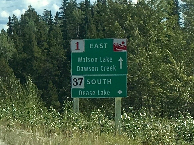
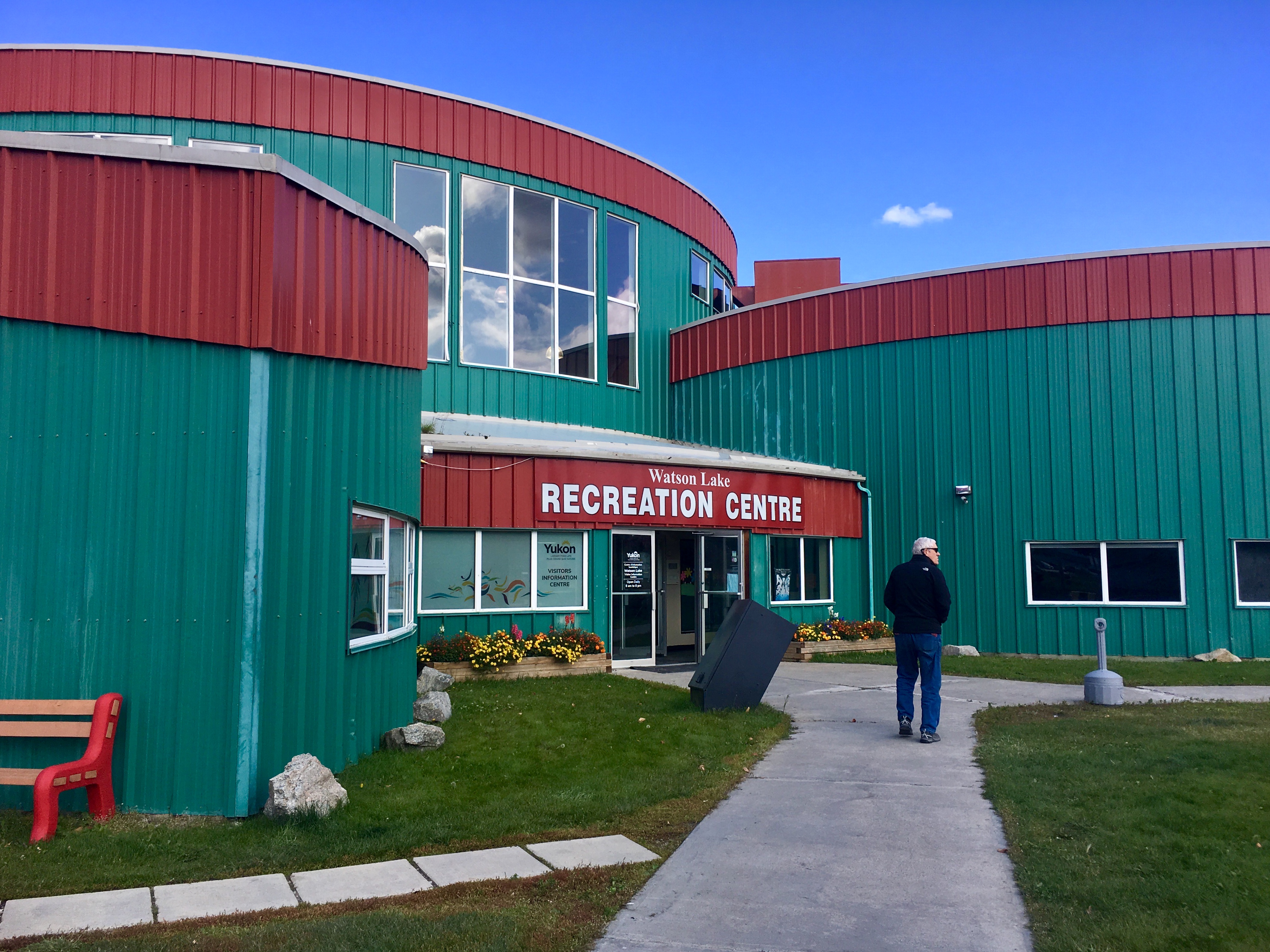
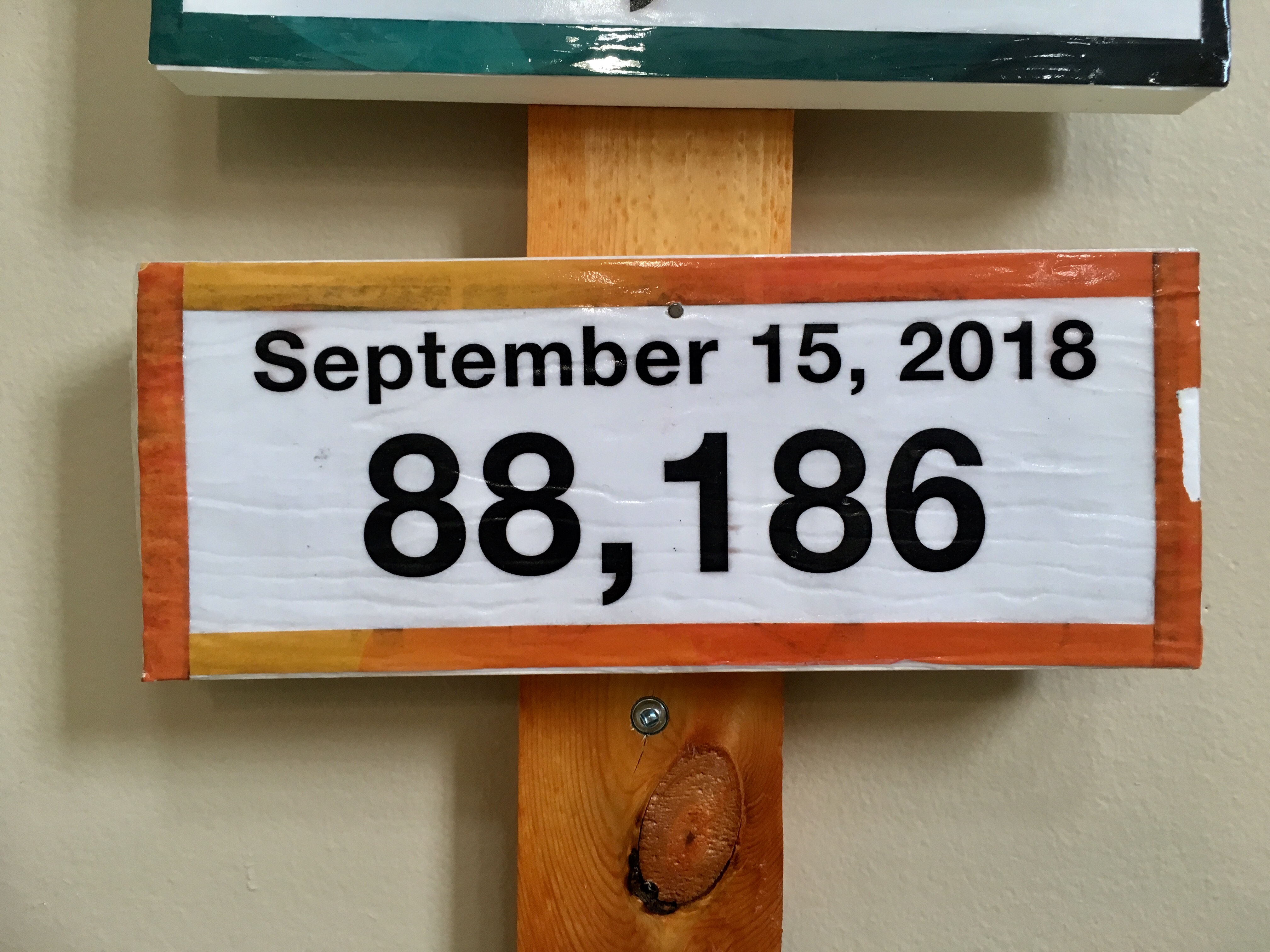
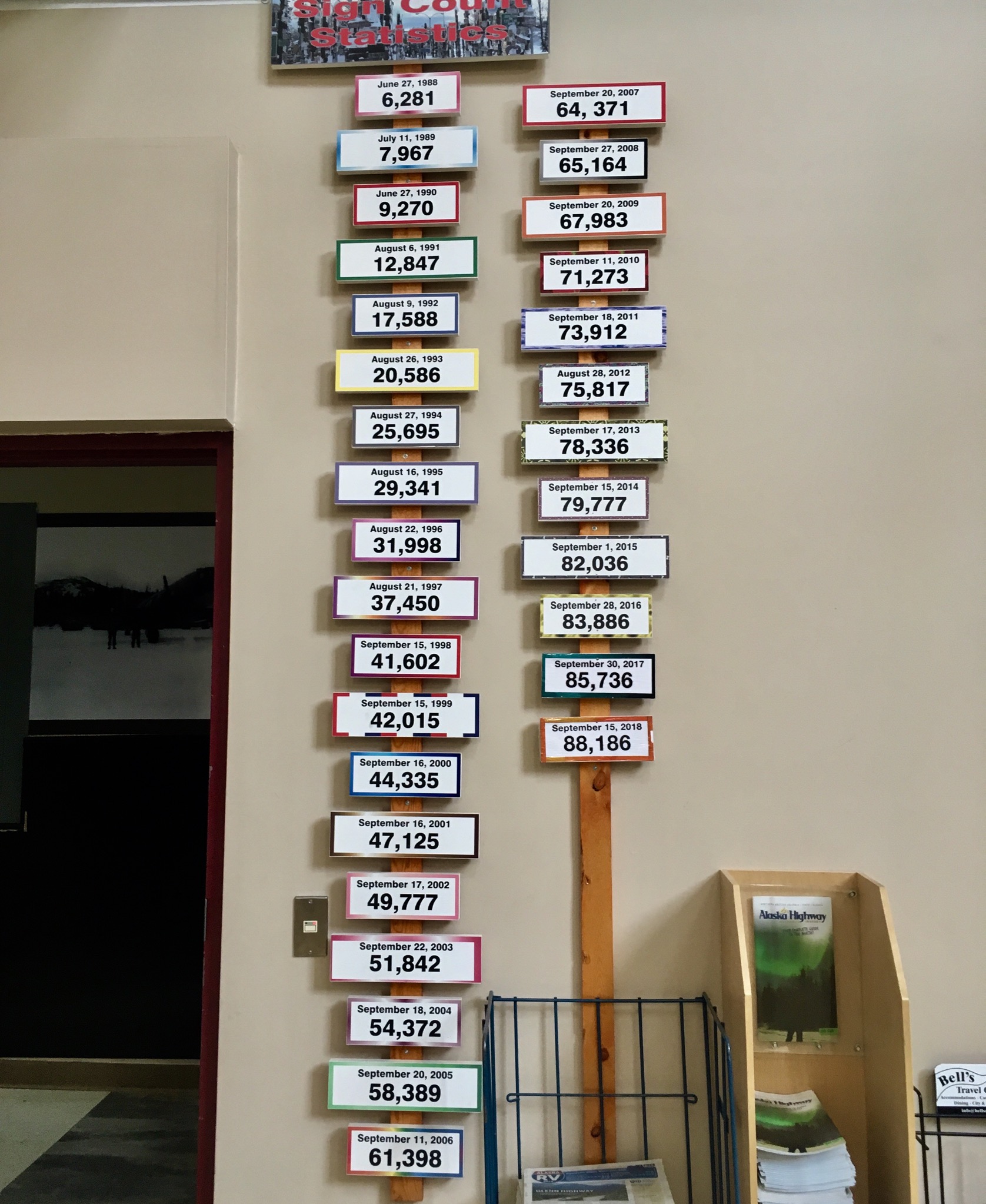
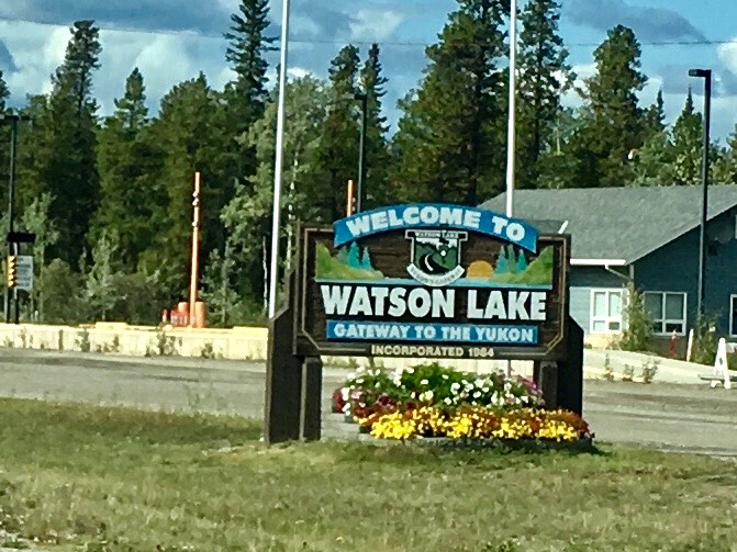
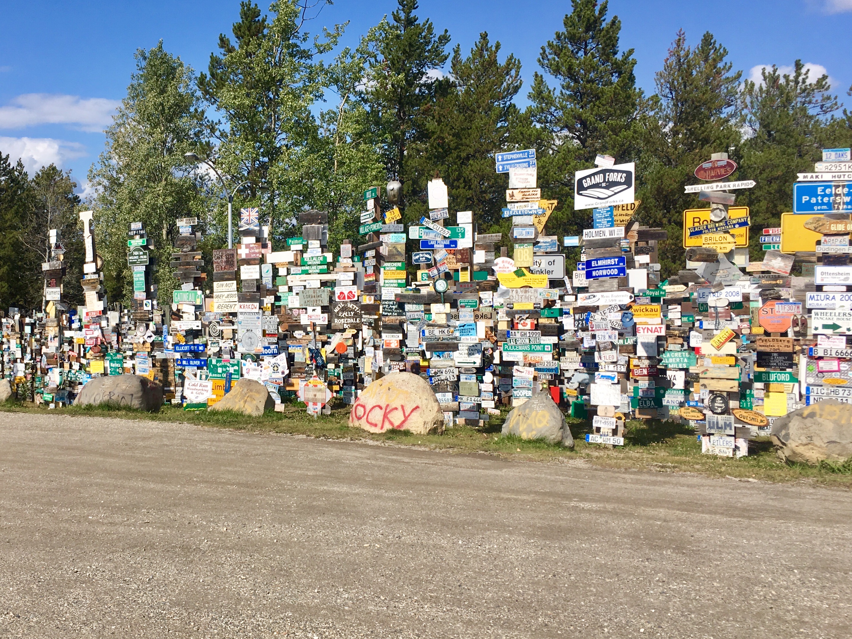
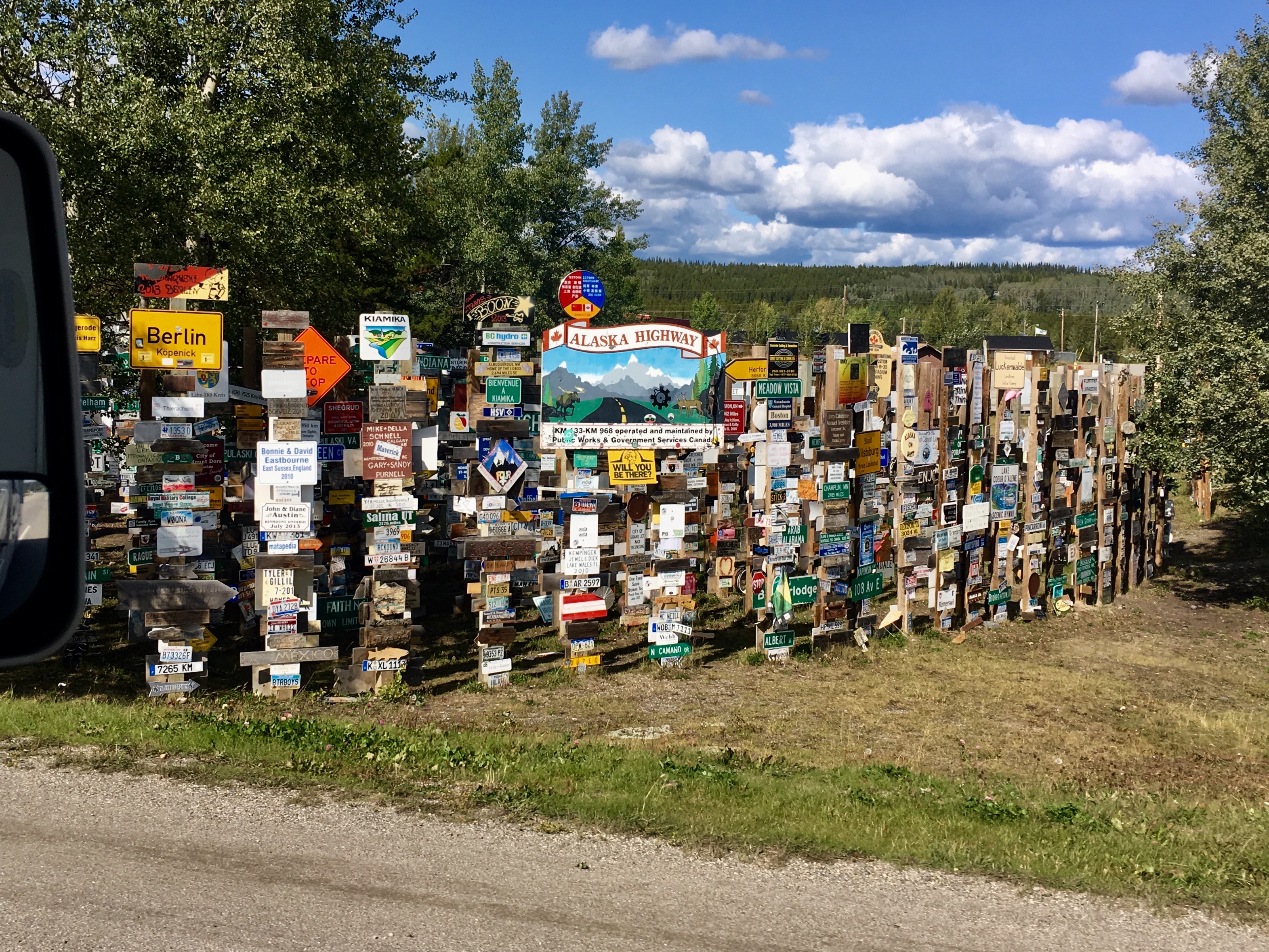
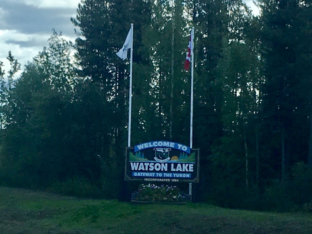
After our trip up to Dawson City and then to Whitehorse, it was time to start back toward the lower 48. One of the first stops along that route is Watson Lake, home of the worlds largest sign forest. Actually there are more signs (88,000) than people (800) by a couple of orders of magnitude!
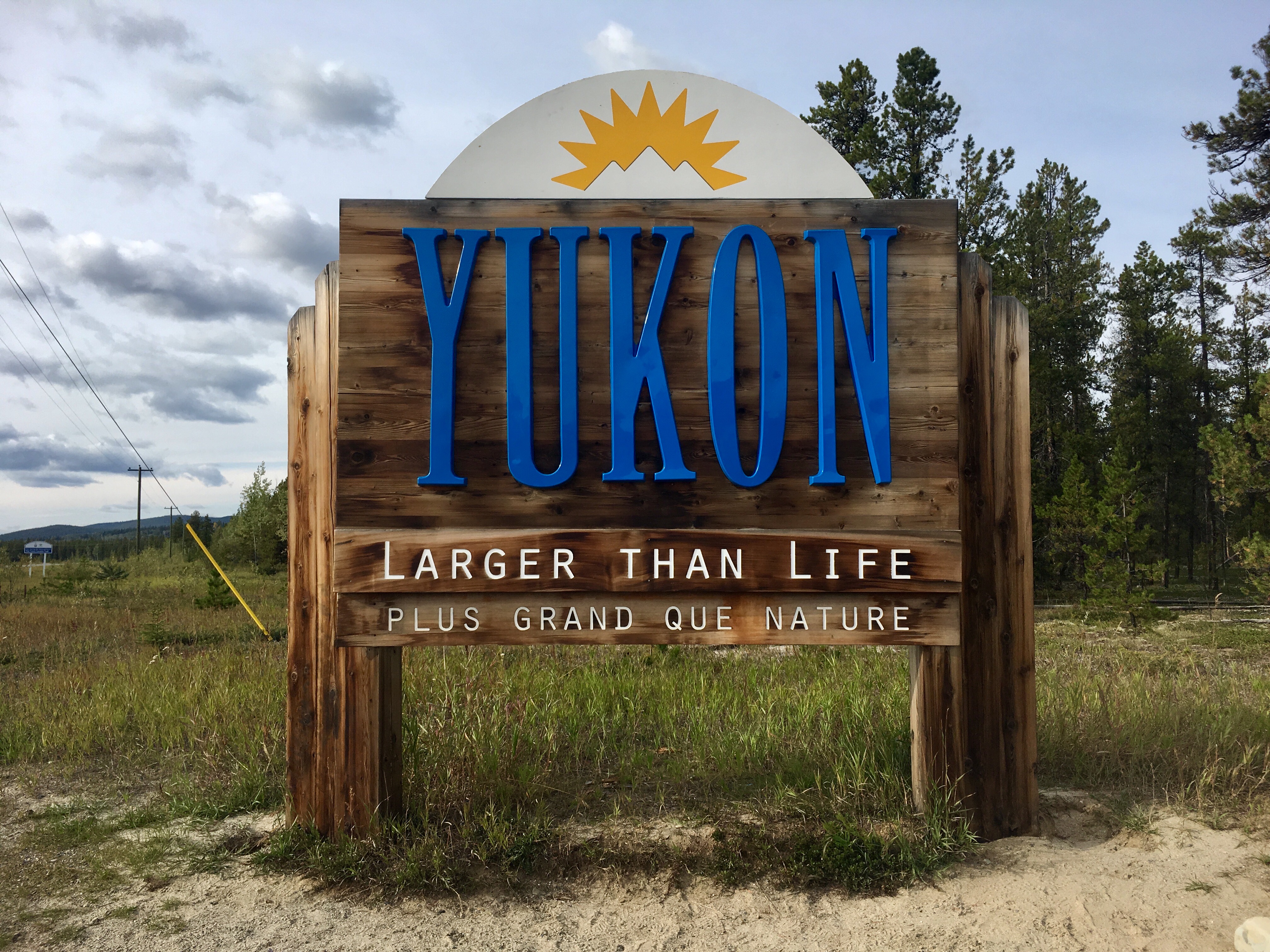
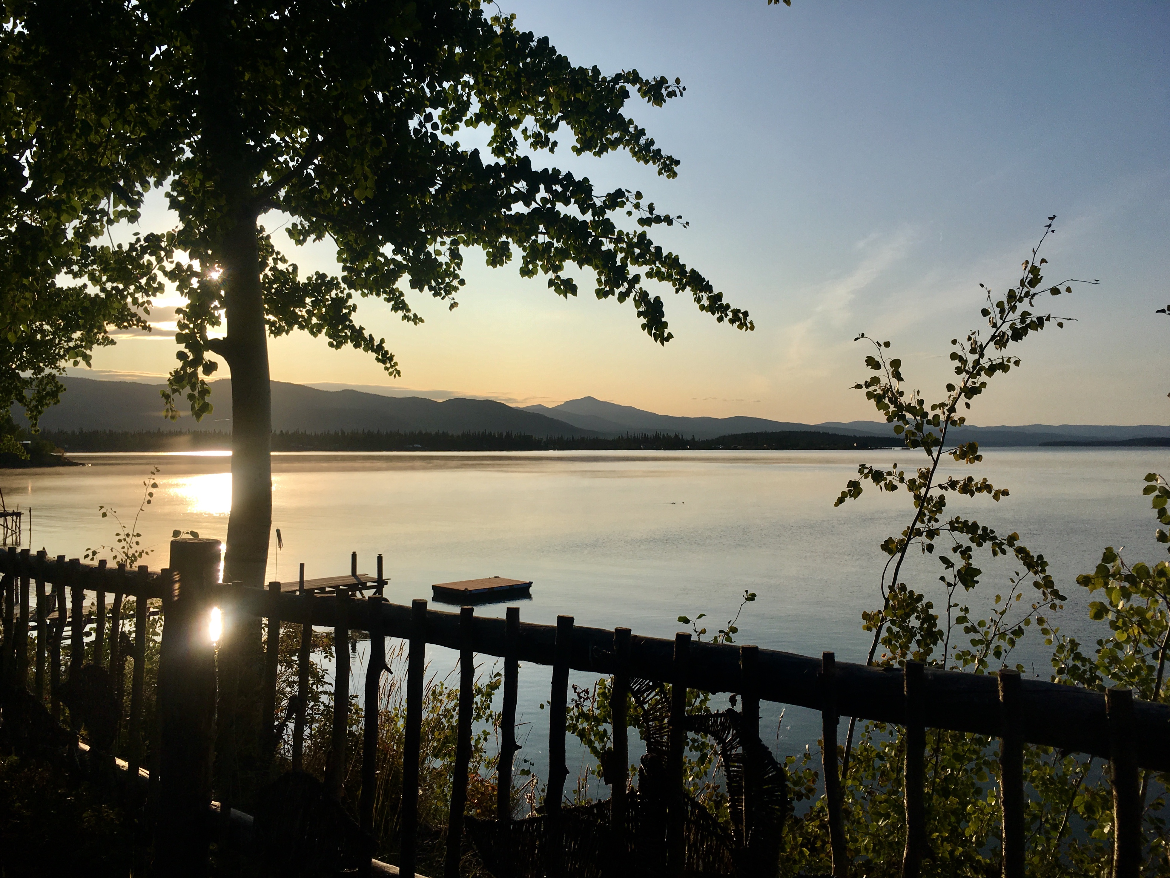
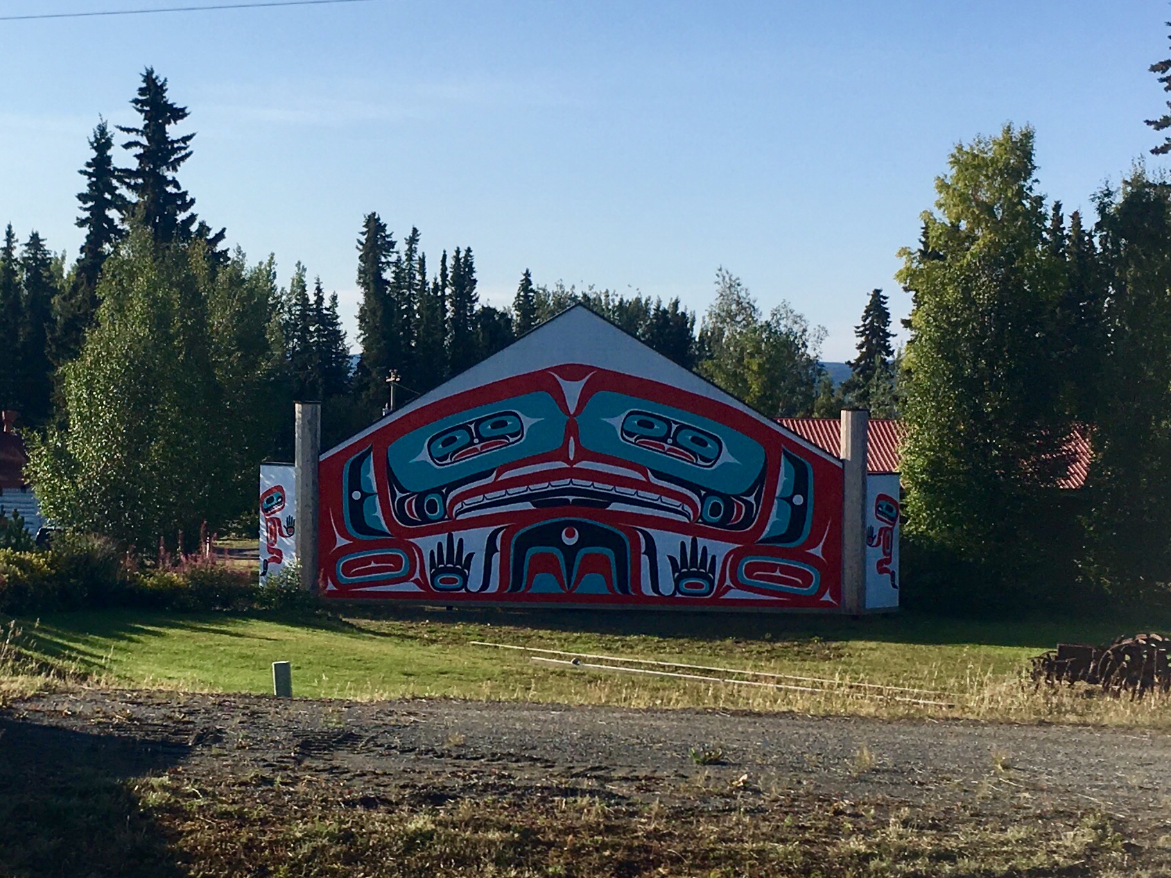
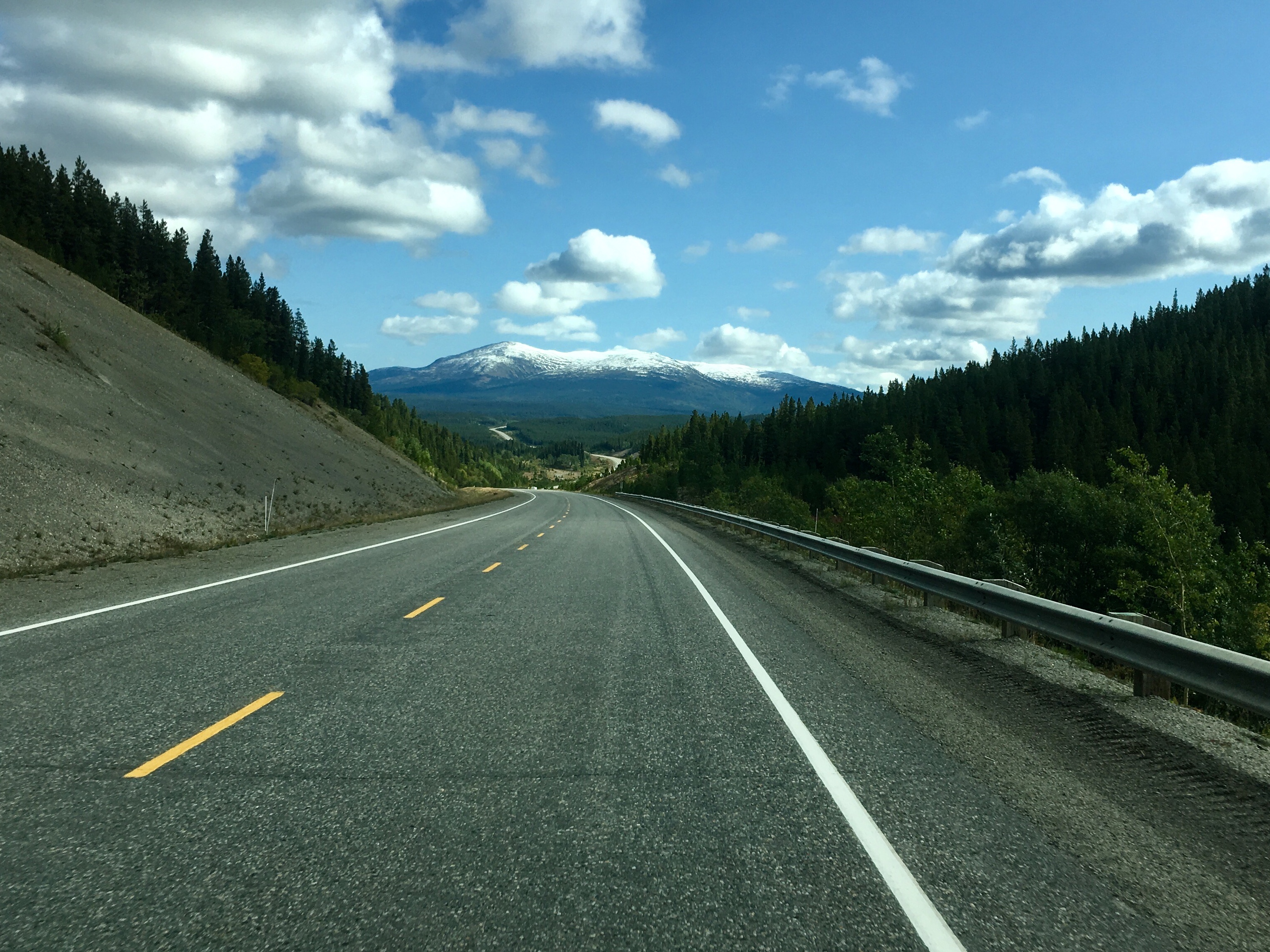
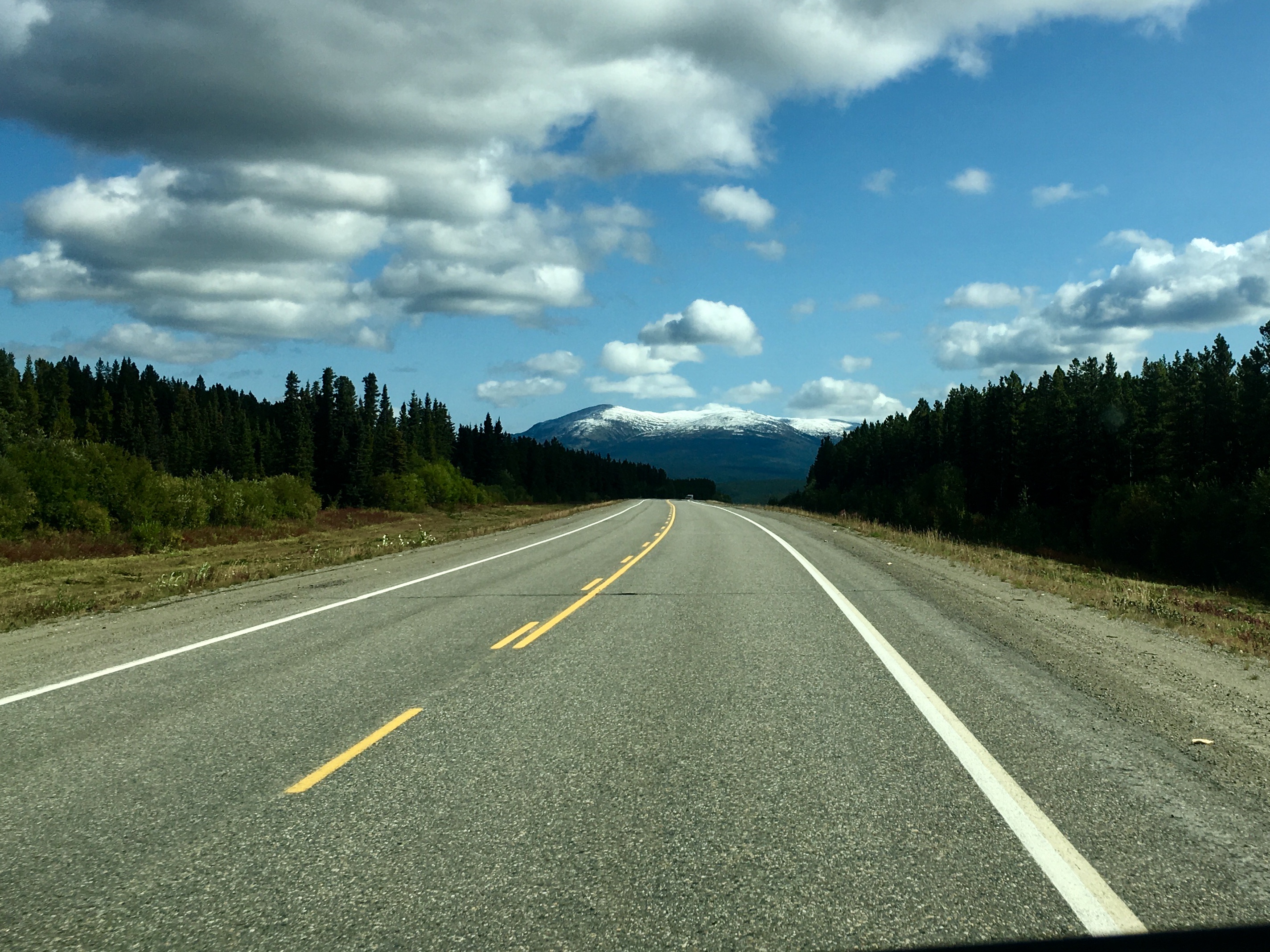
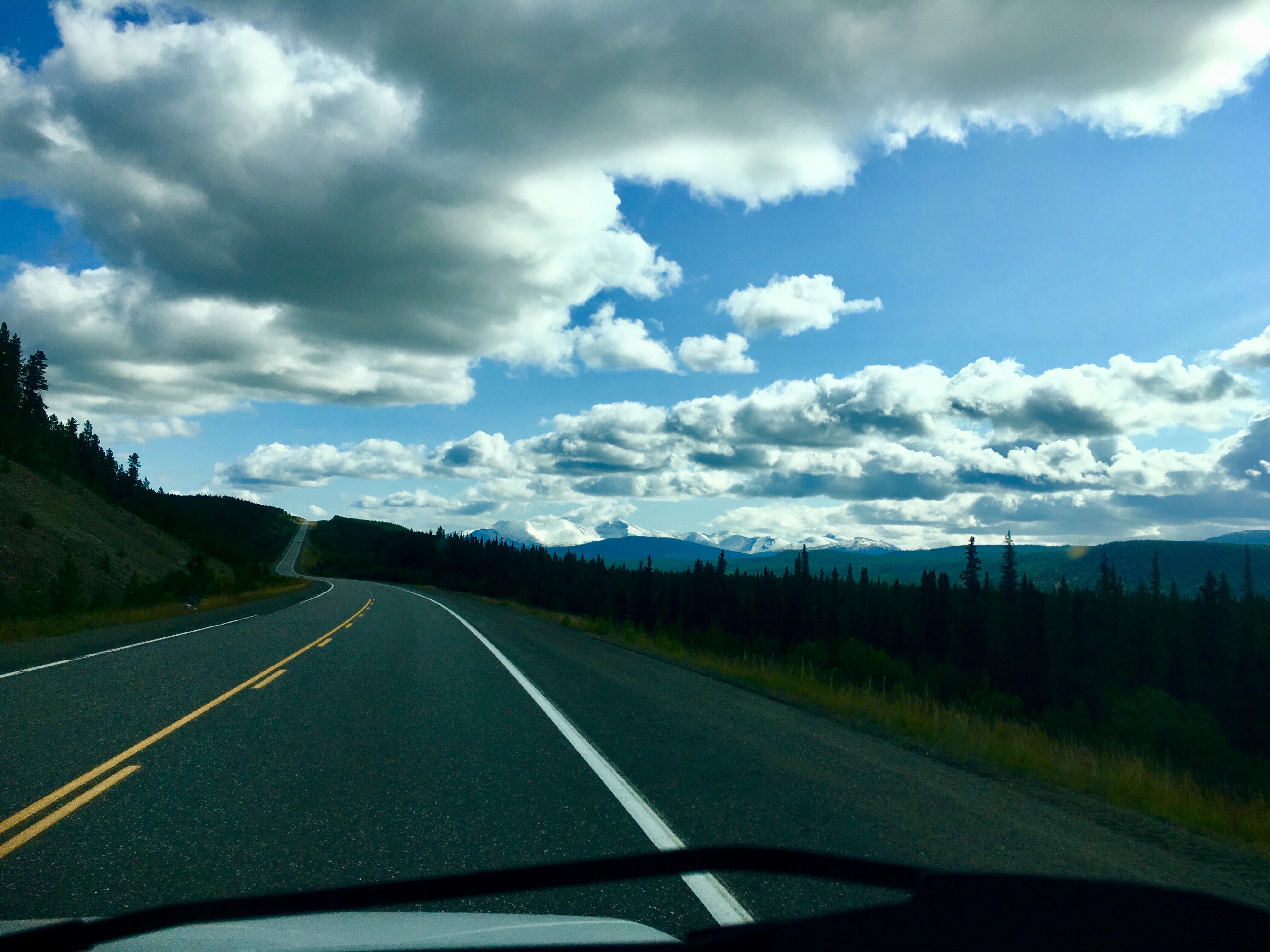
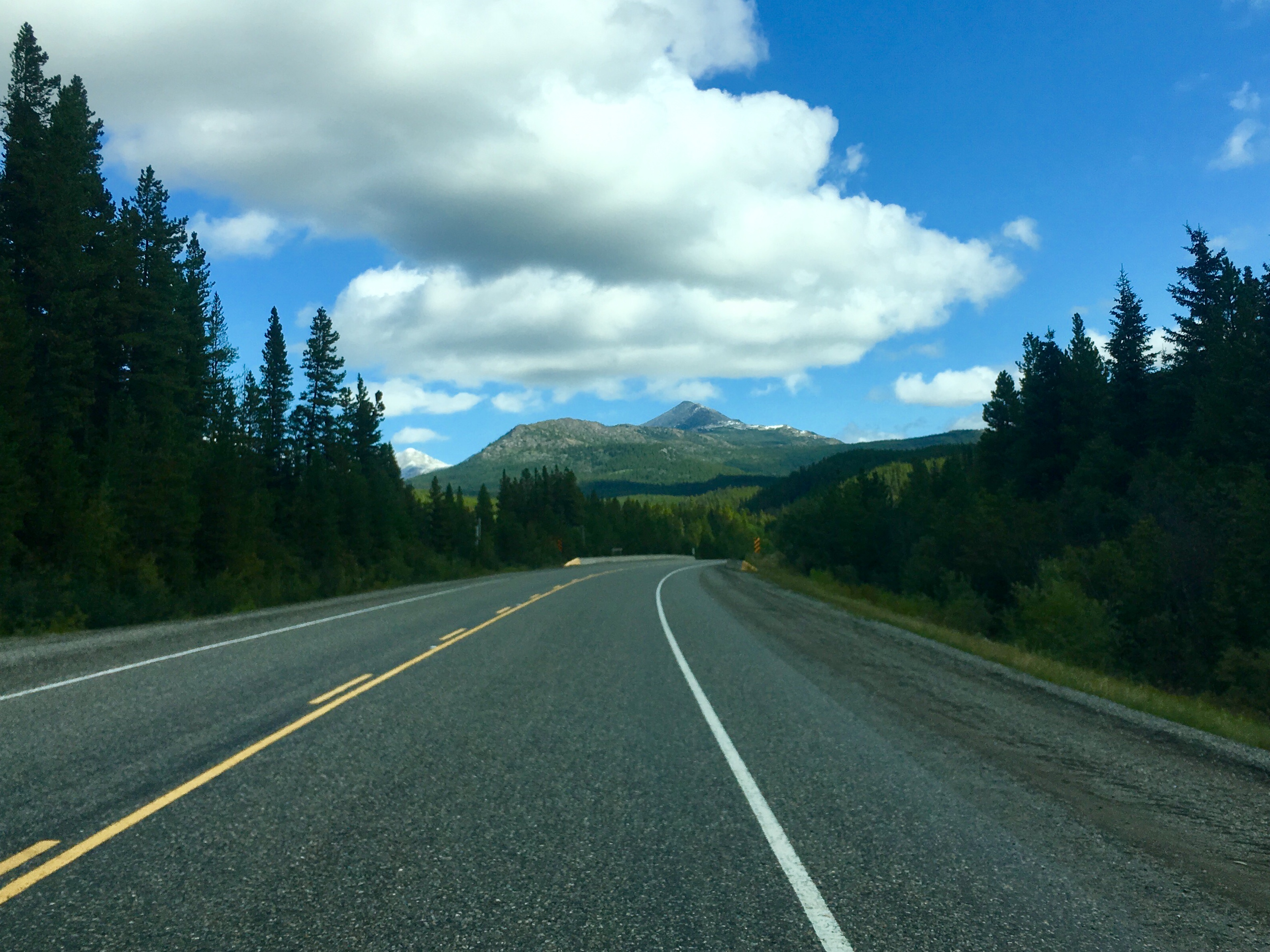
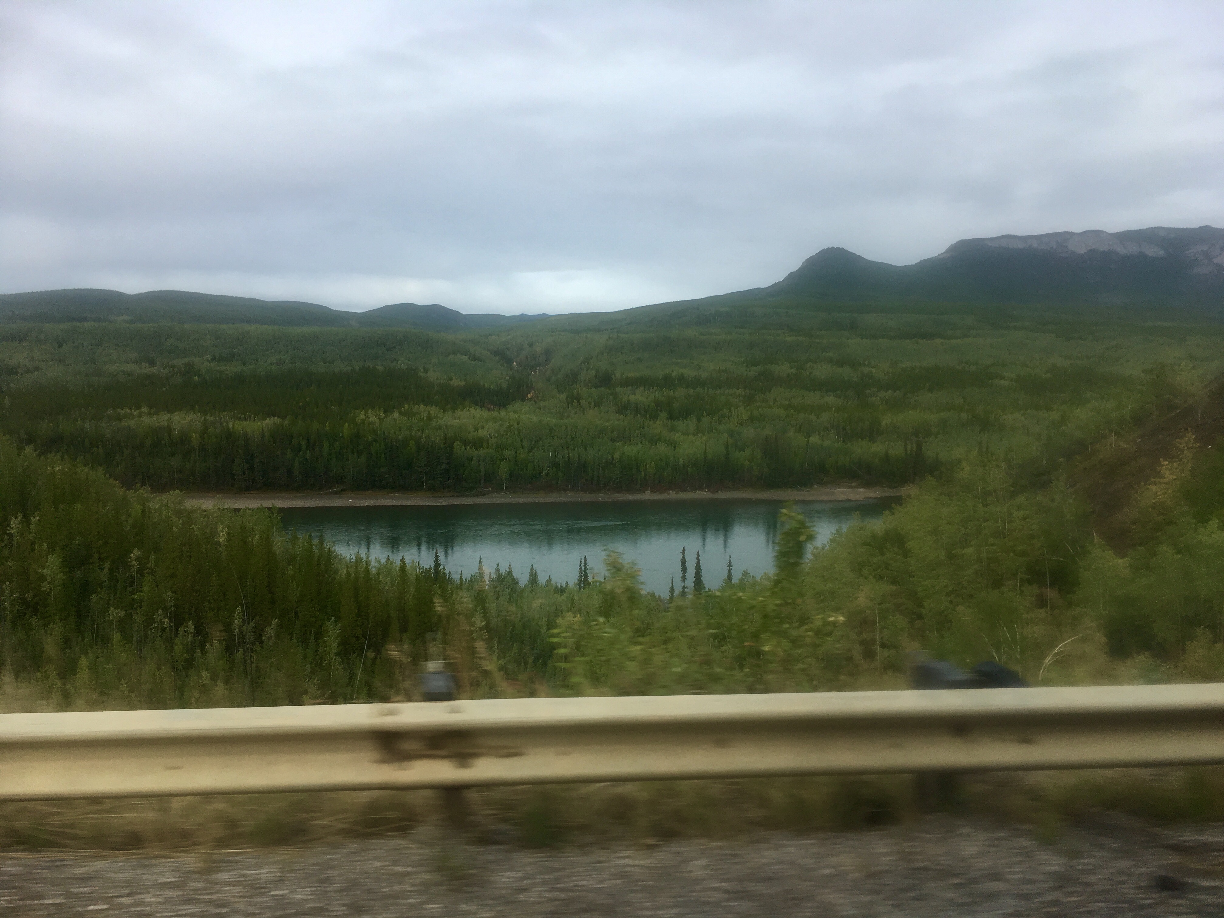
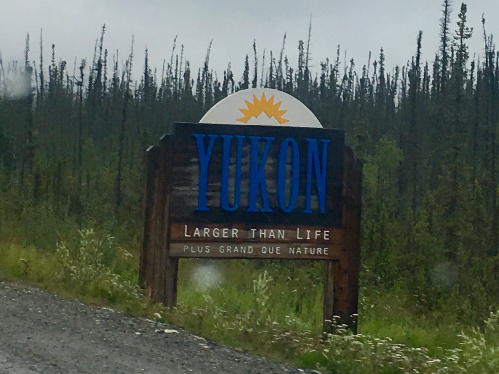
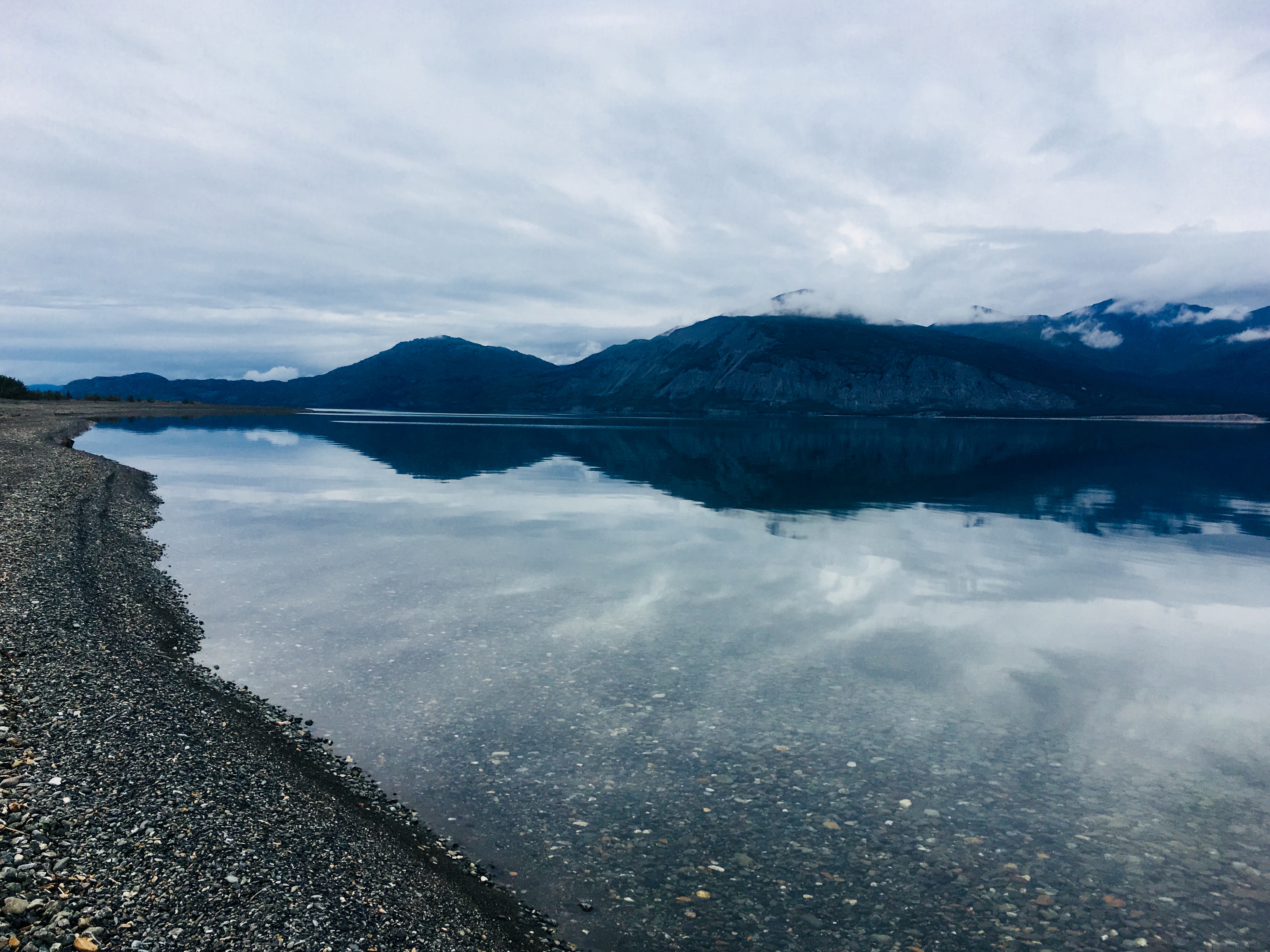
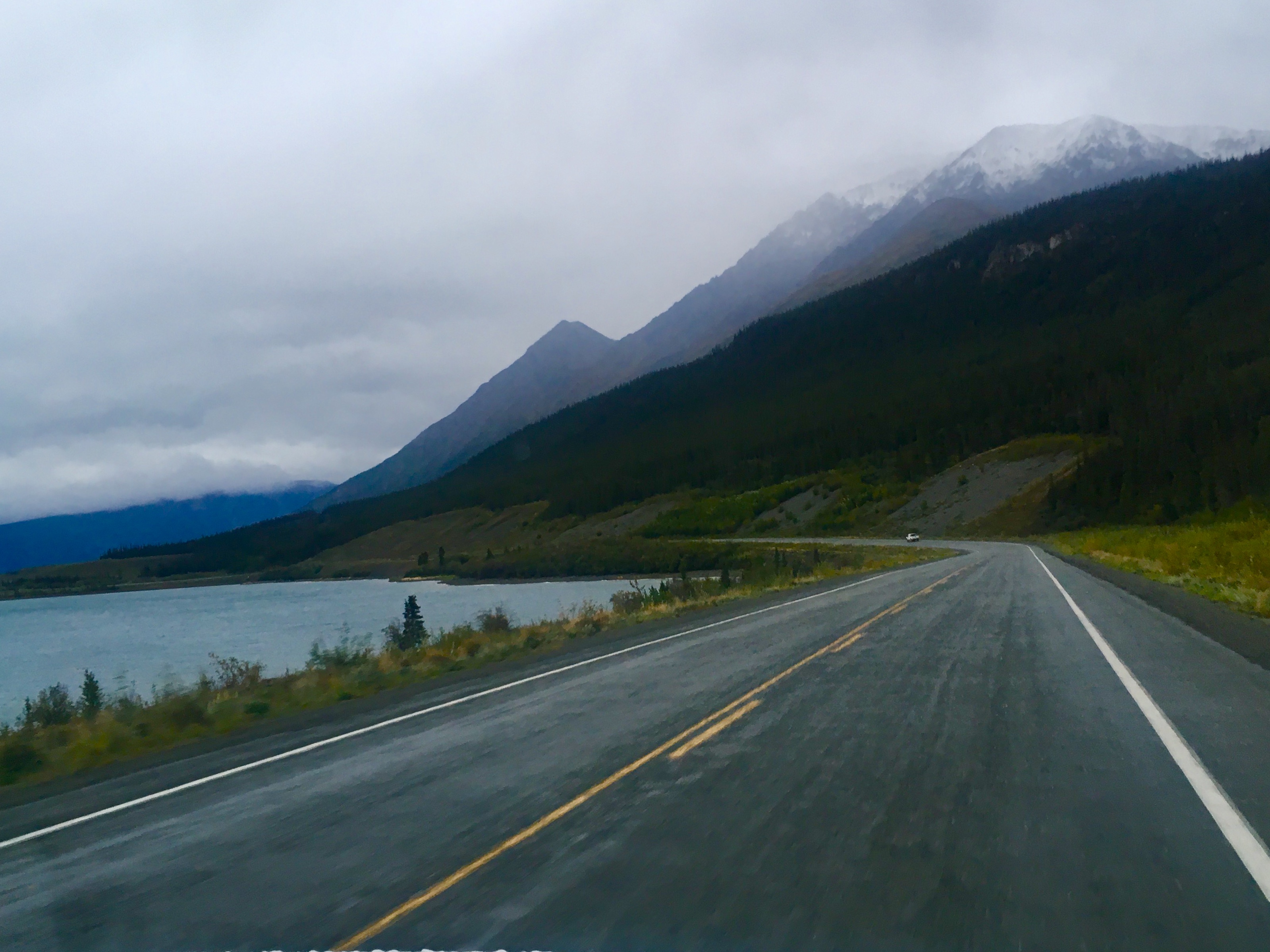
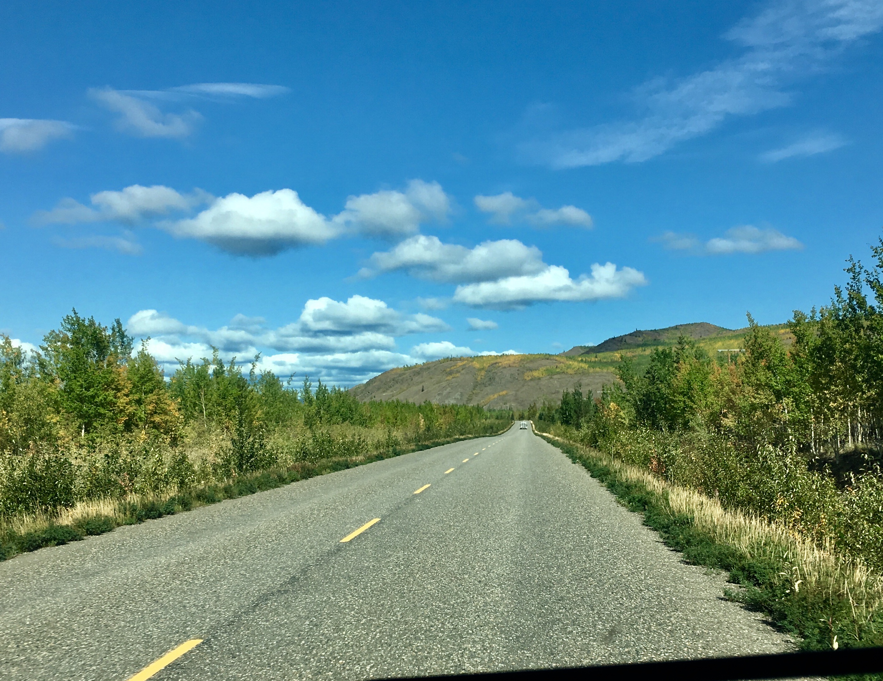
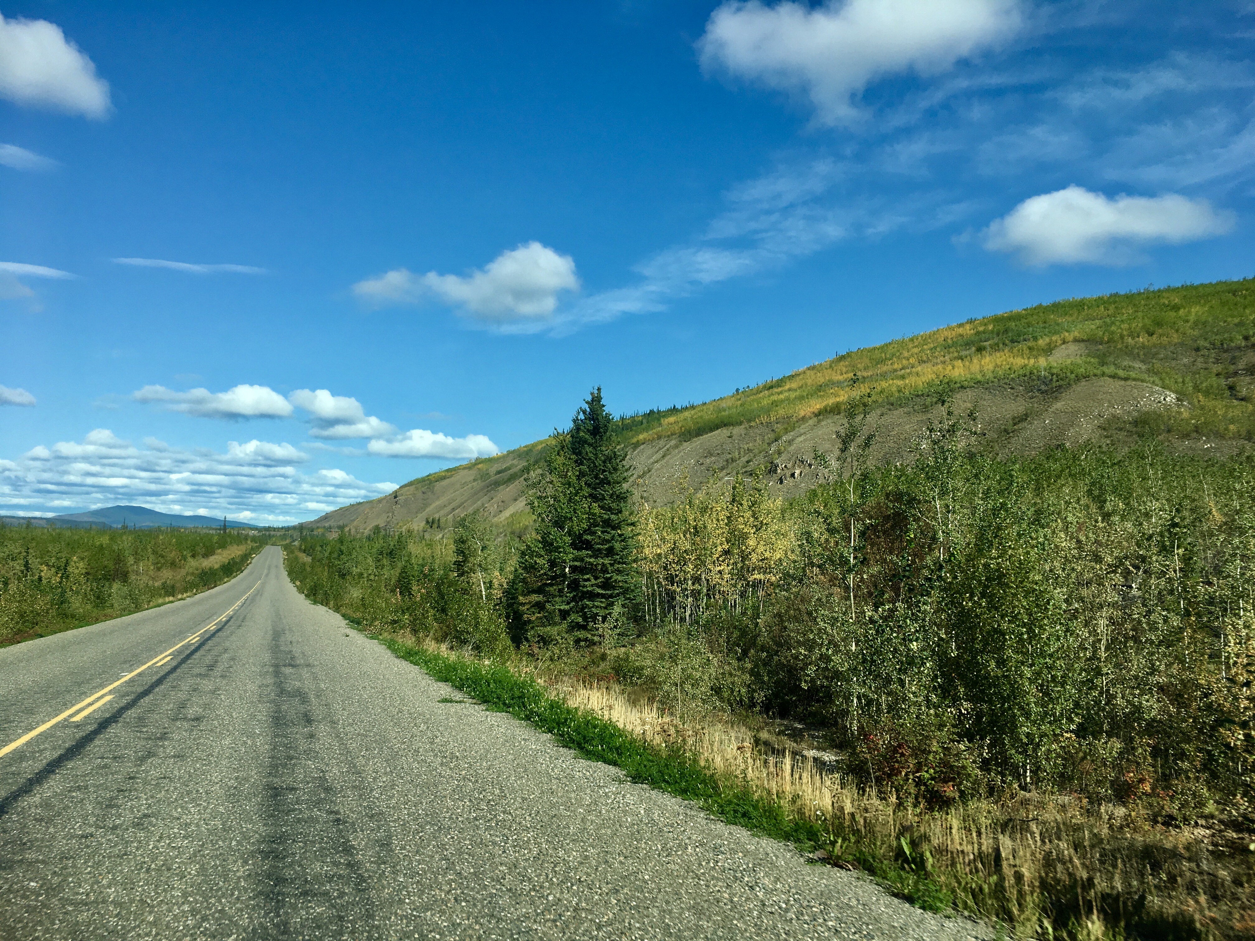
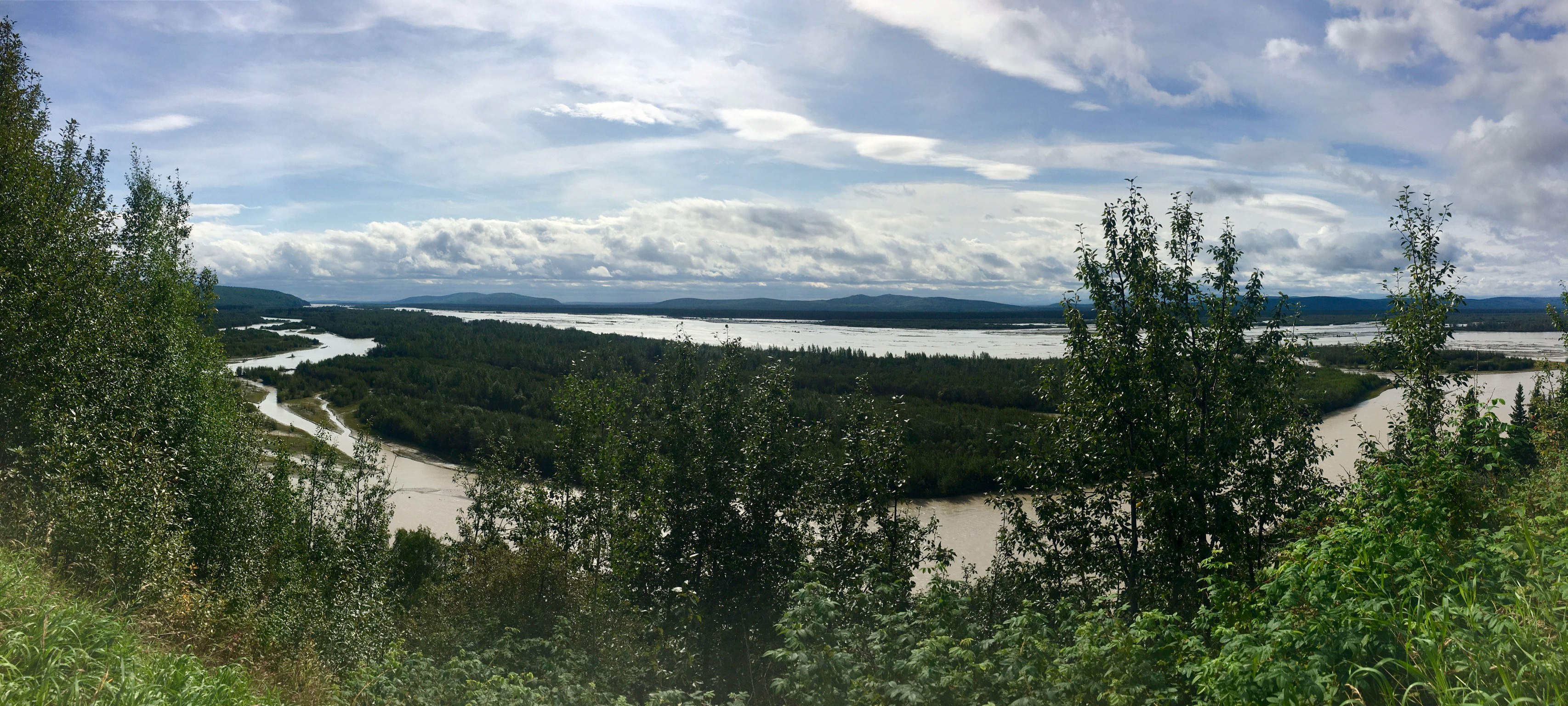
Our trip thru the Yukon continue to bear out the slogan “Larger than Life.” The place is big. The distances vast. The vistas endless.
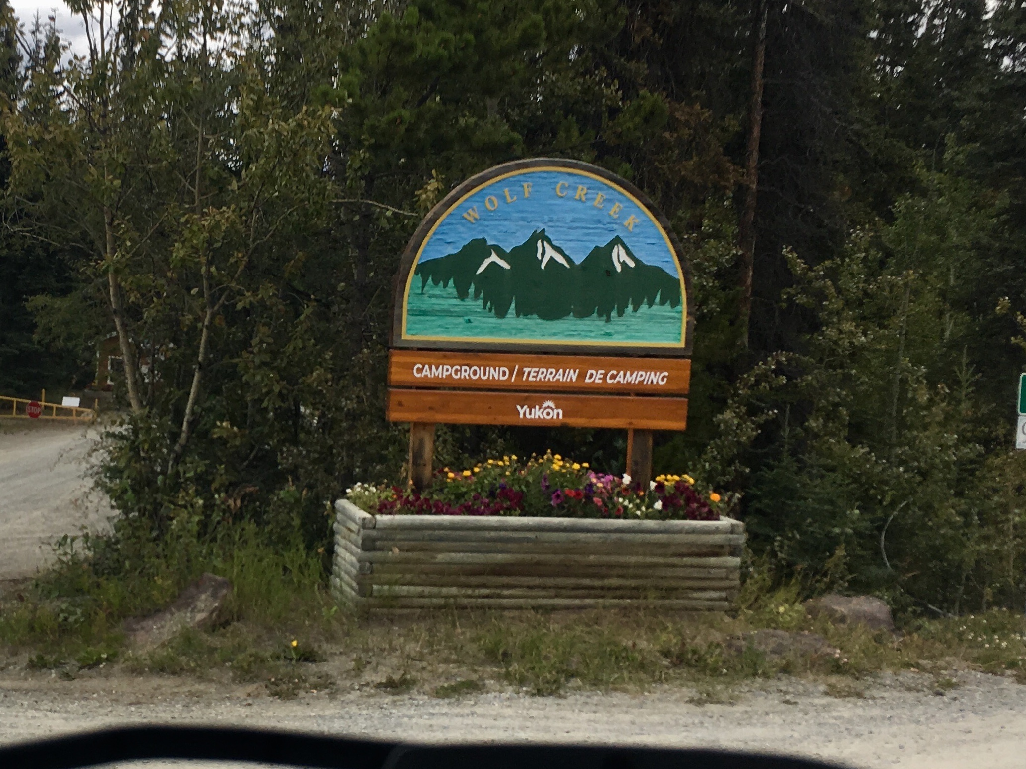
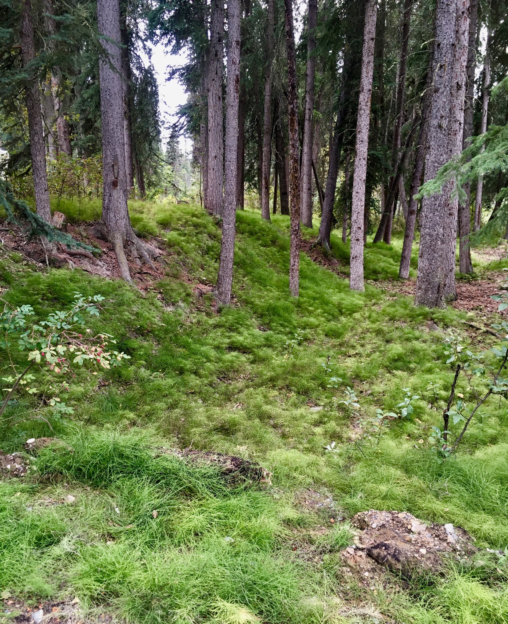
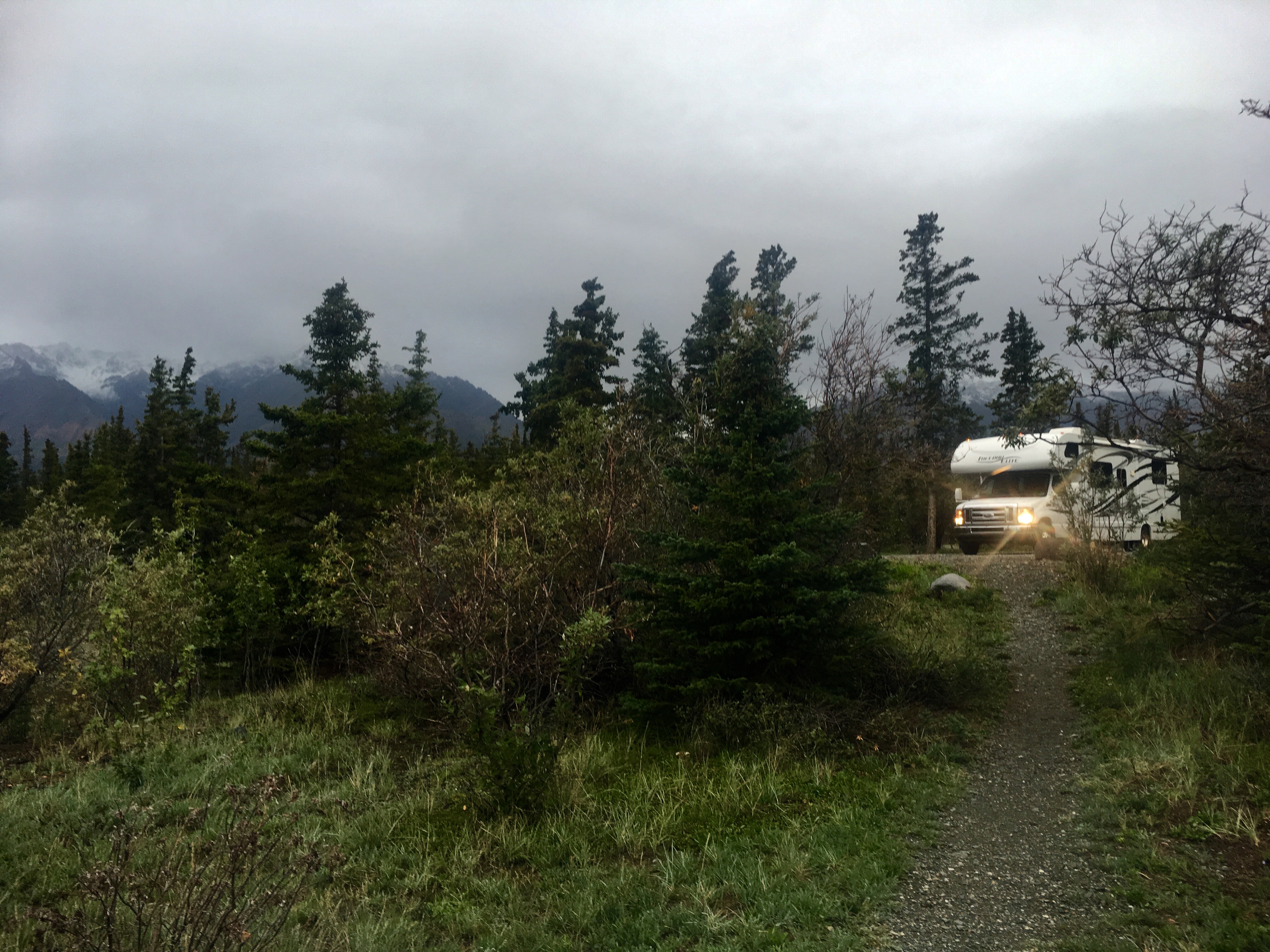
Wolf Creek Campground.
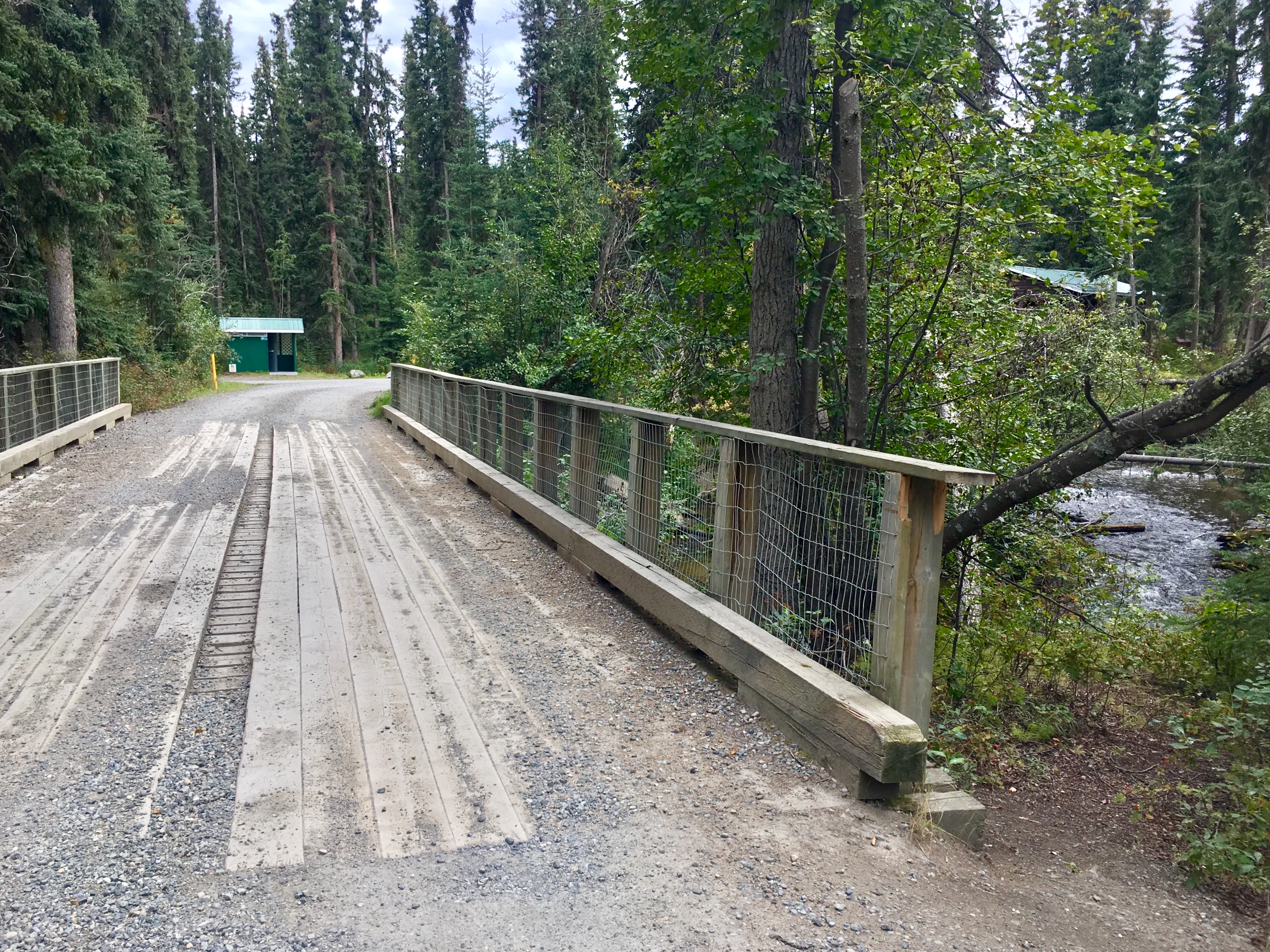
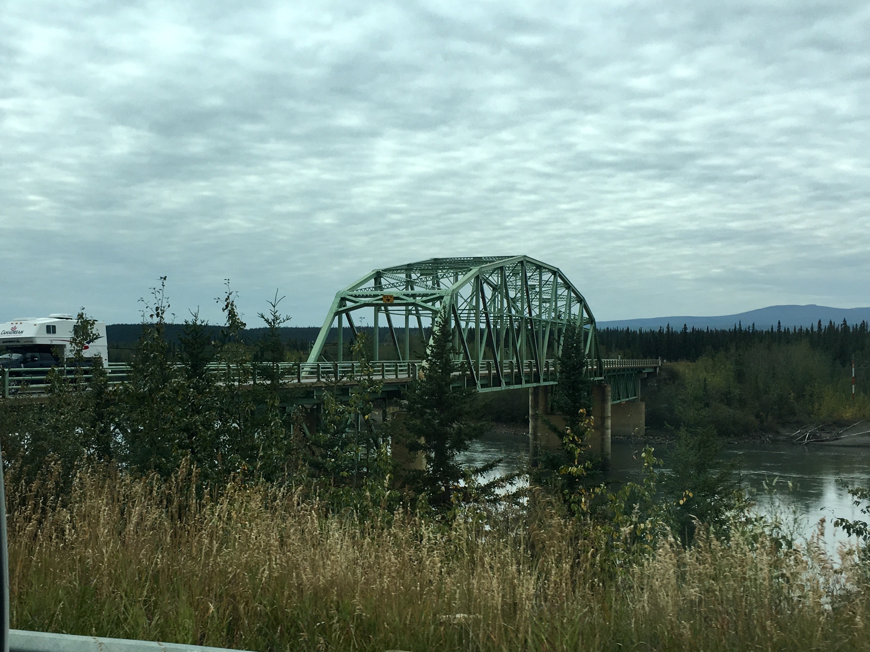
A rustic bridge. Seemed pretty sturdy to us. Sturdy enough to drive across.
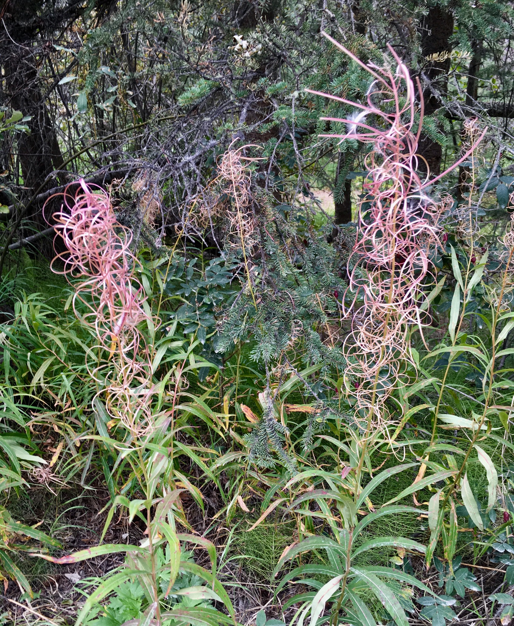
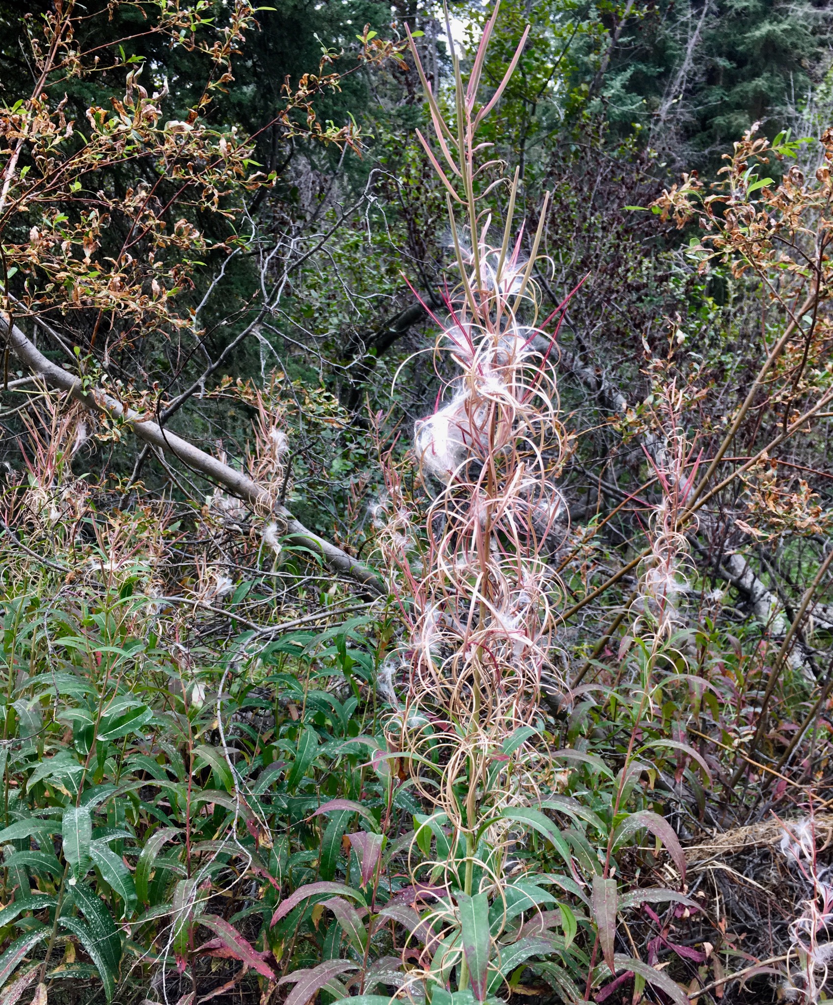
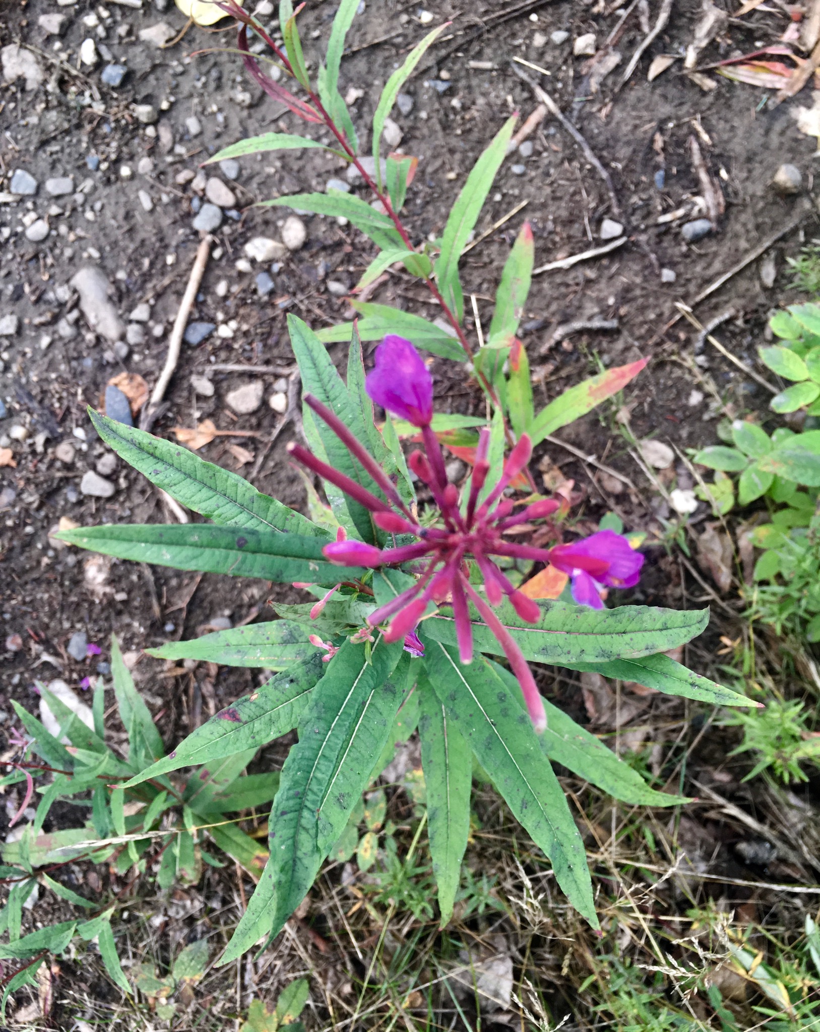
Fireweed. We learned to really appreciate this hardy plant. The name comes from the fact that it’s usually the first plant that grows in a burned out area after a forest fire. It’s more of a wildflower than a weed, although I guess the line is pretty blurry. The blooms start at the bottom and progress up to the top. Then the bottom petals start to die off. When the last of the topmost blooms dies, the plant goes to seed, summer is over and winter has arrived. Notice that the plants above are totally gone to seed….
We collected a couple stalks of fireweed that had gone to seed. It will be interesting to see if it will grow down south.
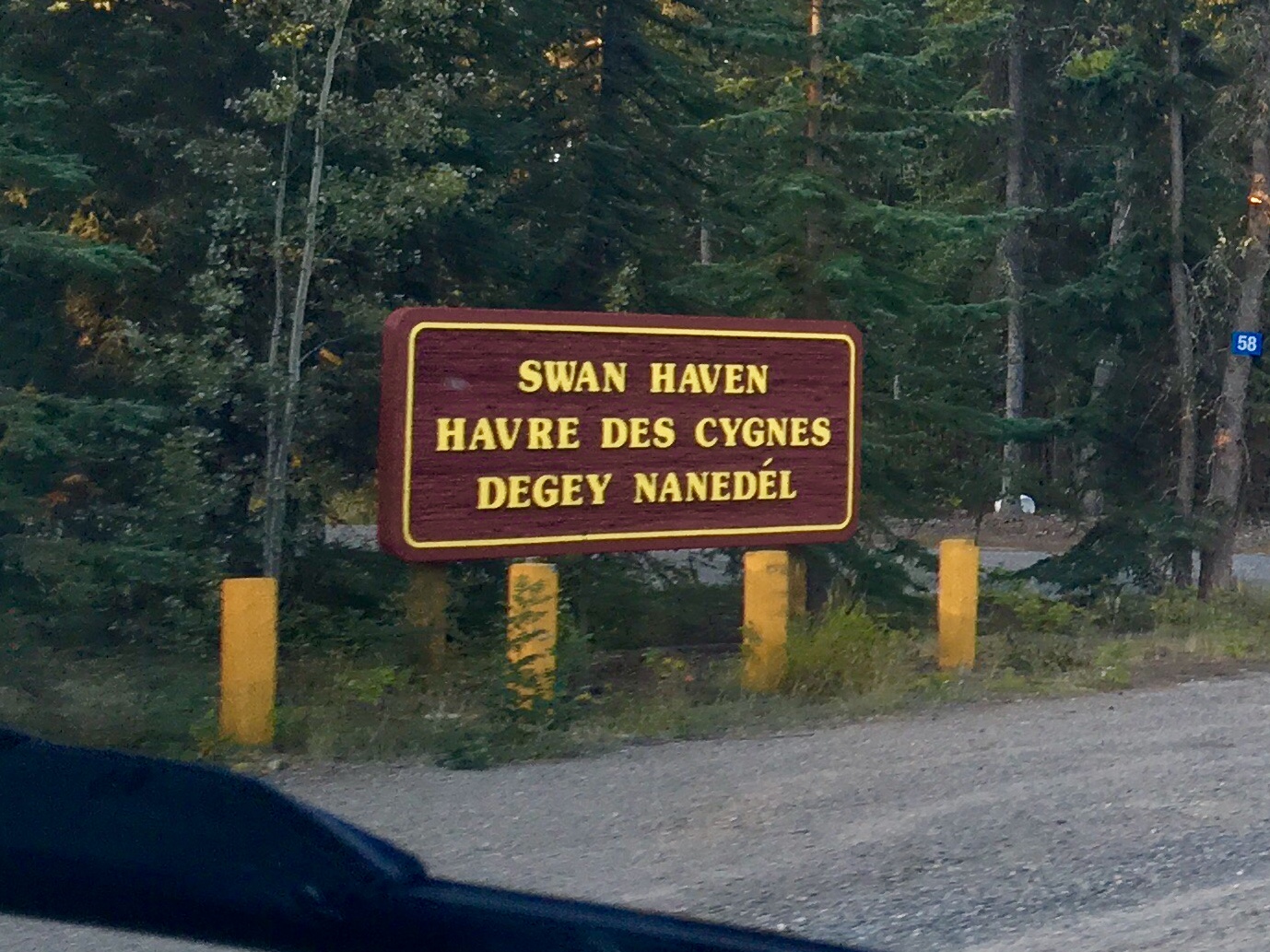
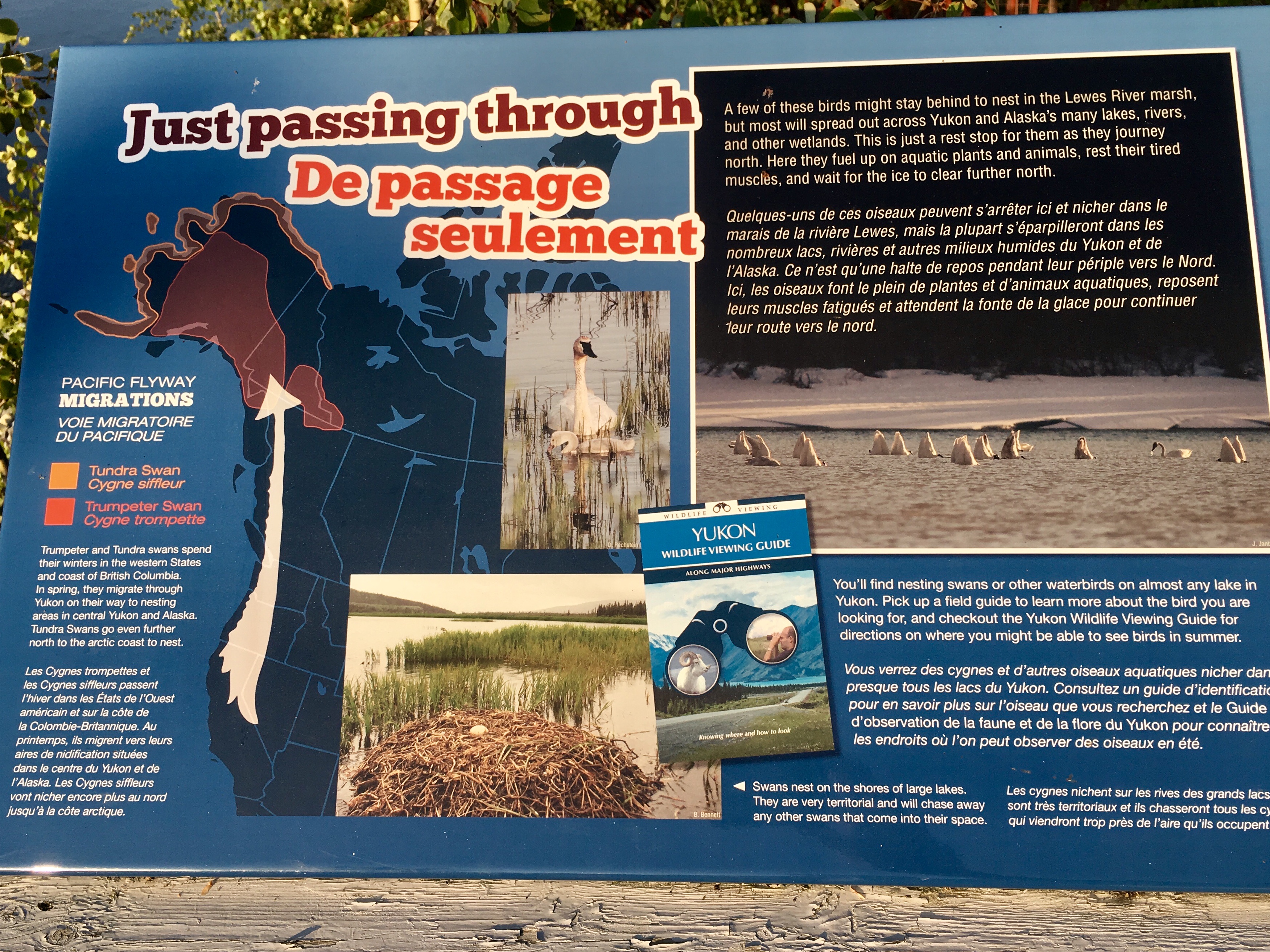
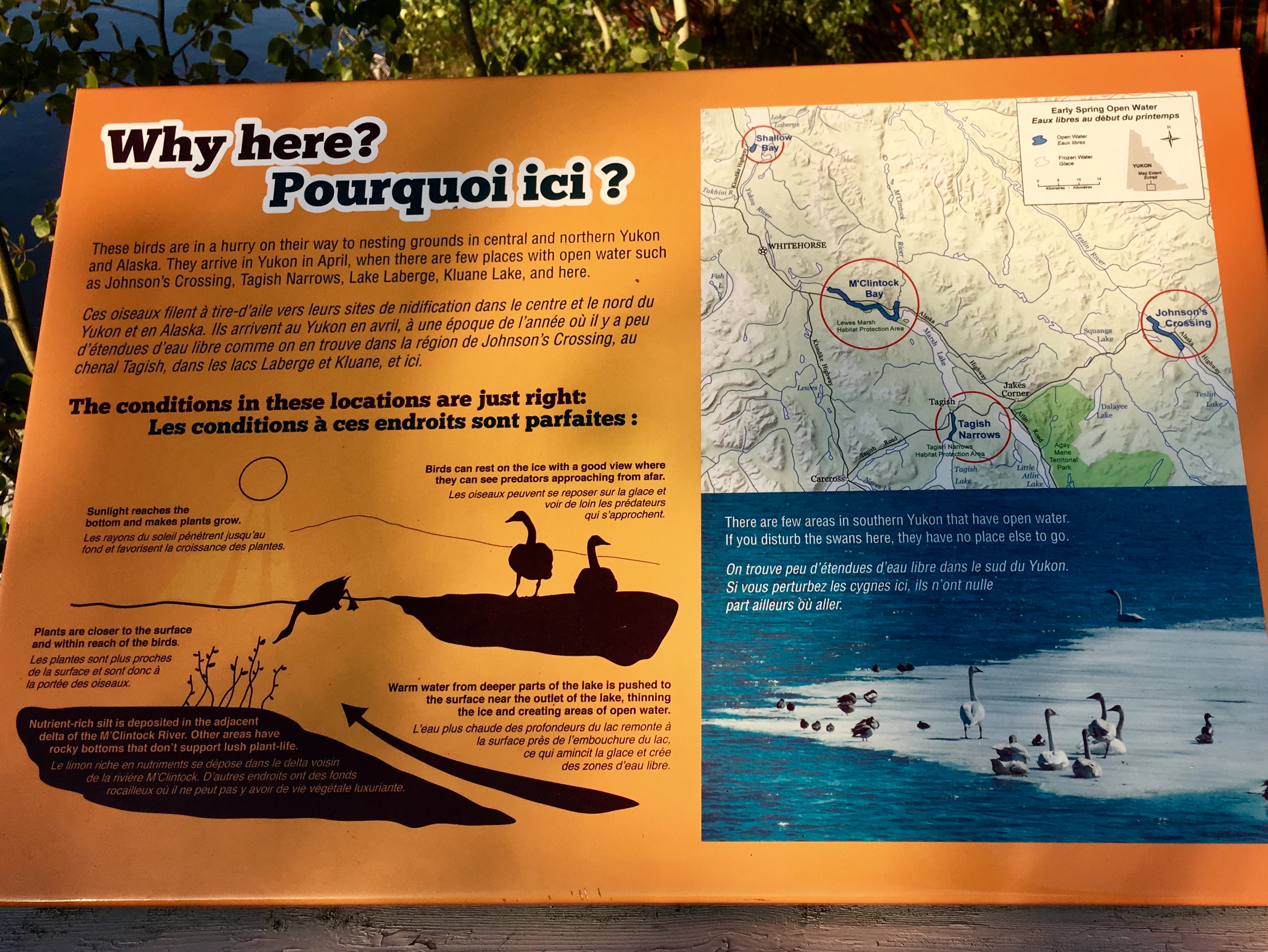
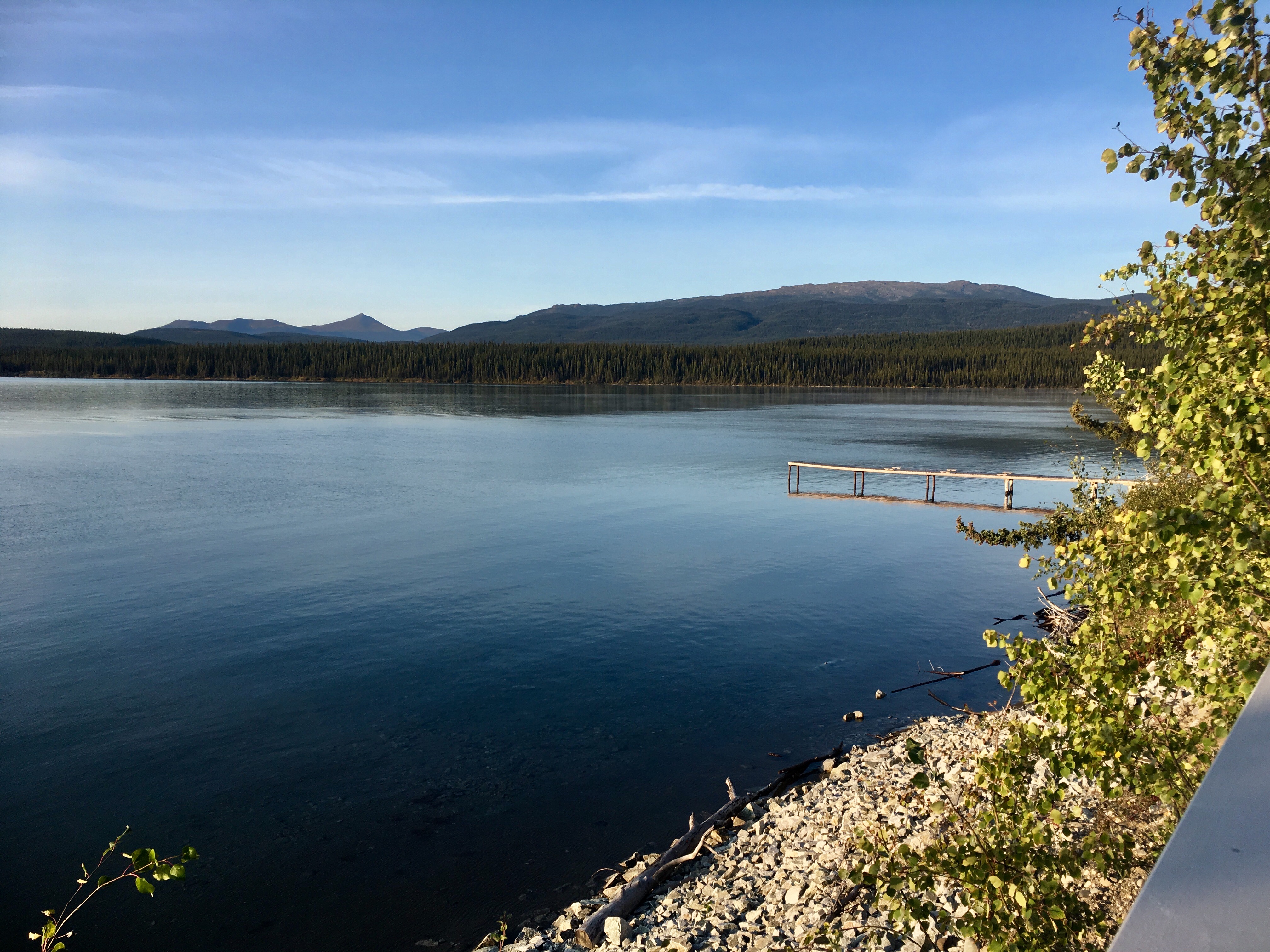
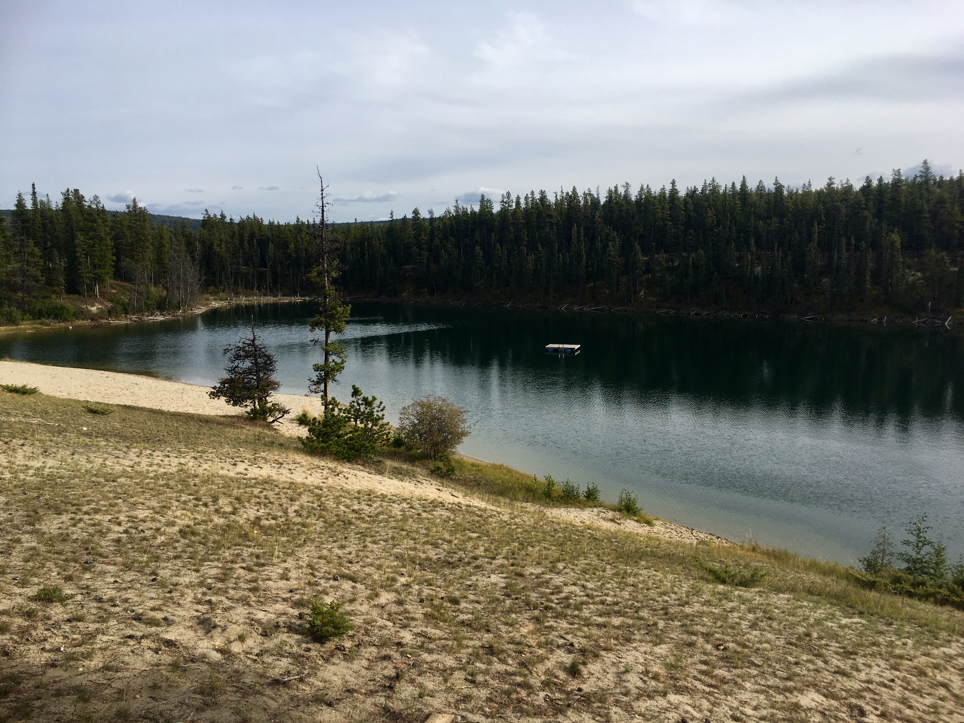
Lots of migrating birds make stops on both their northward and southward journeys. We found the swan hangout, absent any swans, unfortunately.
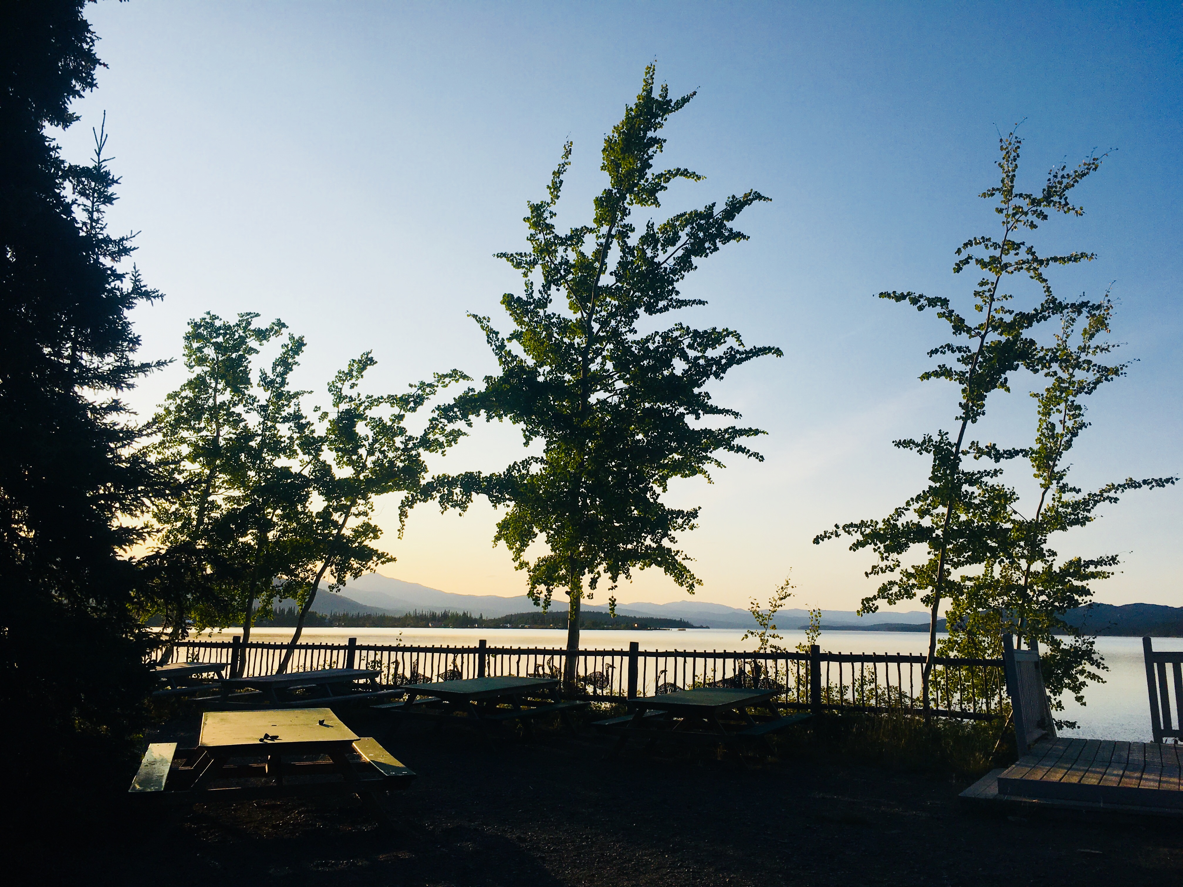
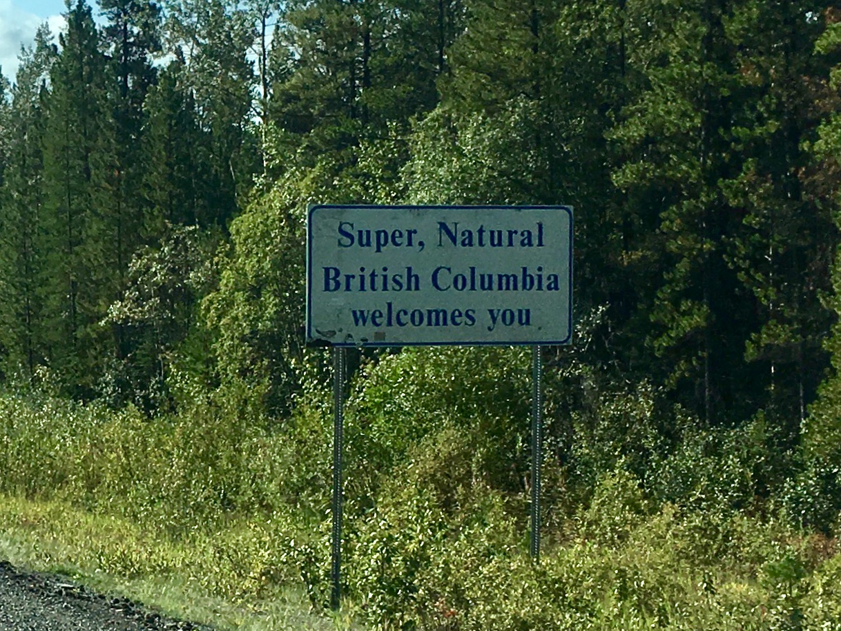
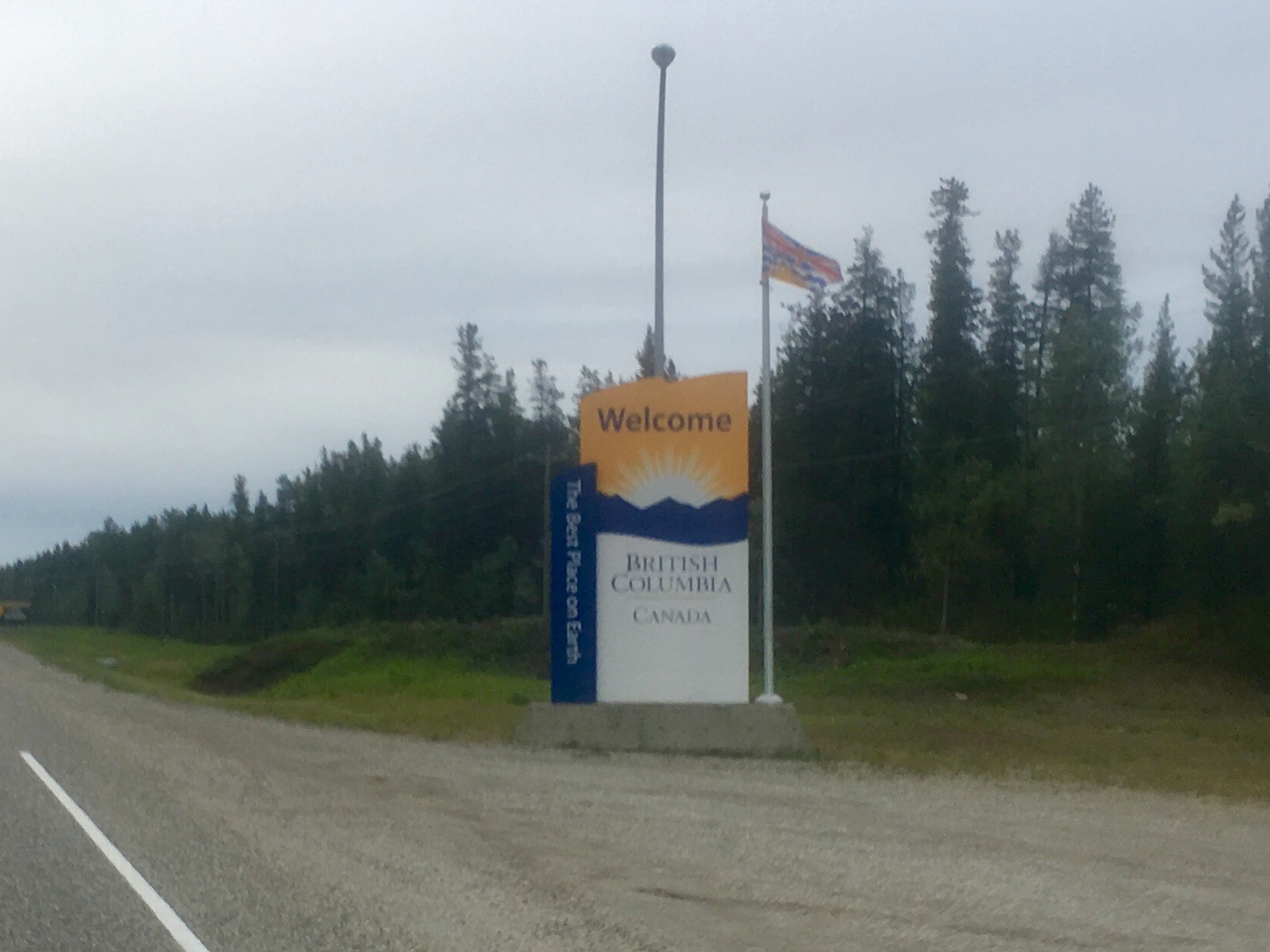
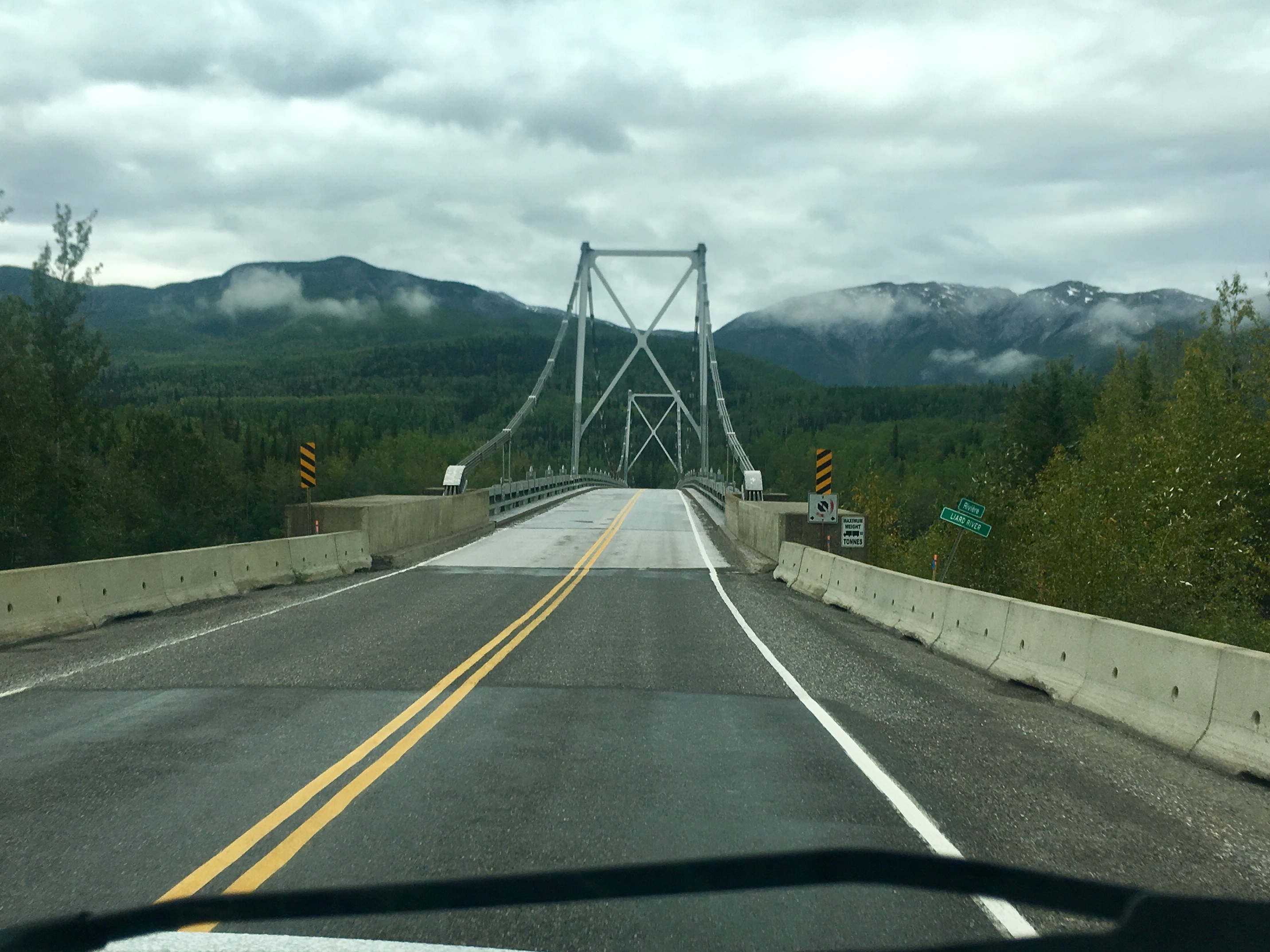
Crossing the line heading south back into BC from the Yukon.
A meal stop on the side of the road.
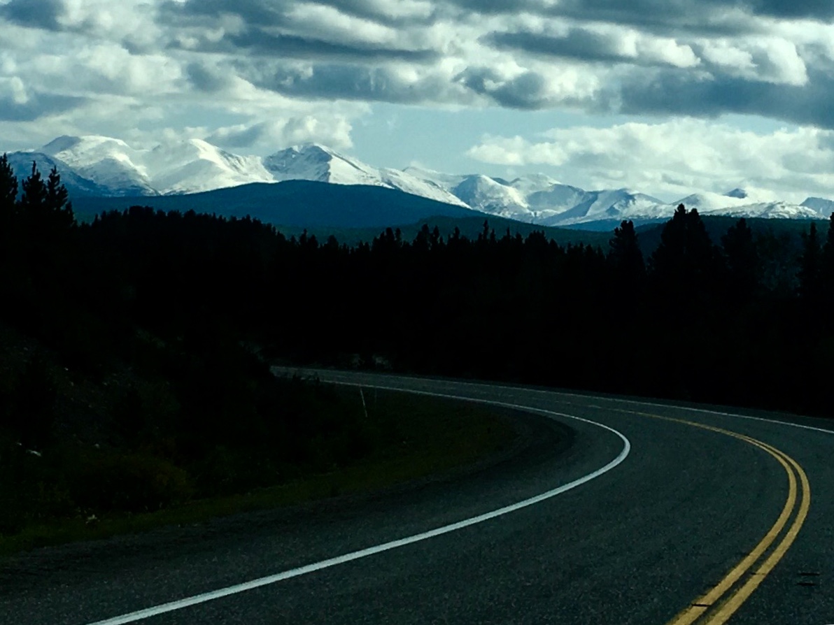
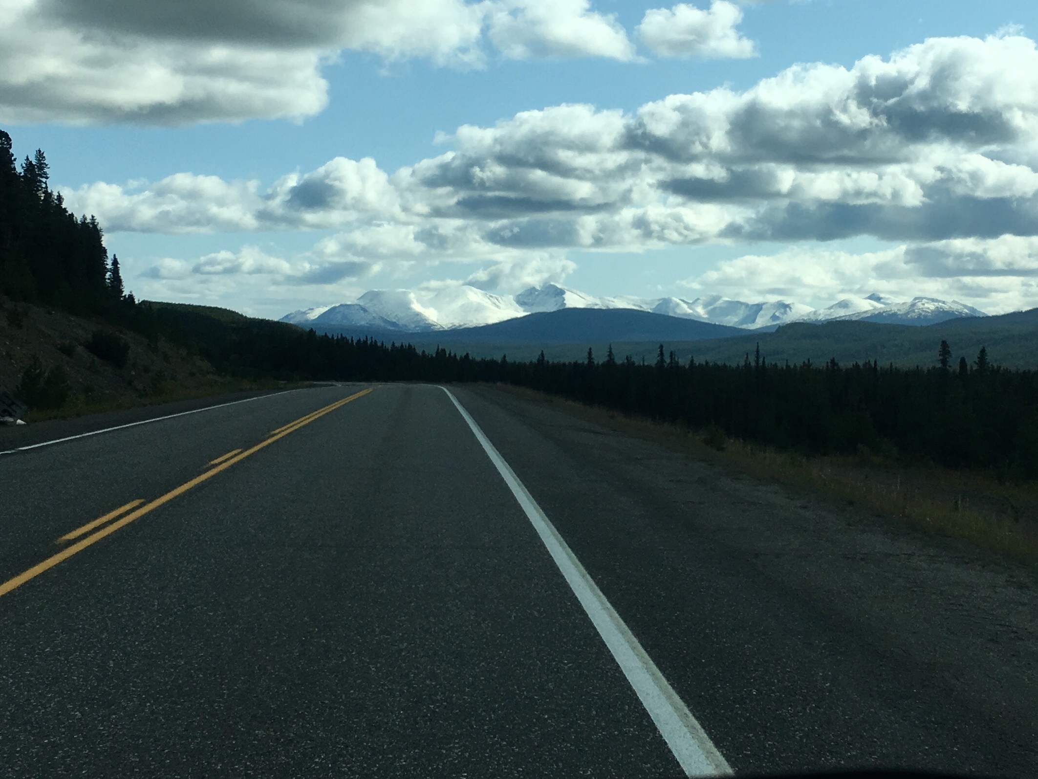
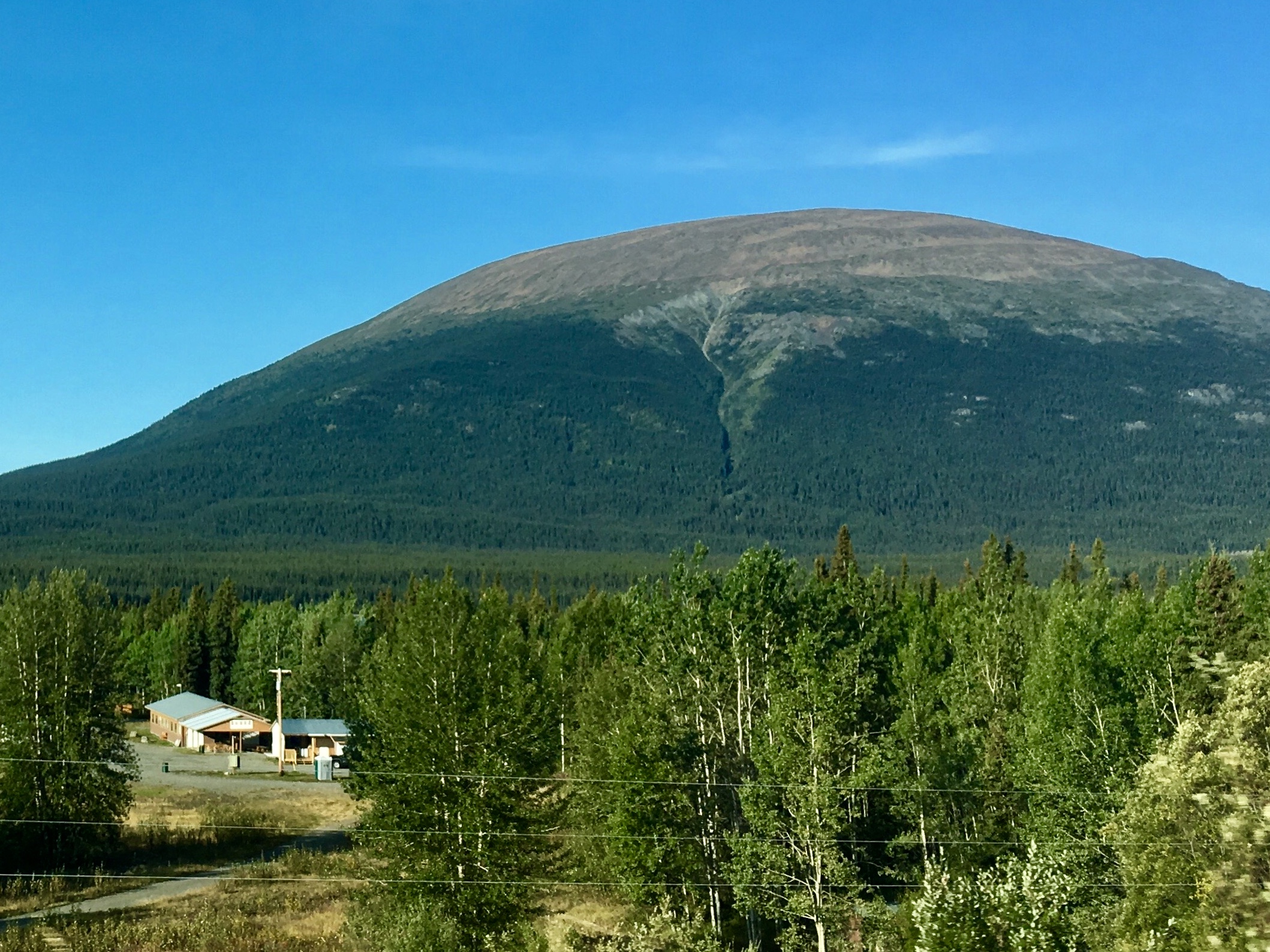
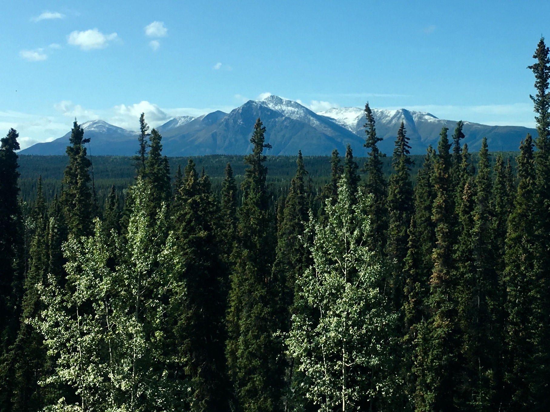
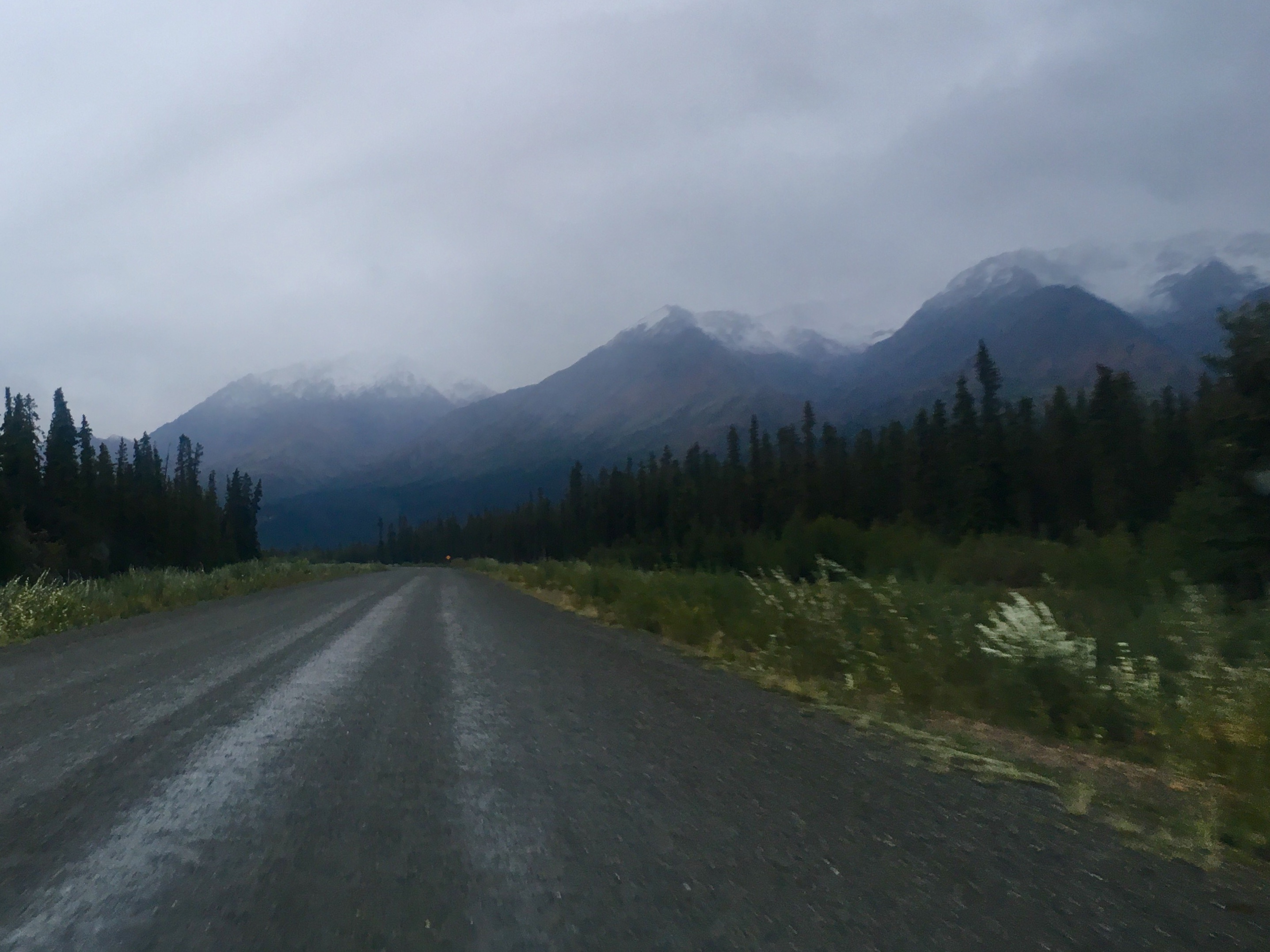
Snow capped mountains in August. Ominous!
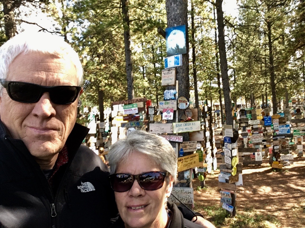
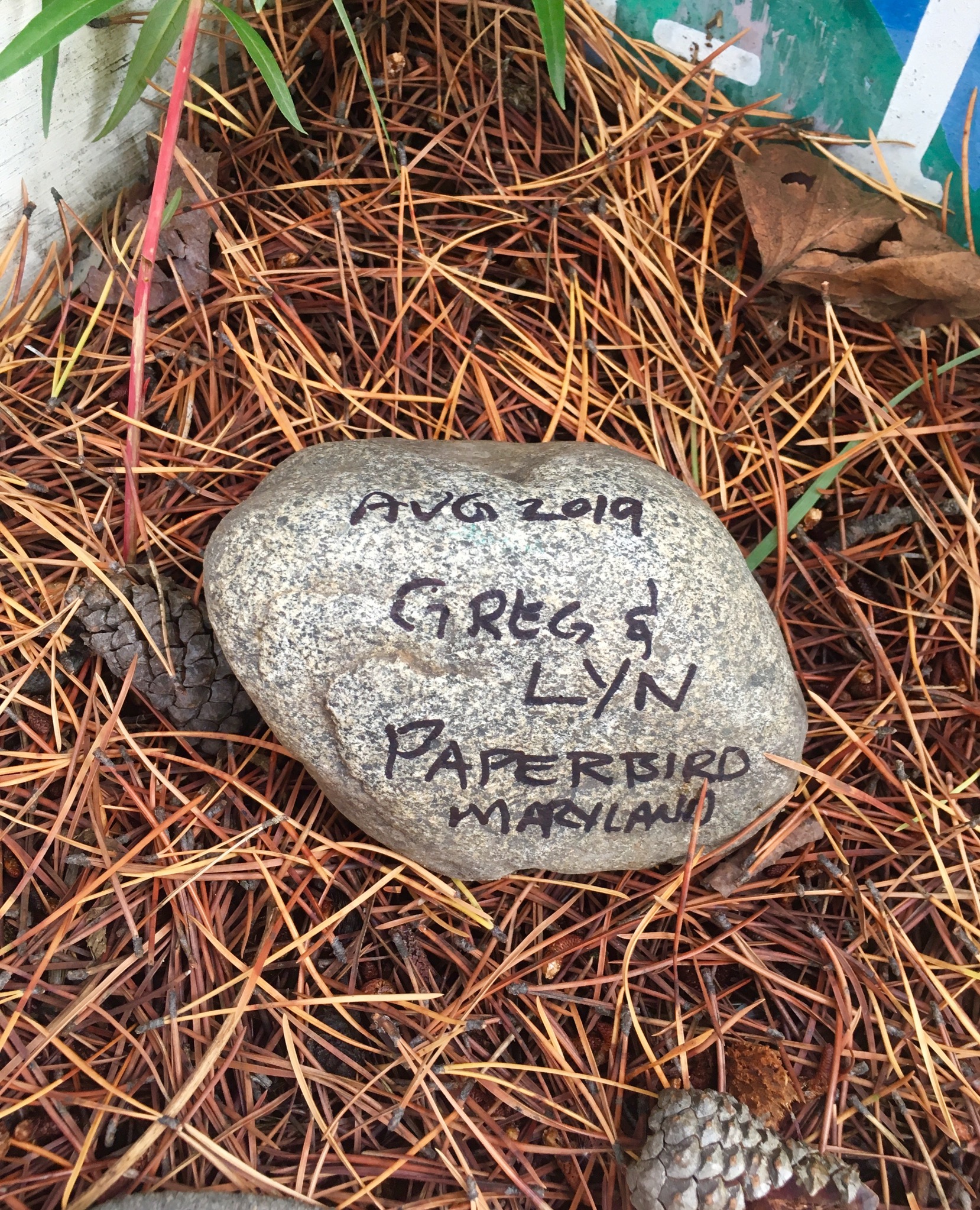
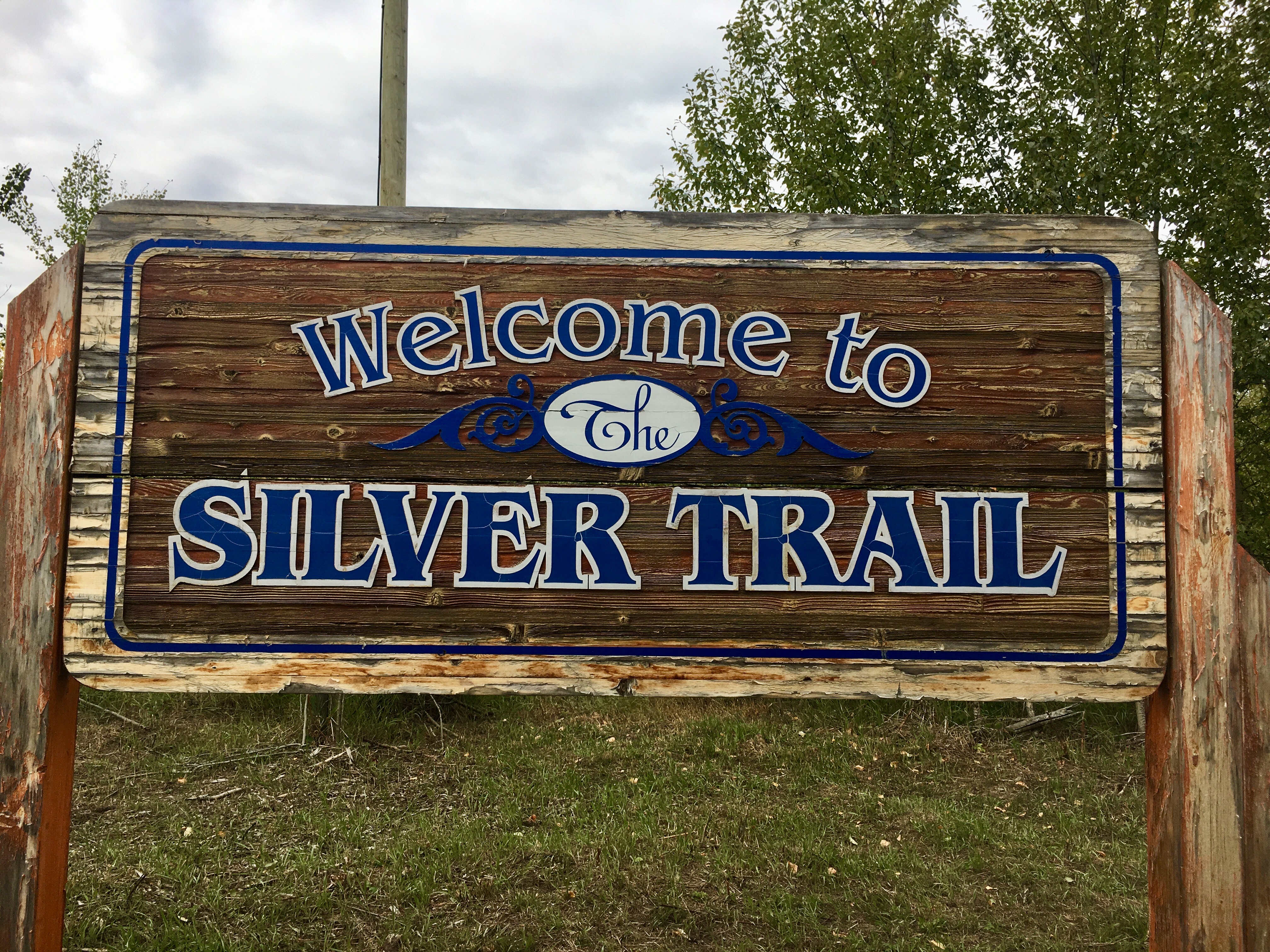
Our contribution to the sign collection. The story is that a military guy got bored and posted a sign with the name of his home town. Other military guys followed suit. The tradition stuck and people passing through to this day post their signs. Some were amazingly elaborate, some pretty simple.
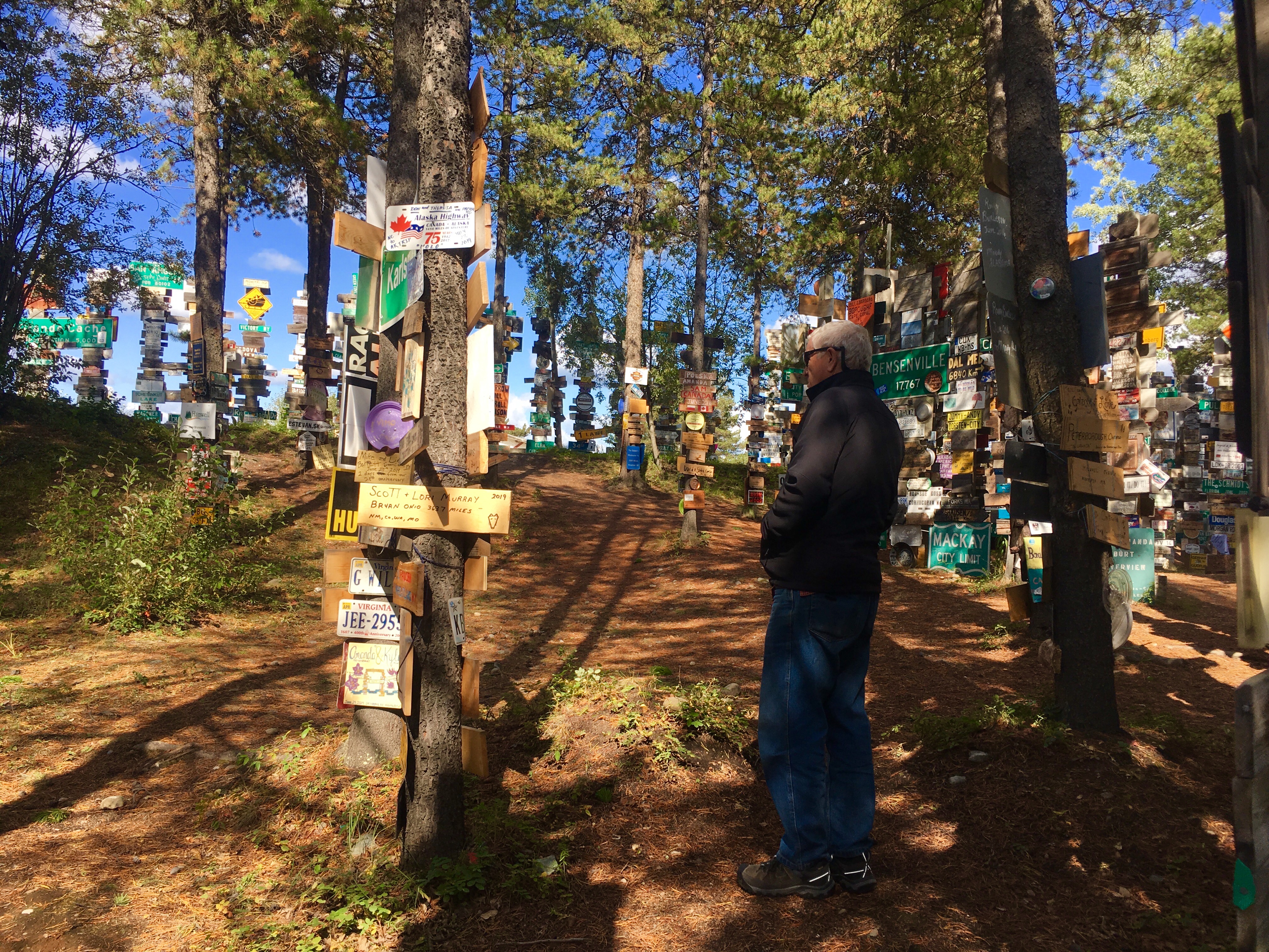

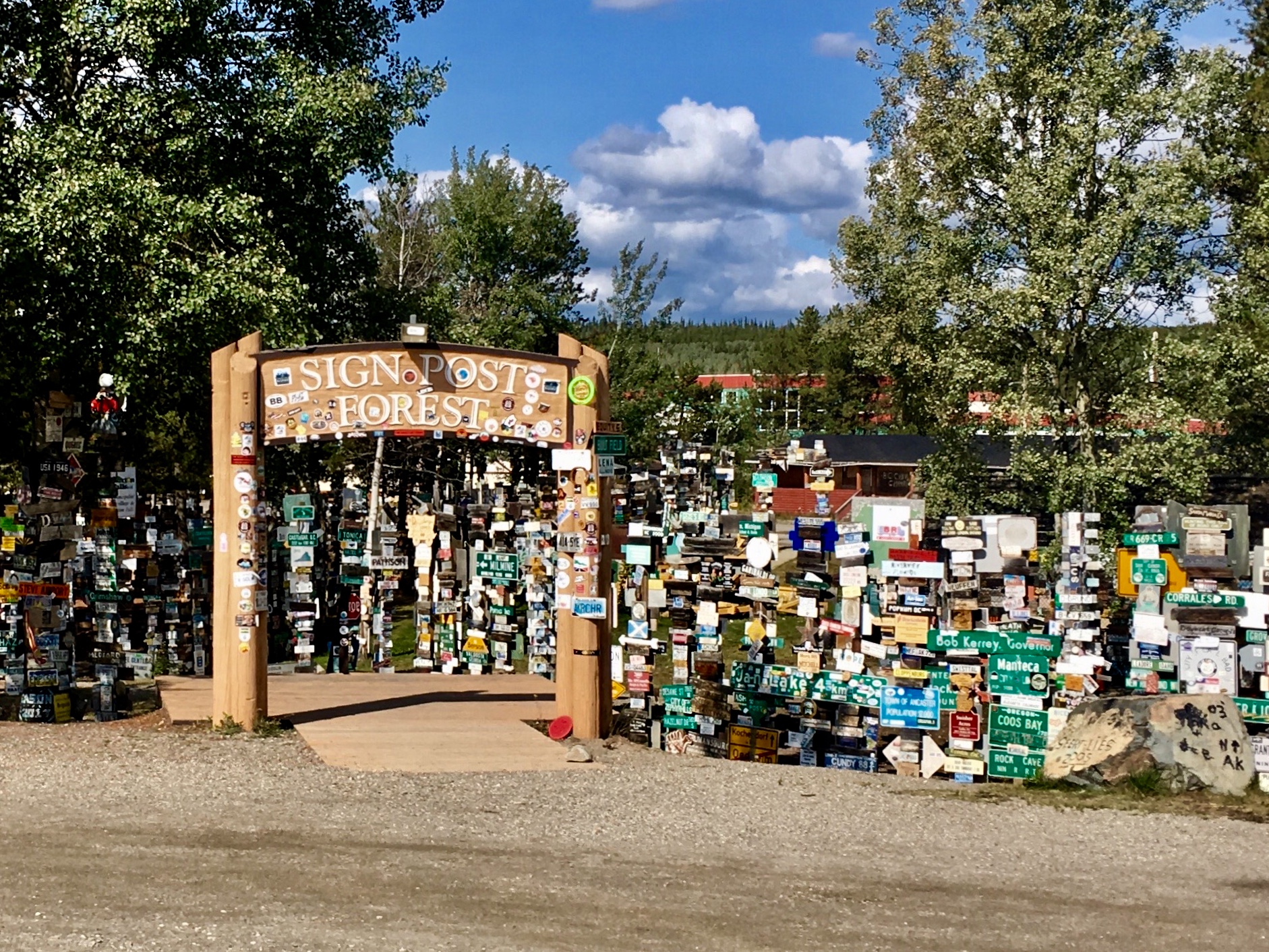
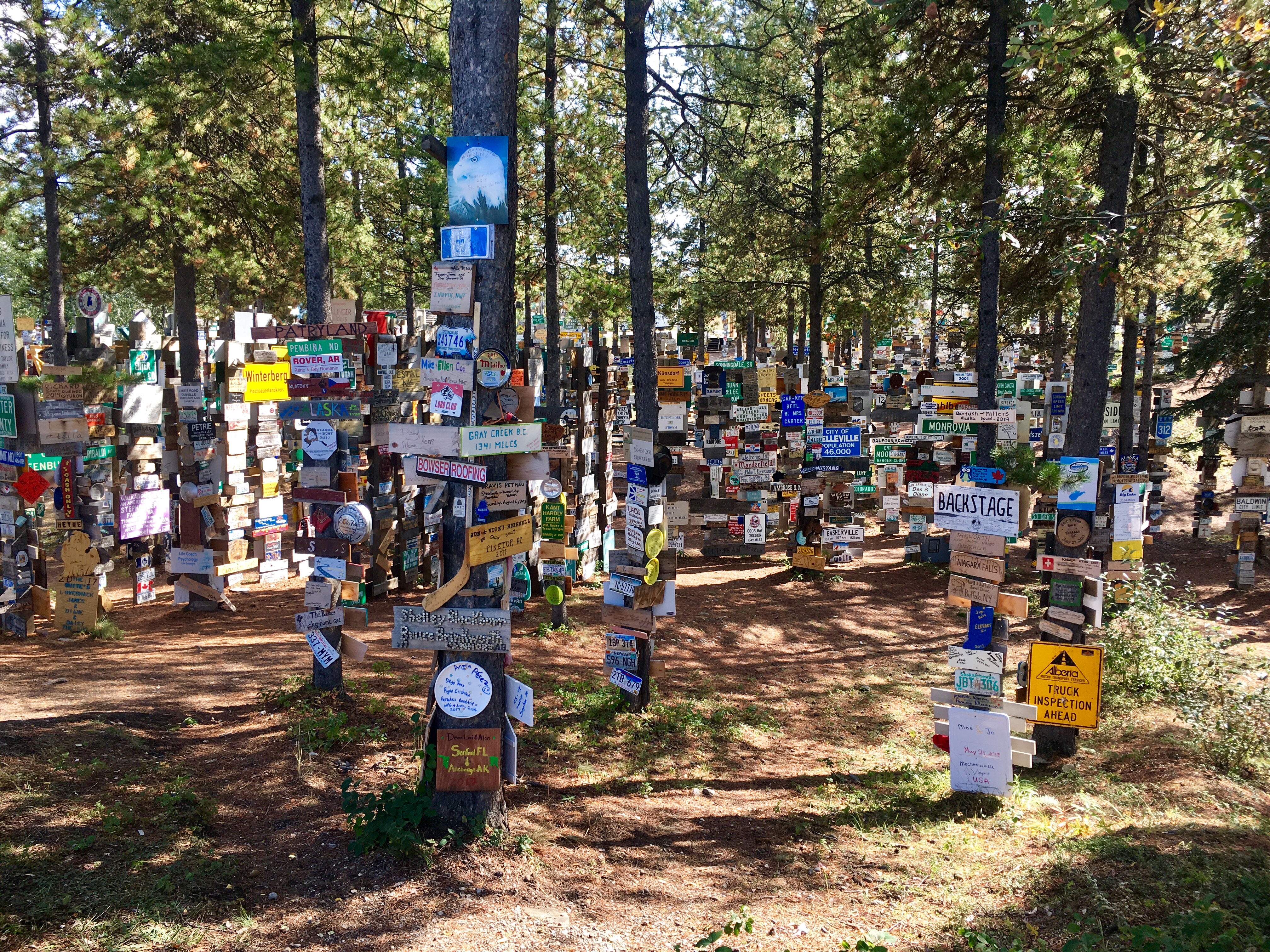
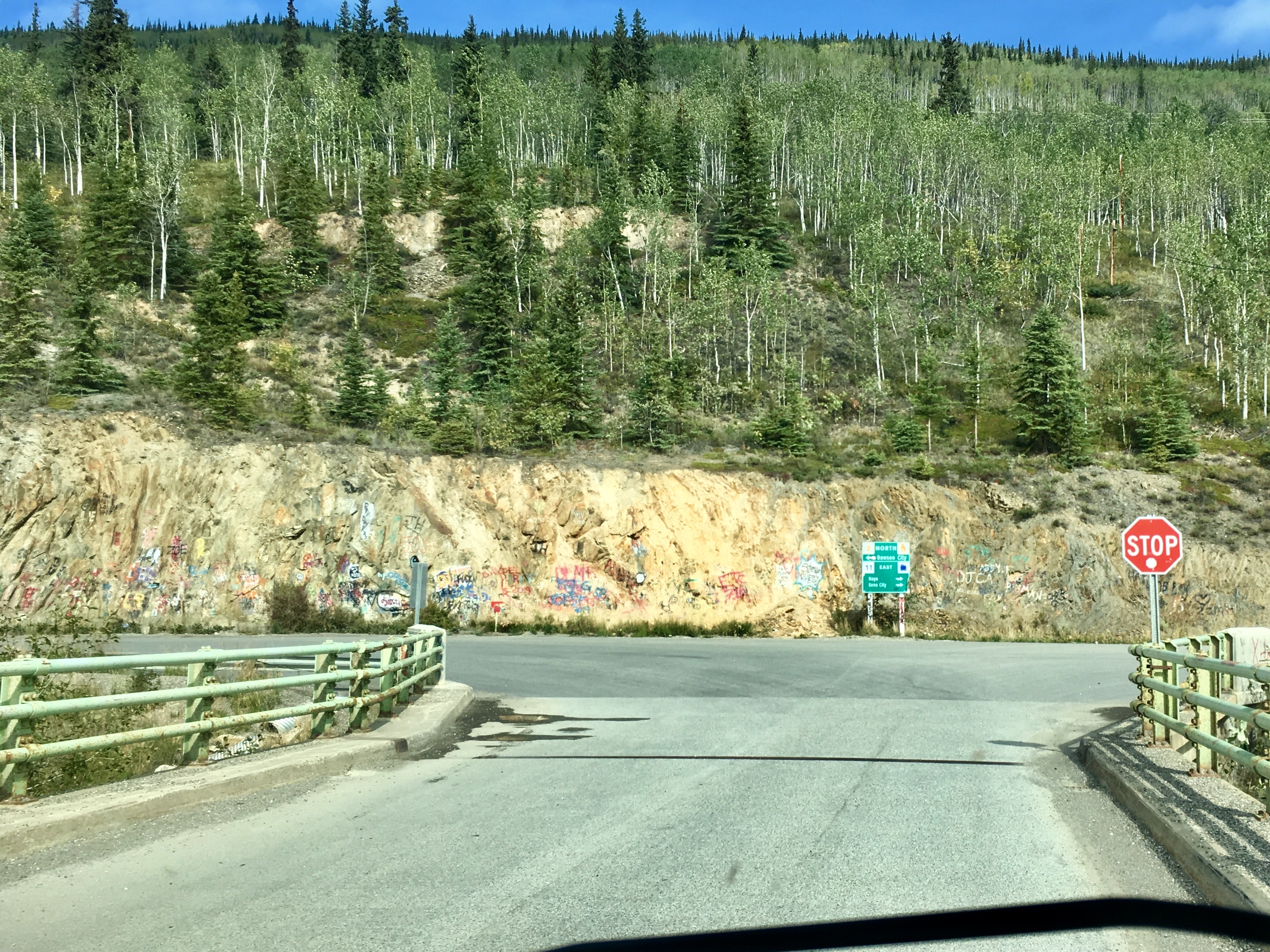
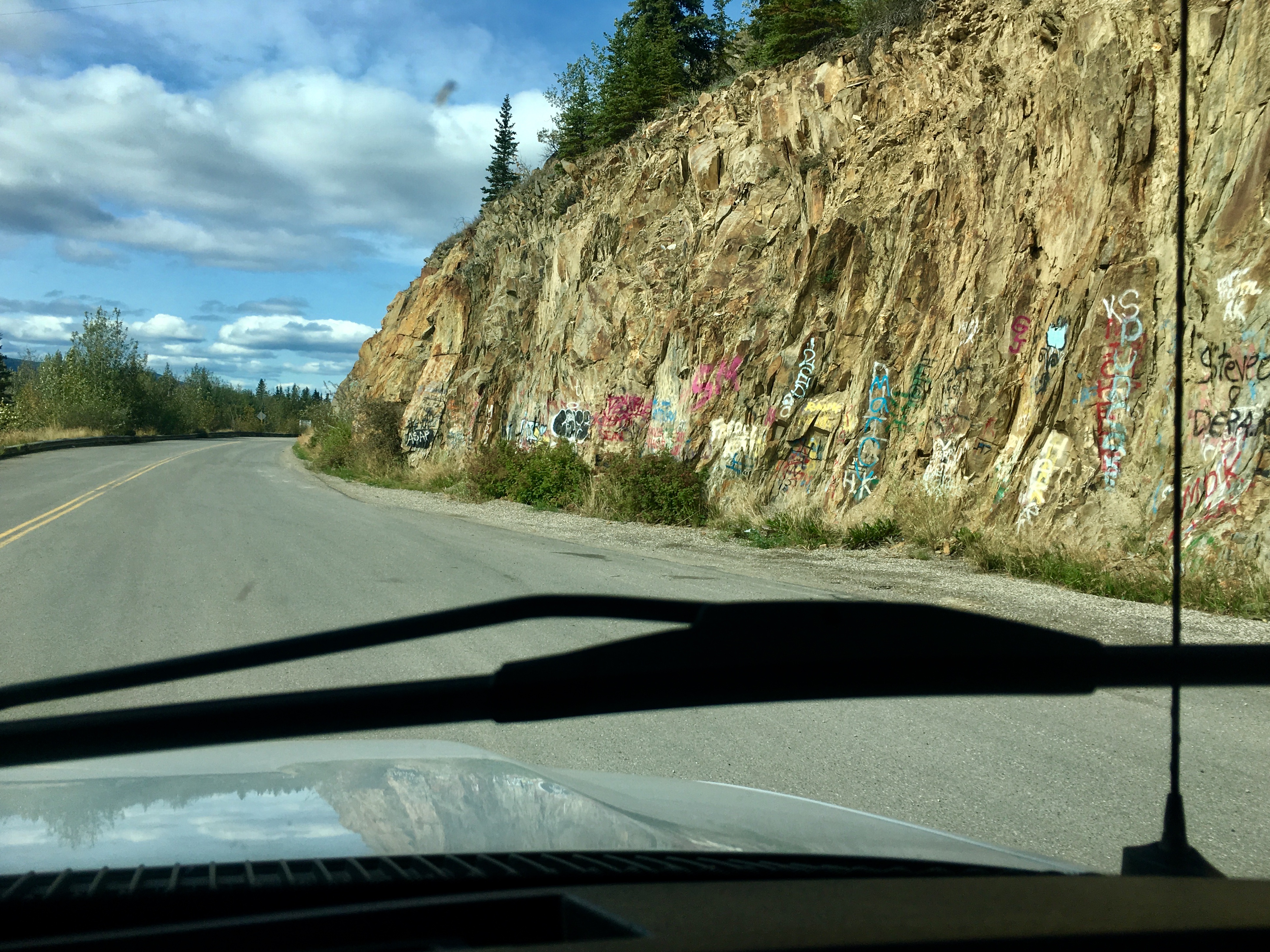
The lady in the local visitors center said that Watson Lake is home both to the largest sign forest and the largest collection of un-prosecuted contraband. Turns out that many of the signs have been liberated from their original homes. We saw town signs, road signs, license plates, and quite a few business signs.

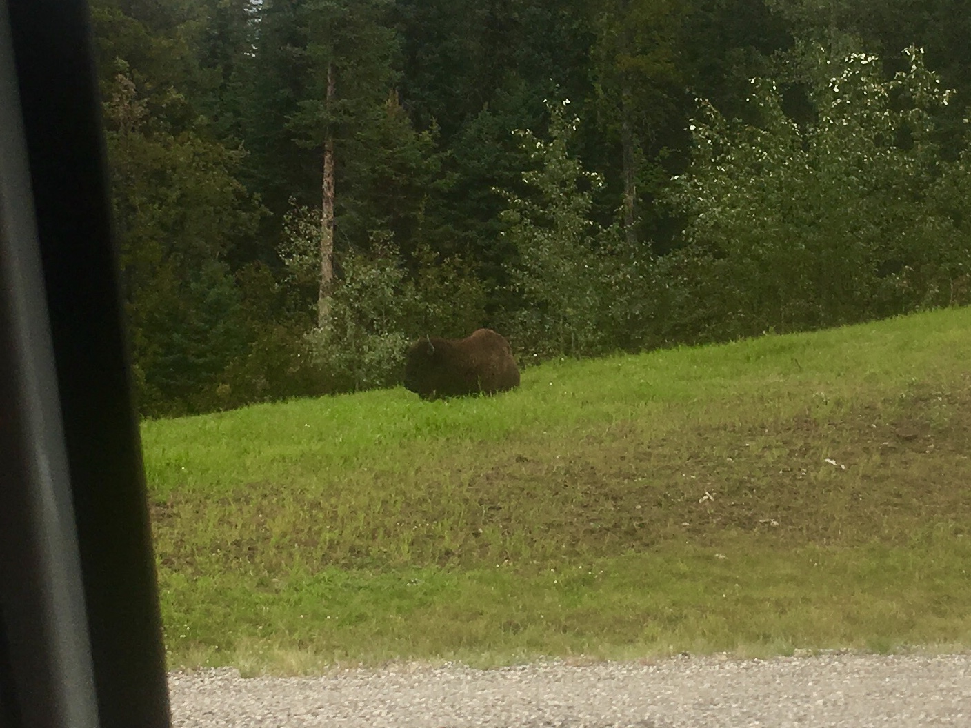
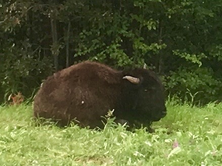
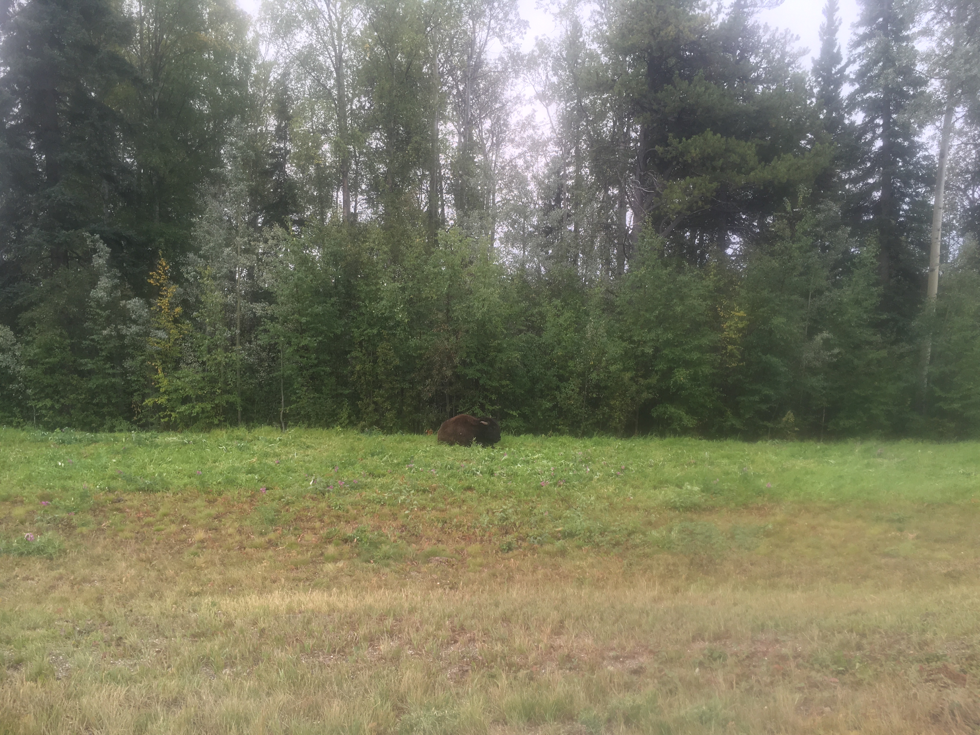
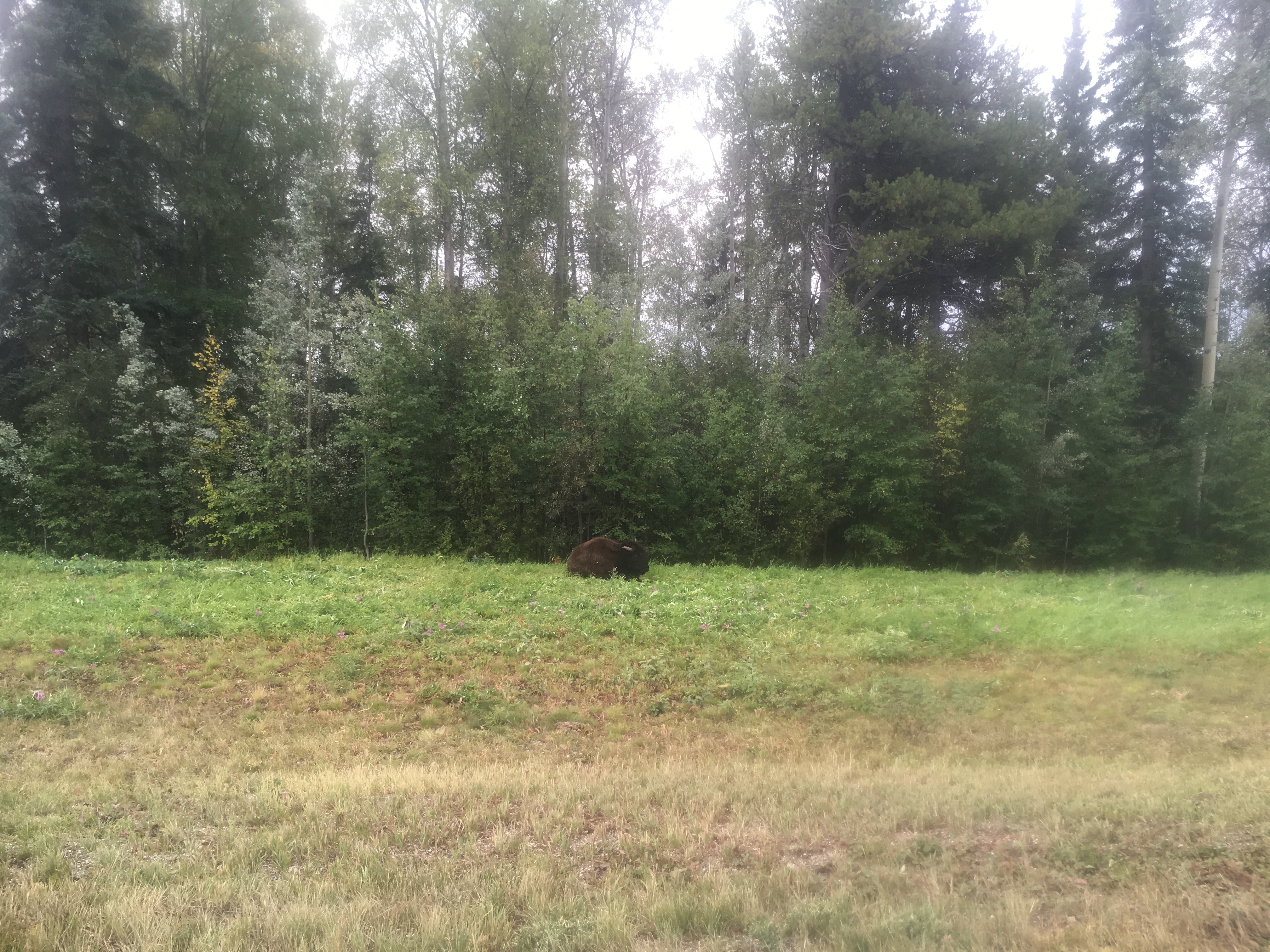
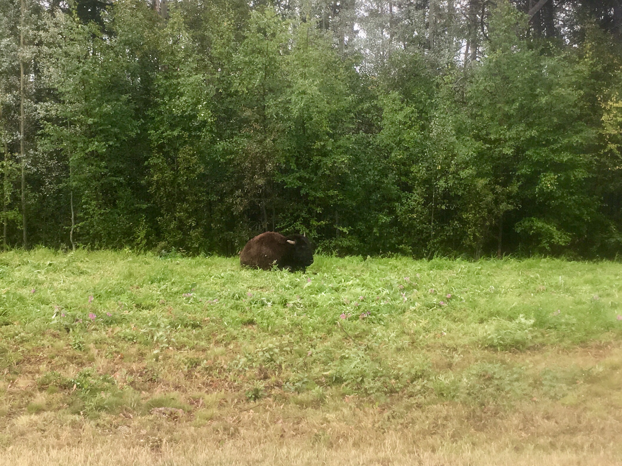
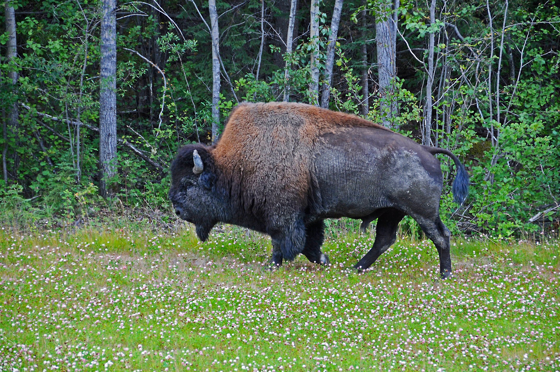
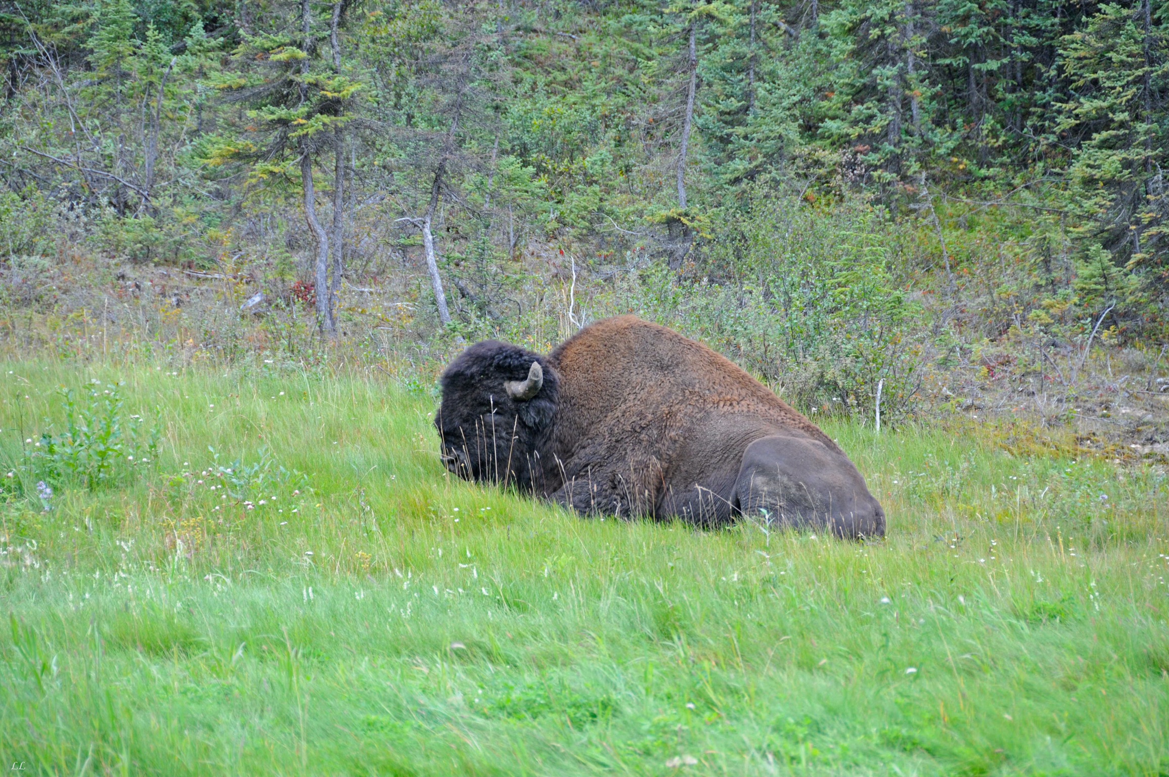
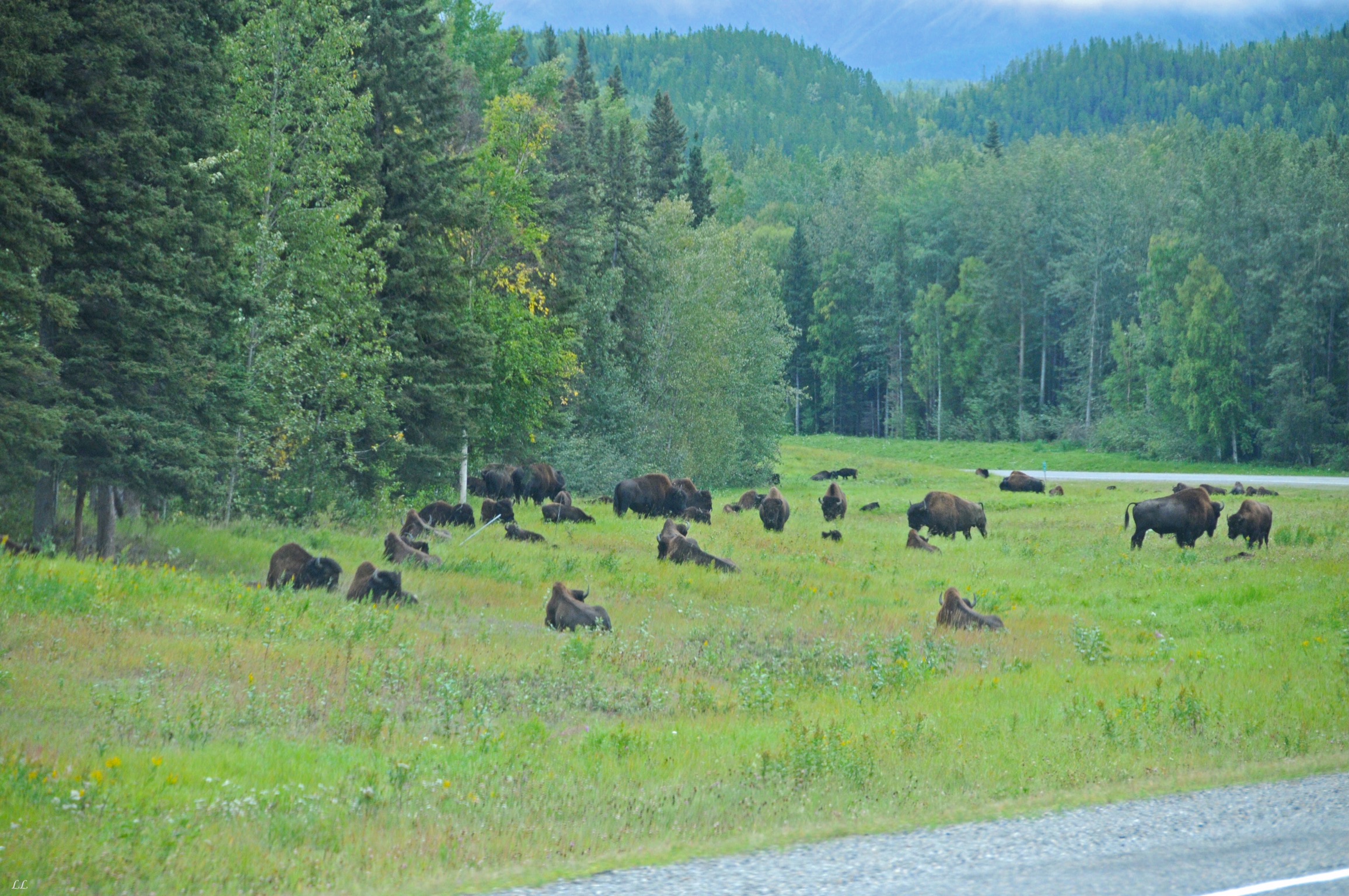
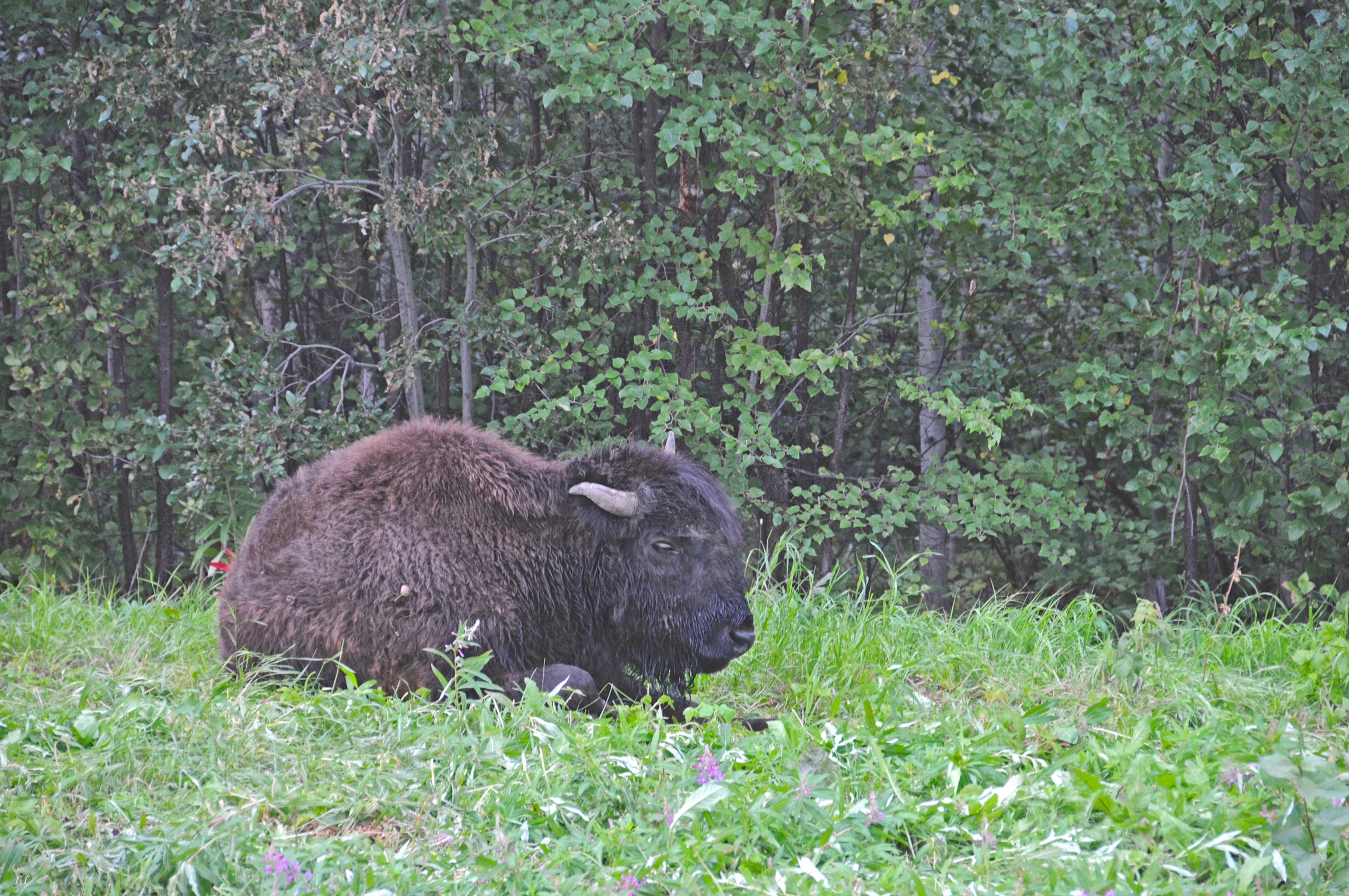
Liard is where we found the bison. (or buffalo?) Turns out that the correct name is bison. Buffalo are found in Asia and Africa, although the names are used interchangeably.

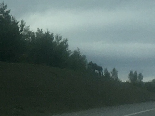
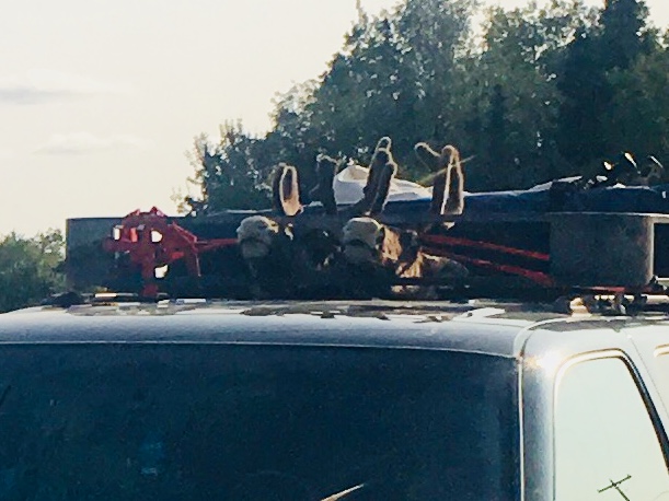
Moose!
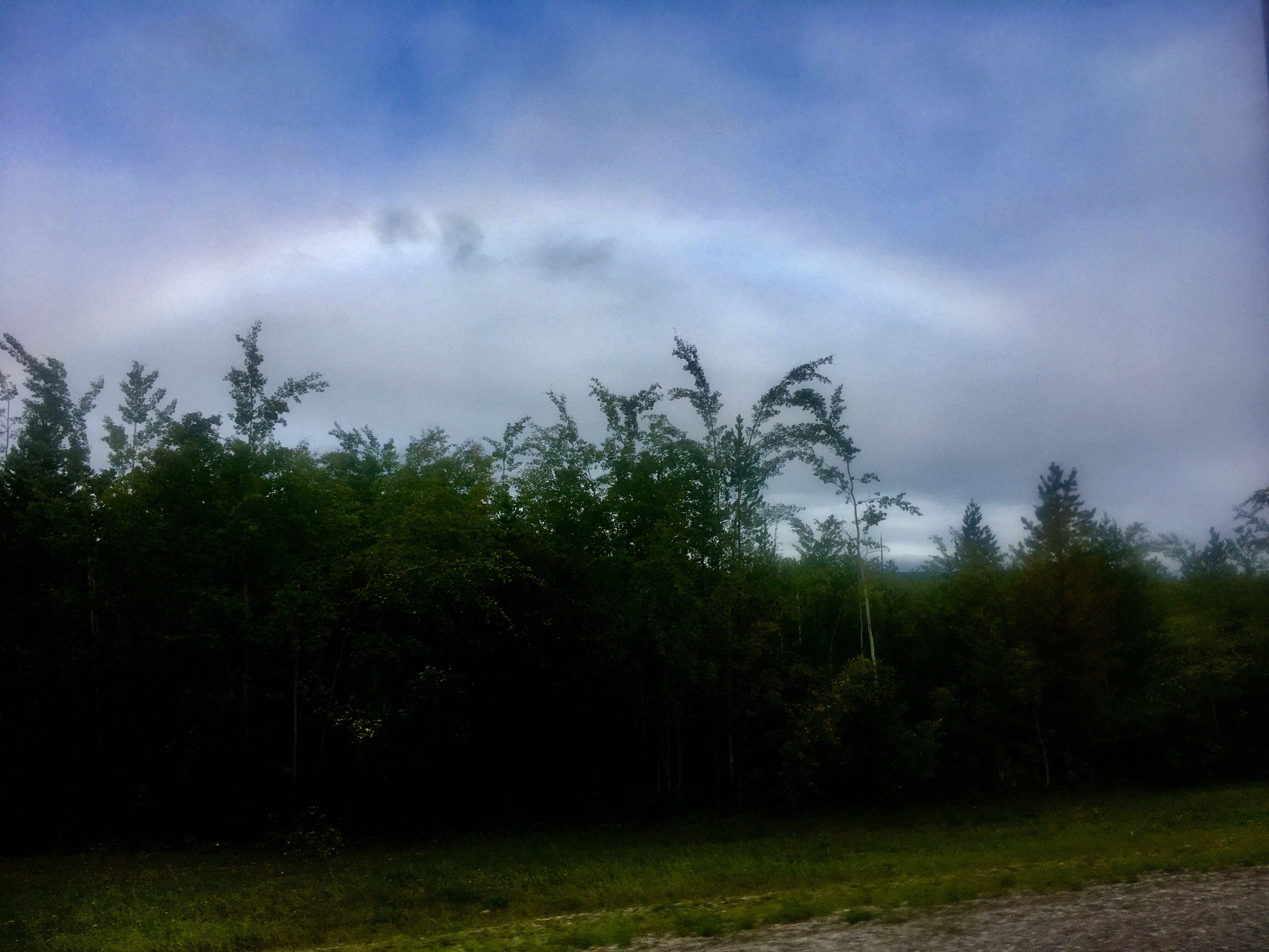
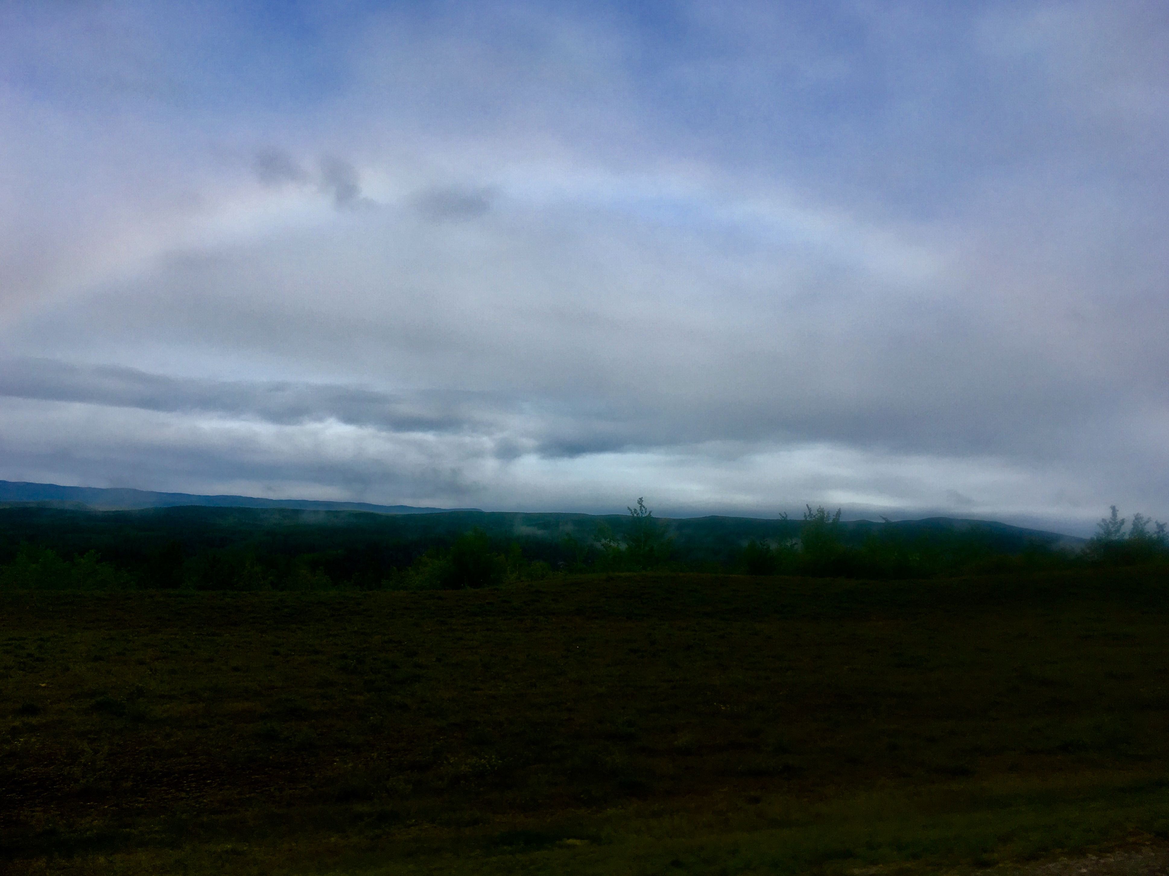
A fog bow. No color and not cold enough (we think) to be an ice bow. And it was foggy that day.
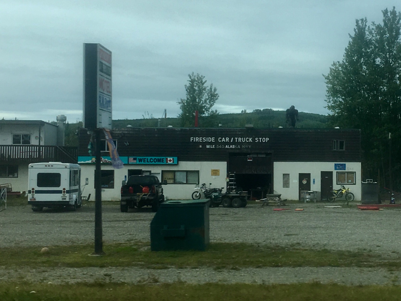
Fireside. During the Alaska highway construction, fires were kept burning pretty much continuously to provide a place to warm up.
One of the more interesting tow-behinds we saw. No reason to leave any of the toys at home, I guess.
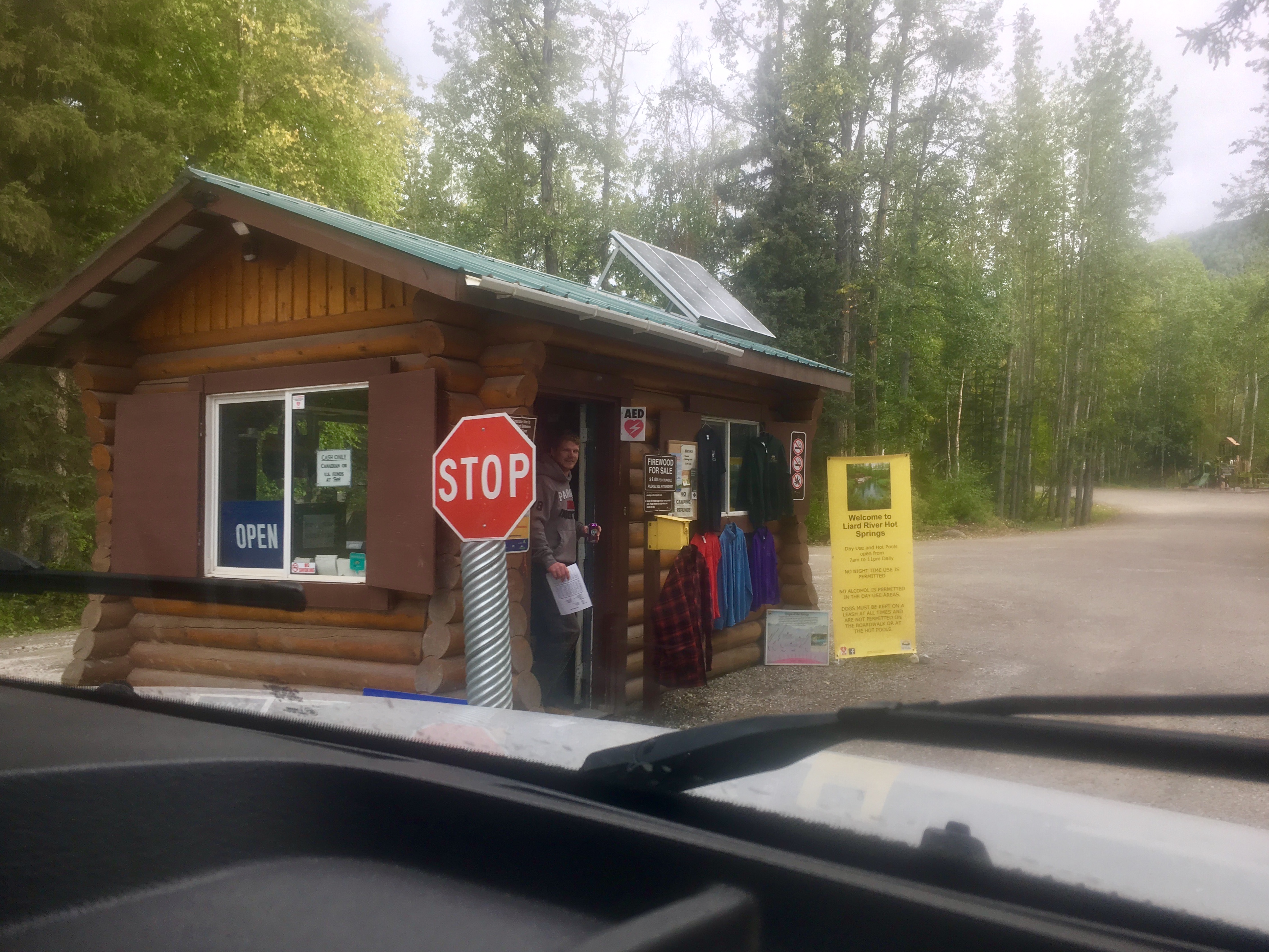
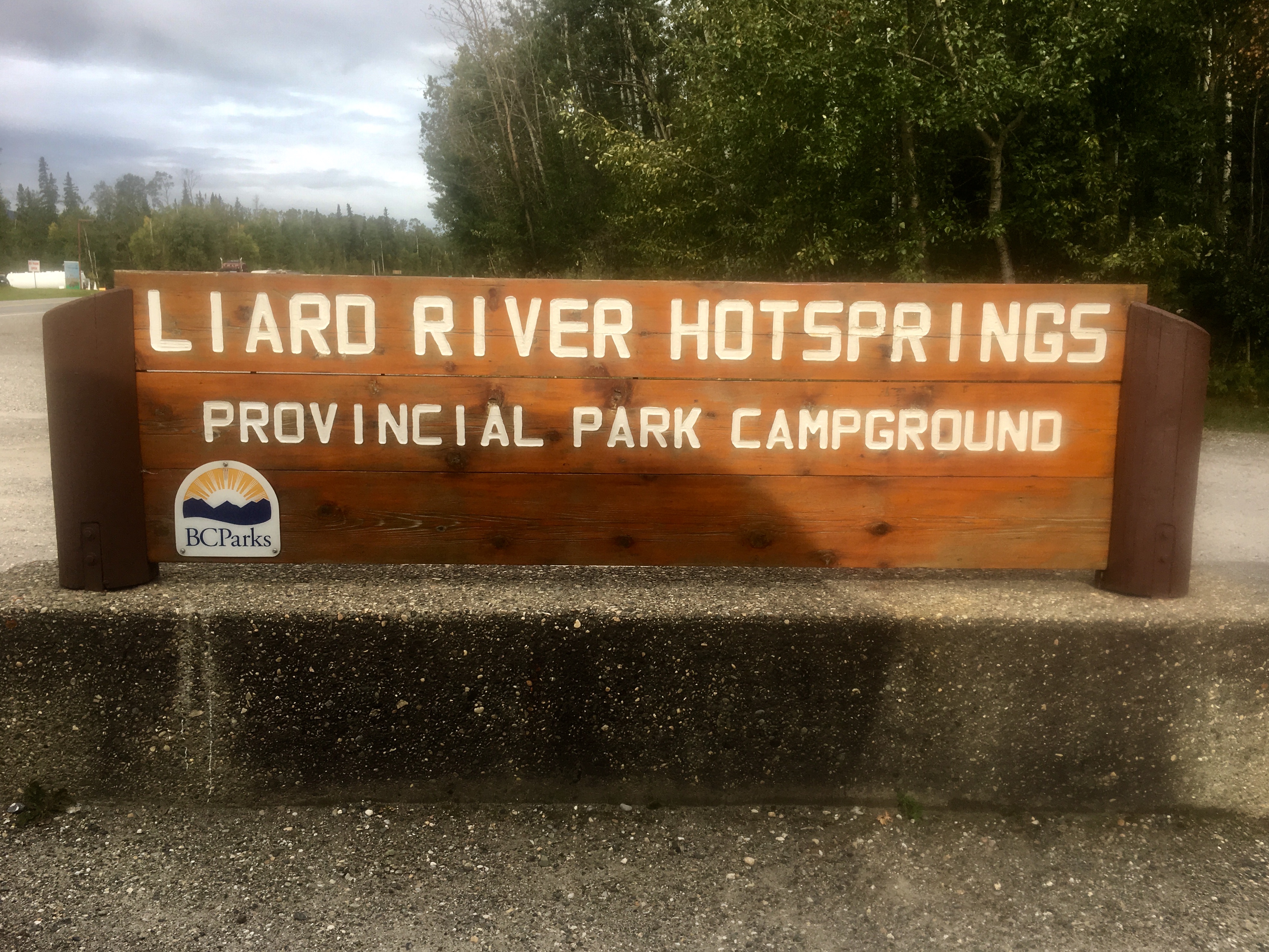
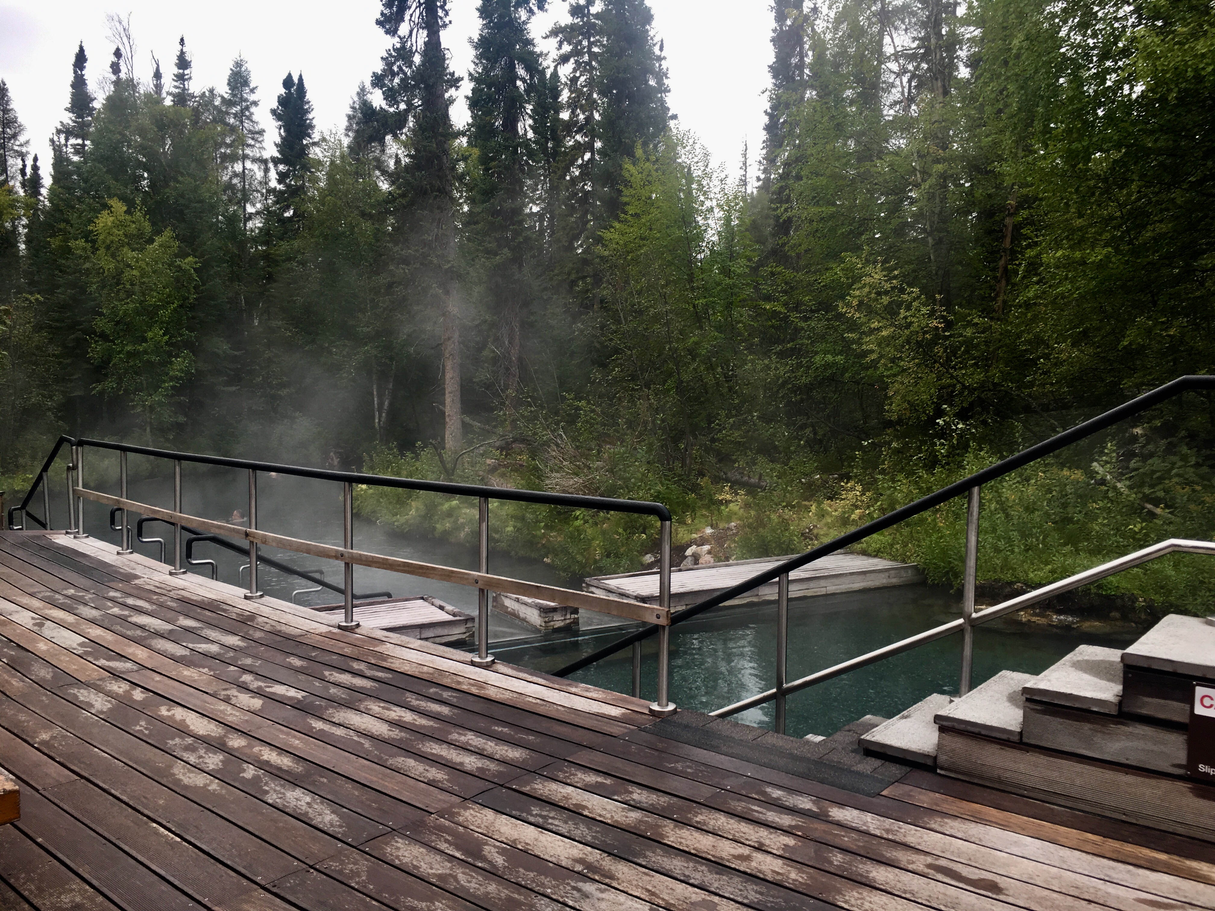
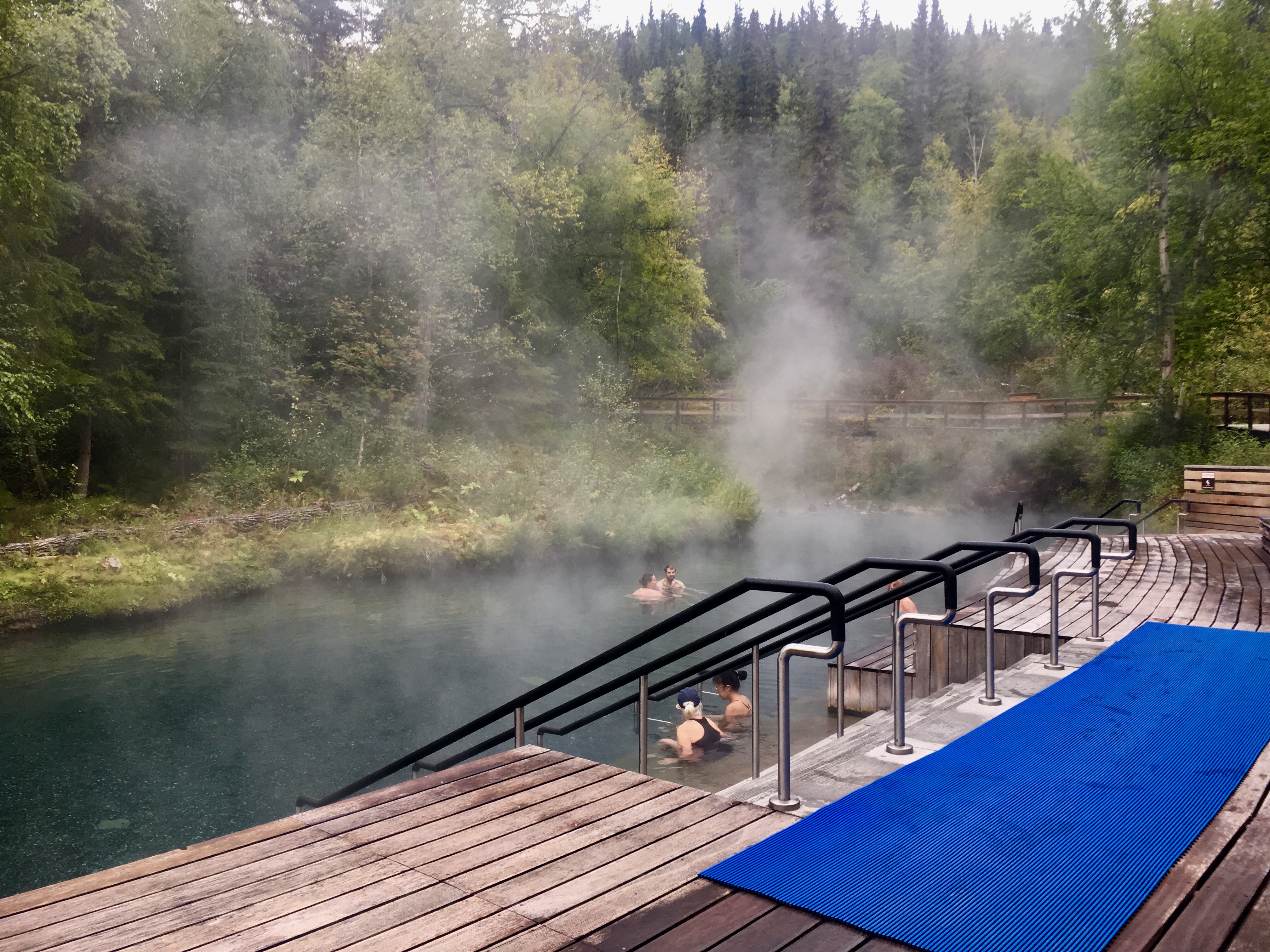
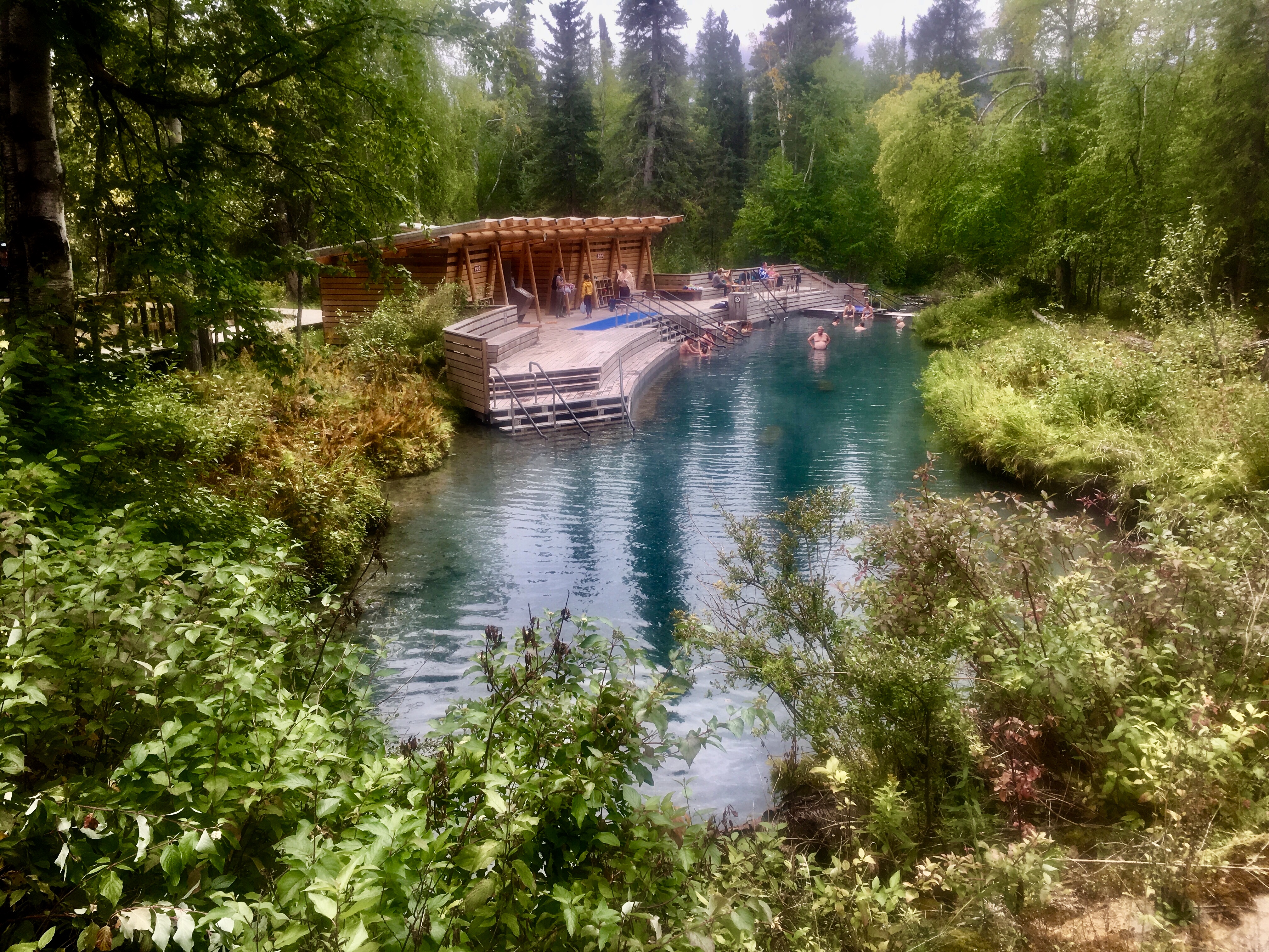
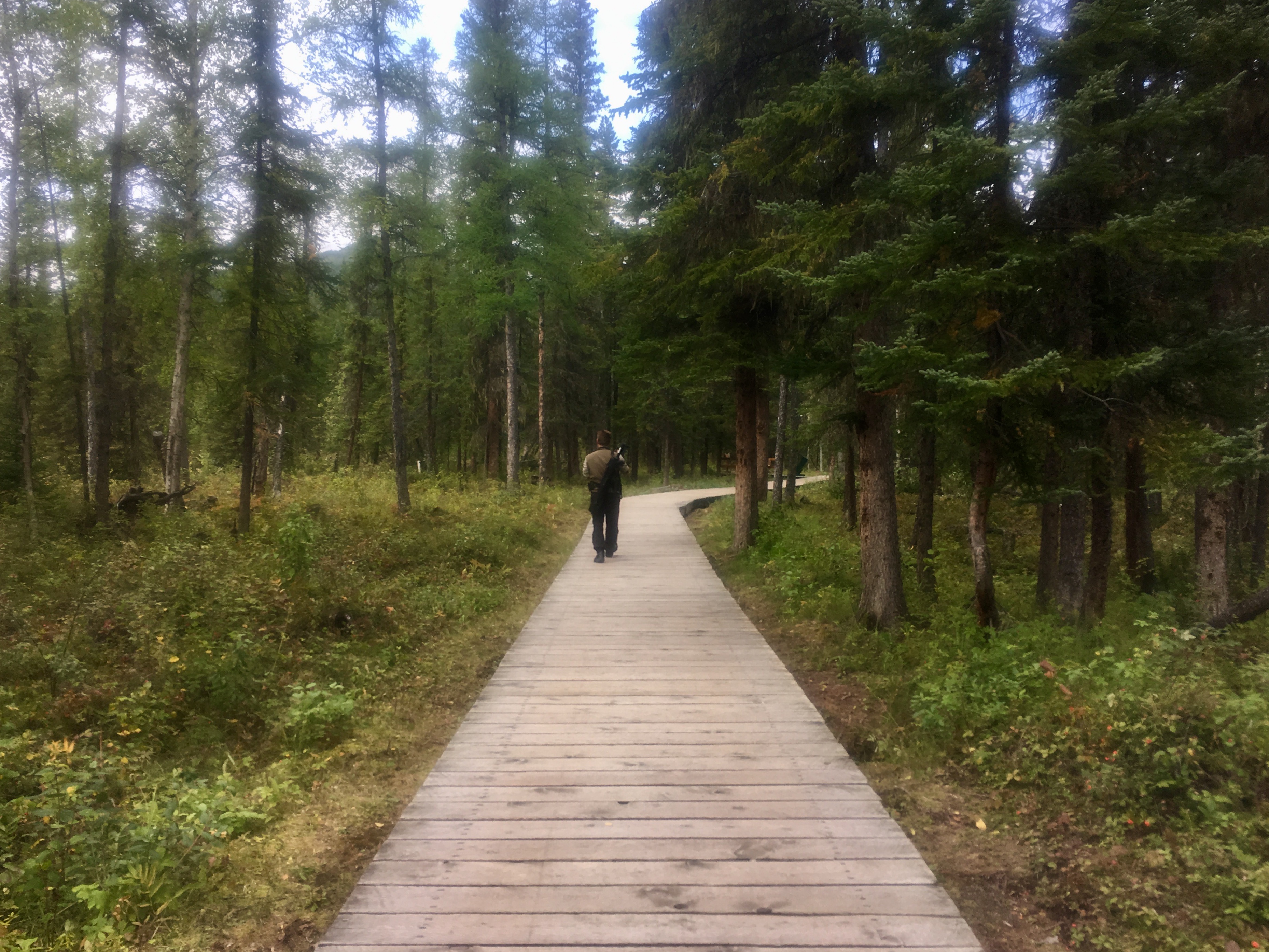
The 3rd of the hot springs we visited, and probably our favorite.
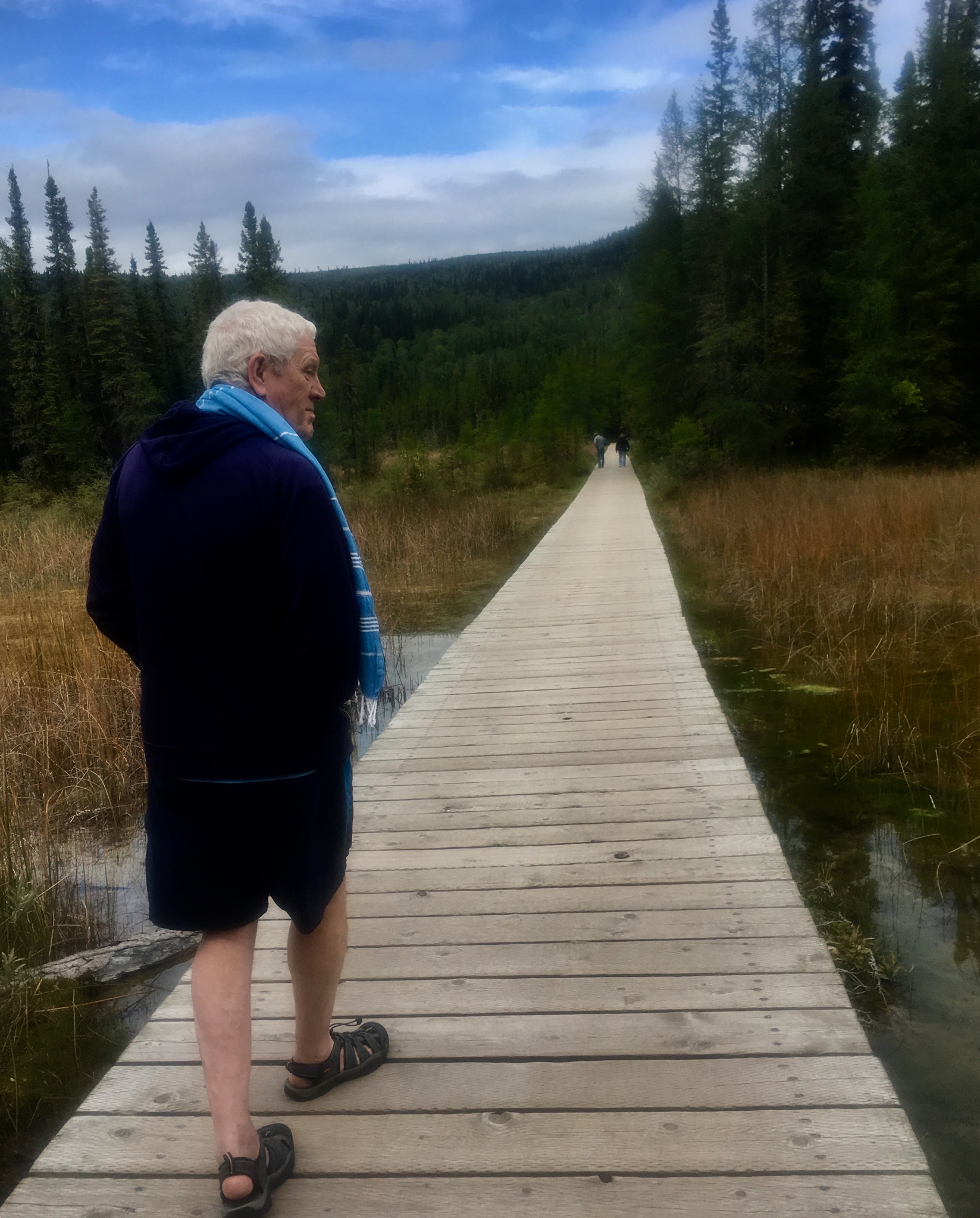
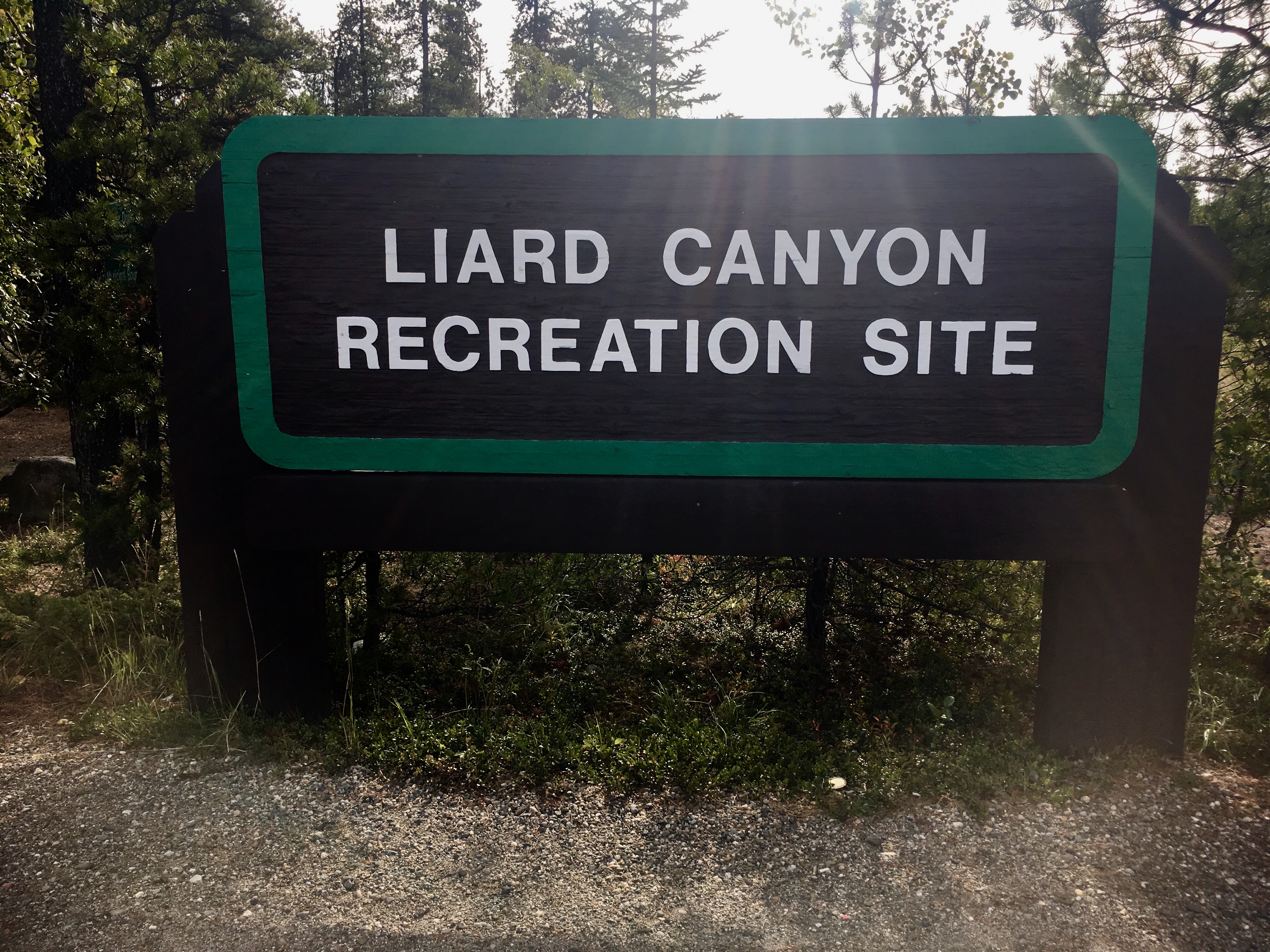
It was about a 10 minute walk along a boardwalk through the forest to get to the hot springs. Liard was the most natural setting of the hot springs. The springs are actually just a wide spot in the river. The water backs up as it flows down the hill, making a natural, and very hot pool. The hot springs were very popular with soldiers building the Alaska highway. After a day of road building in the winter weather, the springs must have felt wonderful! It sure felt wonderful to us!
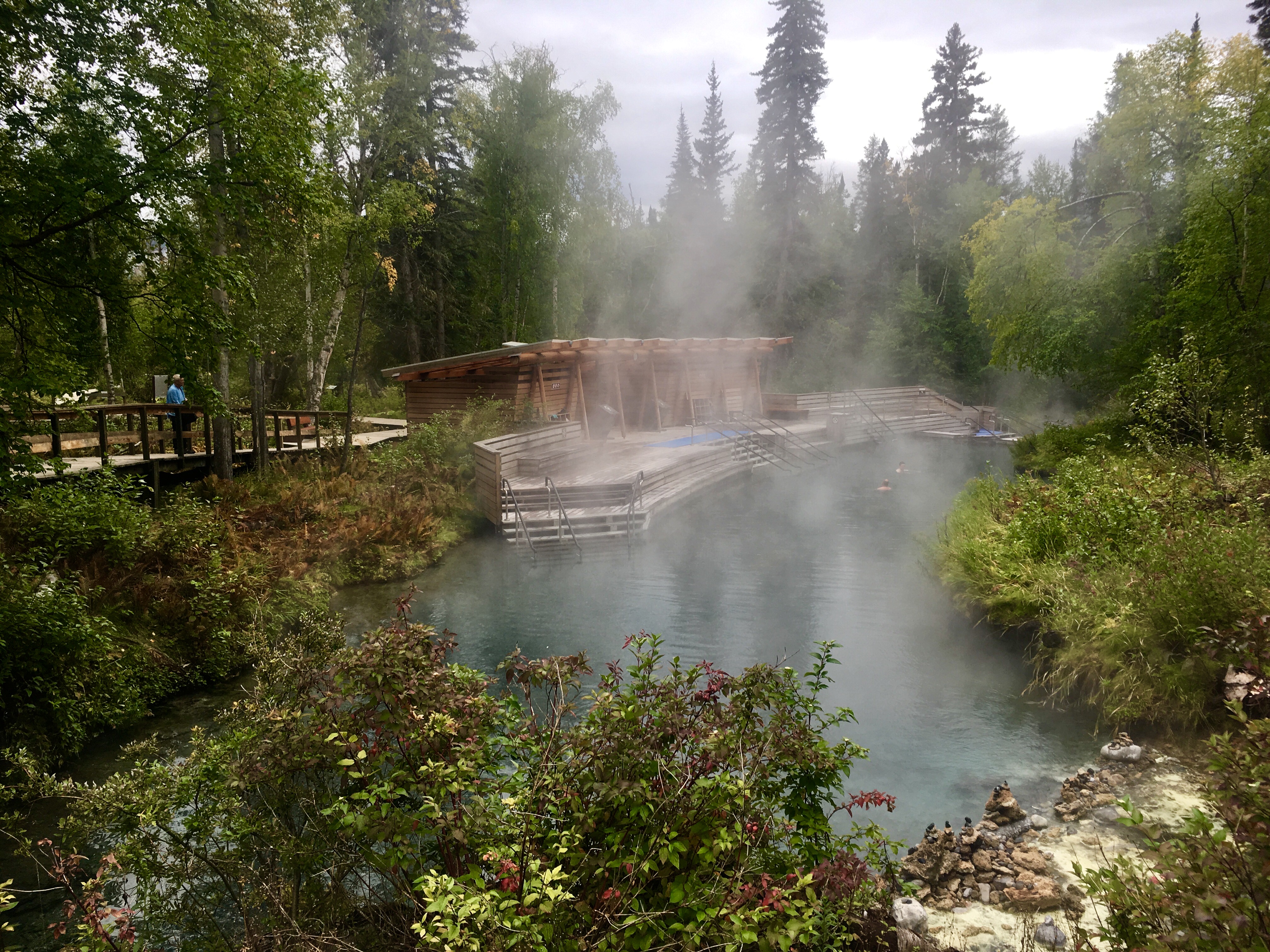
Early morning mist at the hot springs. Worth the chilly walk!

Given the location of the springs, we wondered about bears. Sure enough, a brown bear showed up and the local park rangers chased it off with “bear bangers,” shotgun shells with no pellets. There was no move to close the springs to bathing, making us wonder how the bears felt about sharing their bathtub with humans.

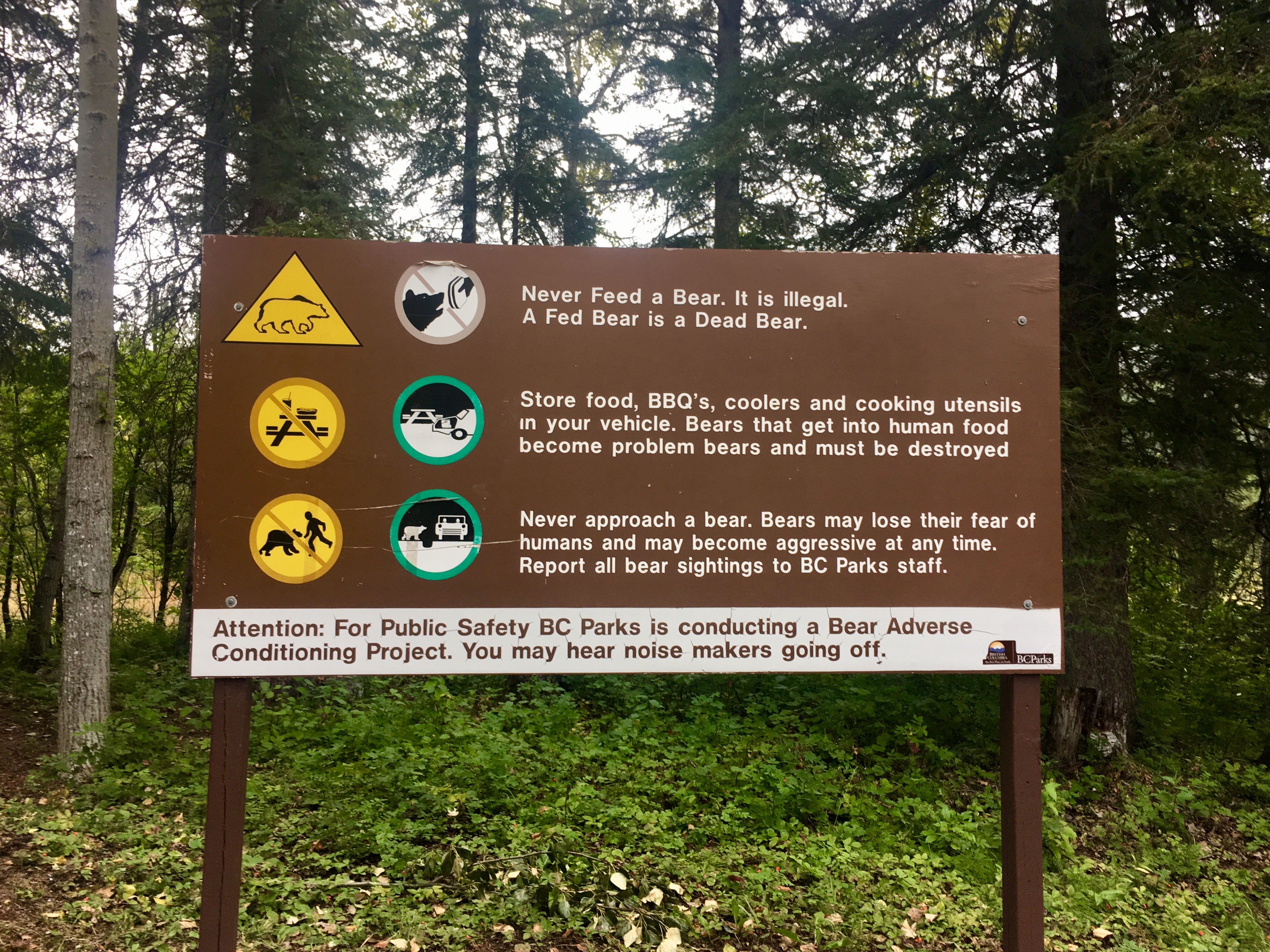
More bear education signs.
Bison are huge and amazing creatures. But slow. No wonder they were hunted almost to extinction.
But if not…
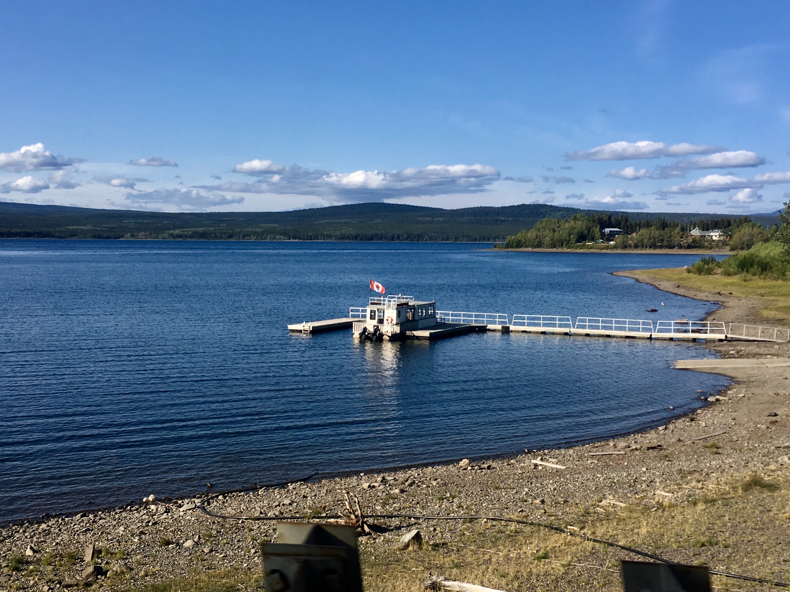
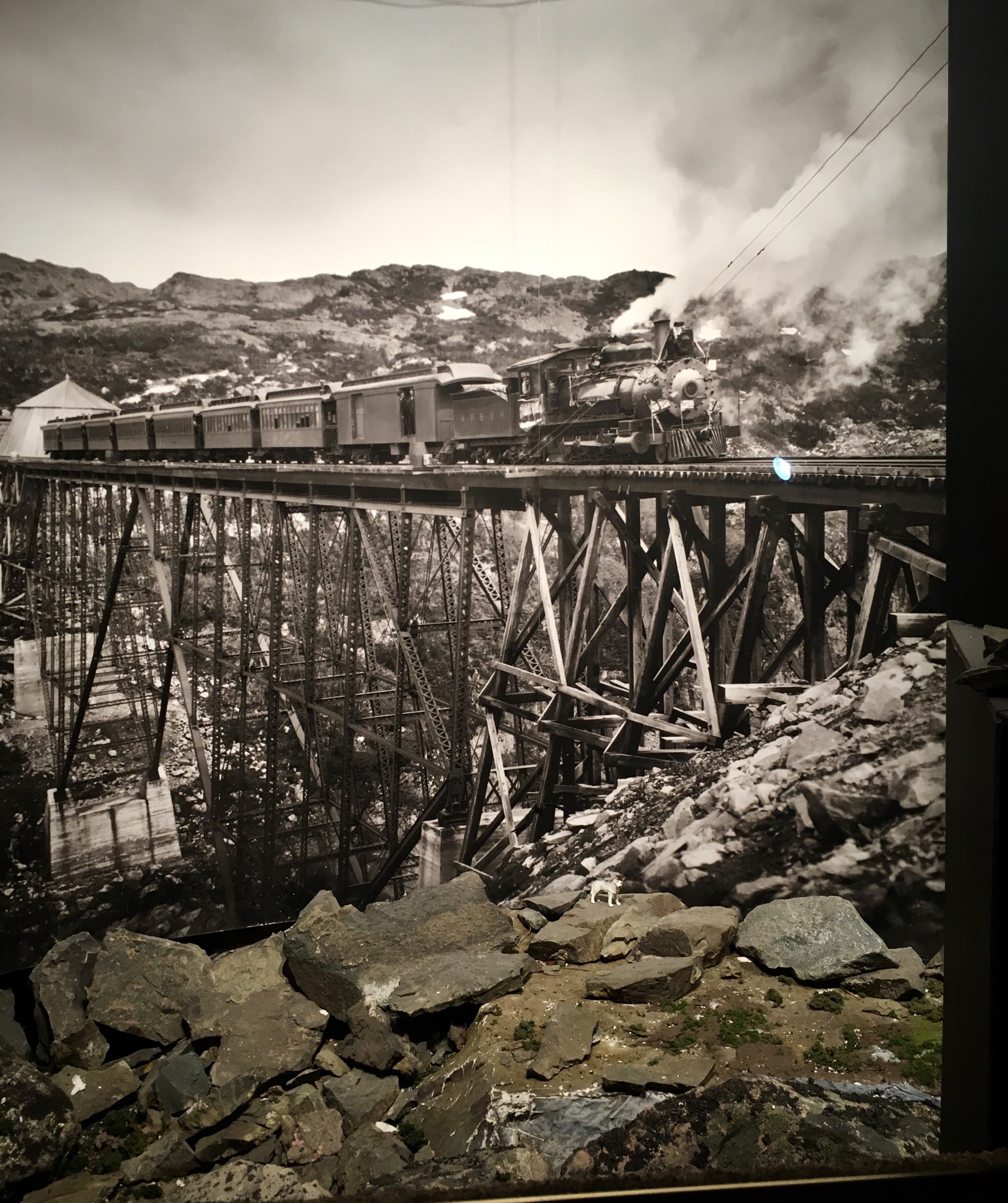
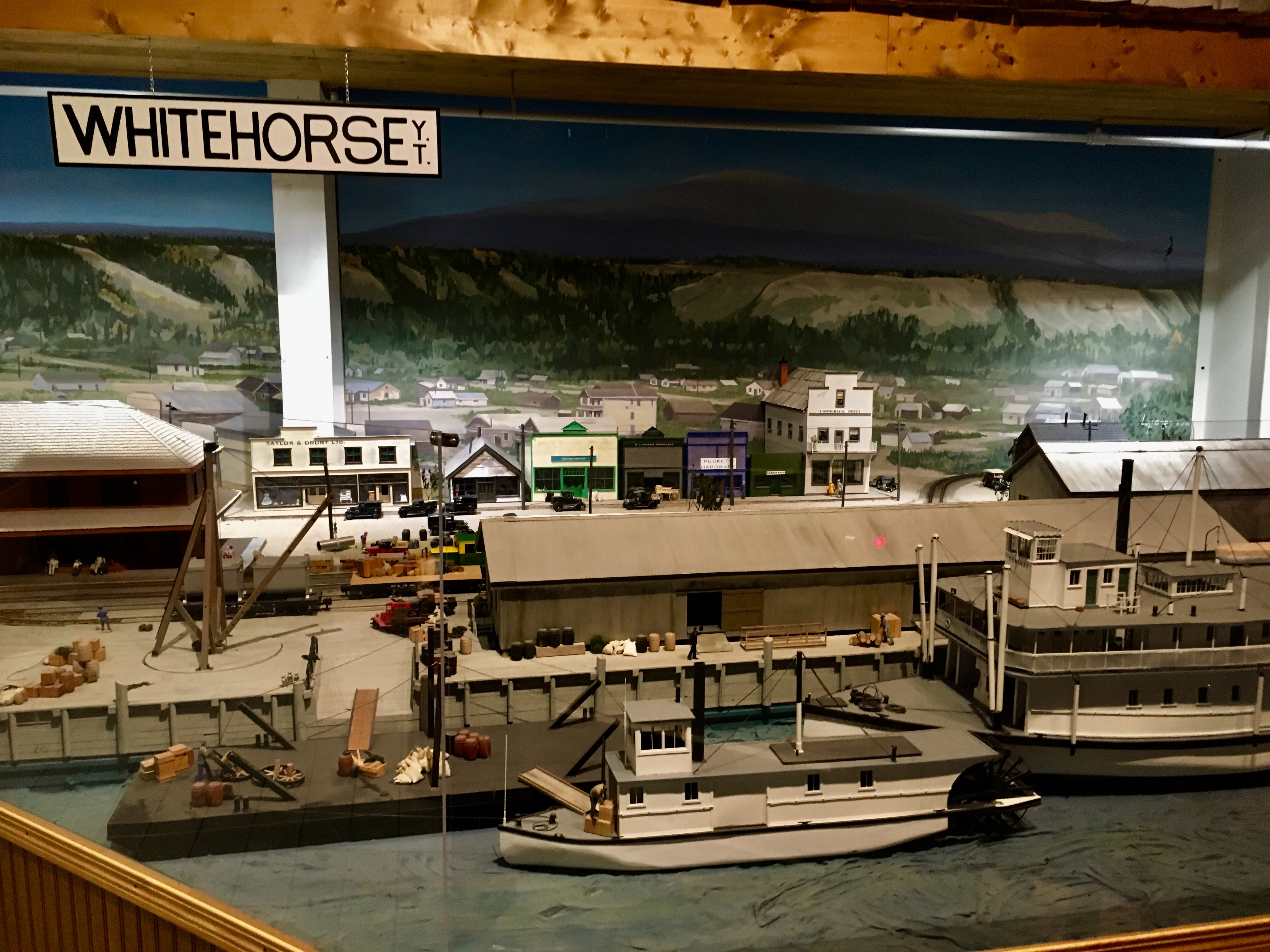
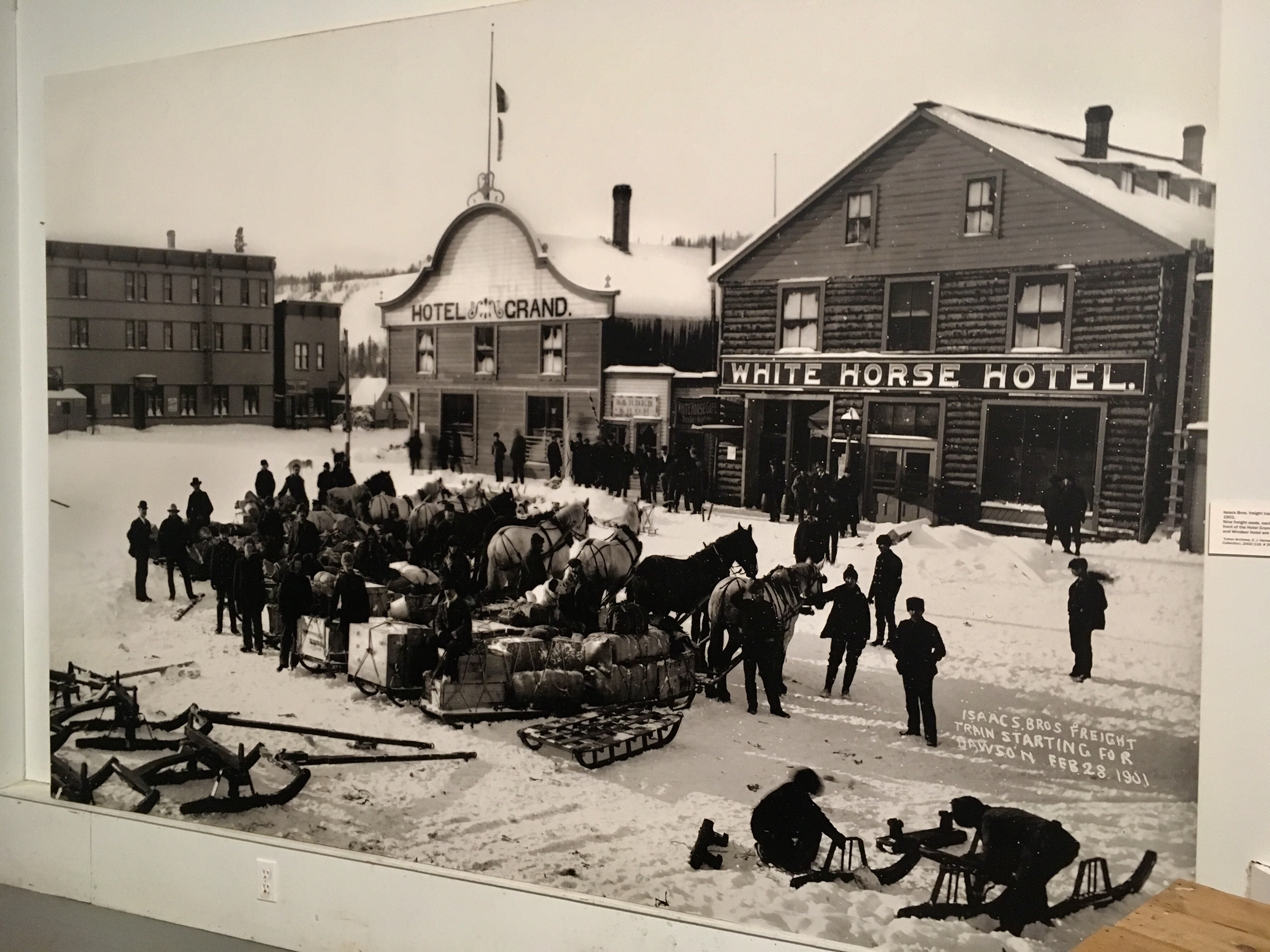
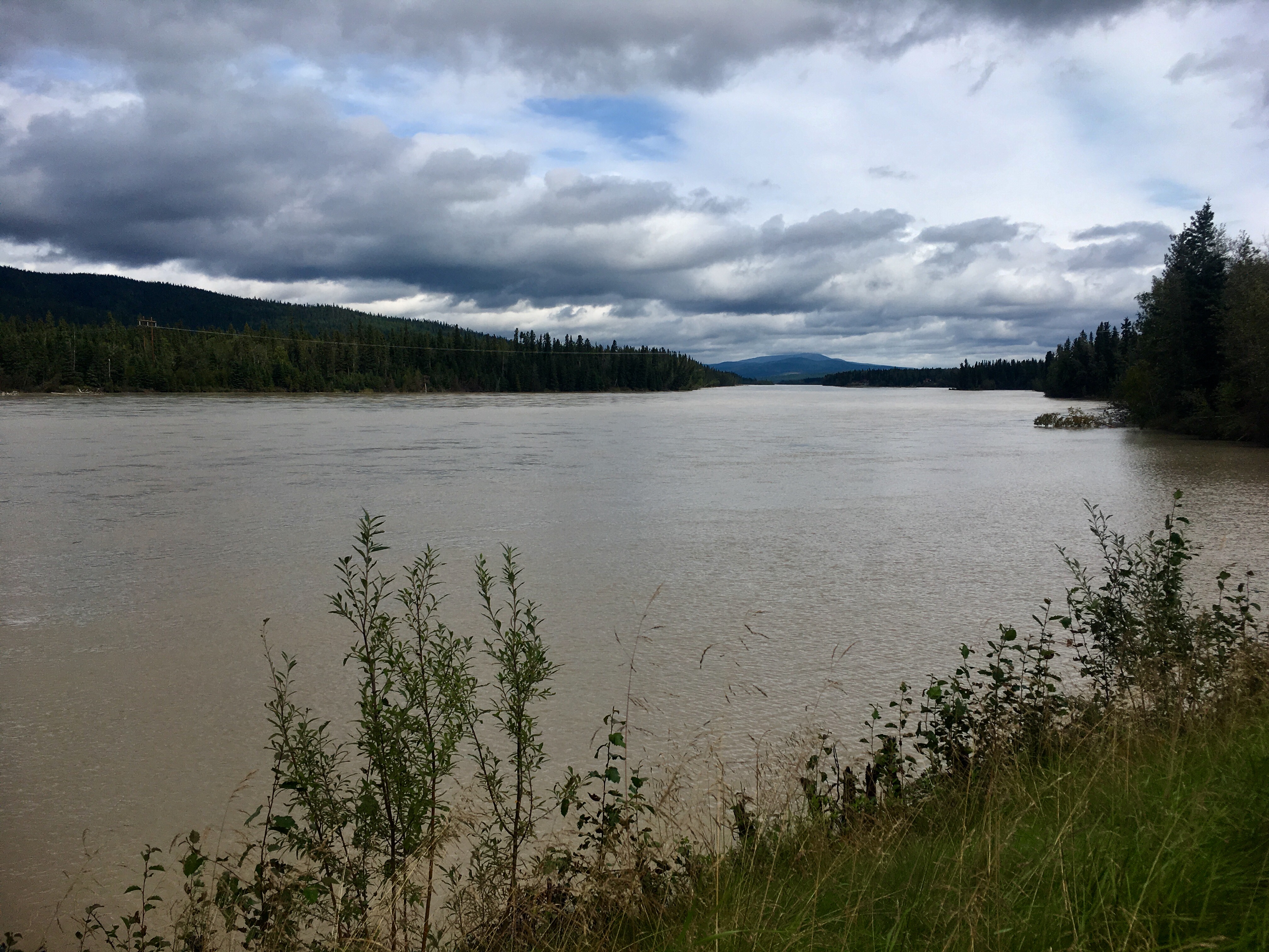
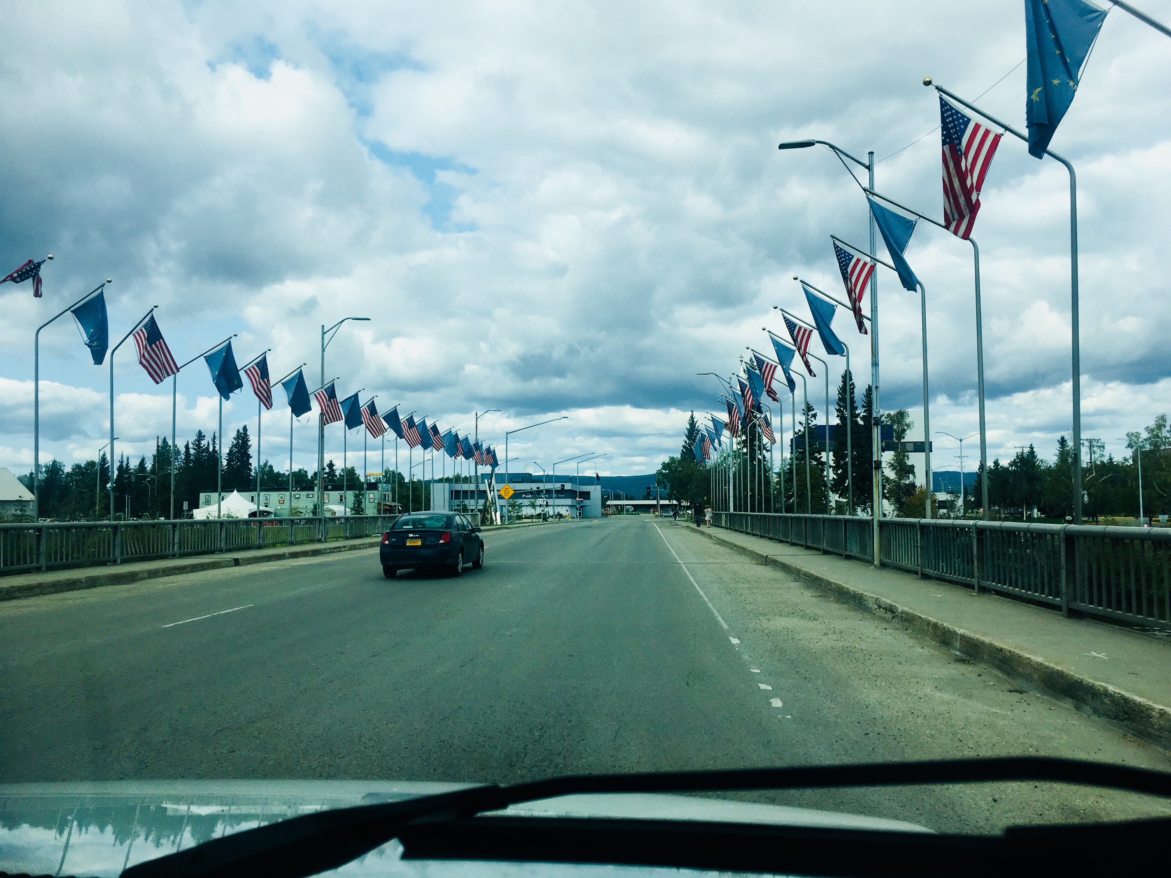
Our trip through the Yukon took us to Whitehorse, a fairly large city both in population (about 25,000) and size along the Yukon River. It’s also the capital of the Yukon Territory. The name apparently comes from the rapids on the river that supposedly look like the mane of a horse.
We saw amazing wildlife throughout the trip. This was a red fox with a white-tipped tail, found primarily out west. Different from the red foxes we have in Maryland.

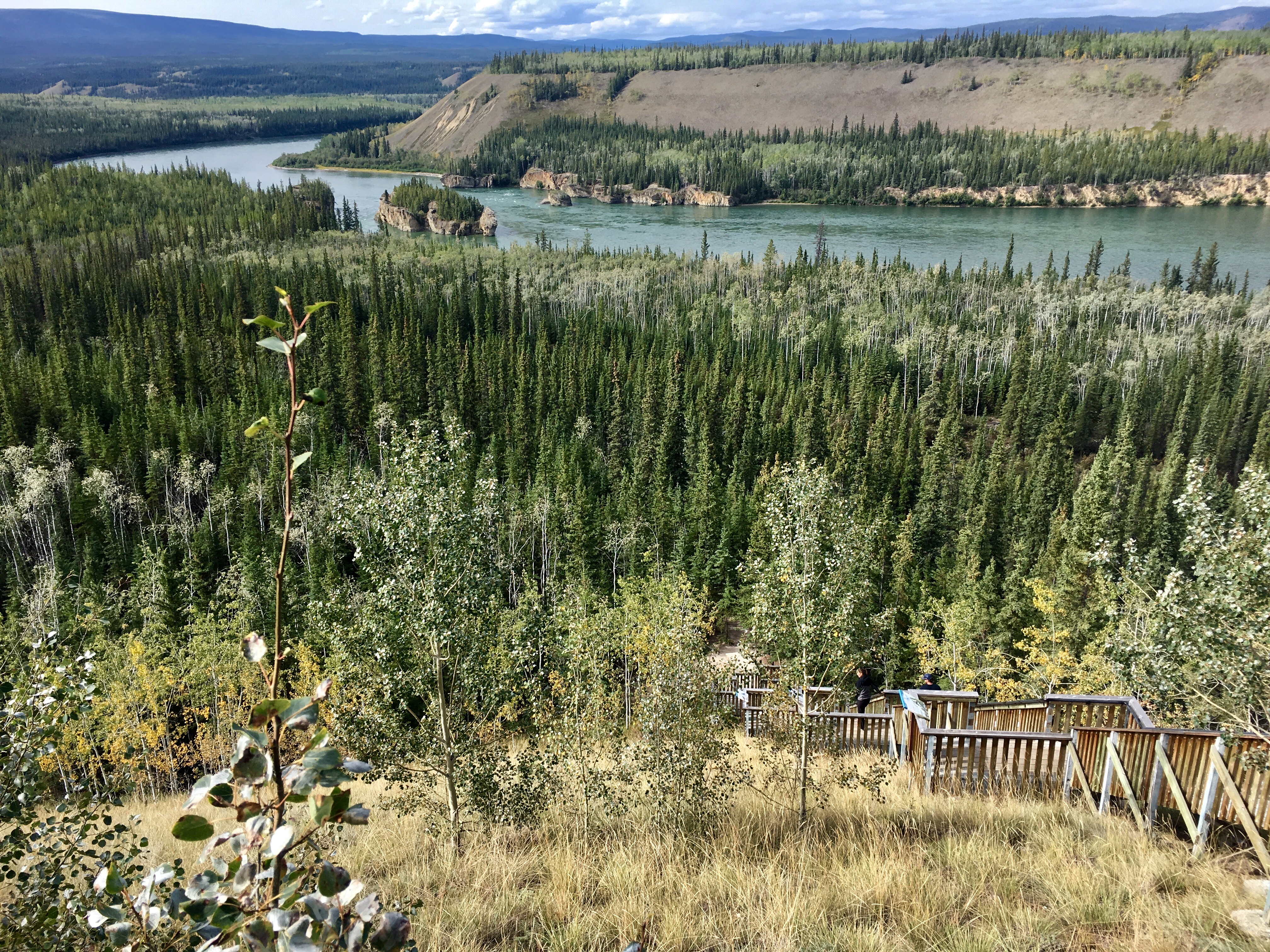
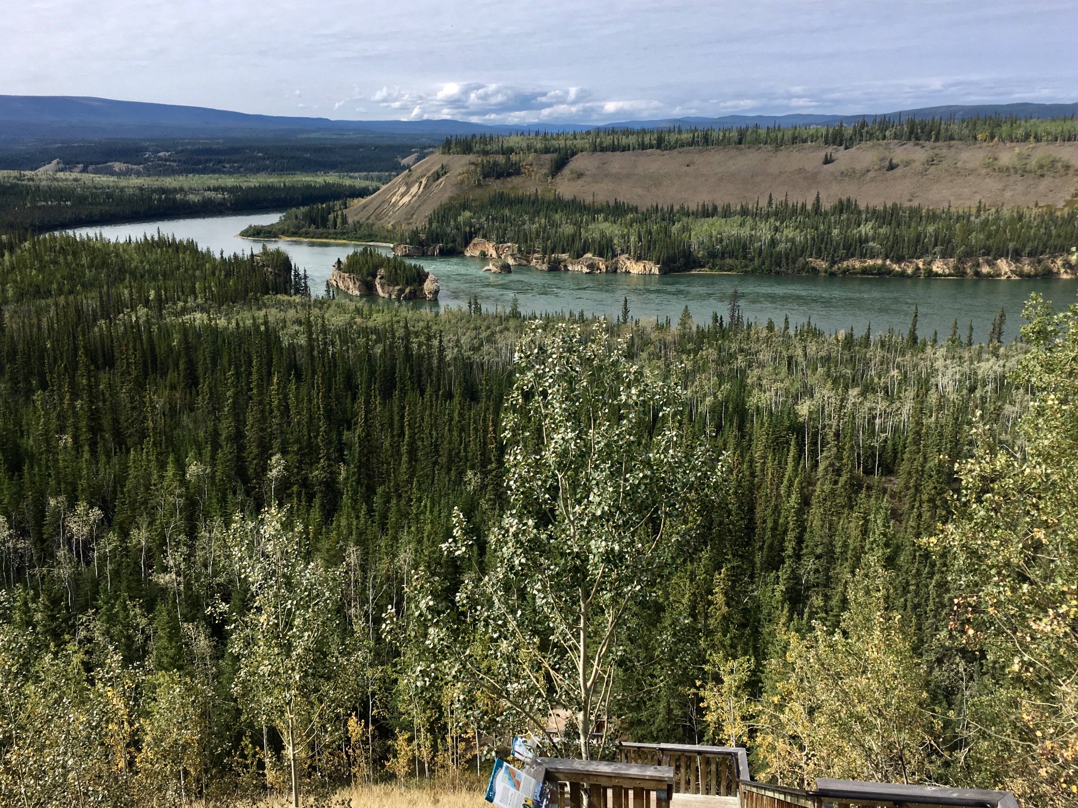
Spectacular views of the Yukon River where the gold rushers traveled up to the craziness of the gold fields.
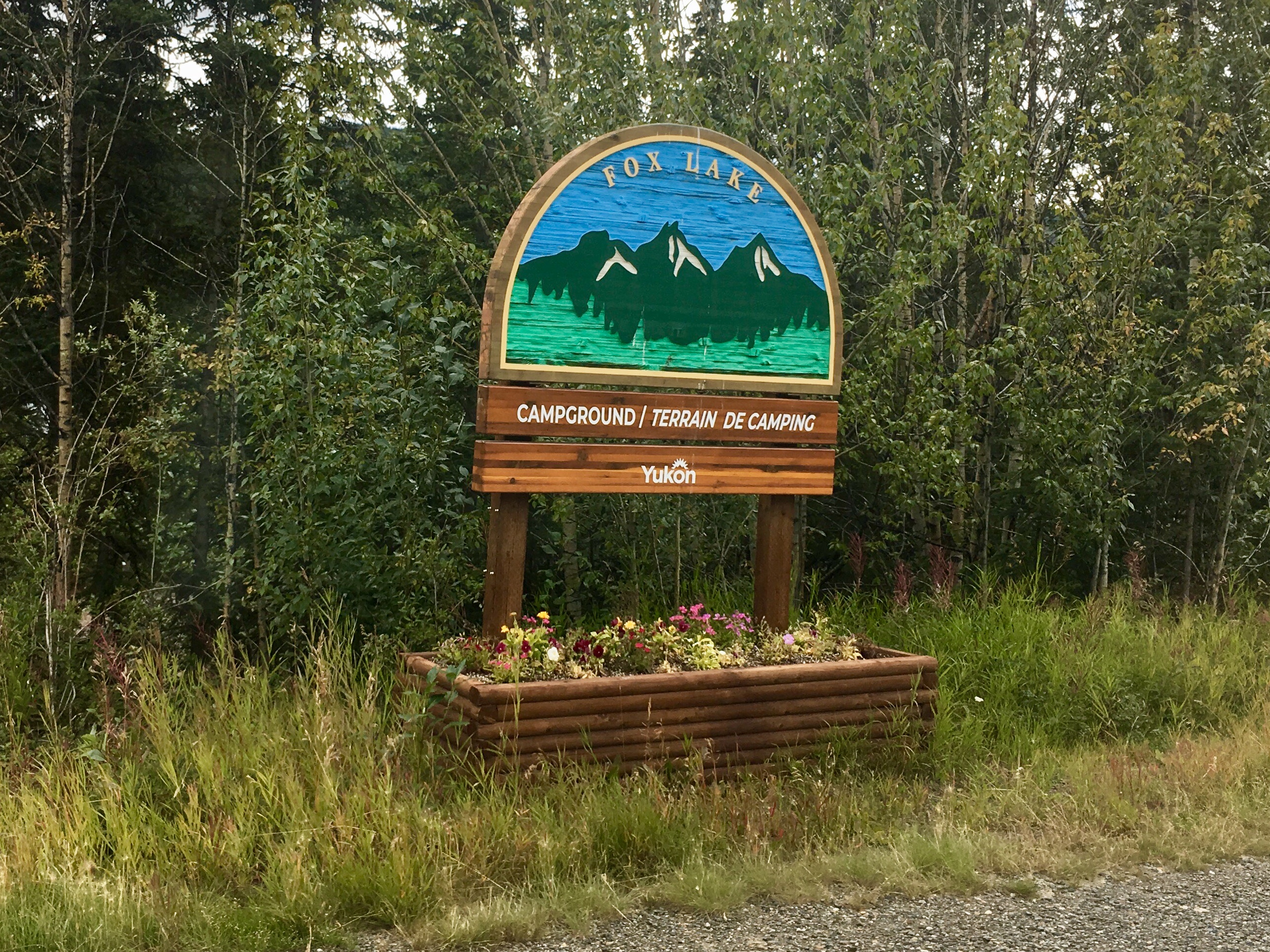
Fox Lake Campground.
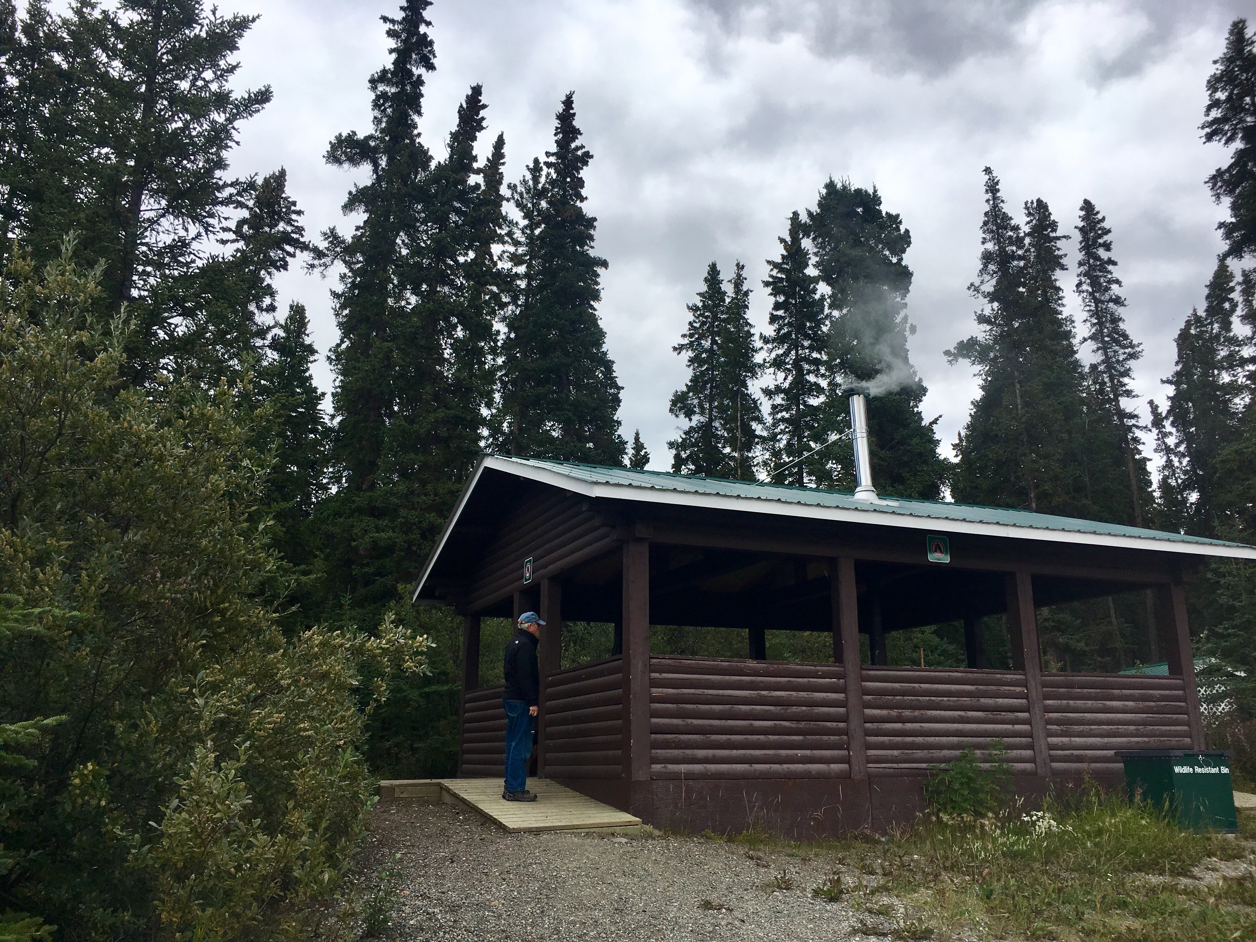
The common eating area in the campground. Complete with a wood stove that someone was using both to cook and for heat.
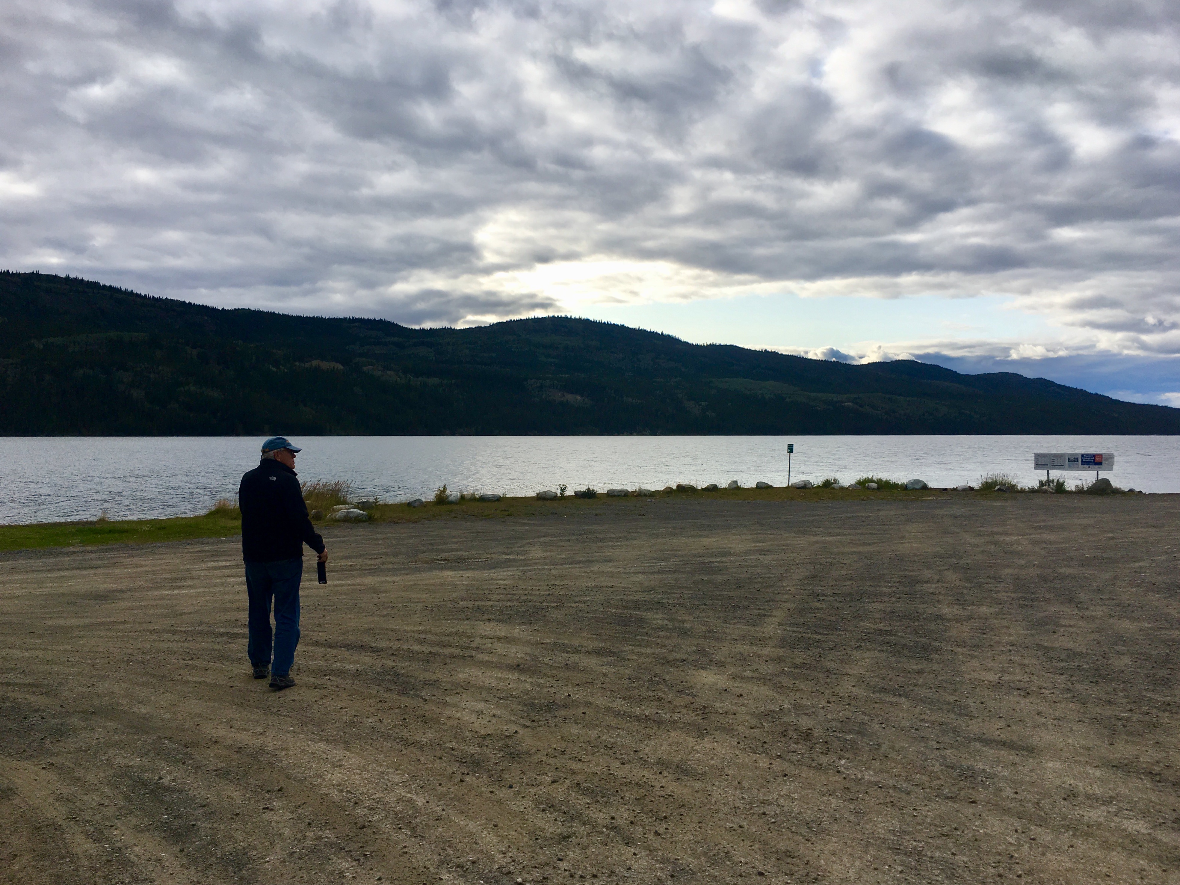
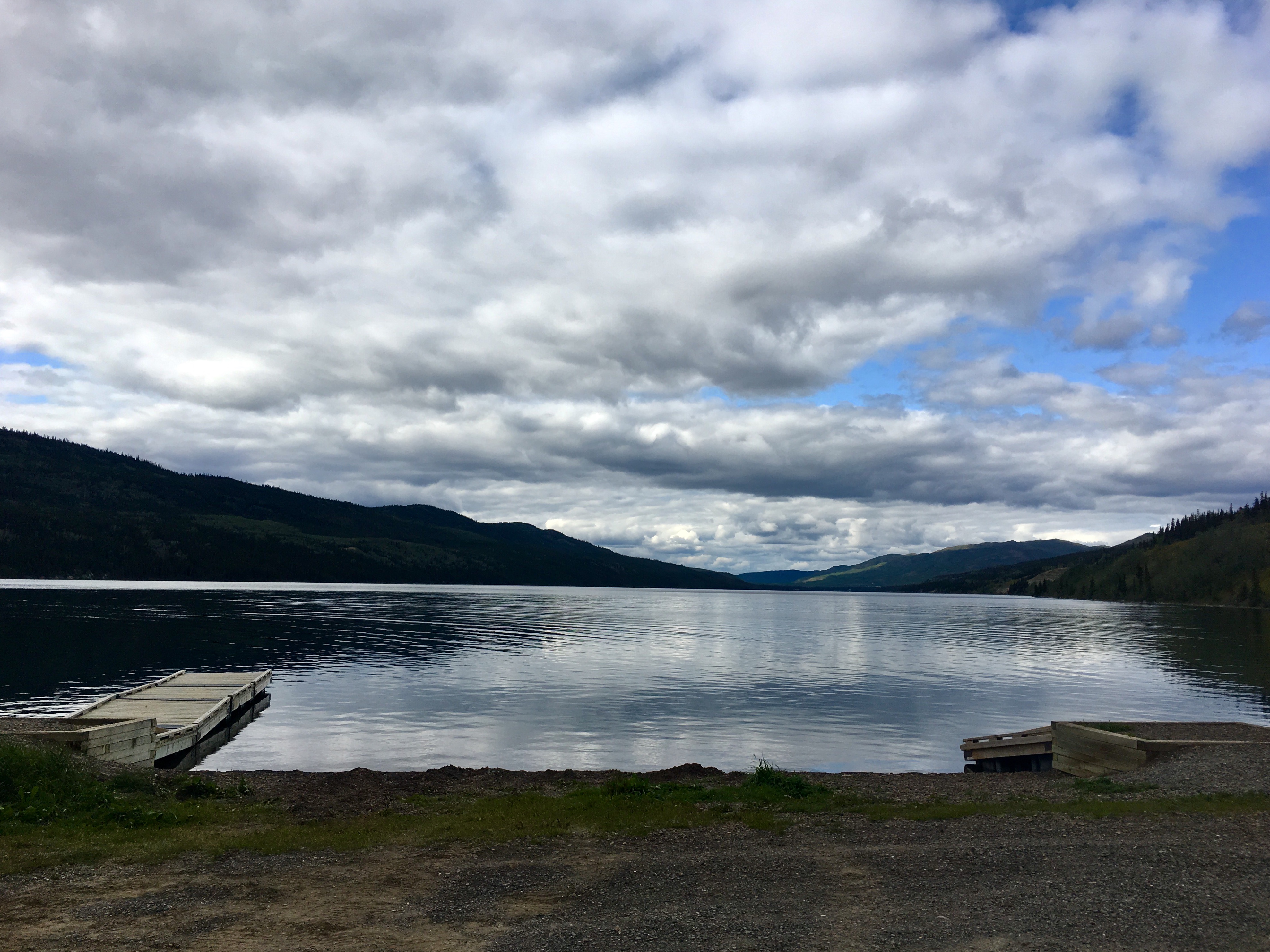
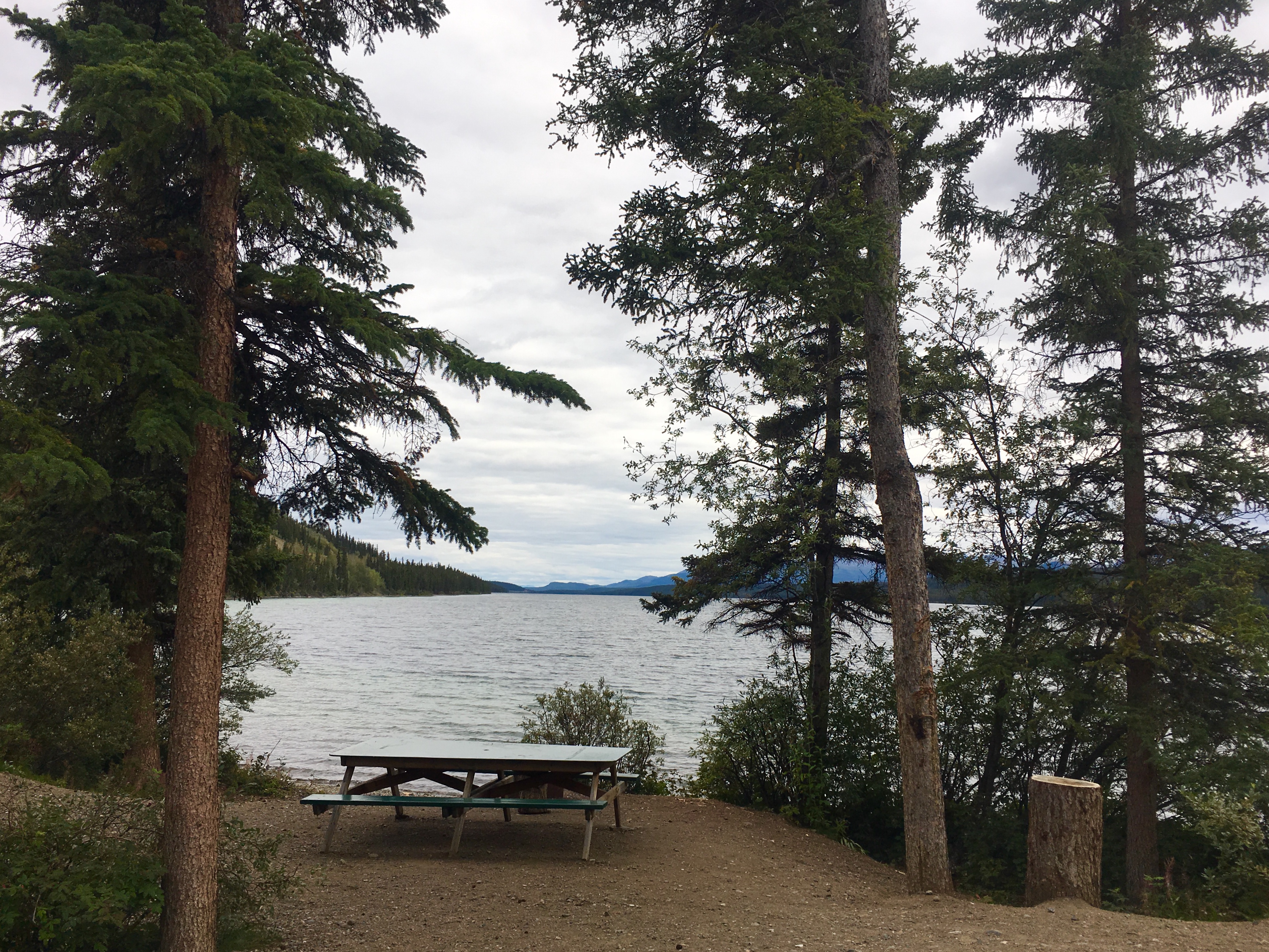
Another of the many beautiful campsites we discovered along our journey. We are totally and completely spoiled by the natural beauty of all the many places we camped.
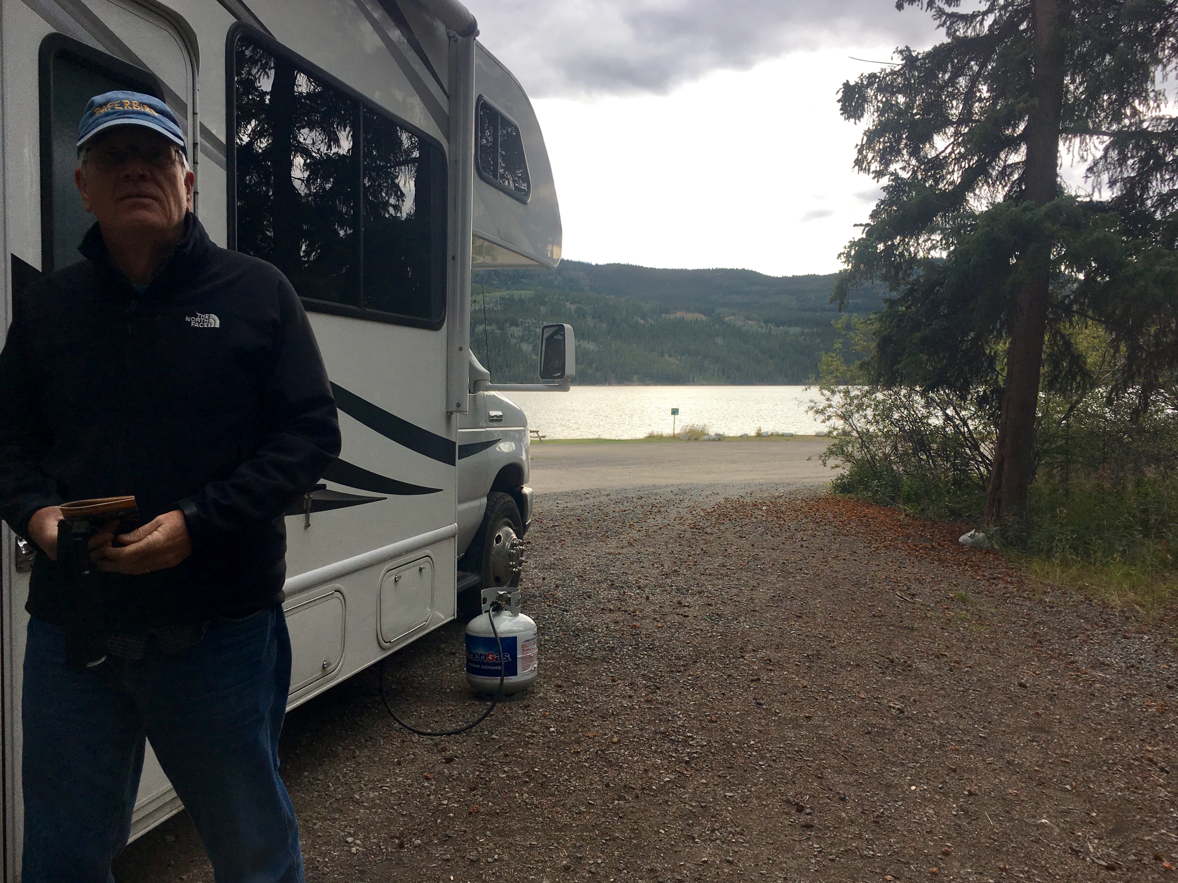
Note that we often used our external propane tank. We found that the nights were cold enough by this time that we needed the heat in the camper. The furnace puts out a lot of heat, but it uses a fair bit of propane to do it. So we carried an external grill sized propane tank to make sure we didn’t run out. The big concern actually was that the fridge runs off propane and we didn’t want to chance running out and losing the food.
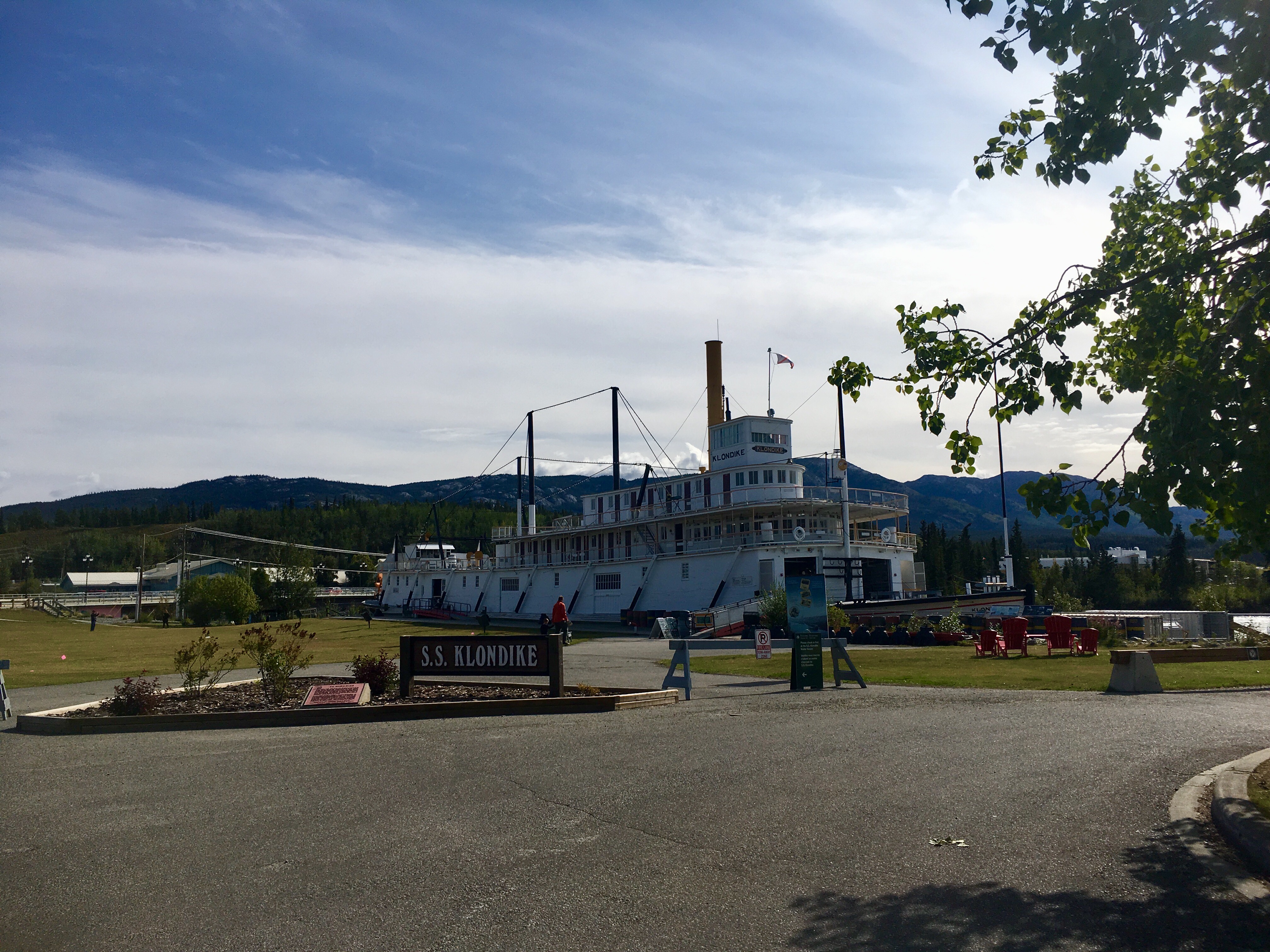
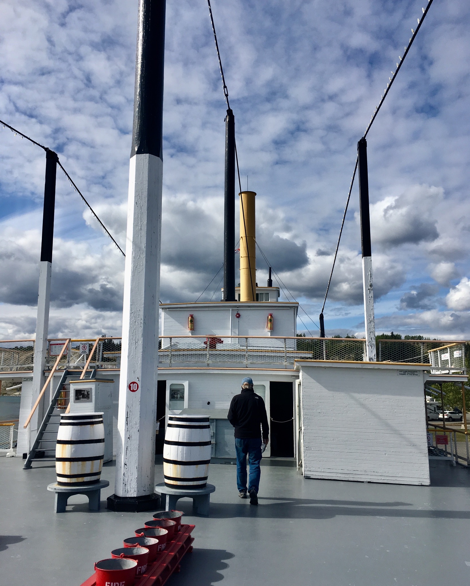
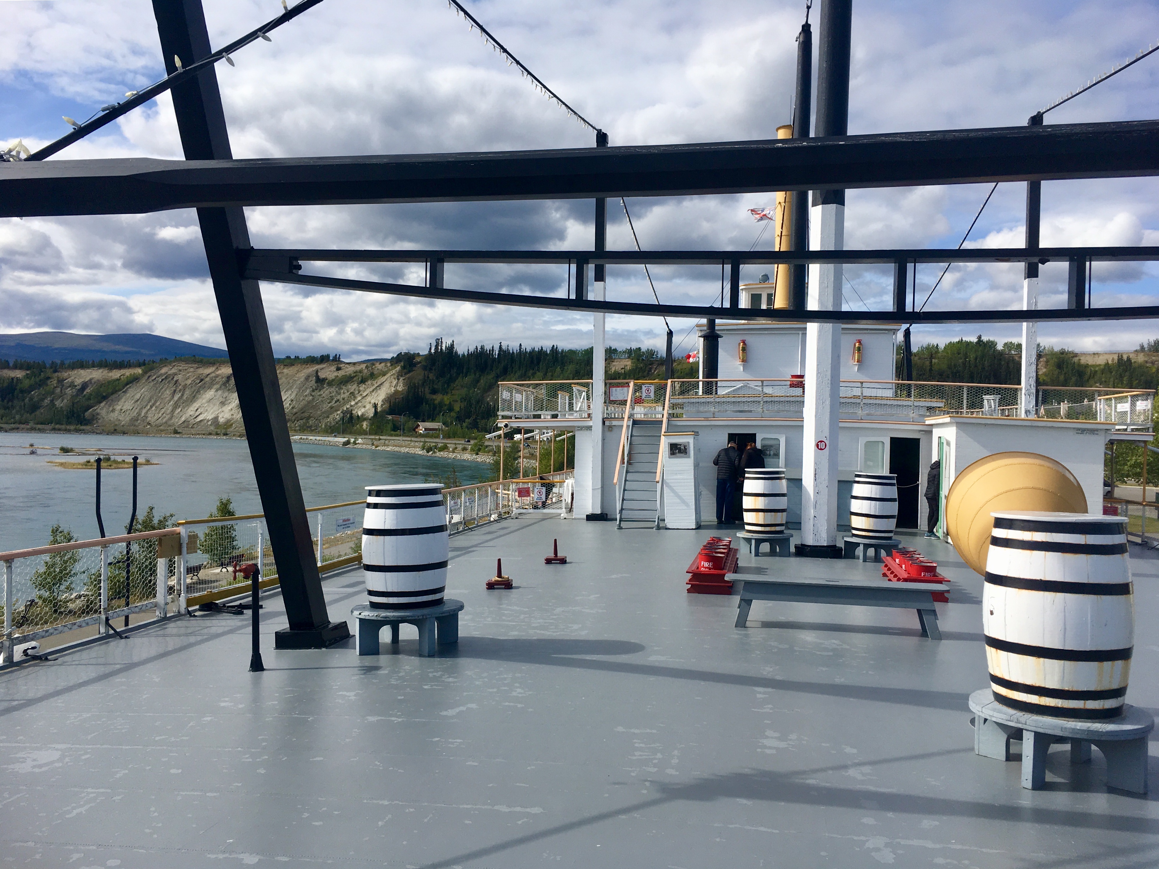
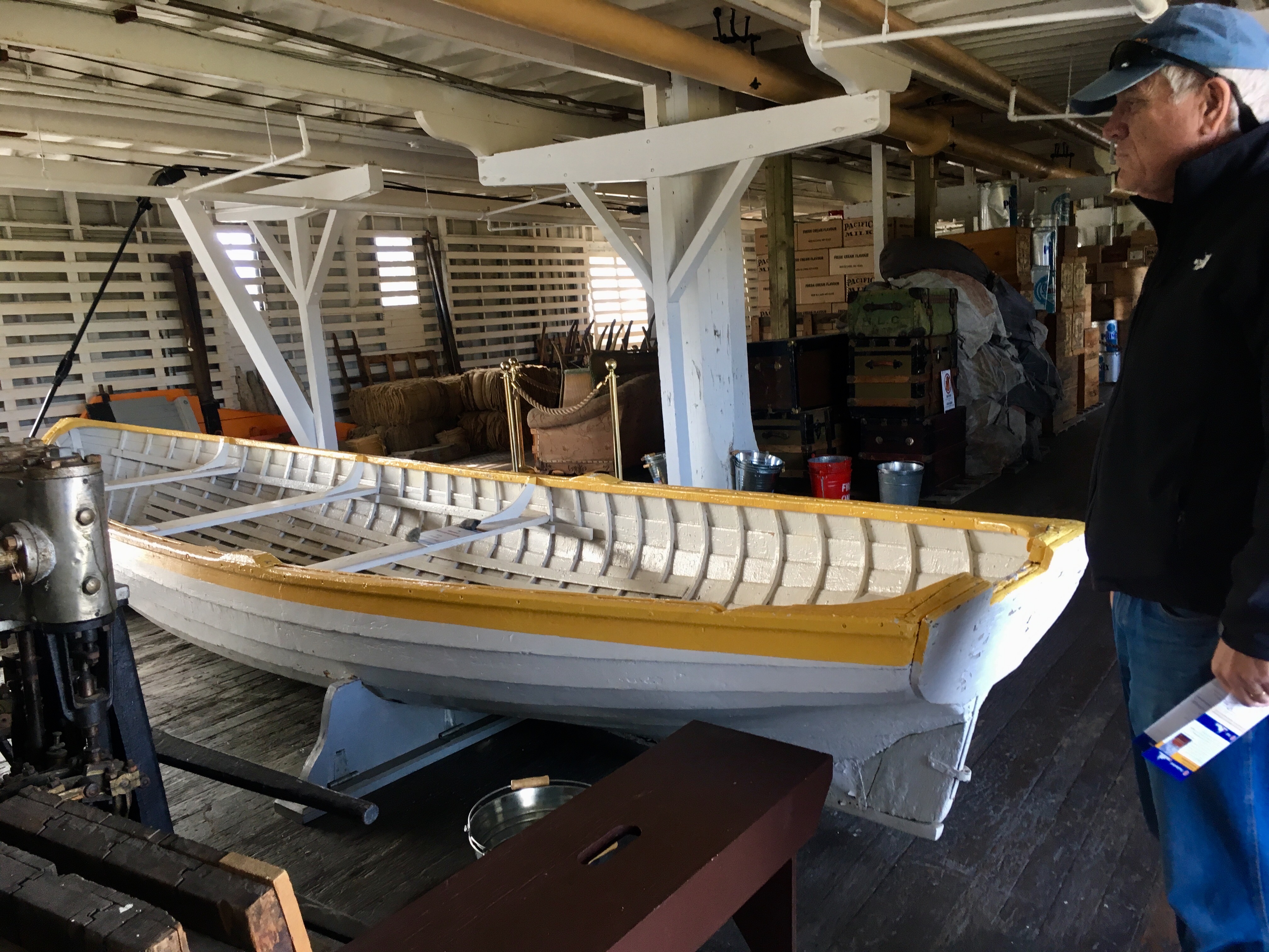
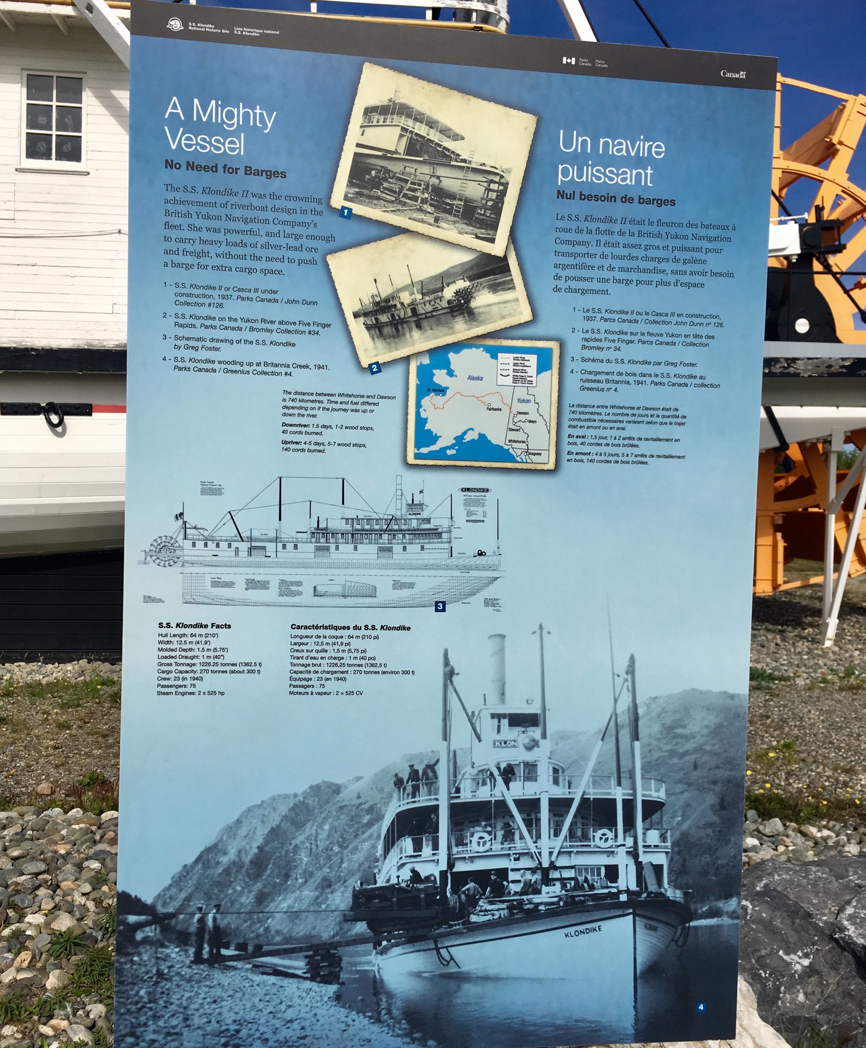
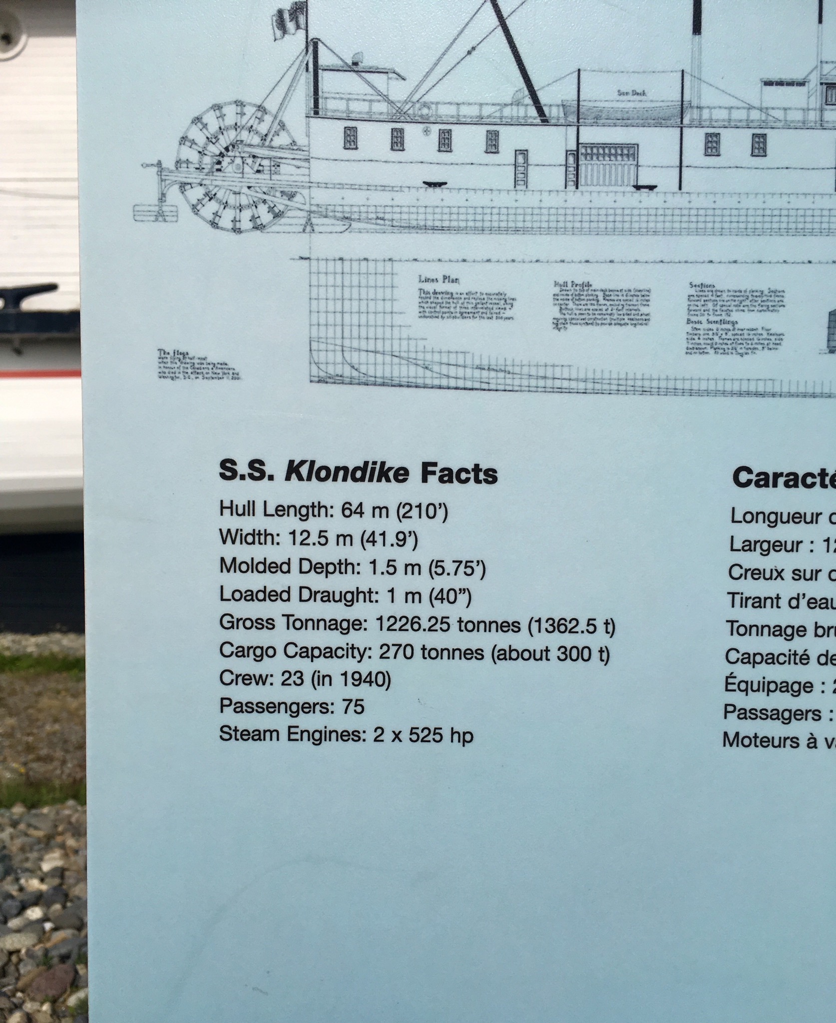
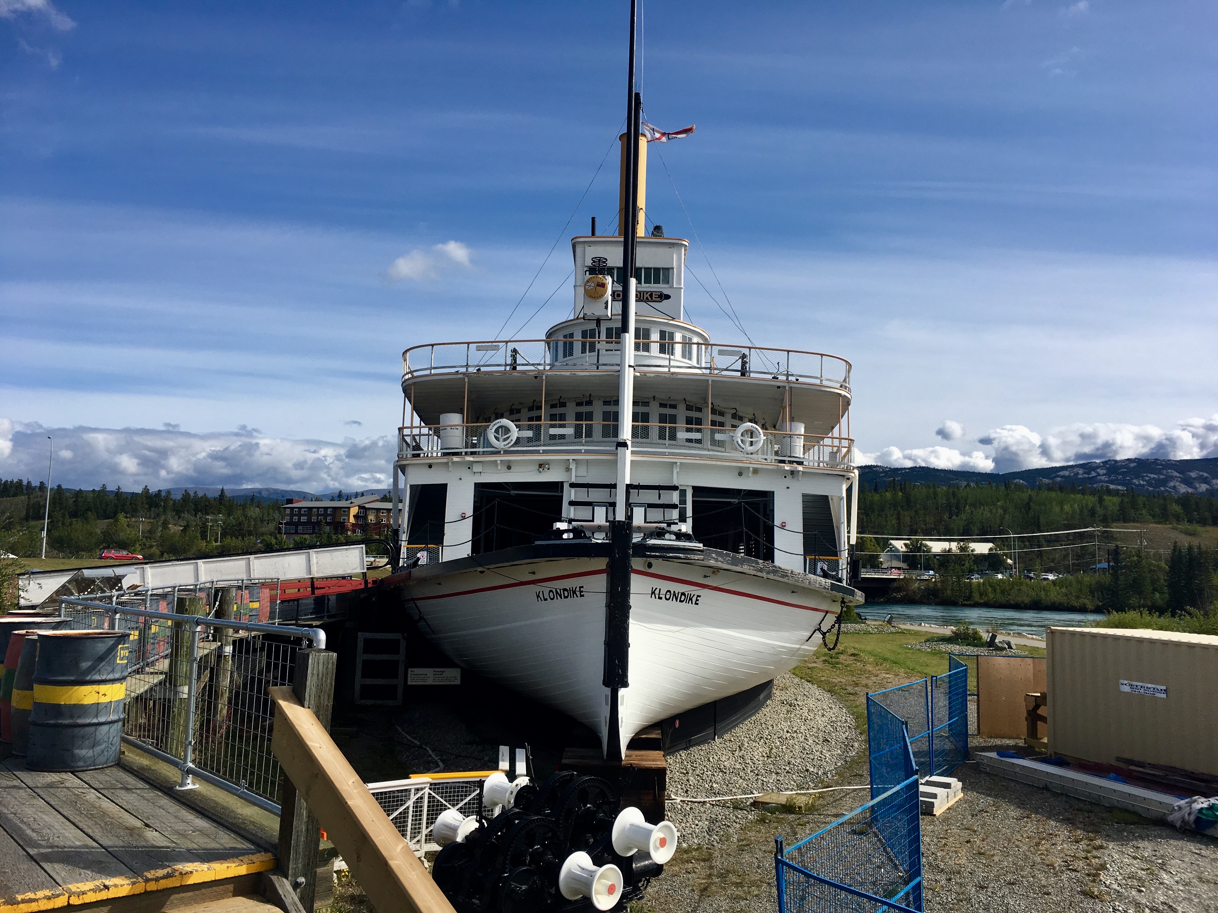
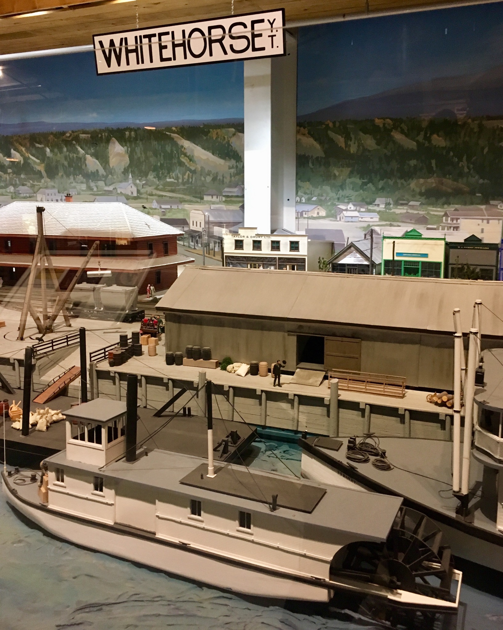
Of course, no matter where we are, we seem to gravitate towards the water and the boats that ply it. In this case, another of the great riverboats.
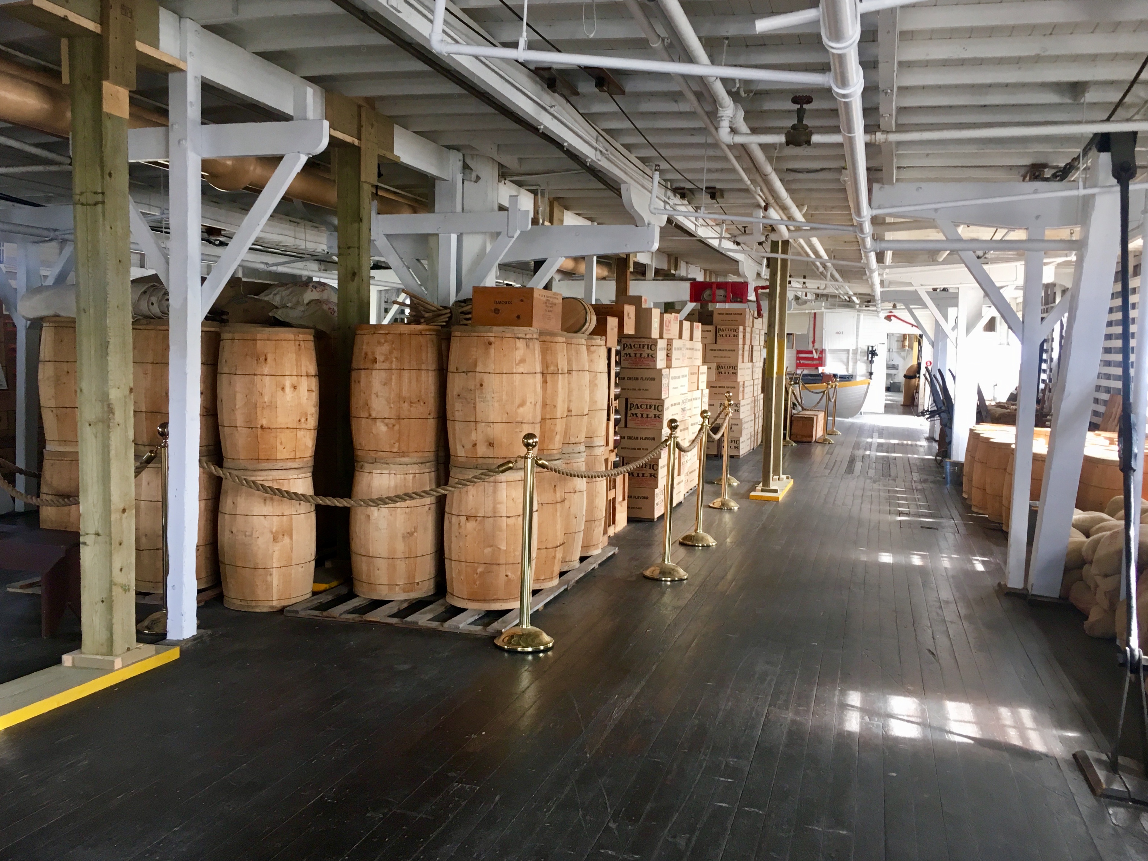
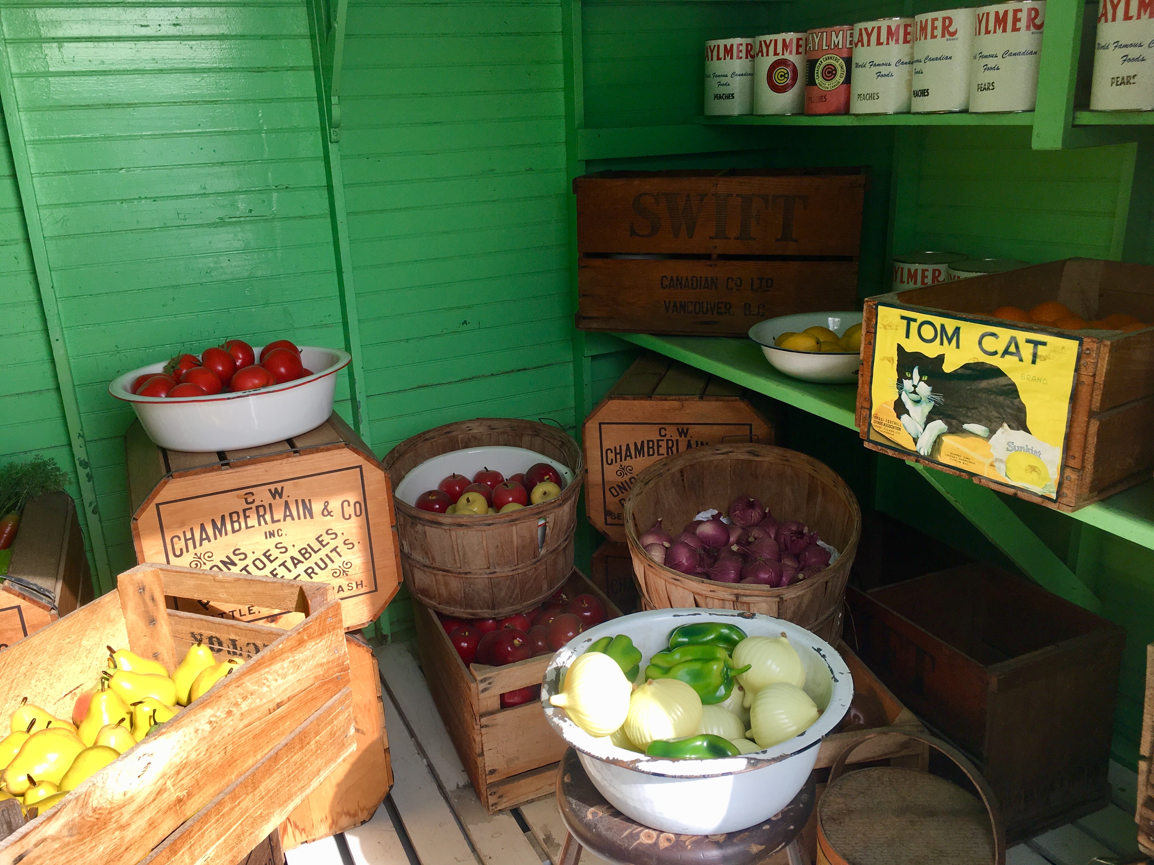
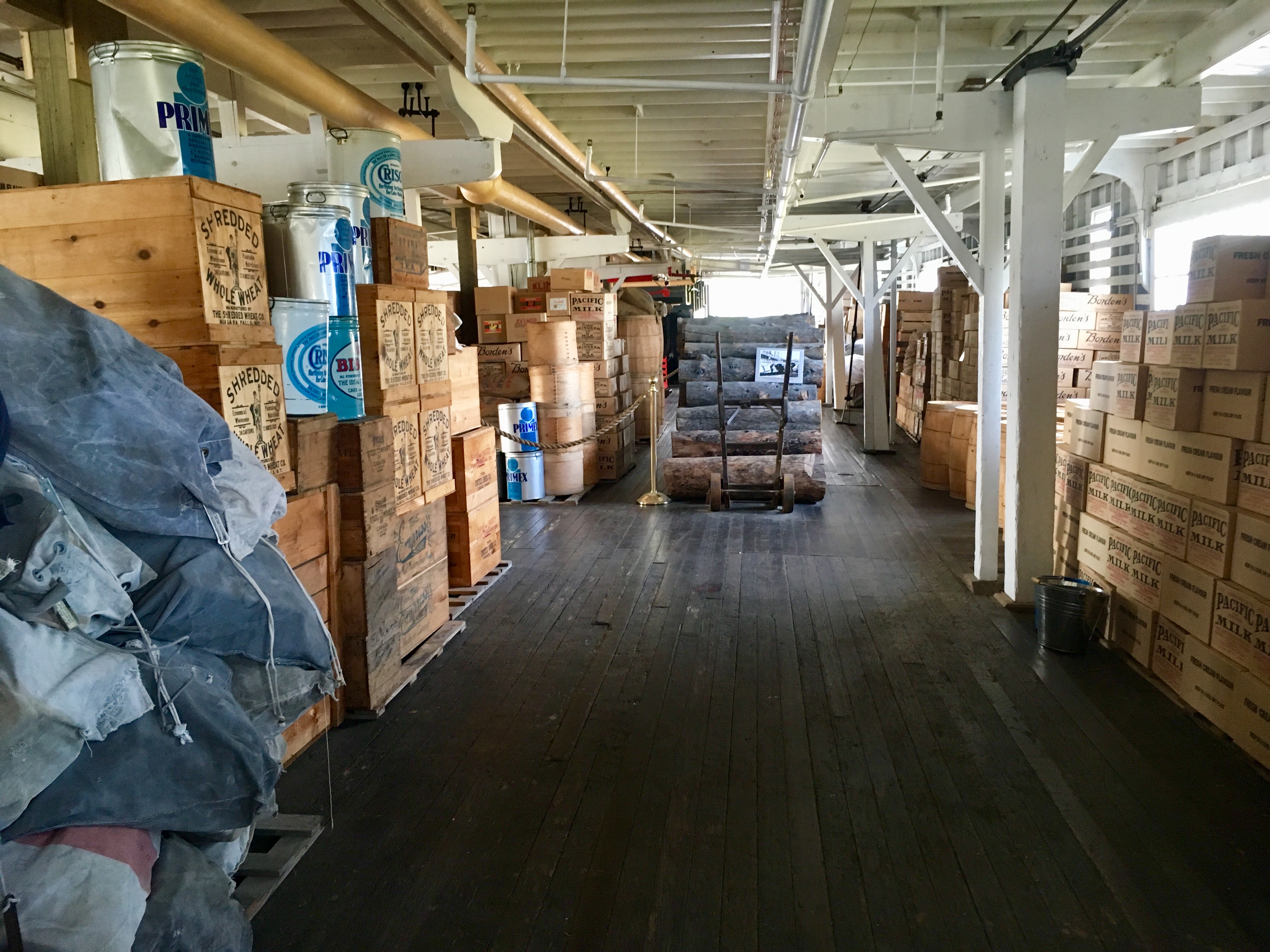
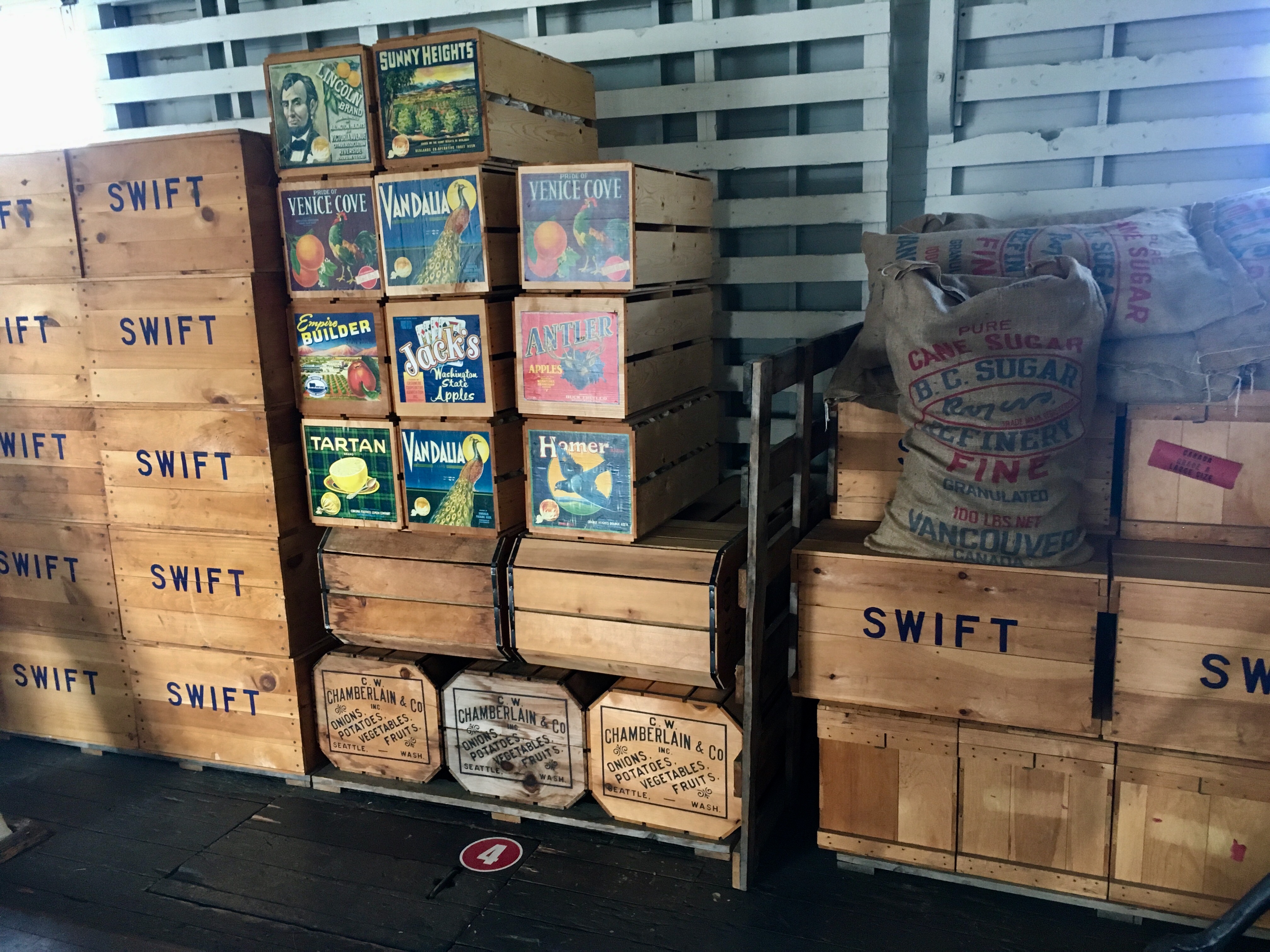
The cargo hold with lots of room for stores.

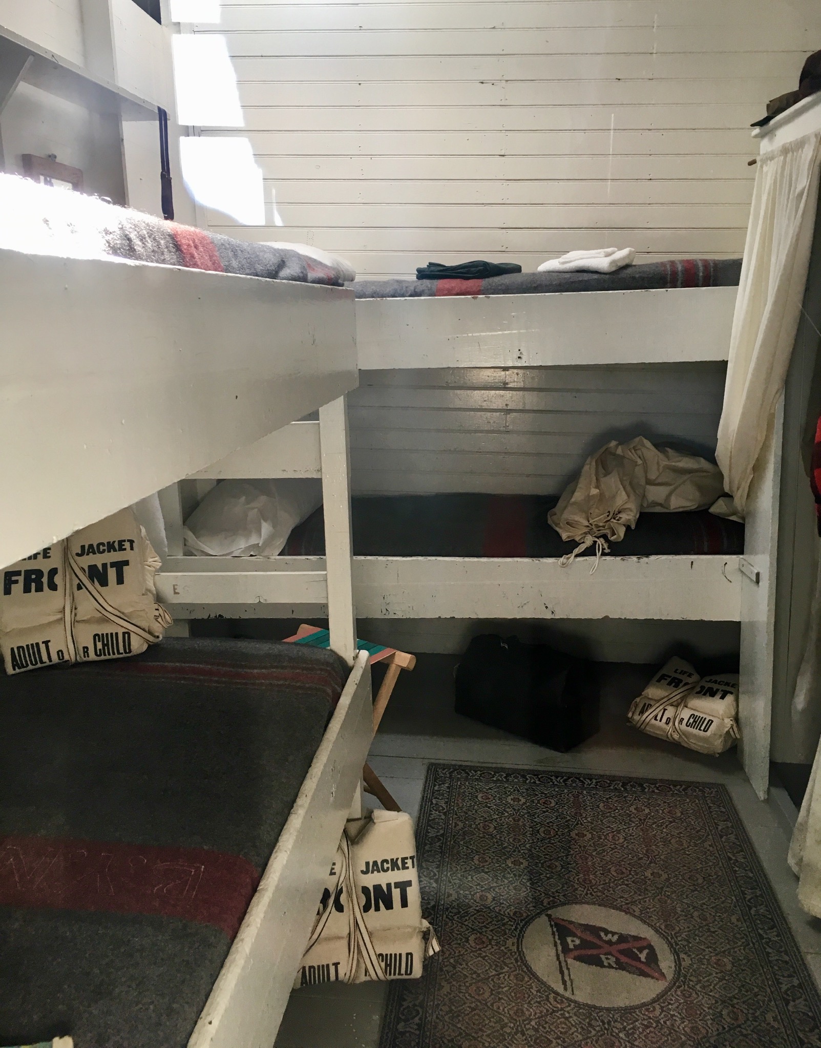
But not much room for people. One of the interesting things is the vast gulf between 1st and 2nd class accommodations. Guess some things haven’t changed…
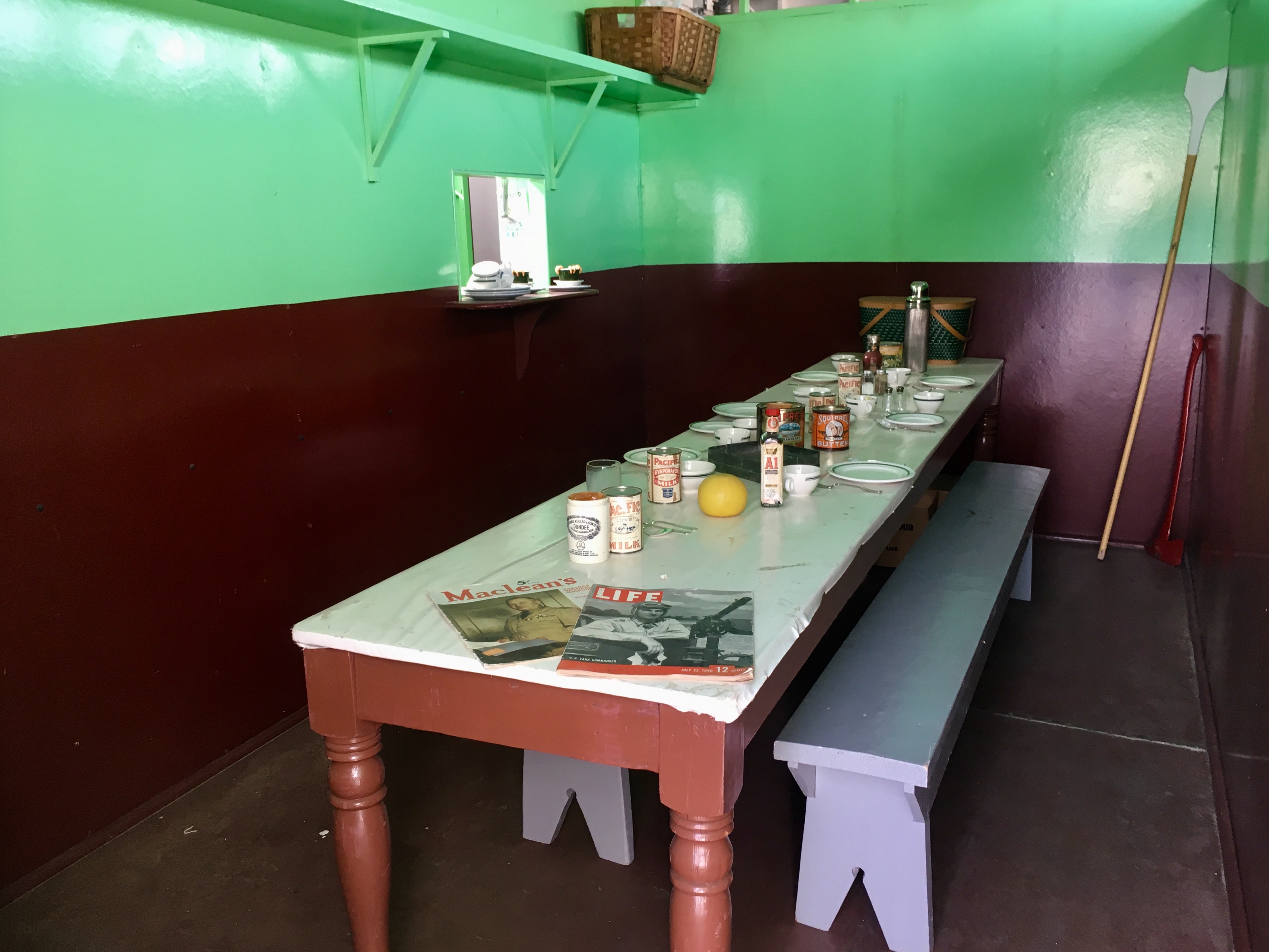
2nd class dining…
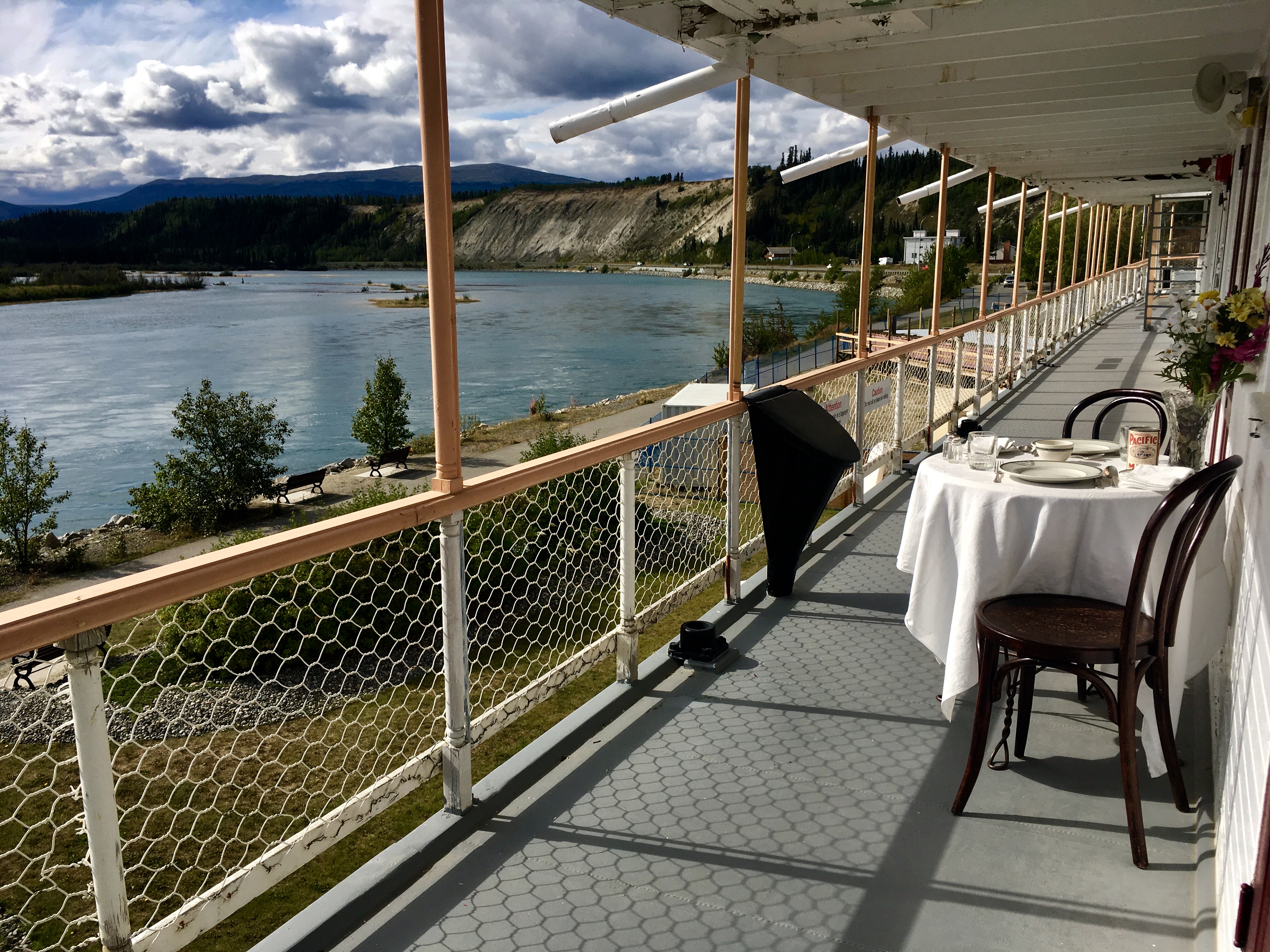
1st class dining…
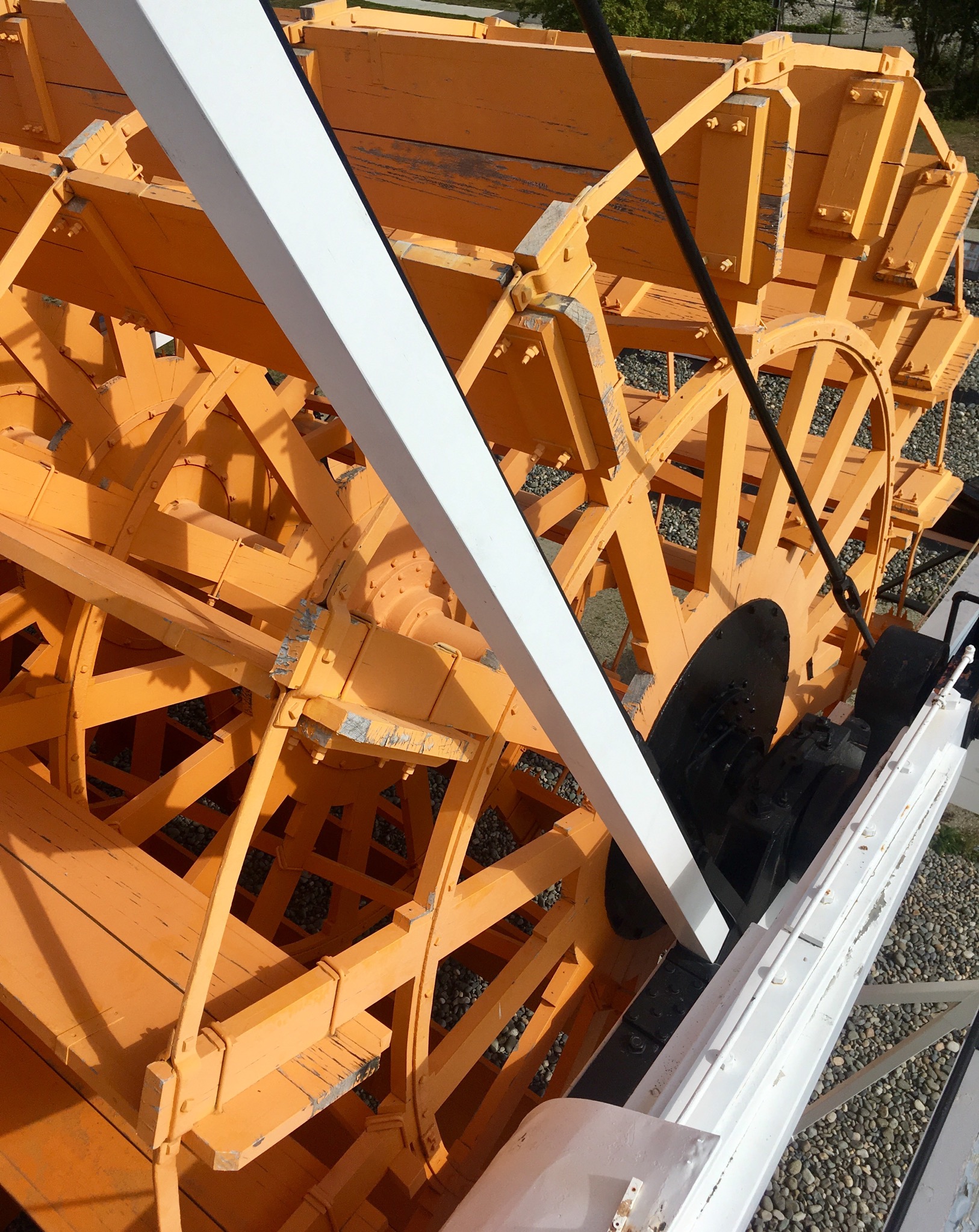
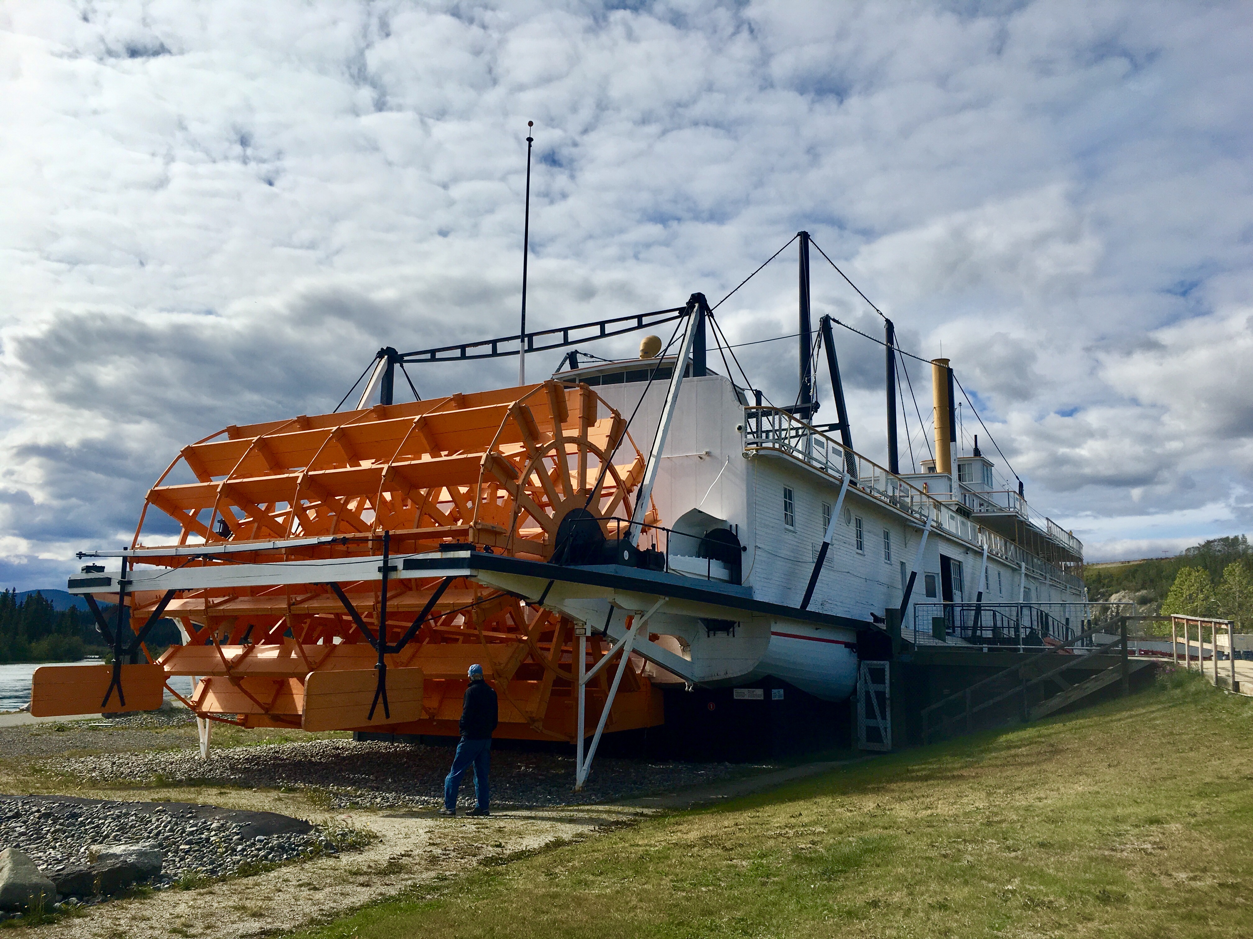
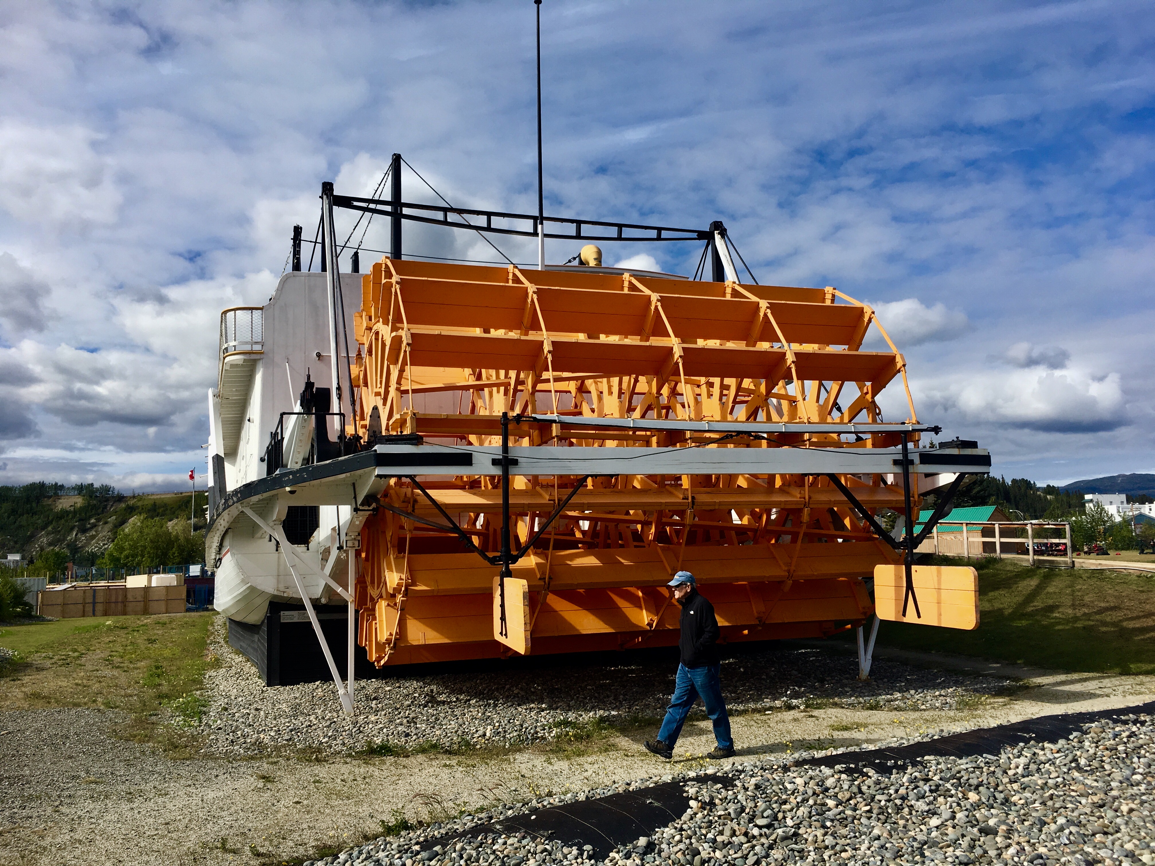
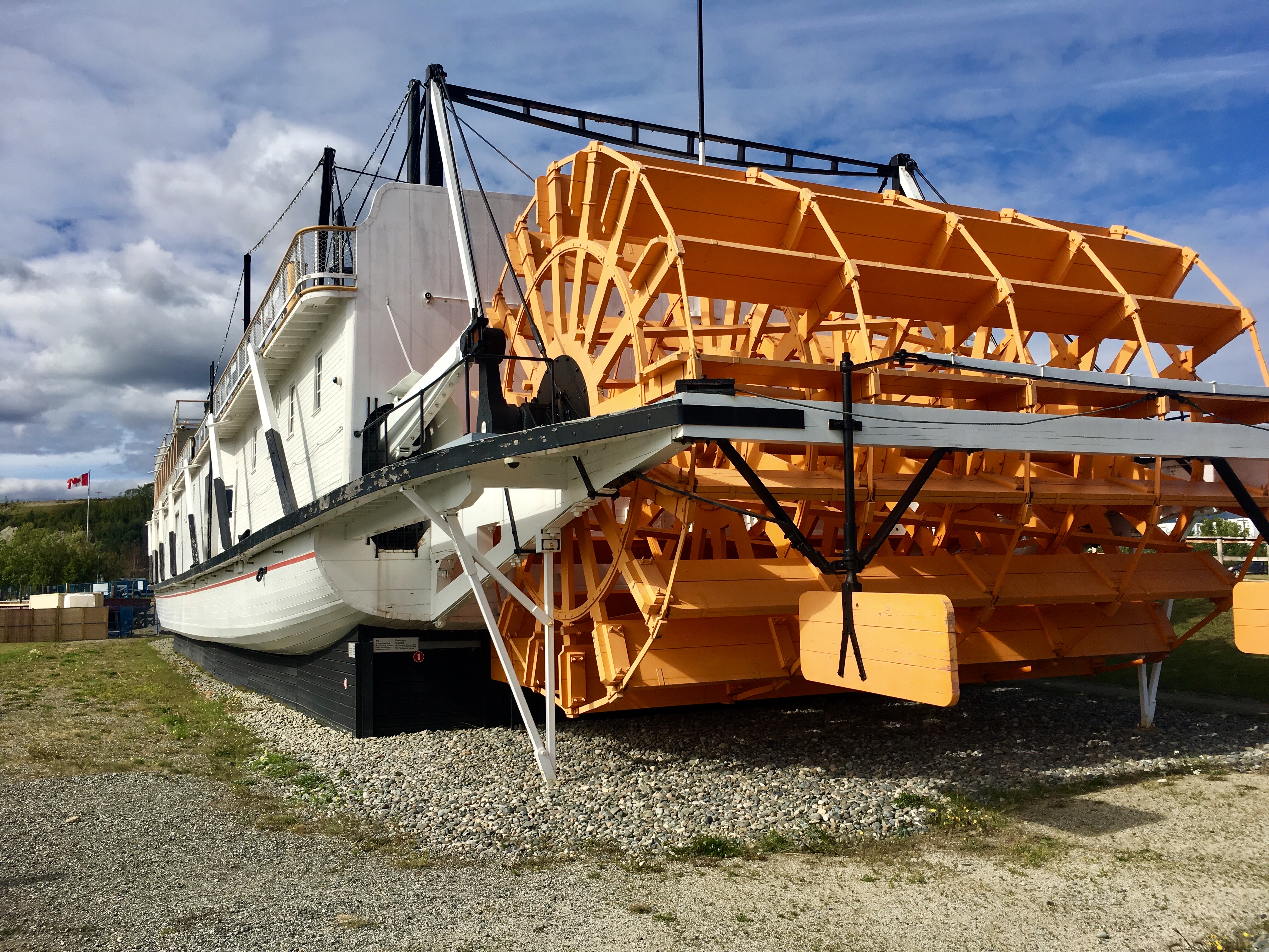
The great paddlewheel that drove the riverboat. Seems like a pretty fragile mechanism for traveling on such a dangerous river journey.
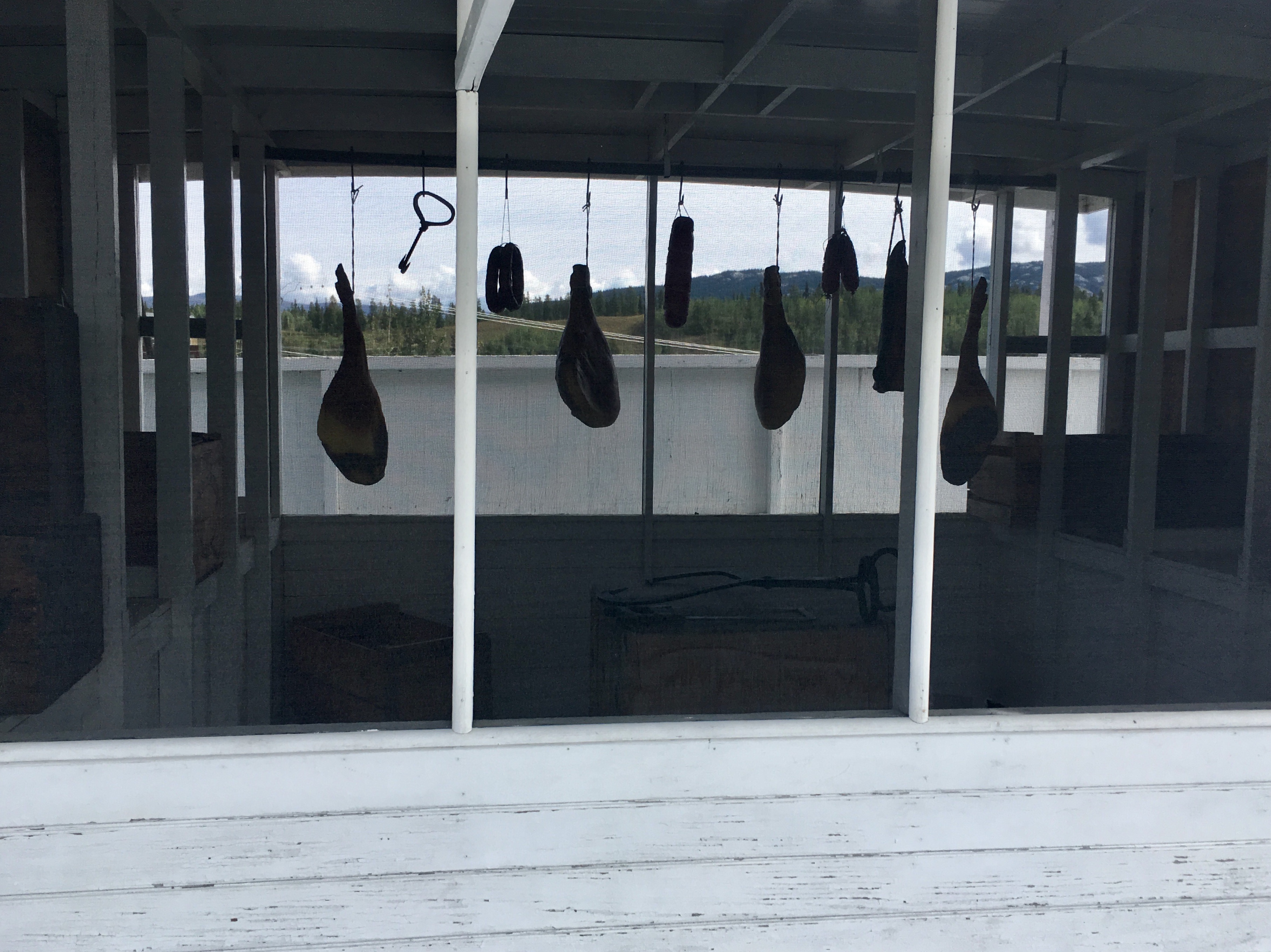
The meat locker on the top deck. It was cold enough to just hang the meat outside in the weather. No need for extra ice!
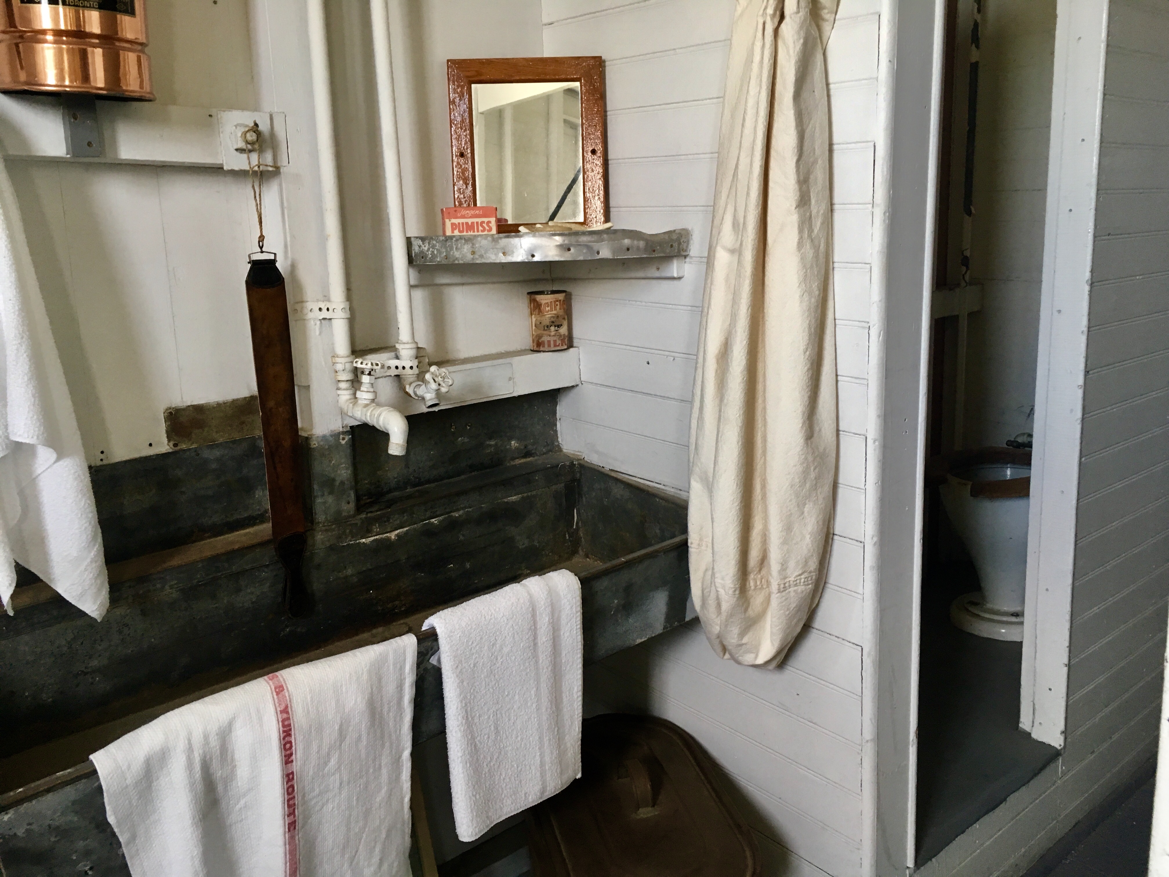
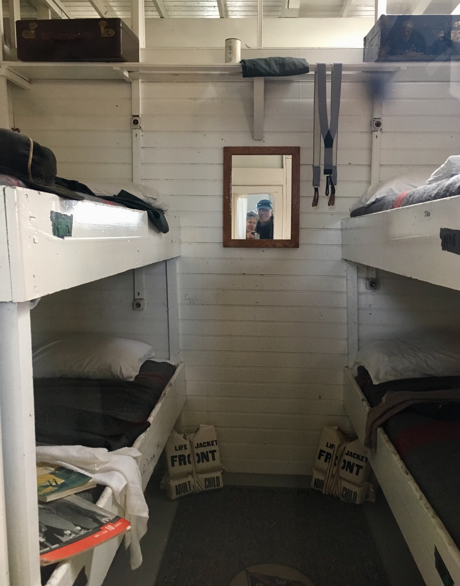
Close quarters!
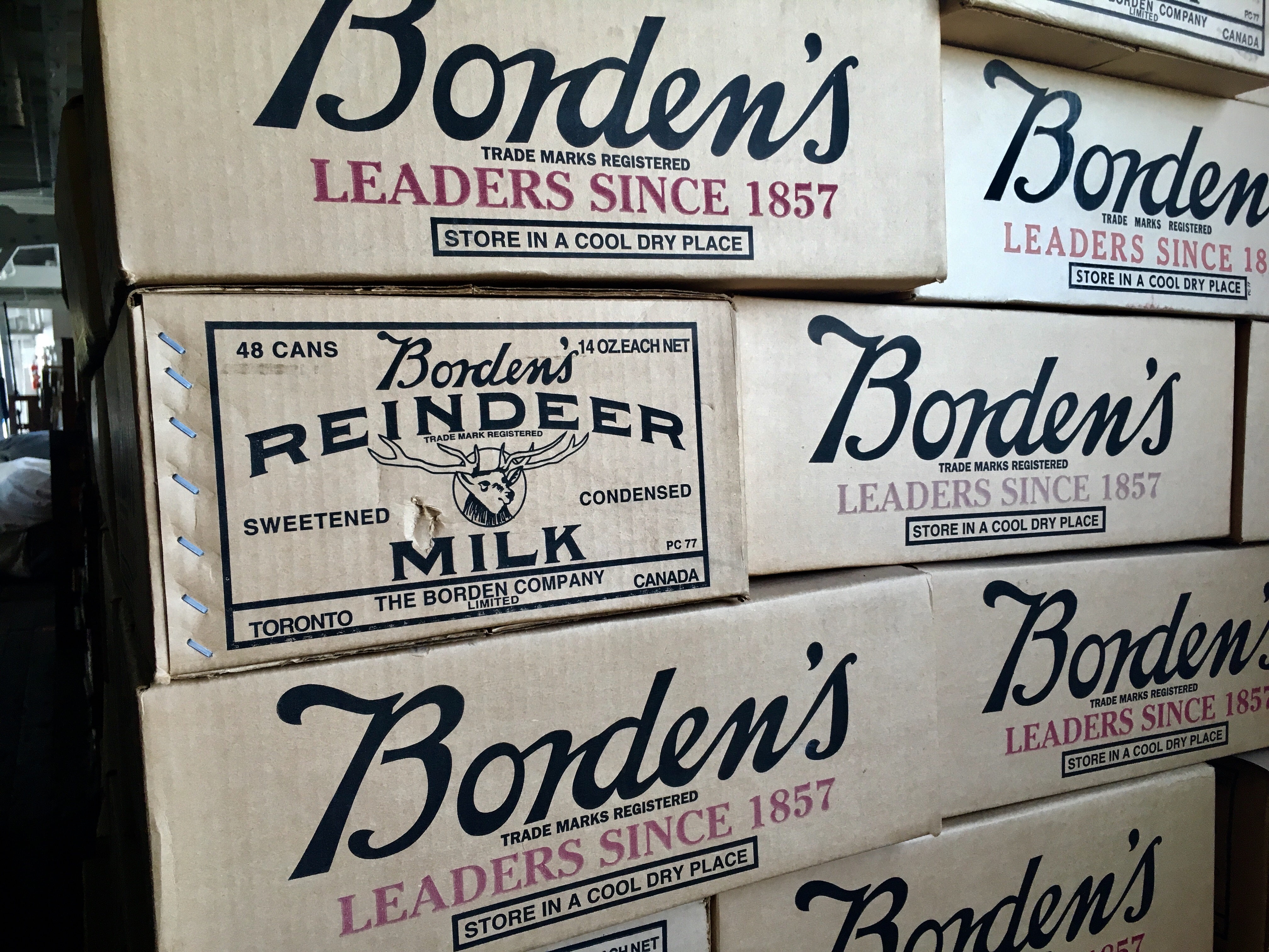
Reindeer milk – what a delicacy!
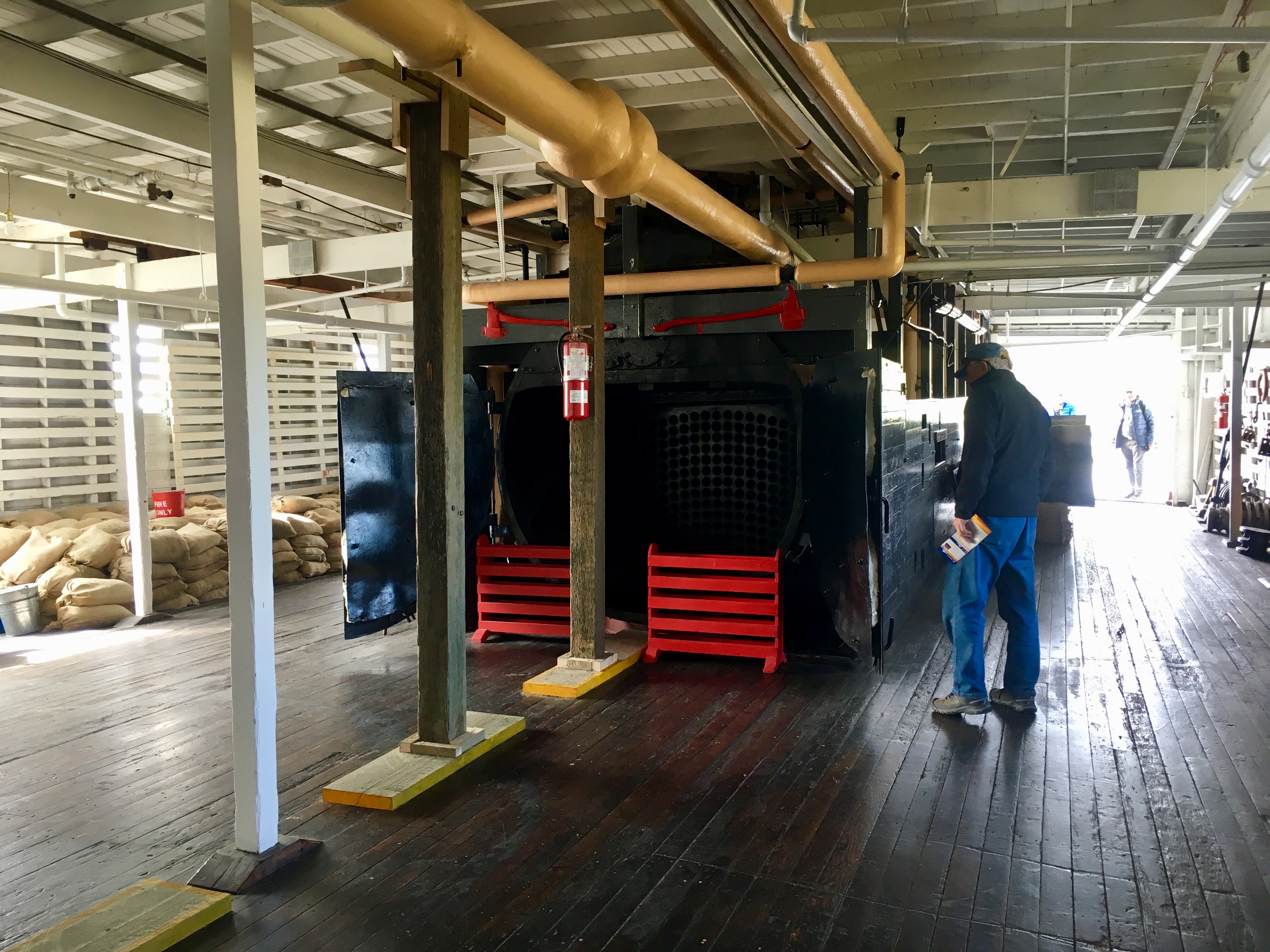
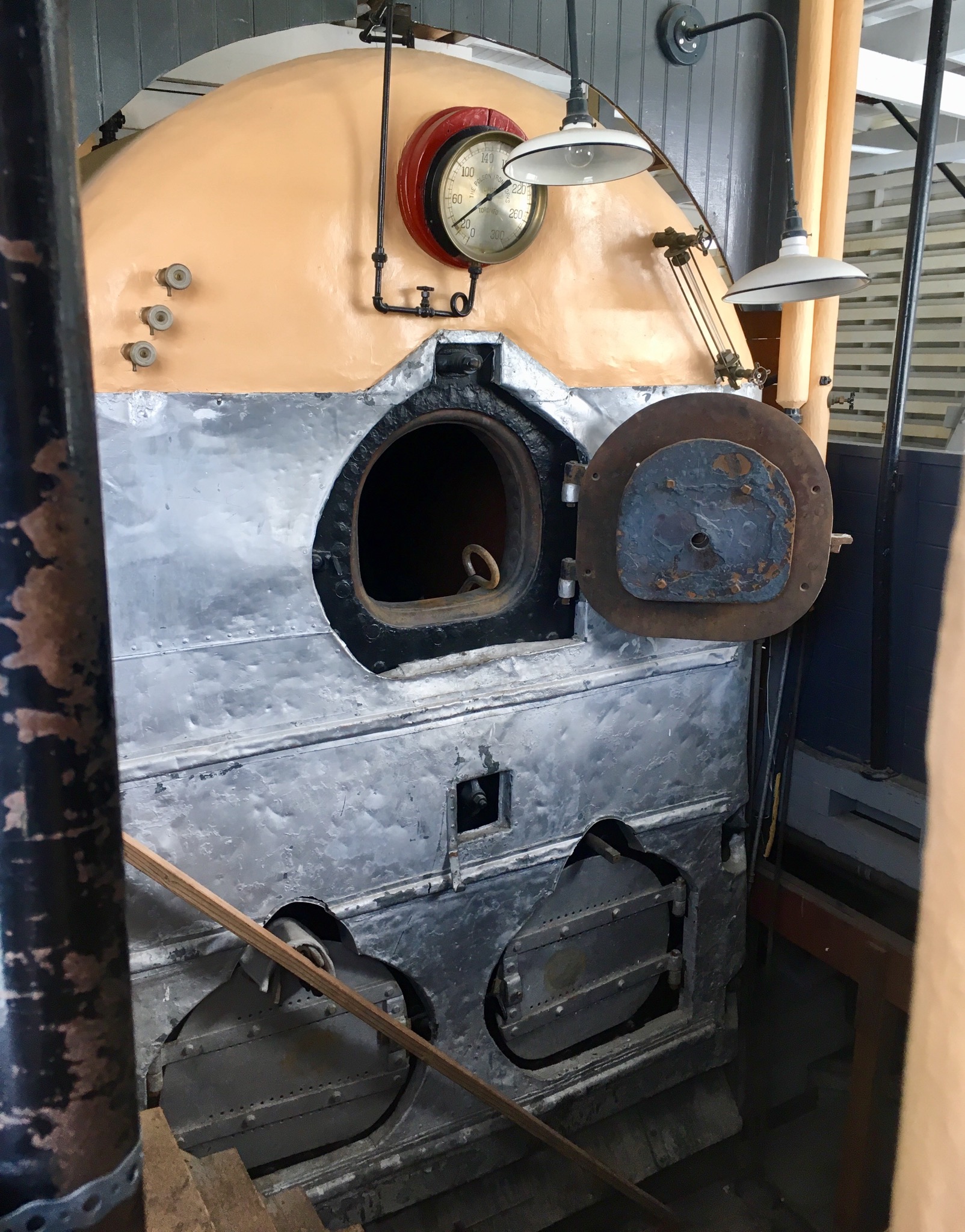
The boiler – where it all starts.
The wheel – where all that steam from the boiler turns into motion.
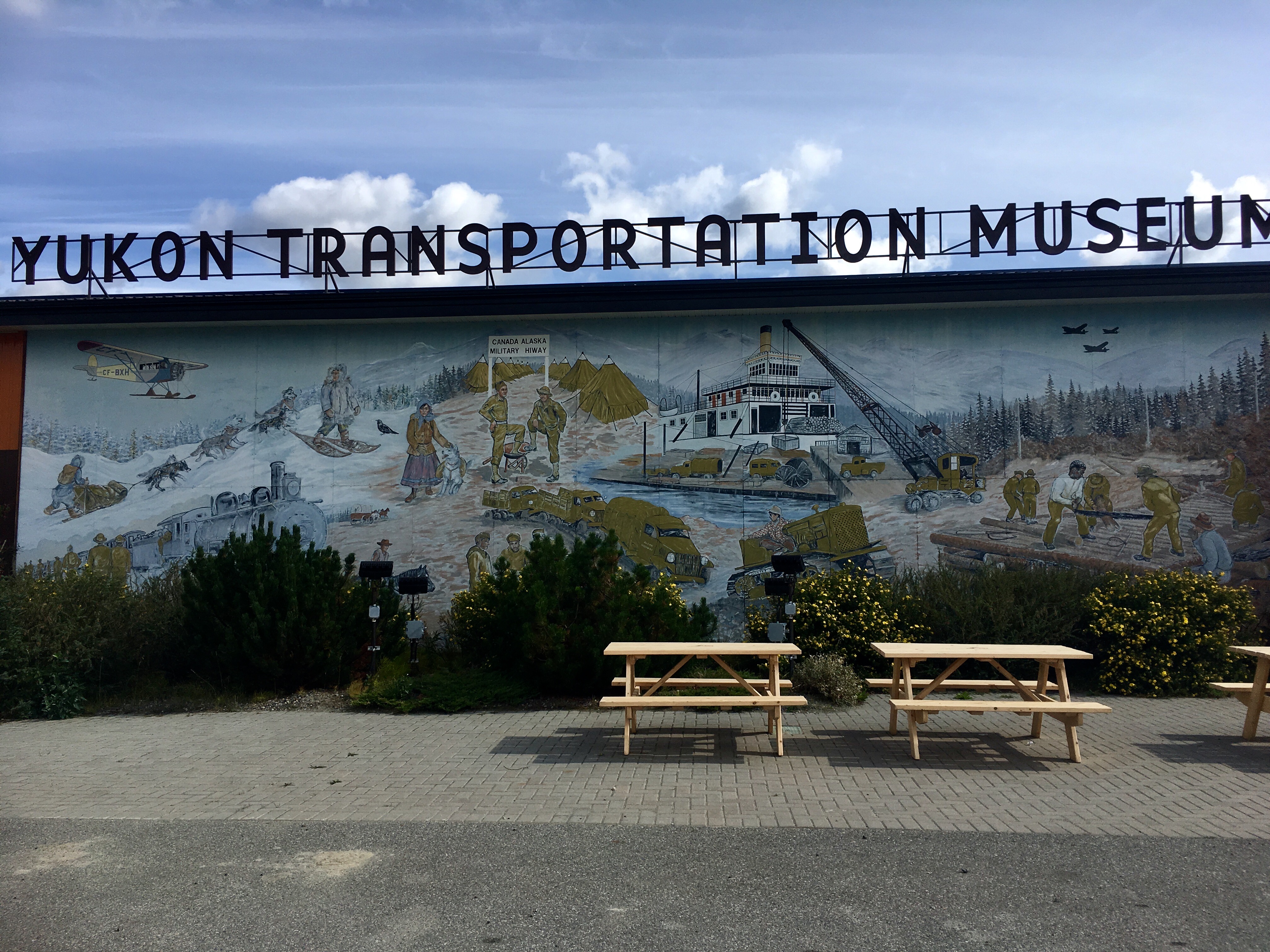
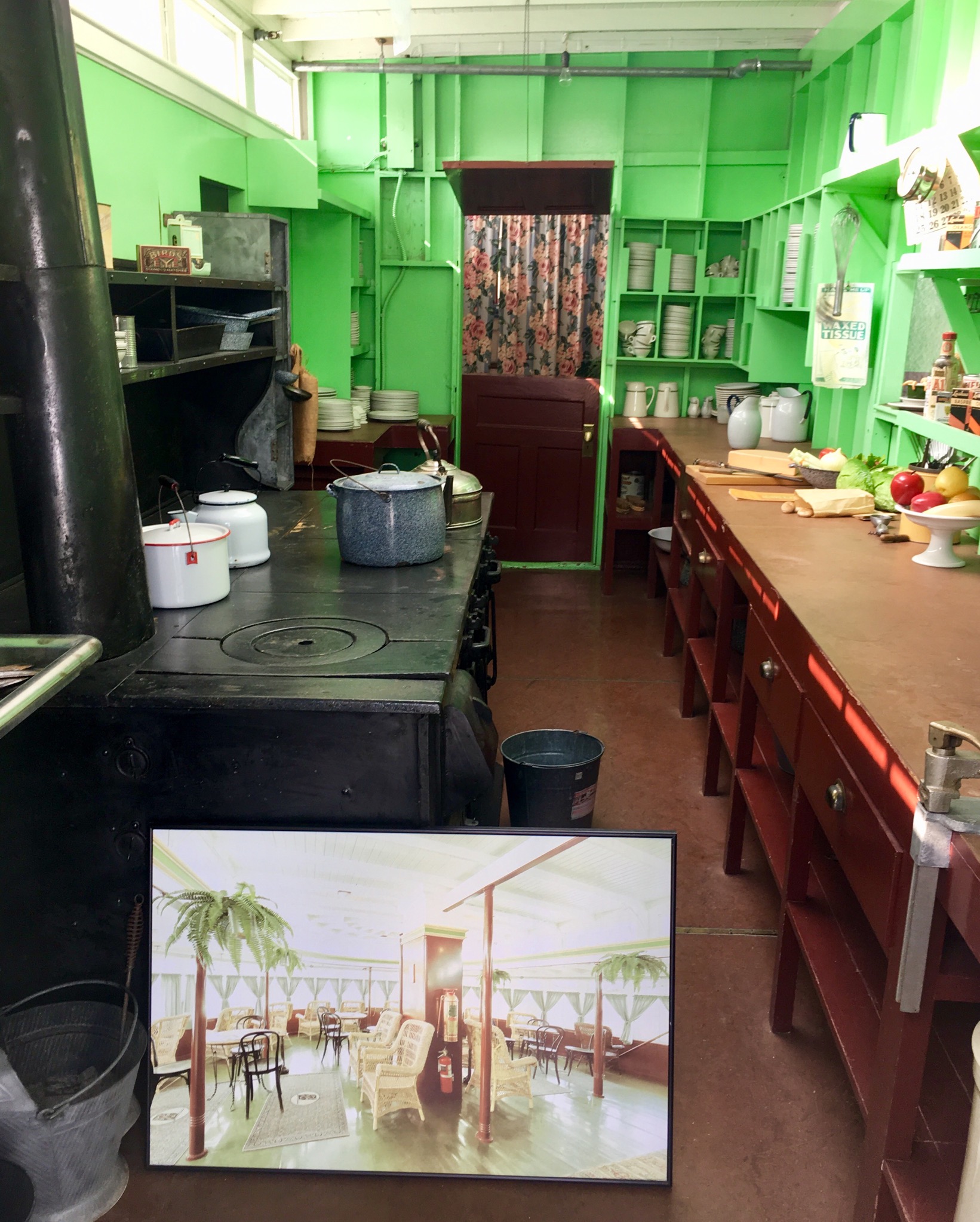
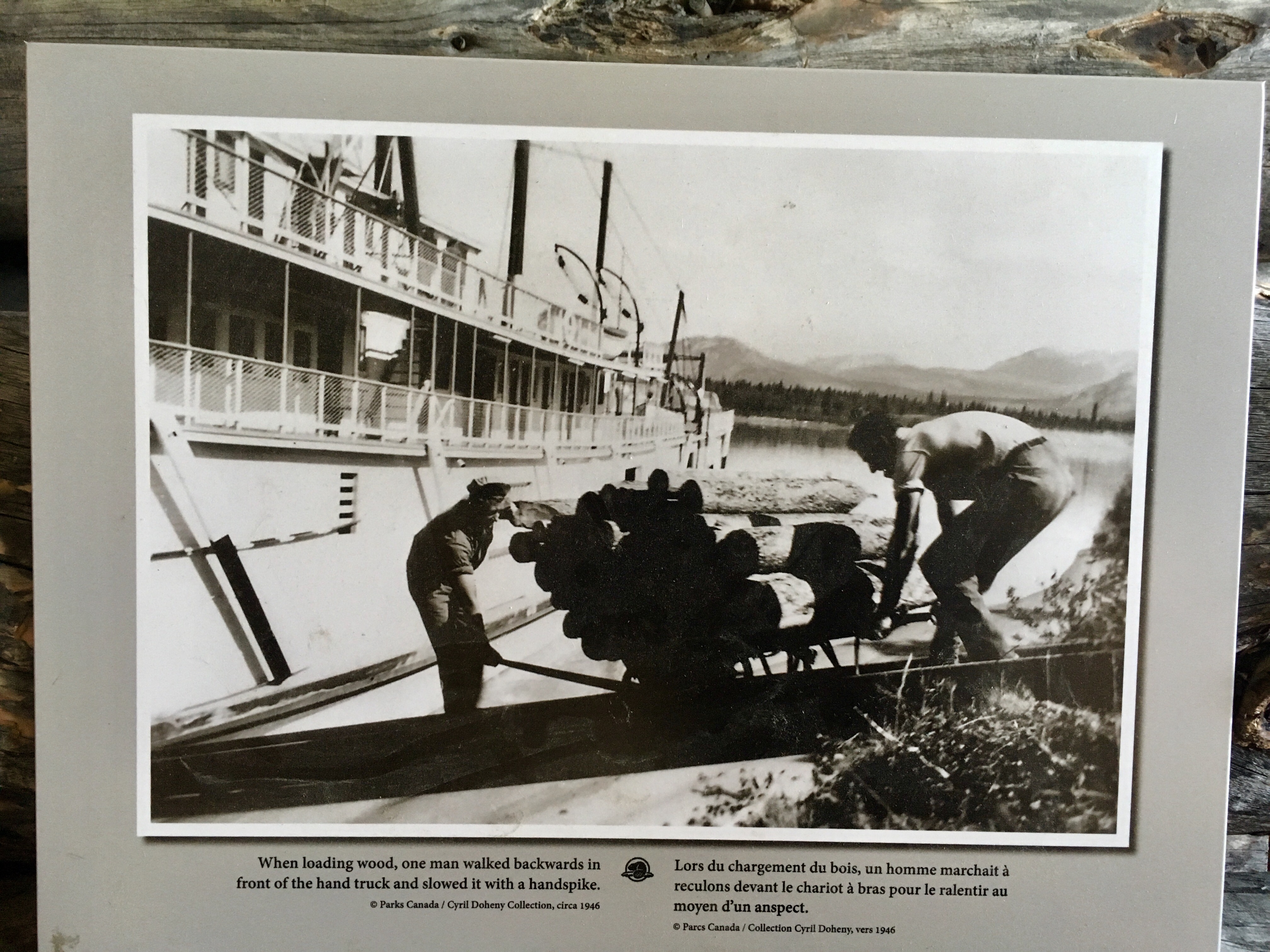
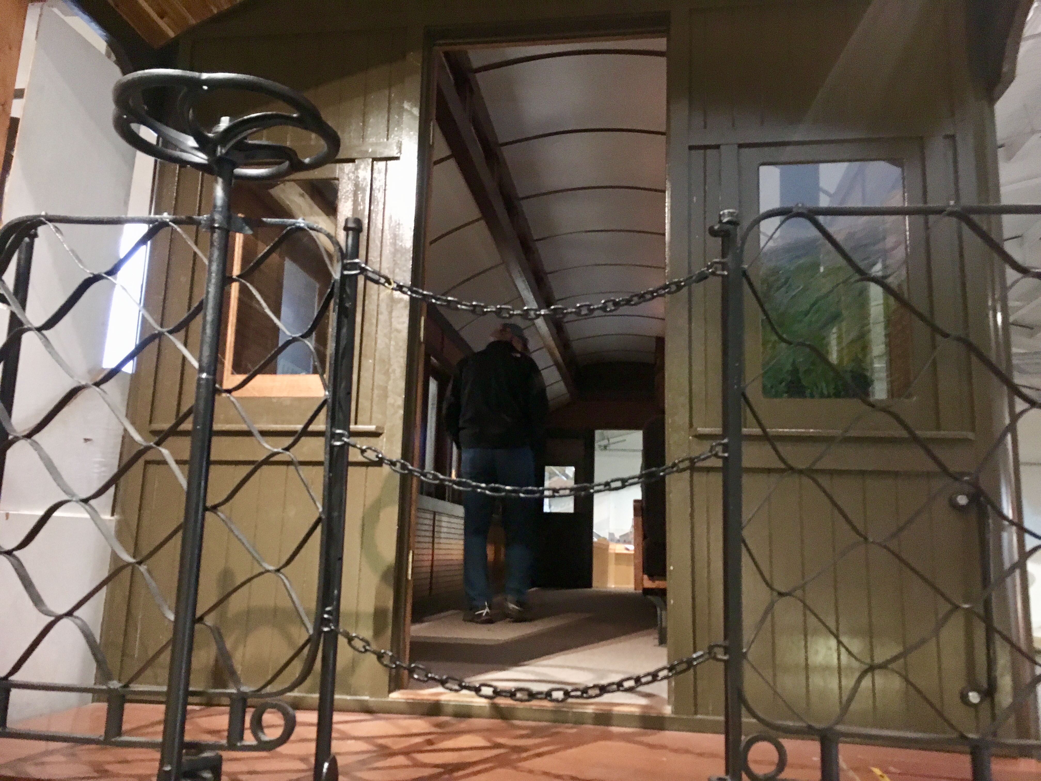
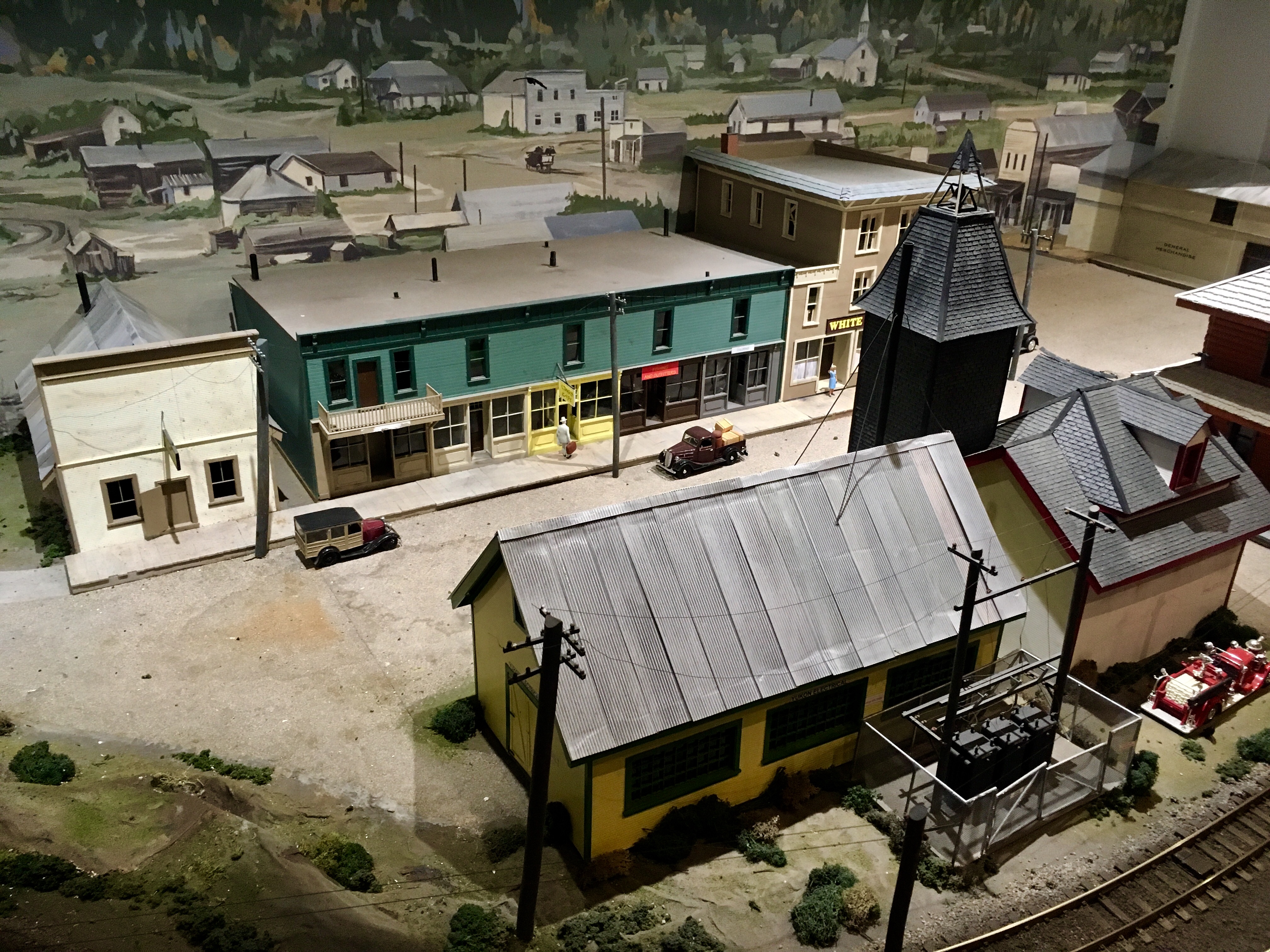
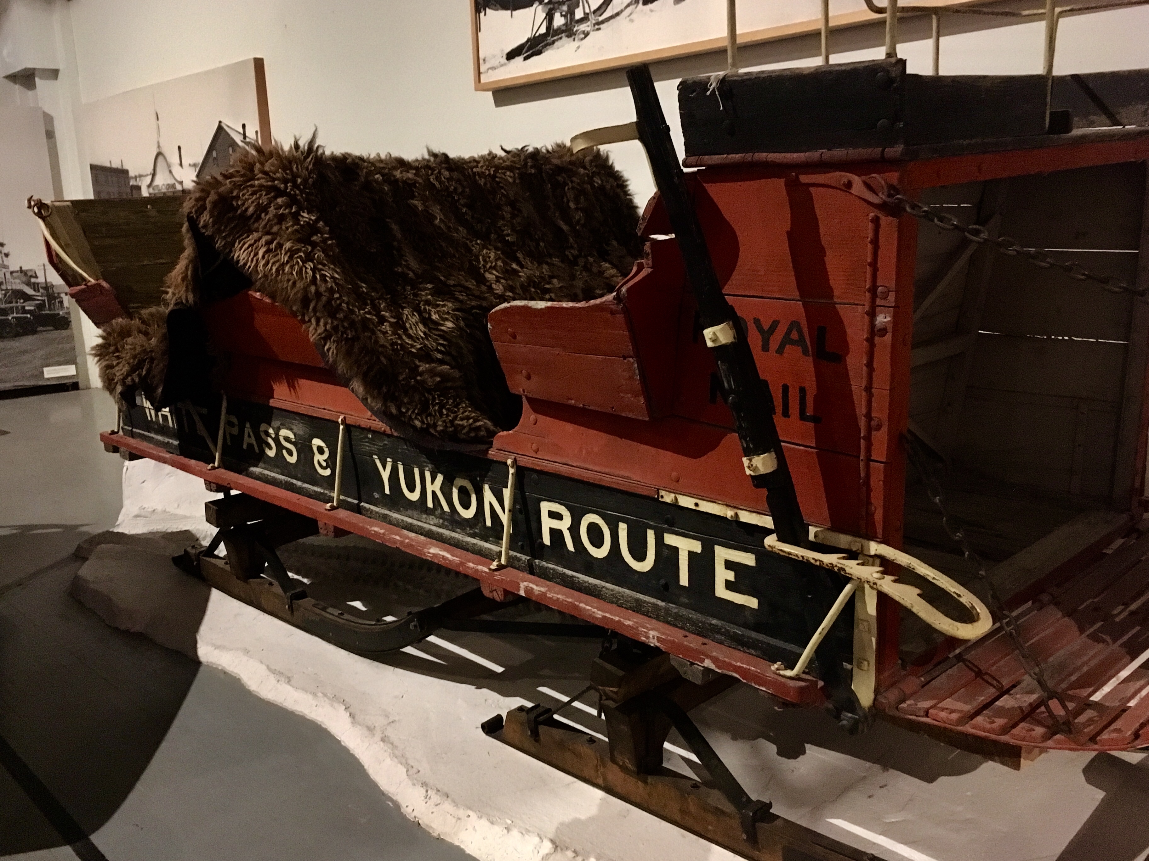
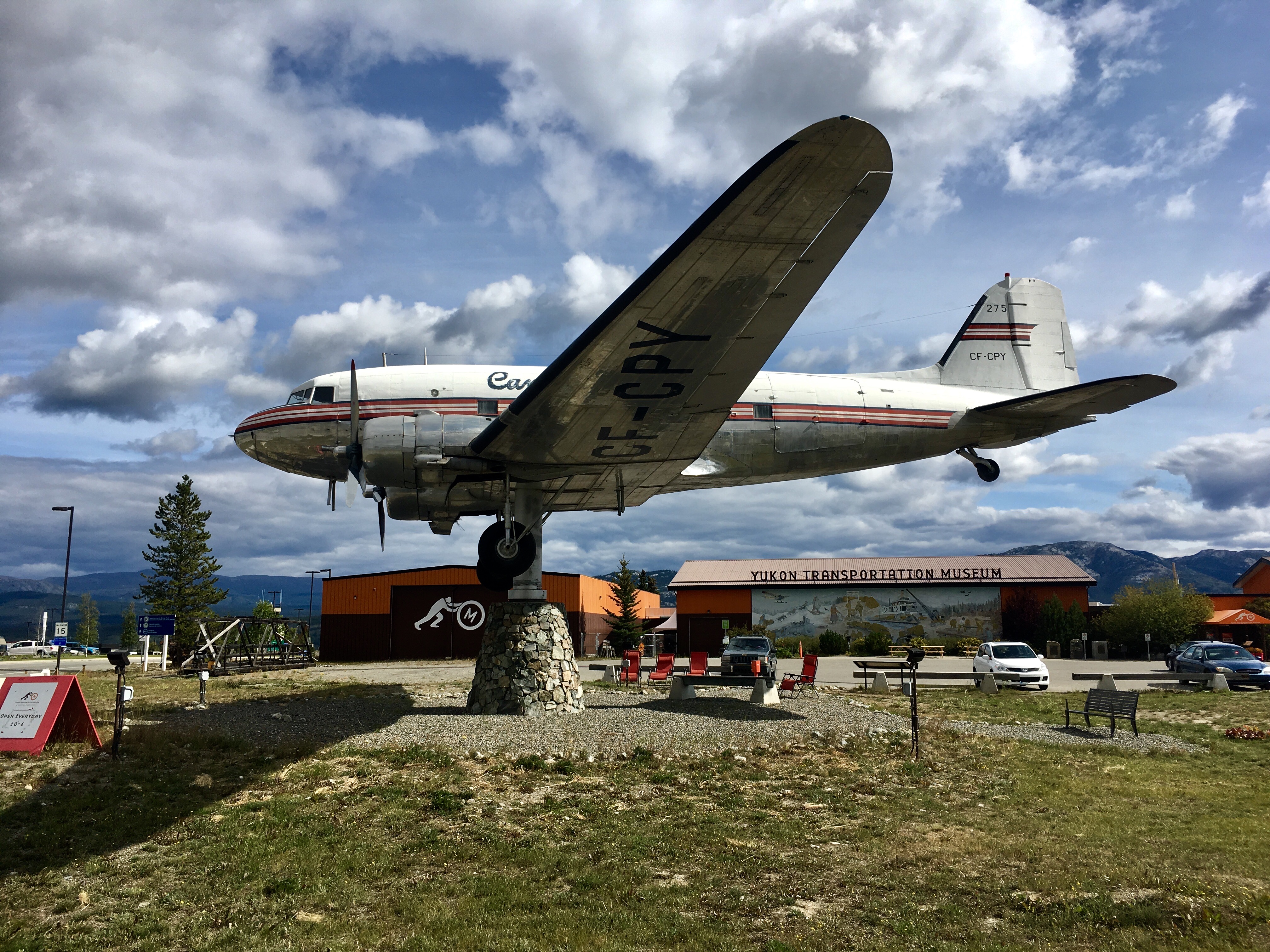
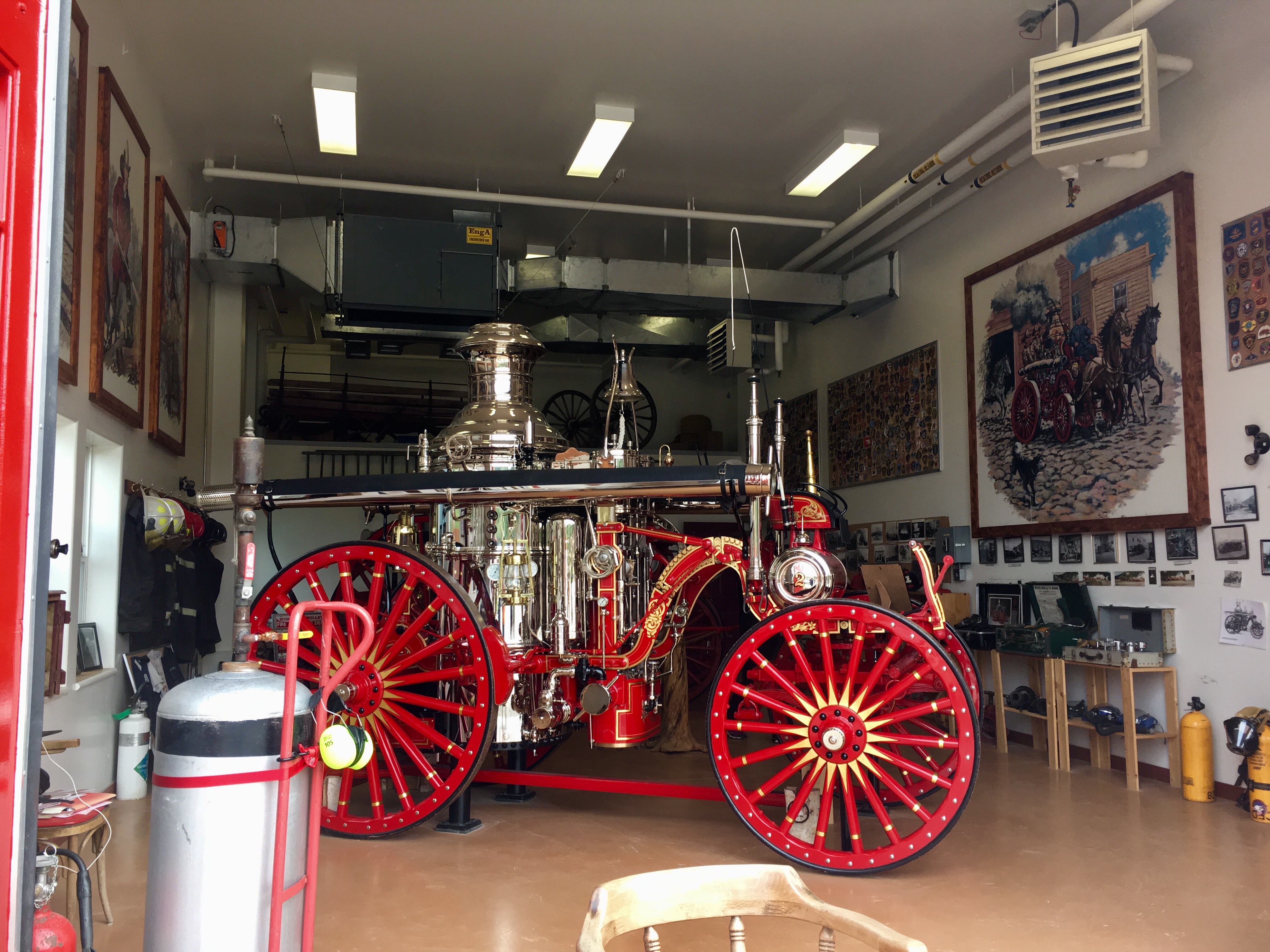
One of the cool spots in Whitehorse was the transportation museum. Just trying to picture the conditions back in the gold rush days is hard enough. Then trying to imagine getting around and hauling cargo.

Looks pretty precarious, although it was probably very well built.
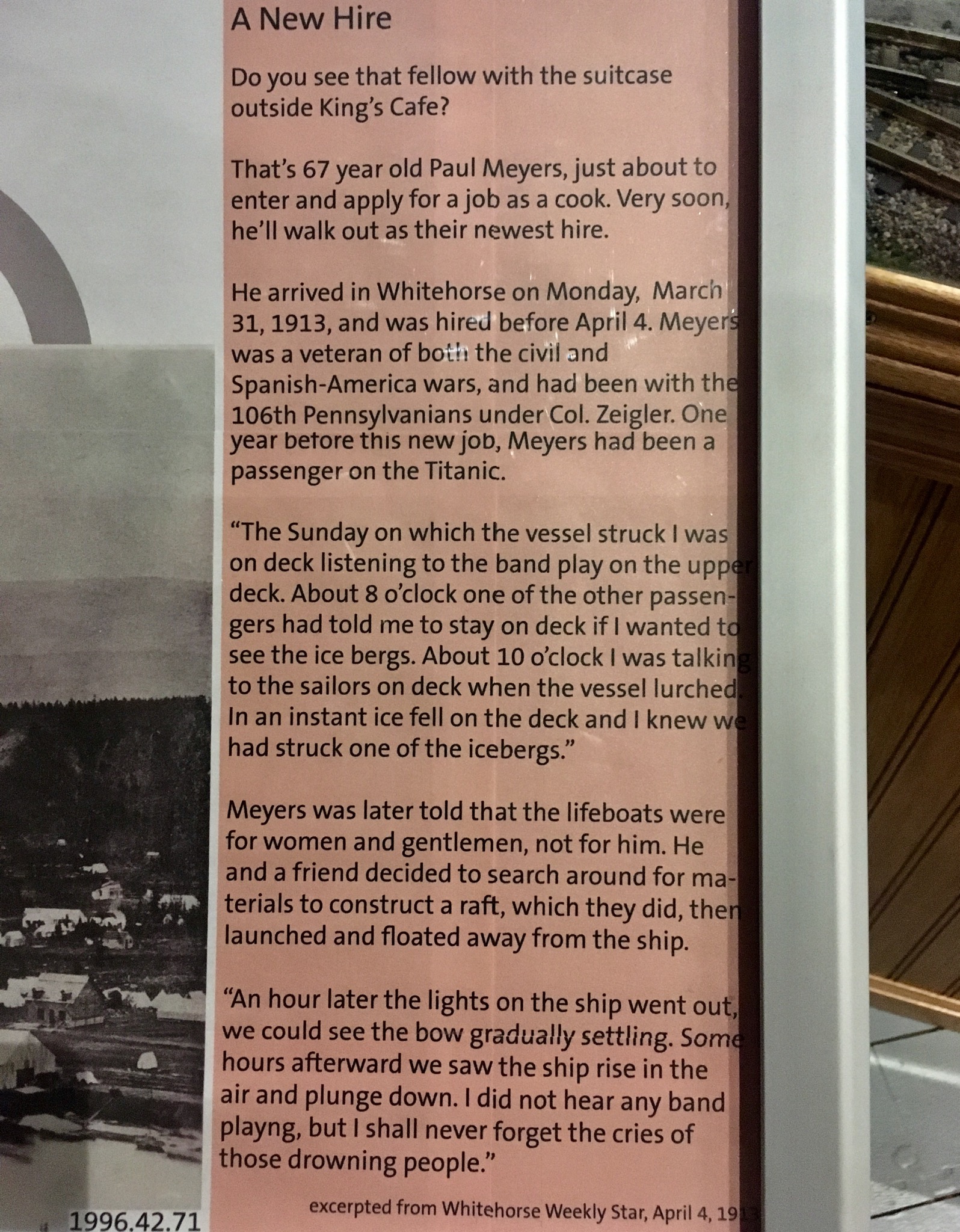
A fascinating story about a 67 year old man going in to a restaurant to apply for a job as a cook in the Yukon. He was also a survivor of the sinking of the Titanic. He was also a veteran of both the civil and the Spanish-American Wars. Talk about an interesting life! And starting a new chapter of his life in the Yukon at the age of 67!!
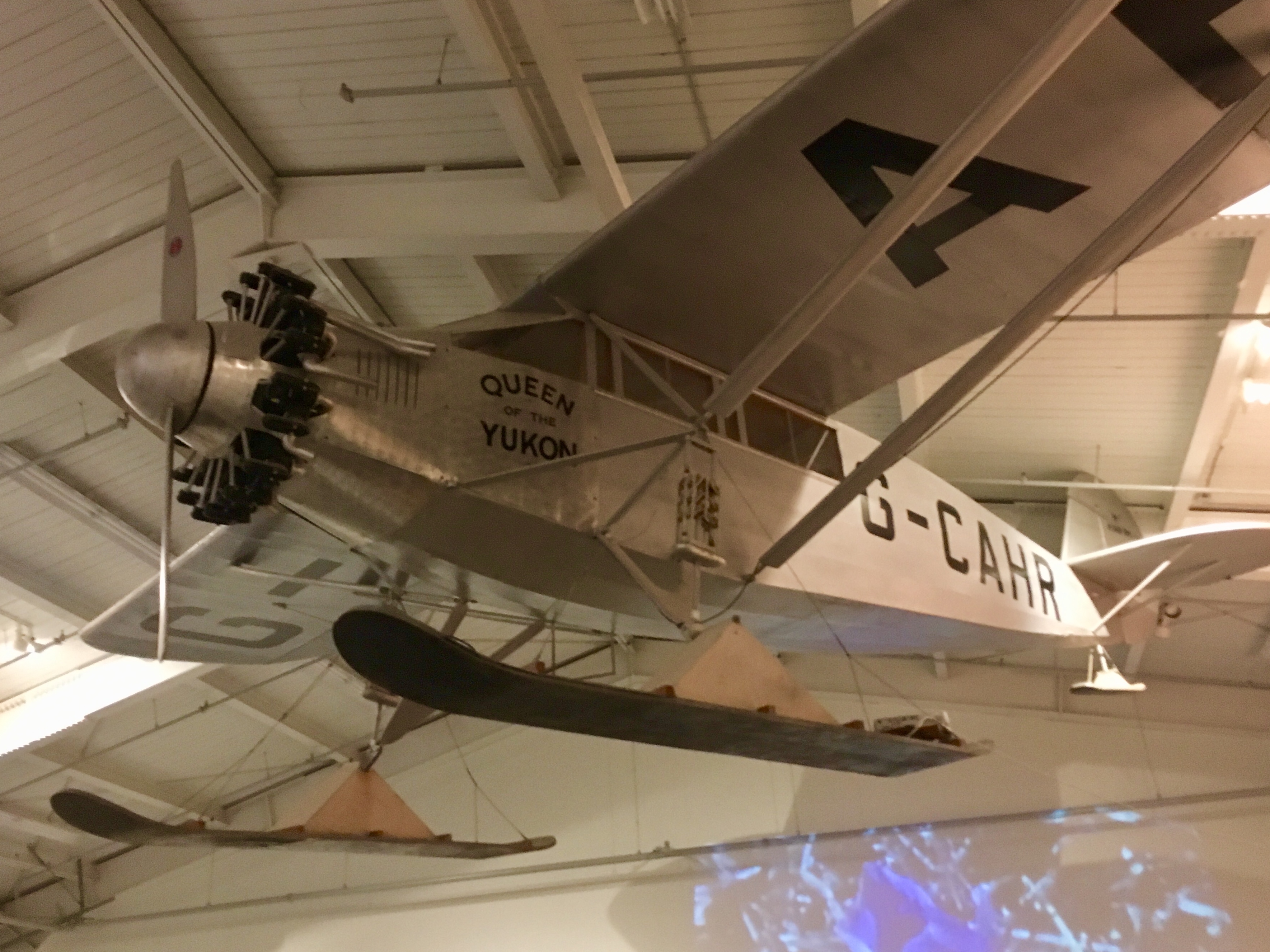
The sister ship (plane) of the Spirit of St Louis! A surprising find.
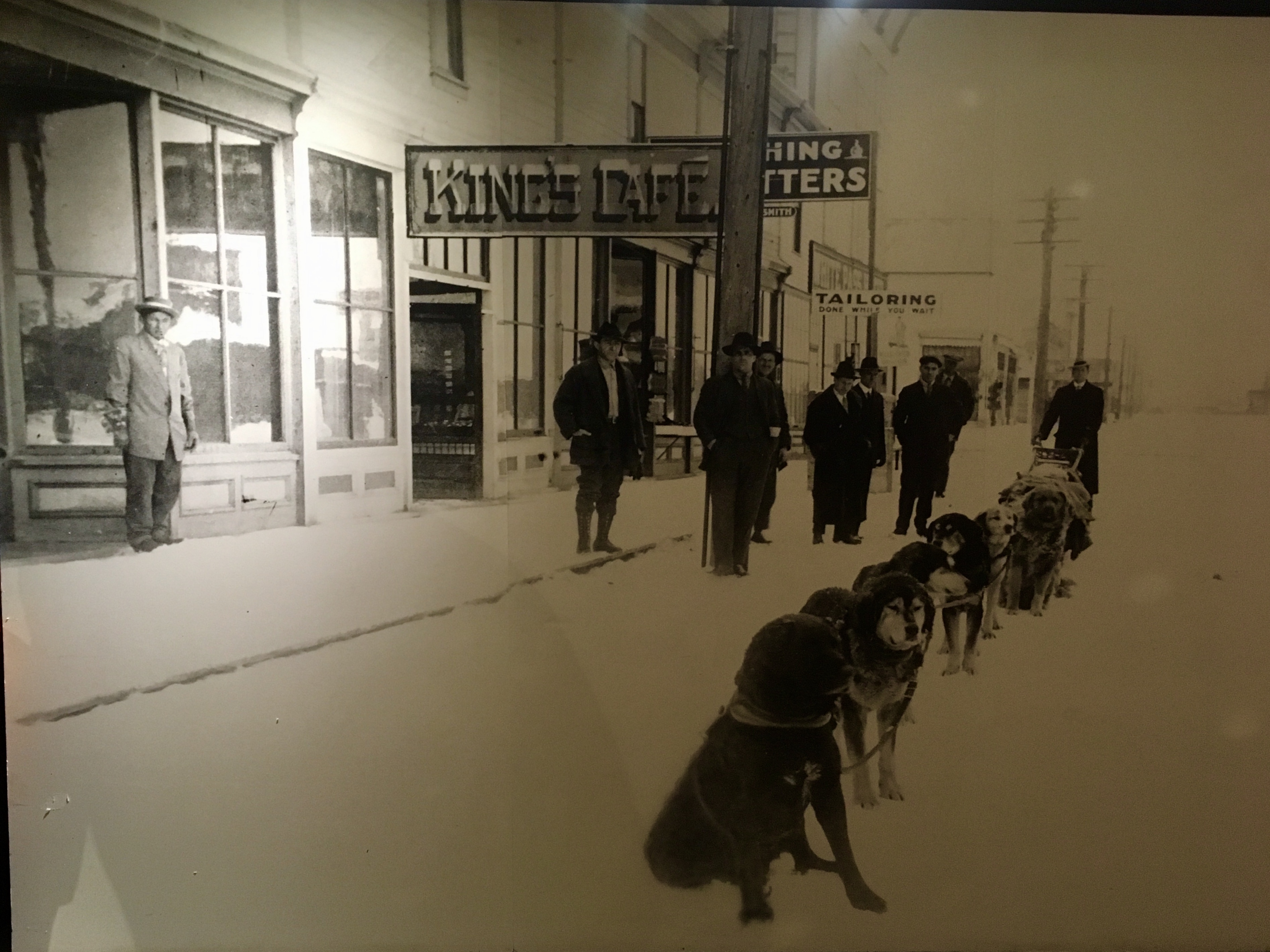
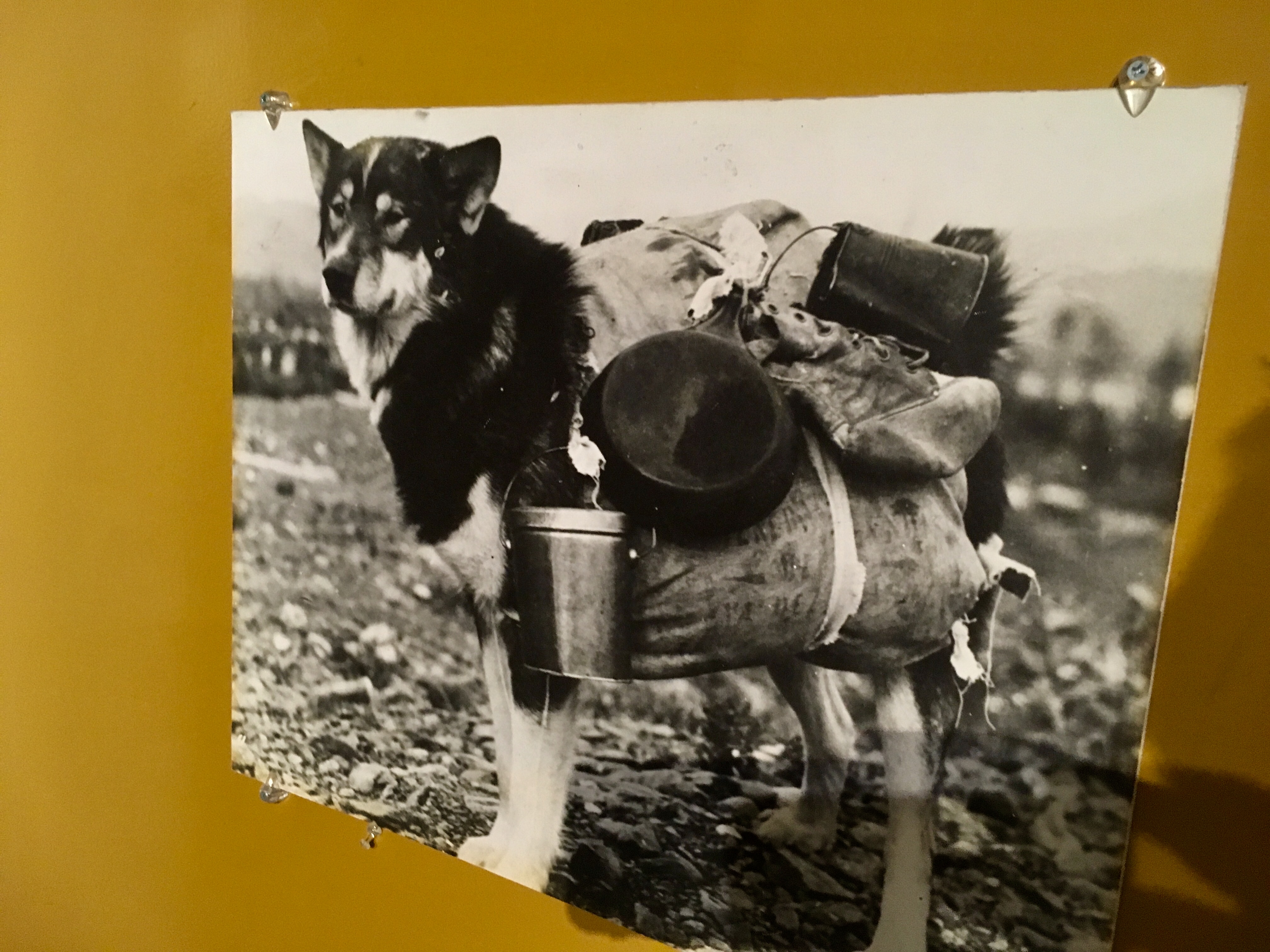
More sled dogs. They were (and still are) a vital part of the Yukon!
Maybe a bit too much?

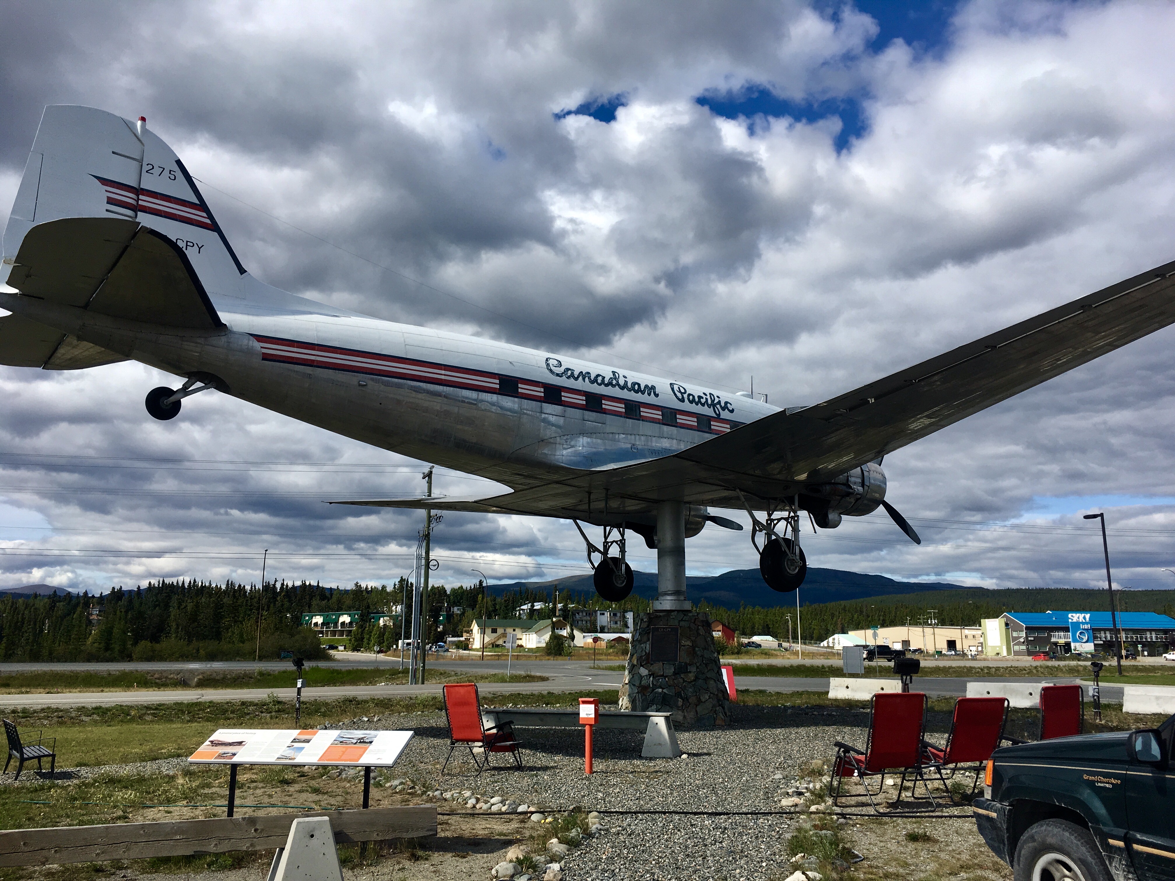
The worlds largest wind vane. An old DC3, restored and then mounted on a pedestal allowing it to swivel with the wind, making it a working wind vane!
But if not…
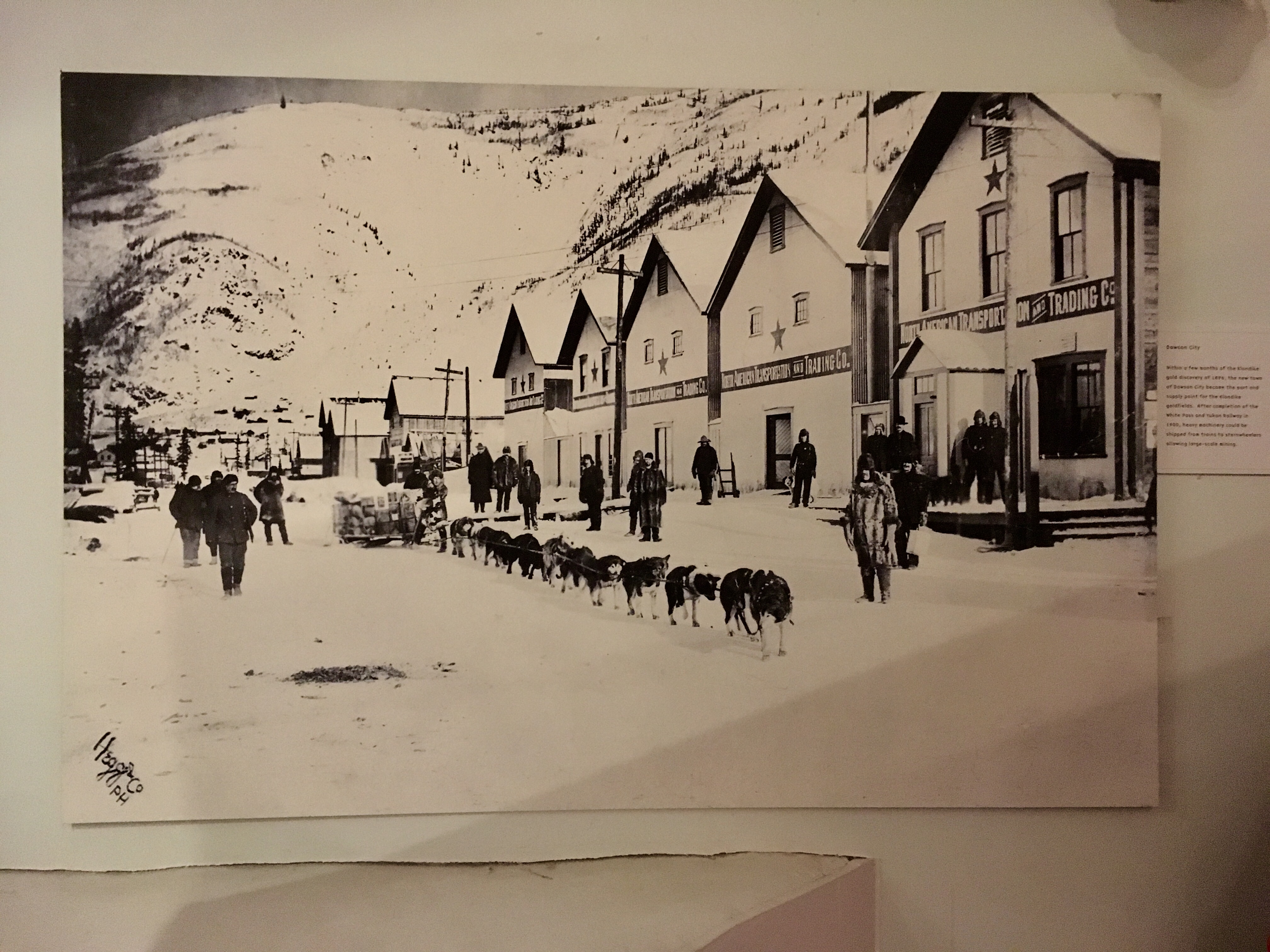
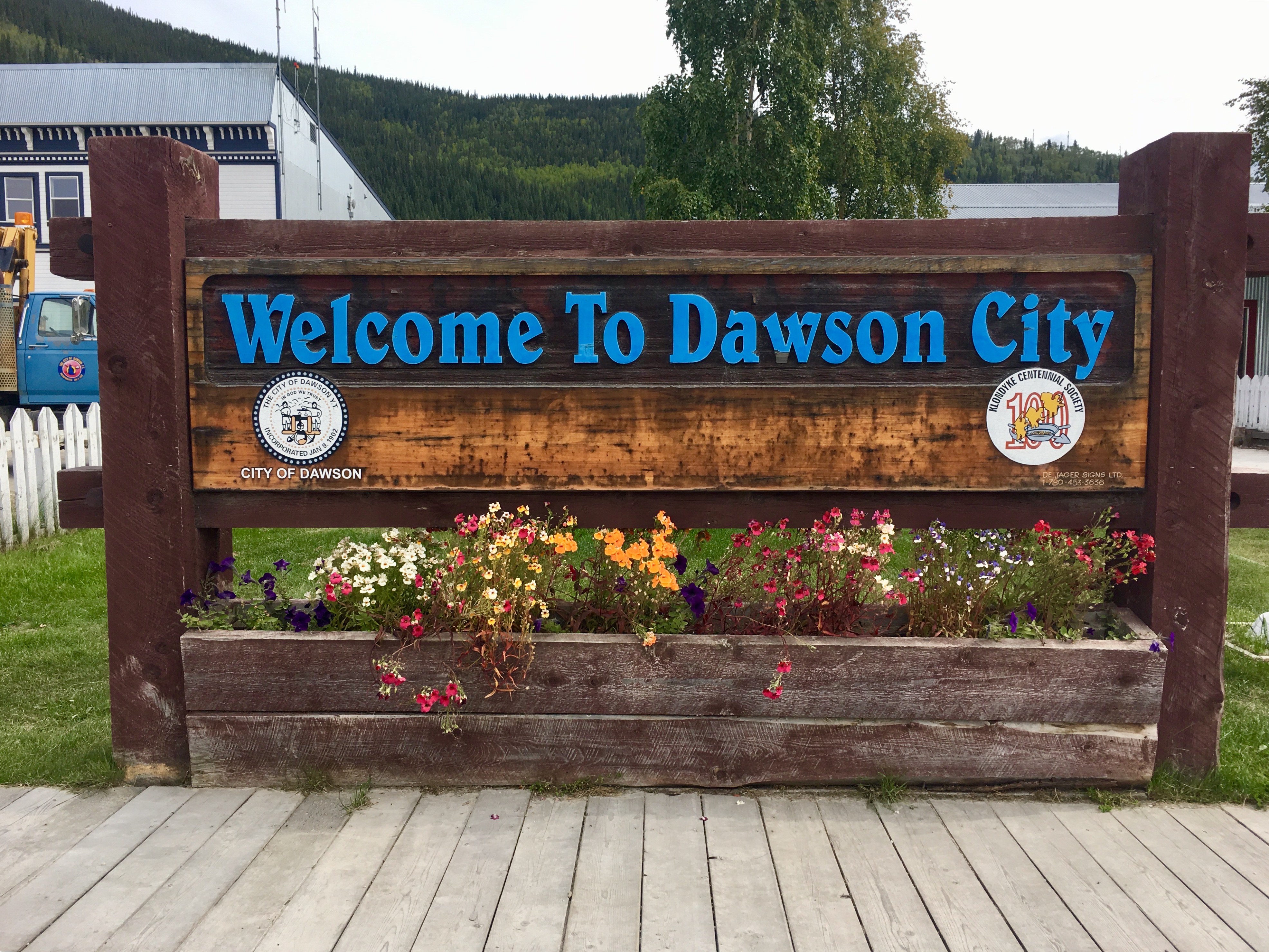
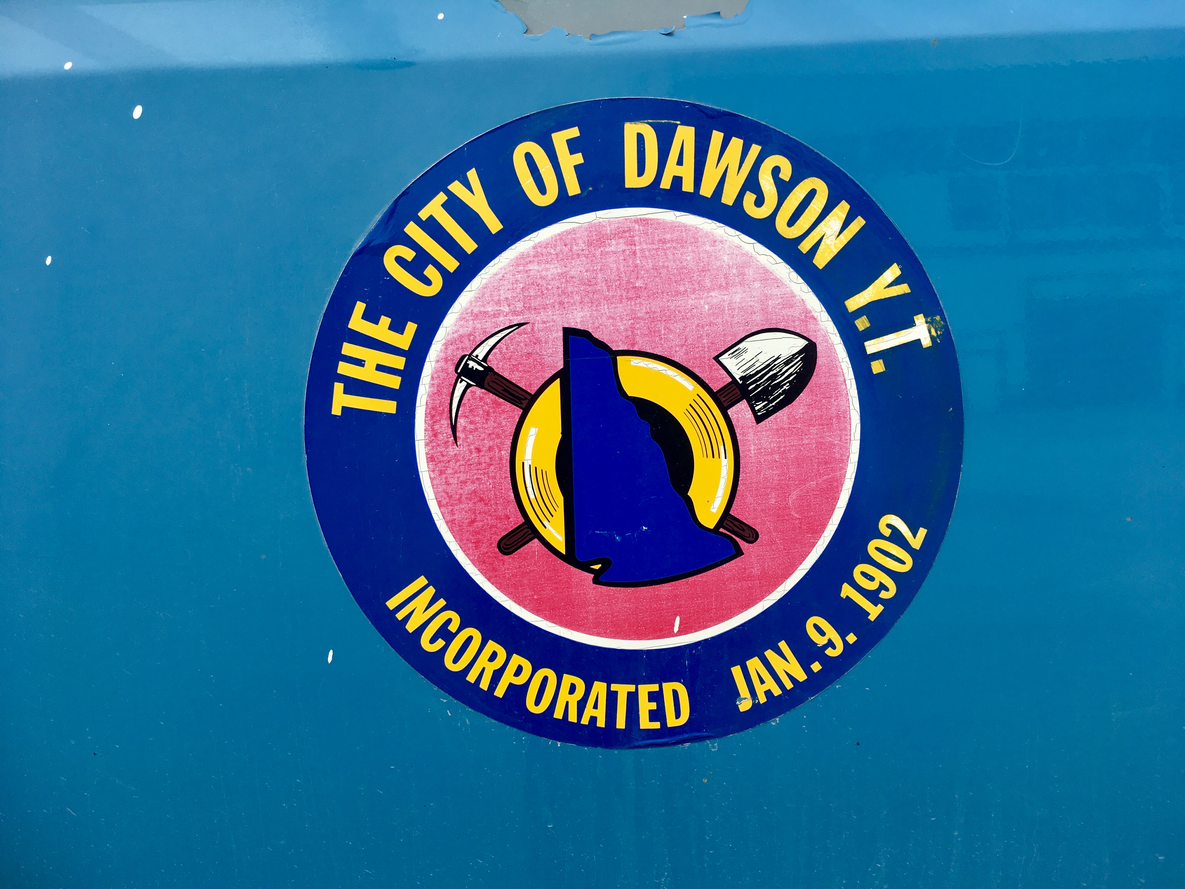
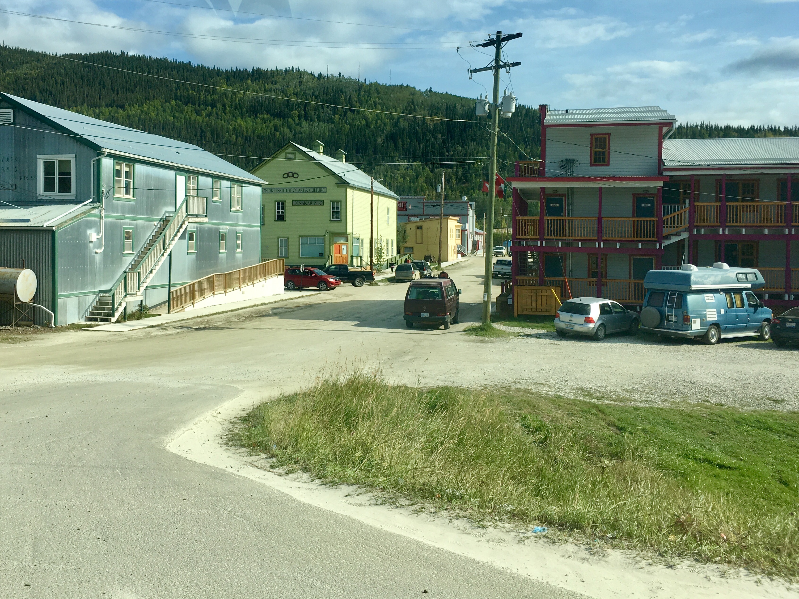
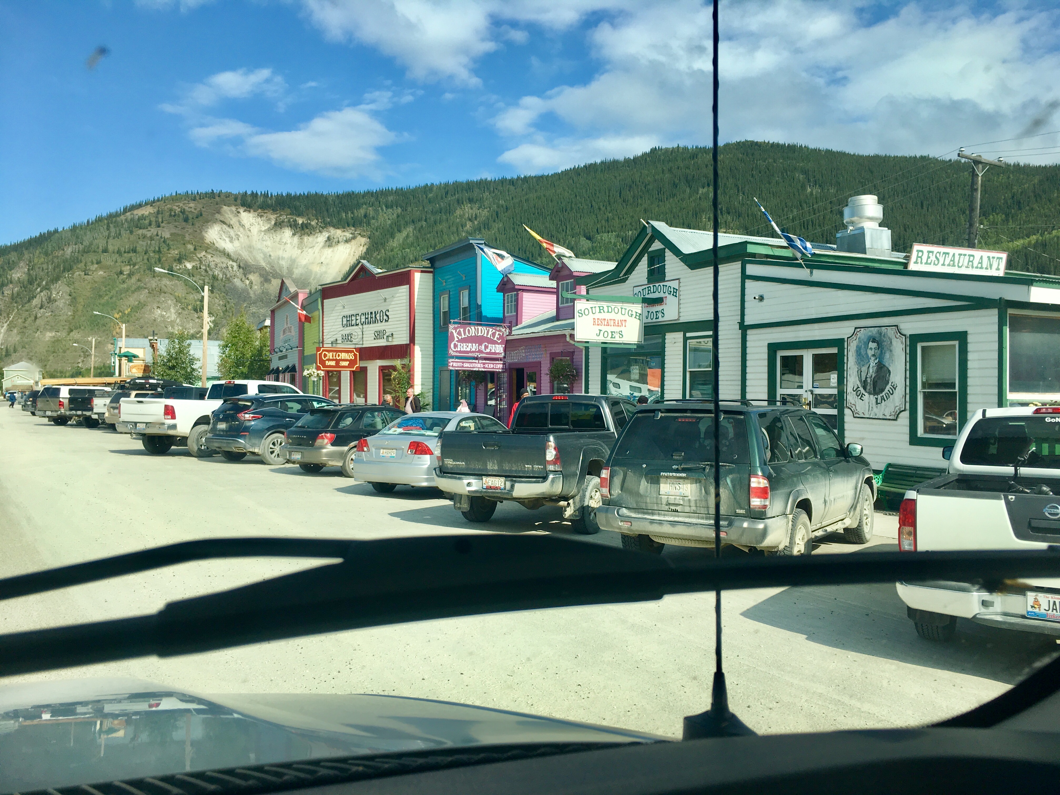
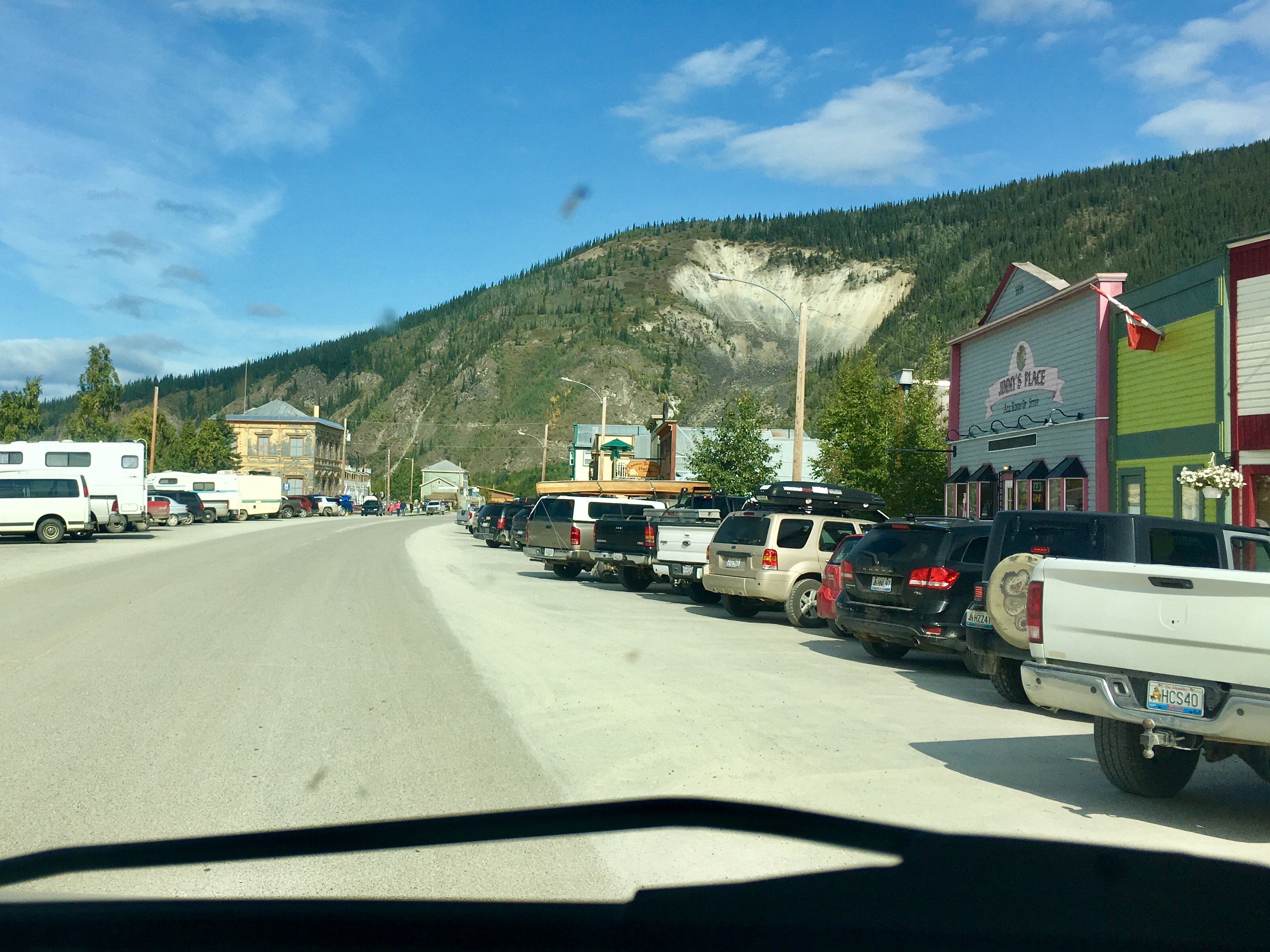
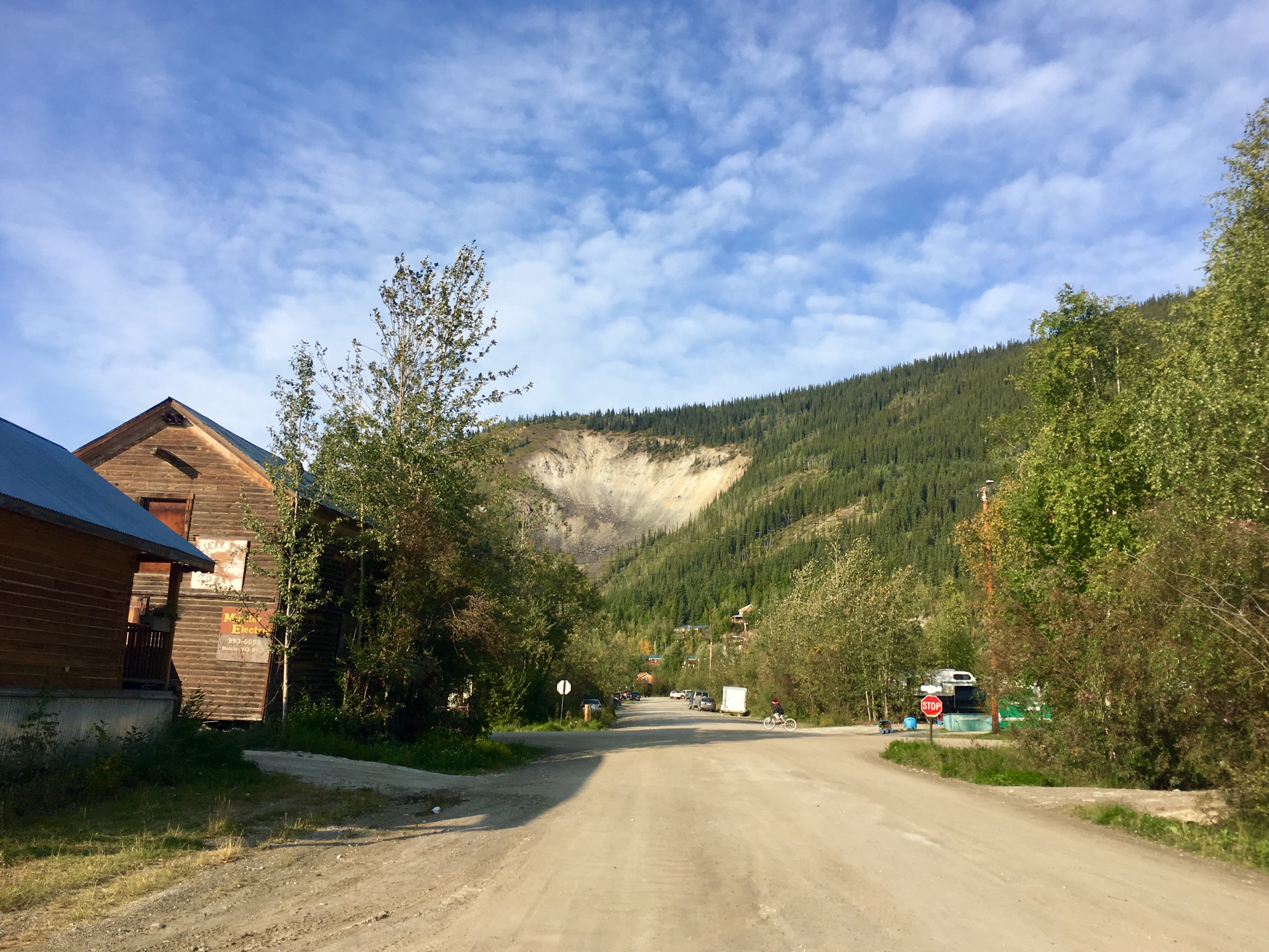
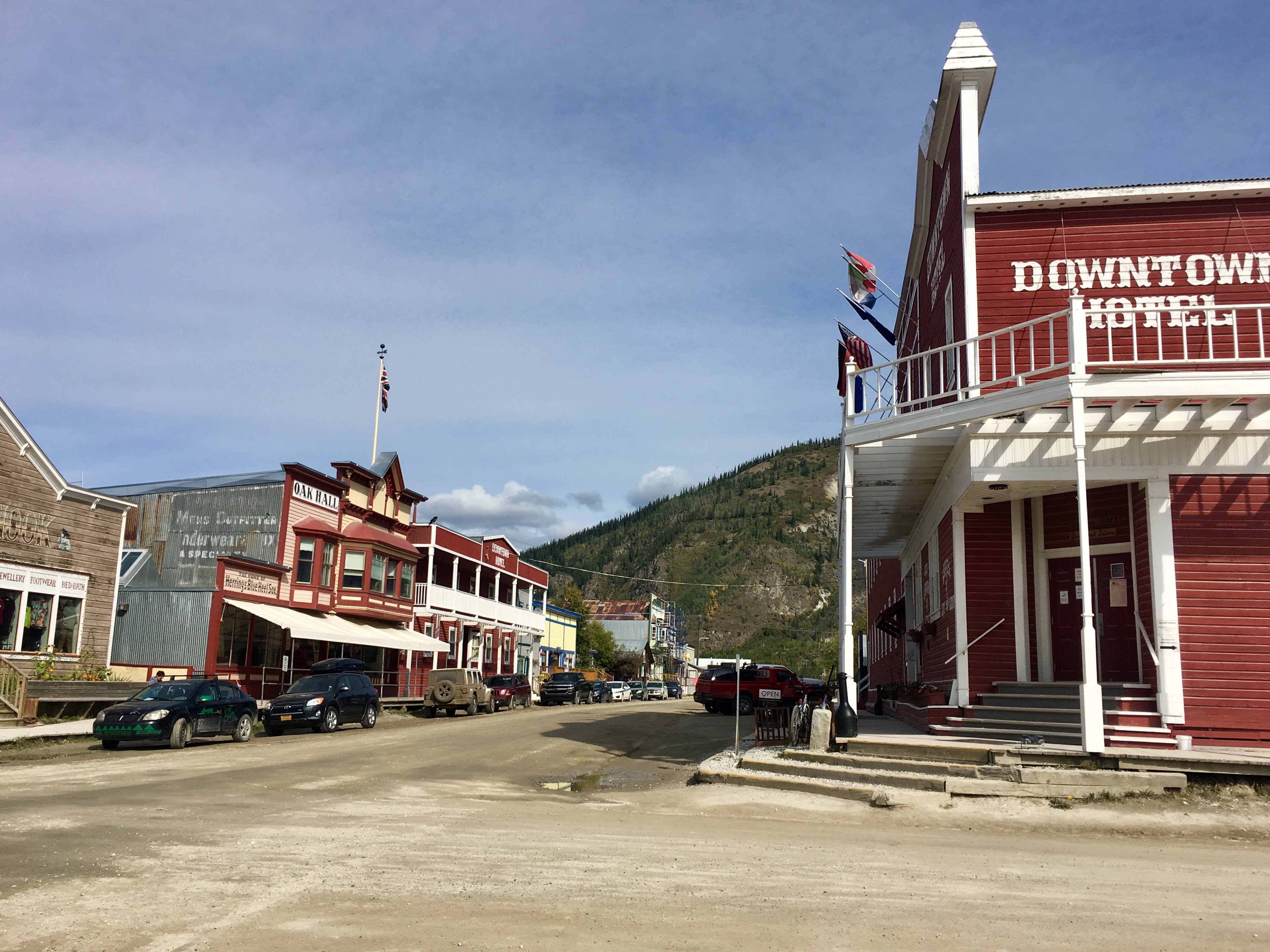
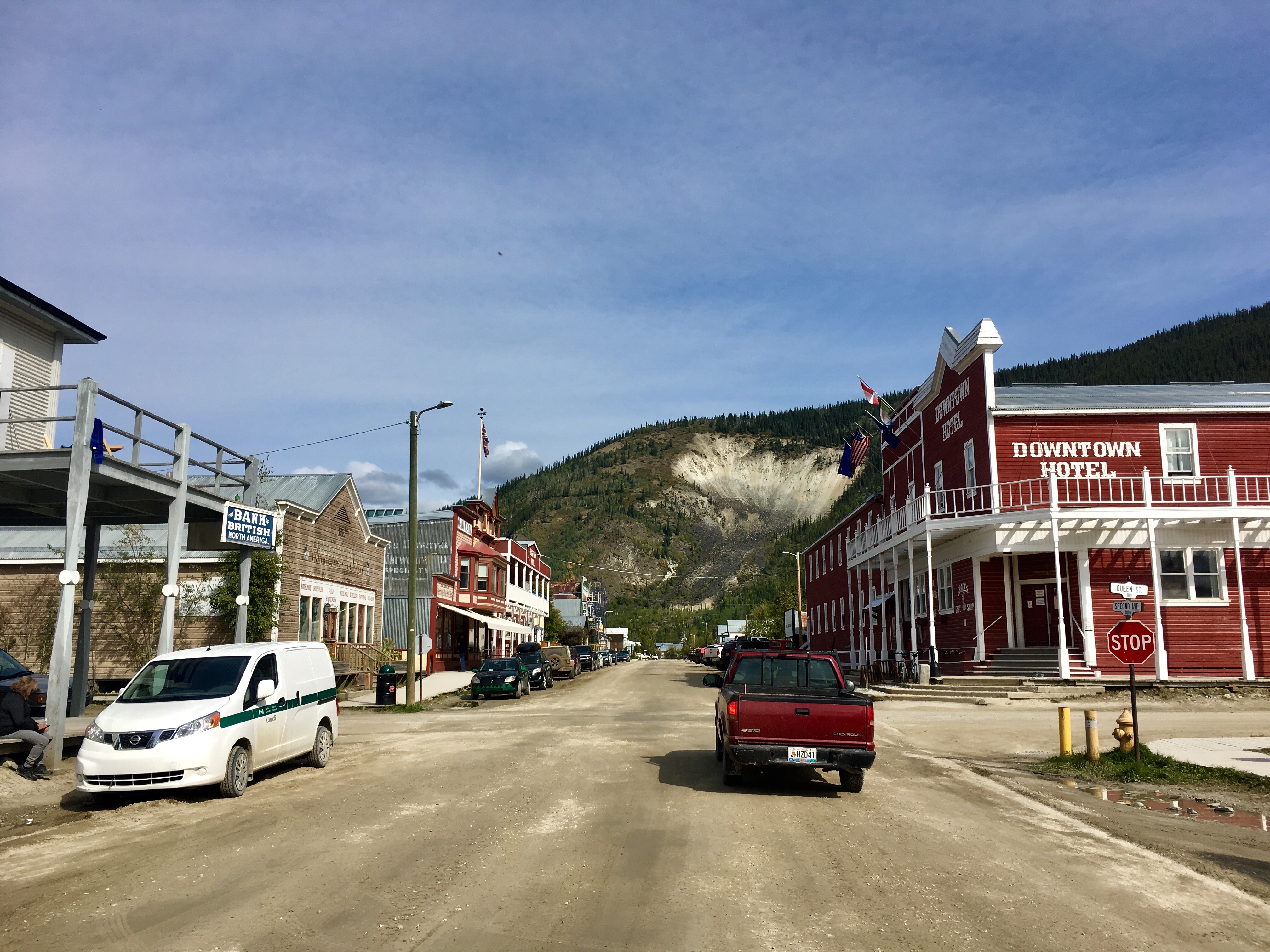
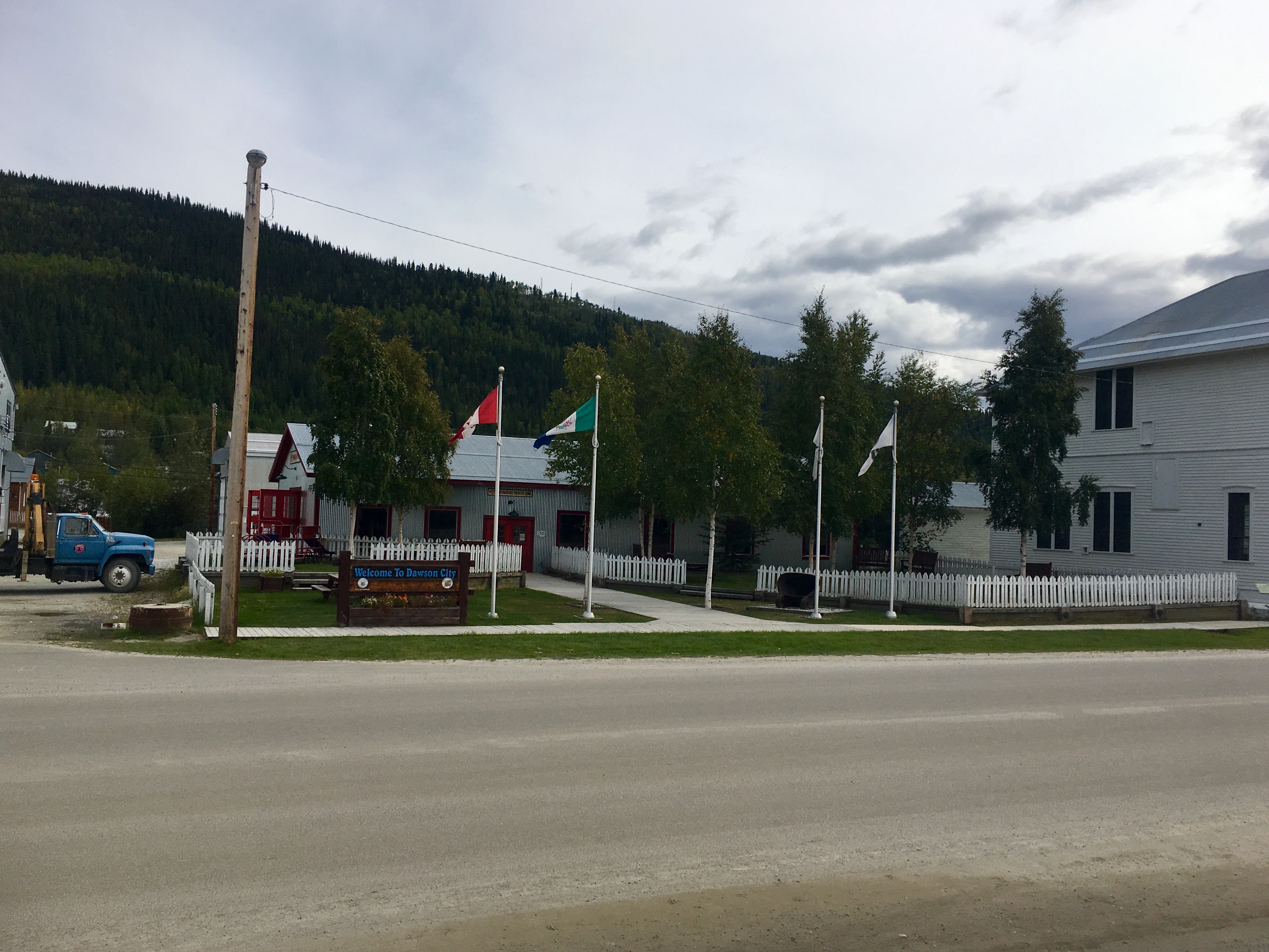
Our side trip up to Dawson City, Yukon was great!! Definitely on the must-see list and the do-it-again lists.
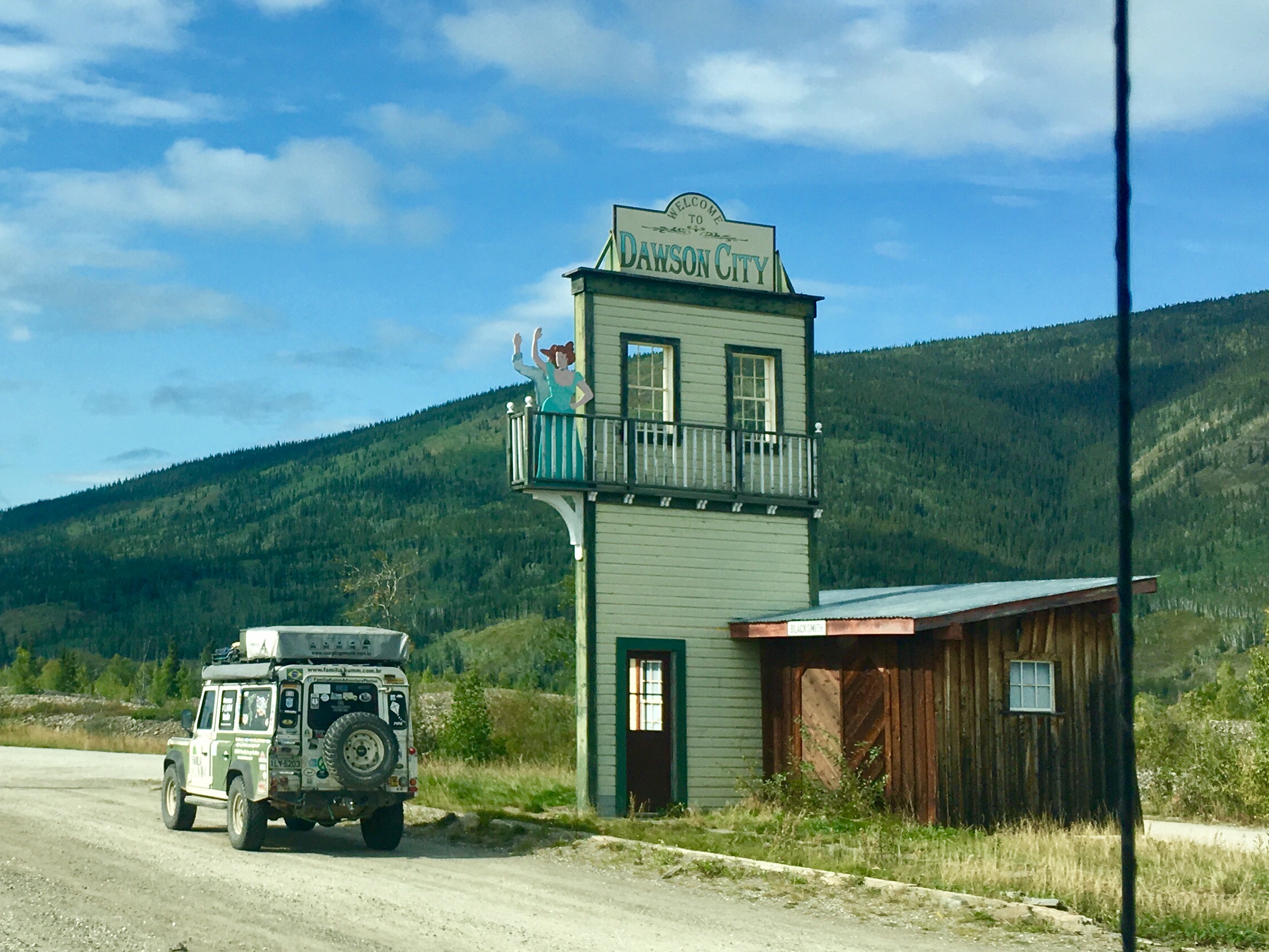
Even the signs are unique…
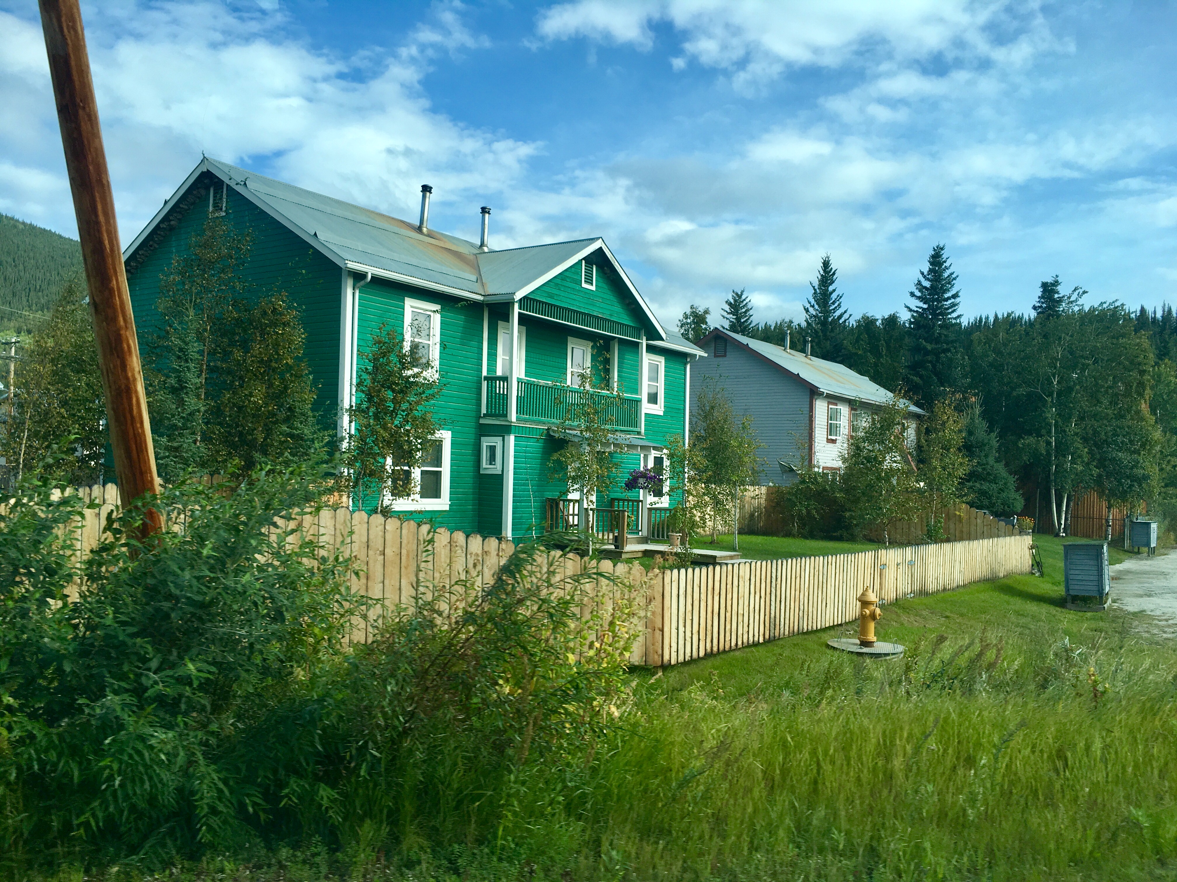
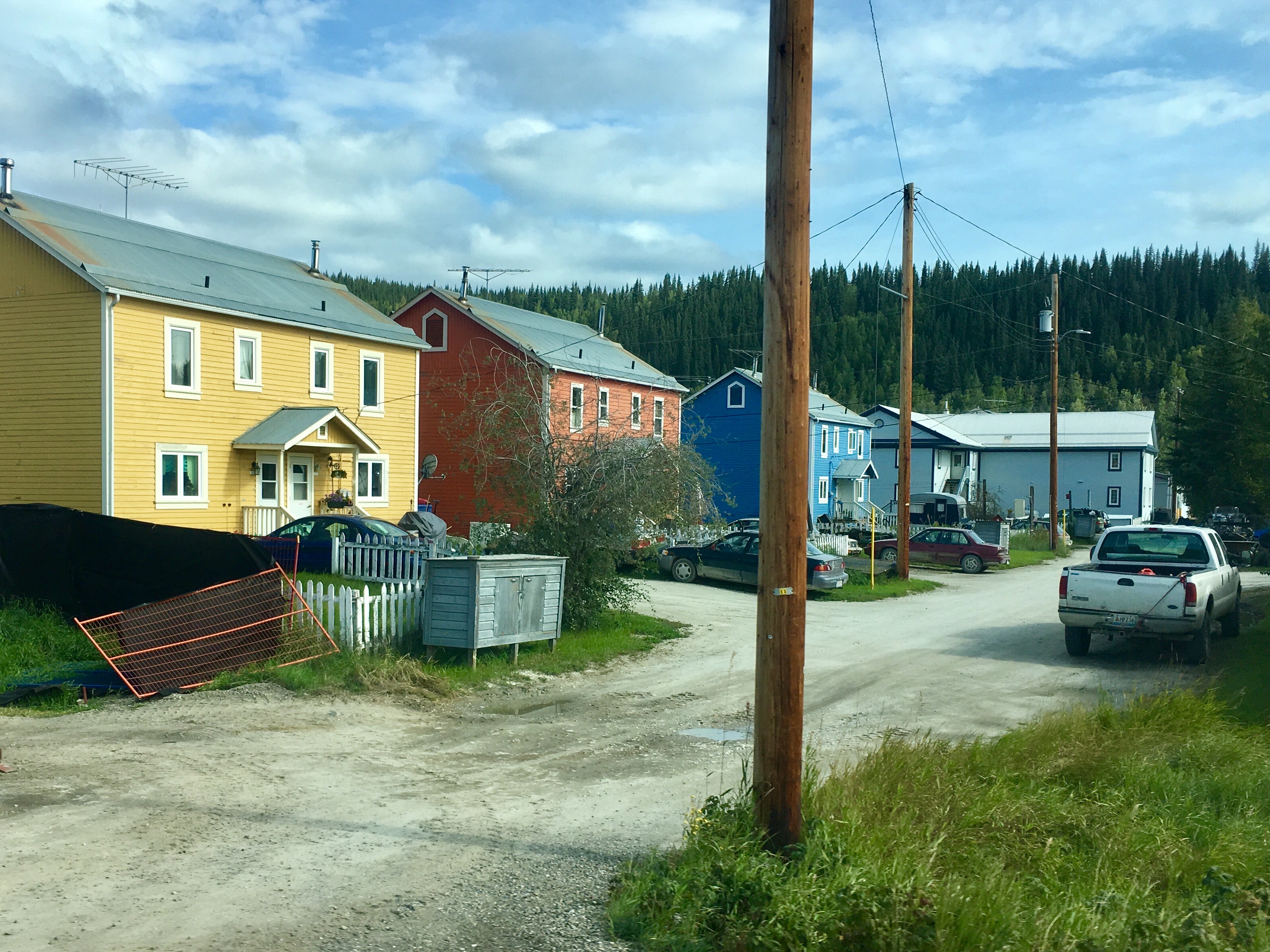
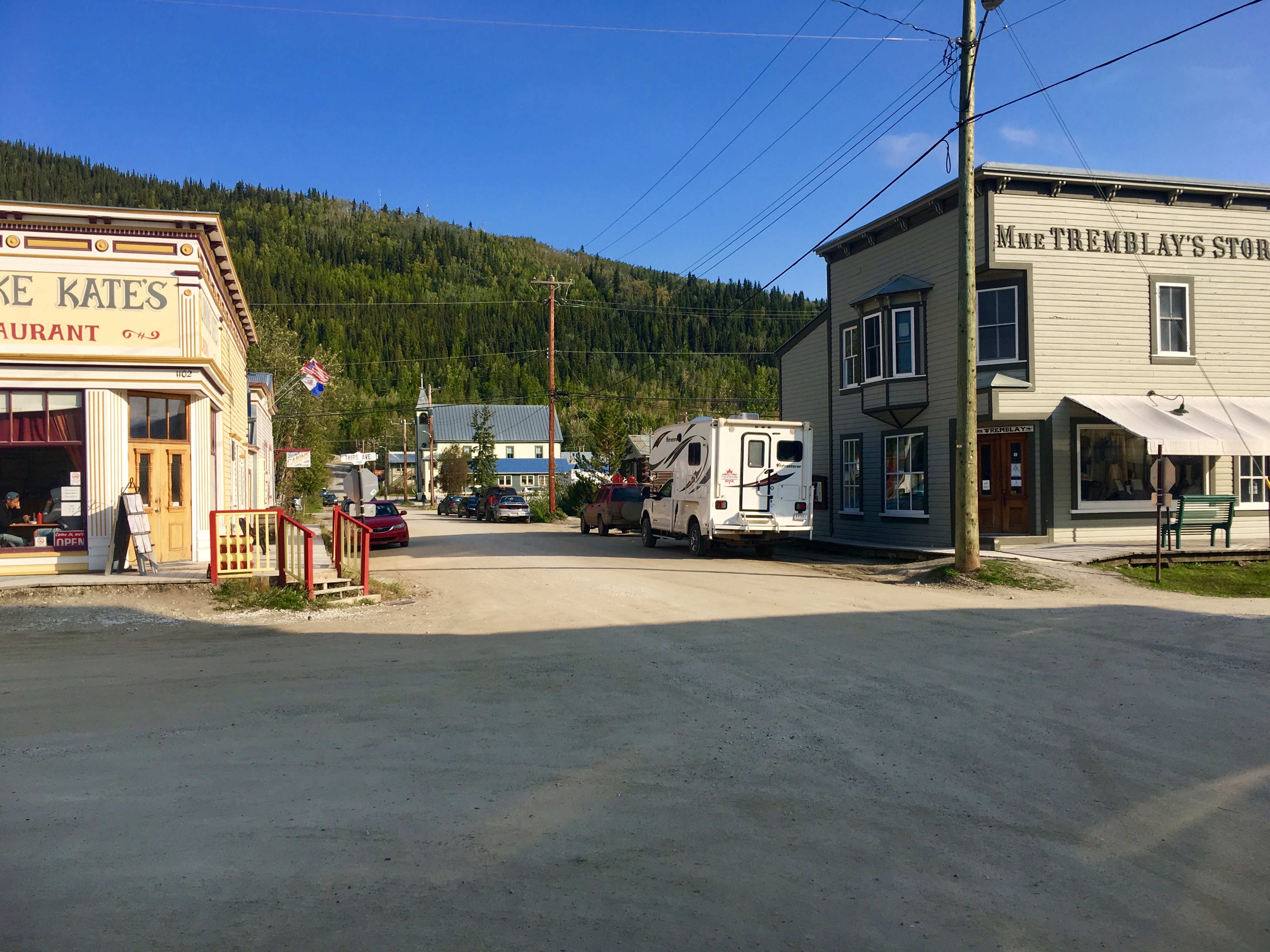
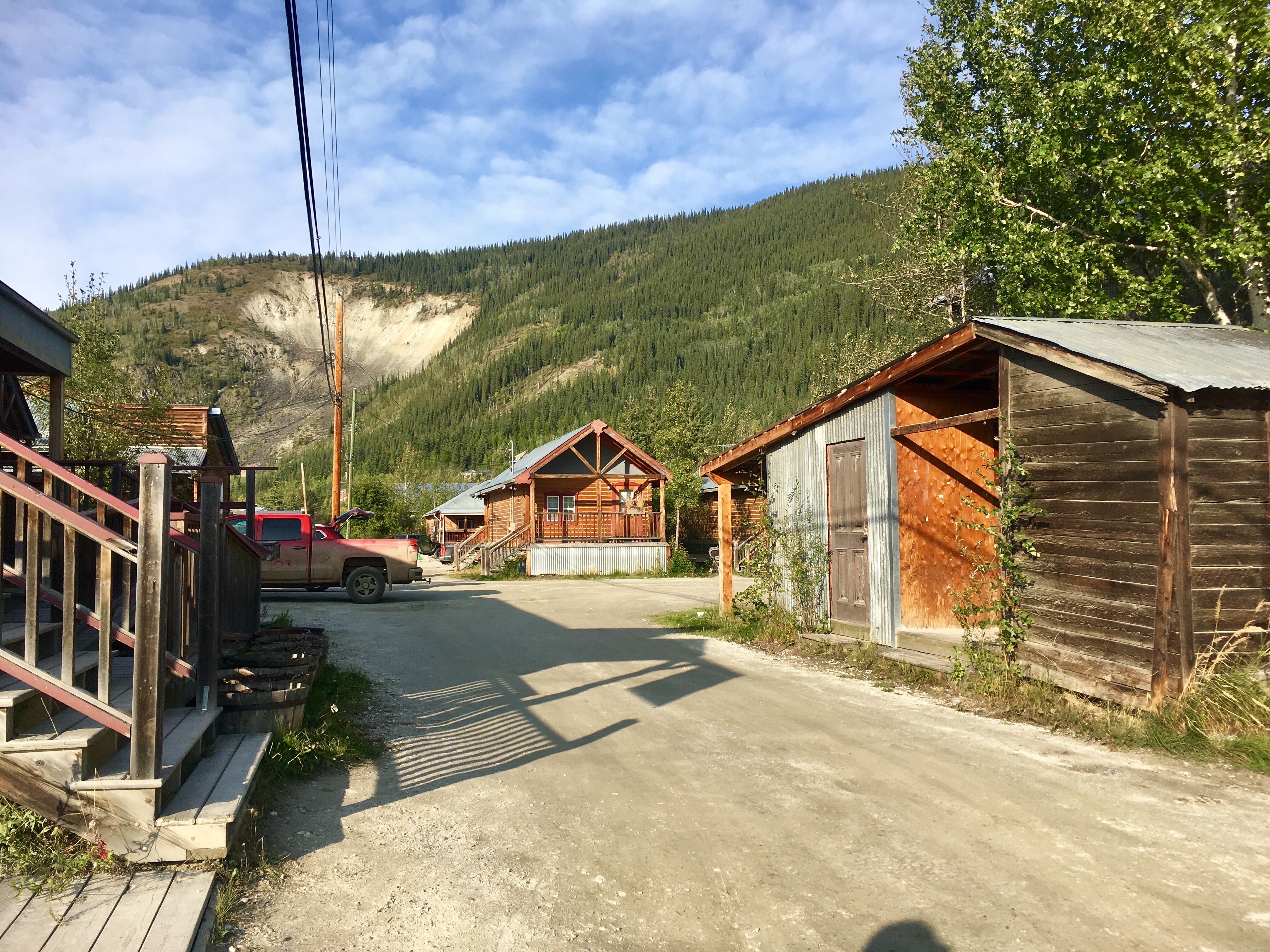
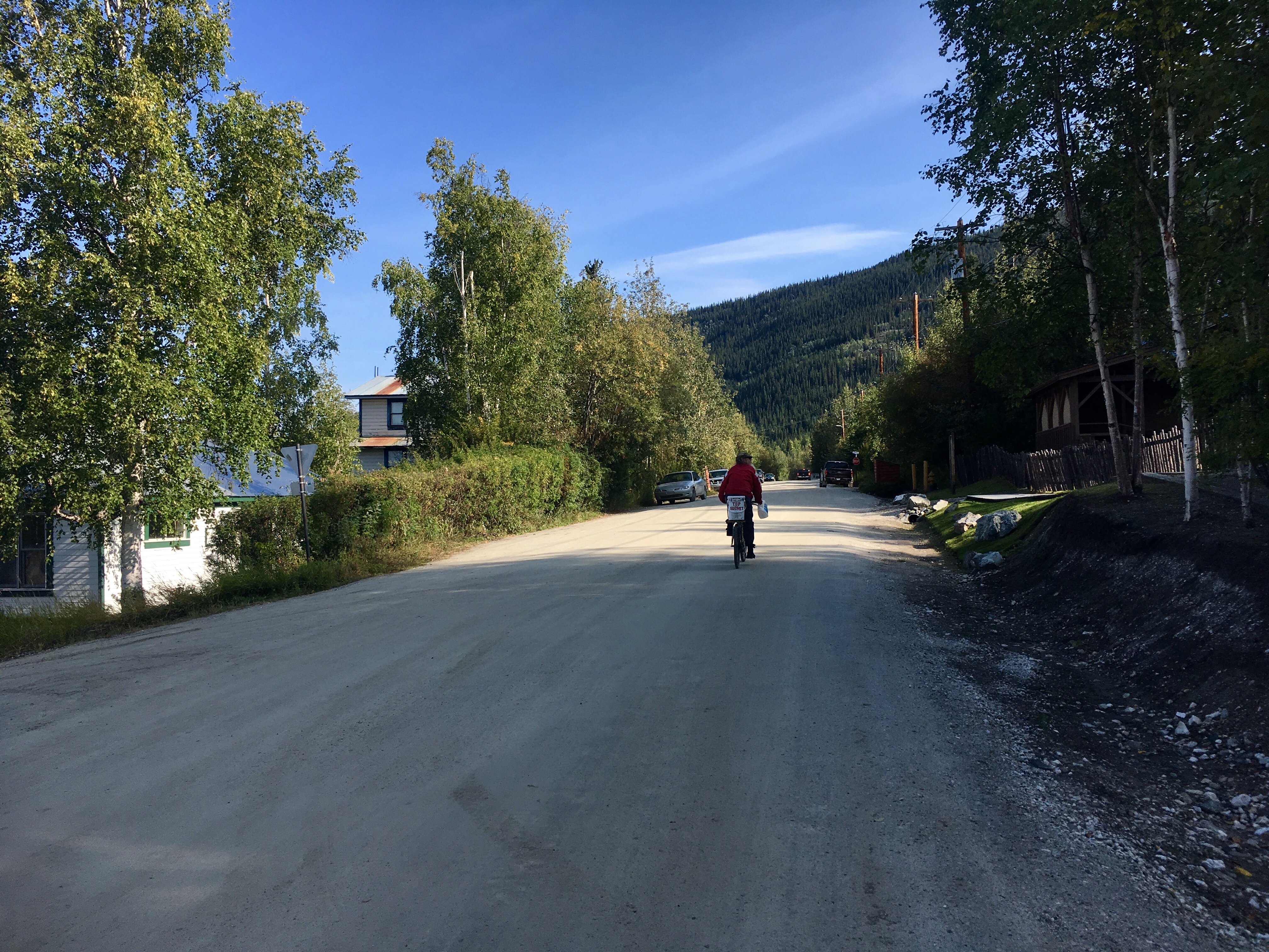
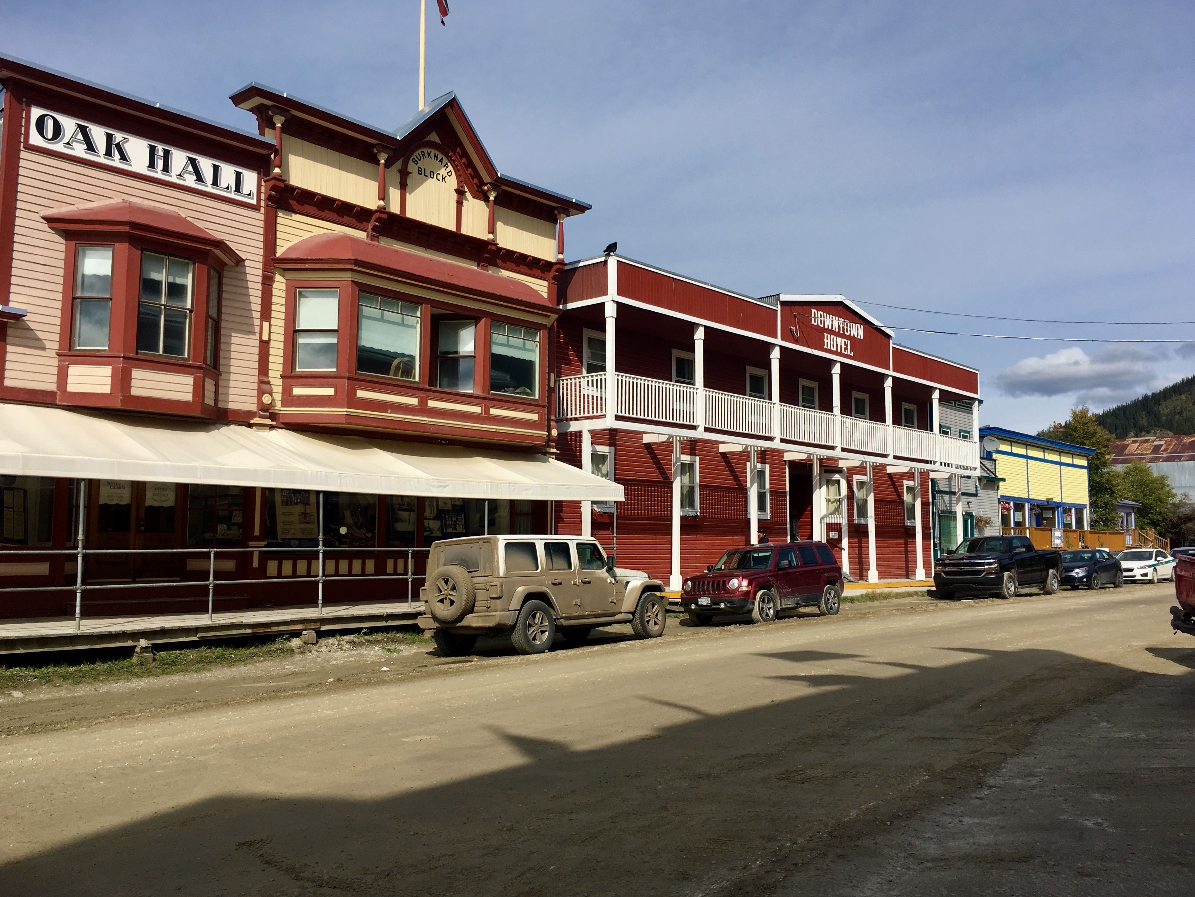
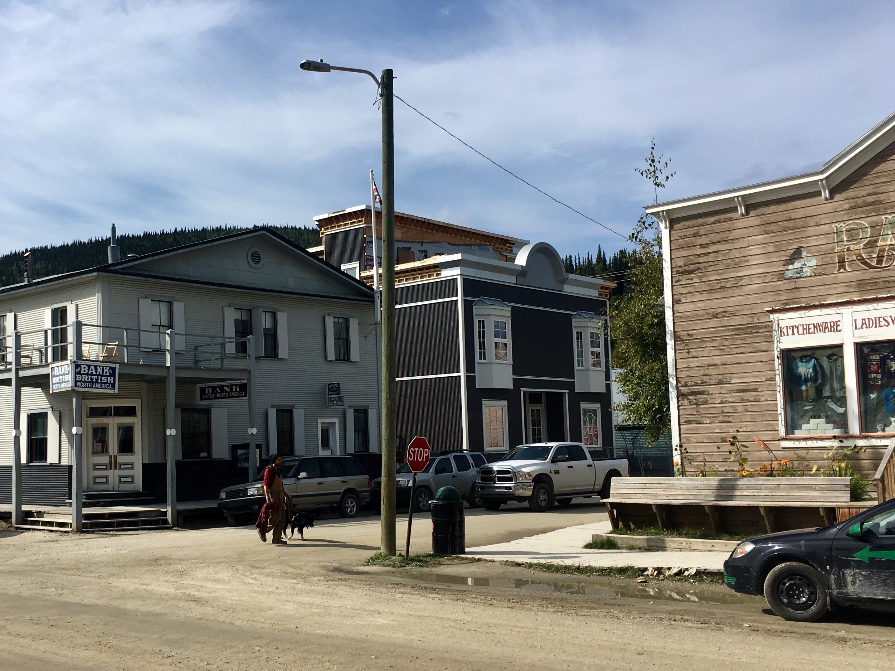
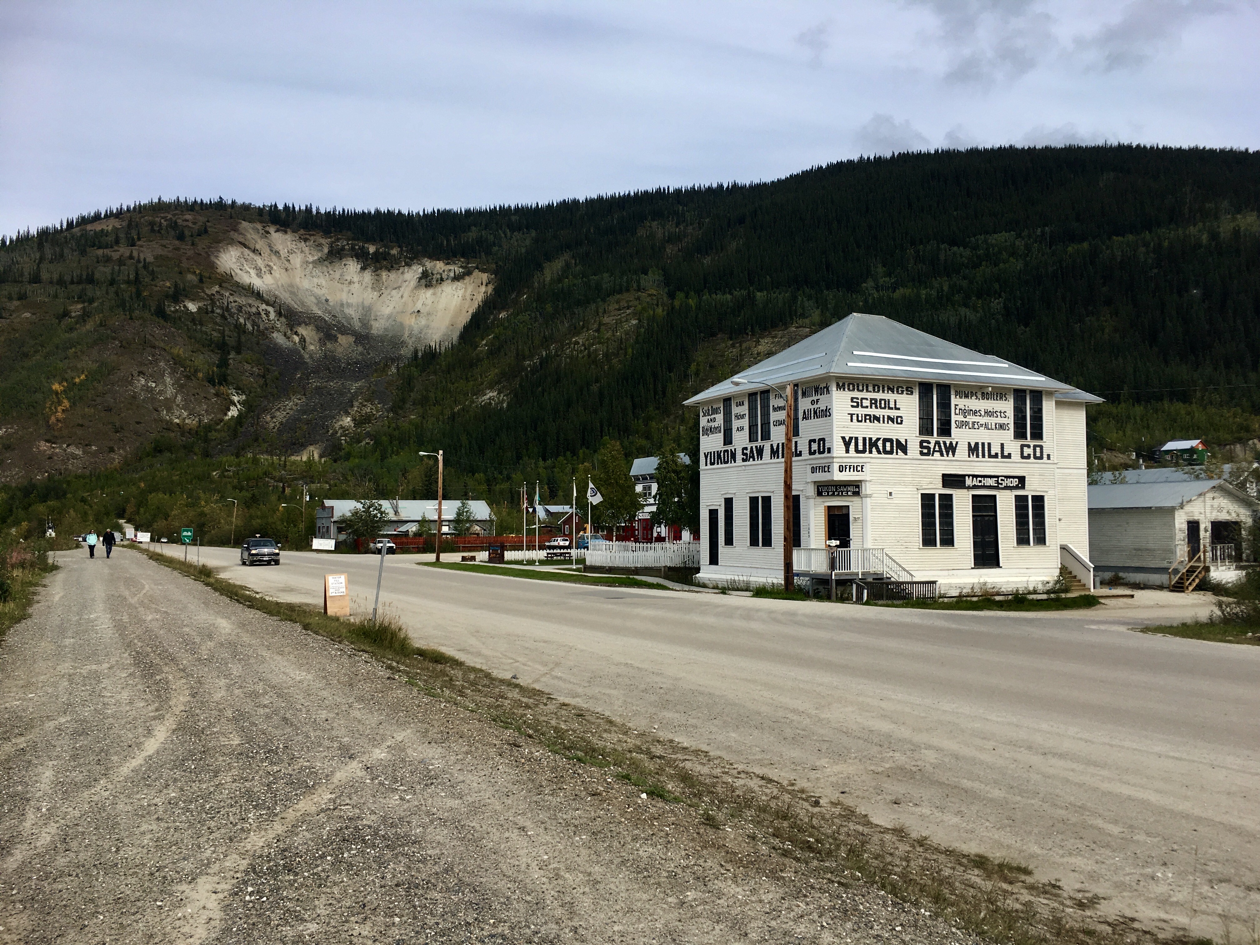
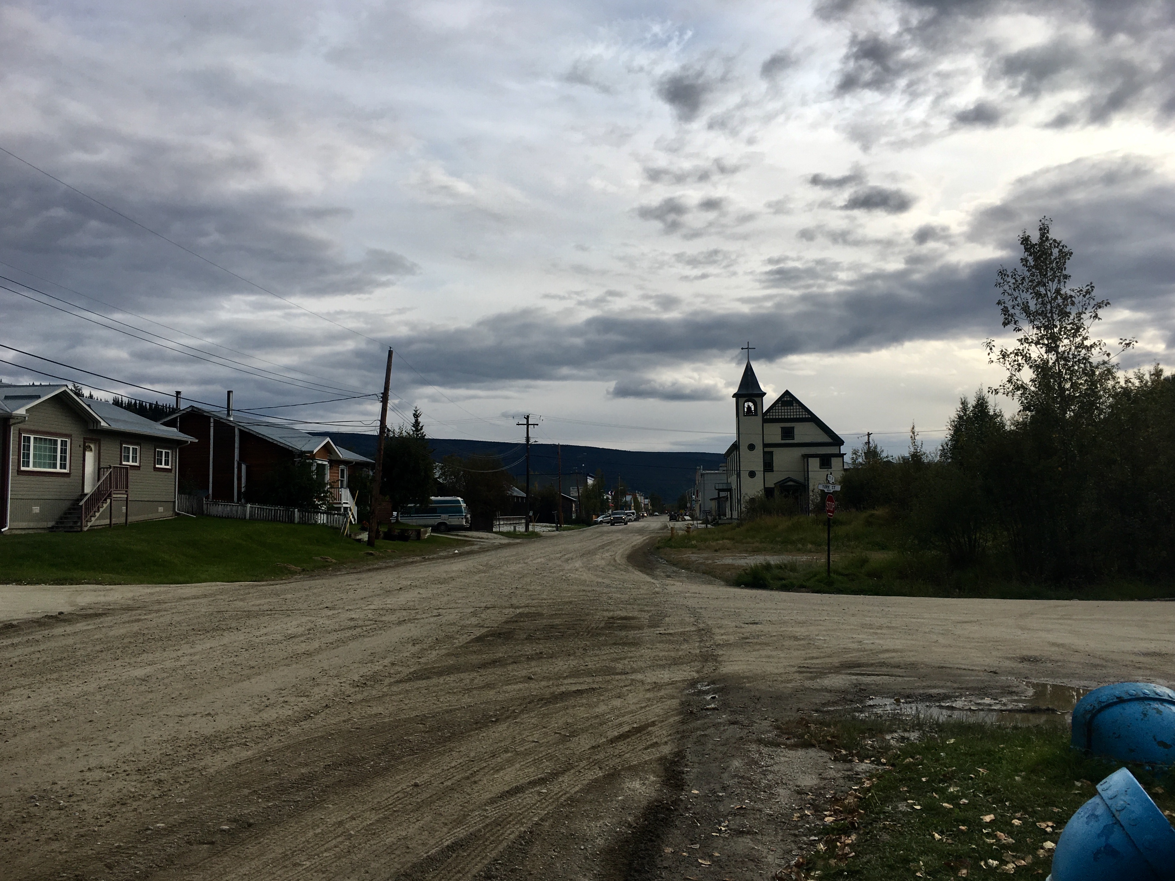
The streets of Dawson are all dirt and gravel, no pavement. Makes it easier to maintain them after the frequent rain.
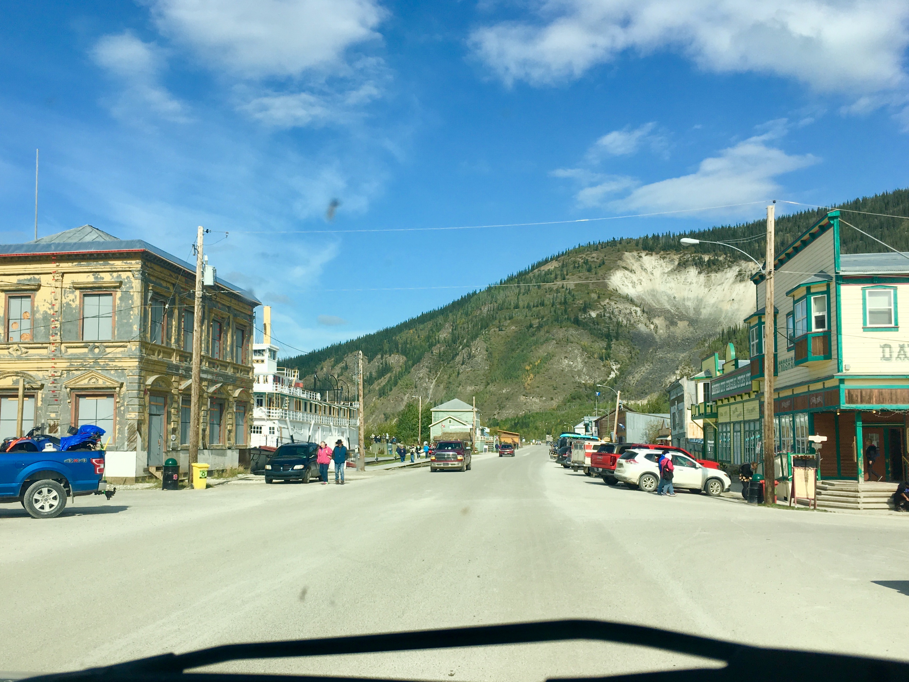
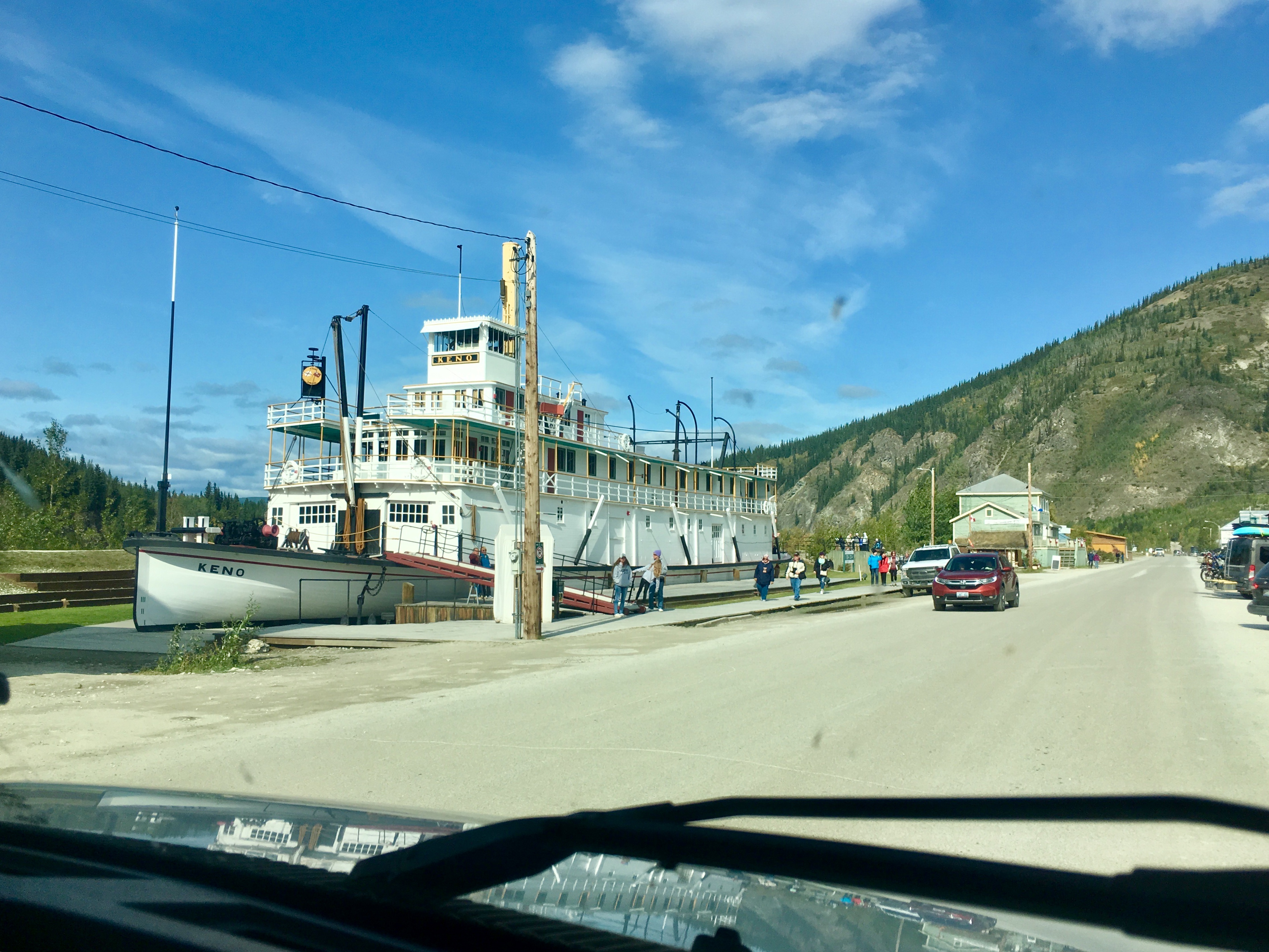
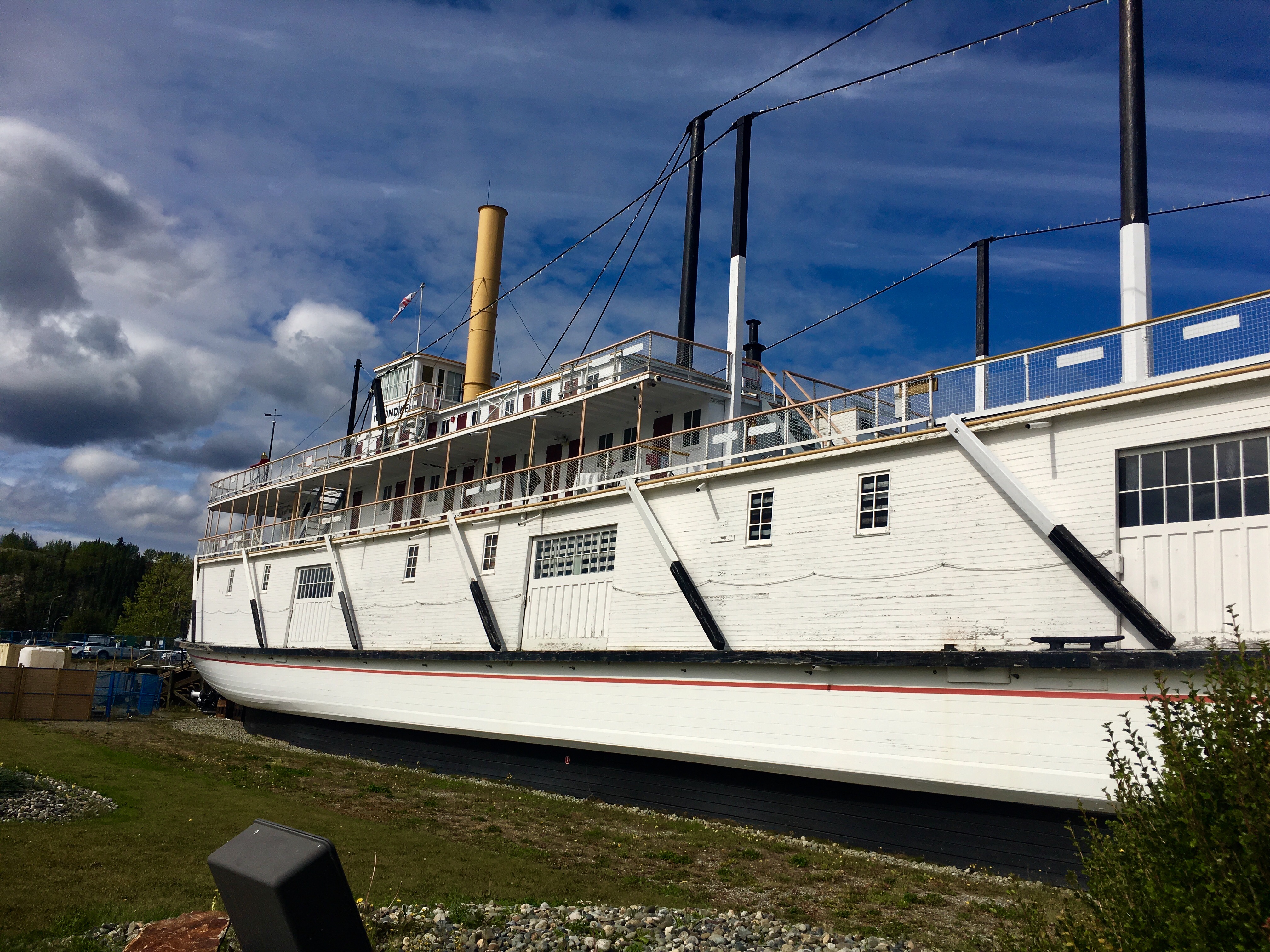
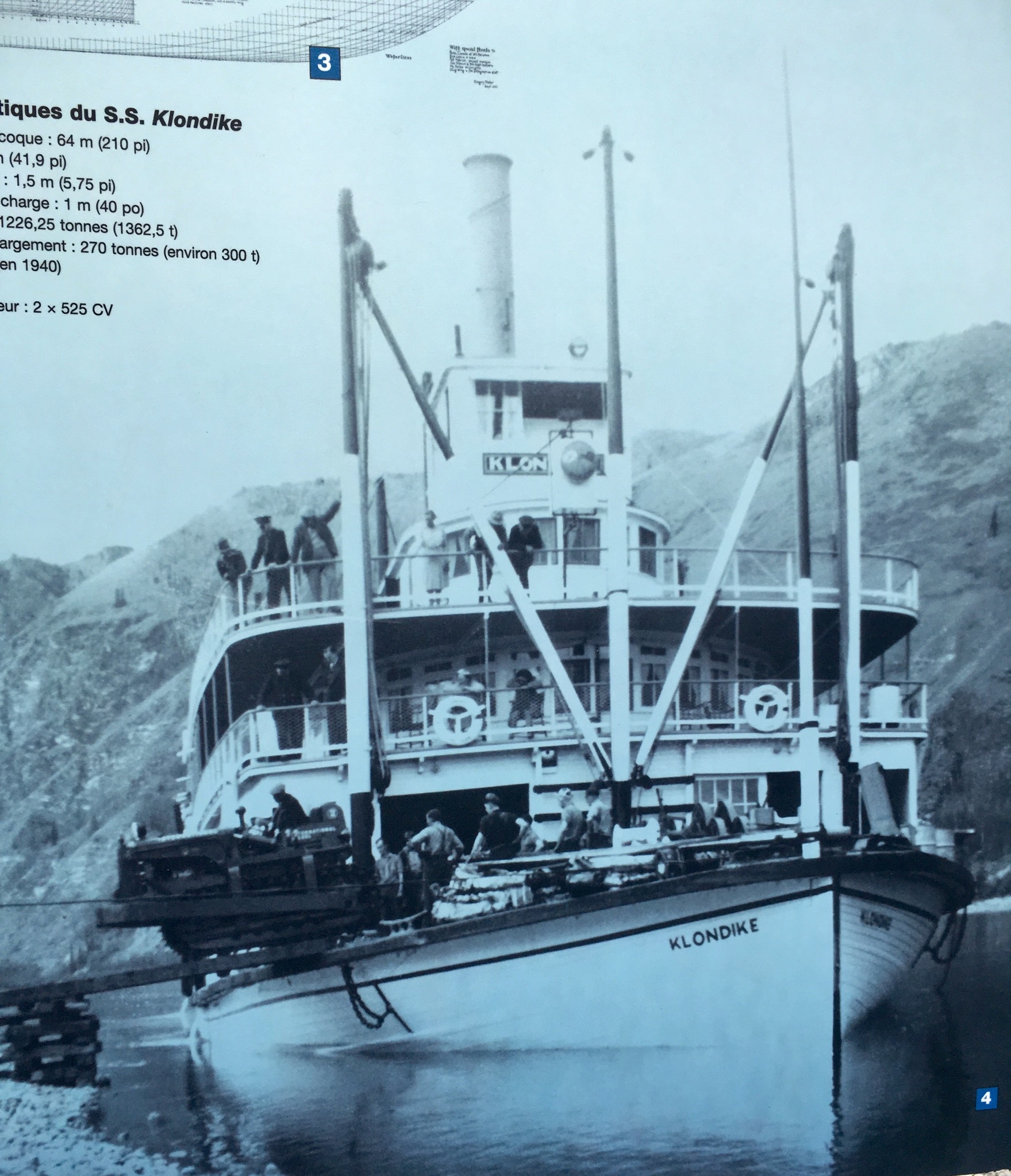
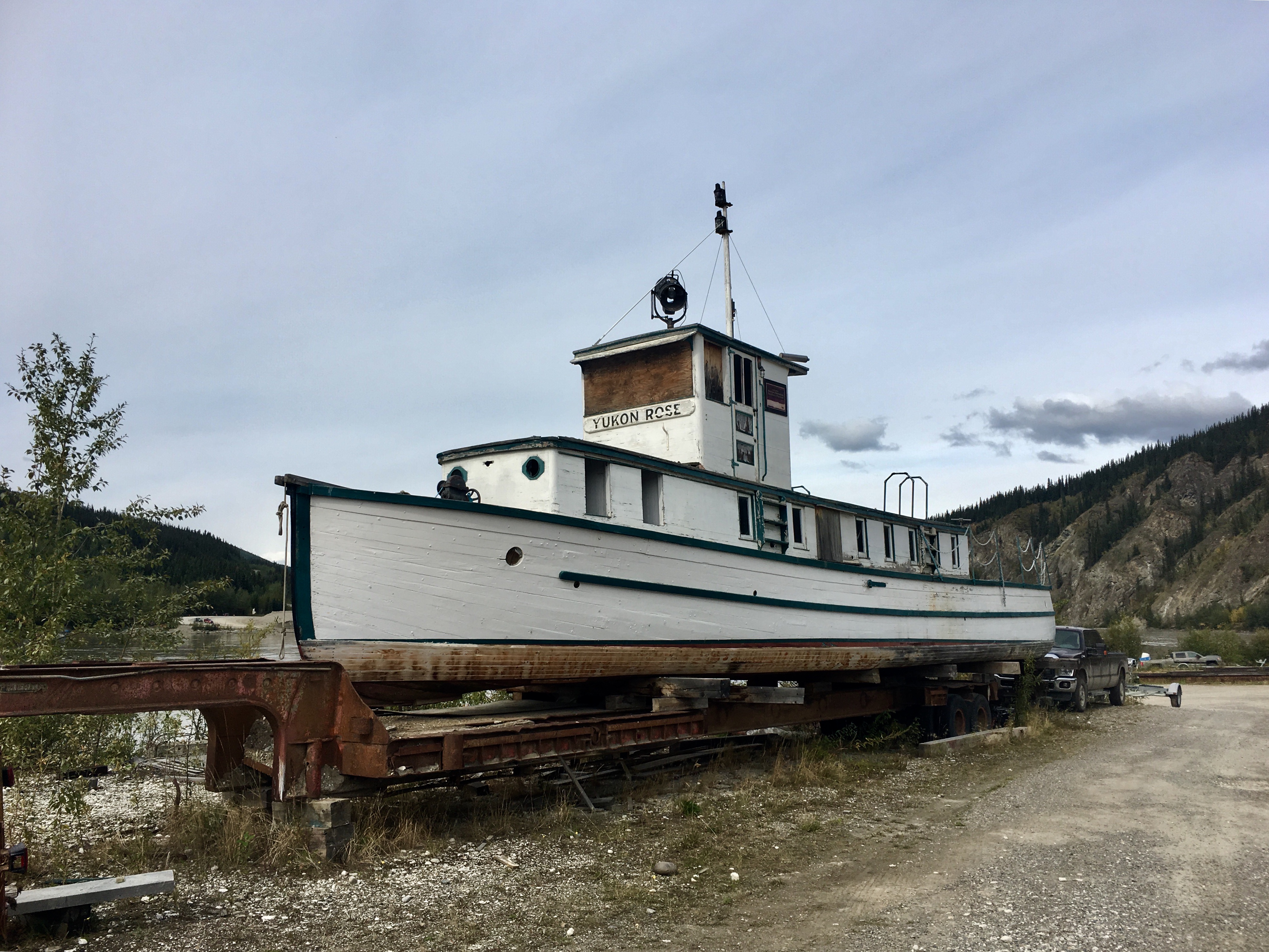
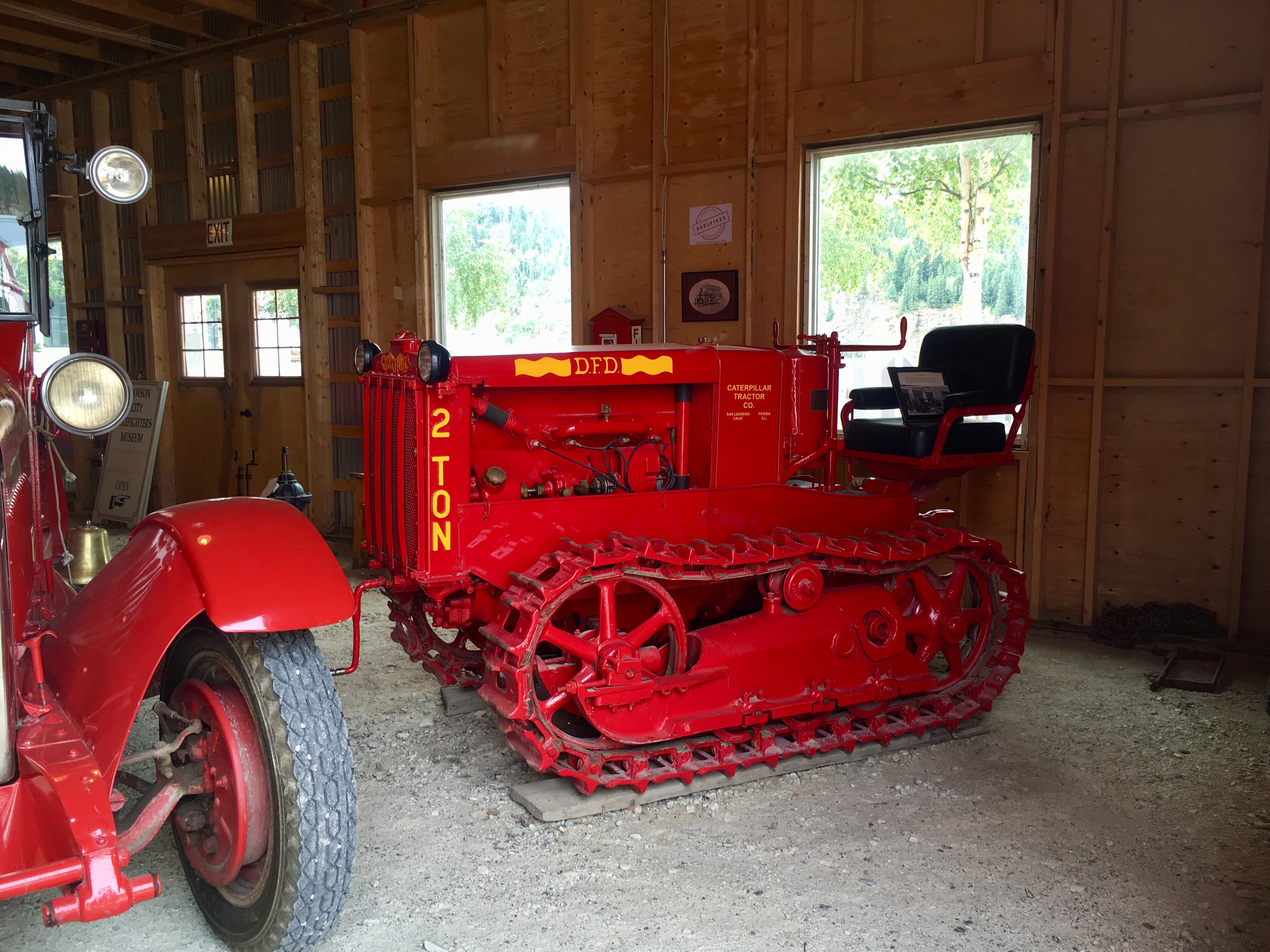
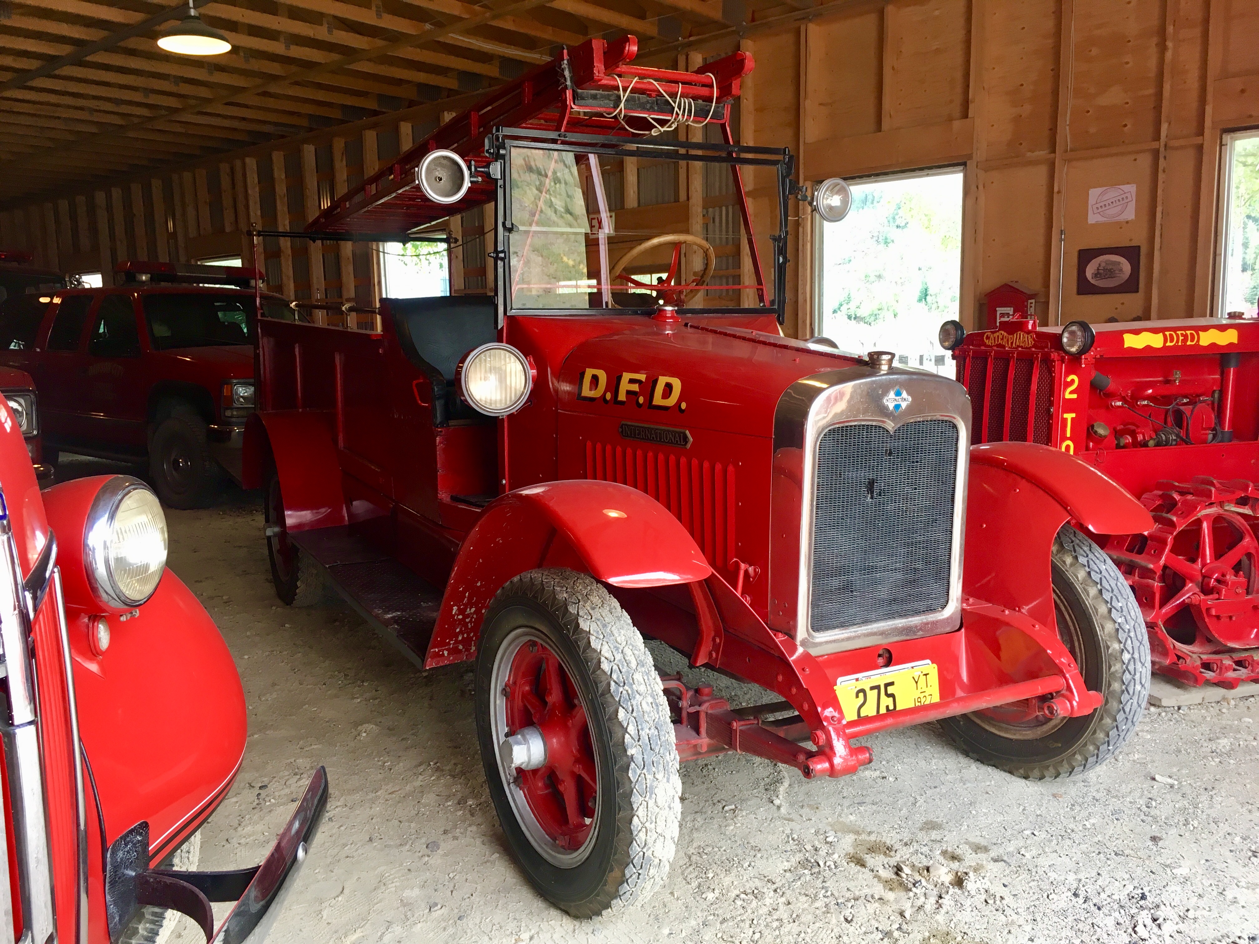
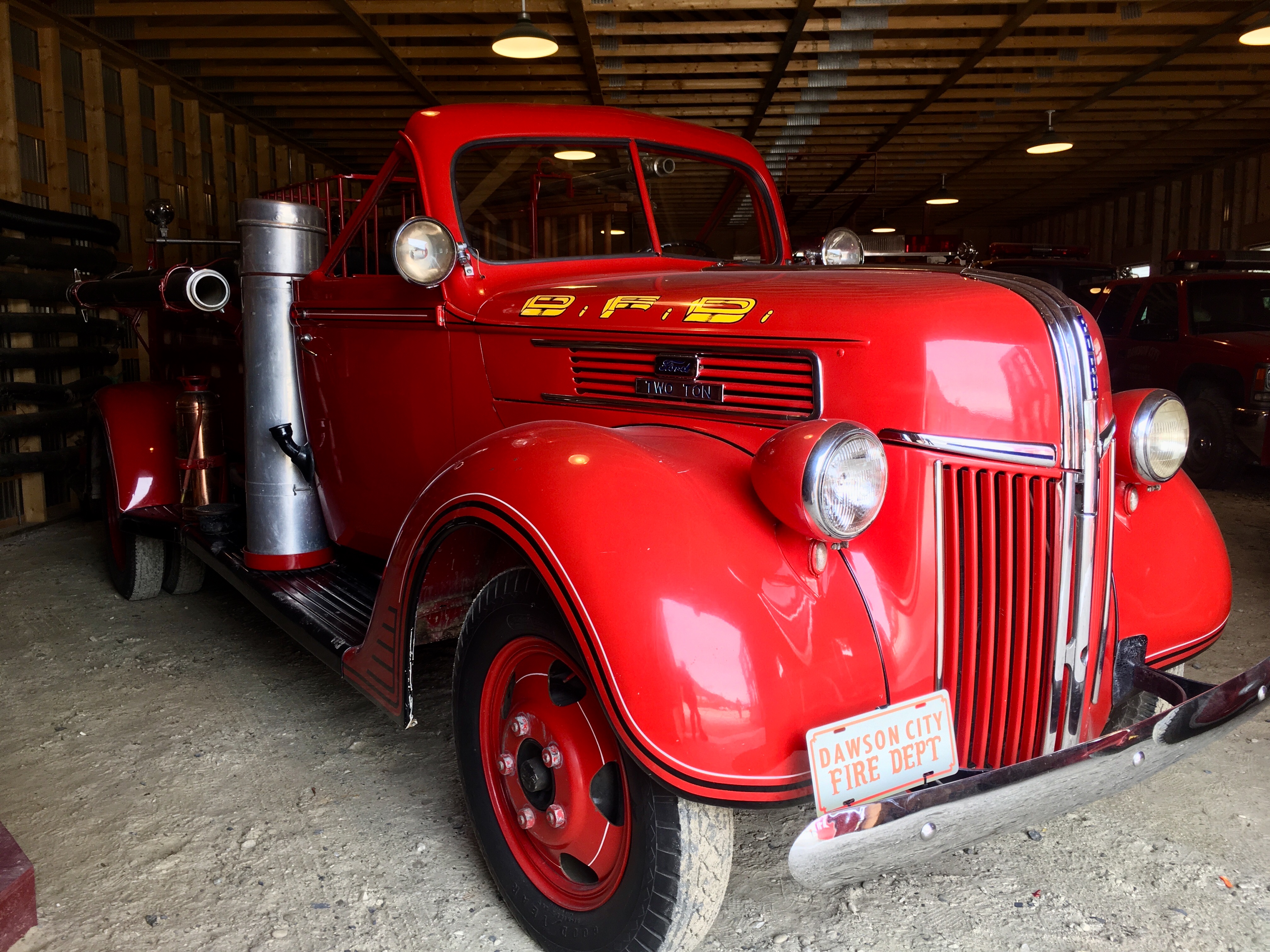
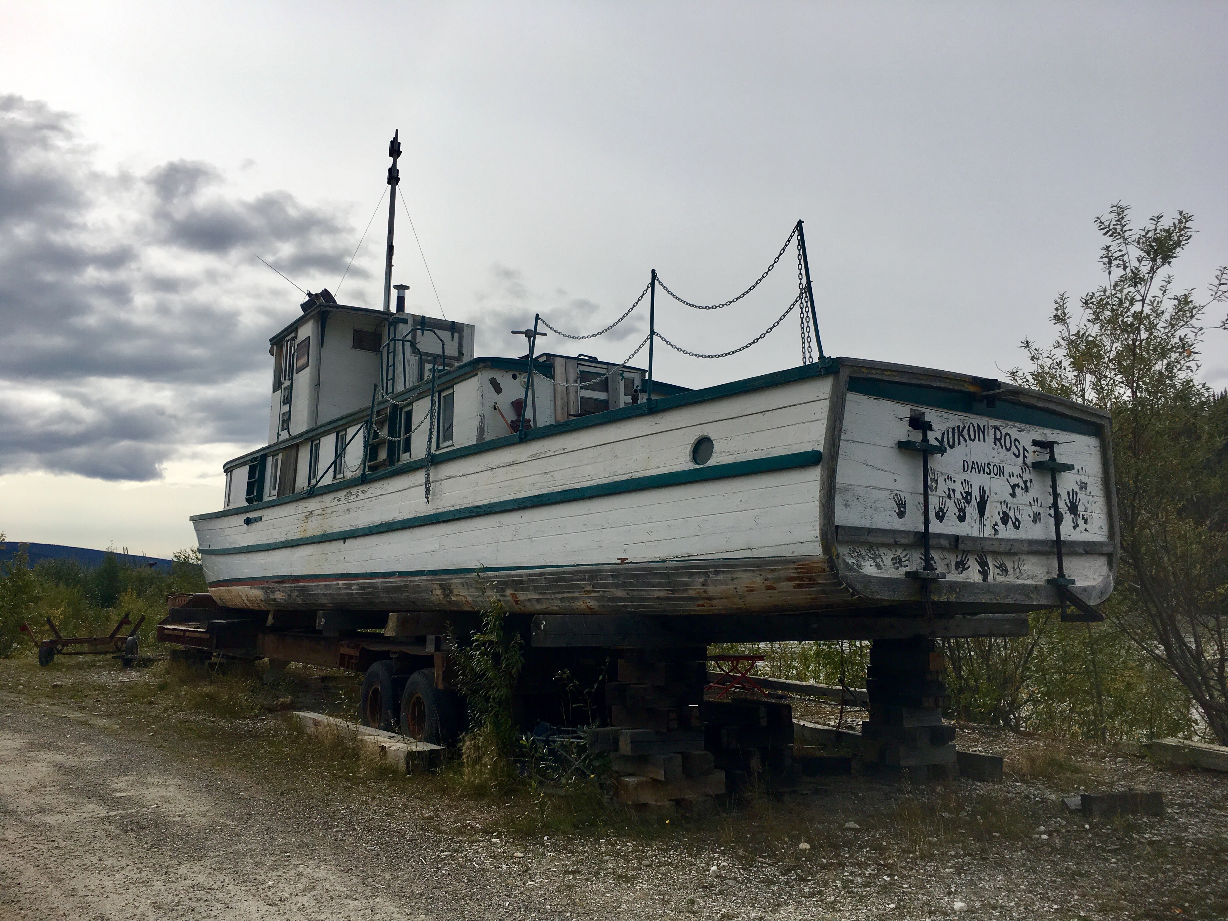
One of the famous riverboats that carried miners and supplies during the Klondike gold rush.
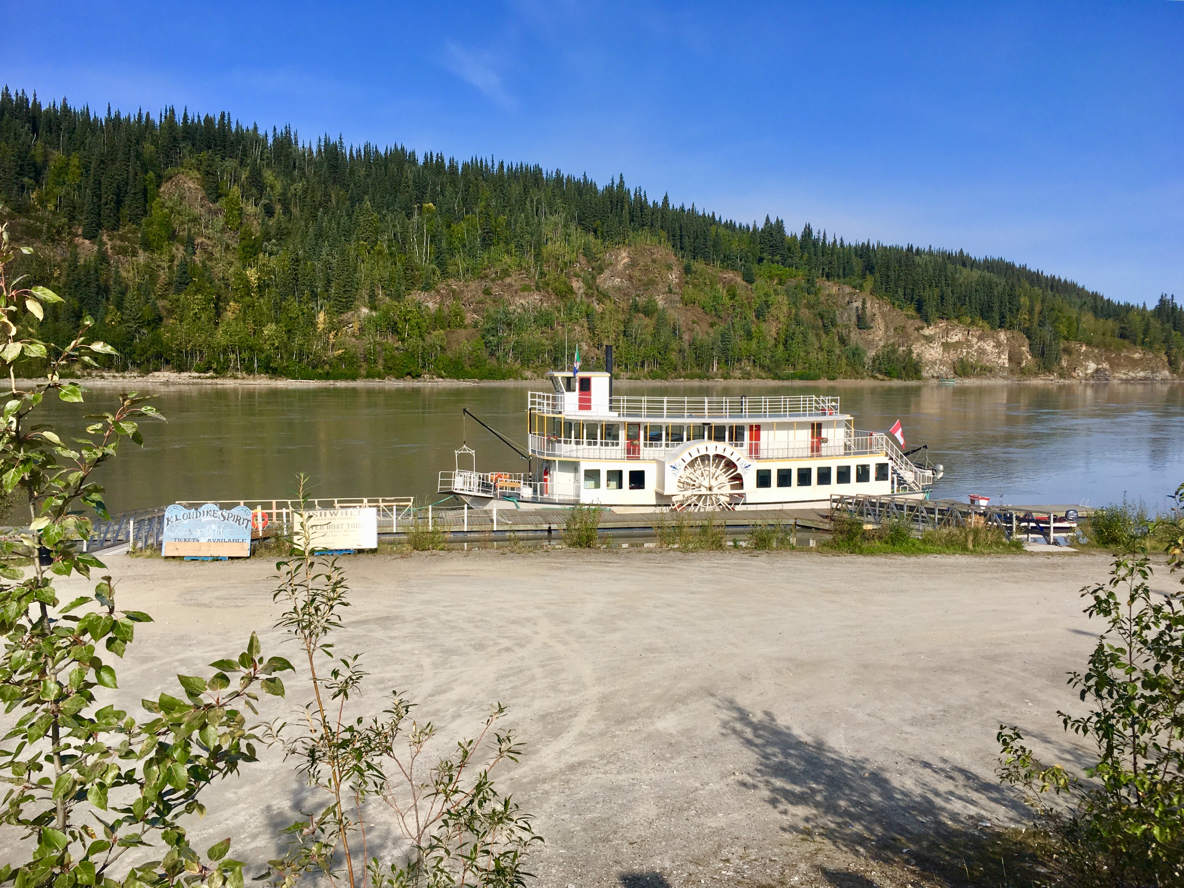
A side-wheeler that gives tours.
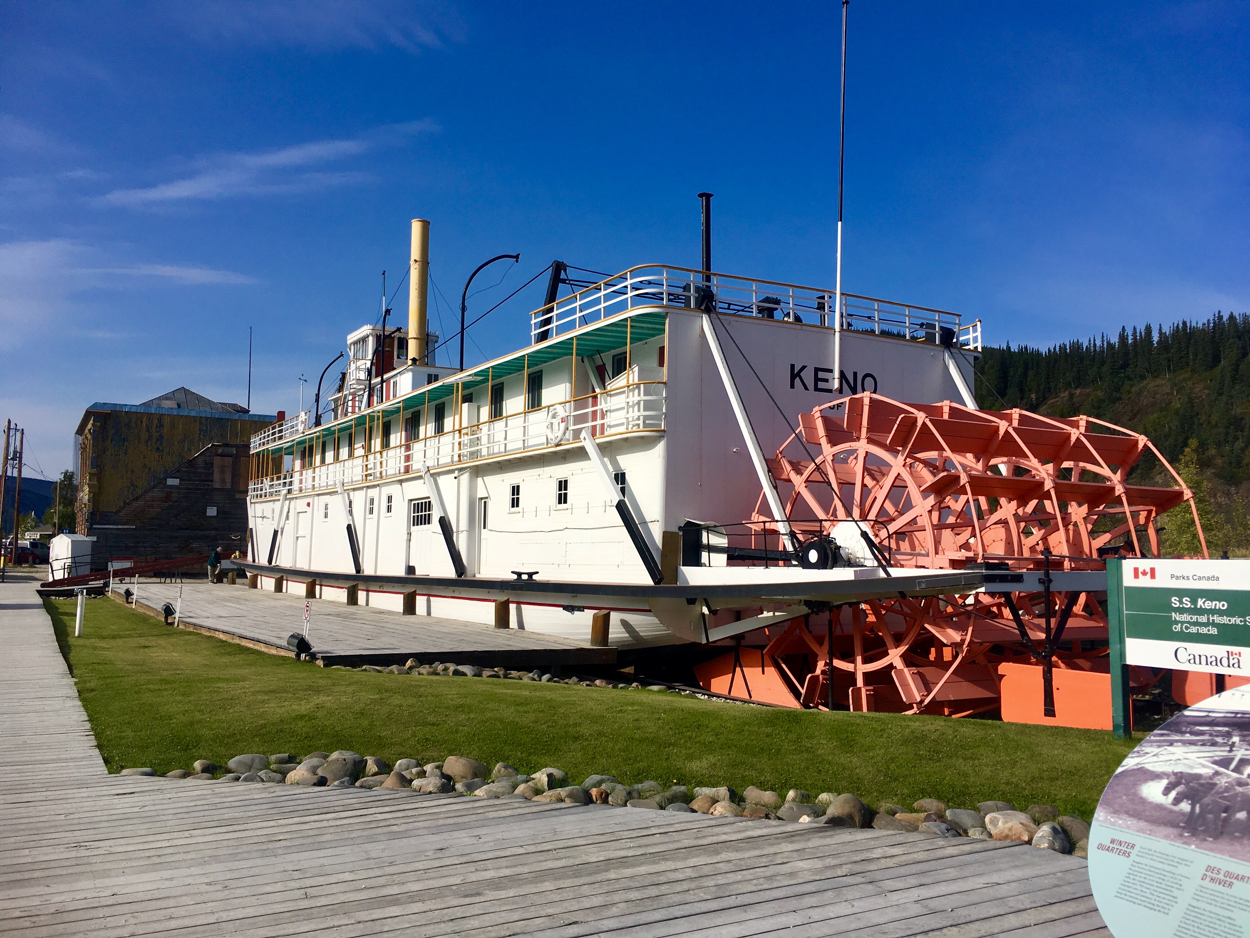
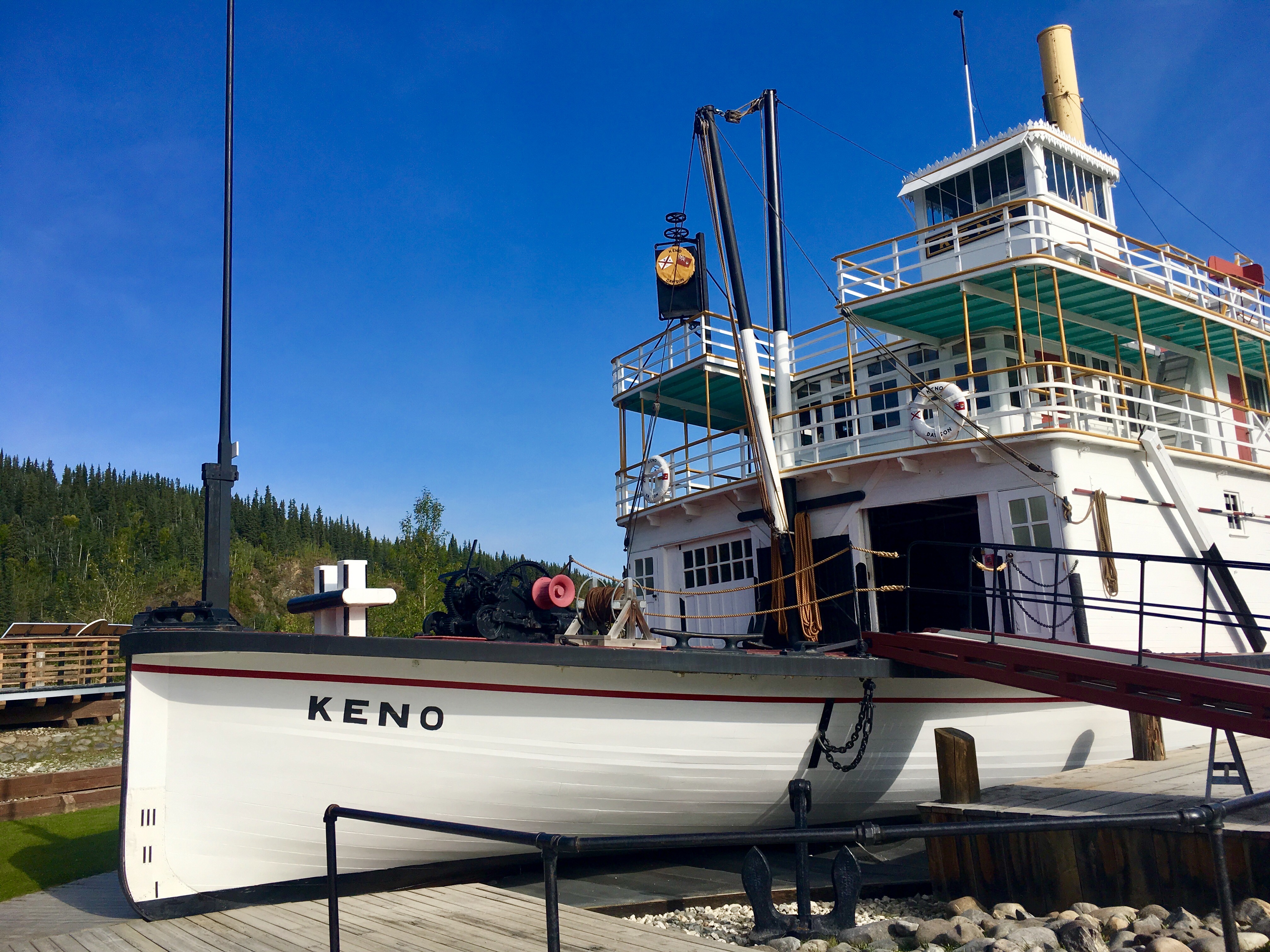
More views of the Keno, the riverboat.


A very modern looking hospital. Kinda makes sense when you think about what people did here for a living.
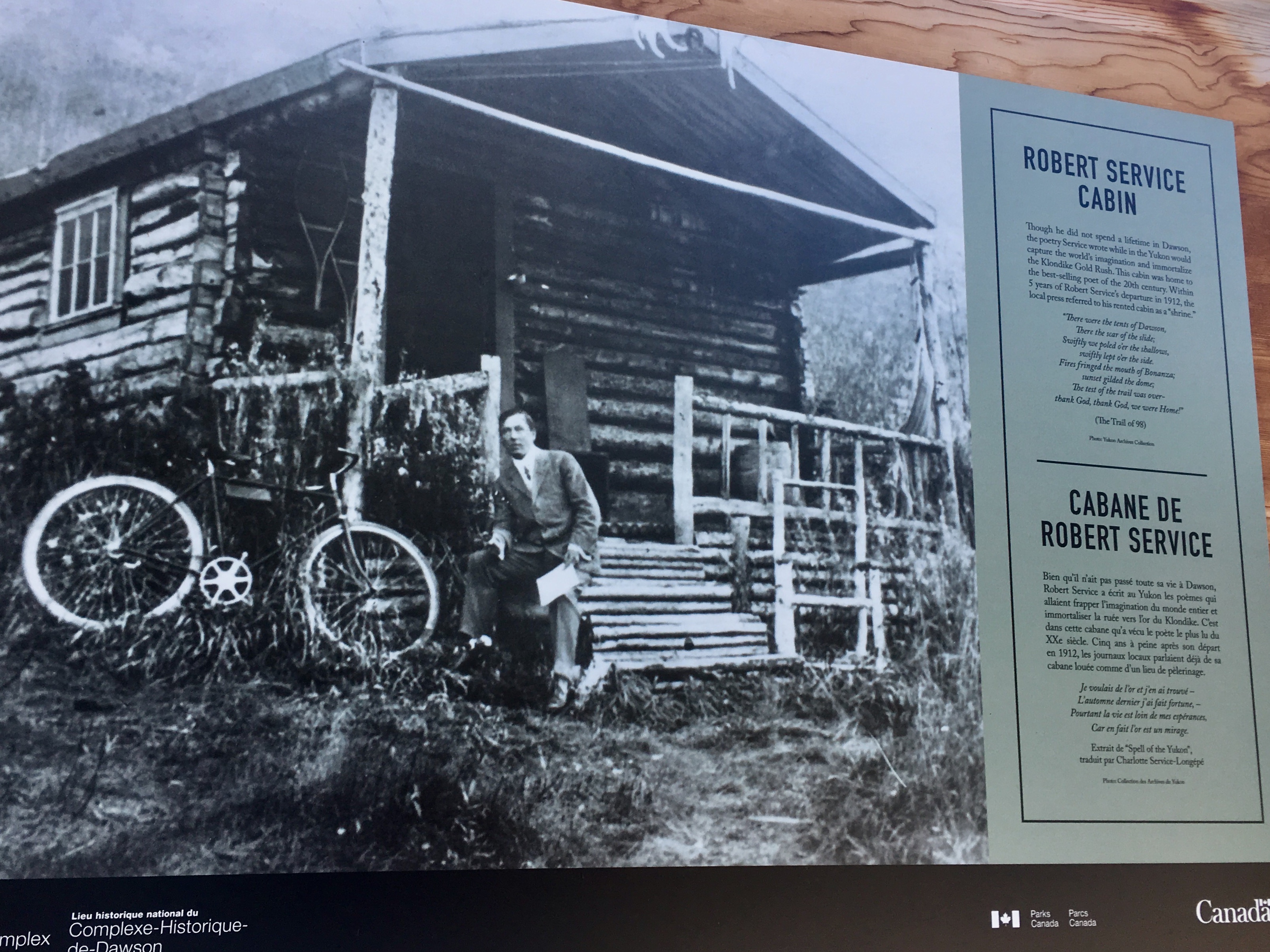
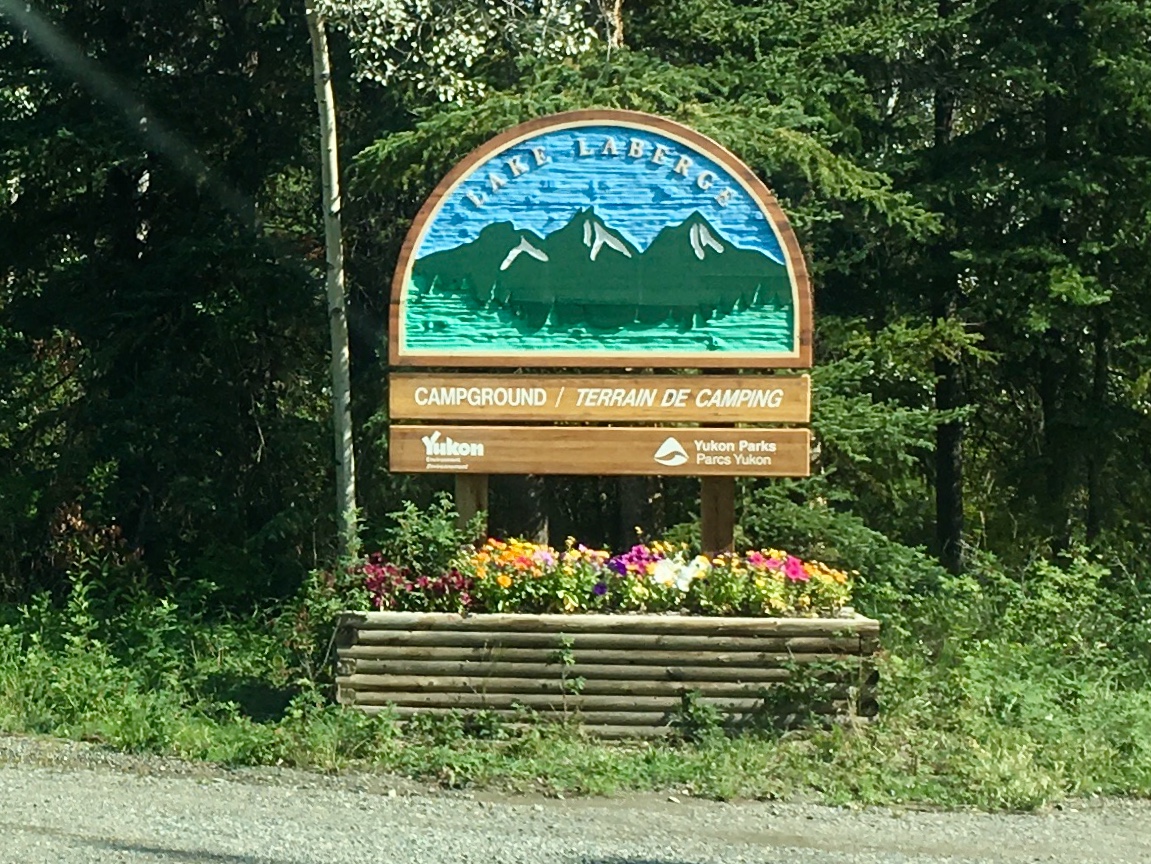
Robert Service was a poet whose work was greatly influenced by his time in Dawson City. One of his unique offerings: “There are strange things done in the midnight sun by the men who moil for gold. The arctic tales have their secret tales that would make your blood run cold. The northern lights have seen queer sights. But the queerest they ever did see was the night on the marge of Lake Labarge I cremated Sam McGee.” Yes – we visited Services old home and, yes, we camped at Lake Labarge.
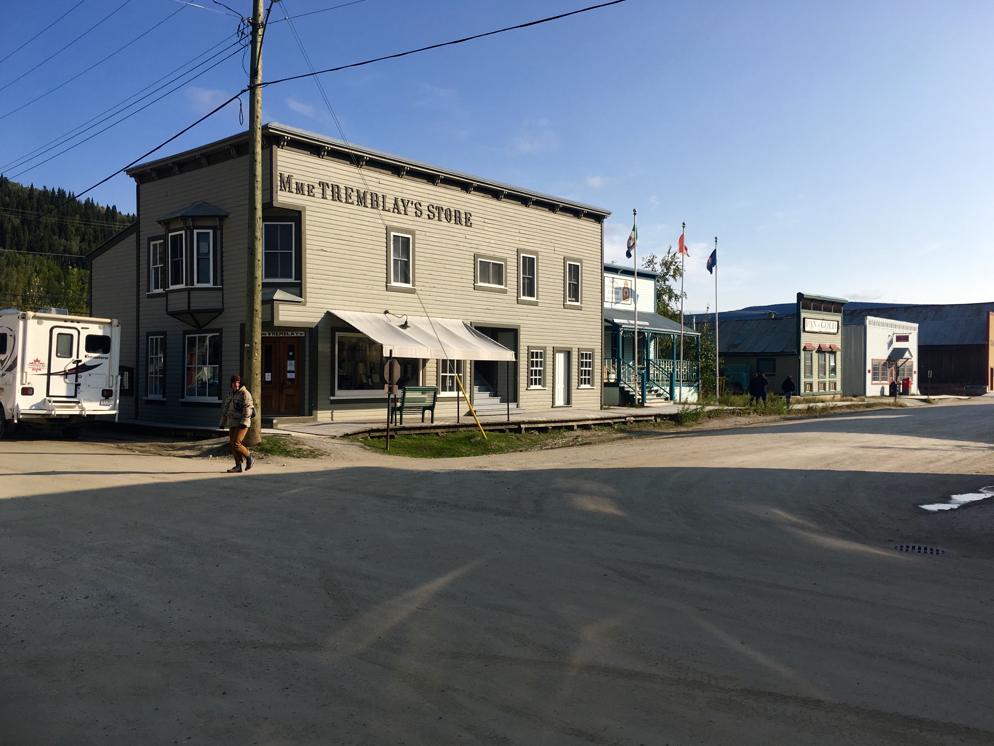
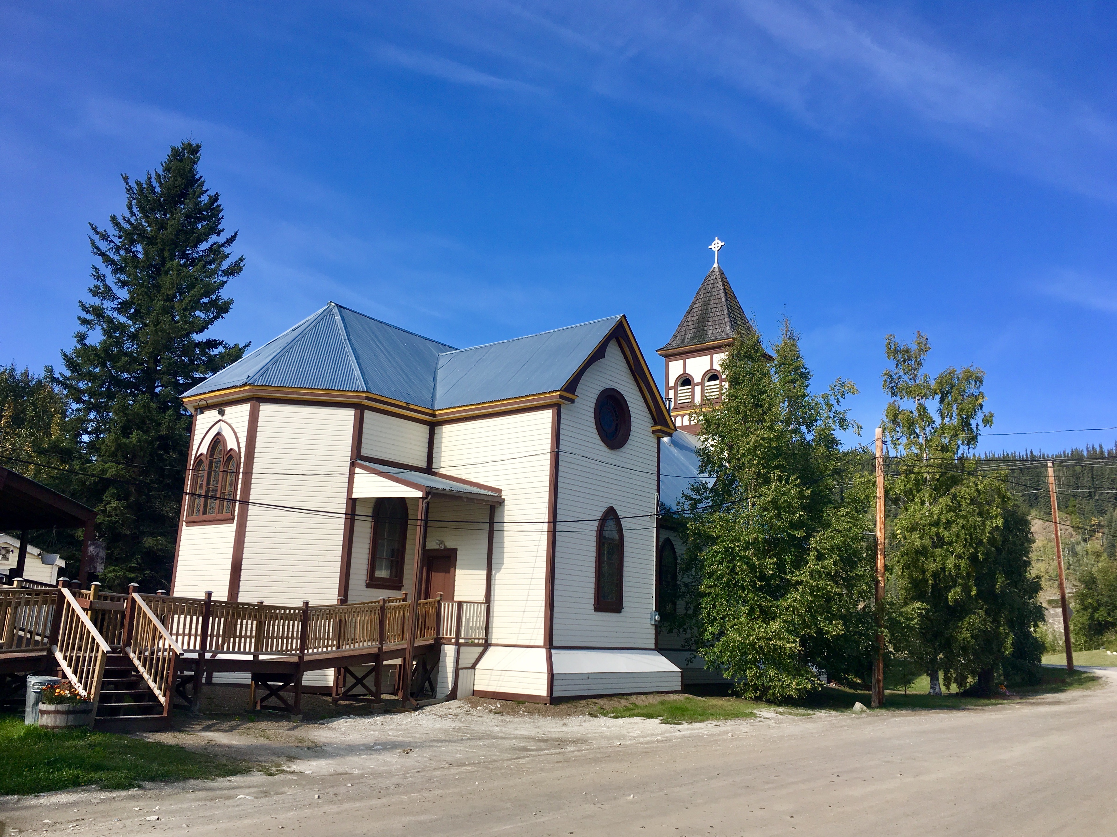
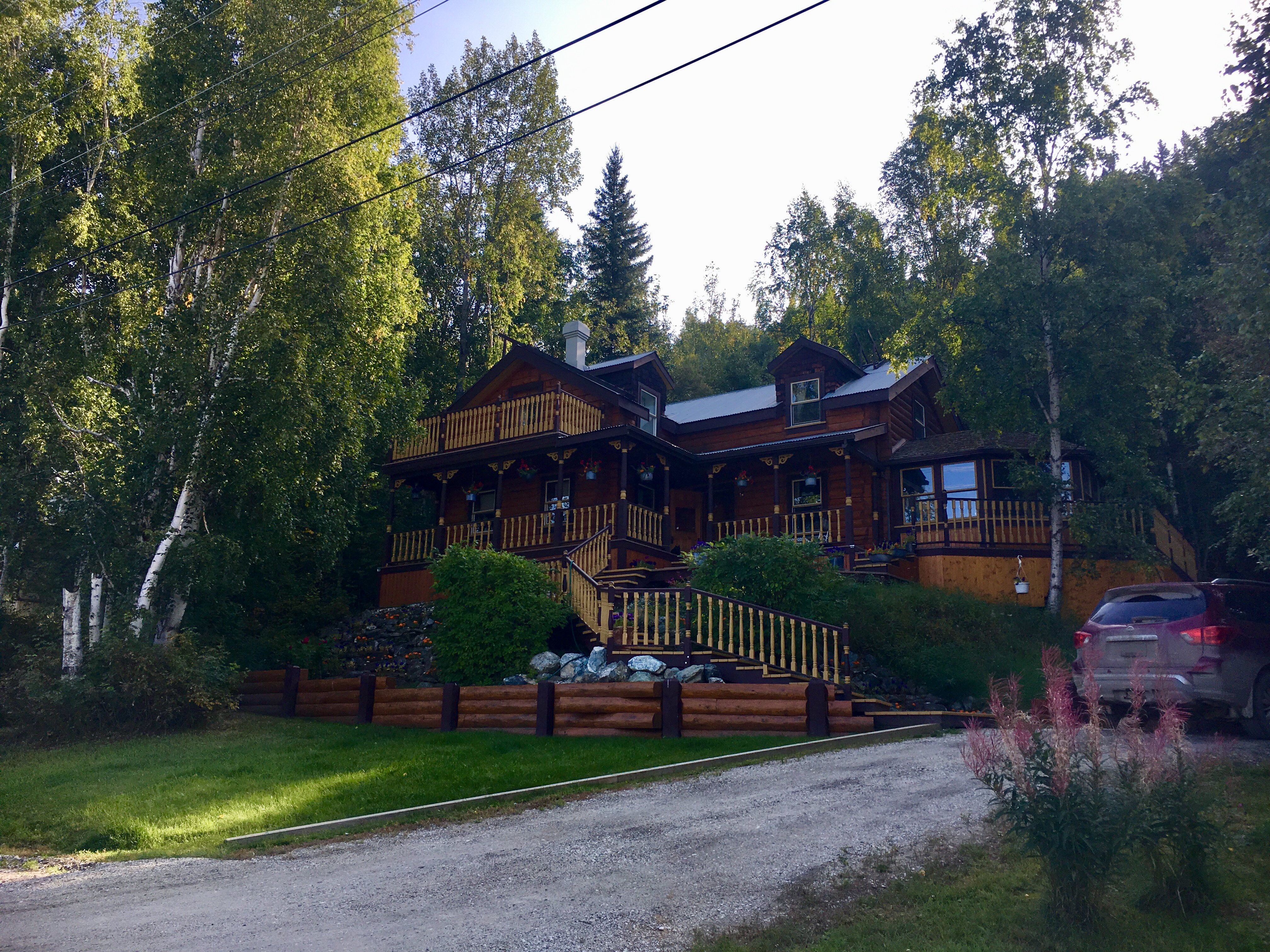
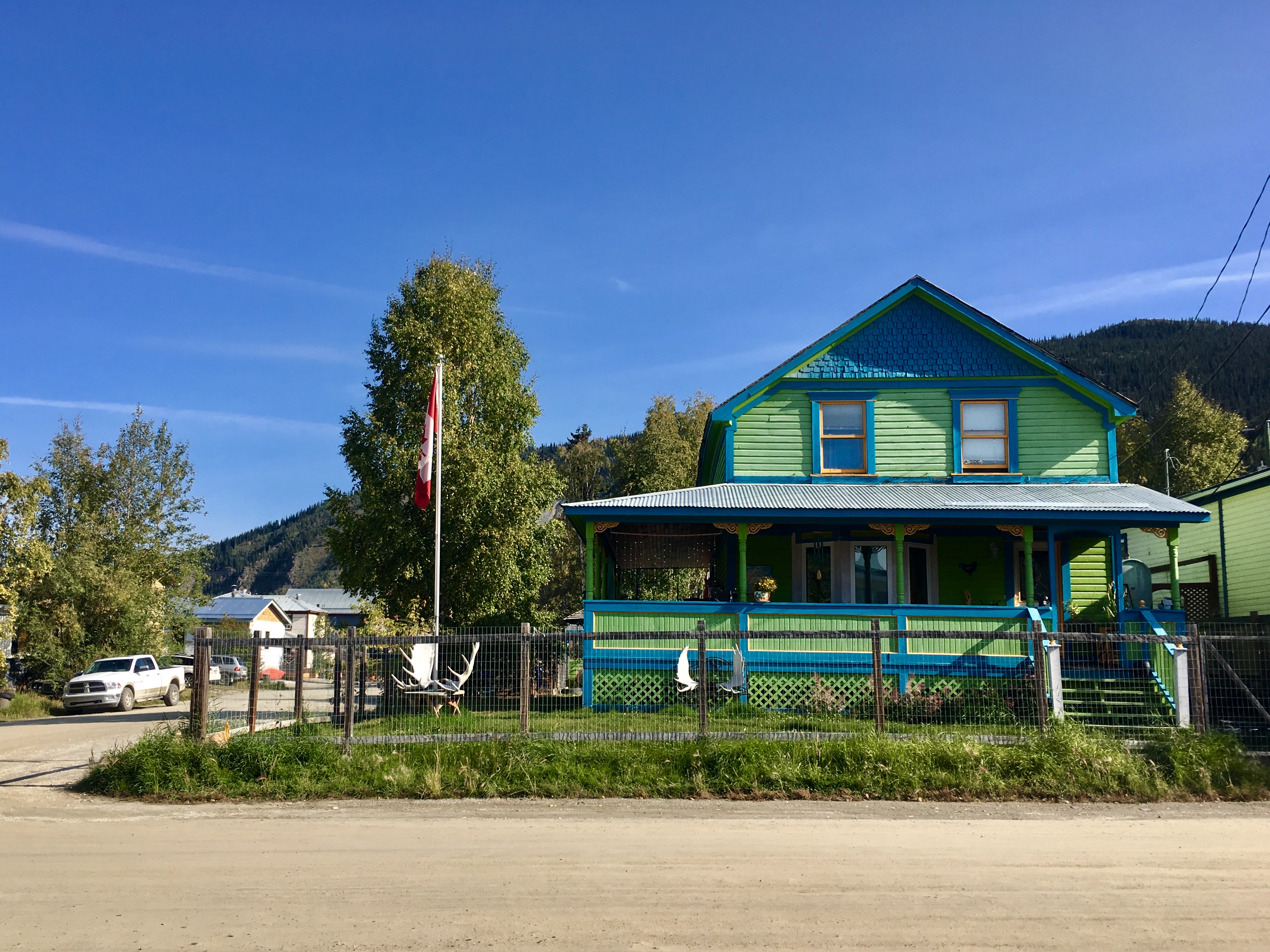
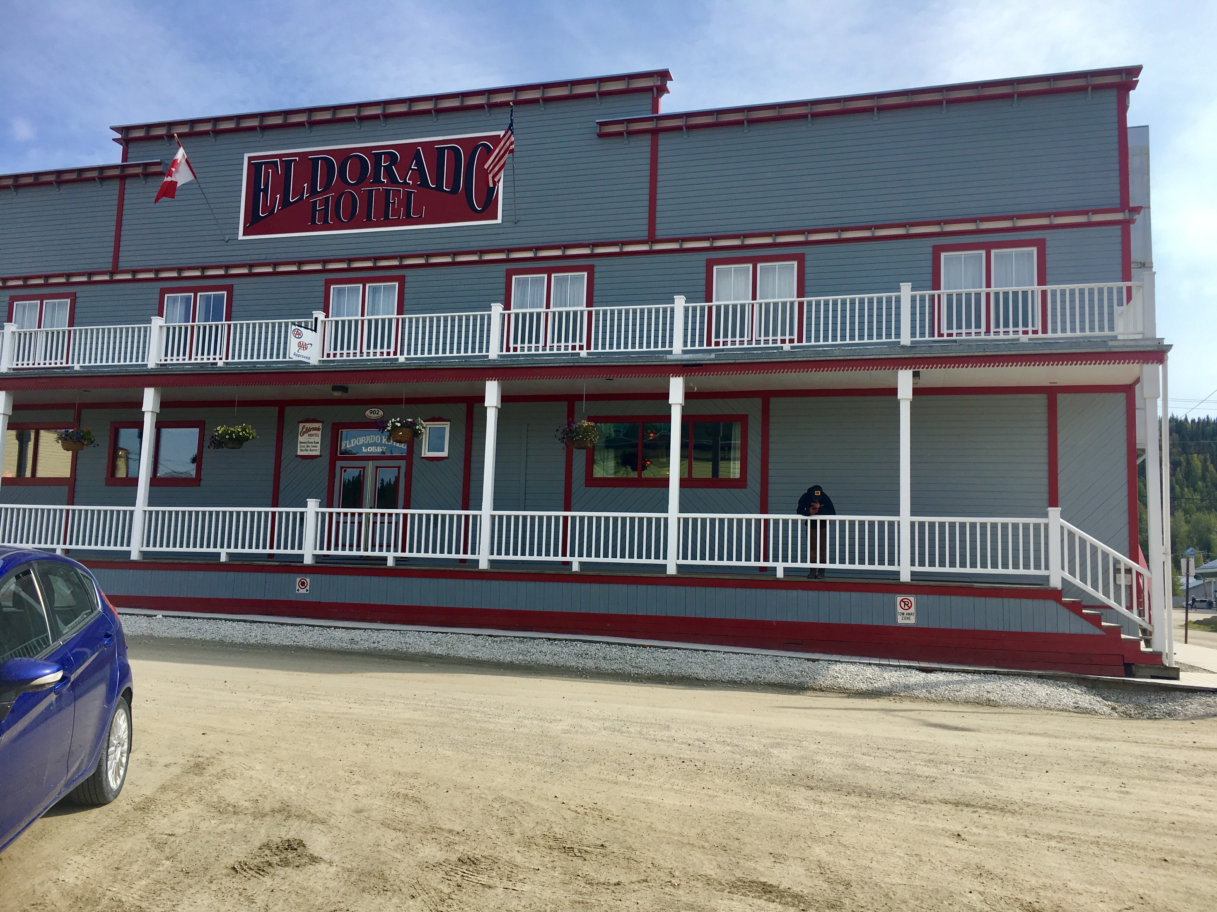
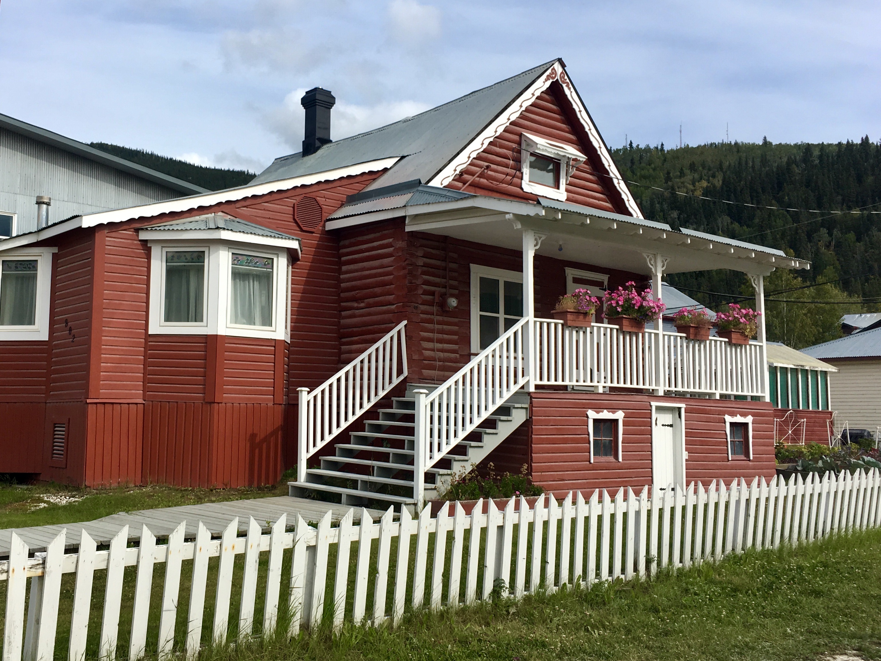
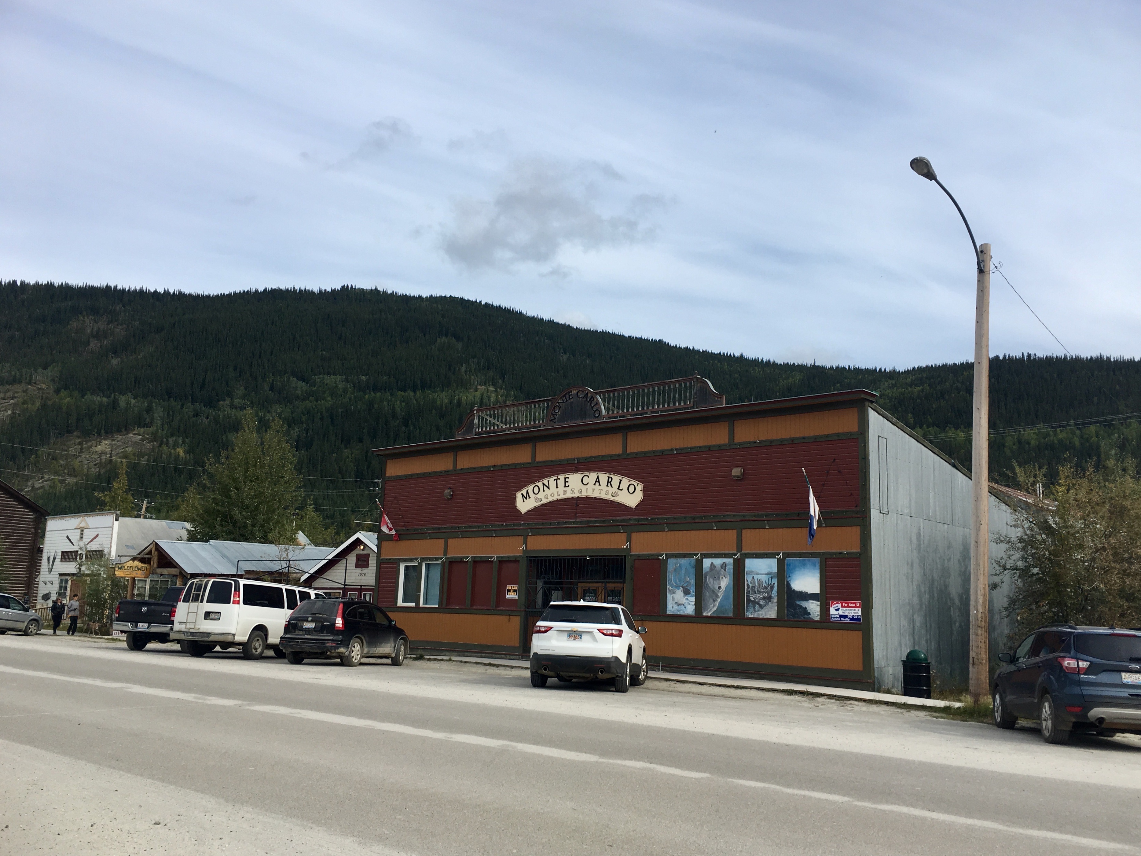
Not all the buildings in Dawson were run down and old…
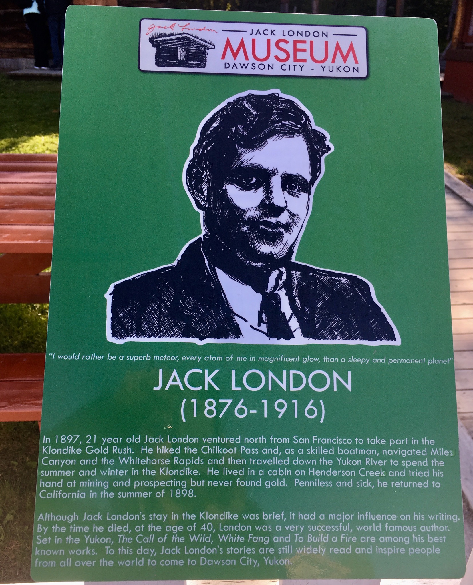
Another author with Dawson City roots was Jack London. He was part of the gold rush in 1898. Never found gold. Left sick and penniless. But turned to writing and got rich before he died in San Francisco at the age of 41.
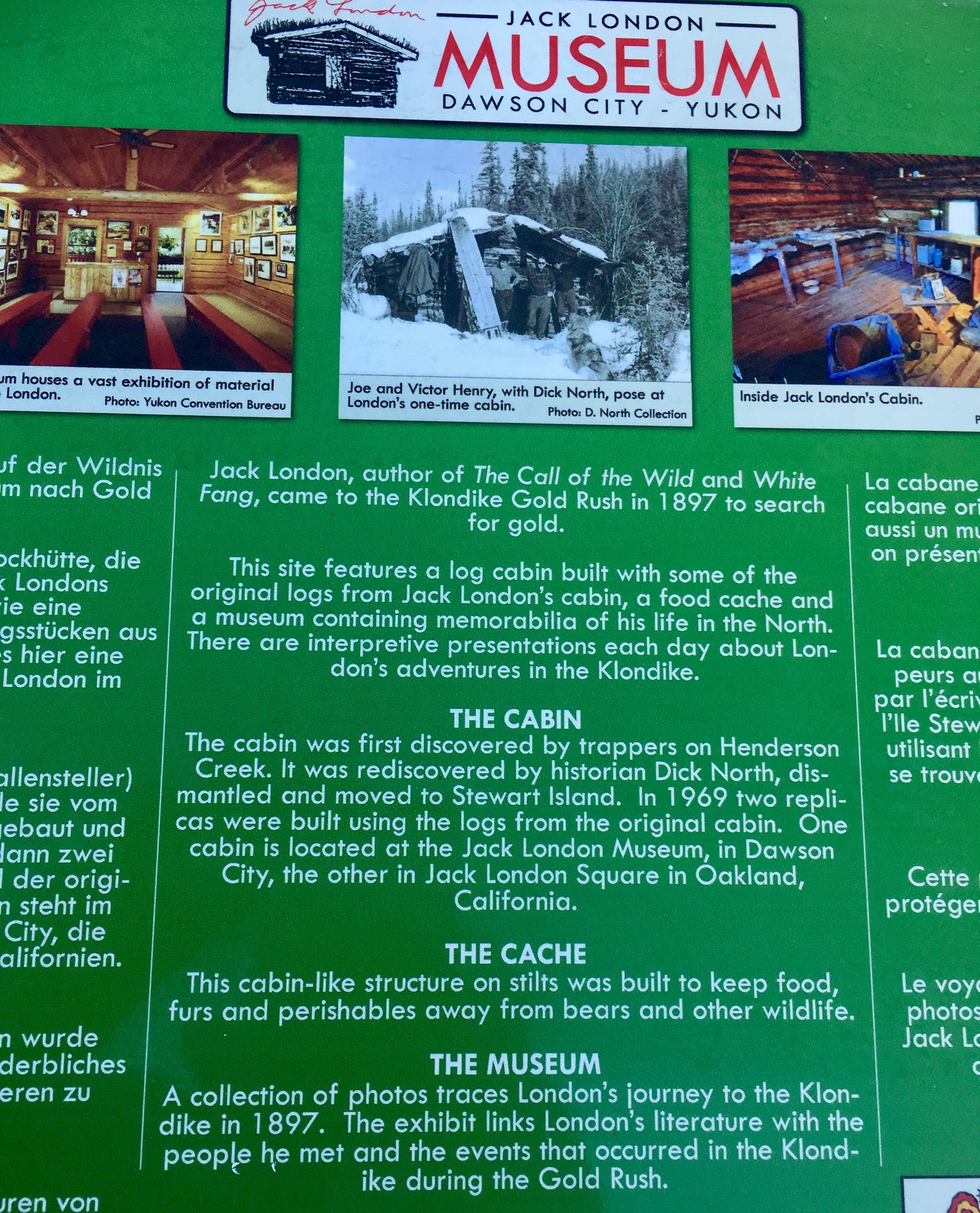
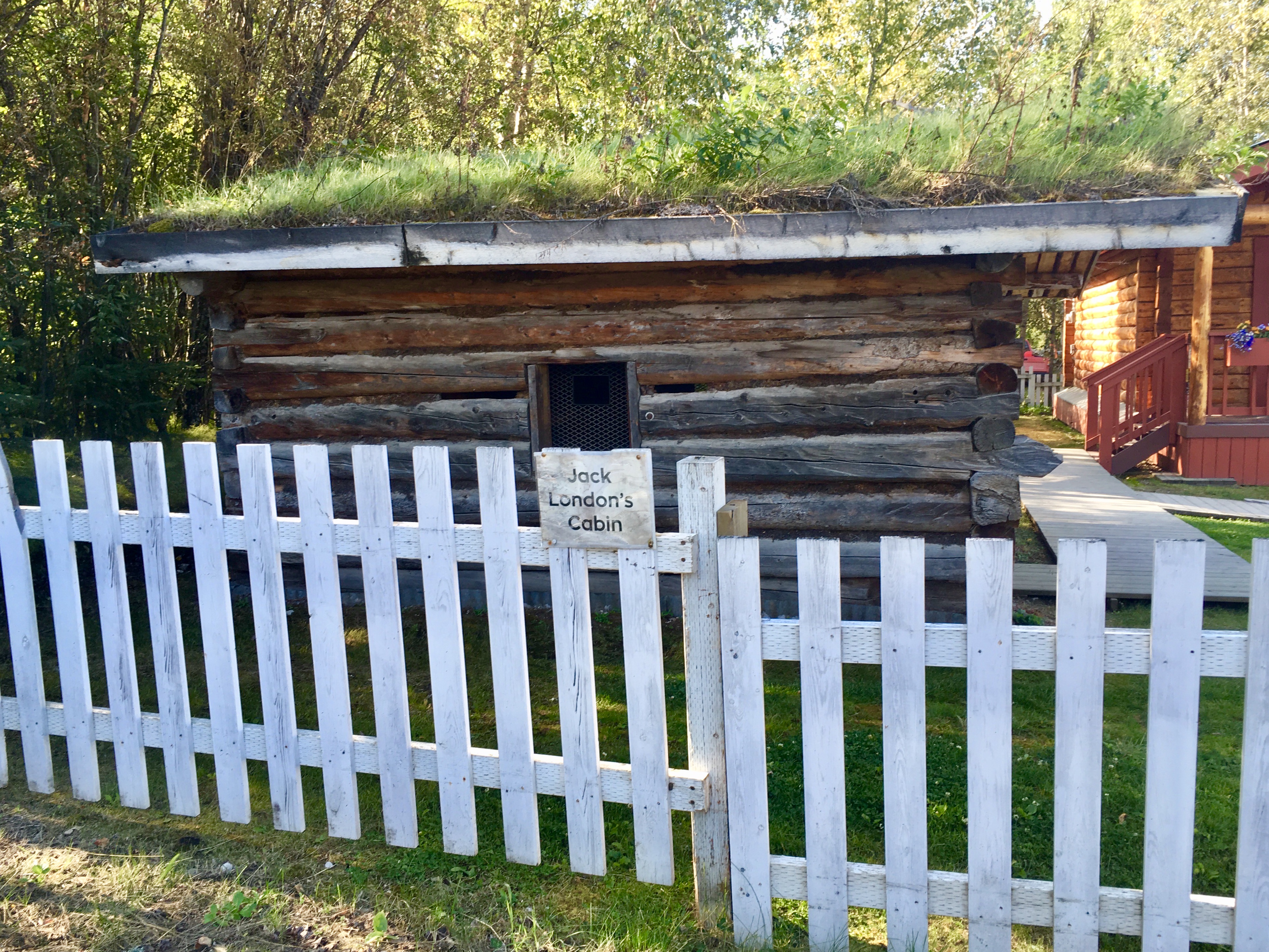
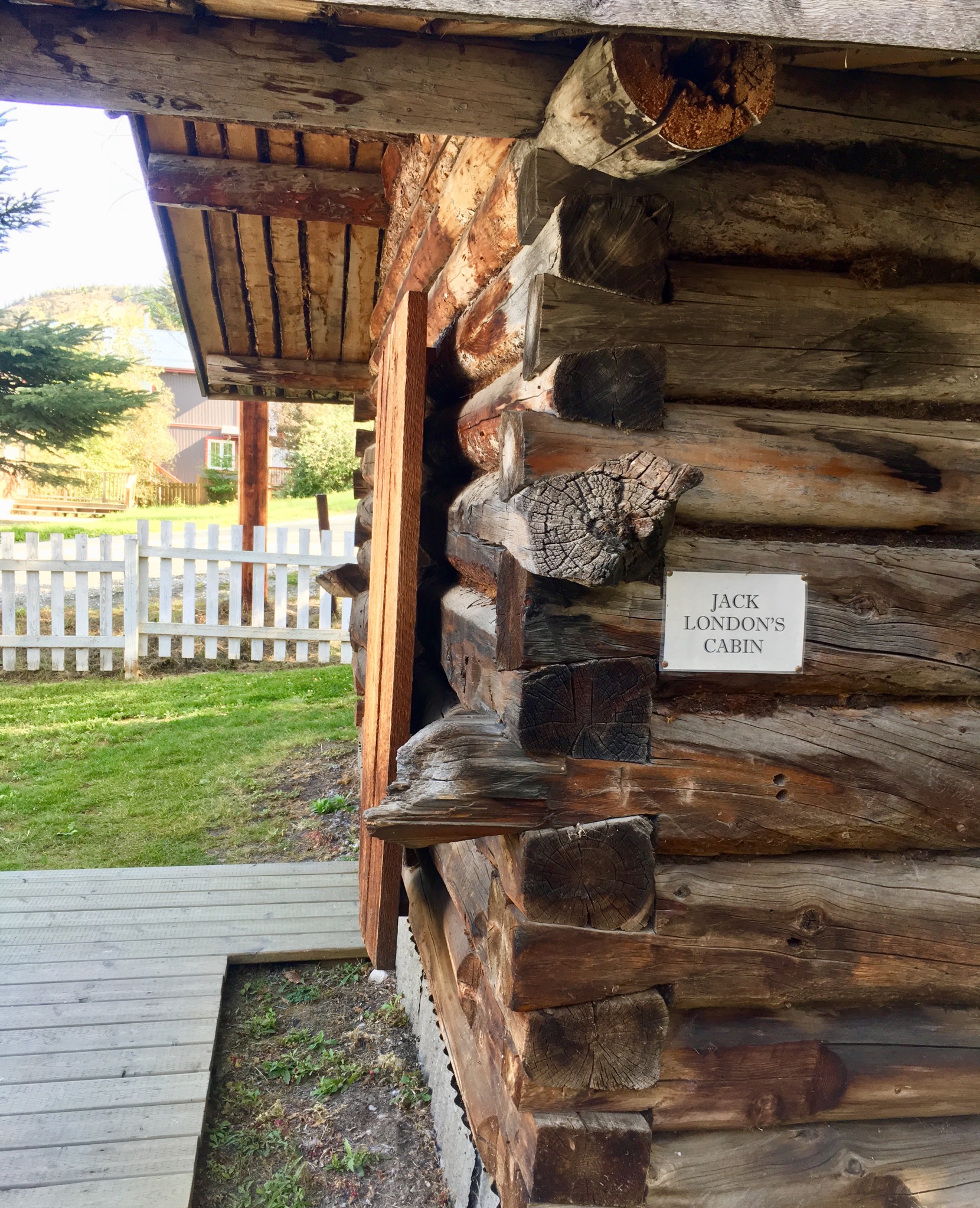
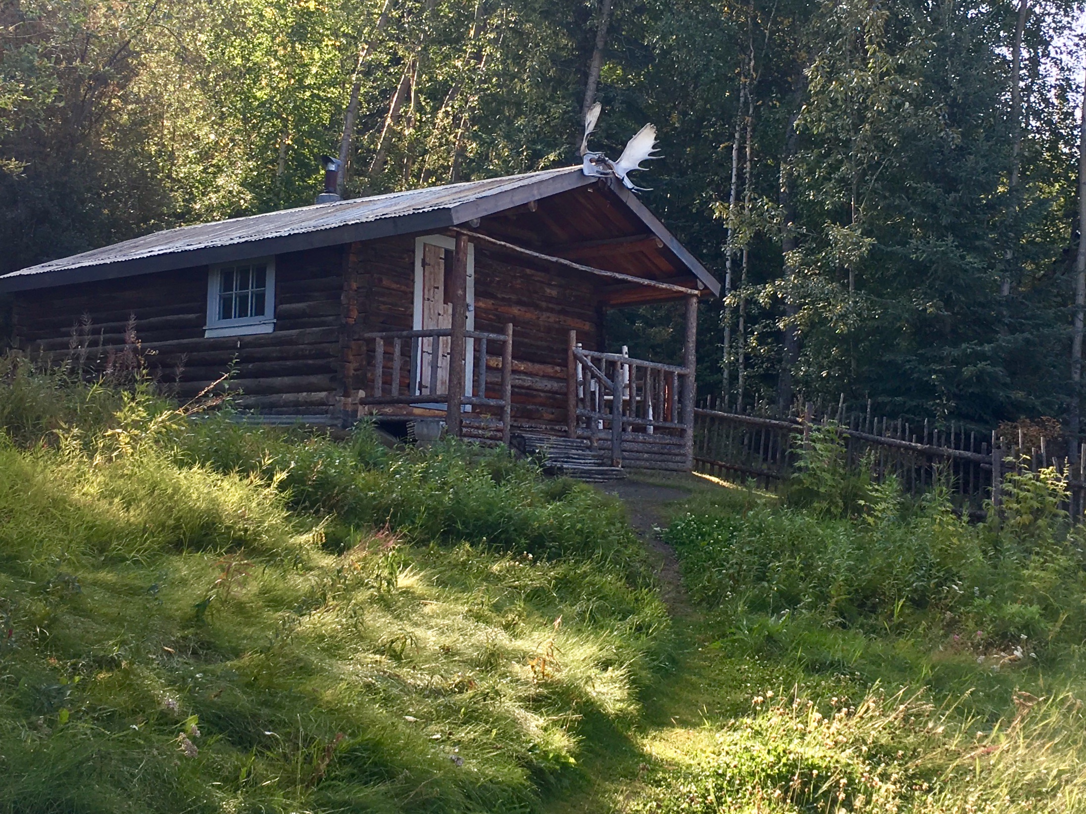
Living in a cabin like this in the wilderness would be a trial. Not sure the inspiration is worth the price.

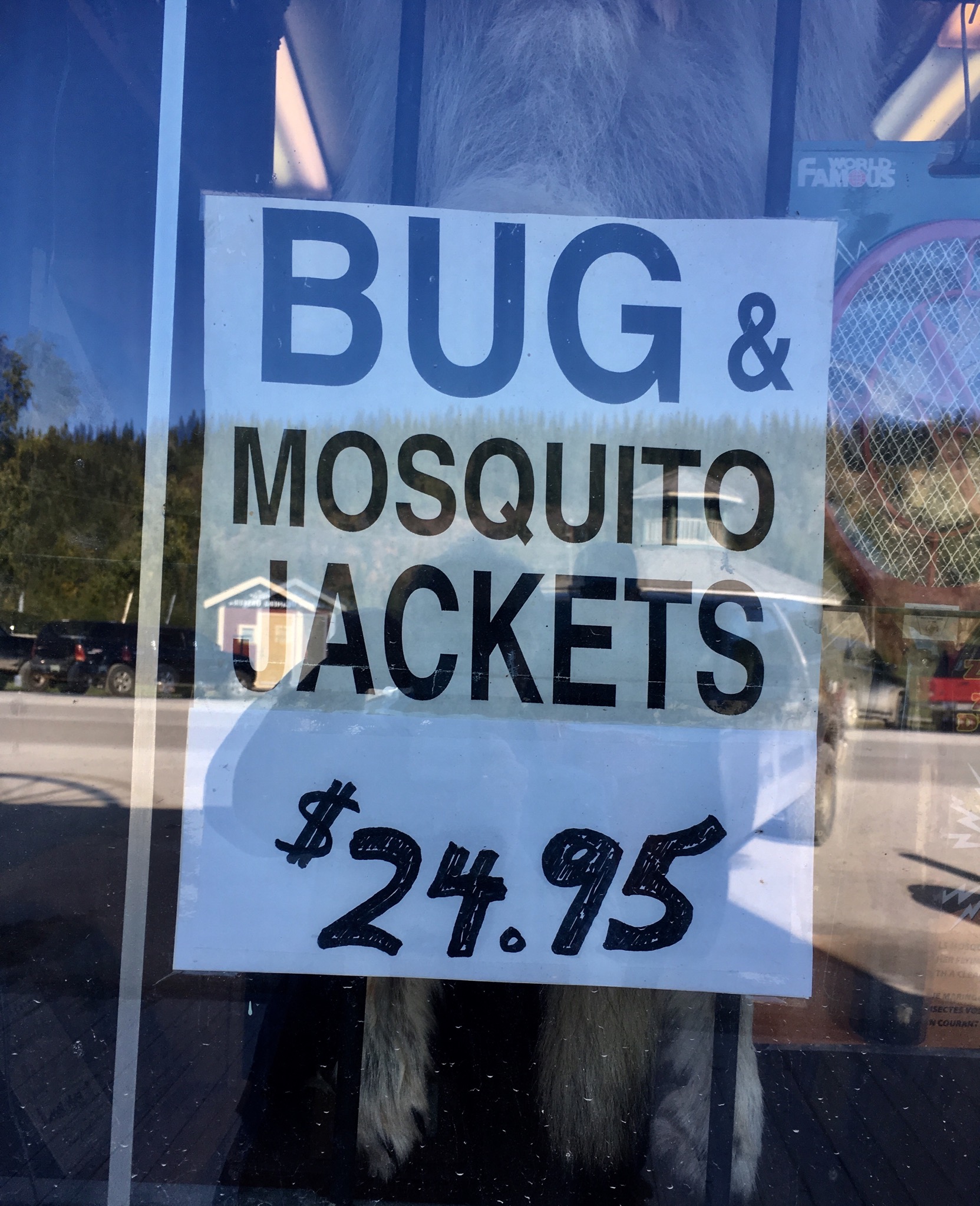
A warning. If the cold in winter doesn’t get you, the bugs in summer will.
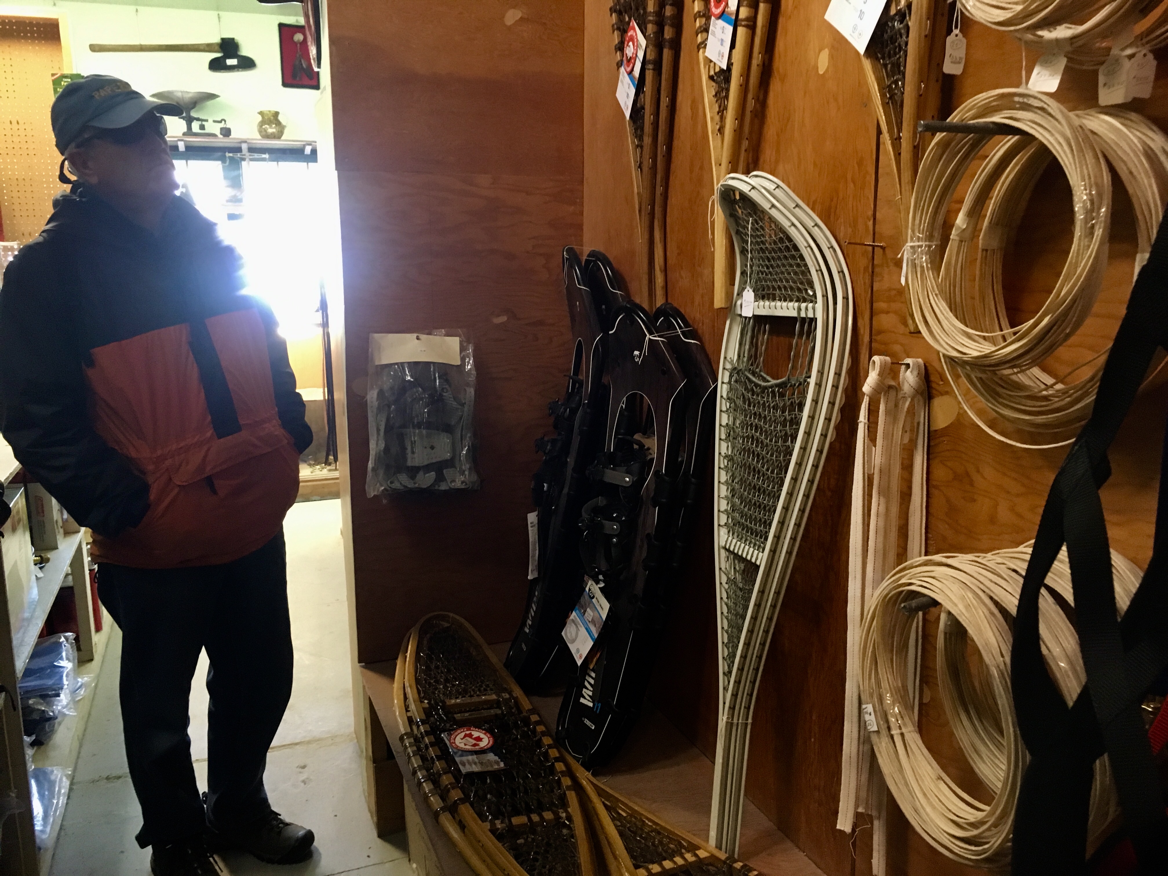
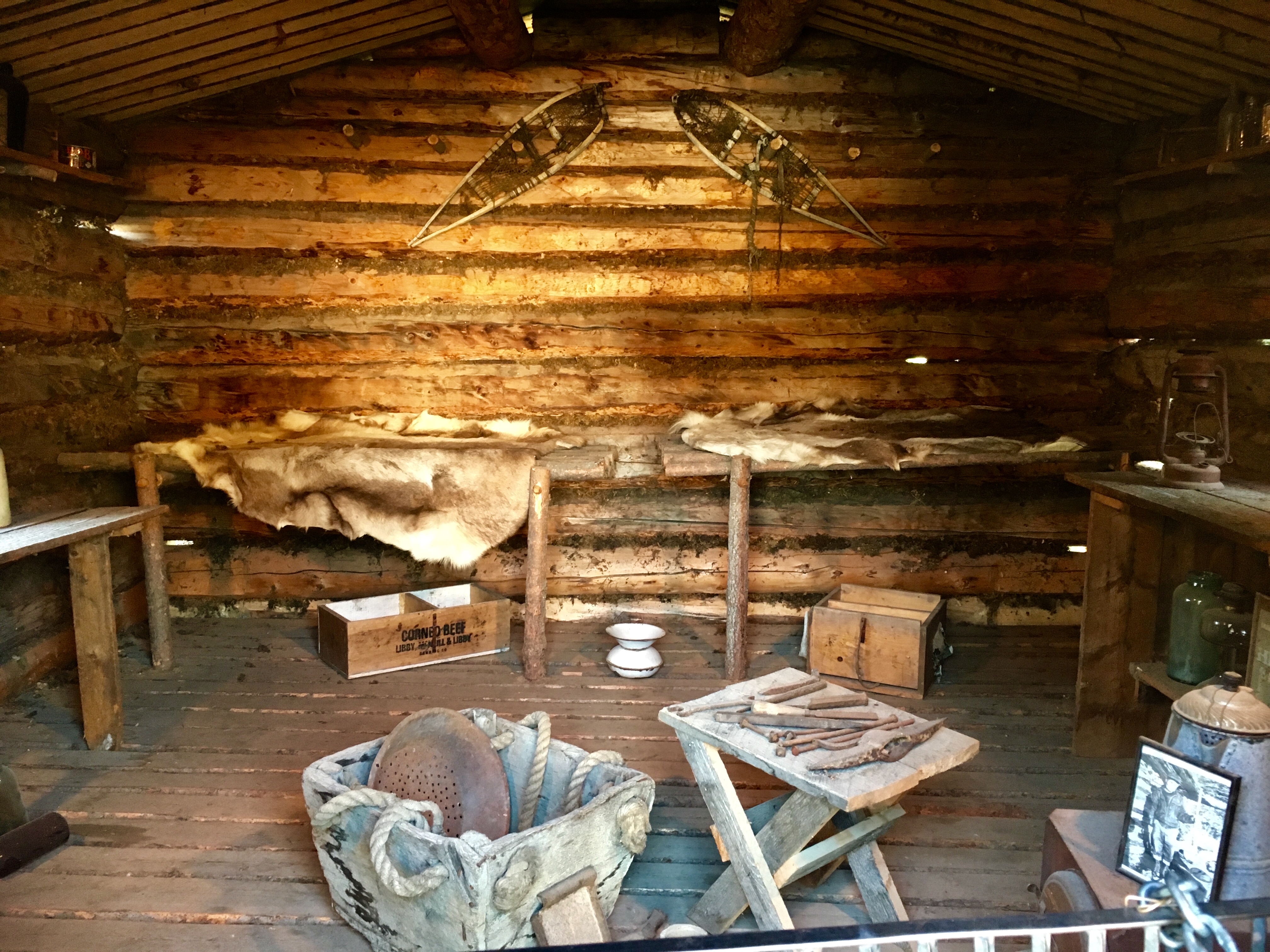
Snowshoes are understandably a big item. Lots of types, styles and sizes to choose from.
Get your gold pans!
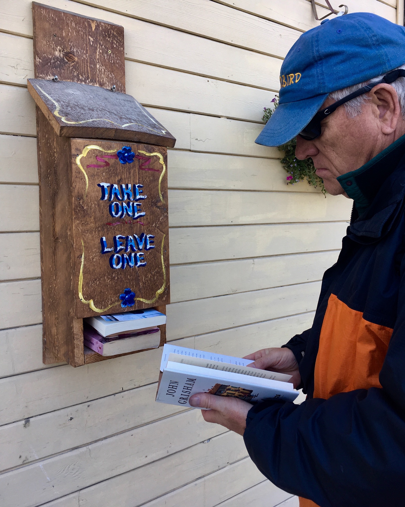
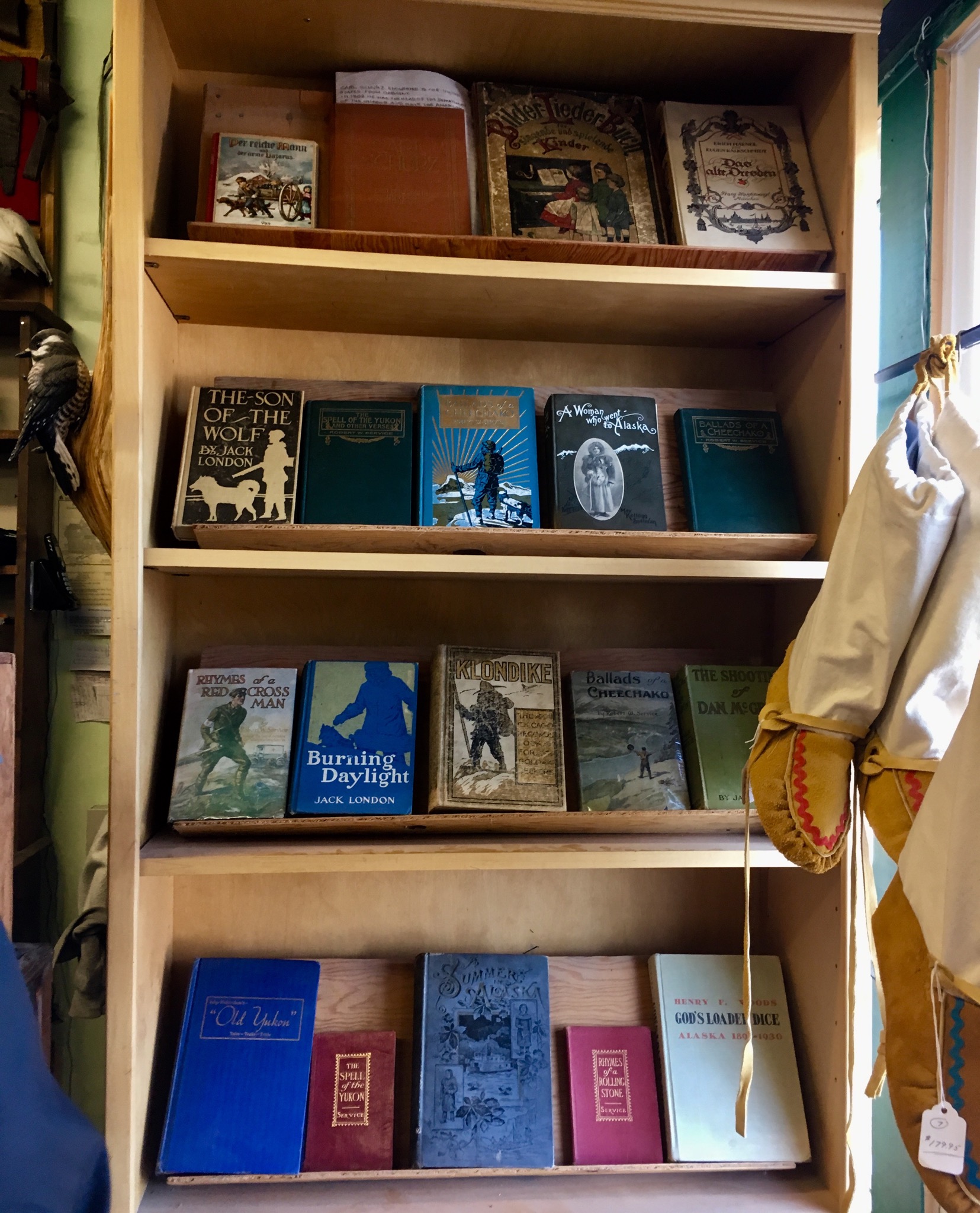
Reading libraries are everywhere. And we can’t pass one without looking through the books.
Yes – it was mid August when we were in Dawson!
Another view of our campground.
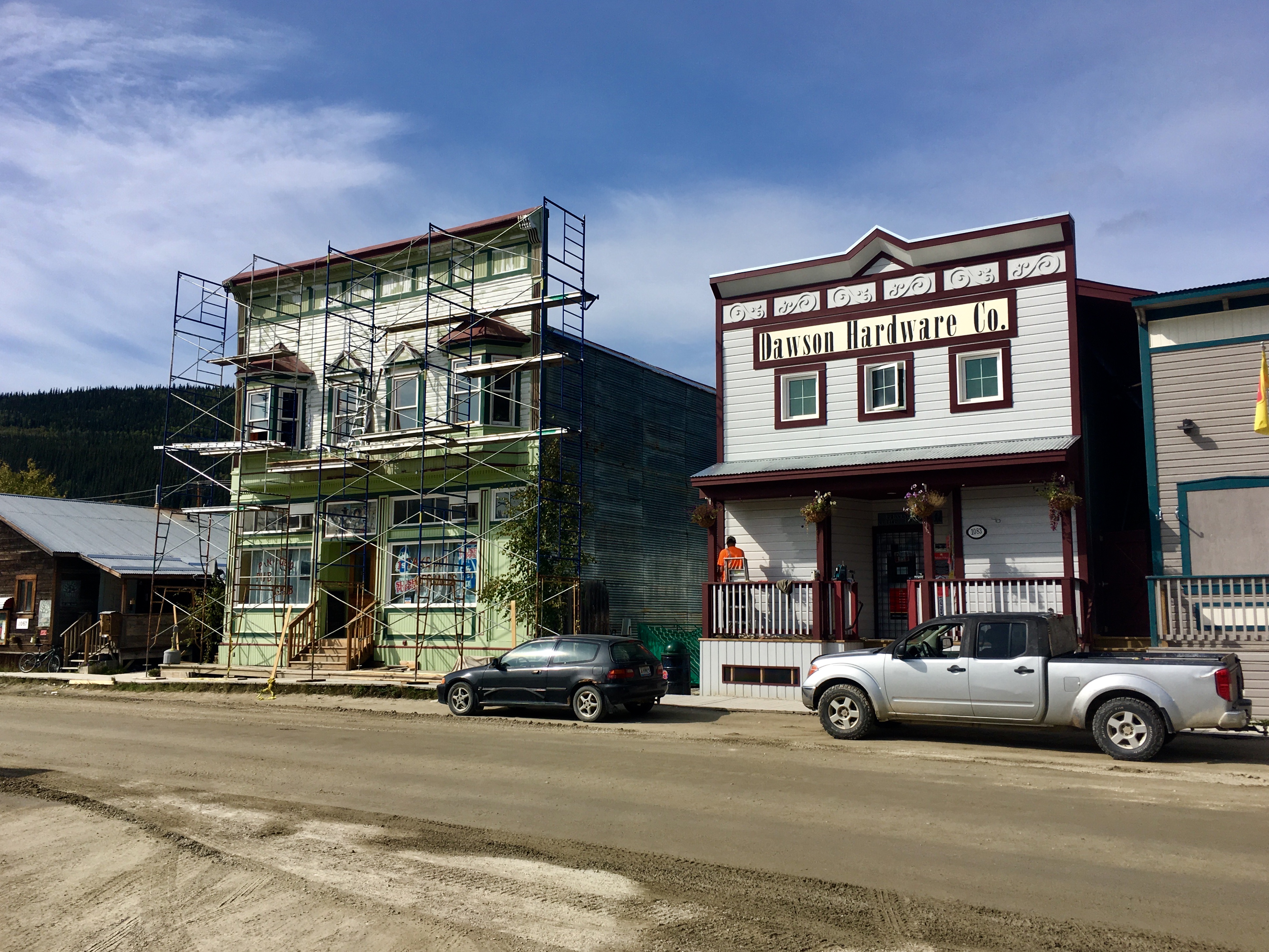
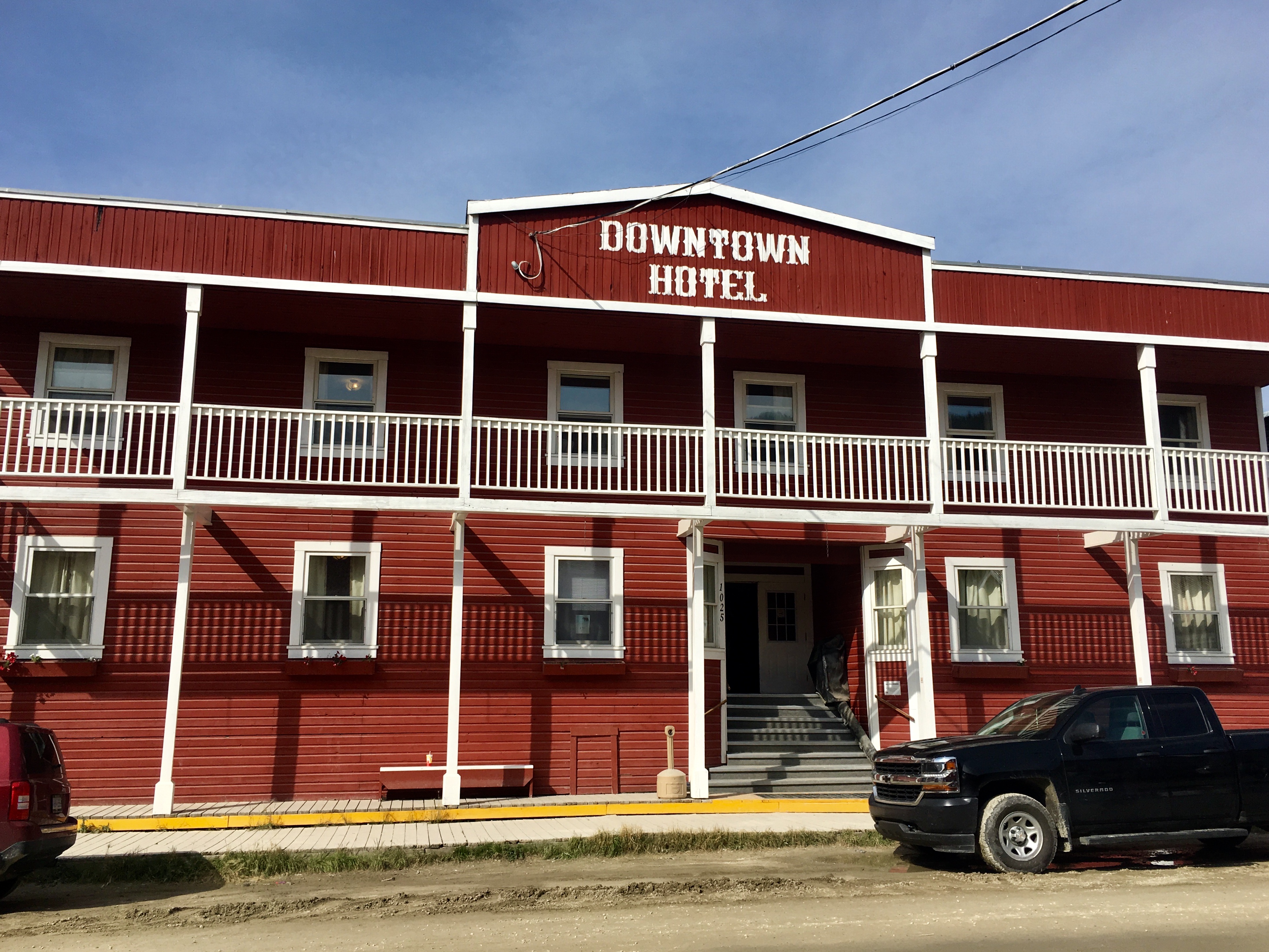
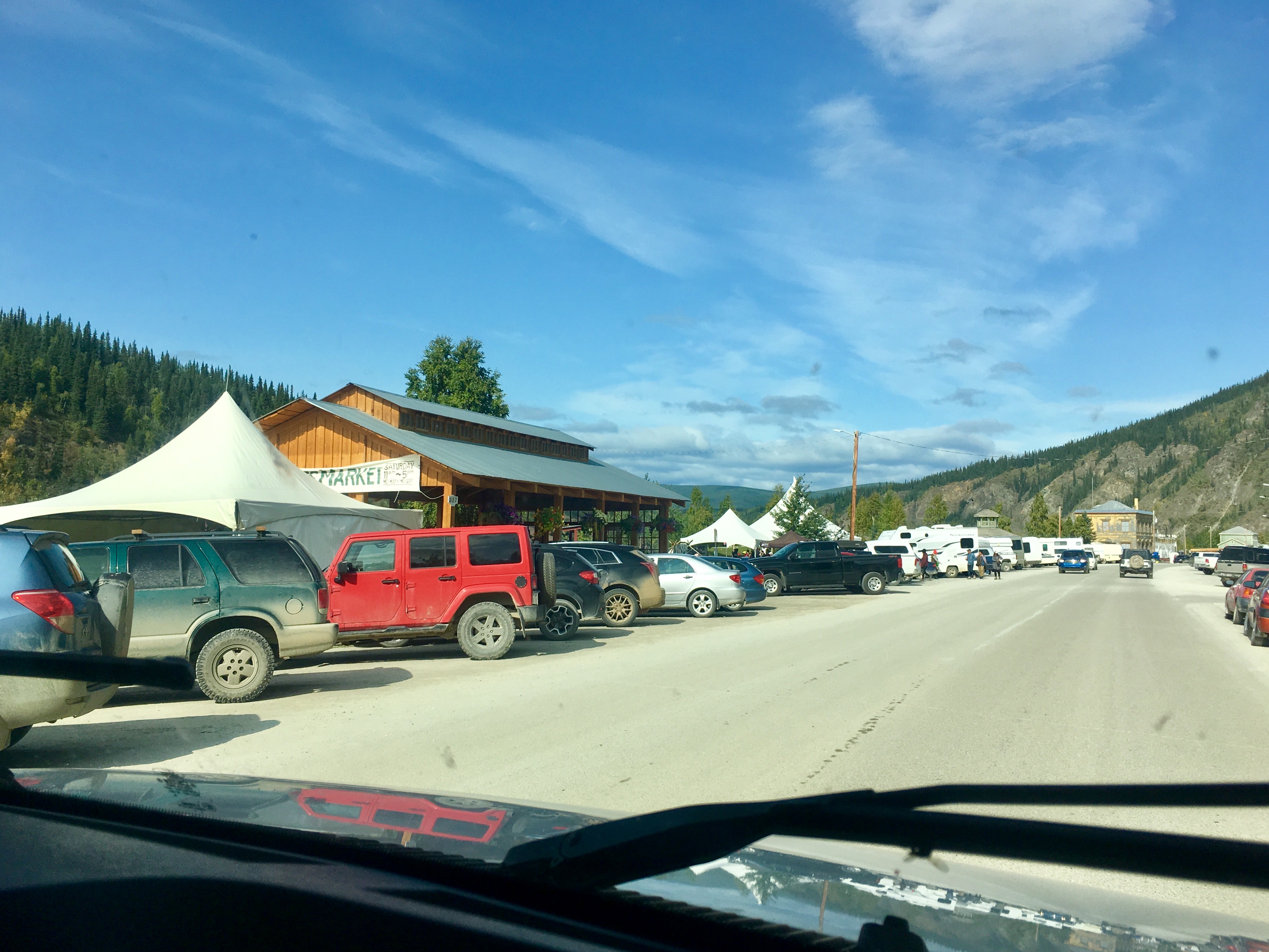
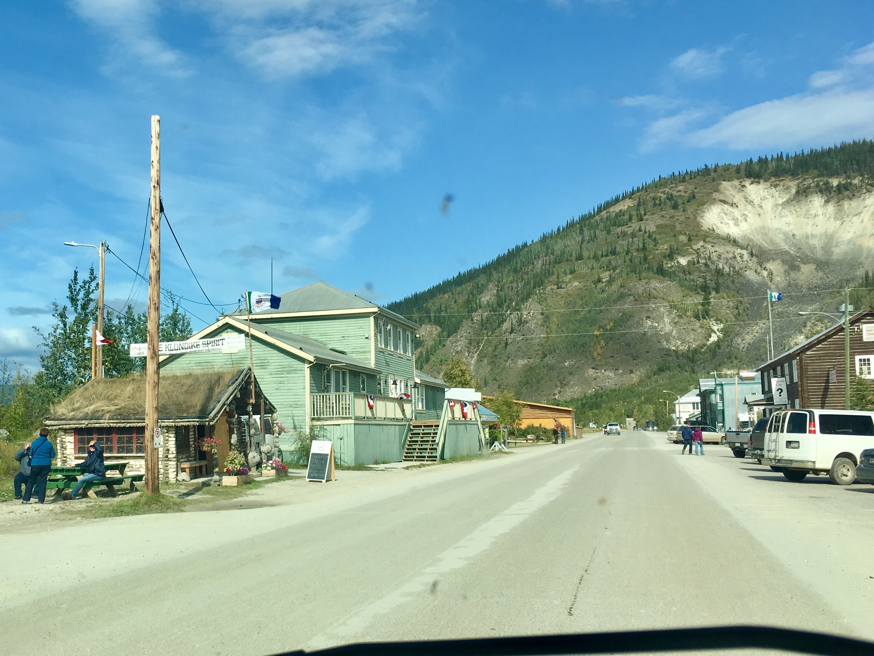
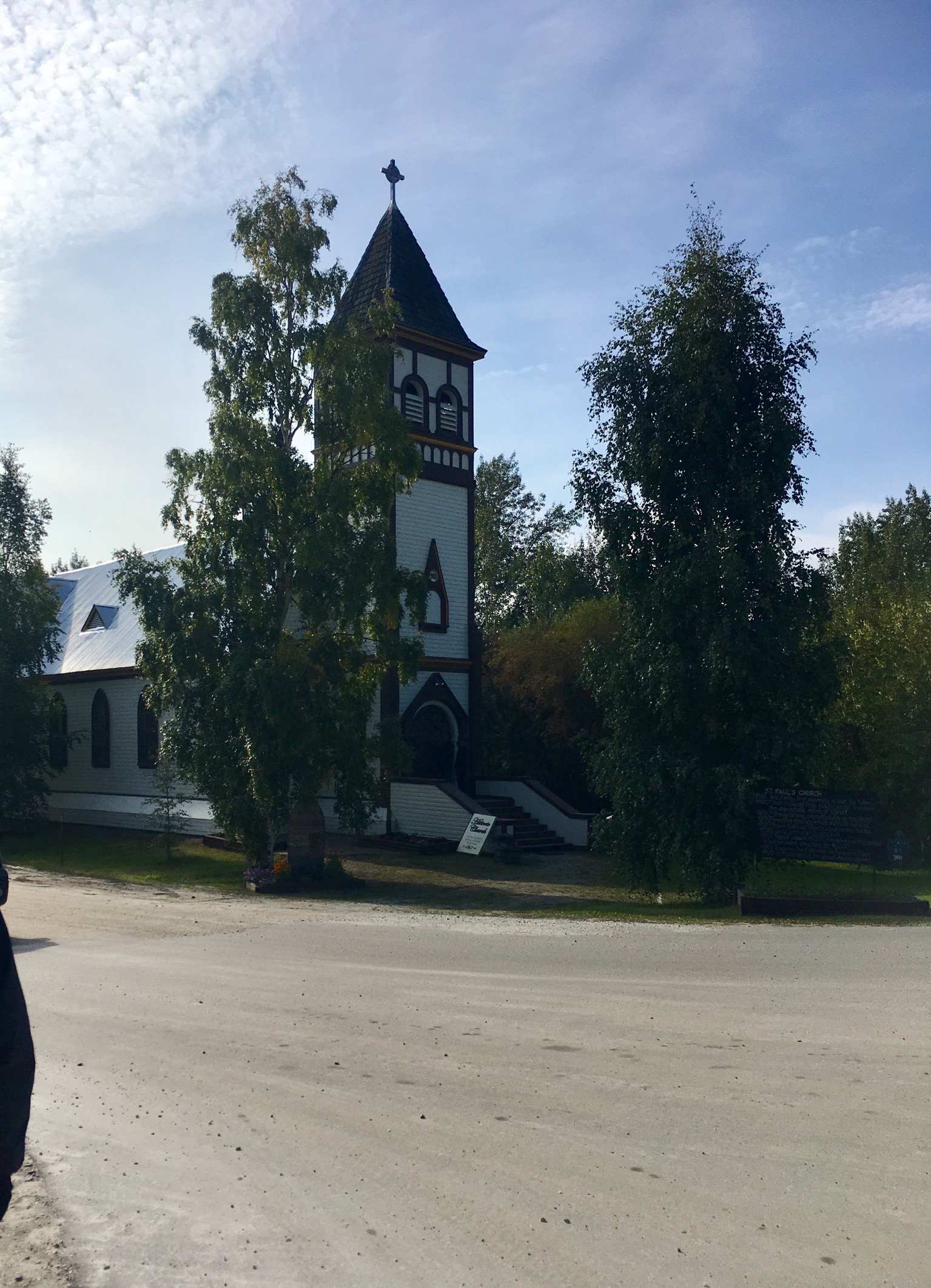
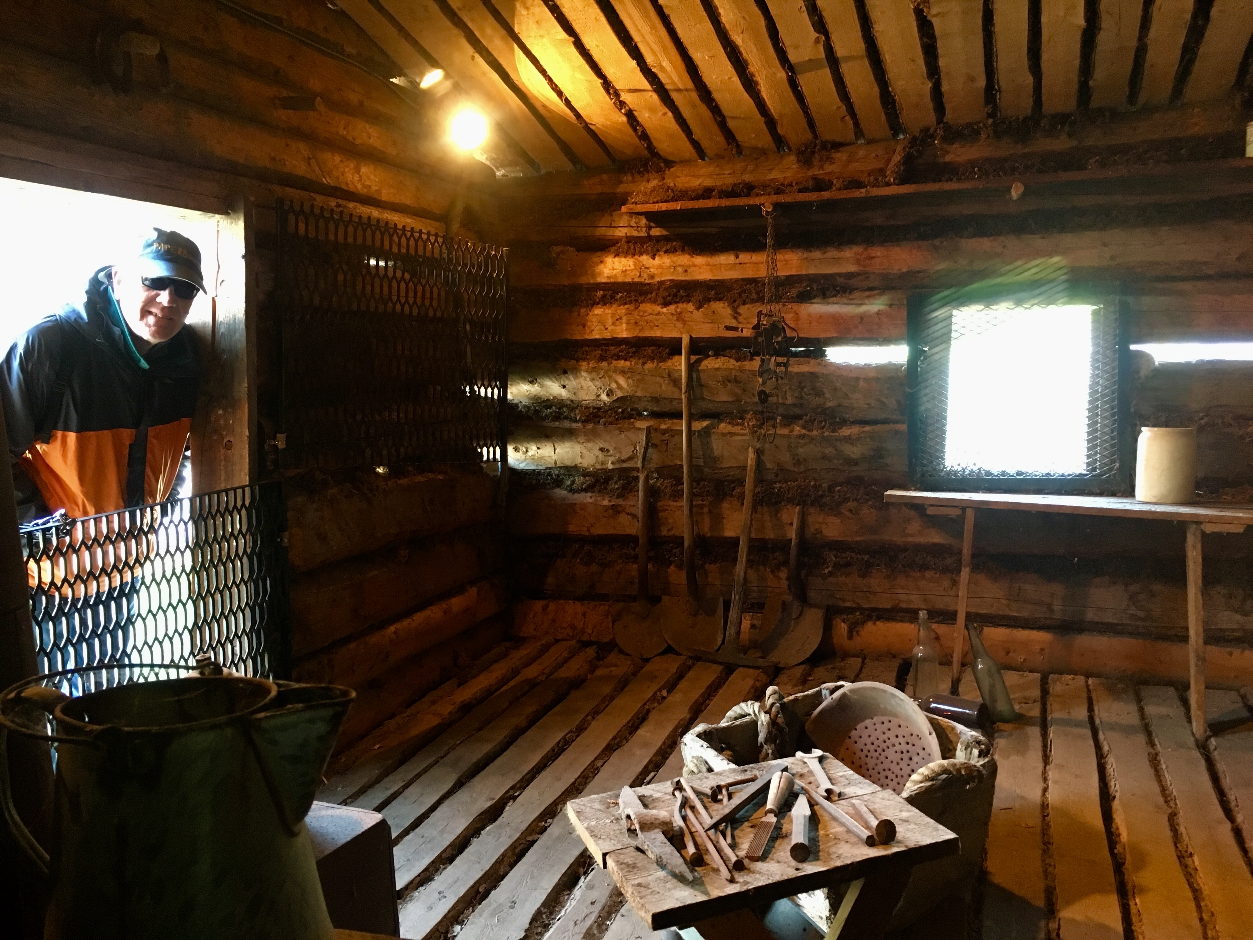
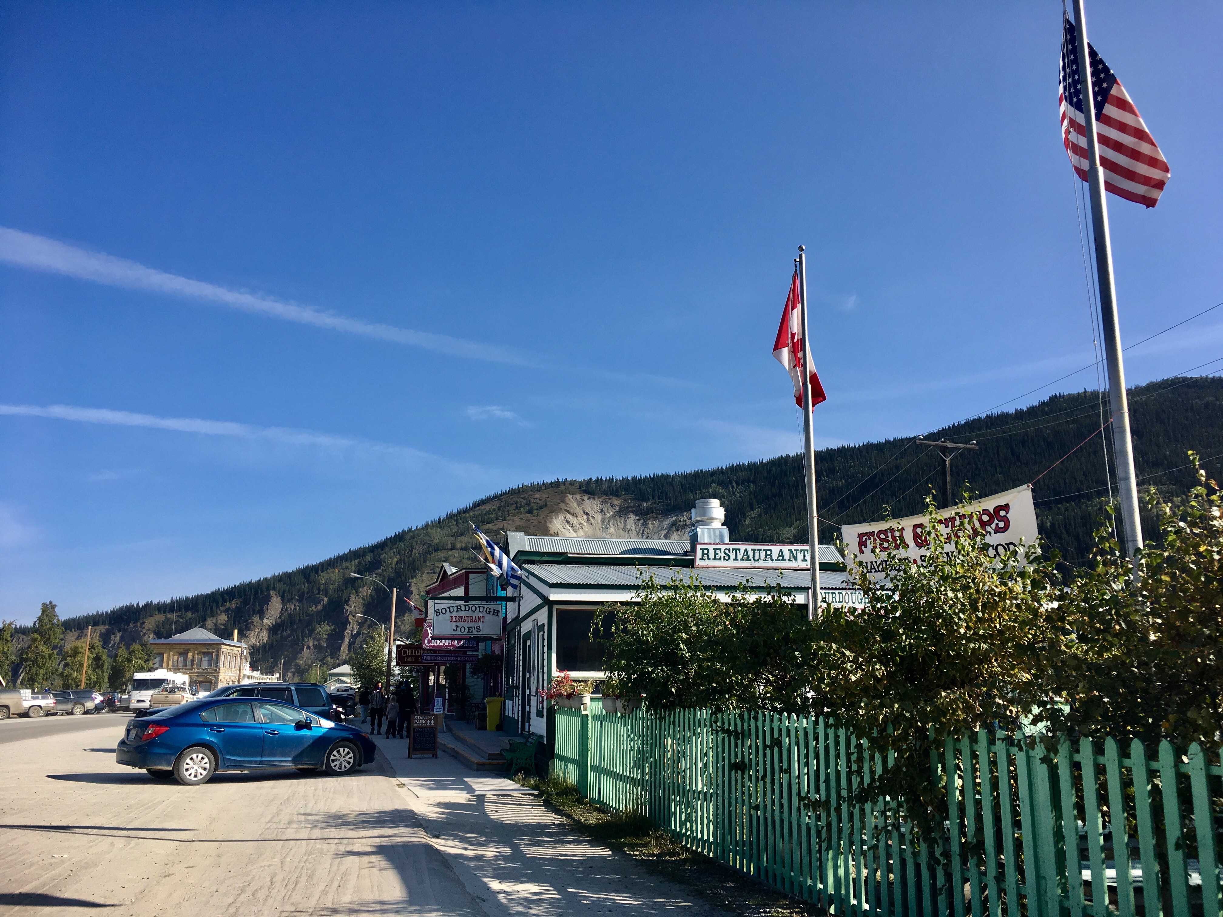
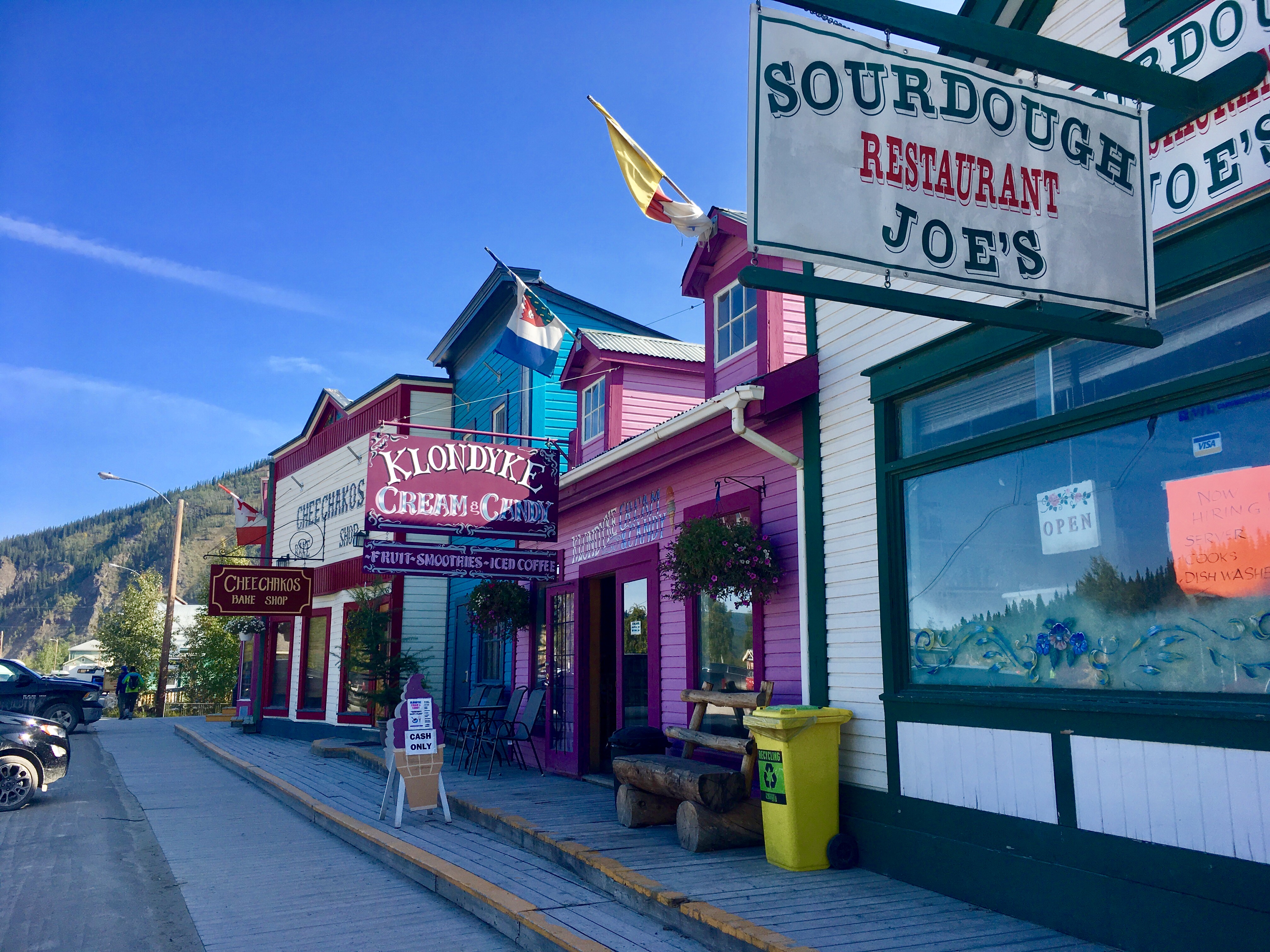
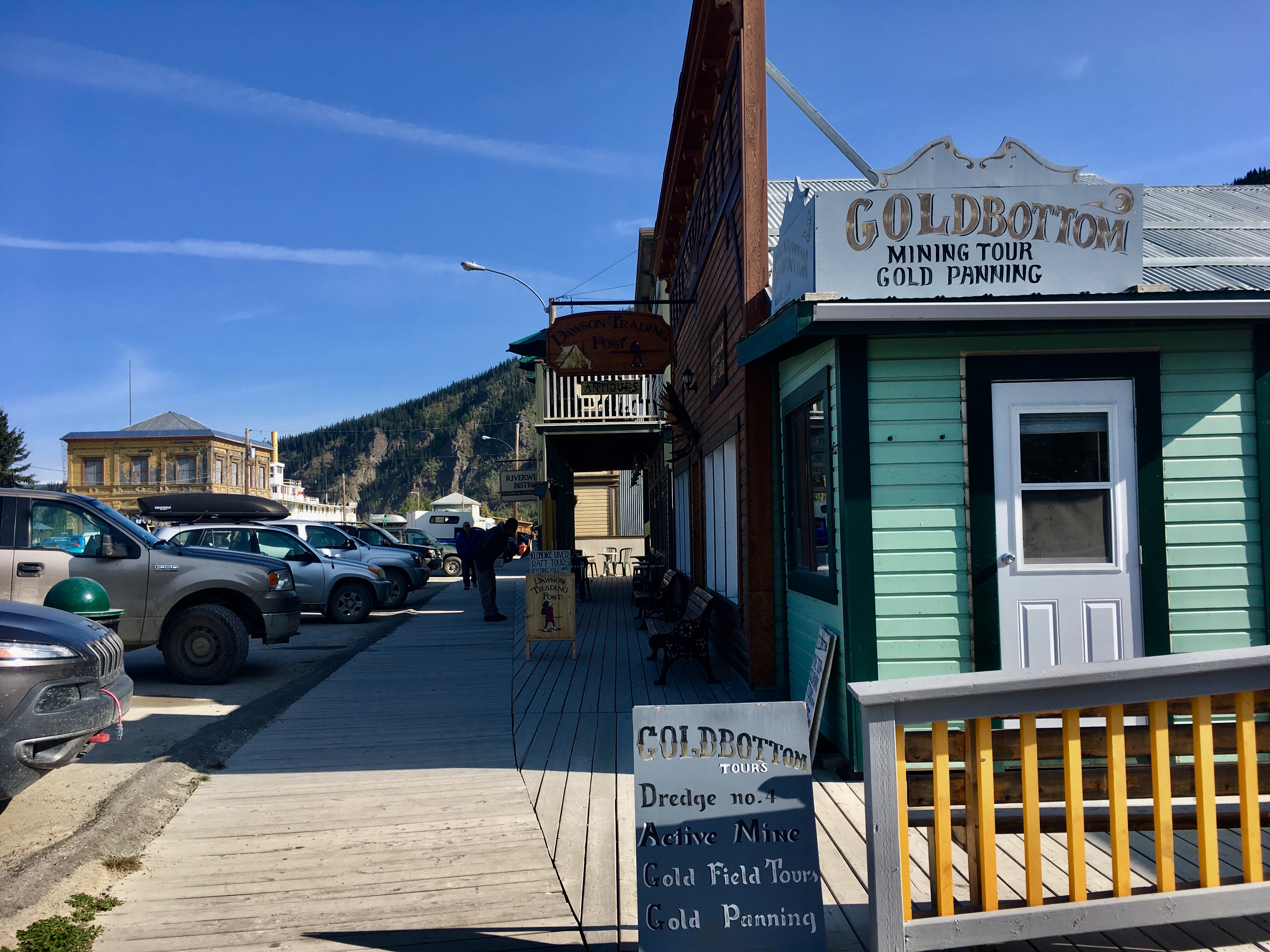
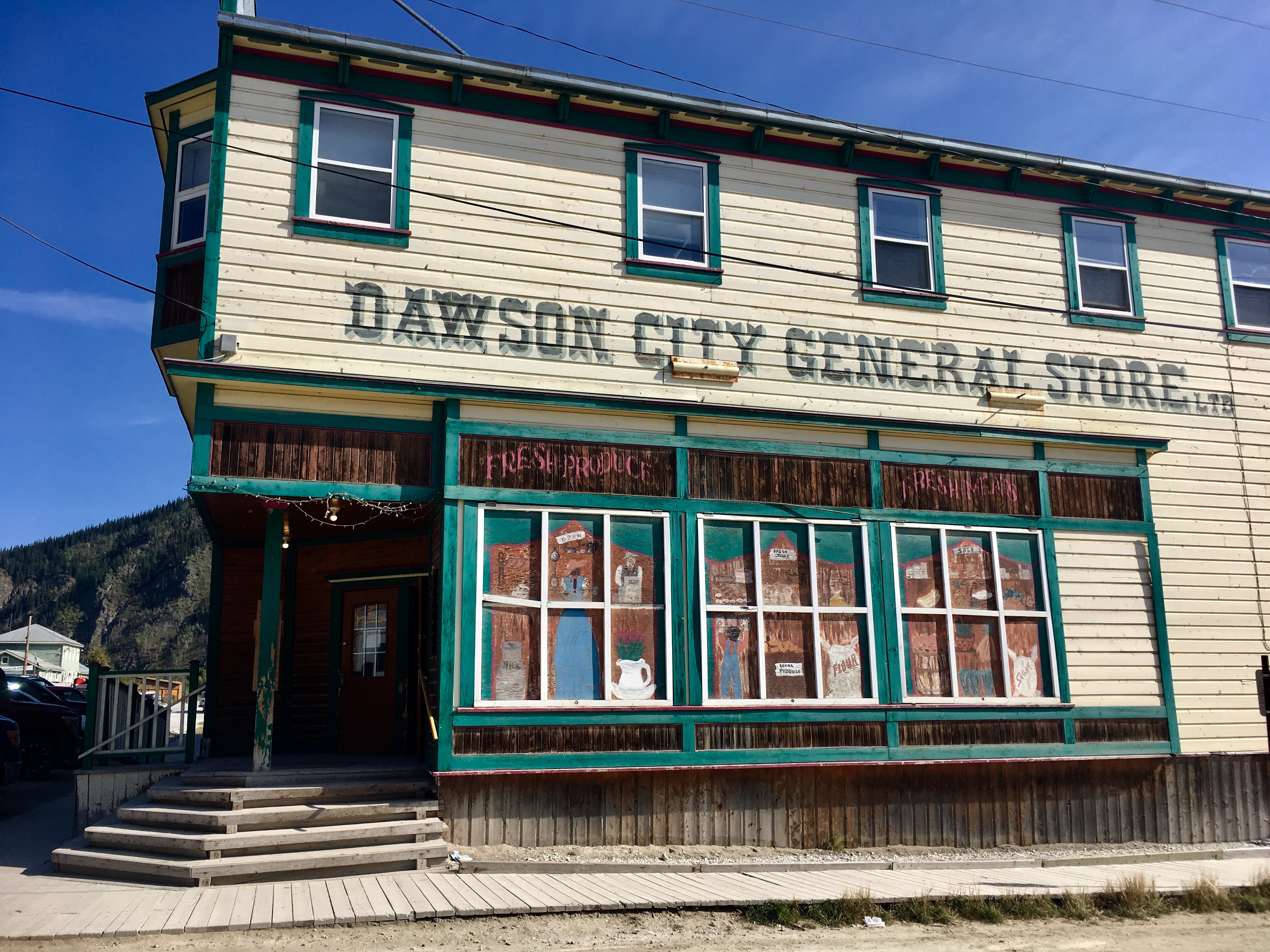
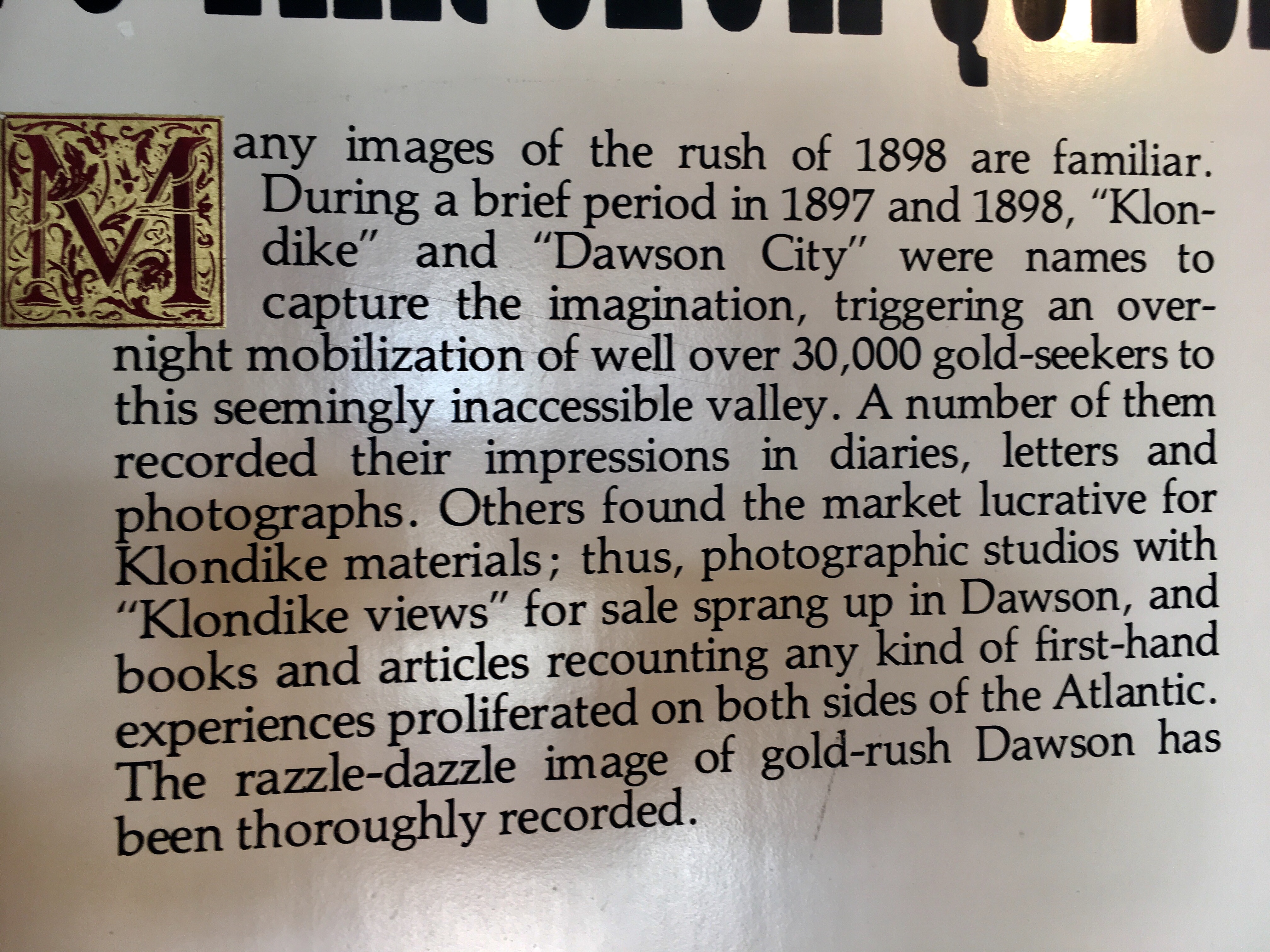
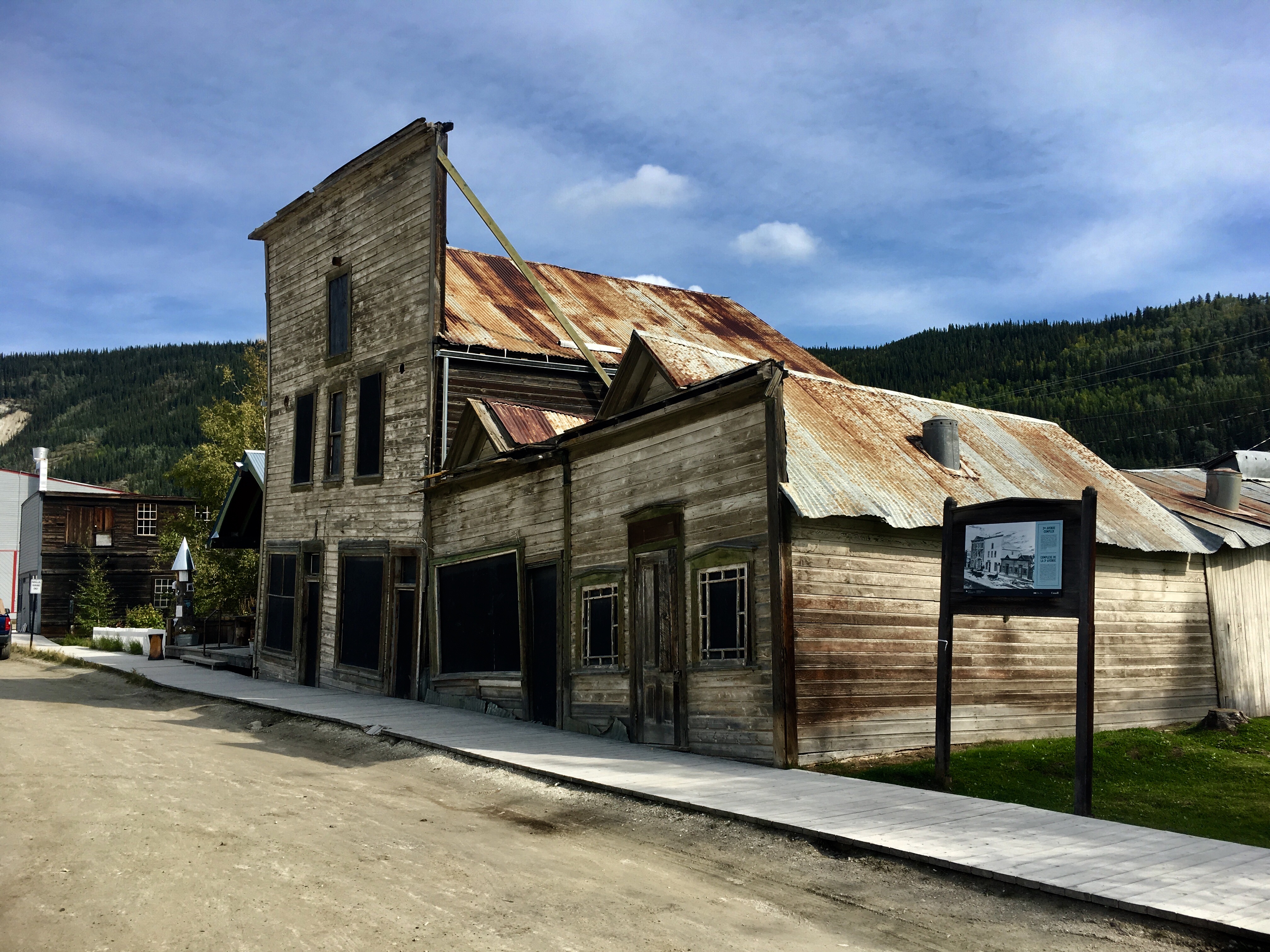
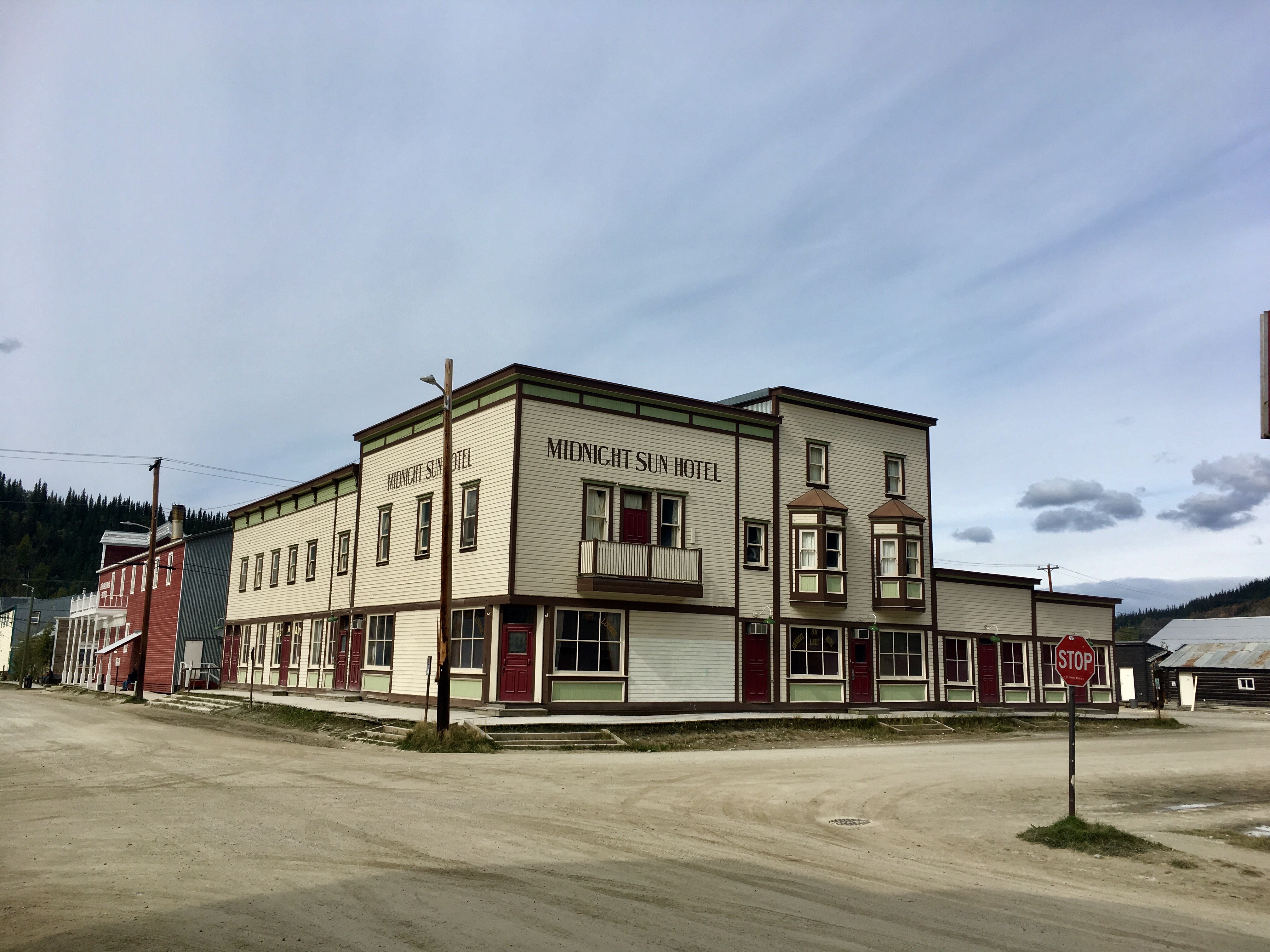
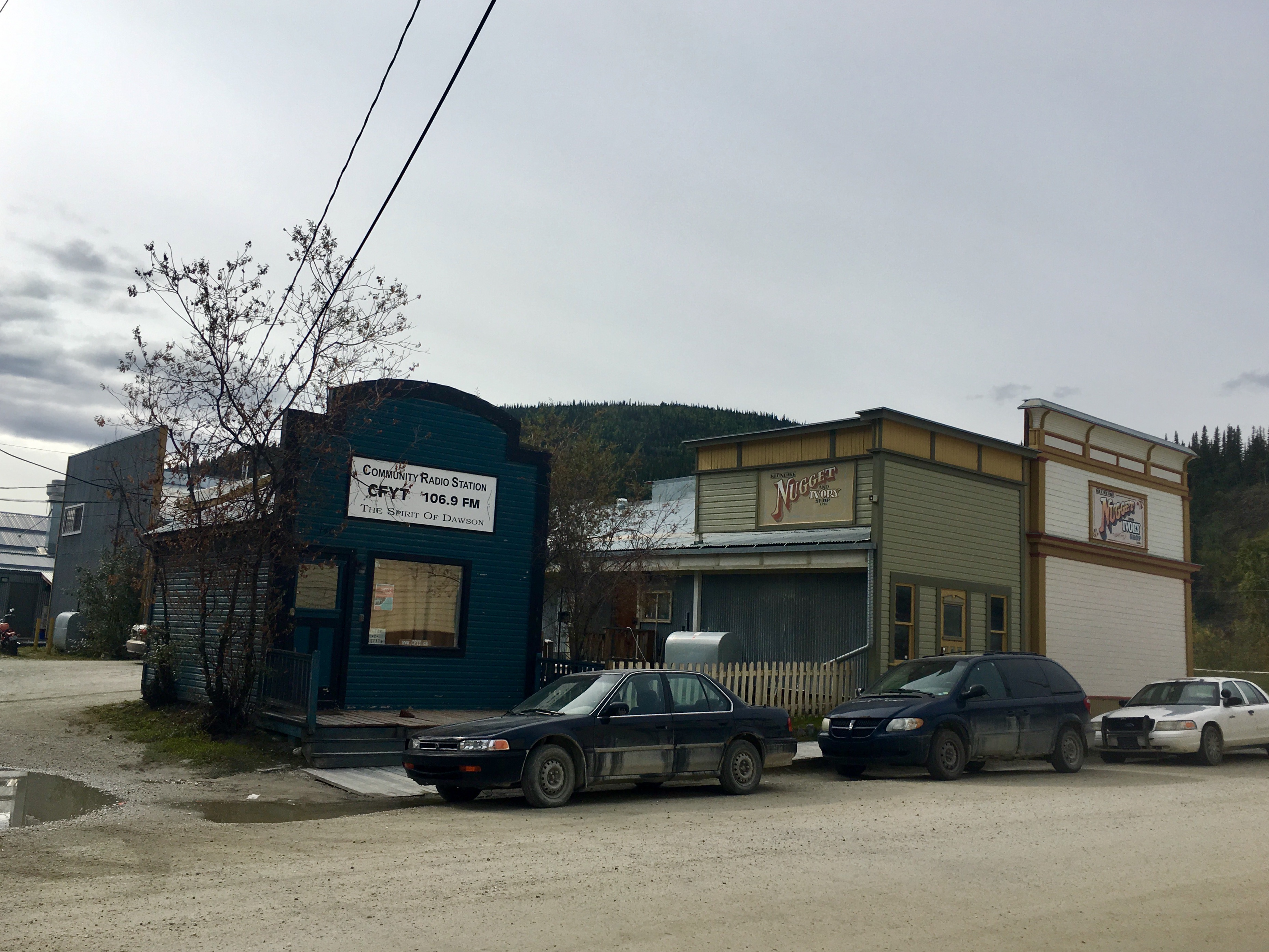
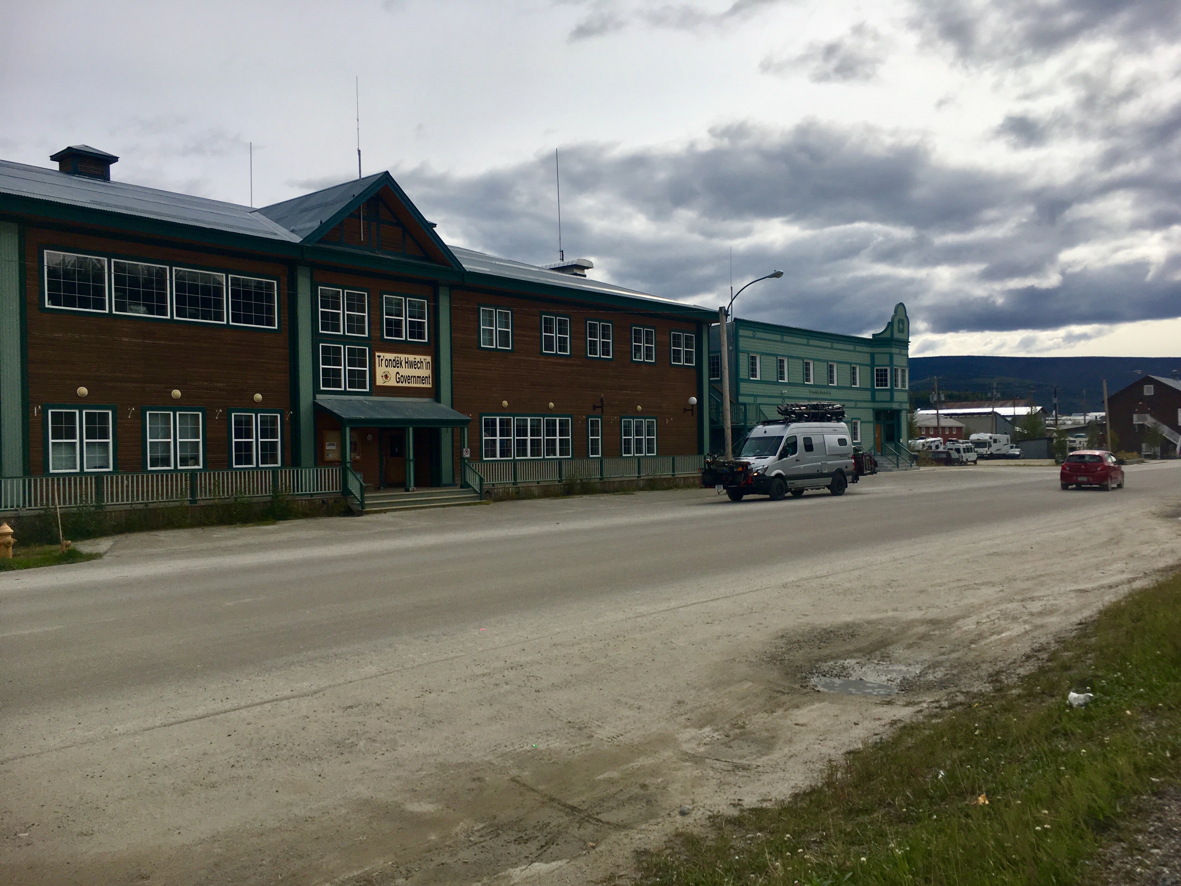
Dawson was the most genuine town we visited. The whole place had an authentic feel to it. It was fun walking around and looking at the various old buildings.
The roads take a toll on the cars. The rains don’t really wash the mud off. And it doesn’t do much good to wash it off – it just comes back in a couple days.
So many messages in just one small sign.
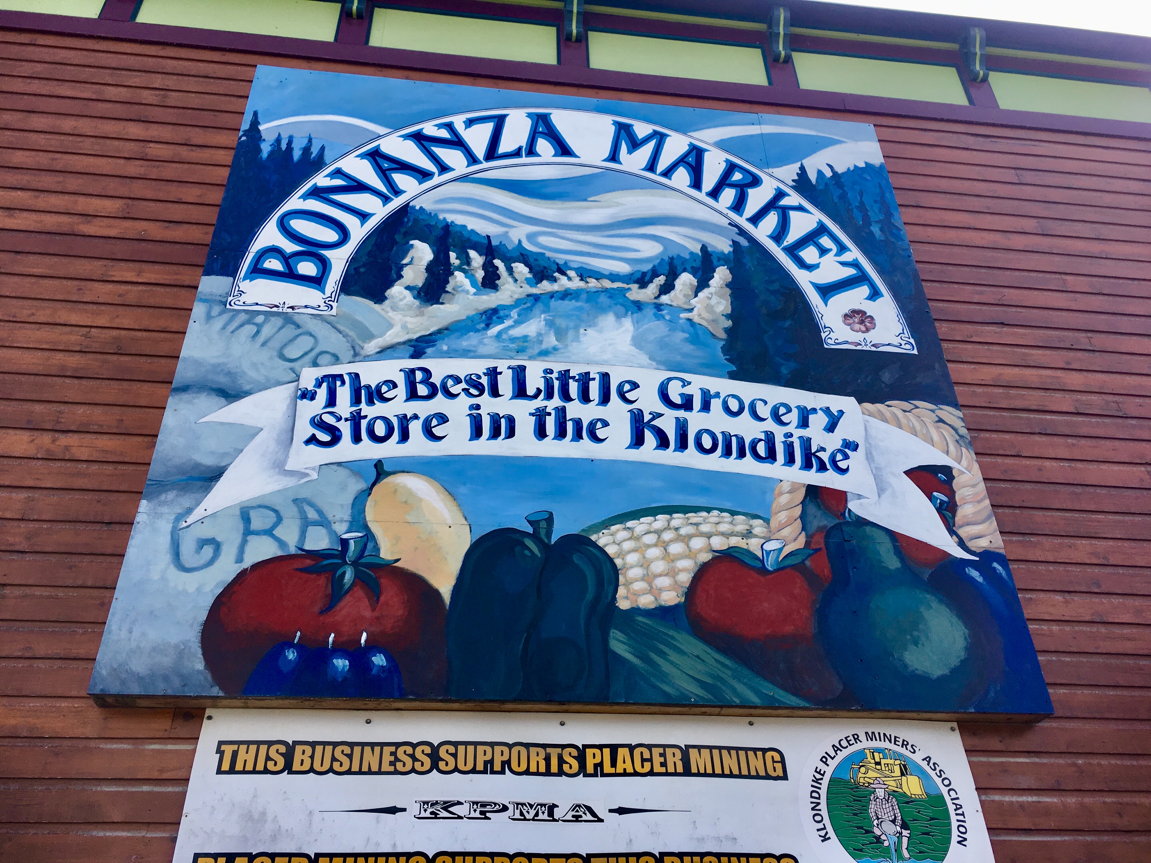
Most of the names of businesses are related to the gold rush days.
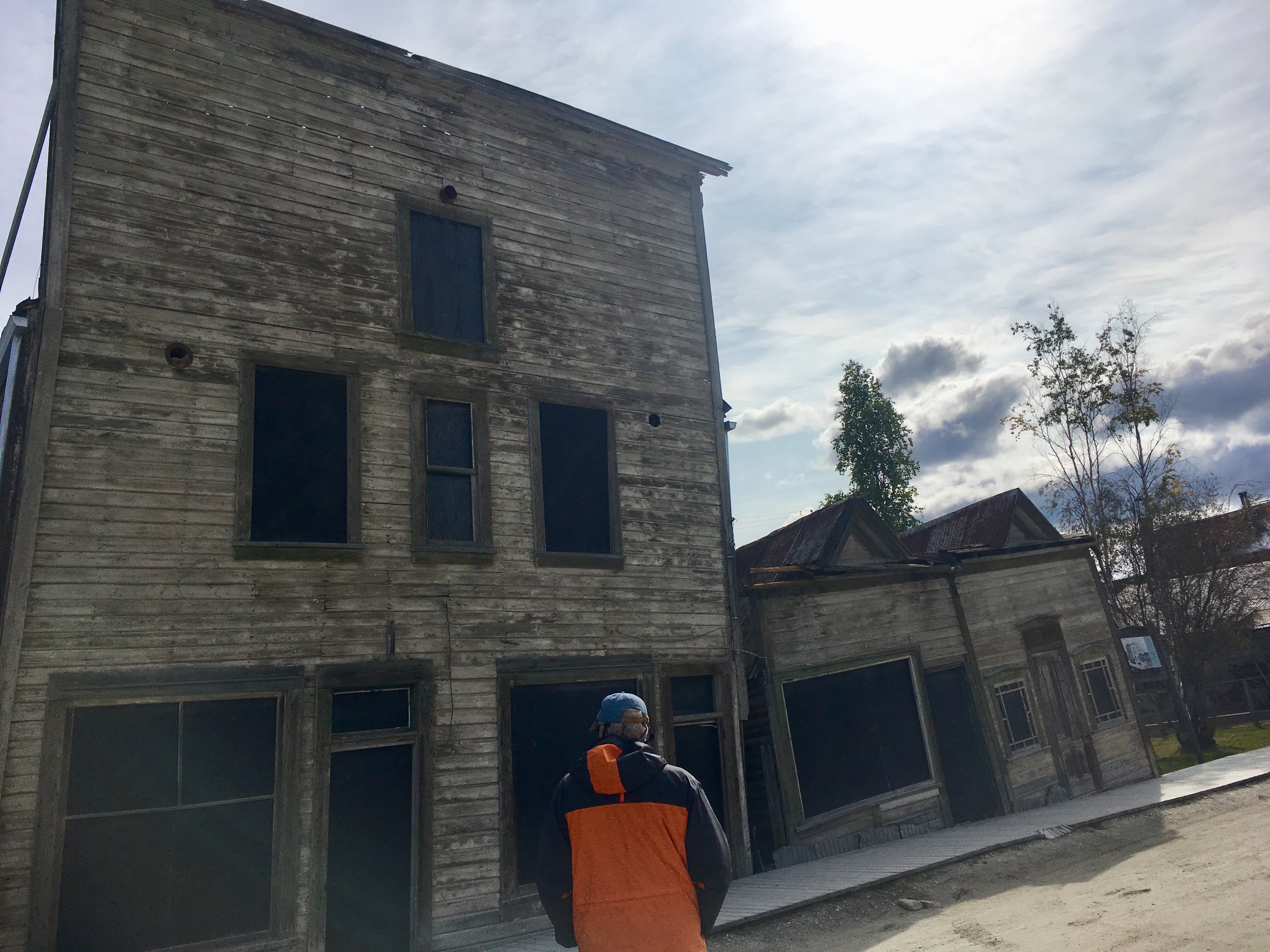
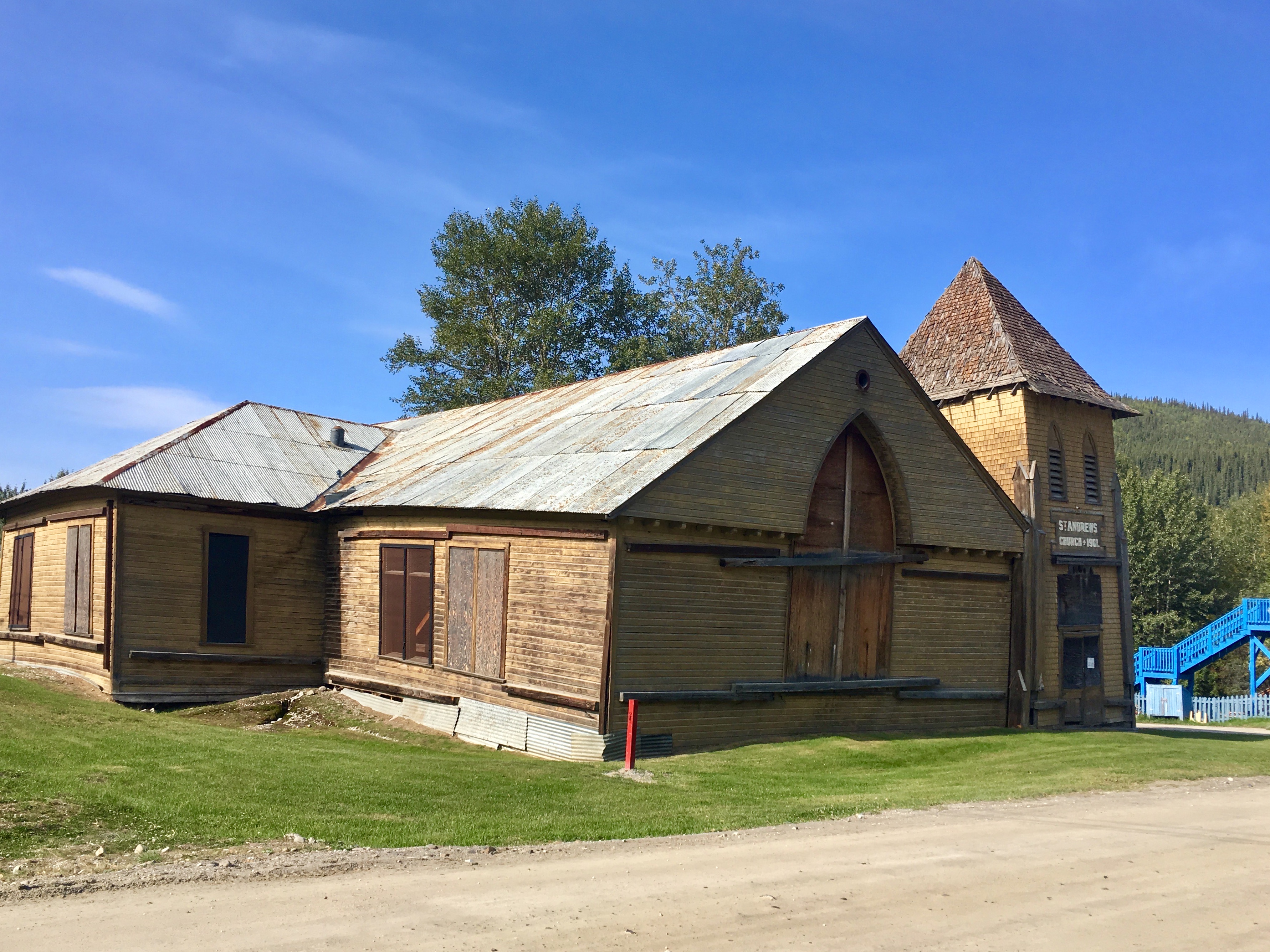
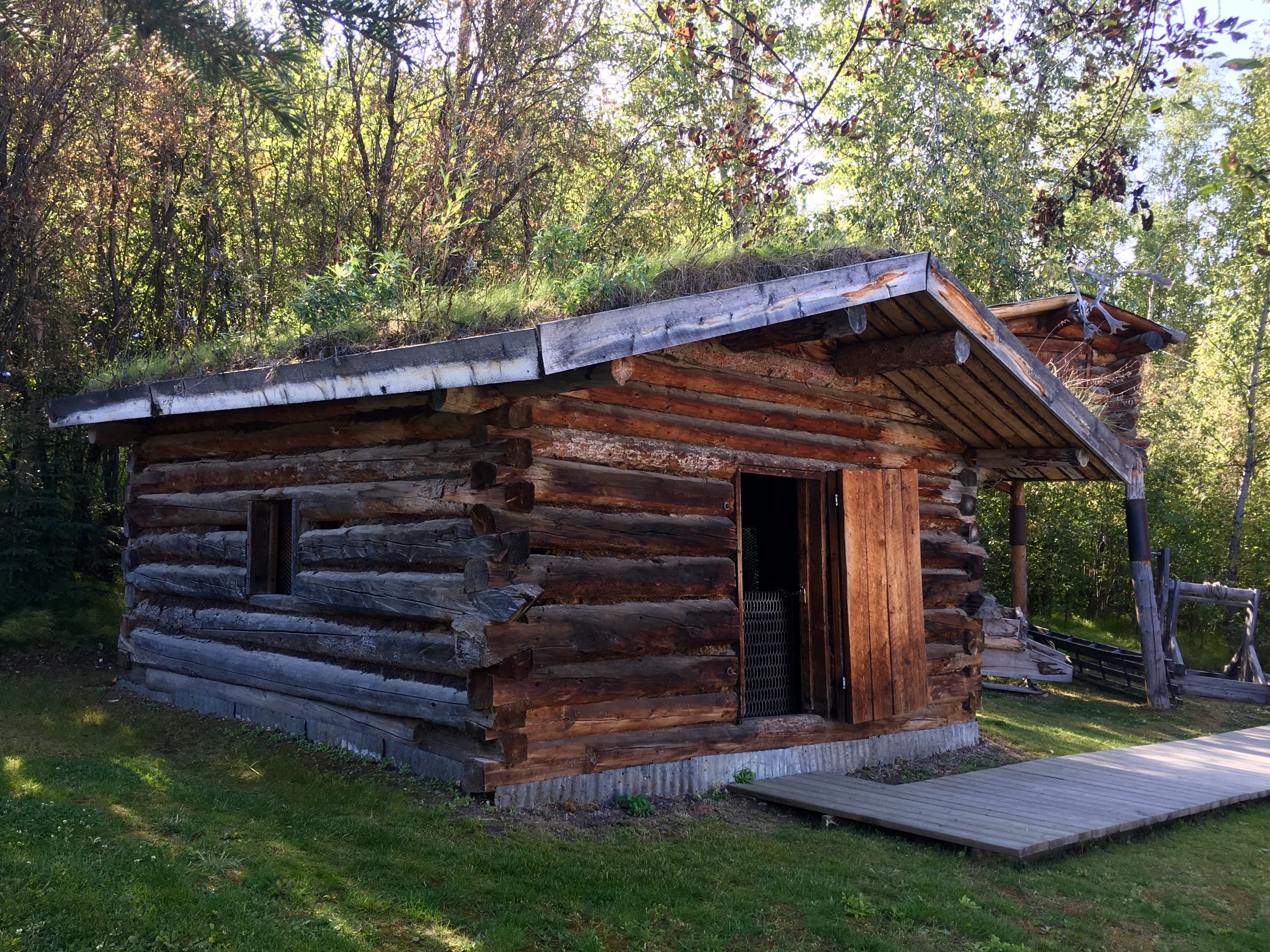
These buildings were left without restoration as an example of the challenges of building in Dawson. The smaller building on the right had a wood stove on the left side, near the taller building. The heat from the wood stove melted the permafrost and caused the building to settle. Since all the buildings are on either marsh or permafrost, there were some very unique challenges in building.
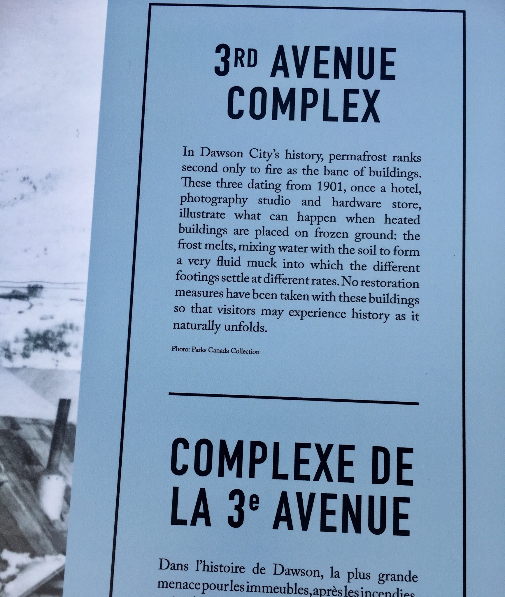
Another view of the settling caused by melting permafrost.
One of the interesting stories we learned from Pierre Burtons book was about a guy who went with the gold rushers, but didn’t actually search for gold. Instead he surveyed the ground at the steamboat landing and sold off lots to people who wanted to build either cabins or businesses. He made out much better than most of the miners!

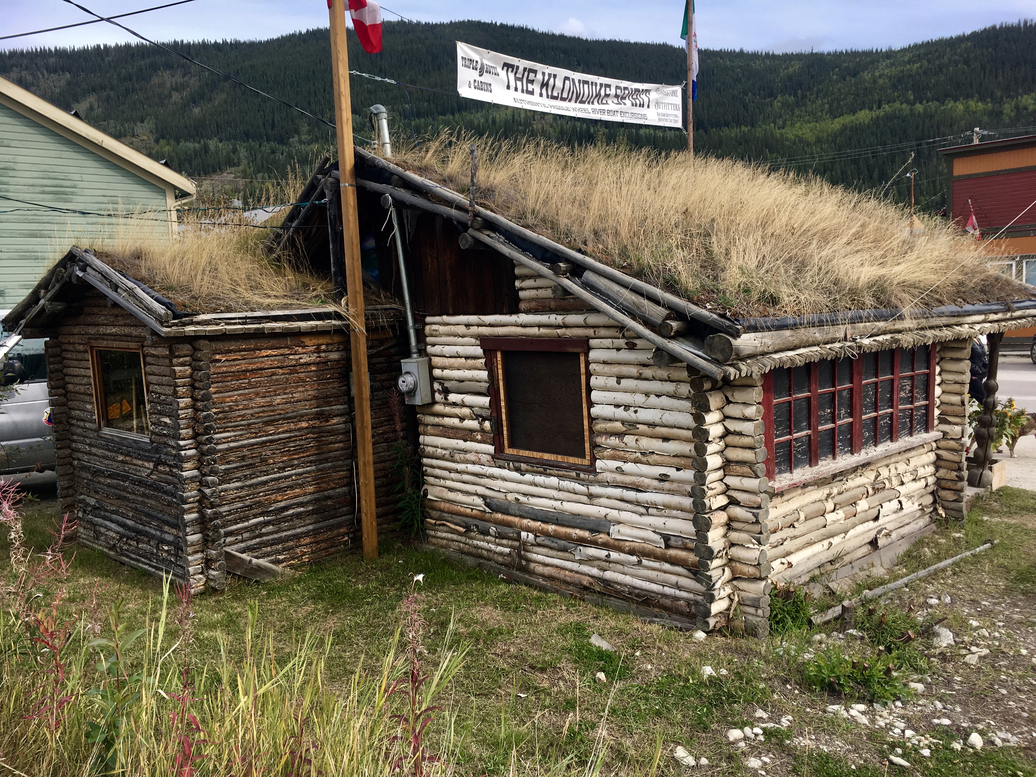
Sod roofs provided insulation against the long, cold, bitter winters.

Fire was a serious danger to the town. Given that many of the buildings were saloons, made of wood and filled with people drinking, fire was an all too common occurrence.


This was our campsite for our visit to Dawson. Right in the middle of town within easy walking distance of everywhere.
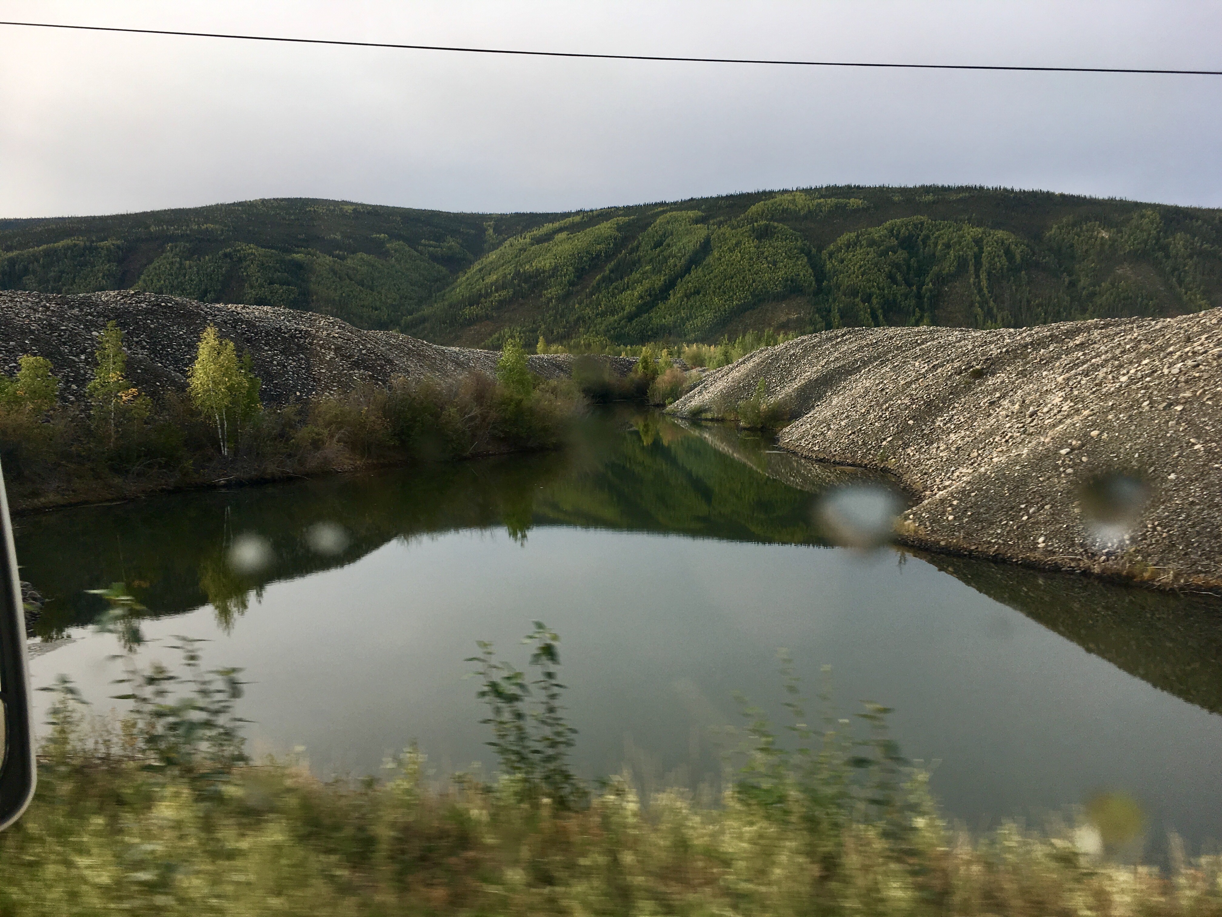
After all the easy gold was mined, someone realized that the creek beds must still be loaded with gold dust and nuggets. The easiest way to get the gold from deep in the creek beds was to turn the creeks upside down. So huge dredges were built to do exactly that. The bottoms of the creeks were gradually dug up, the gold sifted out and the rubble piled up next to the dredge. So the area around Dawson City is a vast expanse of those rubble piles, called tailings. A very effective way to get the gold. Not very effective for maintaining the beauty of the area.
But if not…
Even though we opted not to take the Top of the World Highway, we did decide to take a side trip up to Dawson City. We’re really glad we did. The ride up and back and Dawson City itself were all well worth the extra miles.
We love their slogan – and agree with it.
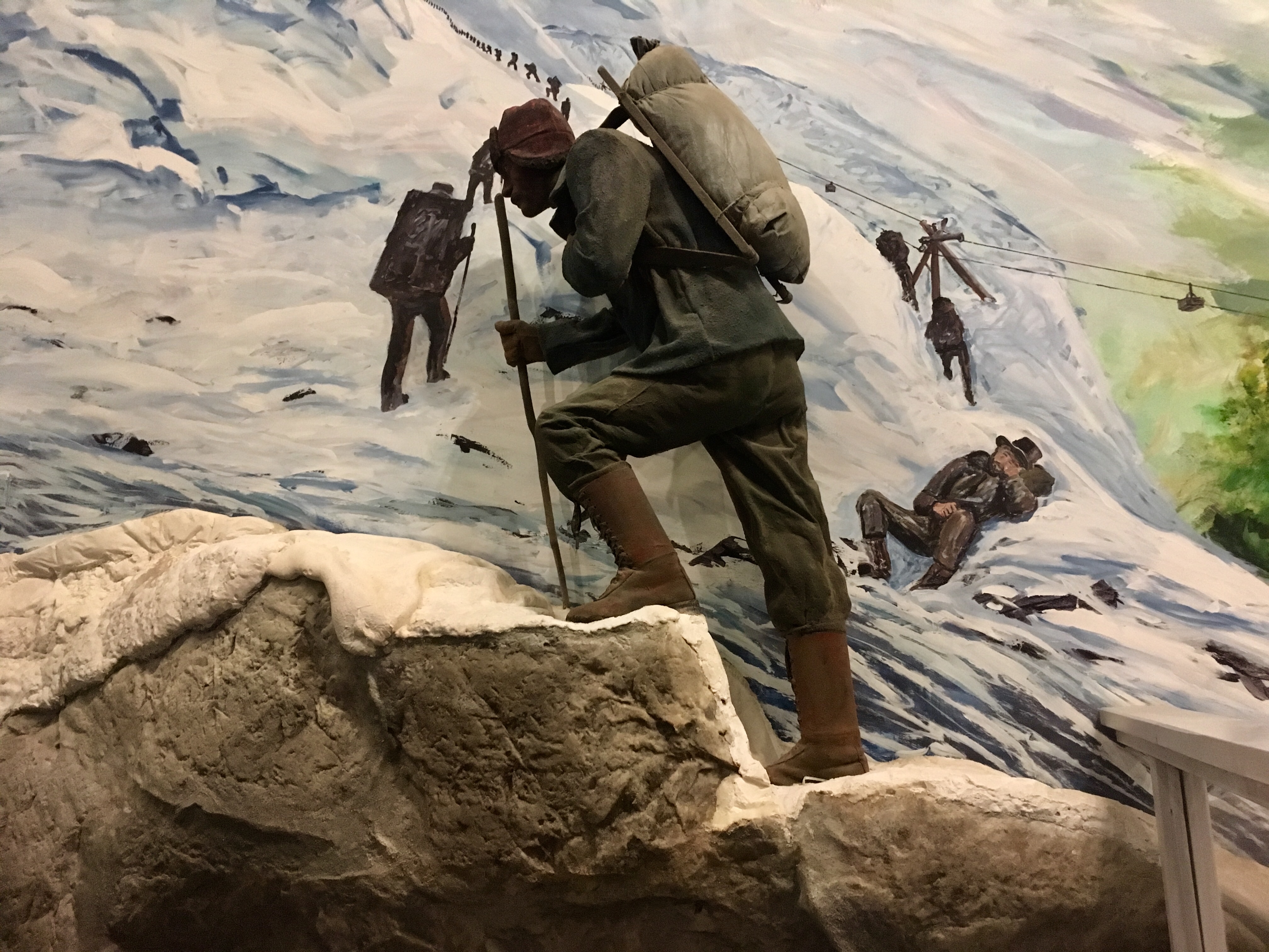
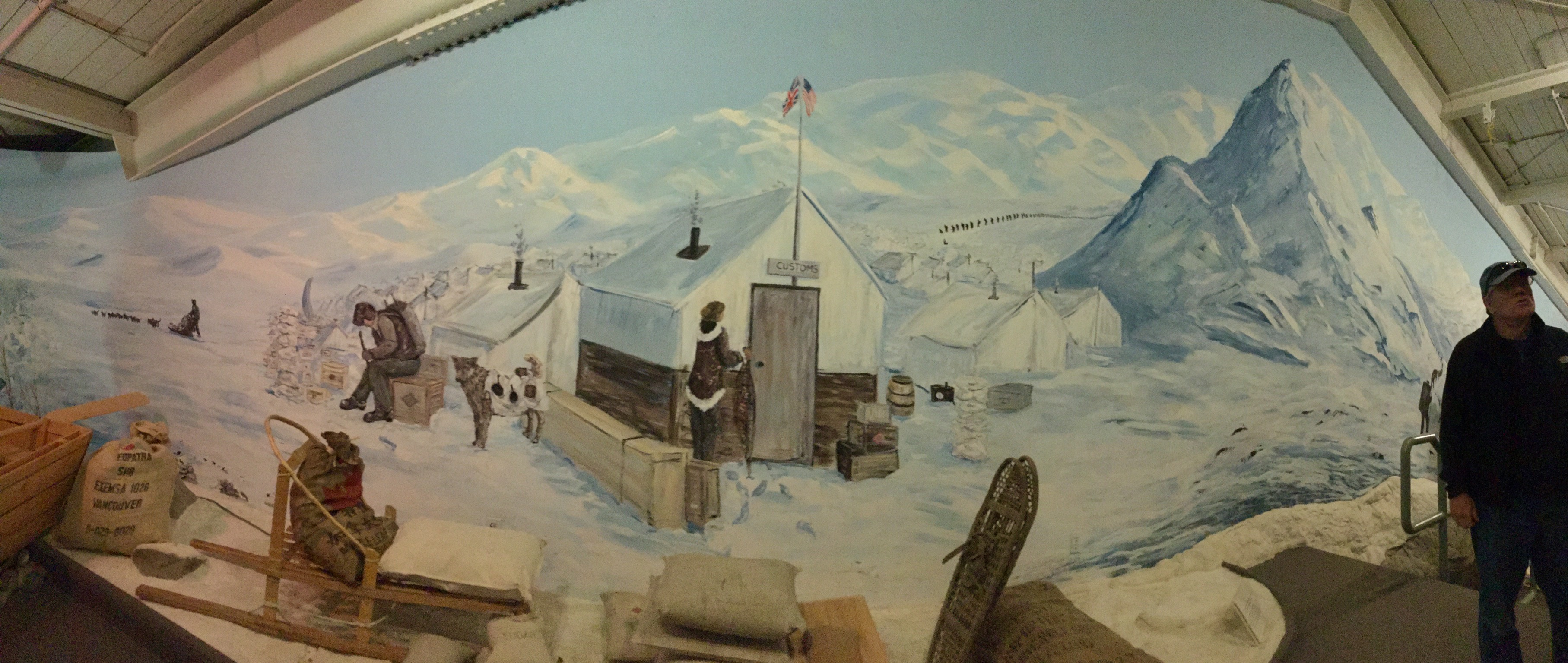
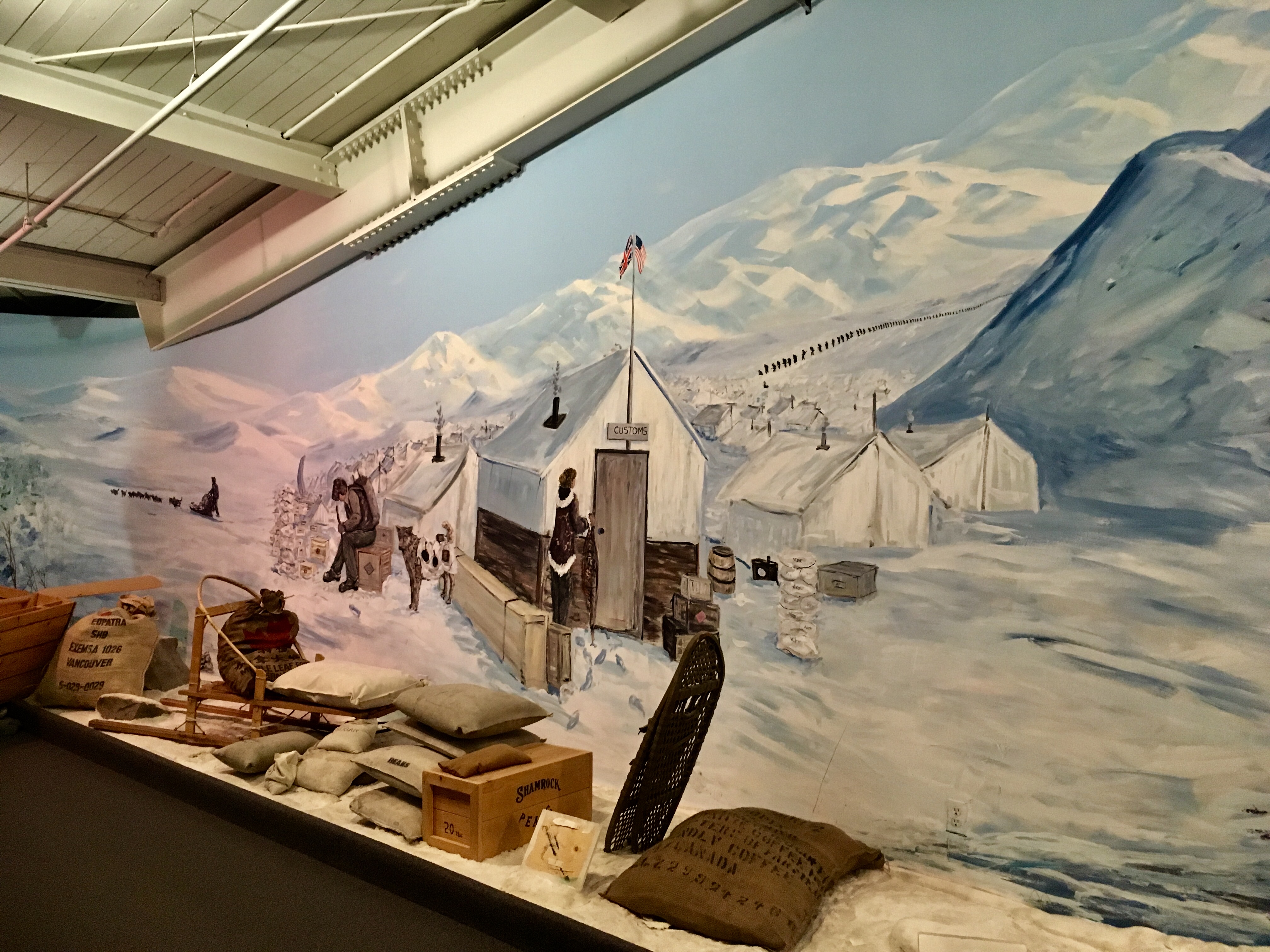
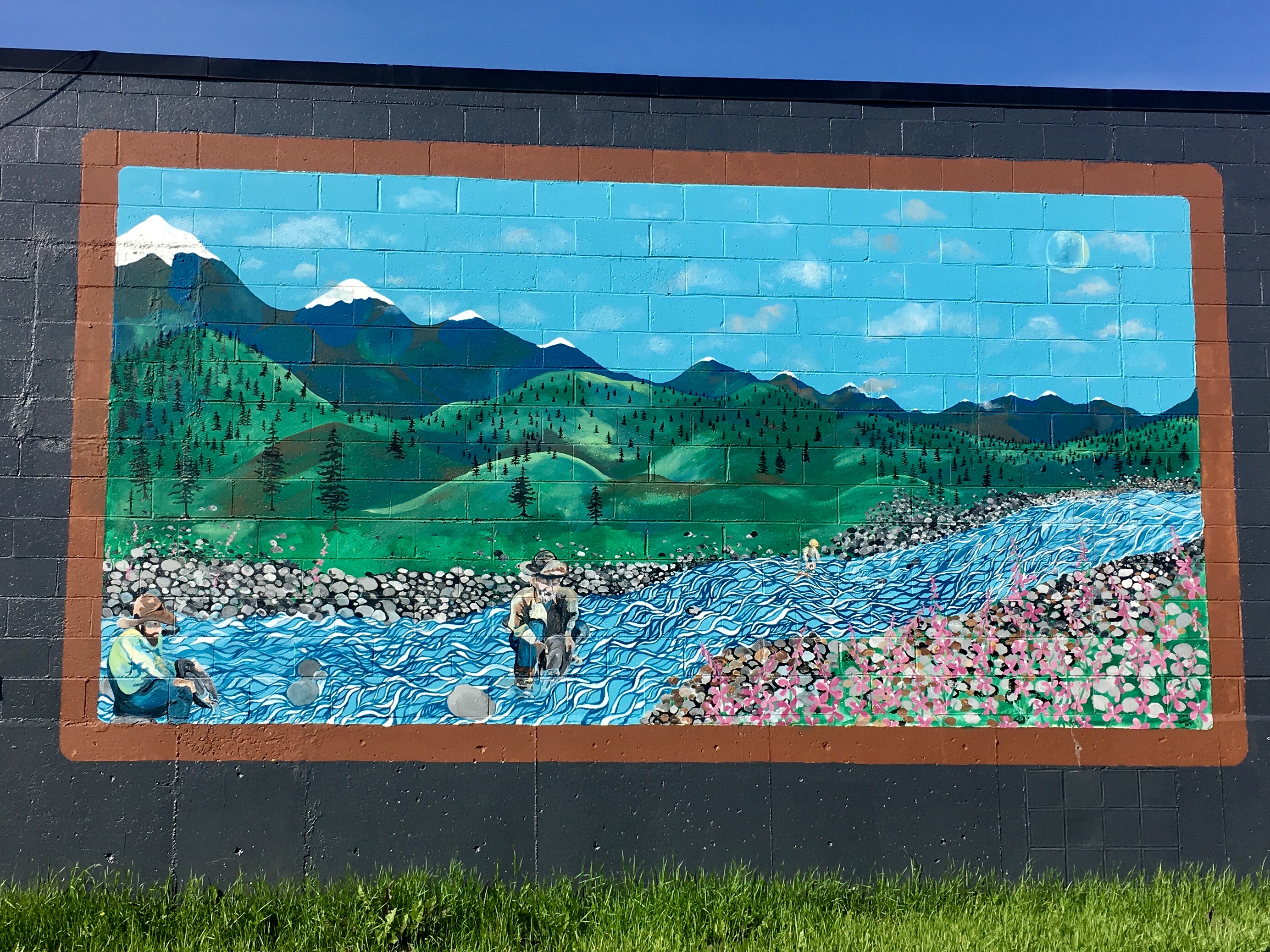
Names of places are usually pretty descriptive. And most come from the old gold rush days. In fact, the gold rush seems to have influenced just about everything in the Yukon.
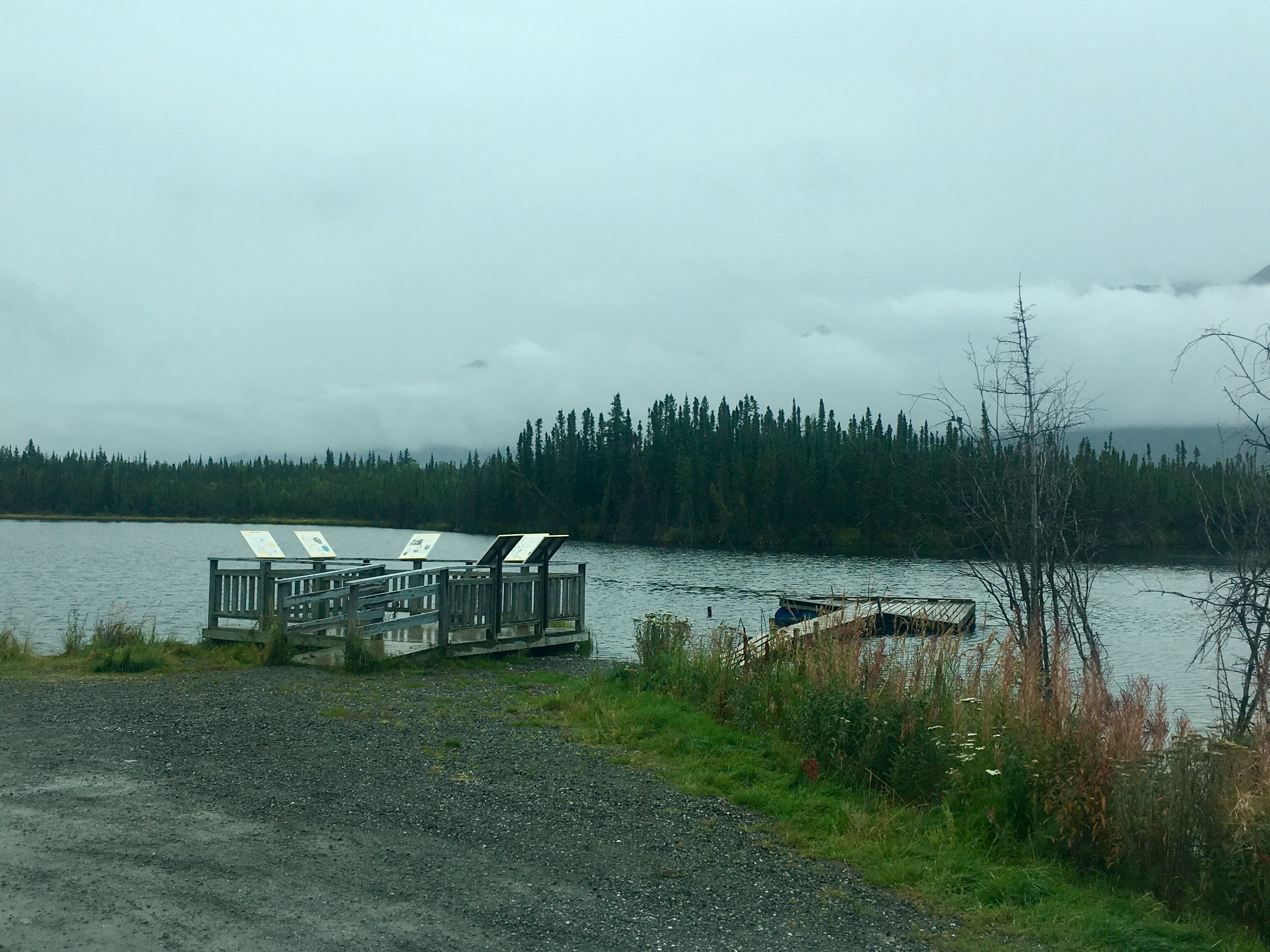
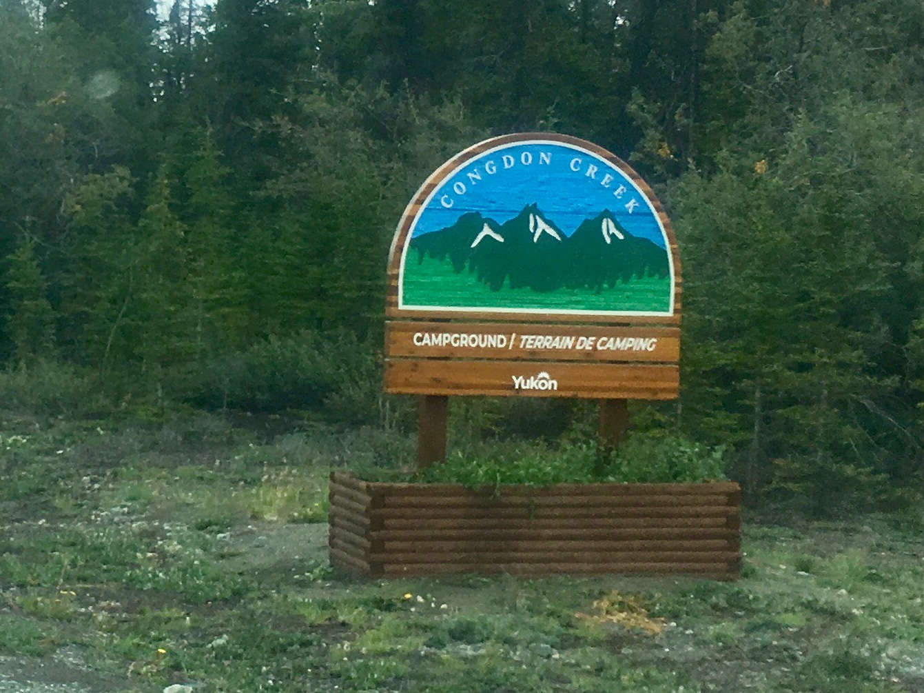
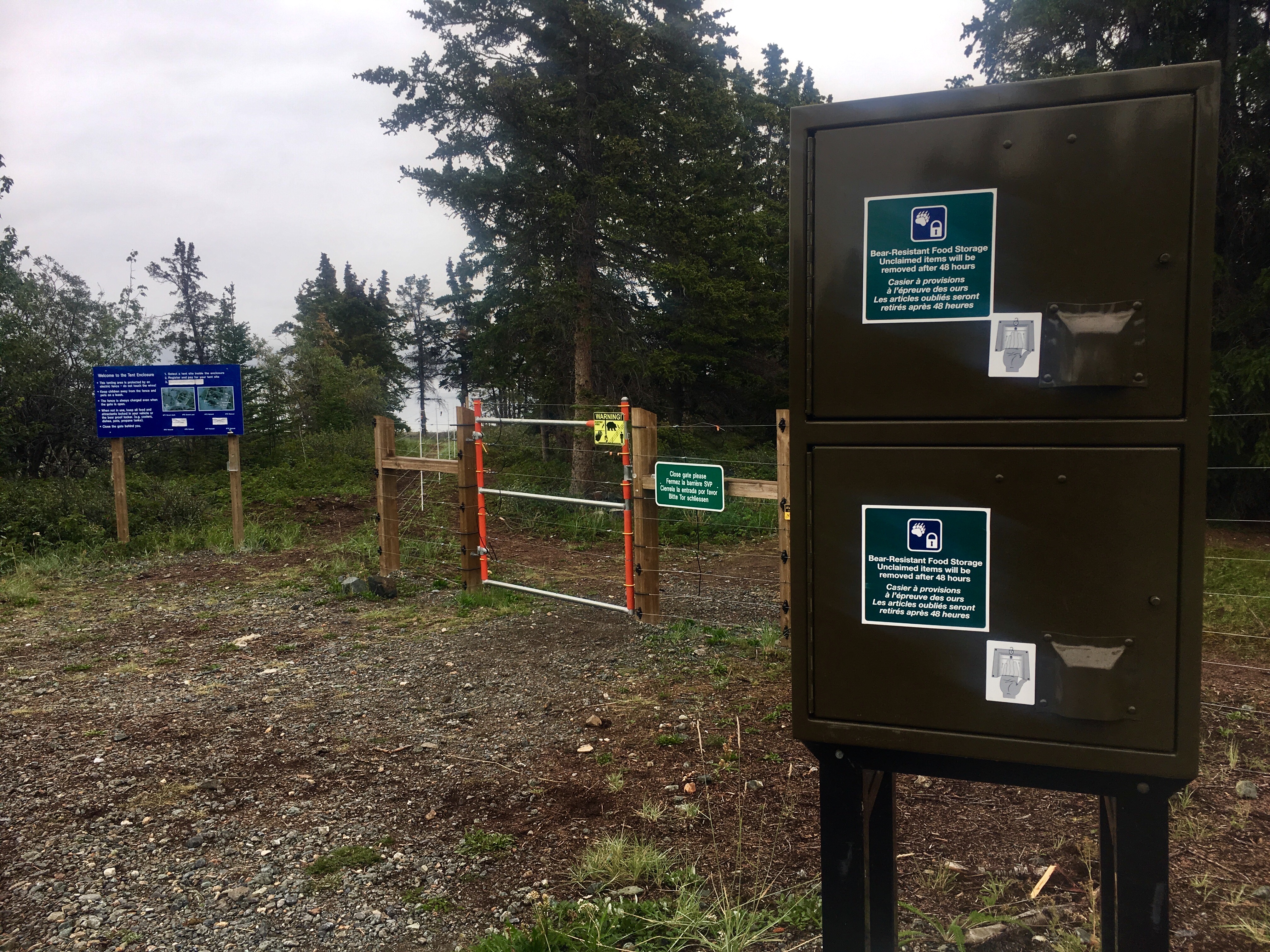
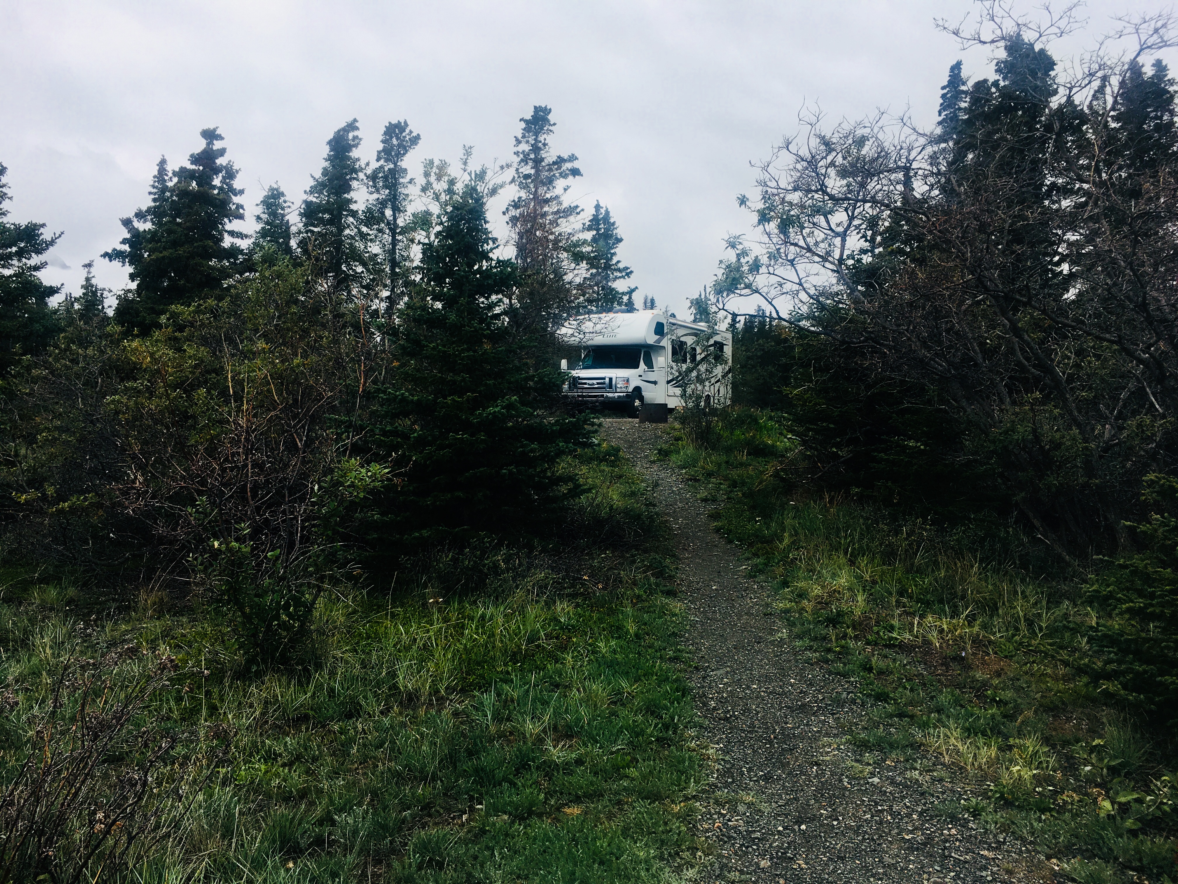
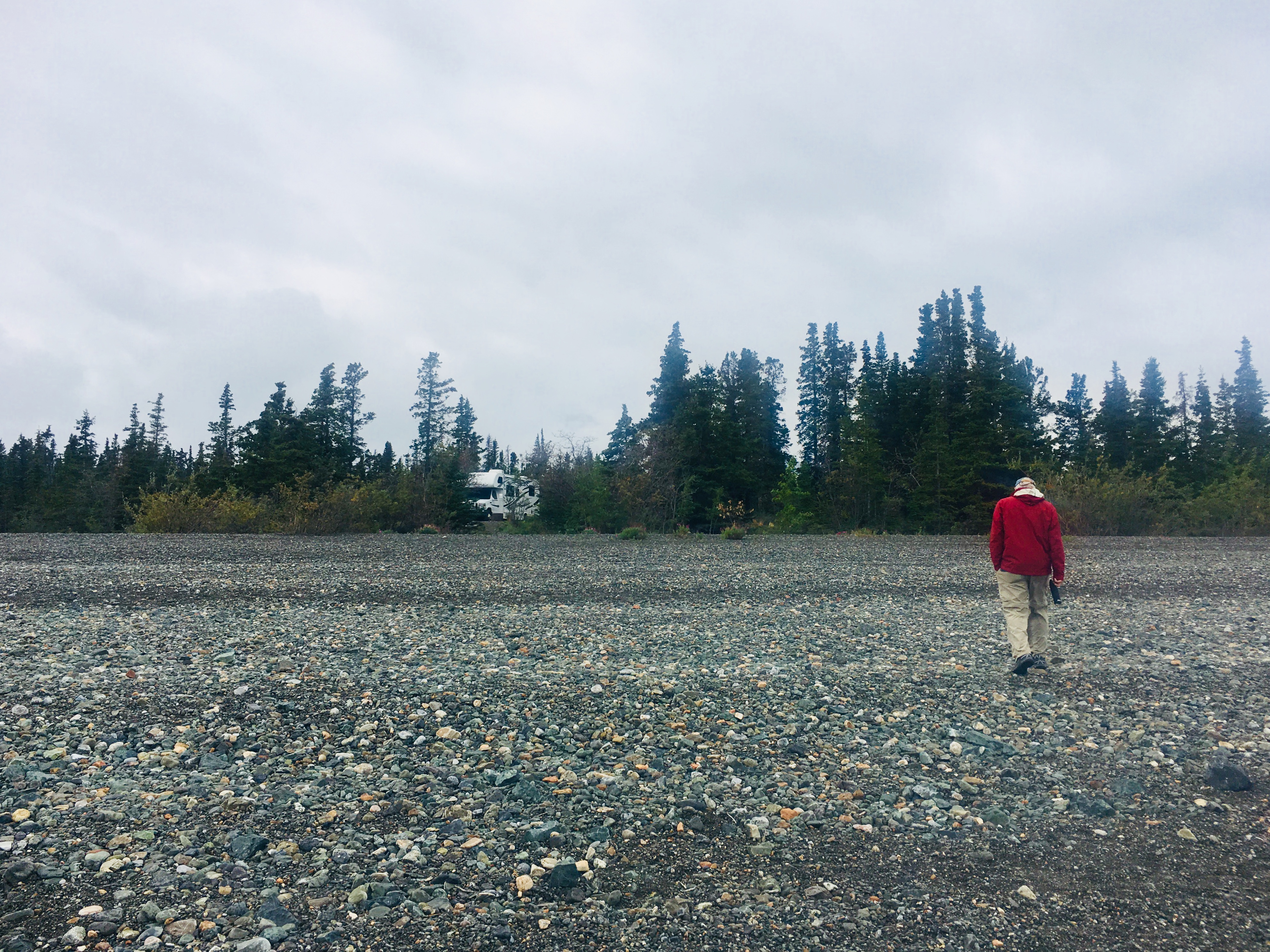
Congdon Creek was a neat campground, but had a feature that we had never seen before. Apparently there is a lot of bear activity (that’s a bad thing by the way) in the campground – all the time. So the tent camping area is surrounded by an electric fence.
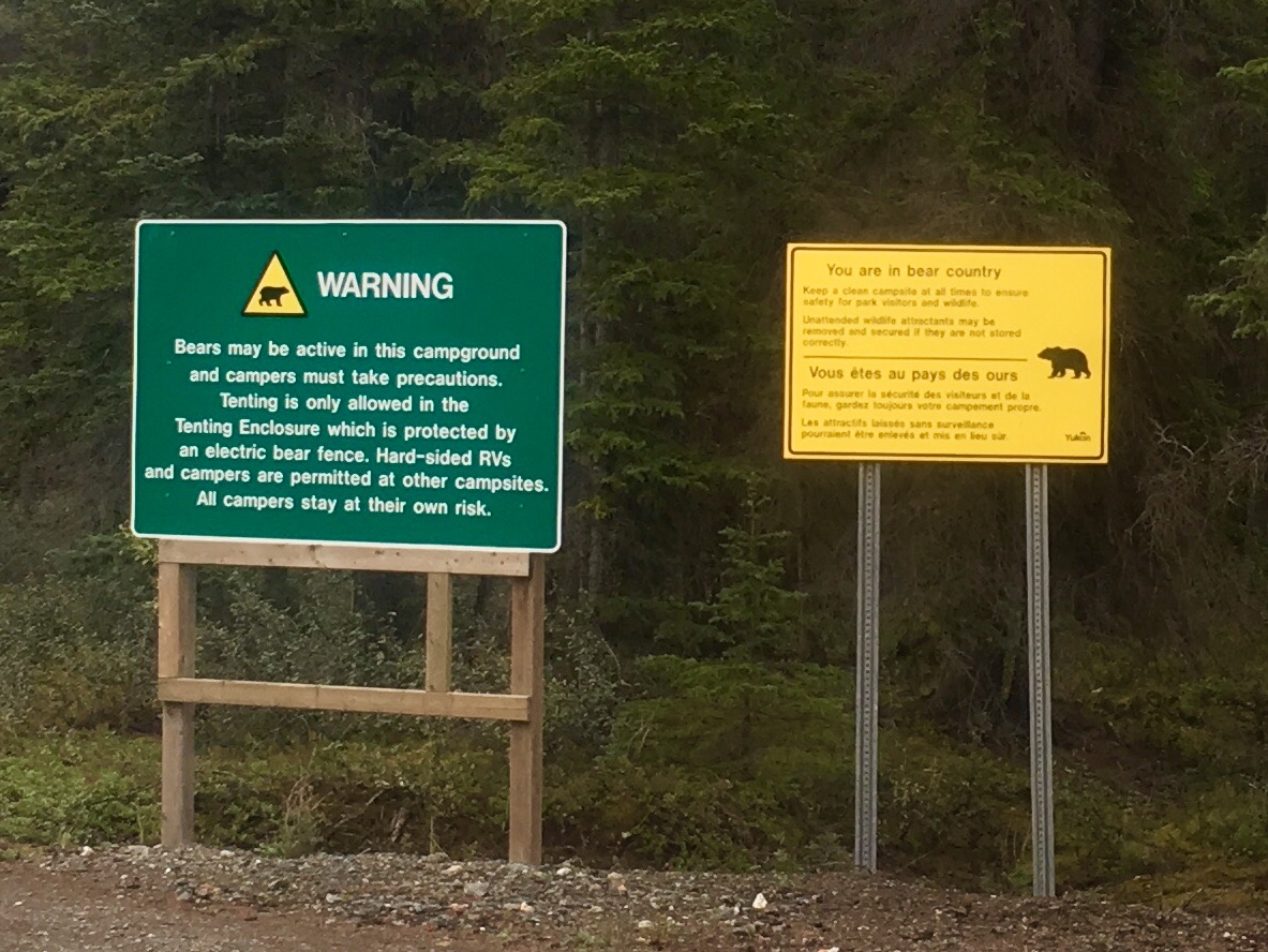
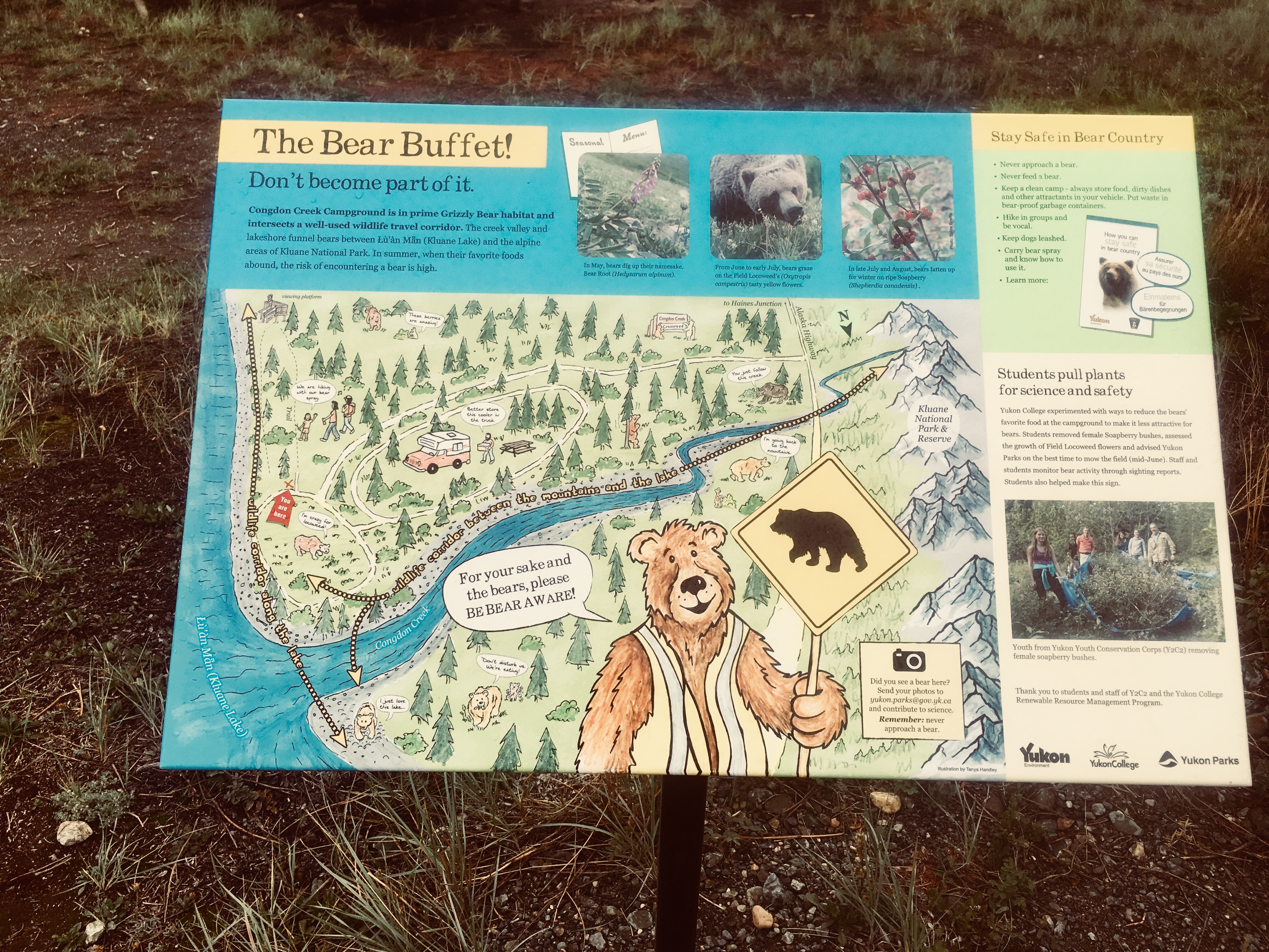
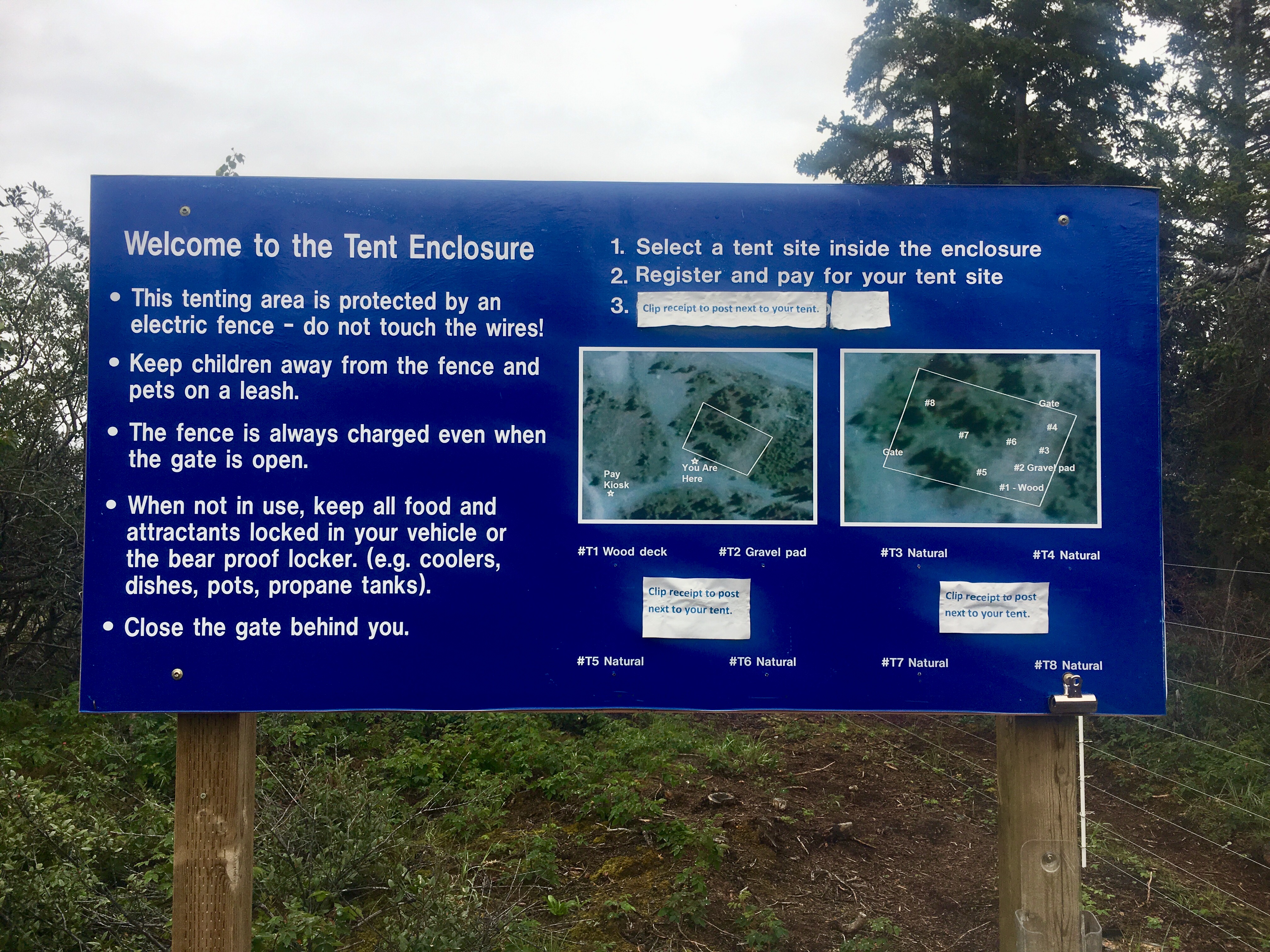
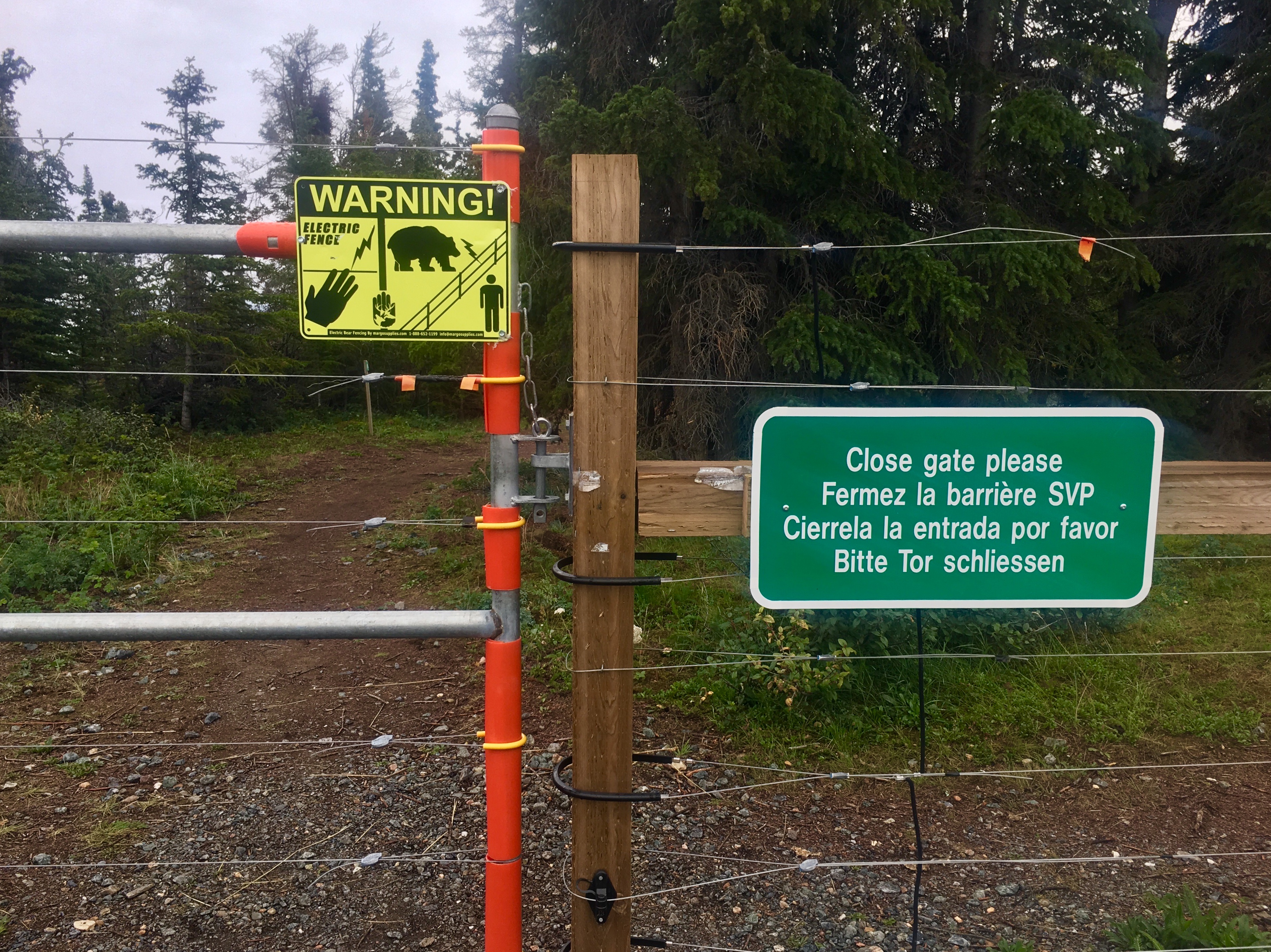
Here’s the electric fence. The tent pads are on the inside. The picnic tables and food storage lockers (bear-proof, of course) are on the outside. The goal is to keep the tent areas safe and free from any bear attractants, except humans… Not sure how we feel about camping inside an electric fence…
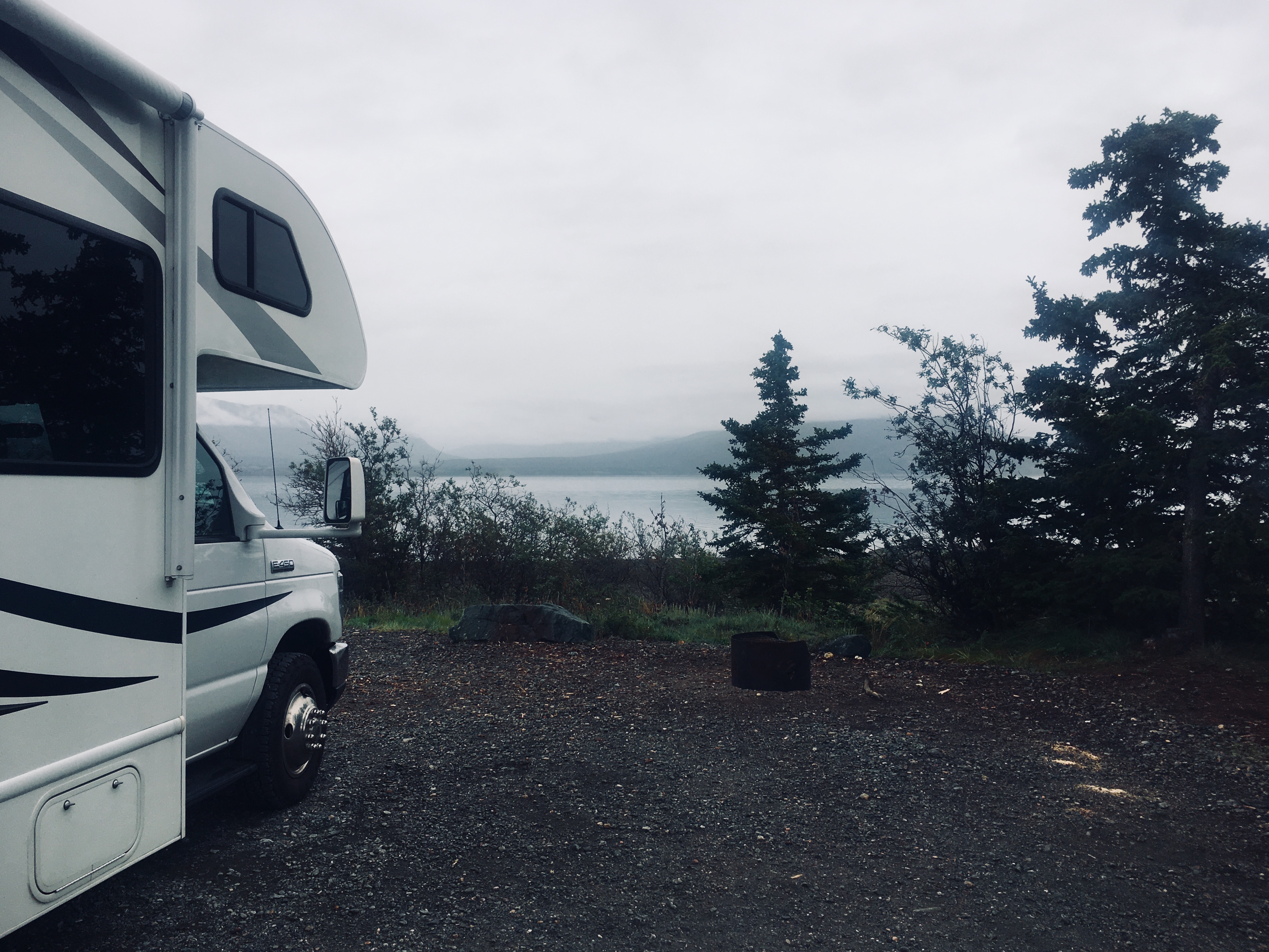
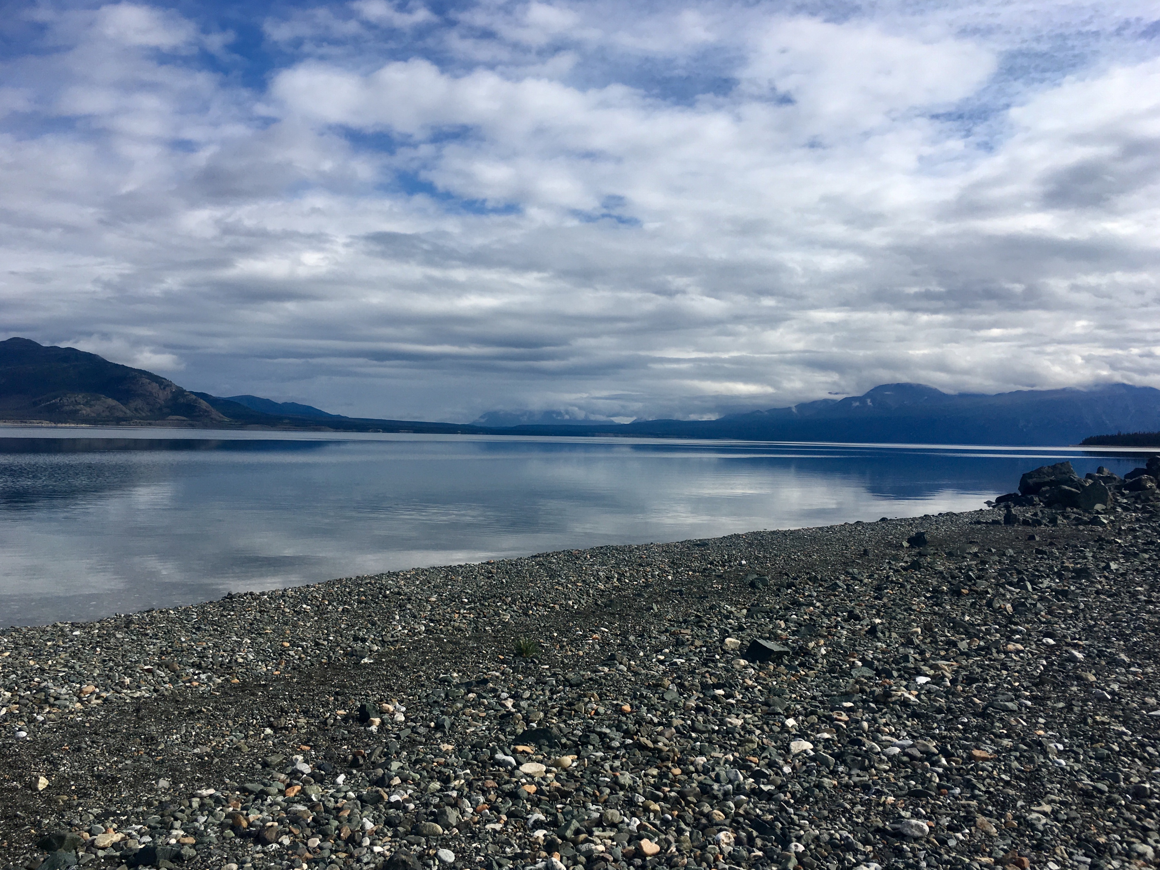
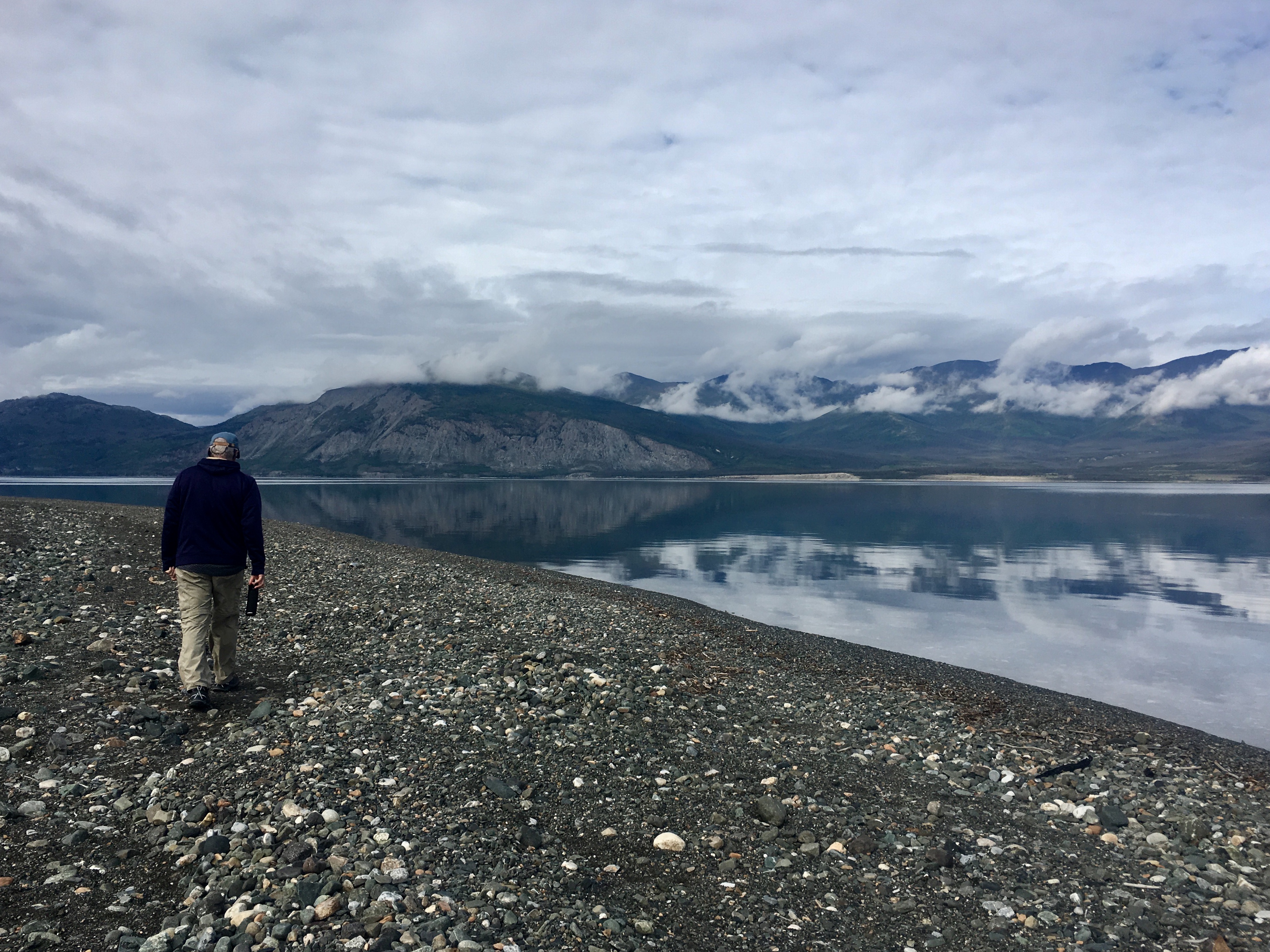
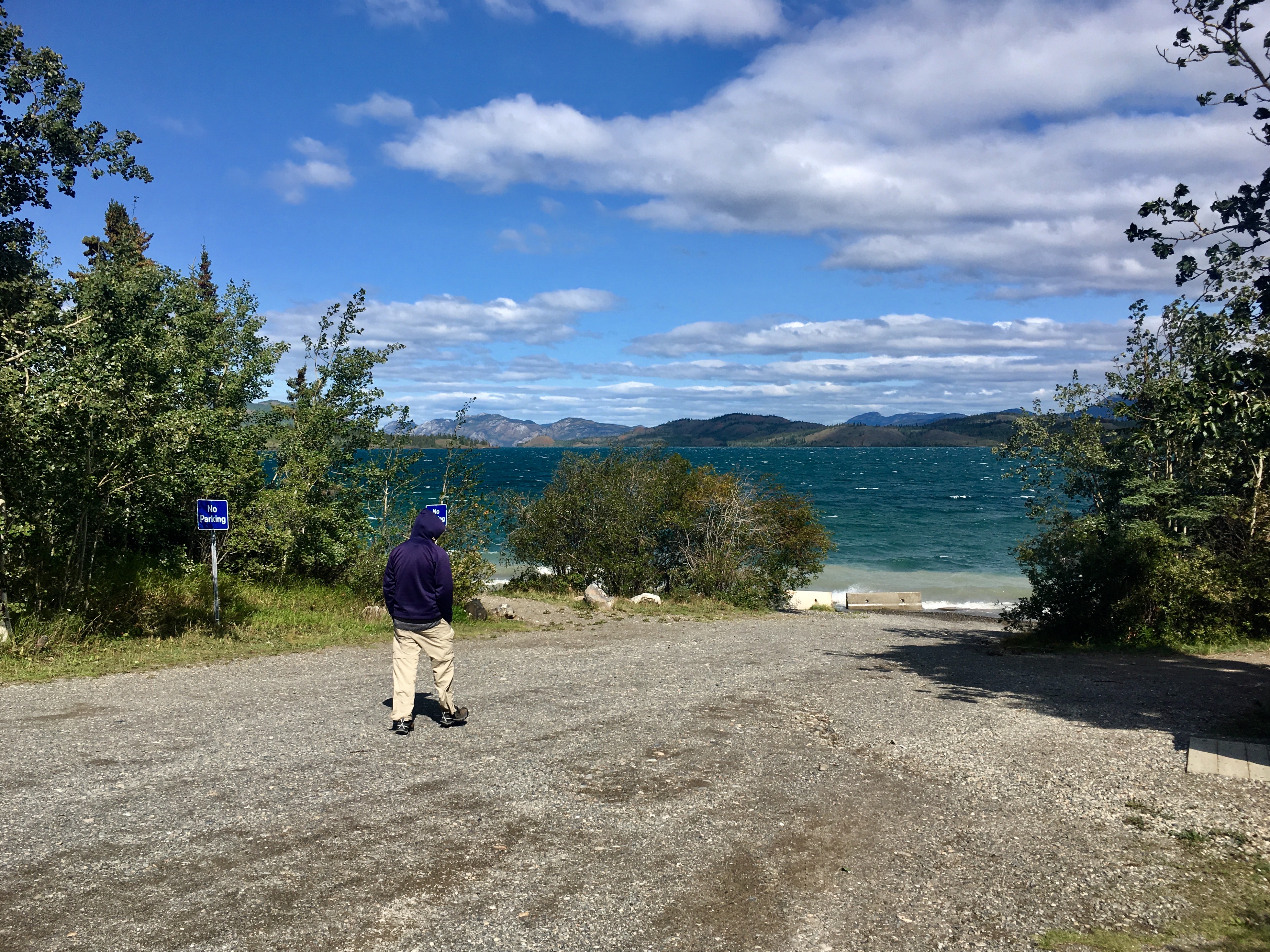
When we arrived at the campground, it was cloudy and rainy. A walk on the beach – all rocks – was still beautiful. But the weather change was pretty dramatic during our time there.
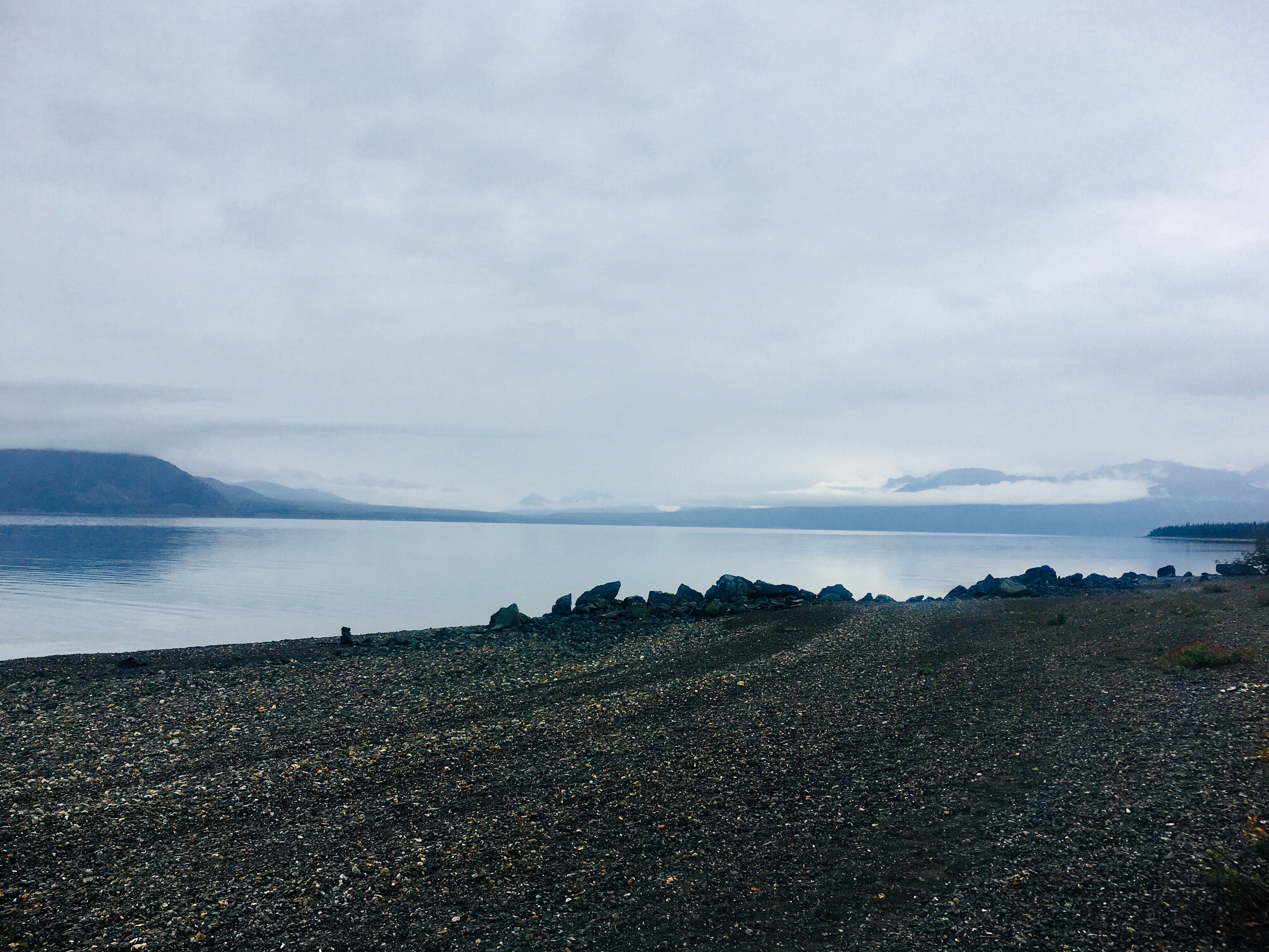
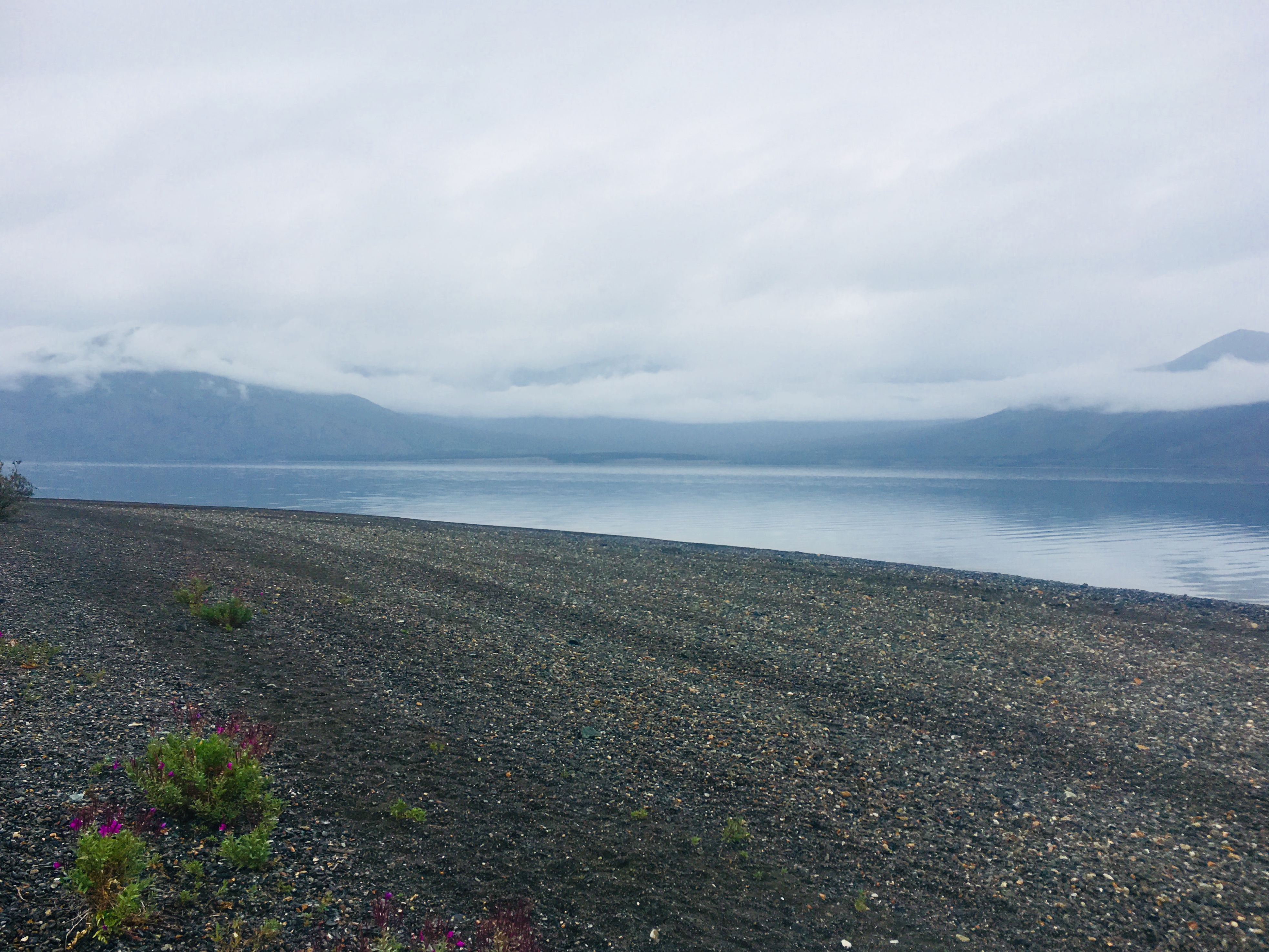
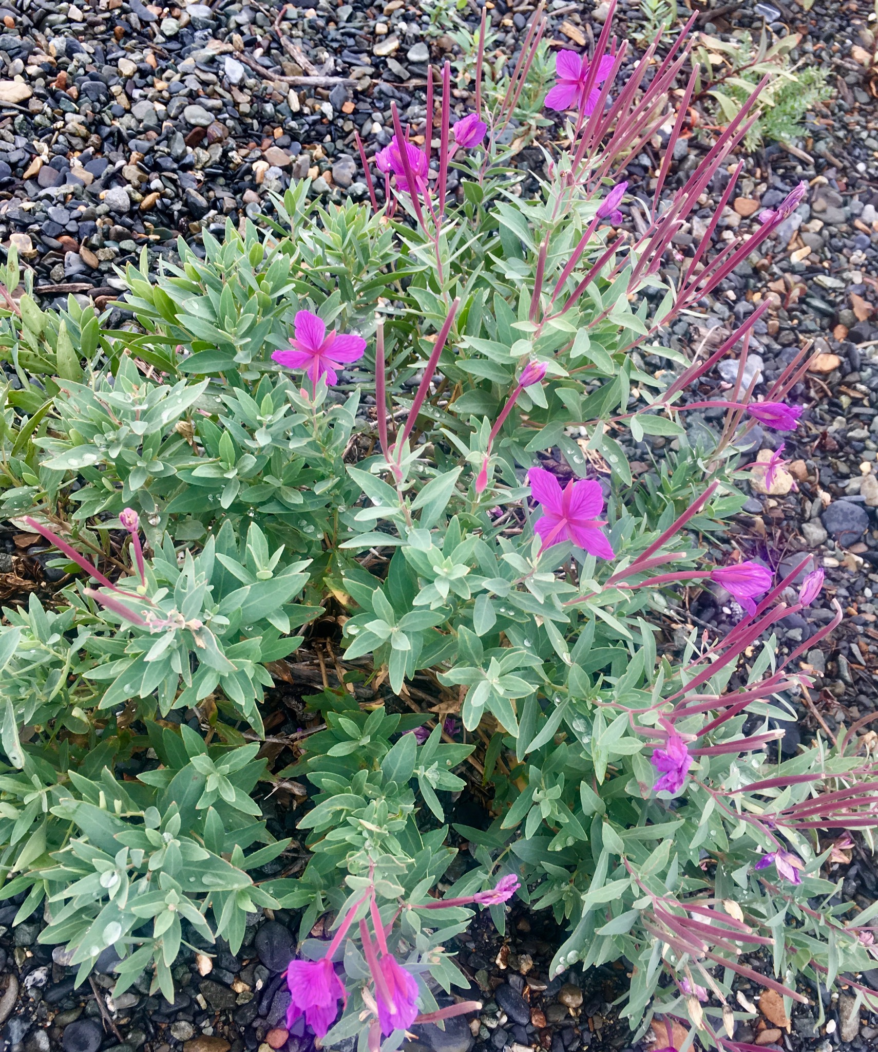
More wildflowers along the beach. Stuff grows prolifically.
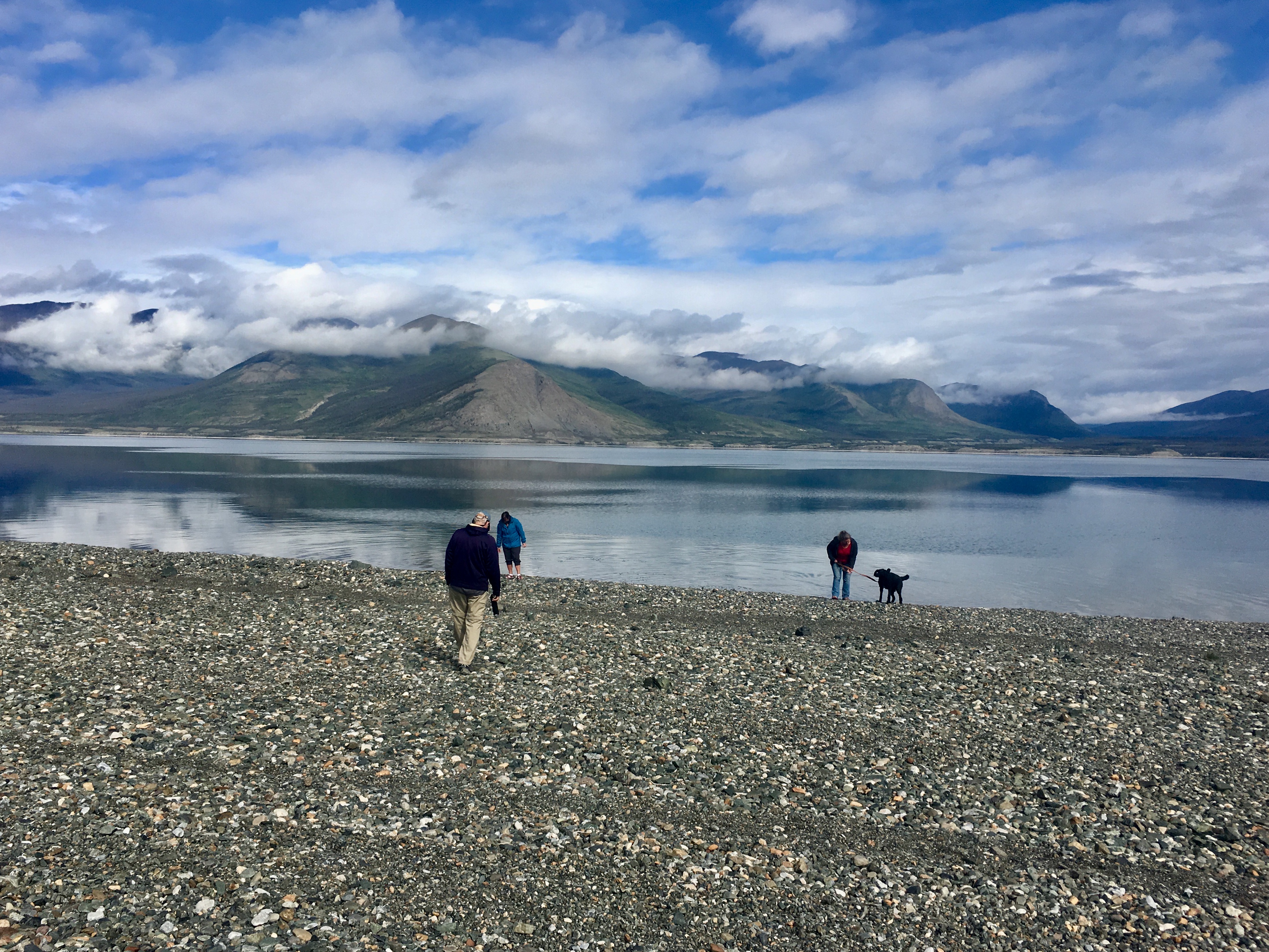
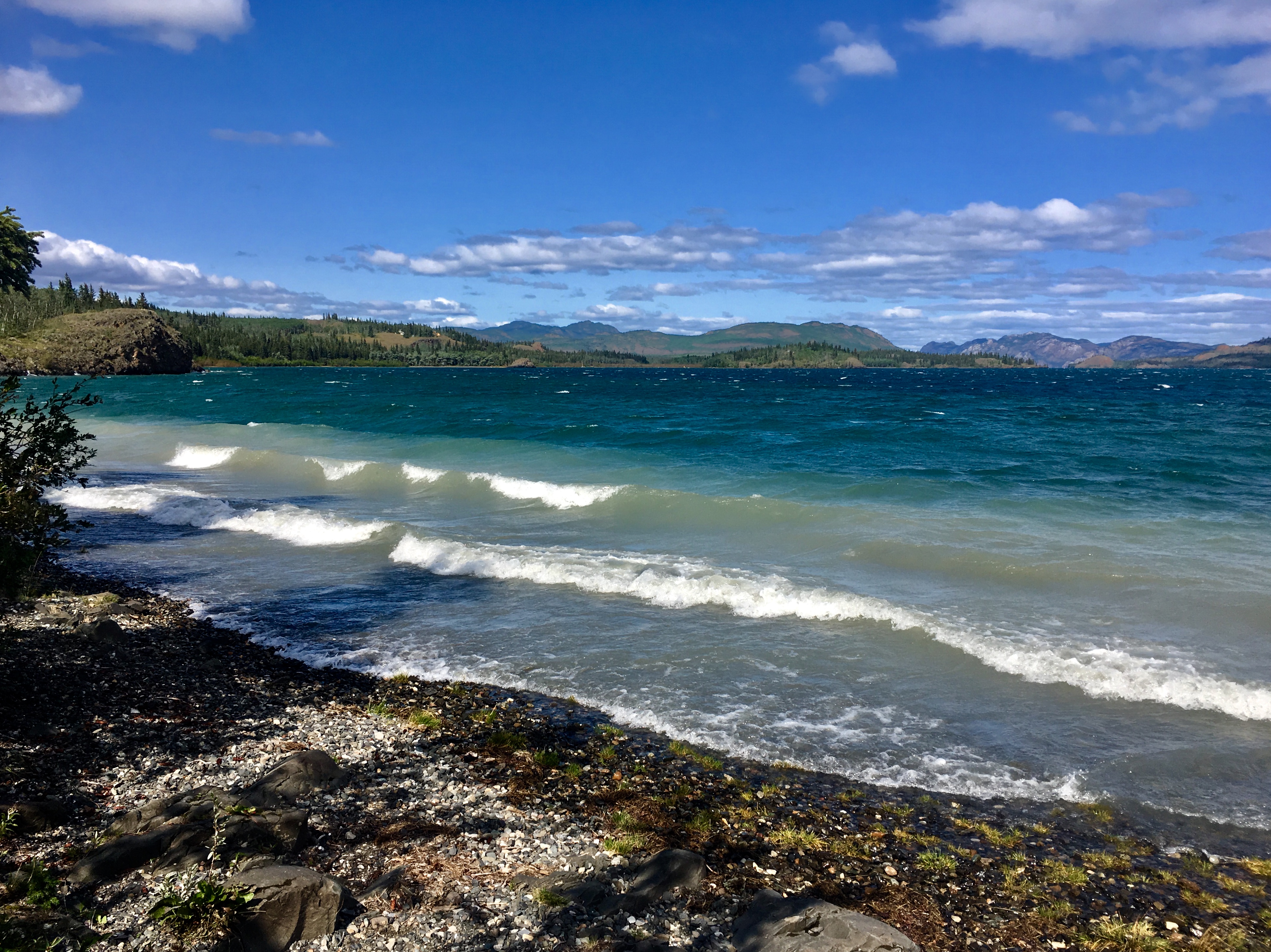
Later the same day the clouds started clearing and it became beautiful and sunny.
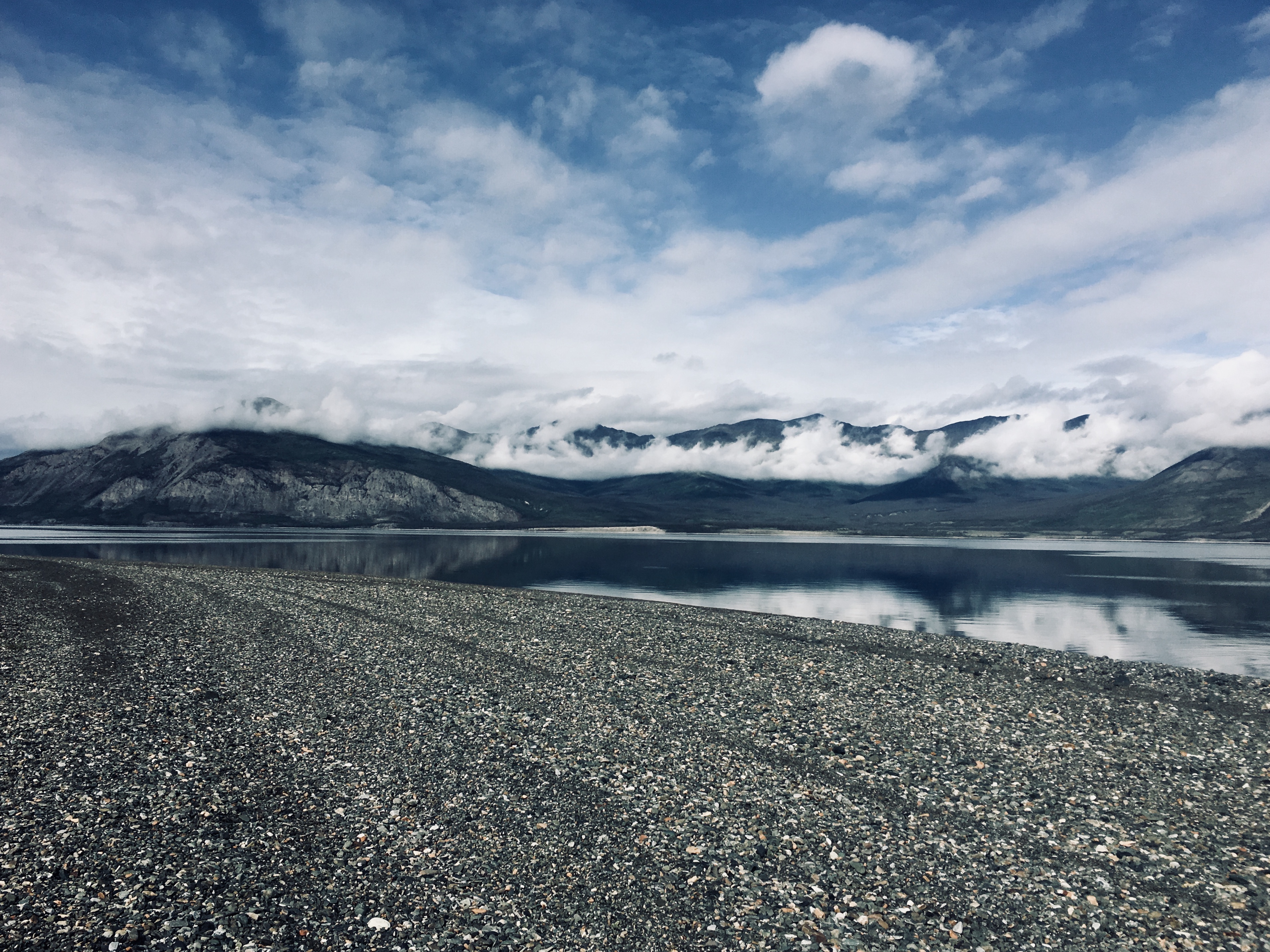
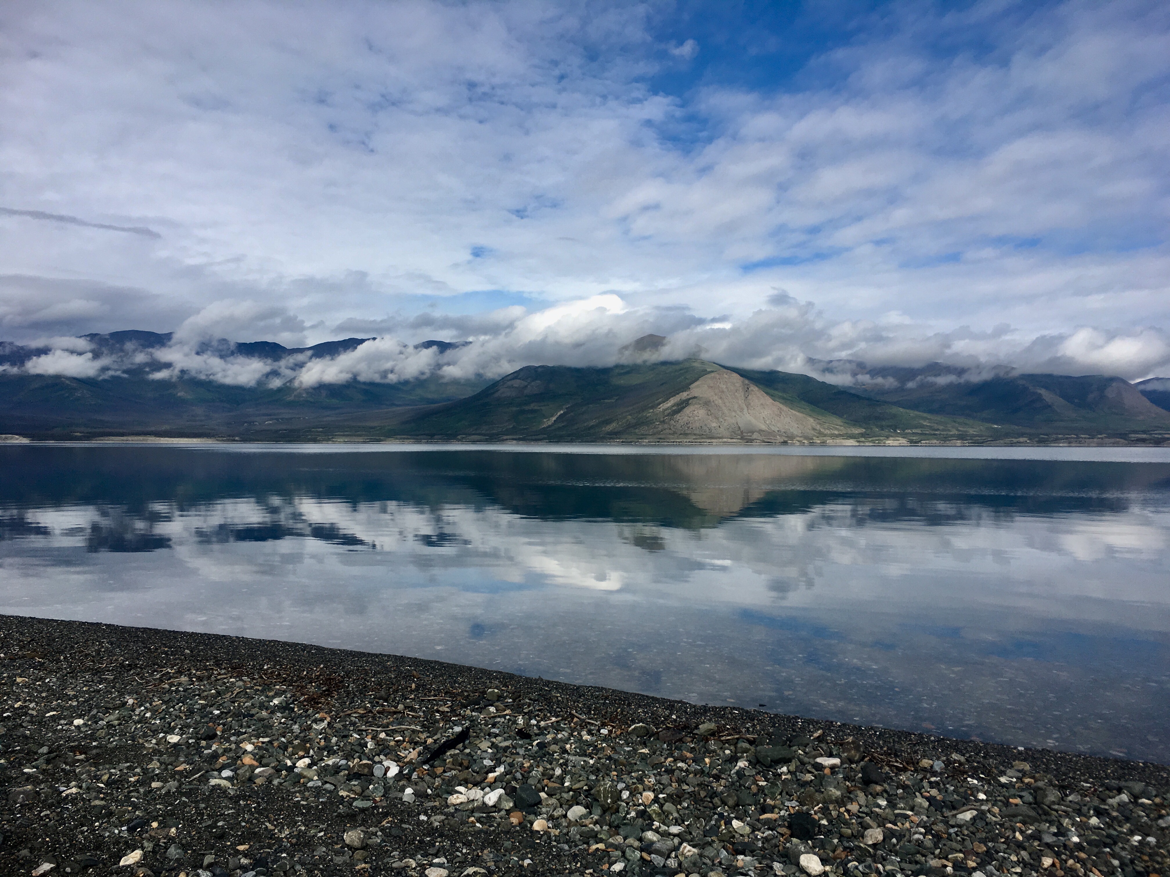
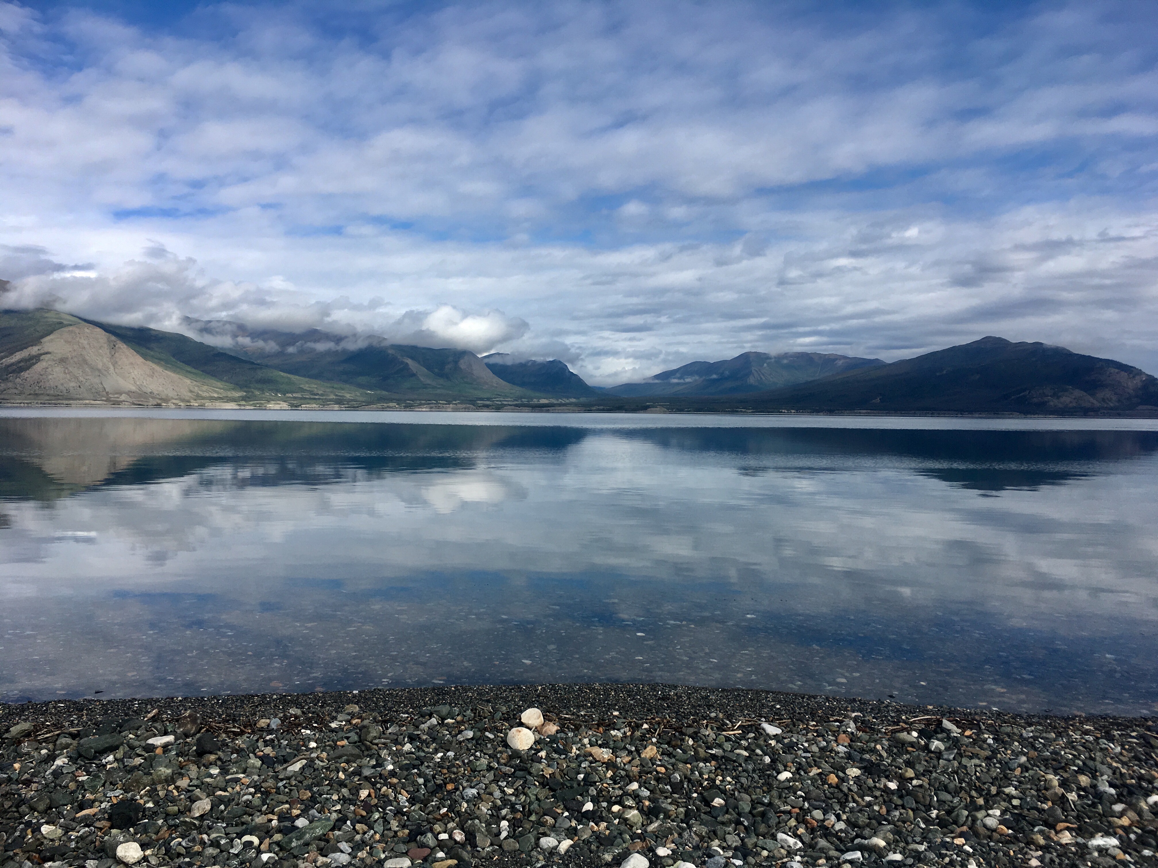
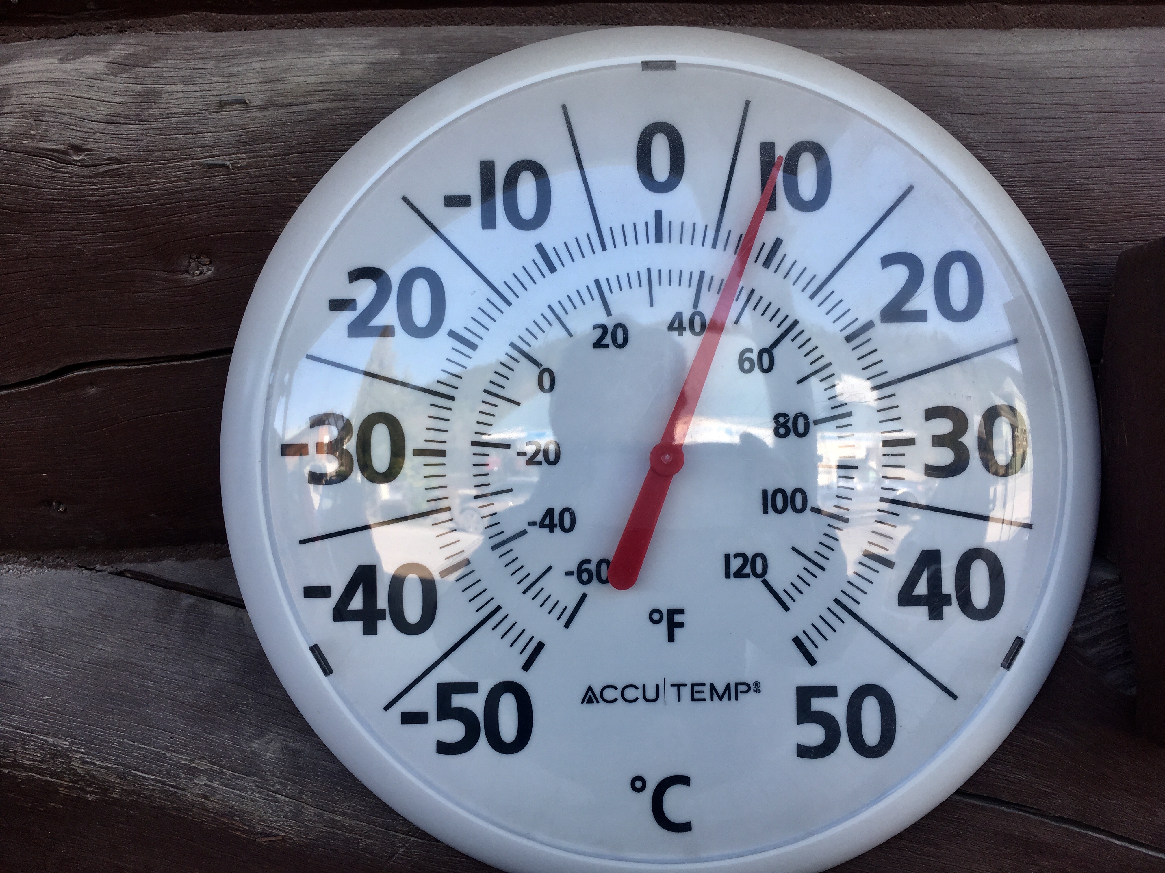
Next morning it was 32 degrees – August 17. Still in the 90’s back home.

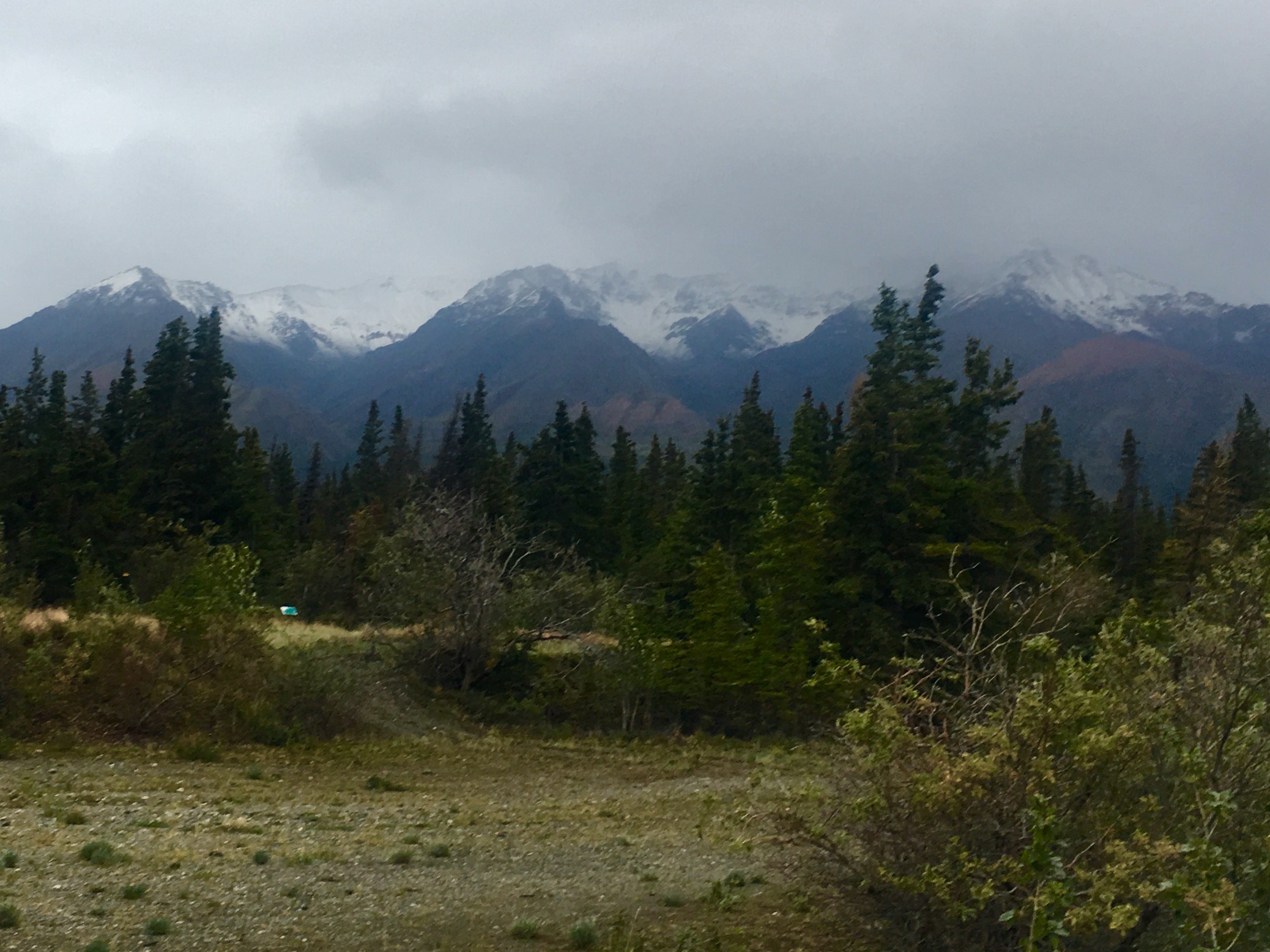
The next morning there was snow on the top of mountain. Ominous! We had been told that western Canada would be more of a challenge on the trip home than Alaska. At this point, we were starting to understand the why!
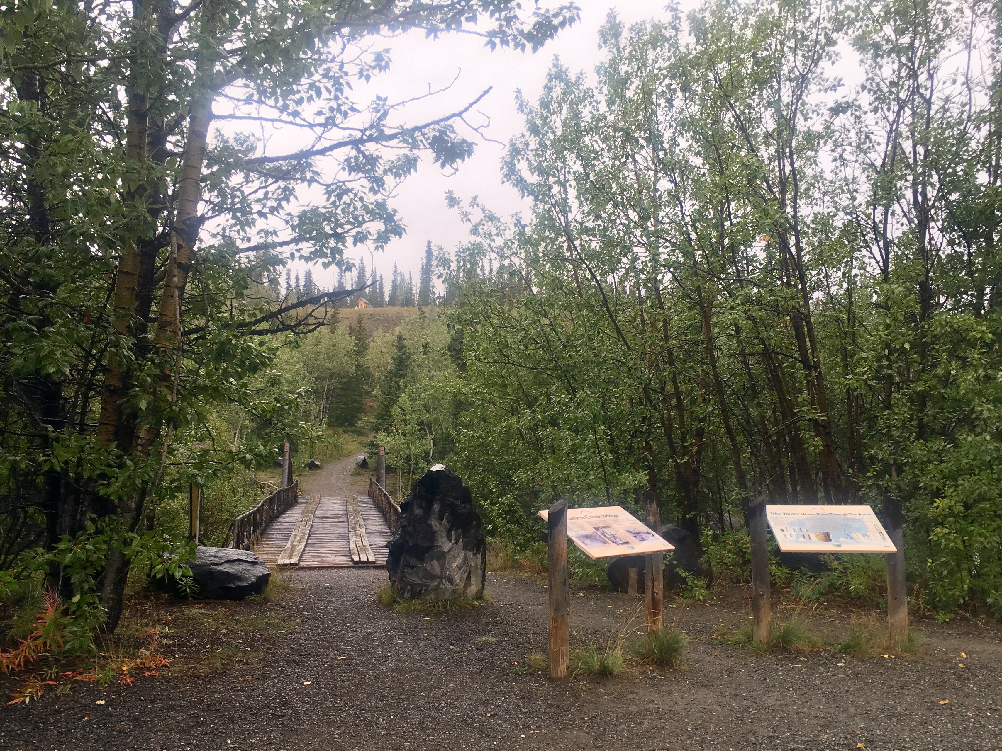
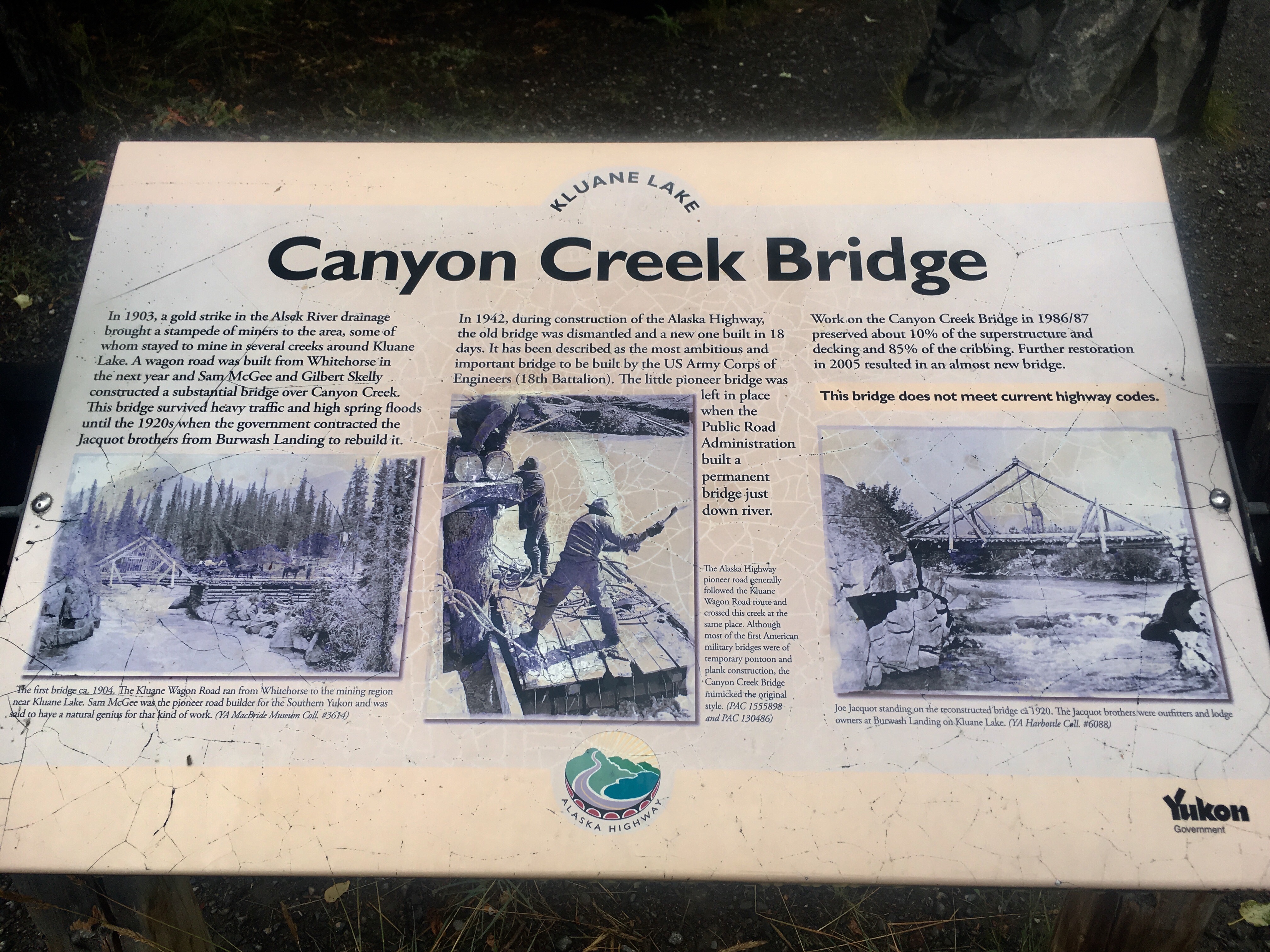
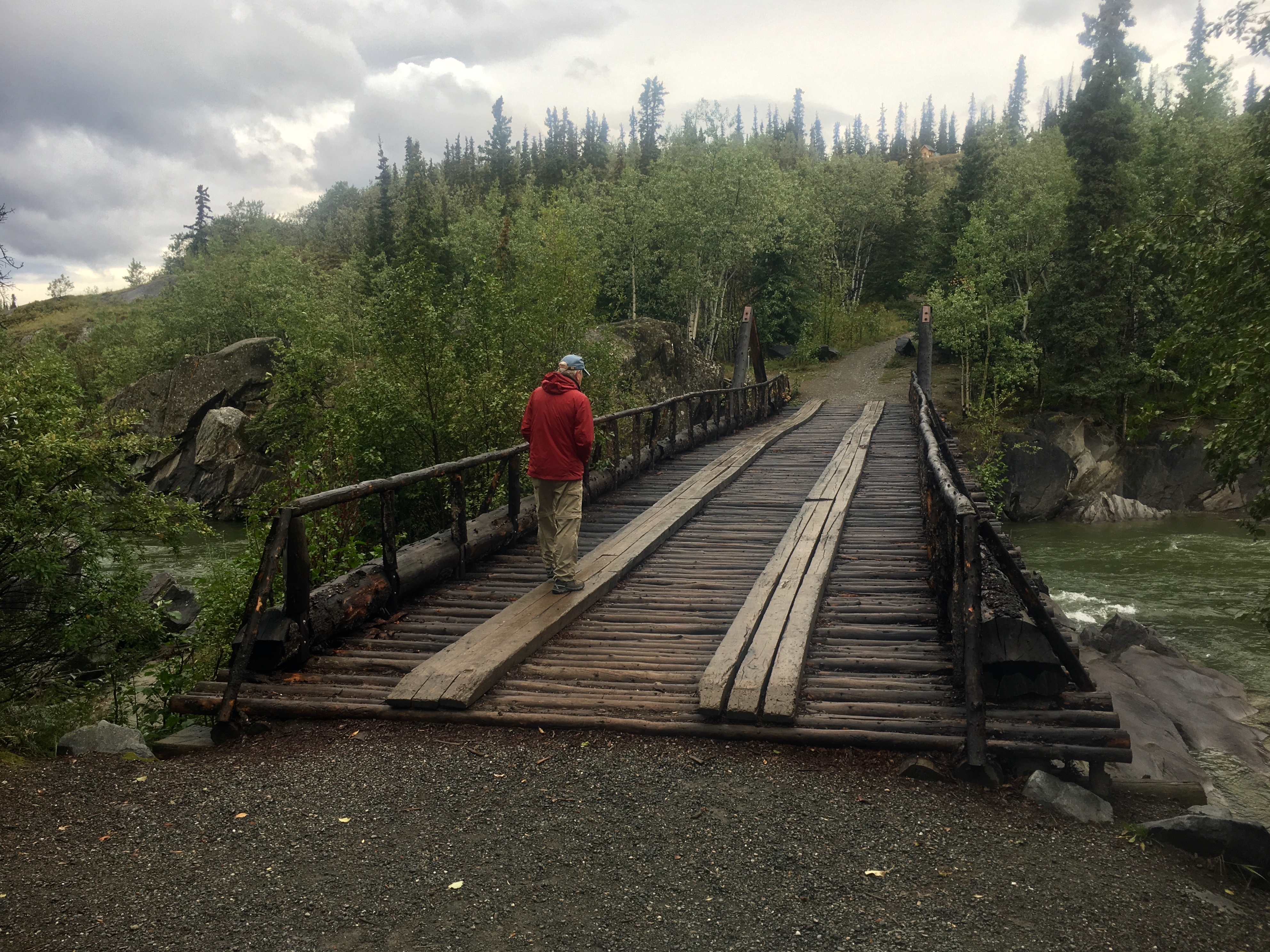
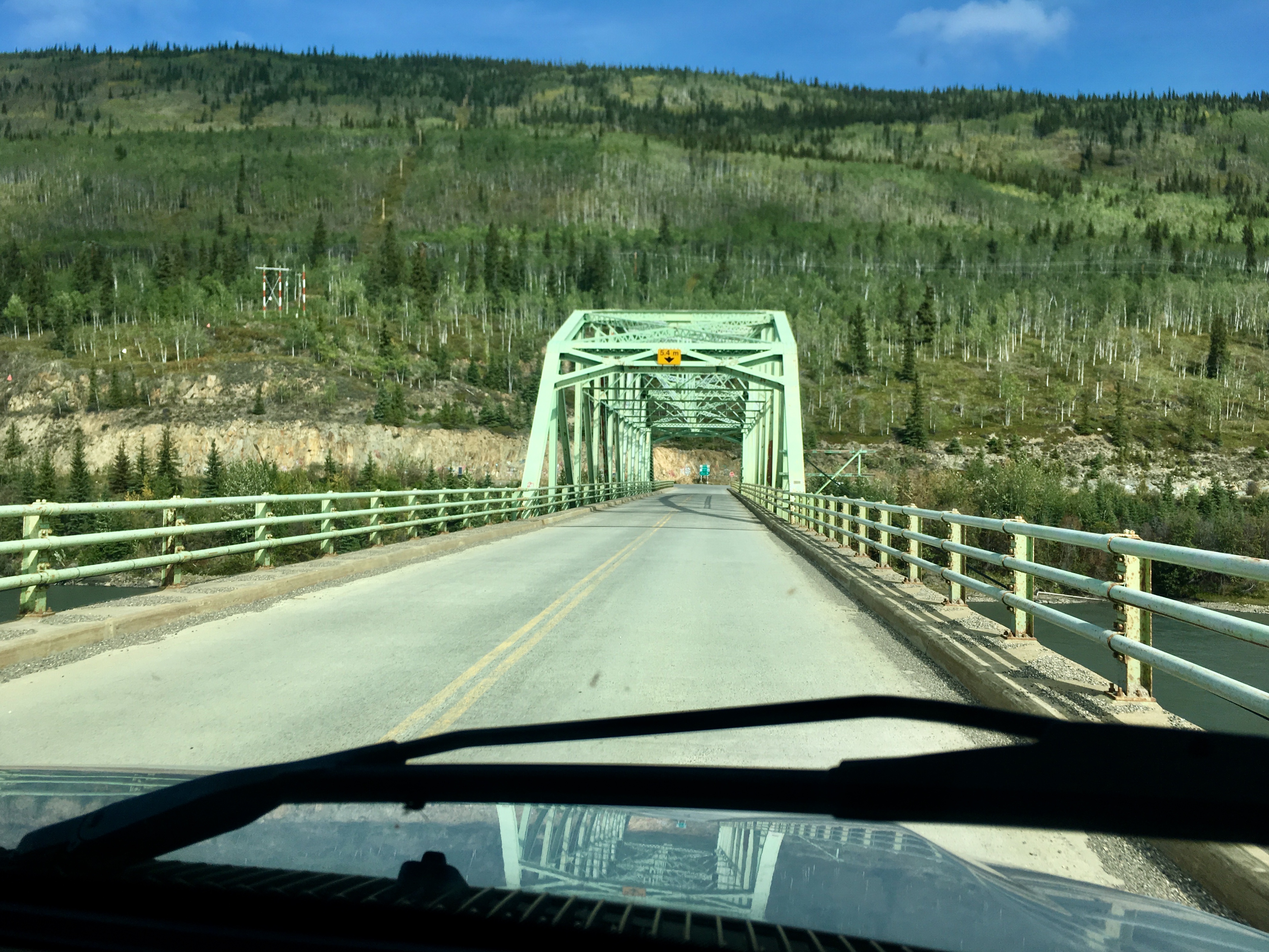
The Canyon Creek bridge was an engineering marvel. It was built in just 18 days back in 1942 and is still standing today. Some of the boards look a little worse for wear and the weight limit is probably down a bit, but it’s still there and people still drive across it! There has been restoration work through the years, but note the warning “This bridge does not meet current highway codes.”
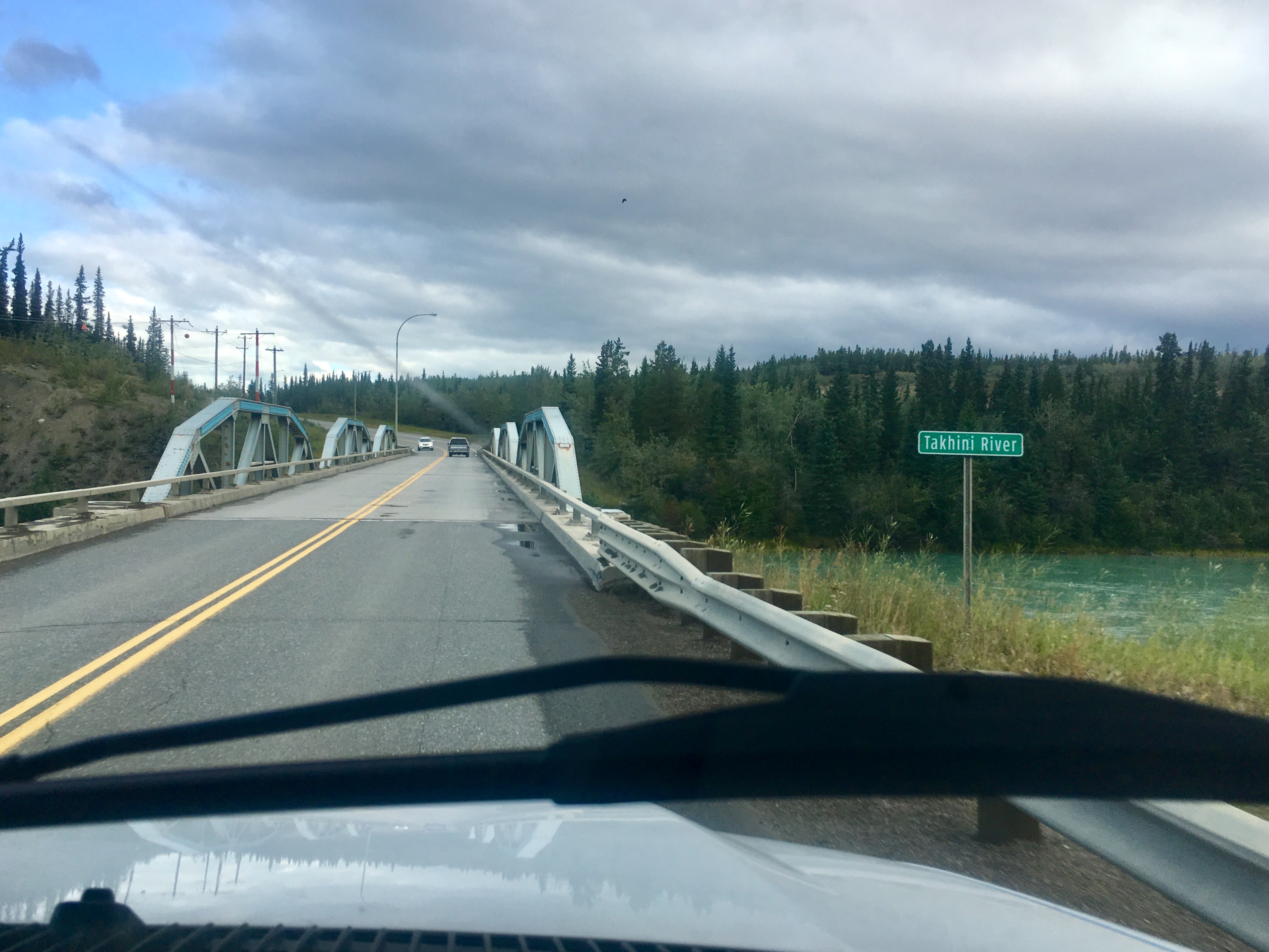
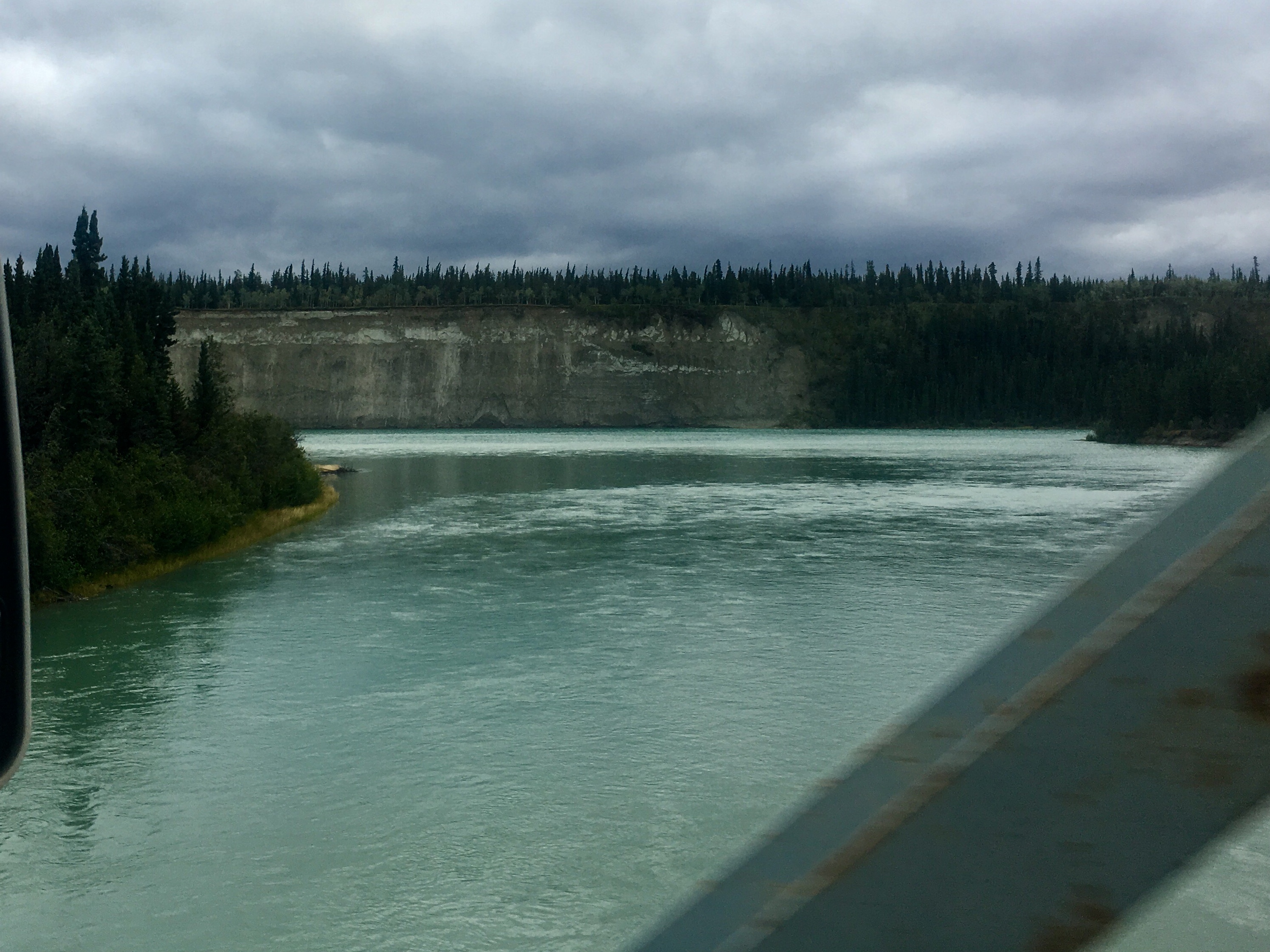
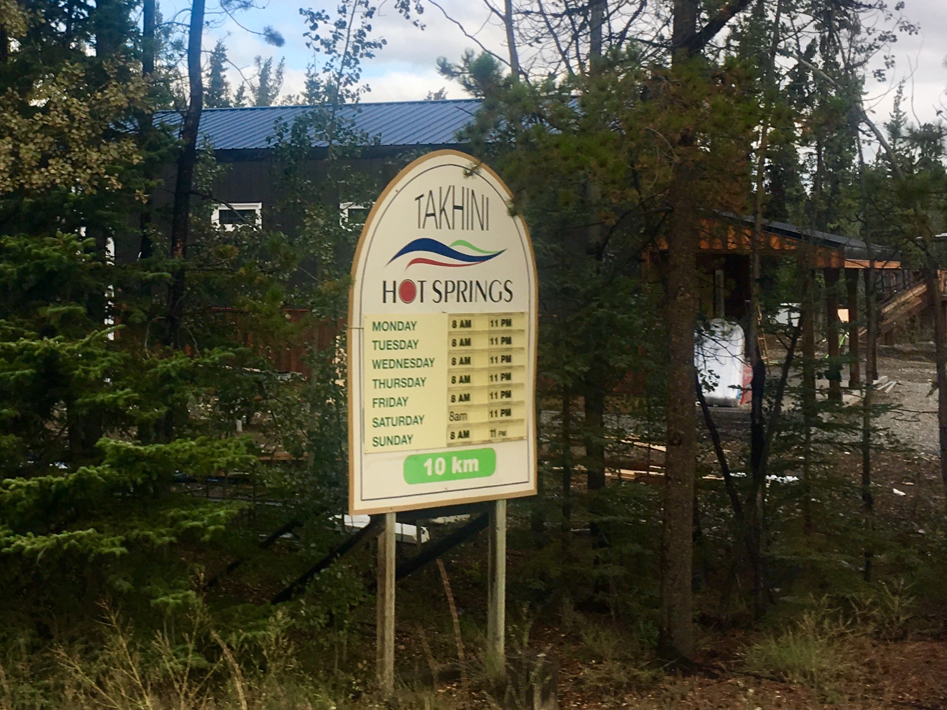
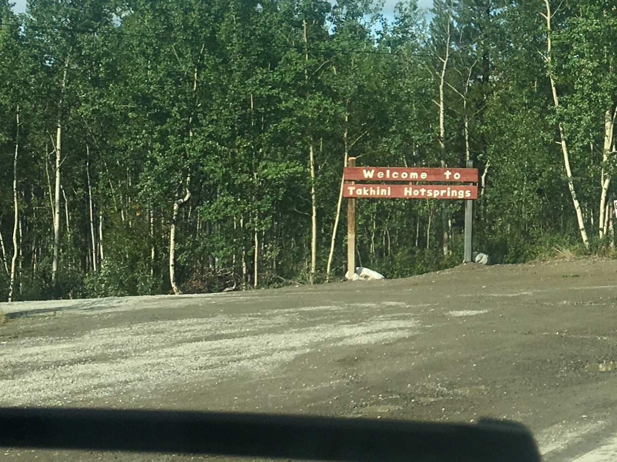
The Takhini river was also the site of the next hot spring we visited. It felt amazing, even though it wasn’t quite as scenic. The hot spring was fed into an old concrete swimming pool. So one end of the pool was very hot, the other pretty hot. And every night they drained the pool and let it refill. But the Takhini river itself gets high marks for beautiful scenery.

The picnic shelters have built in wood stoves. Not a normal feature in the lower 48!
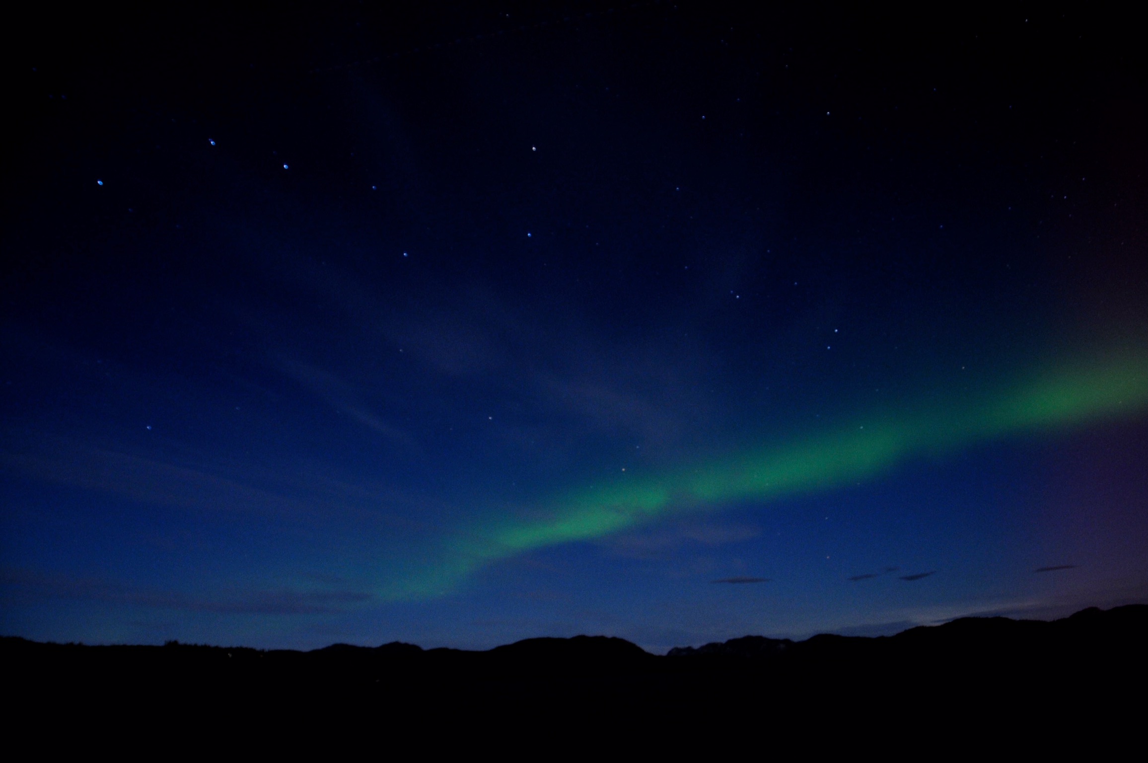
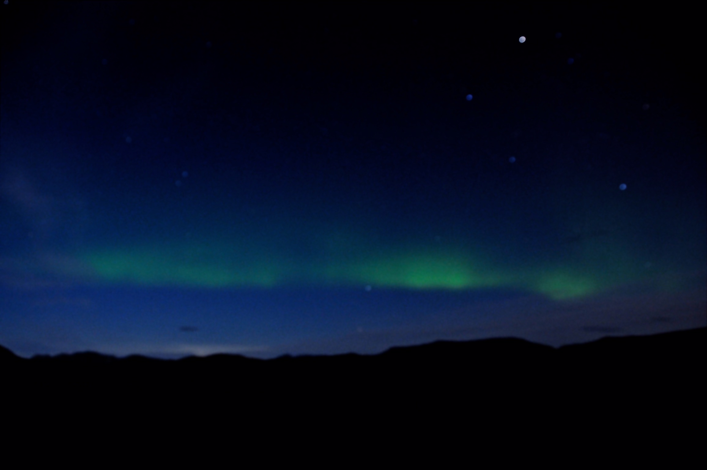
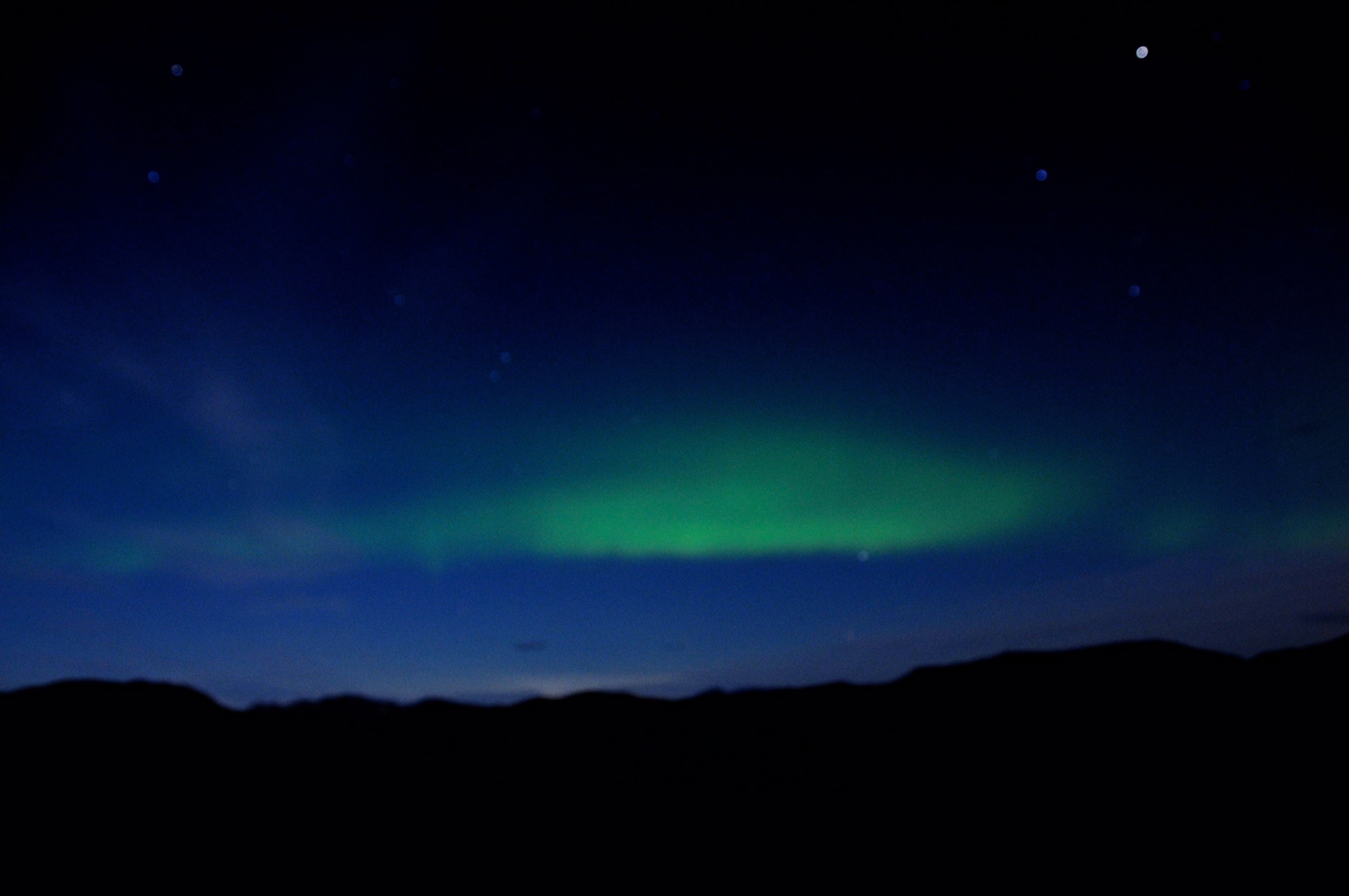
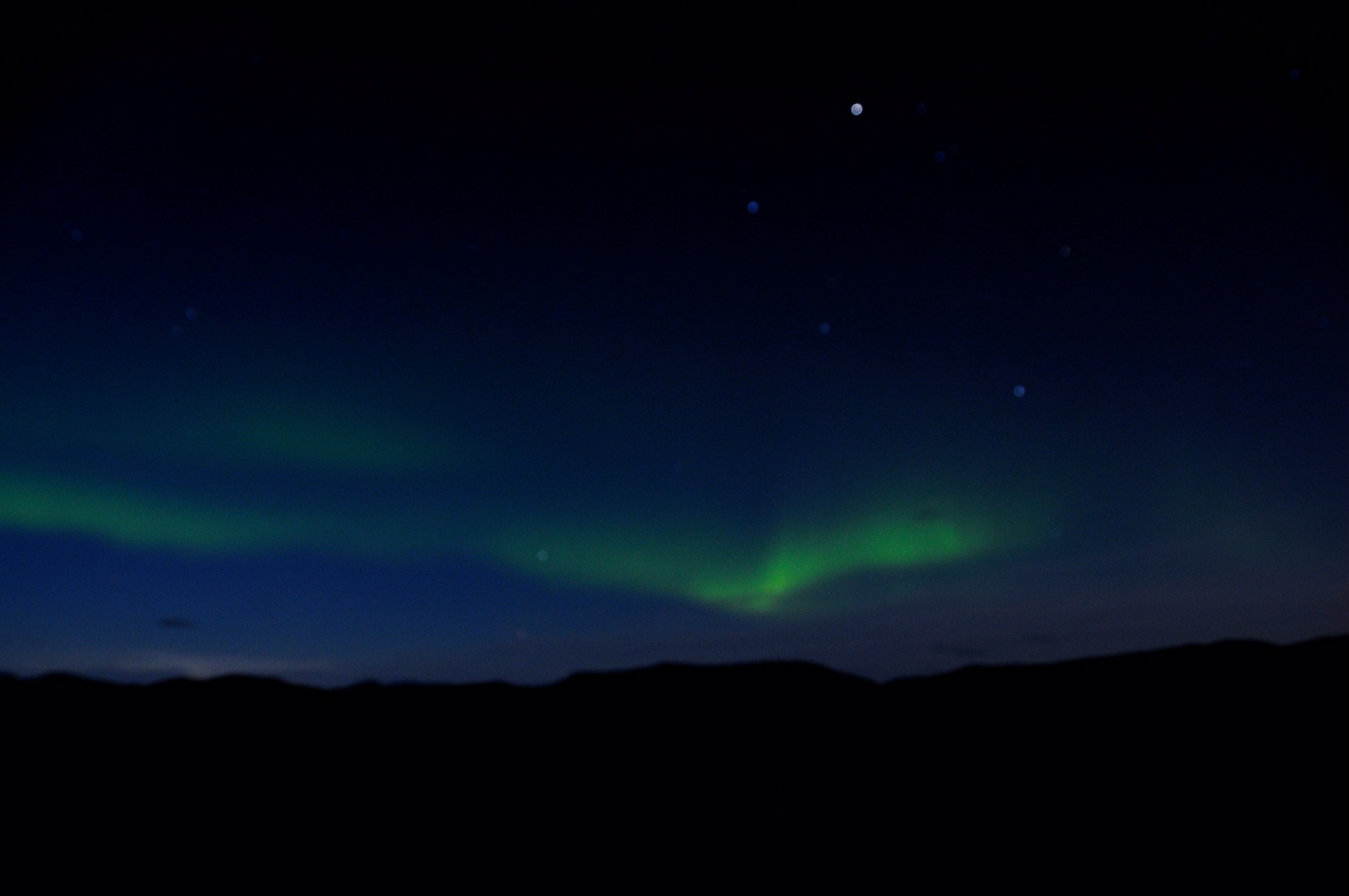
We found a small campground with a decent view to the north, hoping to see the northern lights.
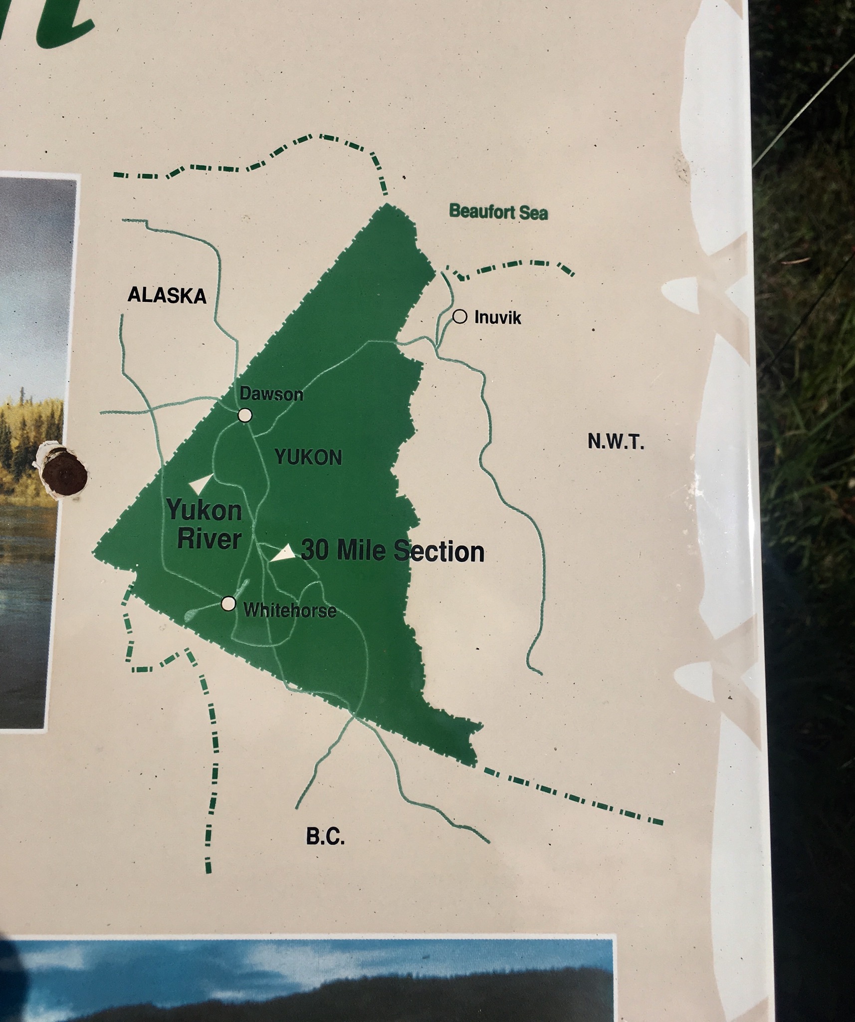
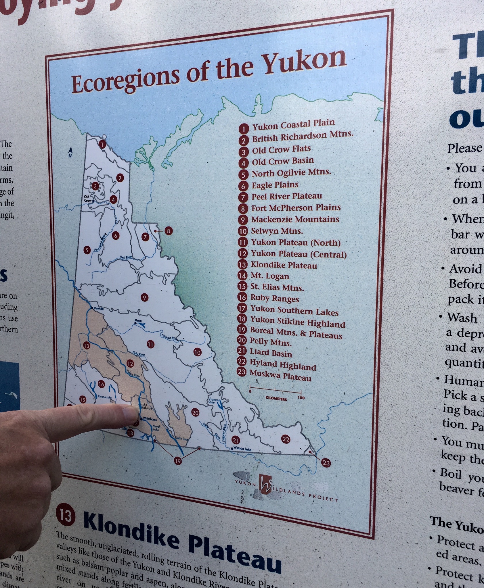
The “you are here” dots are all the more amazing when considering the scale of the Yukon Territory.
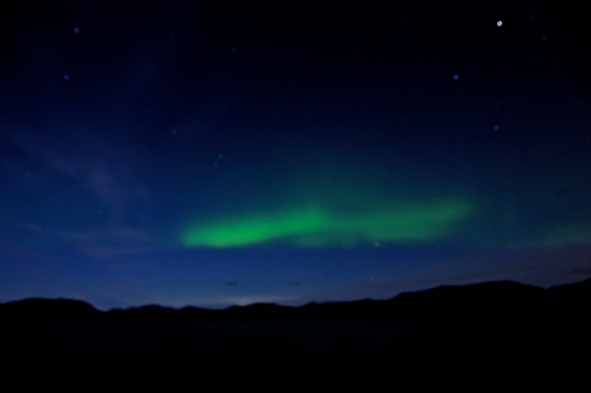
Not as grand as we would have liked, but definitely a glimpse of the northern lights, the aurora borealis!
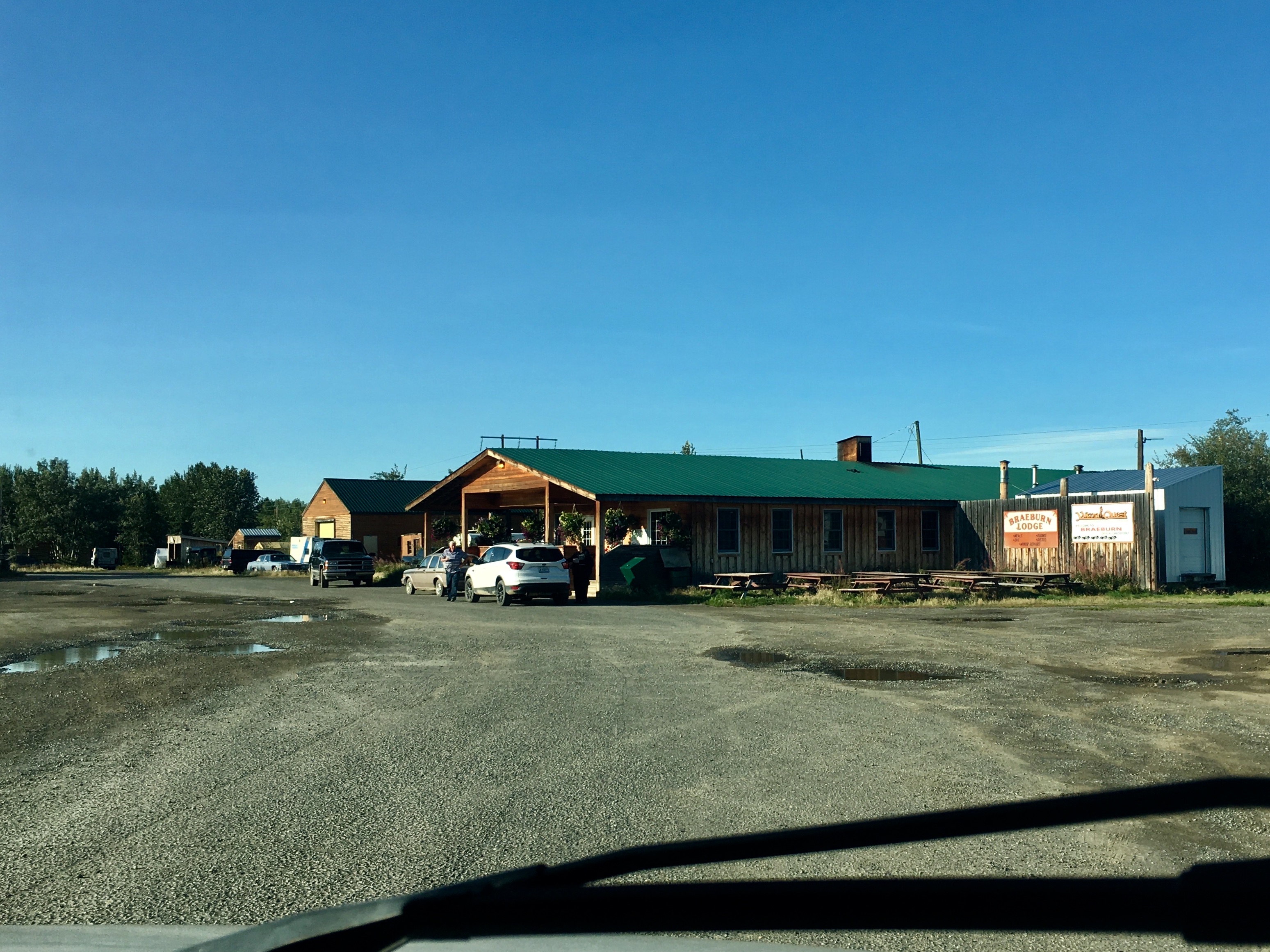
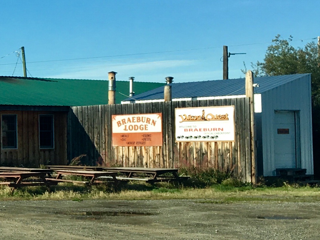
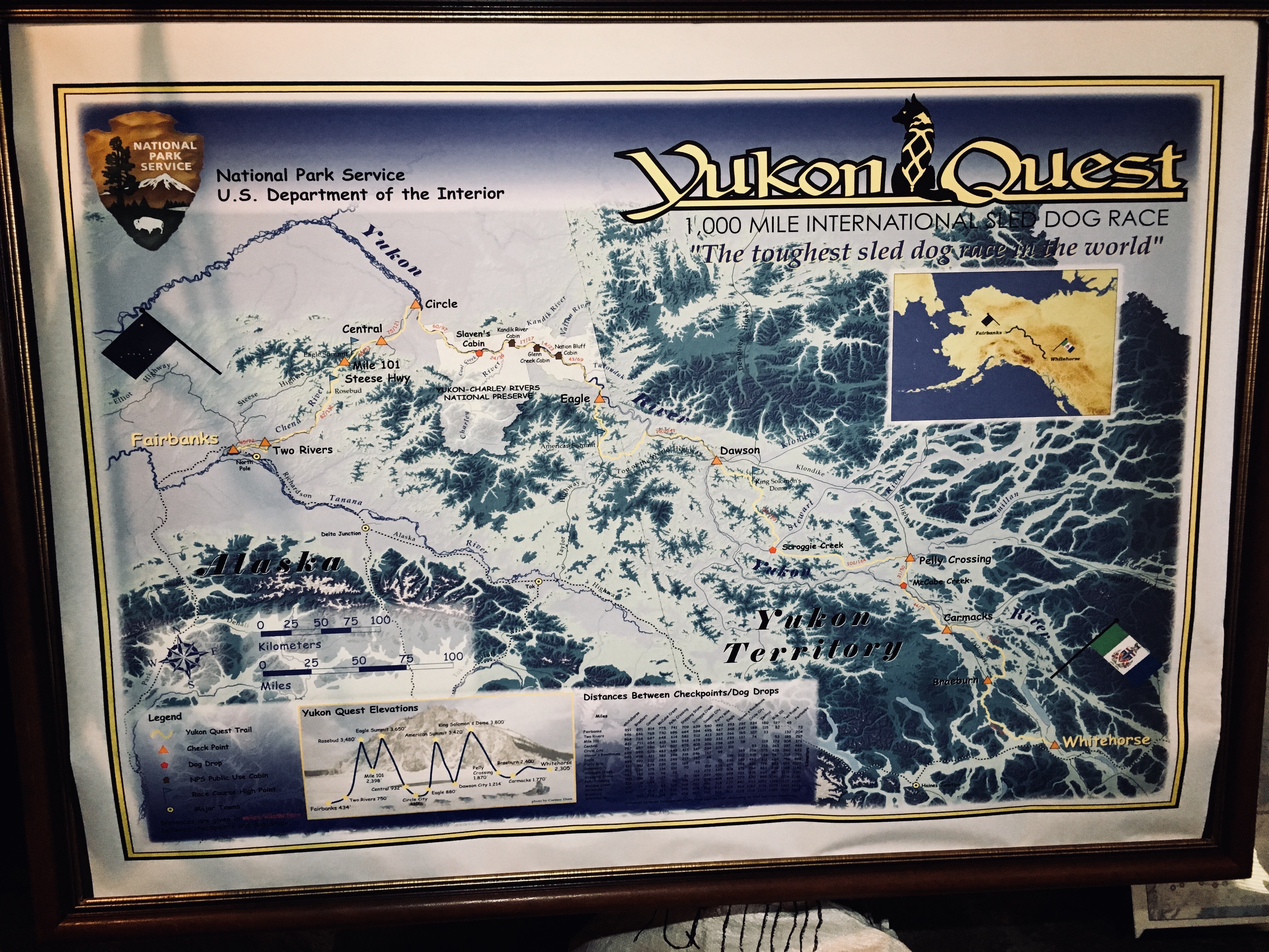
The Braeburn Lodge has 2 main claims to fame. First, it’s a checkpoint on the Yukon Quest. Secondly, and more immediate, they have excellent and very large cinnamon buns!
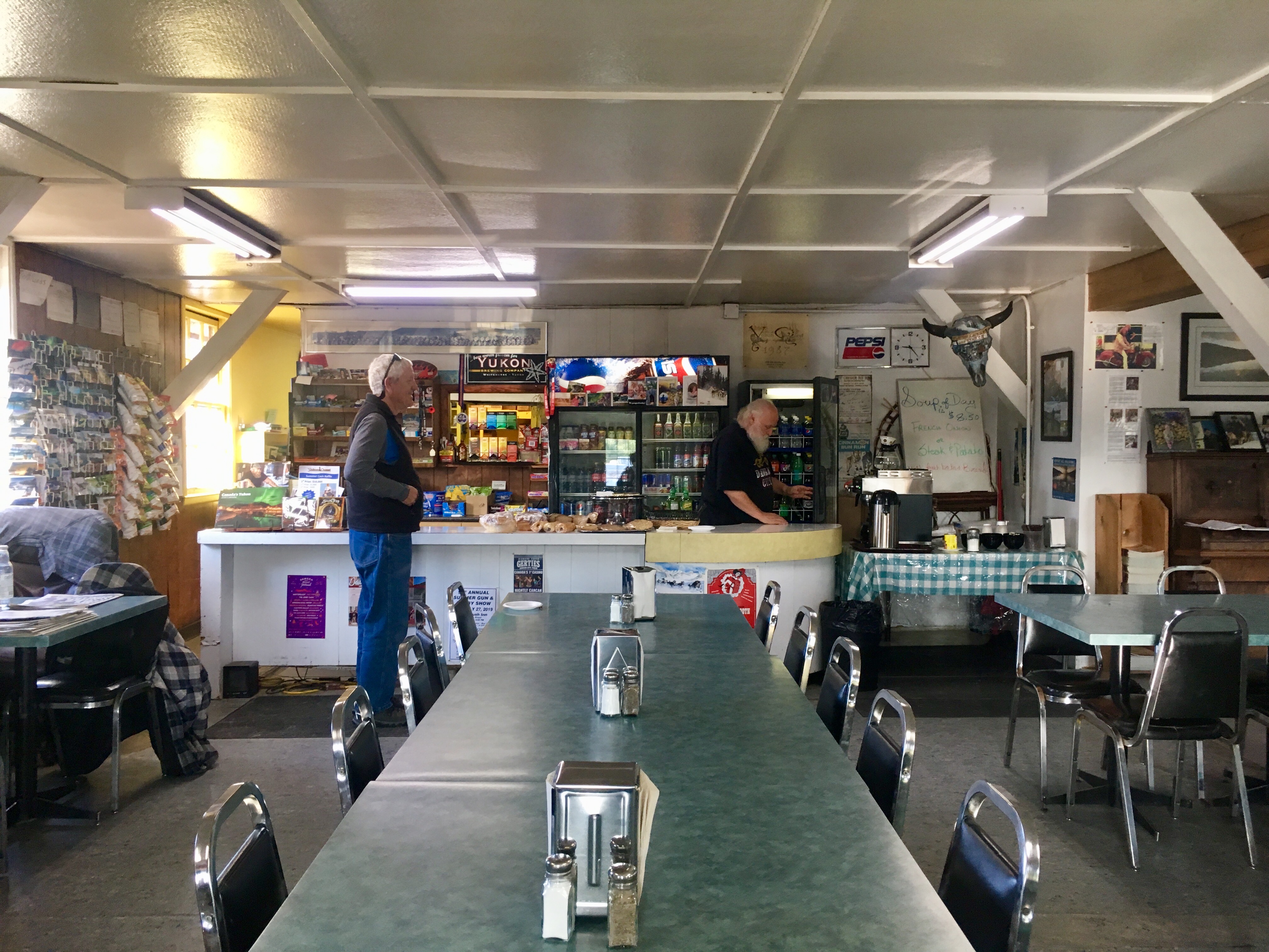
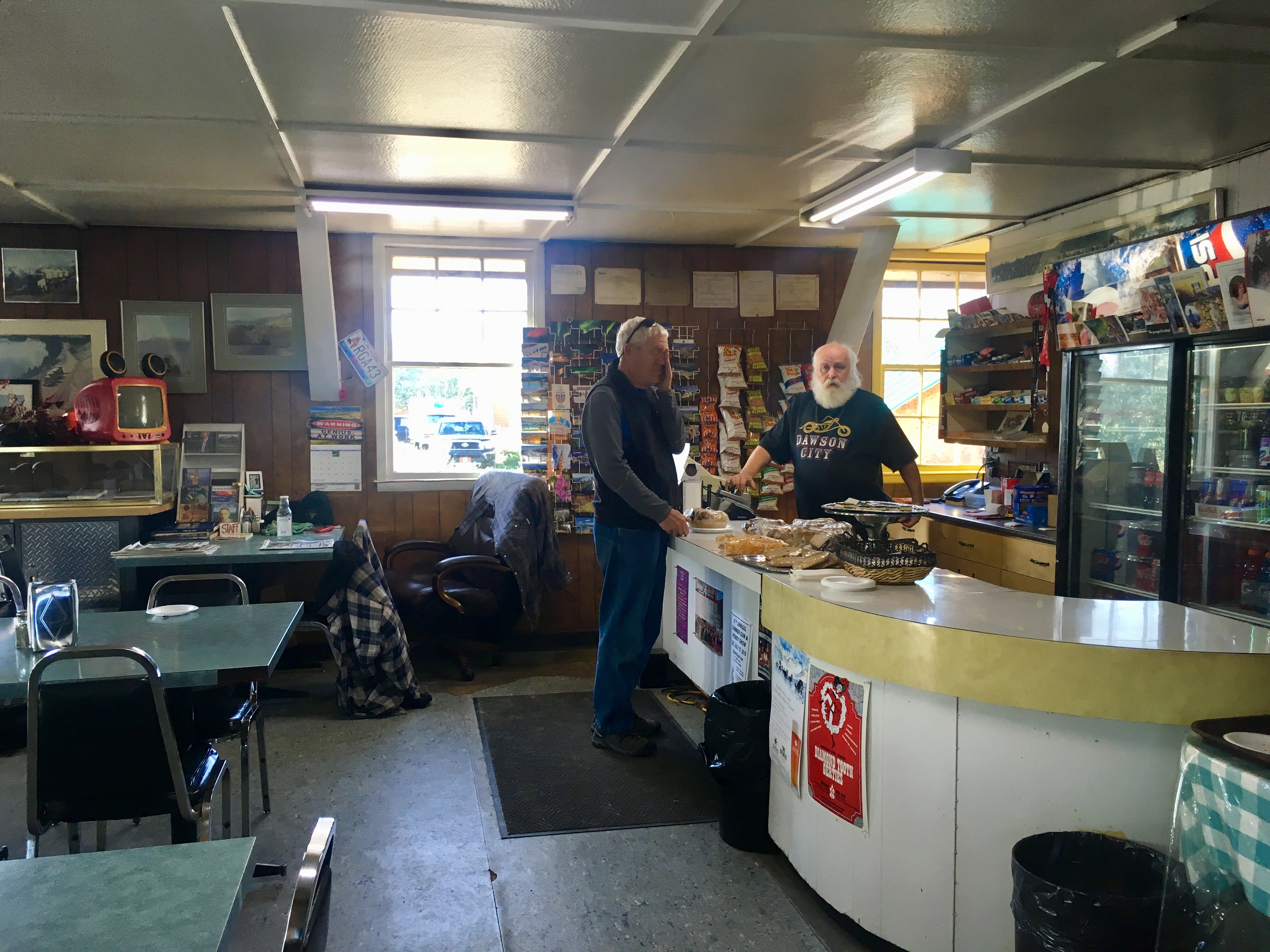
The maker of the buns and the proprietor of the Lodge.
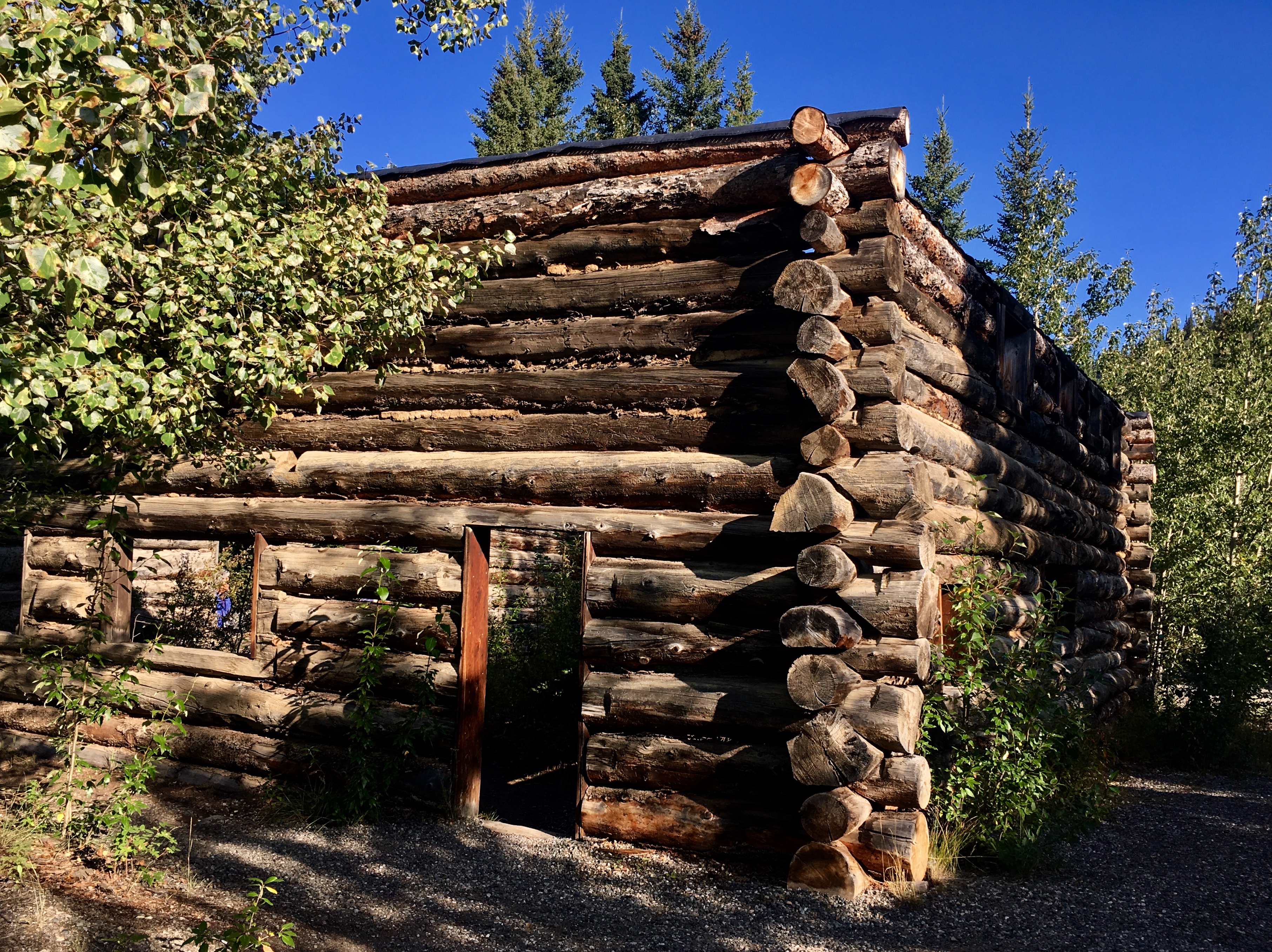
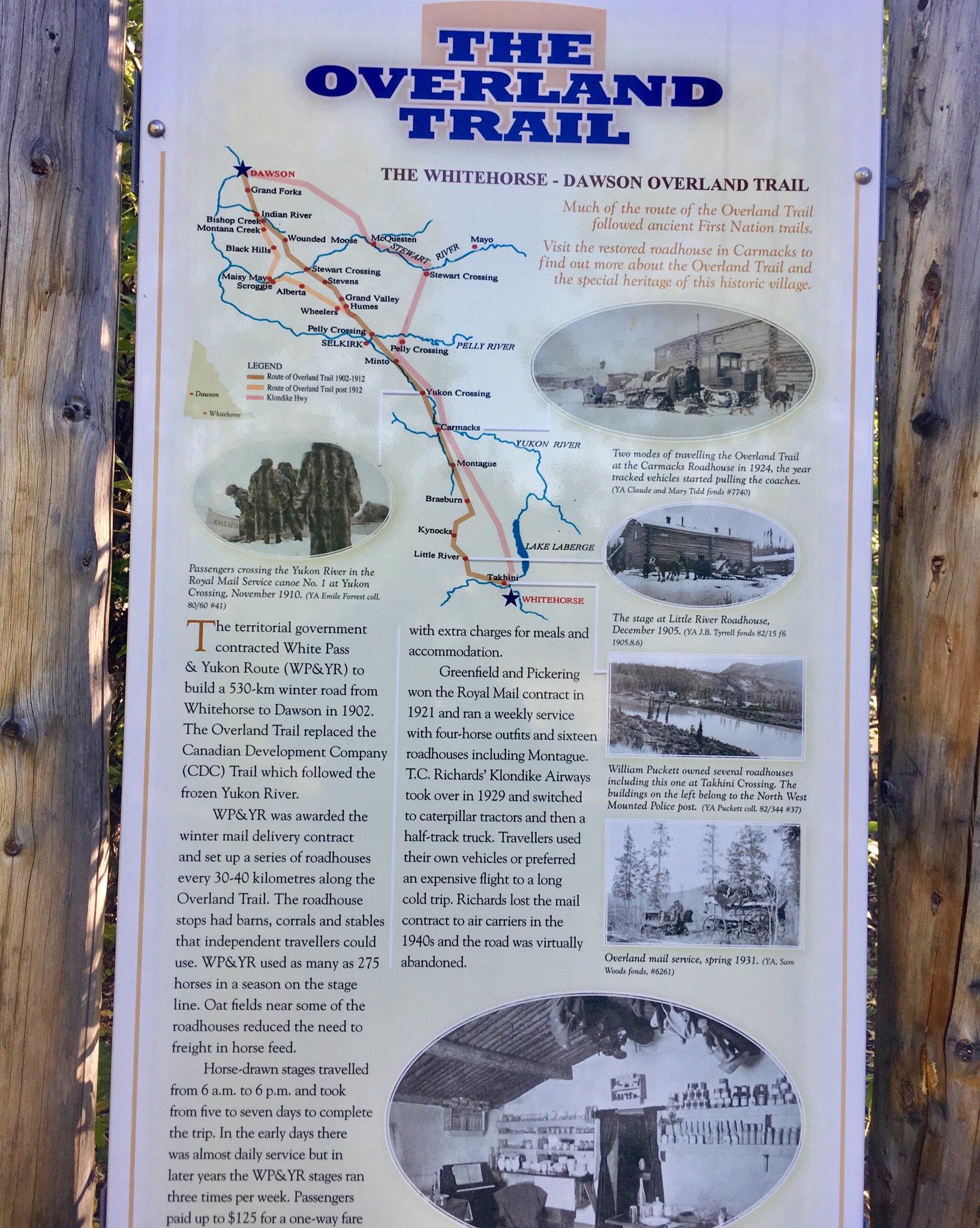
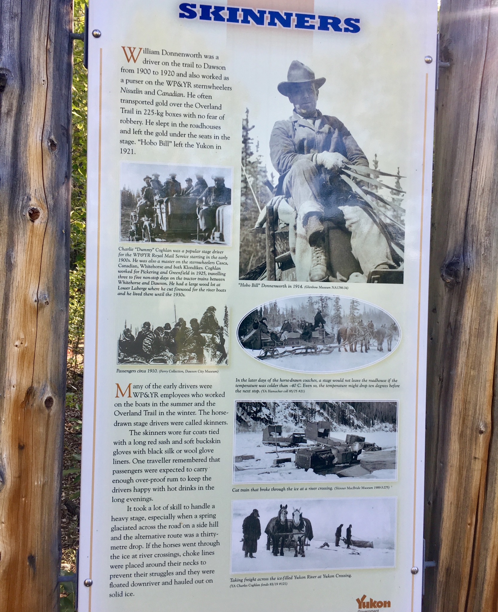
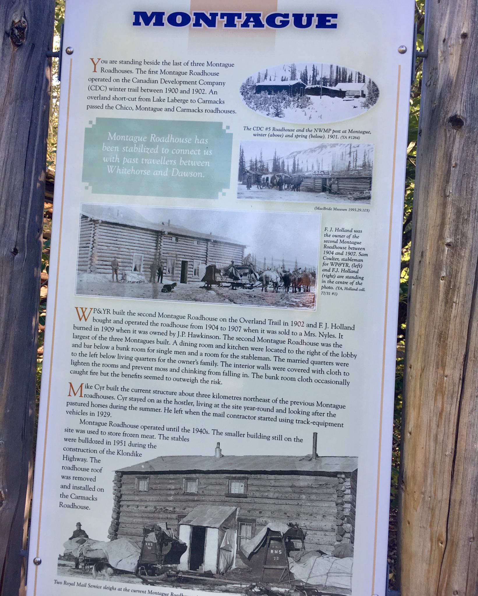
The historical Montague Roadhouse. Another major stop for the gold rushers heading through this way. Some of the buildings have been restored, including the main roadhouse. Some are still standing but are pretty rough. Together, they illustrate what life must have been like traveling along the route.

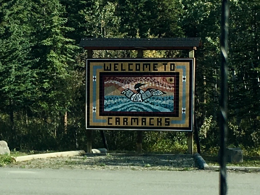
Carmack, named after George Carmack, the person credited with discovering the first gold nugget that sparked the Klondike gold rush. Although the stories get pretty murky. Pierre Burton’s book Klondike tells all sides of the story, and details how Lyin’ George Carmack got his nickname…
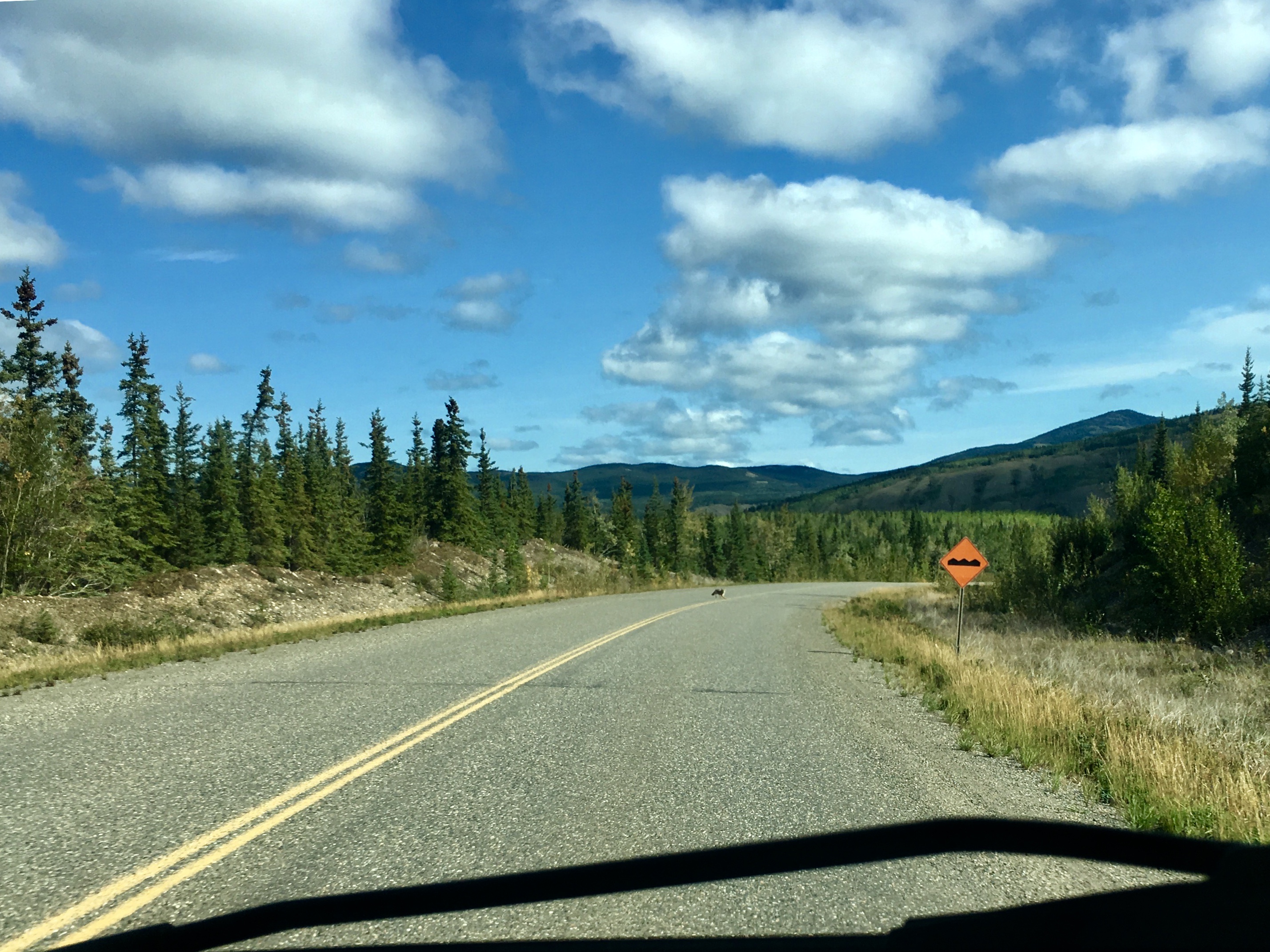
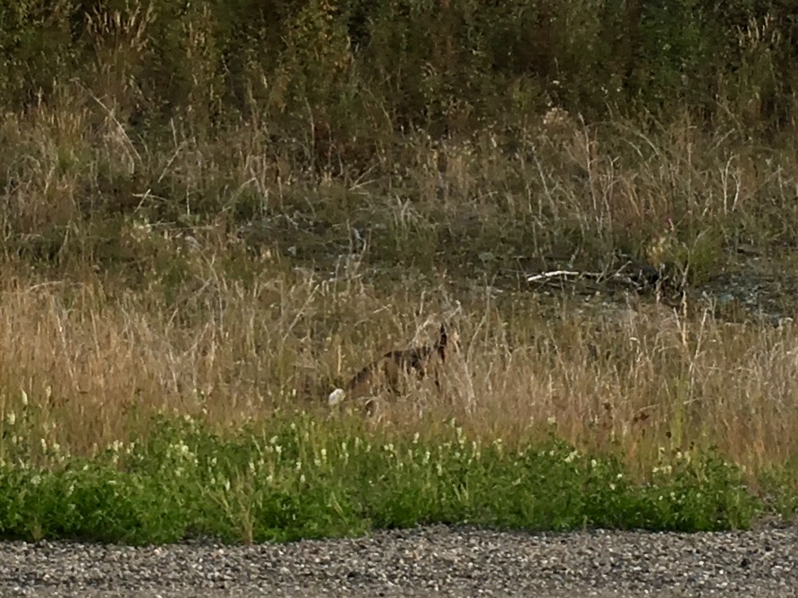
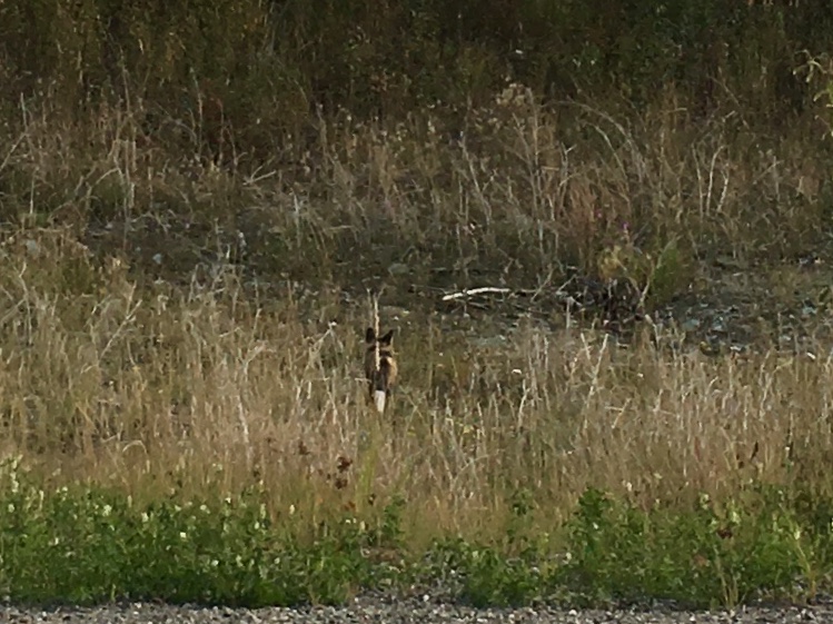
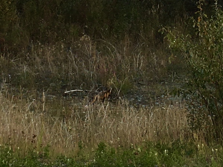
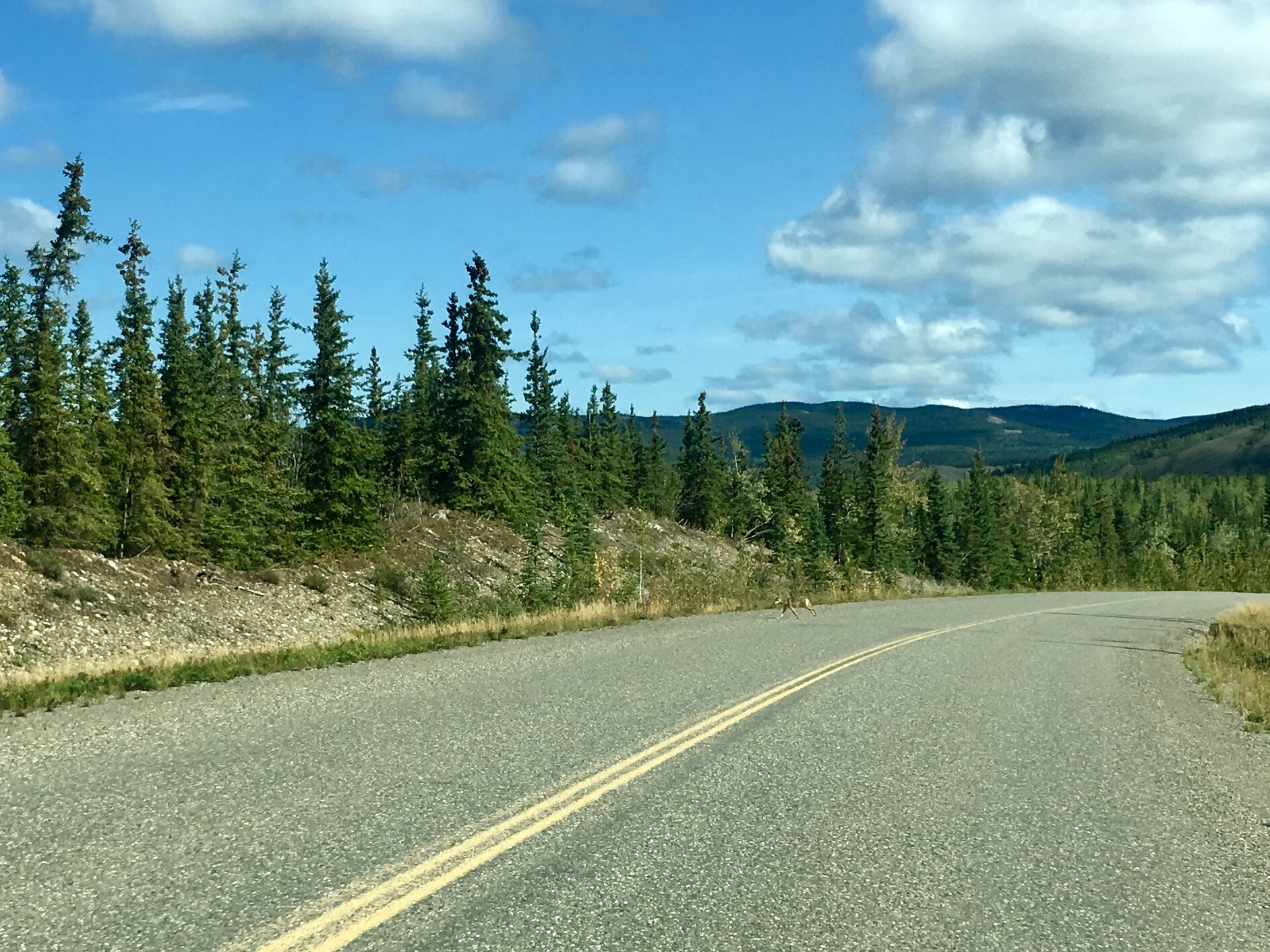
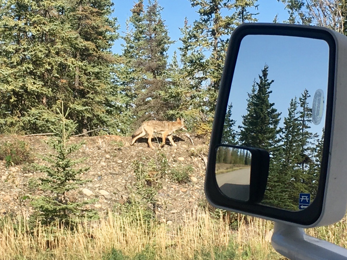
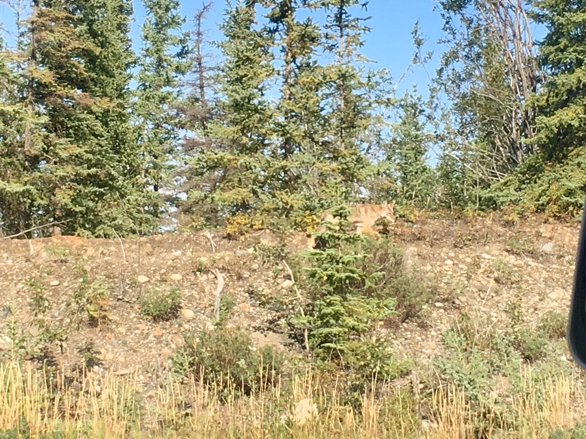
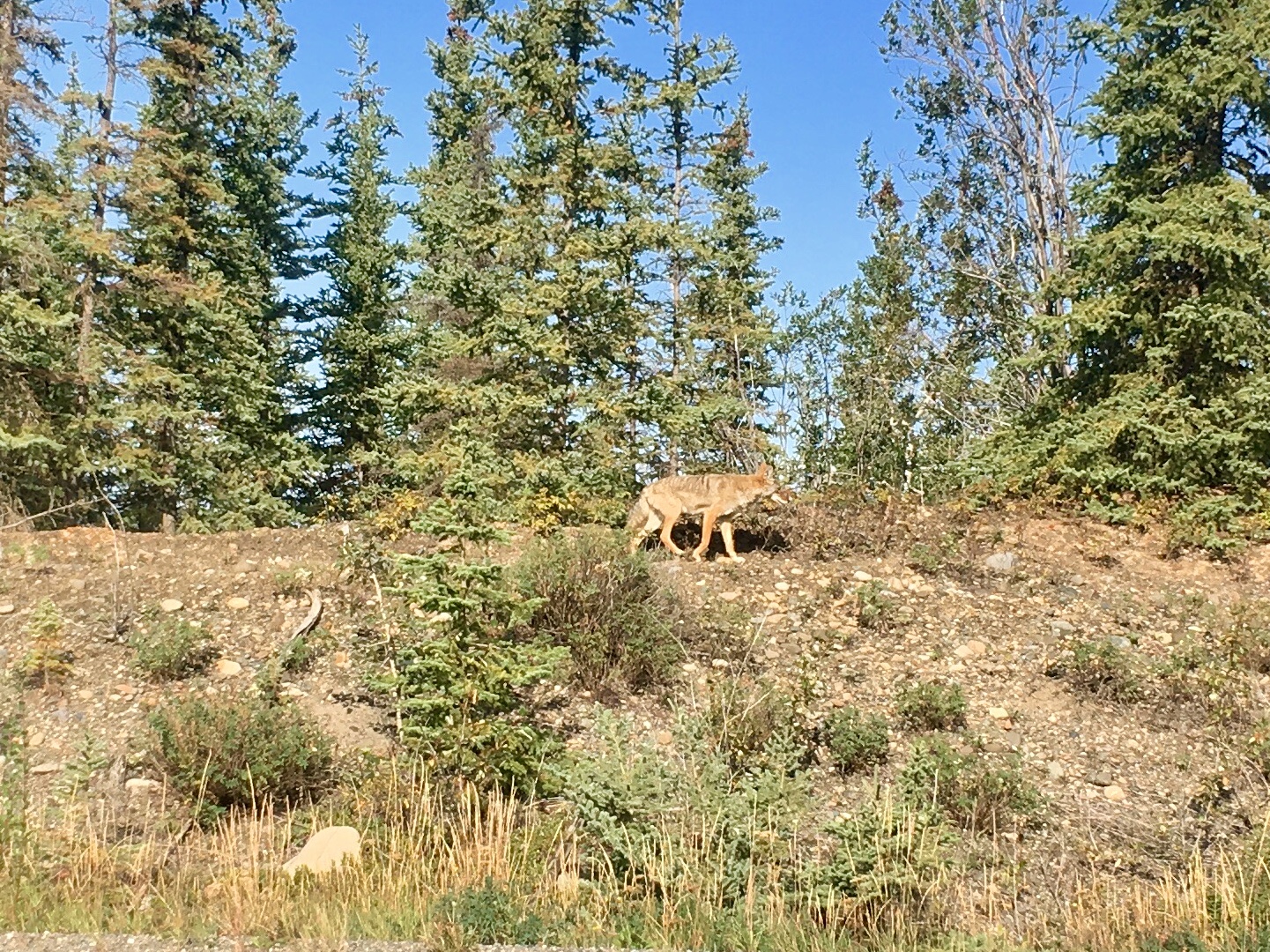
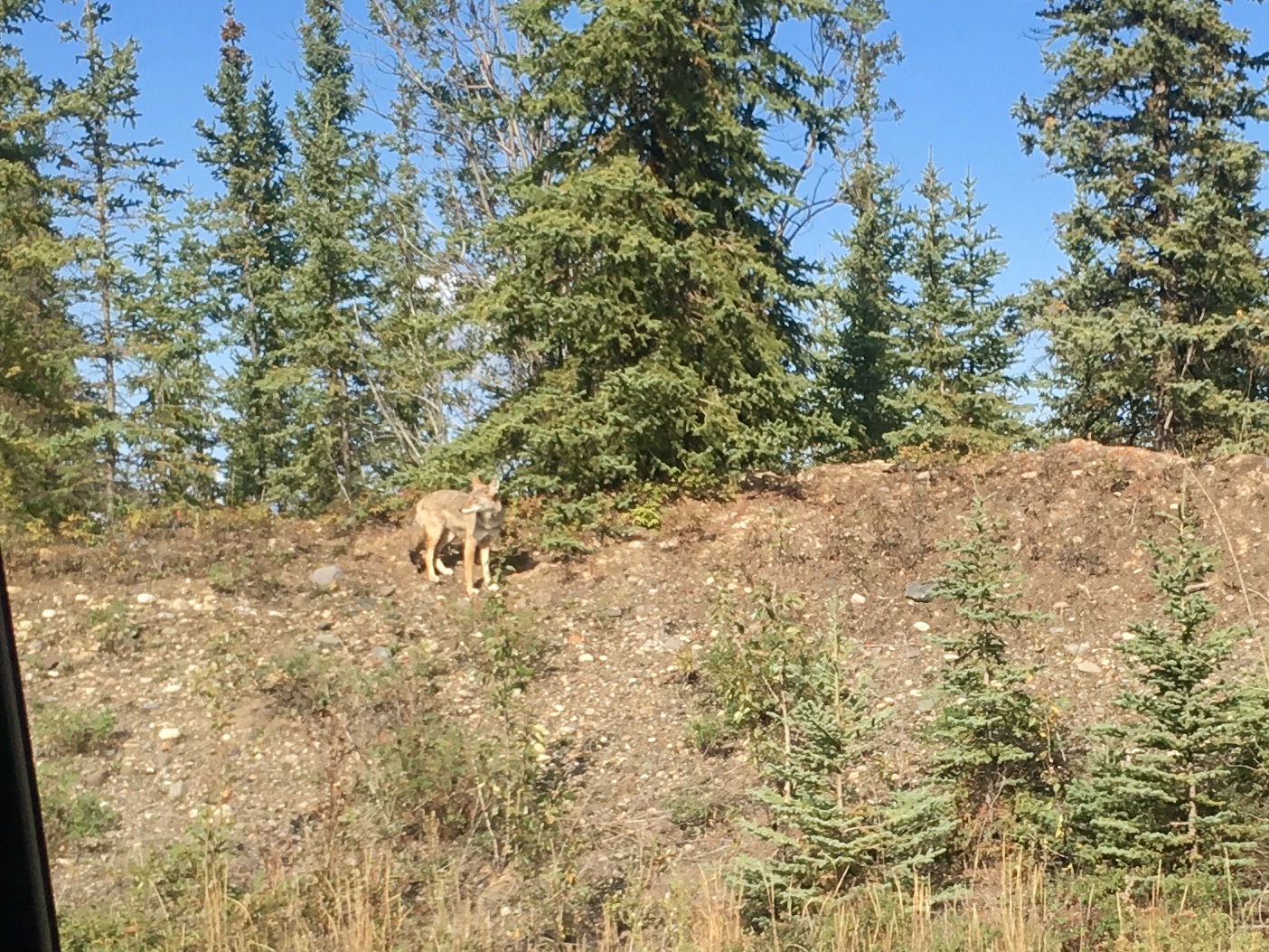
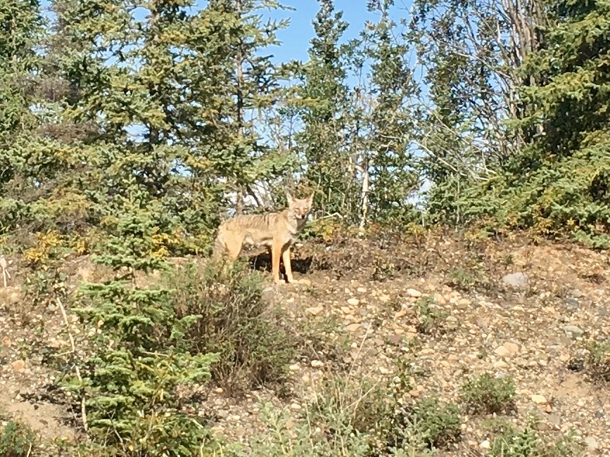
Our first coyote sighting! He ran across the road and then stood on the shoulder posing for a bit. Western Coyotes are apparently pretty shy and aren’t often seen.
Driving up into Autumn. the color changes were stark as we drove up the road to Dawson City.

The Pelly River. Pelly Crossing is part of the Yukon Quest route.
Stewart Crossing. Turn left for Dawson City and gold mining country, turn right for Mayo and silver mining. We followed the gold rush.
But if not…
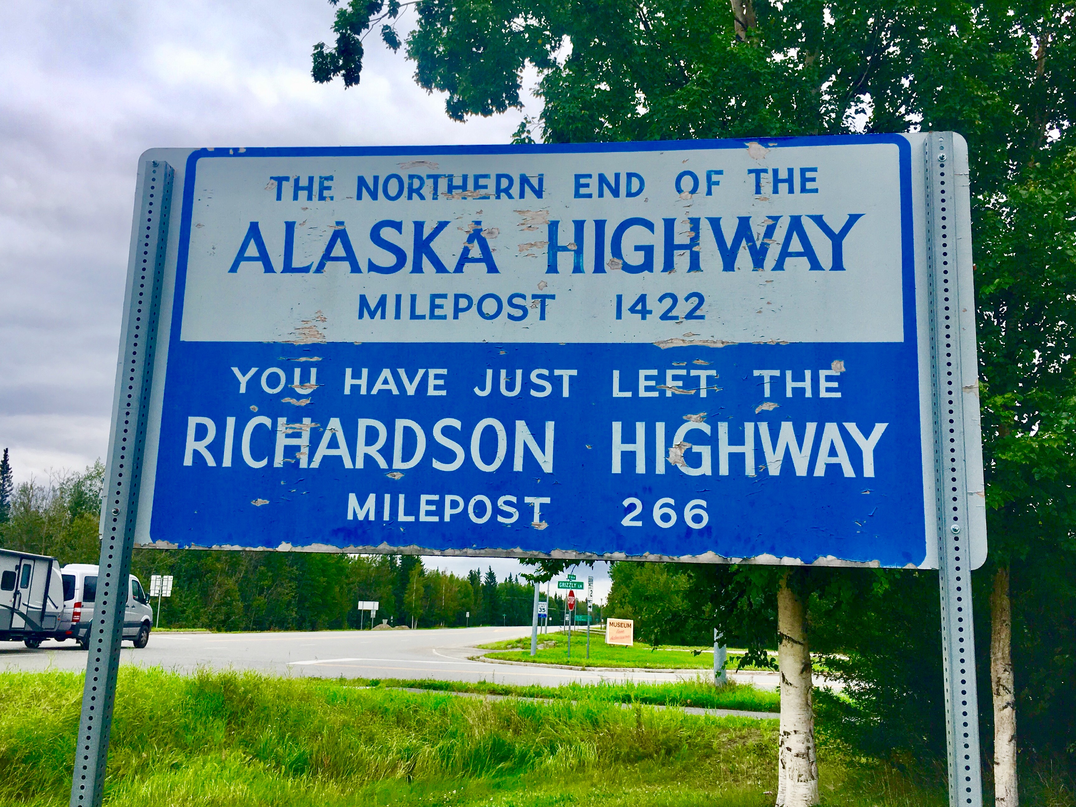
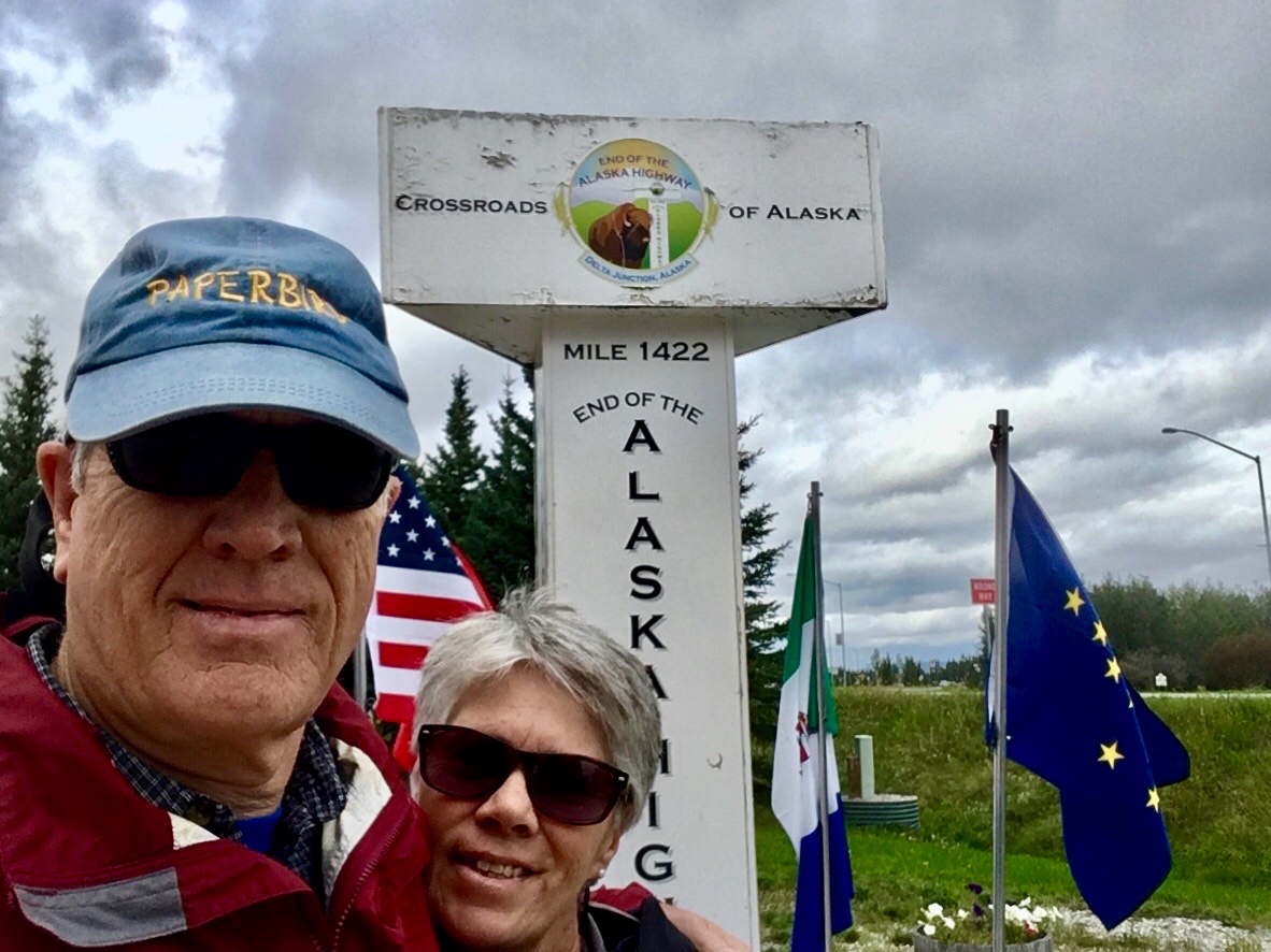
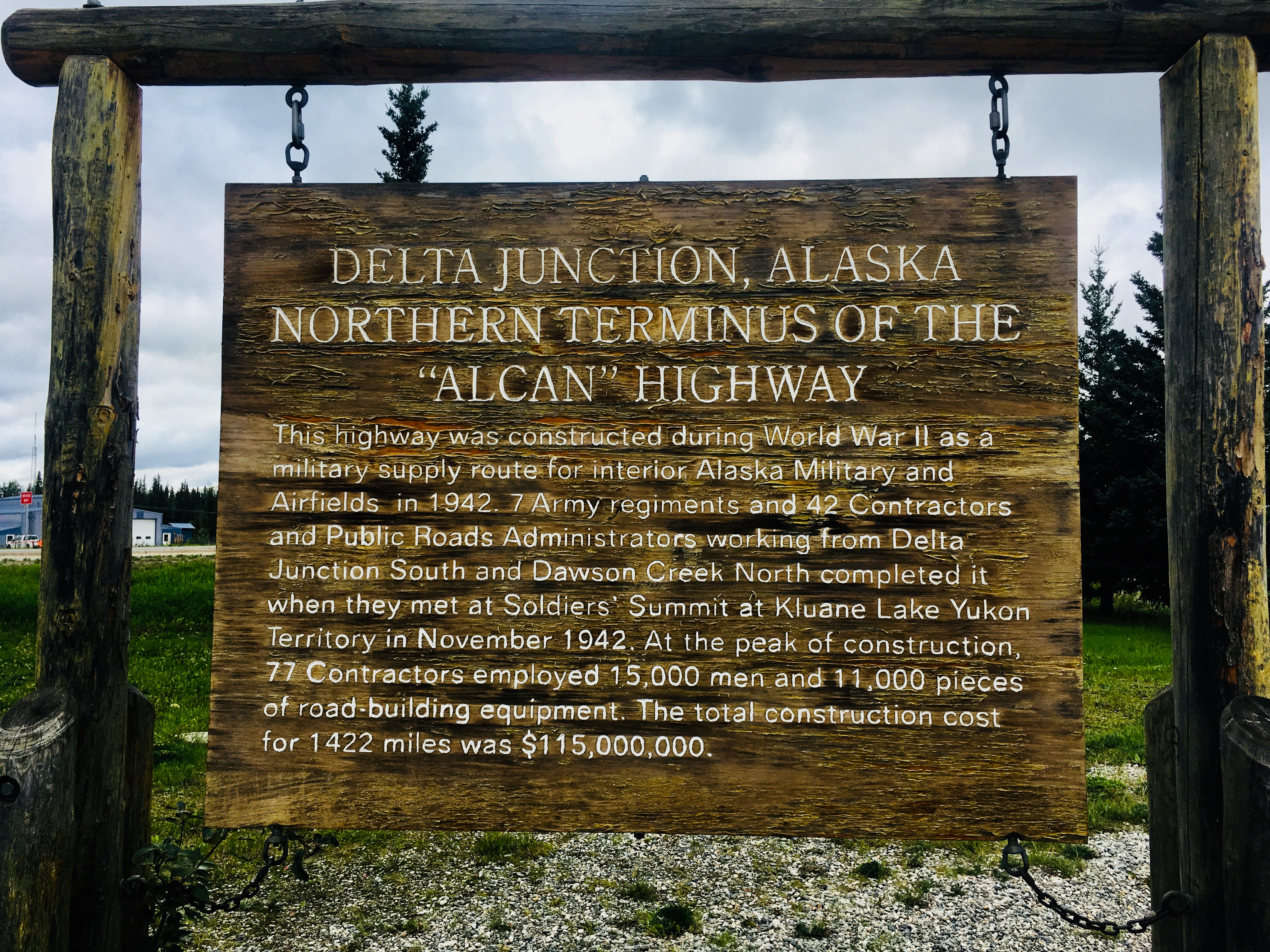
The end of the road! Actually, the official end of the Alaska Highway. It’s interesting to note that the Alaska highway was originally built as a military road. Fearing a Japanese invasion of Alaska, the military needed a way to transport vast amounts of equipment and men from the lower 48 up to Alaska. So the Army Corps of Engineers built the original highway in 1942 in just 8 months. Of course, it was dirt and gravel, had as high as 25% grades and some of the bridges were more like fords than bridges. Over time, it has been improved, rerouted, paved and smoothed out. The steepest grades are now 10% and the bridges are all pretty solid. The last gravel stretch was finally paved in 1992.
Brrr! Not sure I’d advertise this too widely.

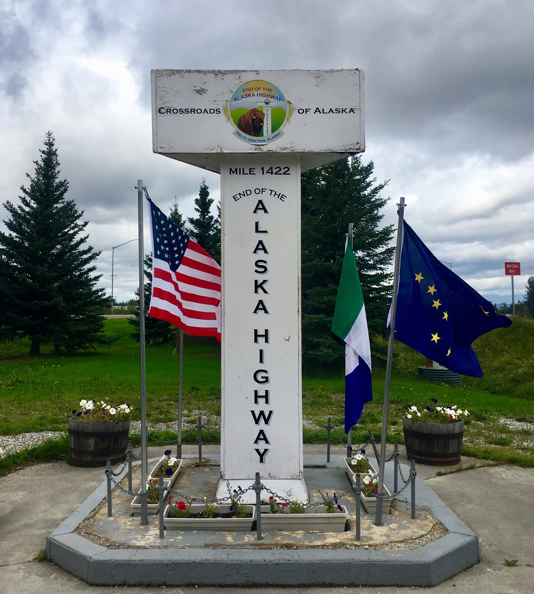
Since we ferry hopped up to Alaska, we didn’t drive the Alaska highway. So we drove it backwards at the end of the trip – starting at mile 1422 and counting down.
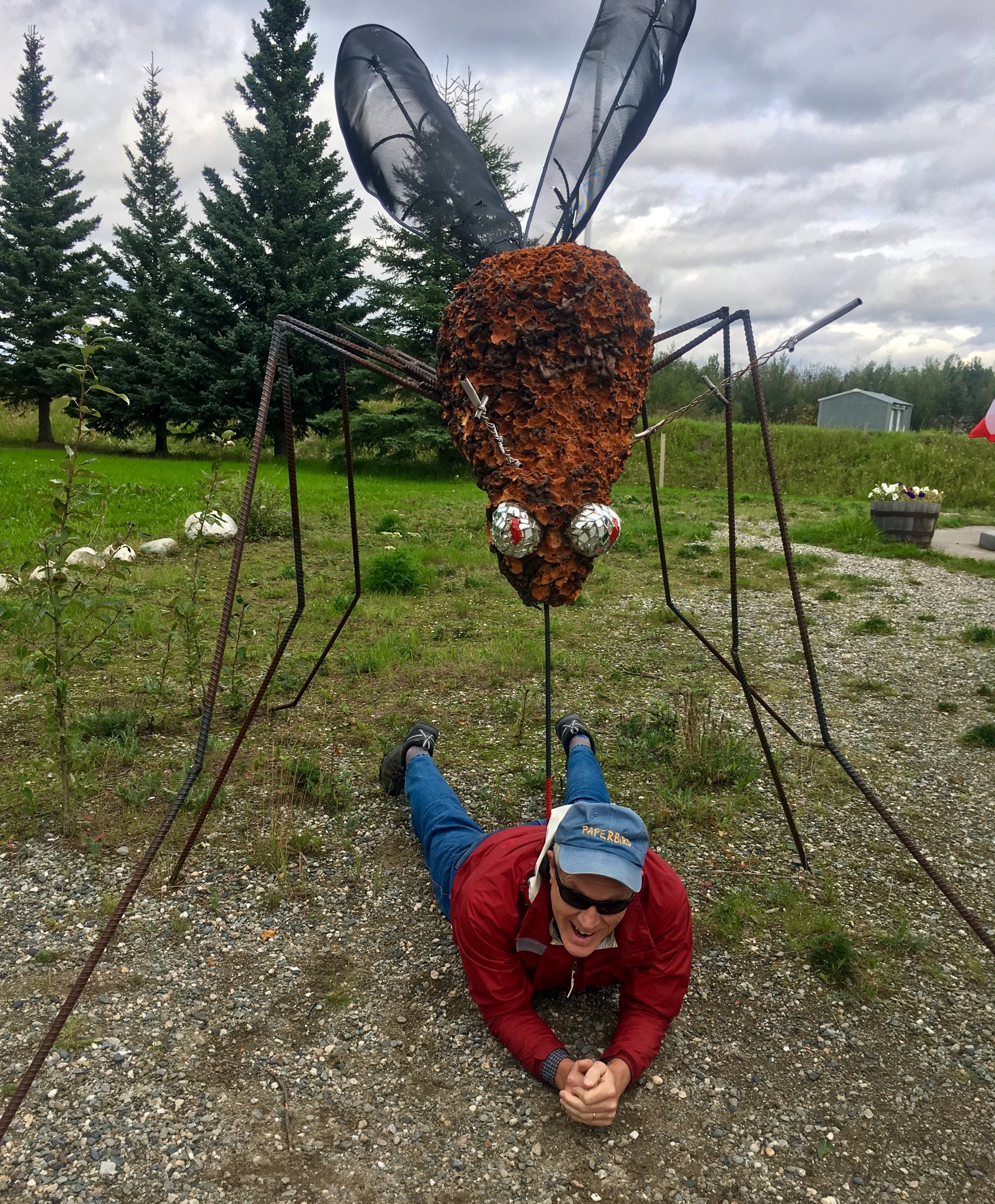
The mosquitos grow big – this one almost did us in!
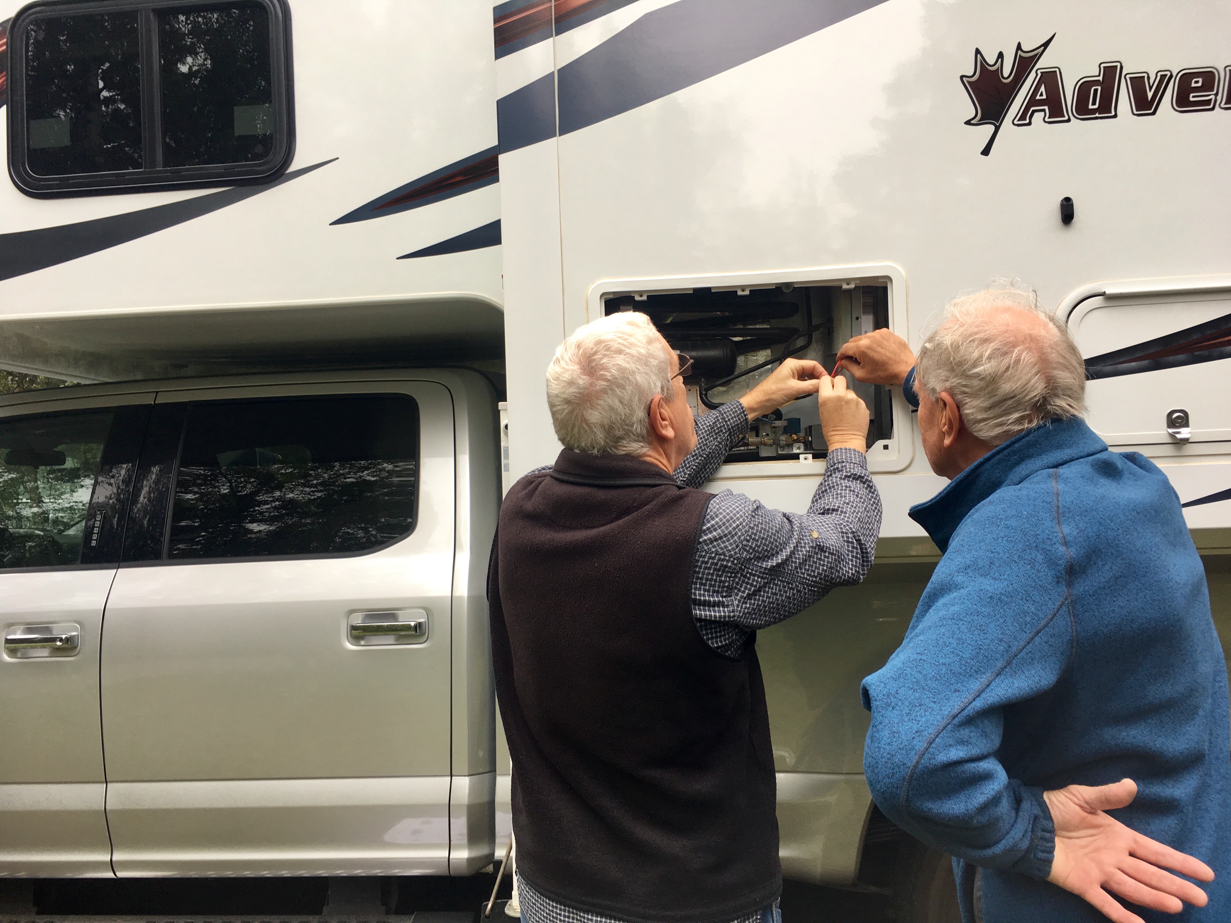
We met a German couple in a charter camper whose refrigerator quit right at the beginning of their trip. Fortunately it was a minor issue that could be fixed with a scrap of wire and some electrical tape.
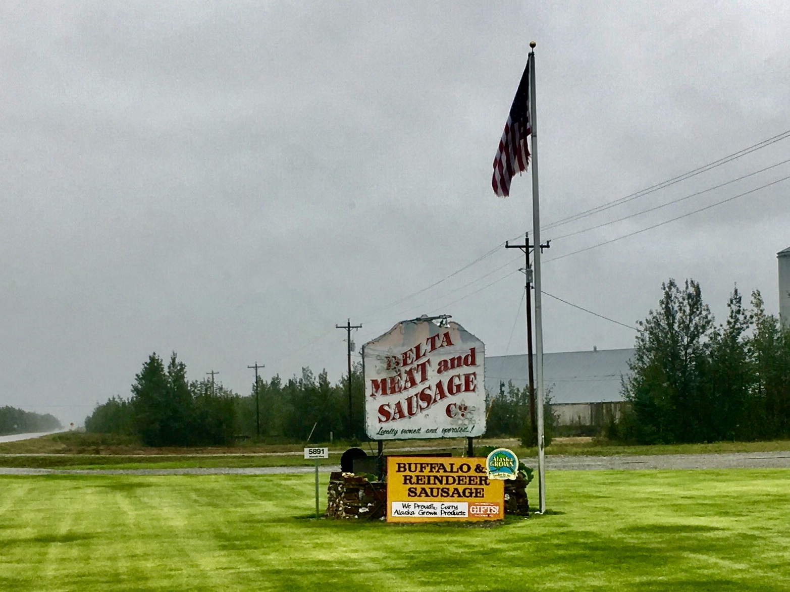
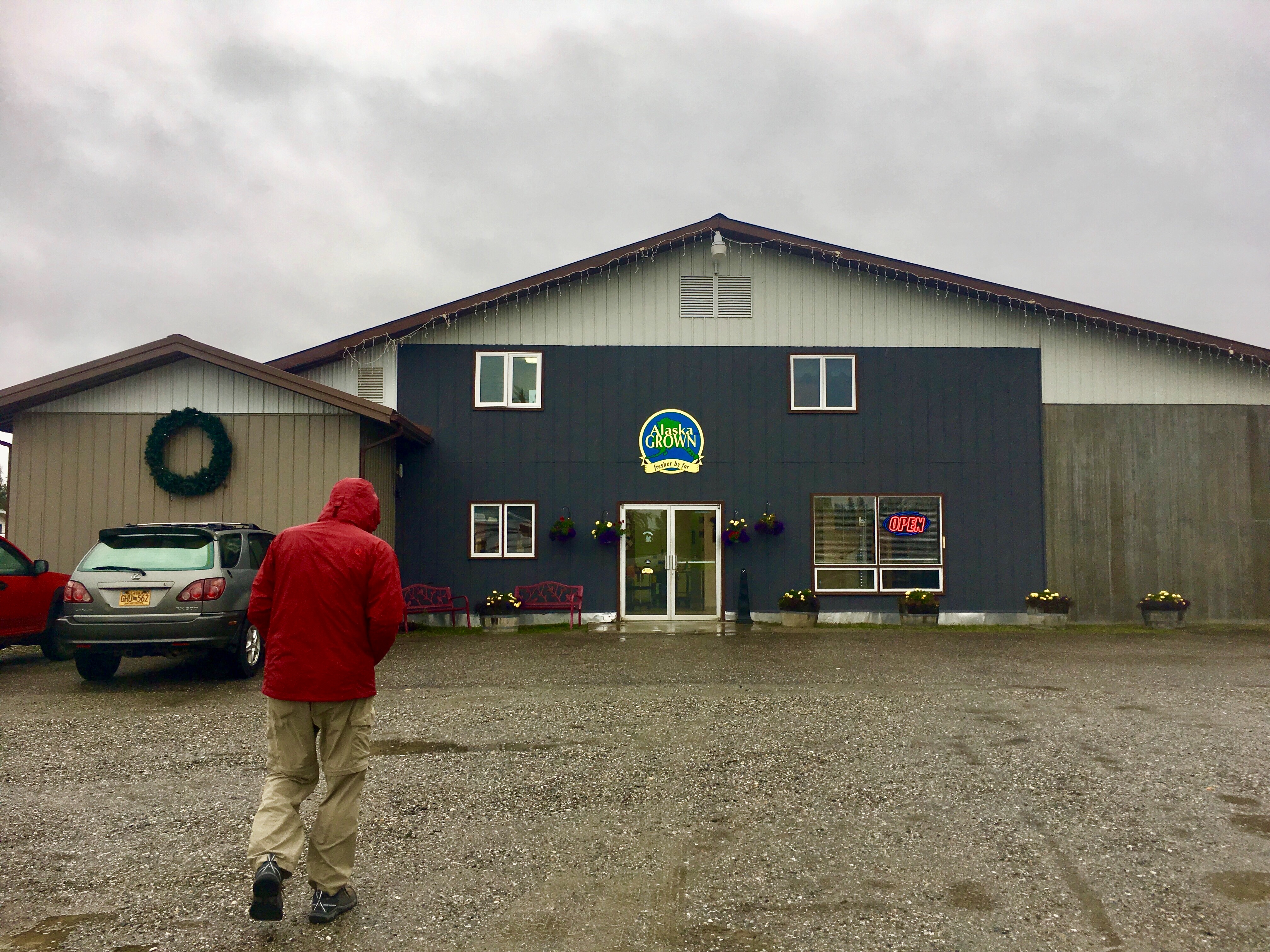
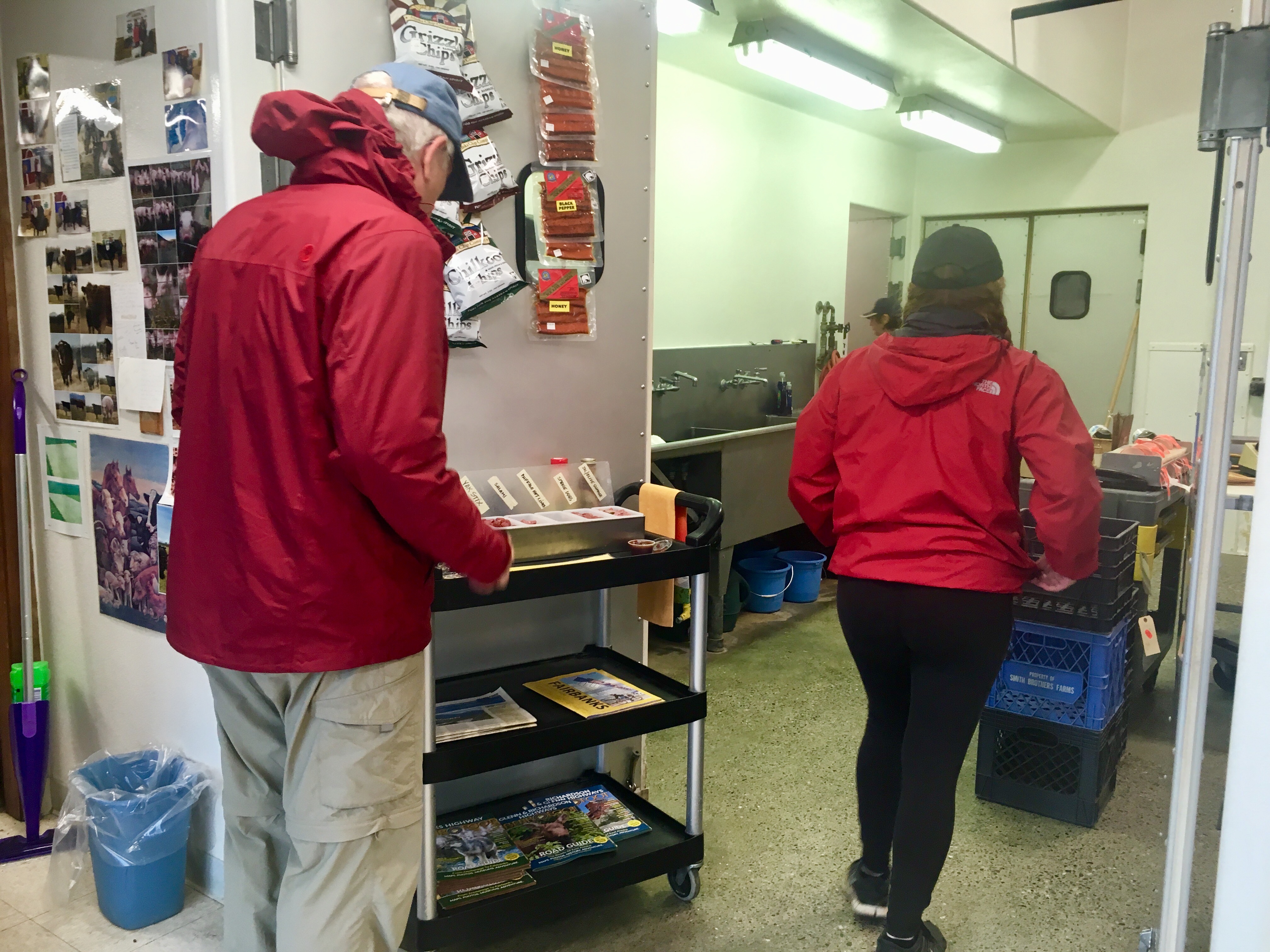
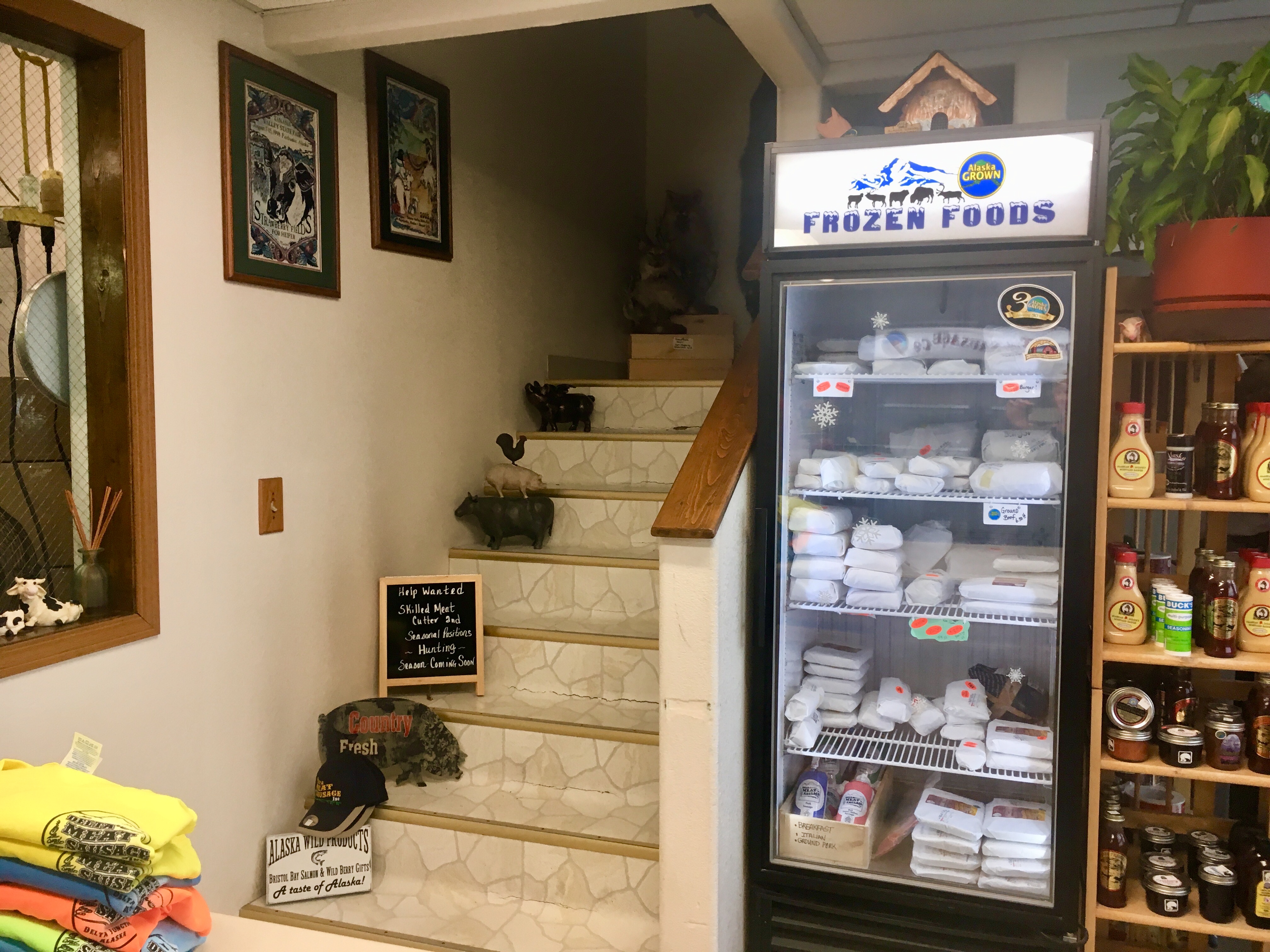
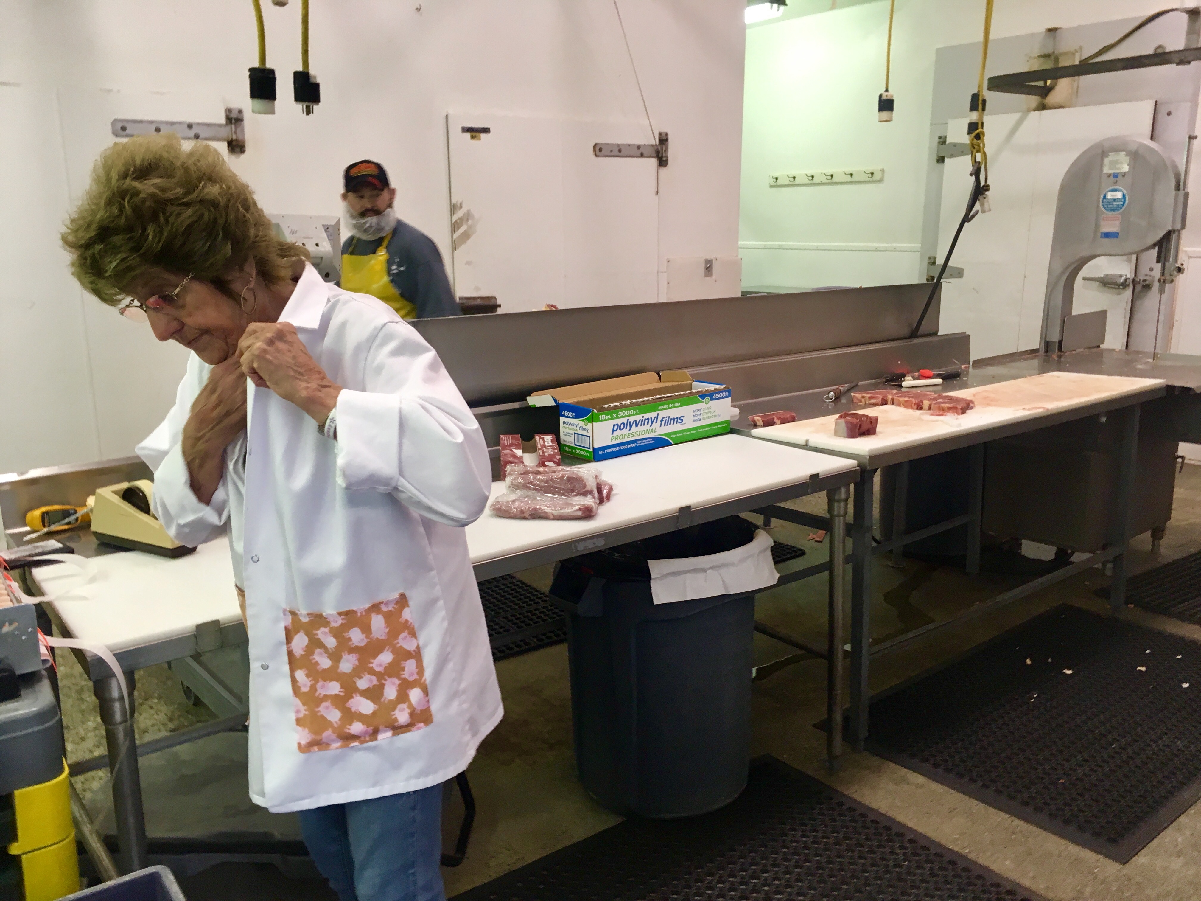
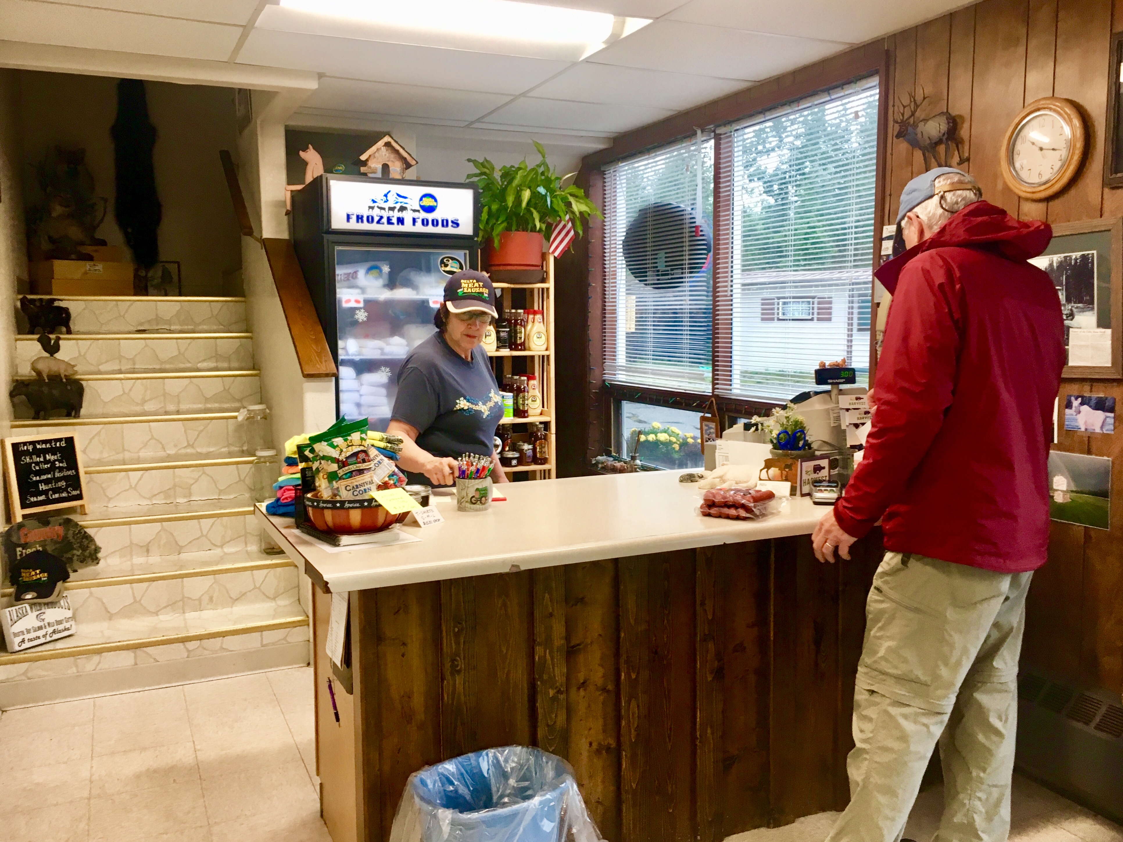
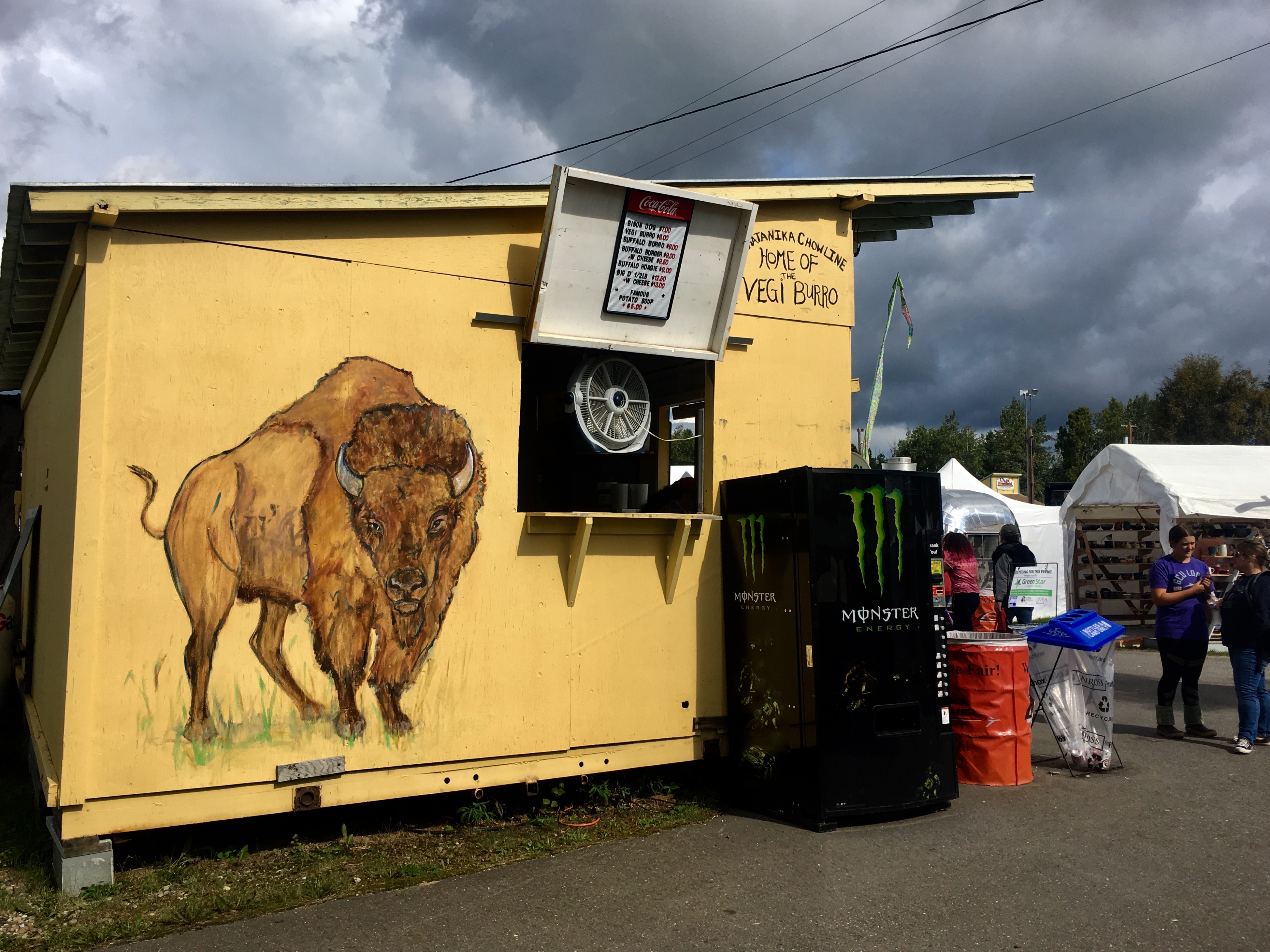
We found a meat packing company and bought some bison sausage. They had several different types to sample, including reindeer and yak.

But if not…
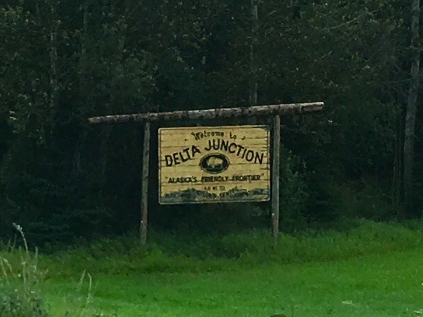
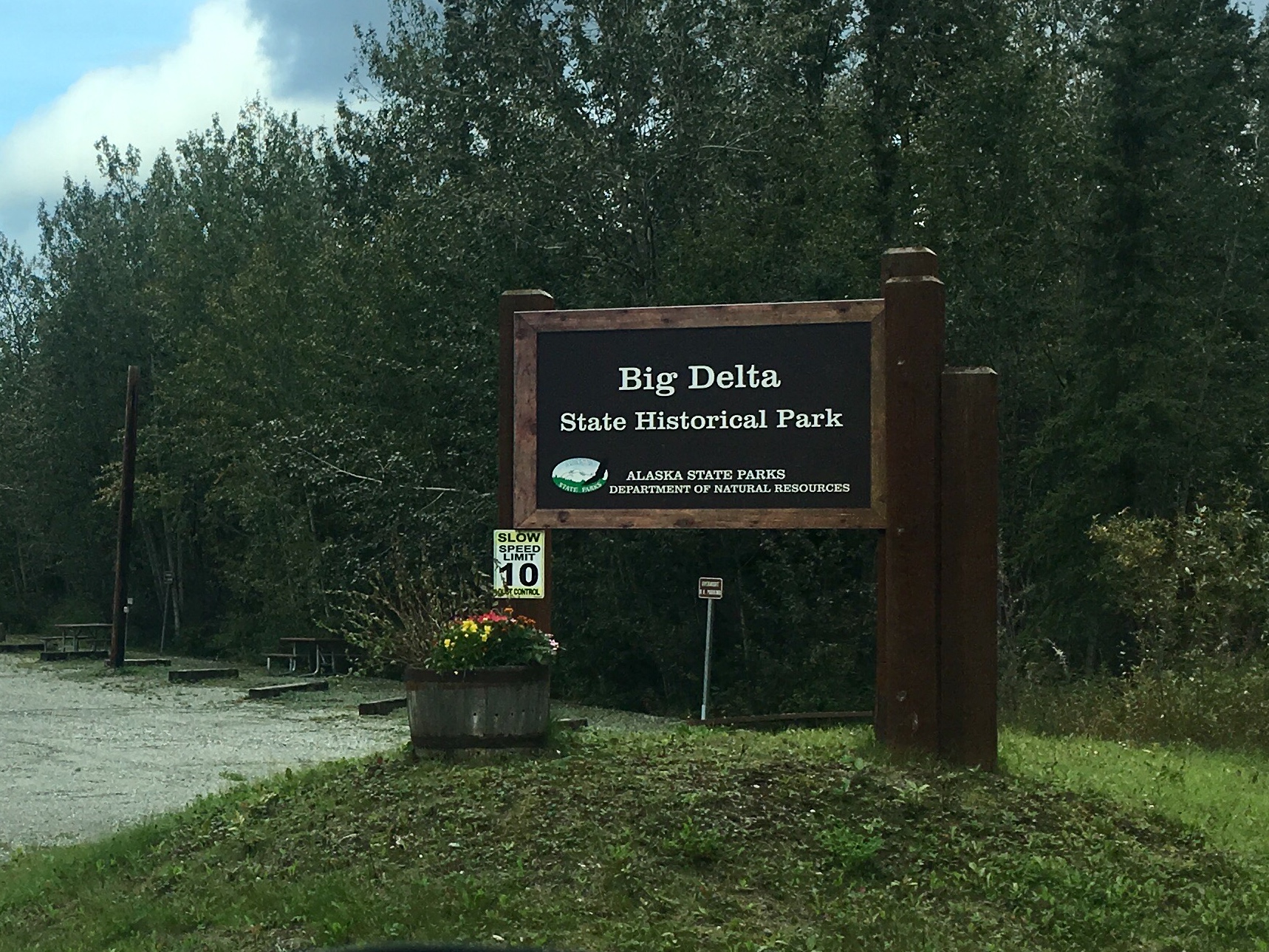
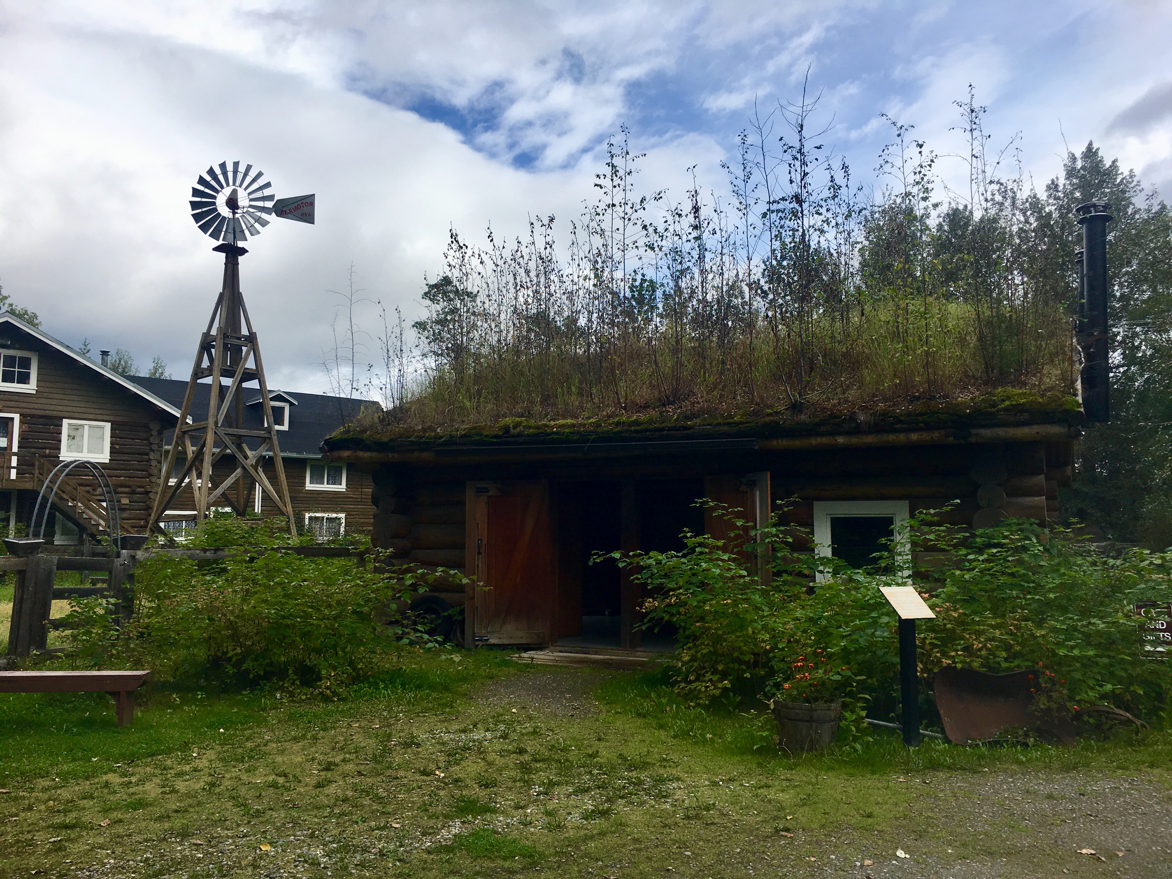
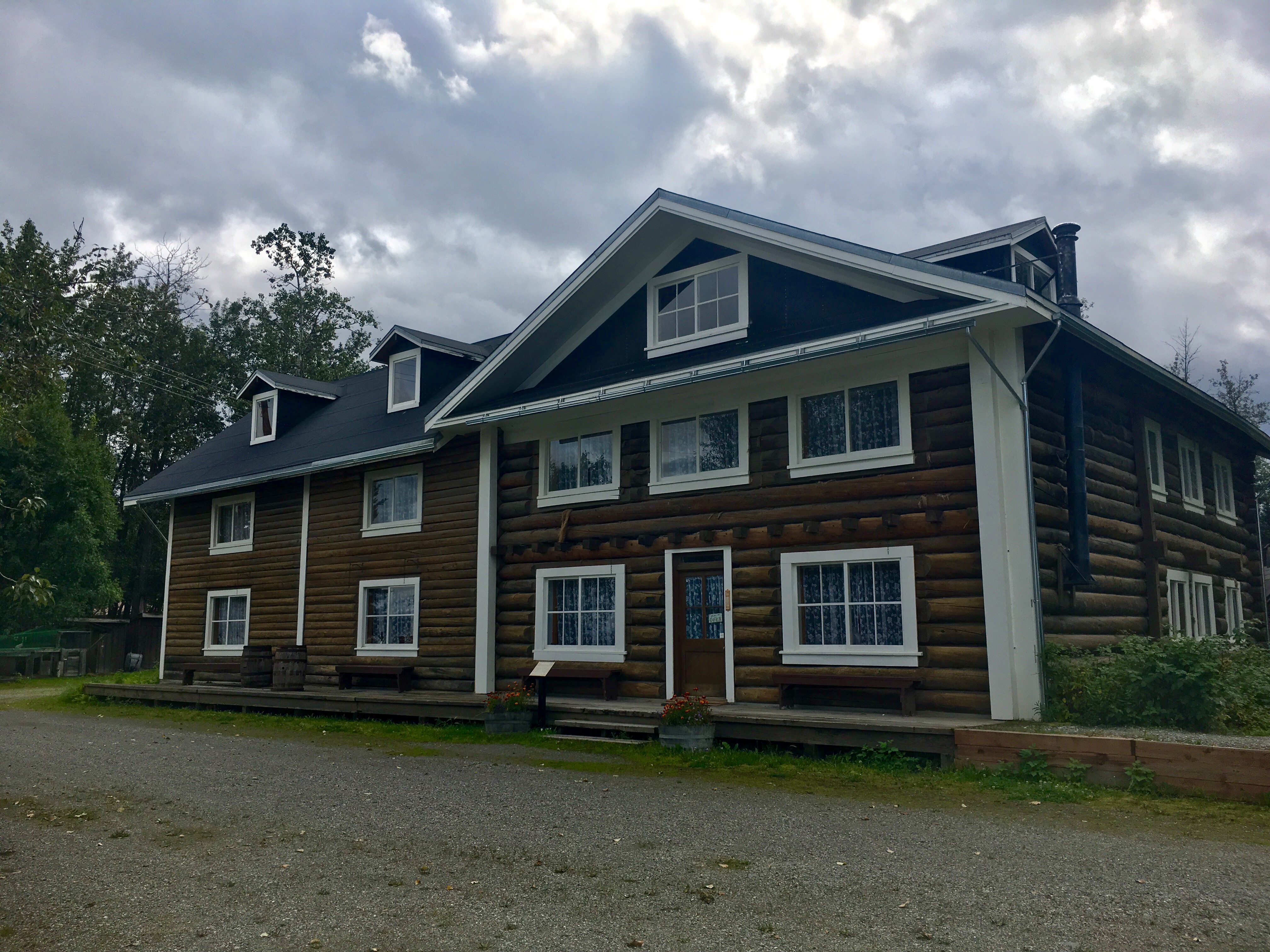
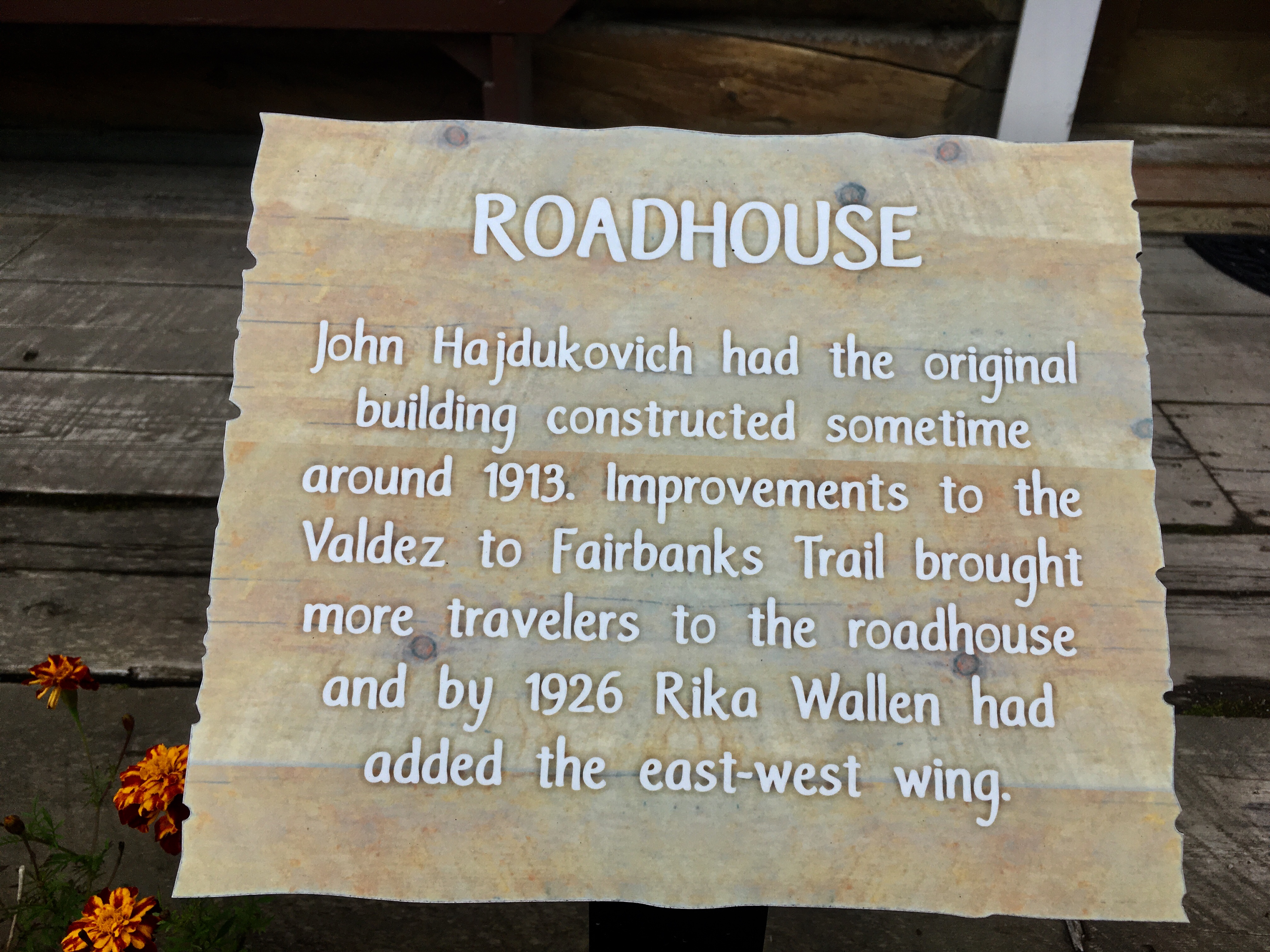
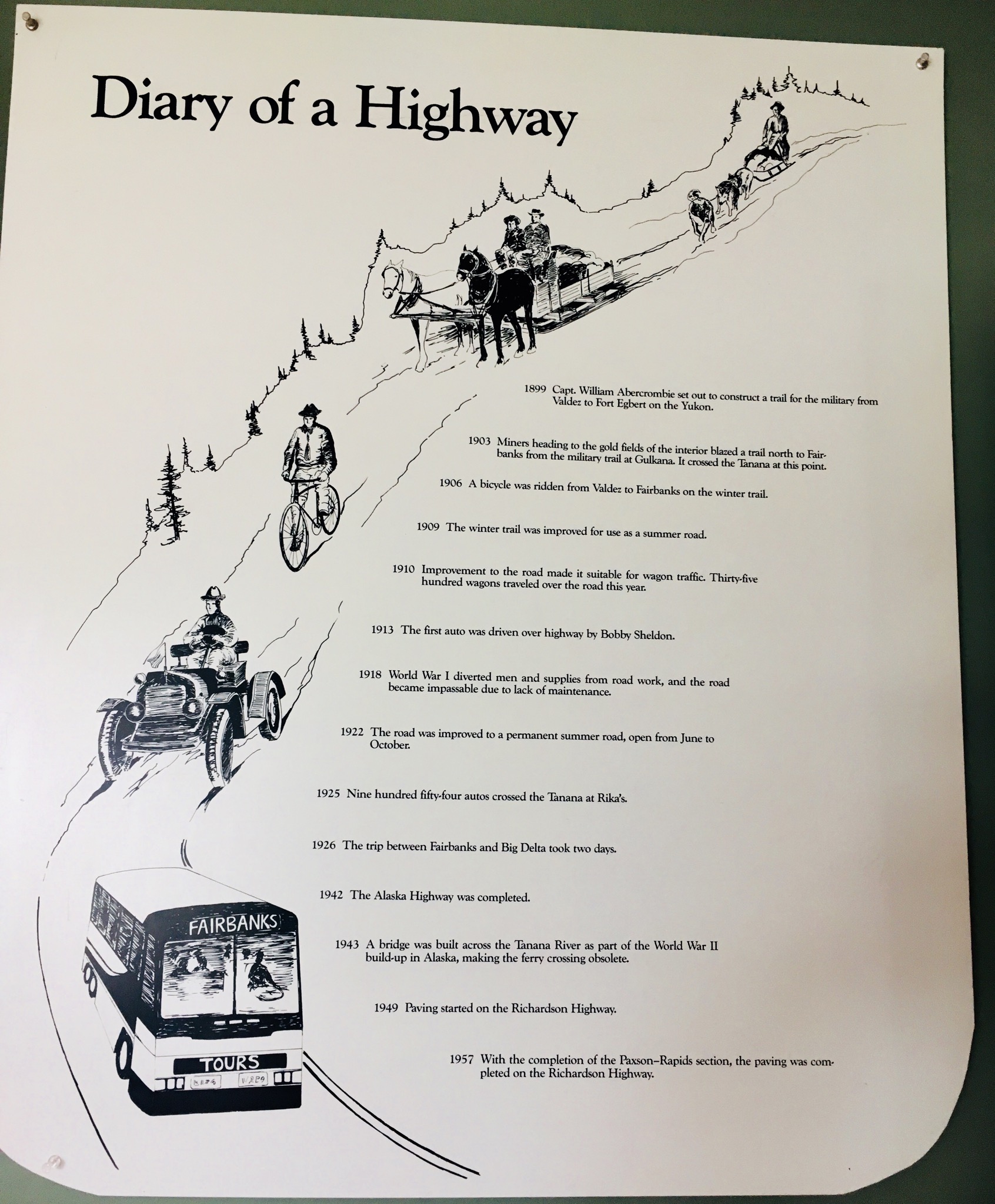
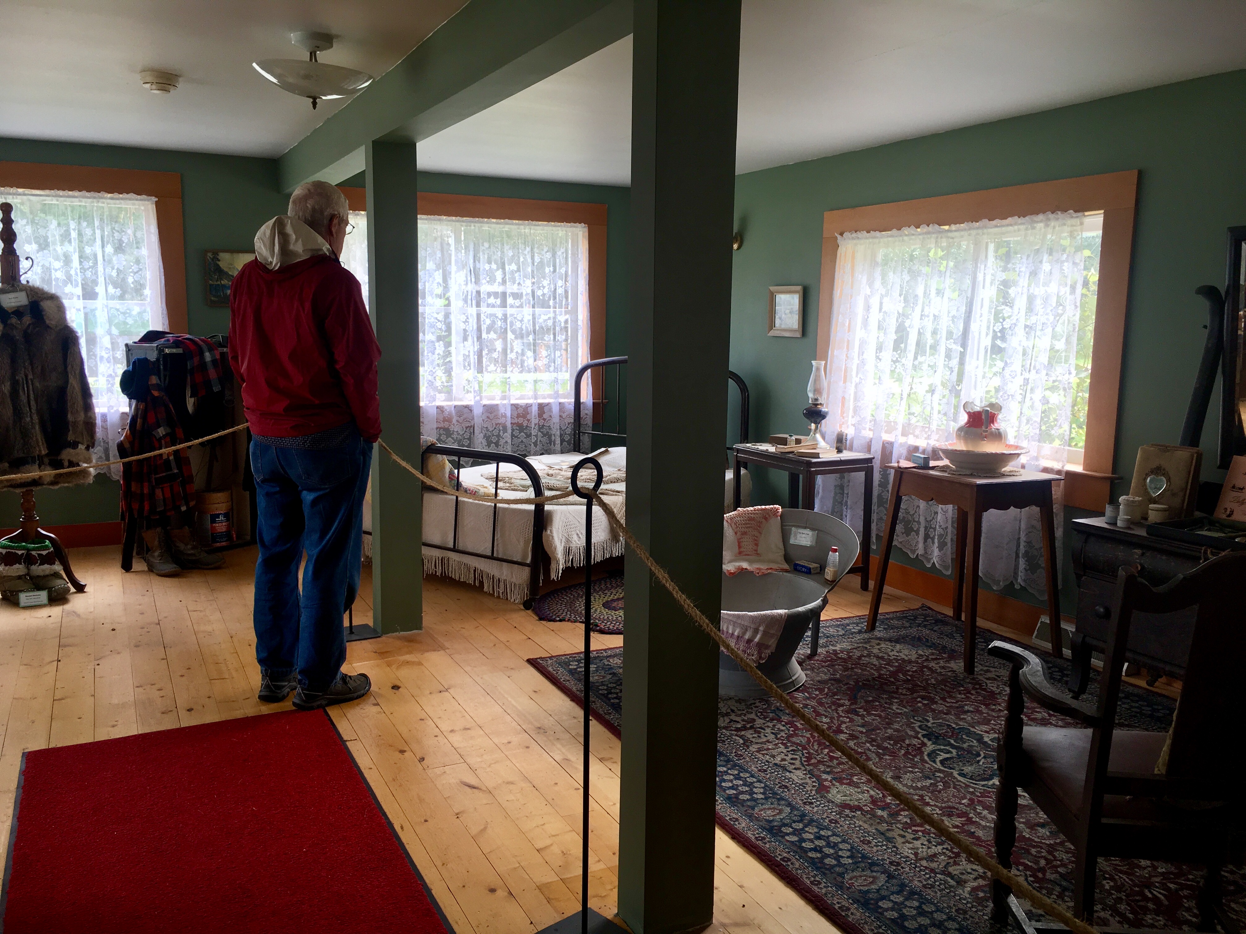
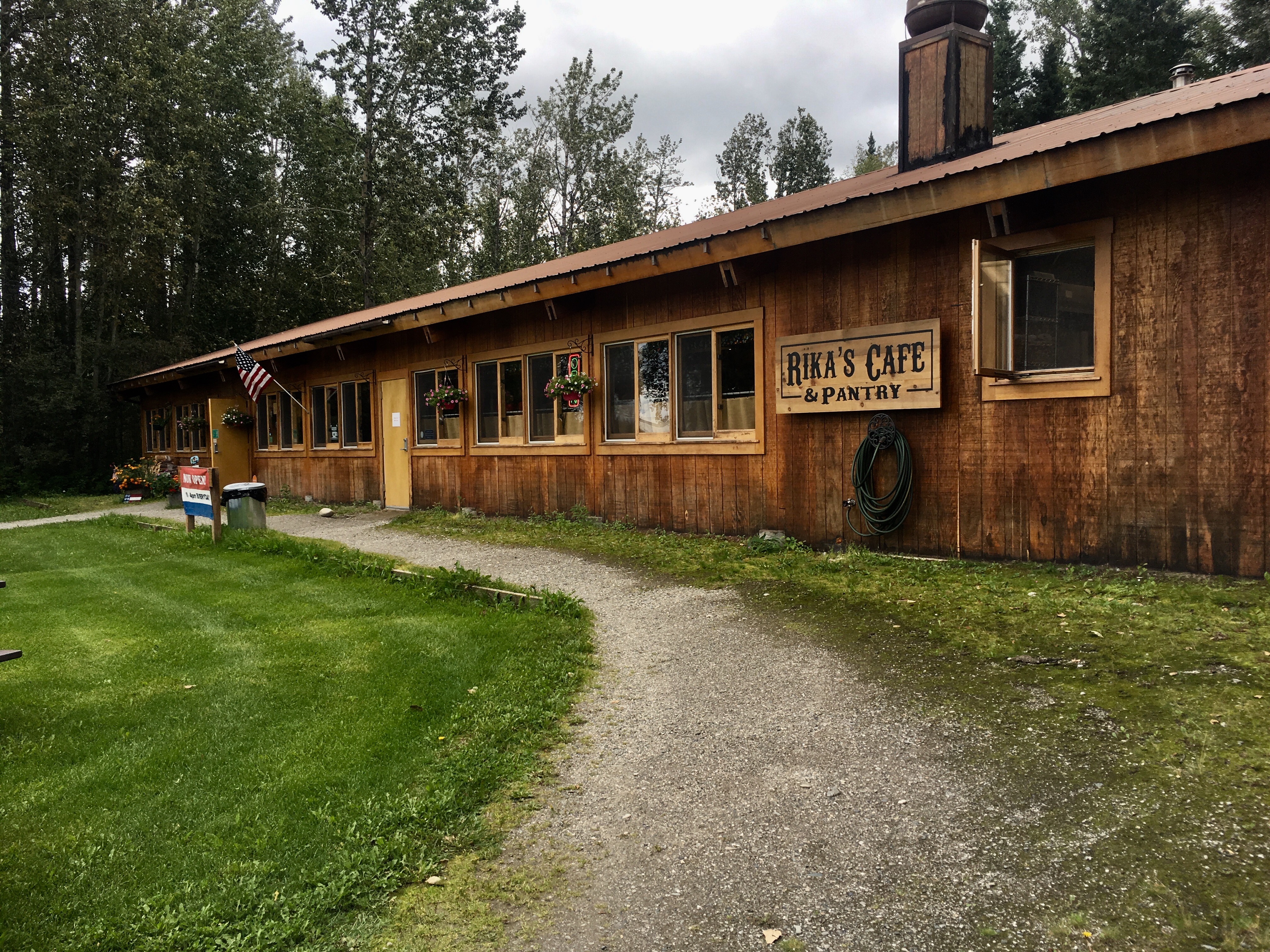
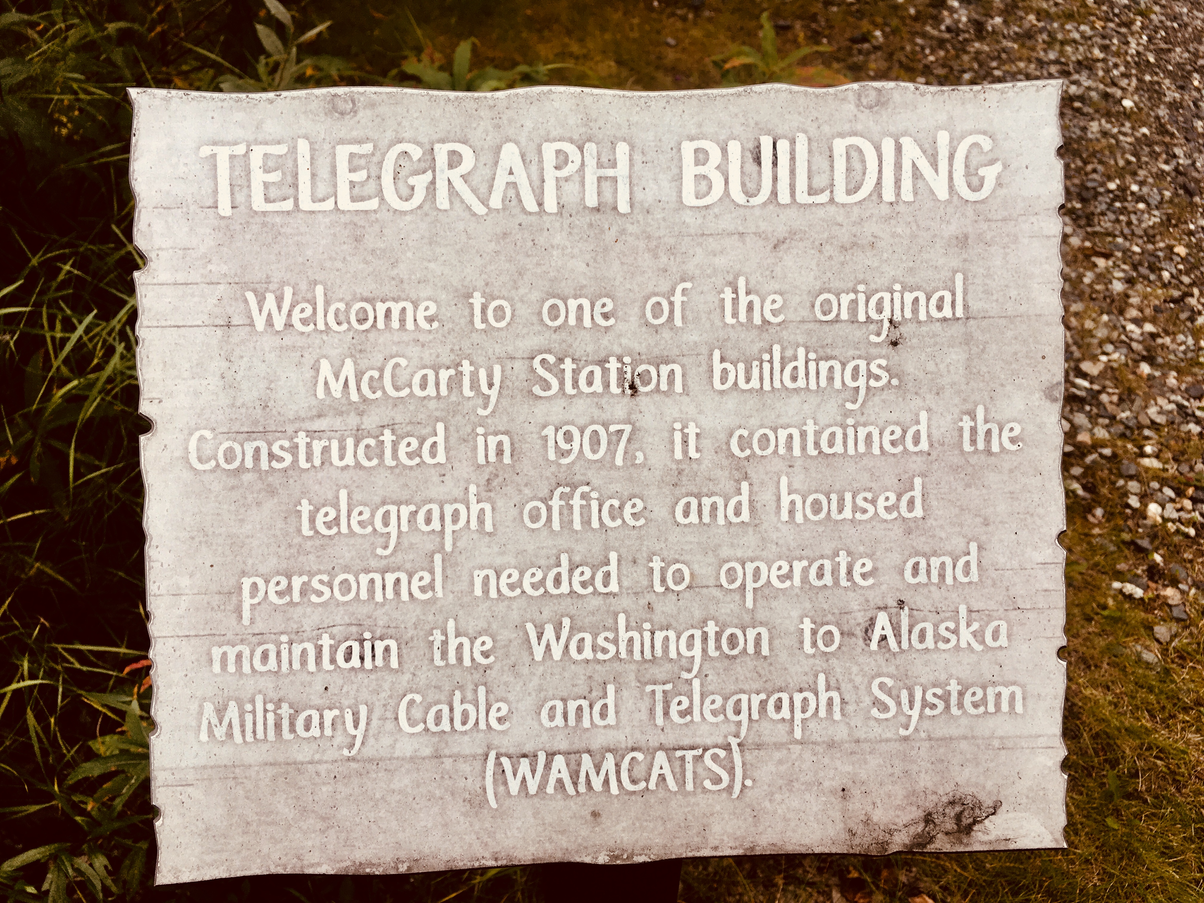
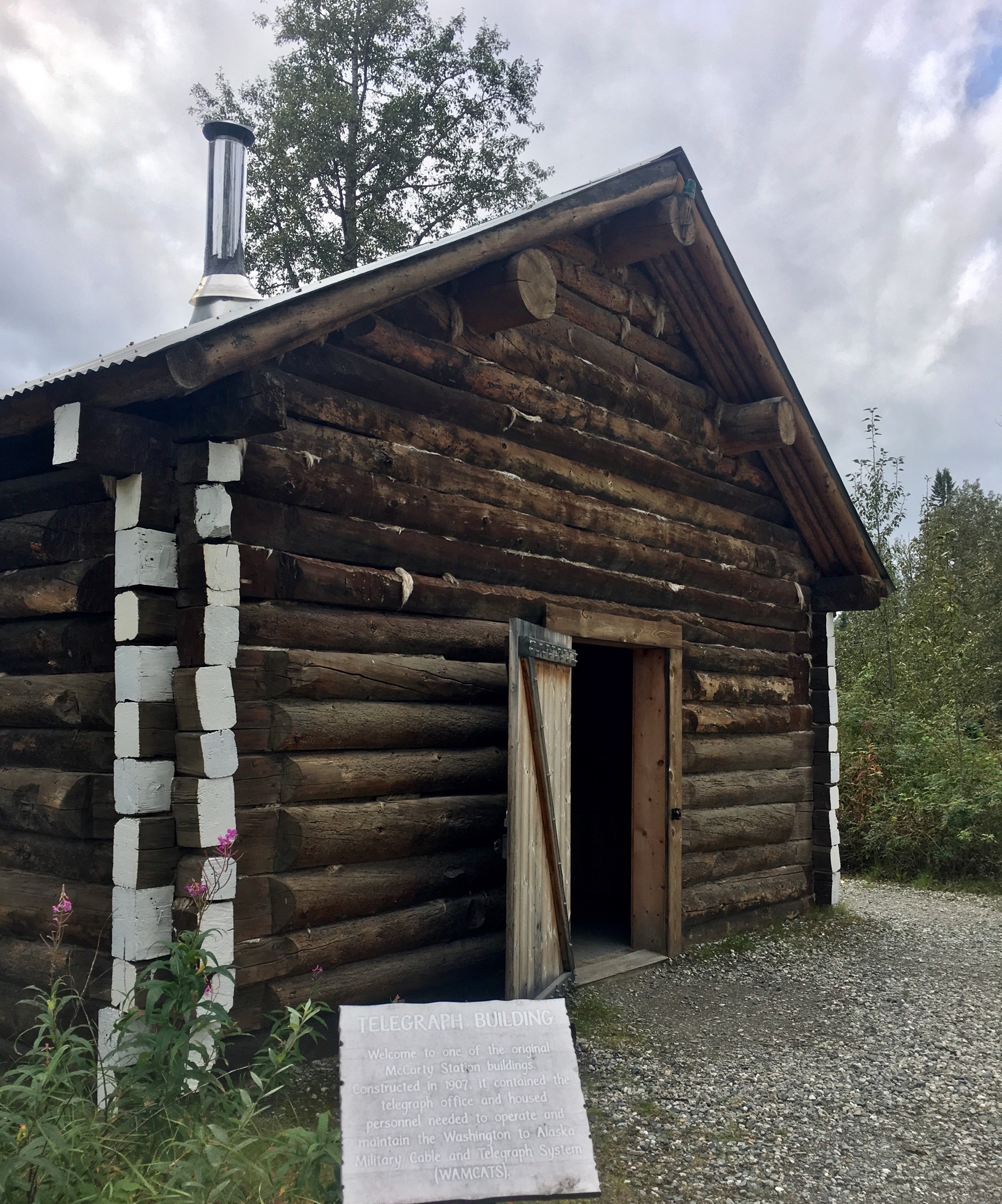
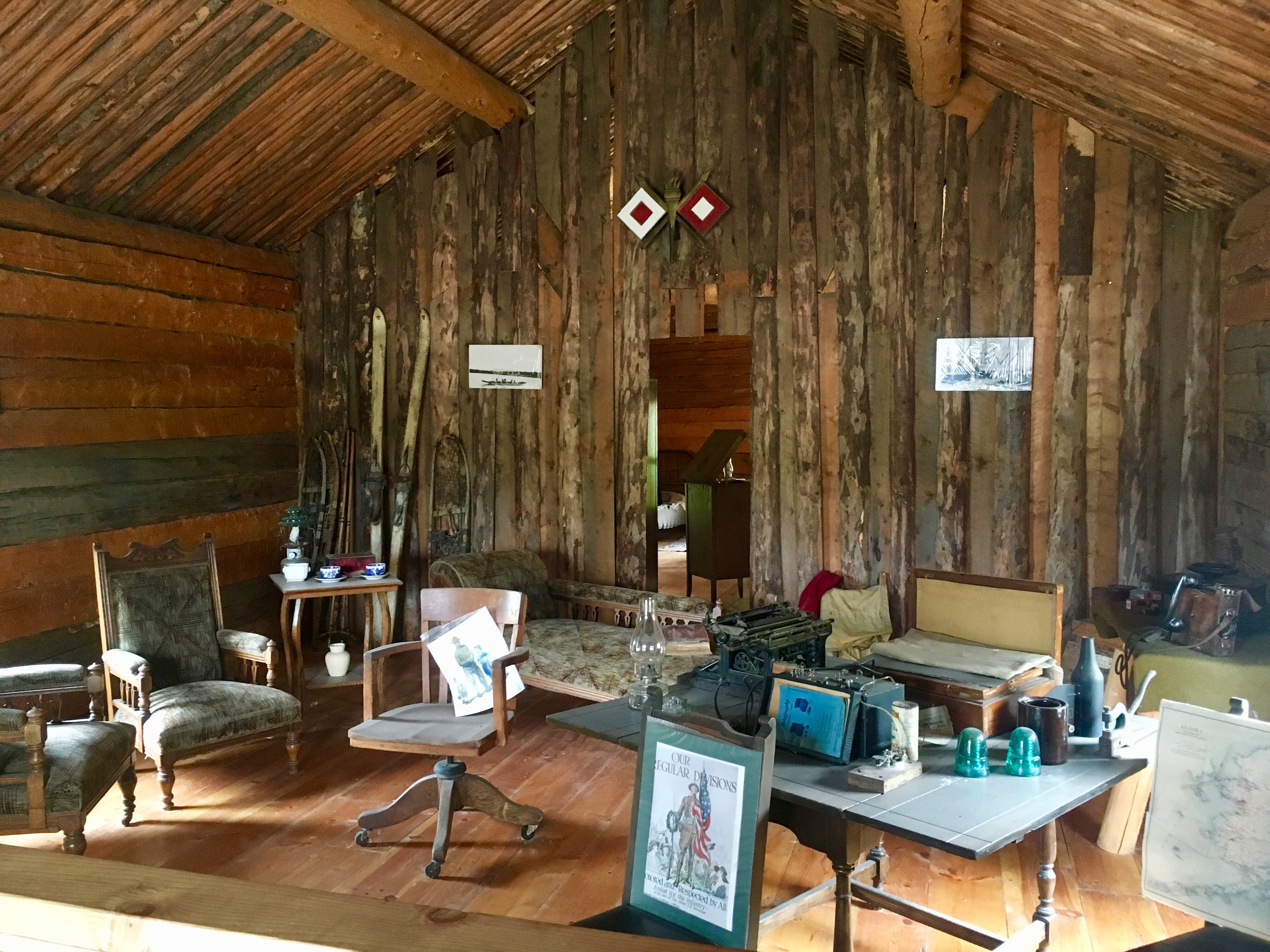
Enroute from Fairbanks to Delta Junction is a place called Rika’s Roadhouse. The roadhouses were a vital part of Alaska’s infrastructure. They were built about every 20 or 30 miles – about a days travel by foot. The roadhouses were places to eat, stay, and get warm while passing the news with other travelers.
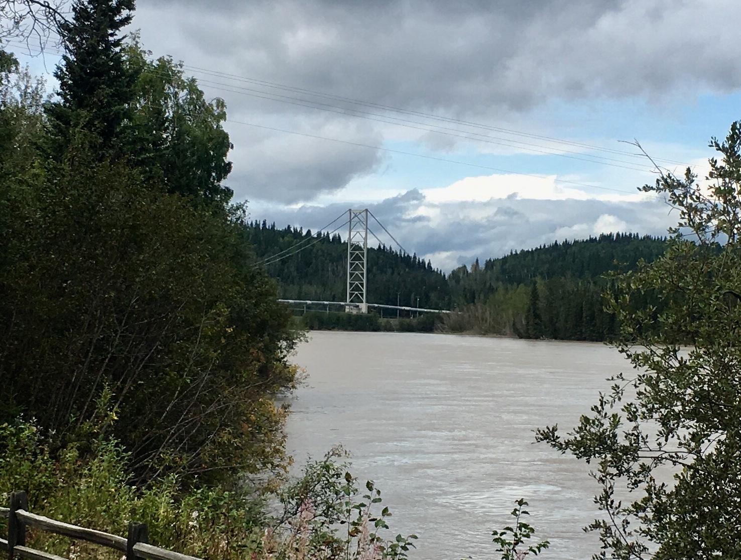
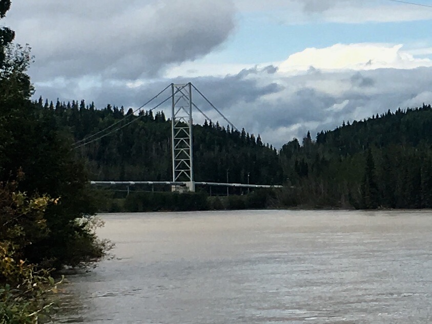
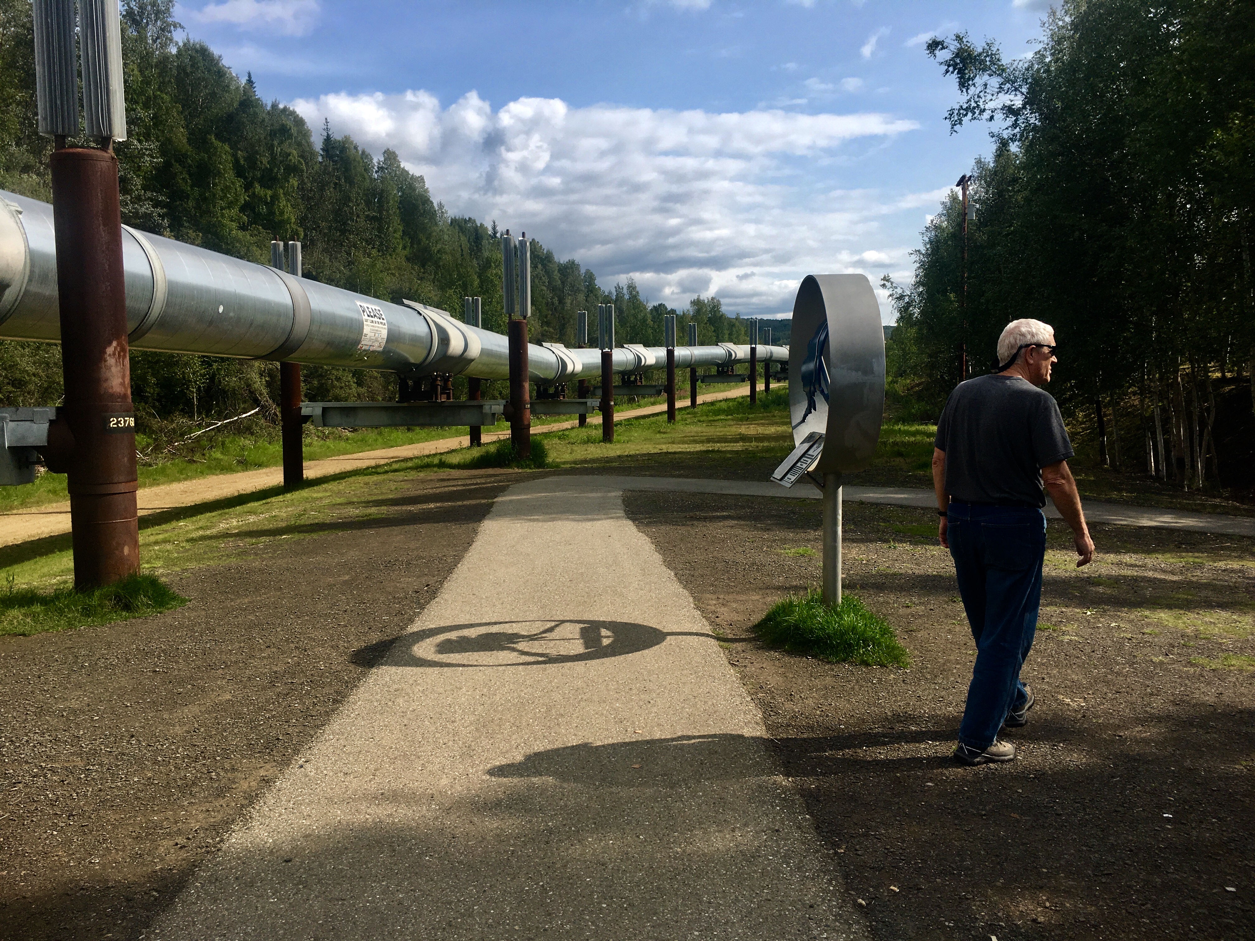
Salcha River AK is the site of a ferry crossing before the bridge was built. Ongoing battles between government toll collectors and independent minded Alaskan travelers escalated when travelers commandeered the ferry, holding the toll collectors at gunpoint. The trans-alaska pipeline also crosses the river near this point.
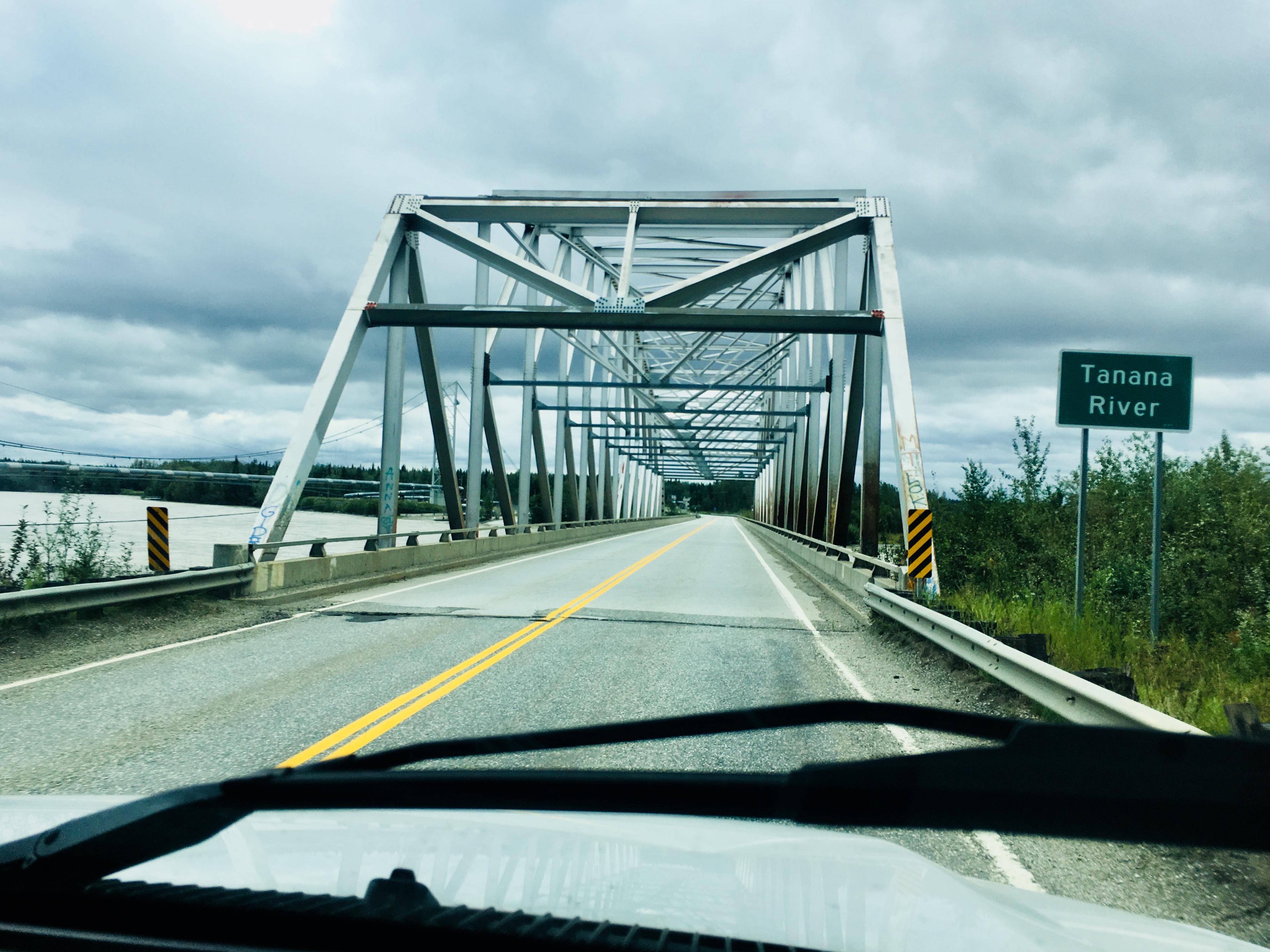
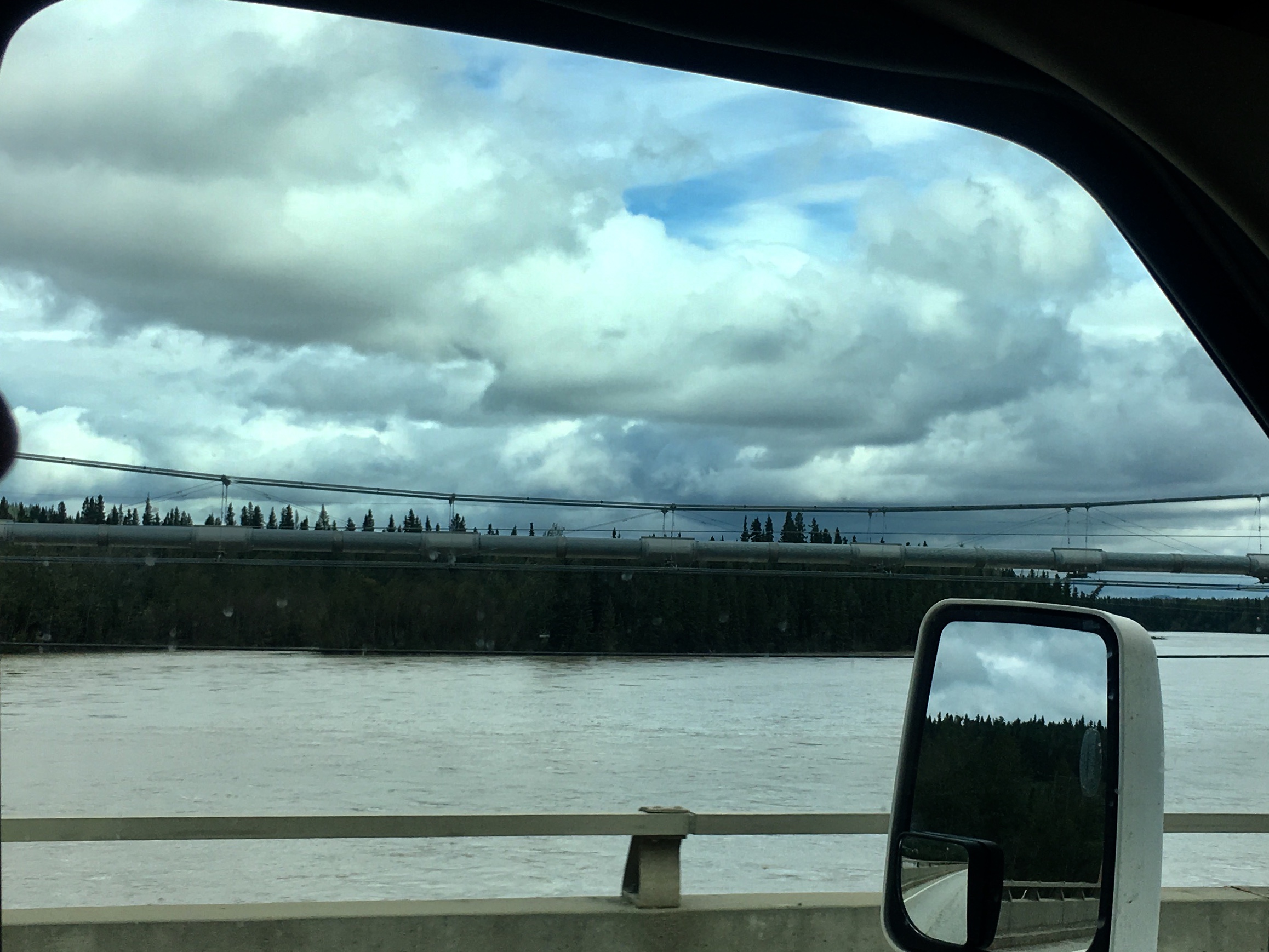
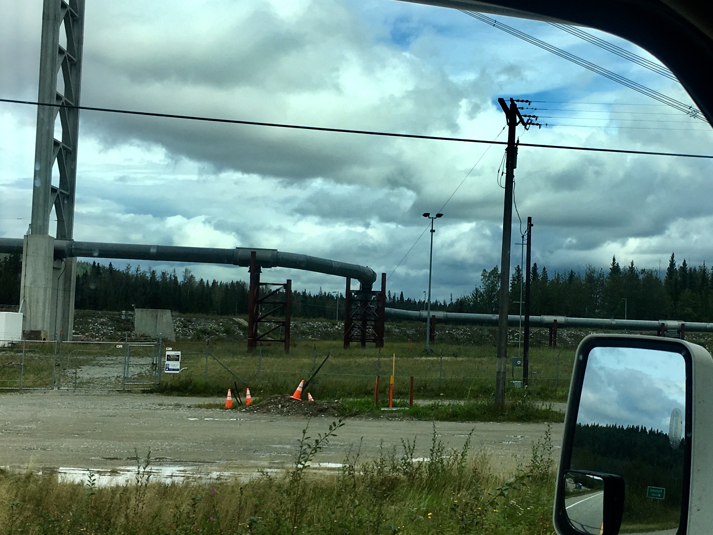
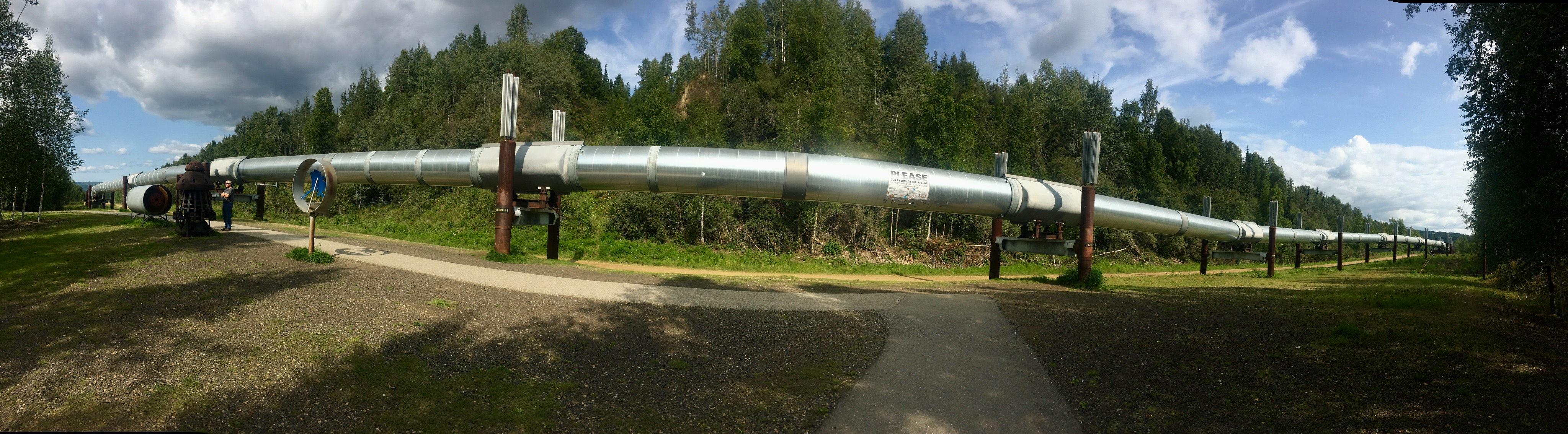
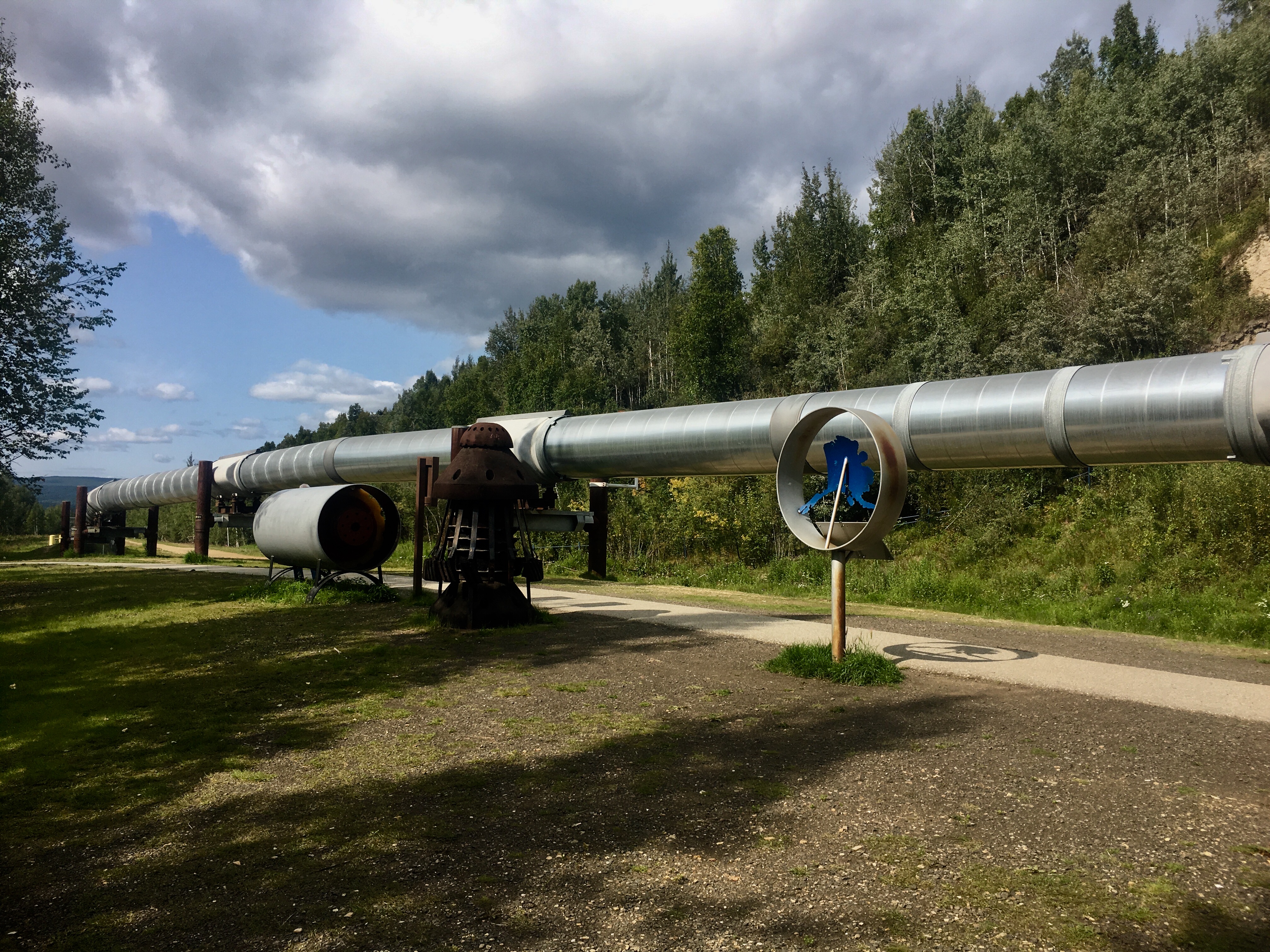
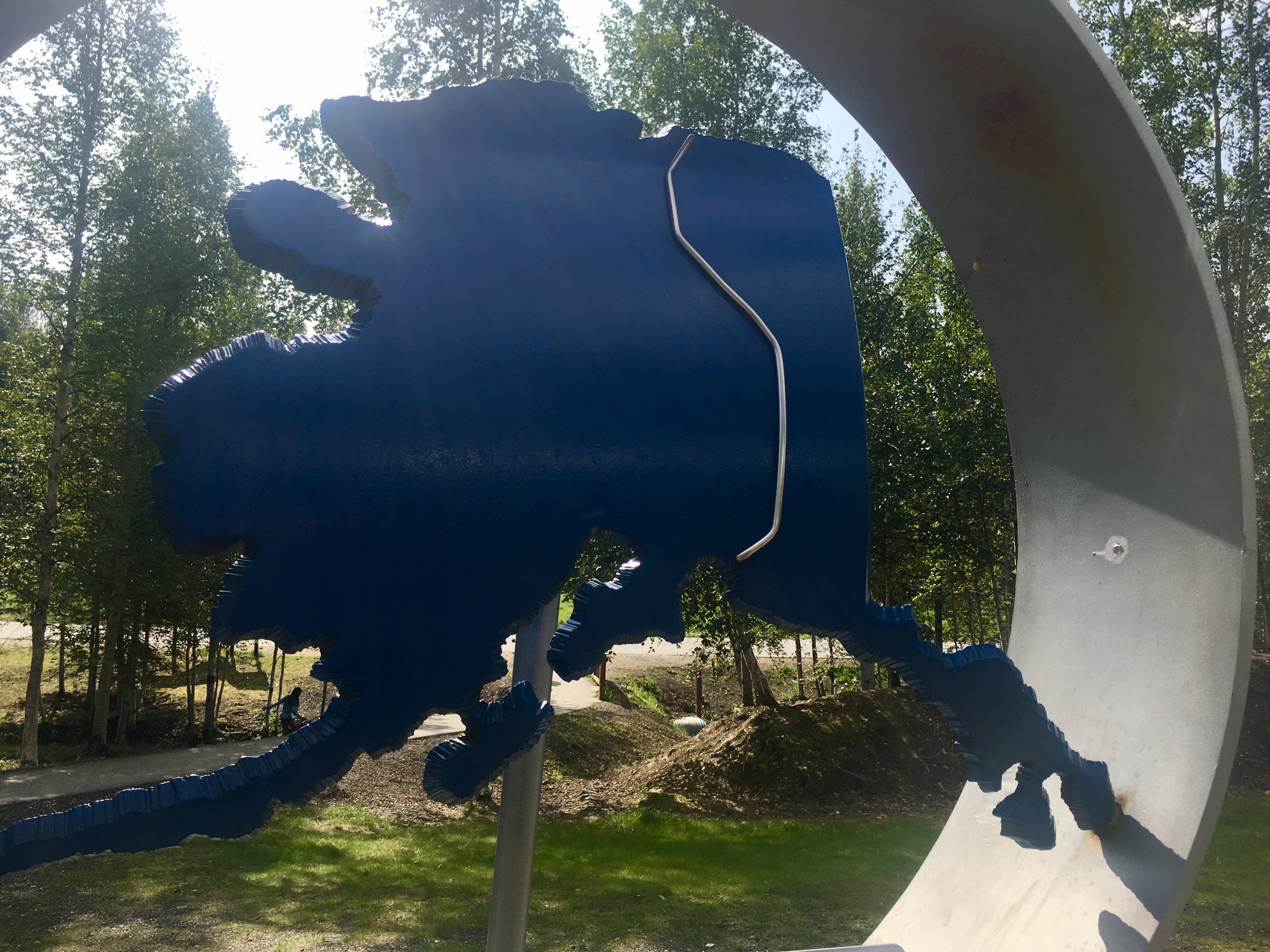
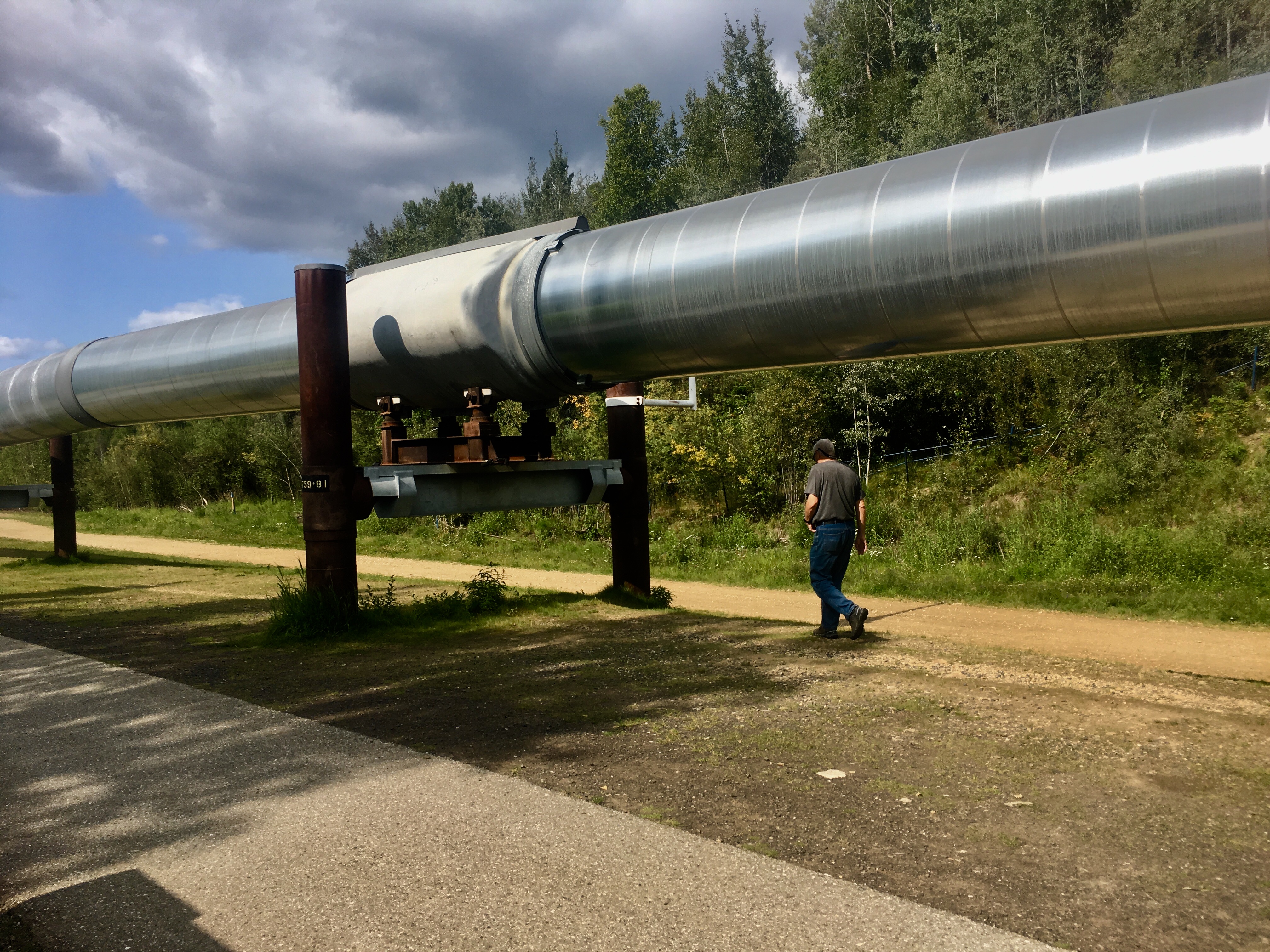
The pipeline also crosses the Tanana river here. The bends ad twists in the pipeline are intentional, both to control the pressures of the oil, and to mitigate the impact of earthquakes by allowing the pipeline room to flex as needed.
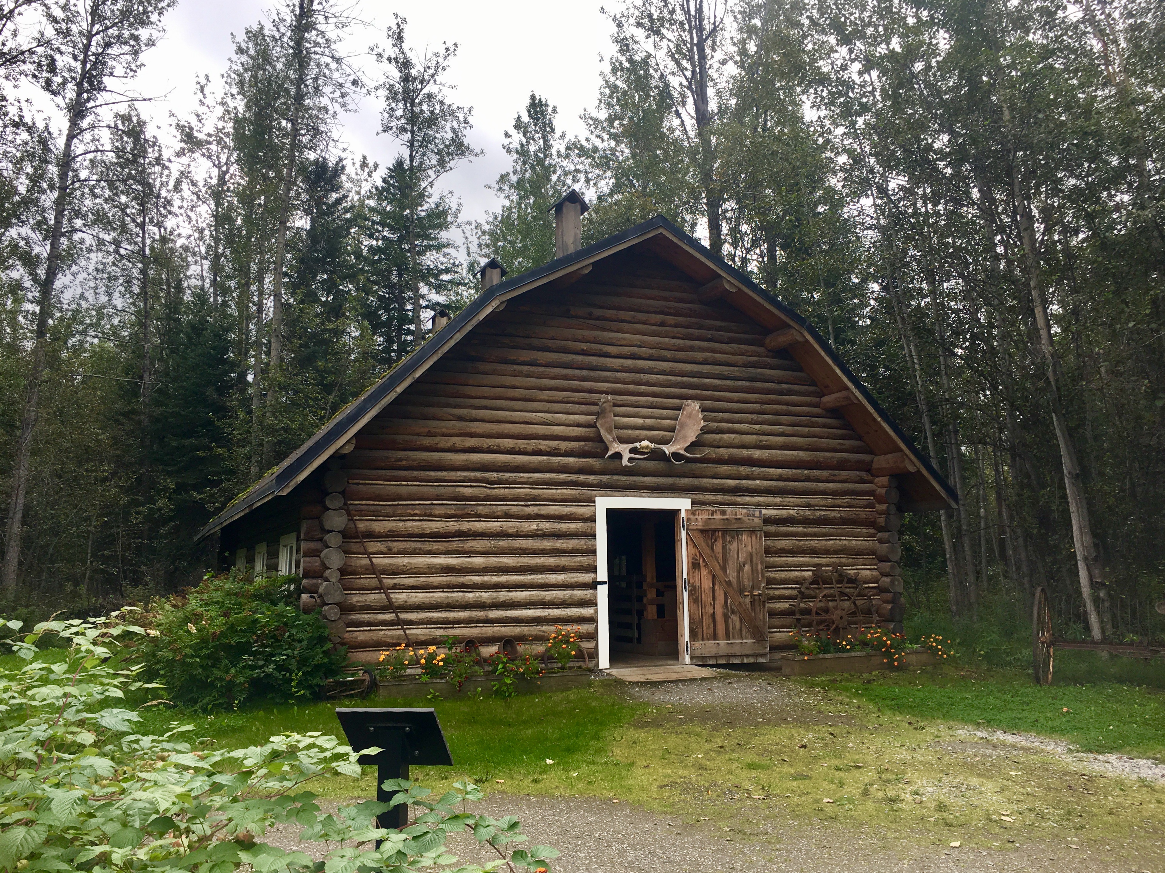
All the old buildings have been kept and restored.
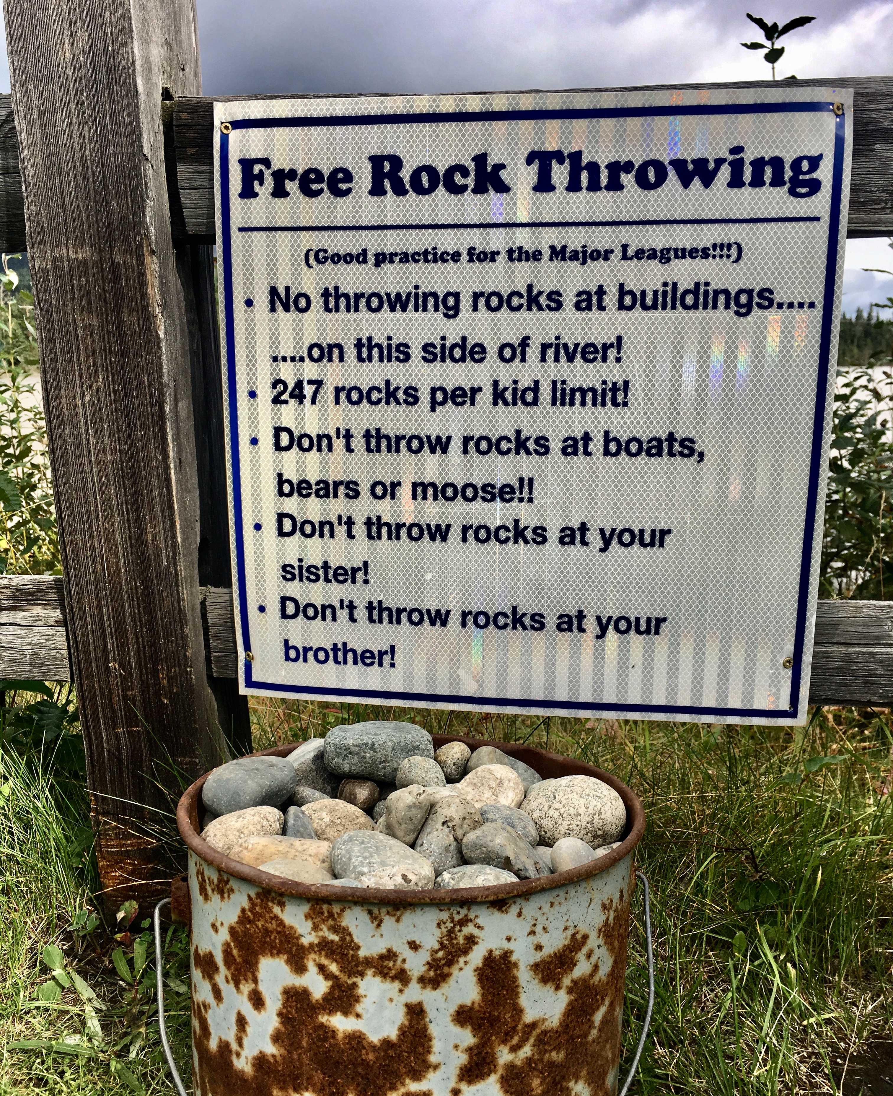
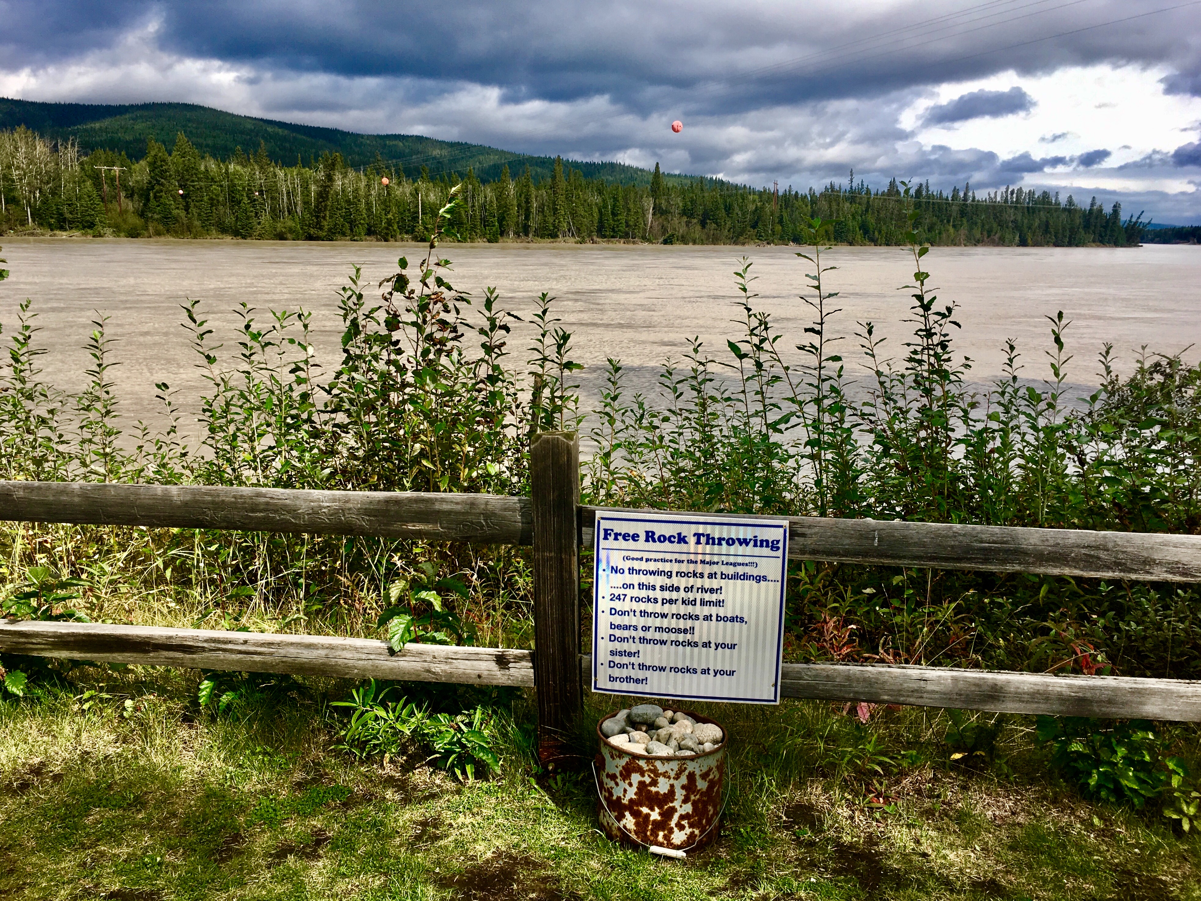
What a great sense of humor!
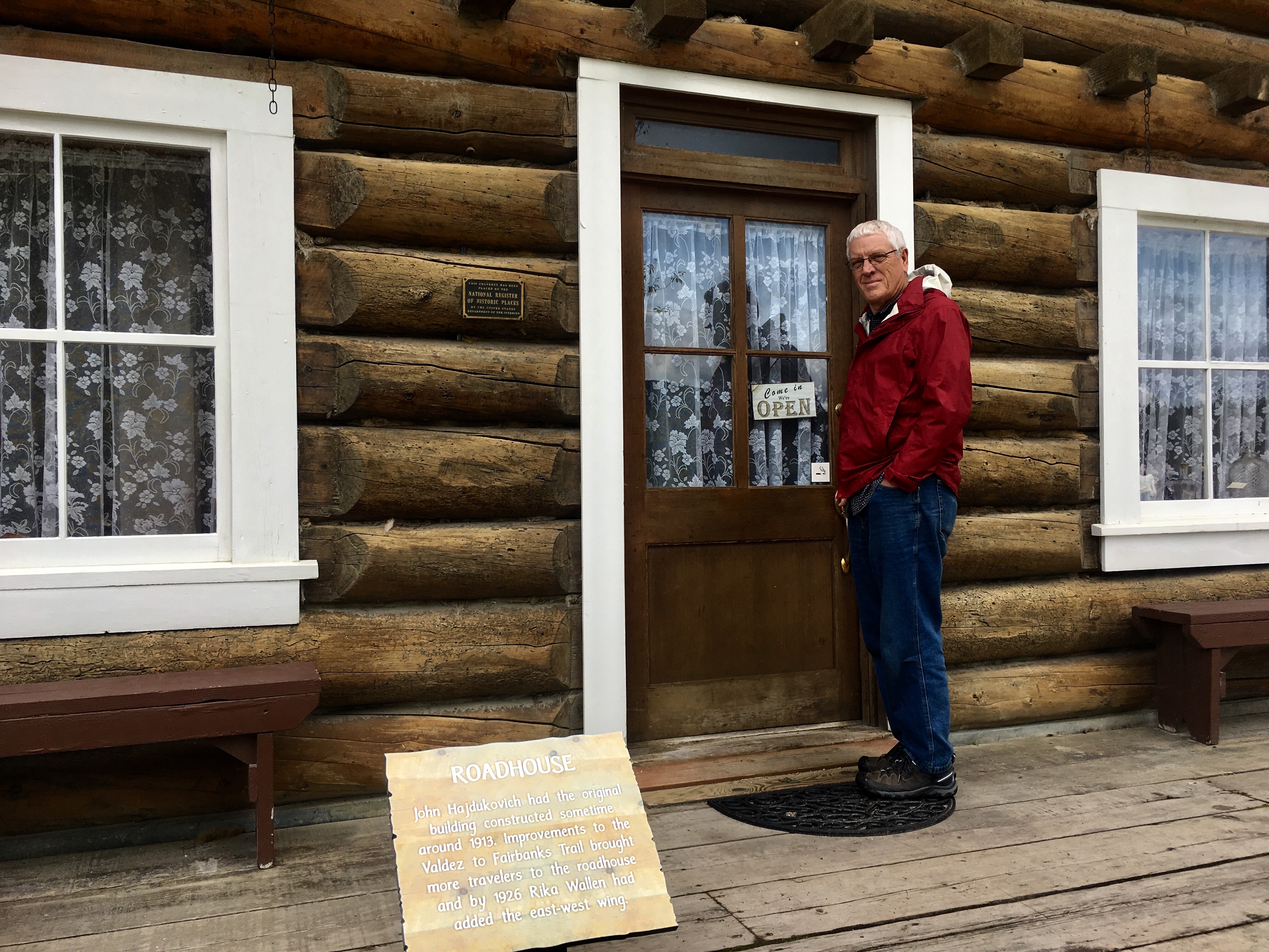
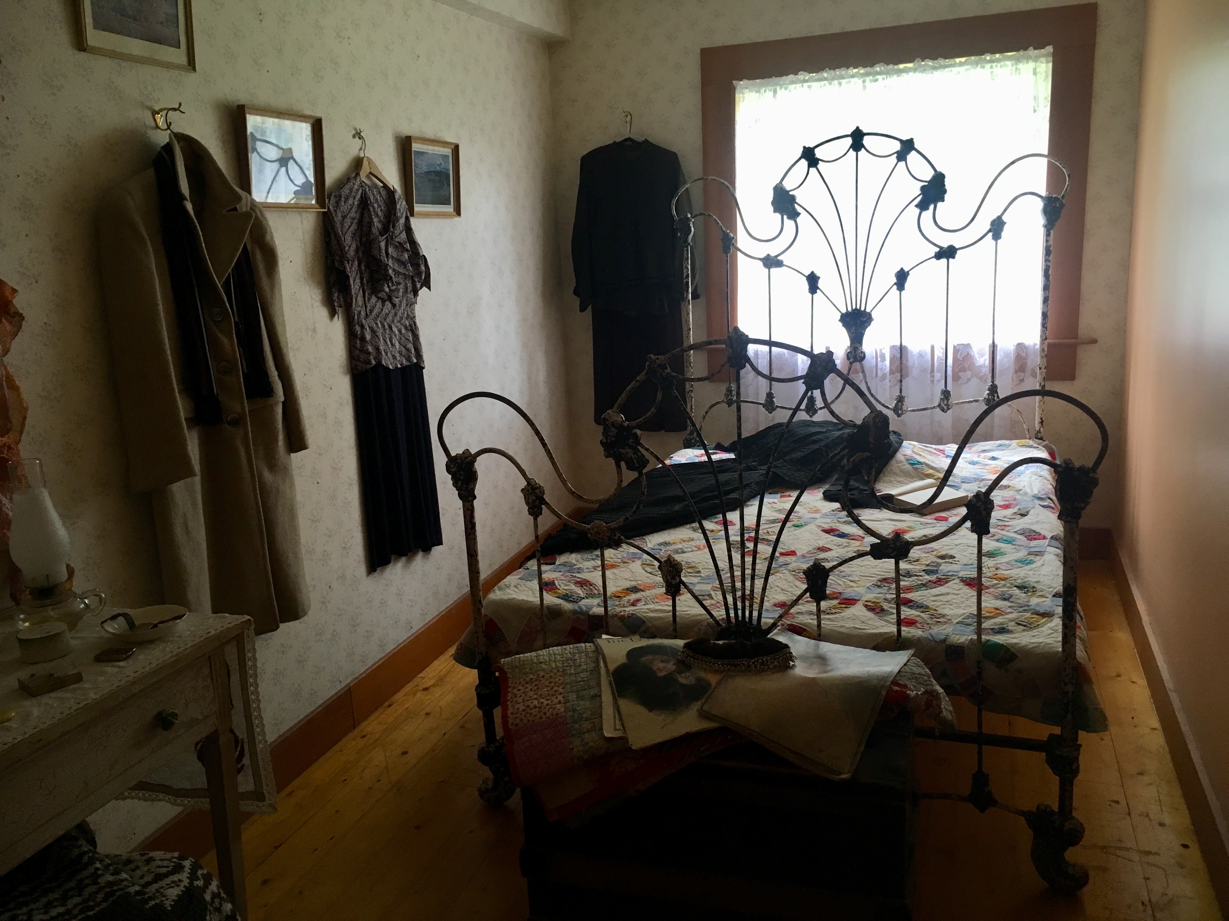
The interior furnishings are all original.
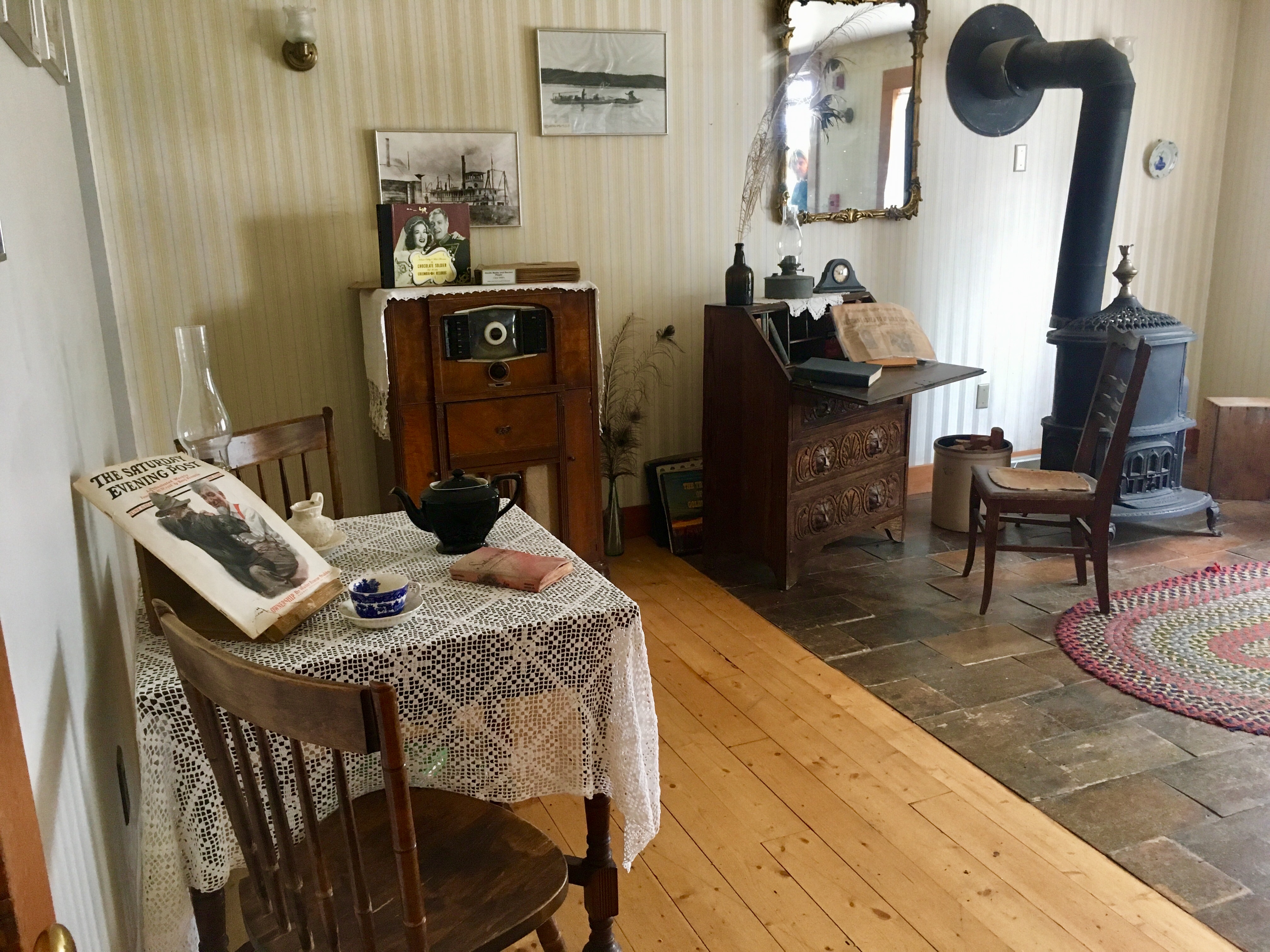
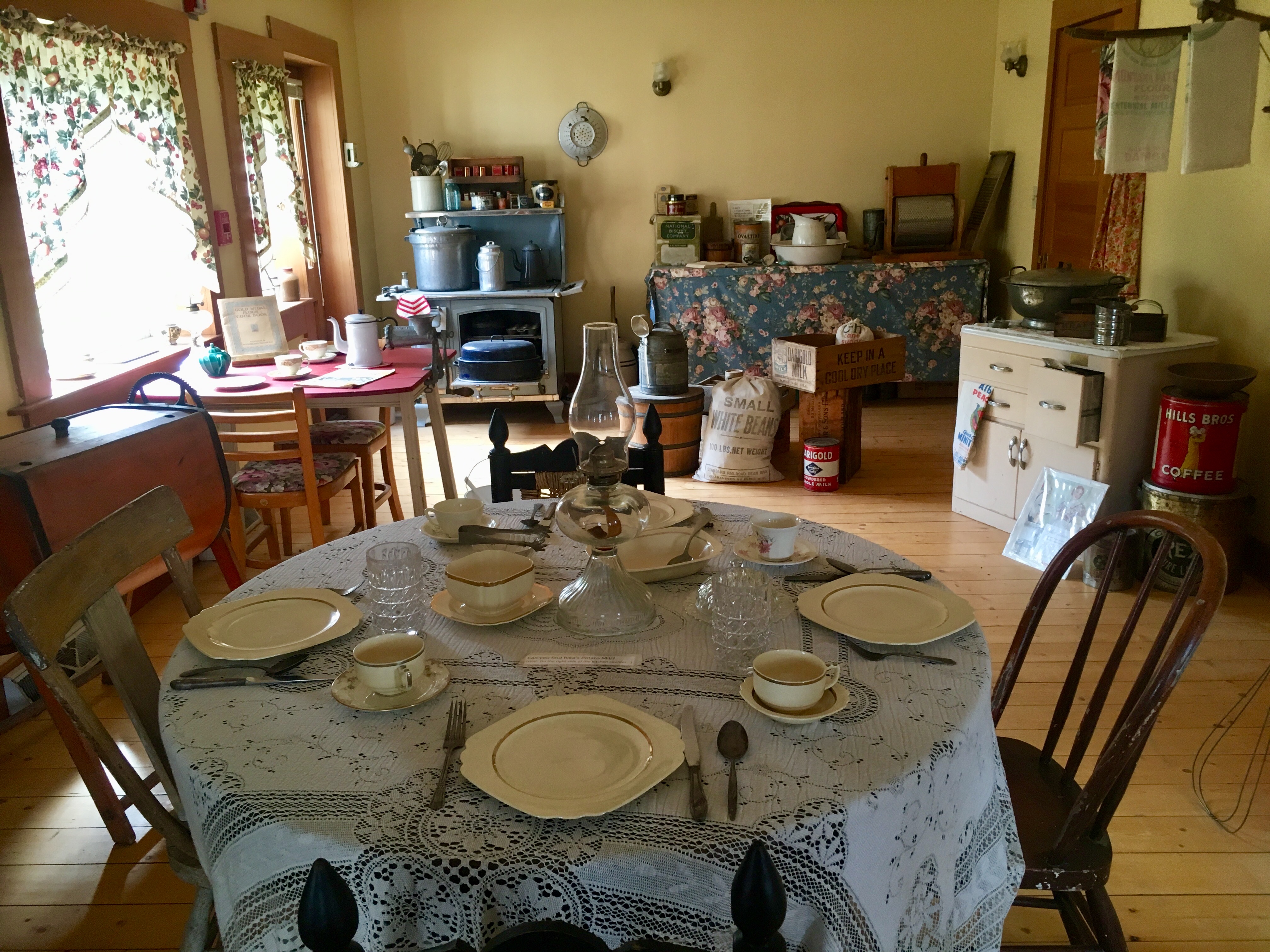
It’s fun to imagine travelers sitting down to a meal in the roadhouse!
Progress!

We loved the sense of humor about bears!
Rustic.
But if not…
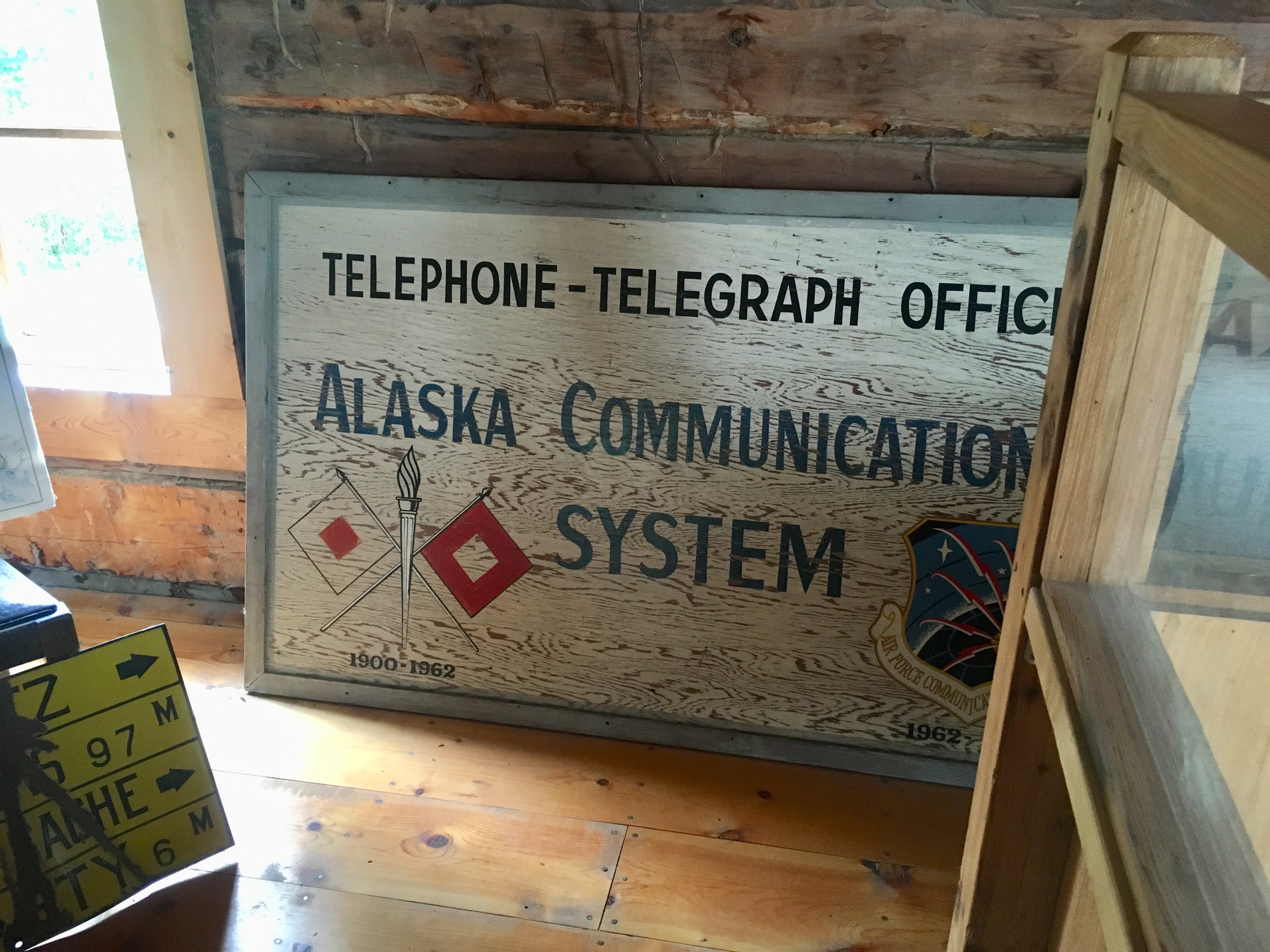
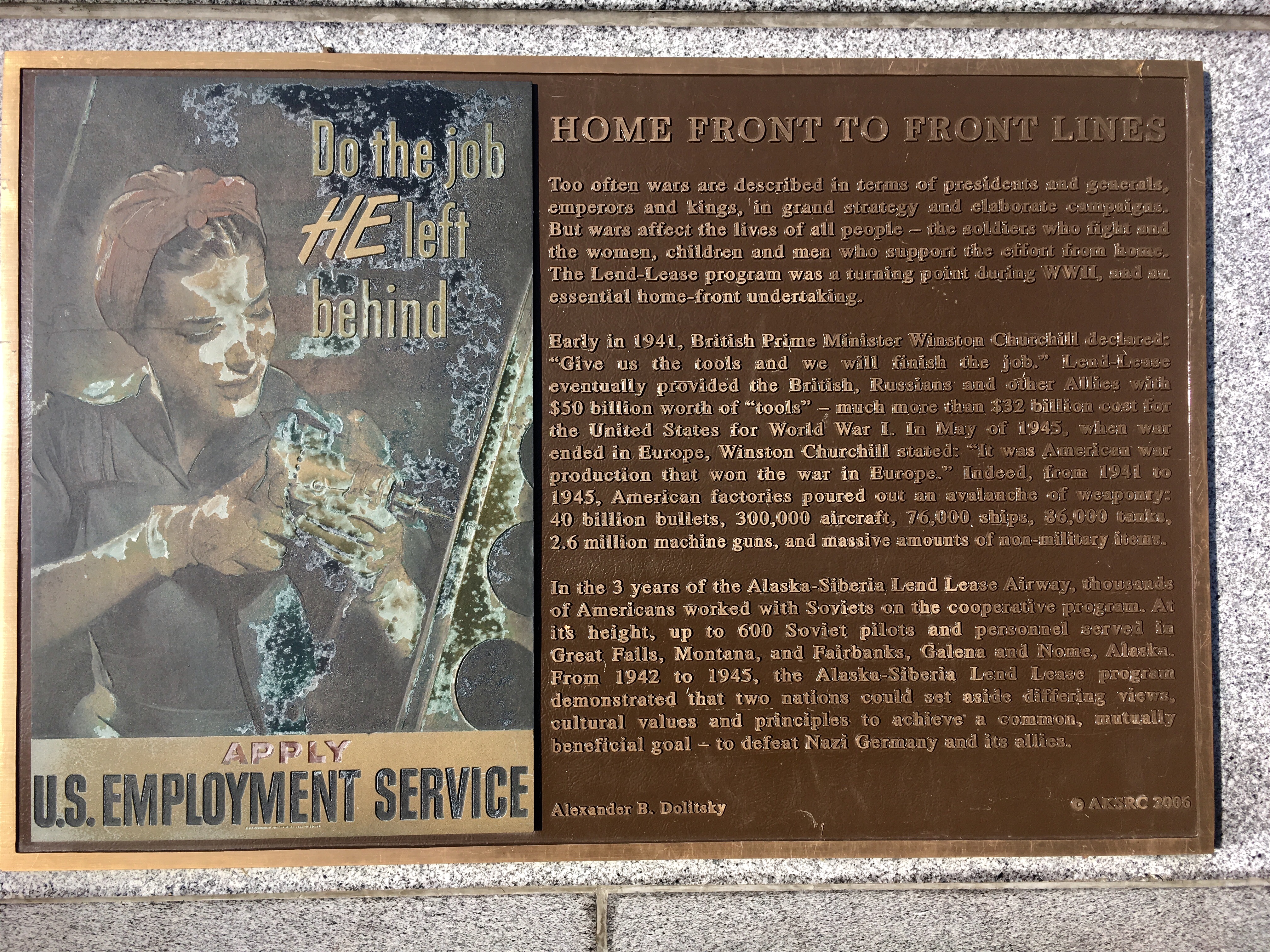
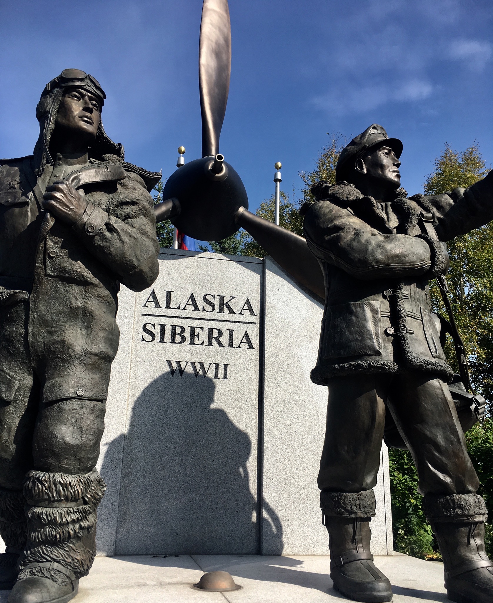
Fairbanks AK-Pipeline, Yukon Quest, Russian/US history
There’s a lot of history in Alaska, besides all the gold rush stuff. There’s the new gold (oil and the pipeline), Russia and the modes of transportation (dog-sledding).
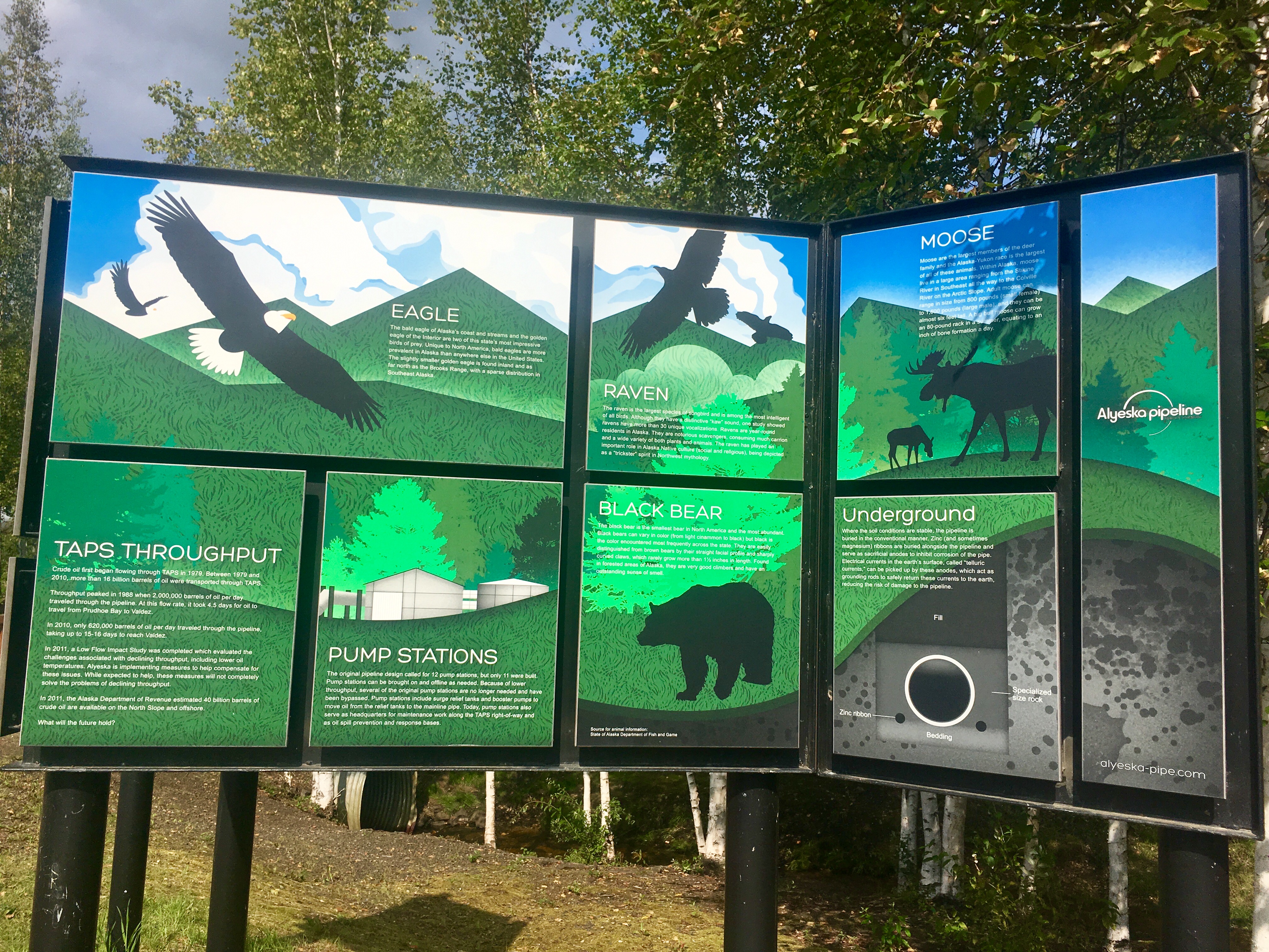
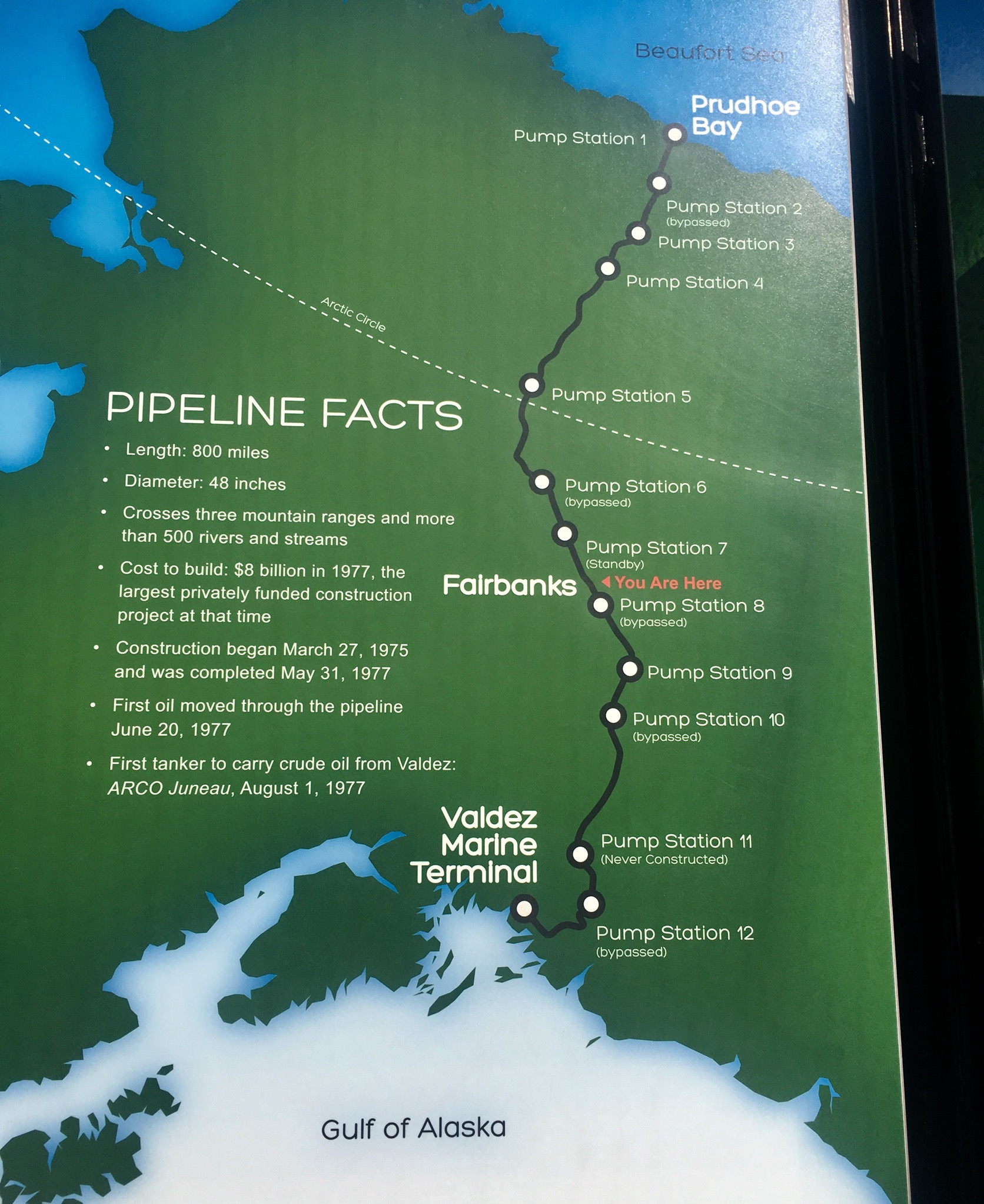
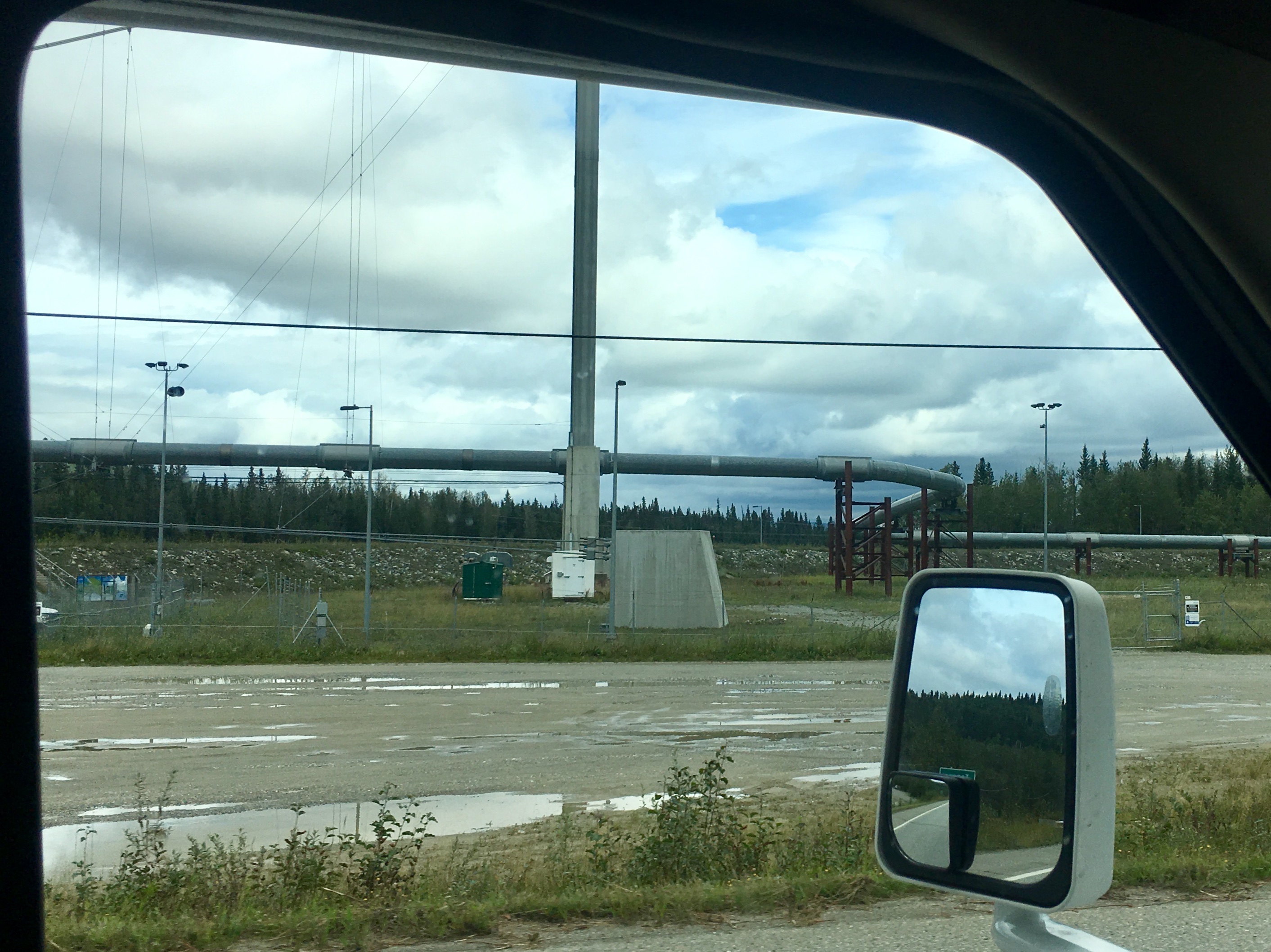
The pipeline is an engineering marvel. It turns out that one of the key aspects of building the pipeline was to ensure that the oil flowing through the pipe didn’t heat up the ground too much and melt the permanent-frost. We saw lots of examples of building that sank into the ground when the permafrost melted so it was a real concern. Much of the pipeline is above ground, some underground. But the decision was usually based on the state of permafrost.

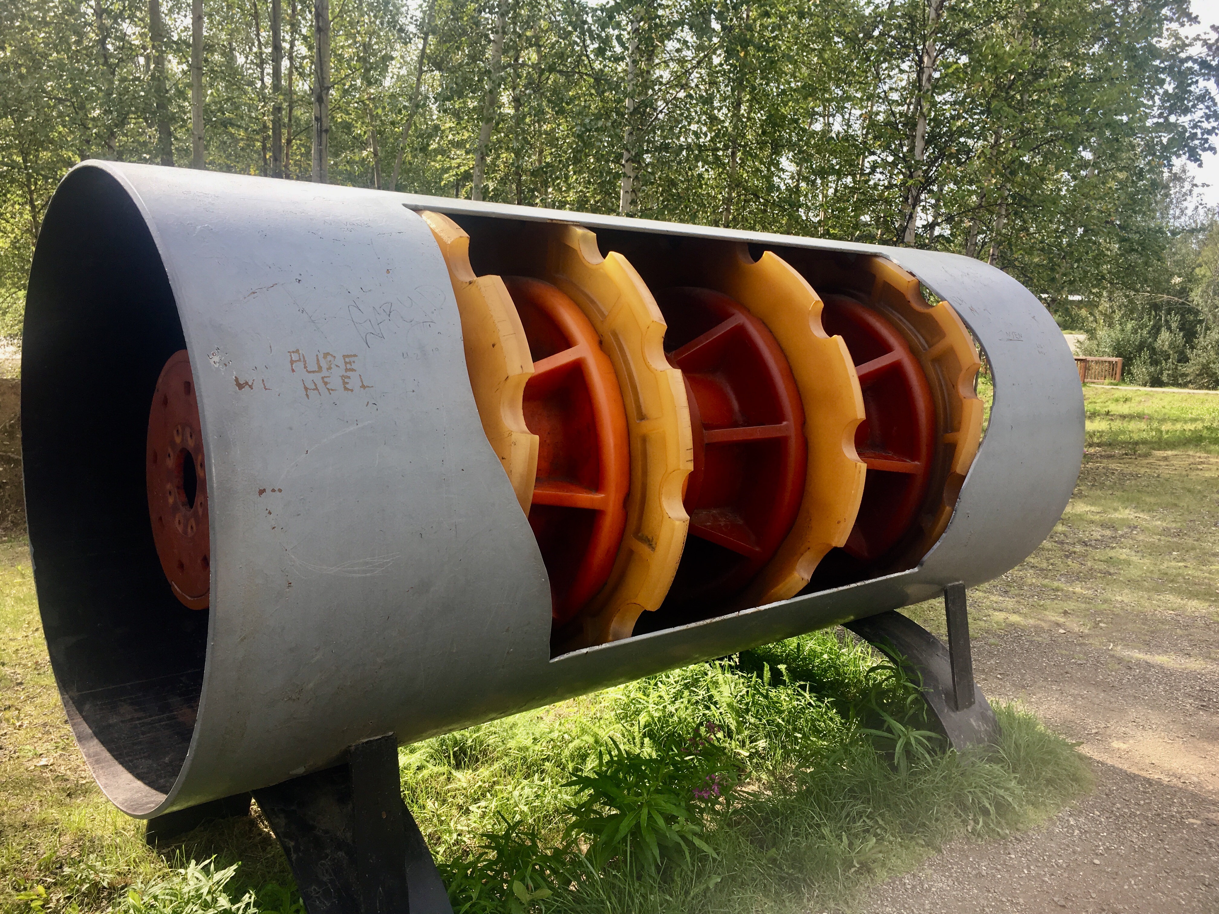
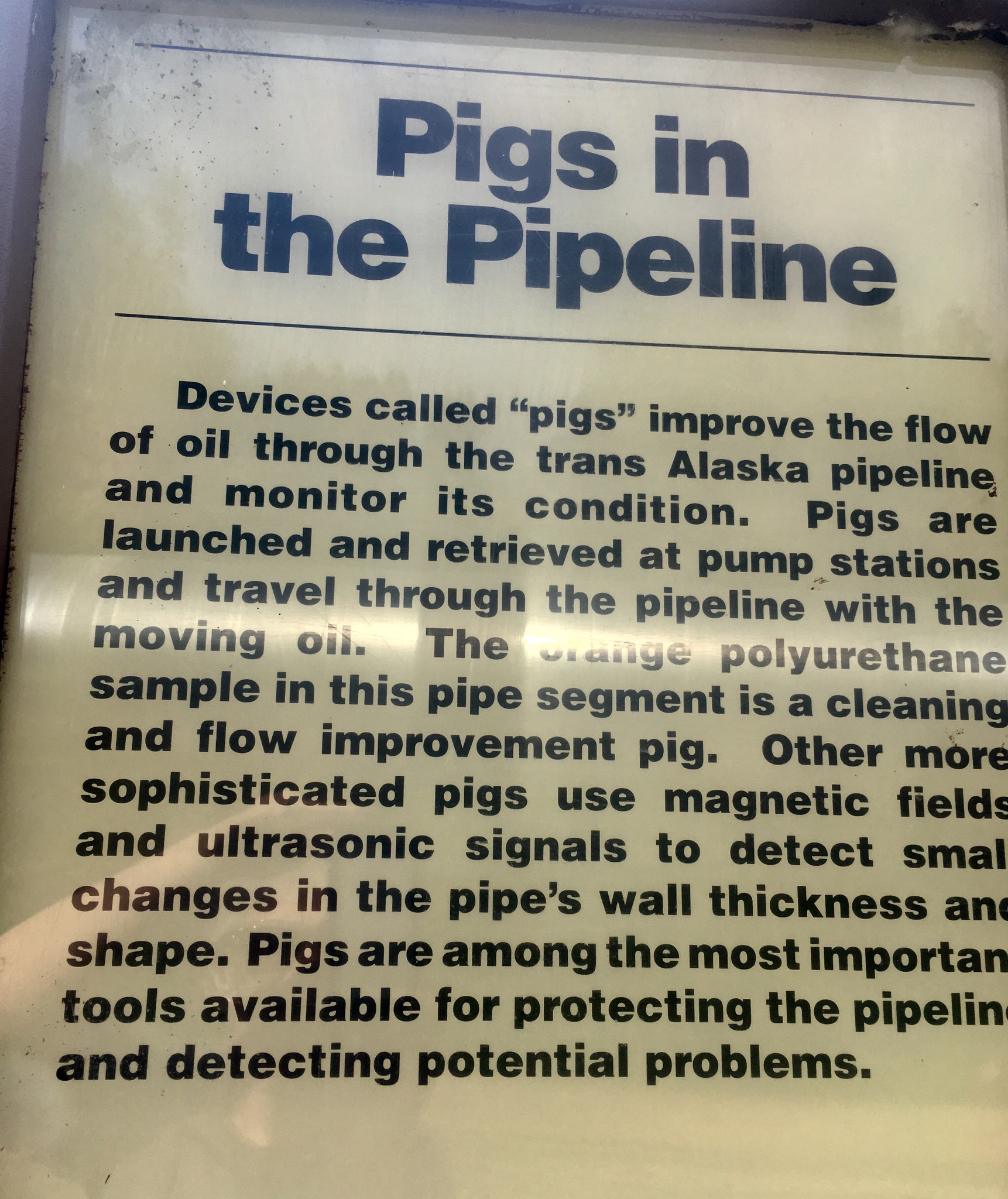
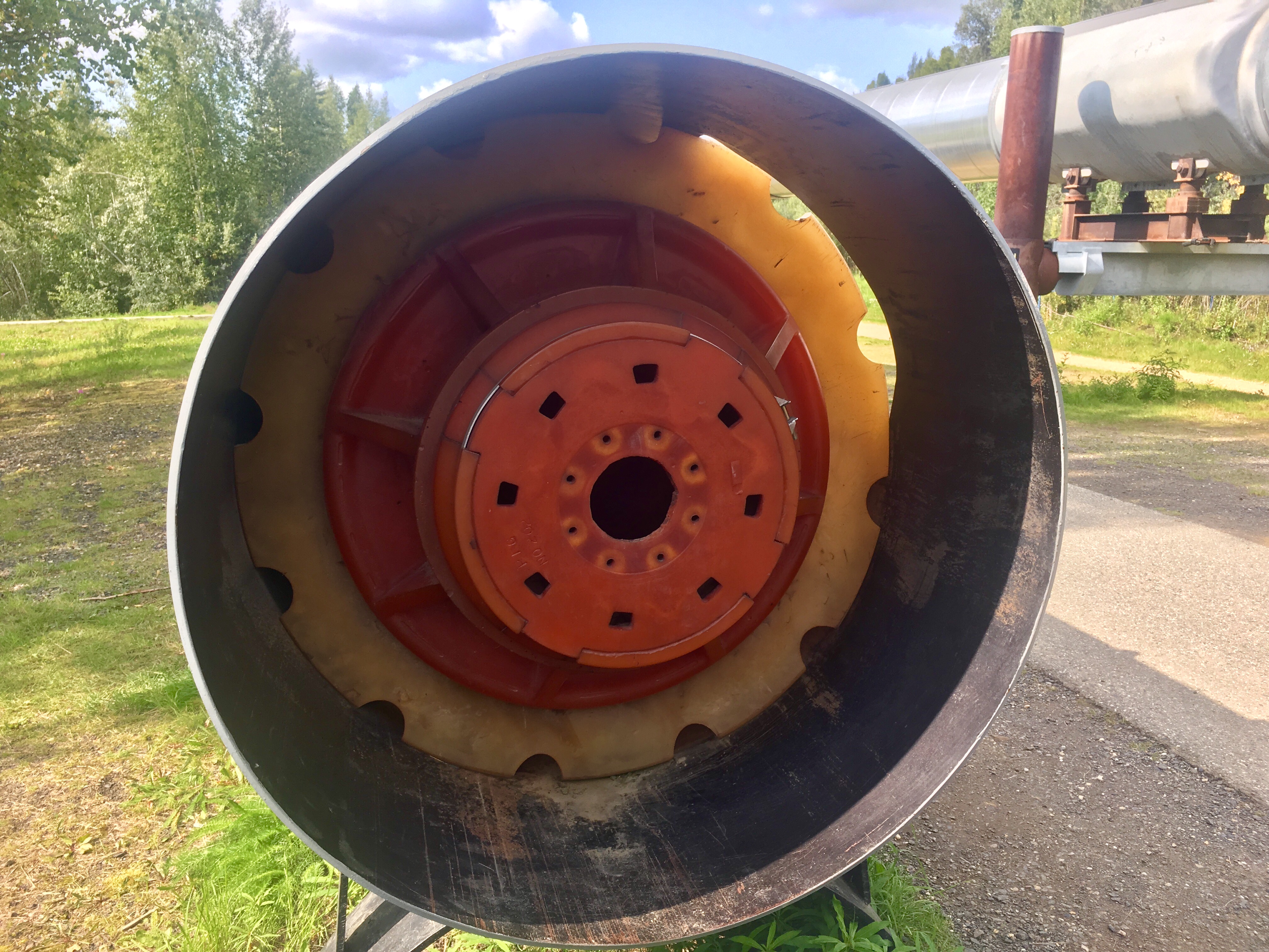
Pigs are devices used to clean the pipe. The original pigs were metal and were designed to be used before the pipe was fully up to temperature. The newer ones are a type of very stiff plastic that scours the insides of the pipe to clean off the wax buildup.


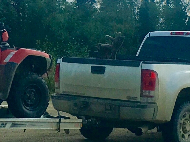
We were camped at a place called Cleary Summit for the opening weekend of caribou season. Seems like every other vehicle going by was a truck with either antlers or hooves sticking out. Note that it was motorized season – all the trucks had 4 wheelers along. Much better than field dressing and hiking out of the woods with the caribou.
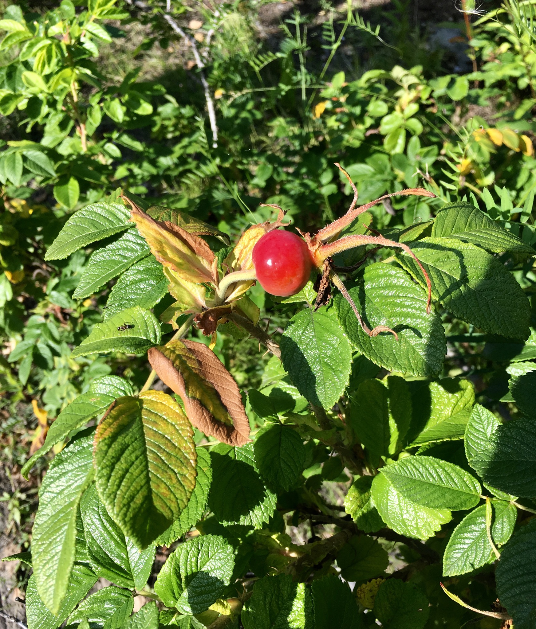
Another of the red berries. More bear food! Bears love them. More about that later.
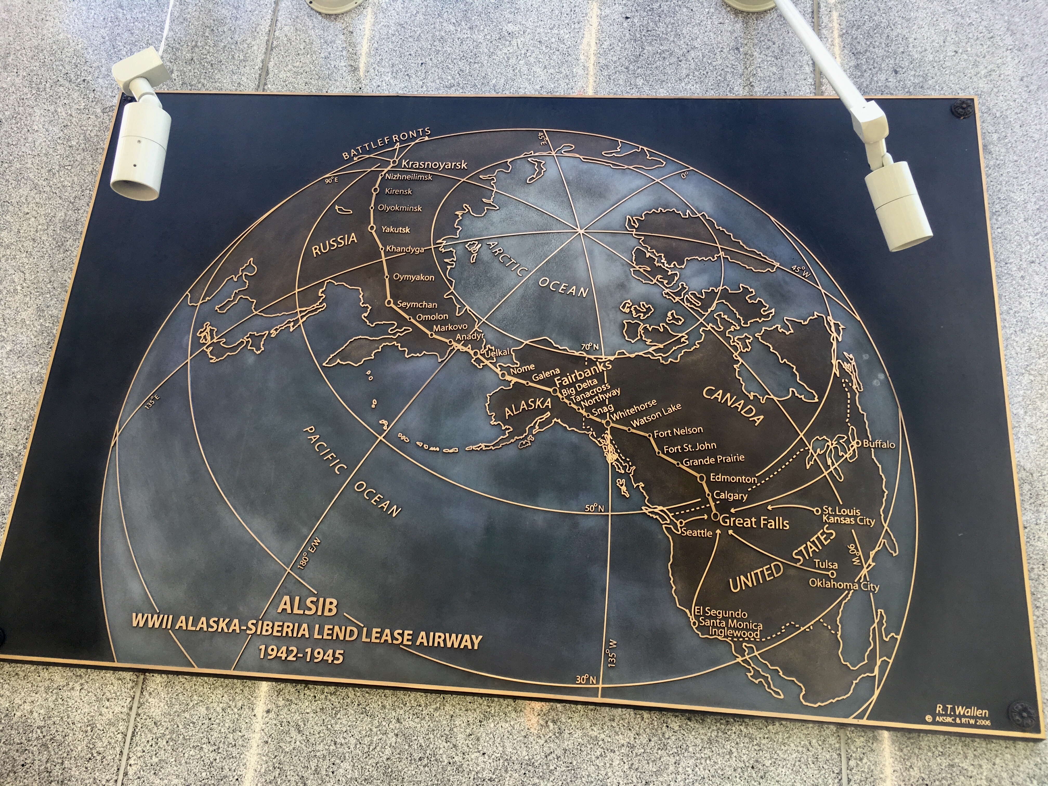
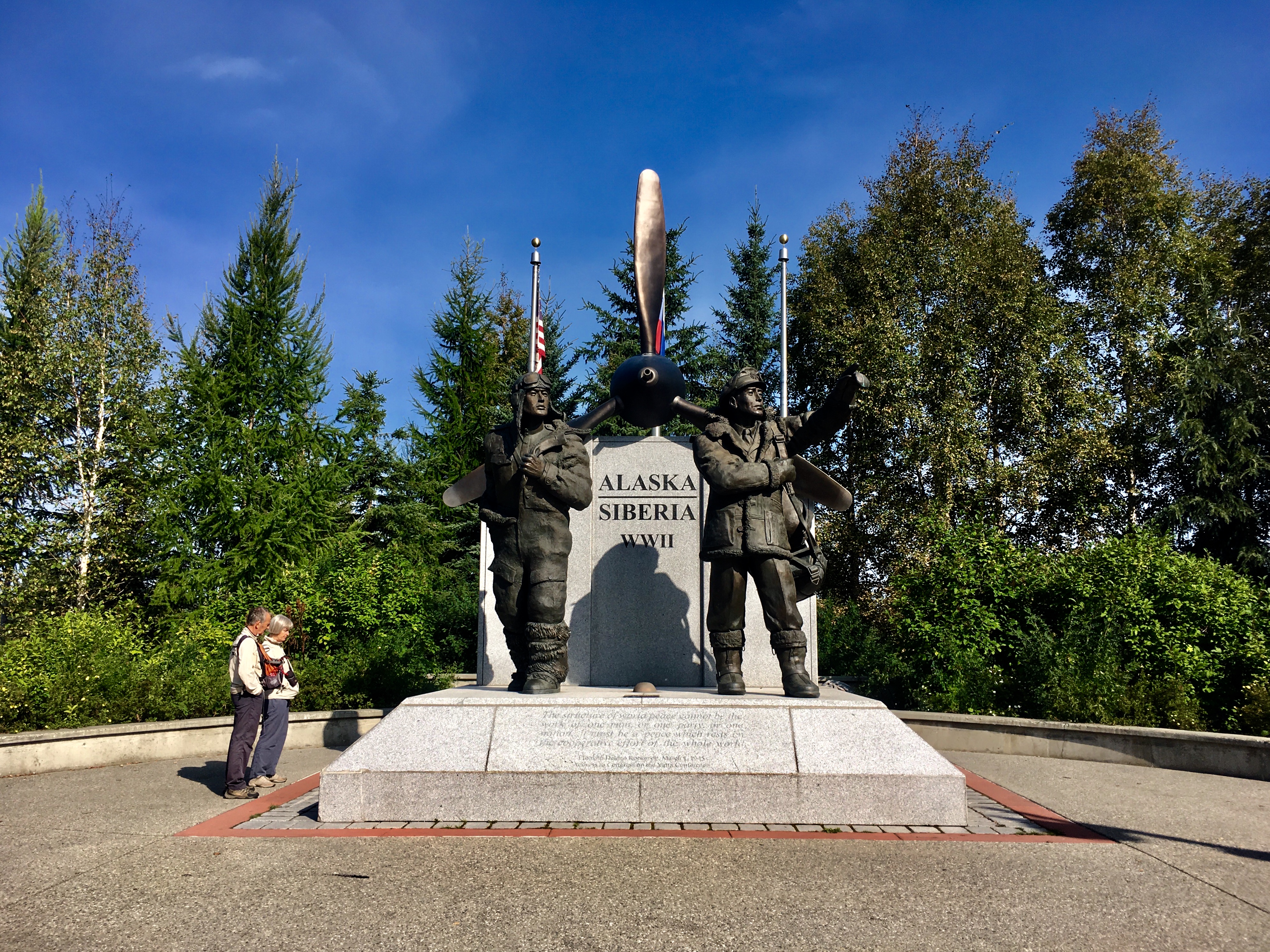
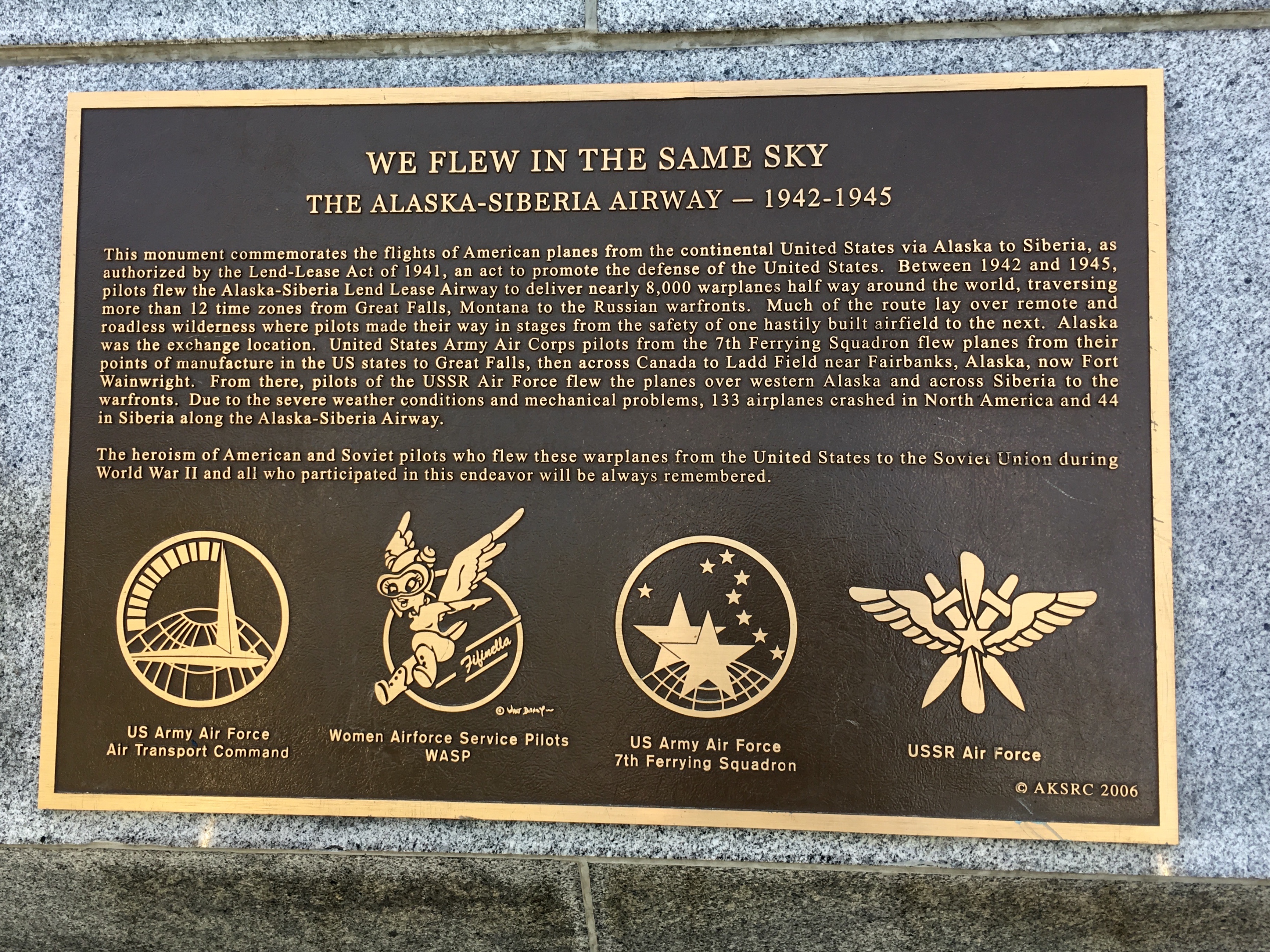
During WWII, the US transported squadrons of planes across to Russia to help support the second front in the European theater. What’s less well known is that many, if not most of those planes were ferried to Russia via Alaska and flow by women pilots.
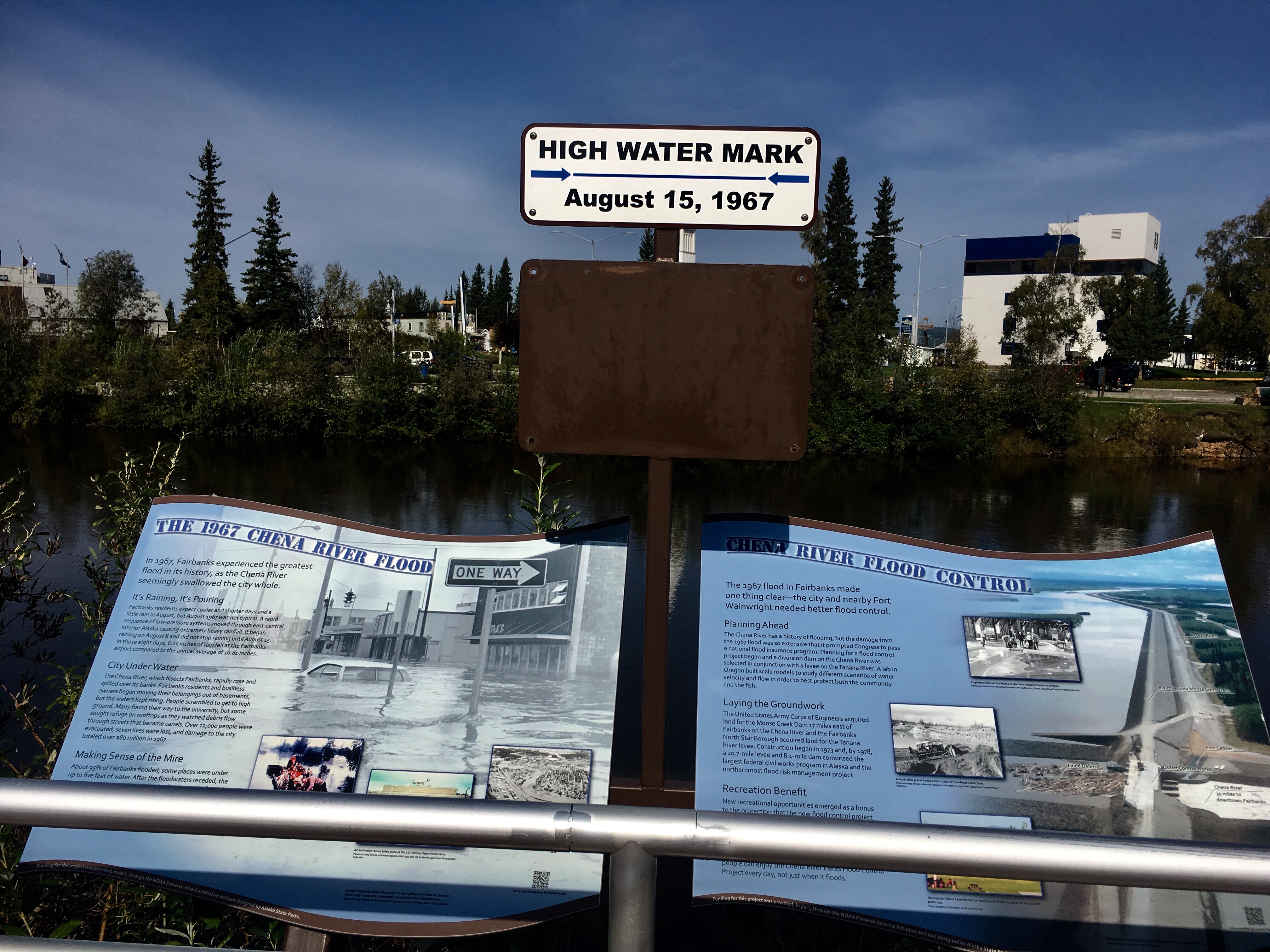
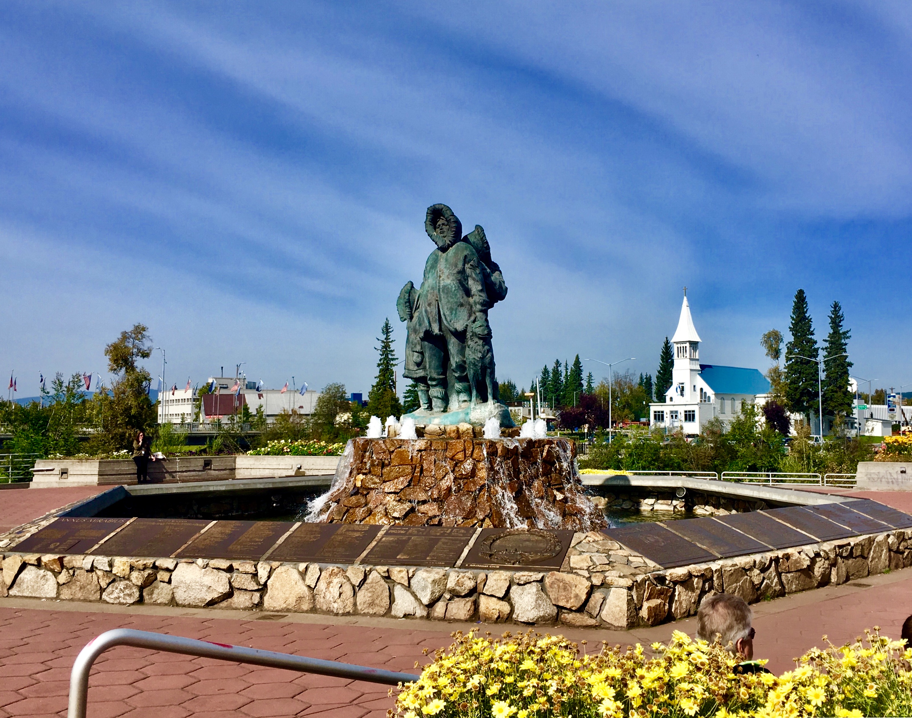
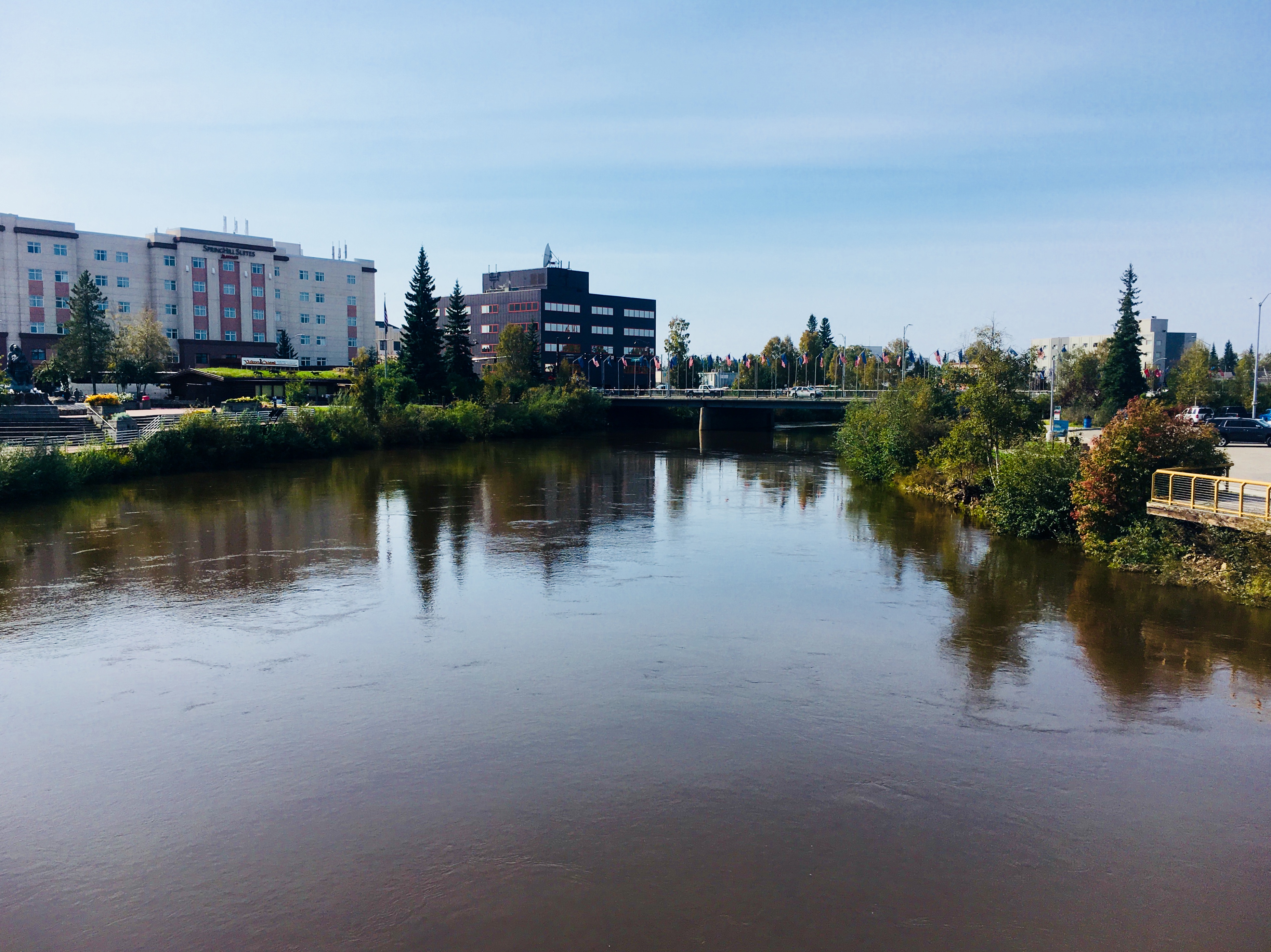
The 1967 flood that devastated much of Fairbanks. Note the high water mark above our heads.
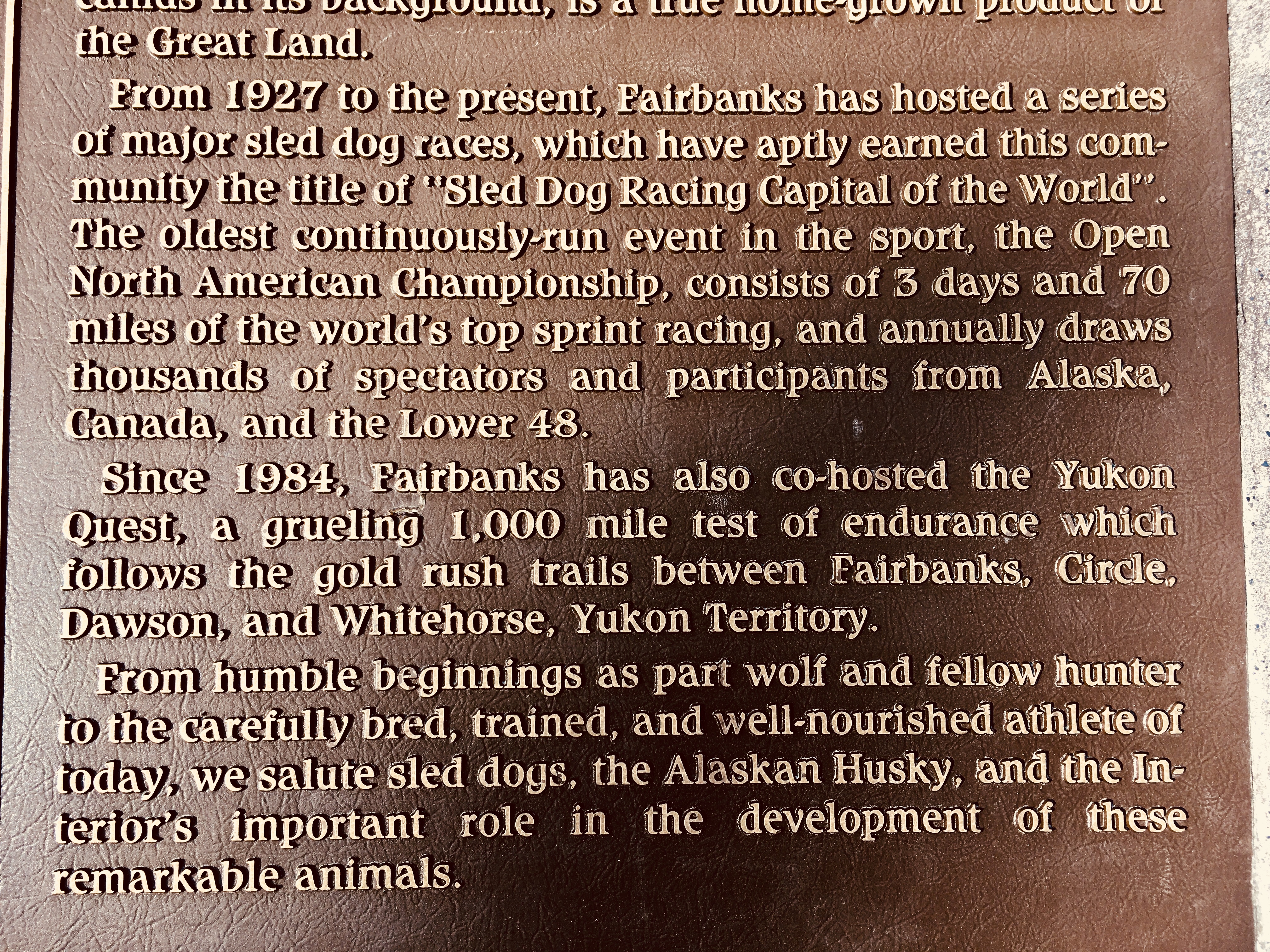
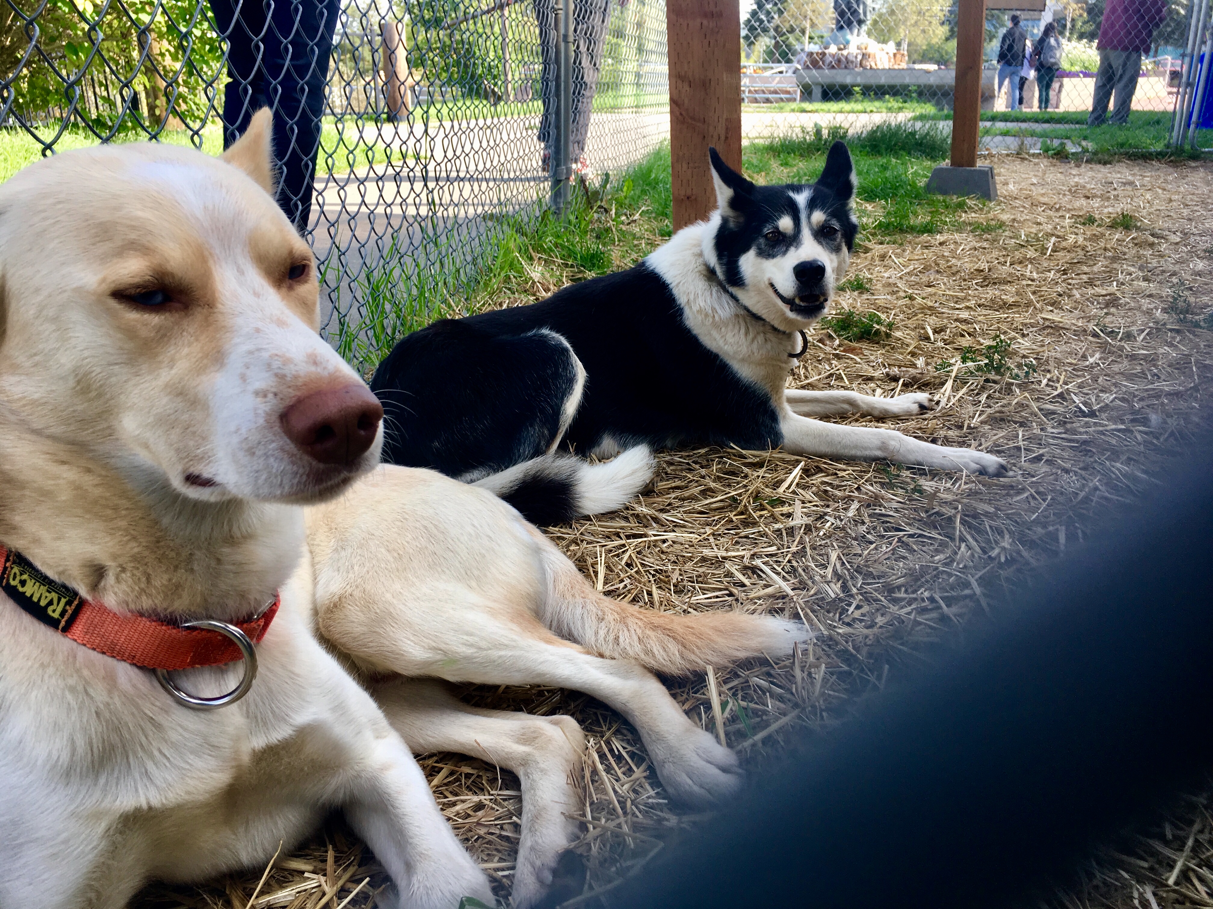
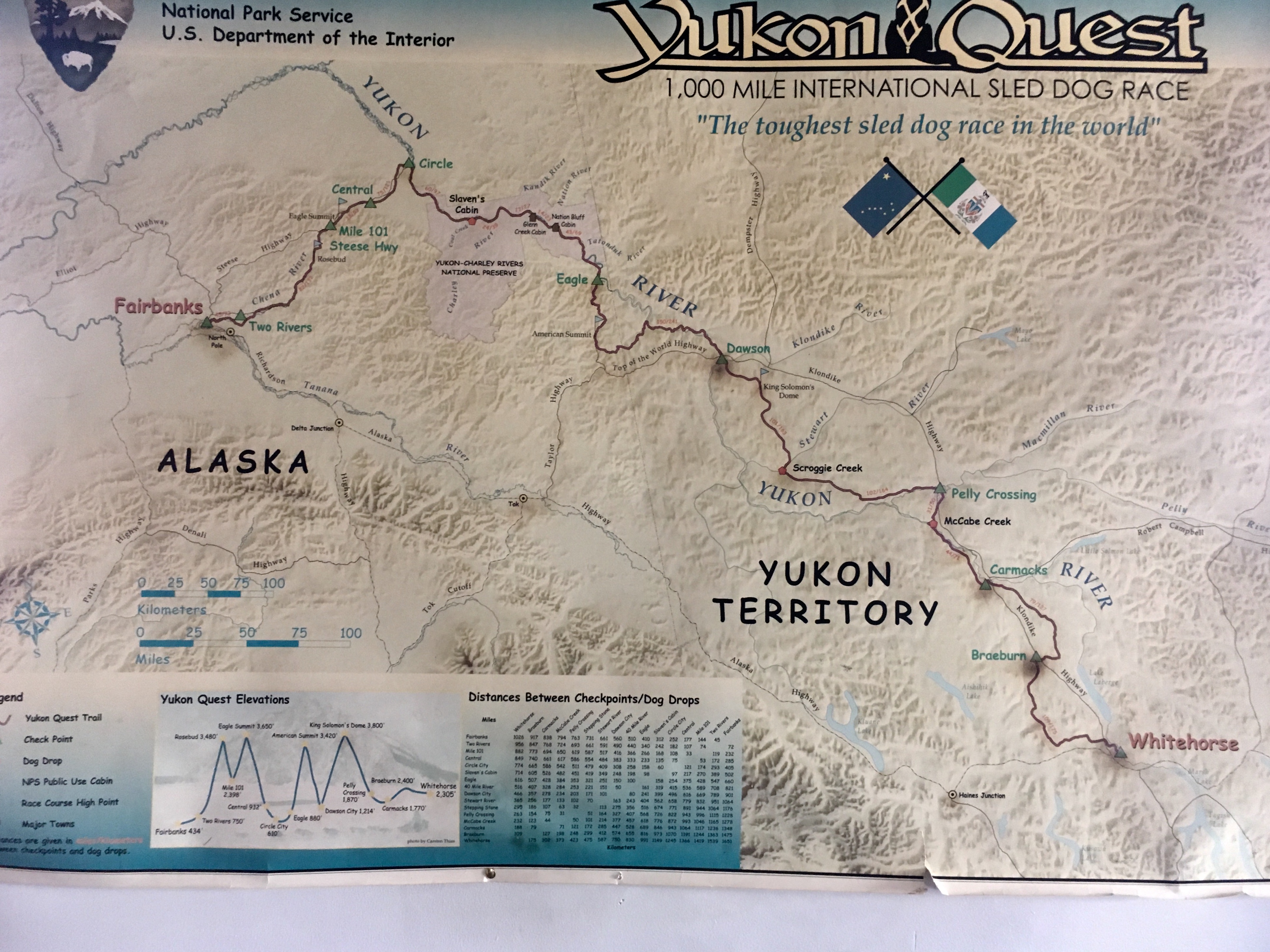
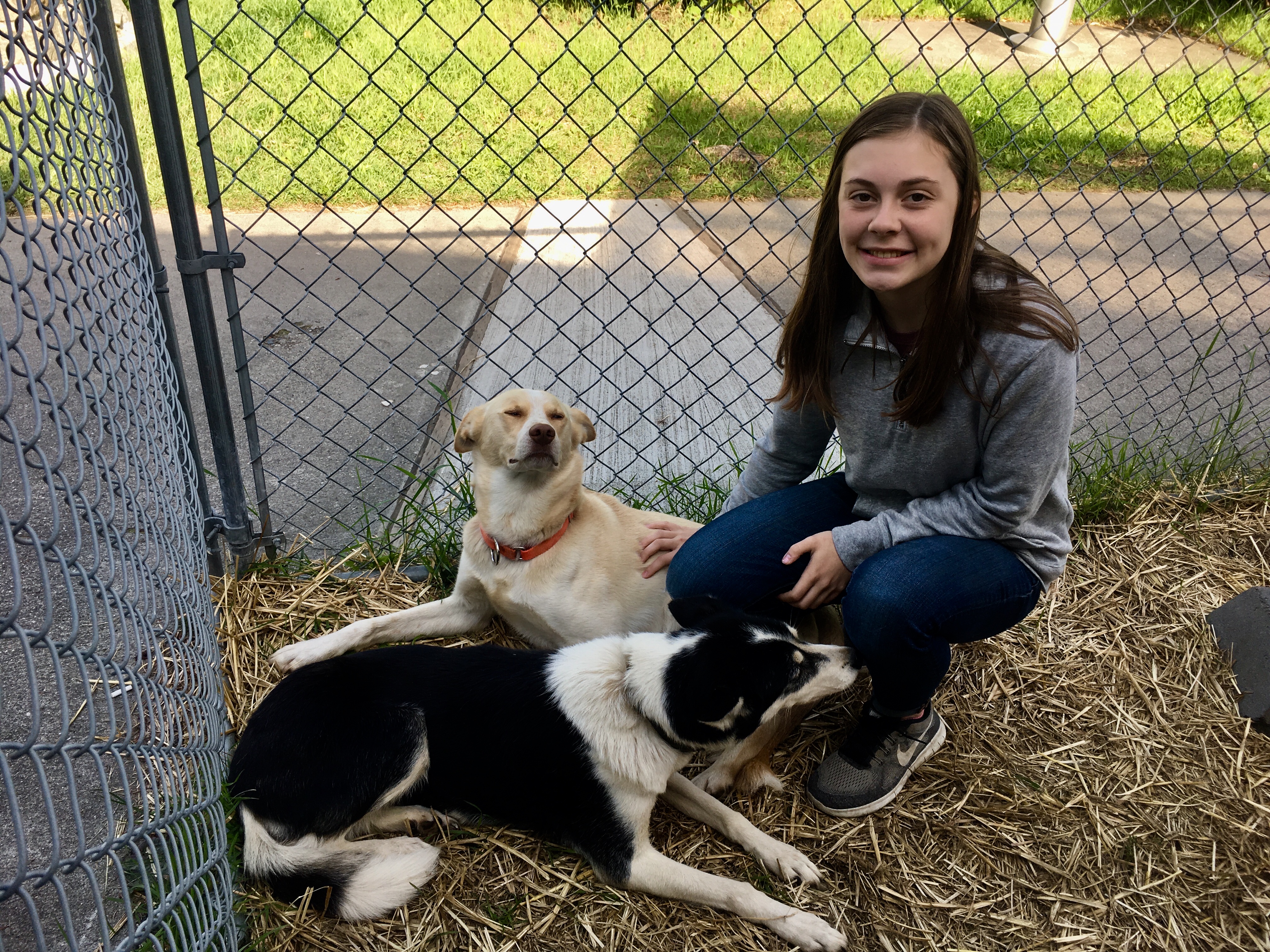
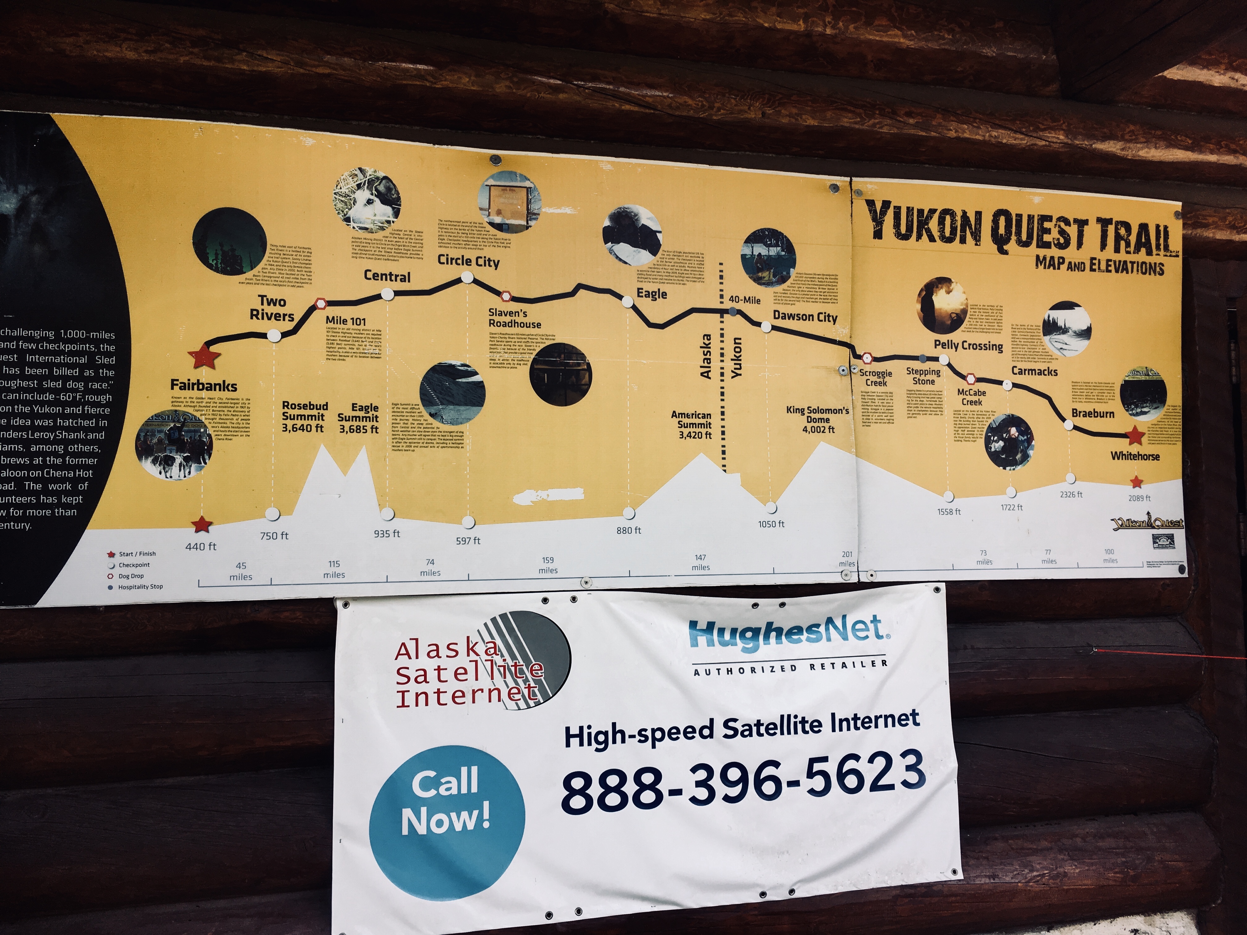
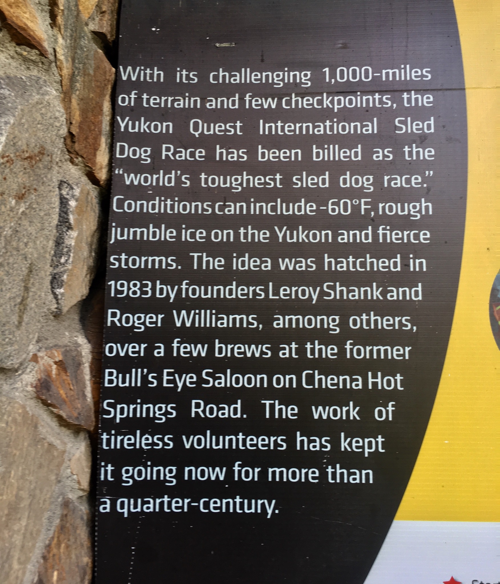
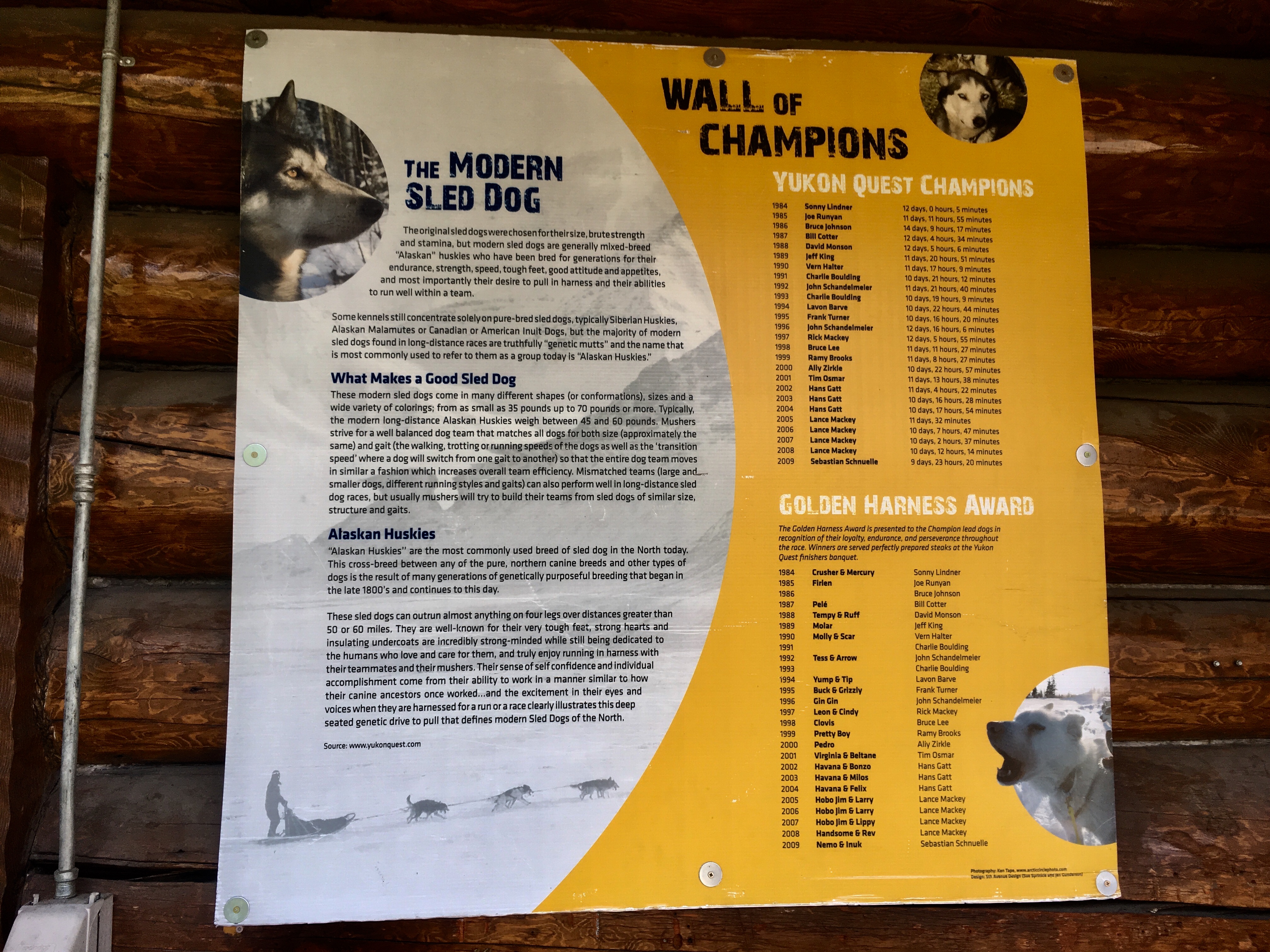
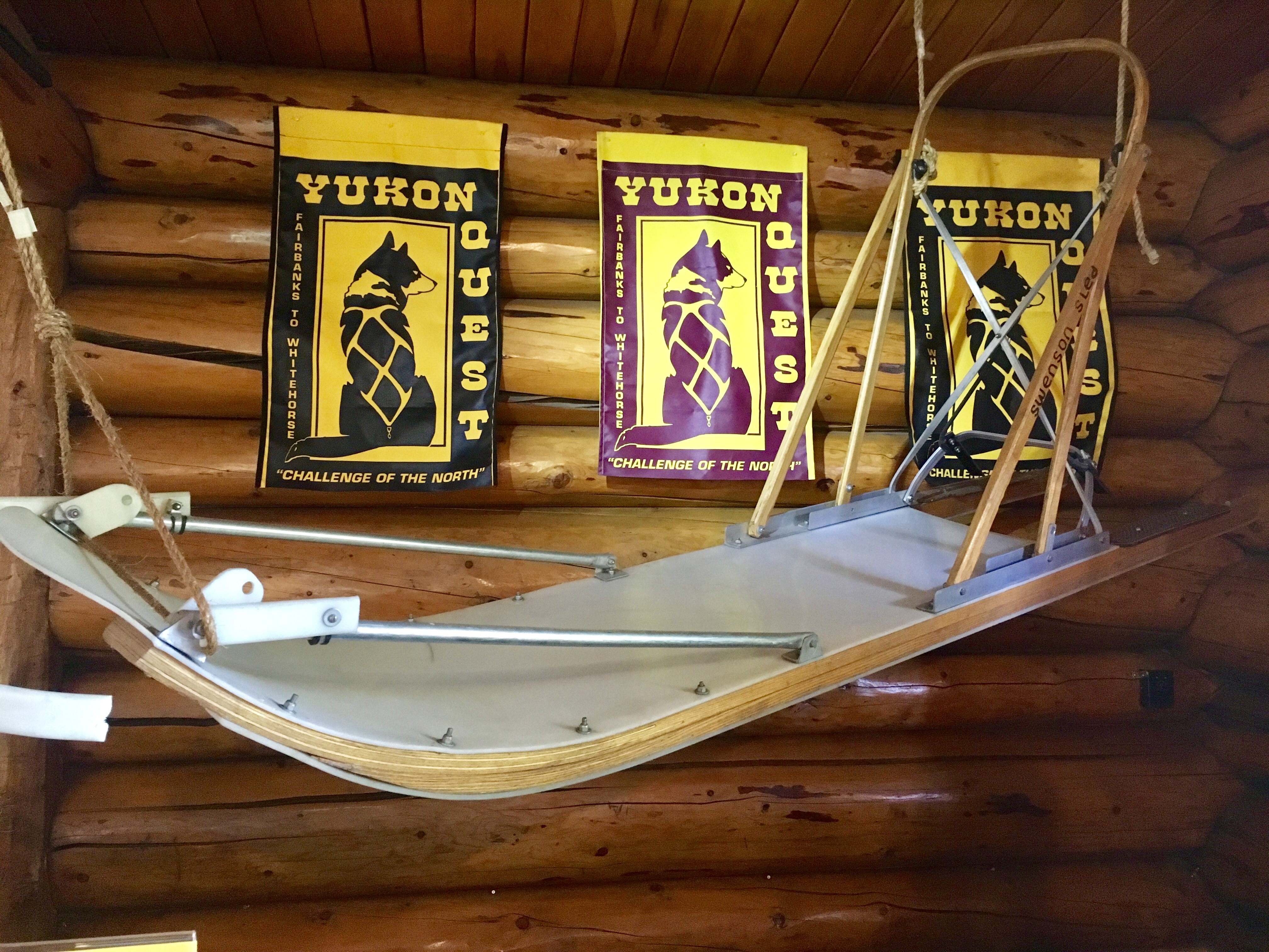
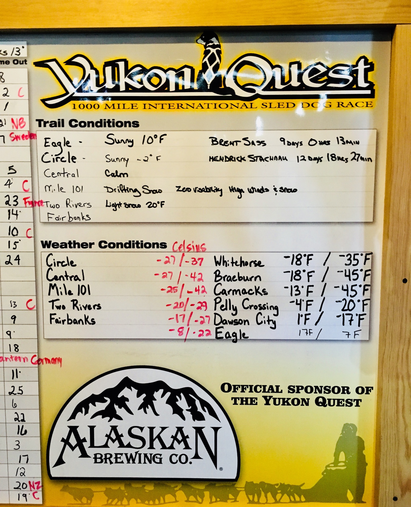
The other major dog sled race in Alaska is the Yukon Quest. It’s a very different format than the Iditarod. We got to meet a junior musher and a couple of her dogs. She has competed in a couple of junior events already and is gearing up for the Willow 100 race this year.
We also spent some time talking with the mom of one of the Yukon Quest mushers. Interesting to get mom’s perspective on such a daunting challenge. We’ll be following and cheering for Deke in this years race!
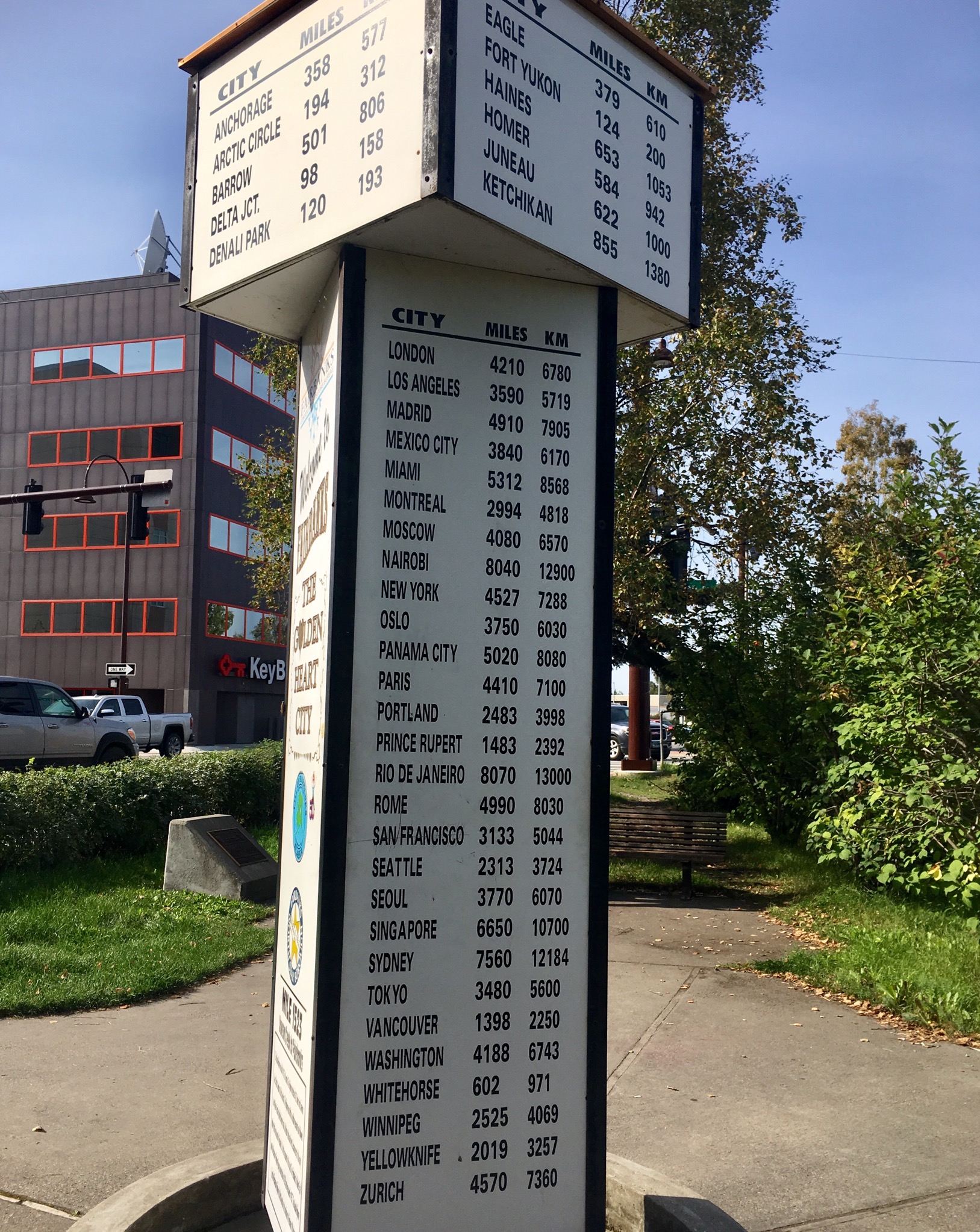
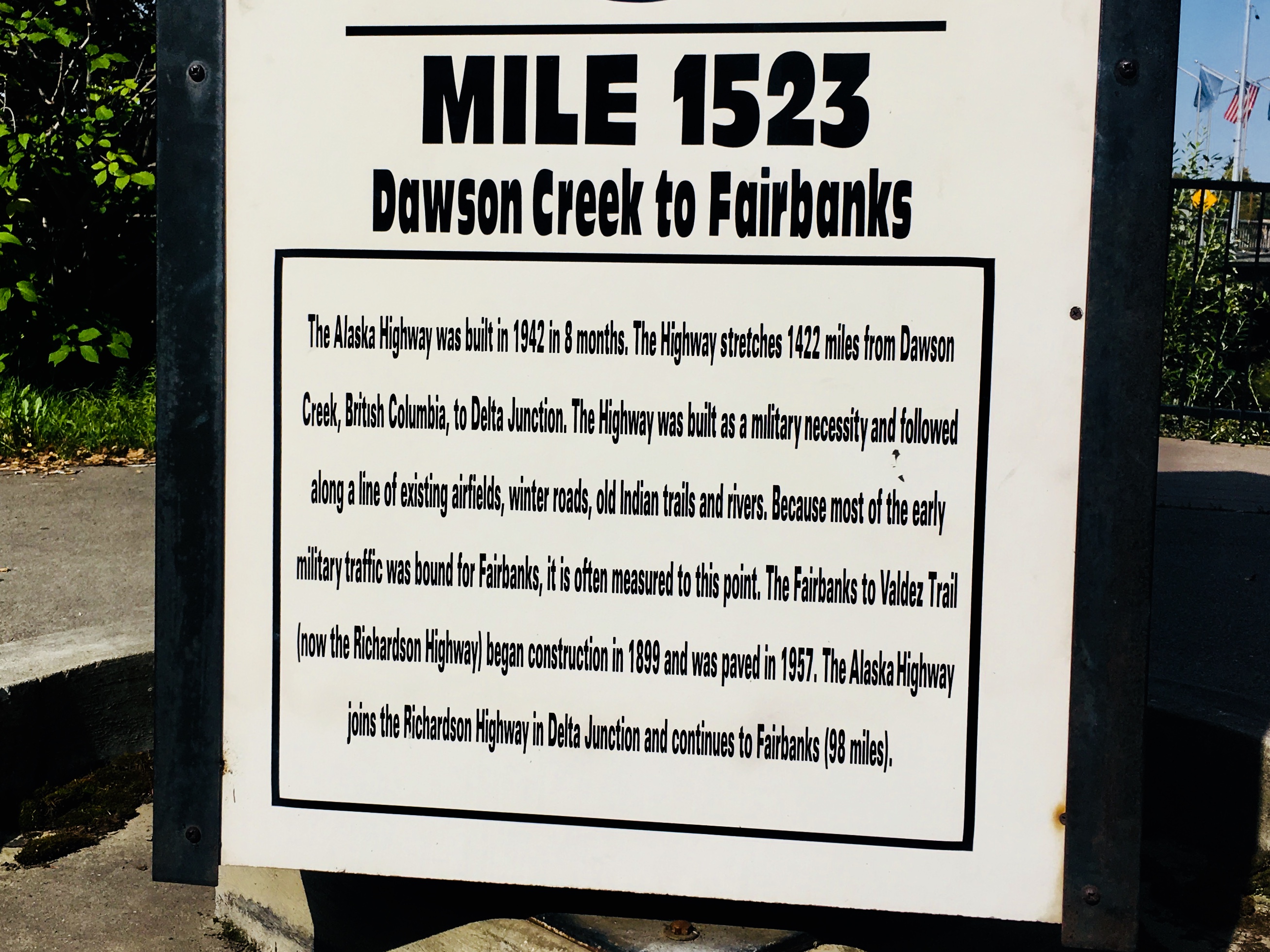
The AlCan highway officially ends at mile 1422 in Delta Junction, but it was extended to Fairbanks and mile 1523.
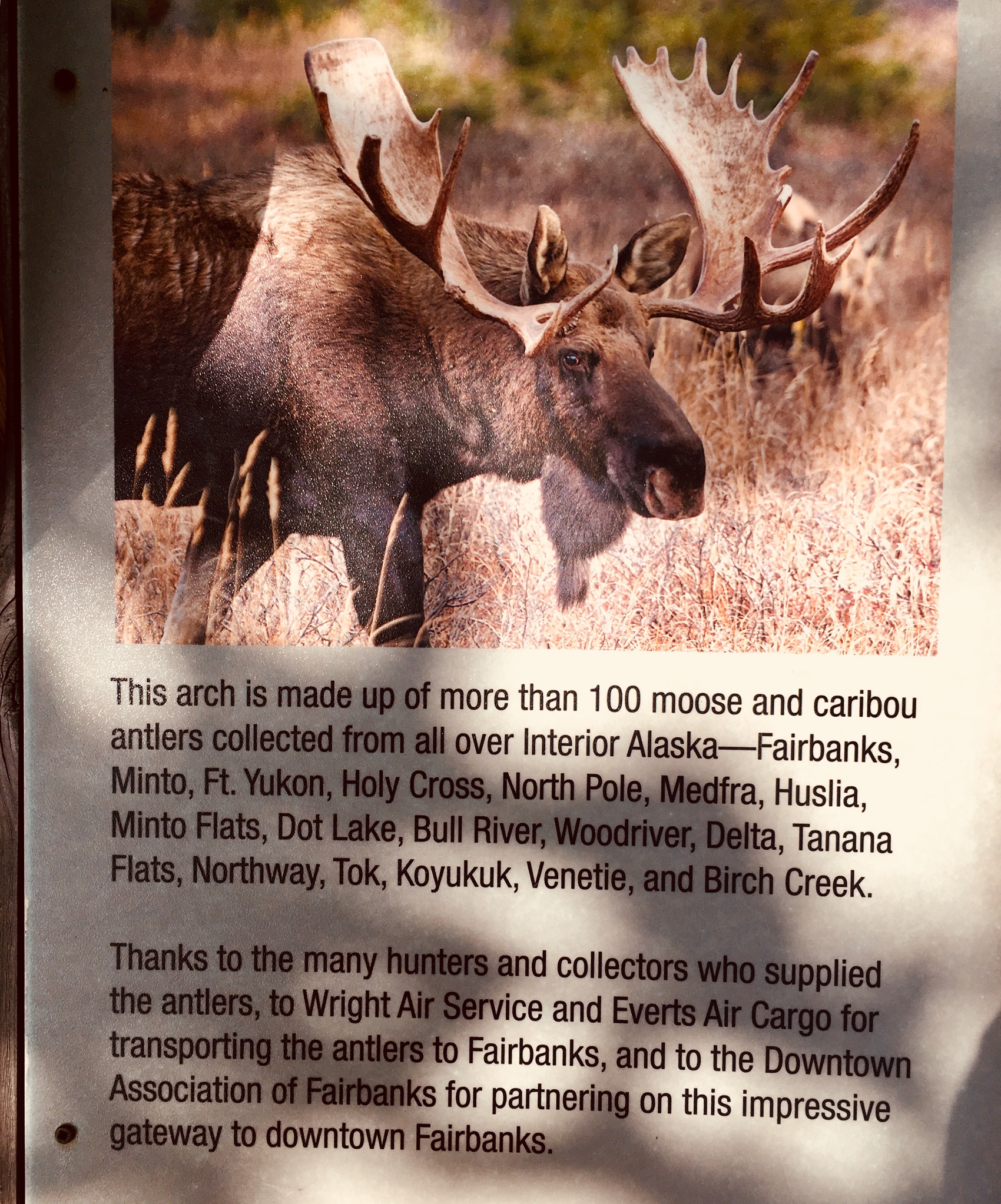
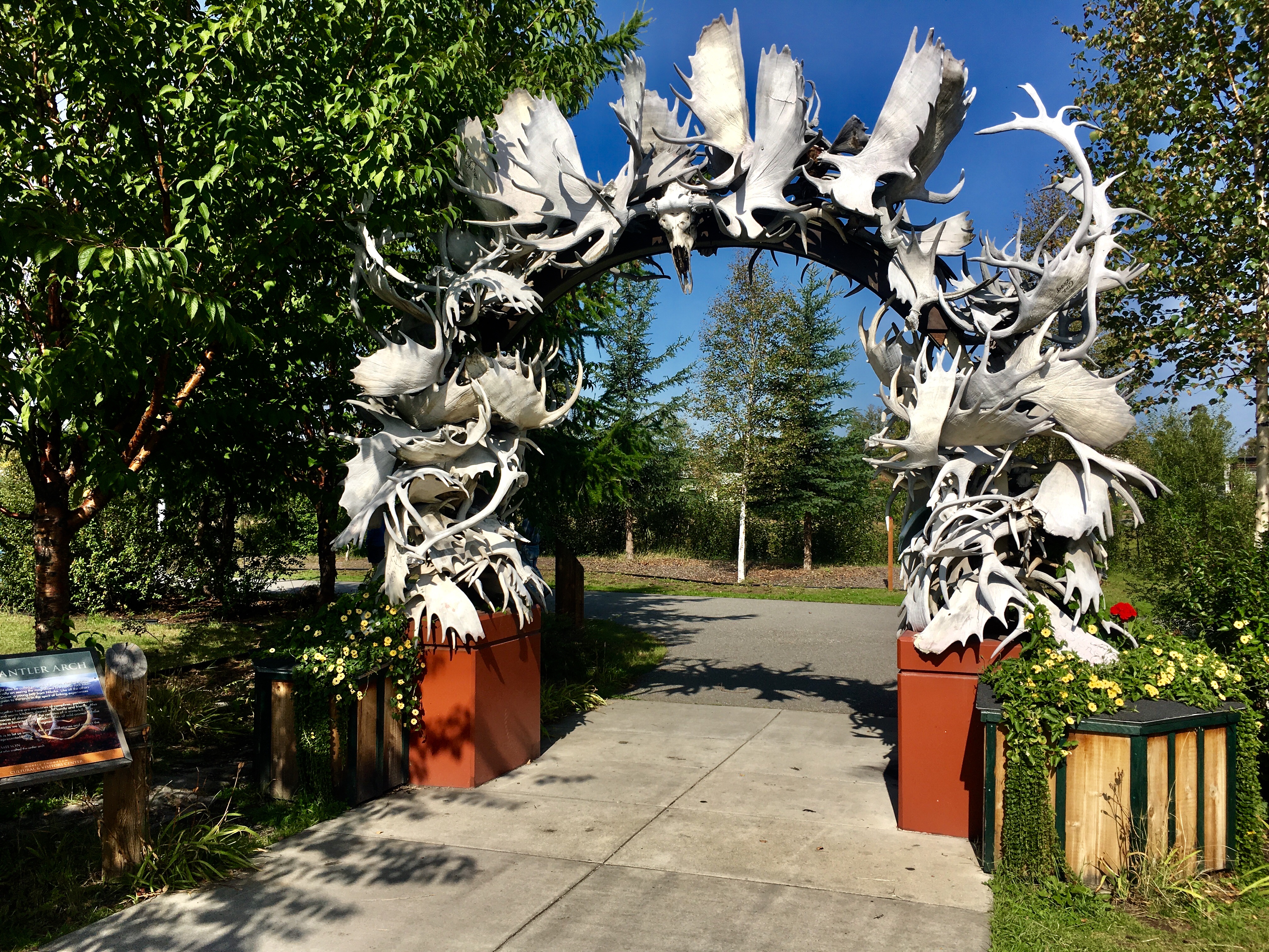
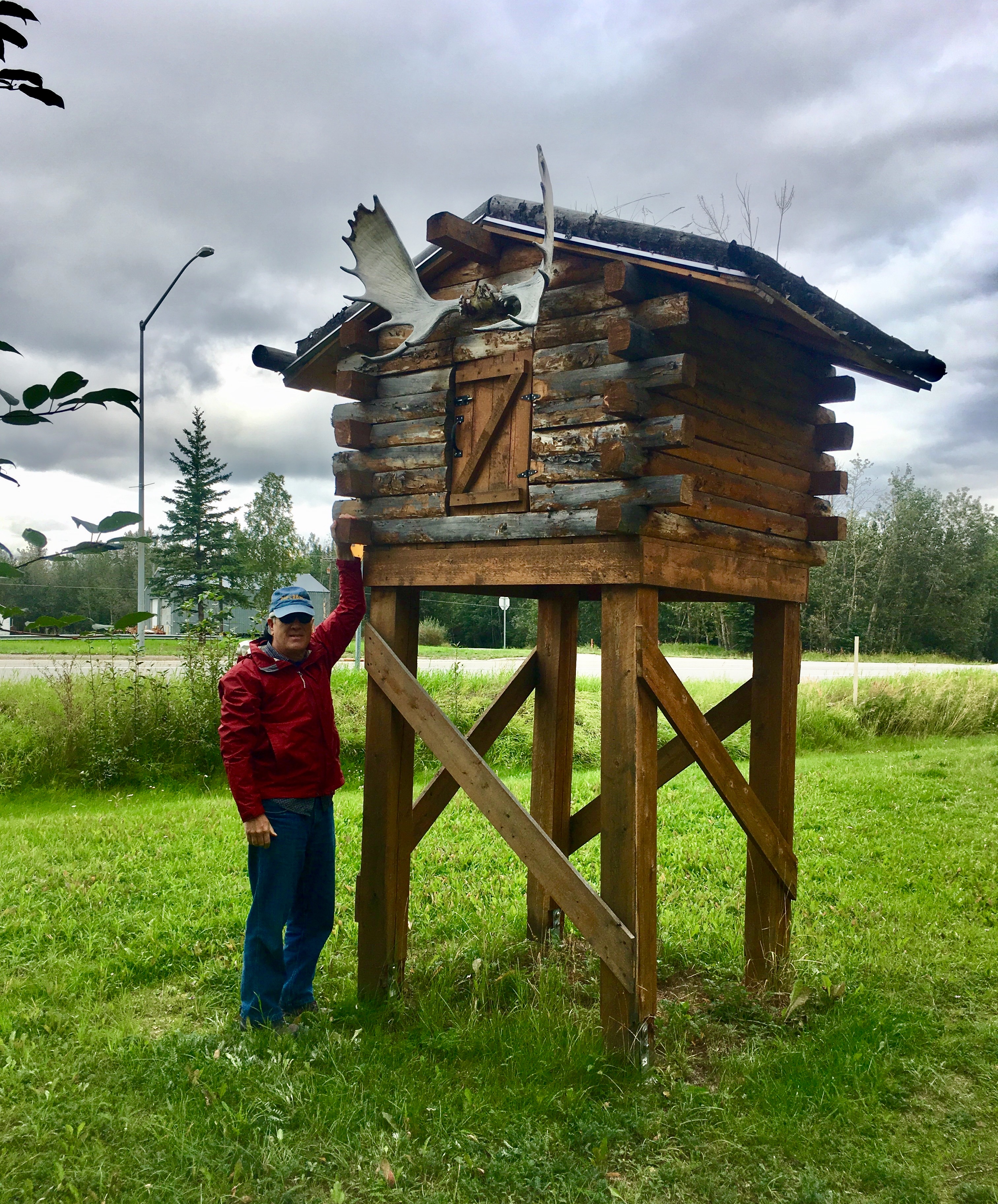
Antler Arch – interesting sculpture!
But if not…
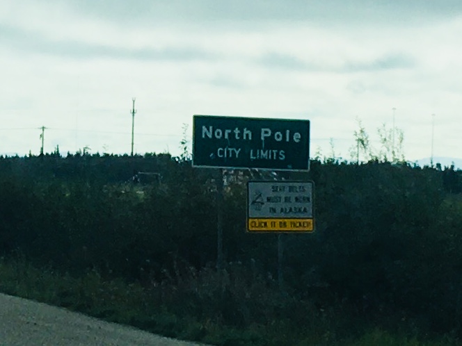
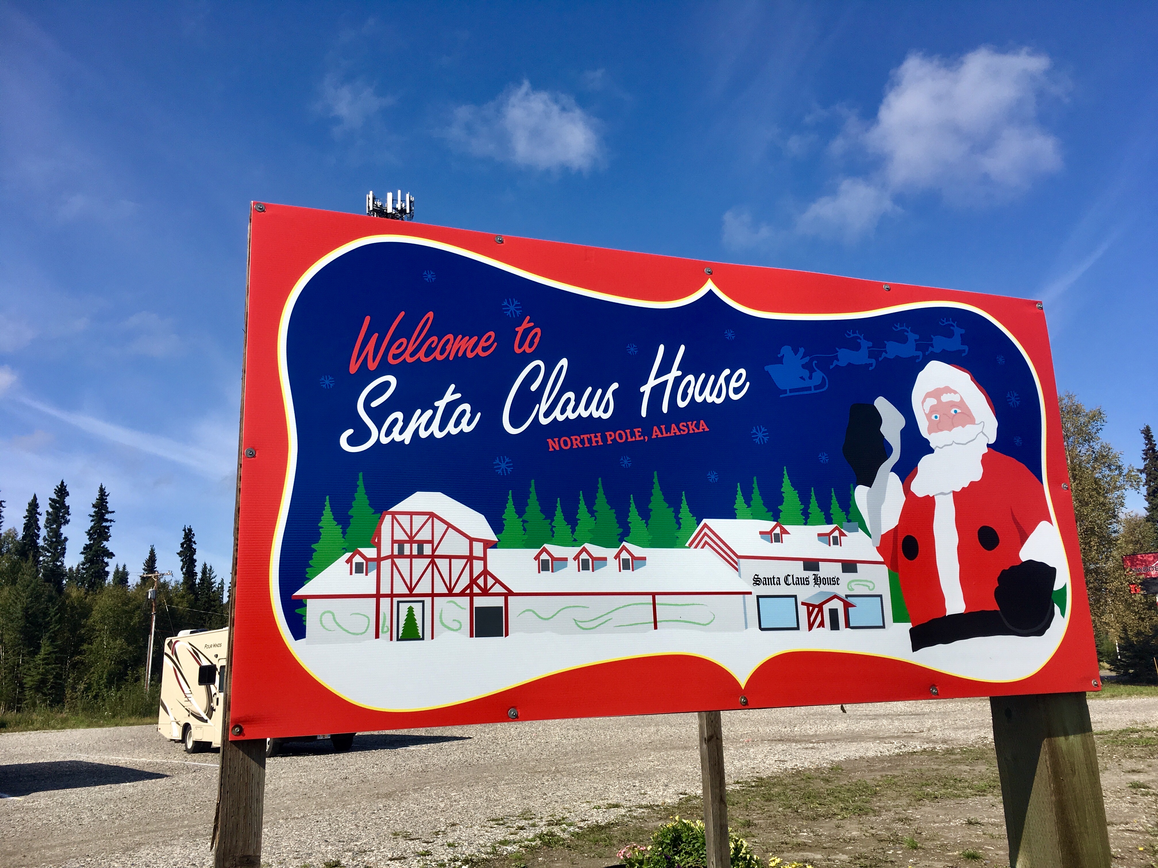
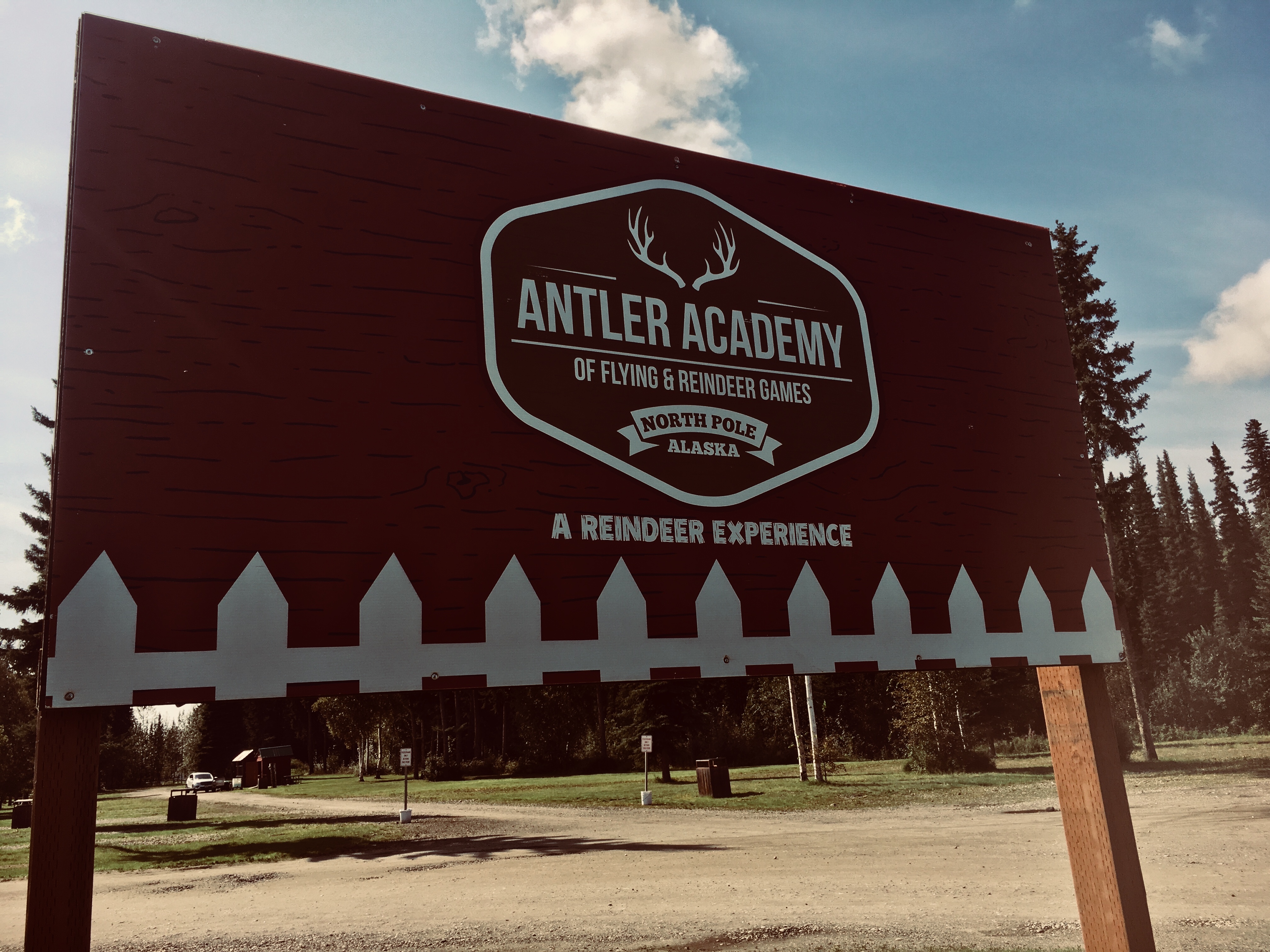
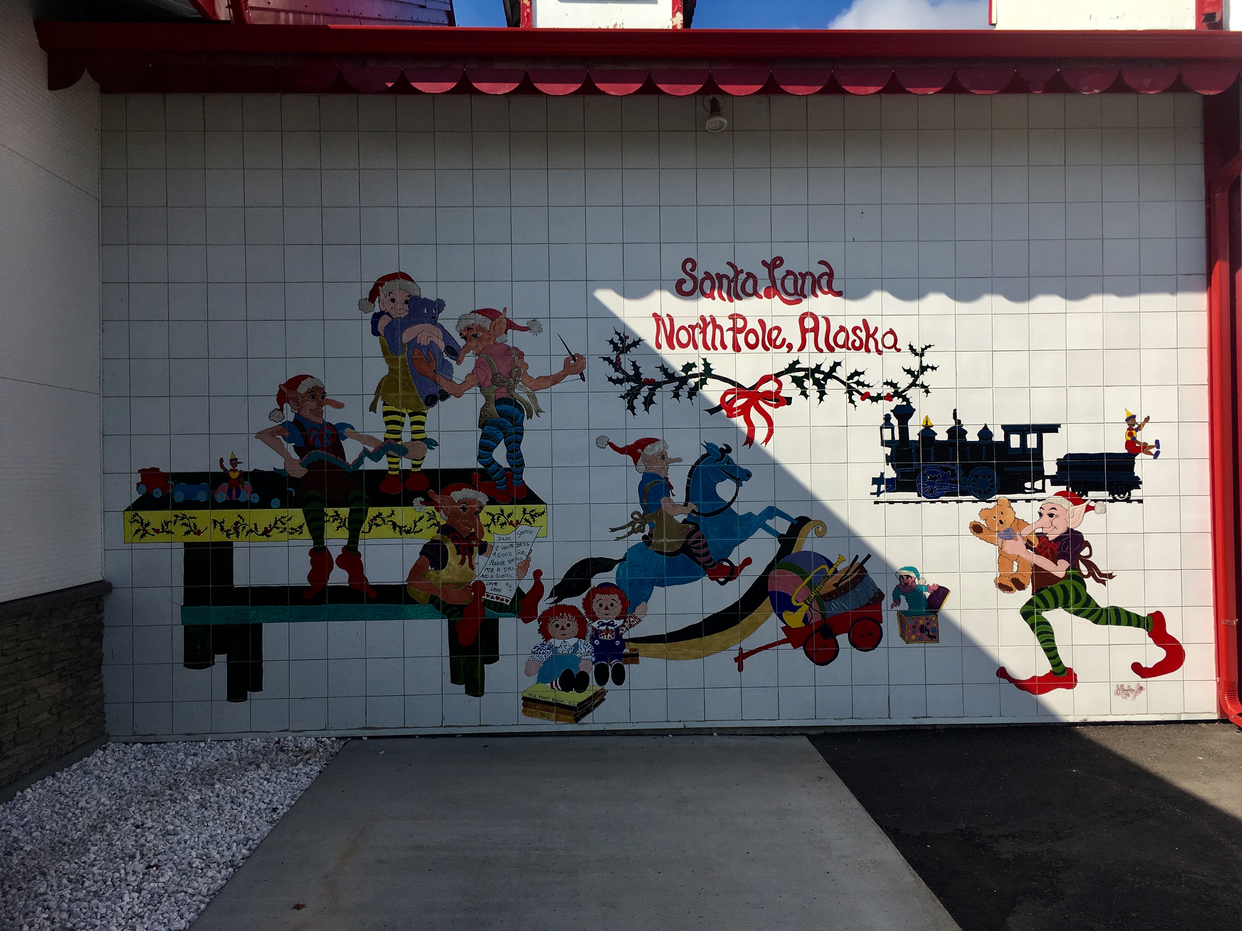
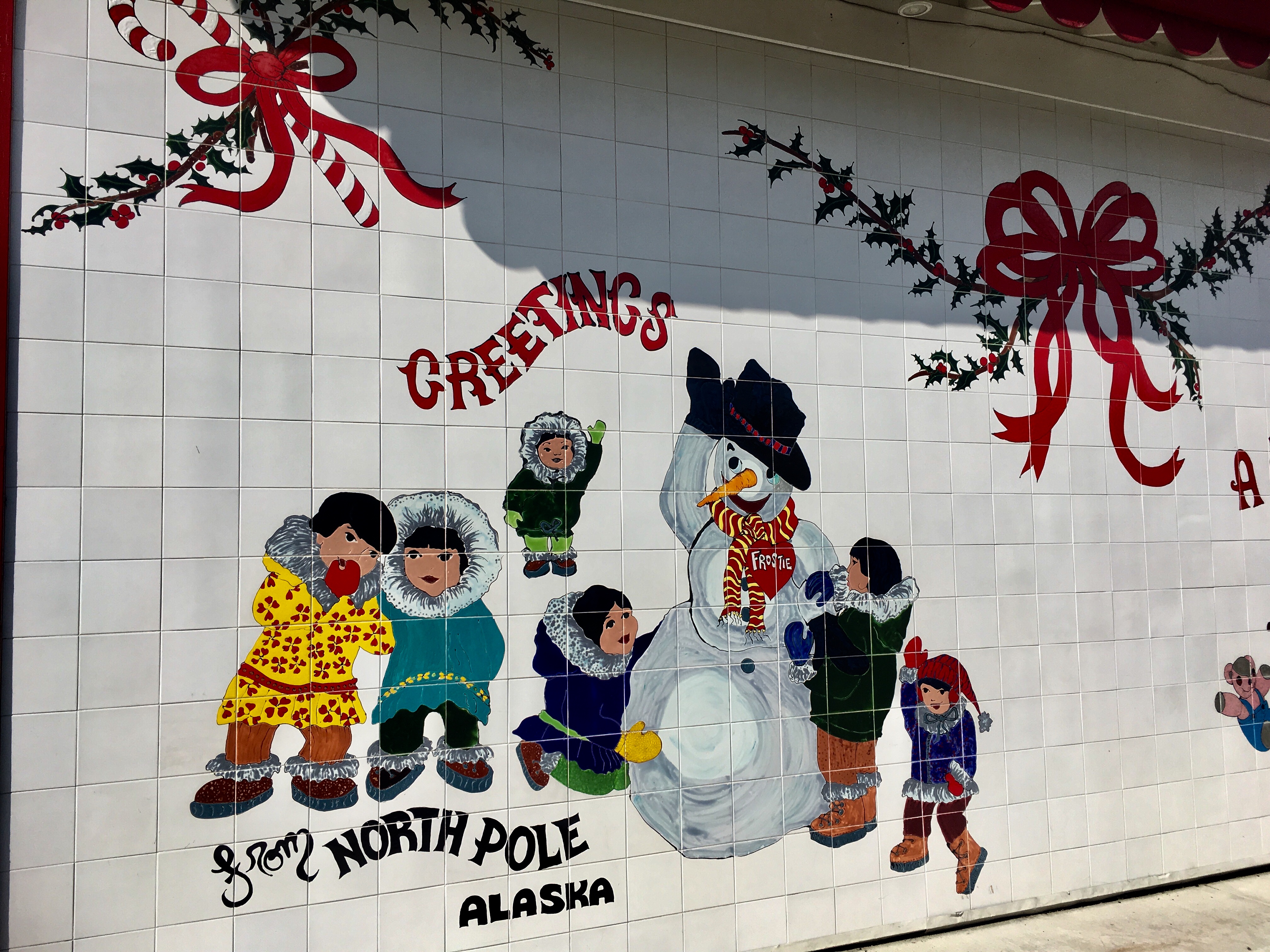
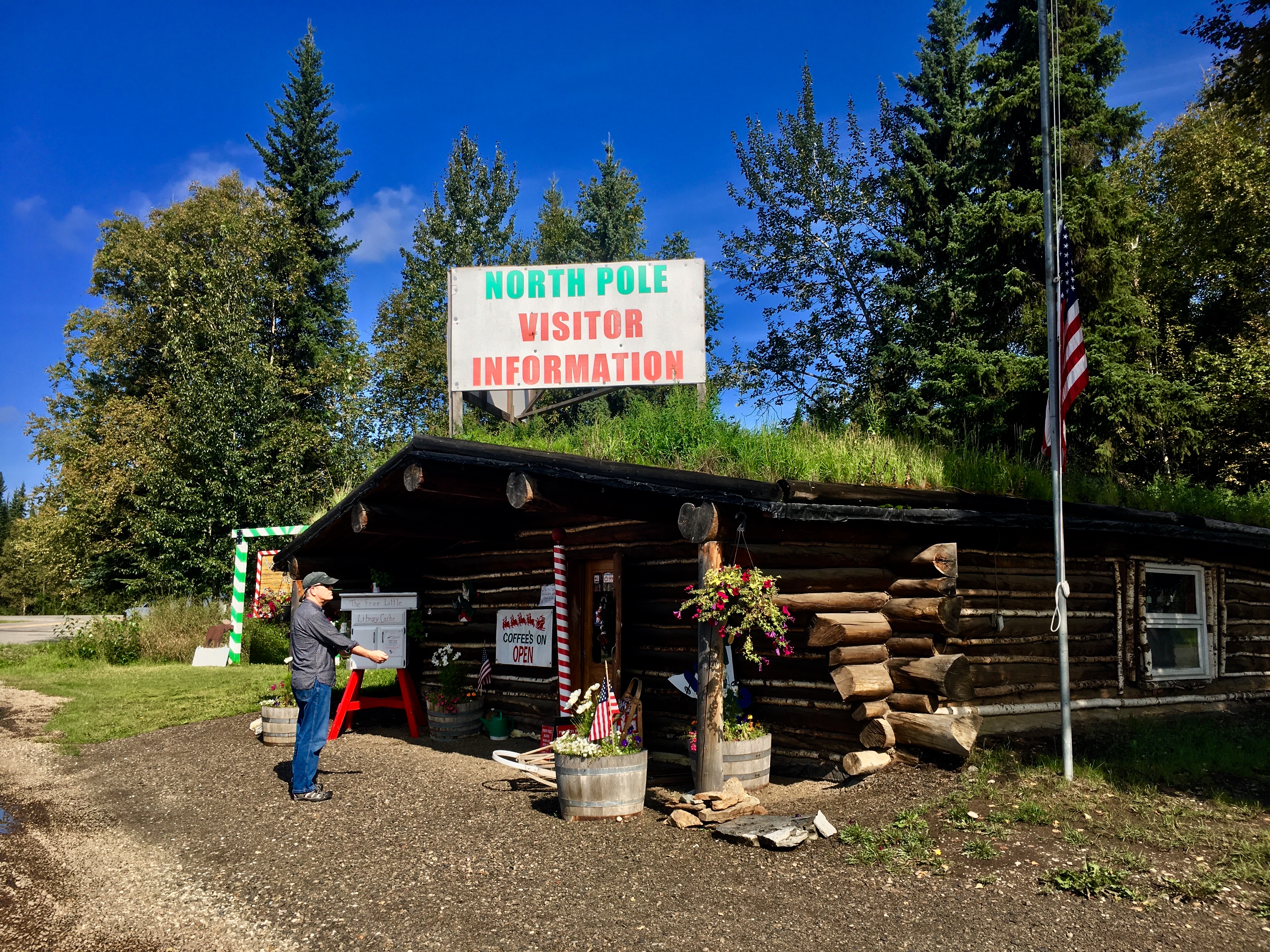
One of the must stops on any trip to Alaska, we were told, is at North Pole, where they “take Christmas very seriously.” So we stopped. And we shopped. Just a little.


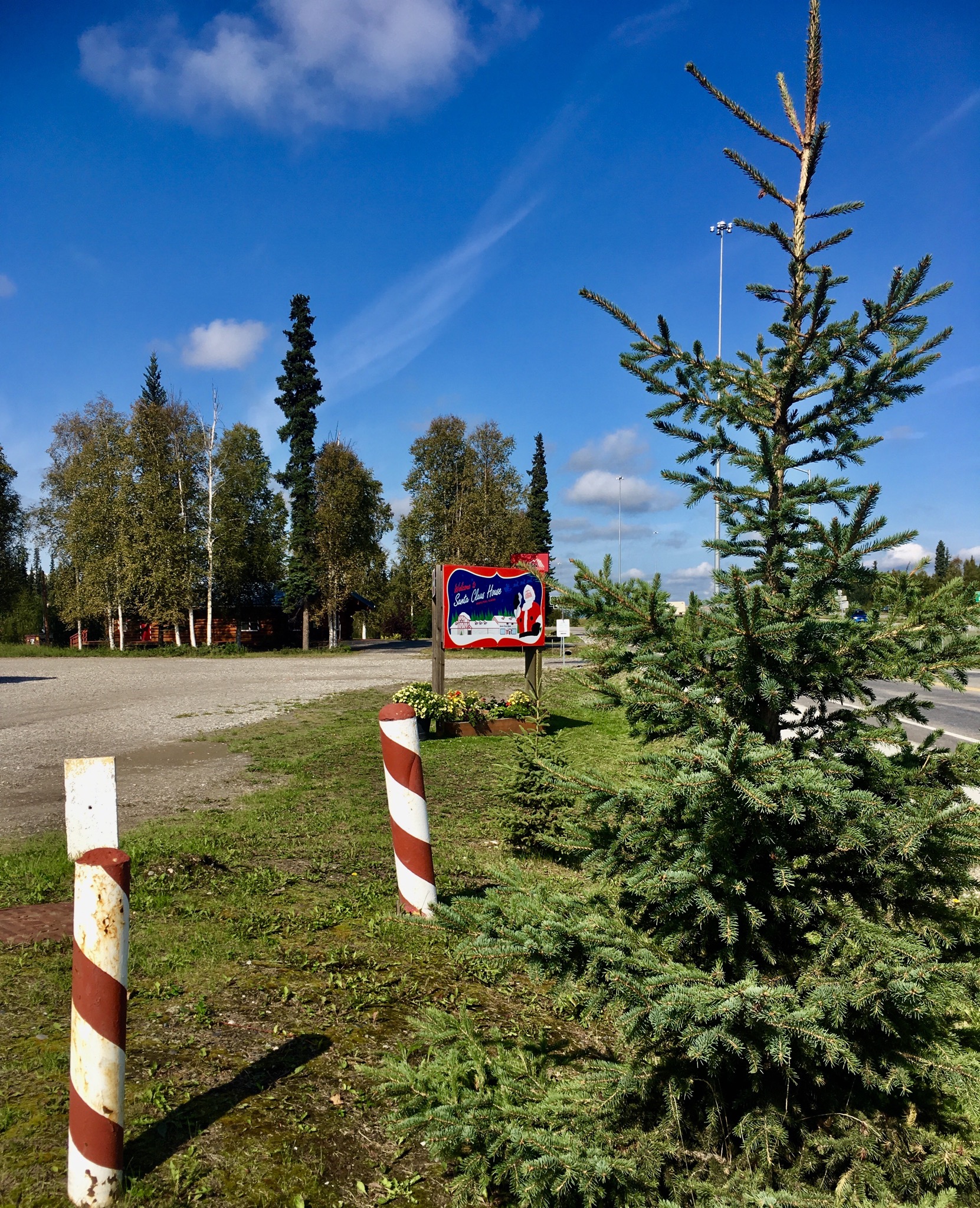
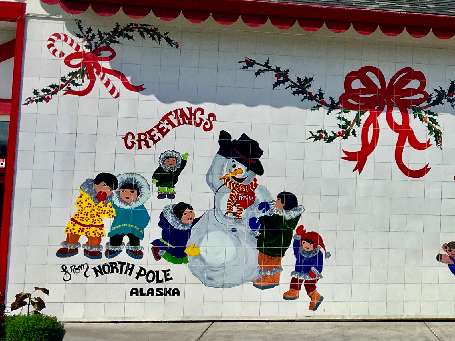
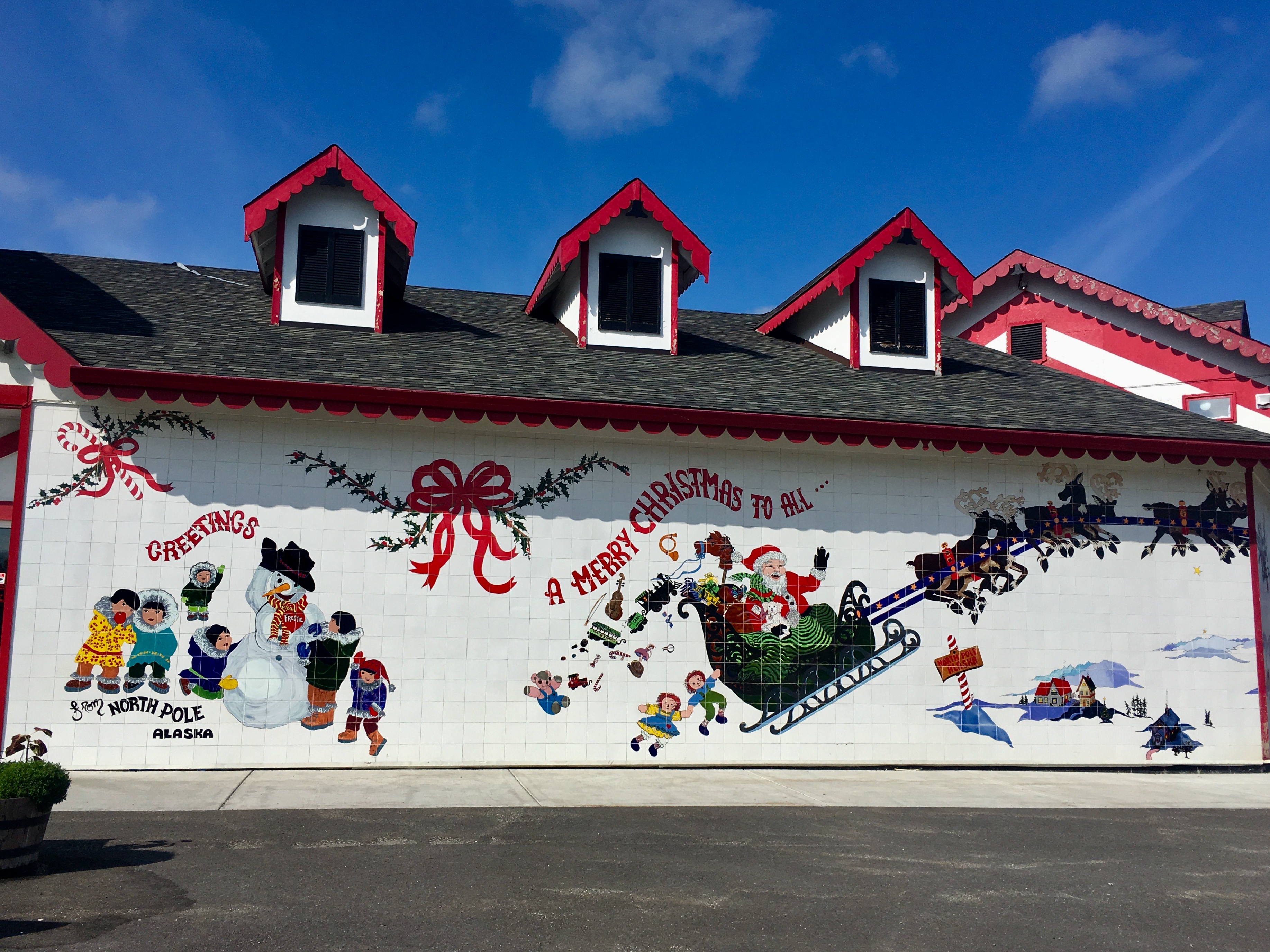
Very cool murals on the sides of the building.
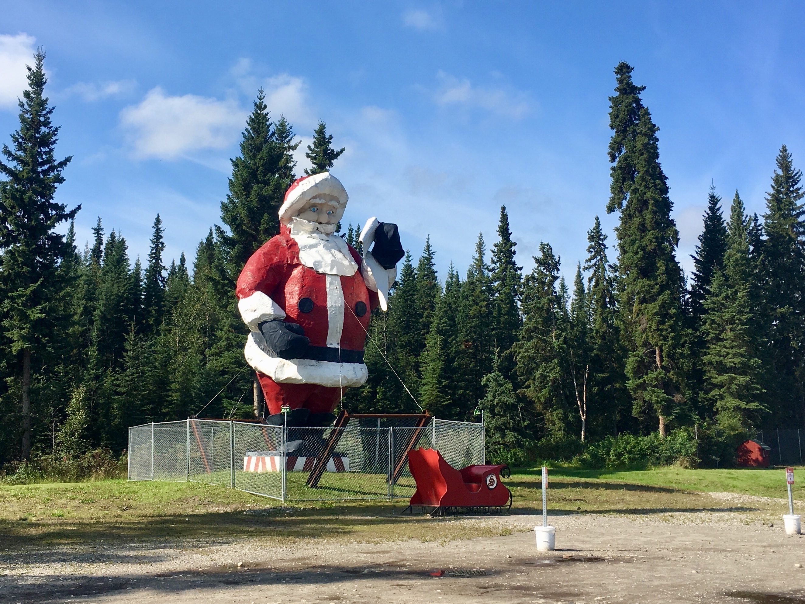
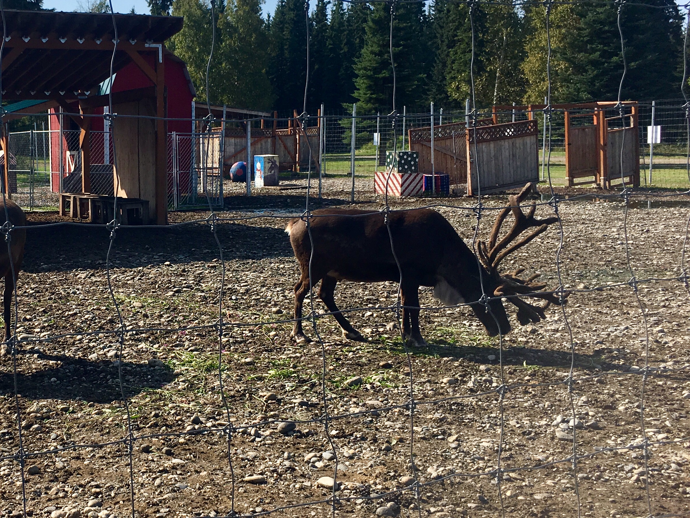
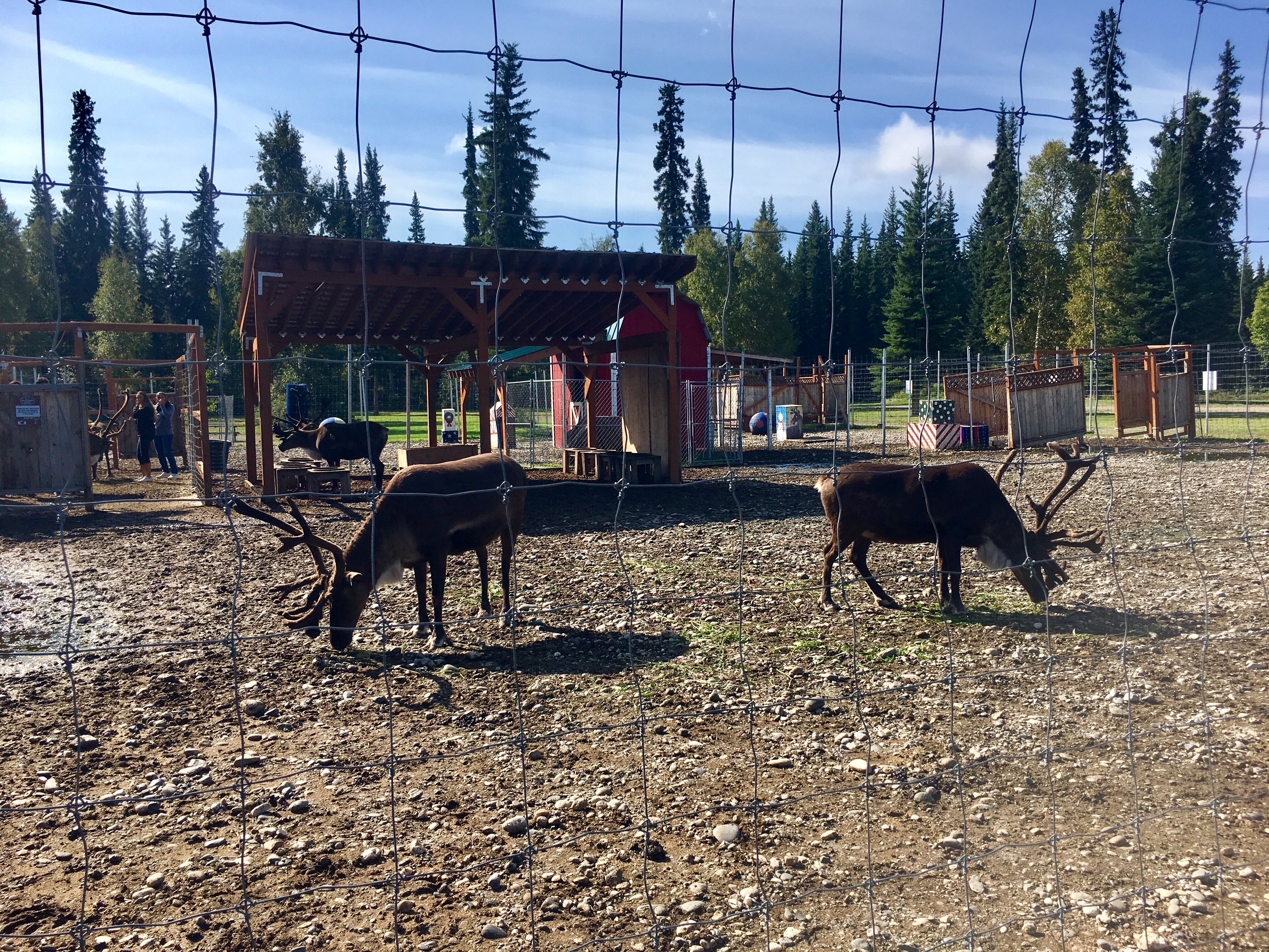
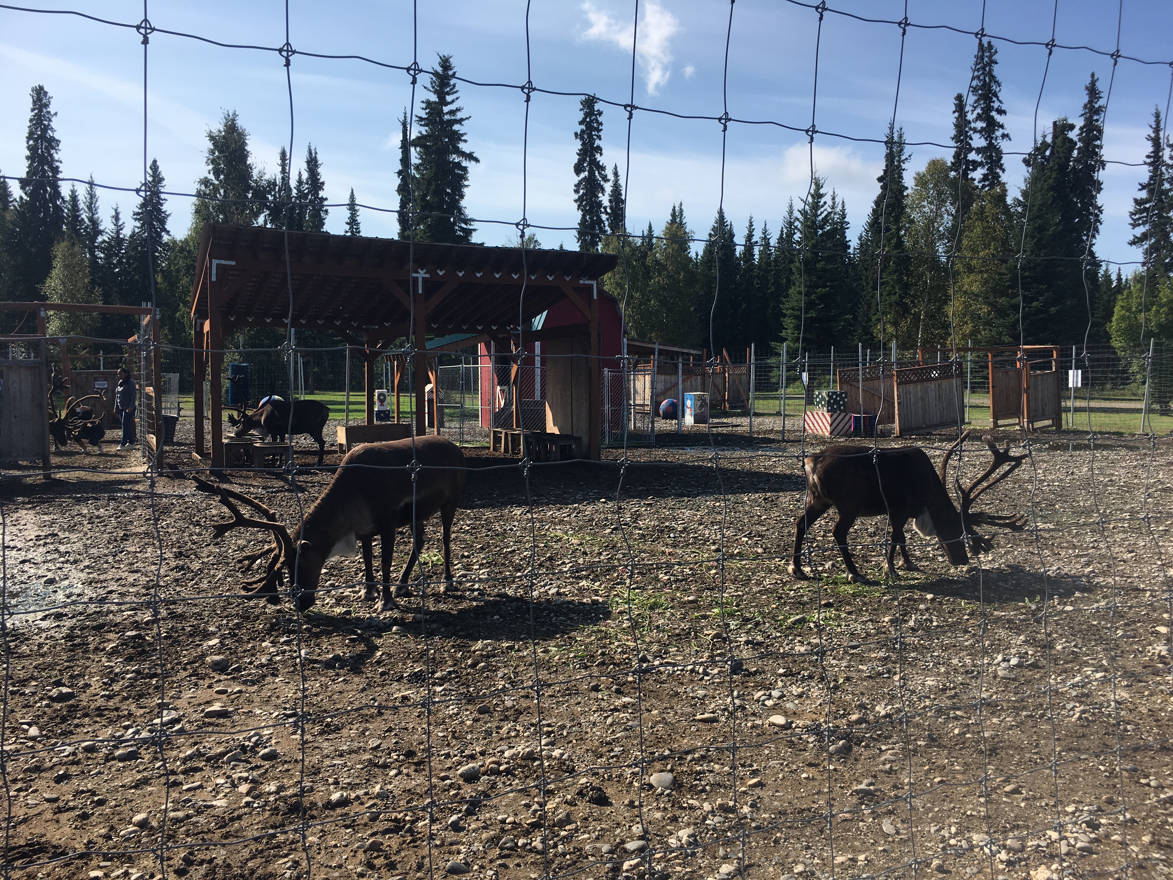
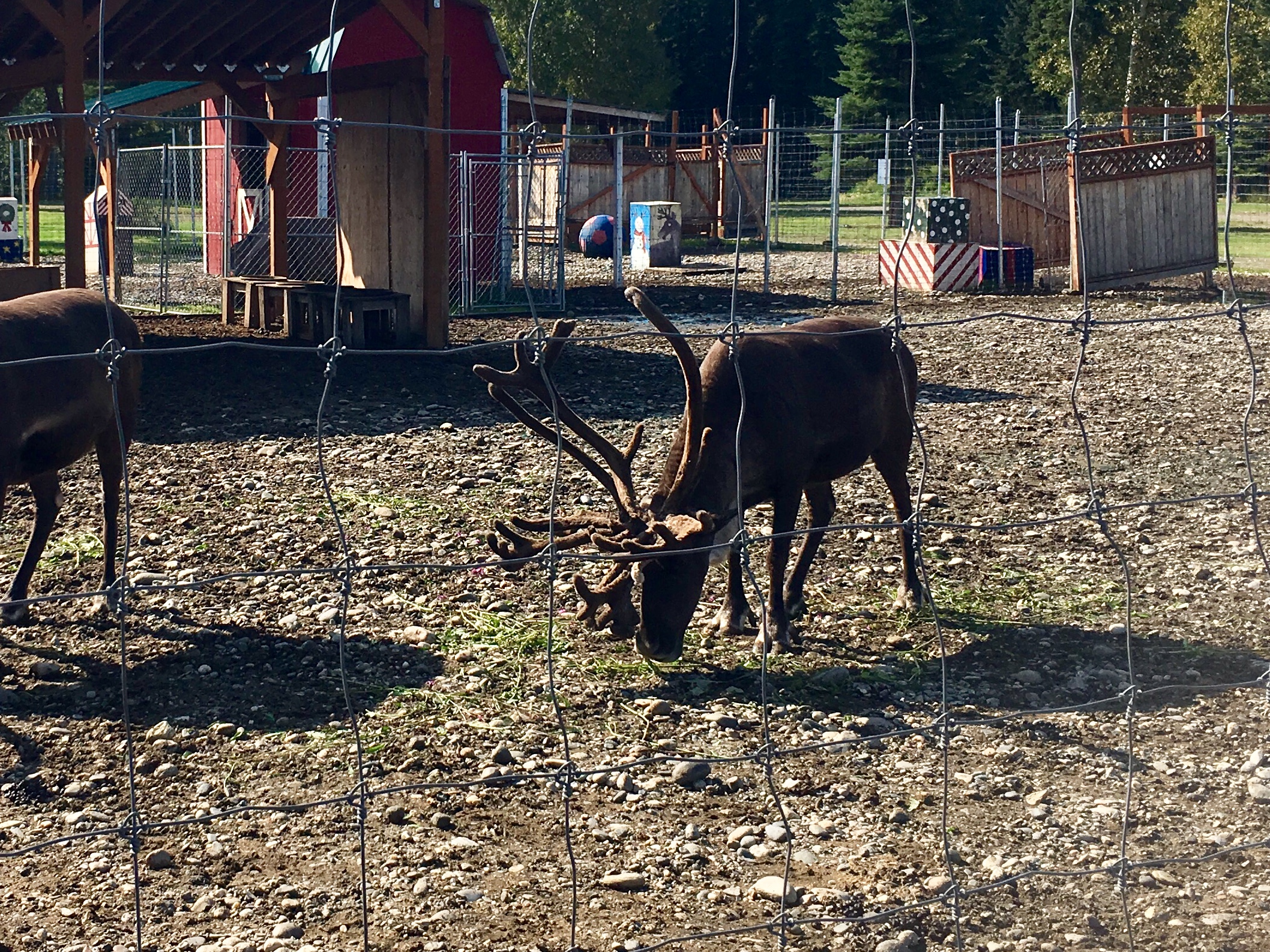
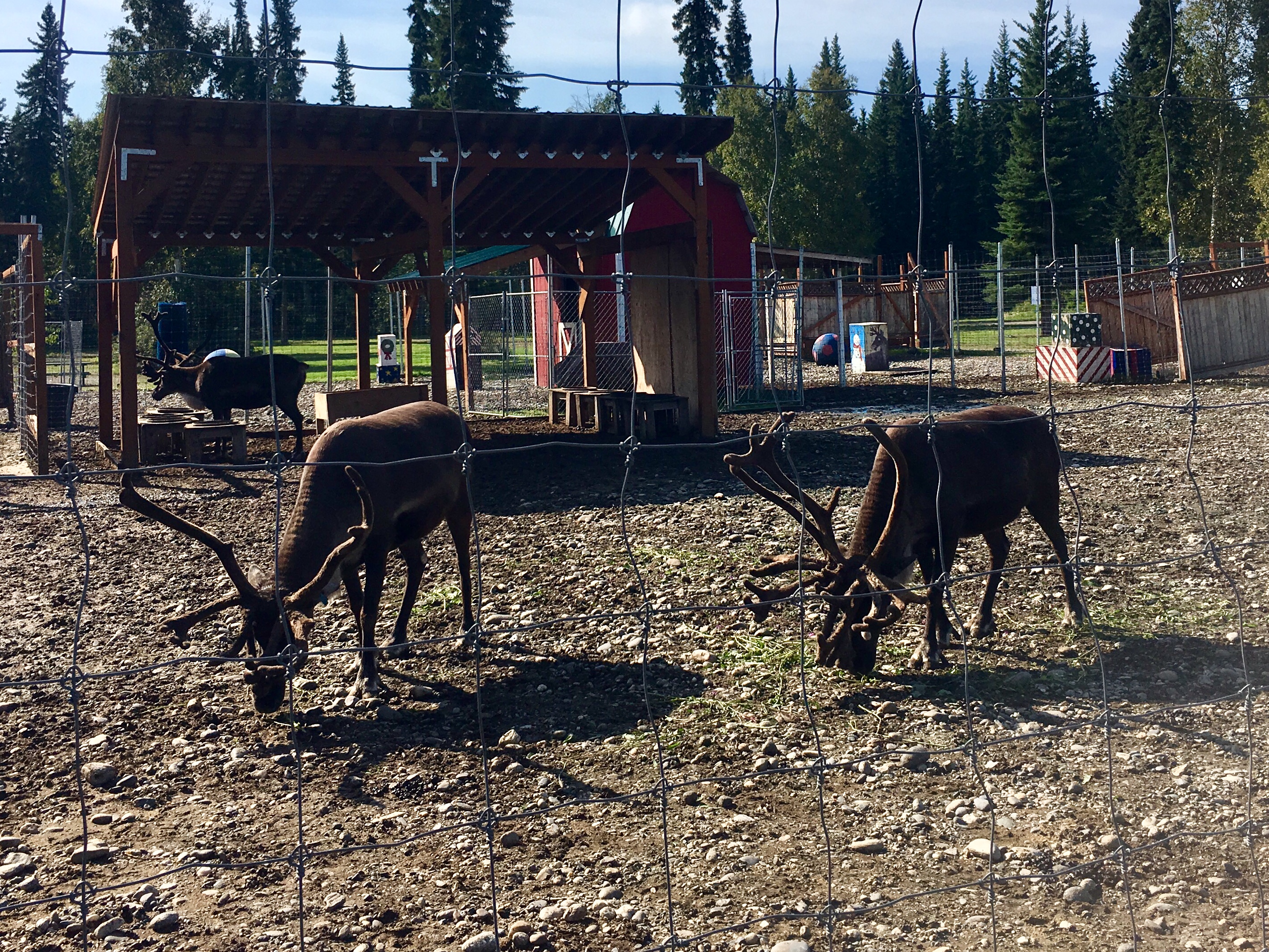
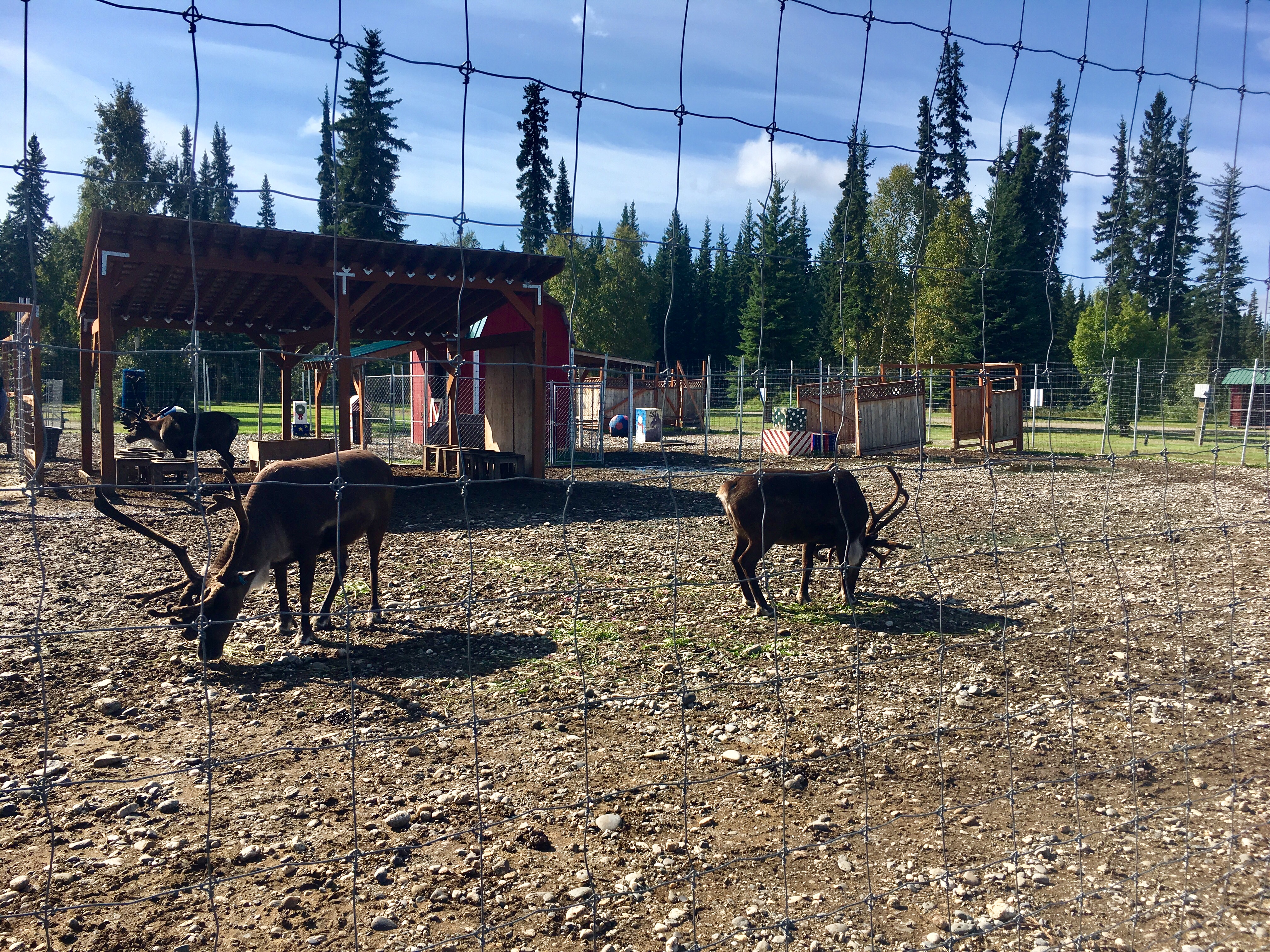
Santa’s reindeer farm!
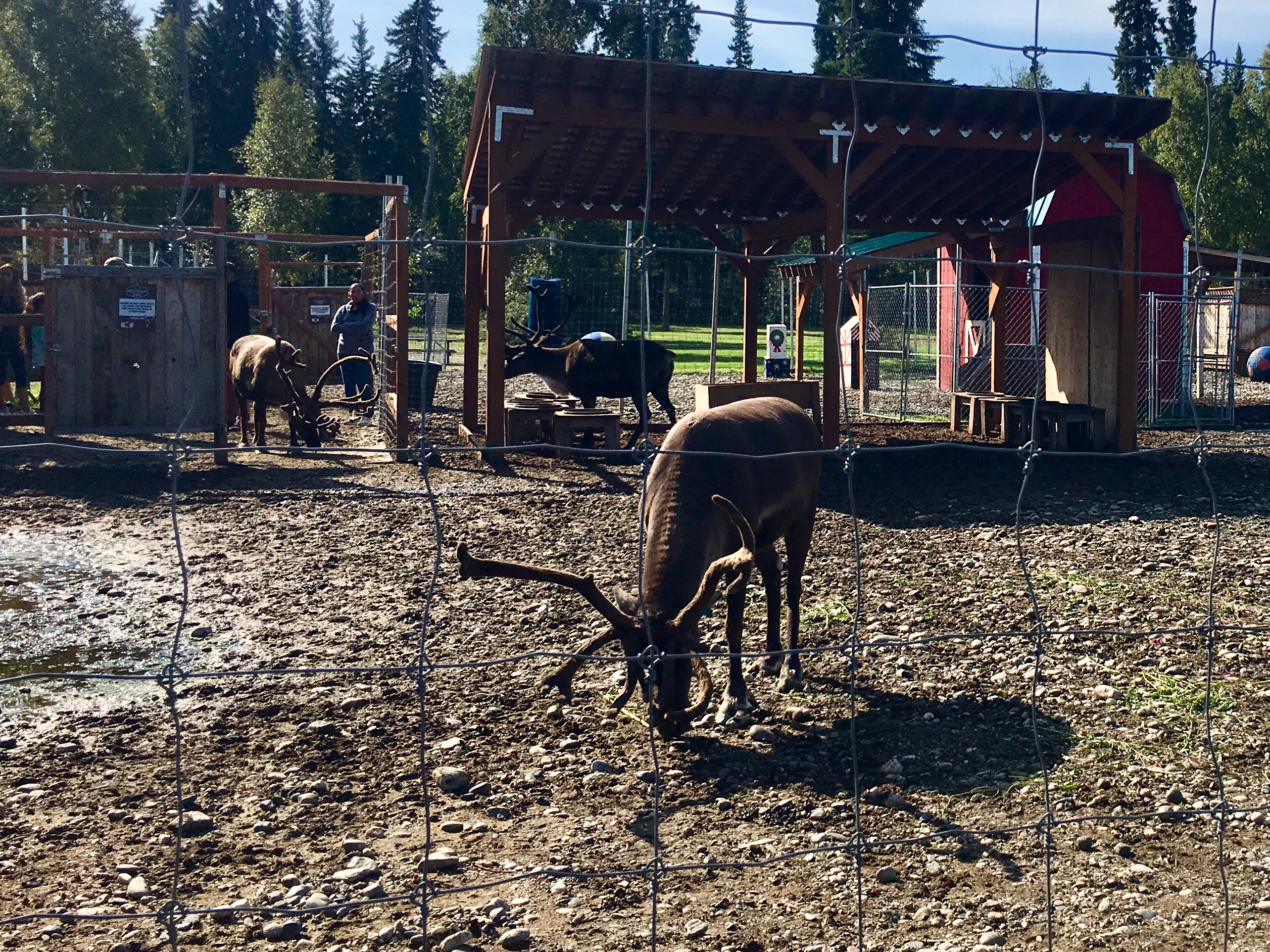
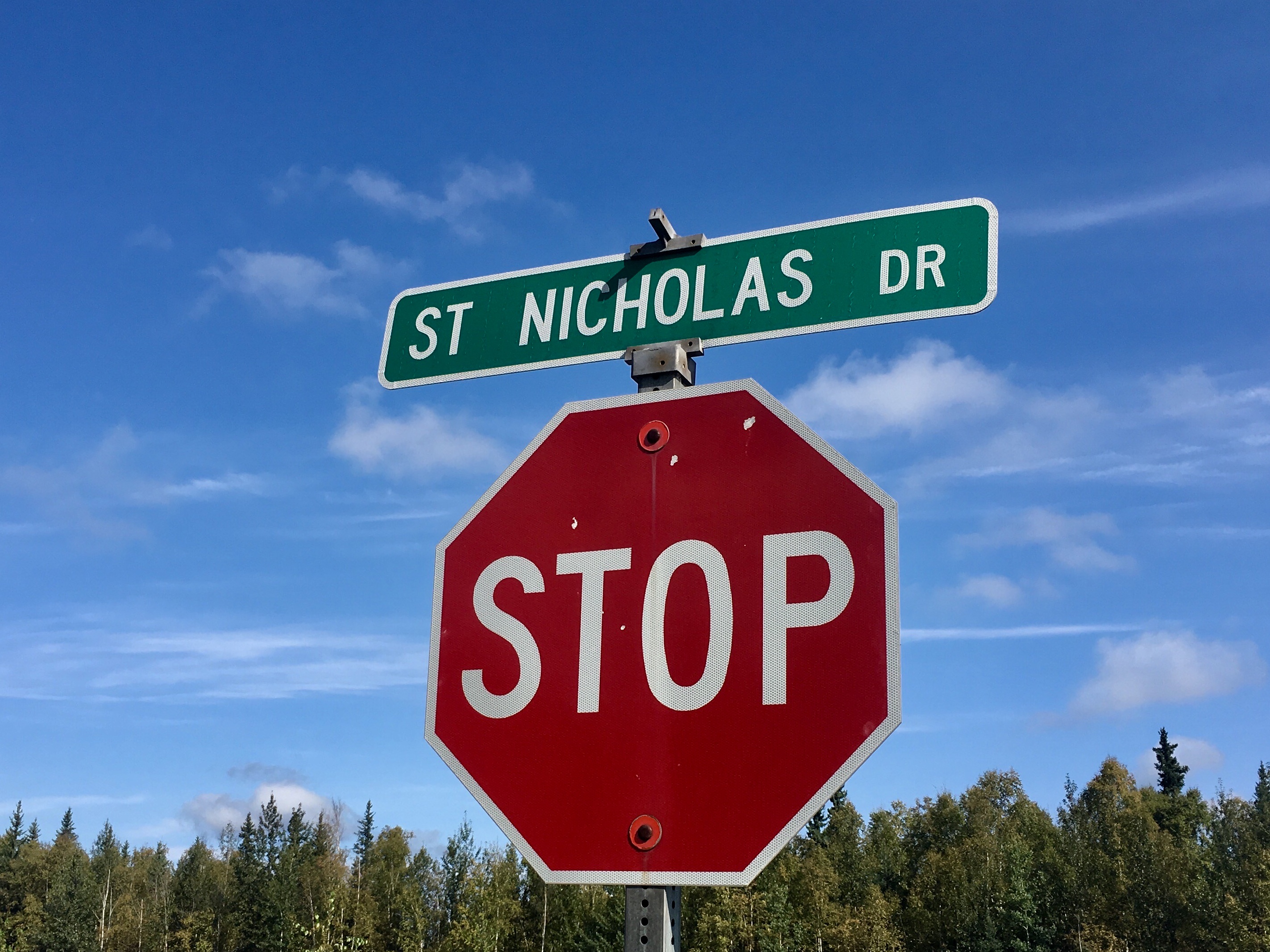
Even the street names…
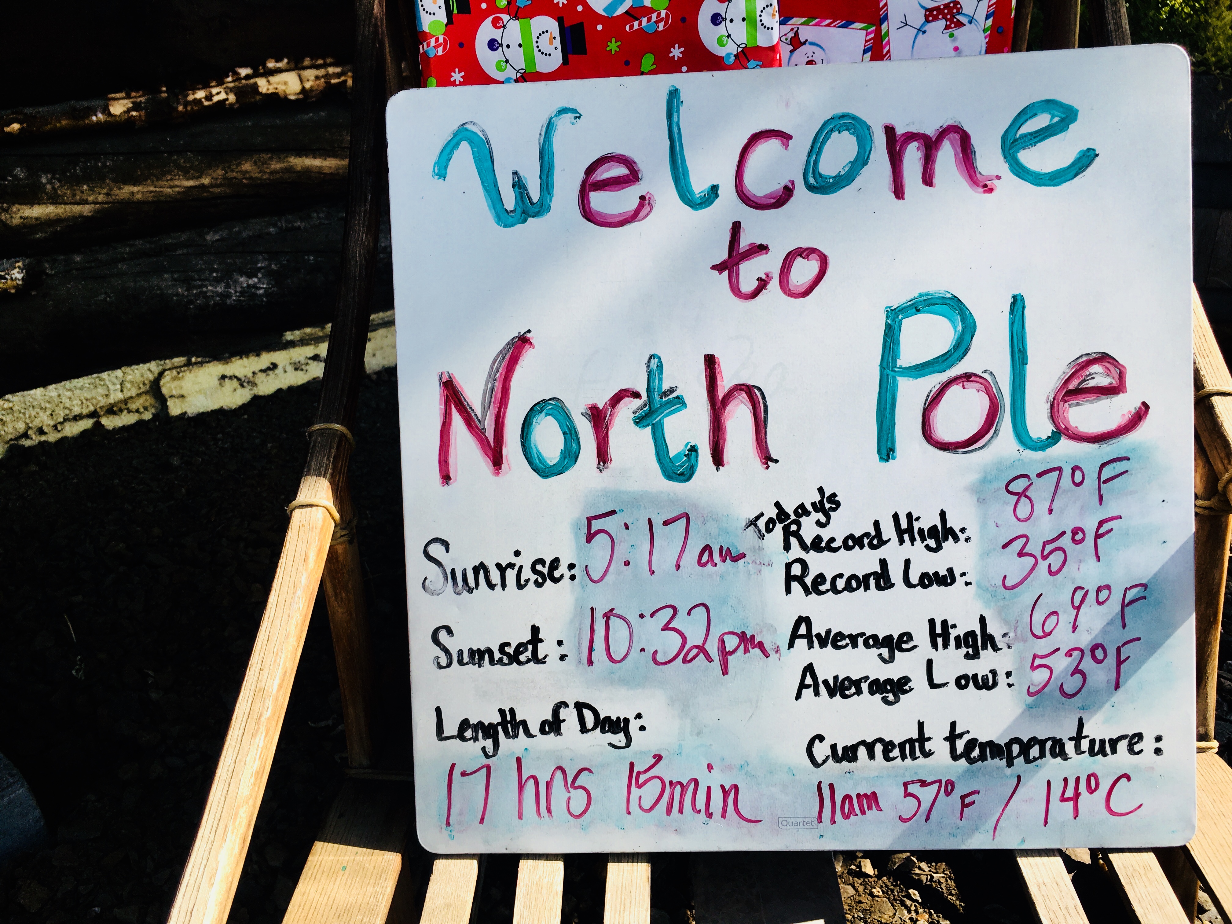
Late August and the days are still long!
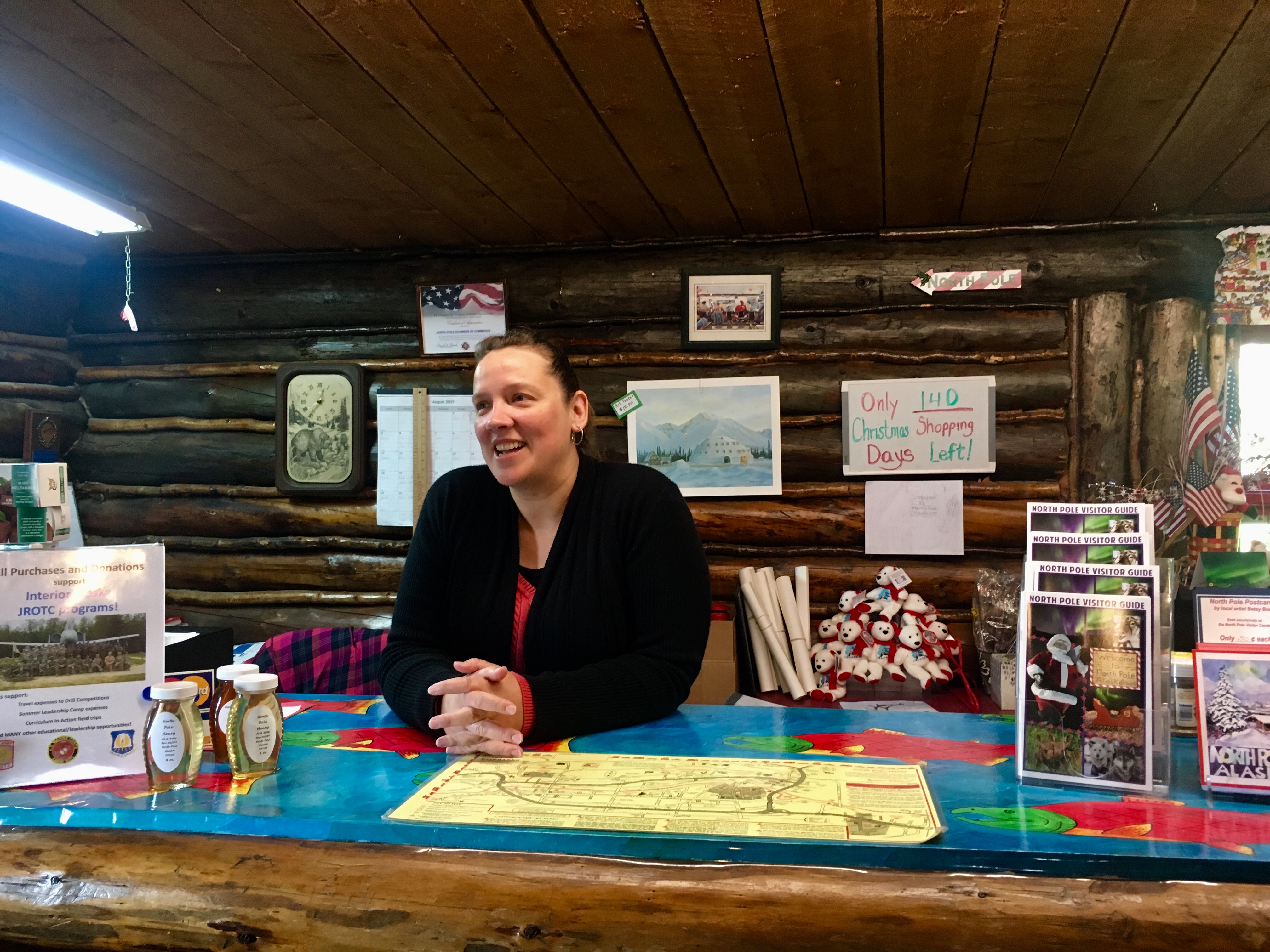
Had a great conversation with this gal who runs the local North Pole visitors center. Located in an old log cabin with a sod roof.
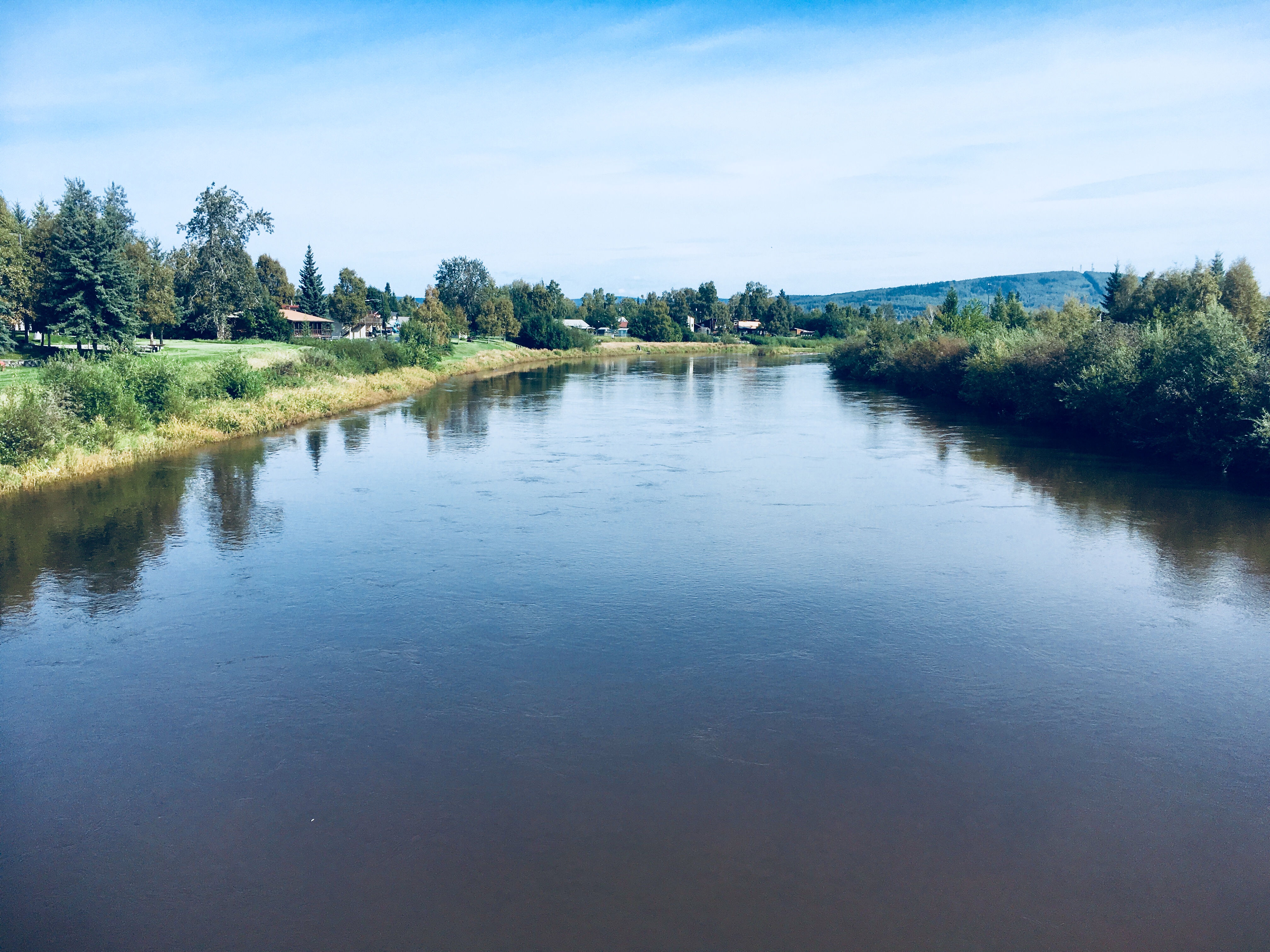
In 1967, much of Fairbanks was flooded due to heavy rains that fell in mid August causing the Chena river to overflow its banks. So they undertook a massive flood control project to build a several mile long flood plain up stream to control any future overflows of the river.
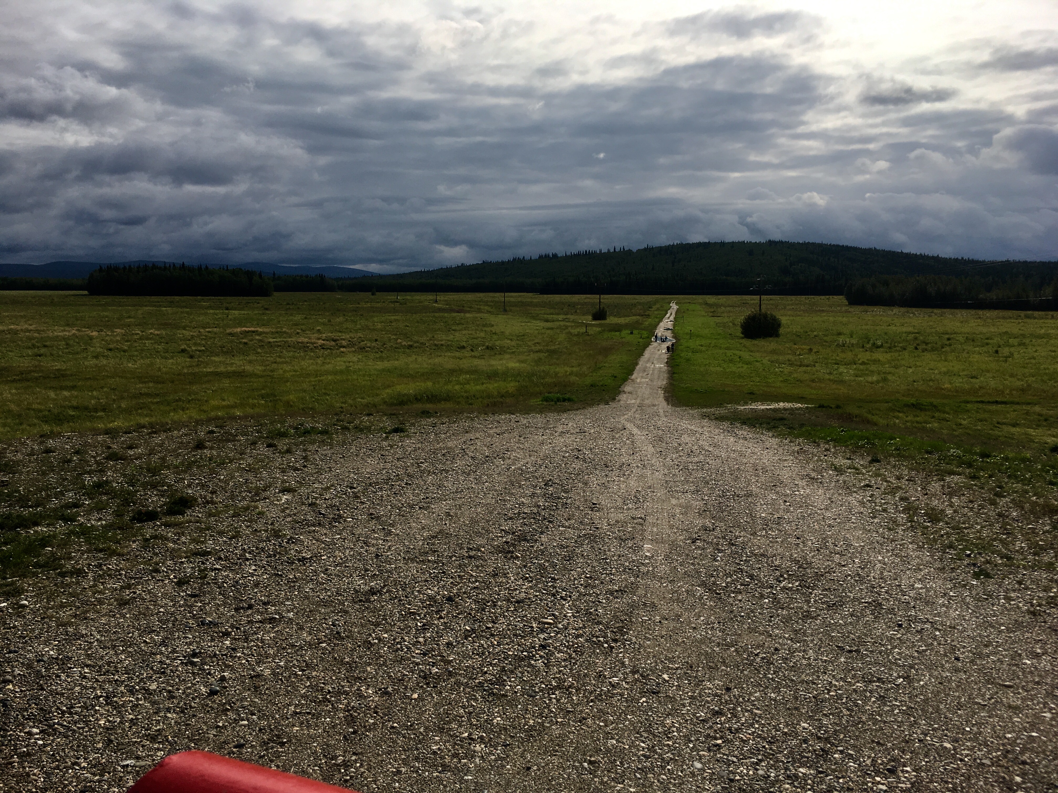
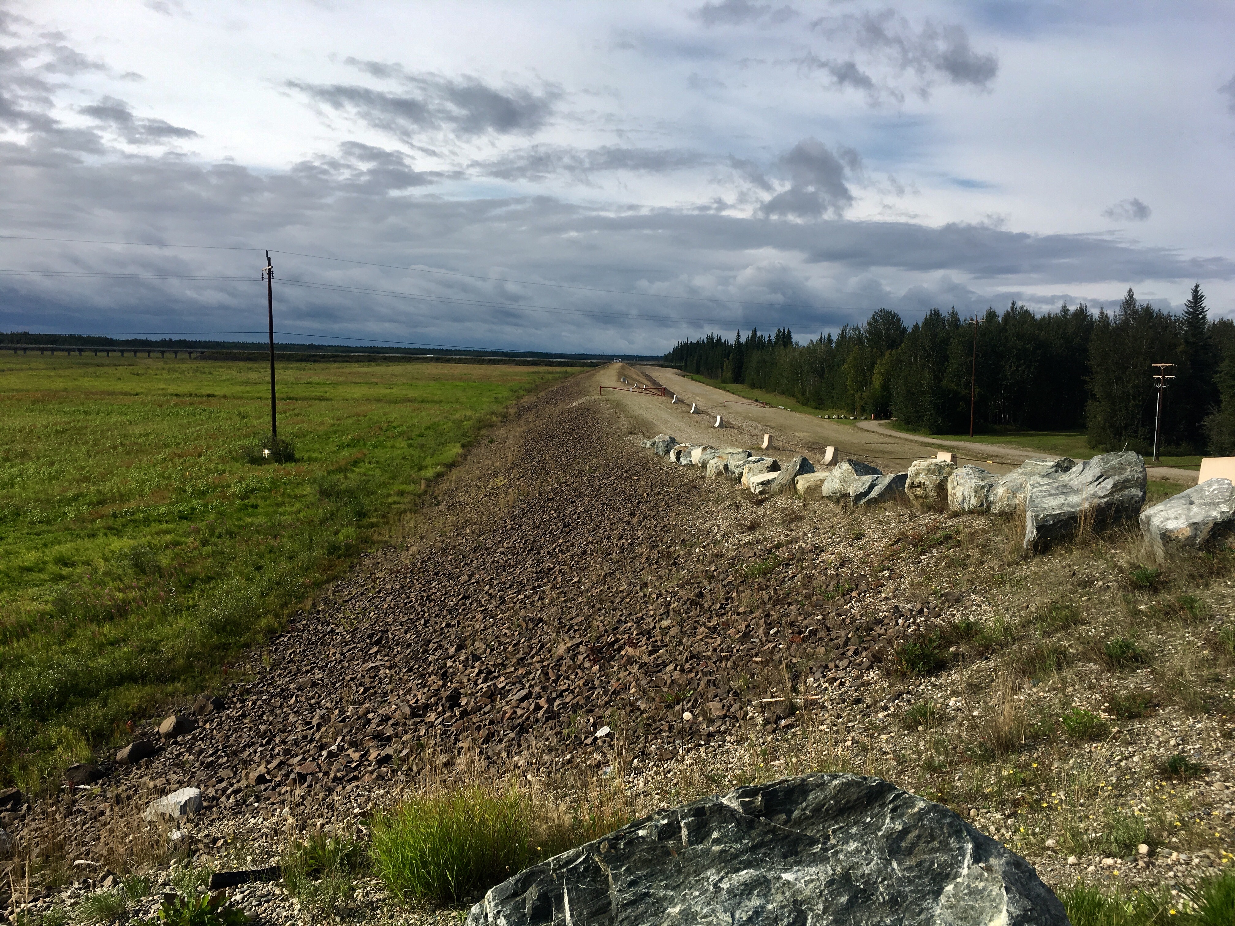
On top of the dike. Interesting that it was August and raining like crazy and we were visiting a flood control project built as a result of an August flood.
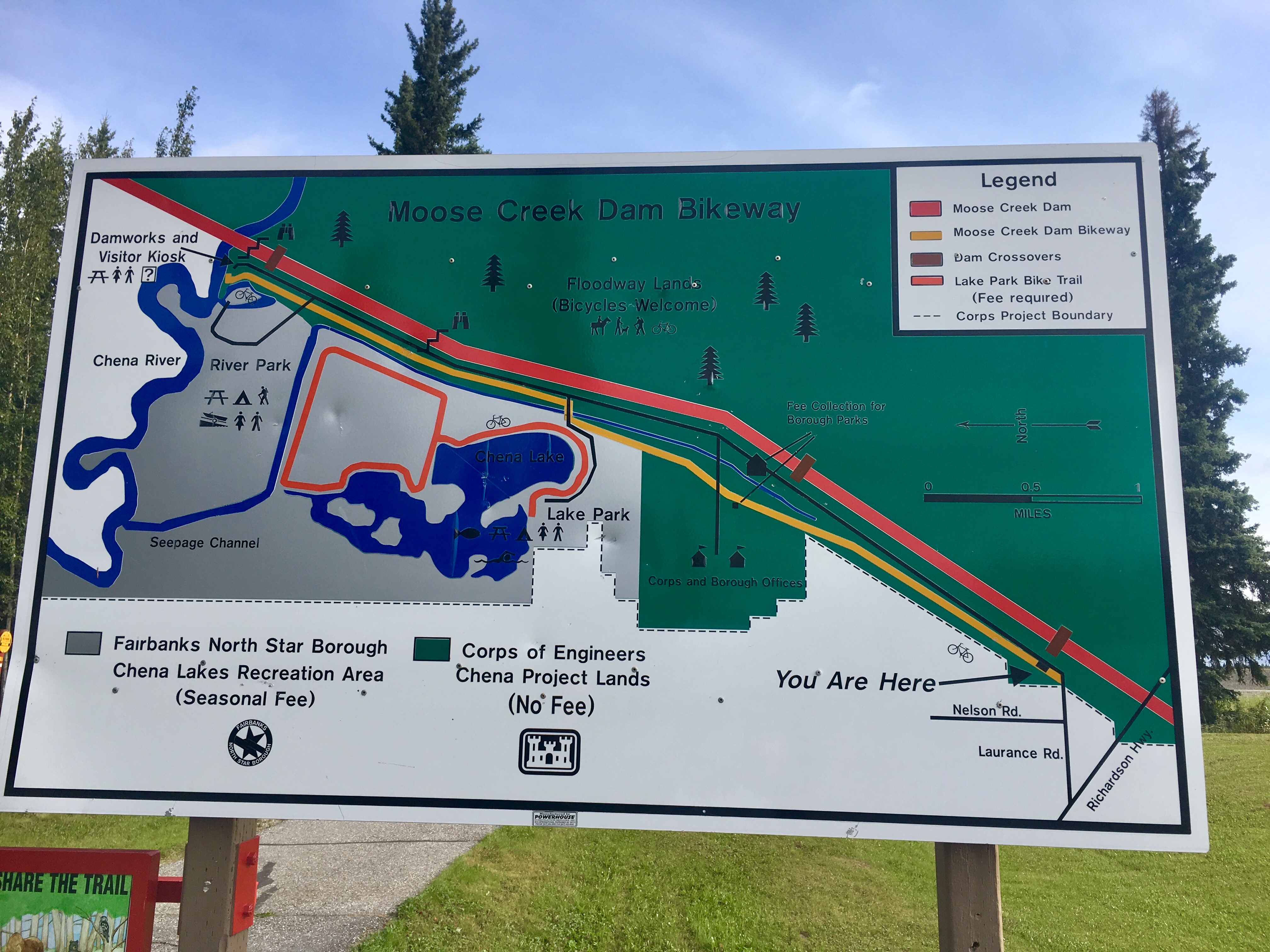
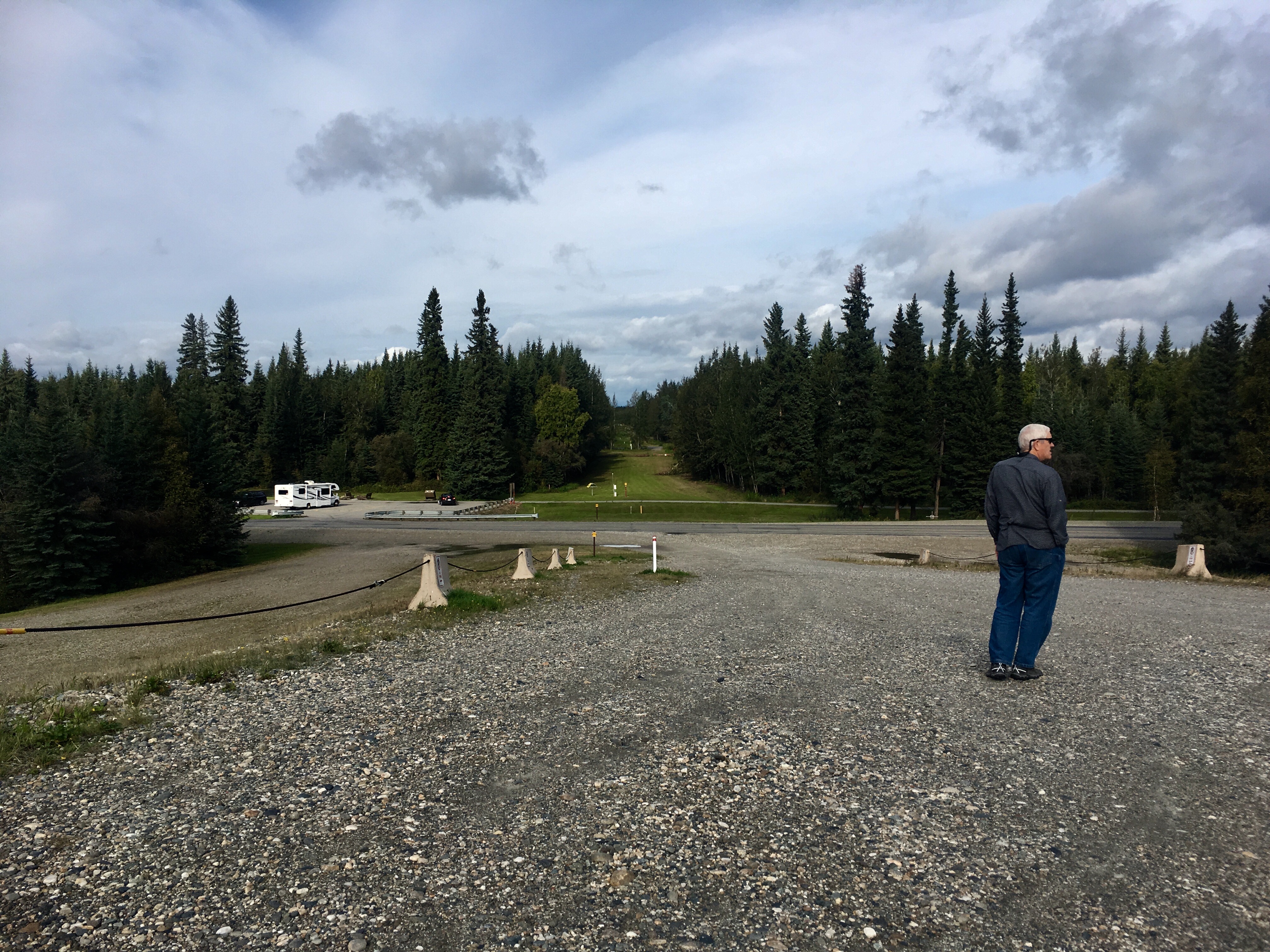
This map shows the extent of the dike and the flood control system. One side benefit is that several large recreation areas and campgrounds were created during the dike construction effort.
But if not…
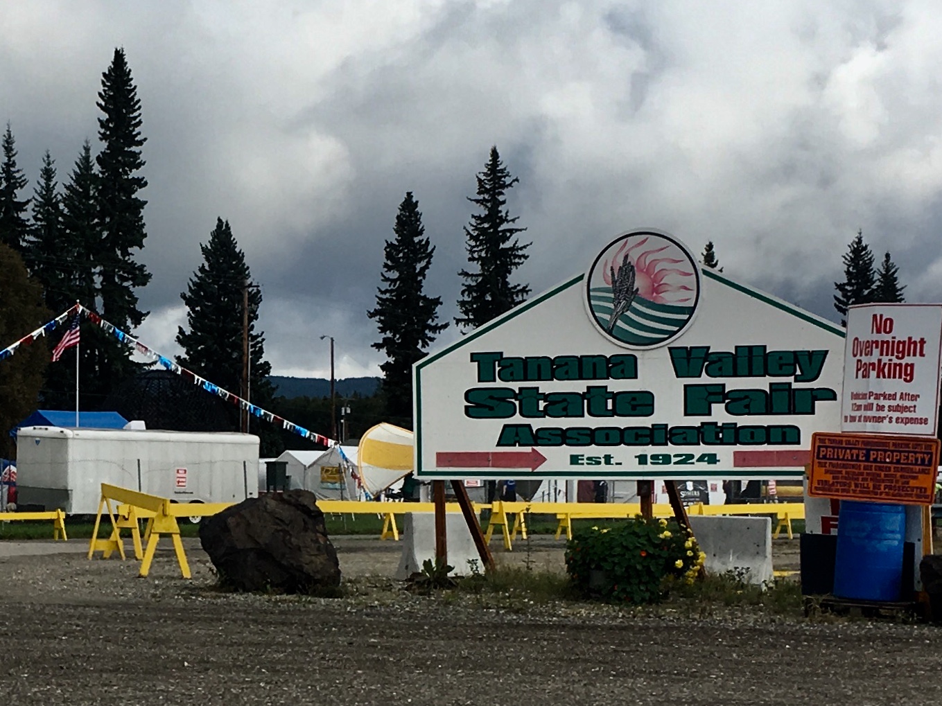
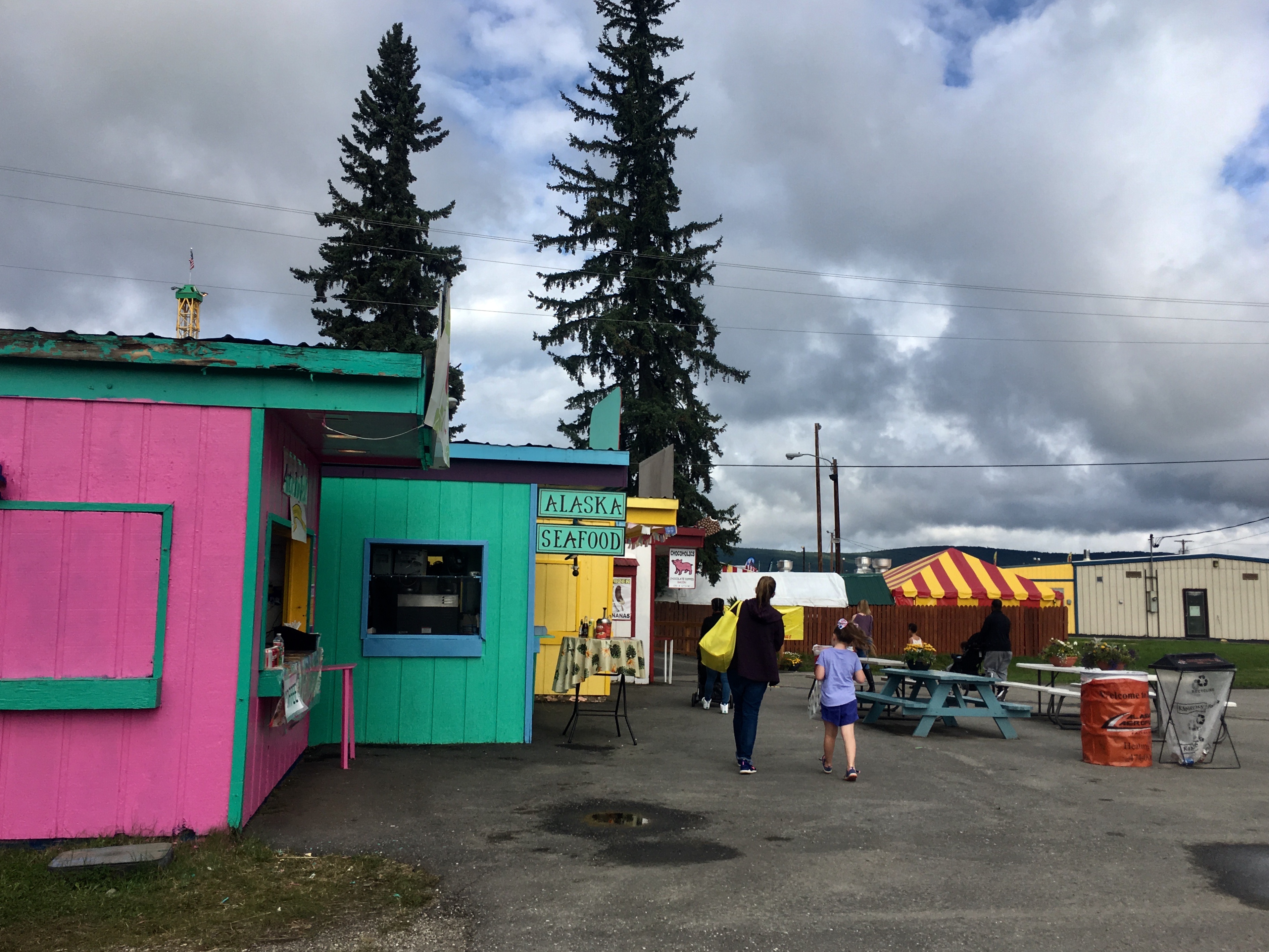
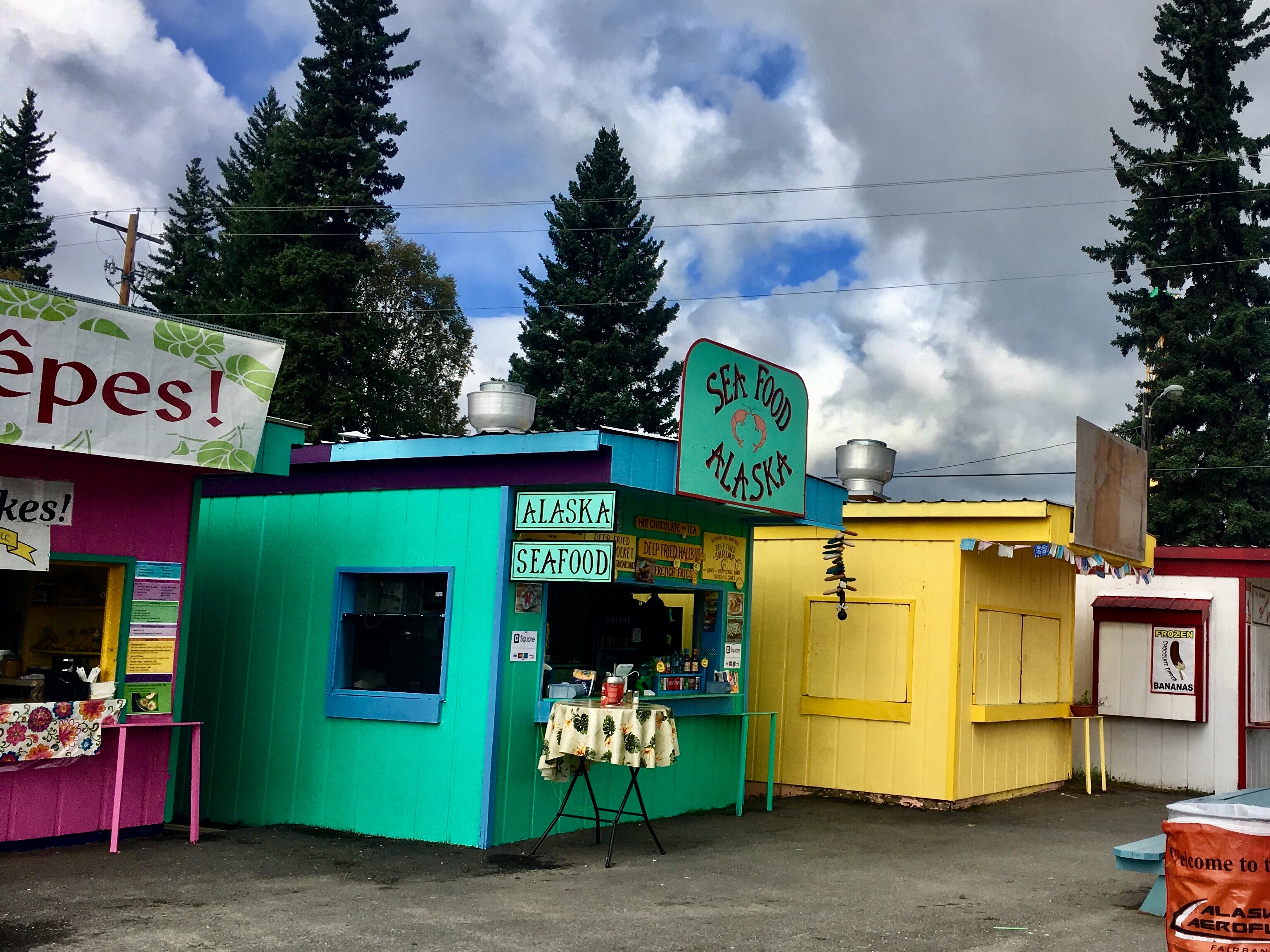
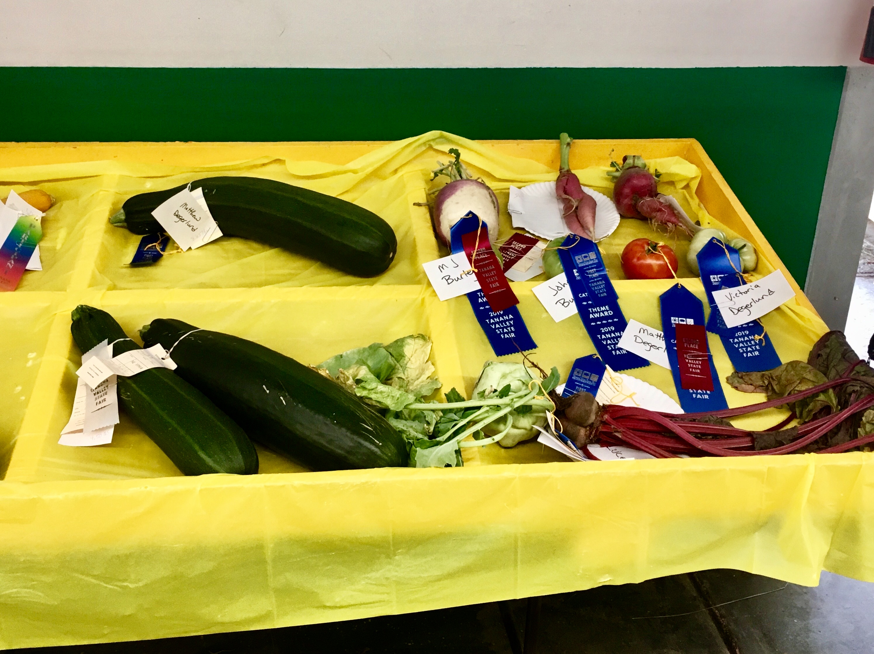
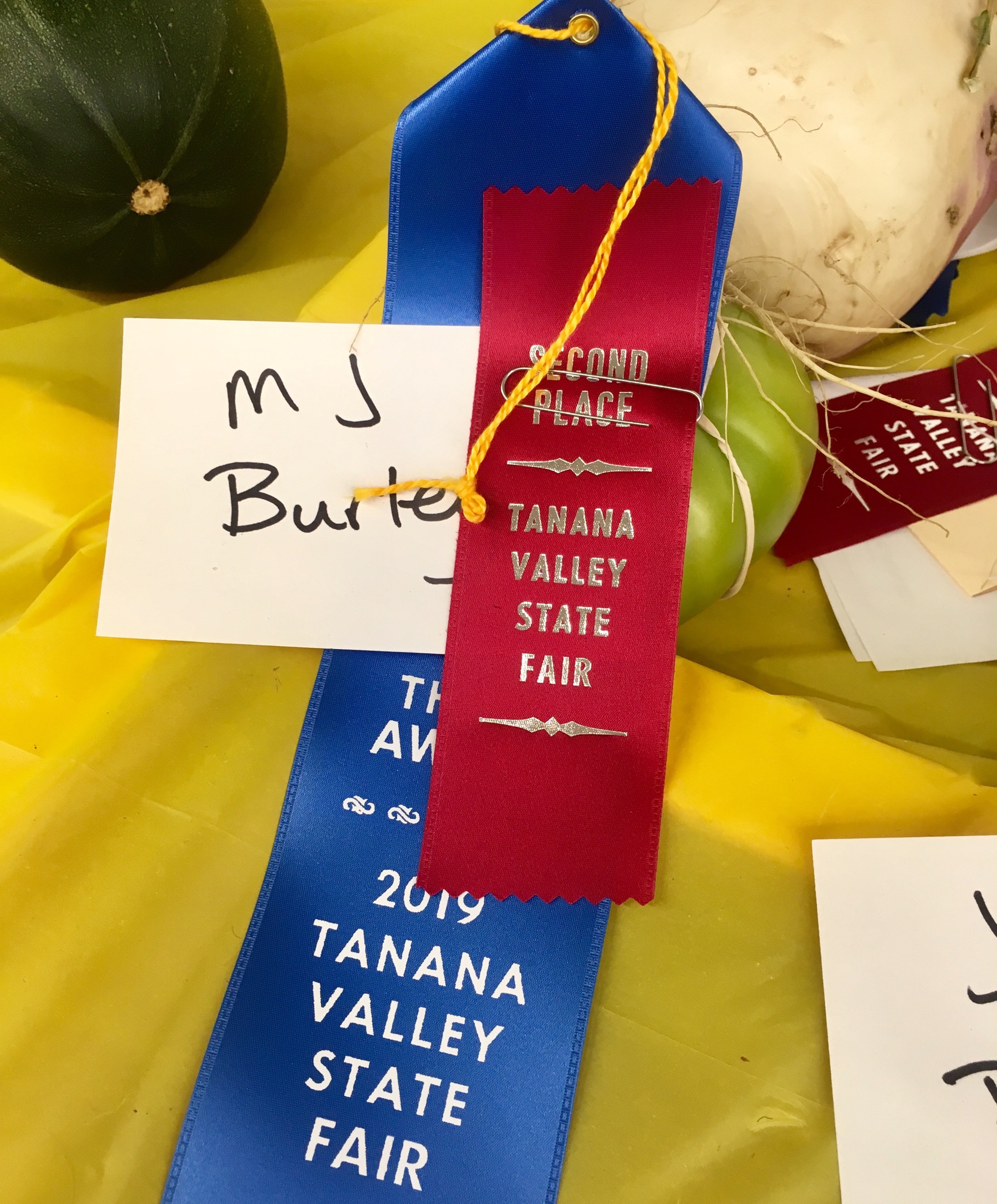
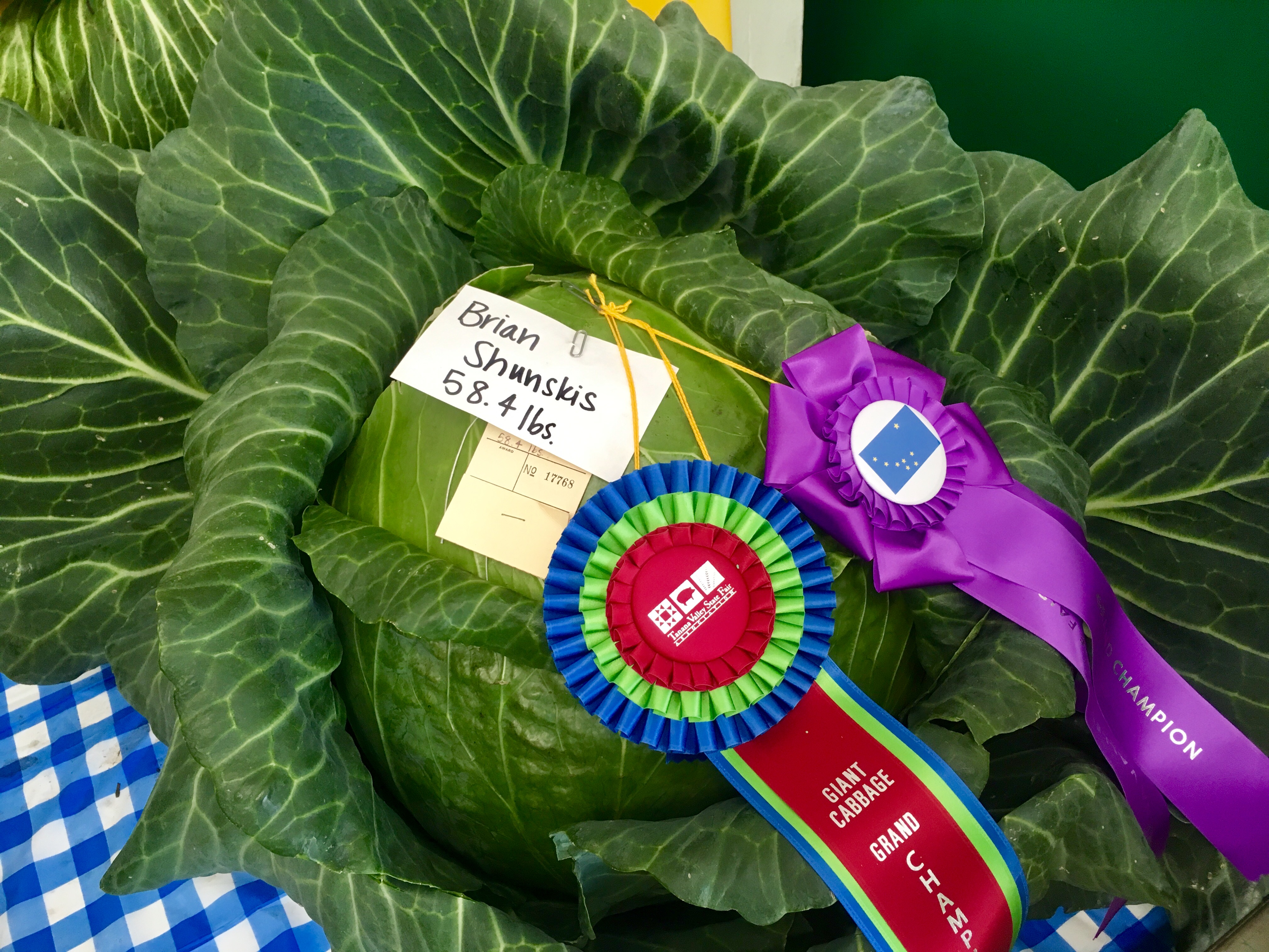
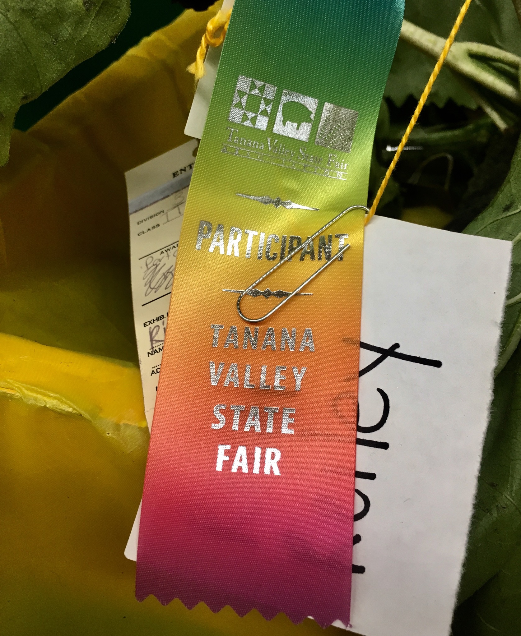
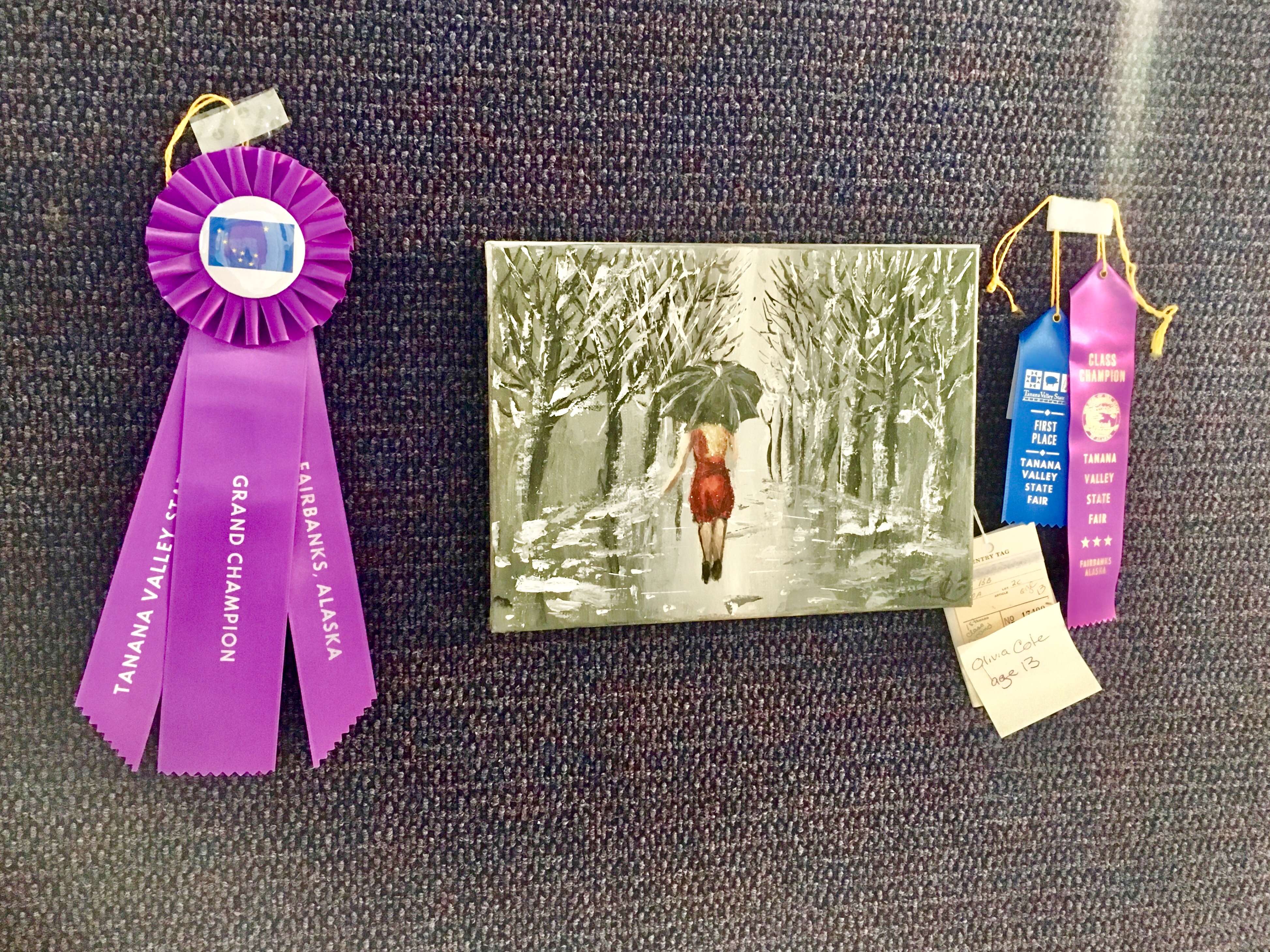
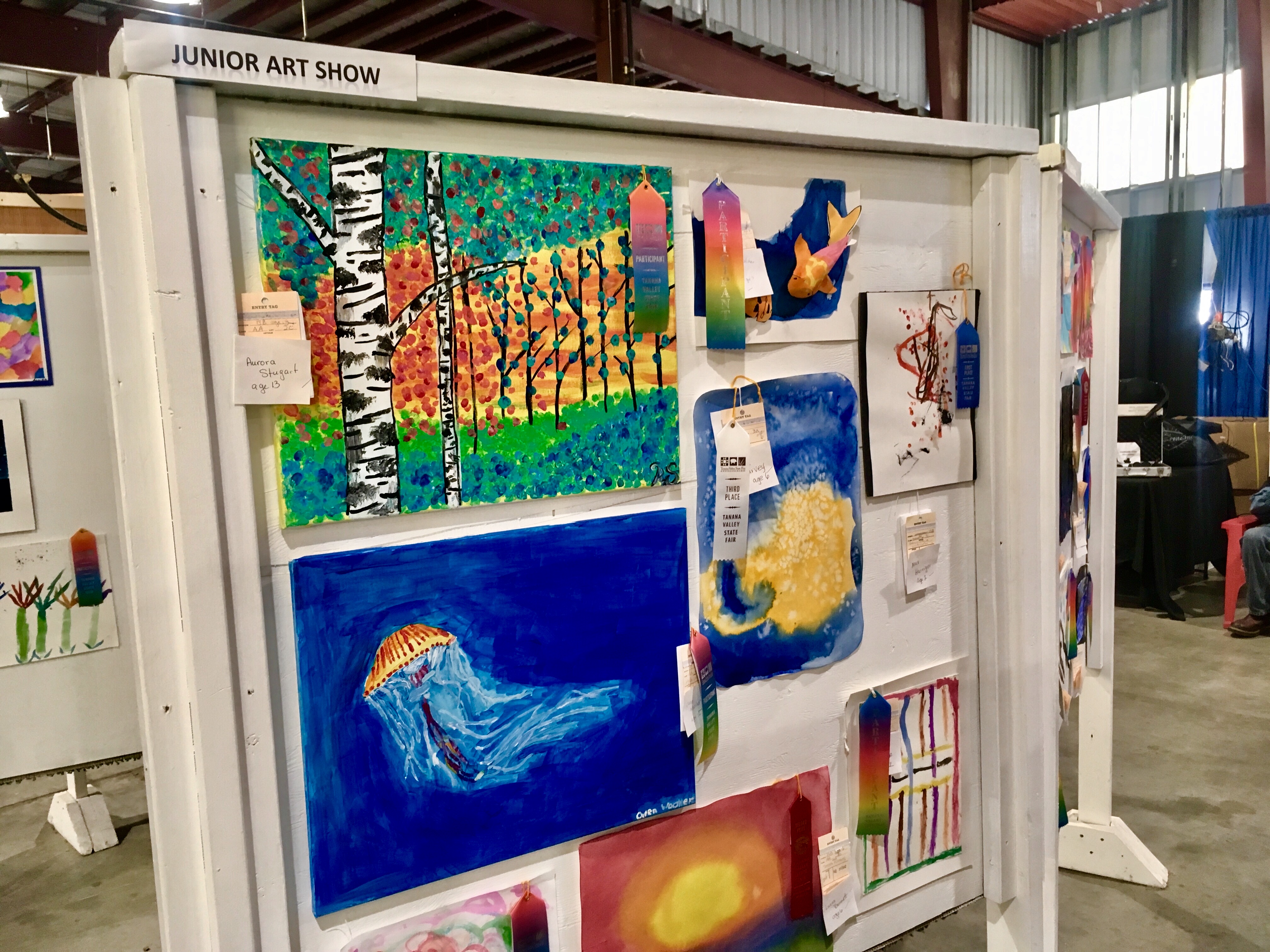
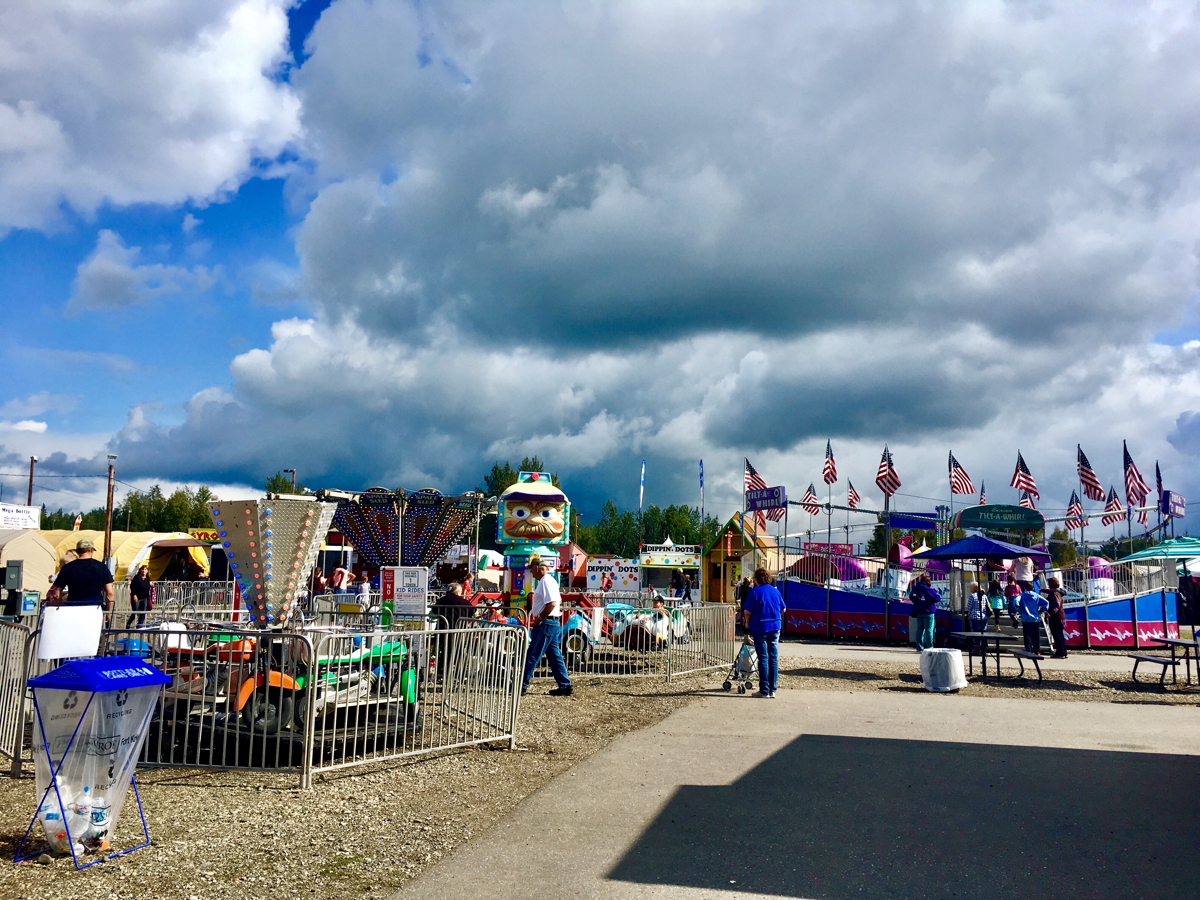
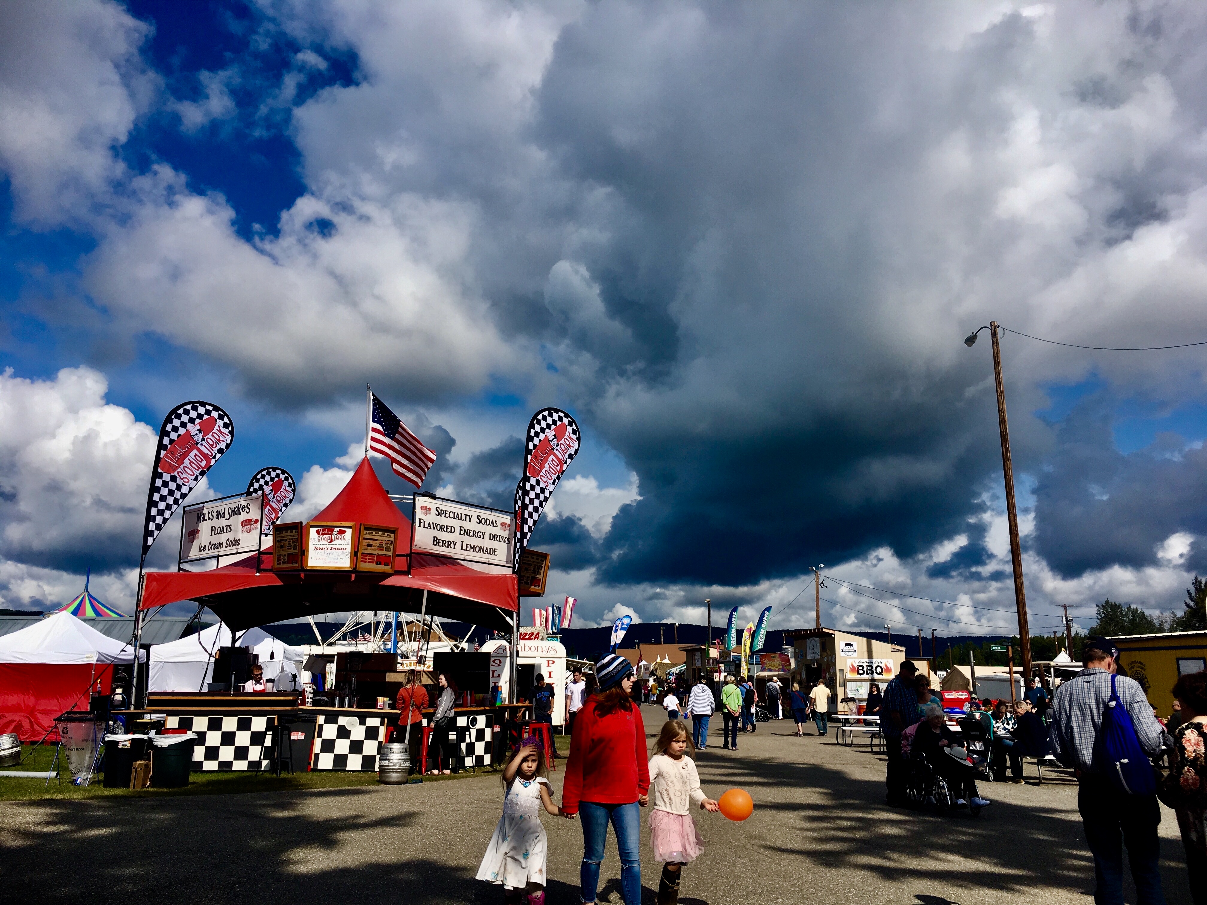
There are 2 major state fairs in Alaska each summer, one in Tanana just north of Fairbanks and the other, larger one, in Palmer. We wanted to go to one of them to see the giant vegetables that grow in the 24 hr Alaska sunshine, so we went to the Tanana fair while we were up in Fairbanks.
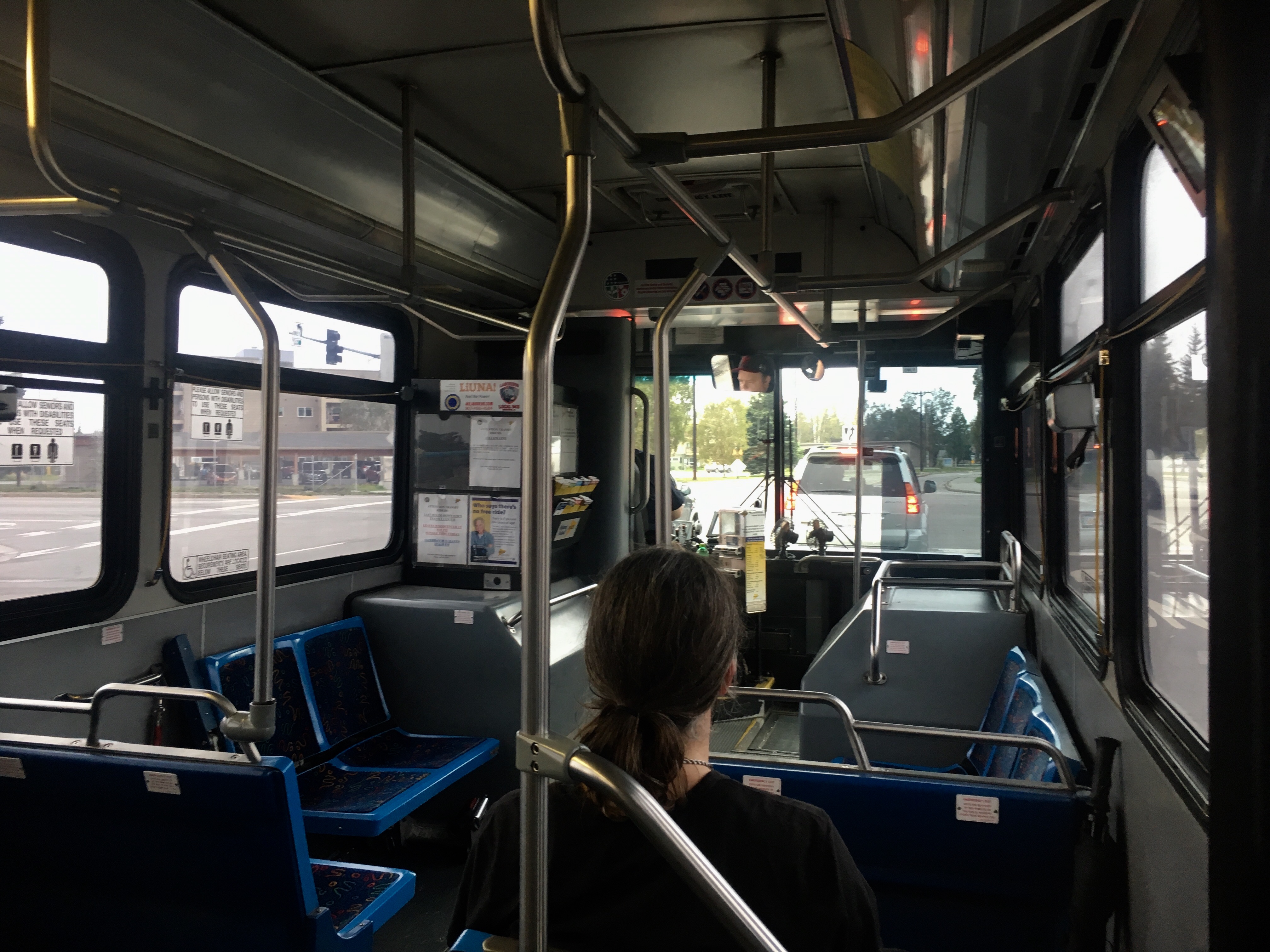
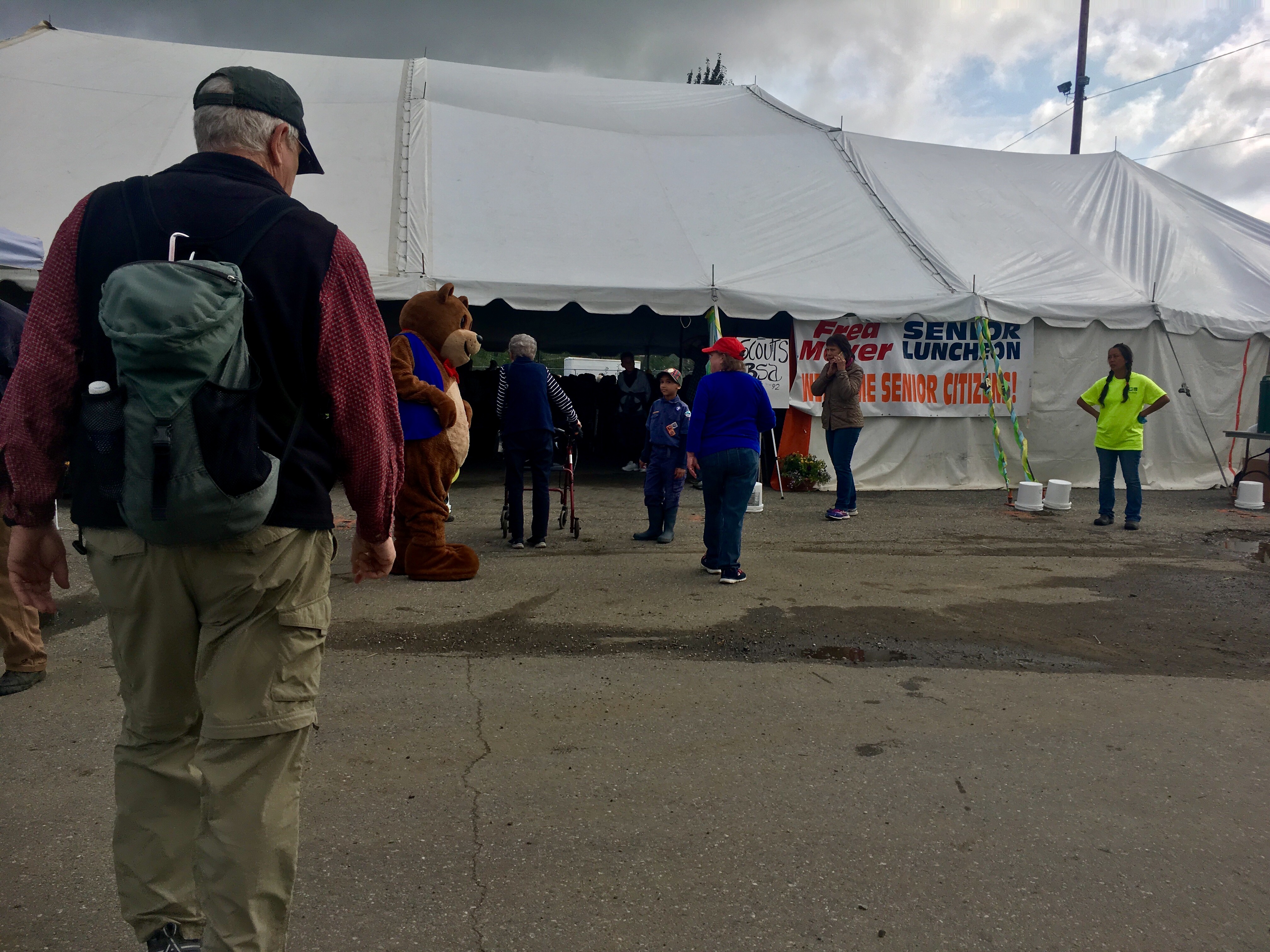
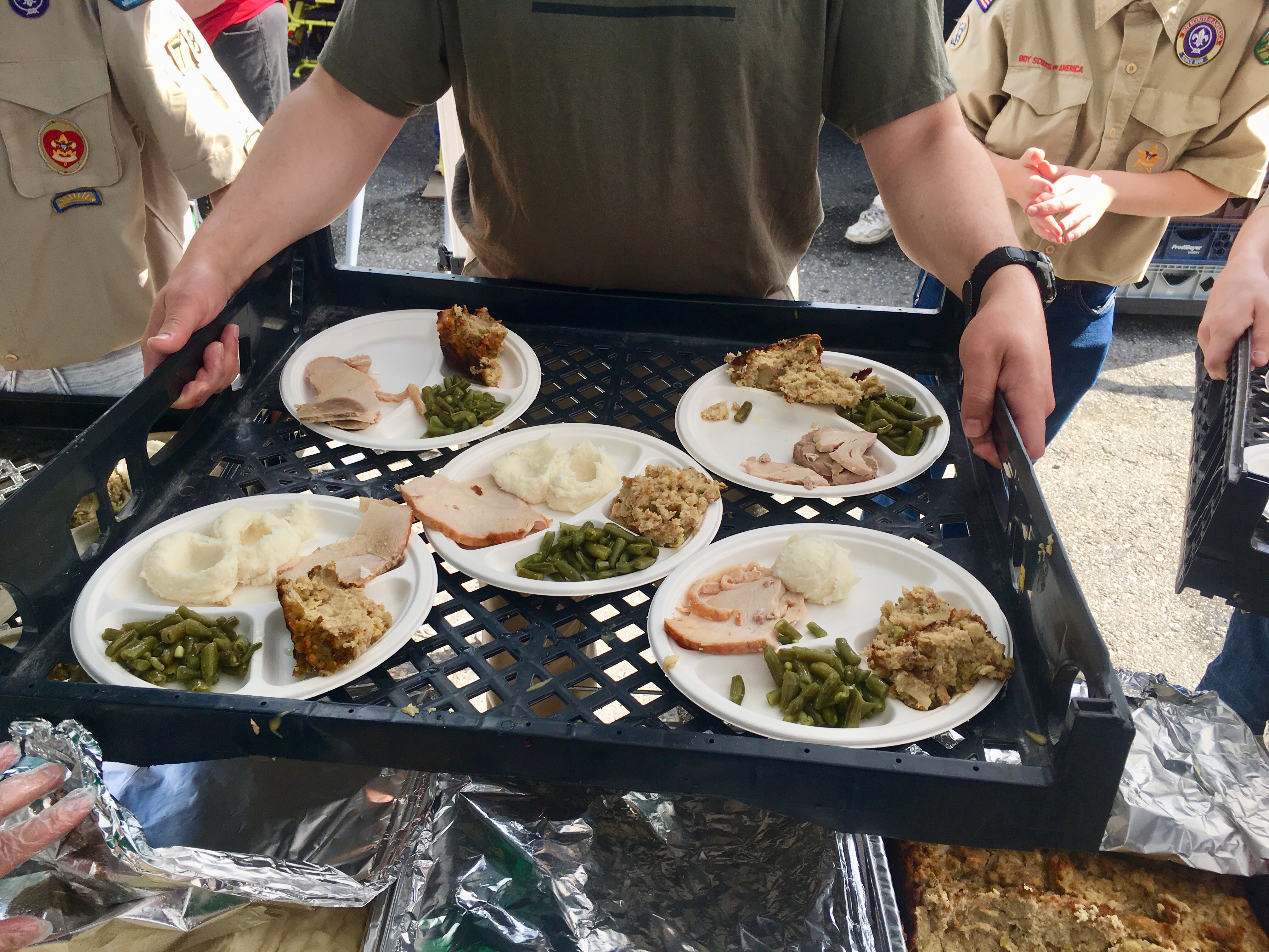
Fairbanks has a great bus system, free to seniors, that goes from Pioneer Park where we were parked and the fairgrounds. Even better, the fair had senior day on Wed so we got into the fair free and then enjoyed a free lunch sponsored by the Fred Myer grocery store.
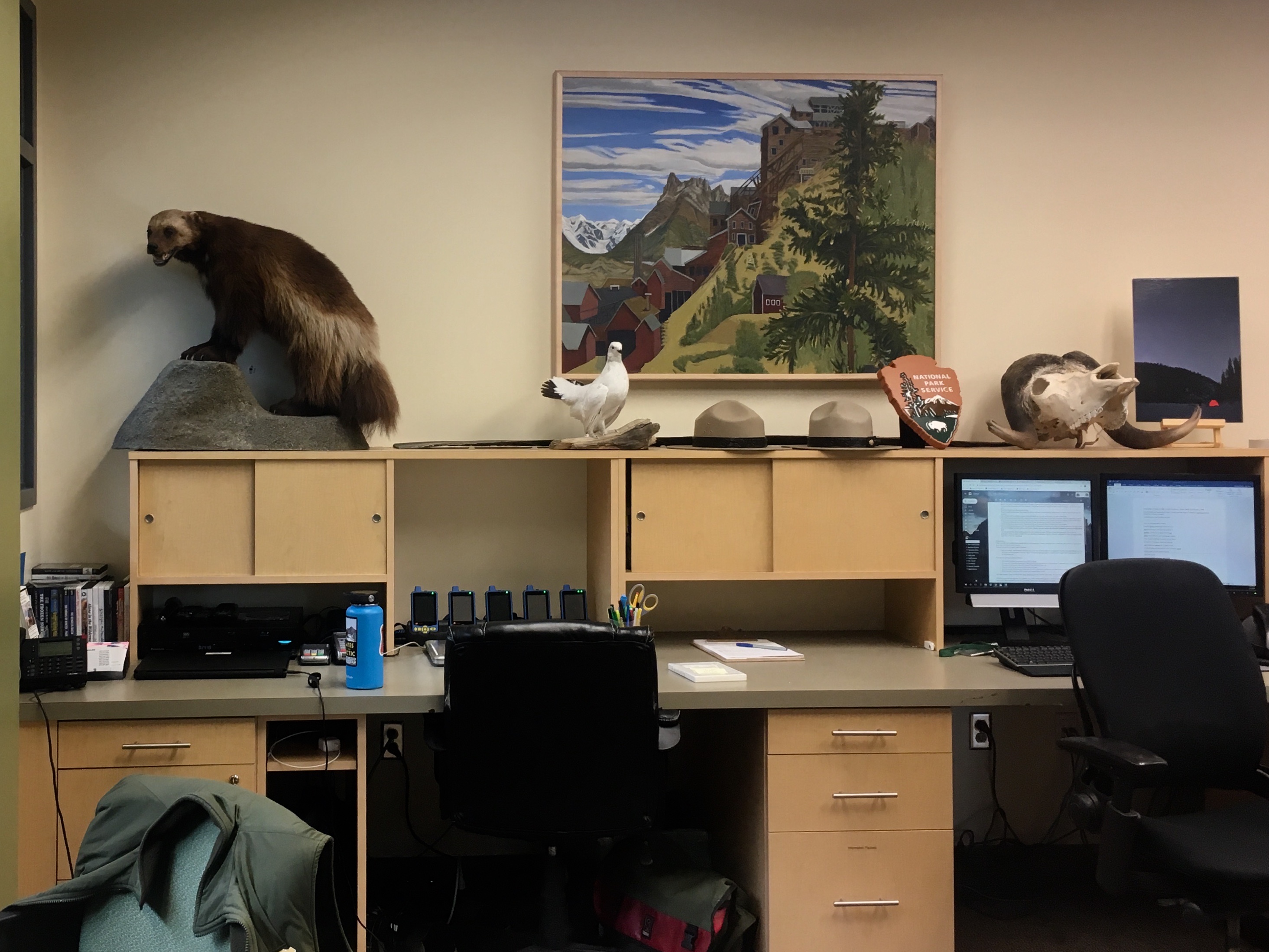
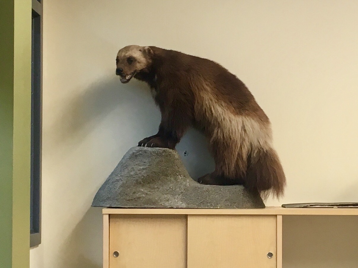
A wolverine! One of the few animals we never saw in the wild.
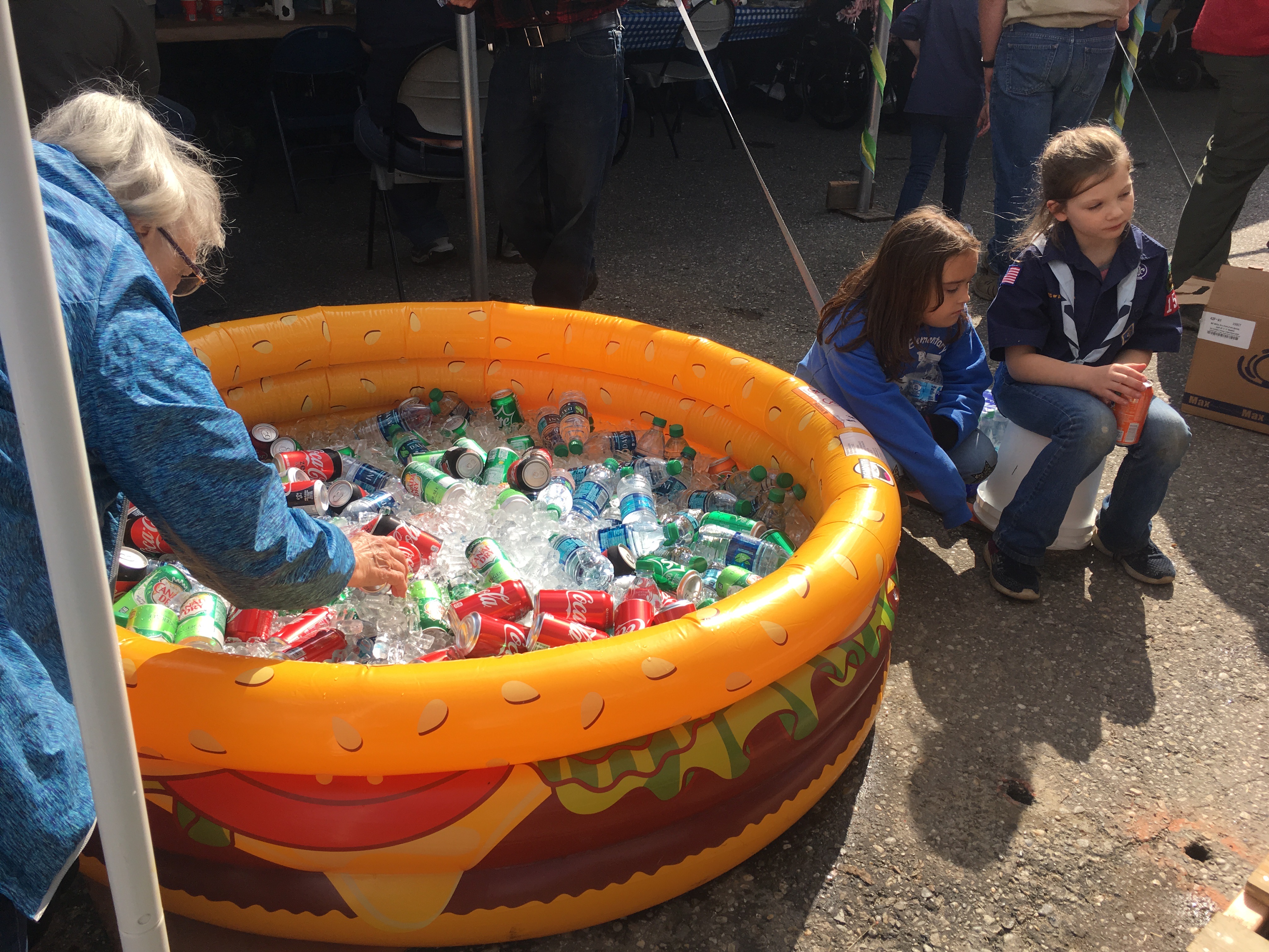
Local cooler!
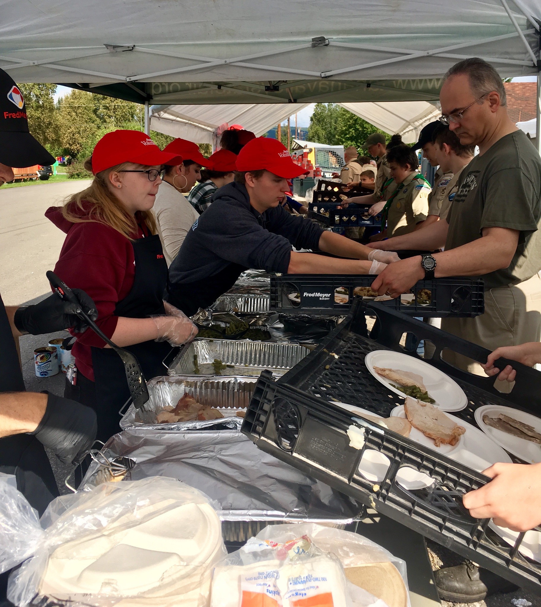
Serving up the free lunch. Turkey and all the trimmings!
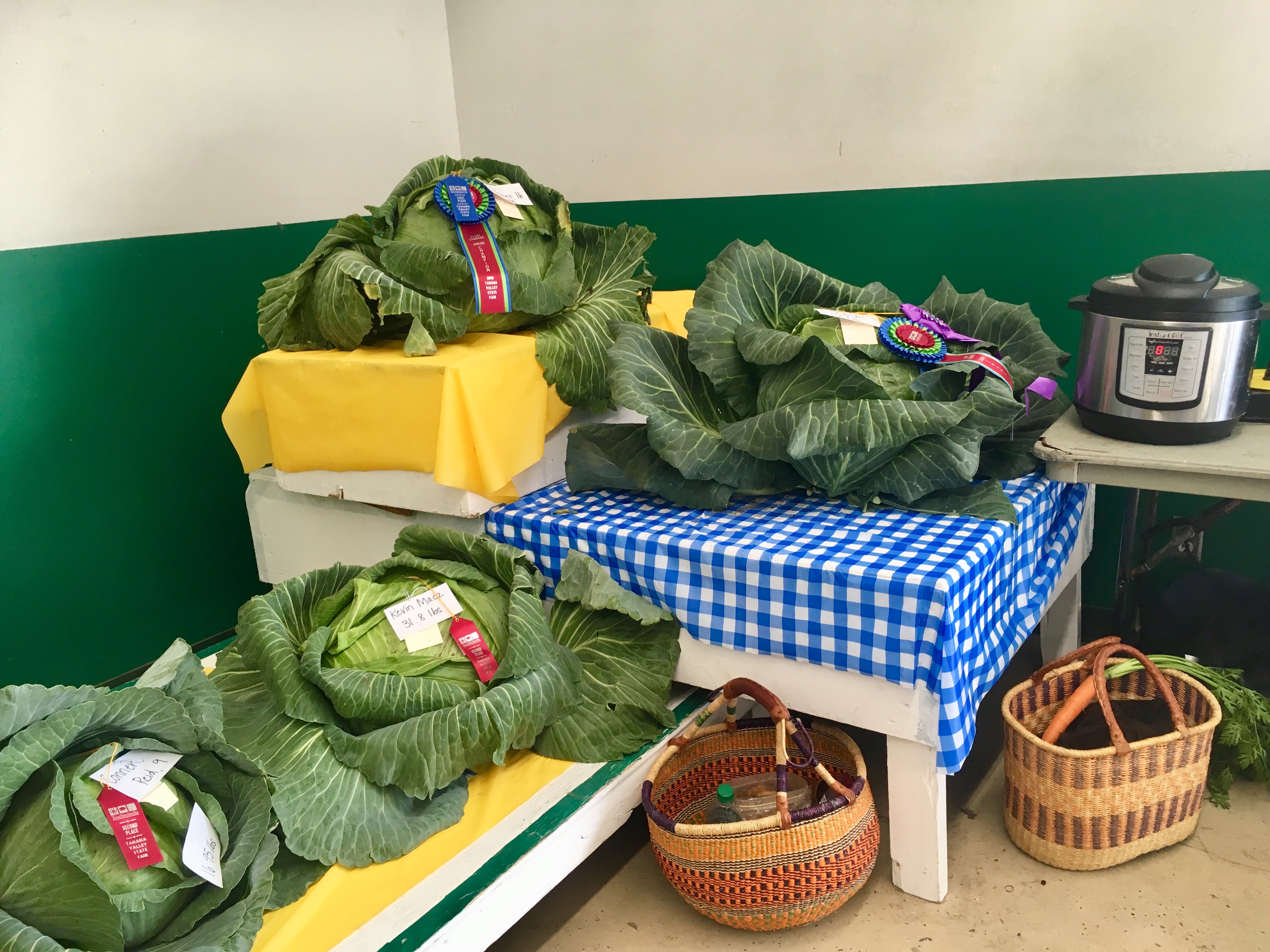
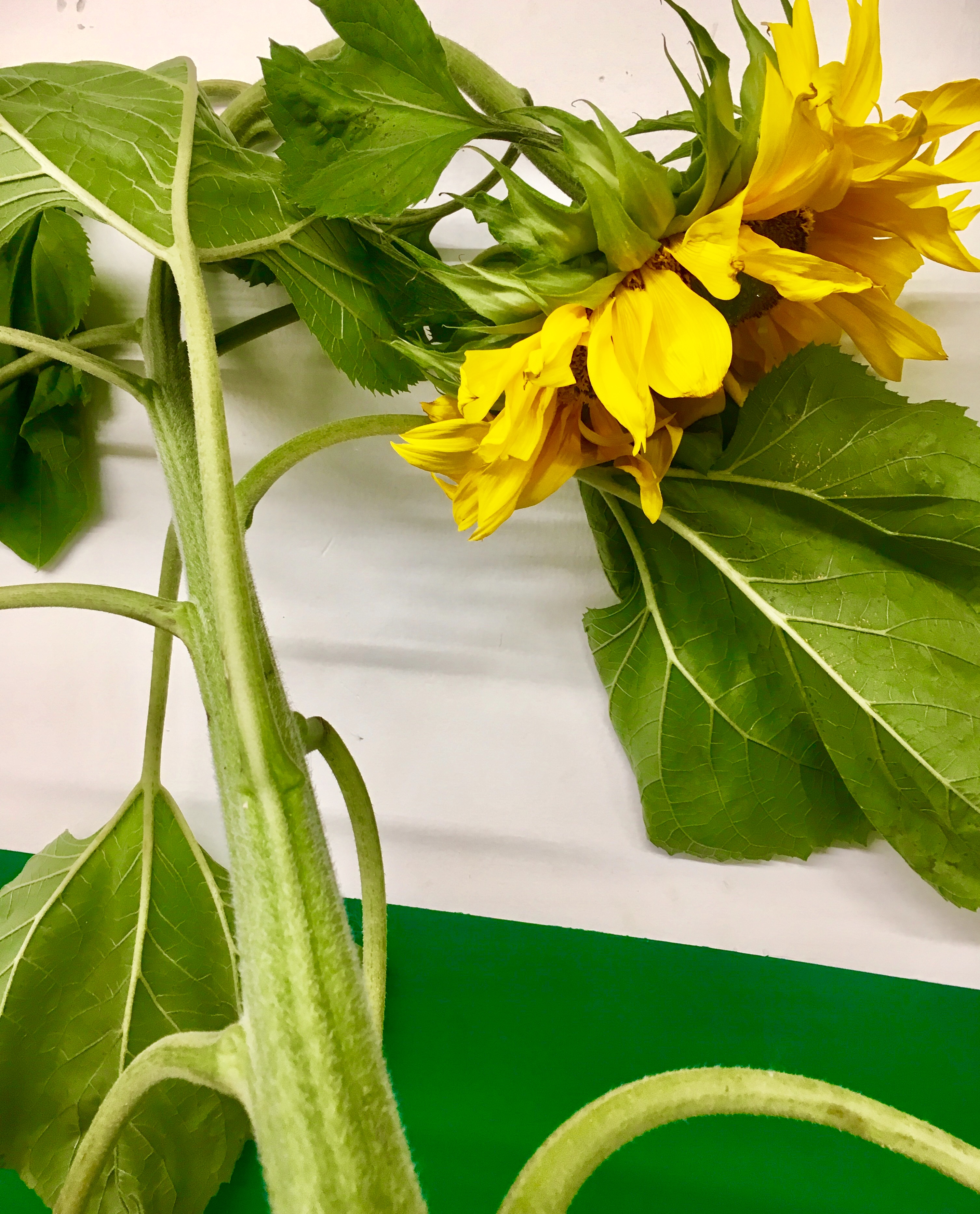
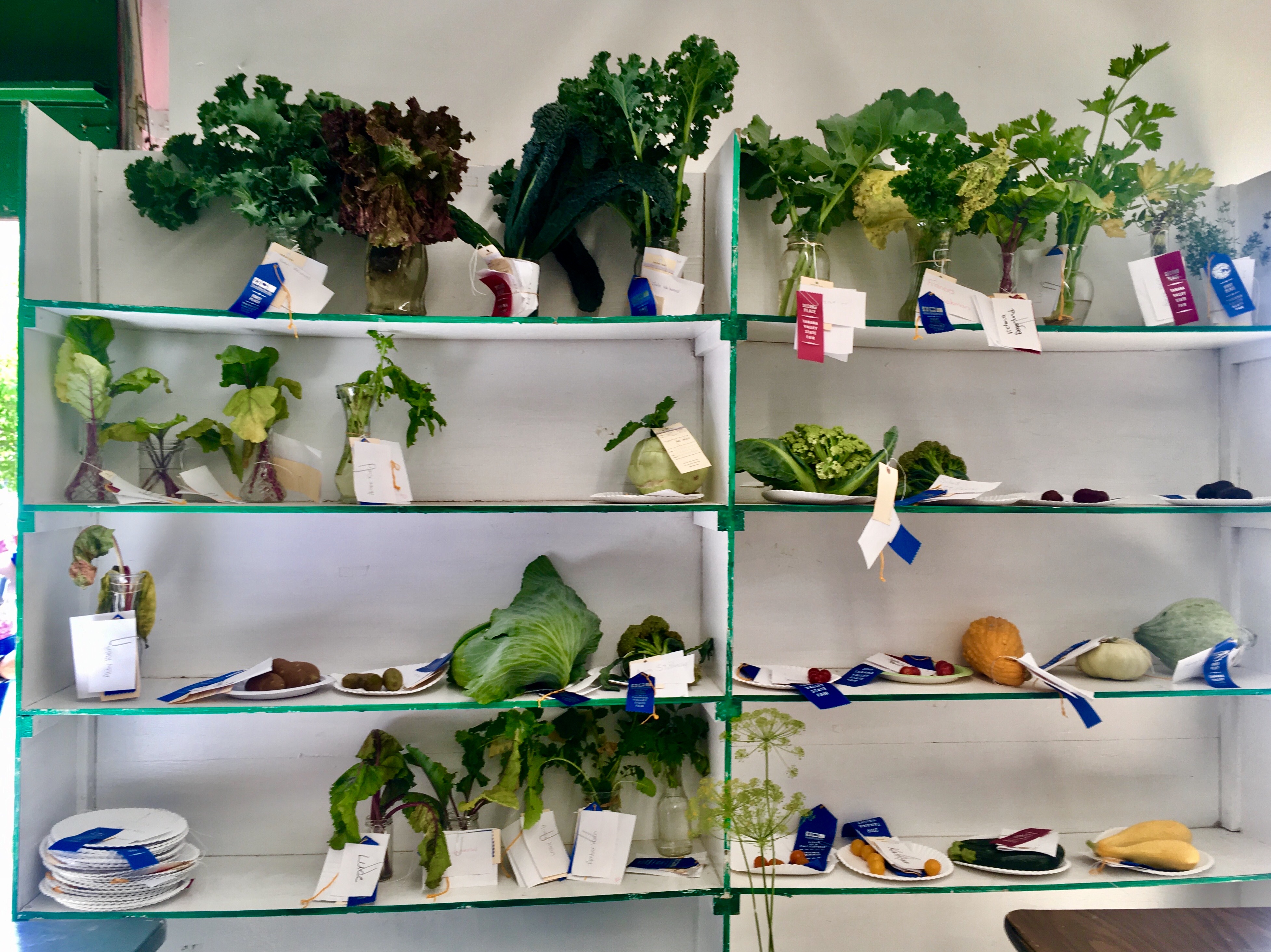
Some of the huge veggies.
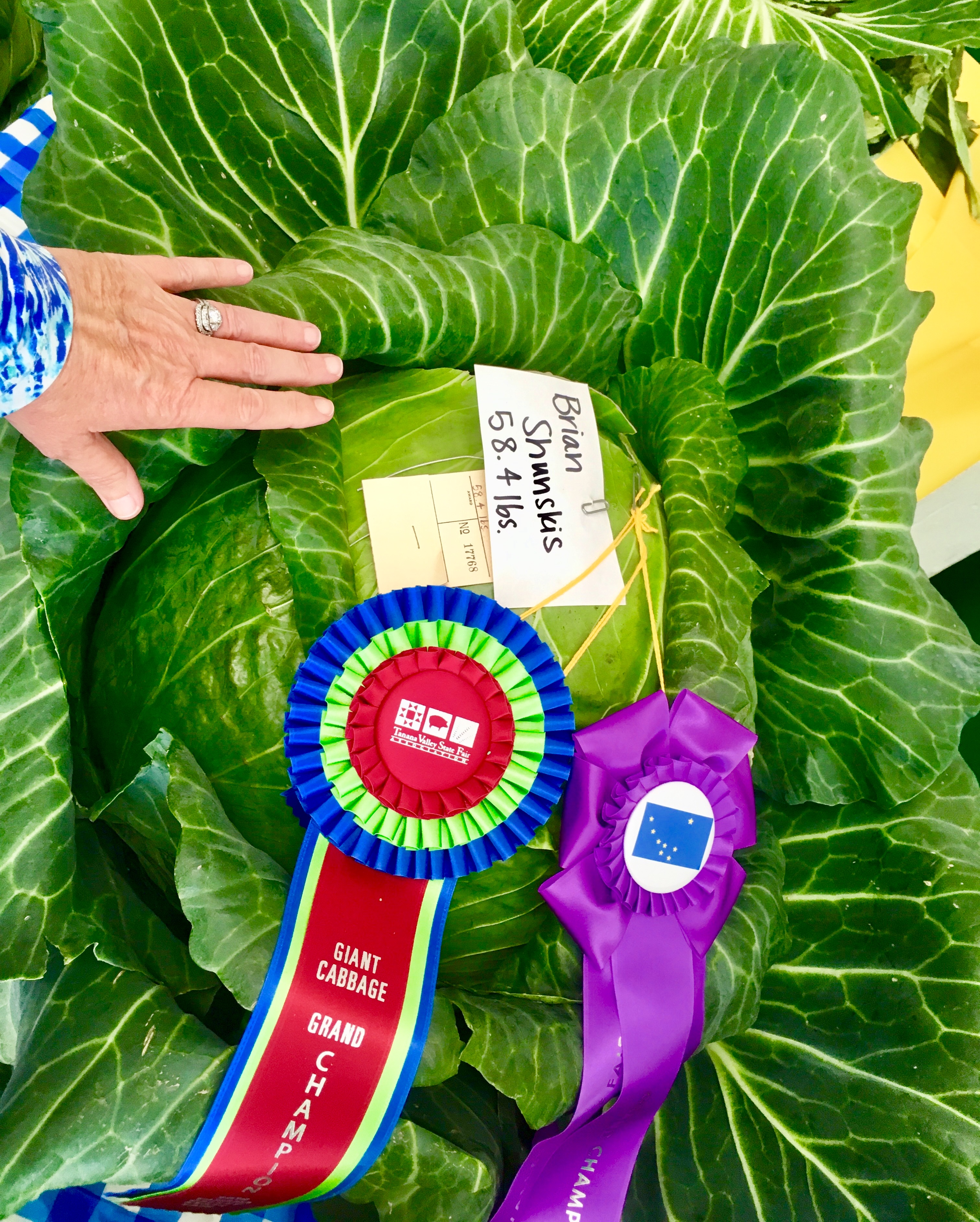
The winning cabbage: 58.4 pounds!!
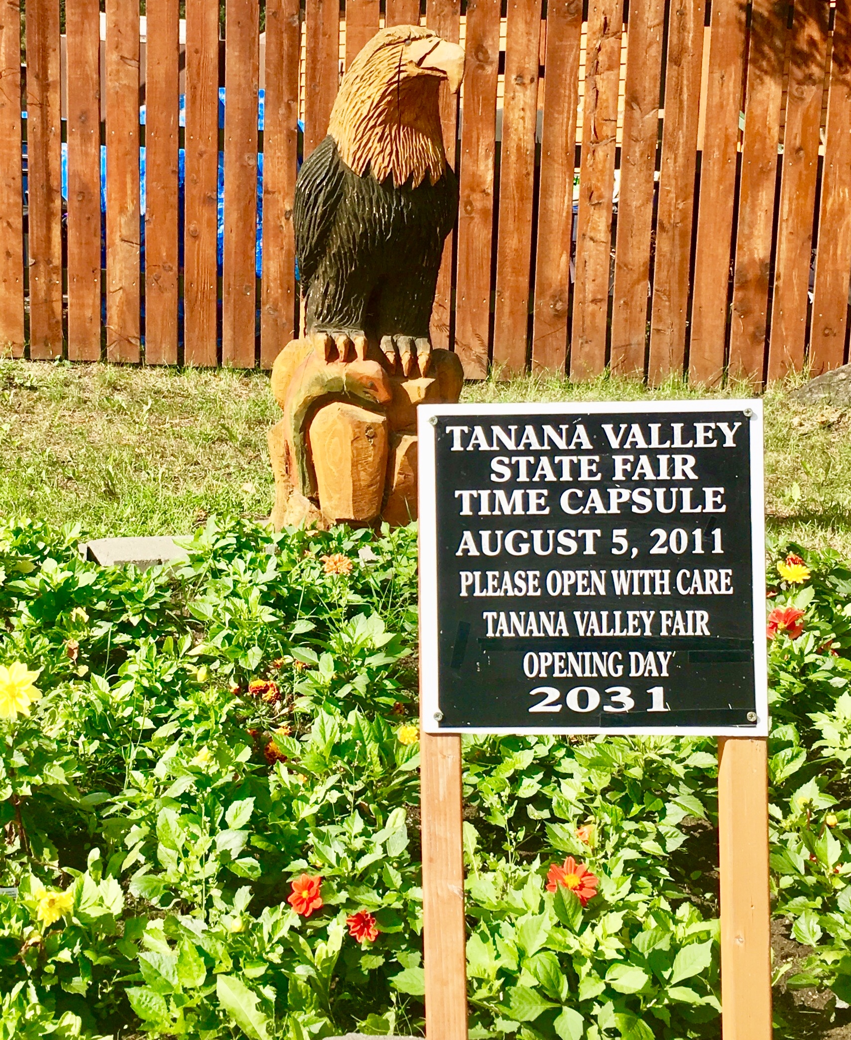
Wonder what people will think about what they find in the capsule?
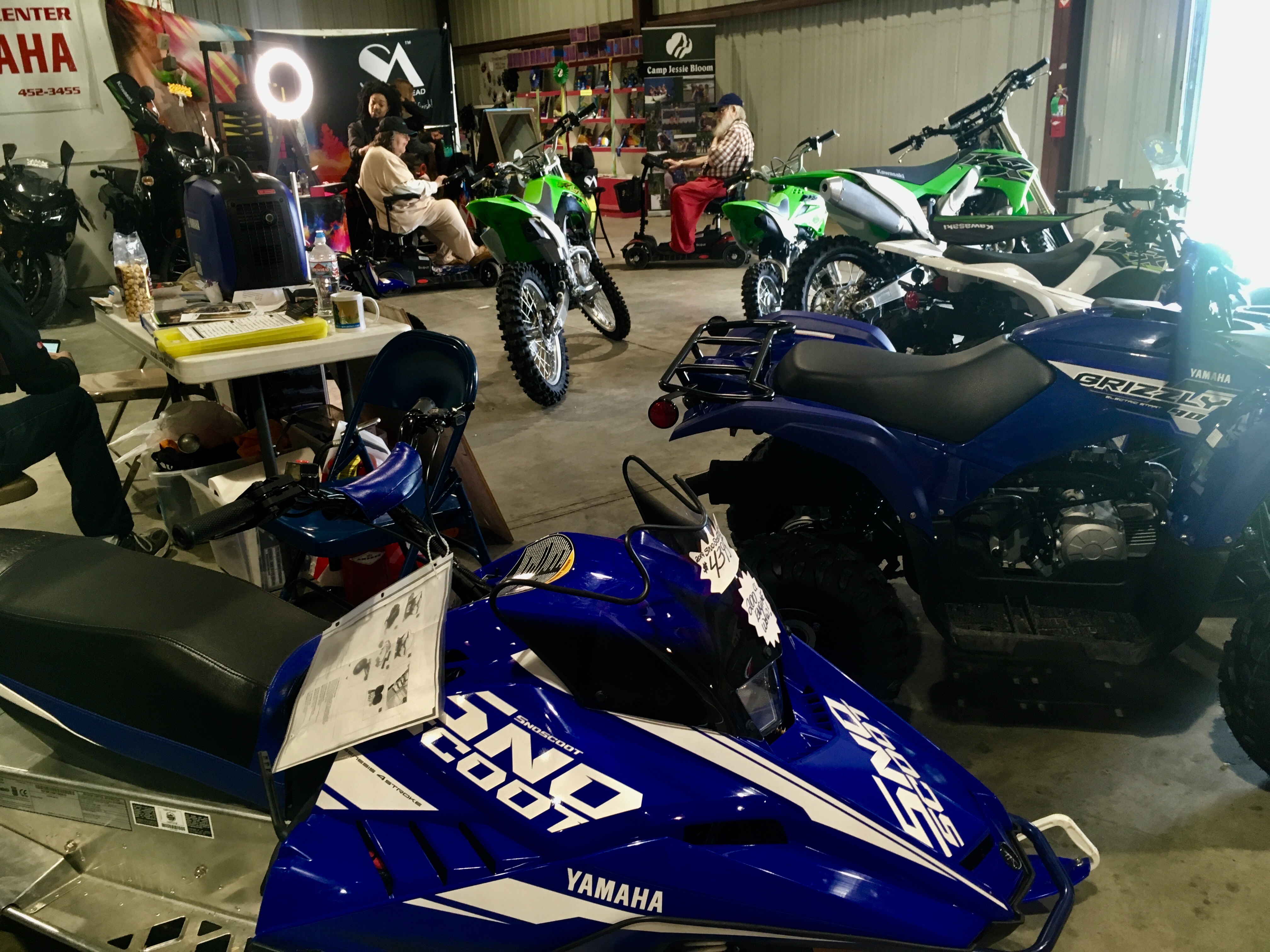
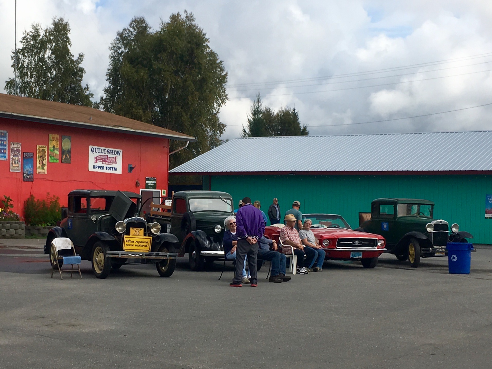
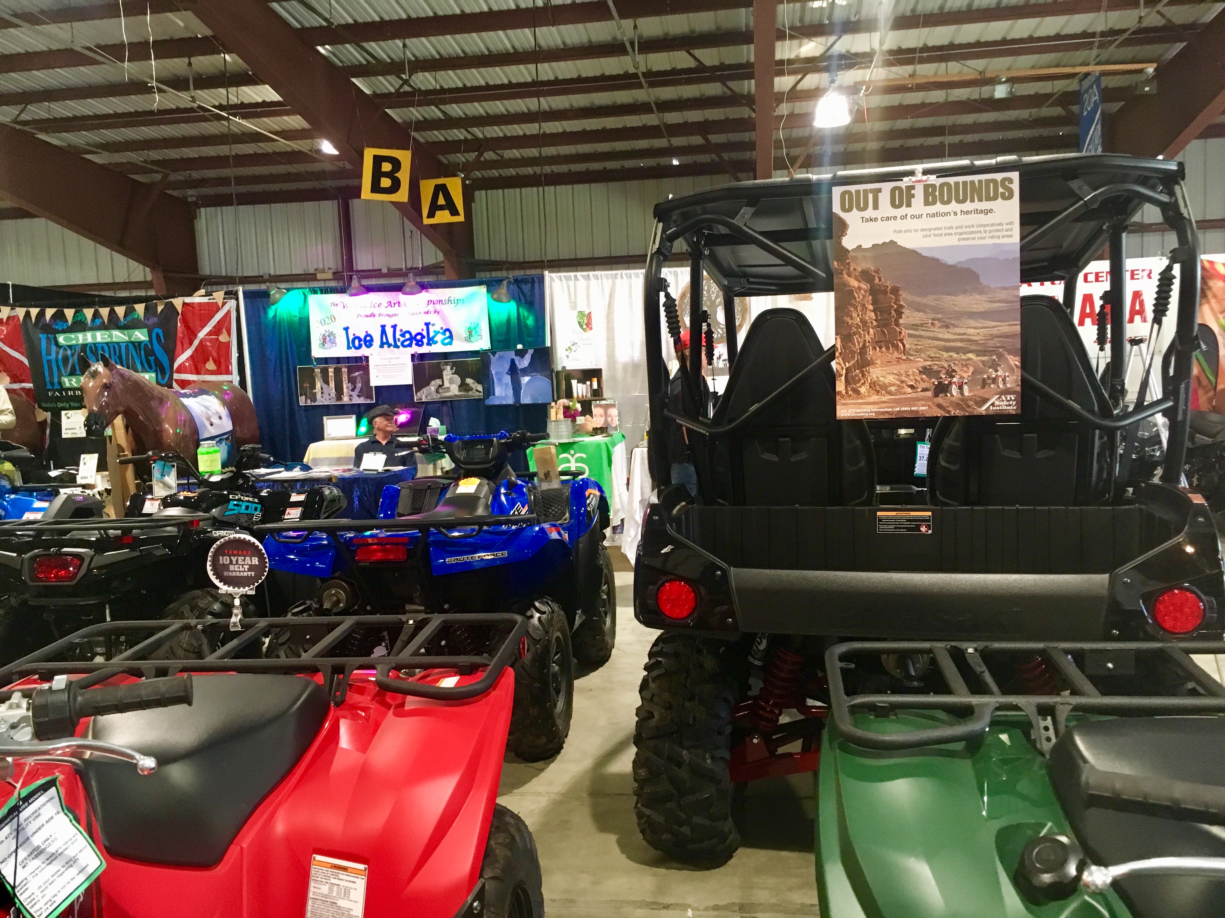
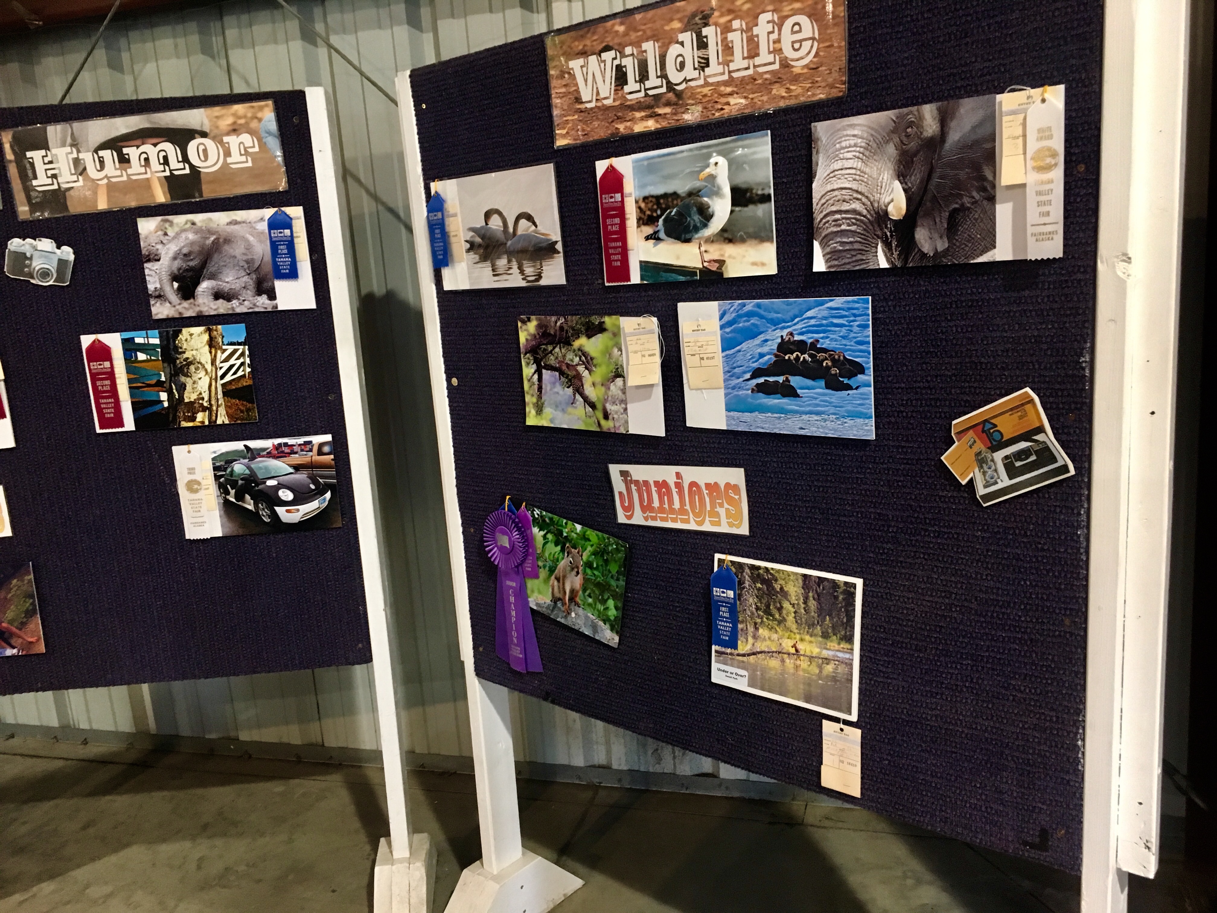
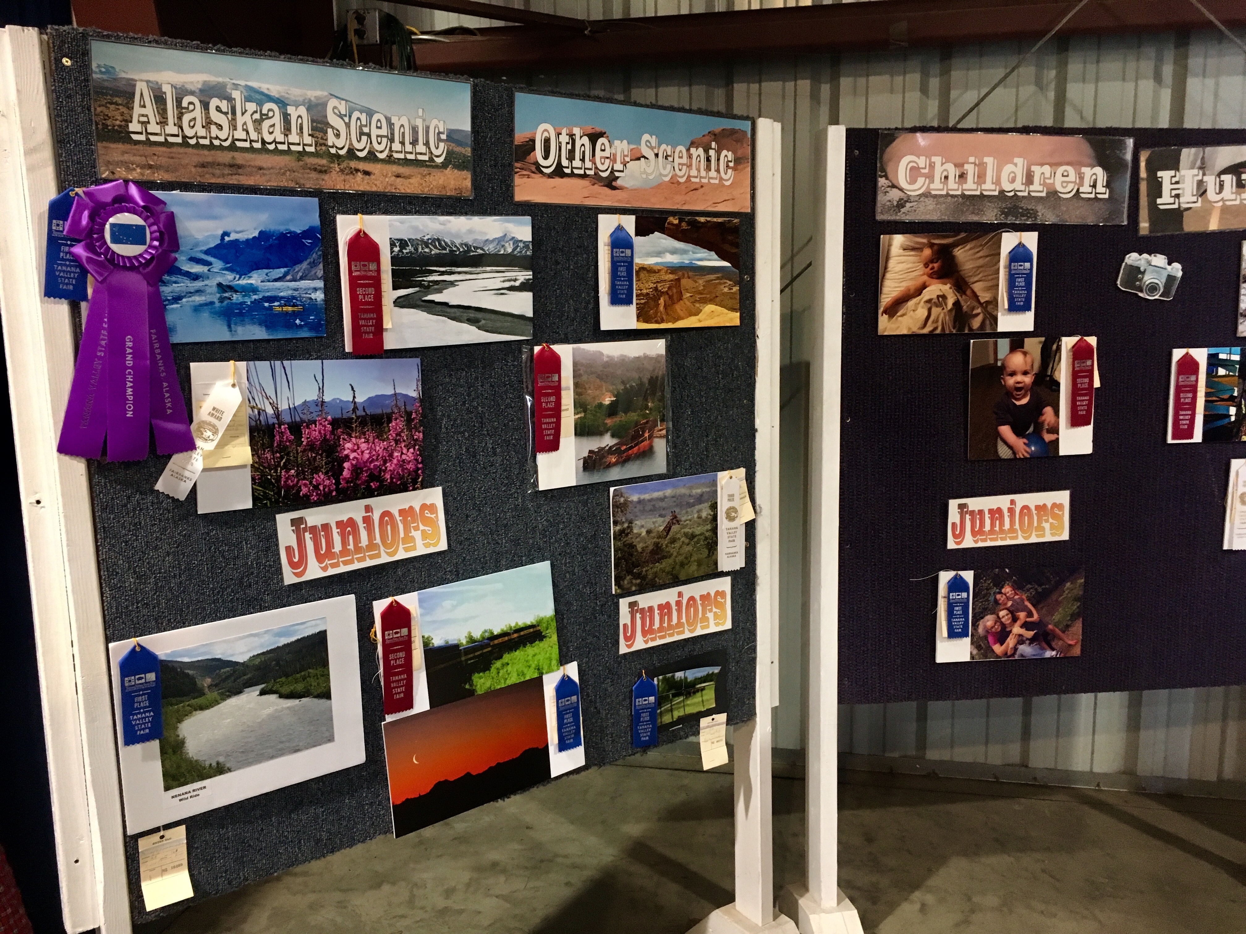
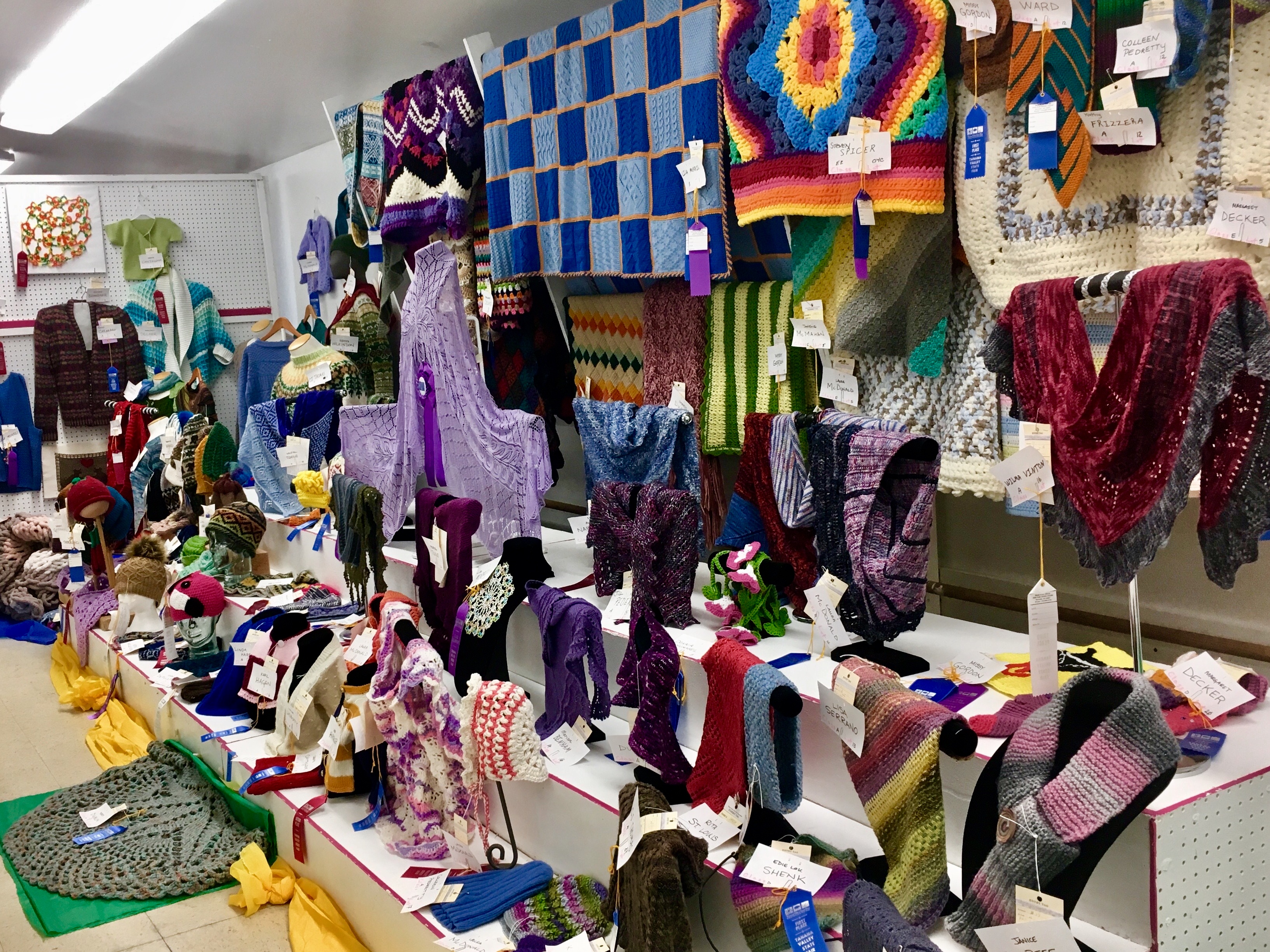
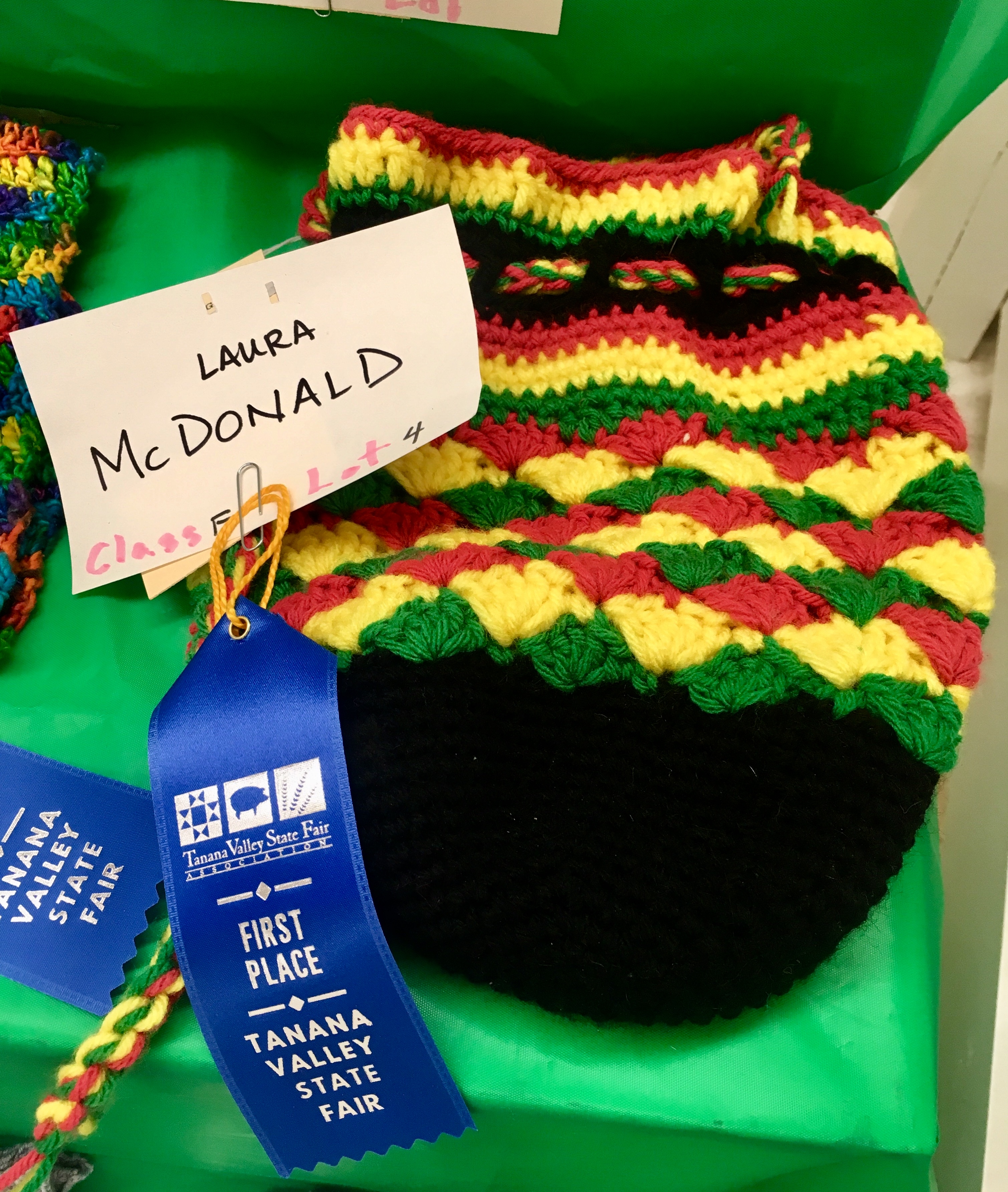
Interesting booths at the fair.

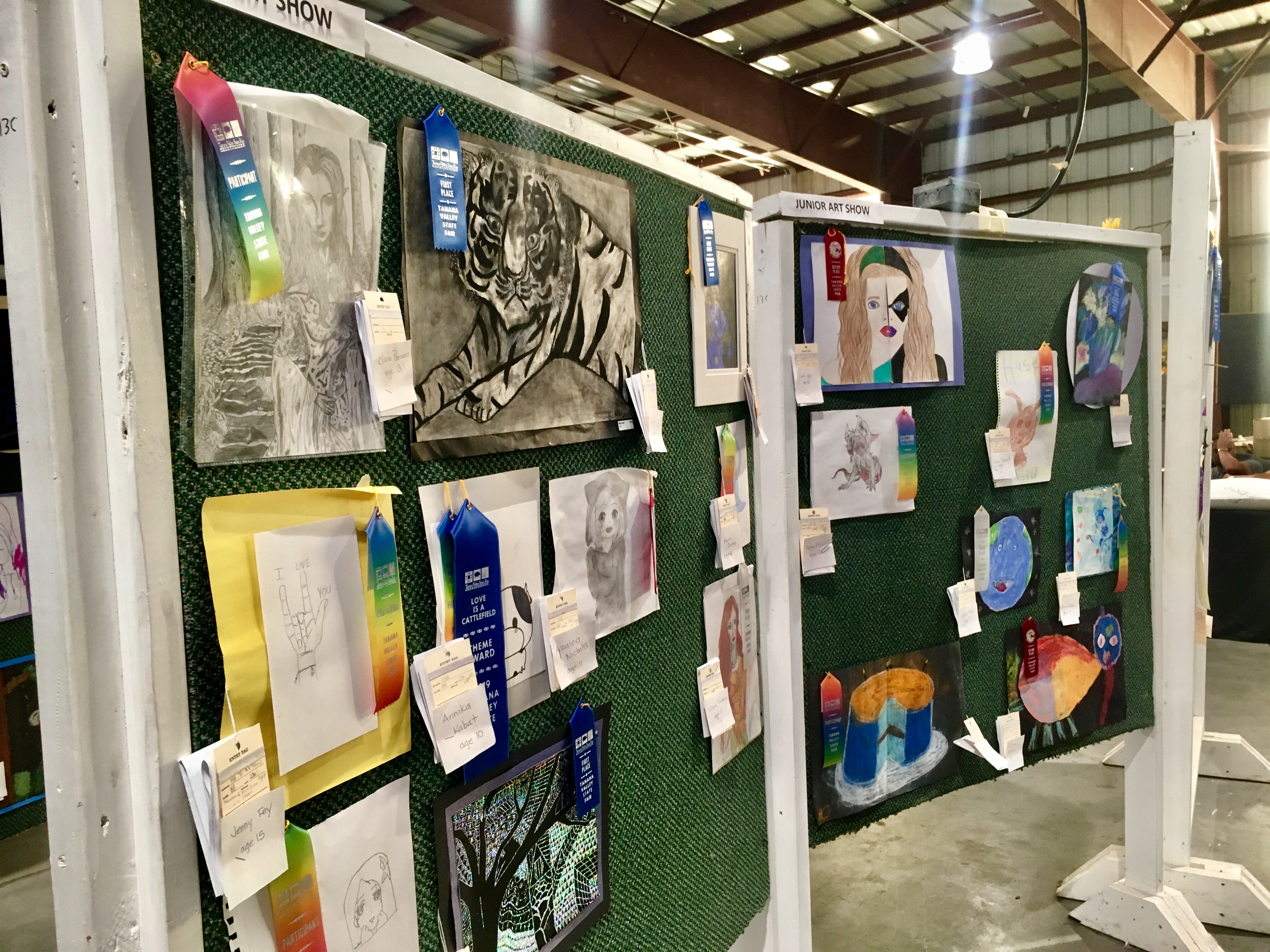
Some of the kids artwork was amazing – tons of talent!
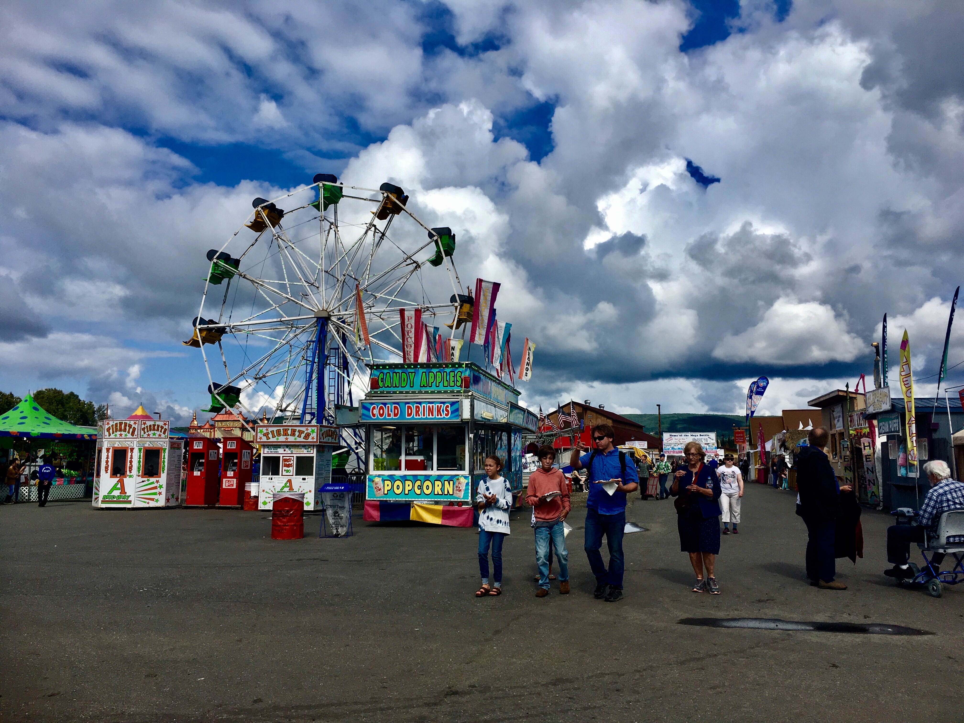
The usual assortment of fair rides.
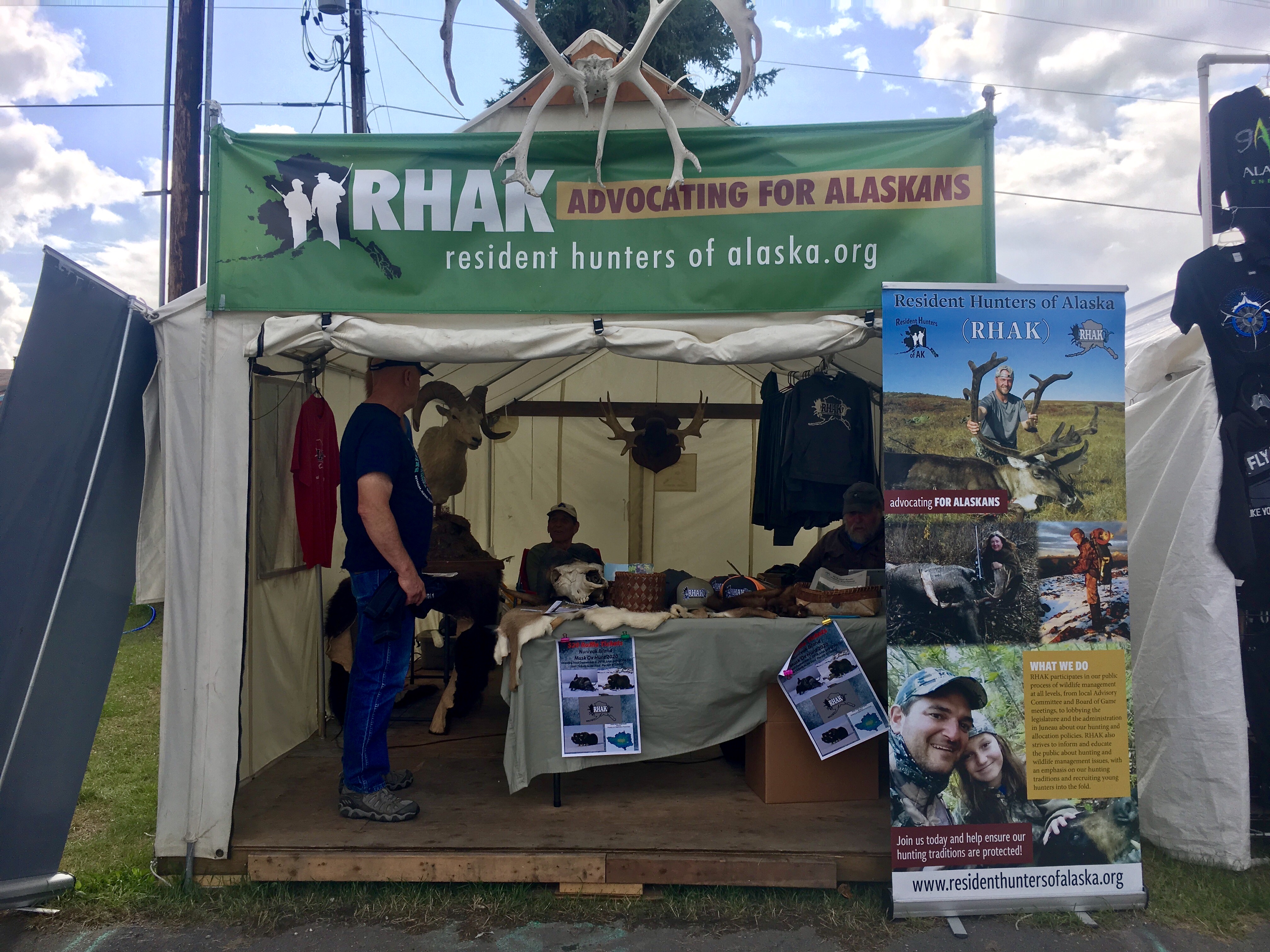
Hunters have booths, too.
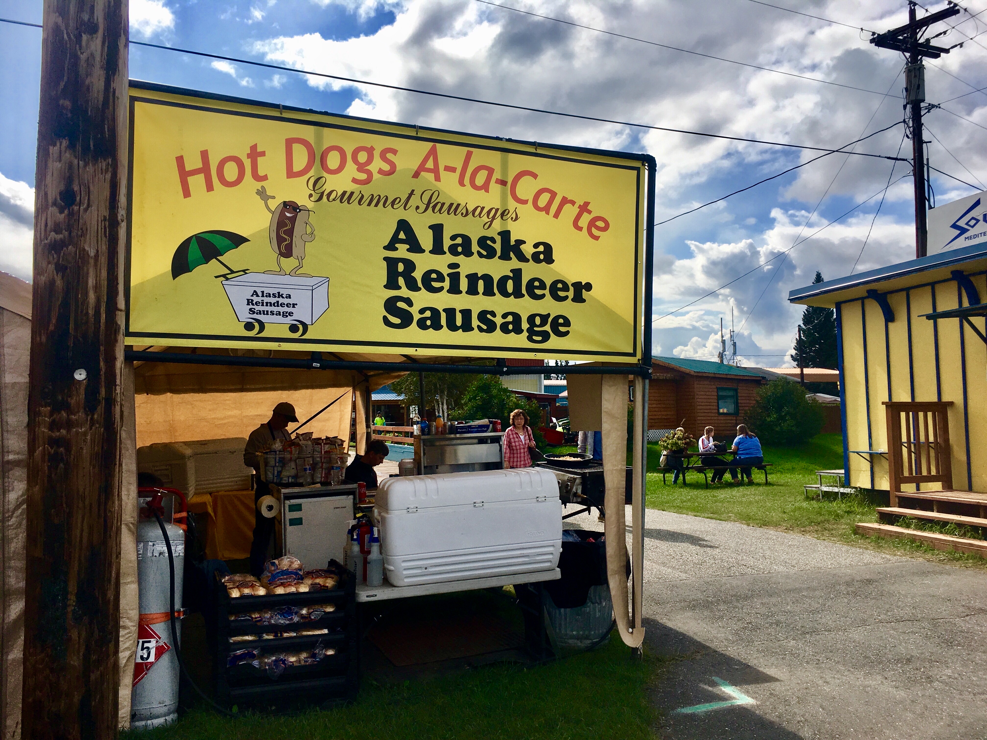
Hot dogs, reindeer sausage, it’s all the same…

We saw this camper food truck down in Talkeetna!

But if not…
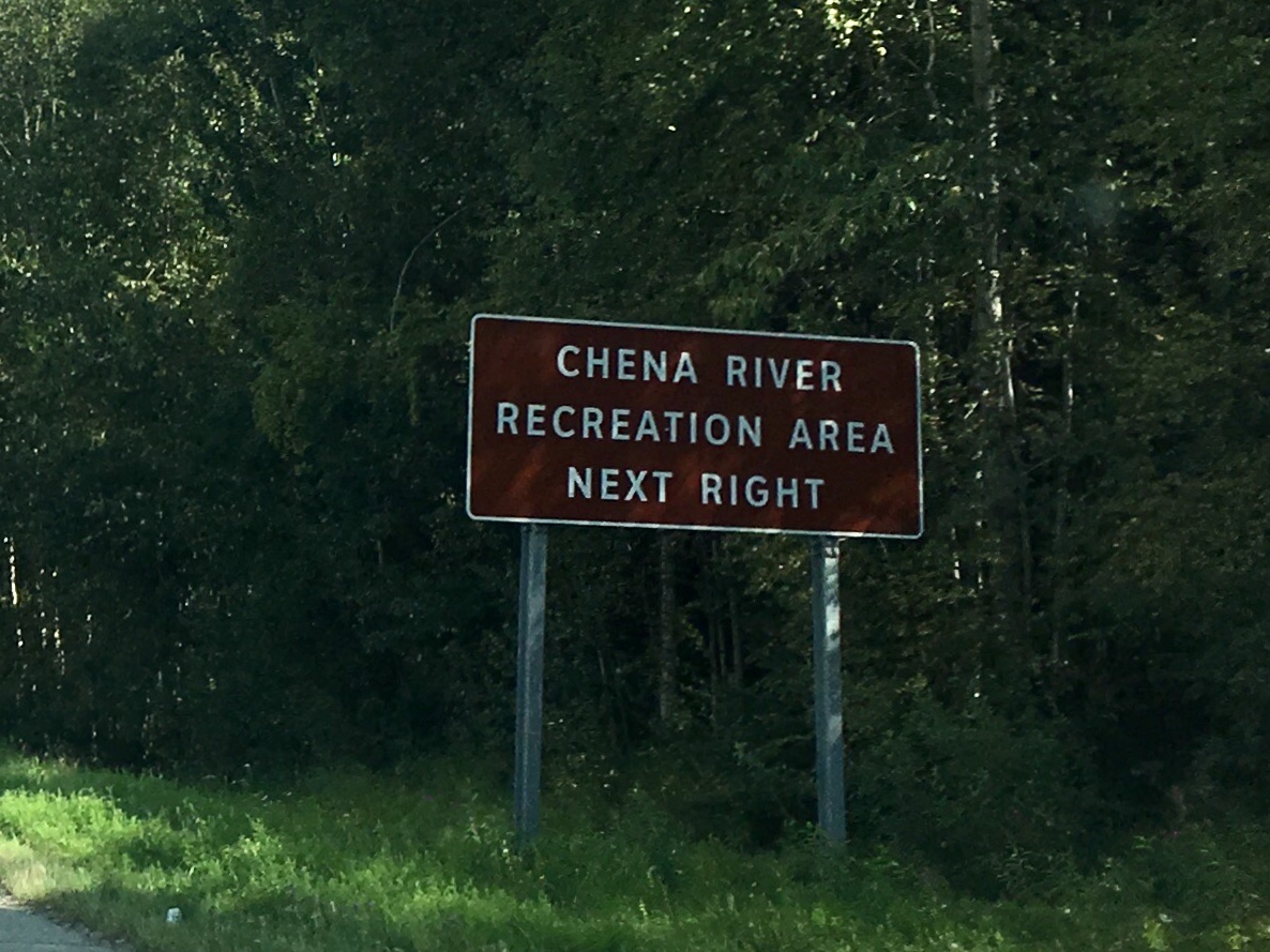
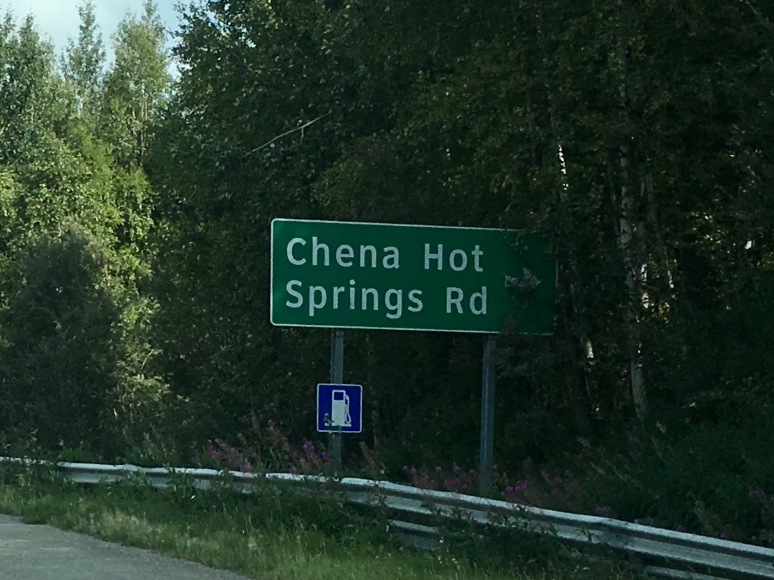
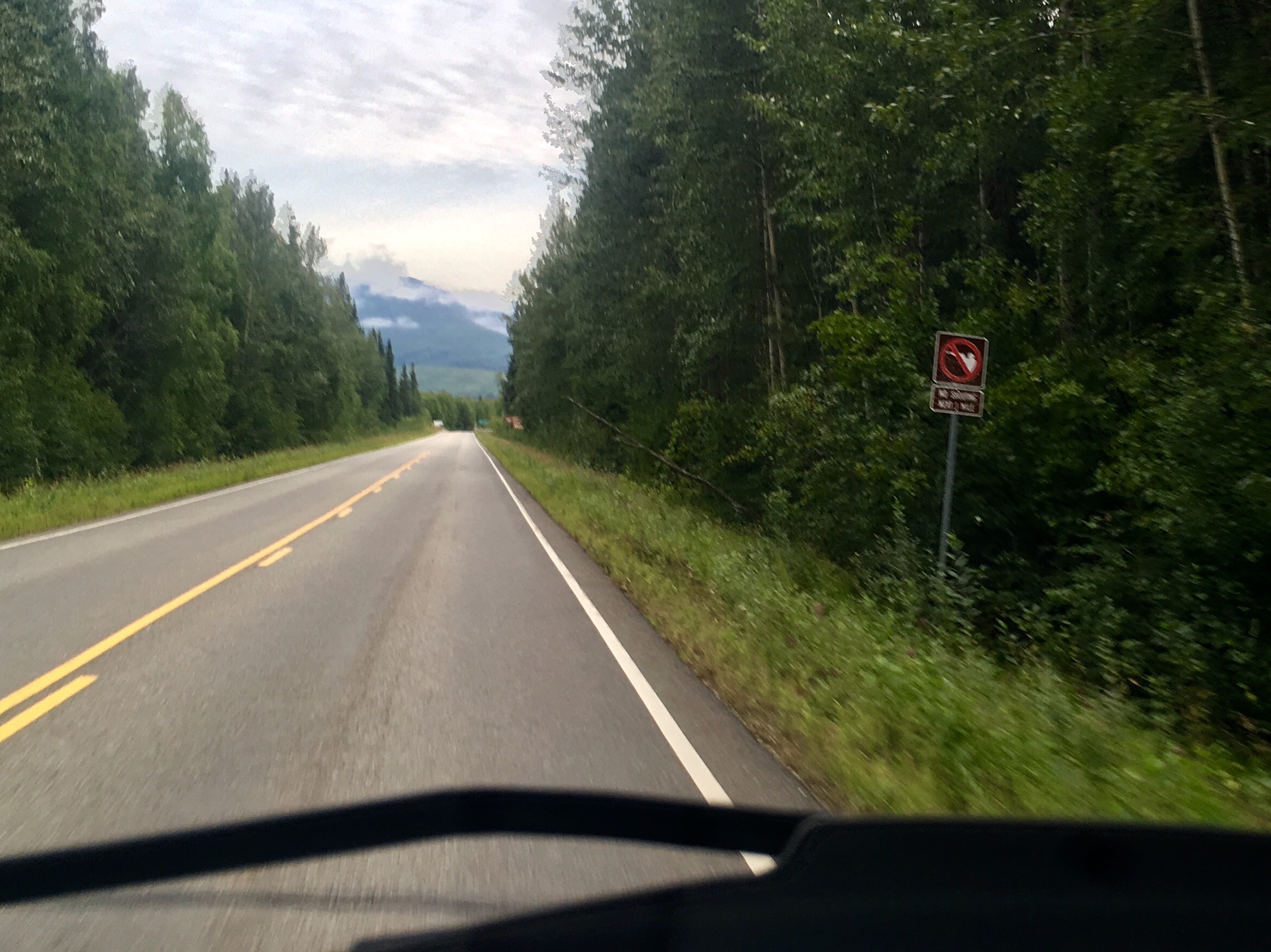
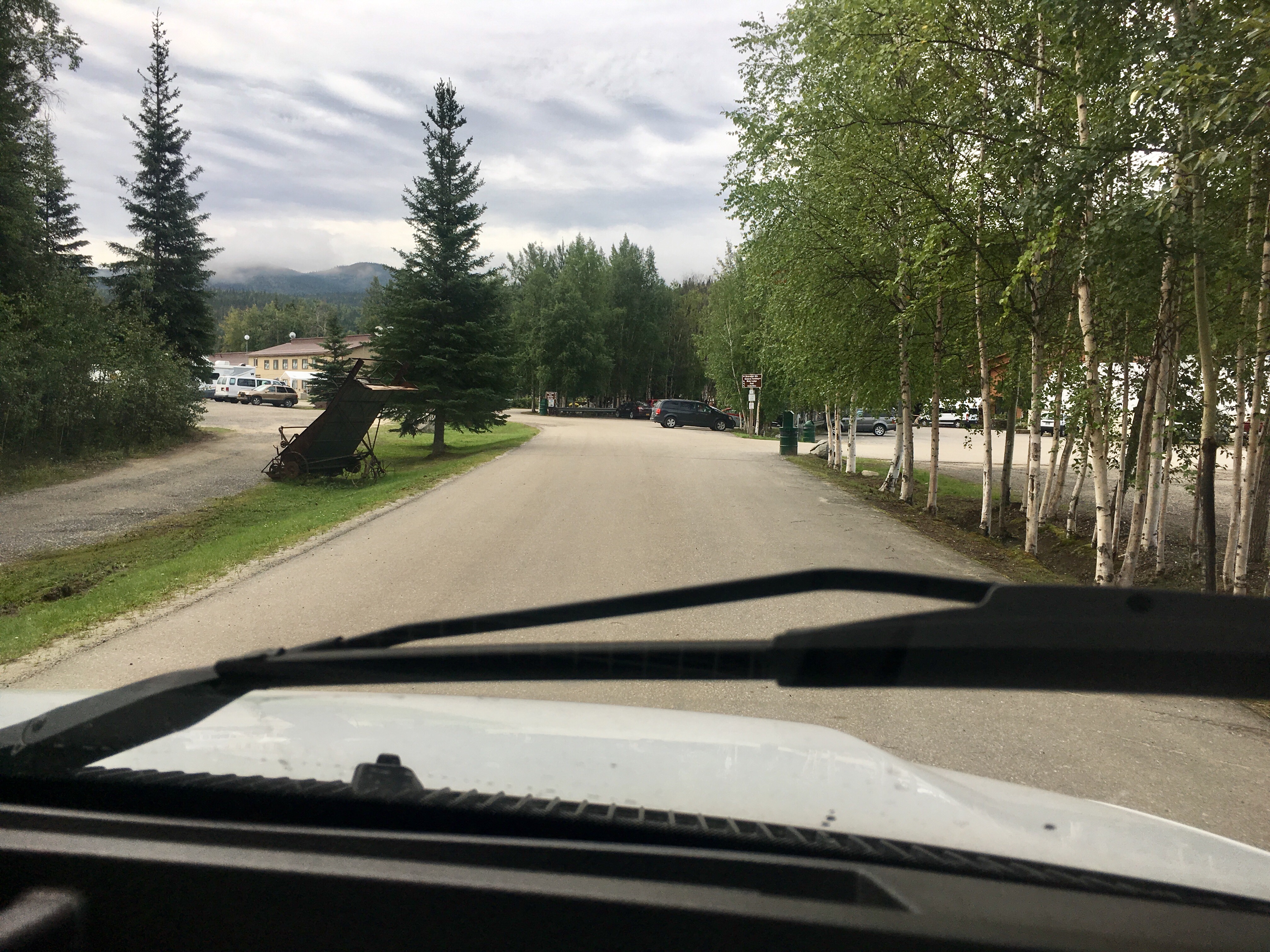
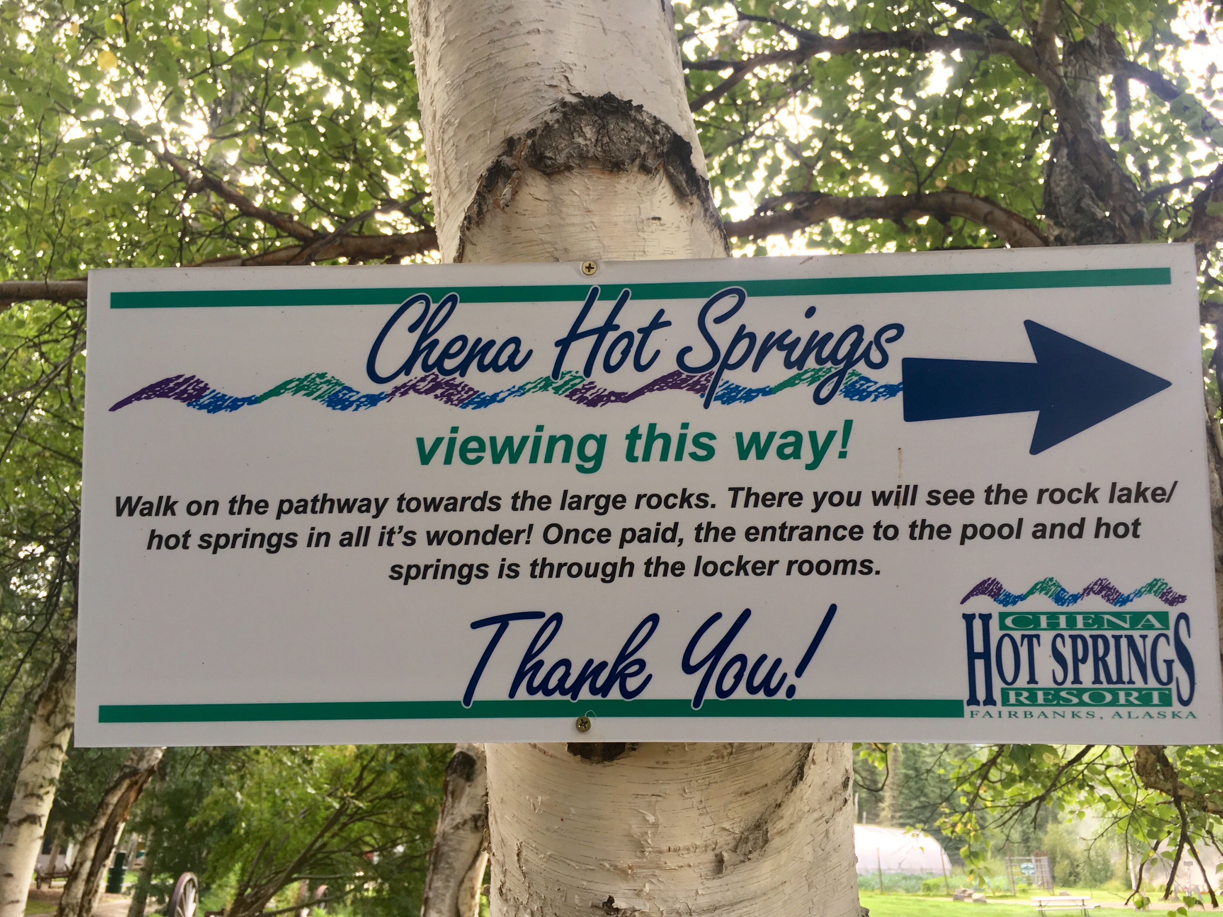
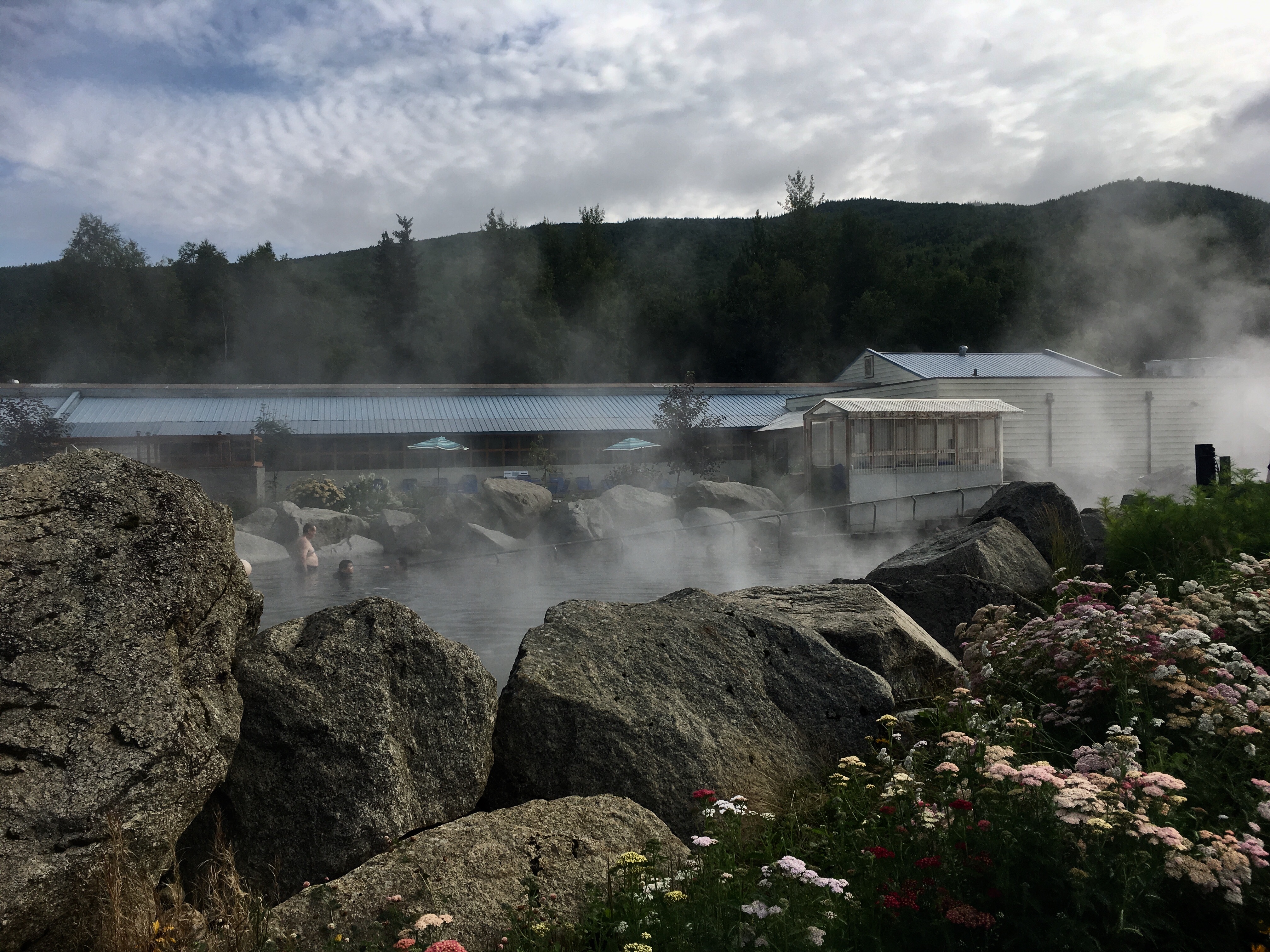
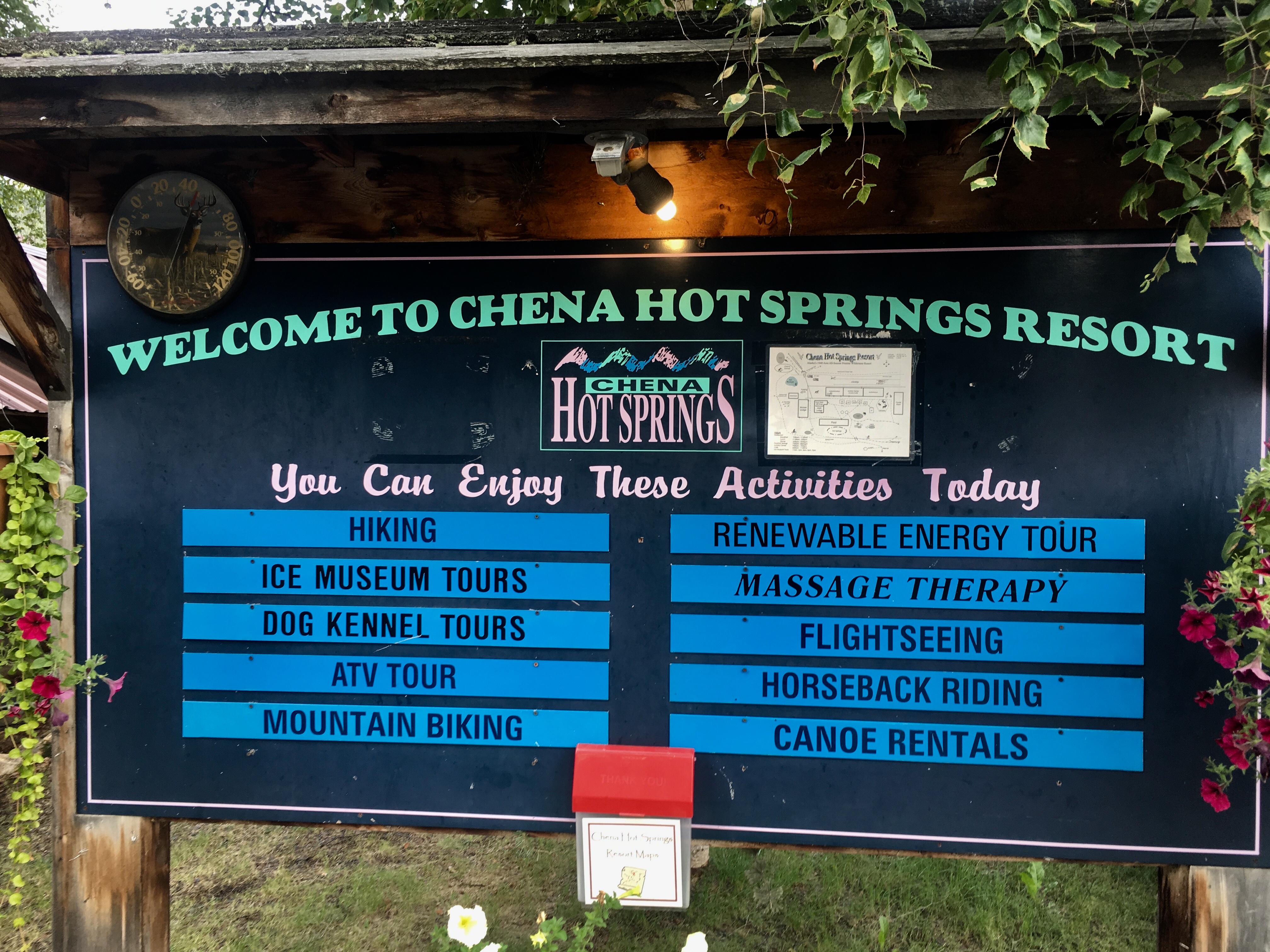
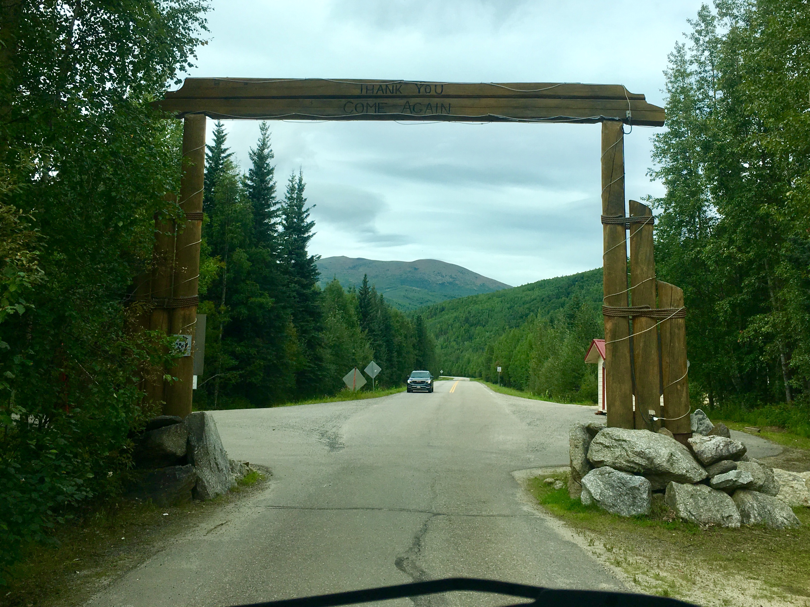
One of the spots we had on our ‘must-visit’ list was Chena Hot springs. Heading northeast from Fairbanks about 50 miles, we crossed latitude 65 North, the farthest north we’ve ever been.
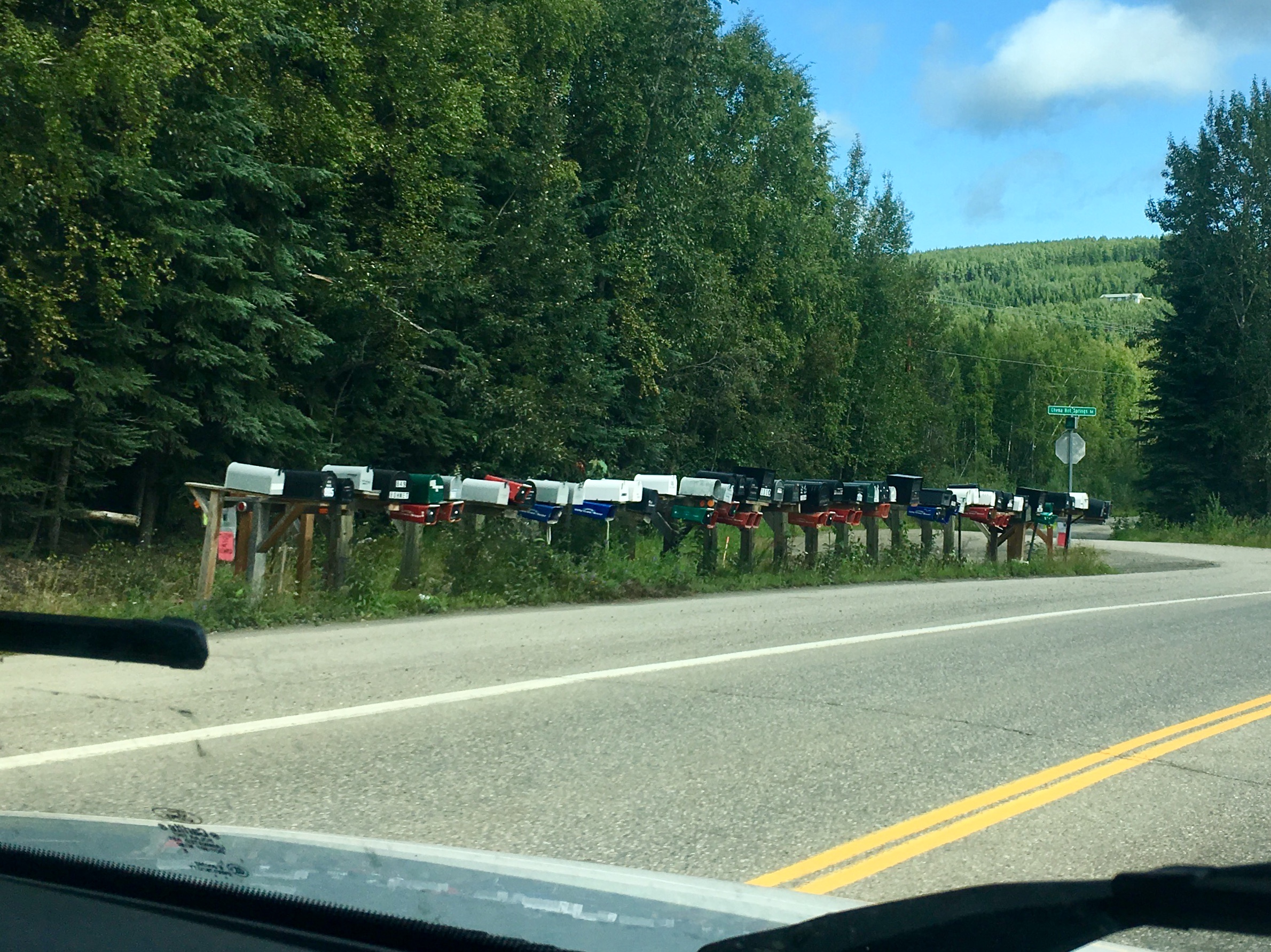
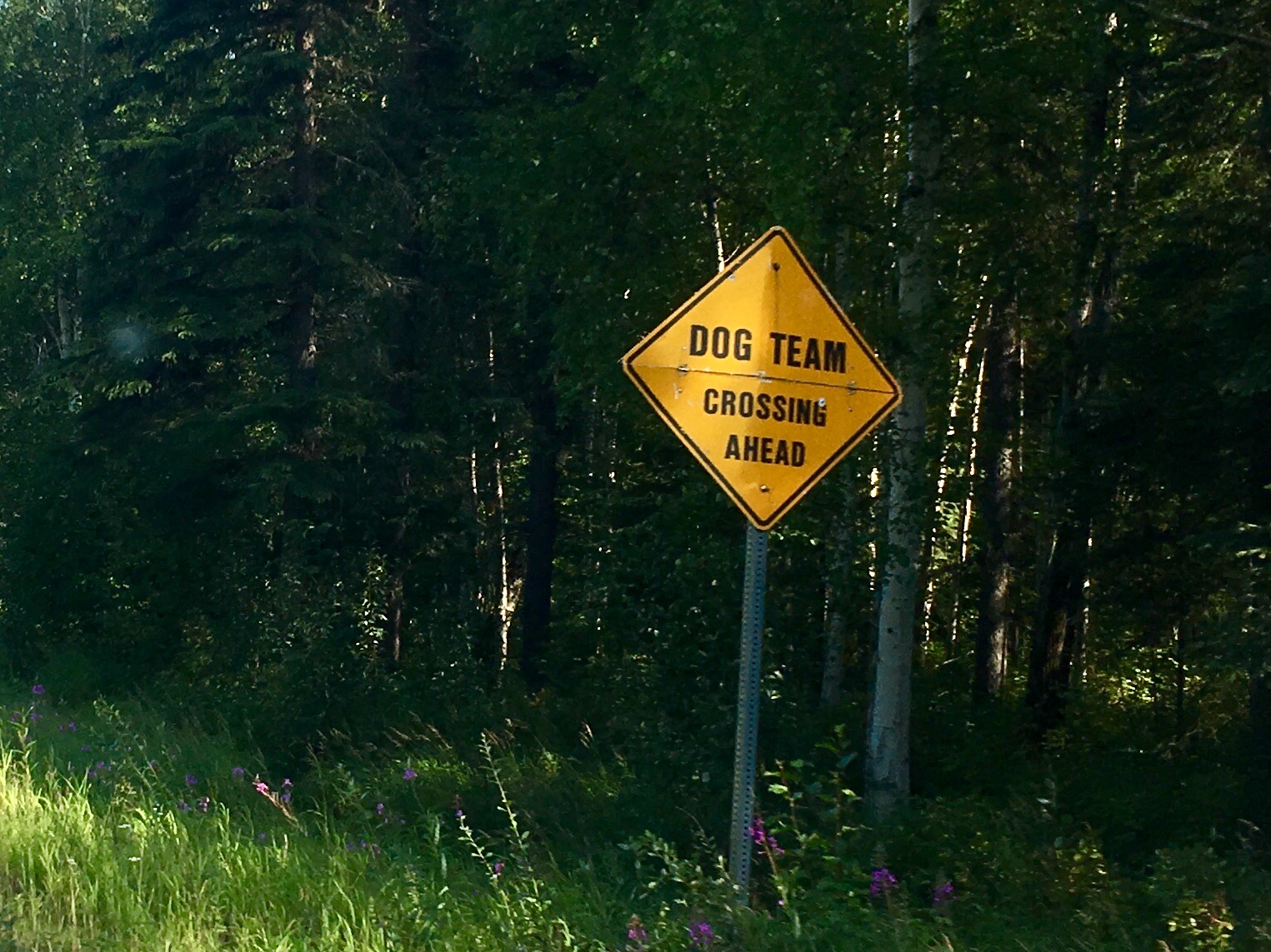
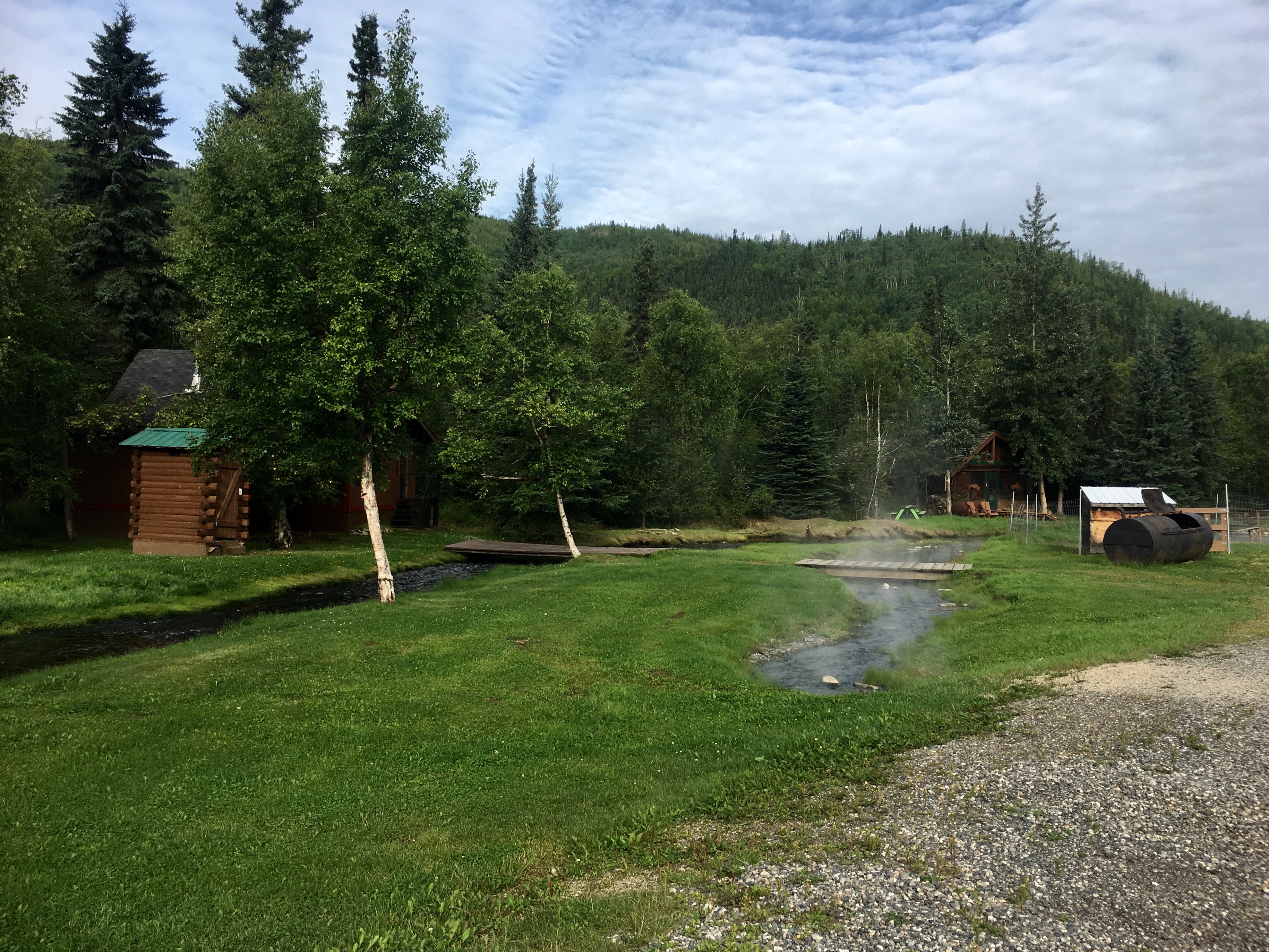
Lots of professional dog sled mushers live along the Chena River and run their teams up and down the river and alongside the road.
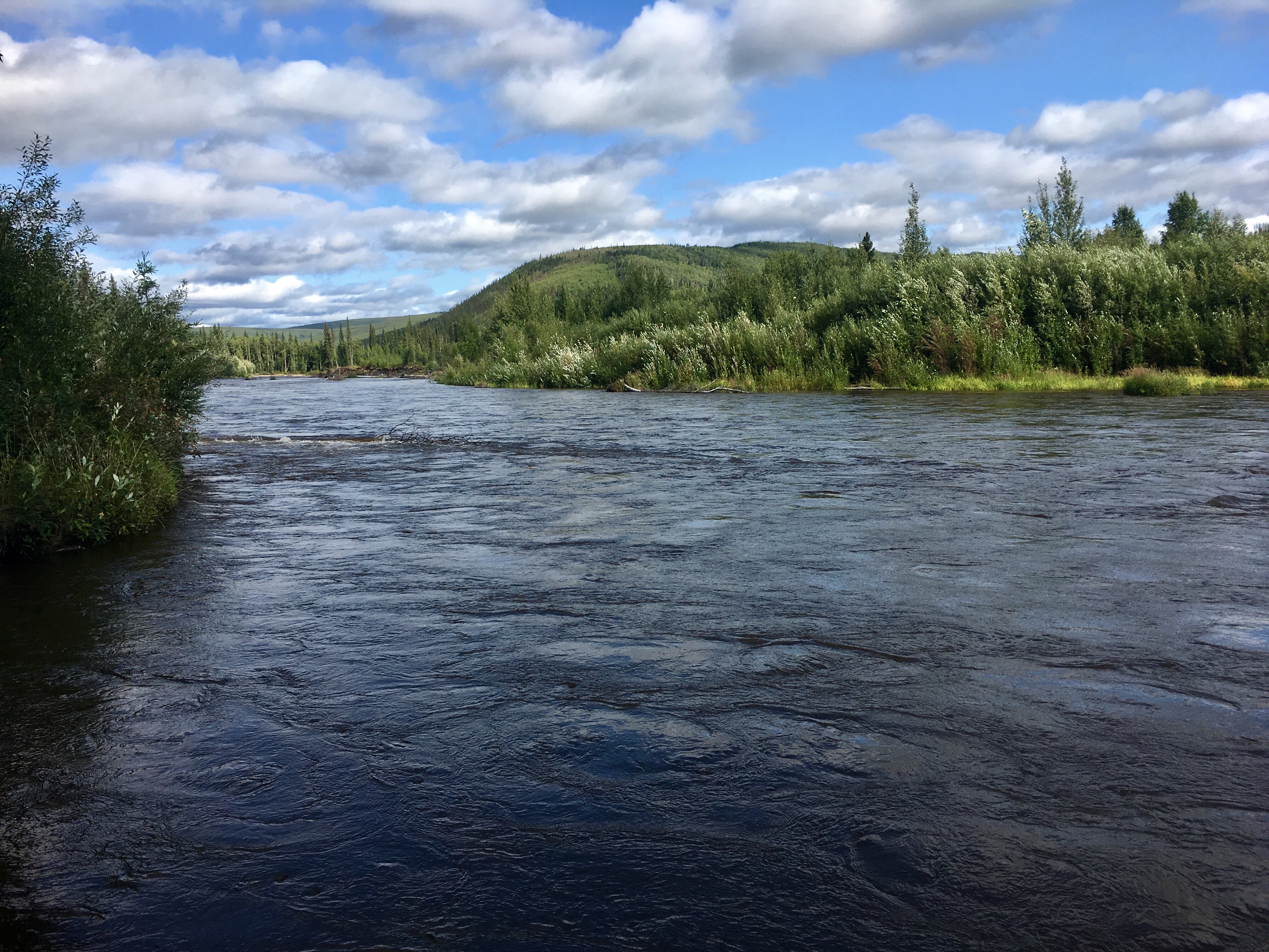
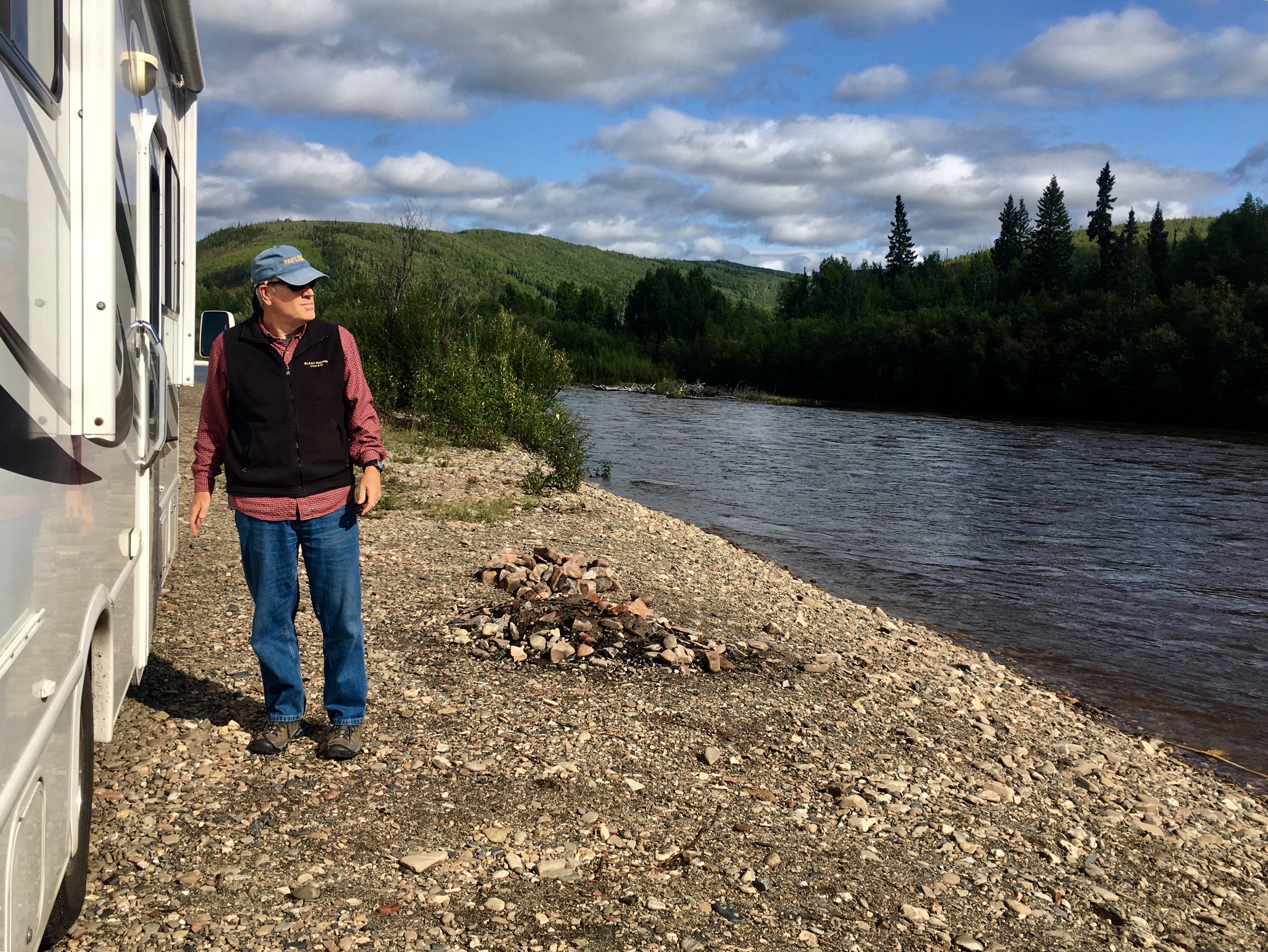
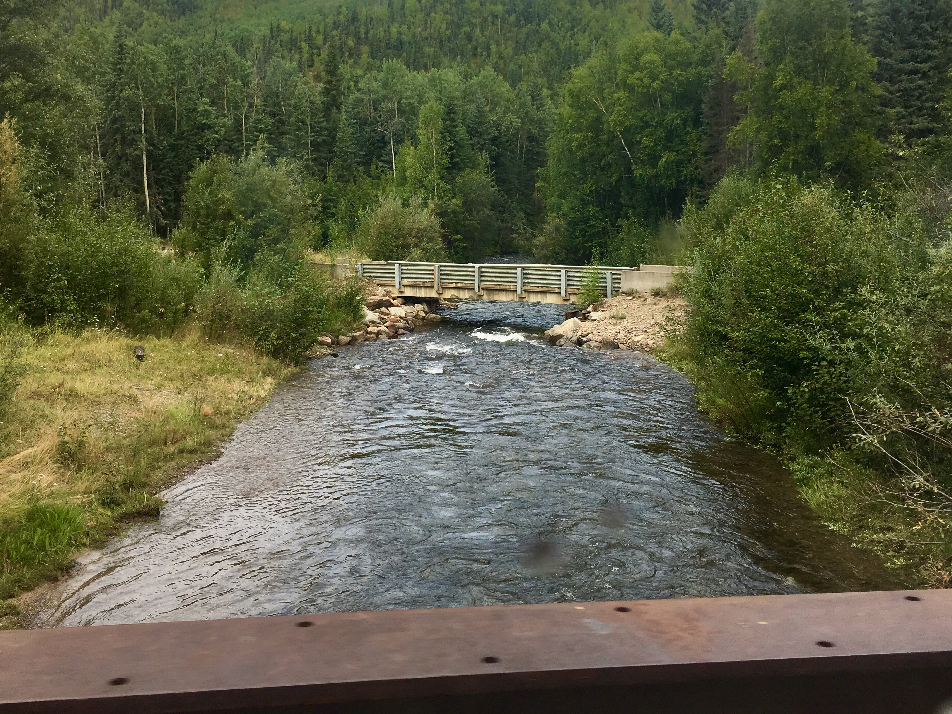
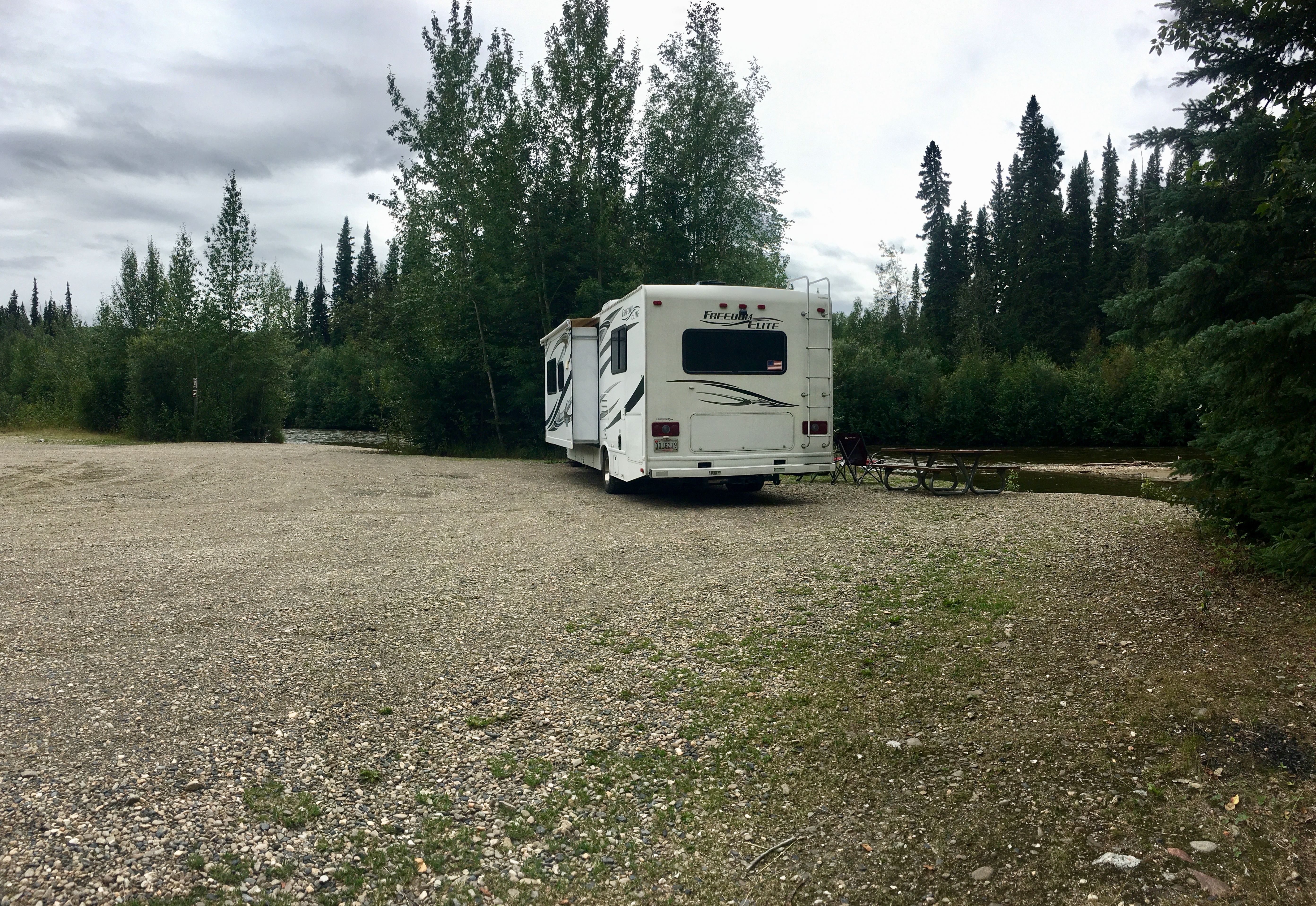
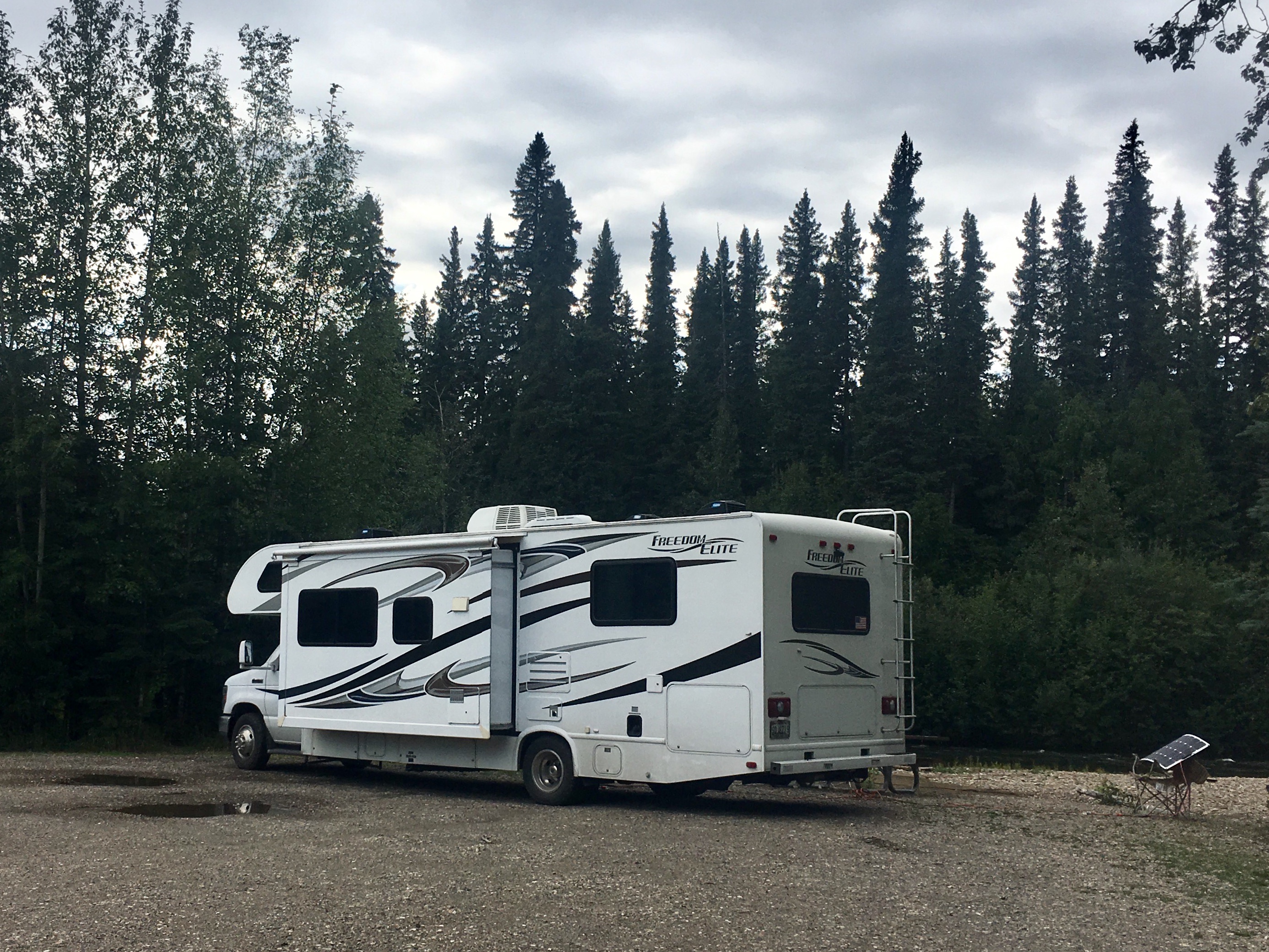
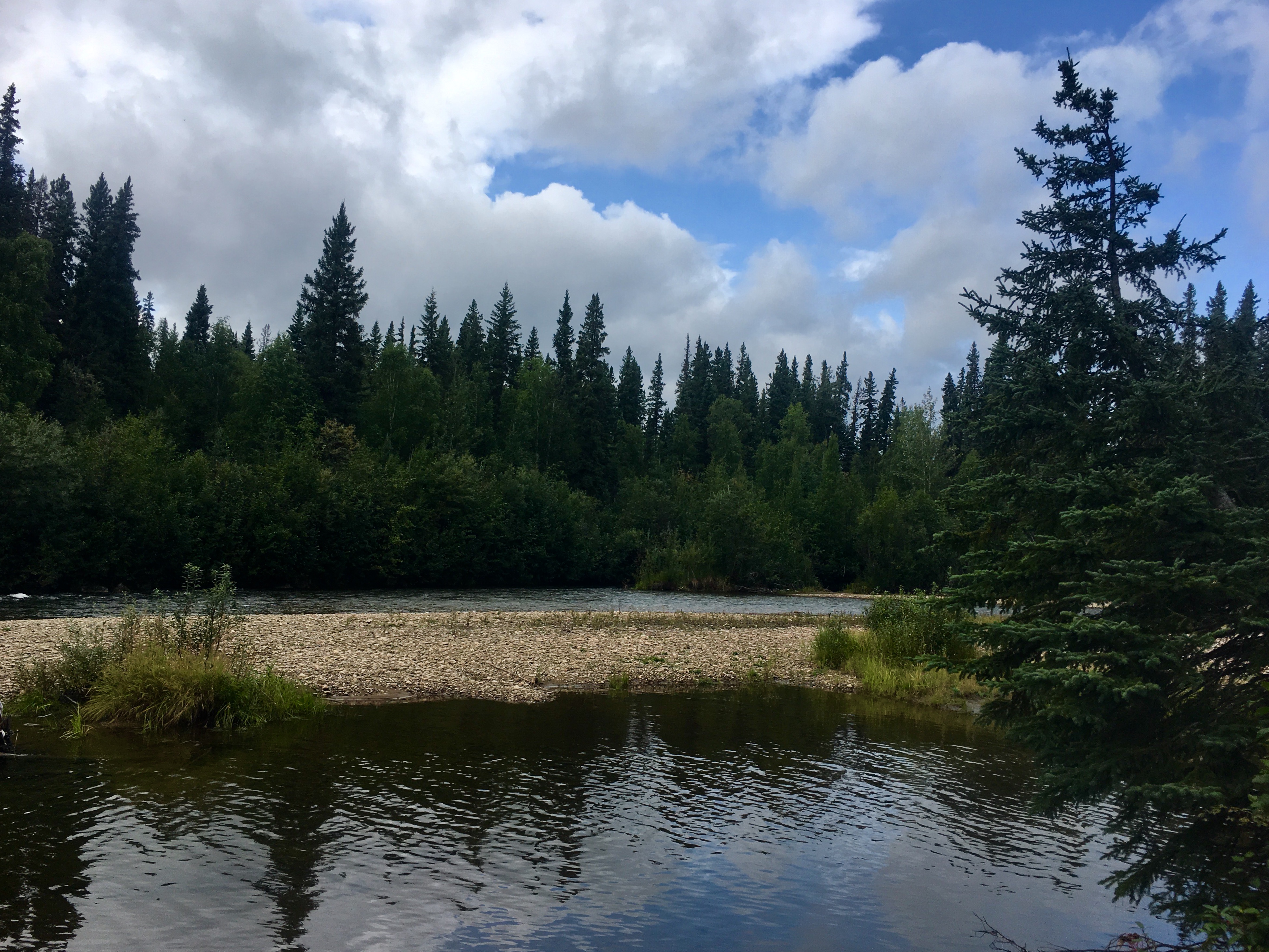
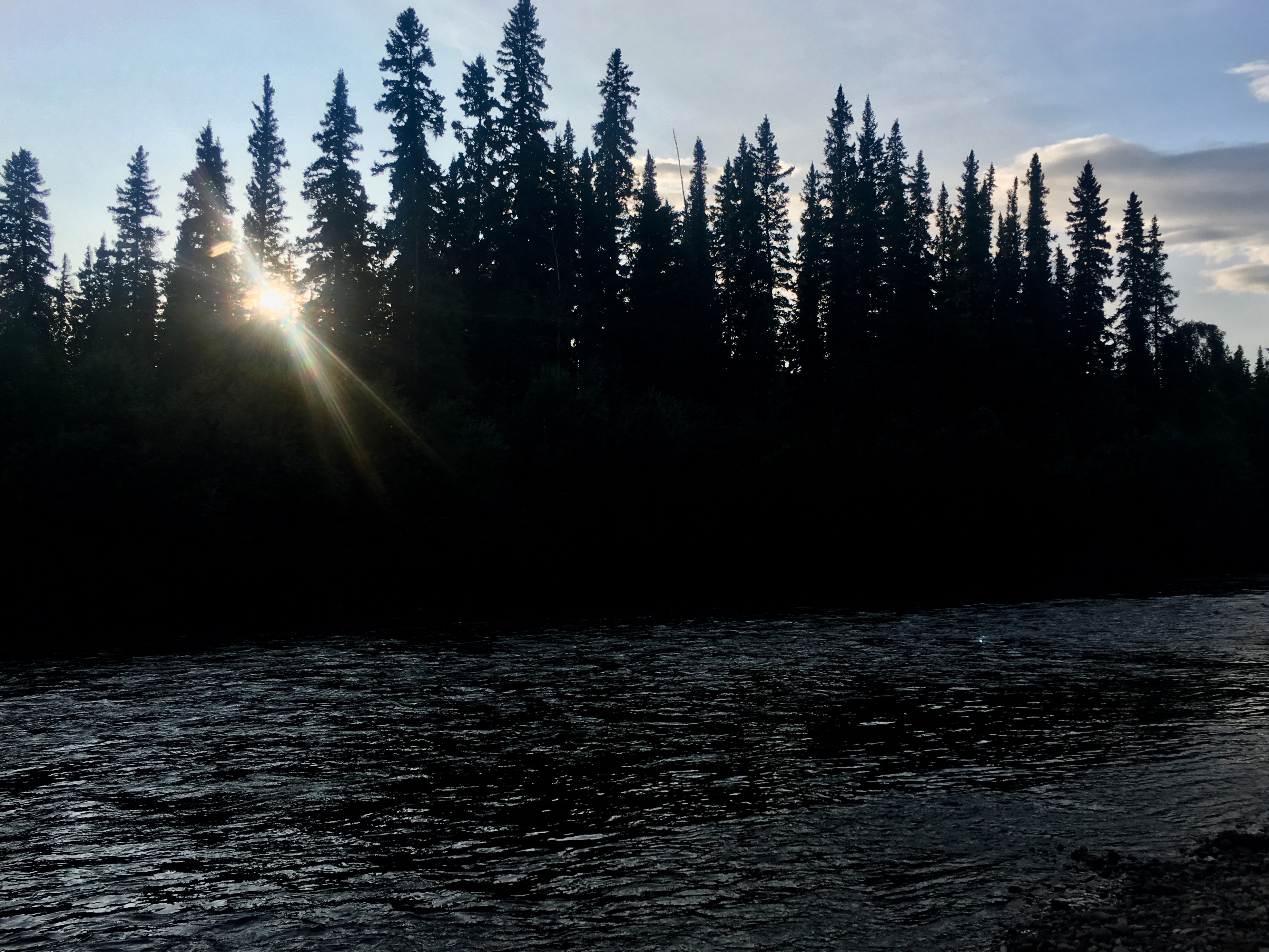
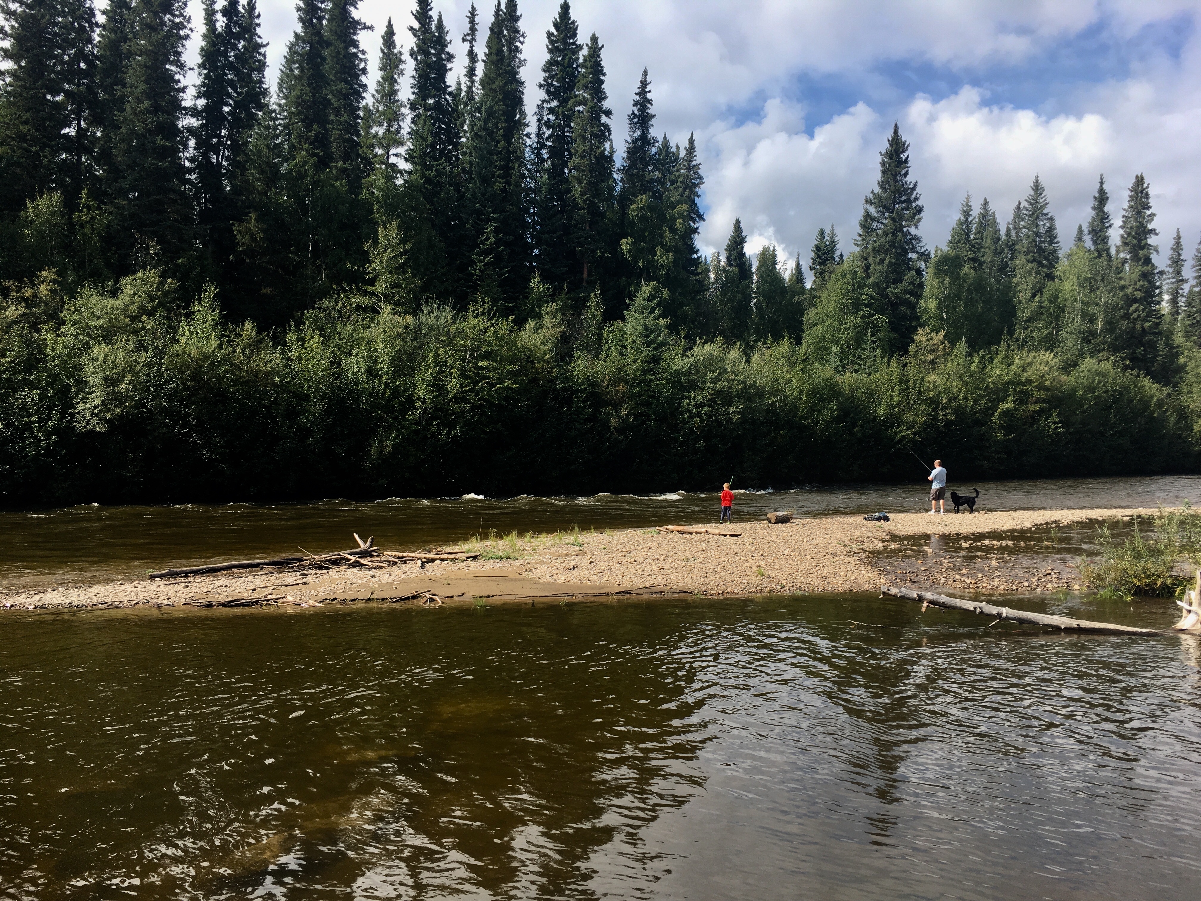
We found a couple of remote spots along the river where we could pull off the road and set up camp. Amazing scenery, total quiet and way off the grid.
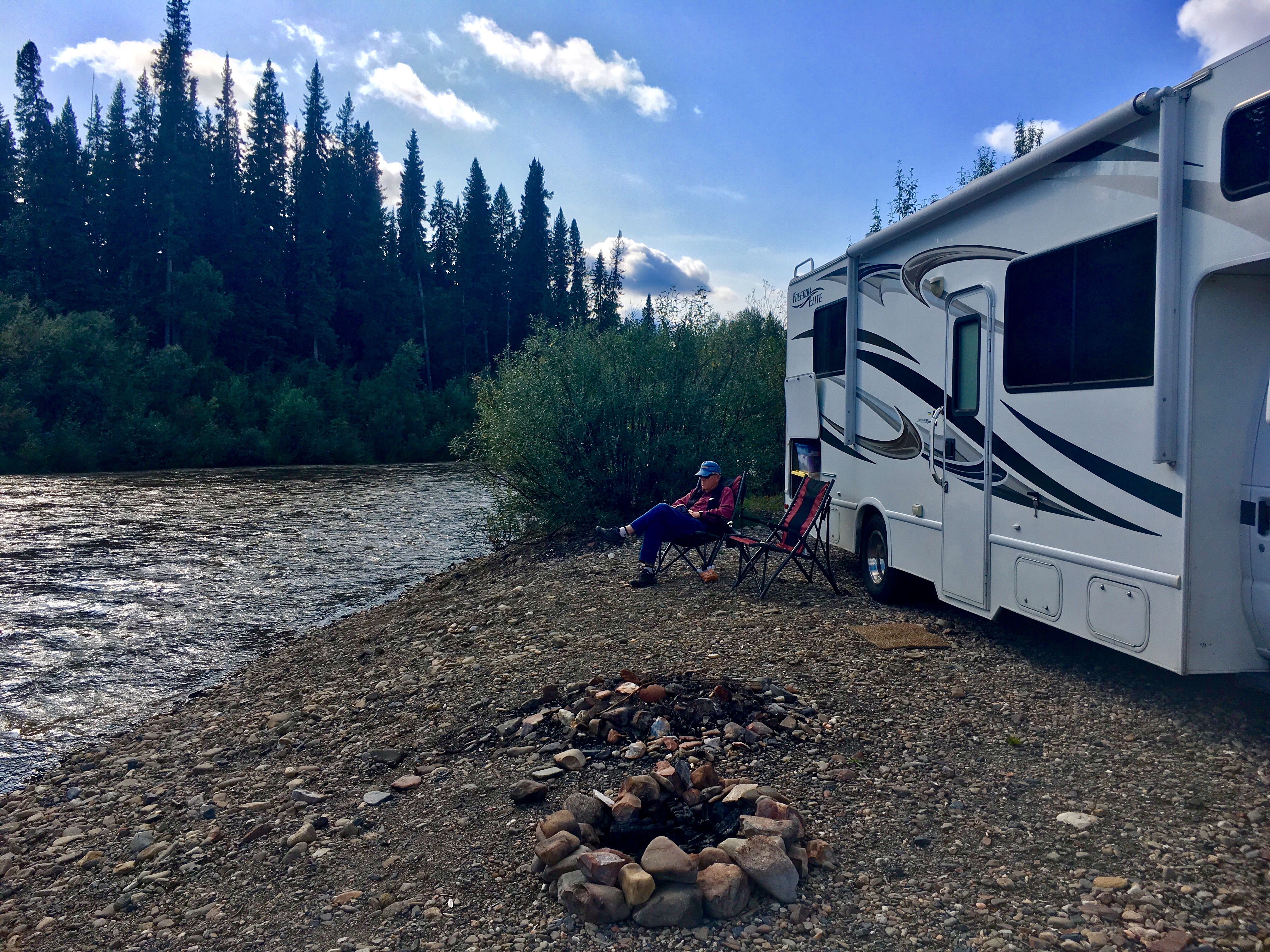
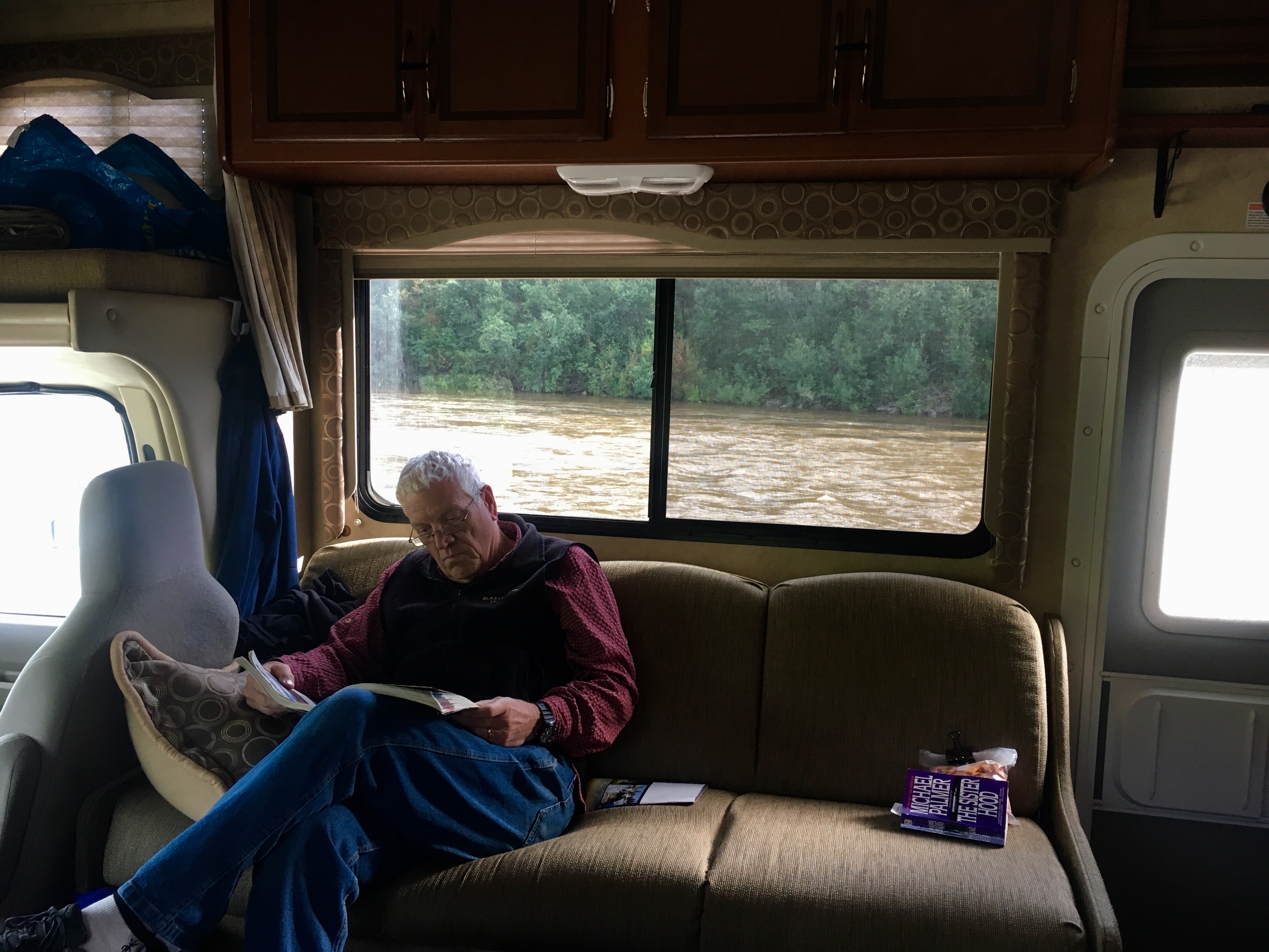
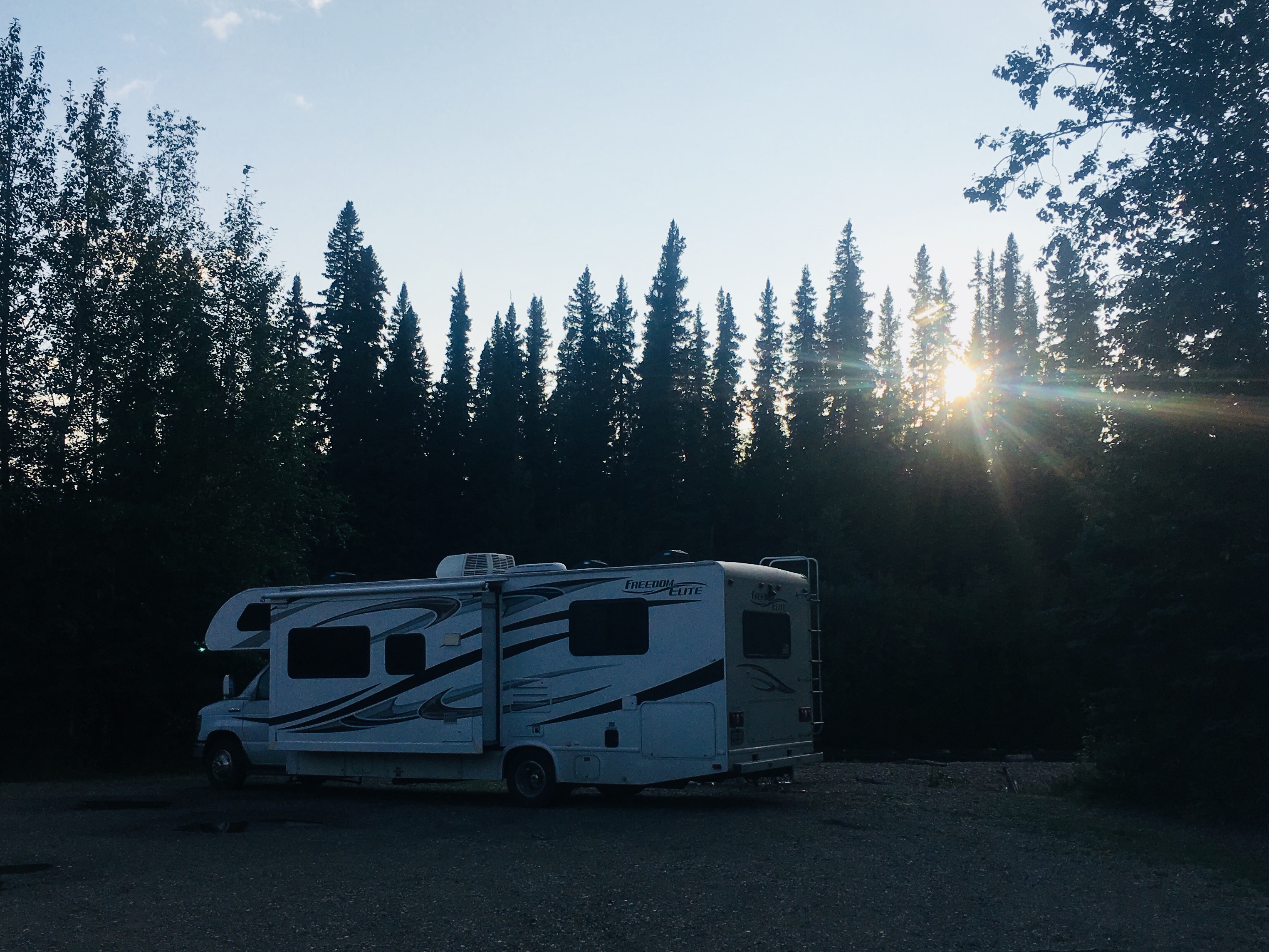
Not a bad view out the window!
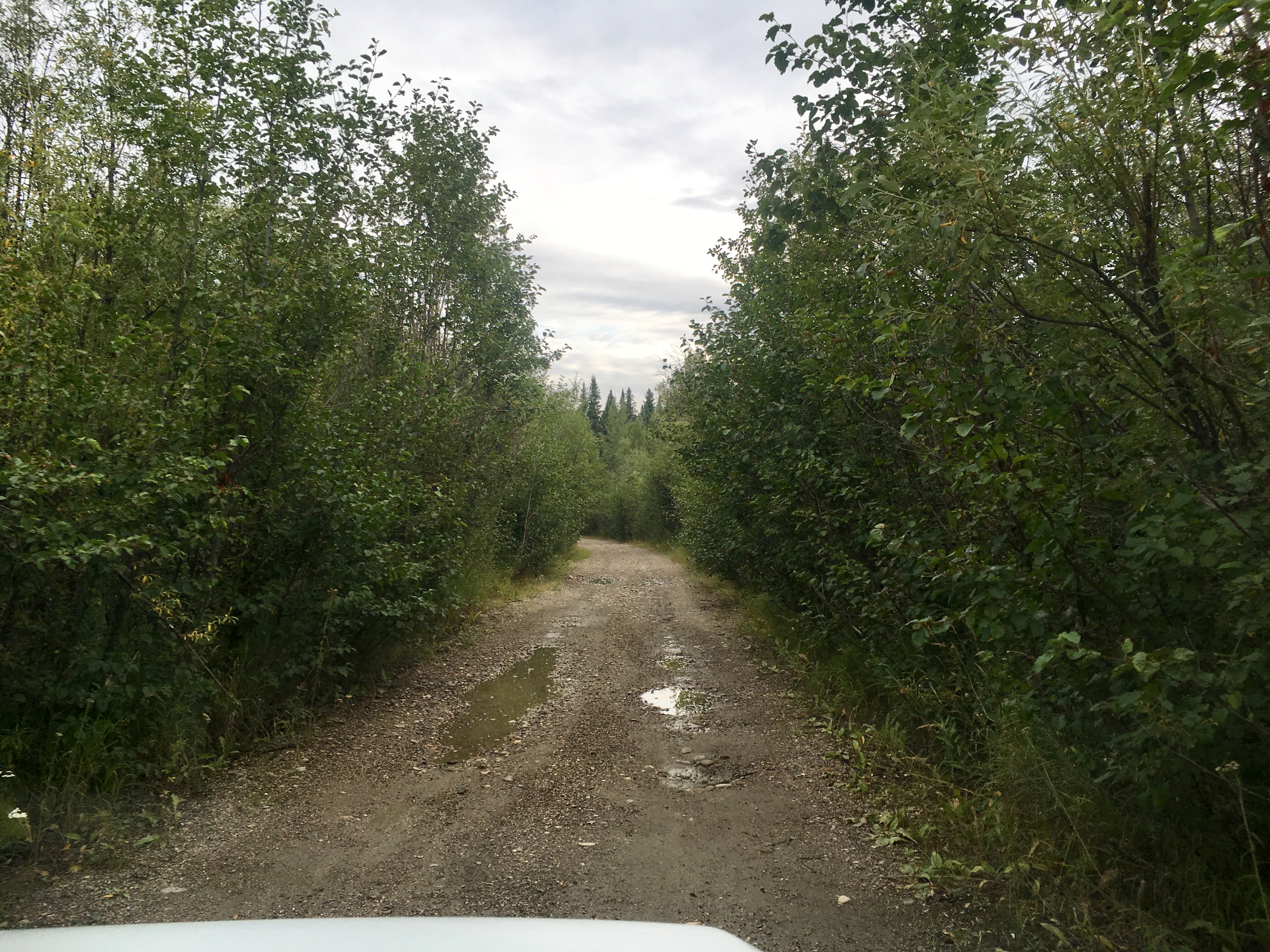
Some of the roads are better than others. Our tolerance for what conditions we were willing to drive on definitely changed during our trip.
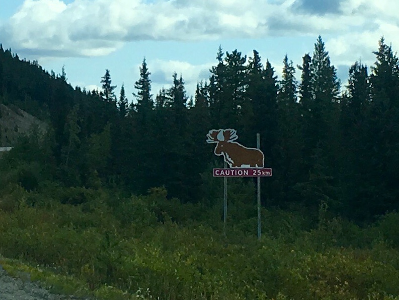
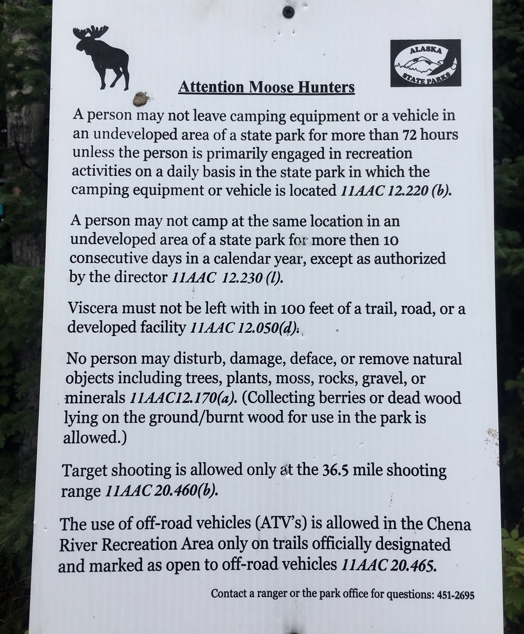
Most of the signs along the roads, especially the ones that saying “No shooting” seem to have the same problem, lots of bullet holes in them. Some sort of statement about the rebellious nature of Alaskans?
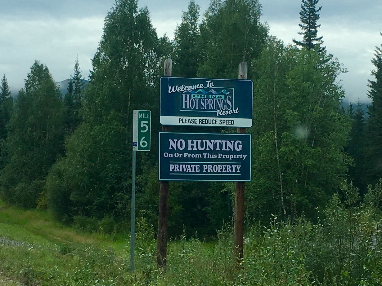
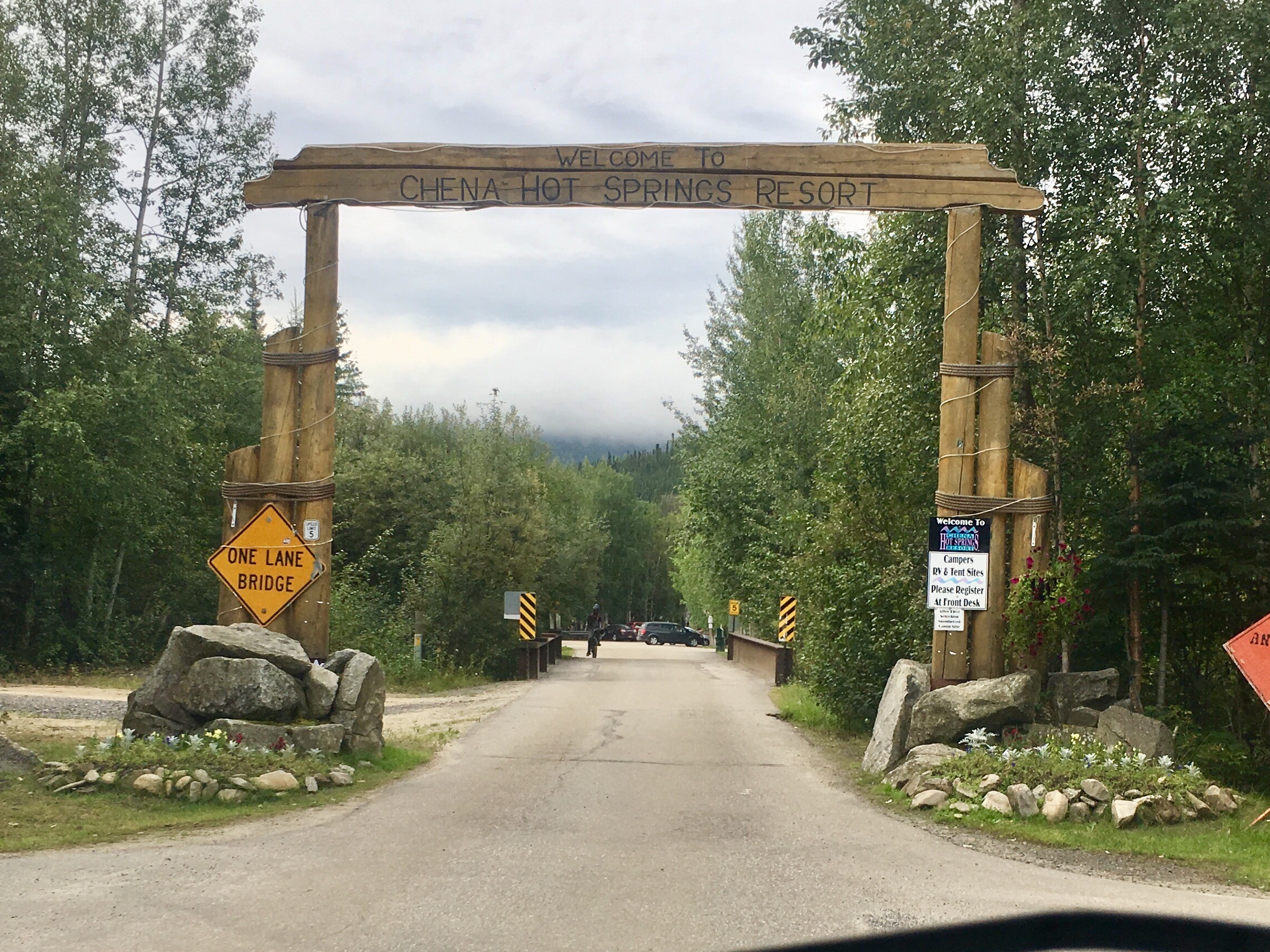

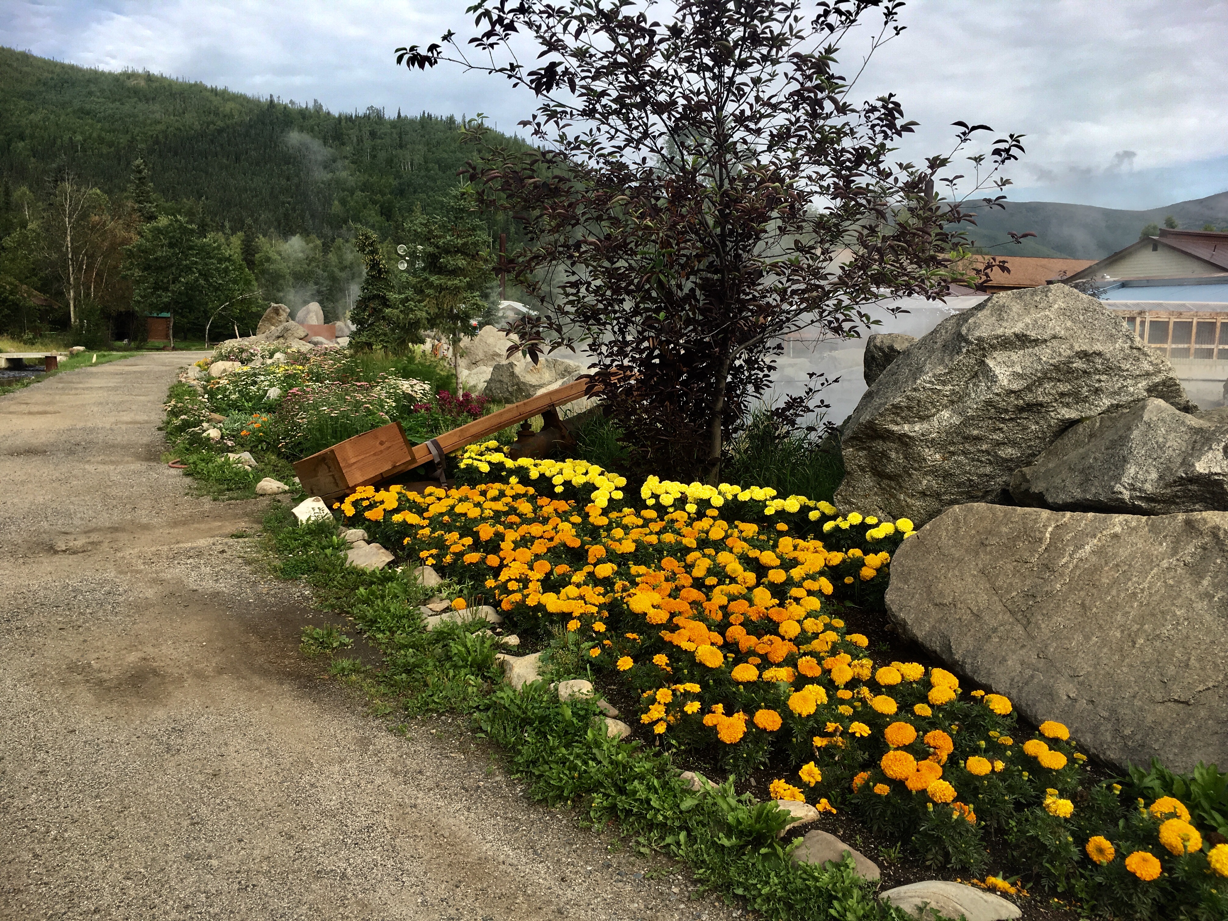
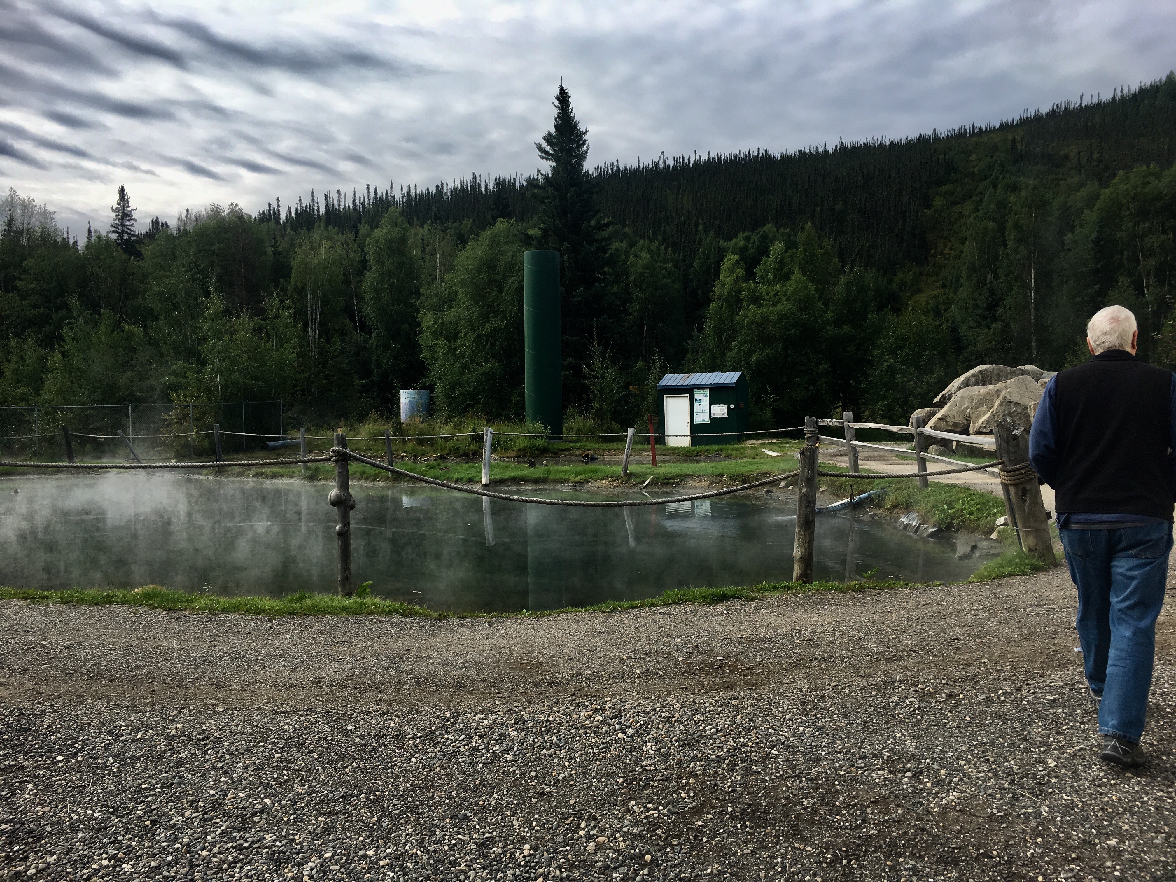
The hot springs in the north are pretty spectacular. Cold air, cold water everywhere and then a hot spring with water well over 100 deg F. We met a local couple who run a lodge down the road from the hot spring. The only reason they were there was because the weather was unusually cold for the summer. But they said they are there almost every winter weekend. Something about taking a dip in the hot spring when it’s 30 or 40 below 0. They said it’s the only way to warm up their bones!
We ended up going to 3 different hot springs during our trip: Chena, Takhini, and Liard. Only Chena was in Alaska.

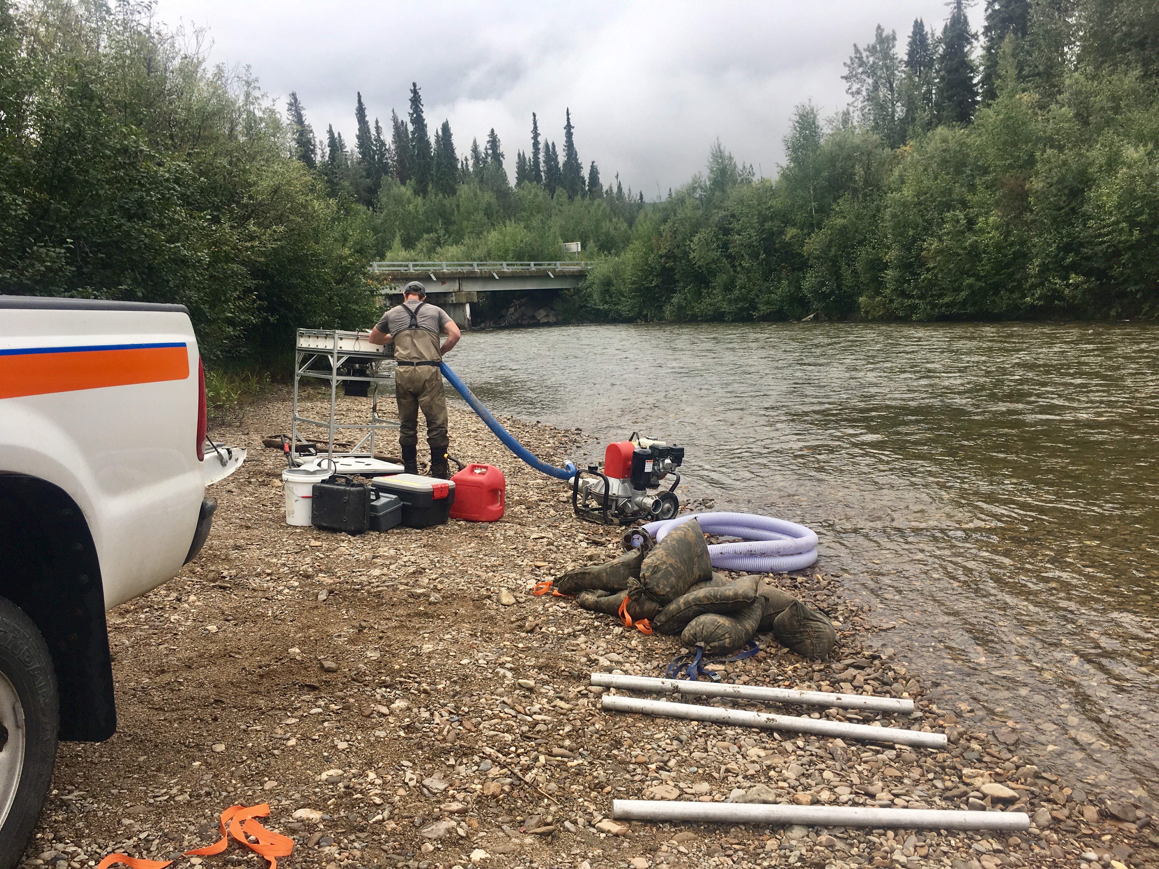
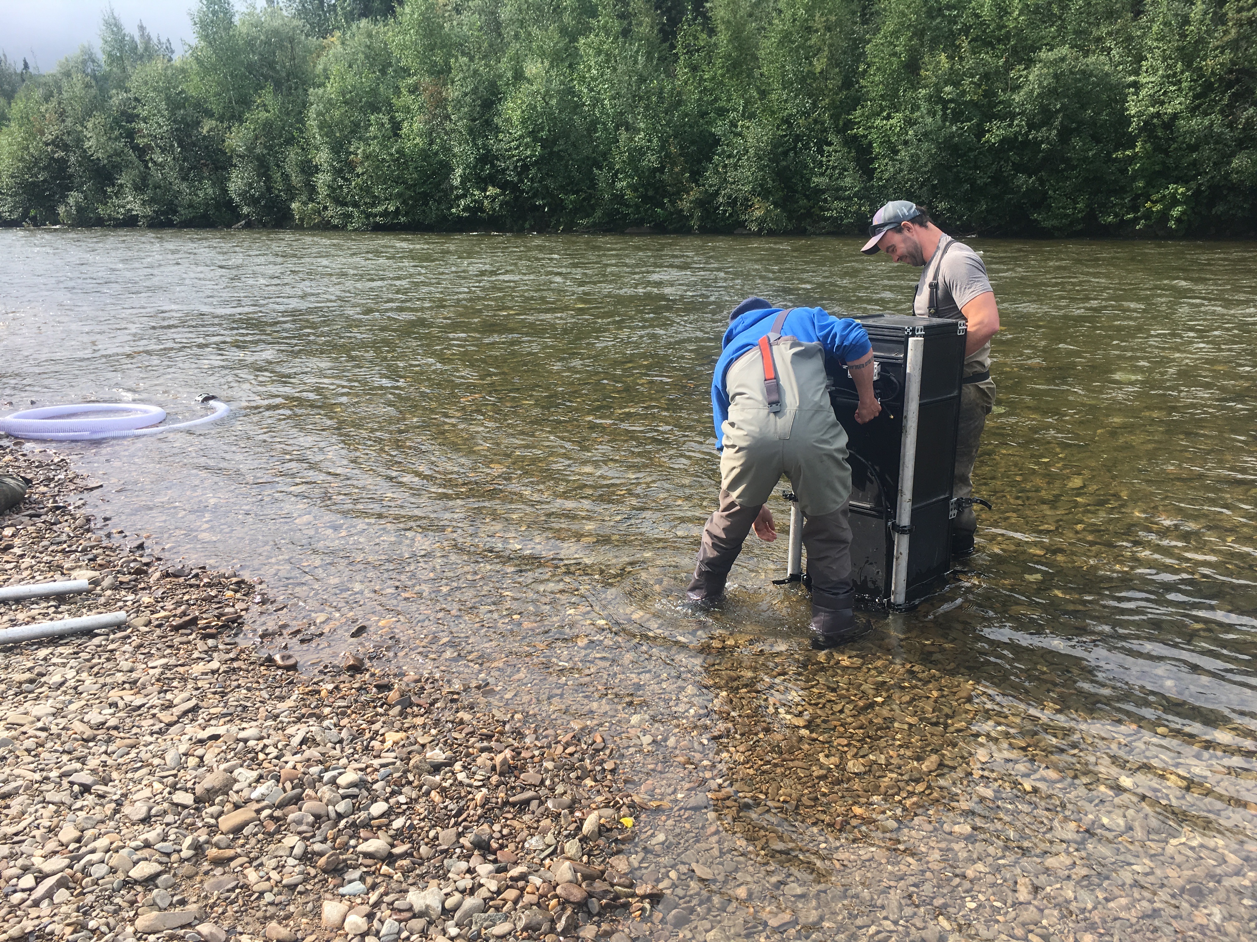
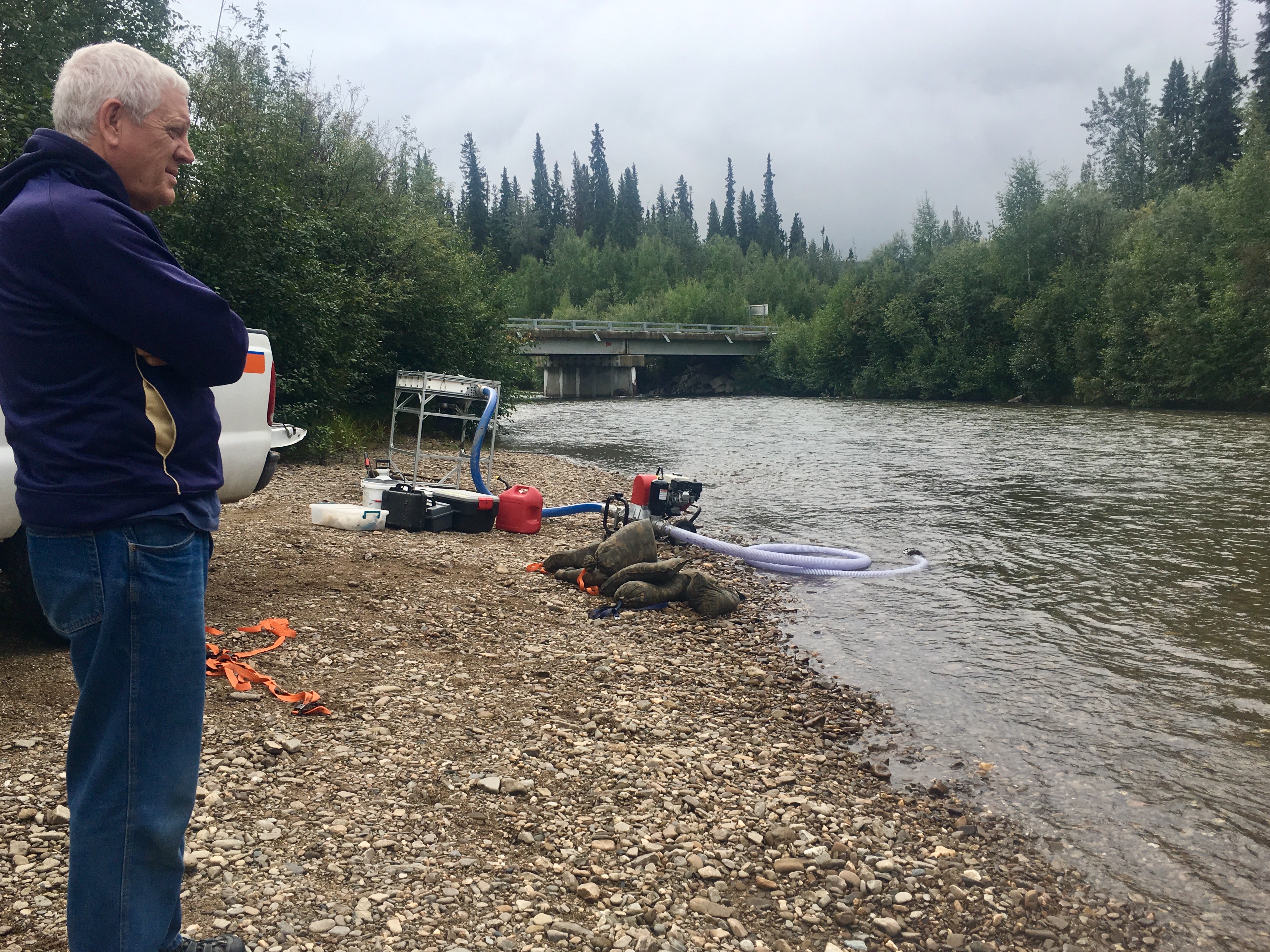
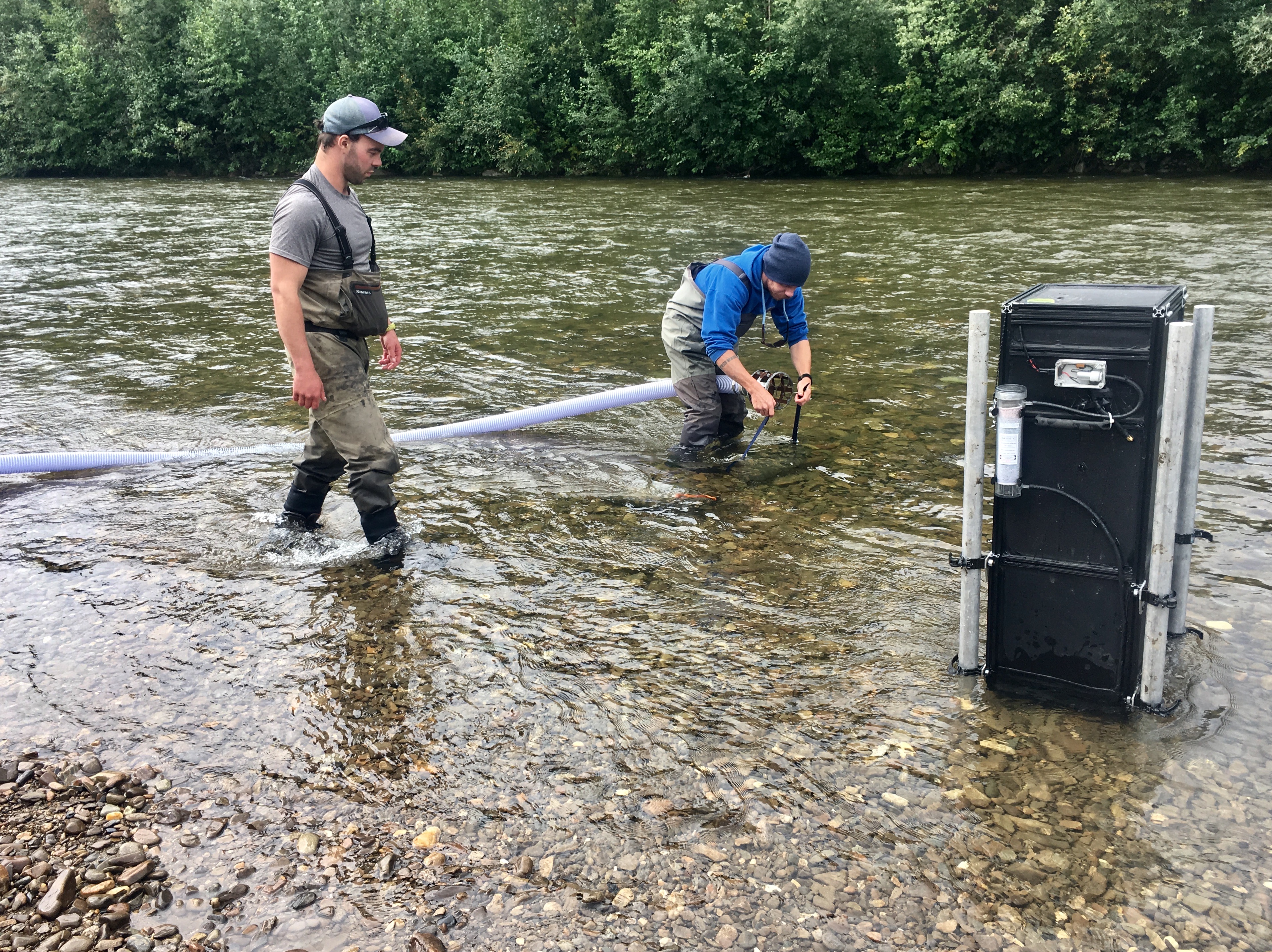
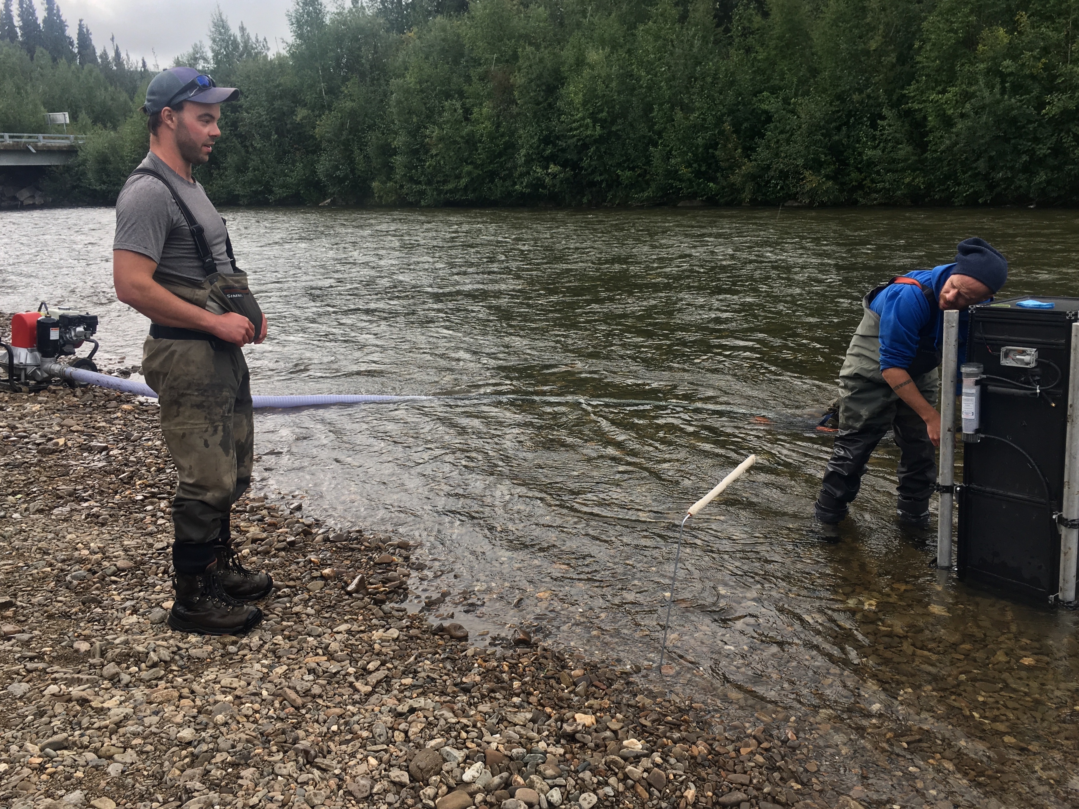
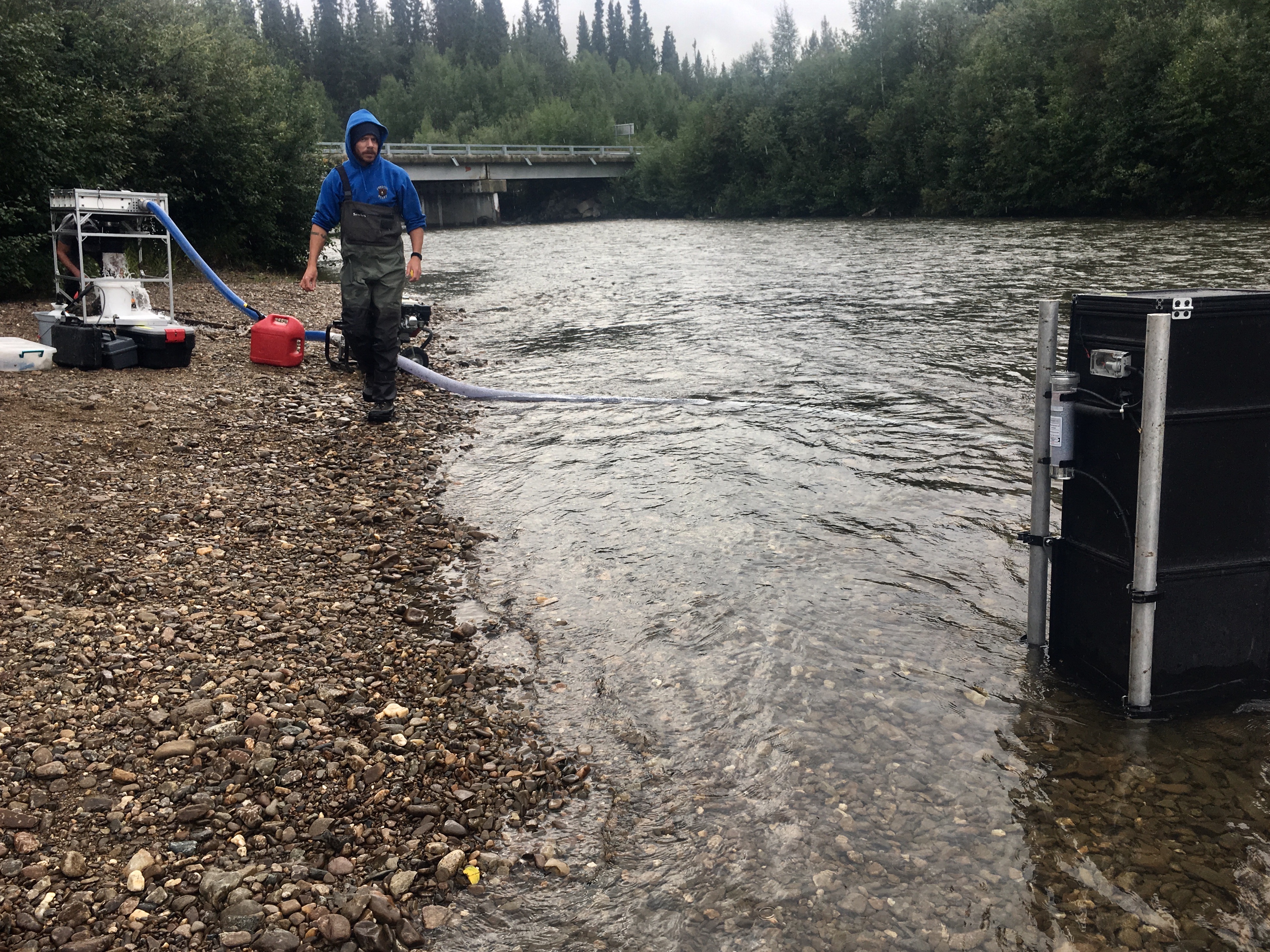
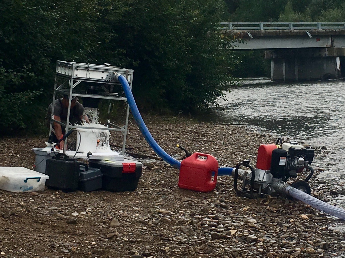
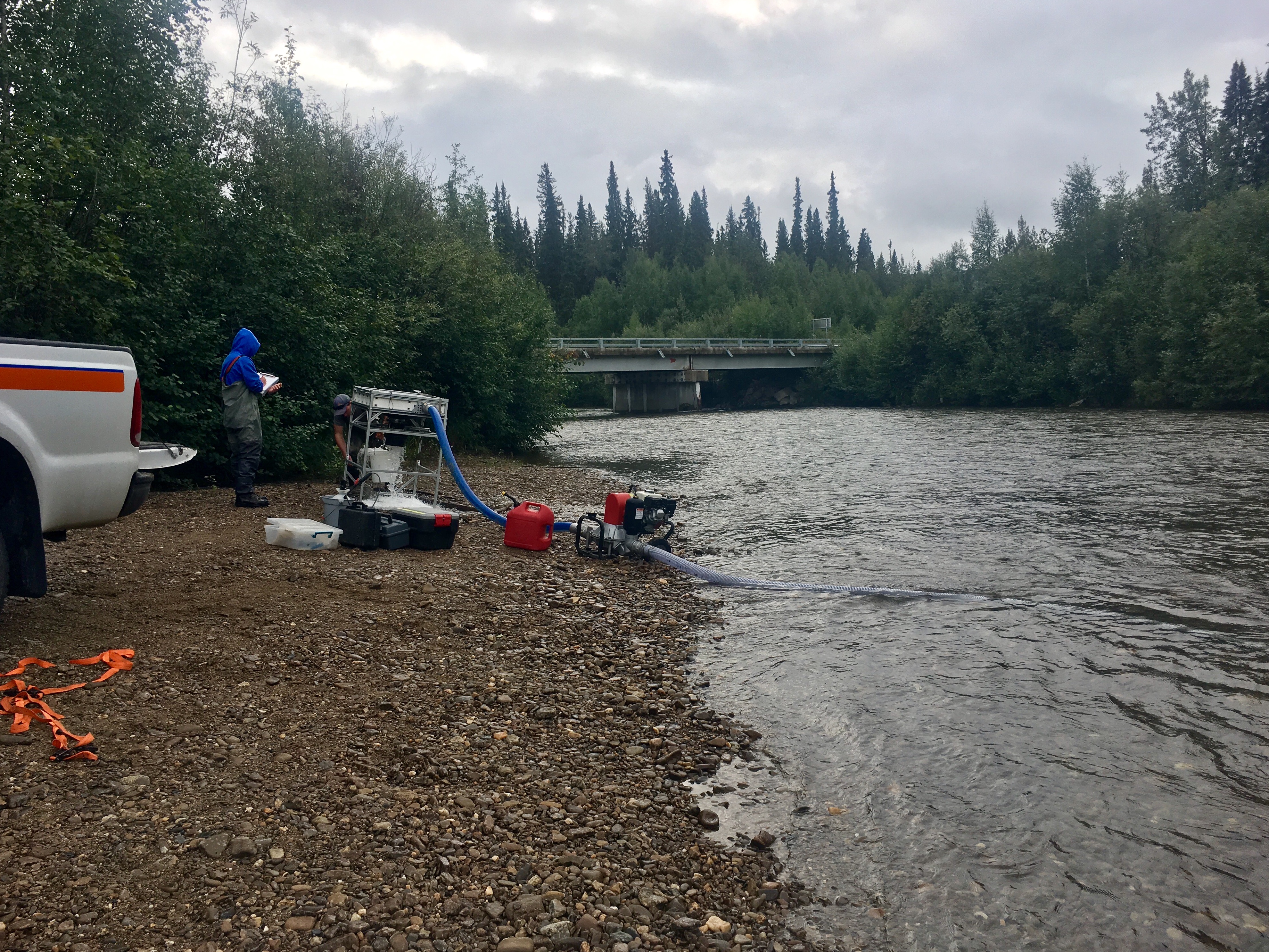
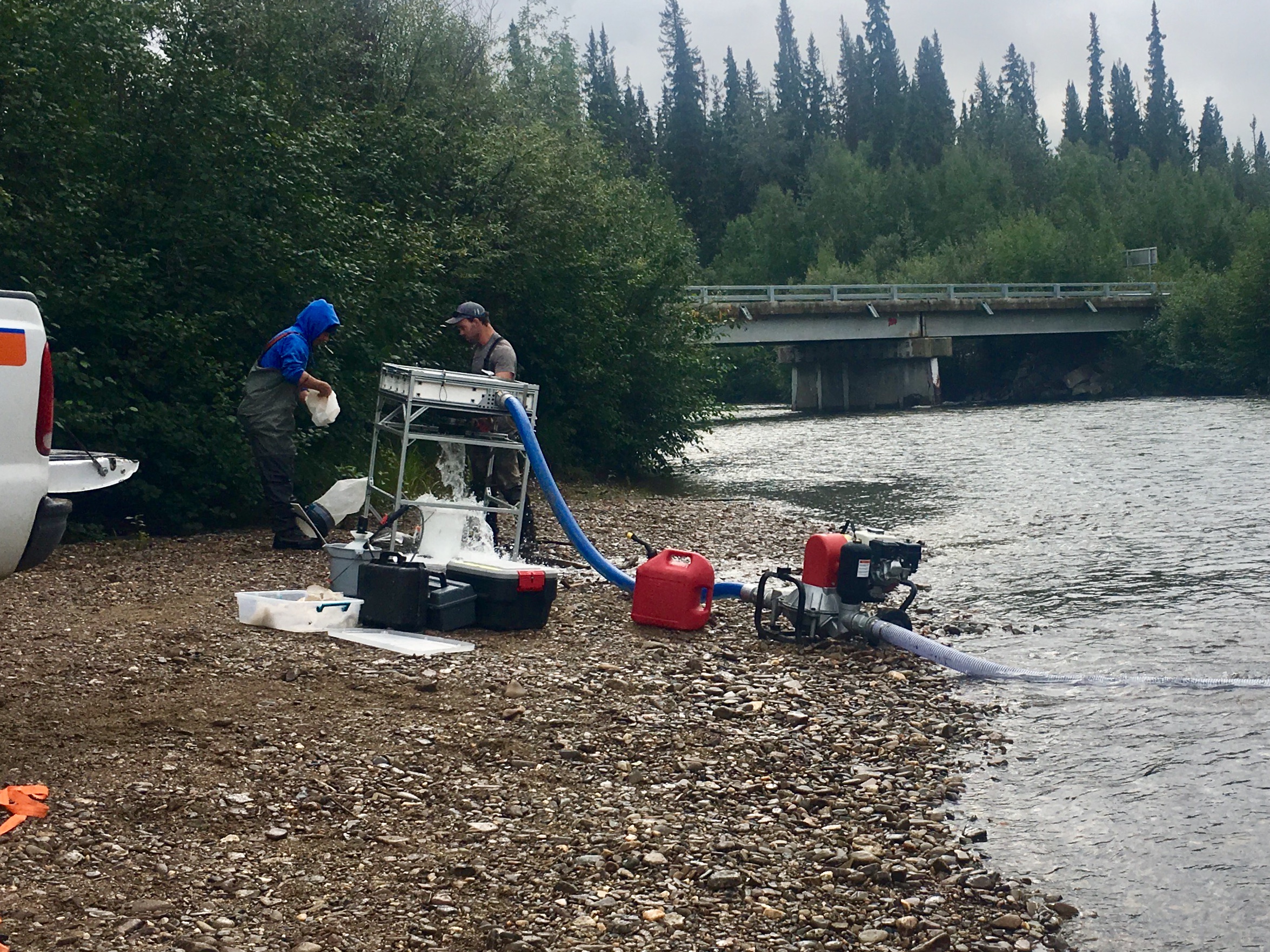
While we were camped, an environmental researcher stopped by the river to collect samples. He’s studying the food supply that salmon eat. They spent about an hour setting up their equipment and then about an hour taking the sample. Talking to them was very interesting.
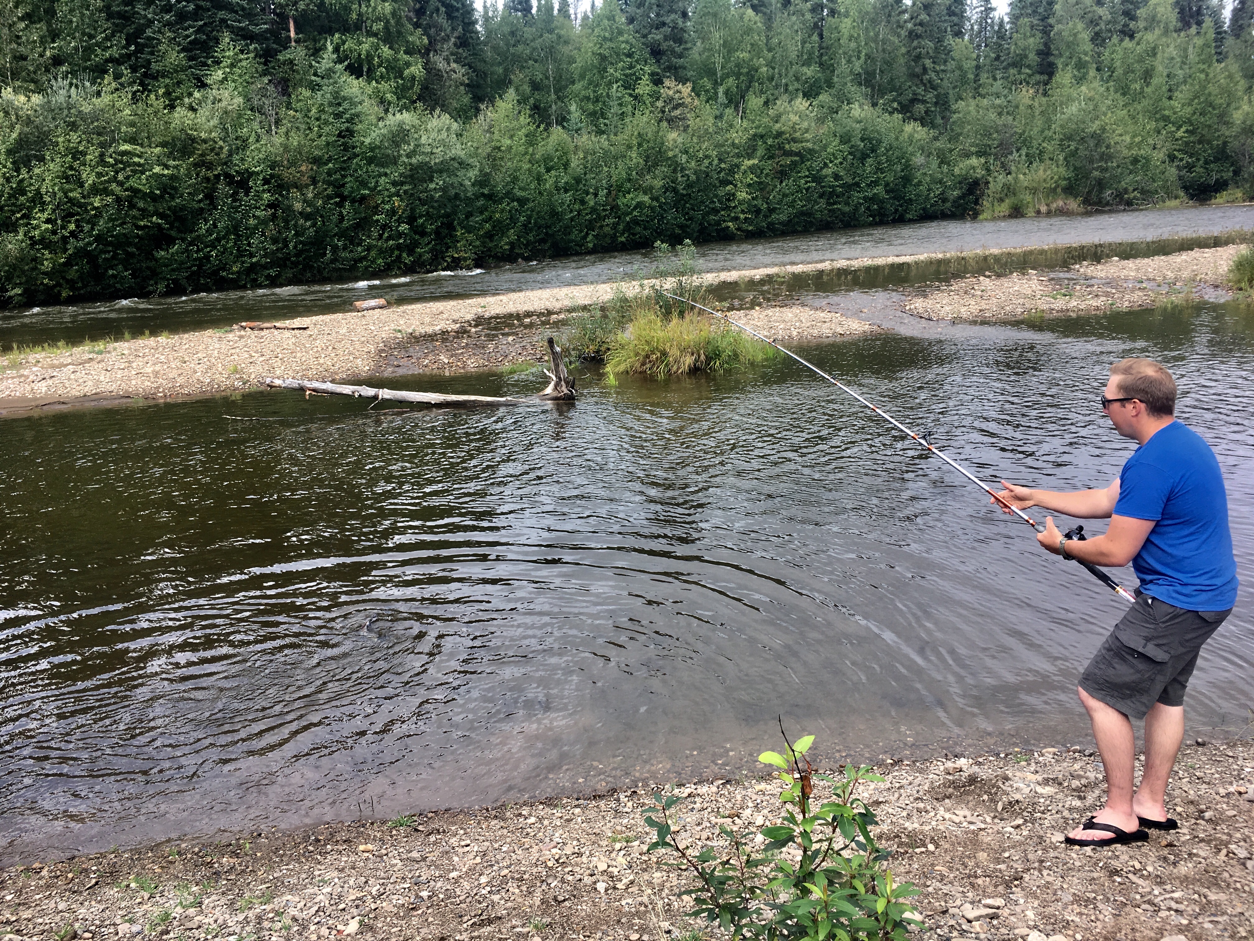
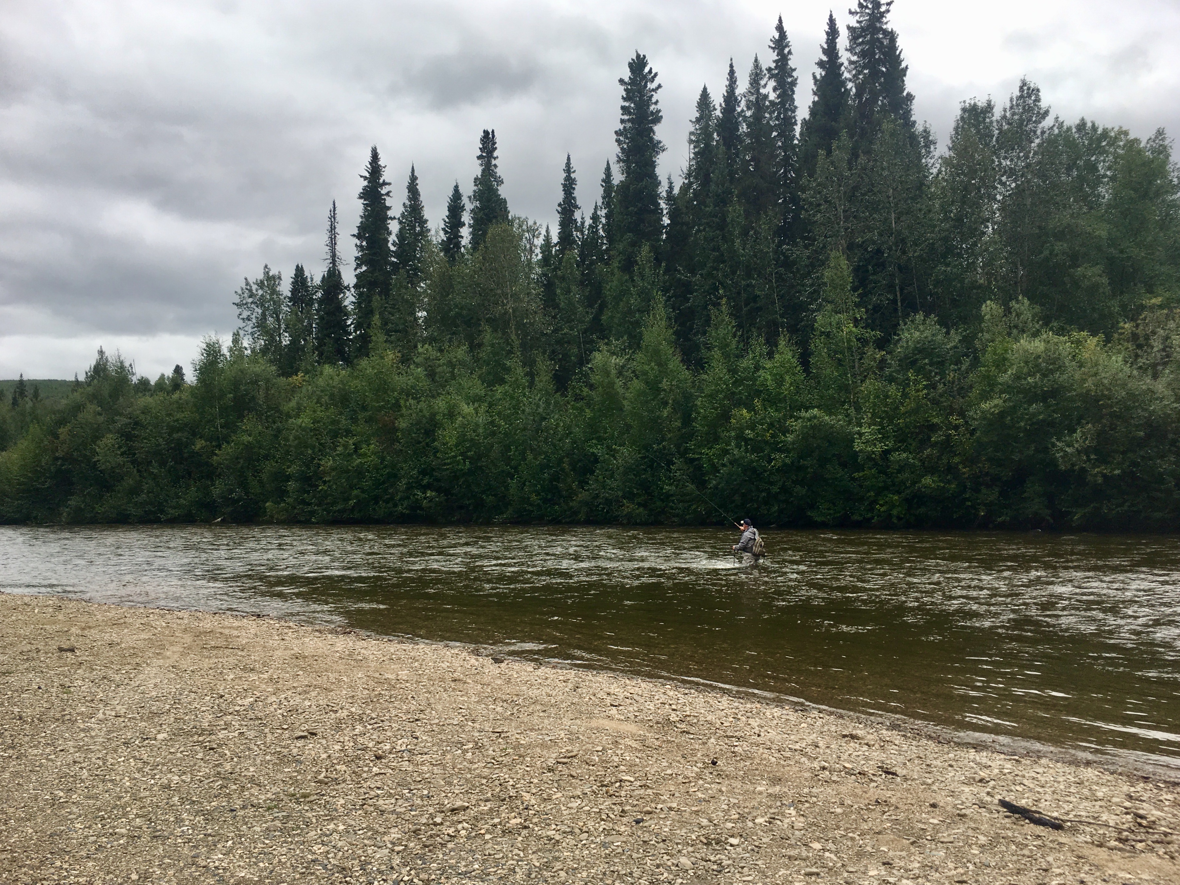
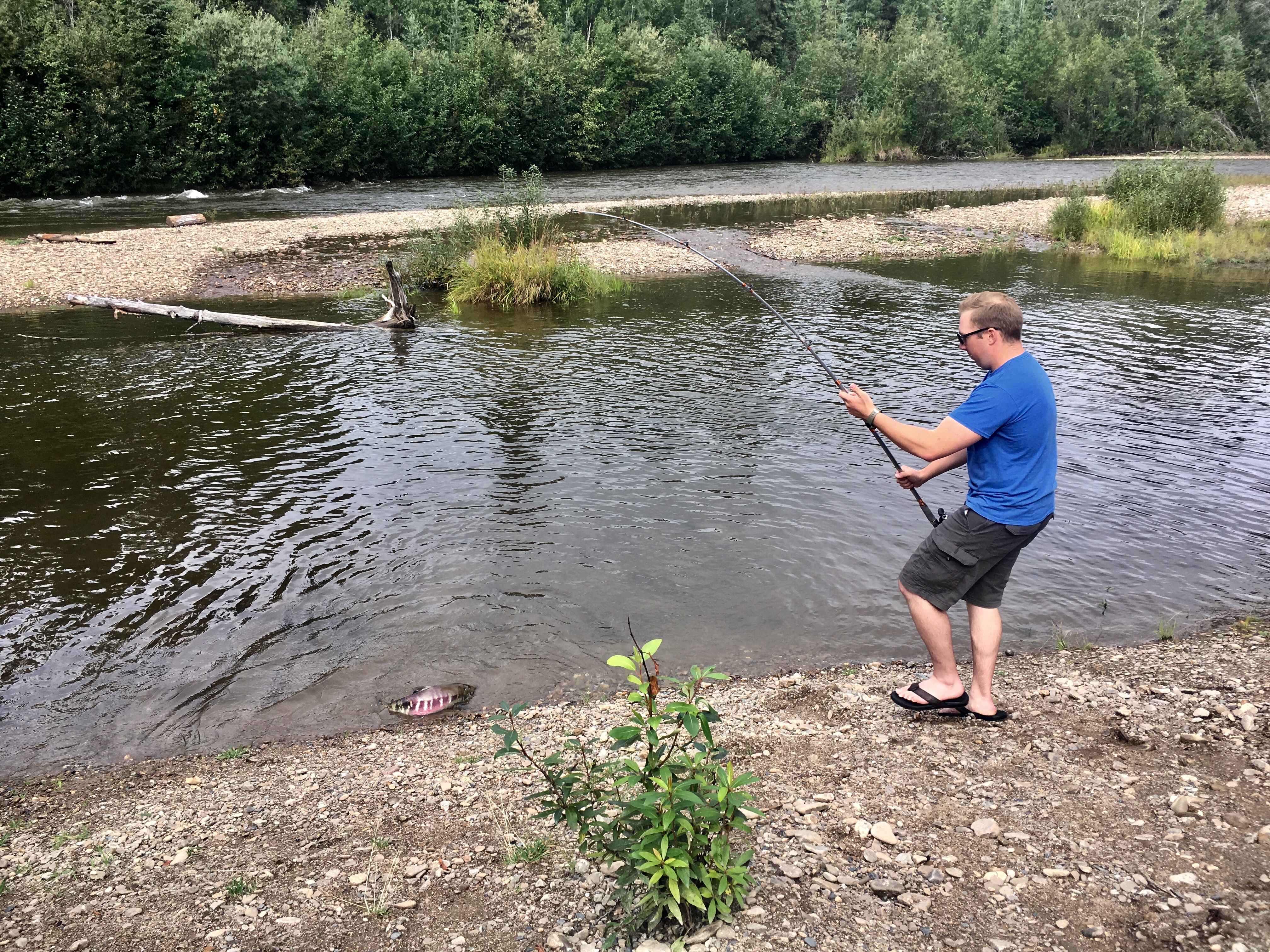
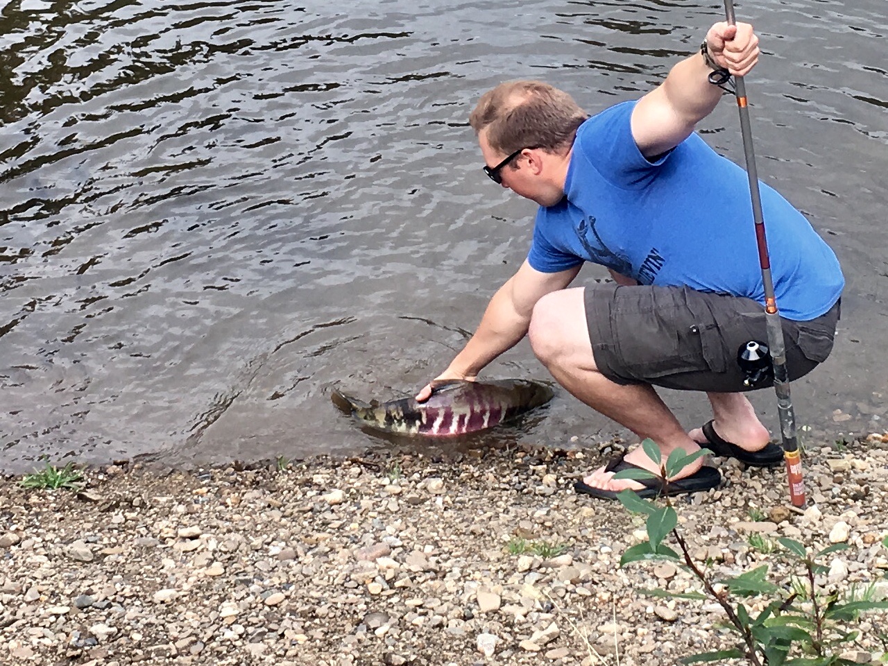
A few people stopped by our campsite to fish. This guy was the only one successful.
But if not…
