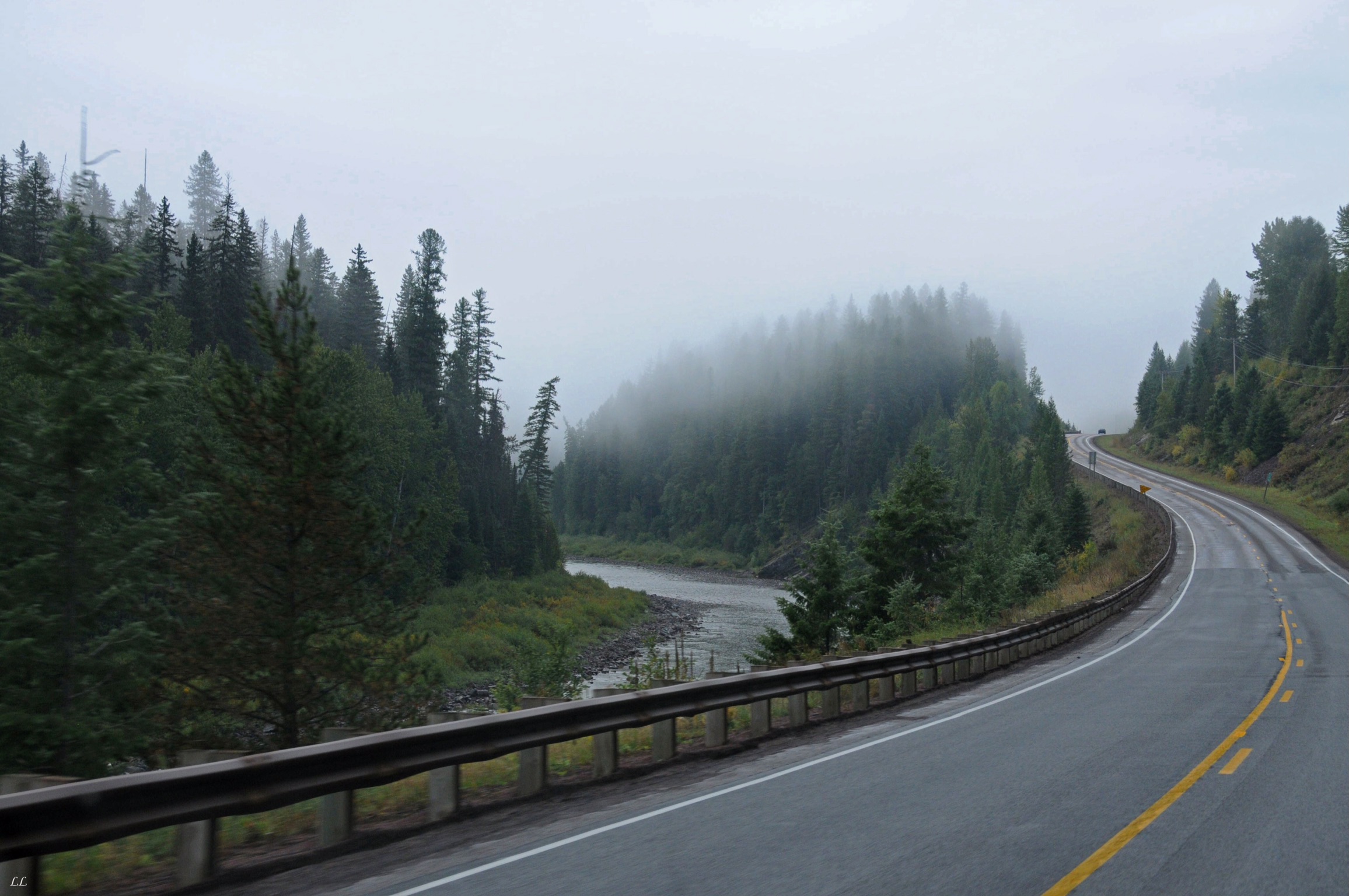
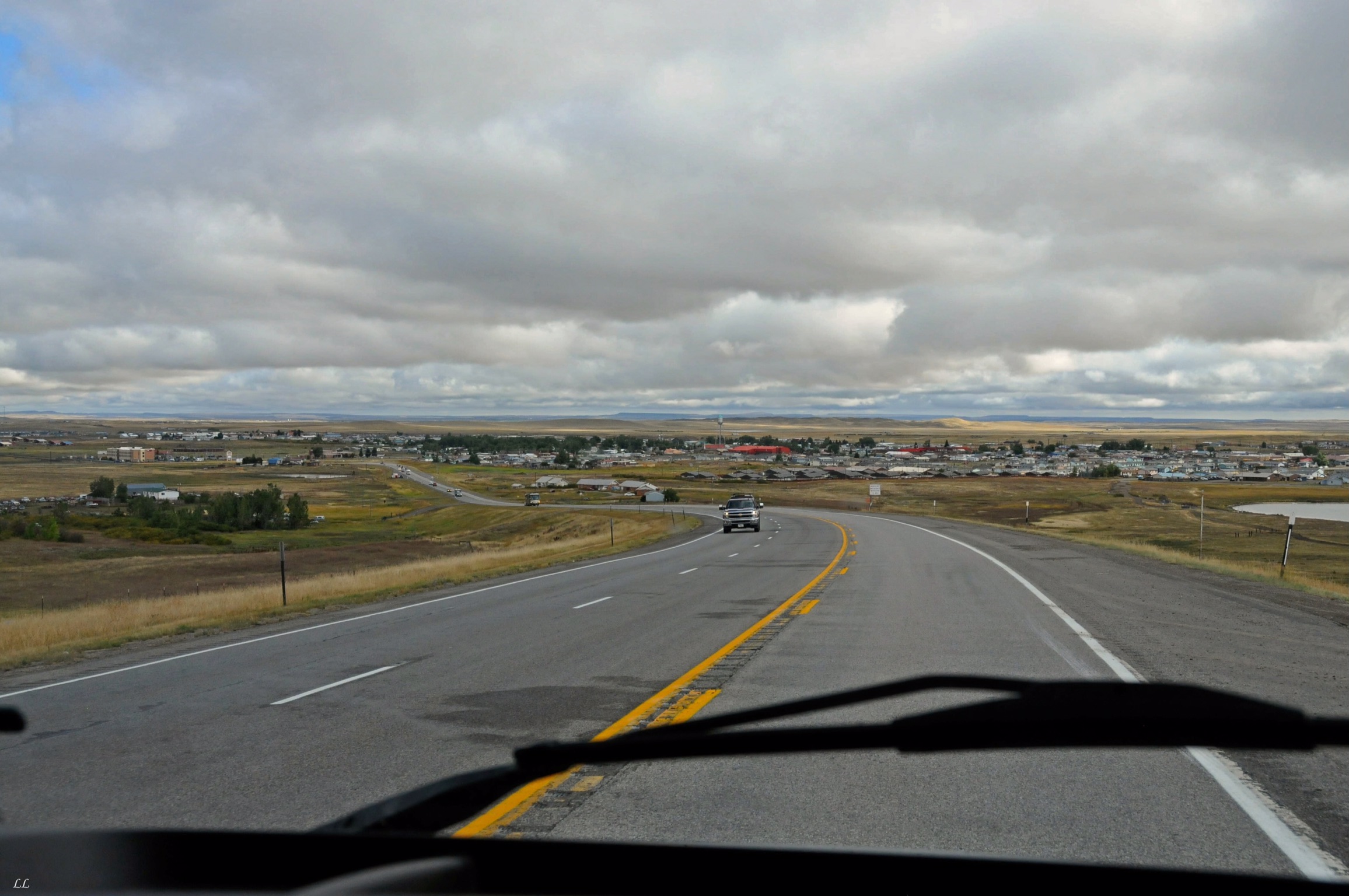
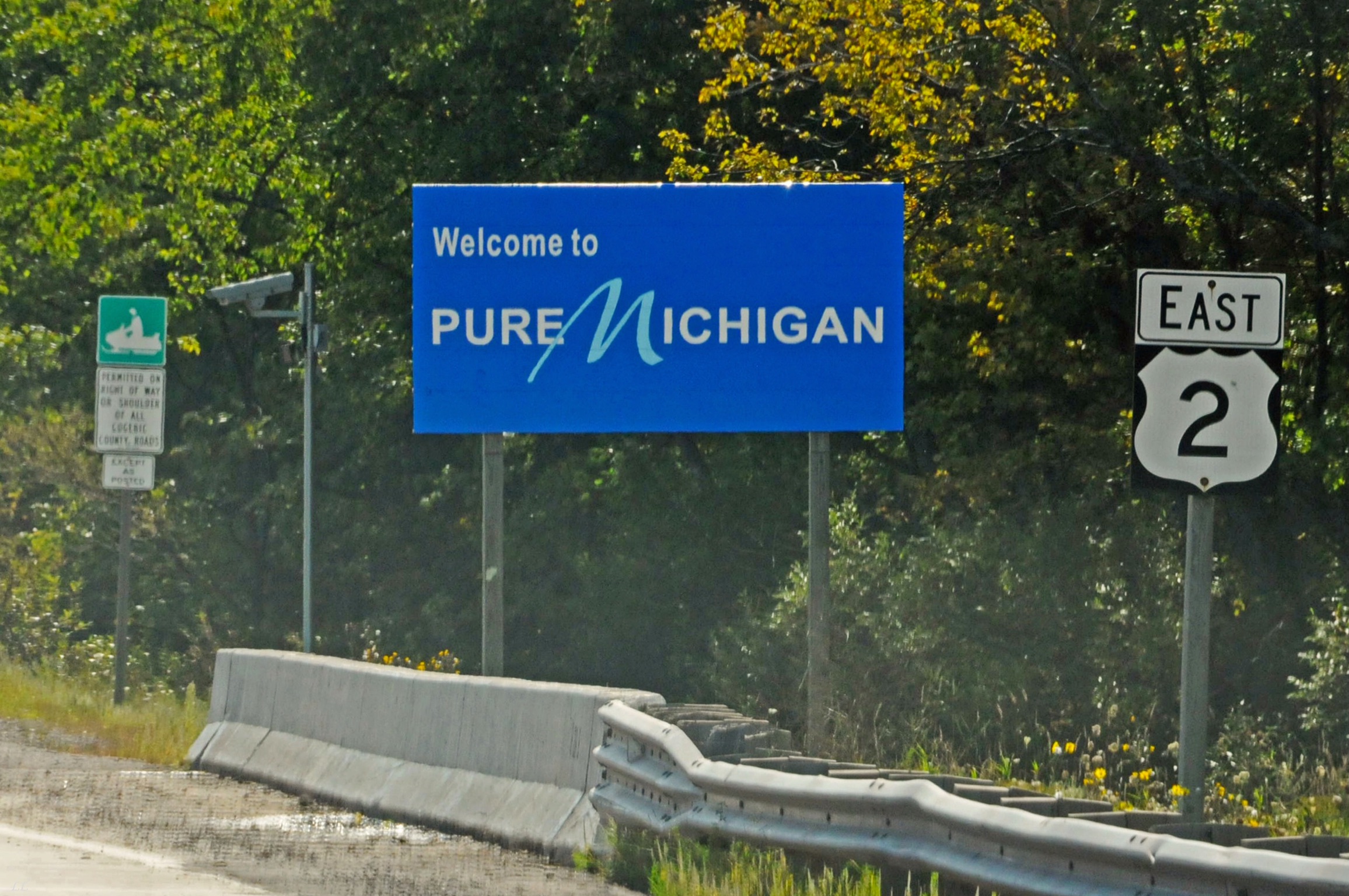
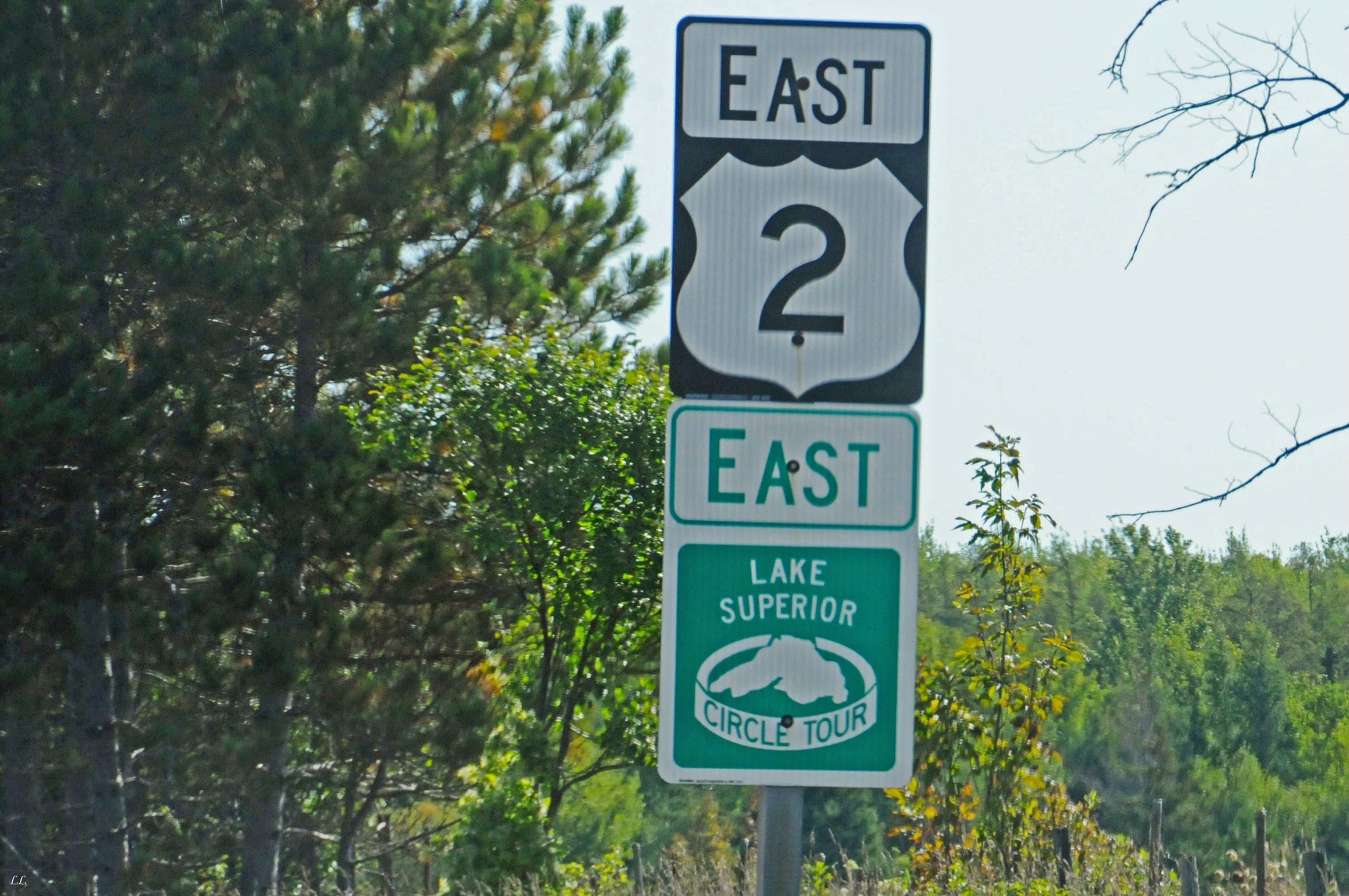
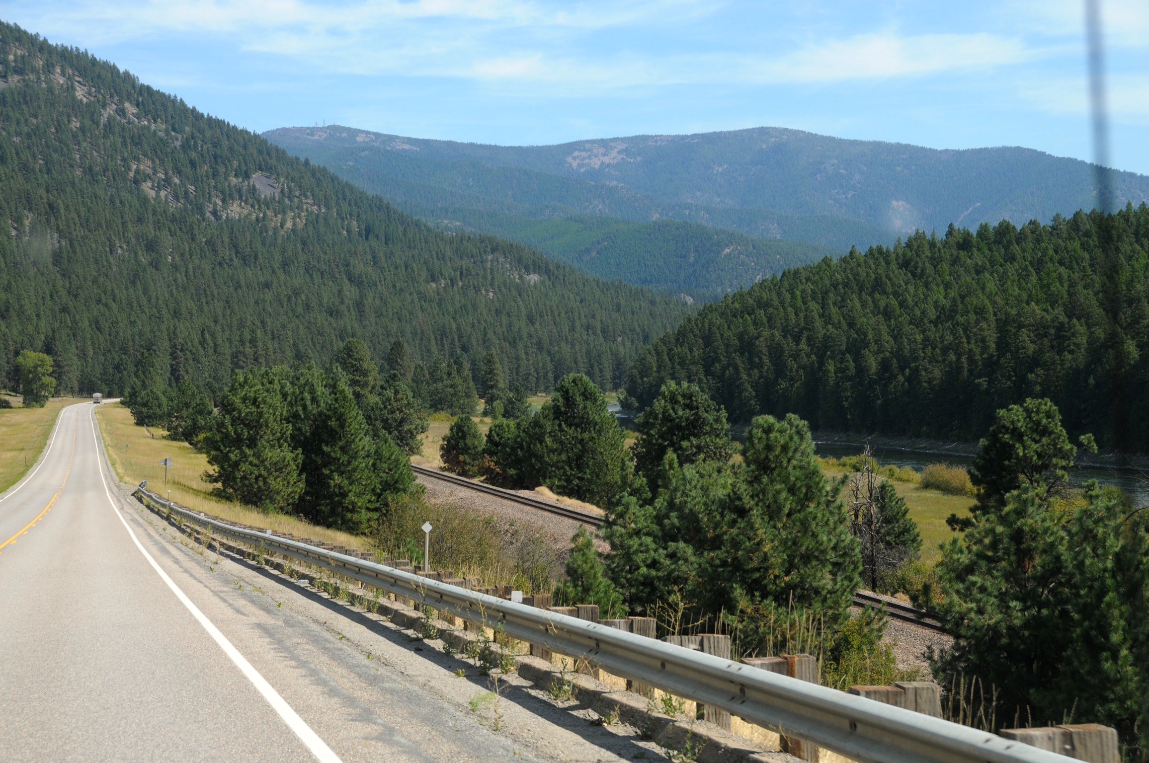
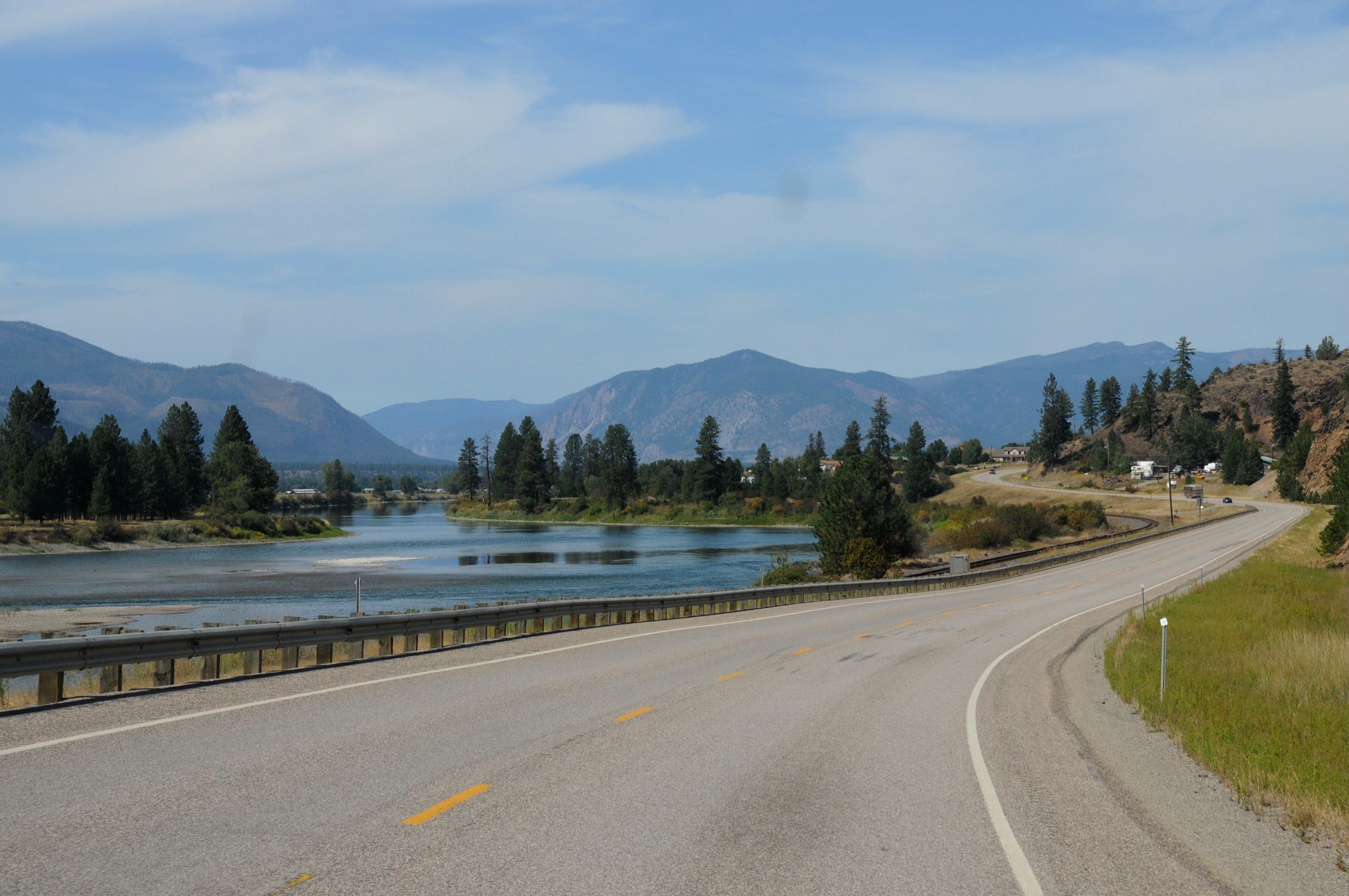
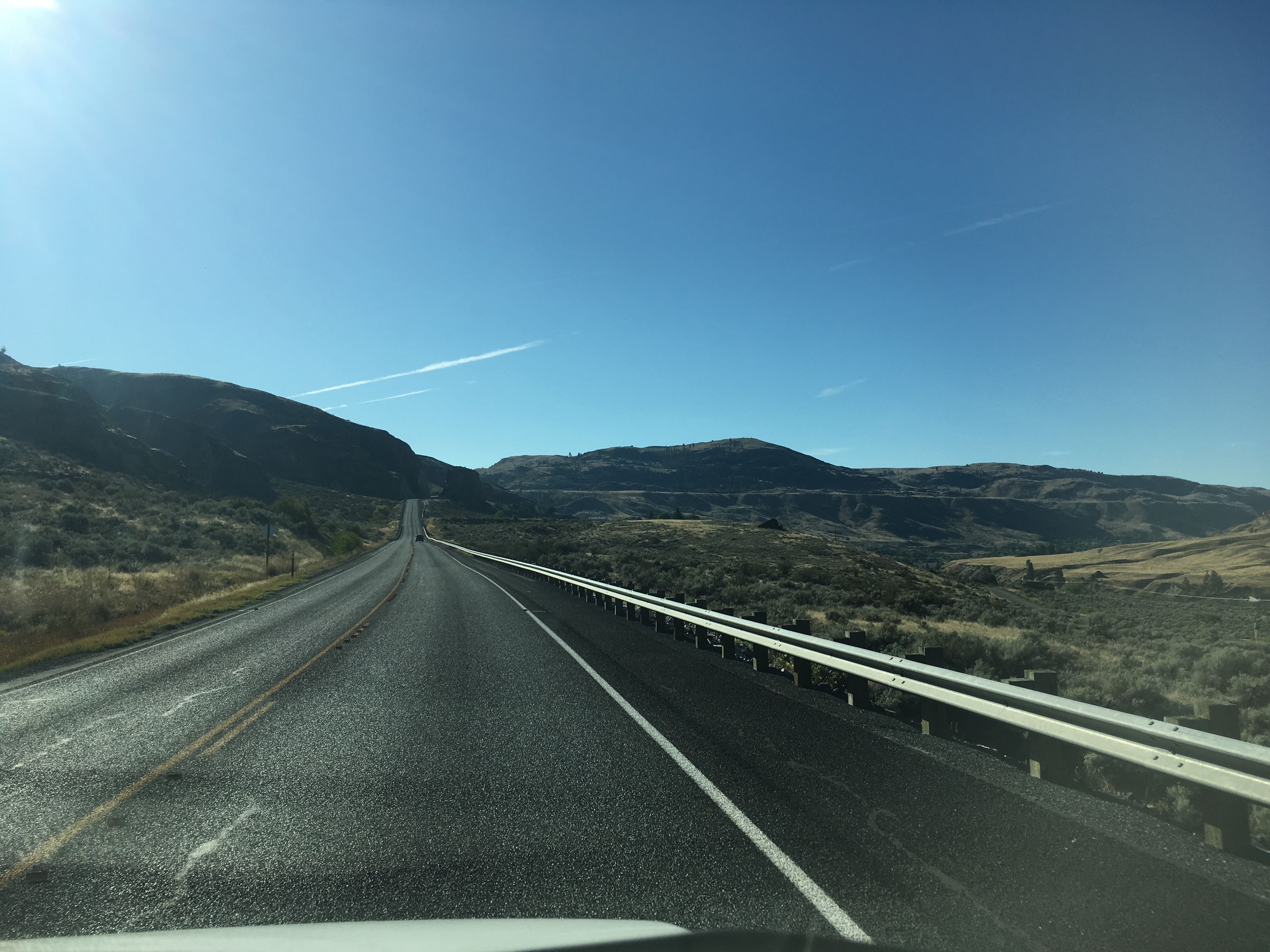
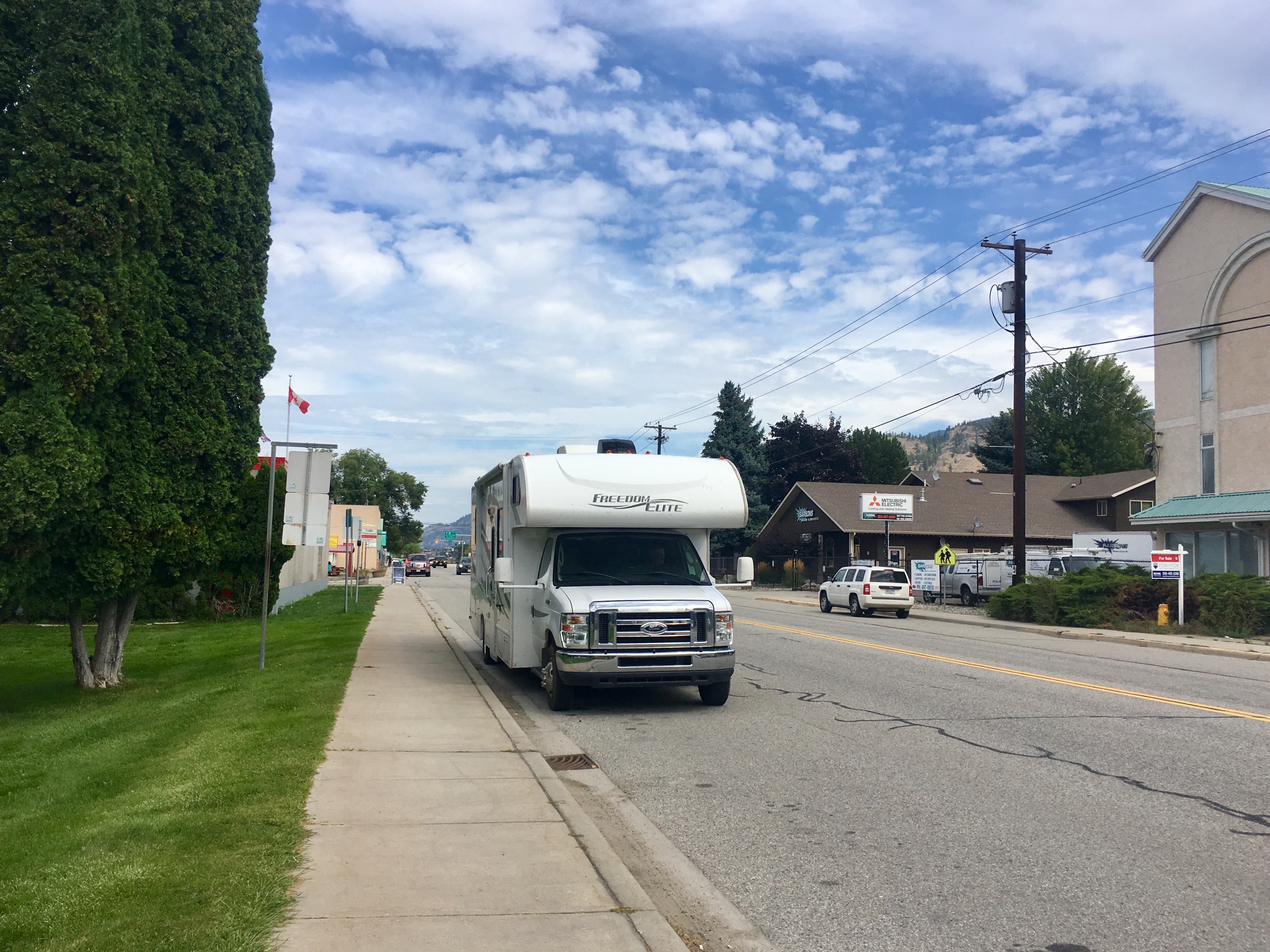
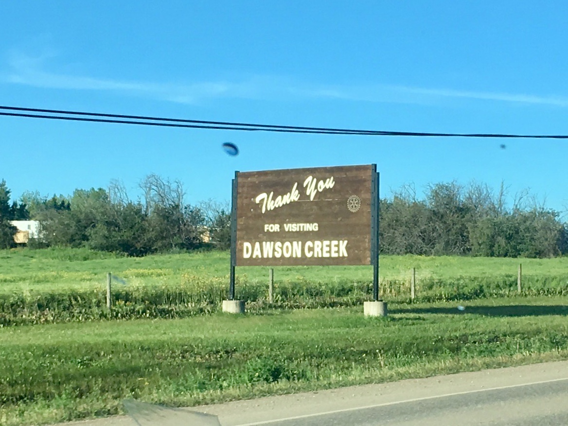
After leaving Glacier, we continued east on “The 2.” It’s a fun drive through varied landscapes and lots of small towns.
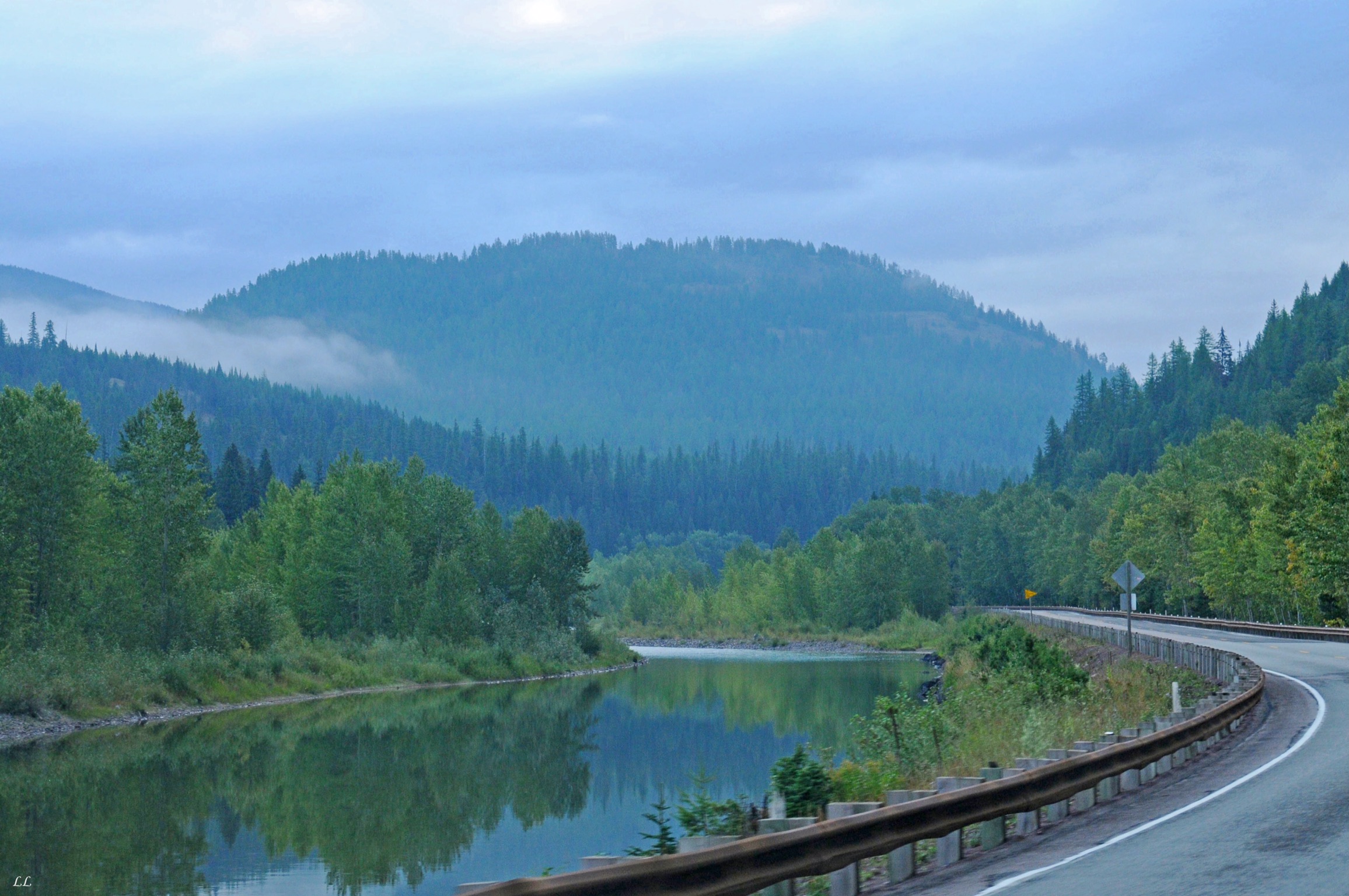
One of the things that we enjoy most about traveling is the travel itself. In other words, just seeing the varied scenery go by and soaking in the different sights along the way. We never know exactly what is coming around the next turn, but the anticipation rarely matches the reality.
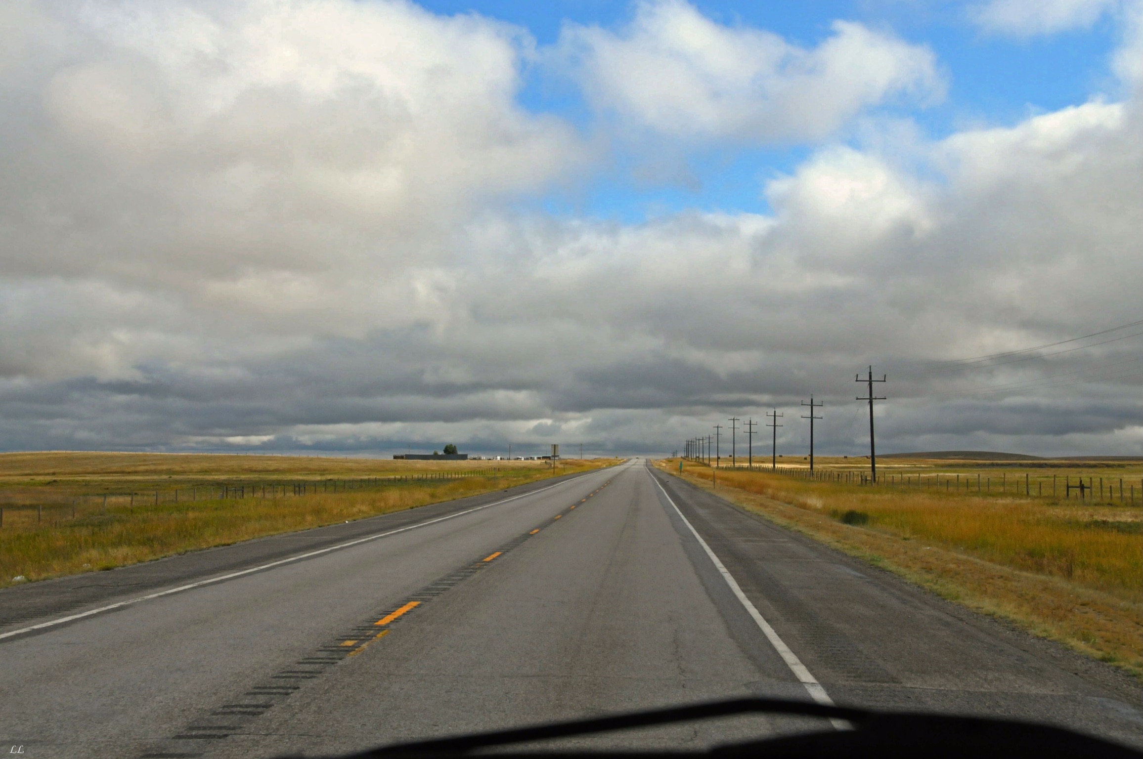
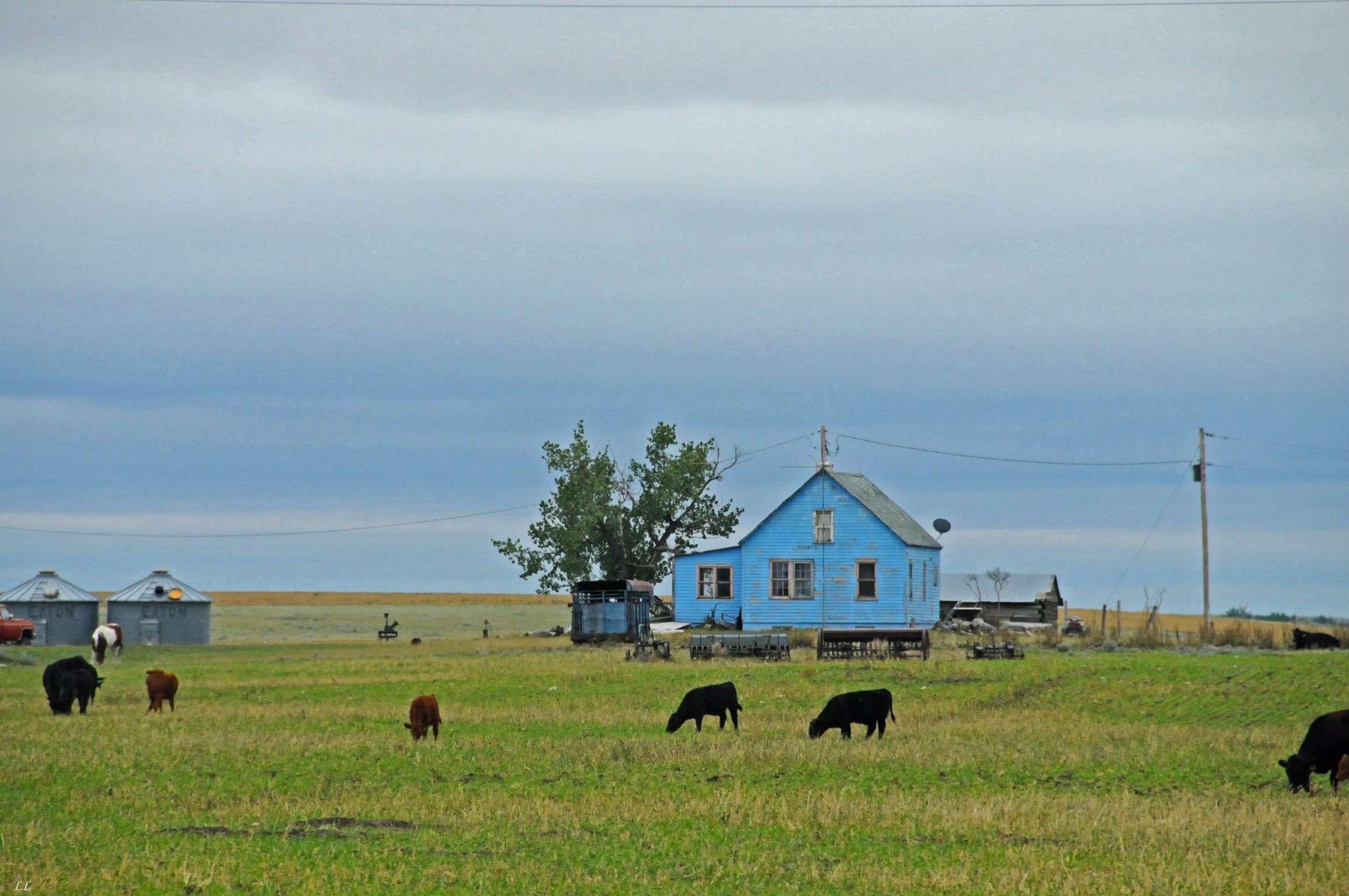
Flat, flat country – and lots of it!!
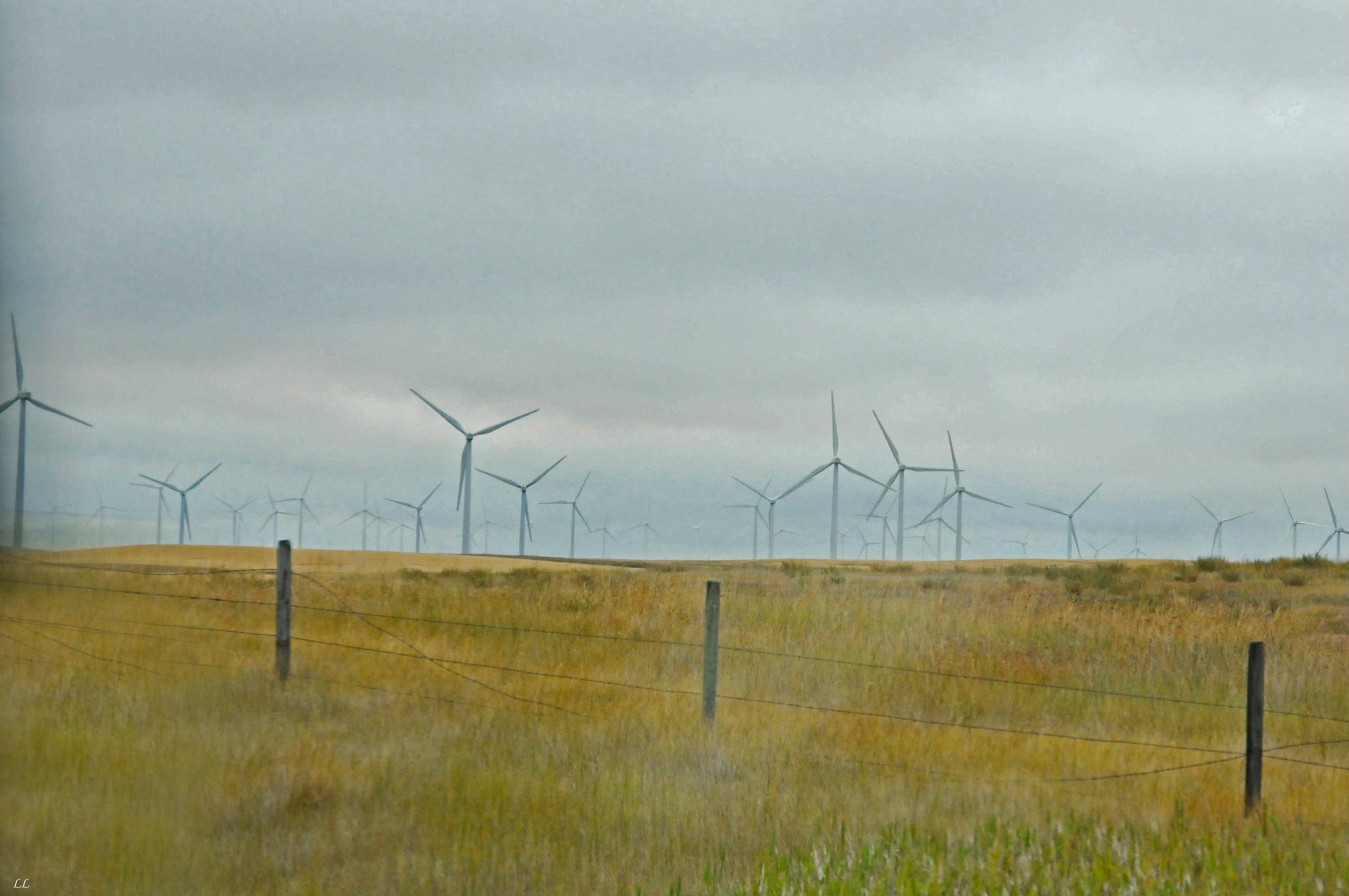
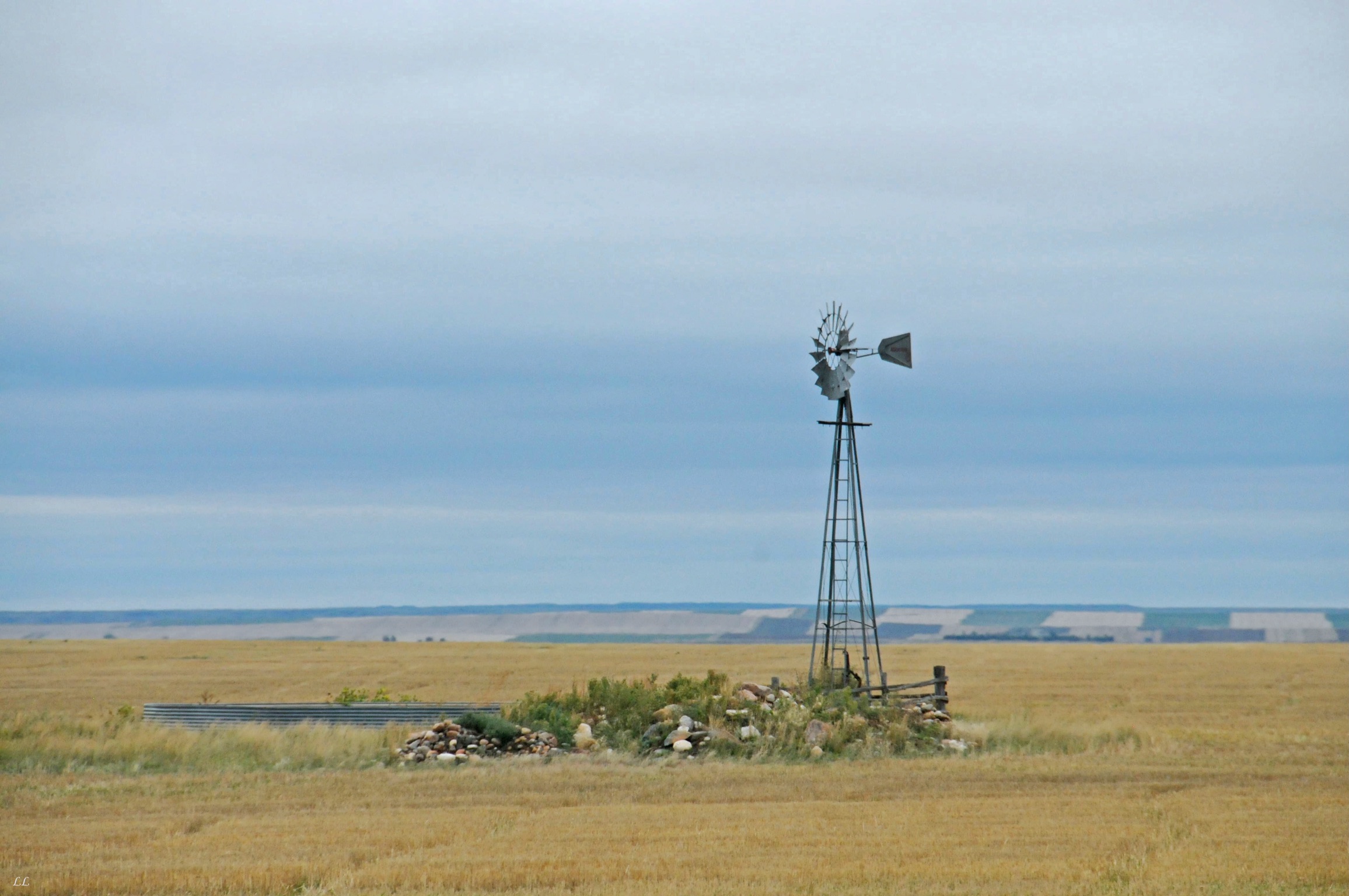
Lots of wind power, as long as the wind blows.
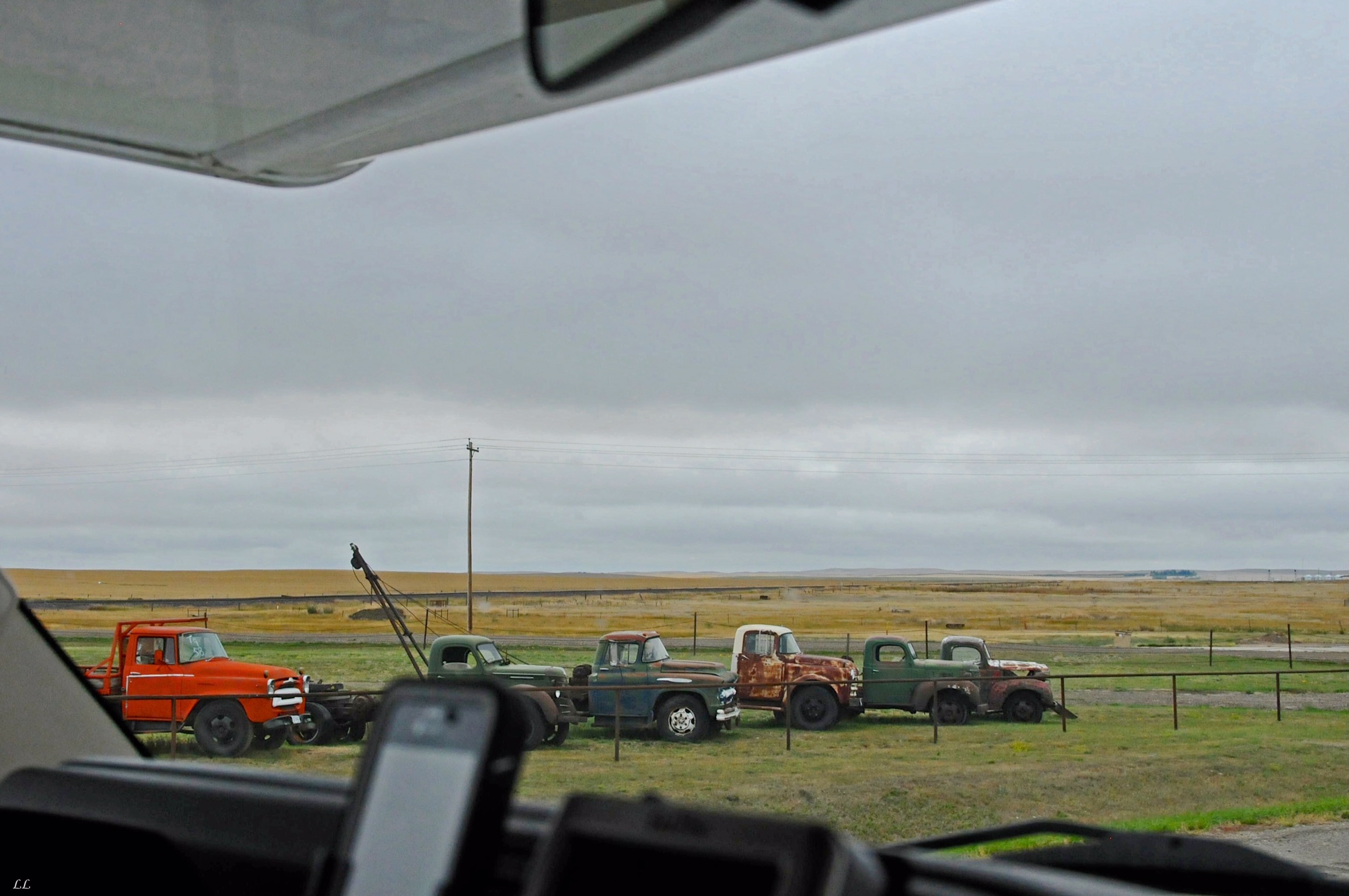
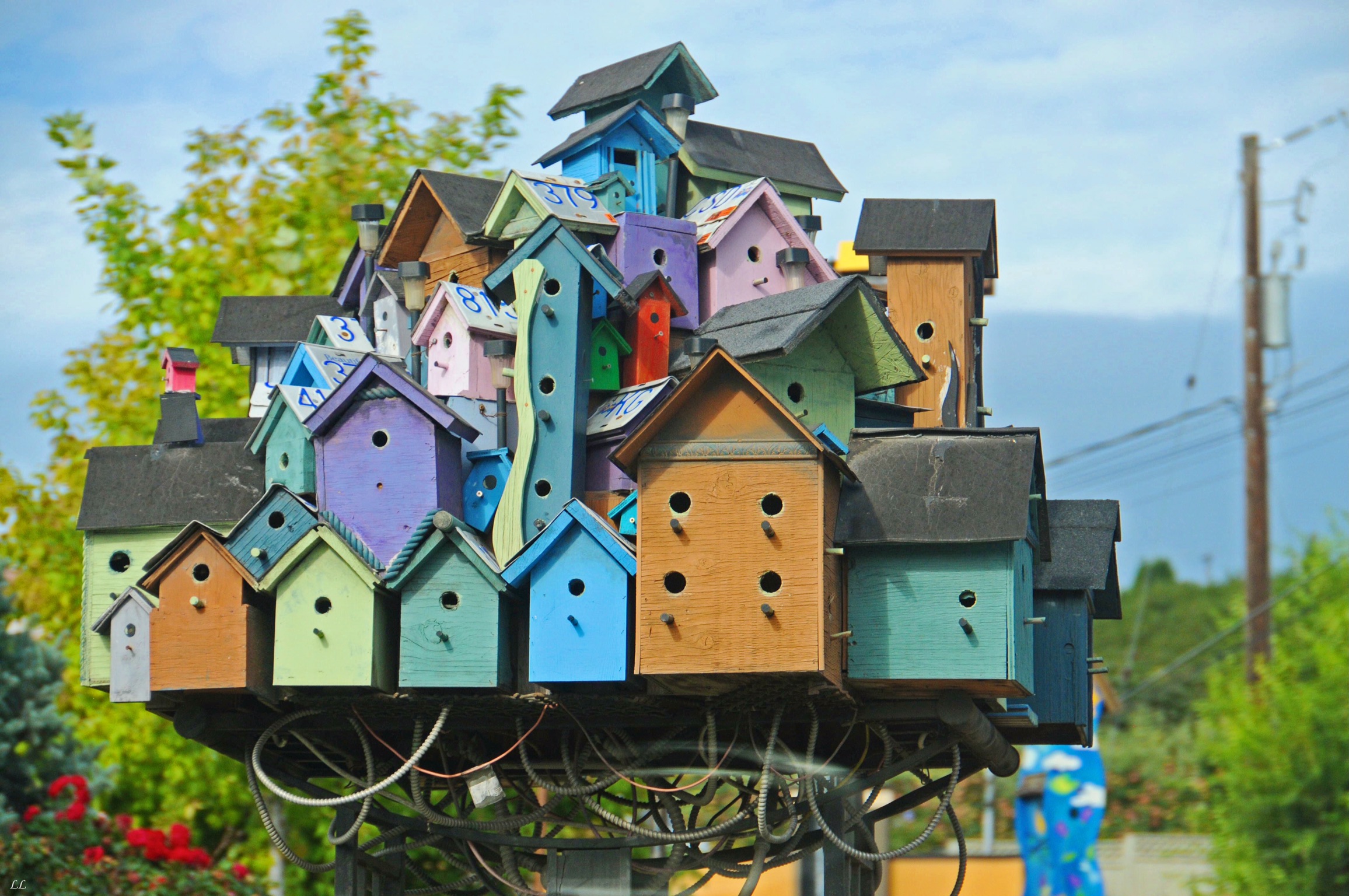
Interesting collection.
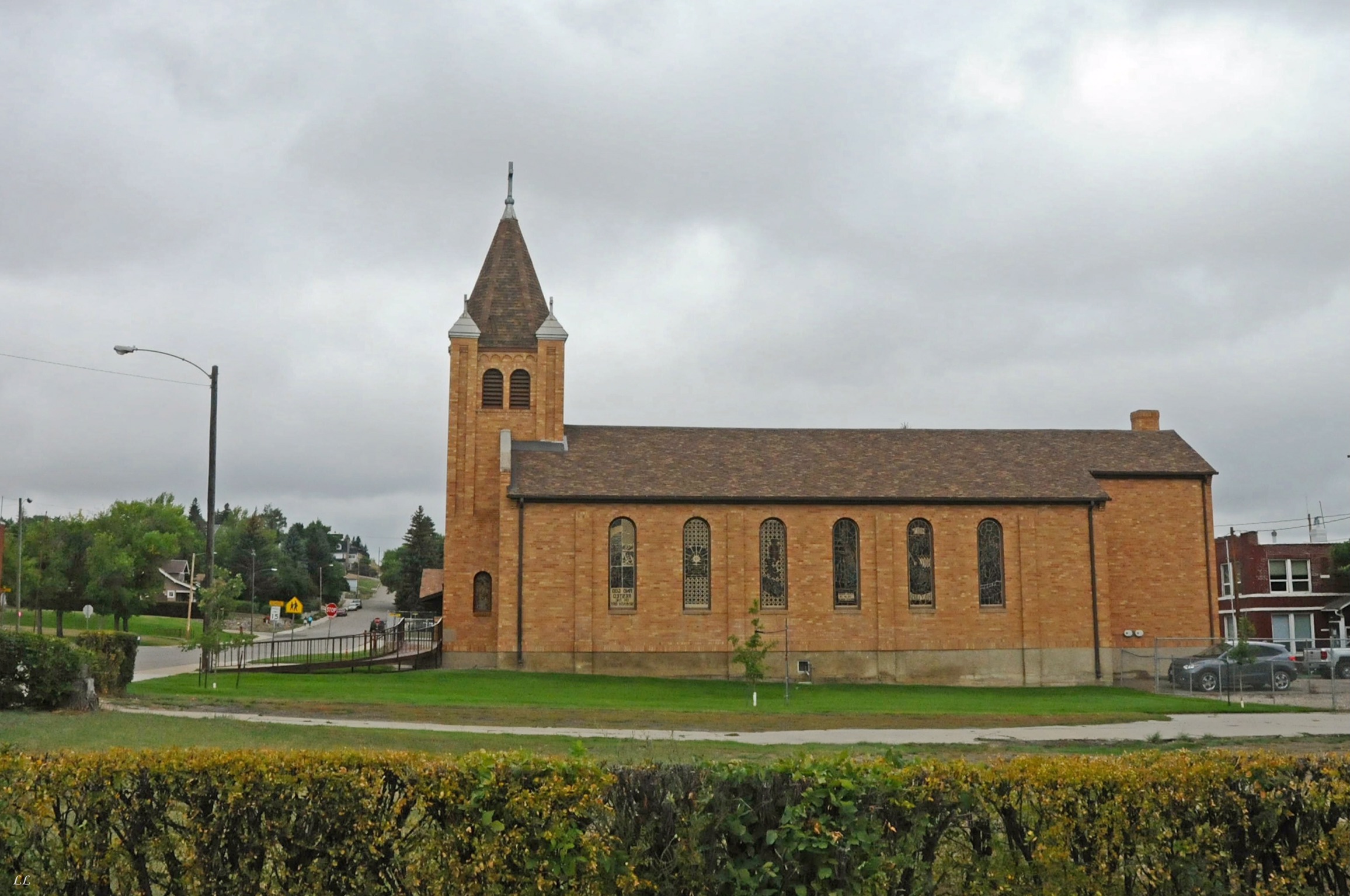
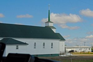
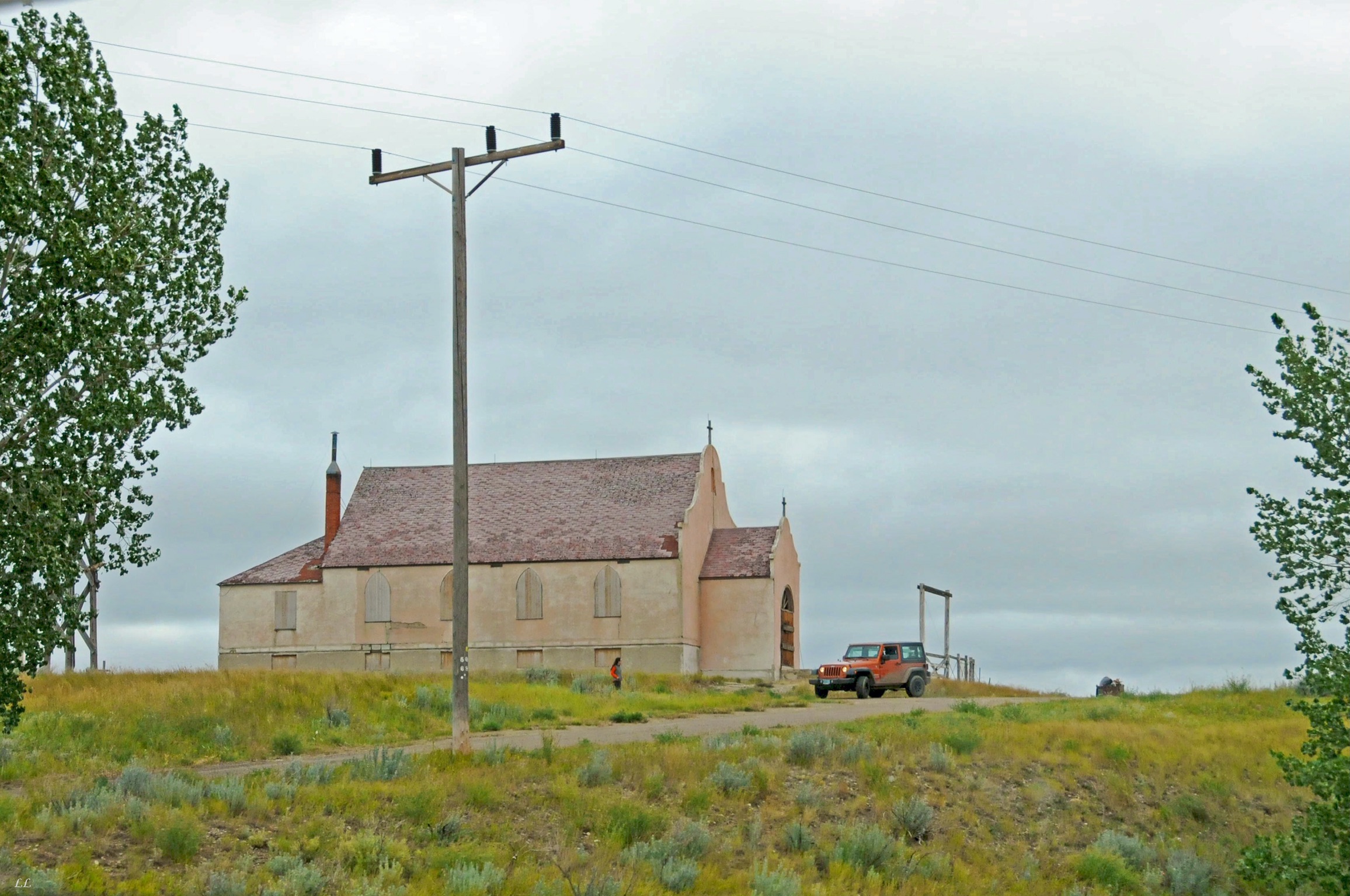
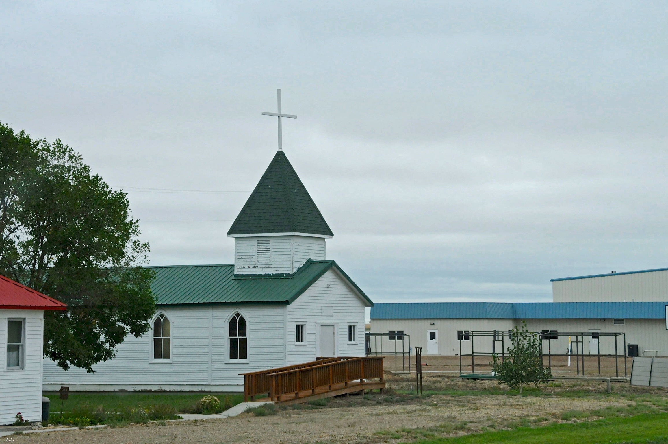
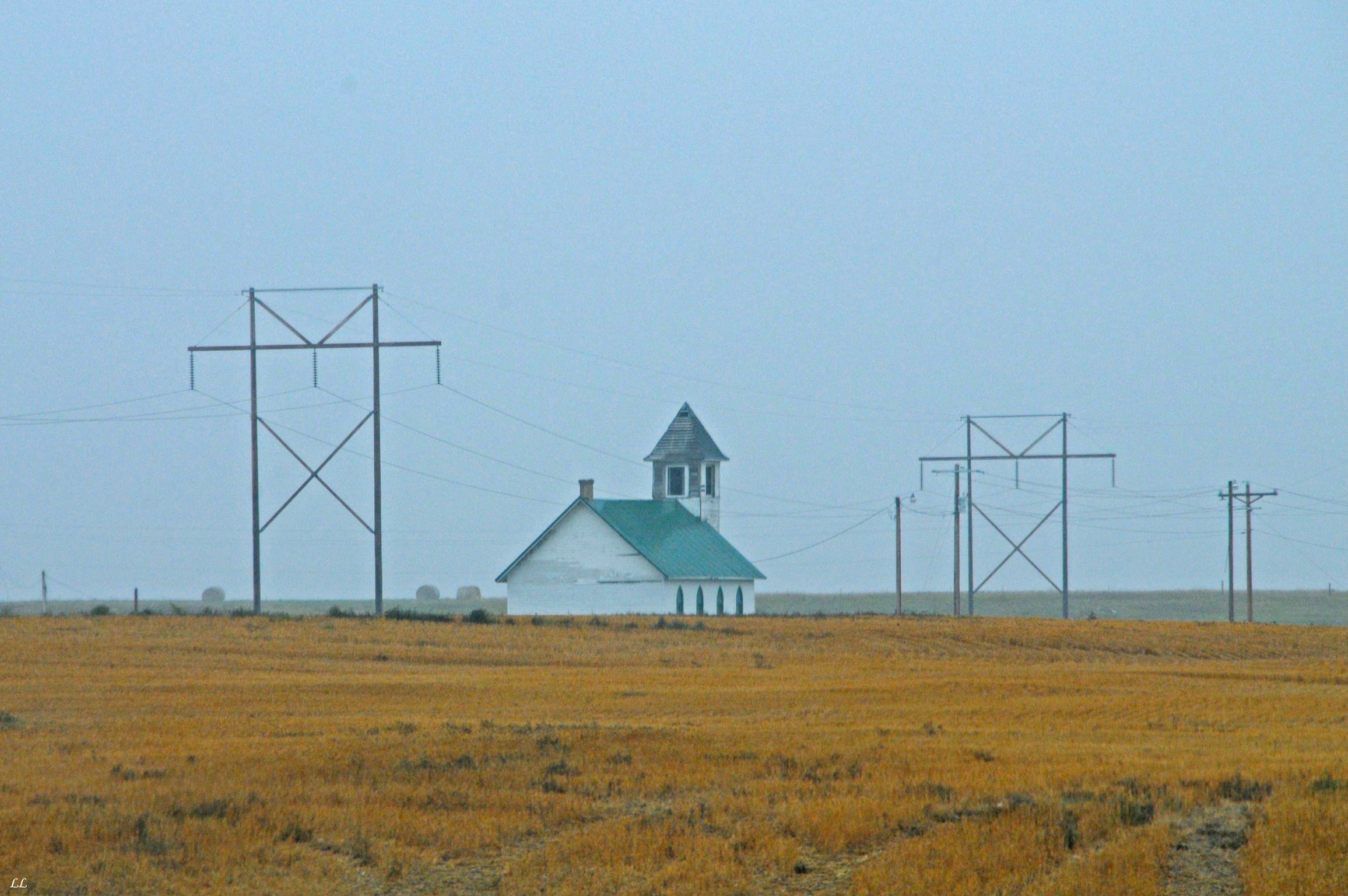
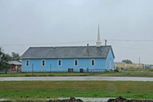
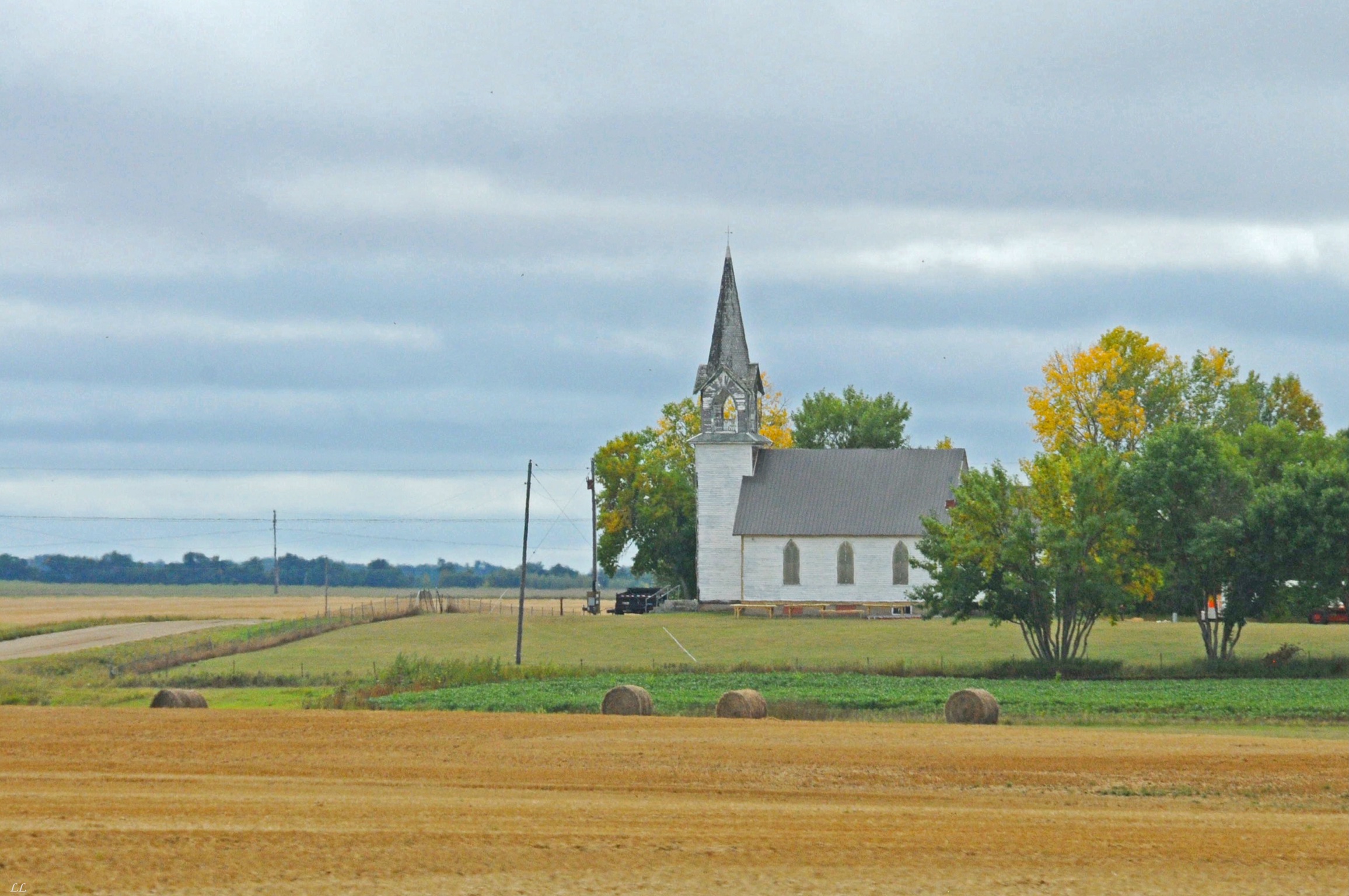
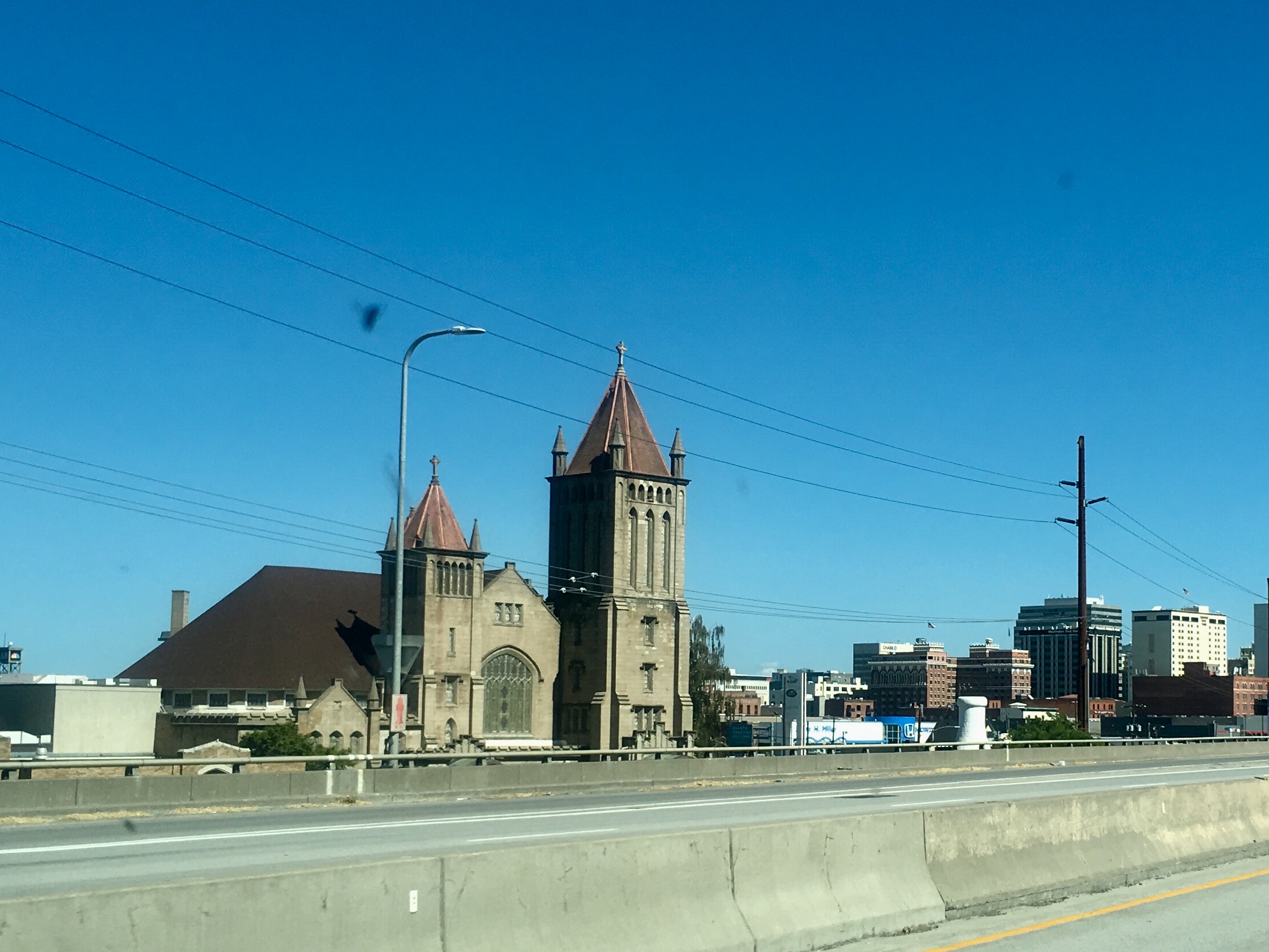
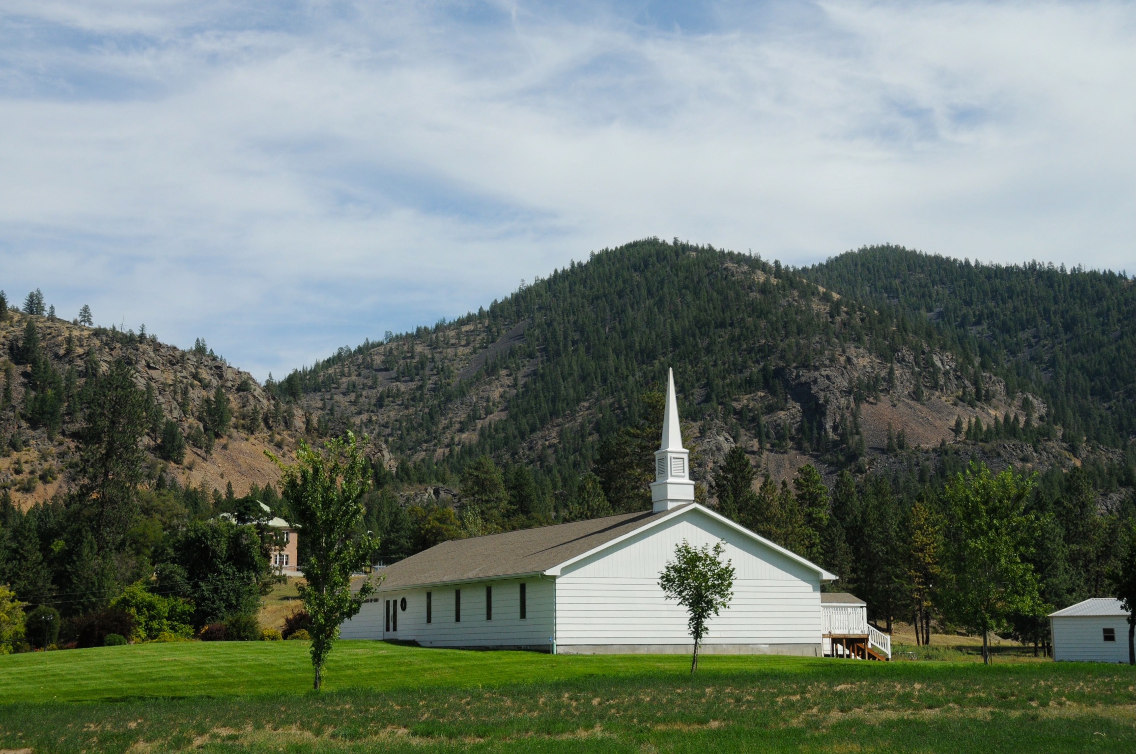
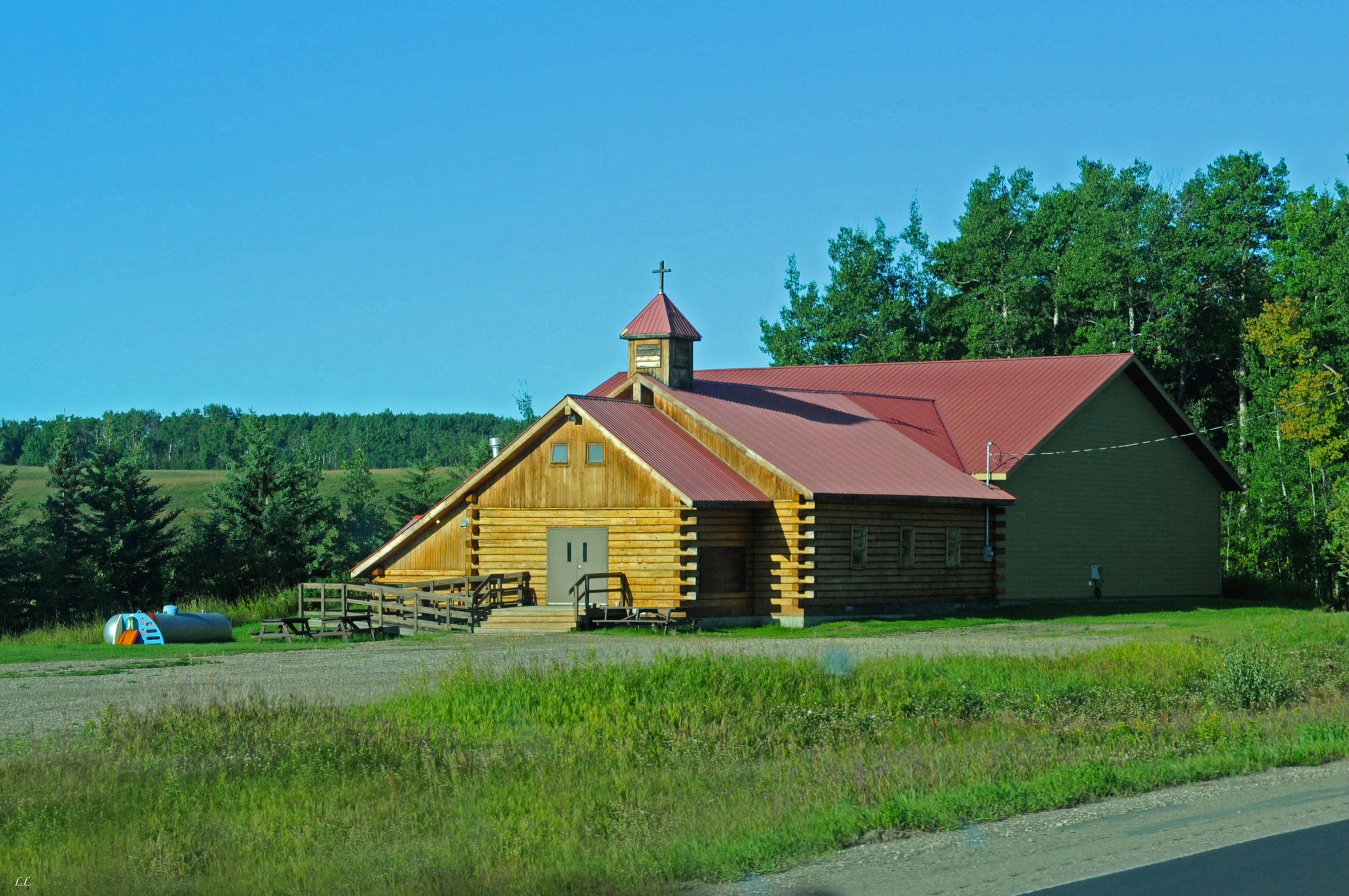
Beautiful church buildings all across the country in each small town.
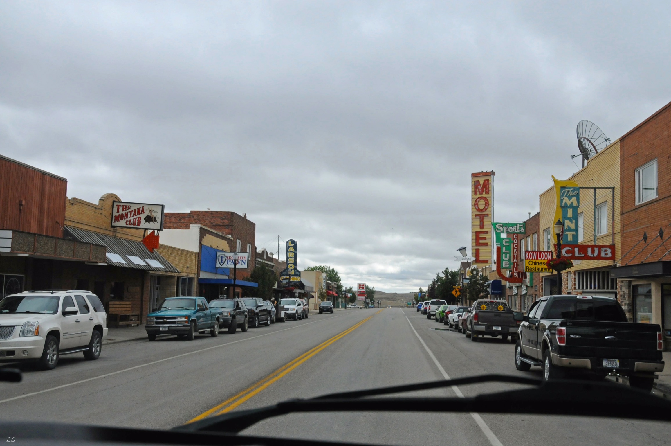
Another small town main street. Looks sorta the same as many others, but still unique.

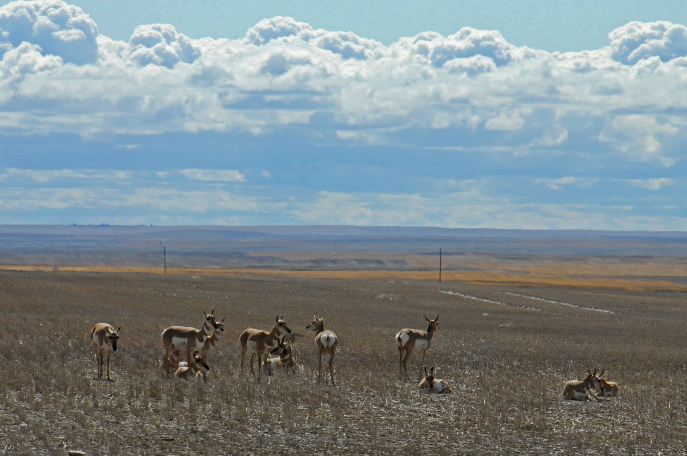
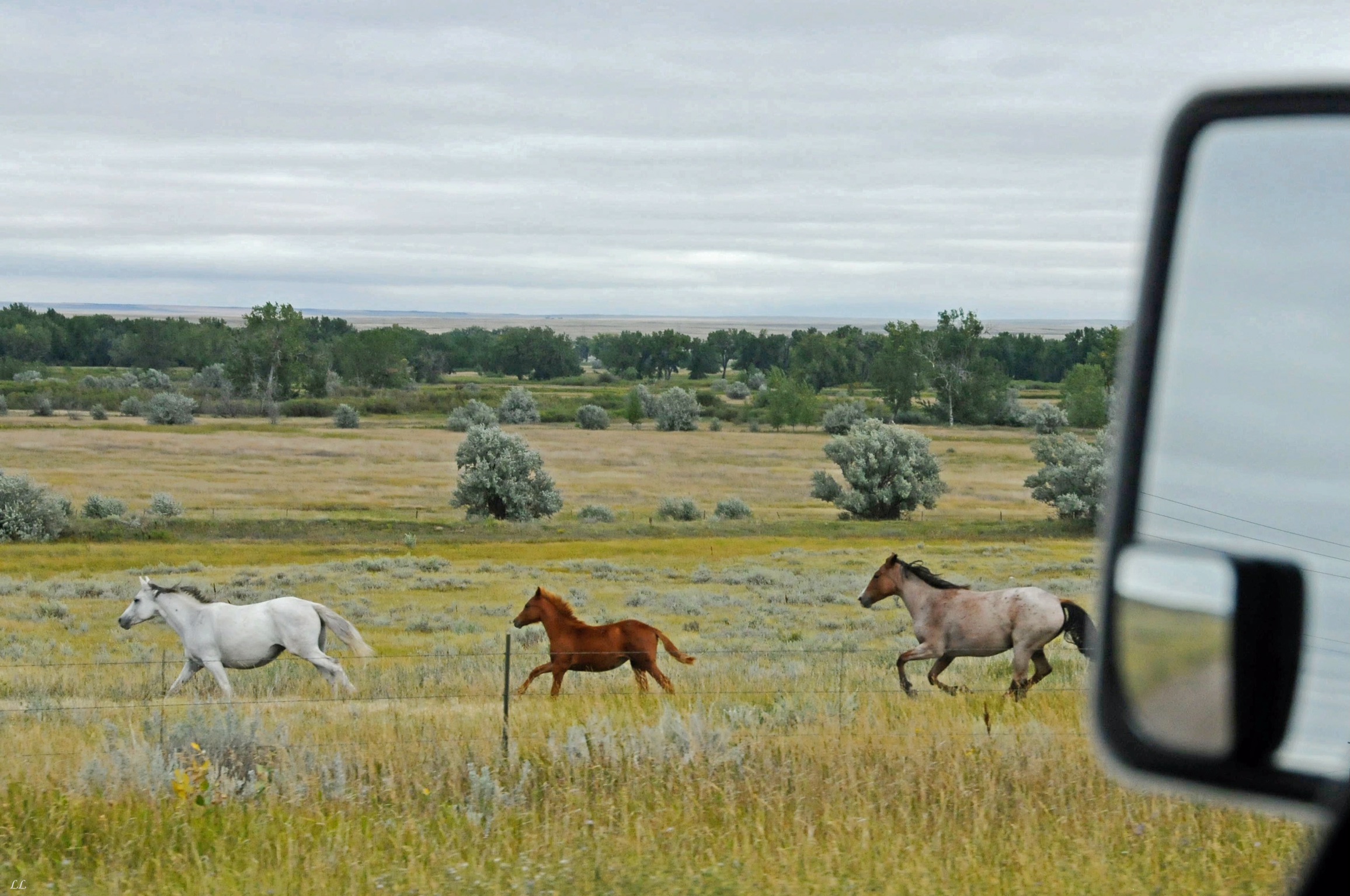
Herd of antelope.
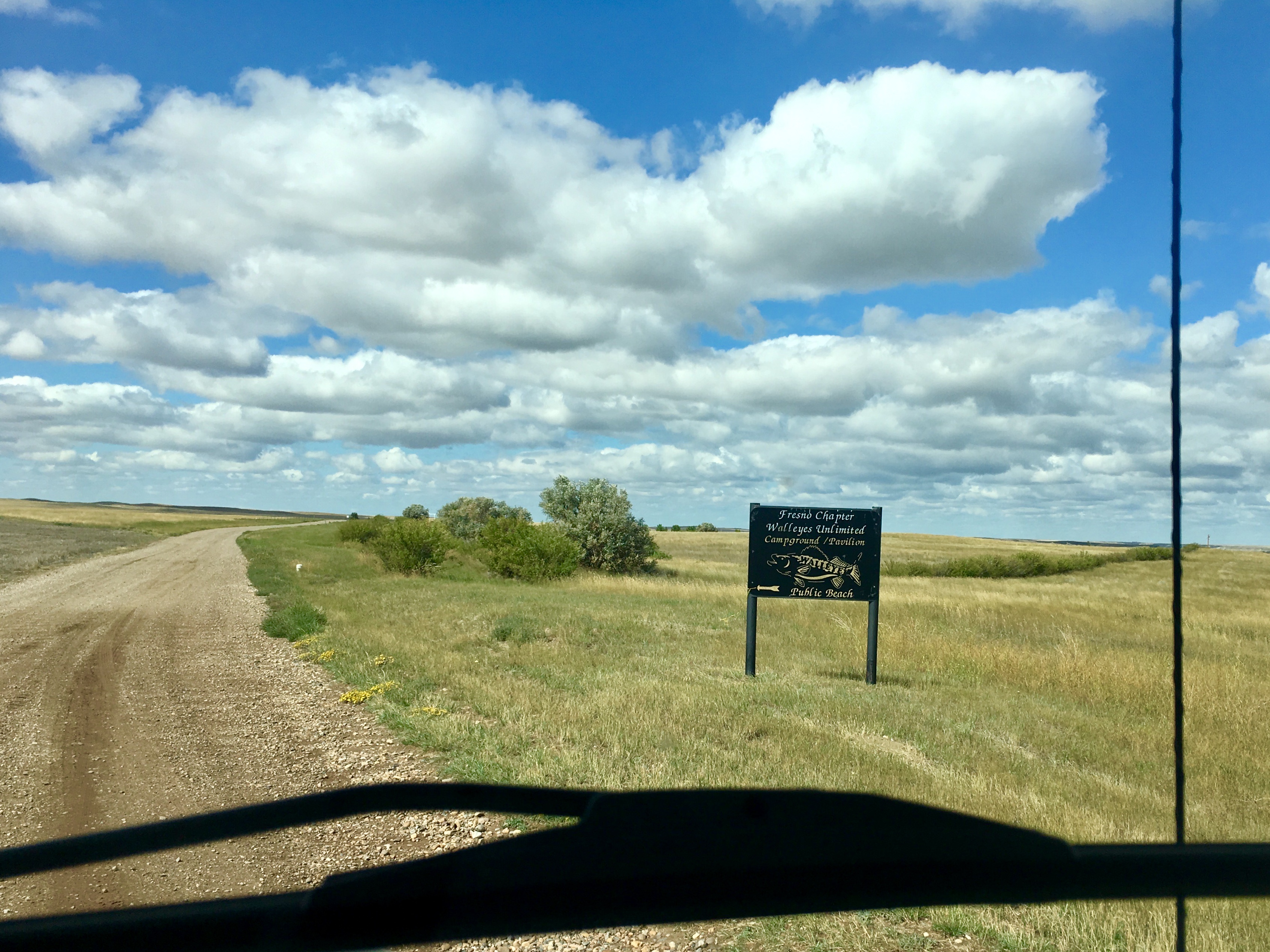
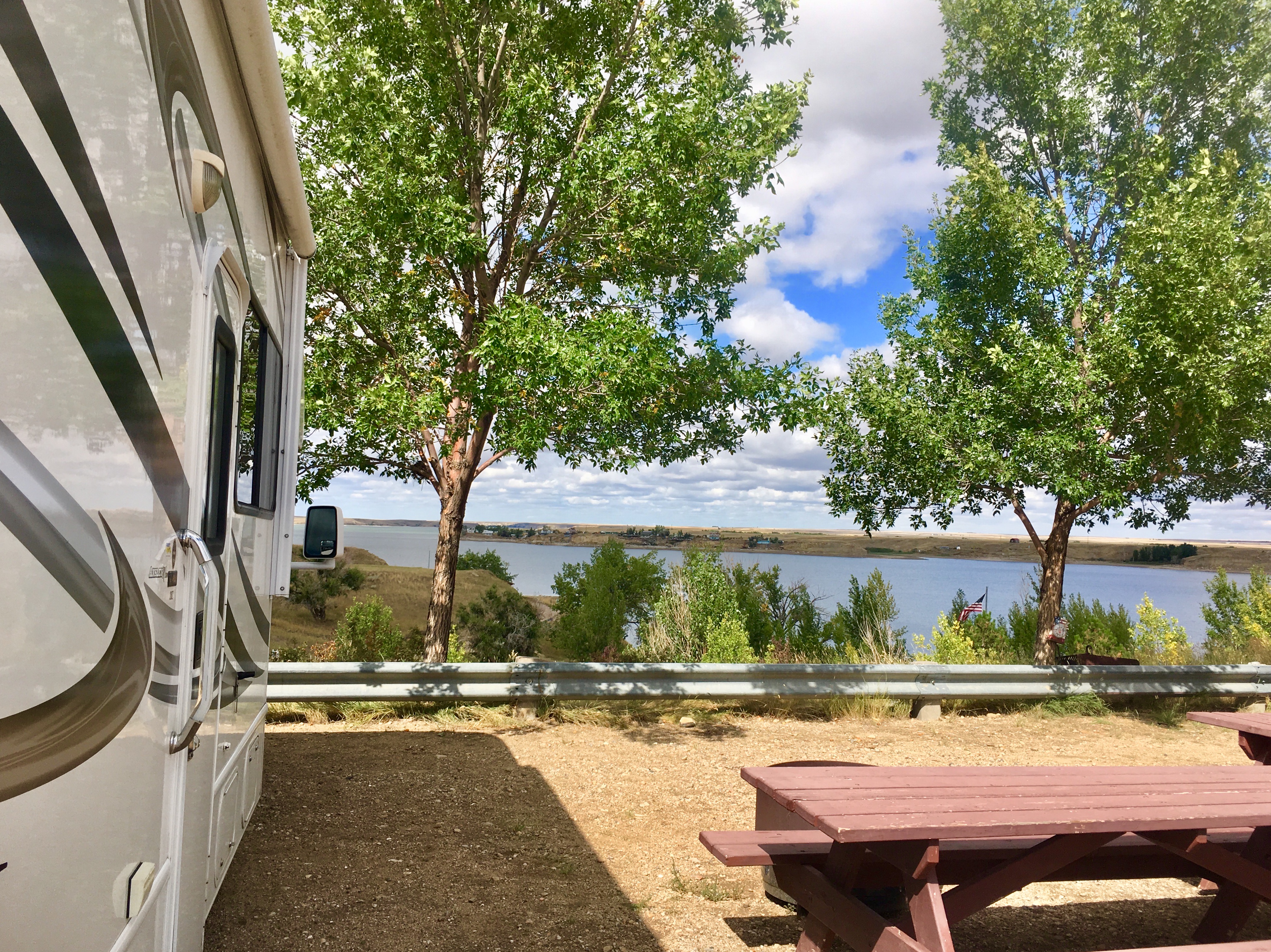
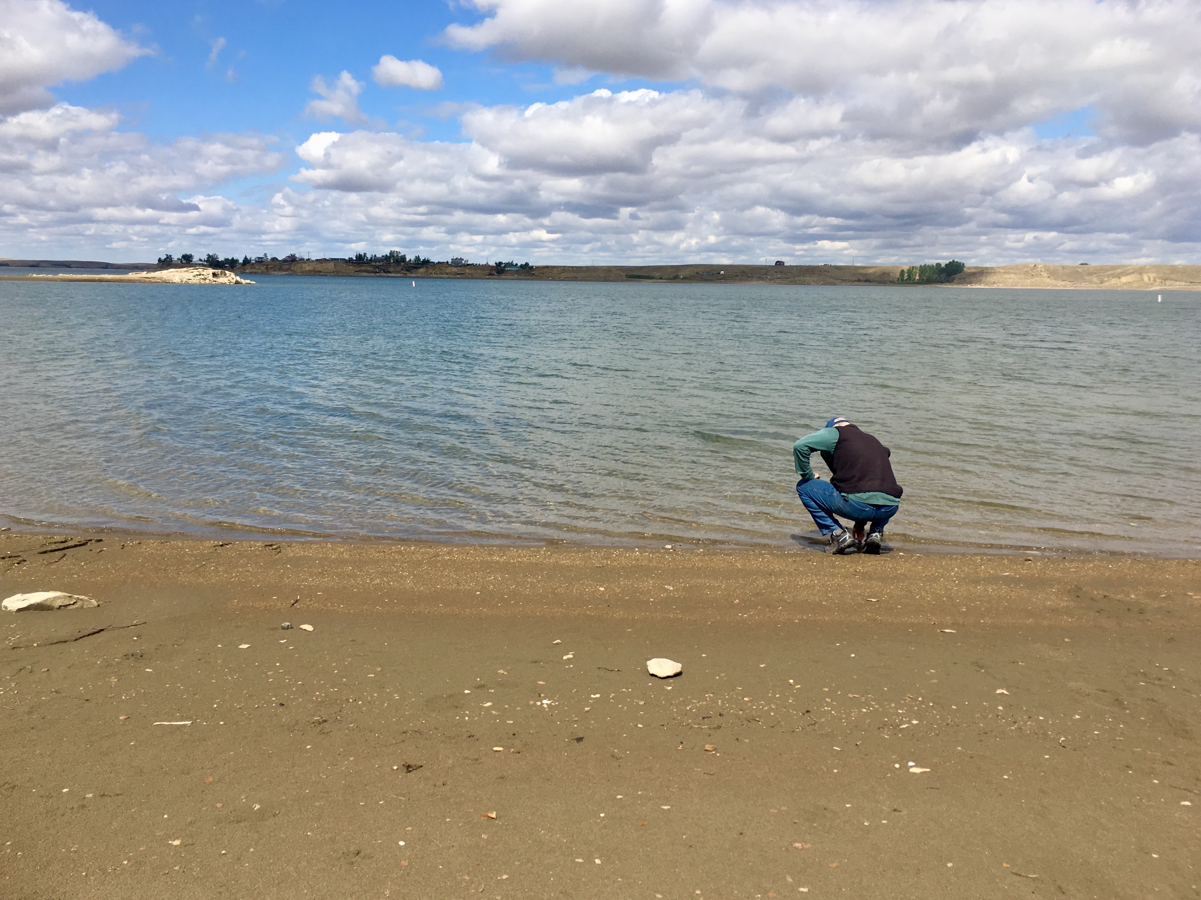
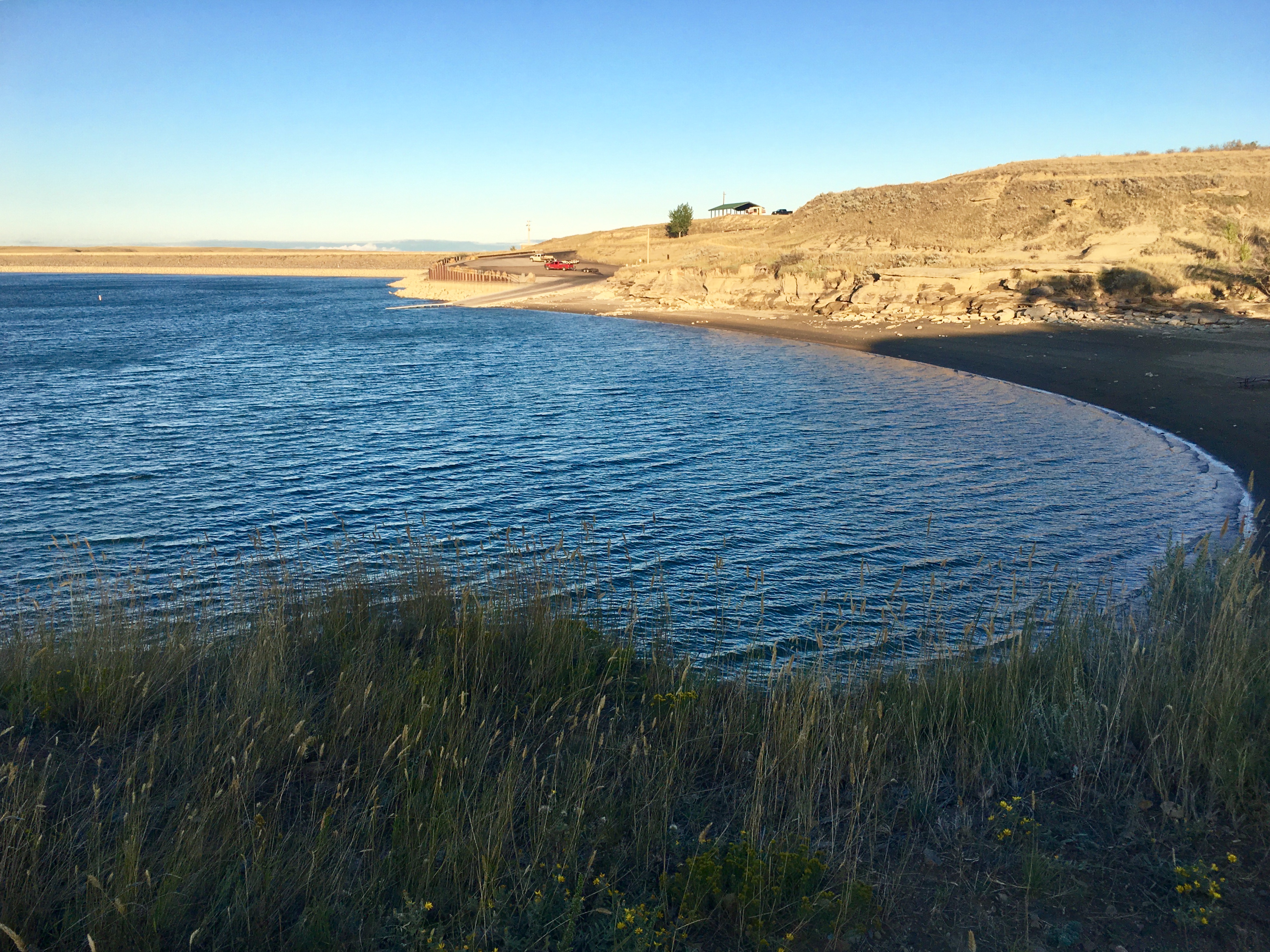
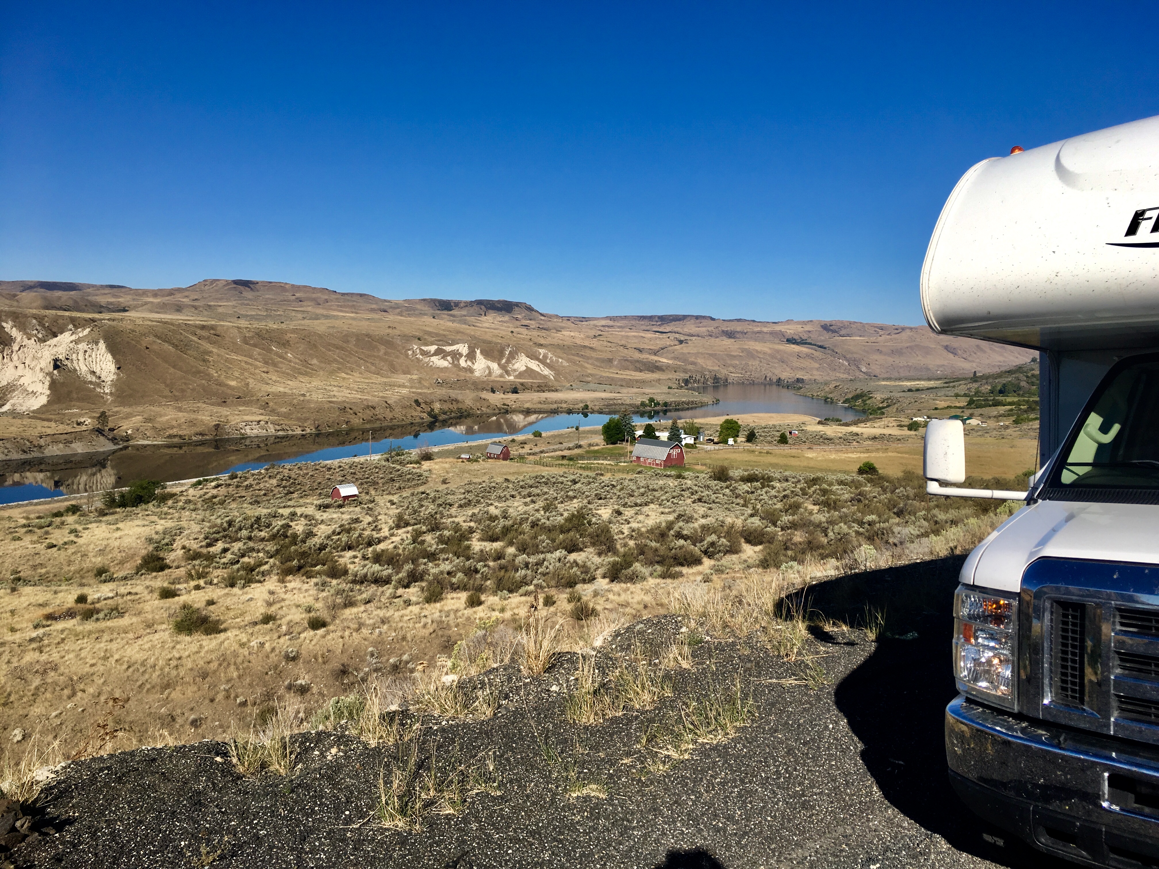
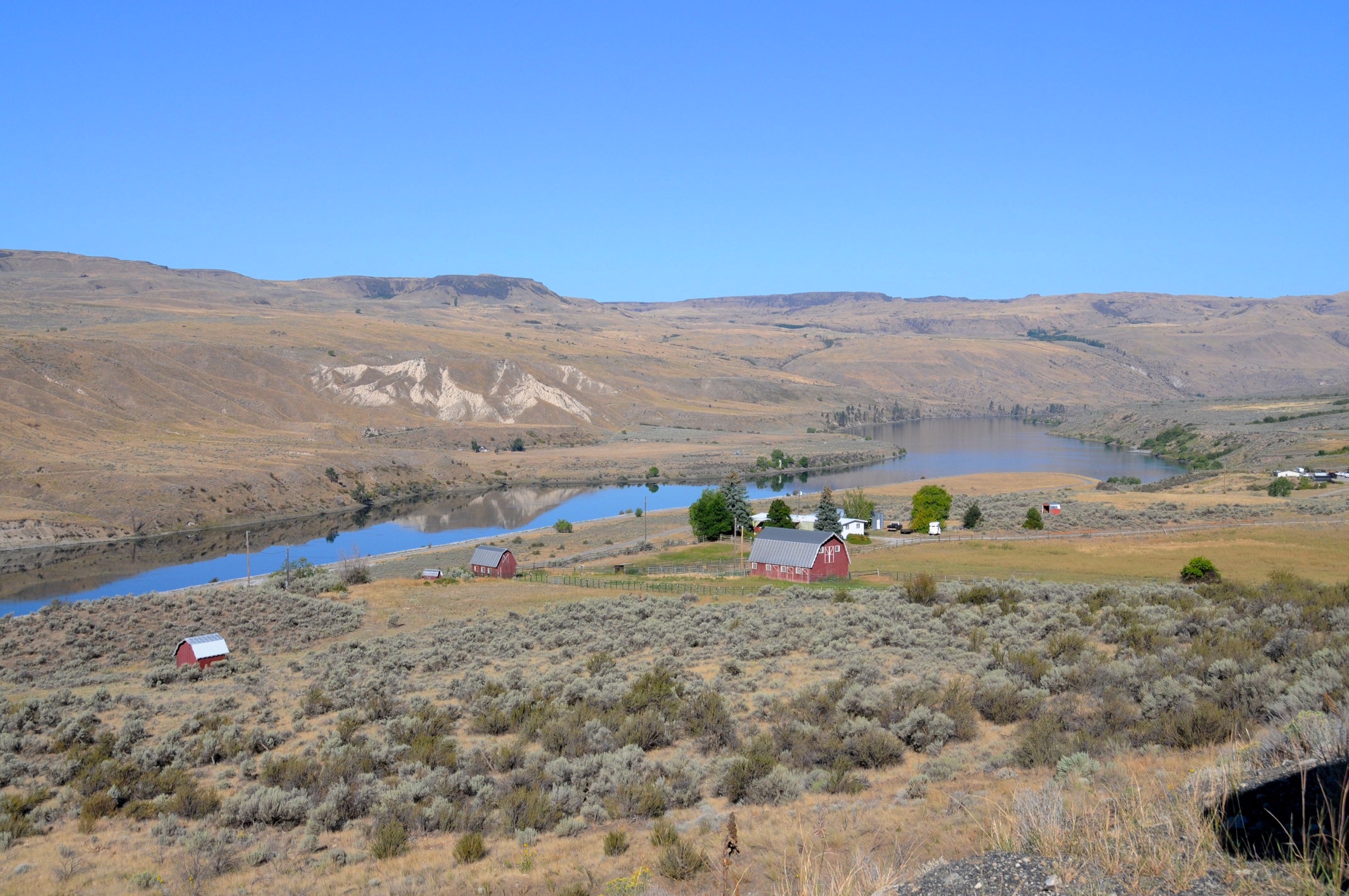
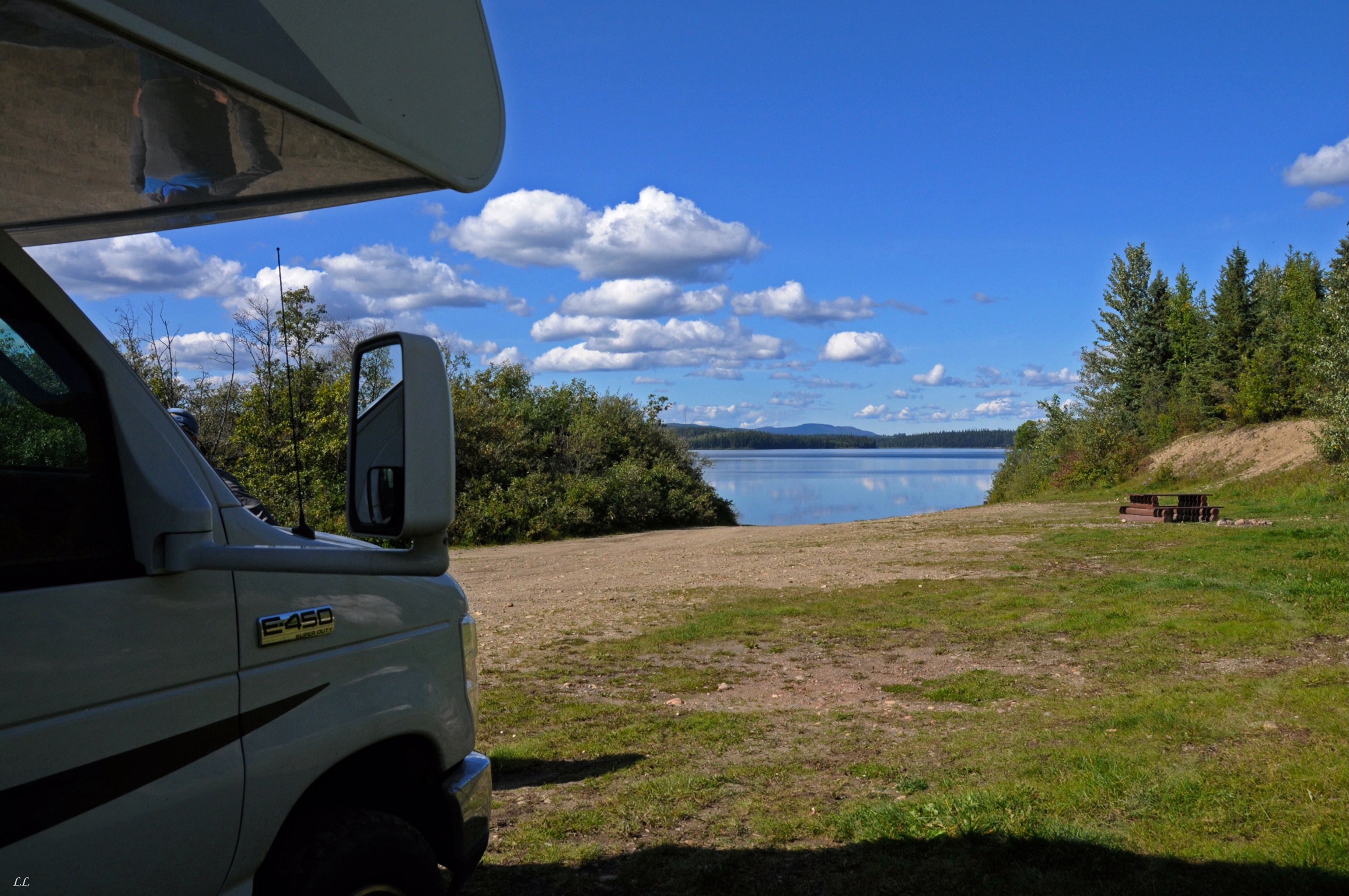
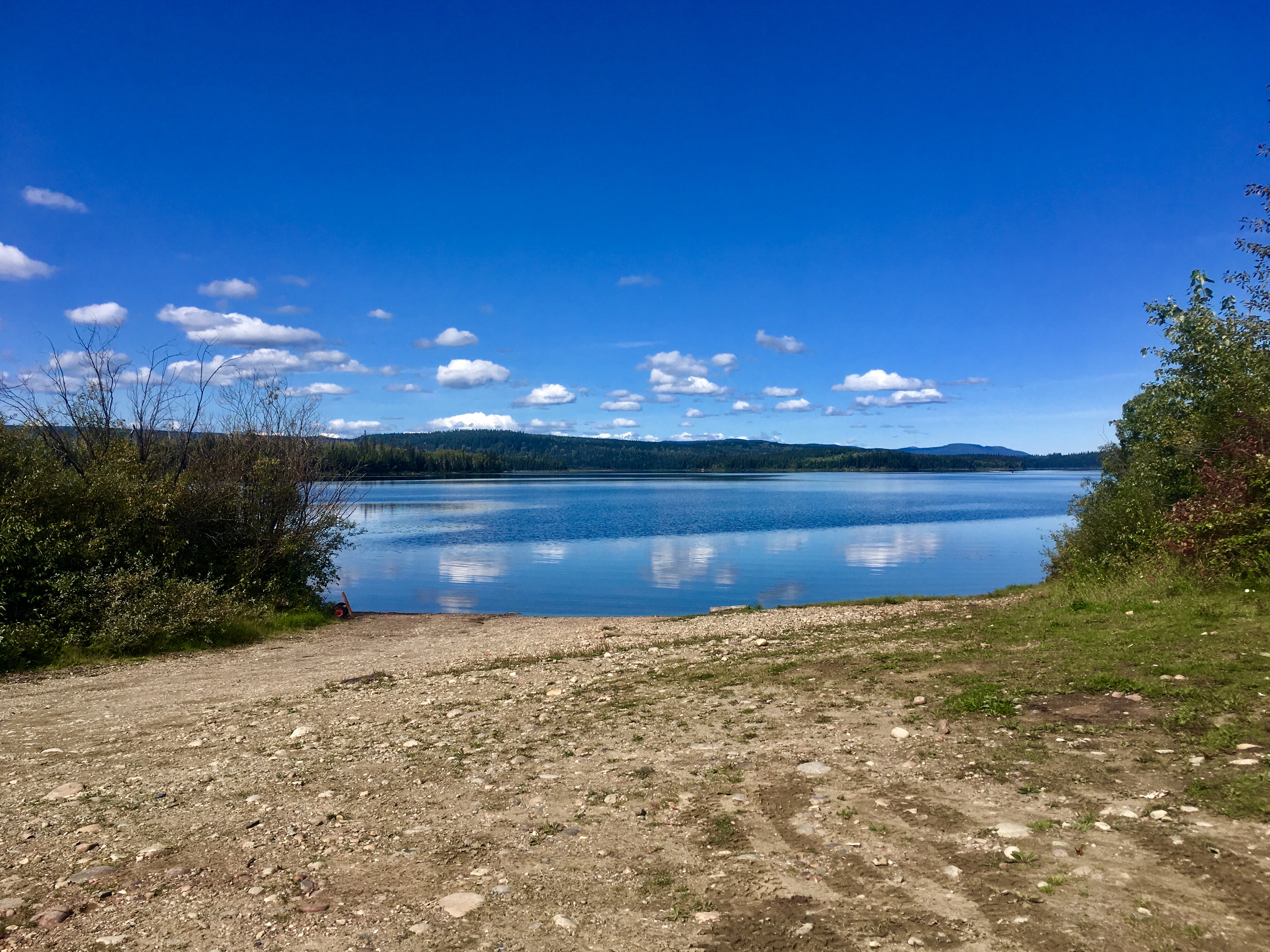
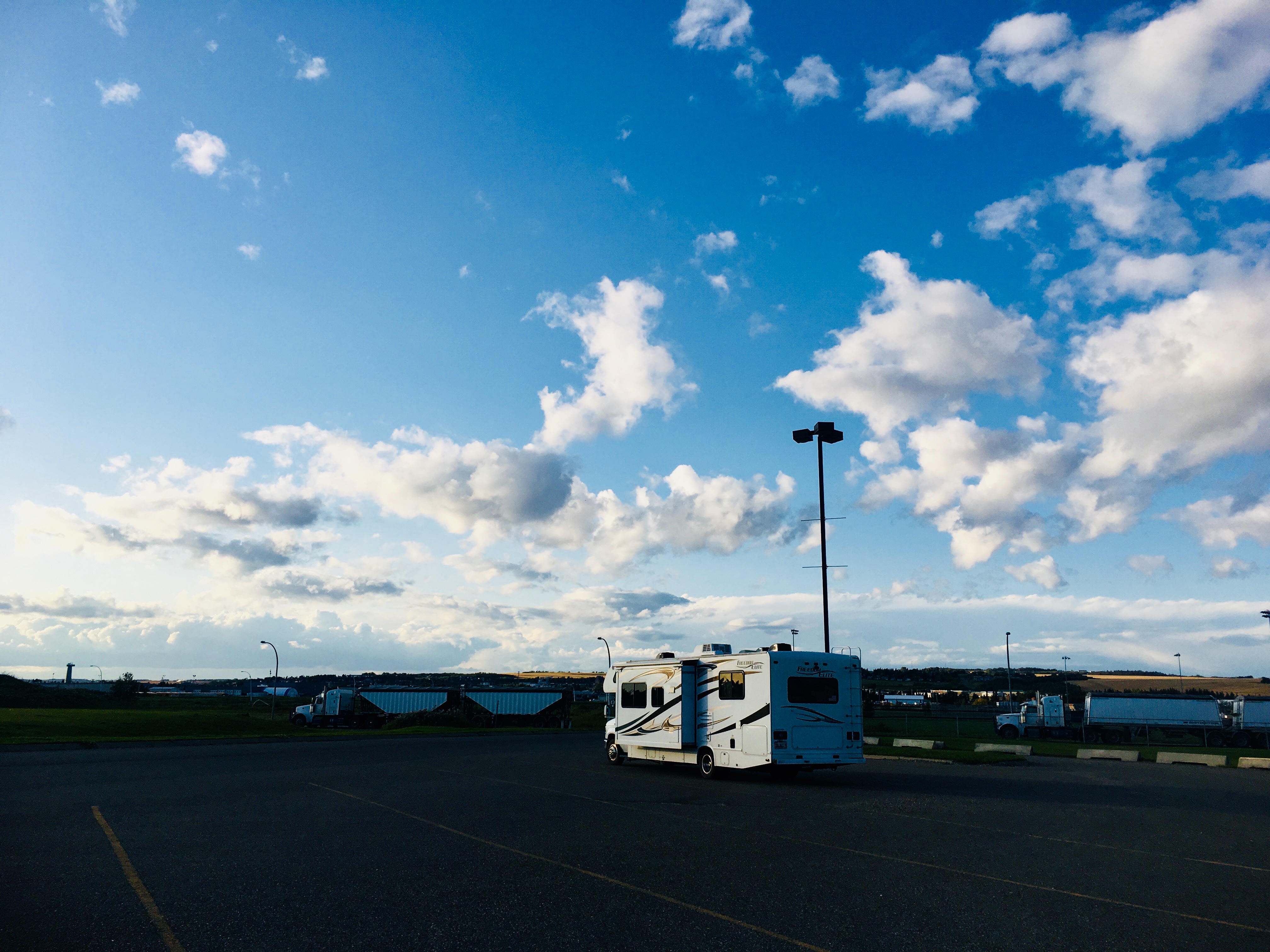
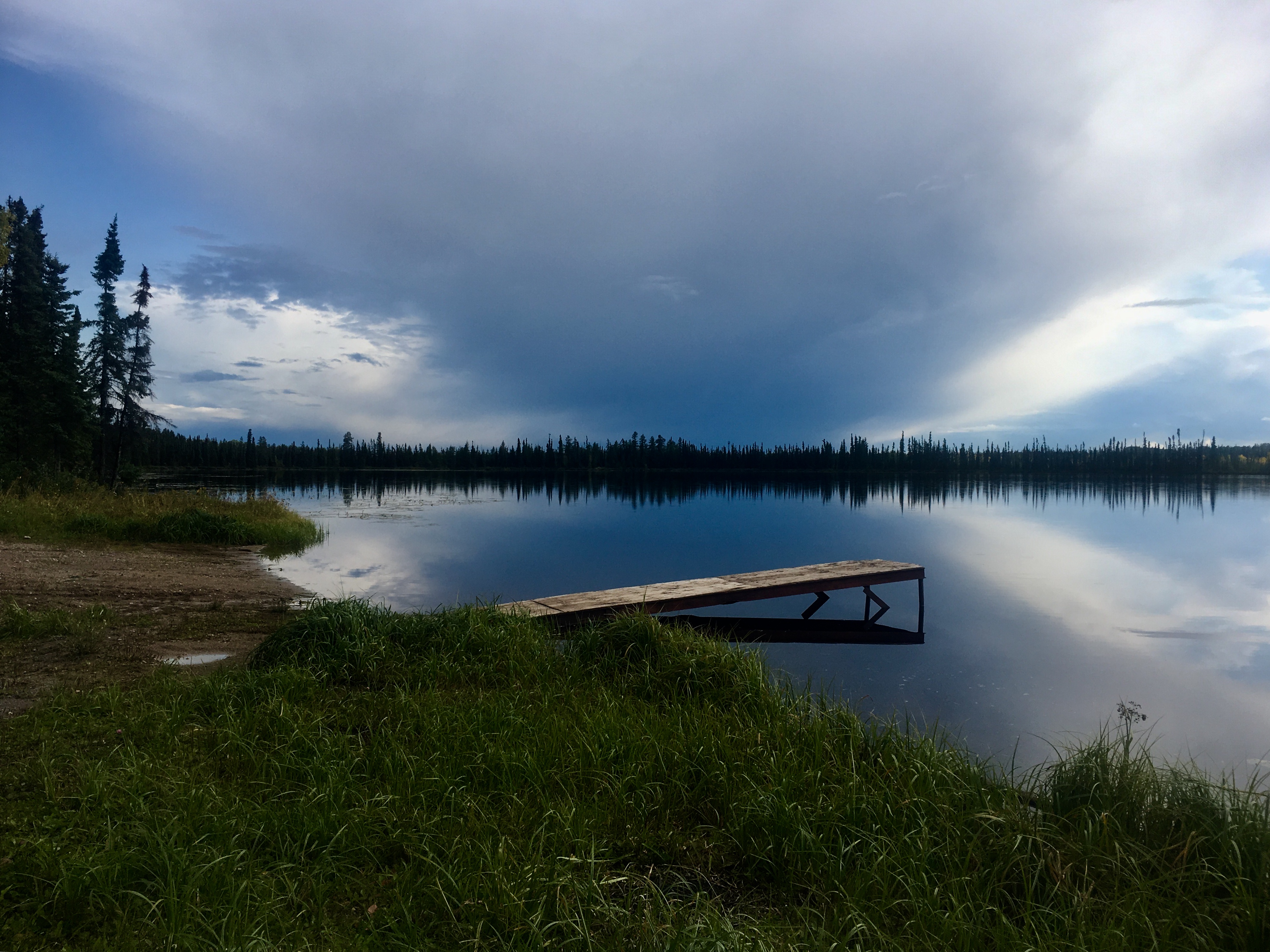
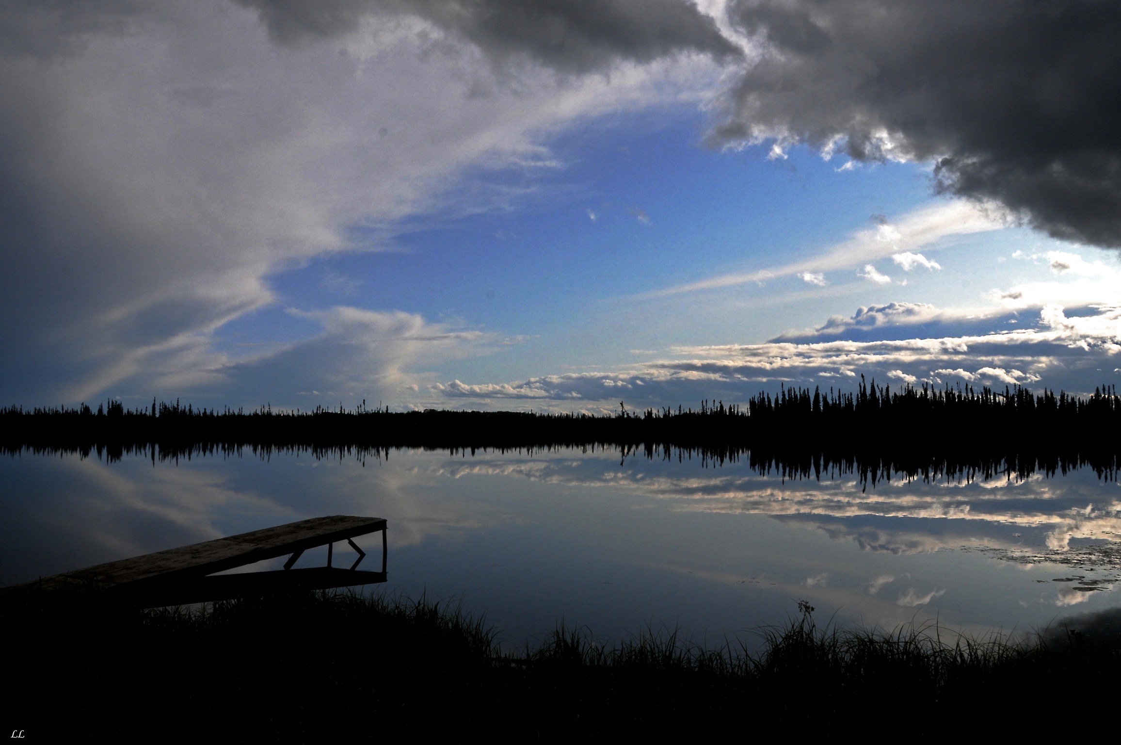
A beautiful, free campsite along the side of a reservoir out in the middle of nowhere. All on private property opened up for others to use and enjoy!

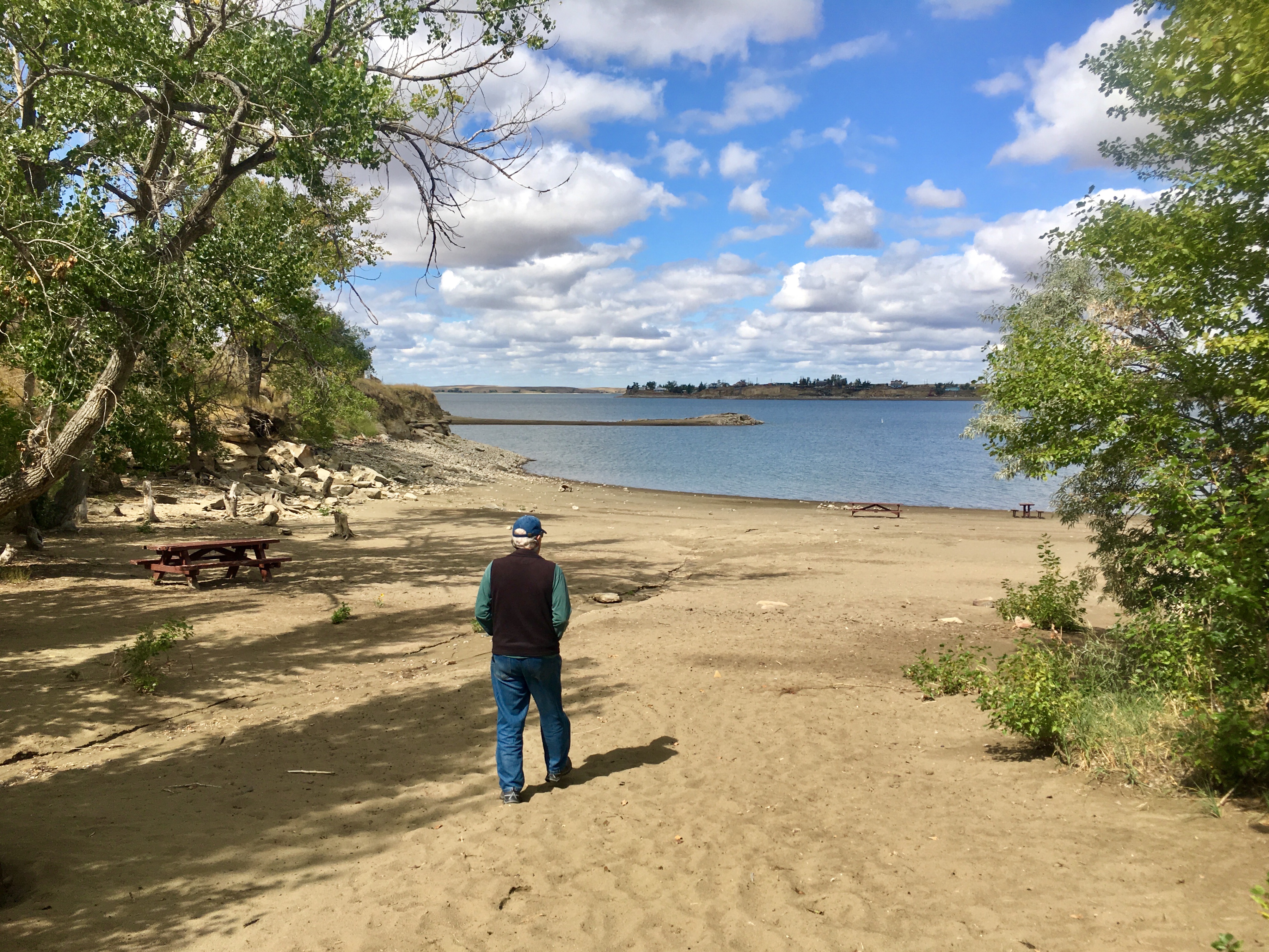
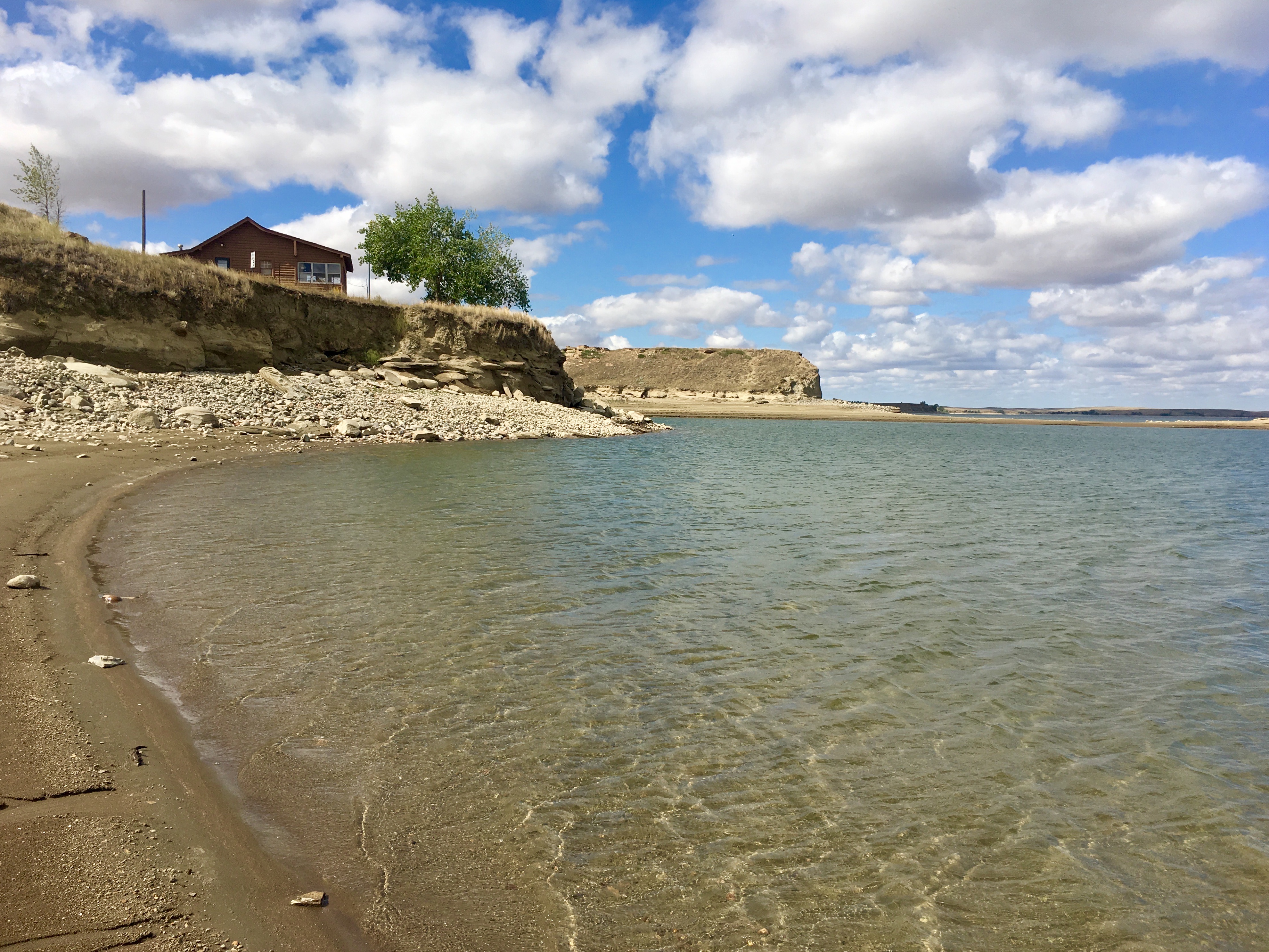
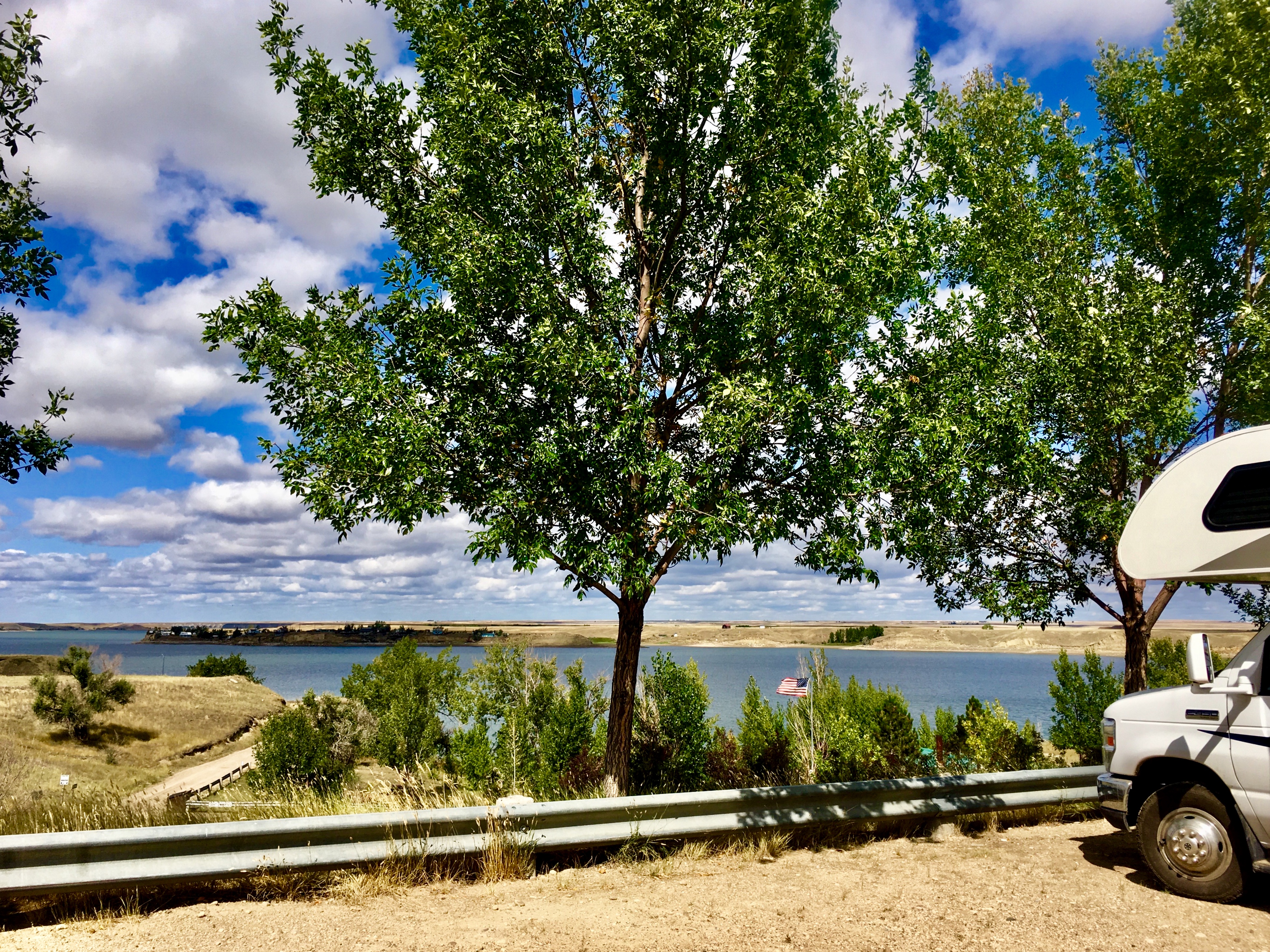
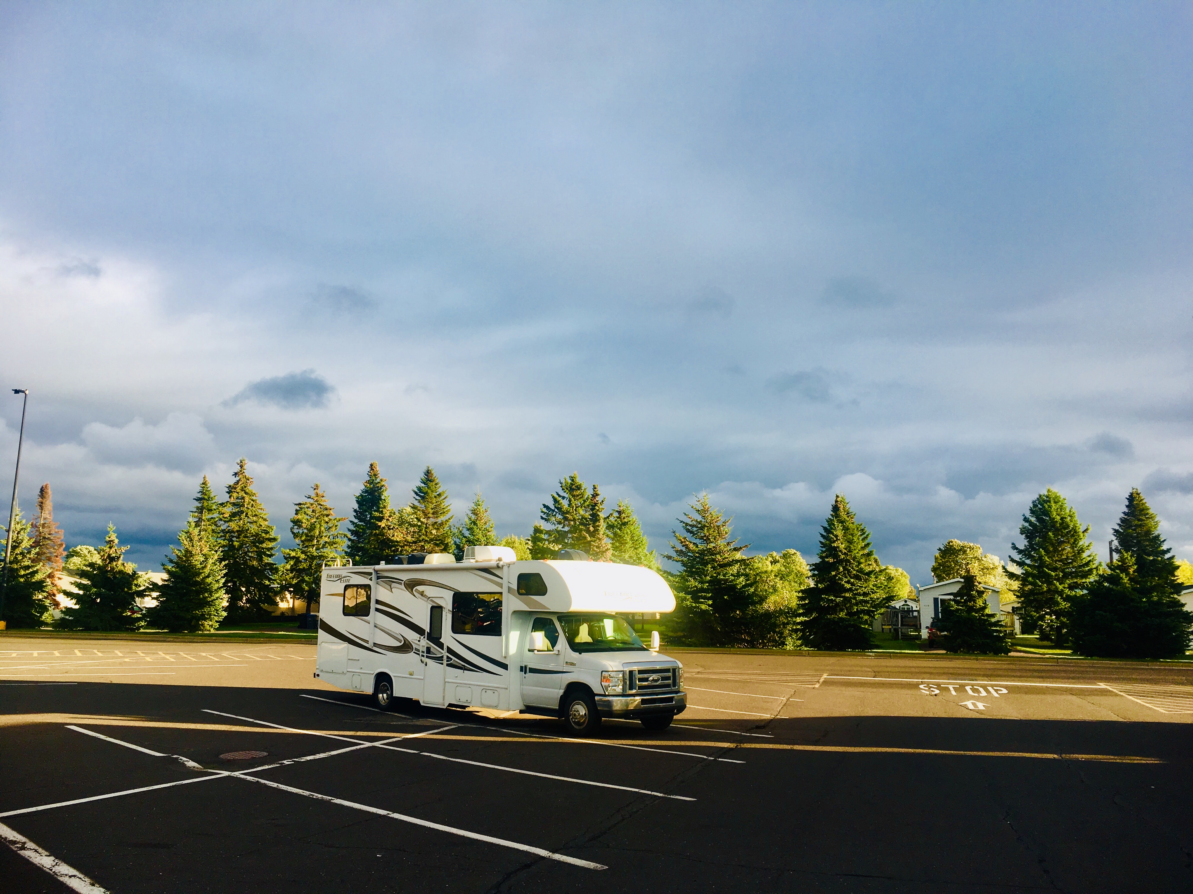
Not a bad view for the night!
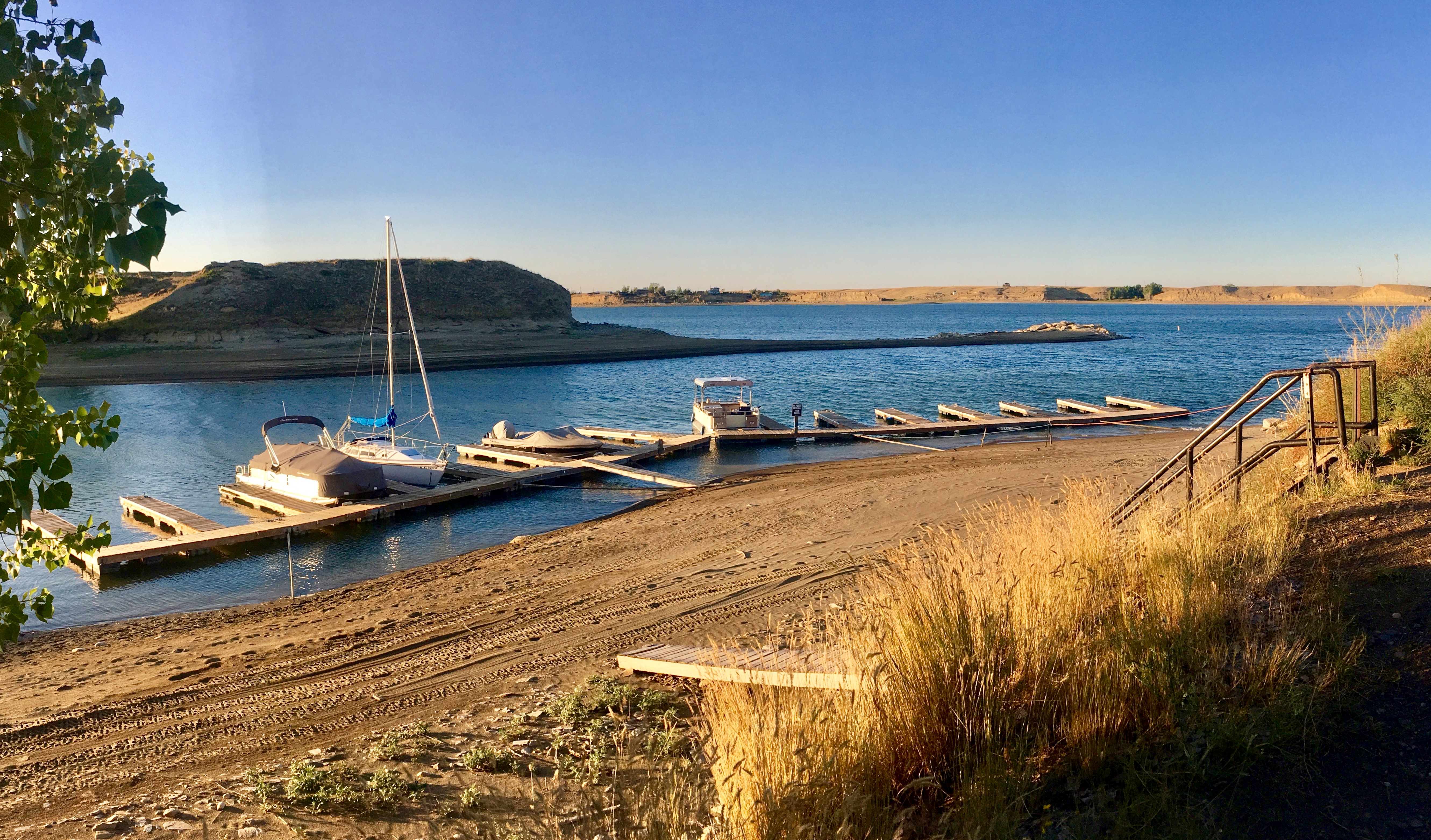
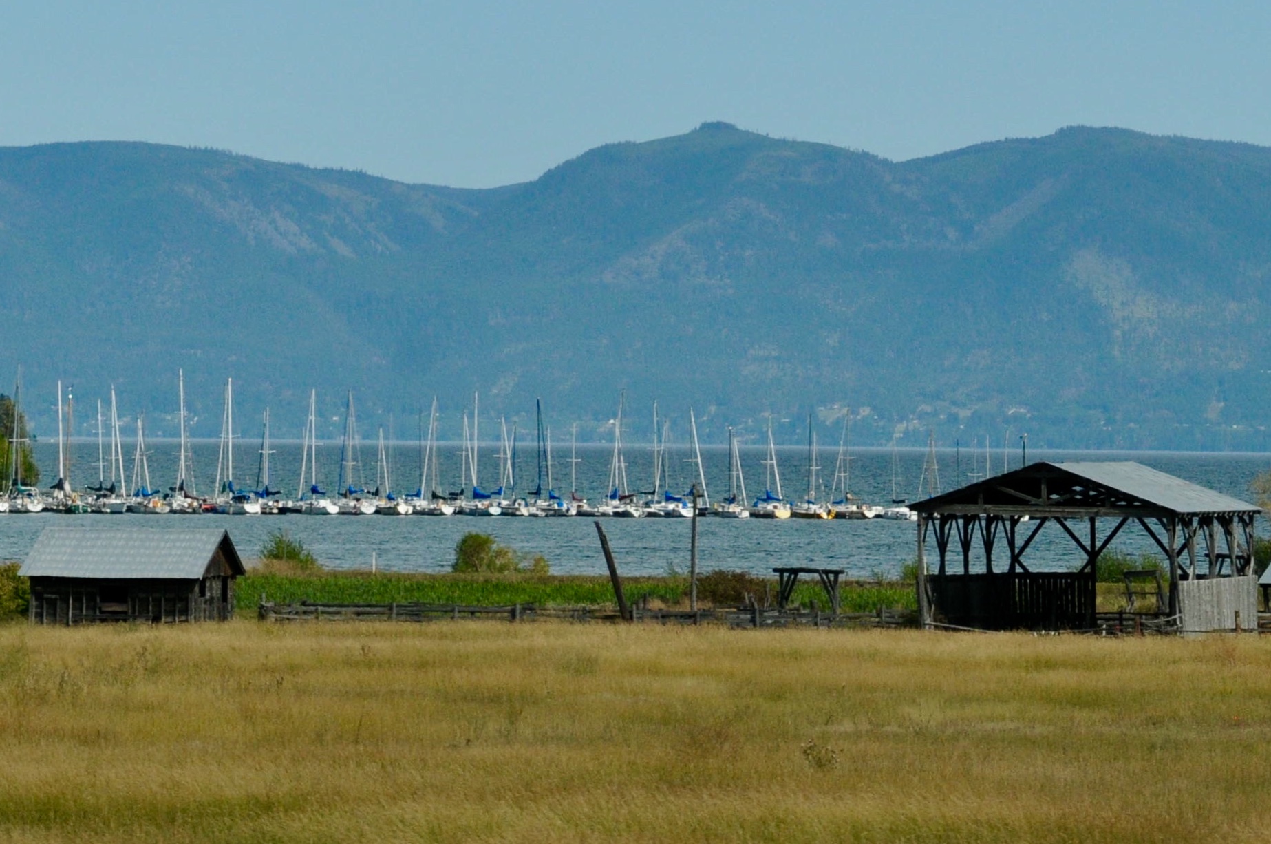
We even found a little marina with one small sailboat.
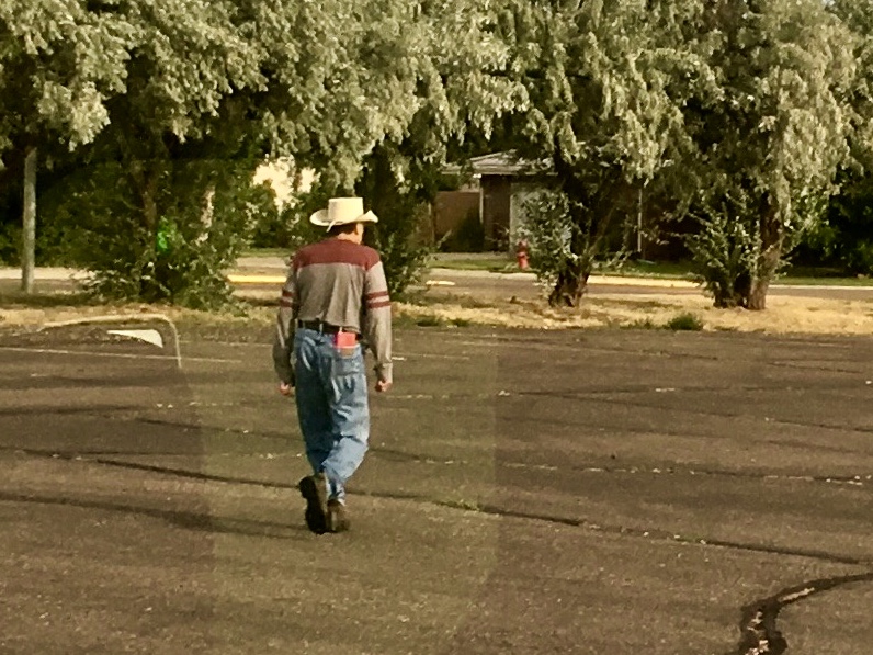
The look is not just in magazines and on TV, it’s normal attire out in these parts.
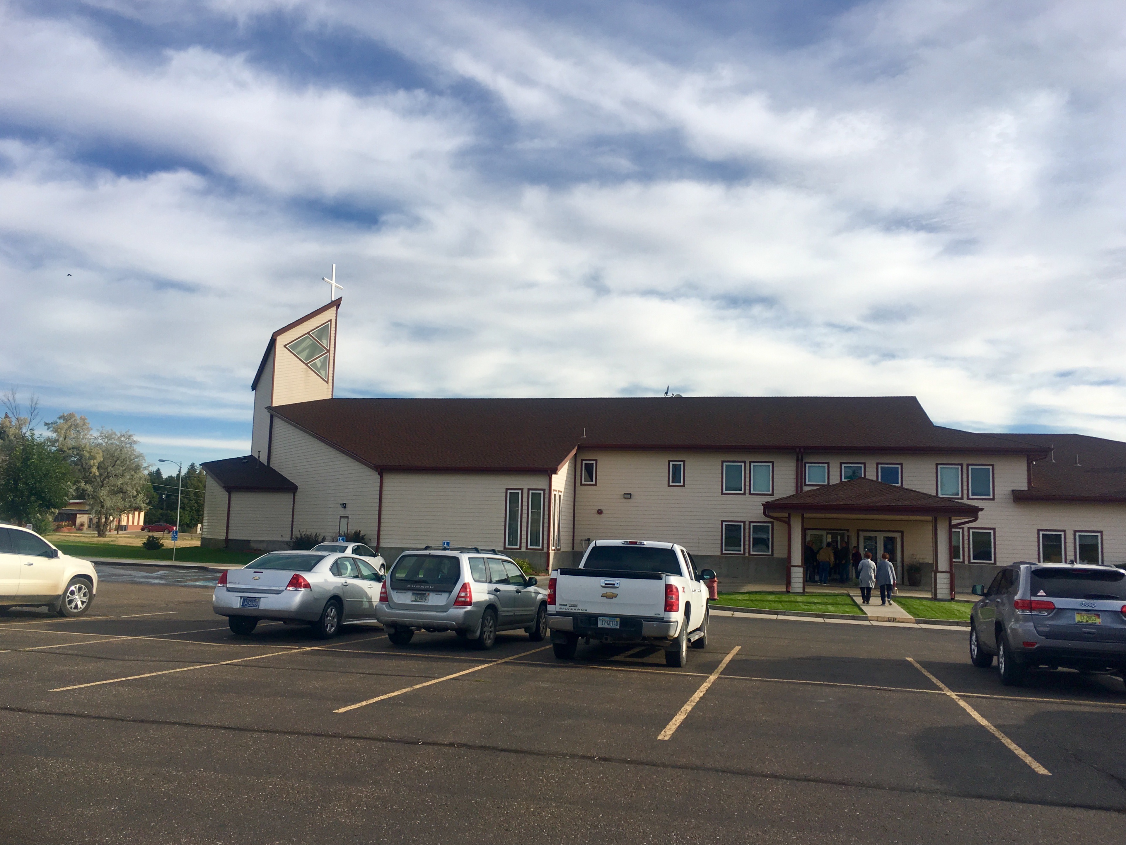
One of our joys along our journey is to seek out churches in the small towns we drive through and join with a new congregation for a worship service. It’s great to see how the love of Christ goes before us and is the same everywhere. People are welcoming, the preaching of the Word is heartfelt and the blessing is always a highlight of each week.

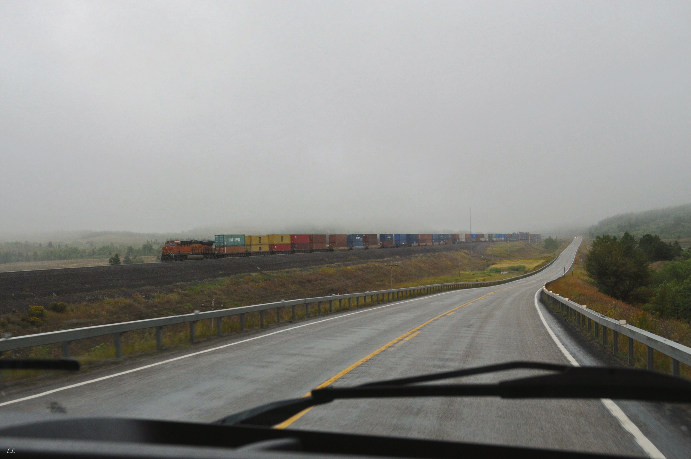
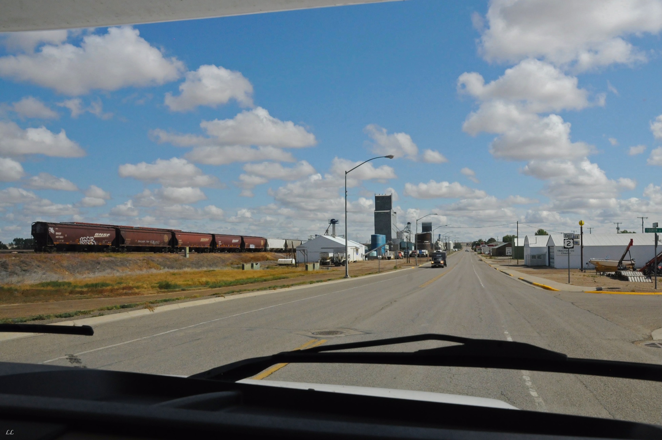
Trains were a pretty constant part of the trip across the country. We rarely were out of sight or sound of a train going by. Must be a good economic sign.
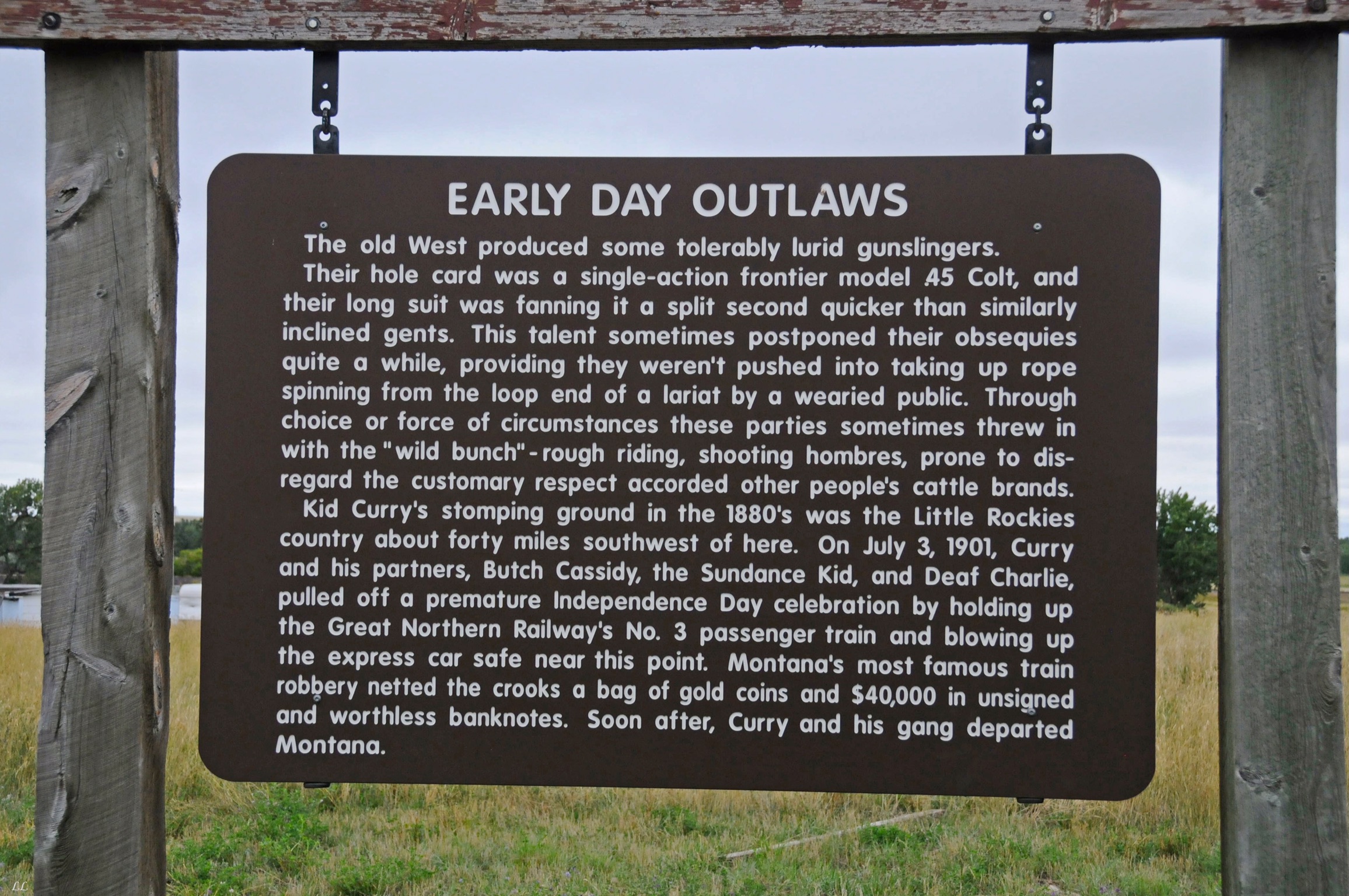
Not sure that “tolerably lurid gunslingers” is good grammar, but it paints a vivid picture of the old west.
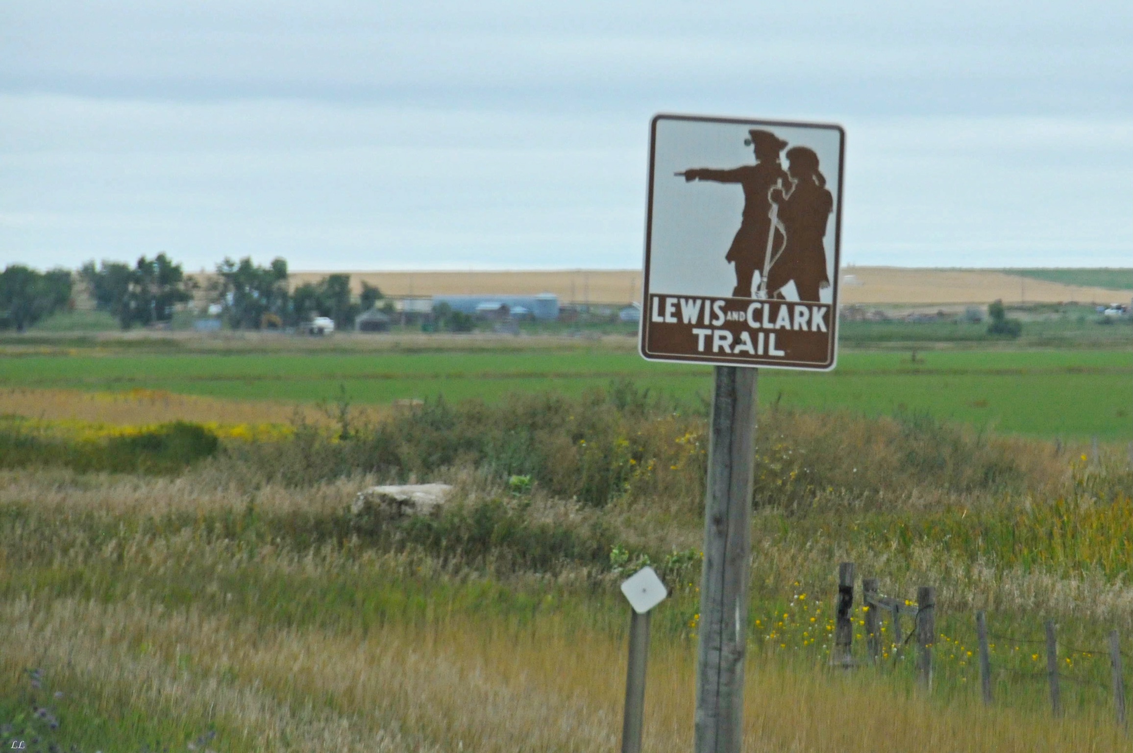
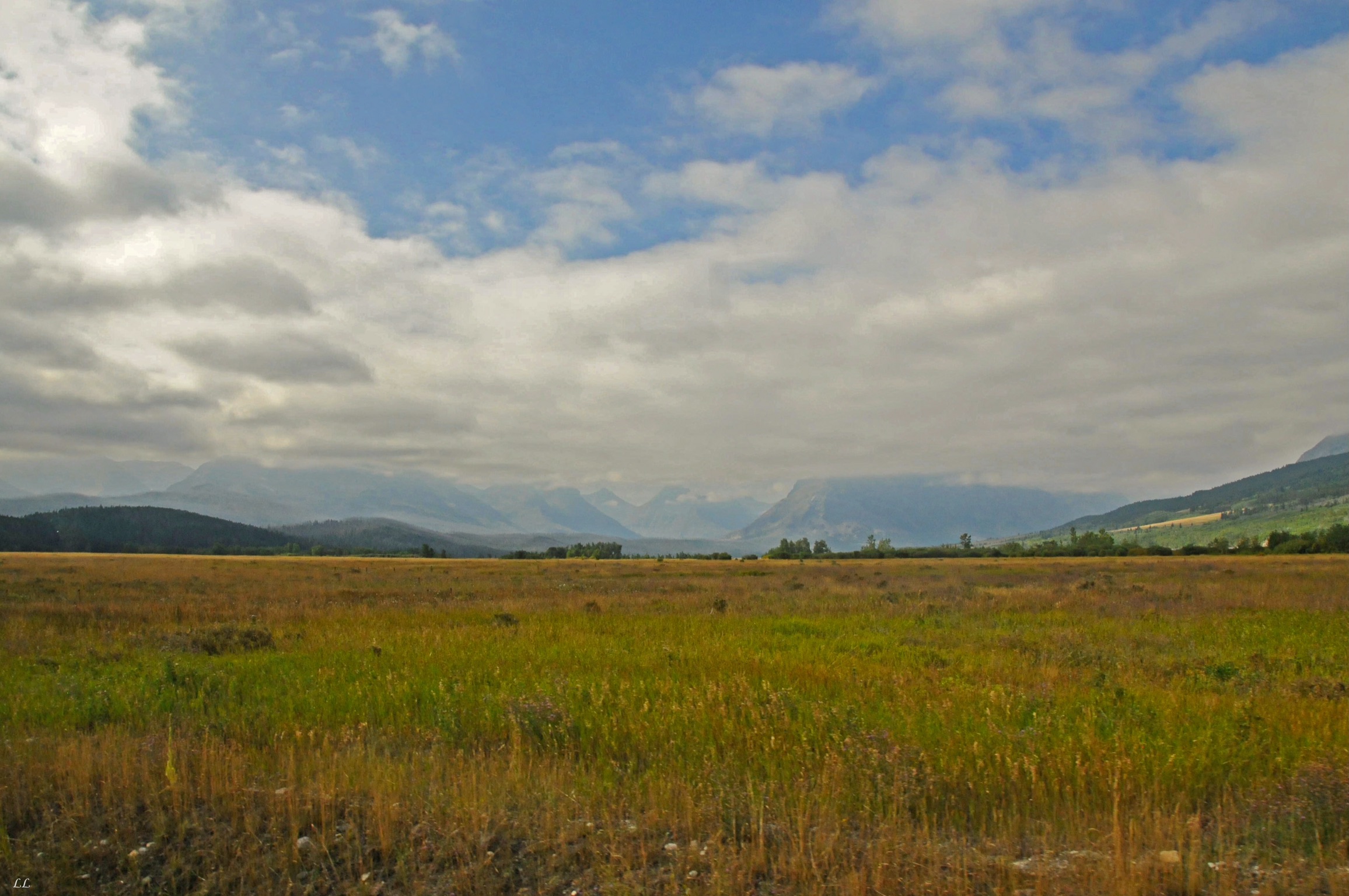
Driving through this part of the country gave us a whole new perspective on the courage and perseverance of the early explorers. It took us days to drive across. Imagine doing it all on foot! Months of arduous trekking with no idea what’s to come. Amazing!


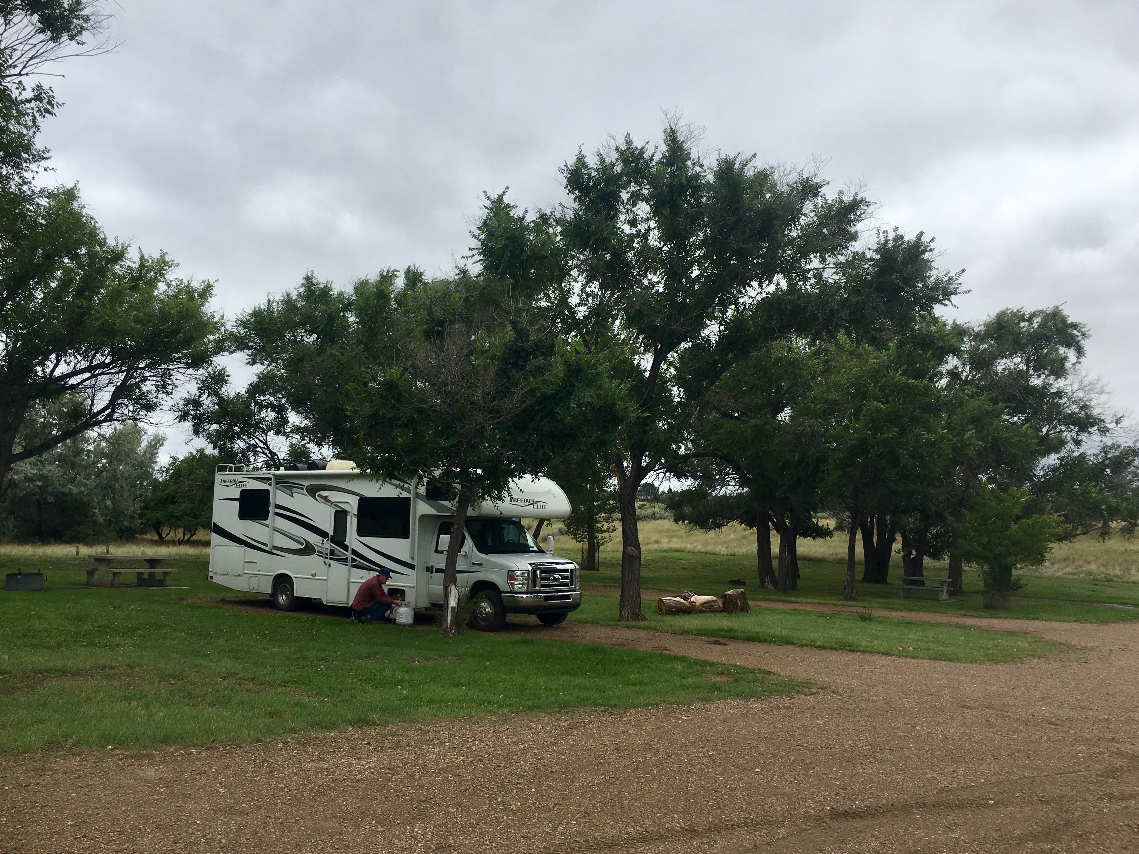
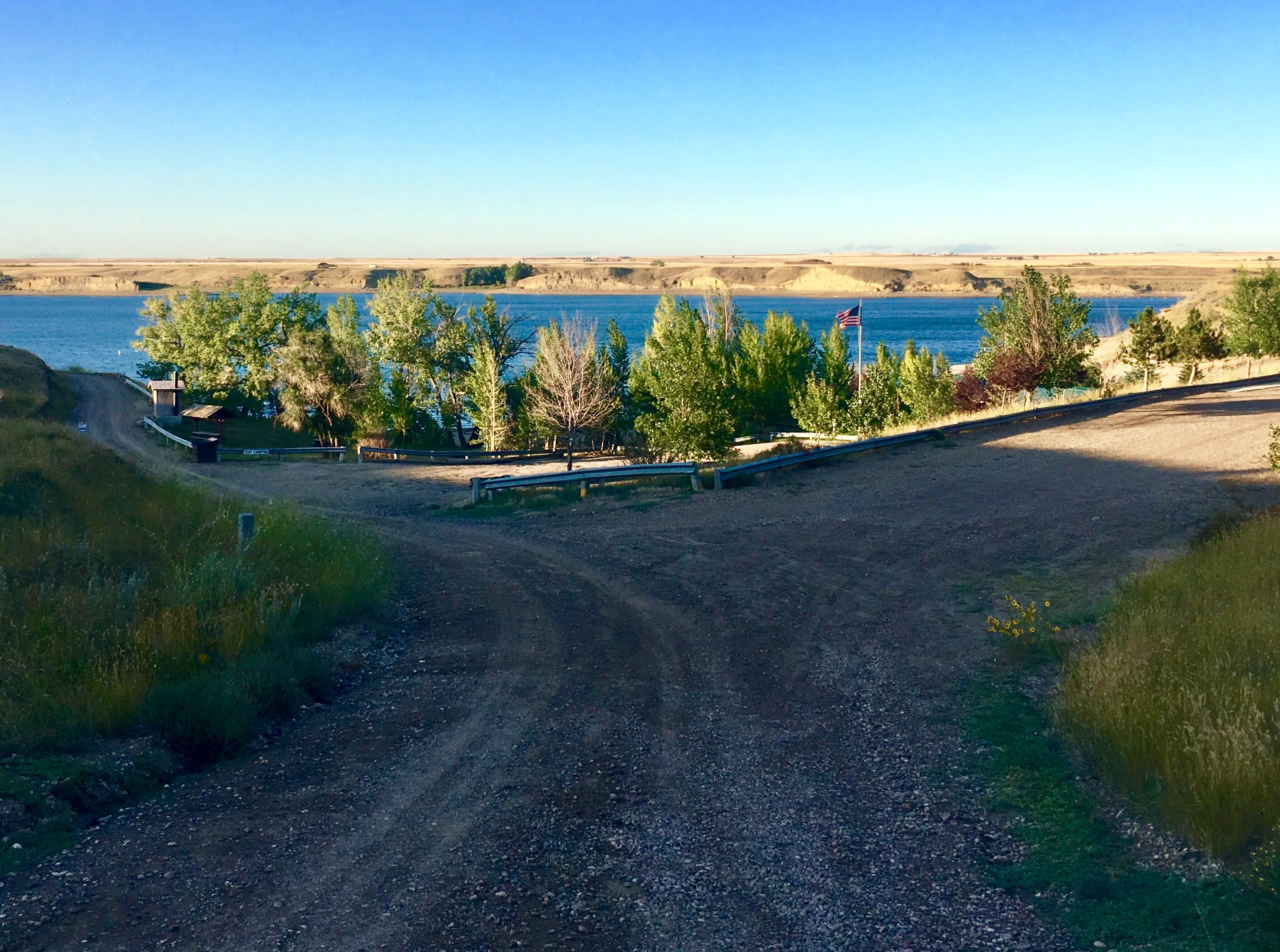
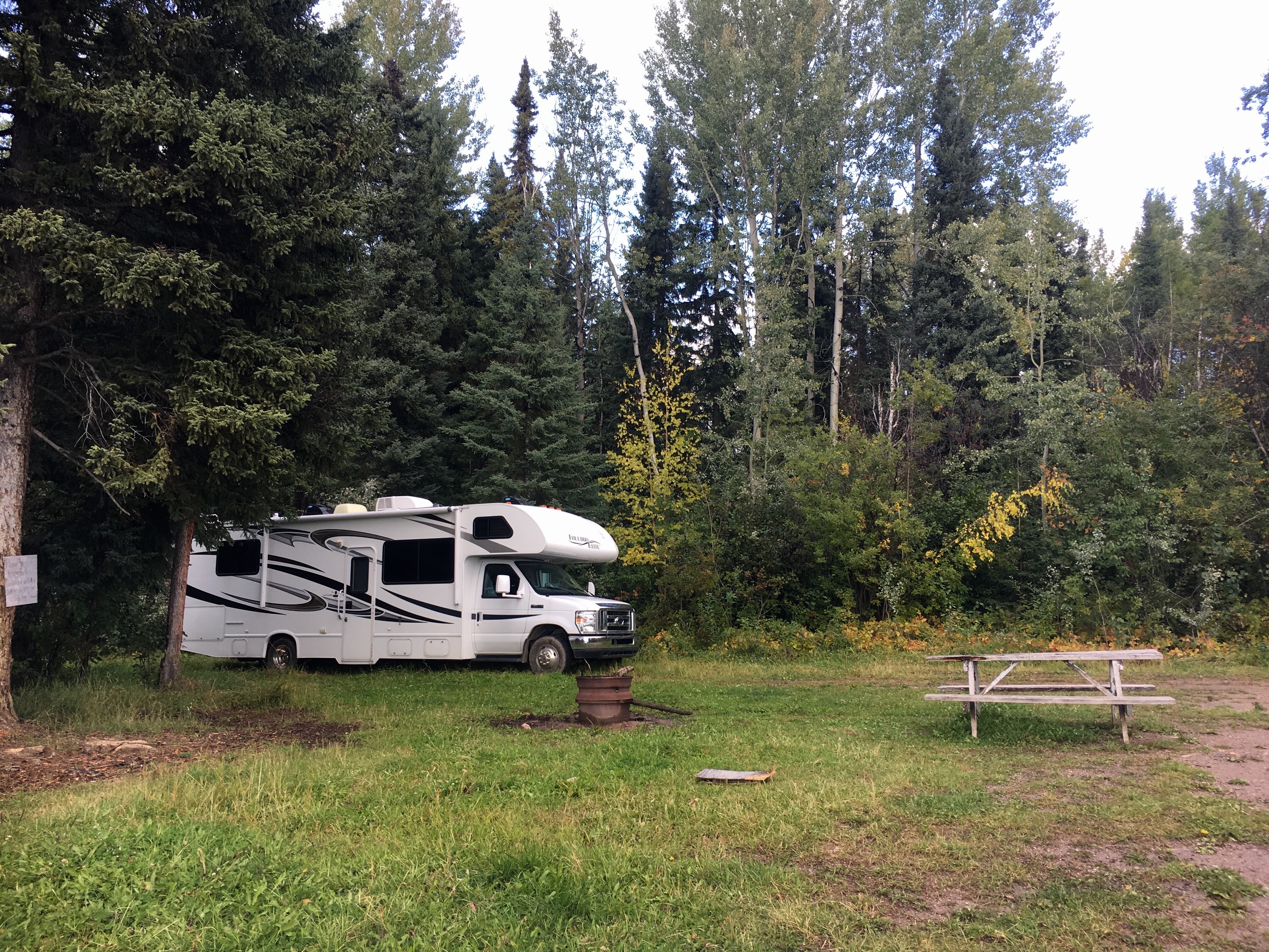
Another boring, old campsite! Tucked up in the shade alongside a beautiful lake. All these lake visits have us talking about kayaks…
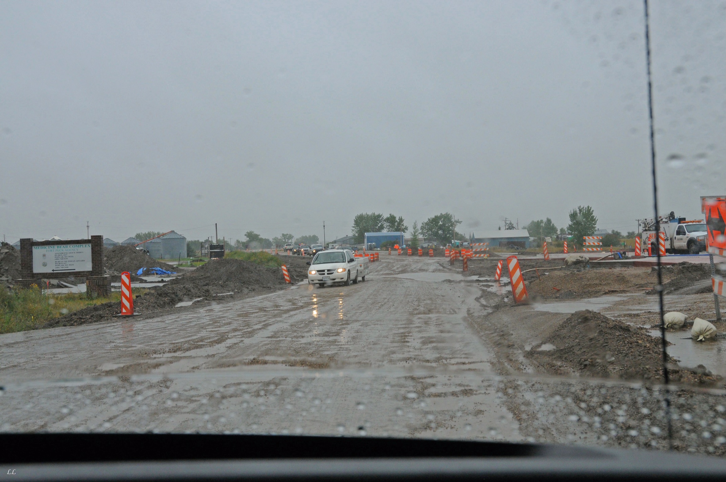
Sometimes the road construction reminds of Alaska. We found a several mile long stretch of mud and potholes that brought back memories!
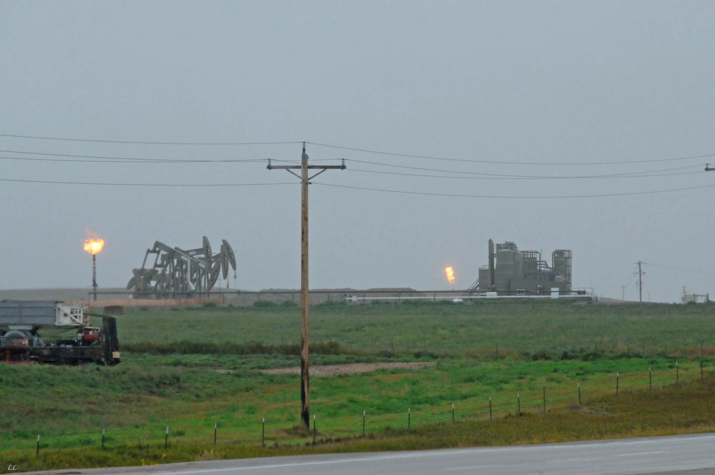
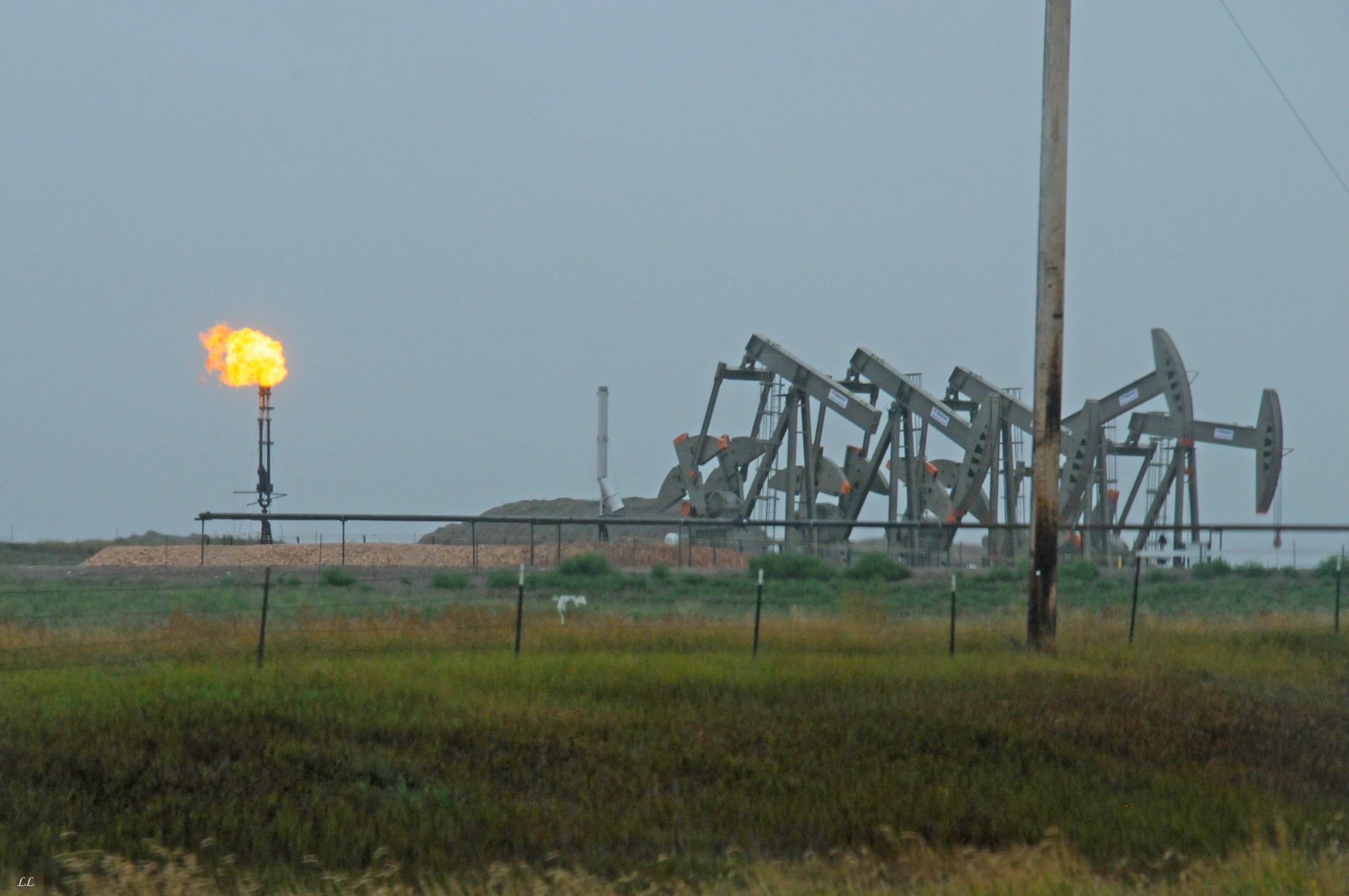
Oil wells seemingly everywhere. The flares could be seen all over the horizon.
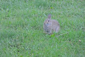
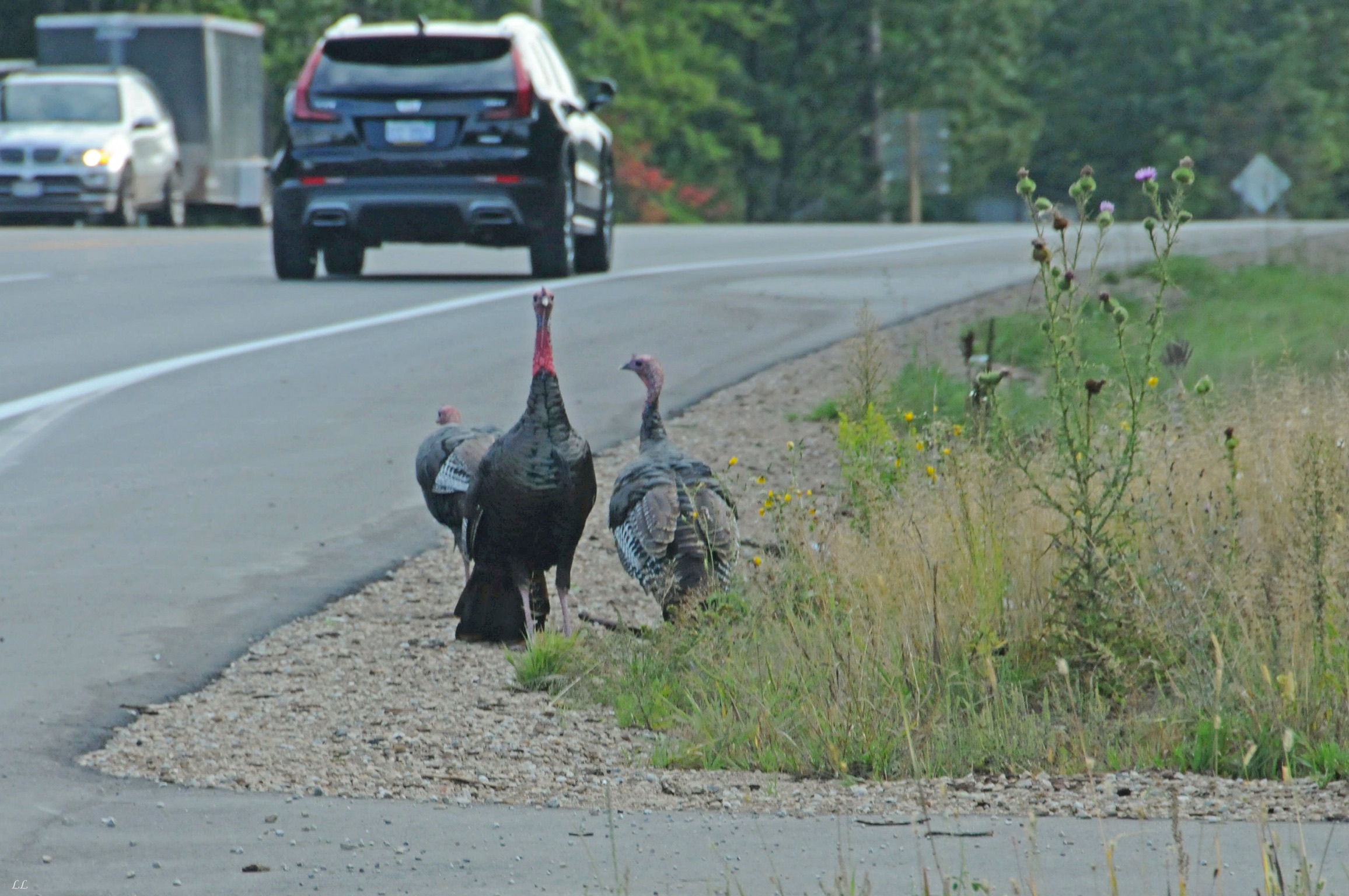
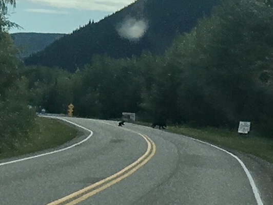
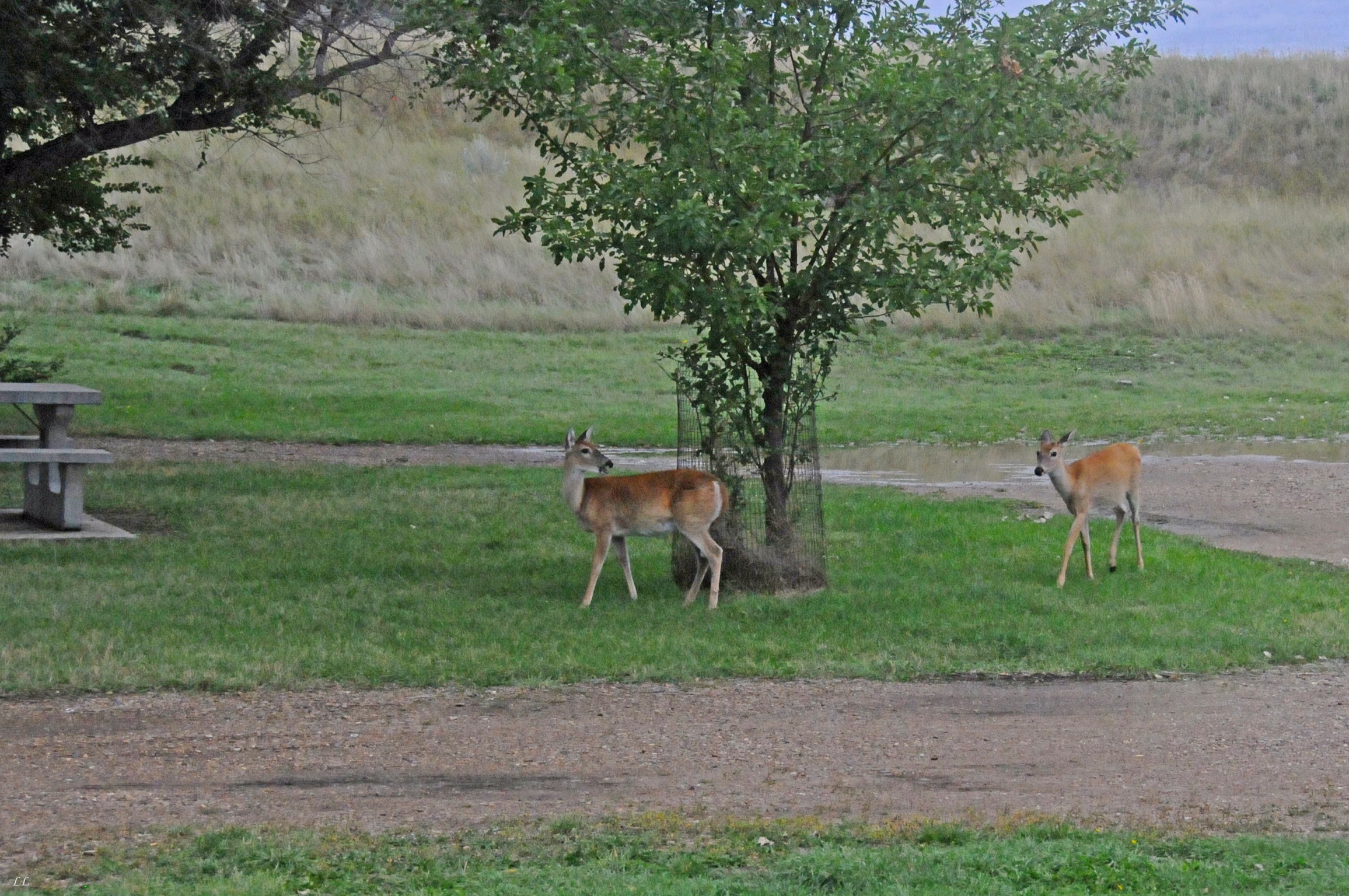
Wildlife alert!
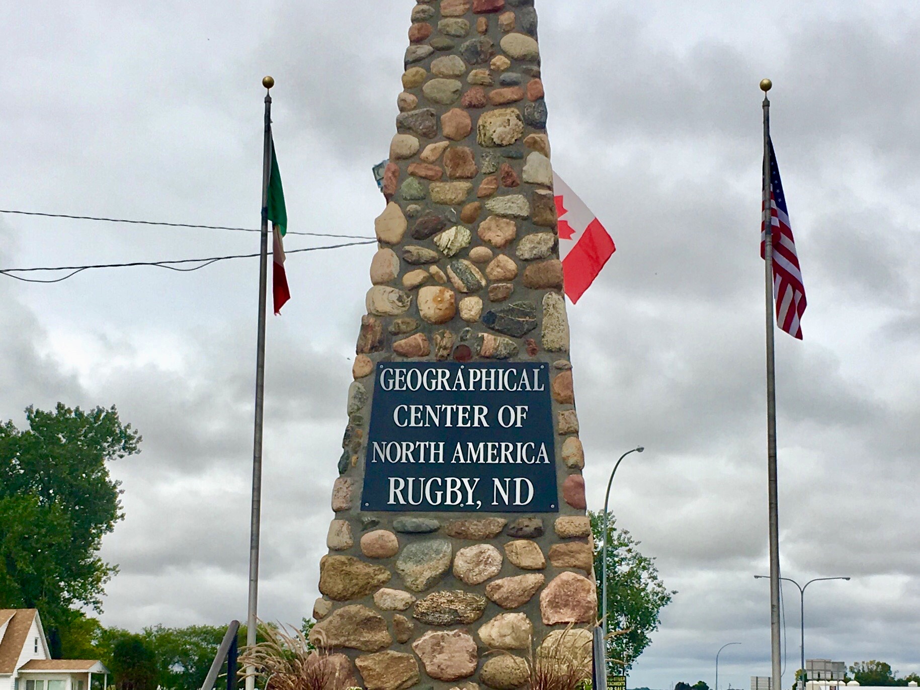
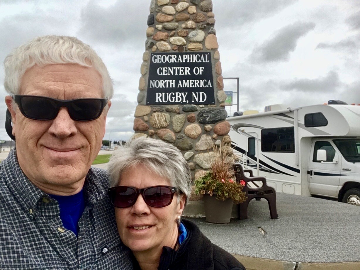
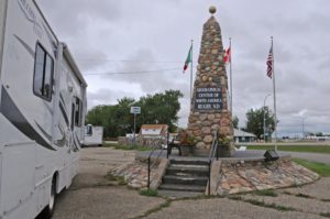
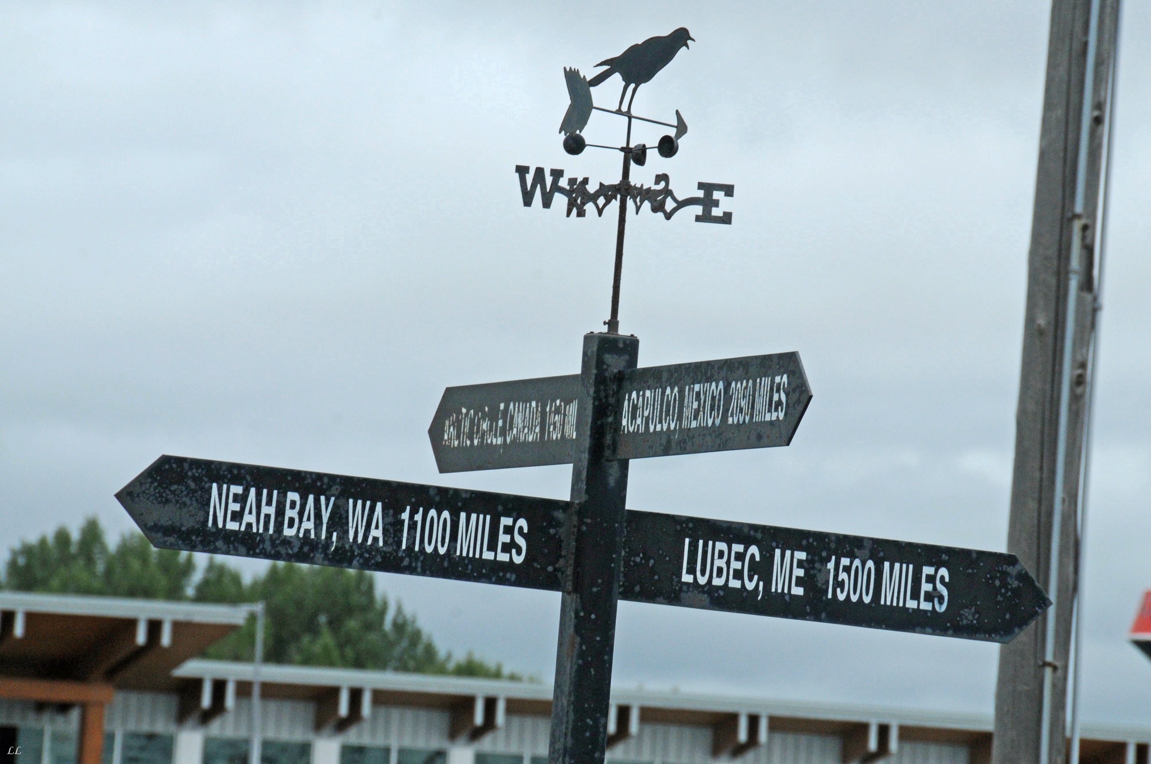
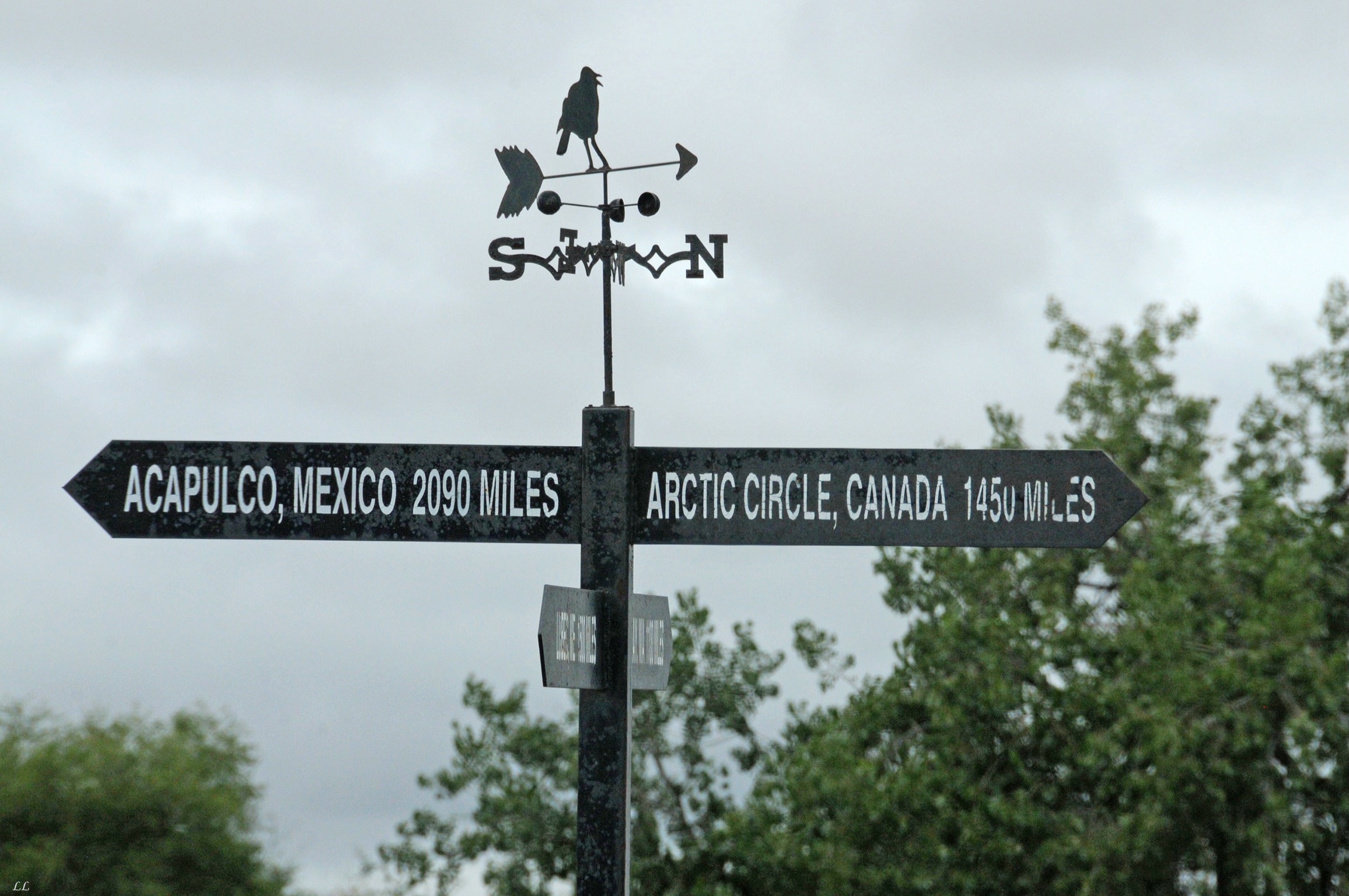
Apparently there is some dispute about exactly where the geographic center of the country is, but we know for sure because we found the sign! This spot was claimed first and was based on a pretty simple method. Someone made a paper model of the country then balanced it on a pin. The point where it balanced was right here. Forget all the fancy math calculations and let gravity sort it out!
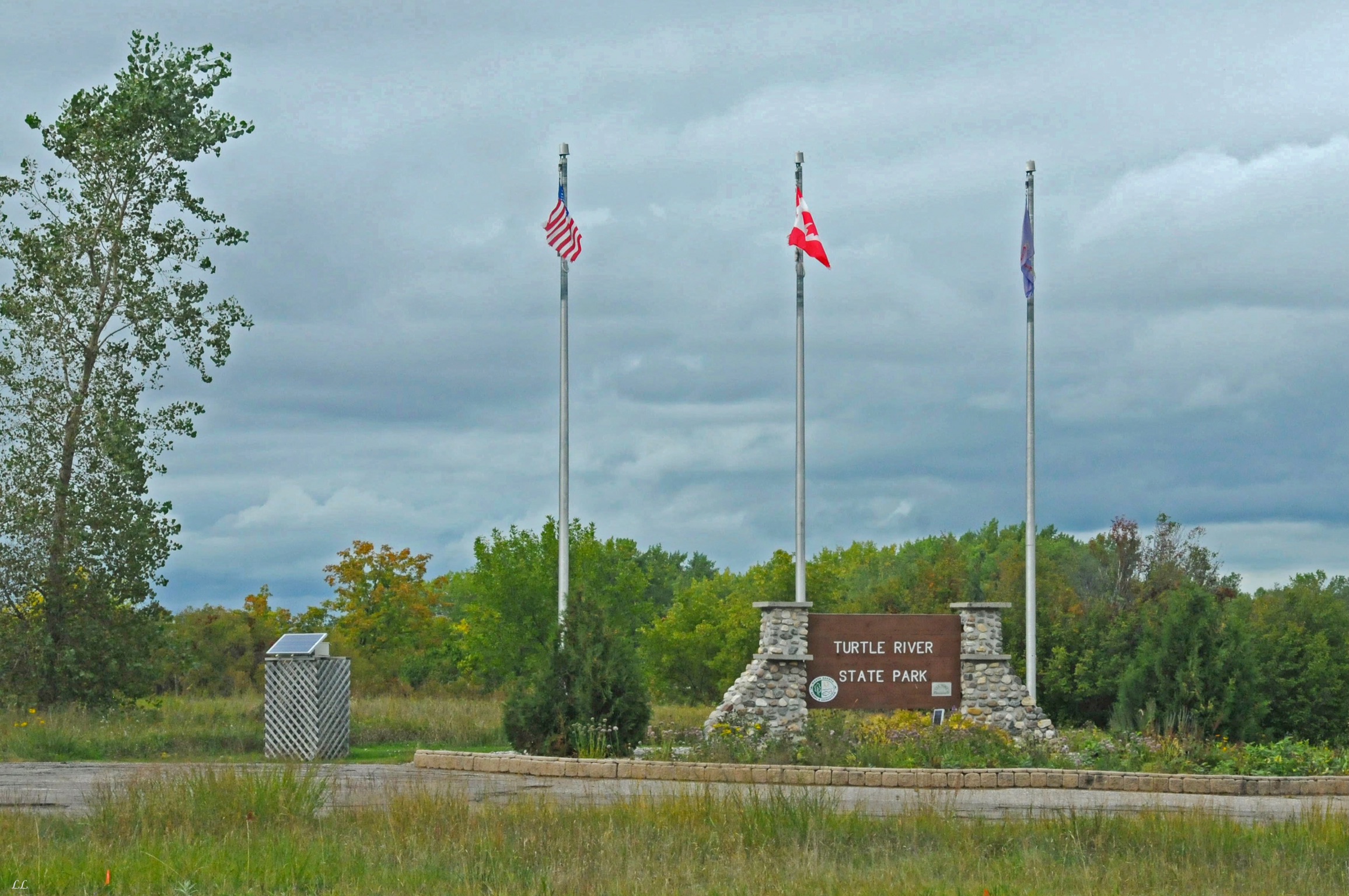
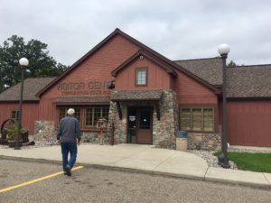
Camped at Turtle River state park

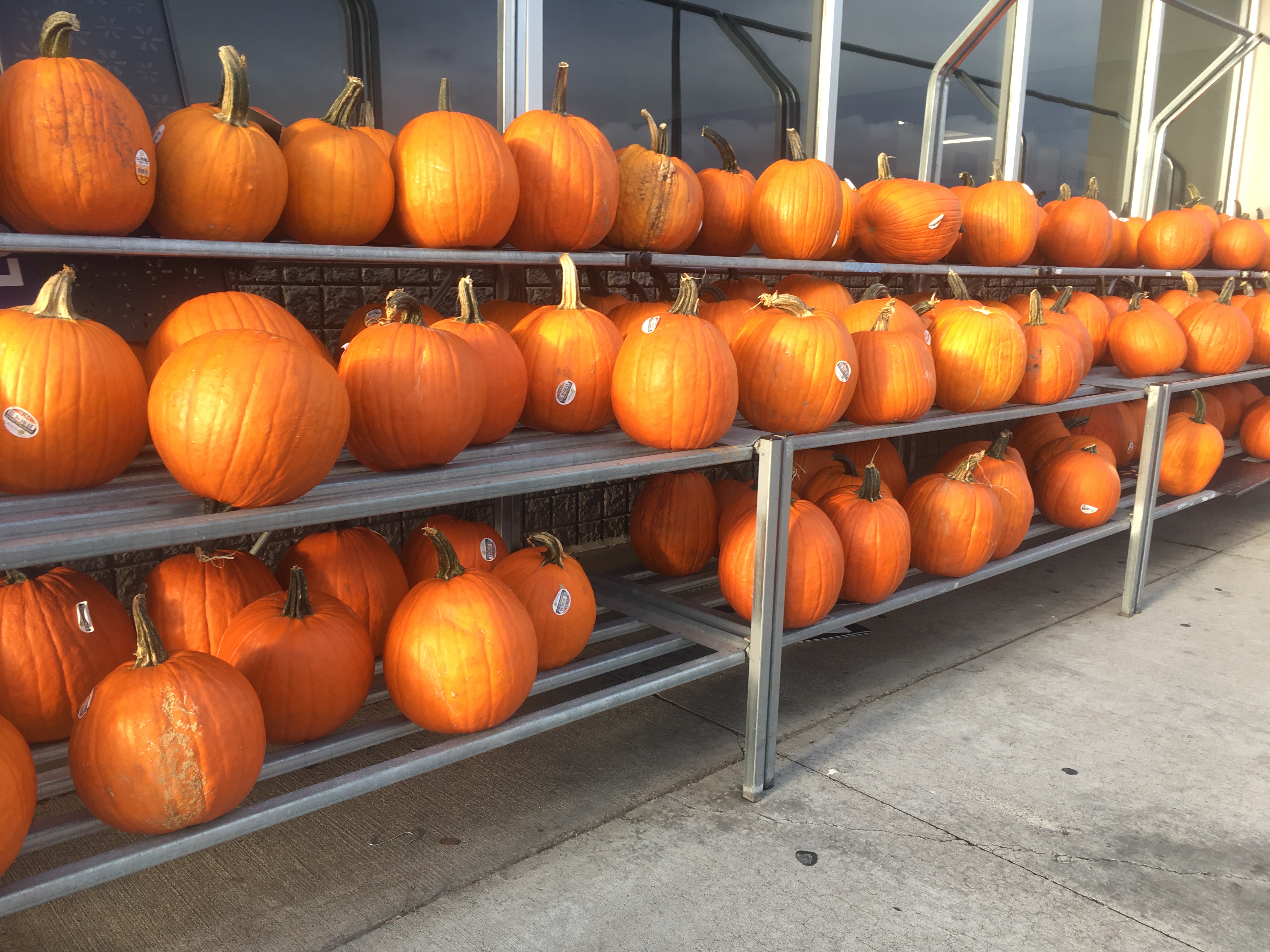
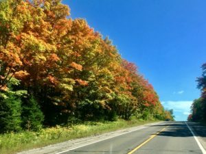
A sure sign that fall is coming quickly.
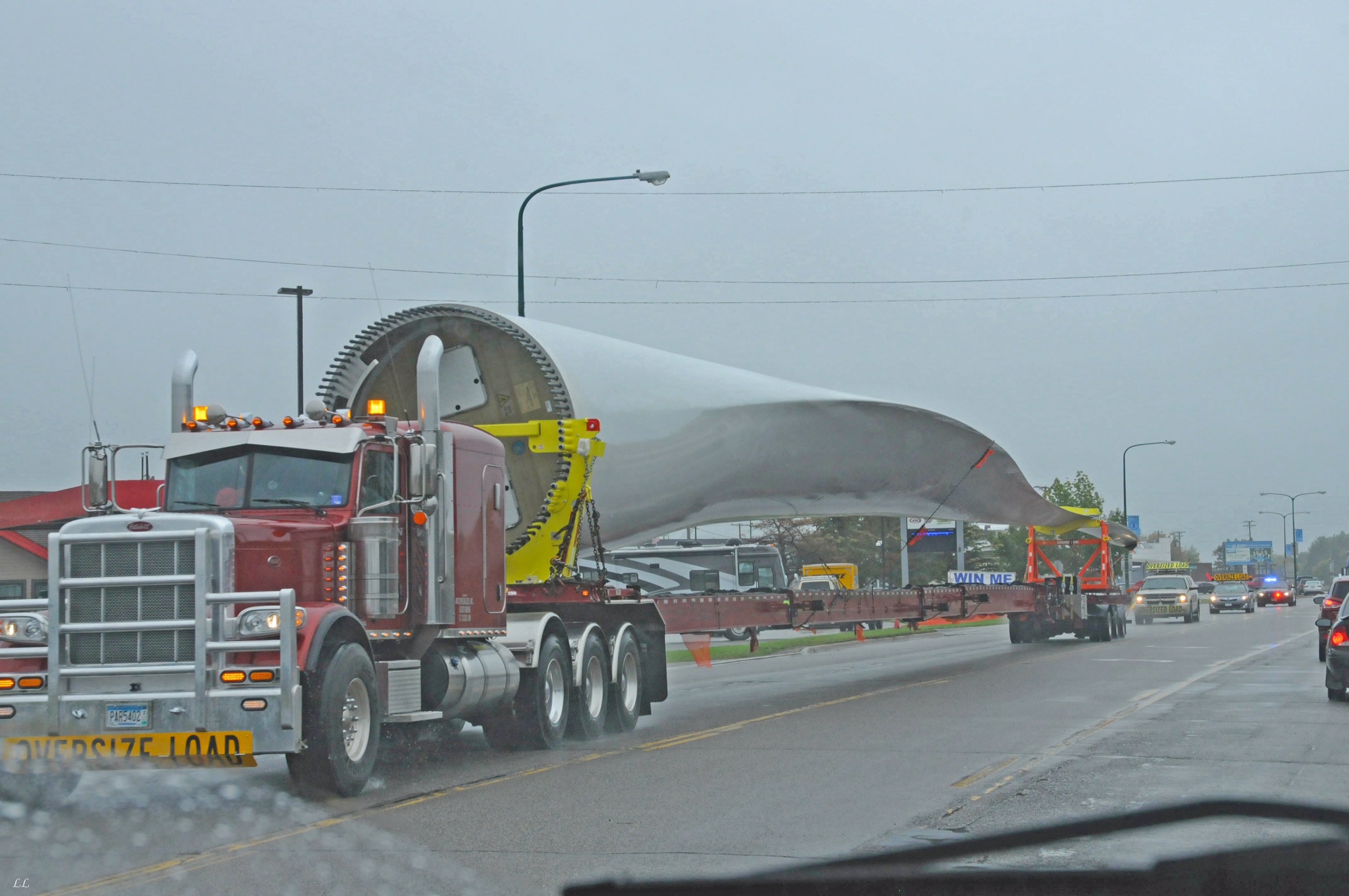
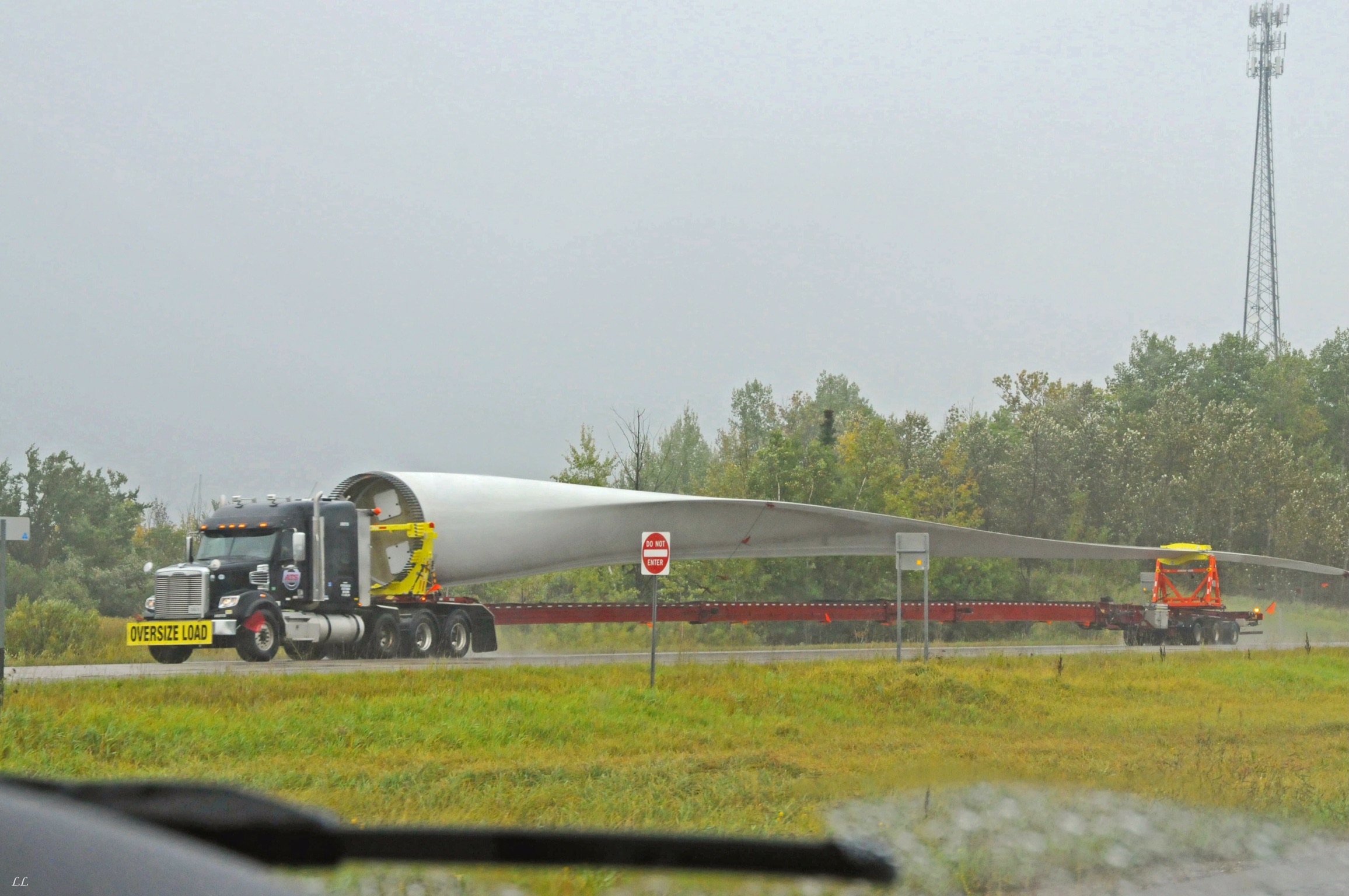
Ever wonder how those huge wind turbines are moved from the factory to the installation site? Wonder no more. They are trucked in, one blade at a time.
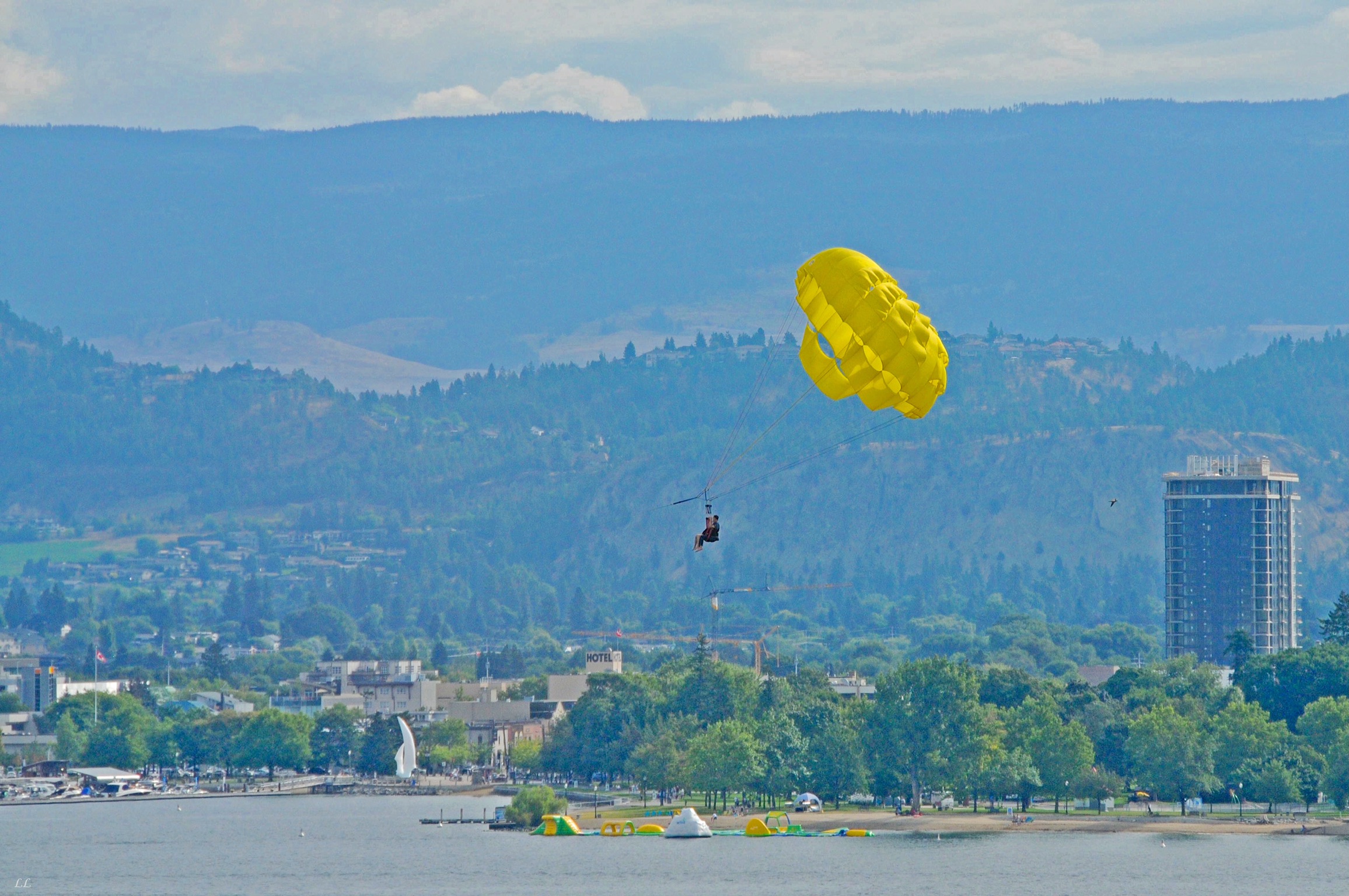
Is that really a sport?
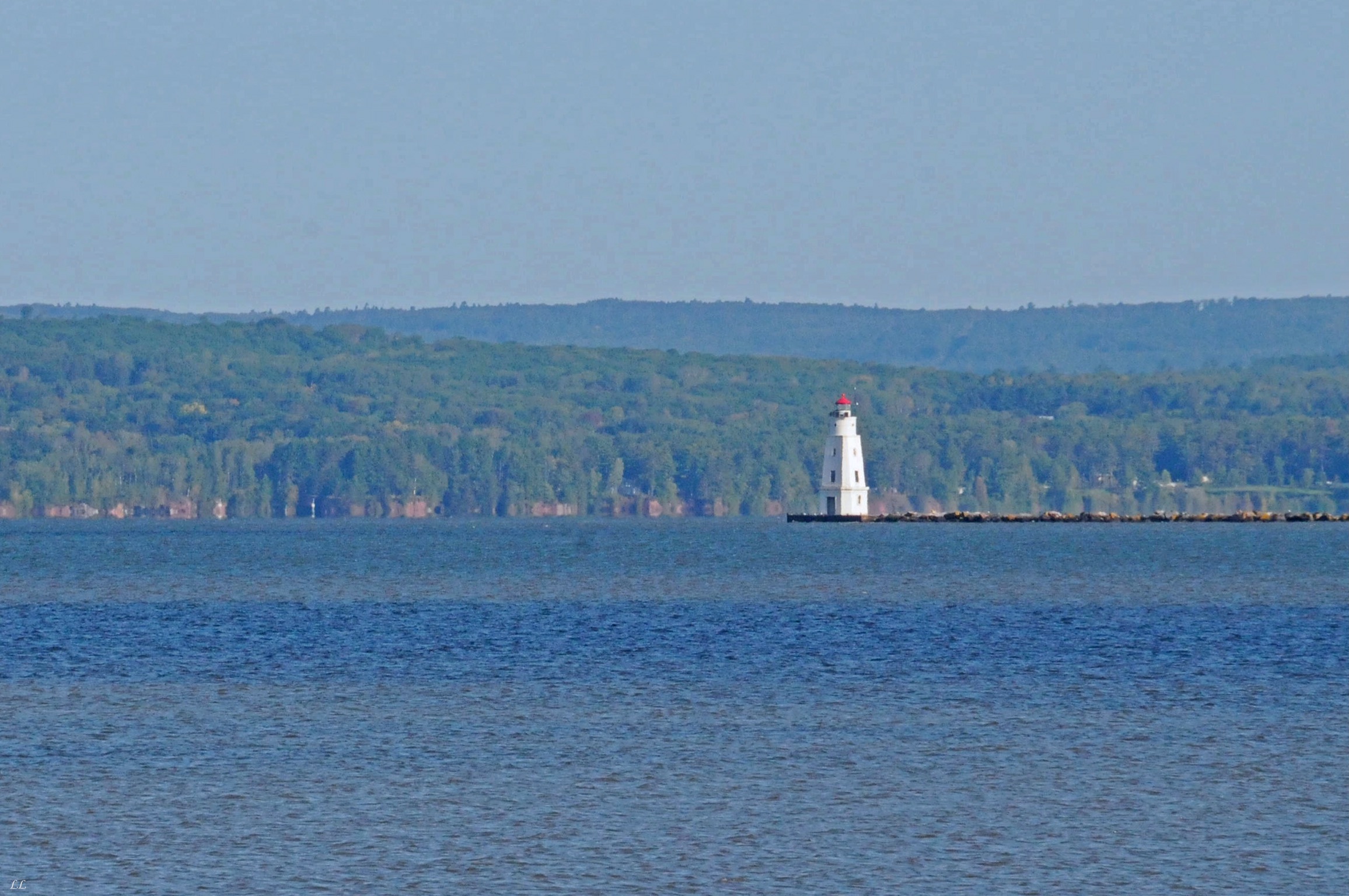
Lighthouses! We must be getting close to the Great Lakes!
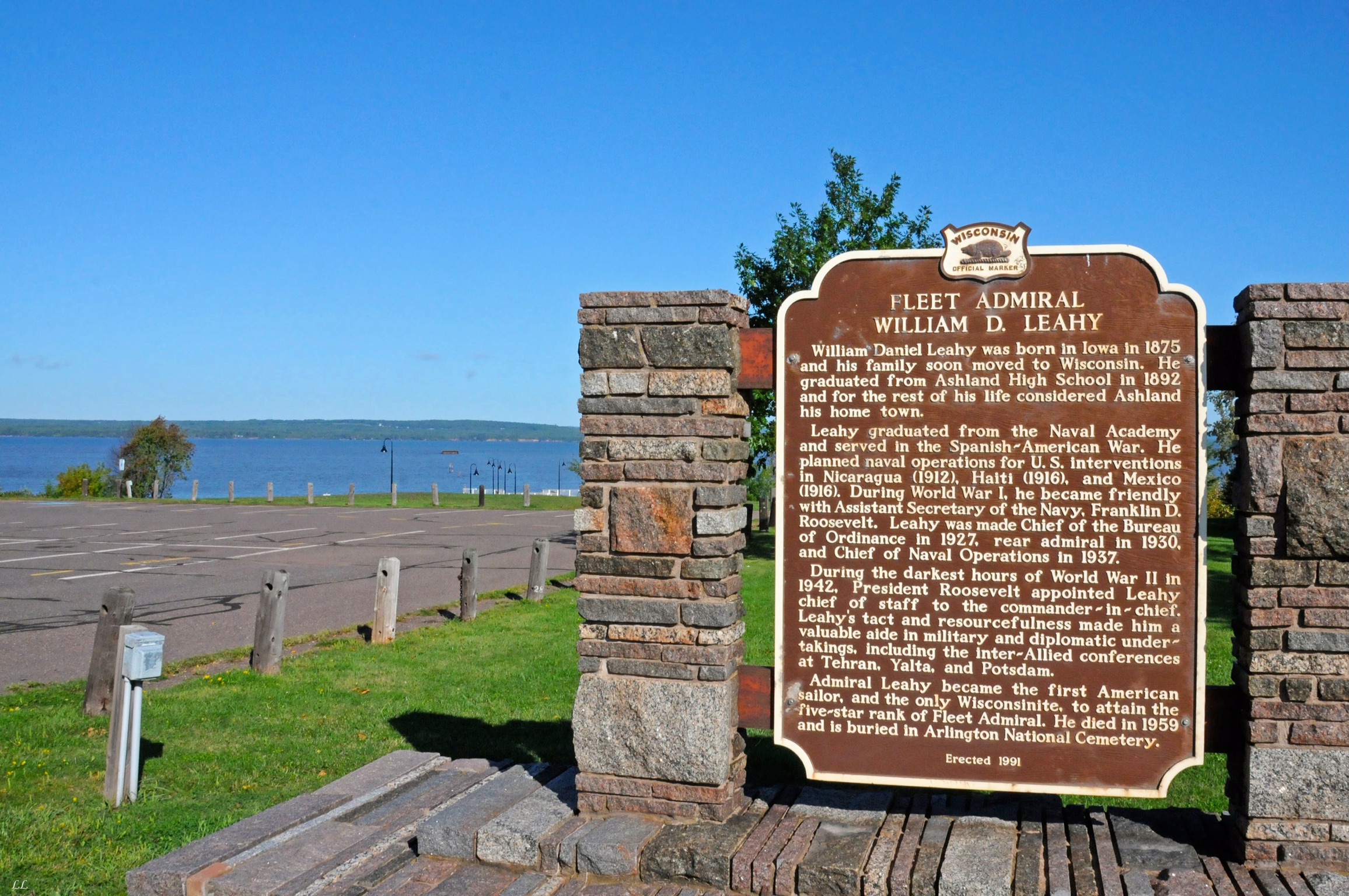
I remember studying Leahy way, way back. Something about “Sea Power.”
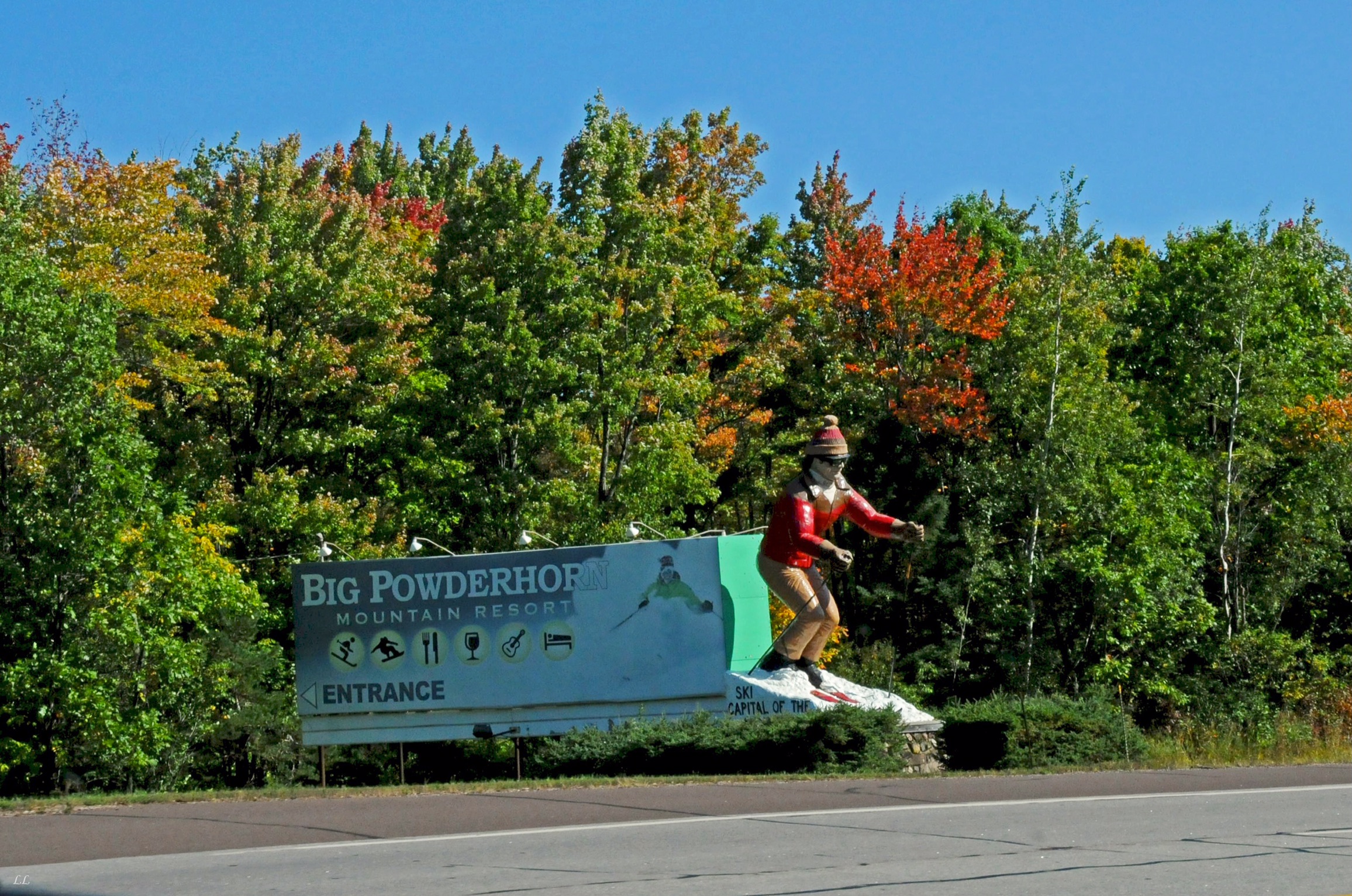
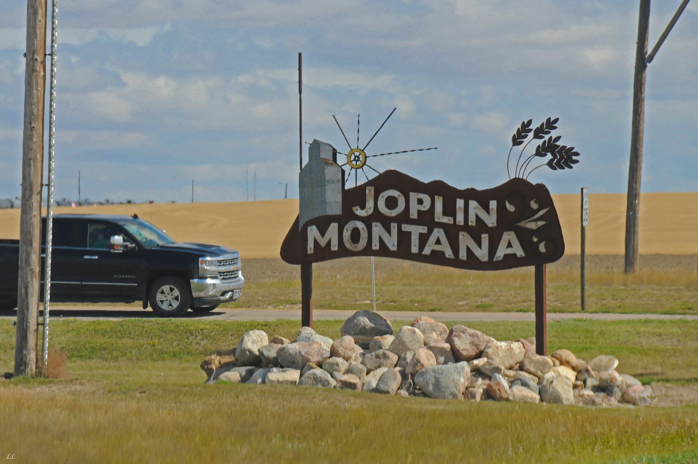
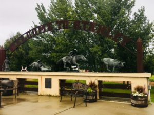
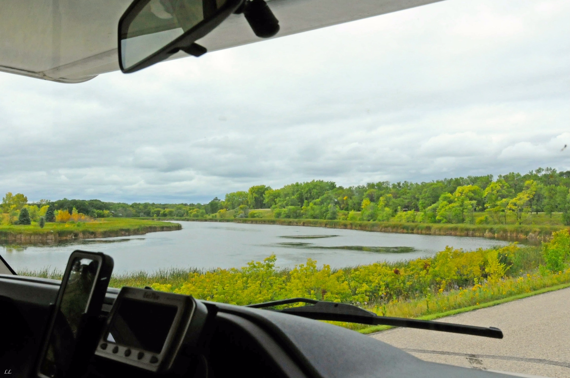
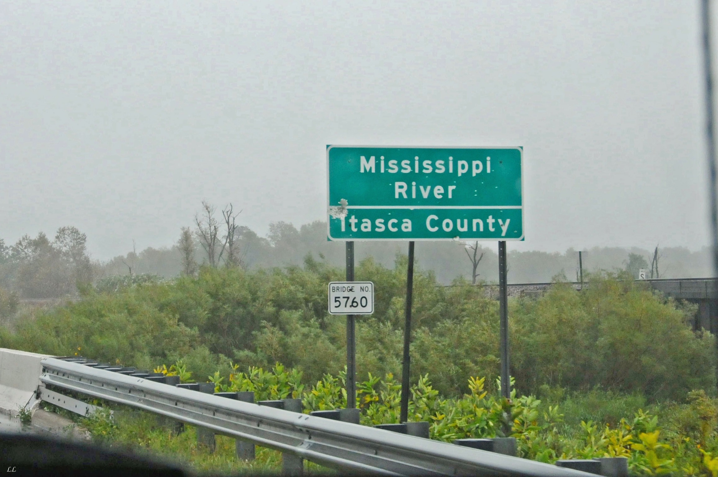
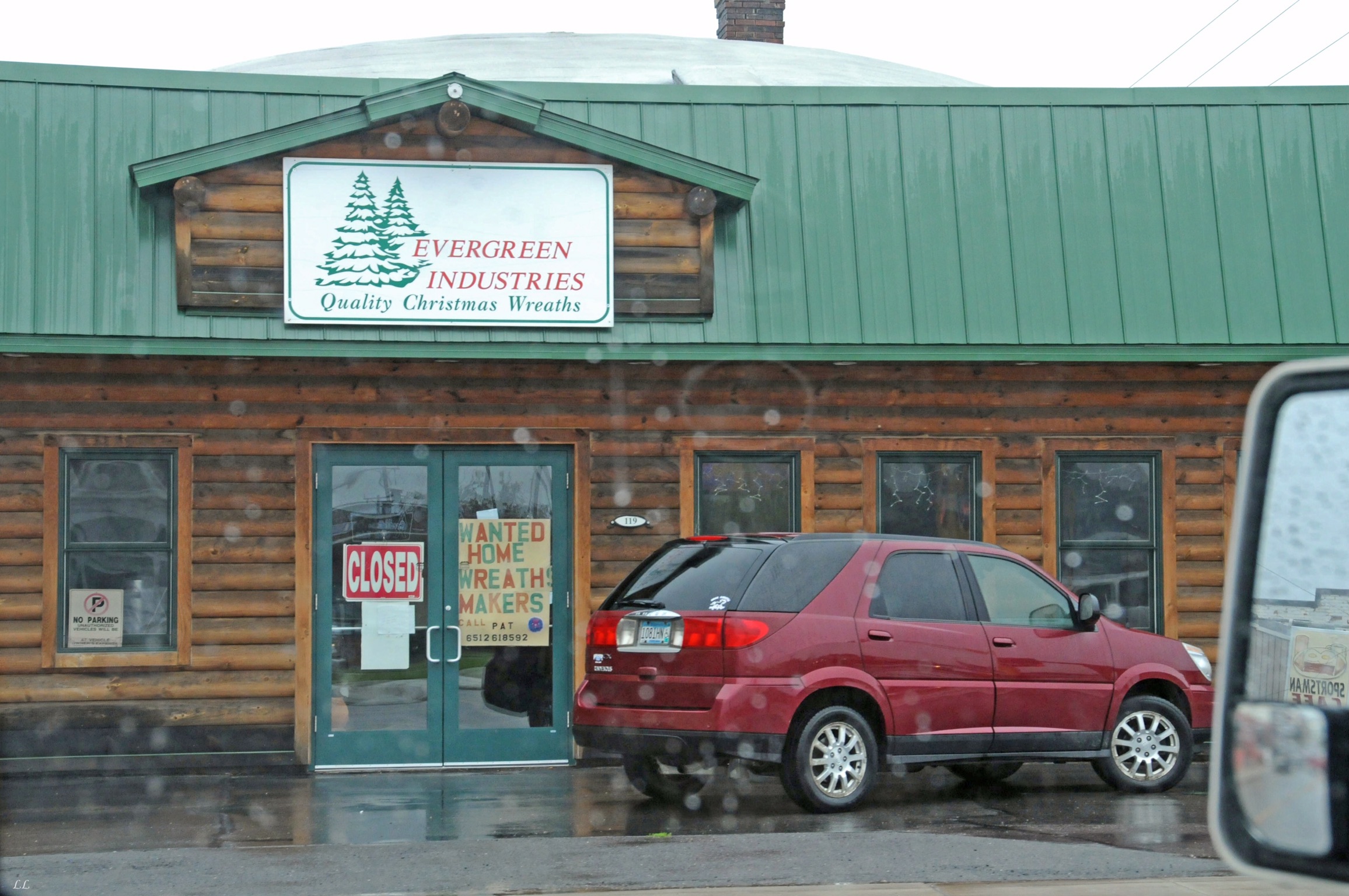
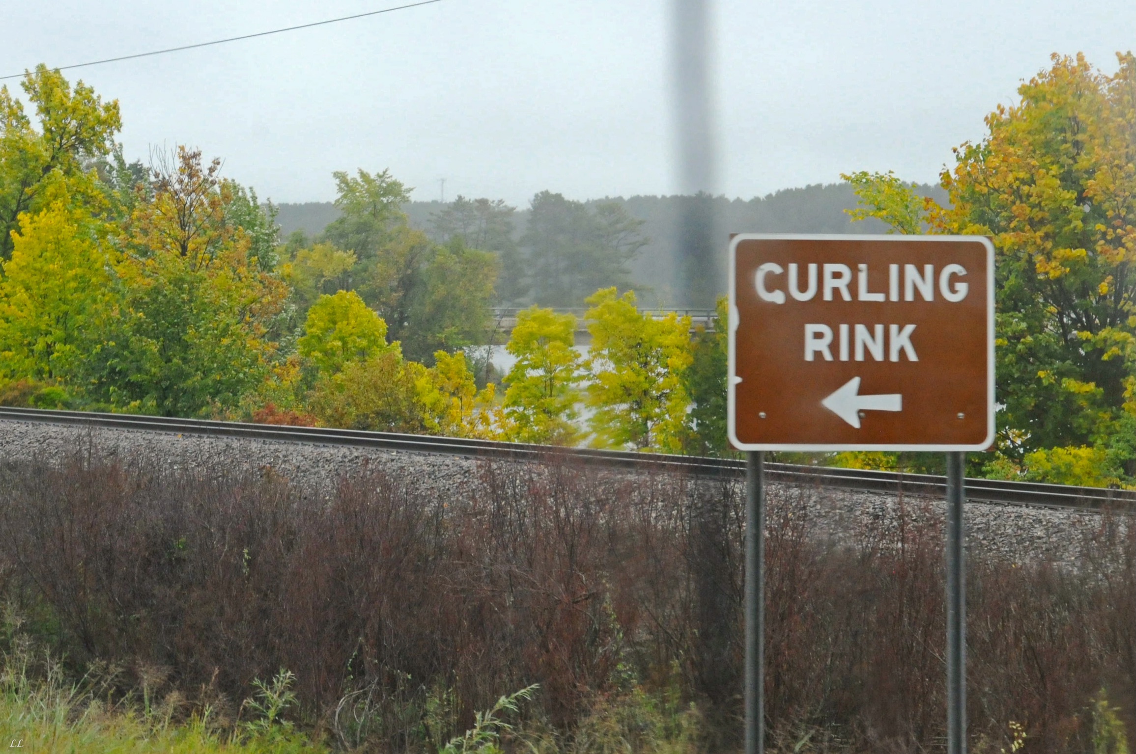
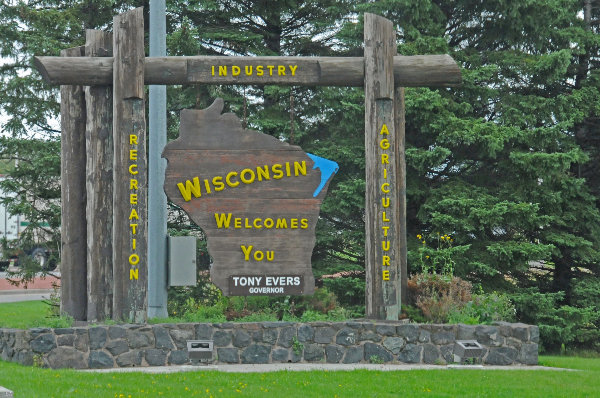
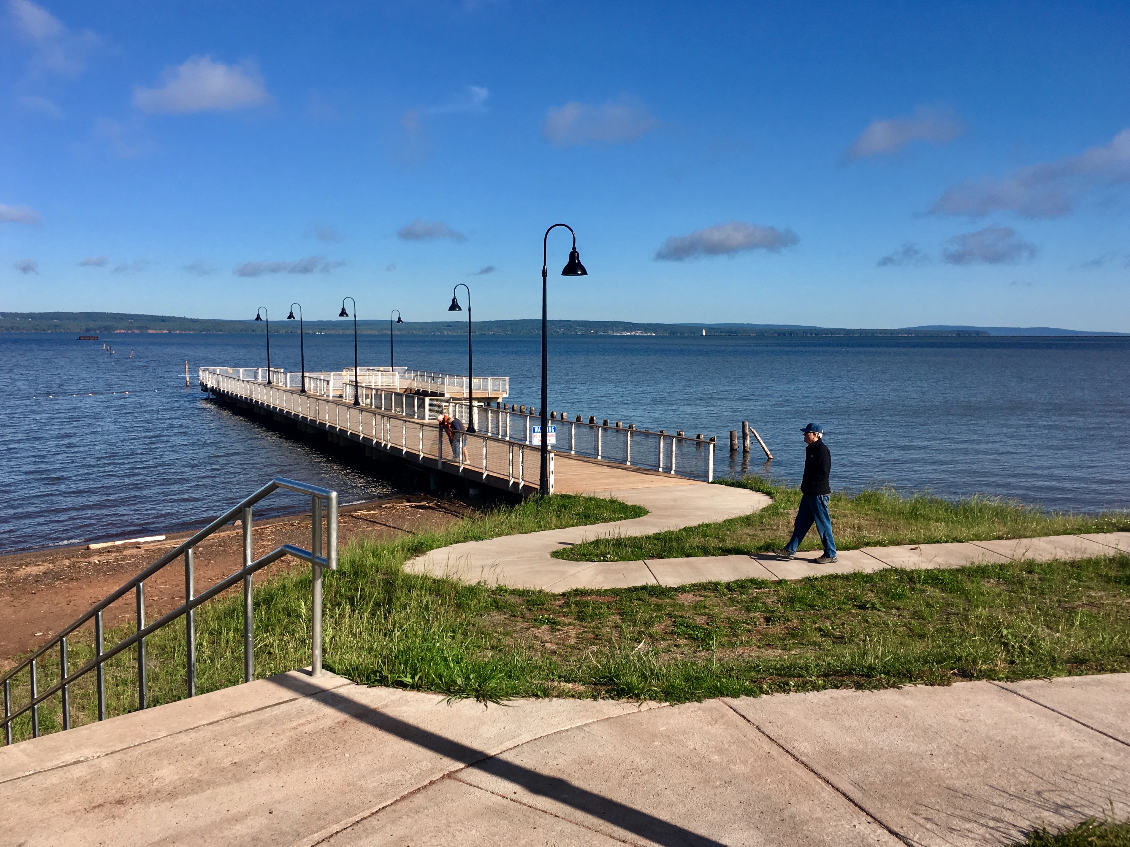
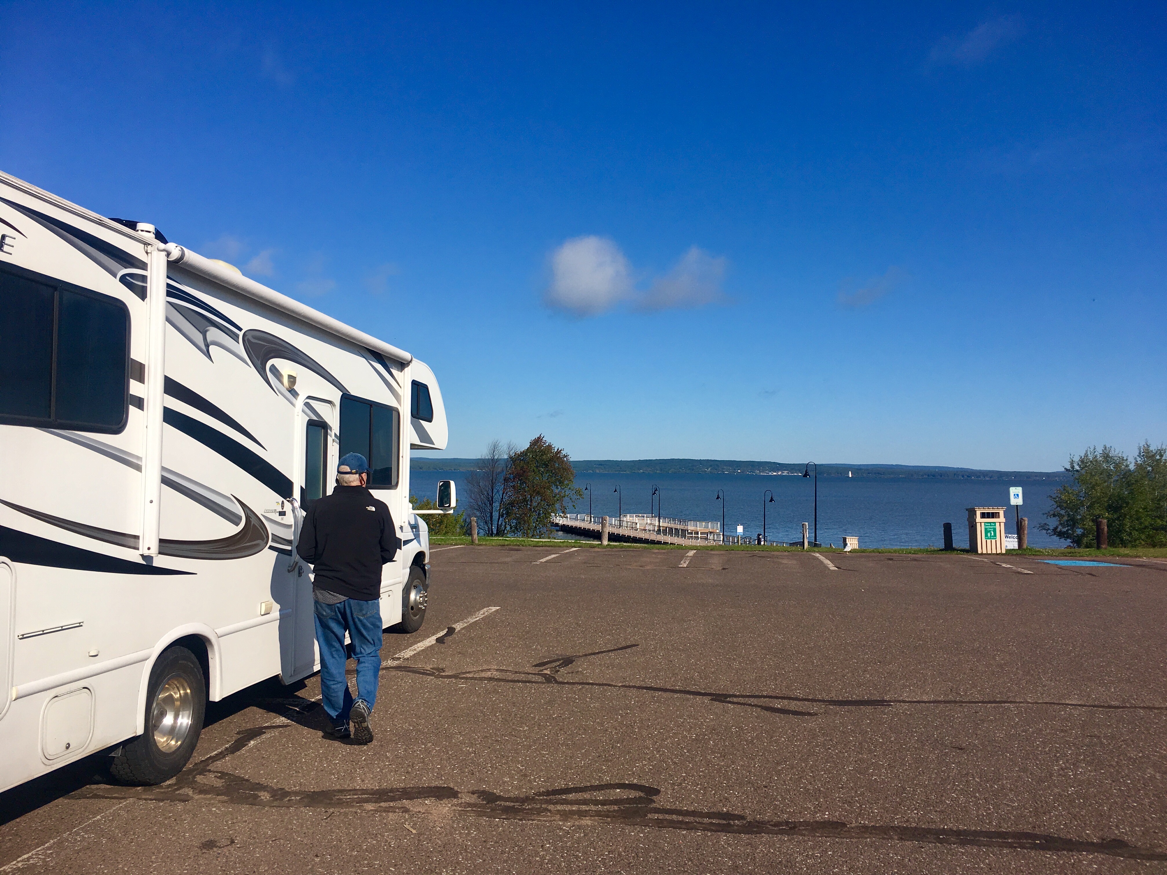
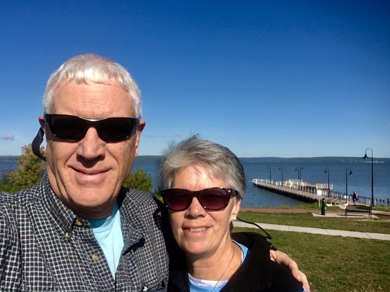
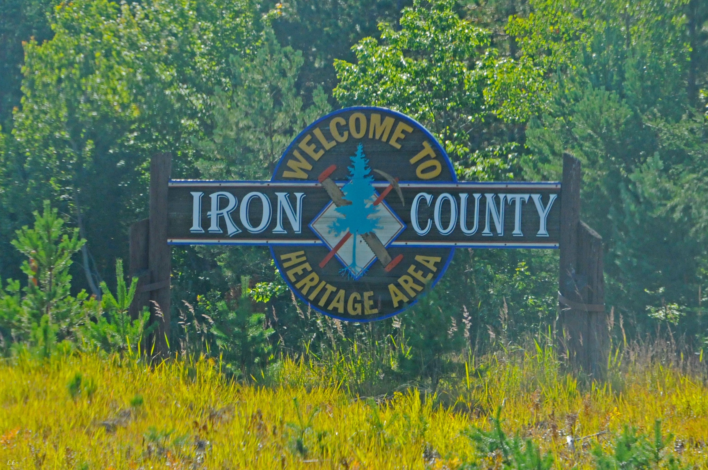
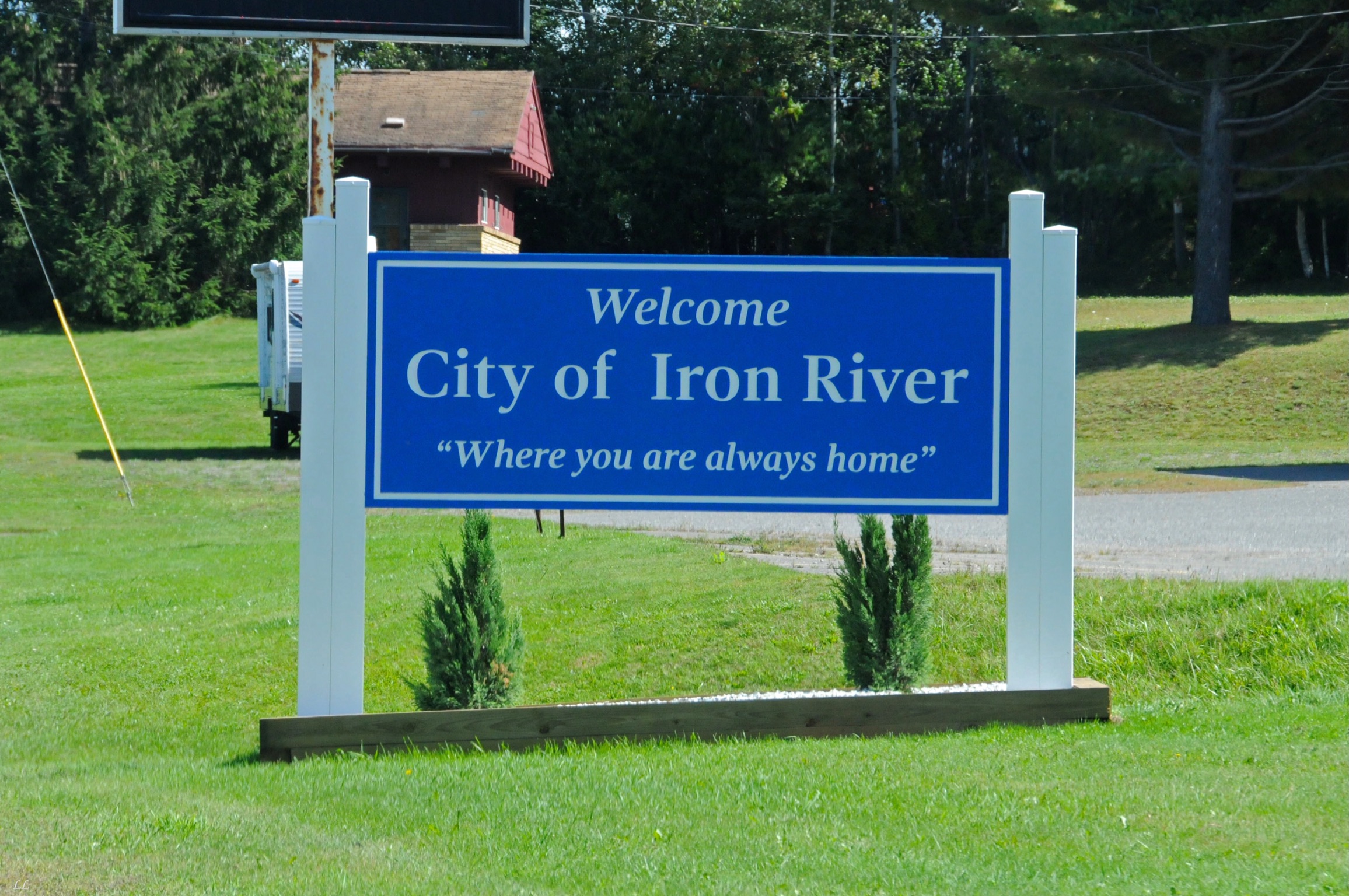
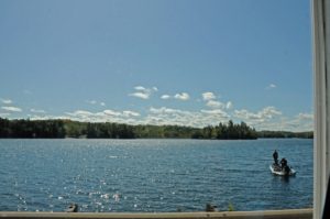
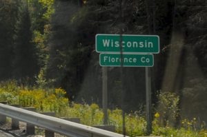
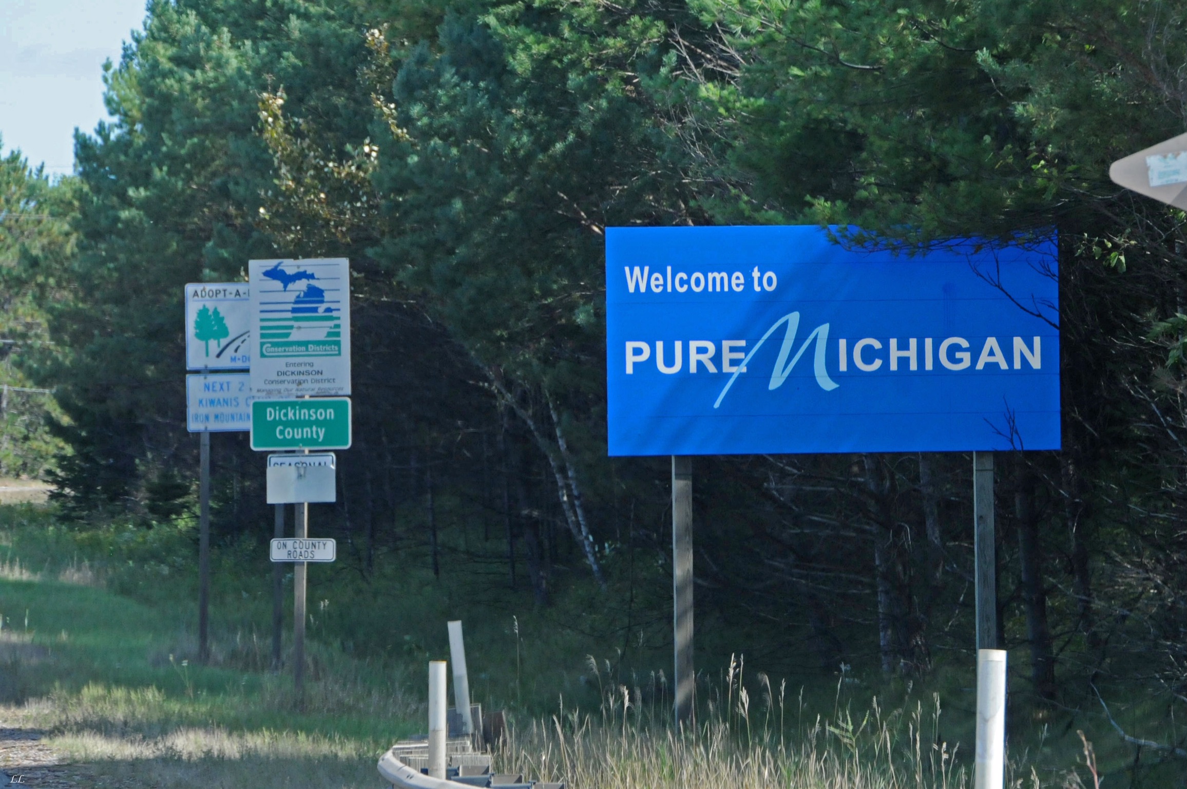
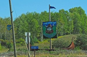
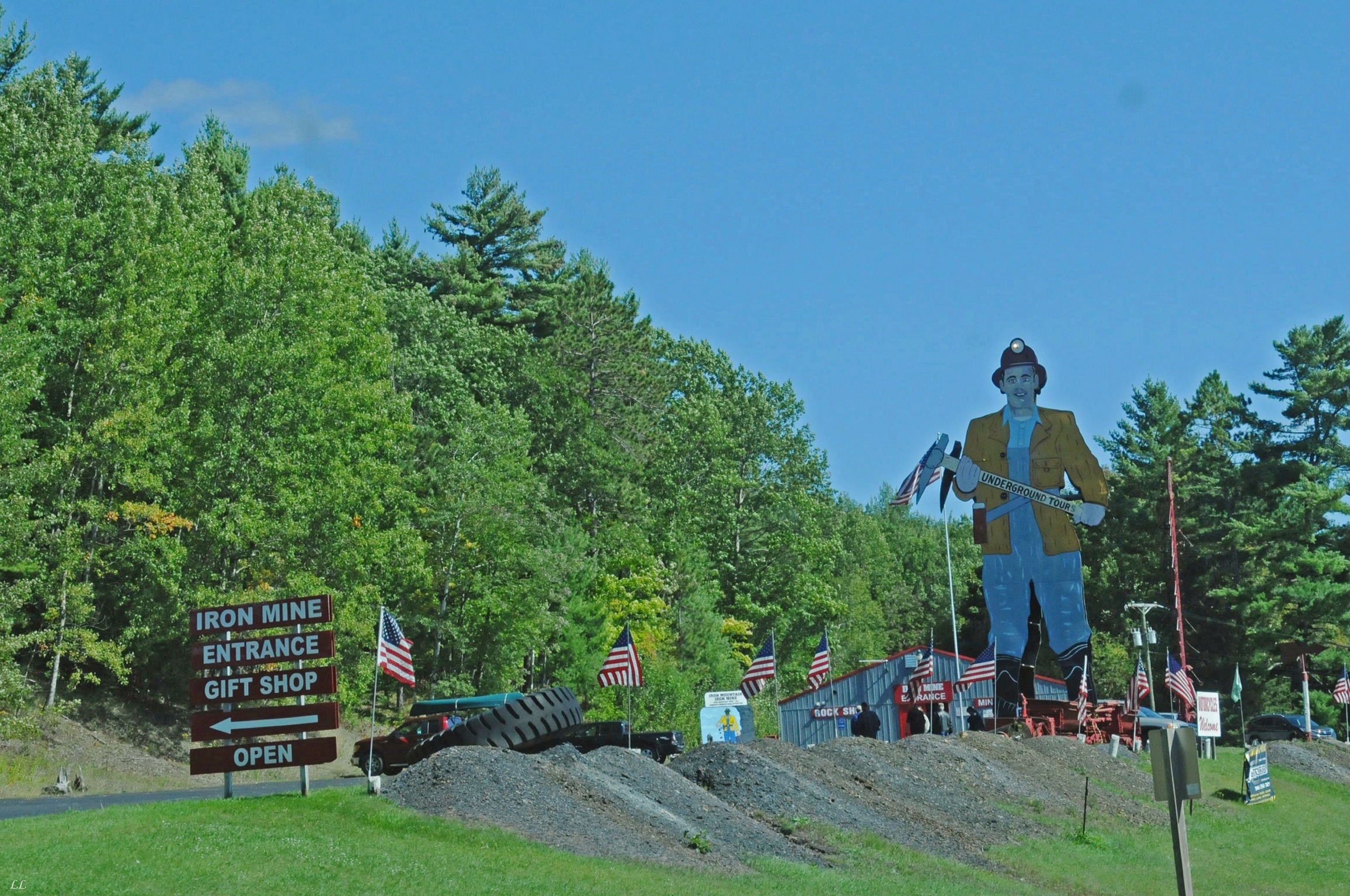
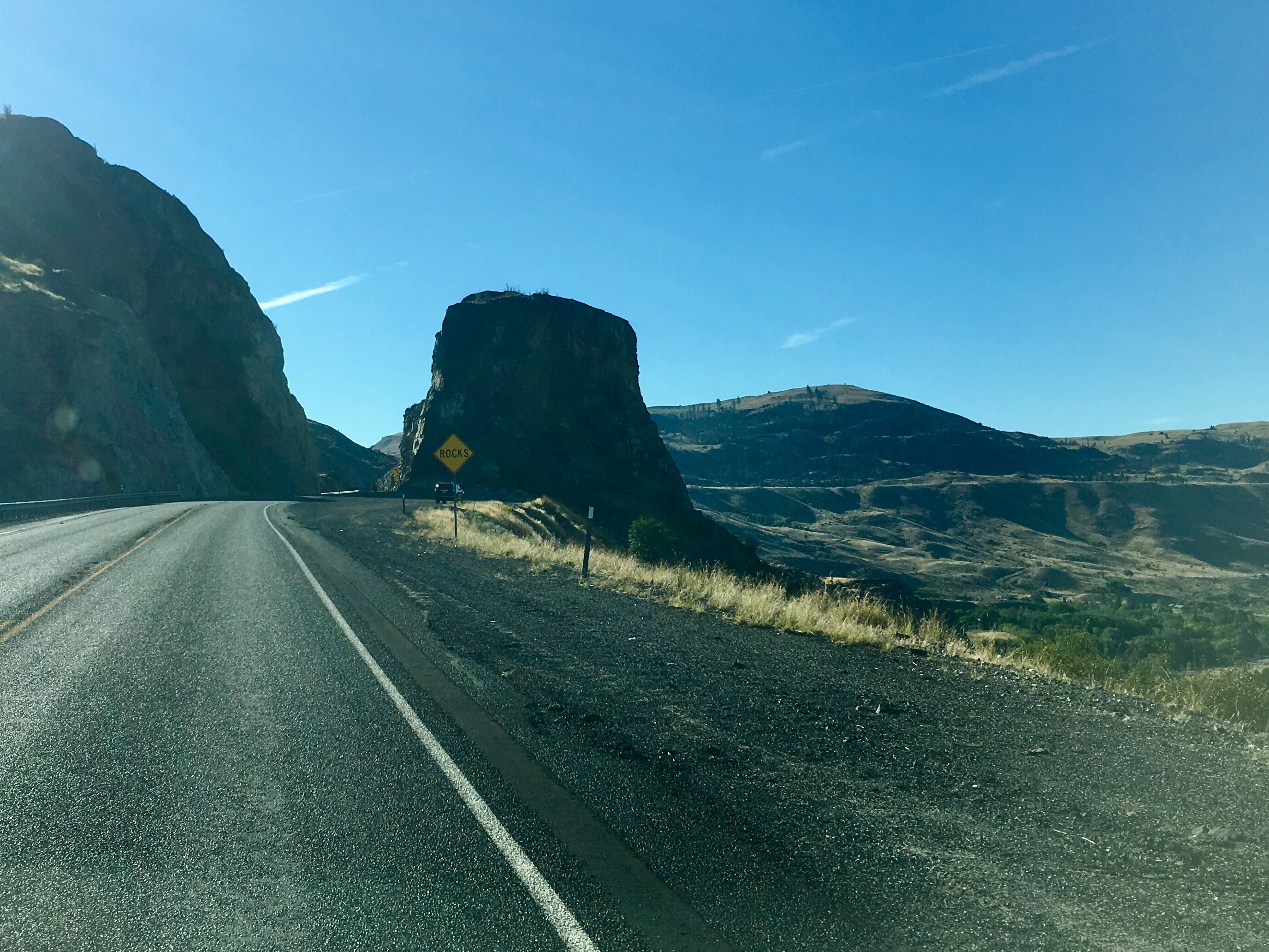
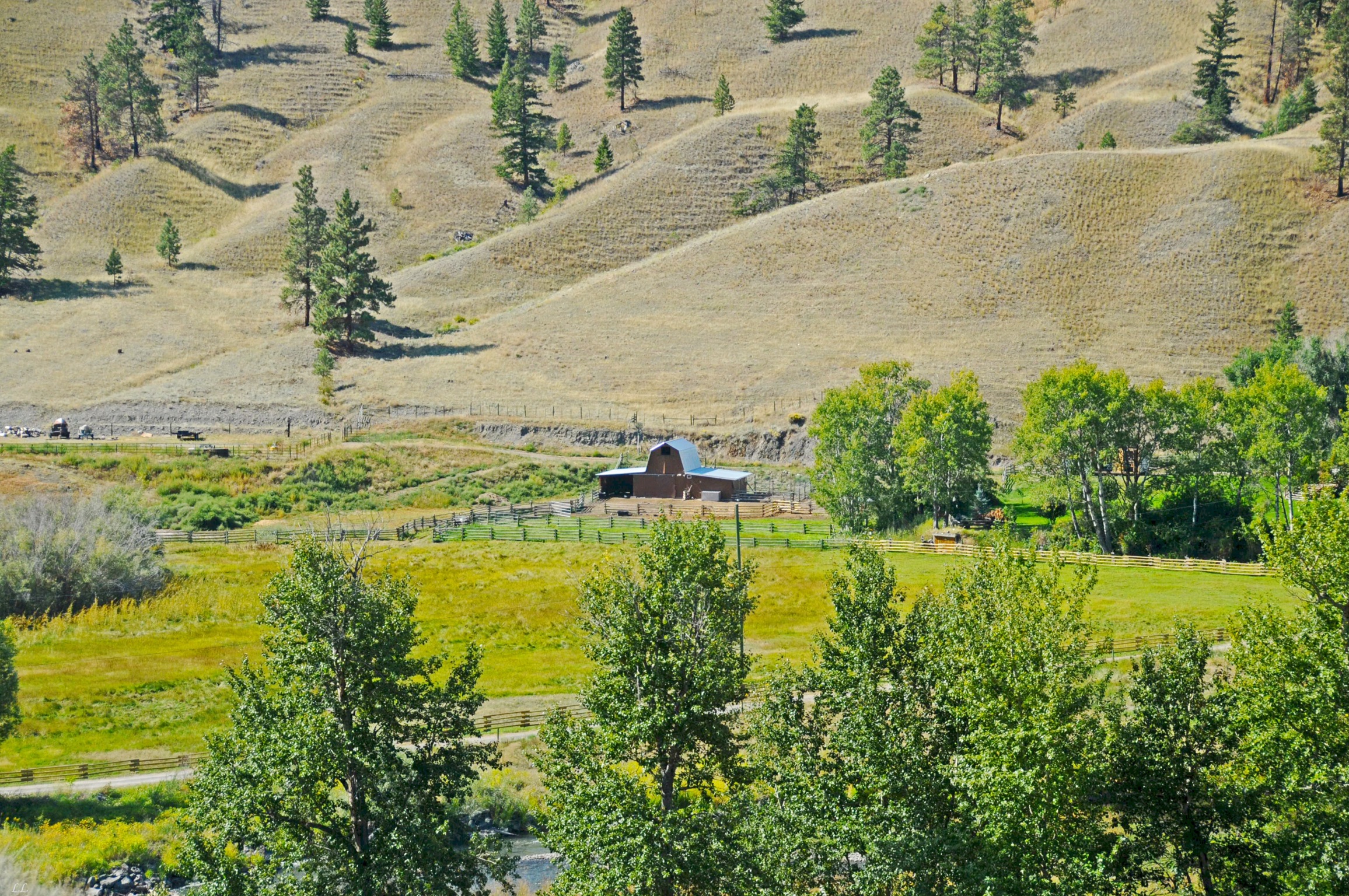
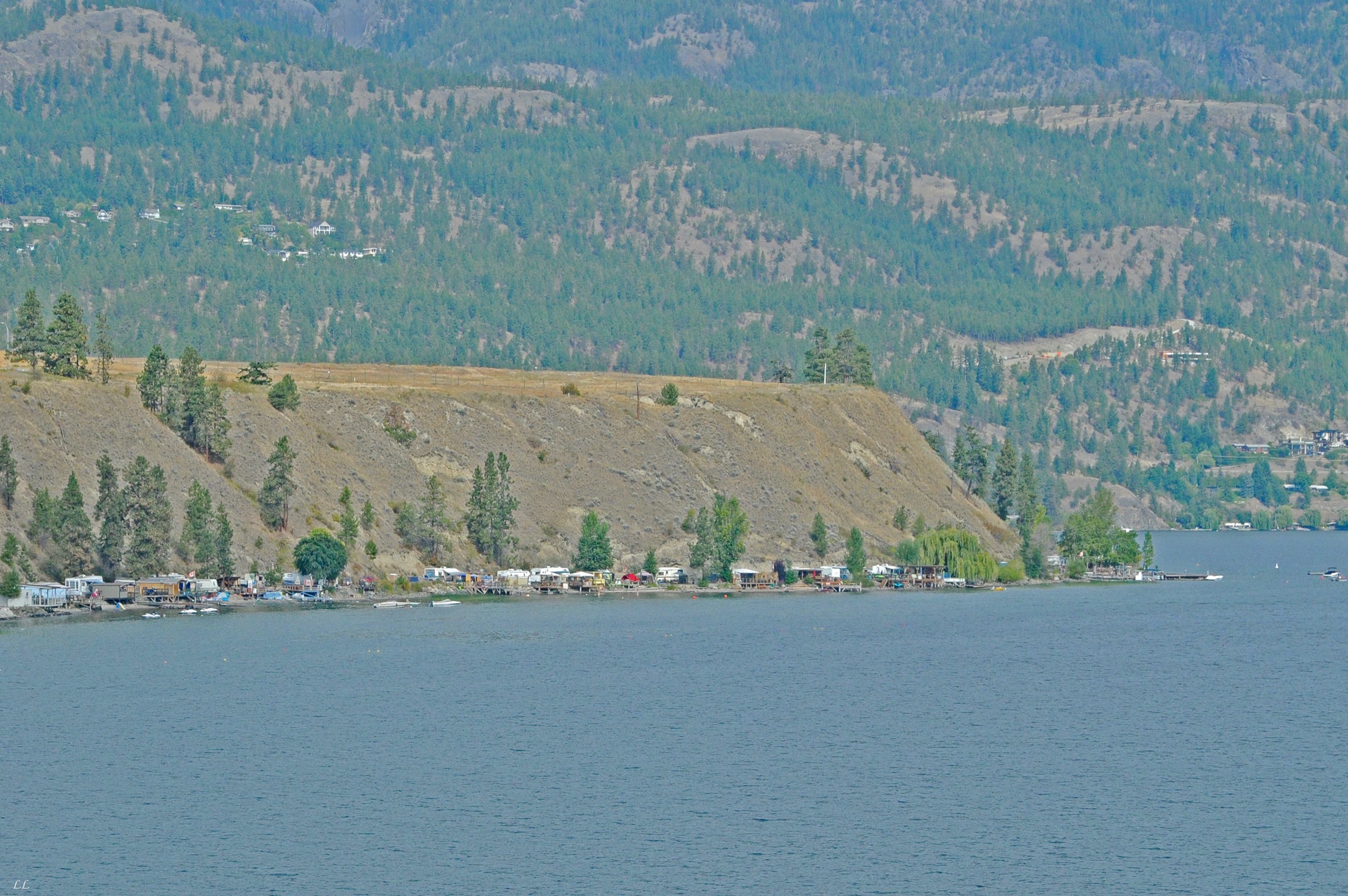
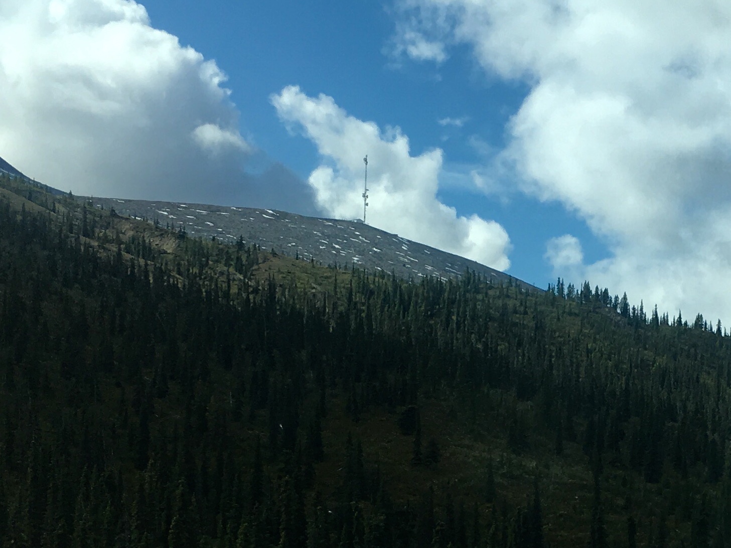
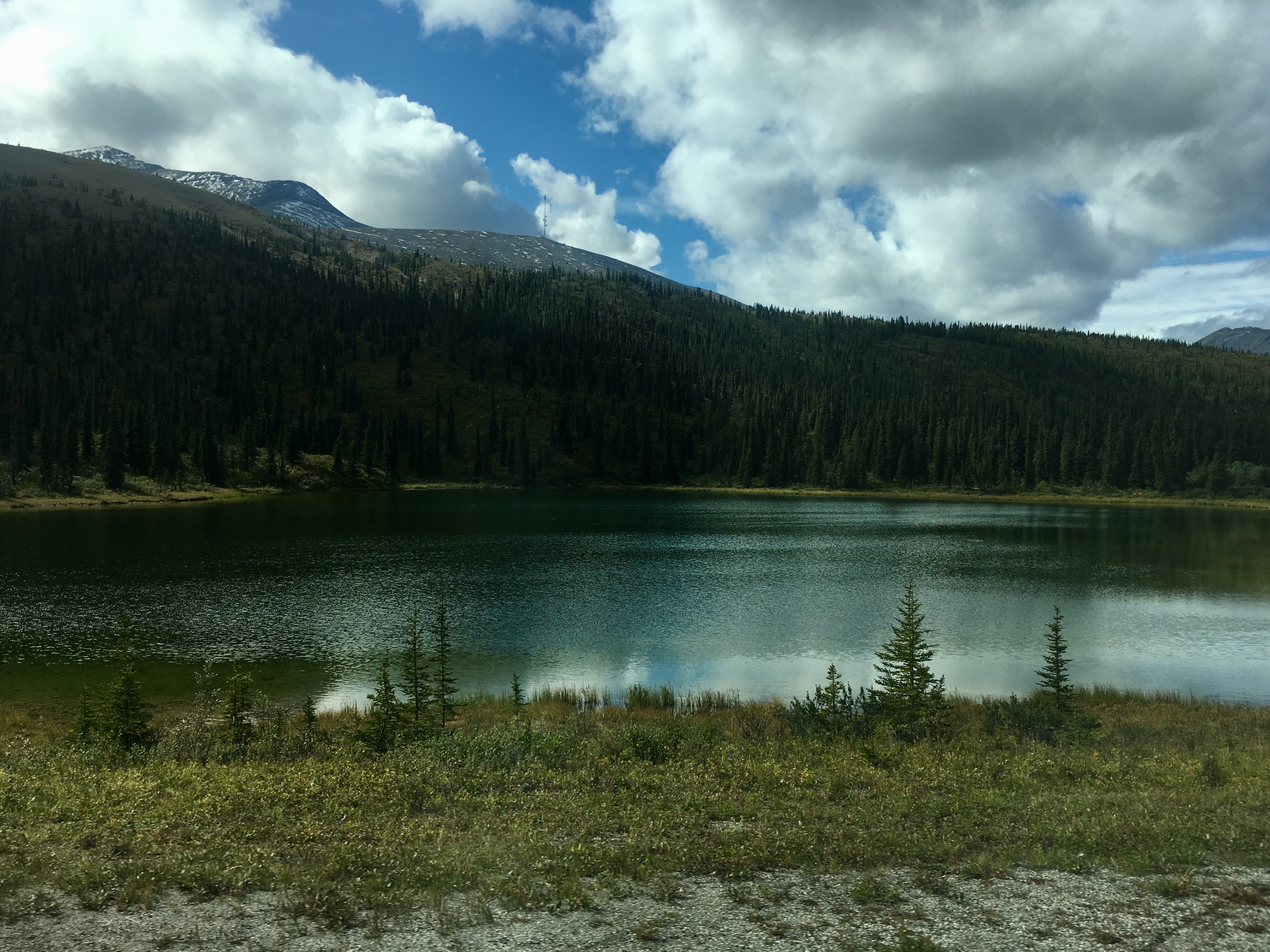
Interesting sights along the 2.
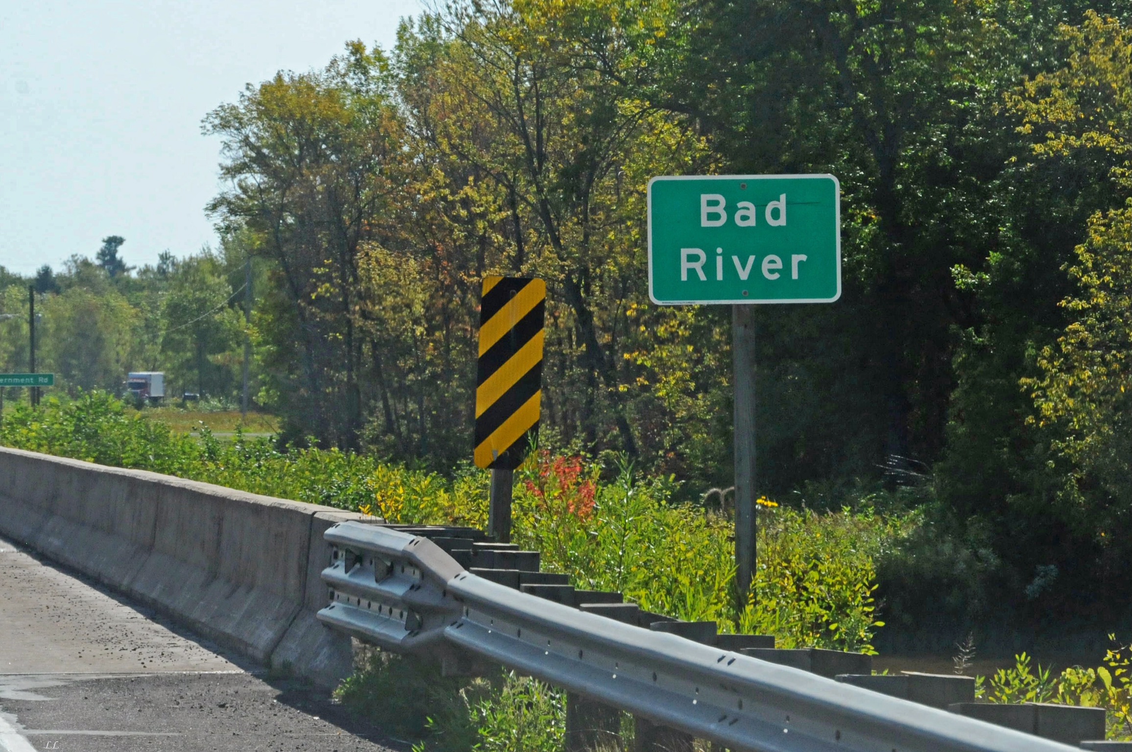
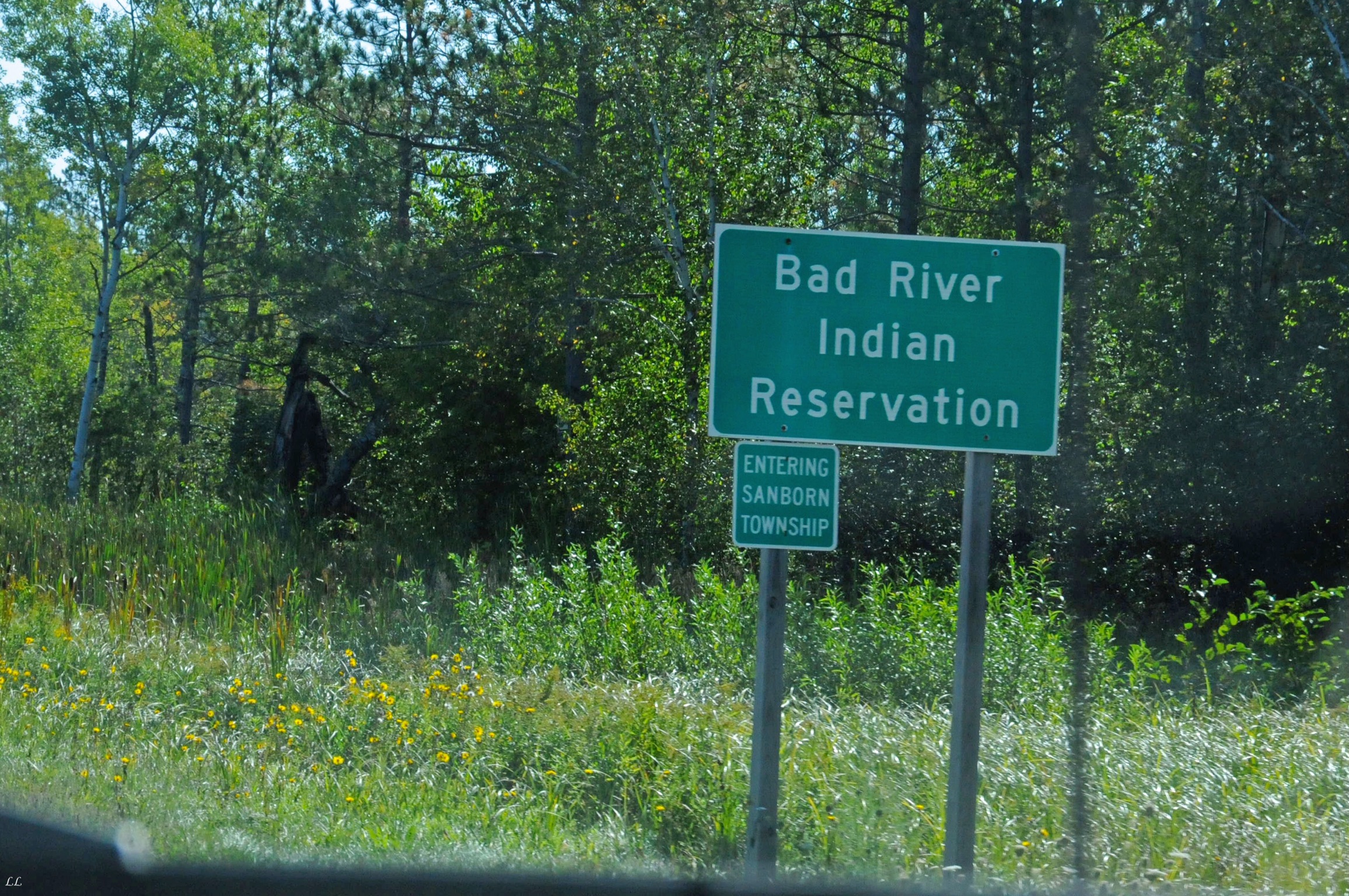
How to parse that name? Bad River? or River Indians that went bad? or is the reservation bad?

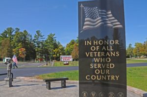
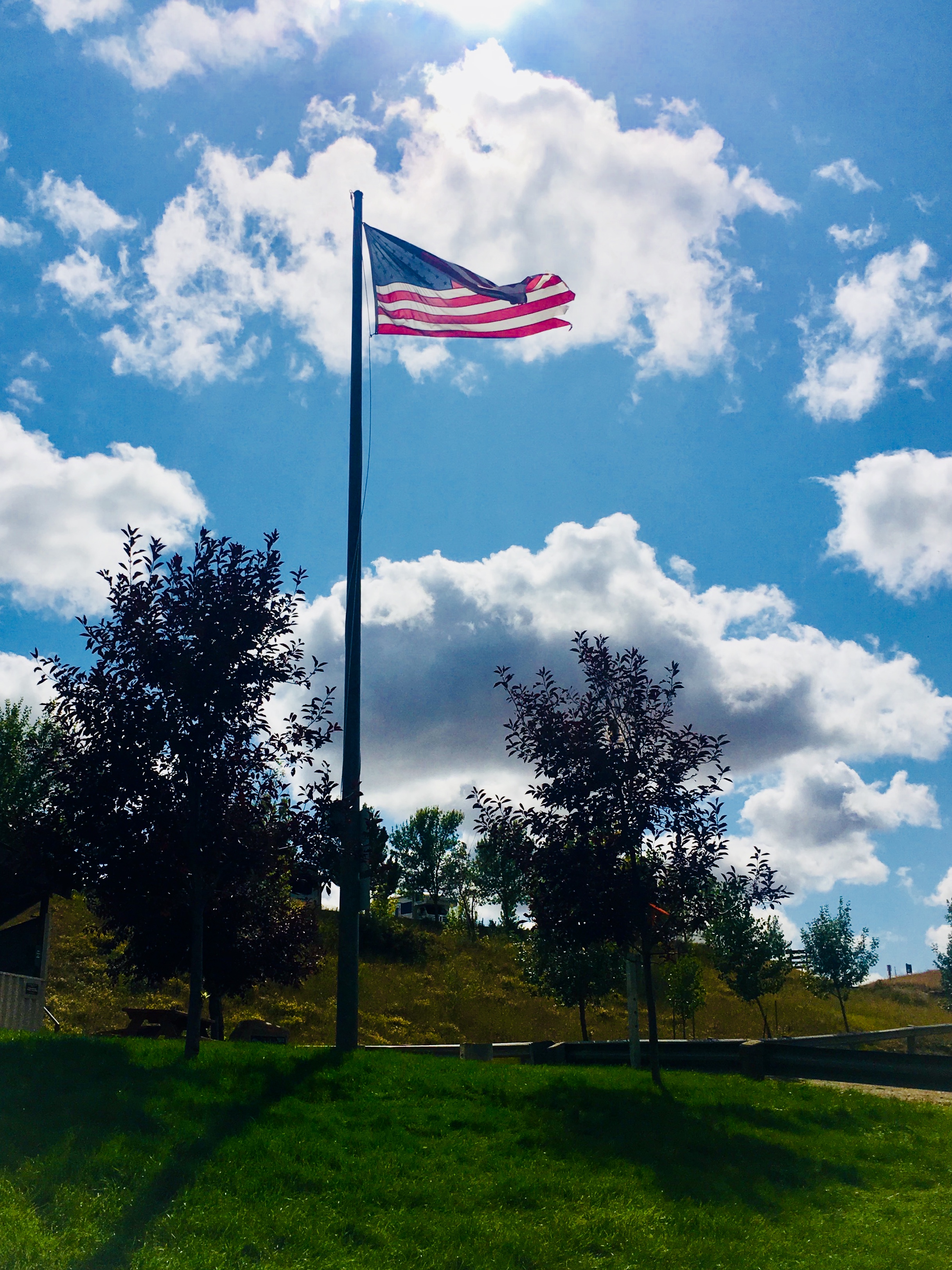
Lots of veterans memorials across the country. Good to be reminded!
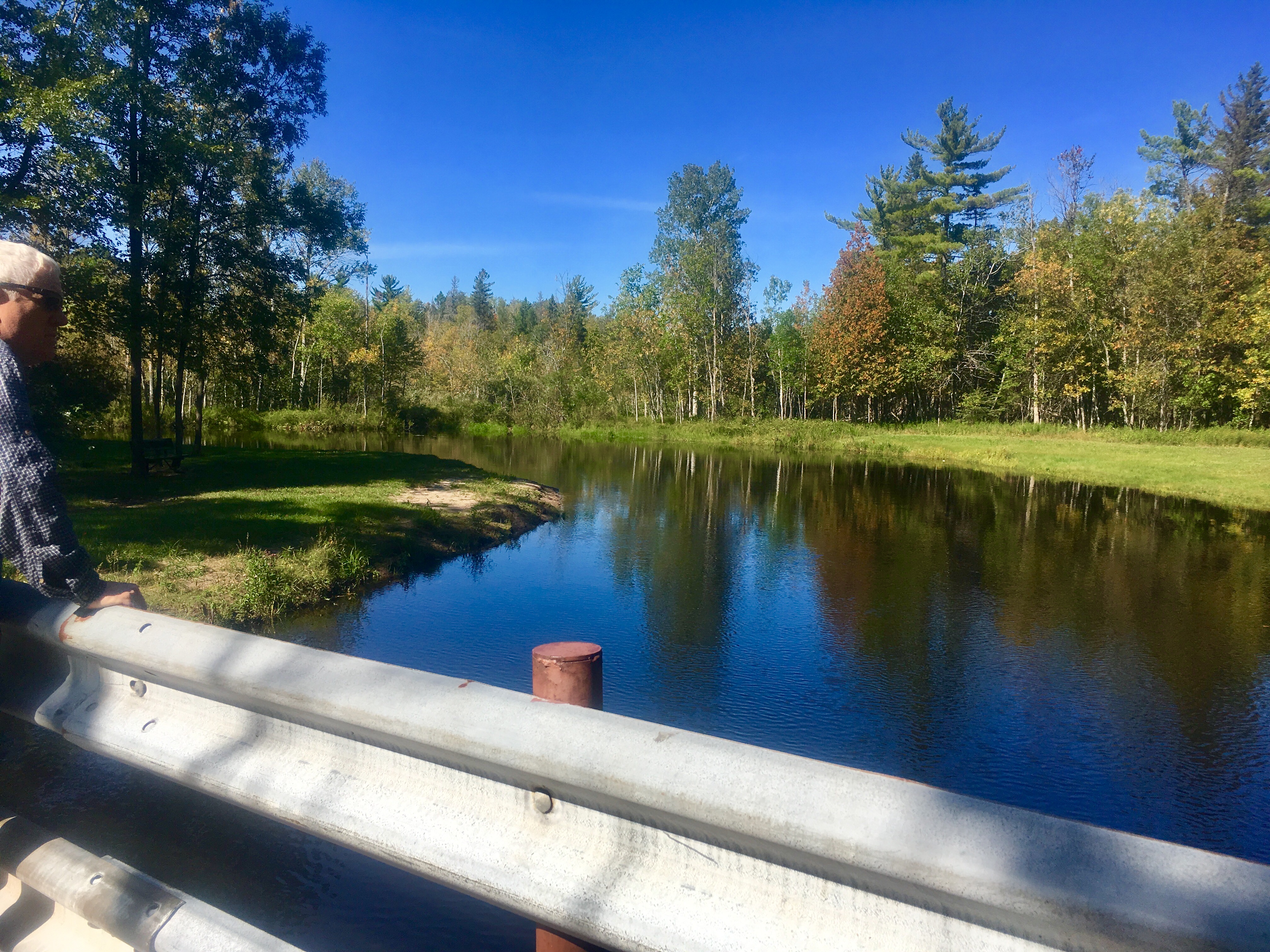
A small, and quite beautiful city campground. Some locals told us that almost no one camps there. No clue why. It was a great spot!

Good thing it’s not November yet…
But if not…
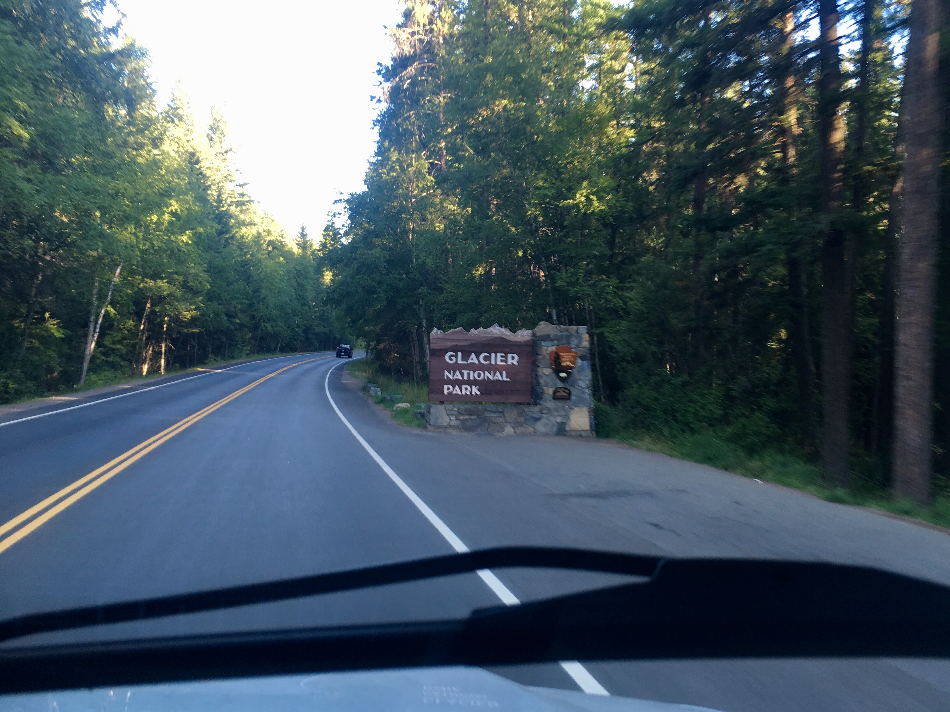
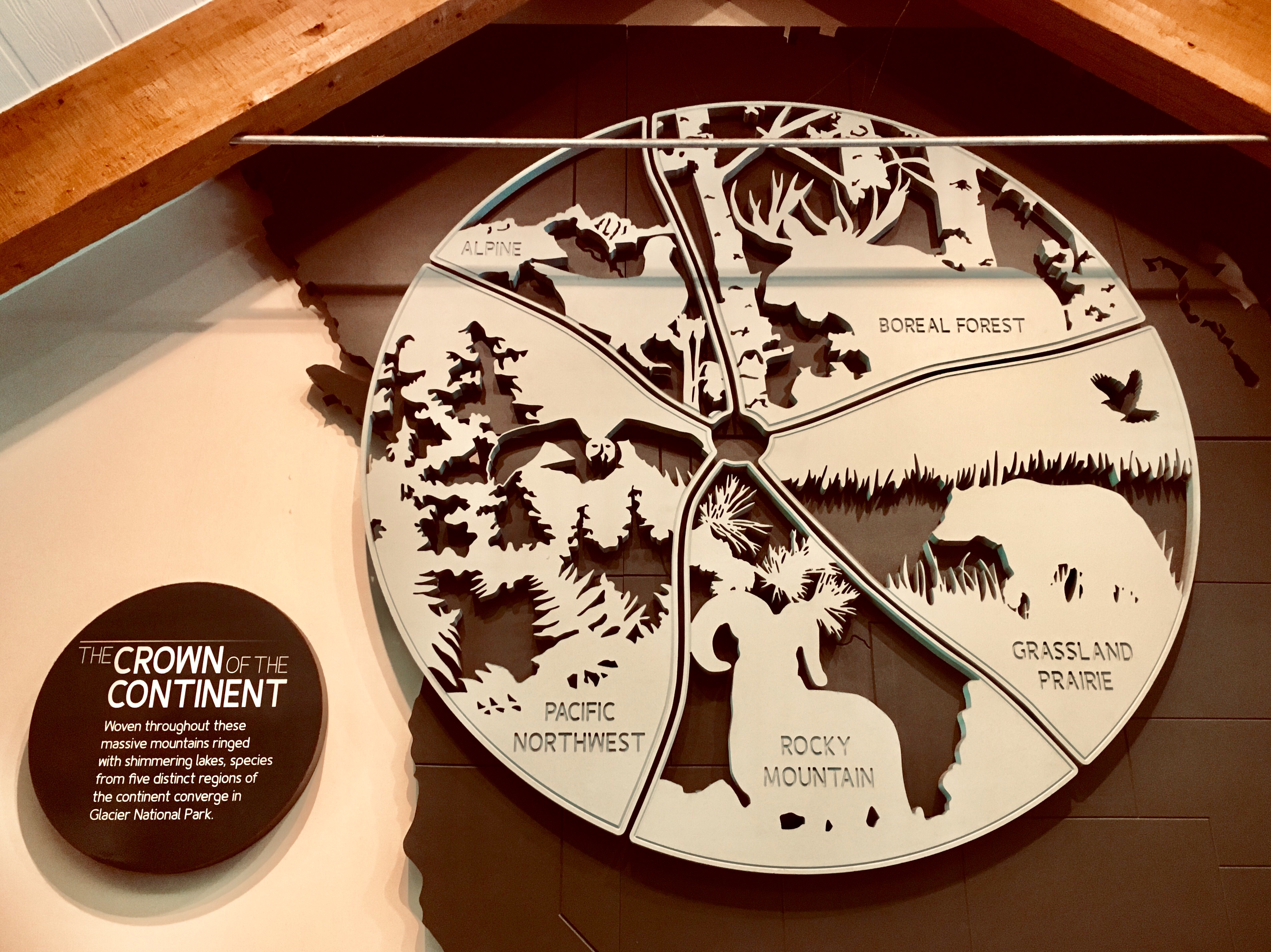
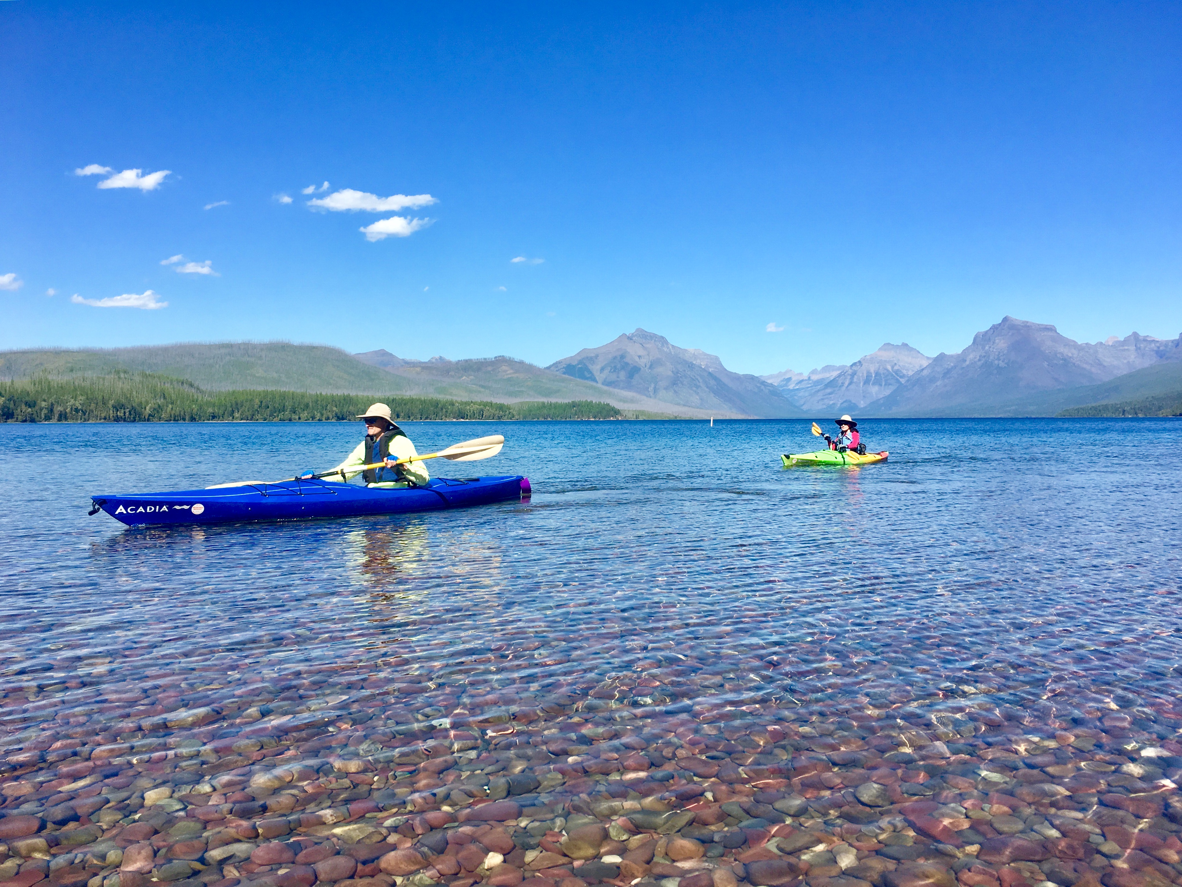
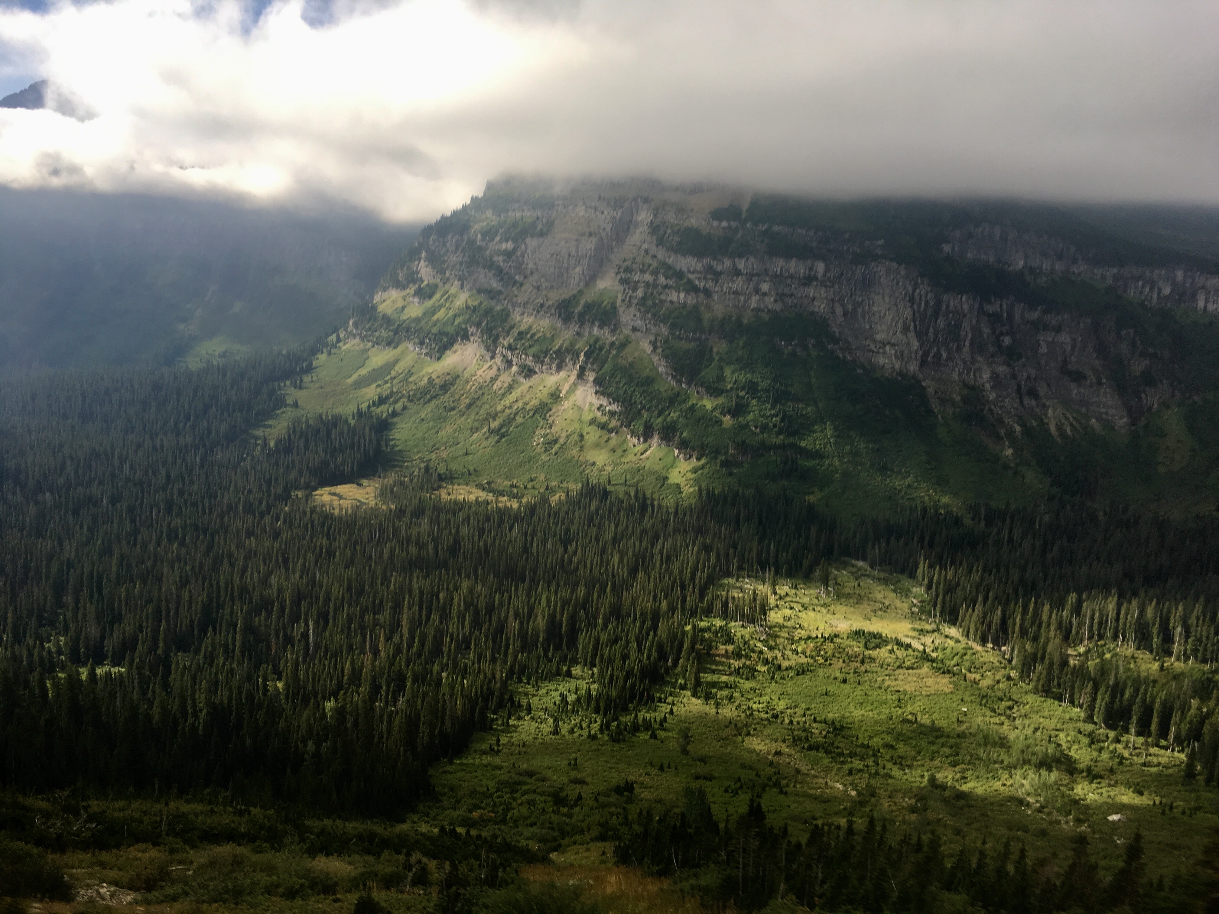
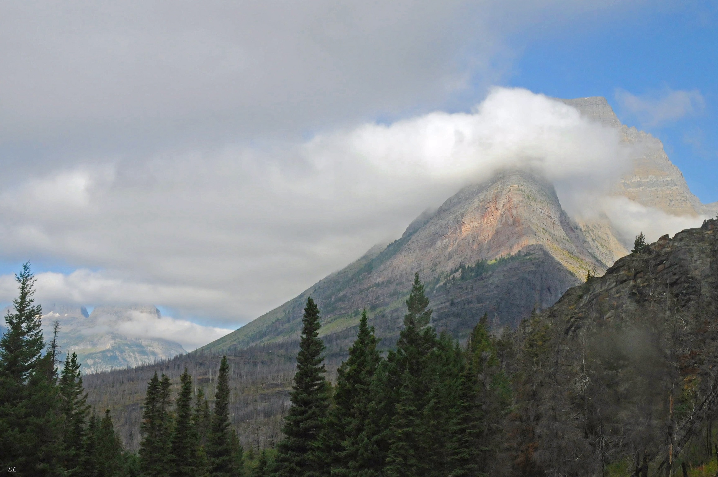
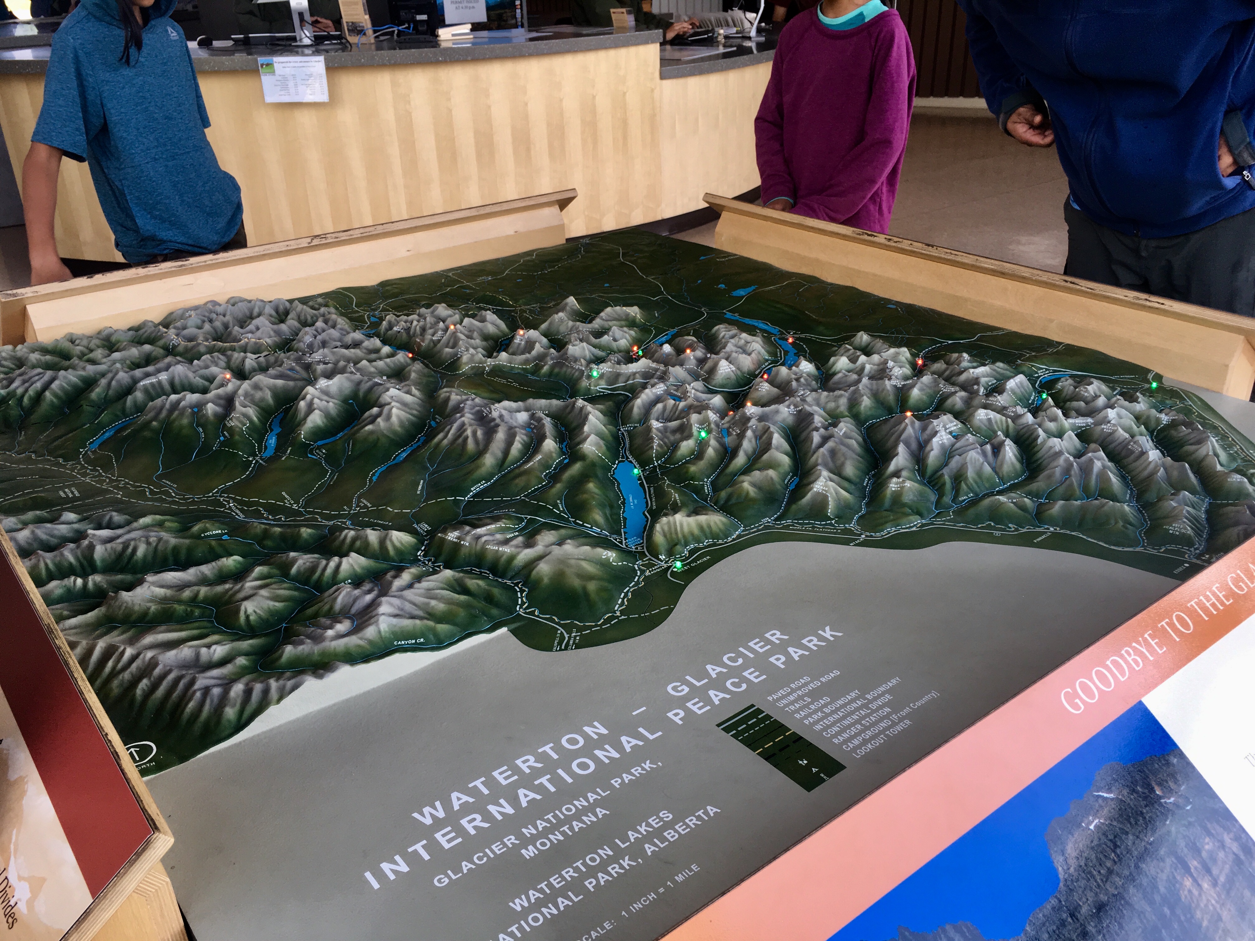
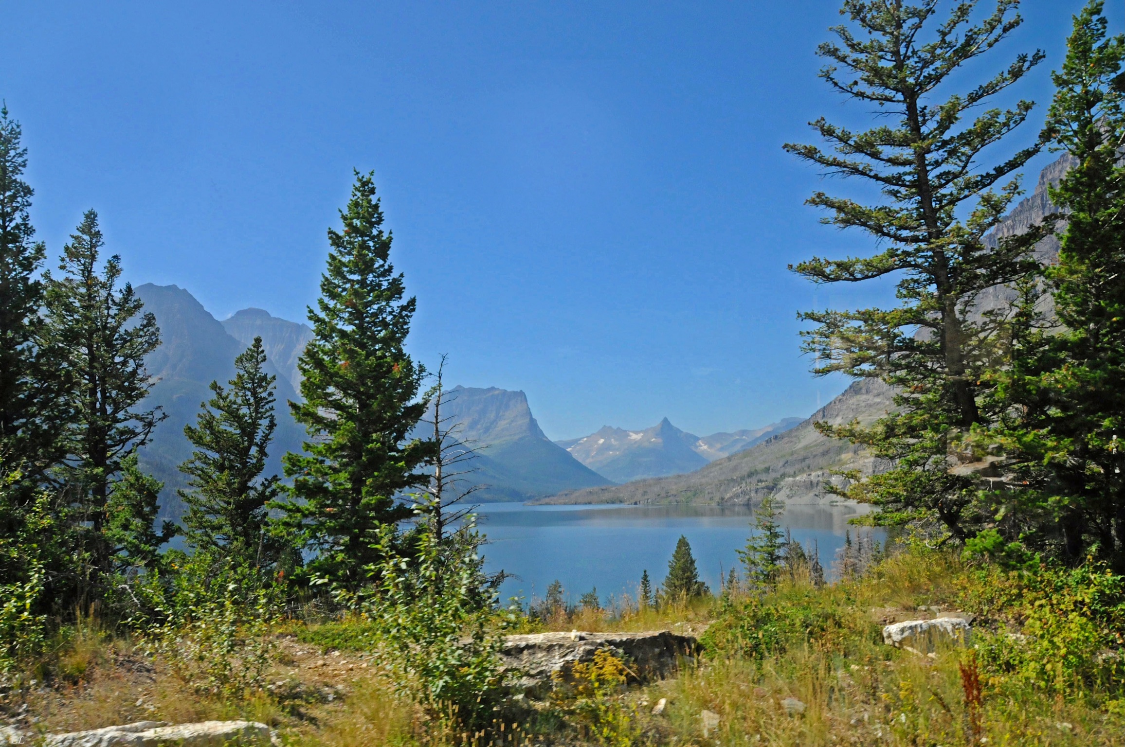
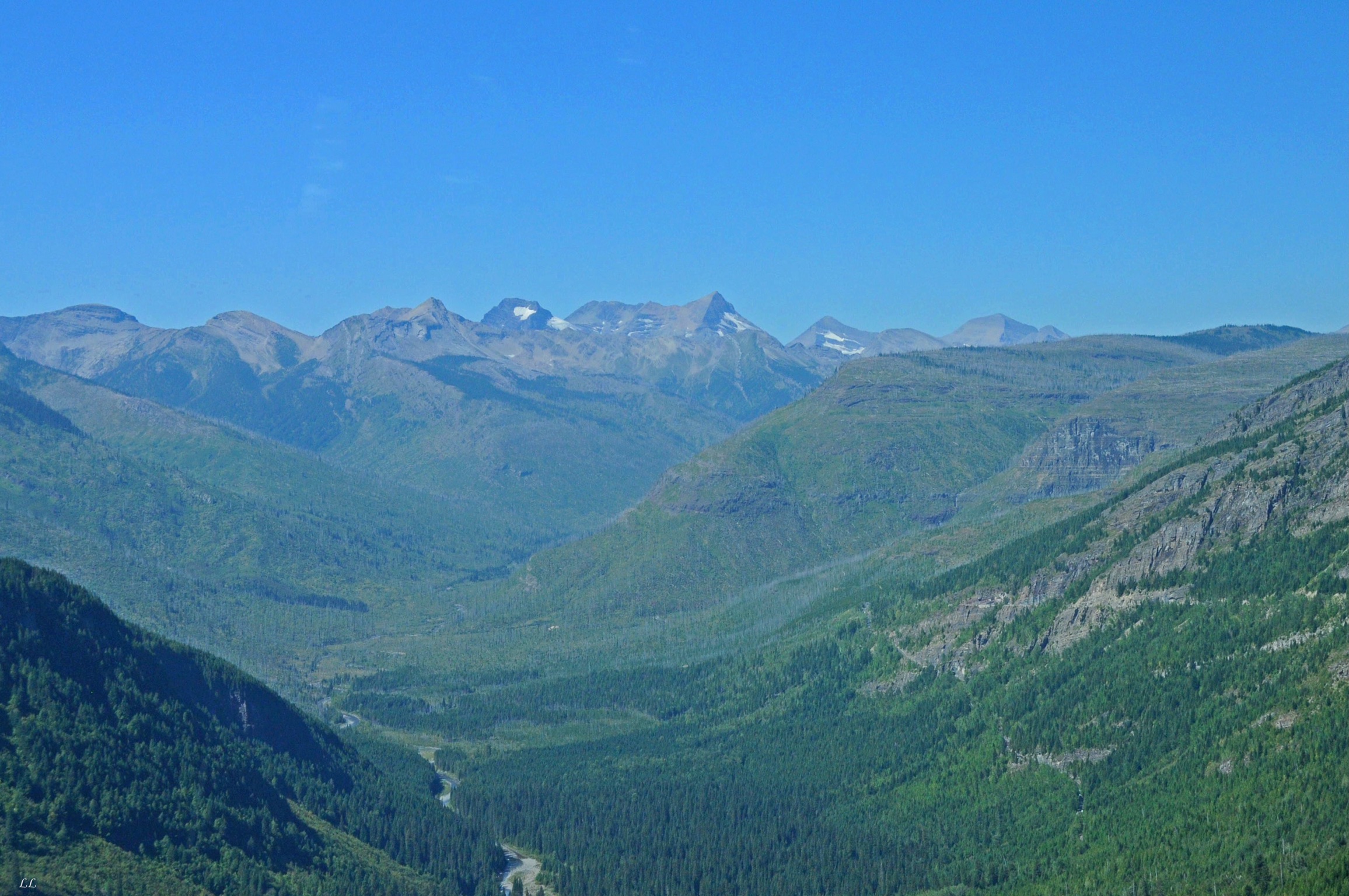
One of our goals on the return trip was to stop in Glacier National park. We heard mixed advice about when to go since the park closes sometime in September. The good thing is that the campgrounds are mostly first come first served with only a few sites set aside for reservations. Given our lack of a schedule, that was a good thing.
Then we met a family at Curlew Lake that was enroute to Glacier for their vacation. Since they had done lots of research, we were able to piggyback on what they learned.
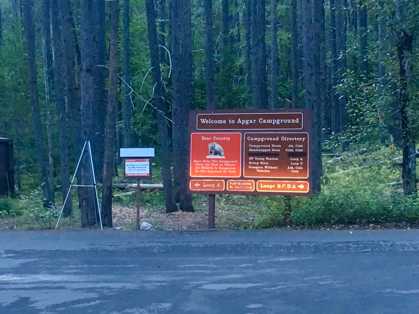
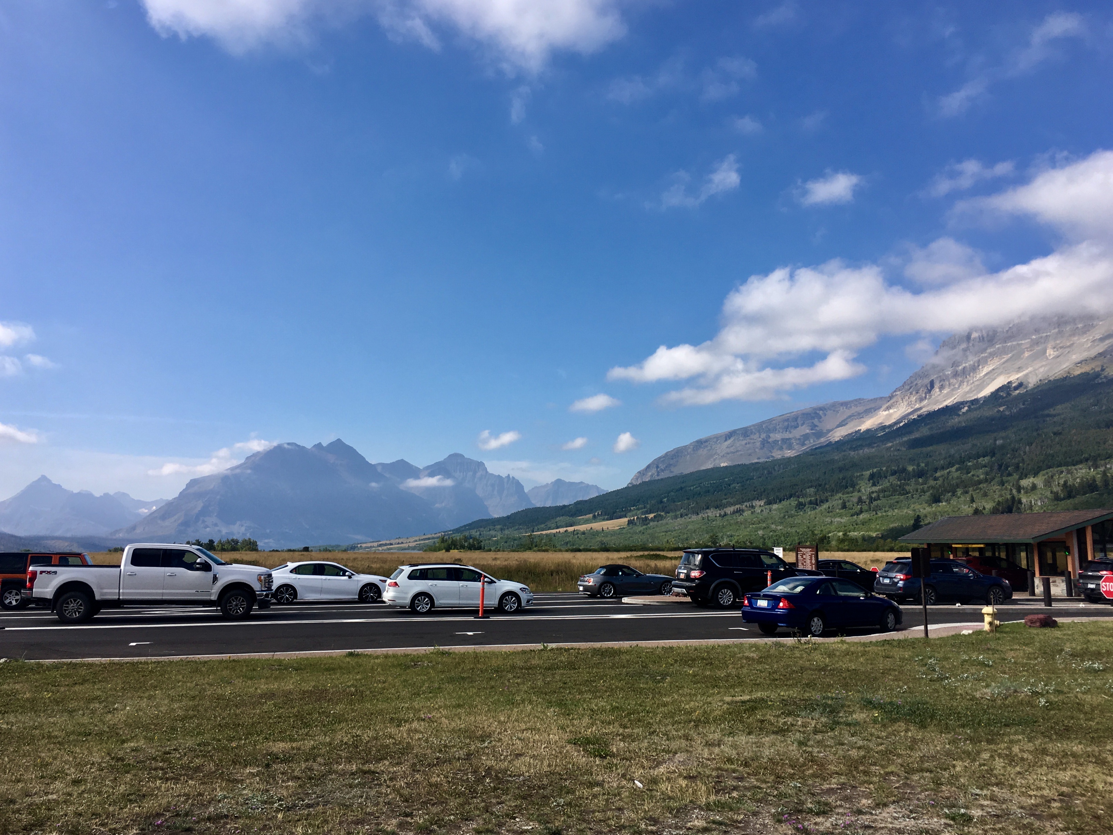
The key lesson was to spend the night before arriving somewhere close to the park so that we could arrive at Apgar campground on the west side of the park fairly early in the morning. Sites tend to fill up by late morning or, at the latest, early afternoon. We found that to be true throughout the time we were there, even as late in the season as we were.
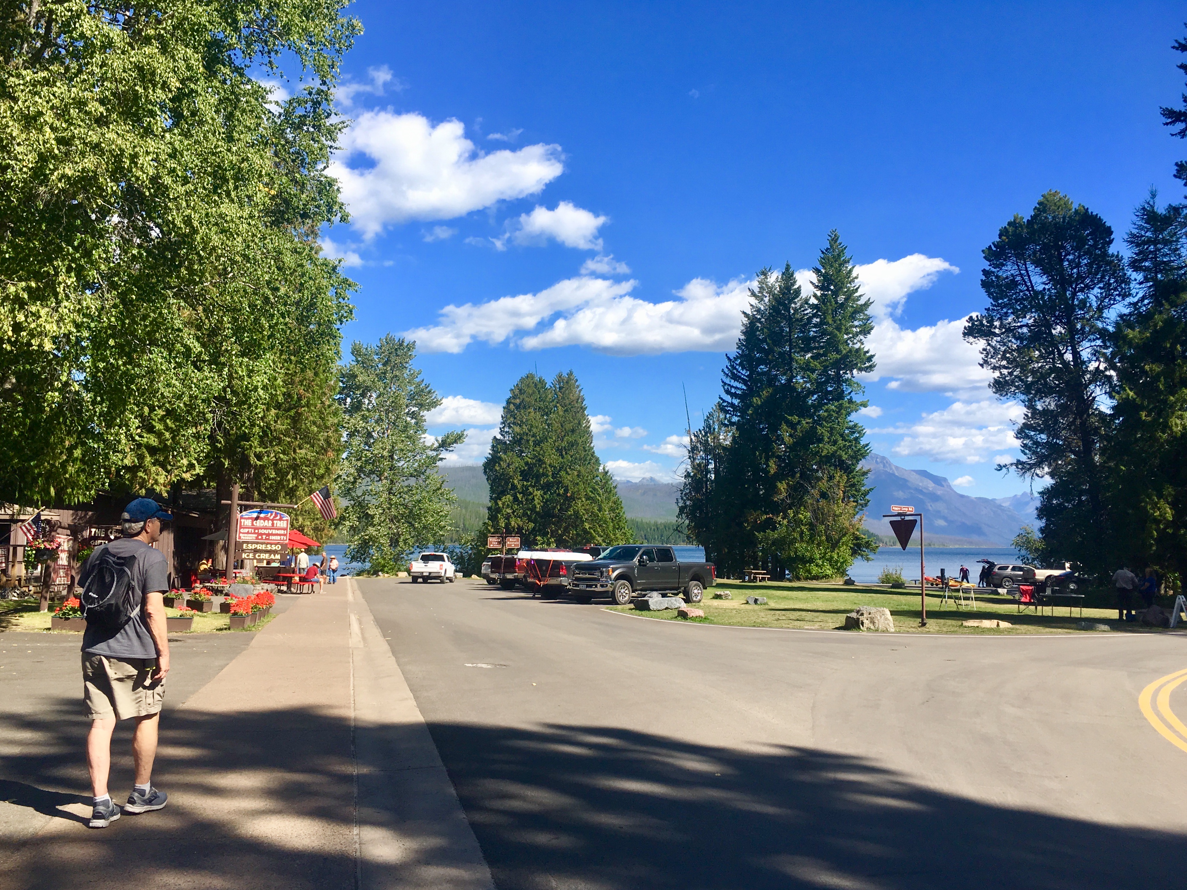
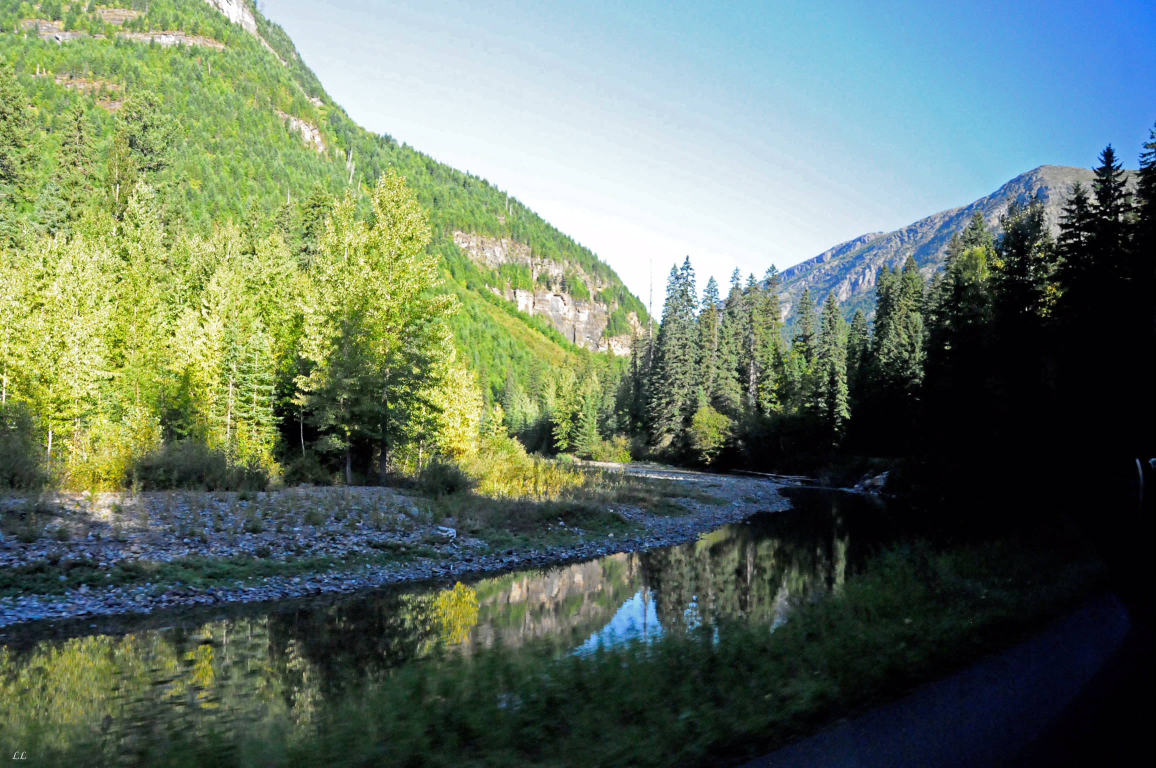
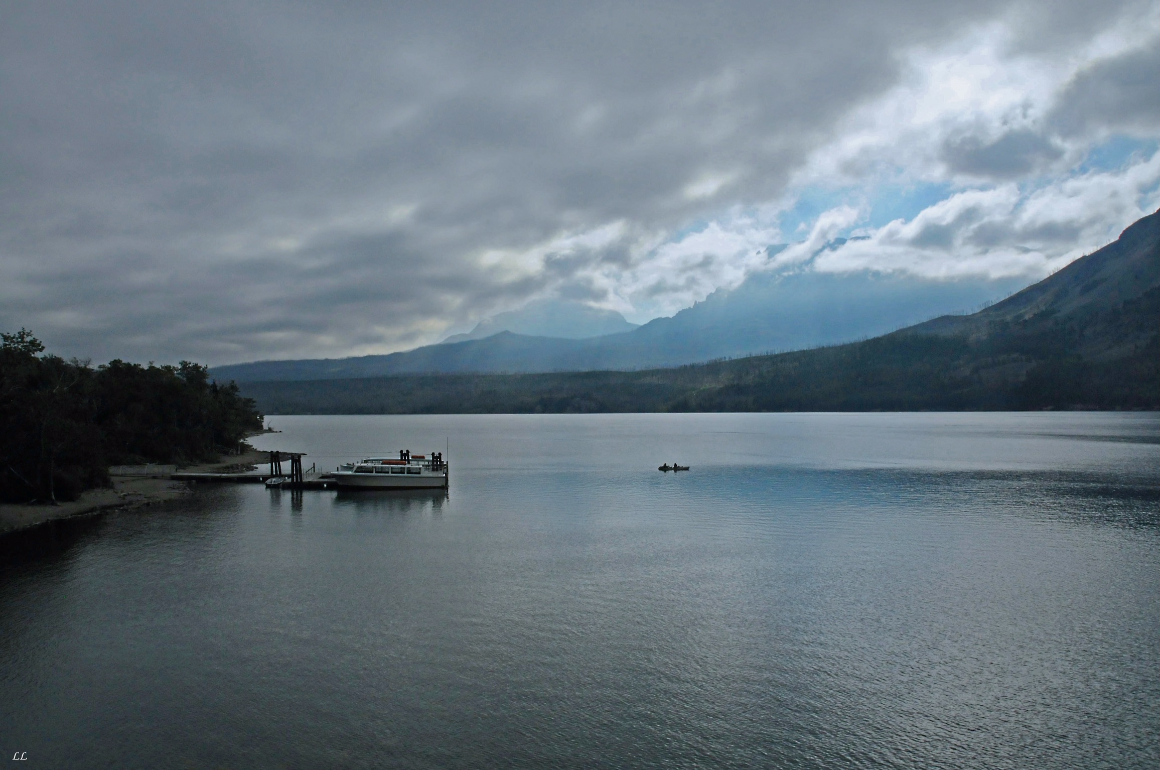
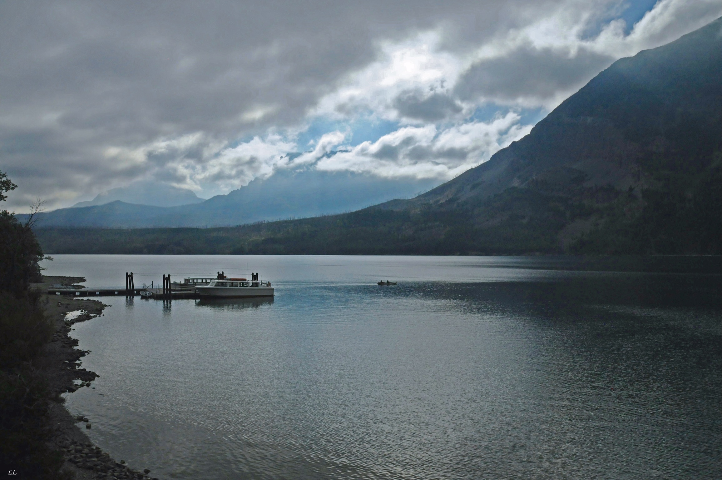
Apgar, our first campground, on the west side of the park and on one end of the “Road to the Sun.”
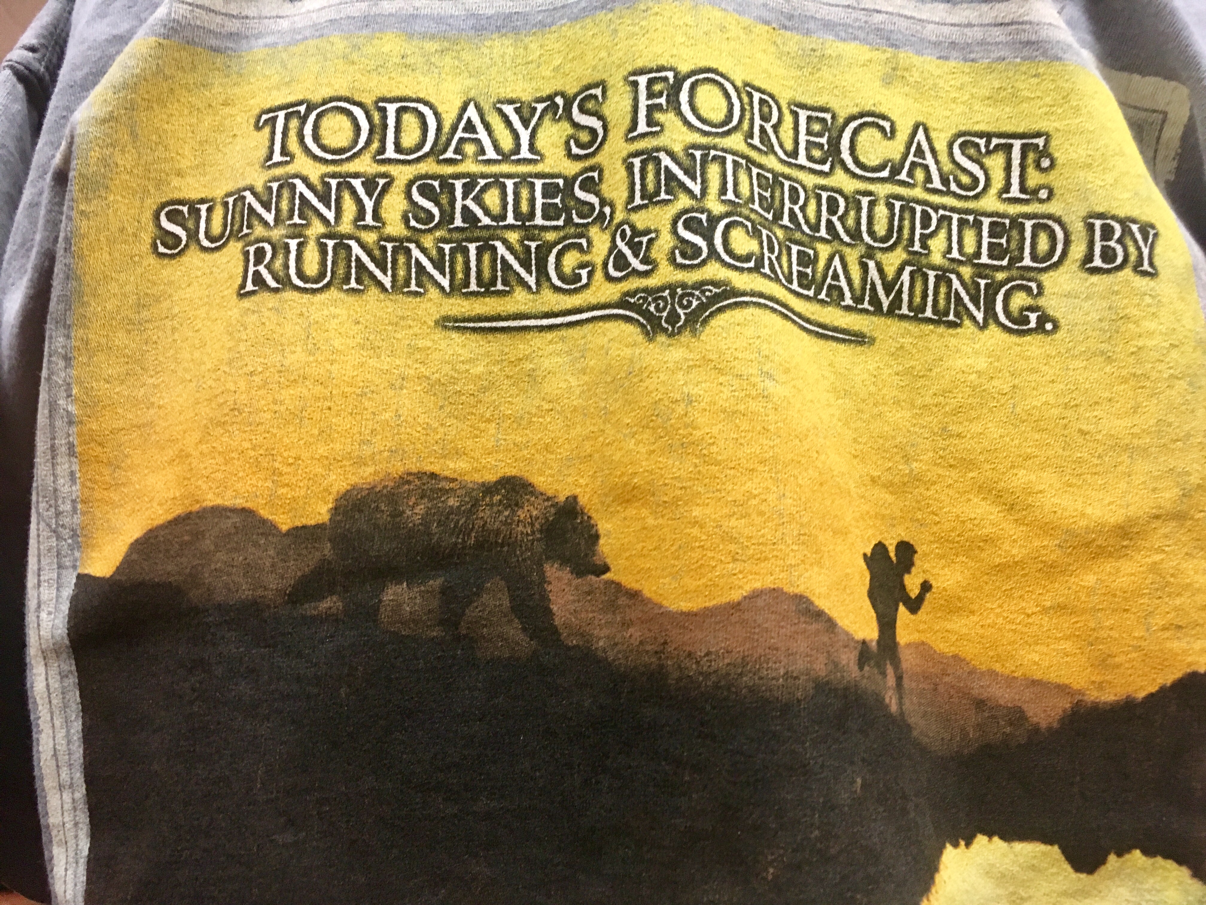
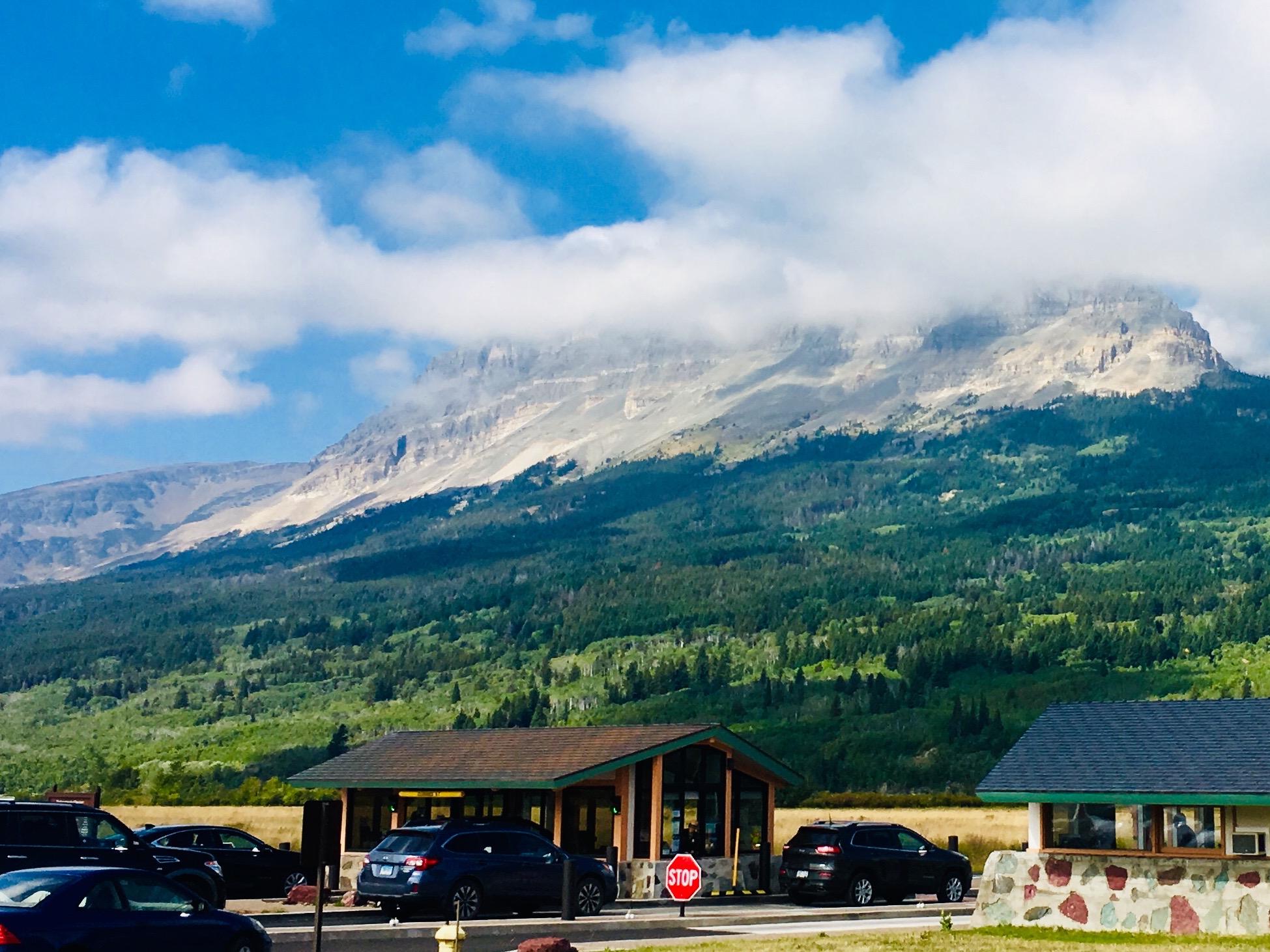
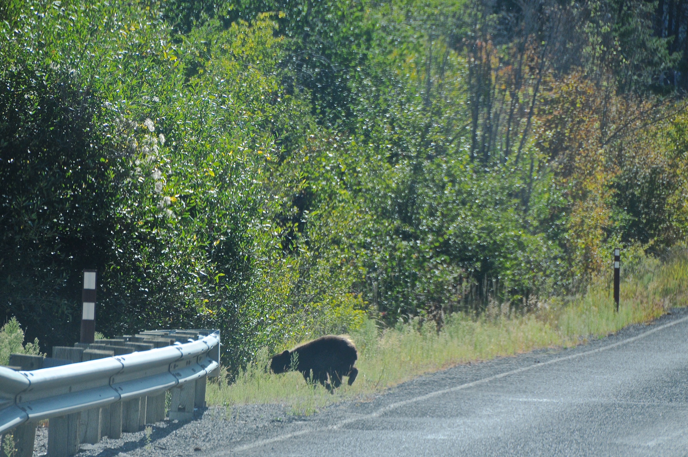
Glacier is definitely in bear country, although all the significant bear activity seemed to be on the east side of the park. Those campgrounds were ‘hard side’ only with no tents allowed due to some aggressive bears. There had been no recent reports of any issues on the west side where we were.
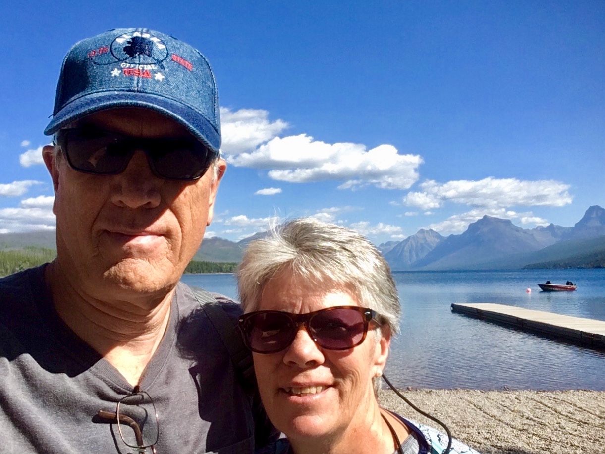
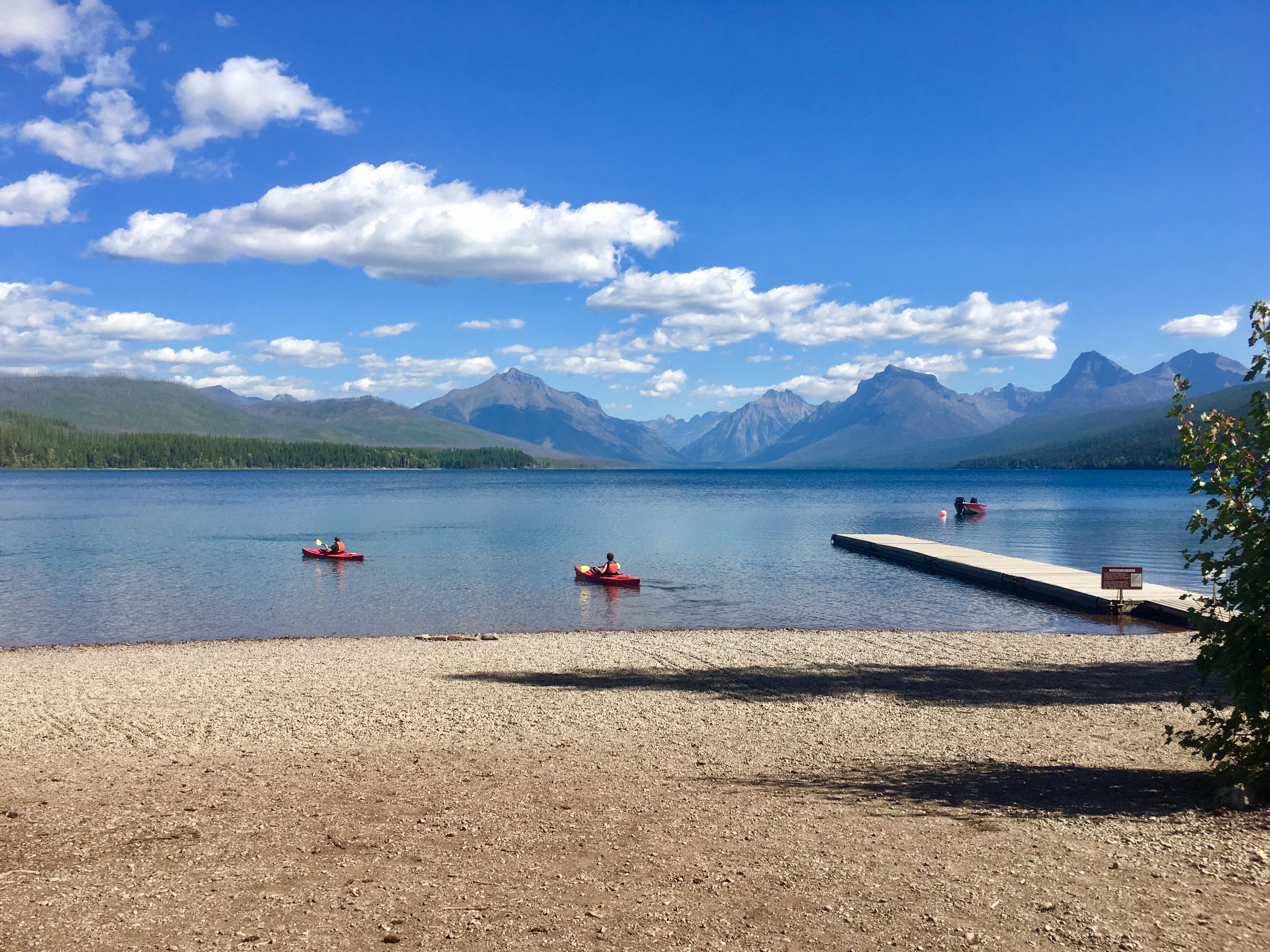
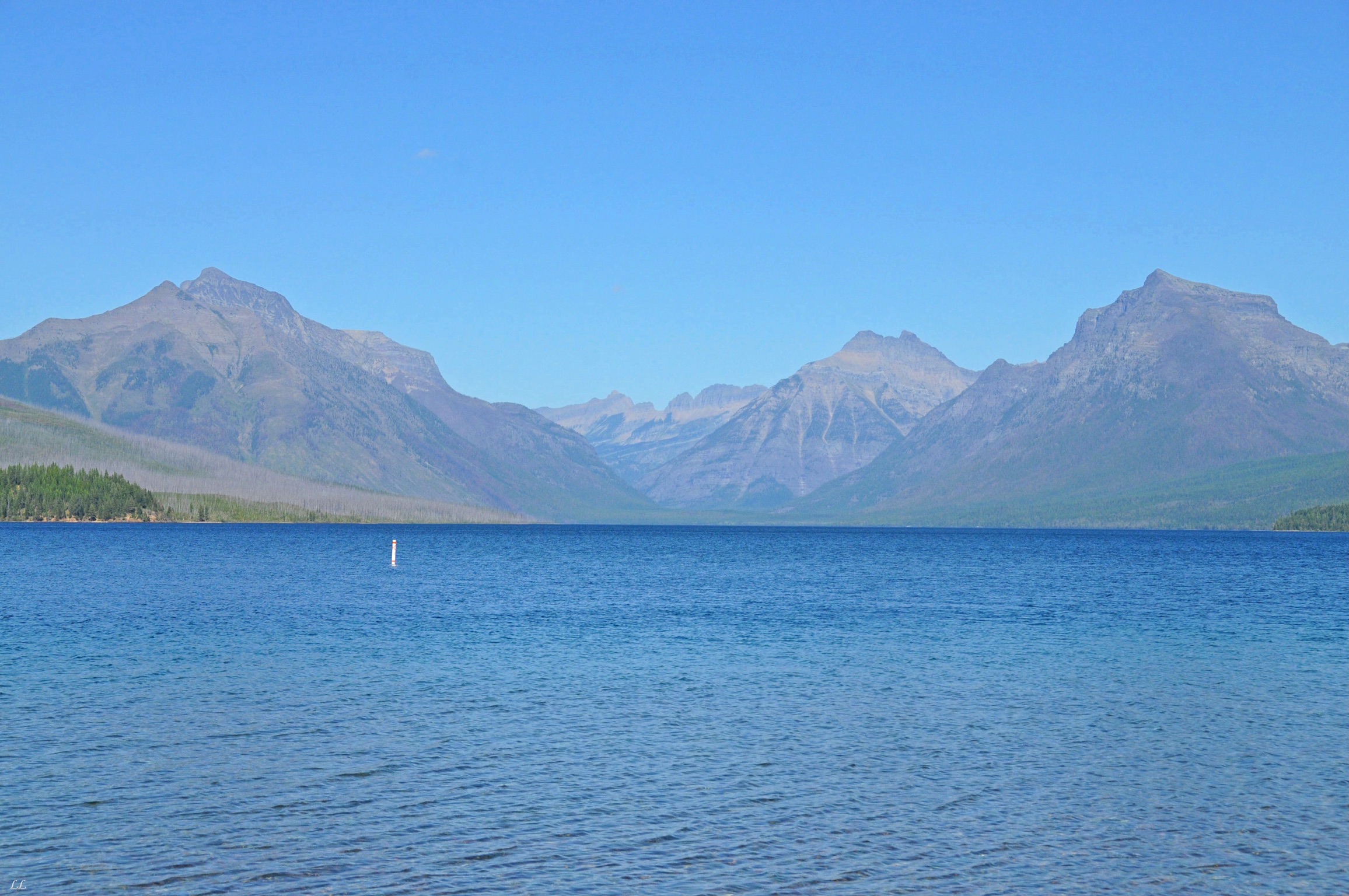
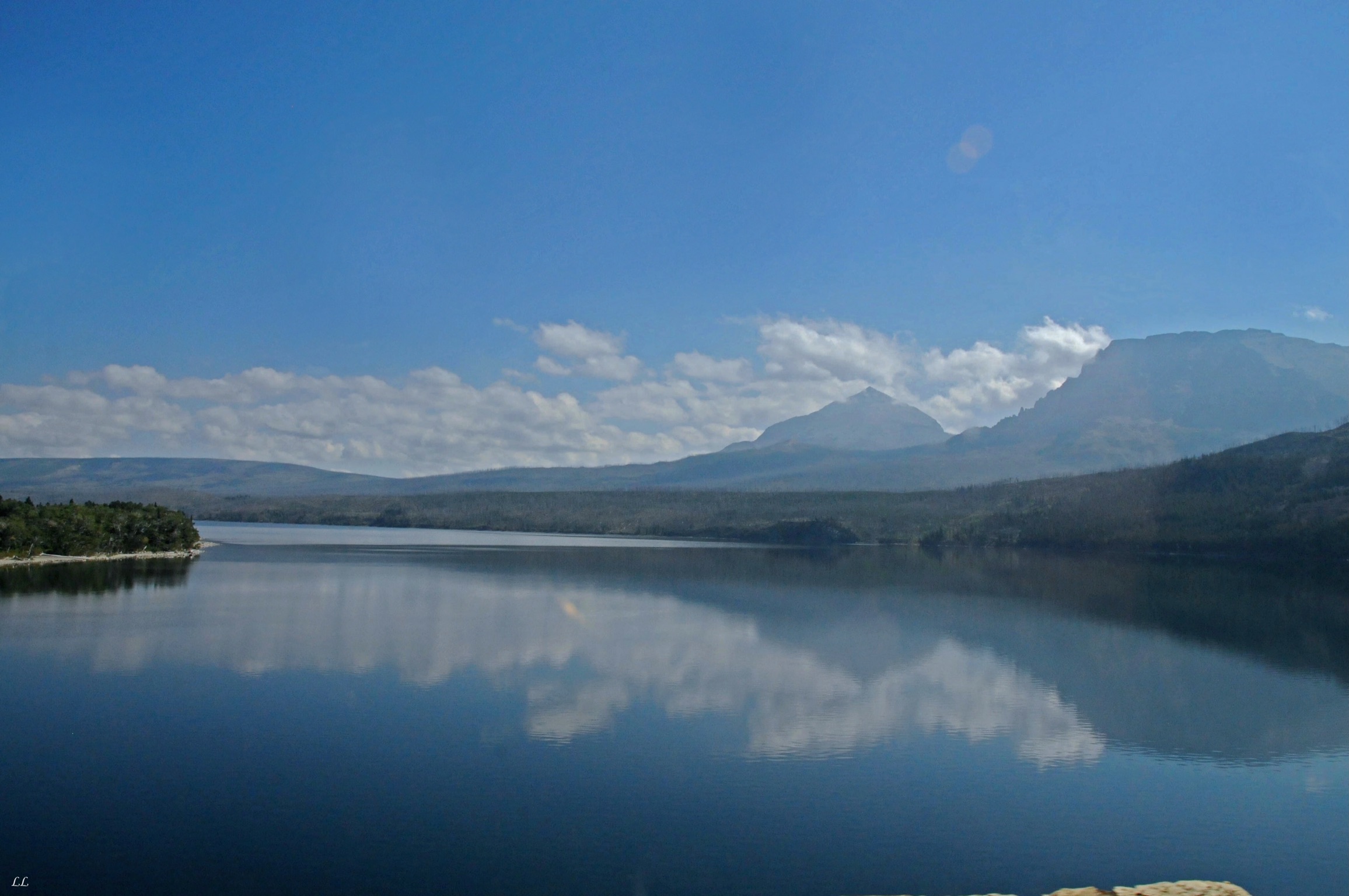
The lake near the campground was beautiful!

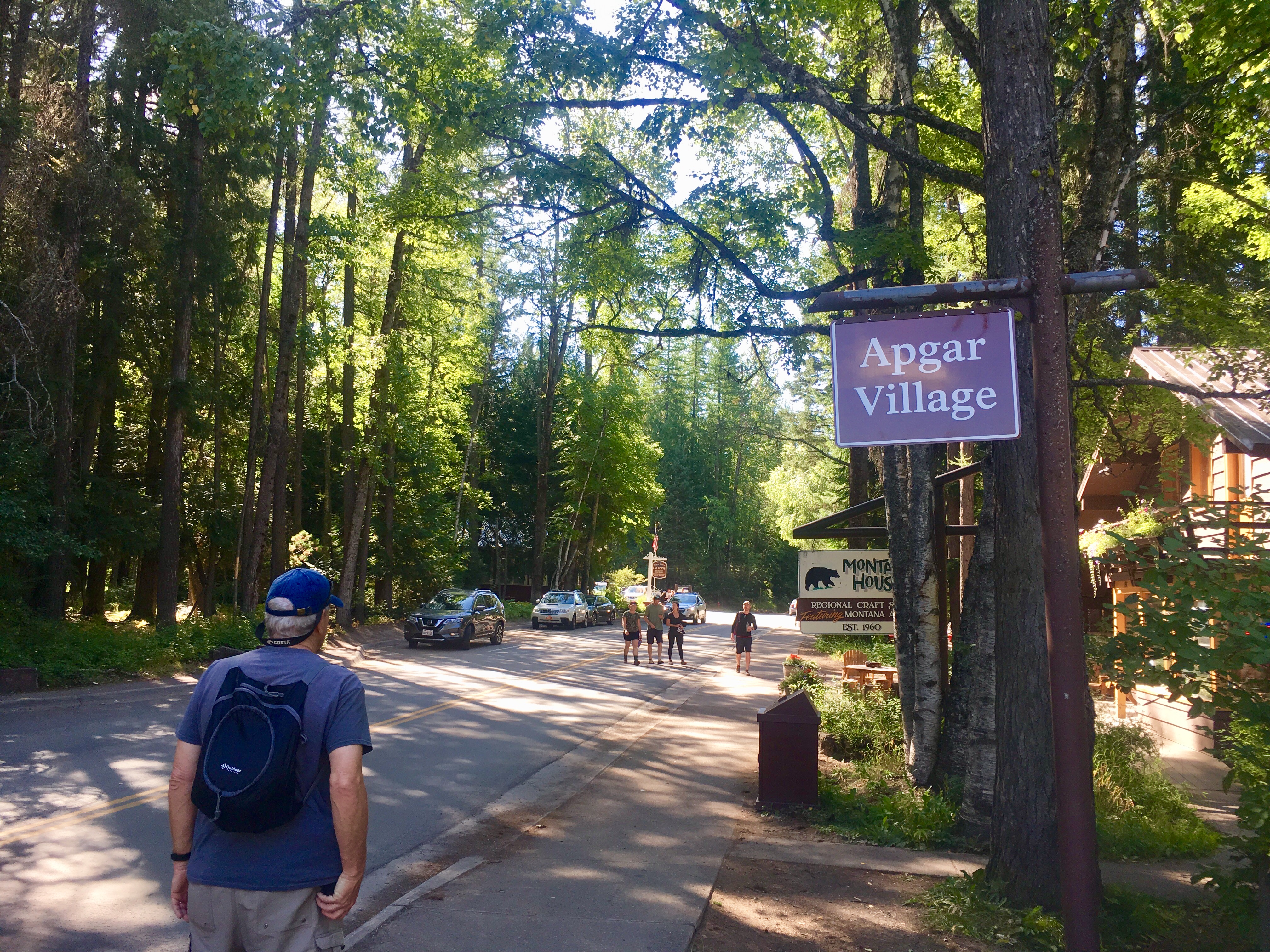
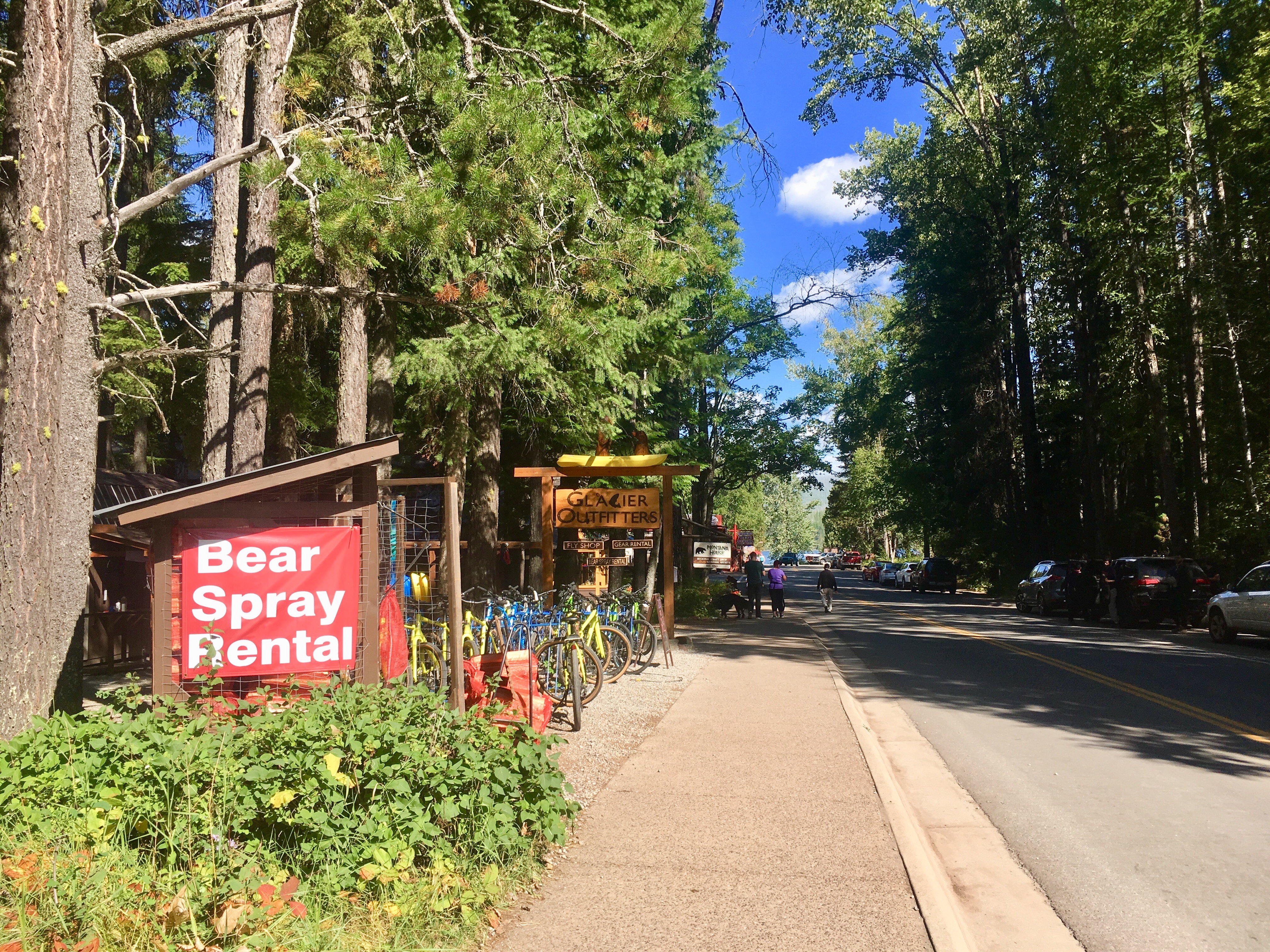
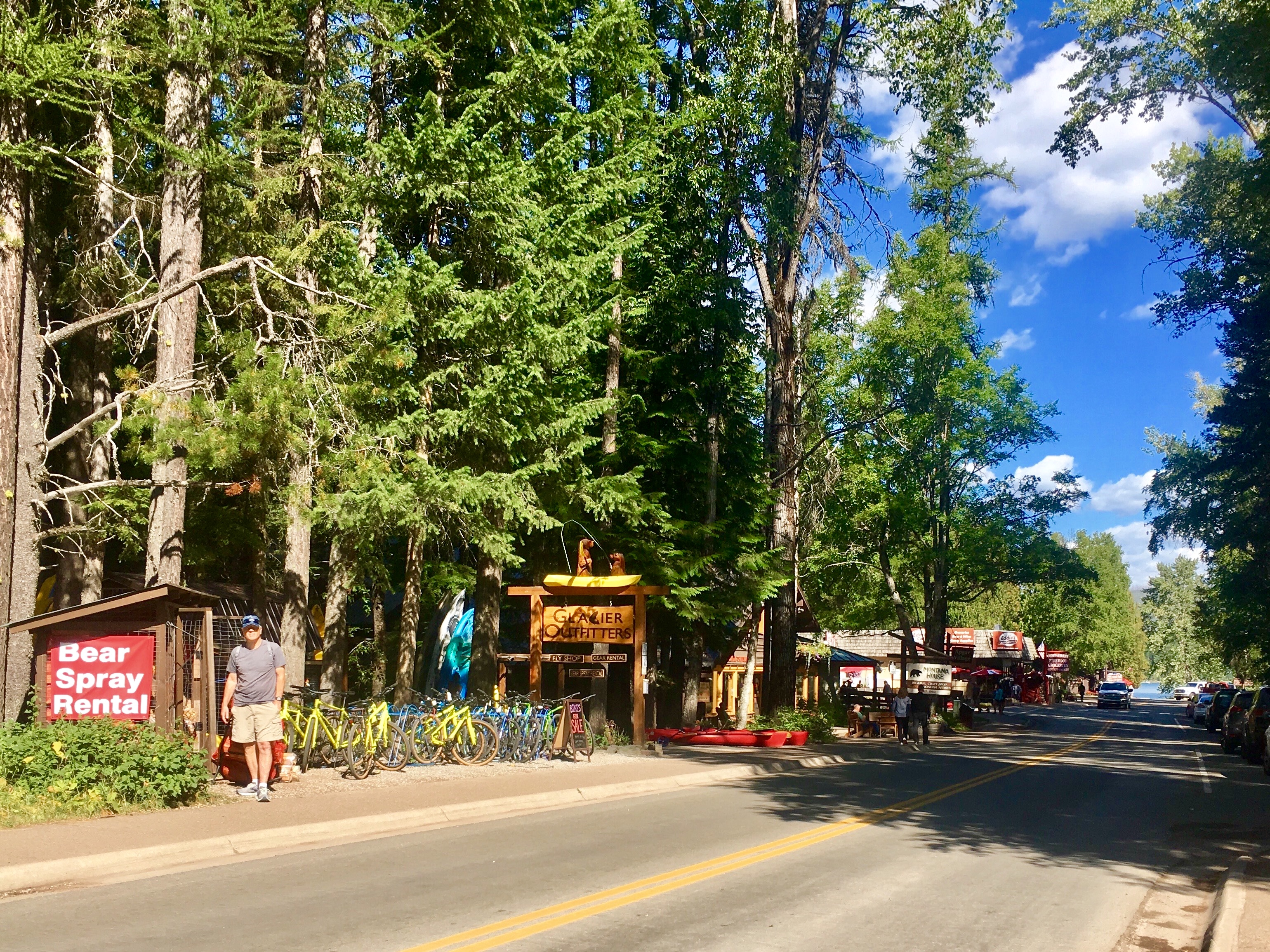
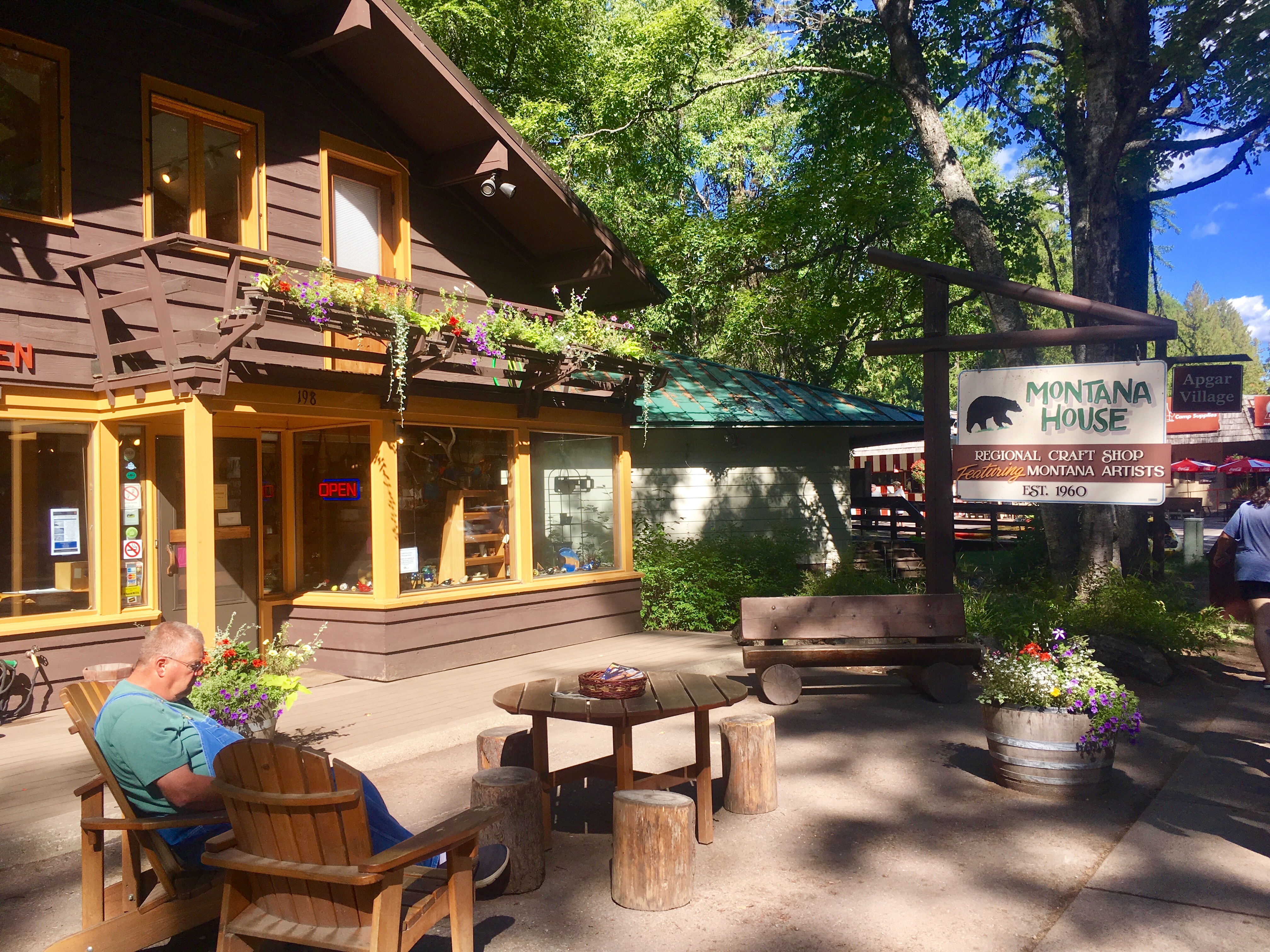
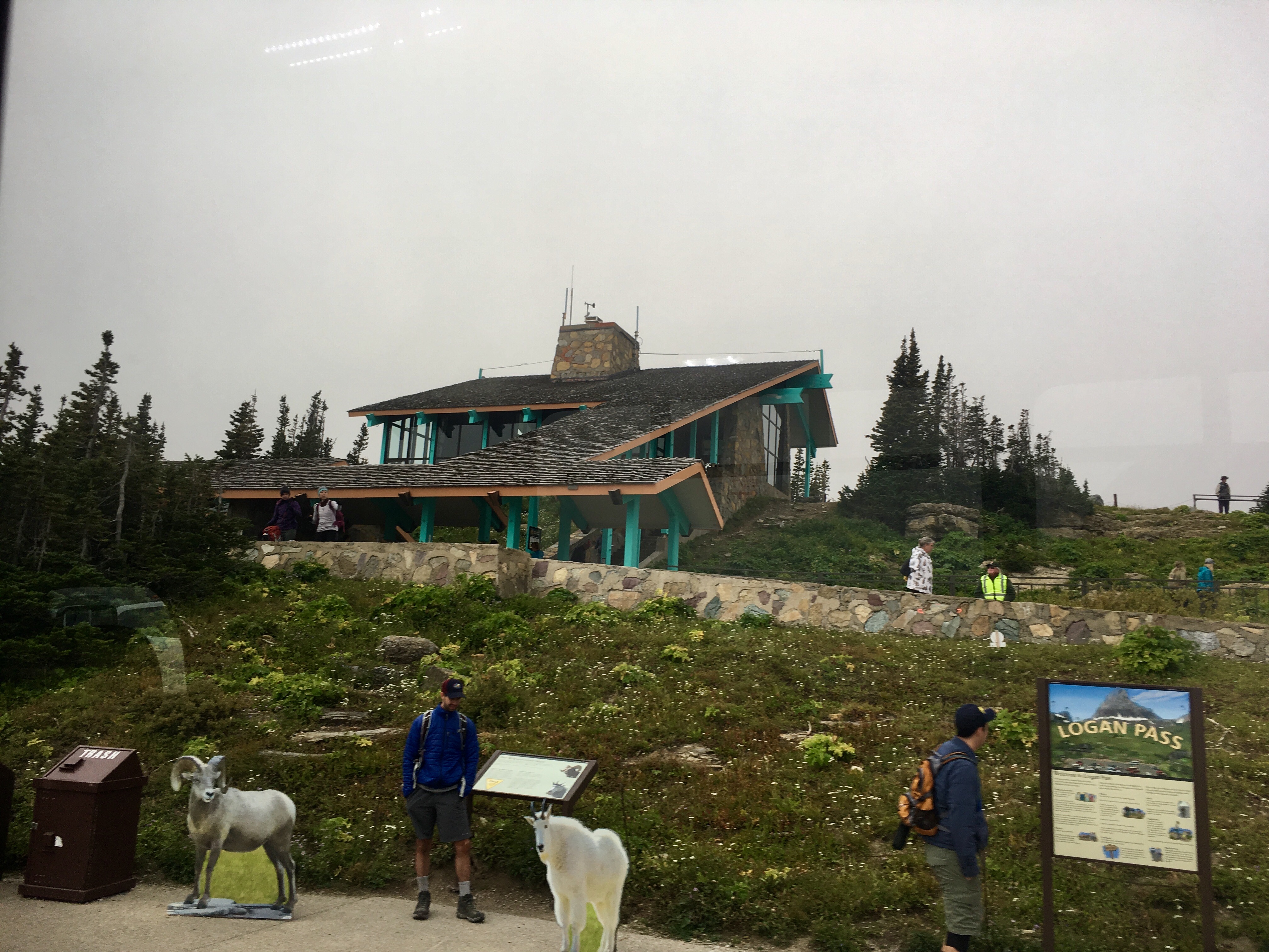
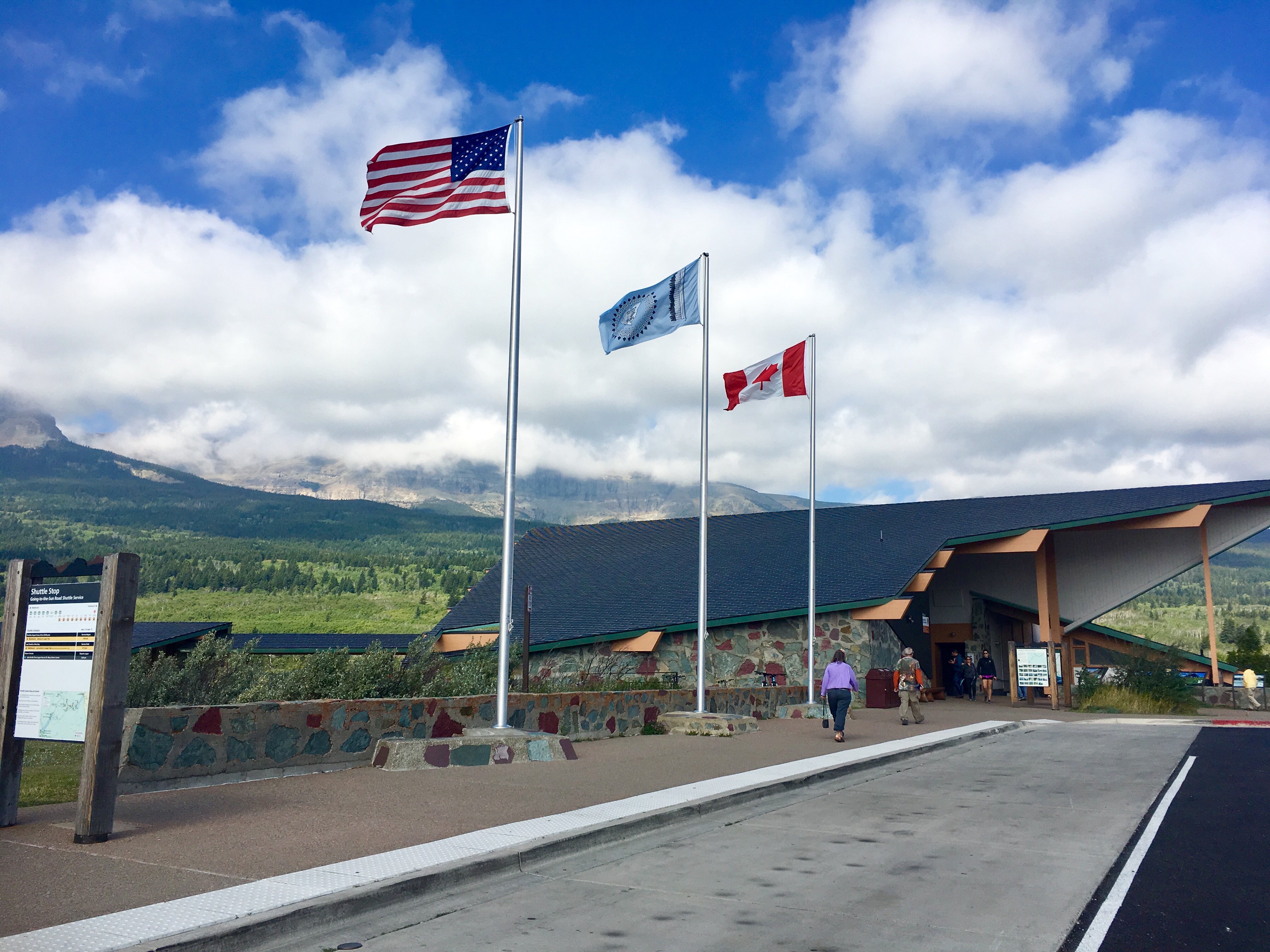
Apgar Village with lots of little shops was an easy walk from the campground. The free shuttle bus started at the visitors center, stopped at the Village and then at Apgar campground. We walked over to watch the operation and talked to a couple of the shuttle bus coordinators. We learned that the line for the bus was about 20 people long 1/2 hour before the first bus, which only holds 15 people. So waiting until the bus arrived at the campground was a non-starter. So we hiked over to the visitors center 45 minutes before the bus and got there just before a large student group. Whew!
A friendly reminder…
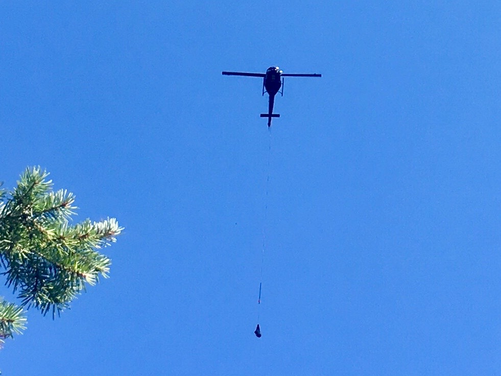
There was some kind of helicopter ferrying going on while we were there. No one seemed sure about what they were ferrying, but a helicopter often flew by with a load in a cargo net and then returned shortly with an empty net. Probably some kind of construction project in the backcountry.
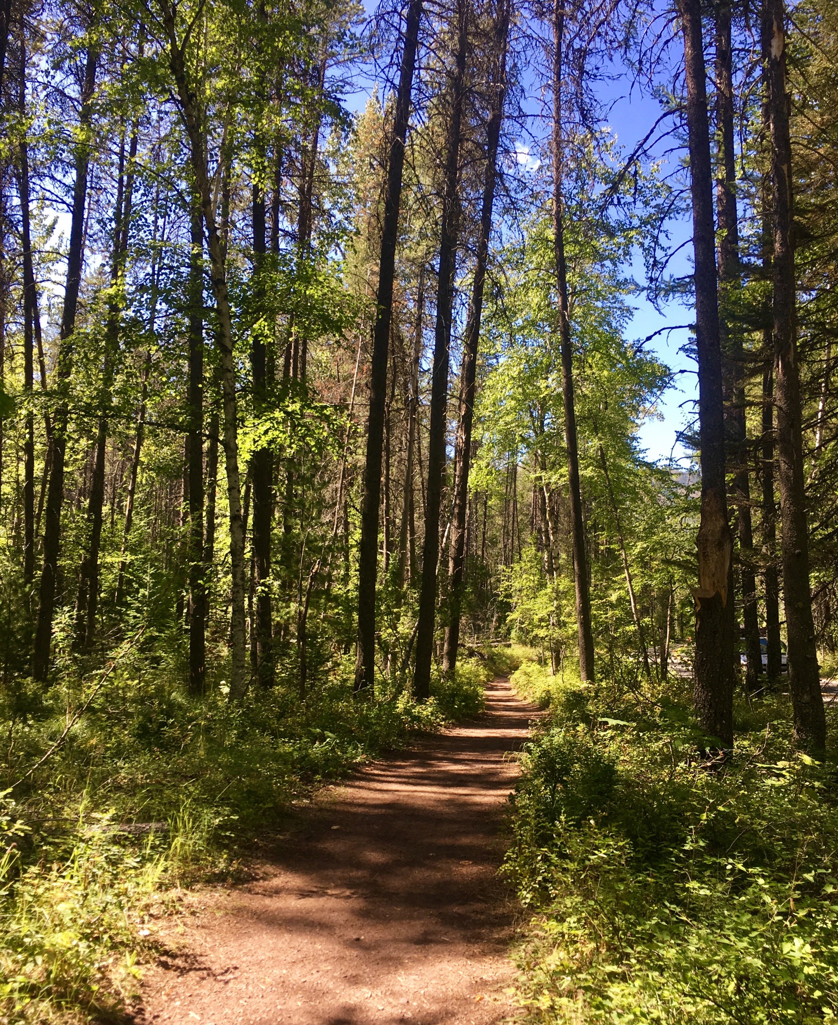
The hiking trail from the campground to the Visitors Center.
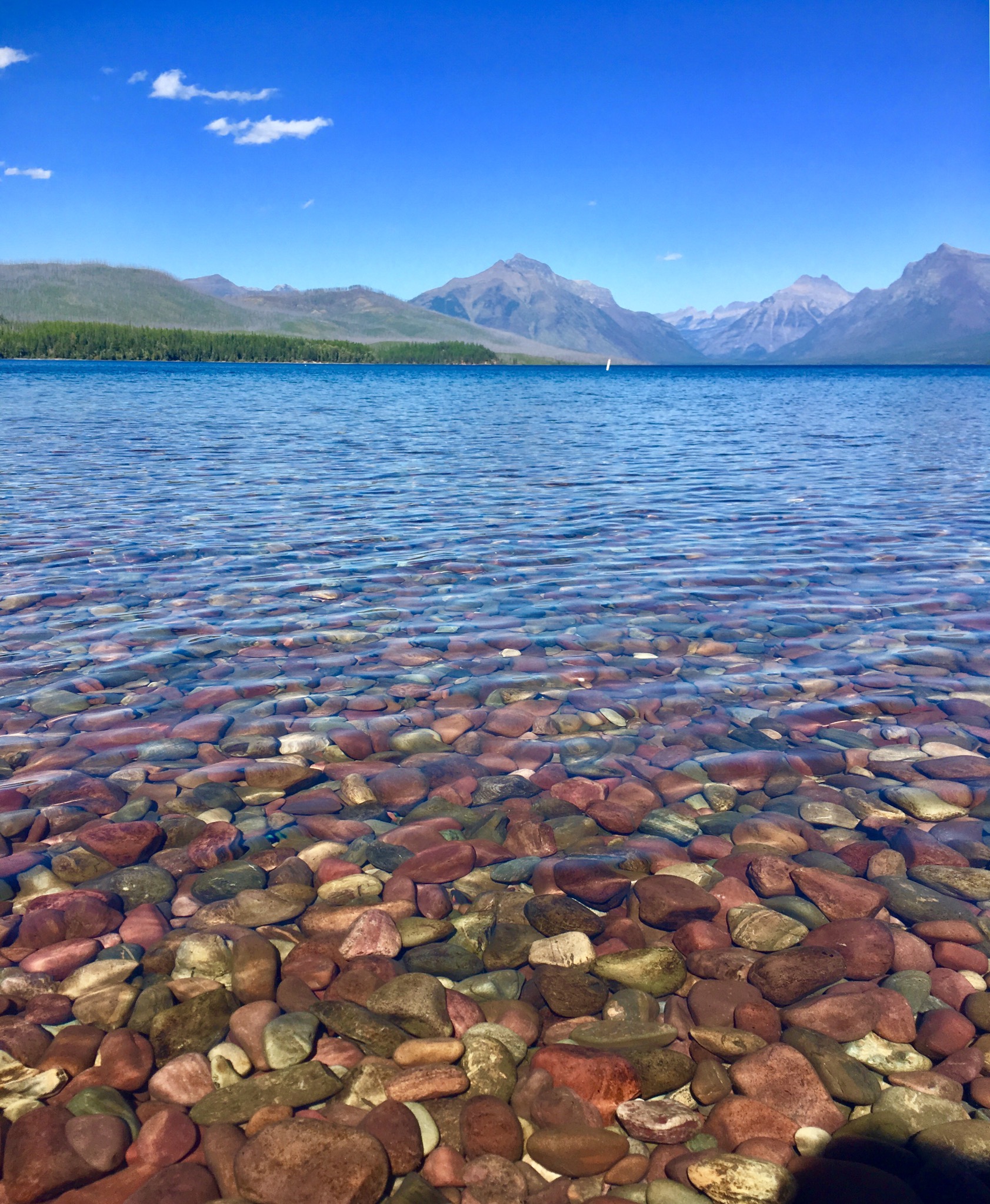
The rocks were fascinating. All brown when dry and lots of colors when in the water. Maybe the minerals combined with the light filtering through the clear water?

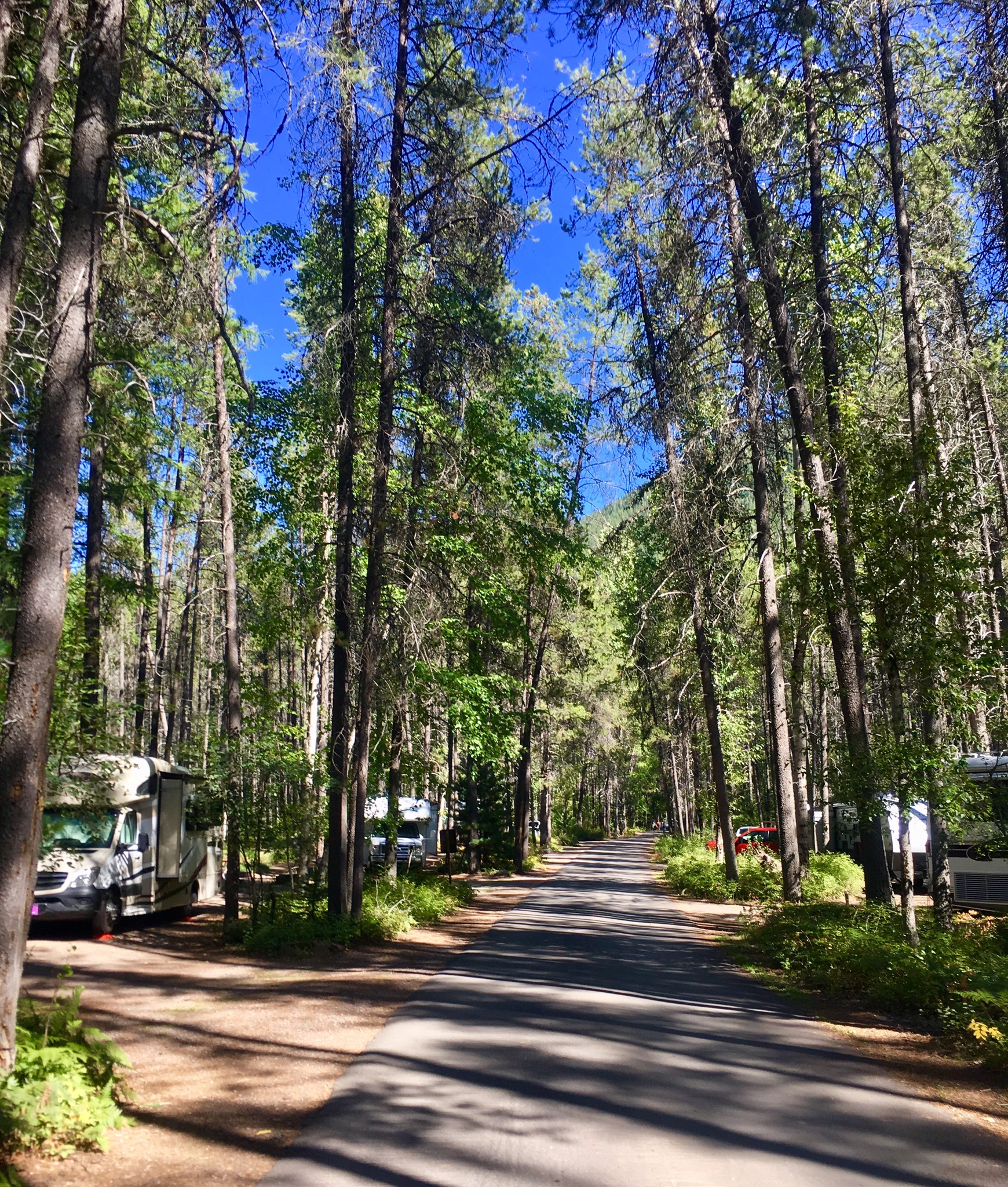
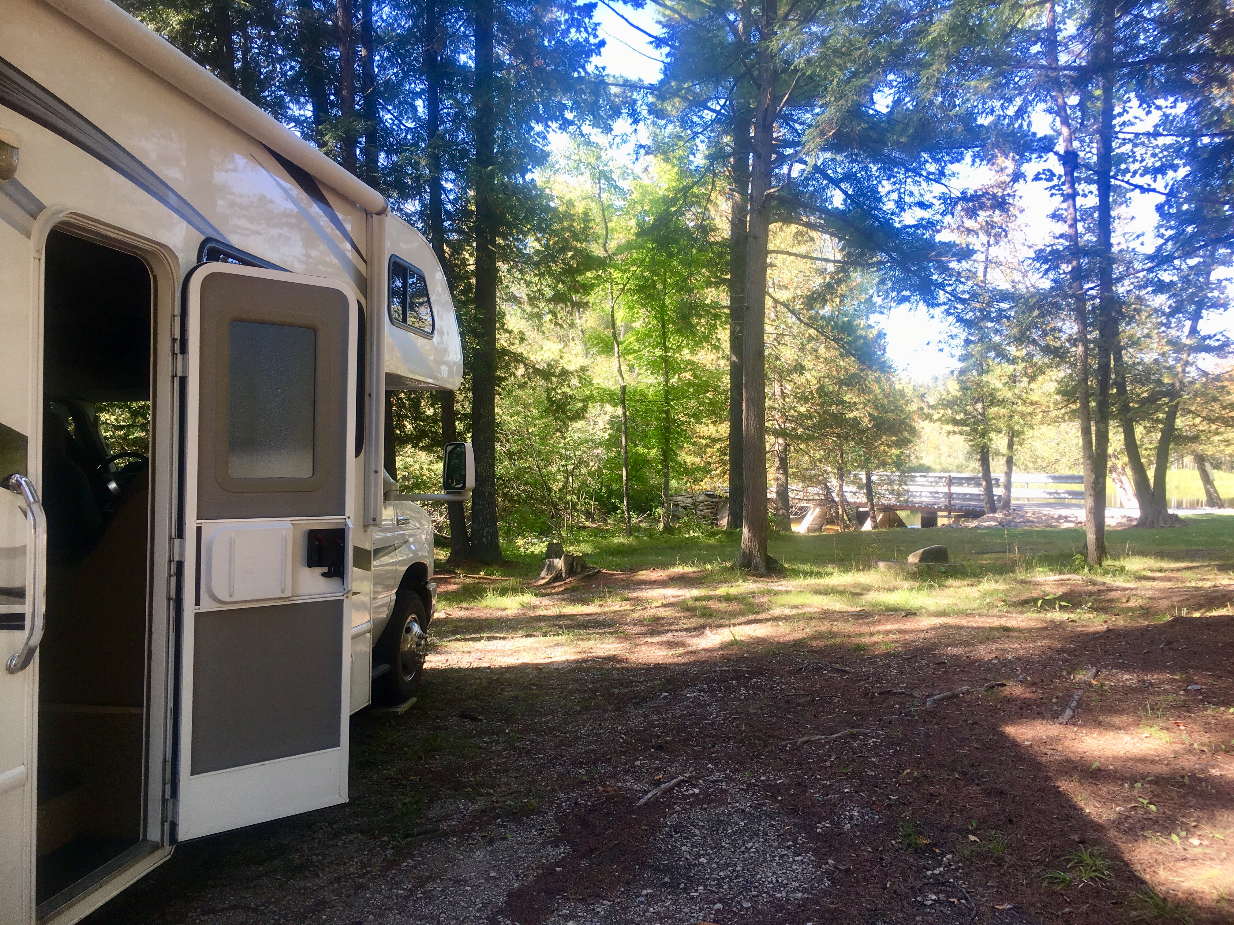
The campsites were nestled among the trees. No hookups, but we’re used to that.
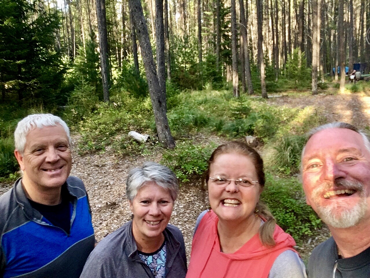
What a treat! A couple we met at the Homer Spit in Alaska was visiting Glacier at the same time. We connected via Instagram and caught up on each others adventures since our time in Homer.
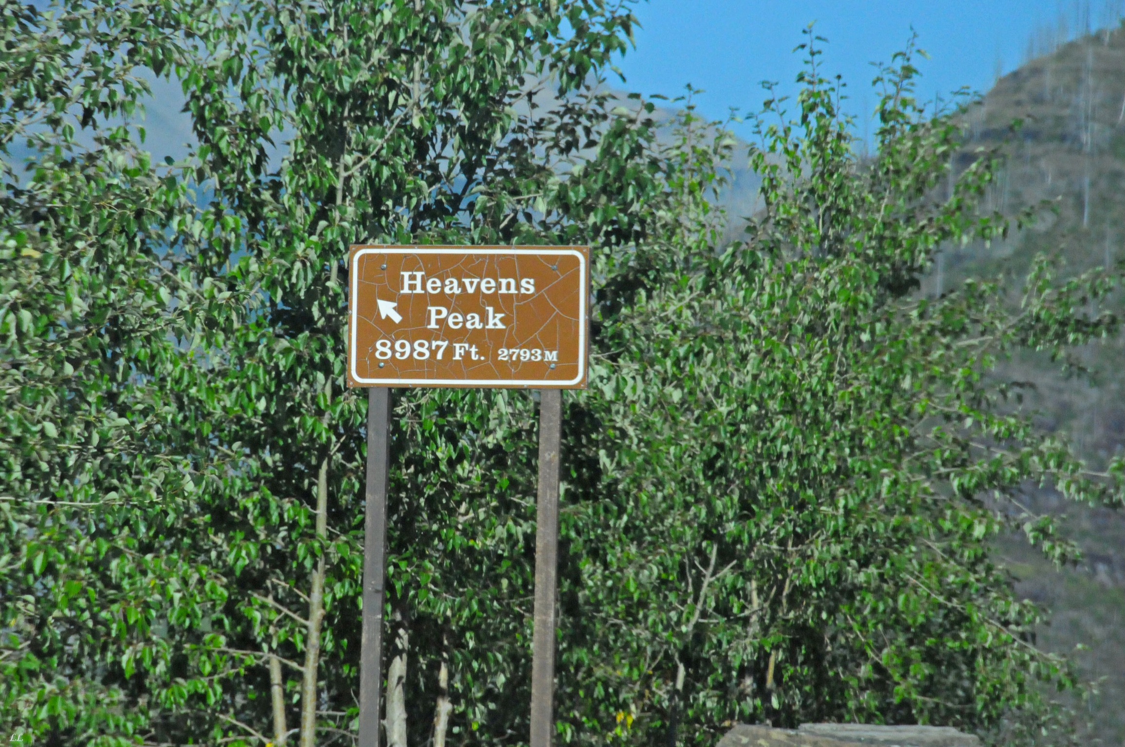
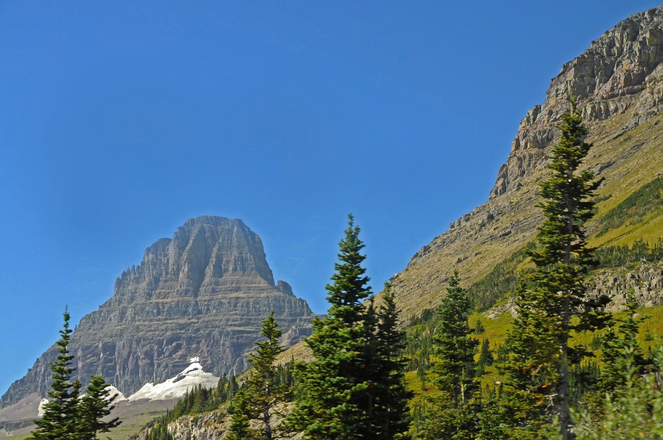
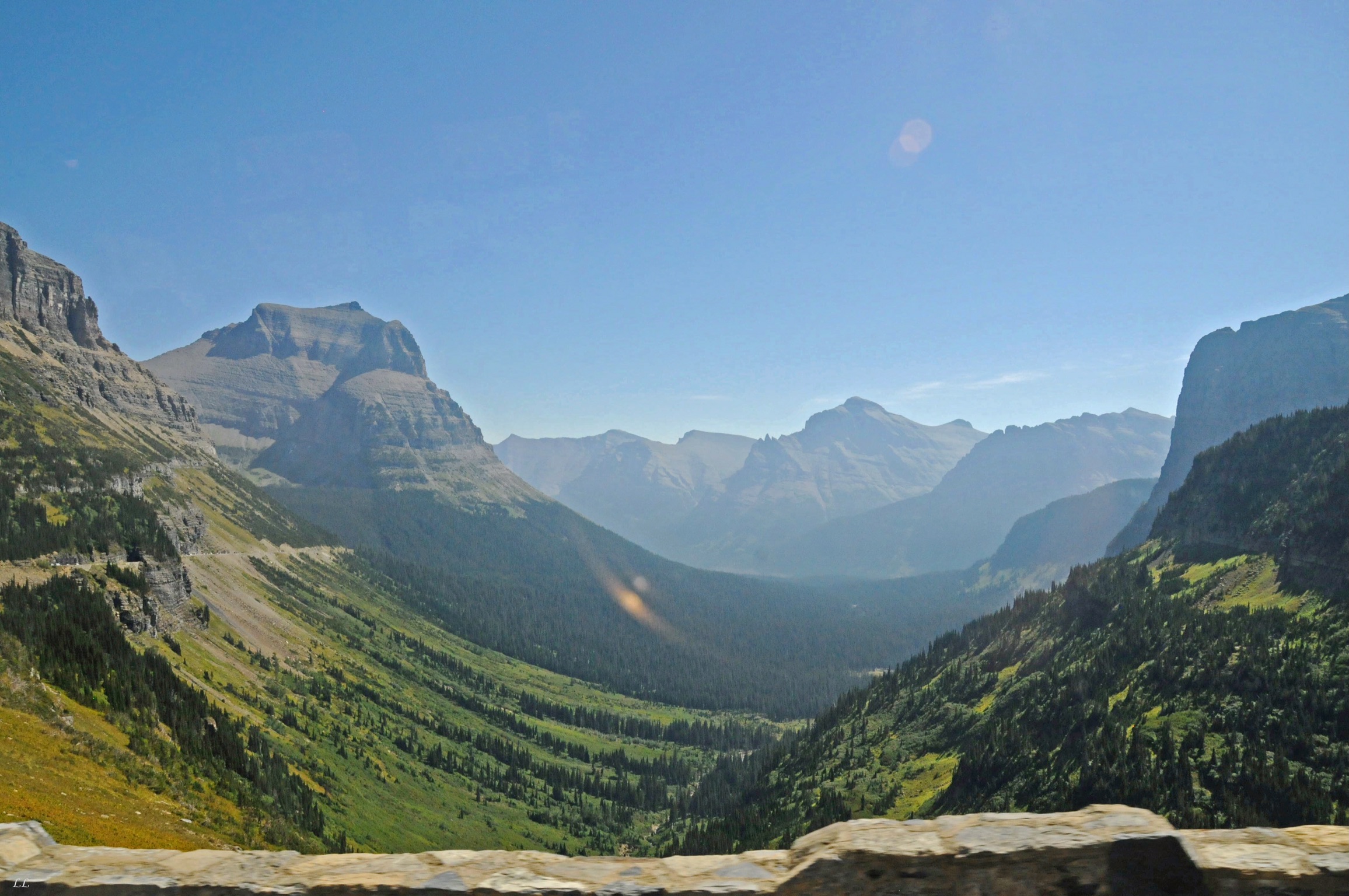
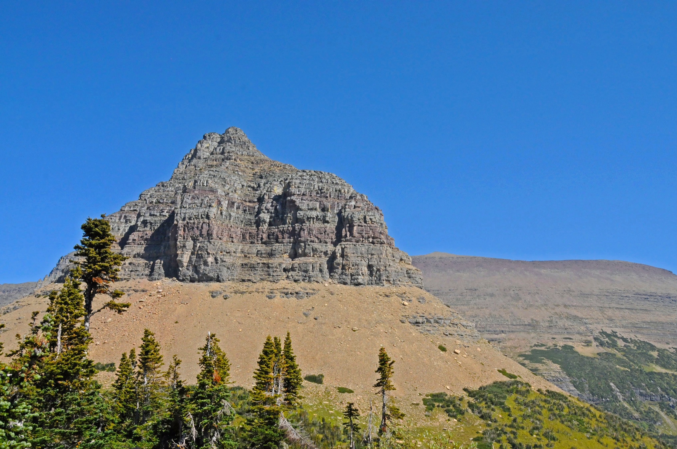
The “Road to the Sun” has some pretty strict vehicle limits. Nothing over 10′ high or 21′ long is allowed on the road. After riding the bus from one side to the other, we understand the logic. The road is narrow, crowded, twisty and has some pretty low rock cropping overhangs. The traffic alone would make driving it a pain. The bus is definitely the way to go.

Another good thing about the bus is that we could both enjoy the scenery. Driving would have taken so much concentration that it would be impossible to enjoy the views.
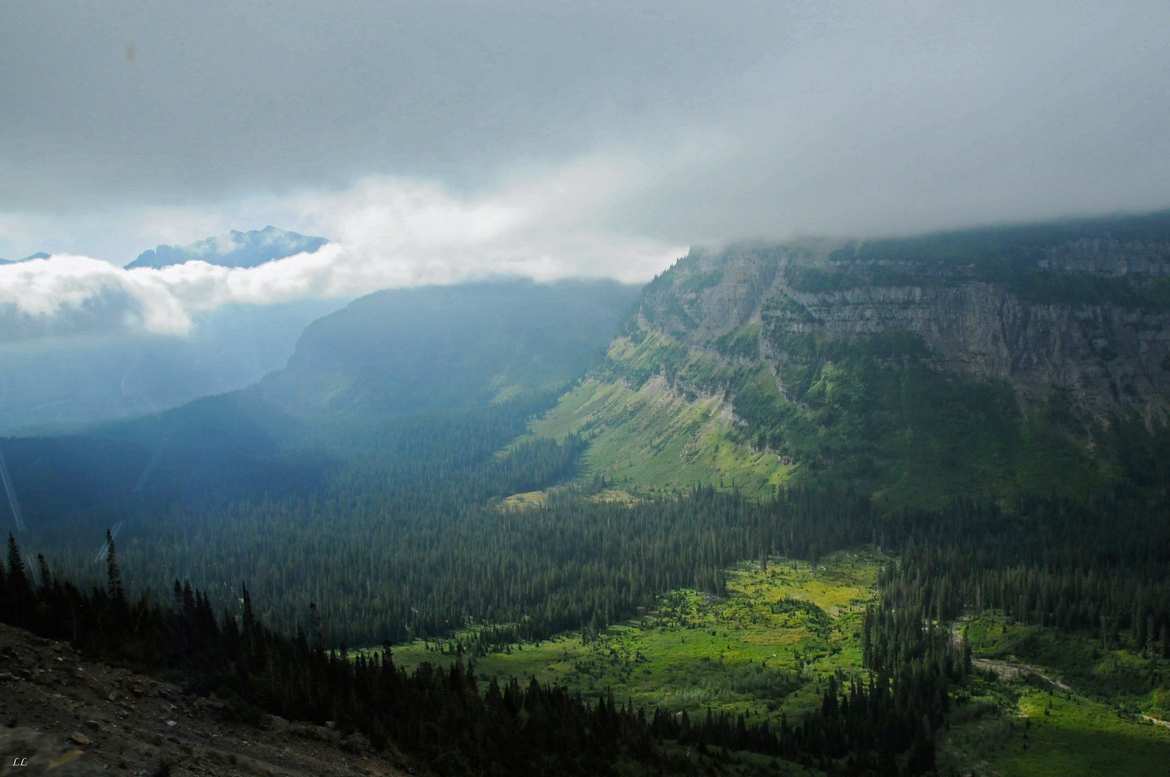
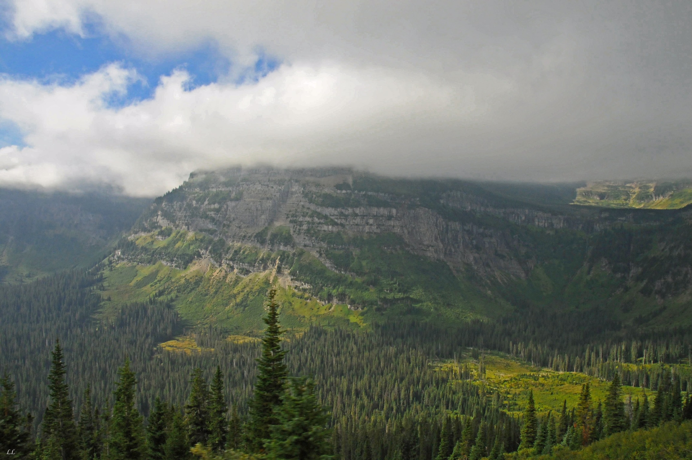
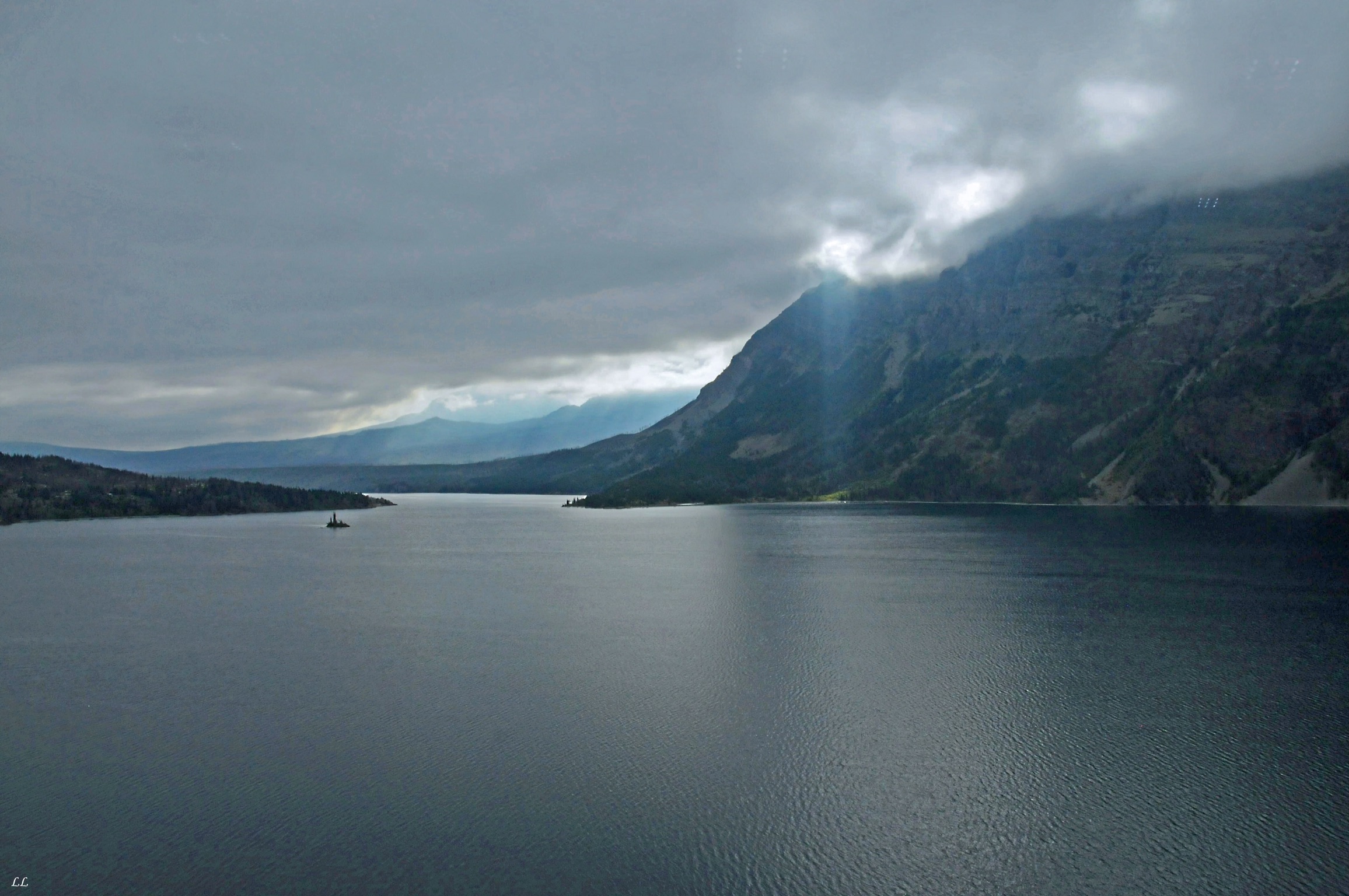
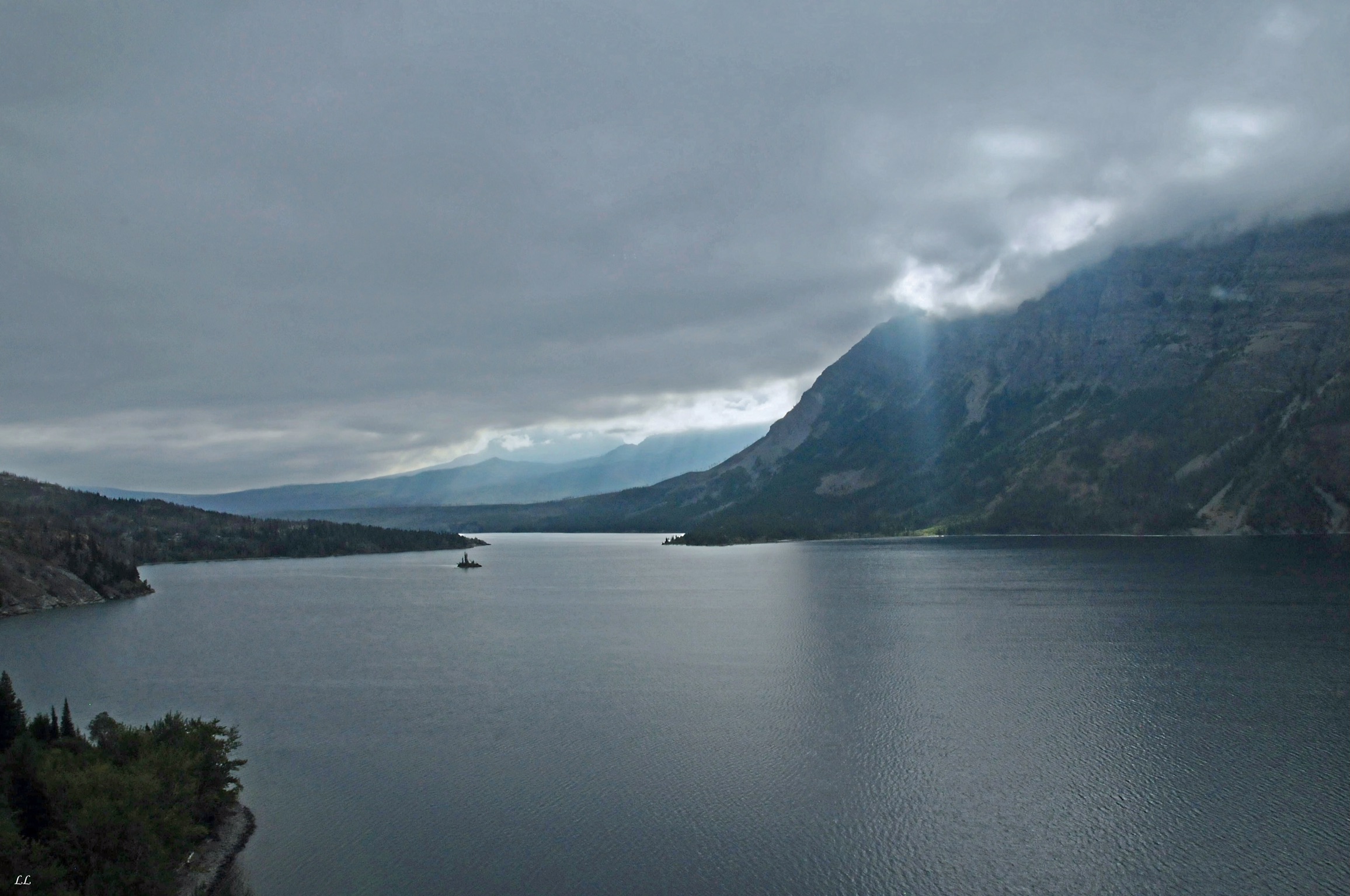
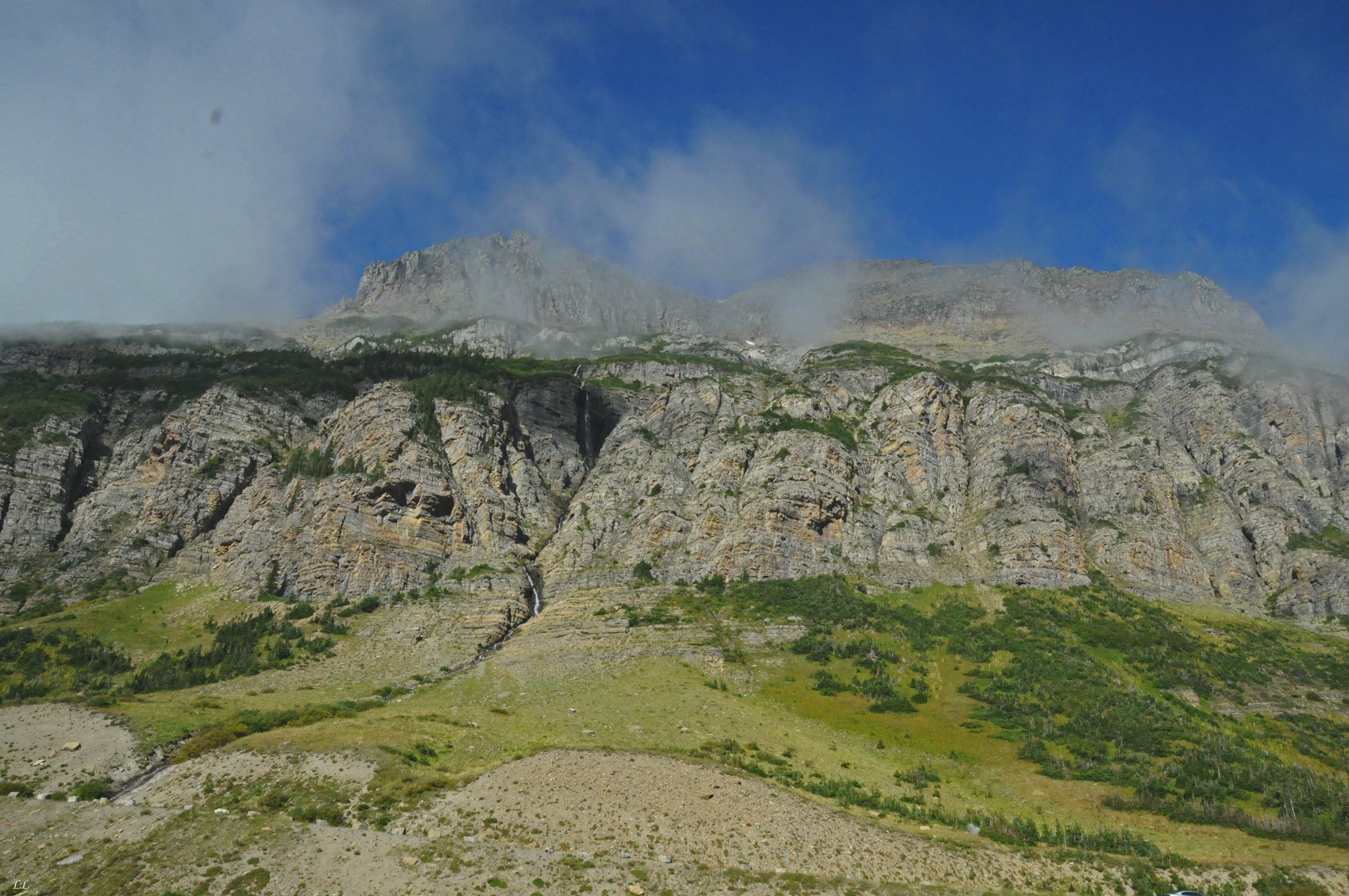
The weather always adds drama to the views!
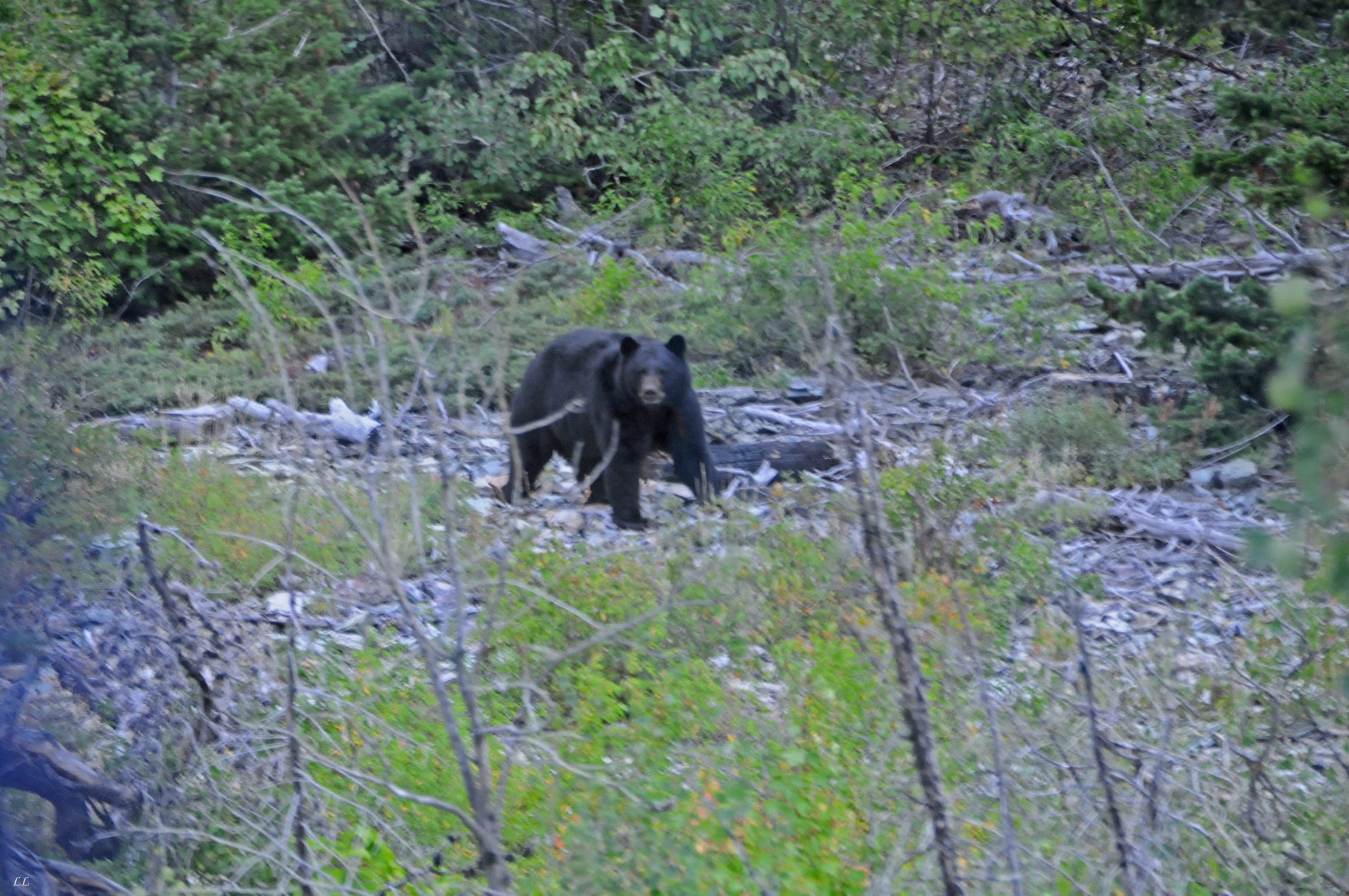
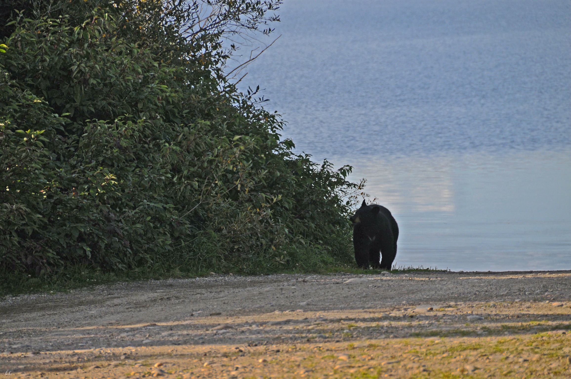
Another bear. This guy caused a ‘bear jam” – cars stopped all over the road, people jumped out and ran towards the bear to get a closer picture. No way was anyone getting through until the bear decided to amble on it’s way. Of course, we wondered what those people would think if the bear decided it wanted to get up close and personal with the crazy humans.
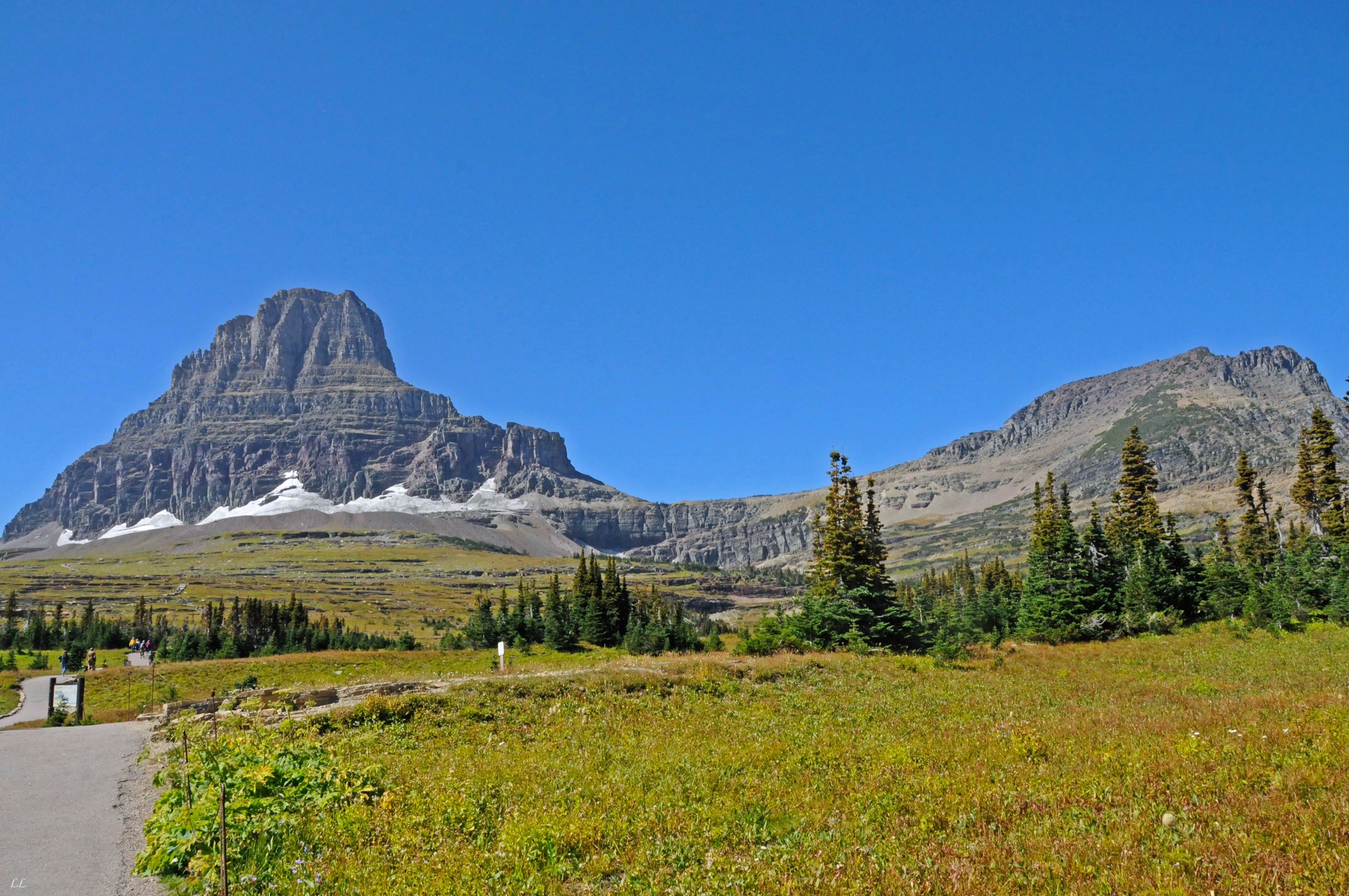
The east side of the road has another visitors center at St Mary’s with a great short movie about Glacier.
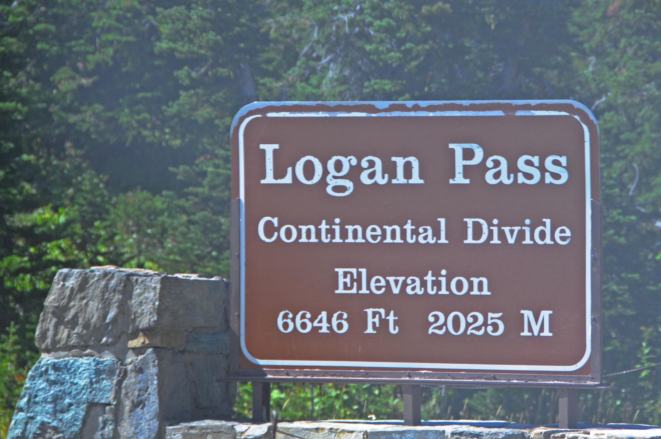
One of the 2 major north-south continental divides. The other is along the Appalachians back east. Then there are a couple that run east-west.

Our ride through the park.


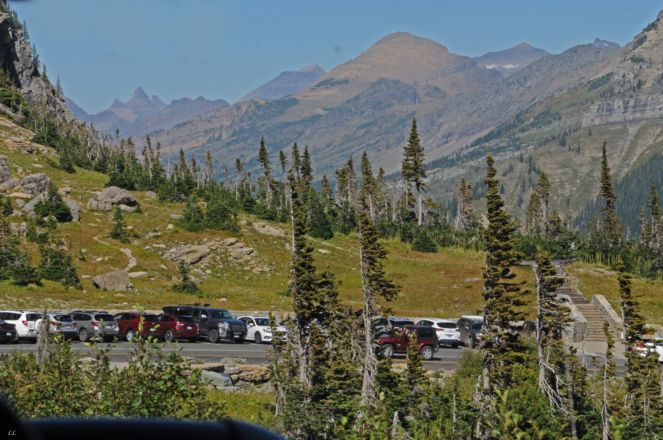
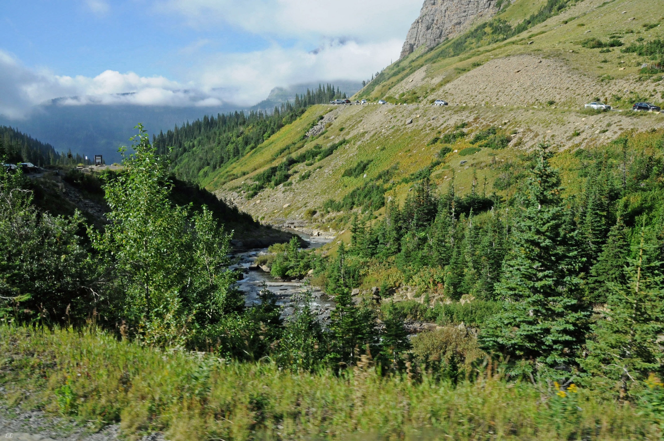
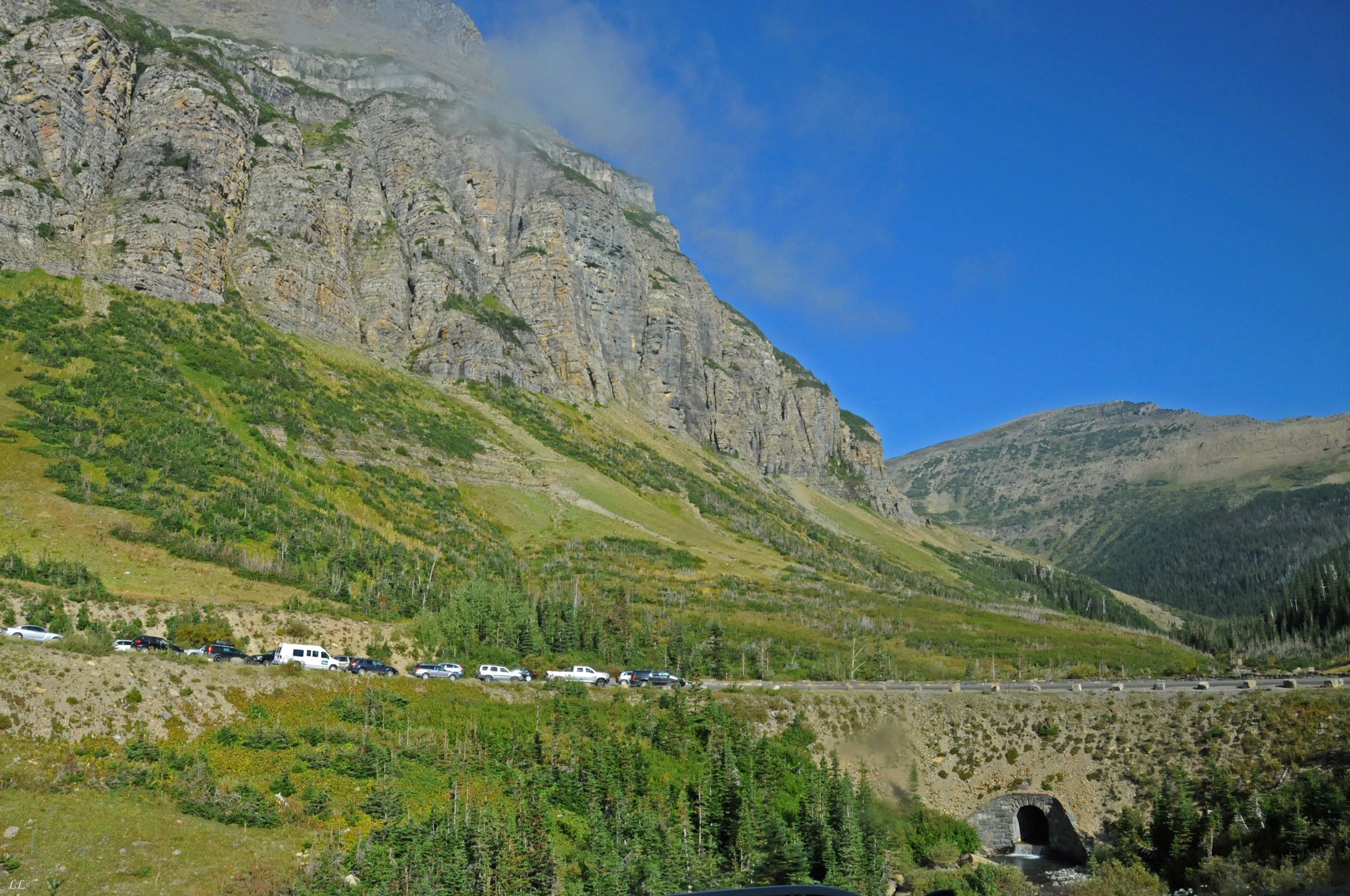
We were there in what they called the “shoulder” season. The summer season is the most crowded, then the park extends the season by a week or so depending on the weather before they close the campgrounds and the road. It was pretty obvious that a lot of people like the shoulder season! Very early each morning, signs went up that all the parking lots at the top and along the road were full. Seems that the best way to drive the road was to leave either at dawn or even earlier. But everyone knows that trick as well…

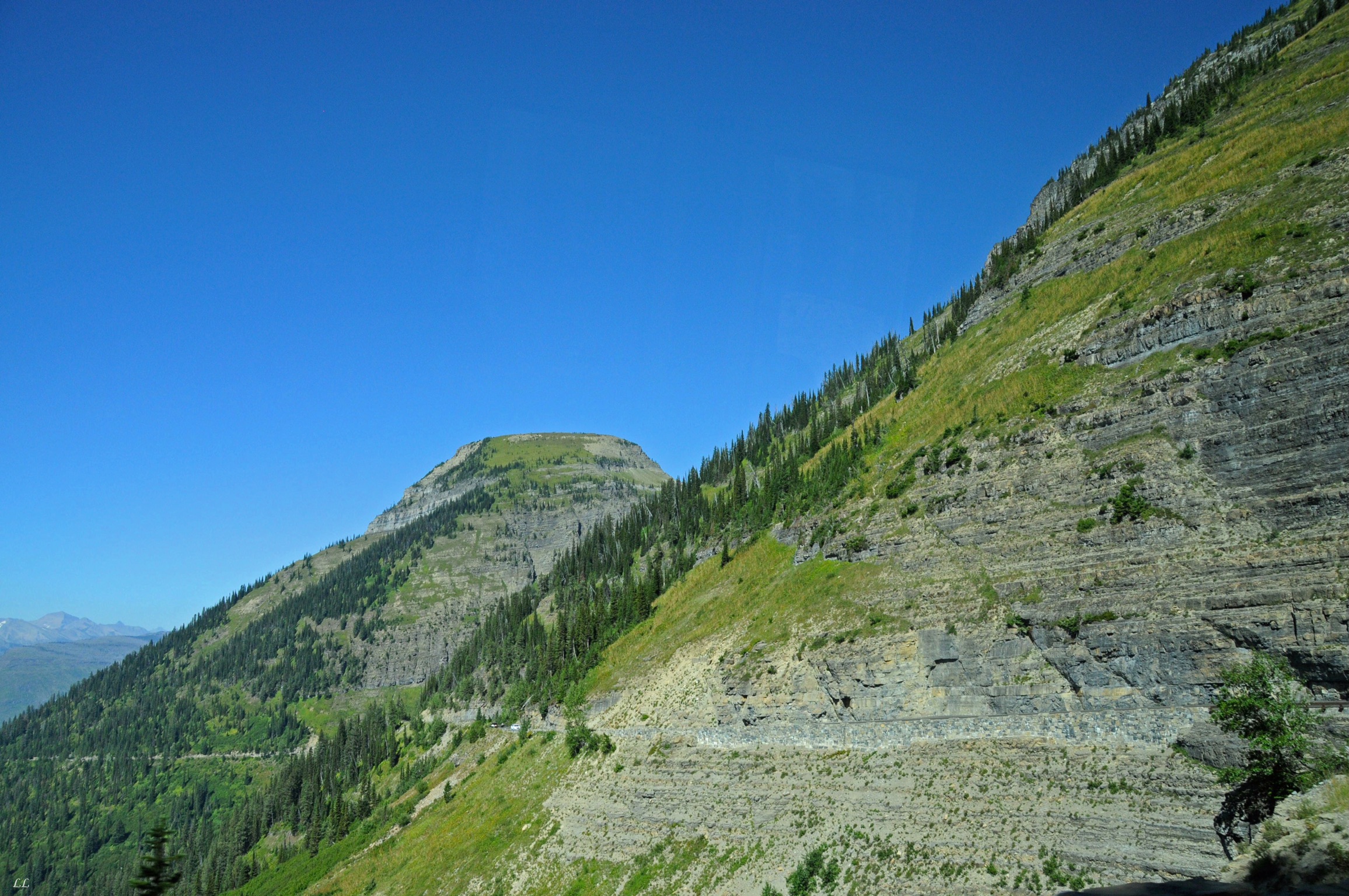
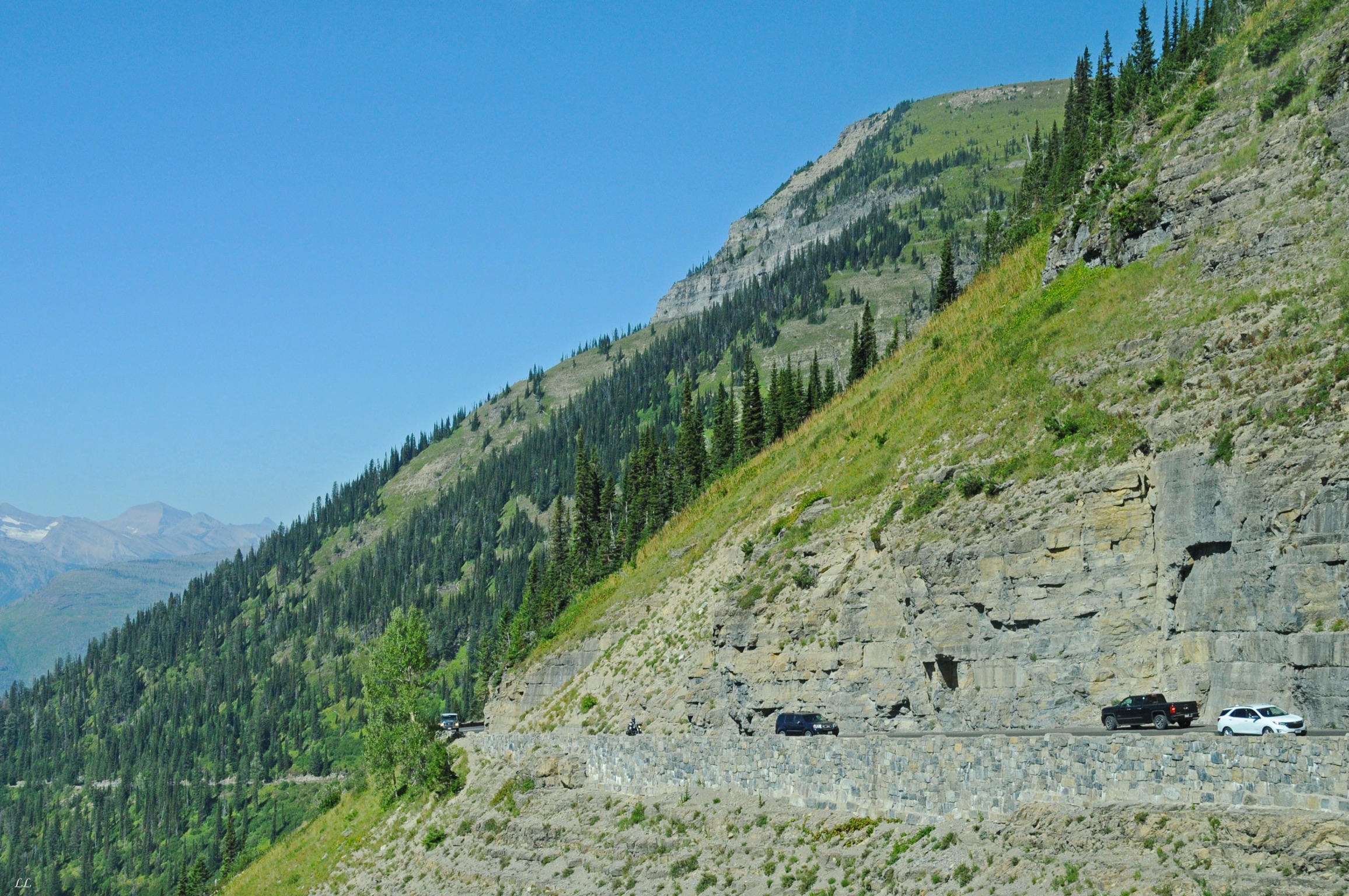
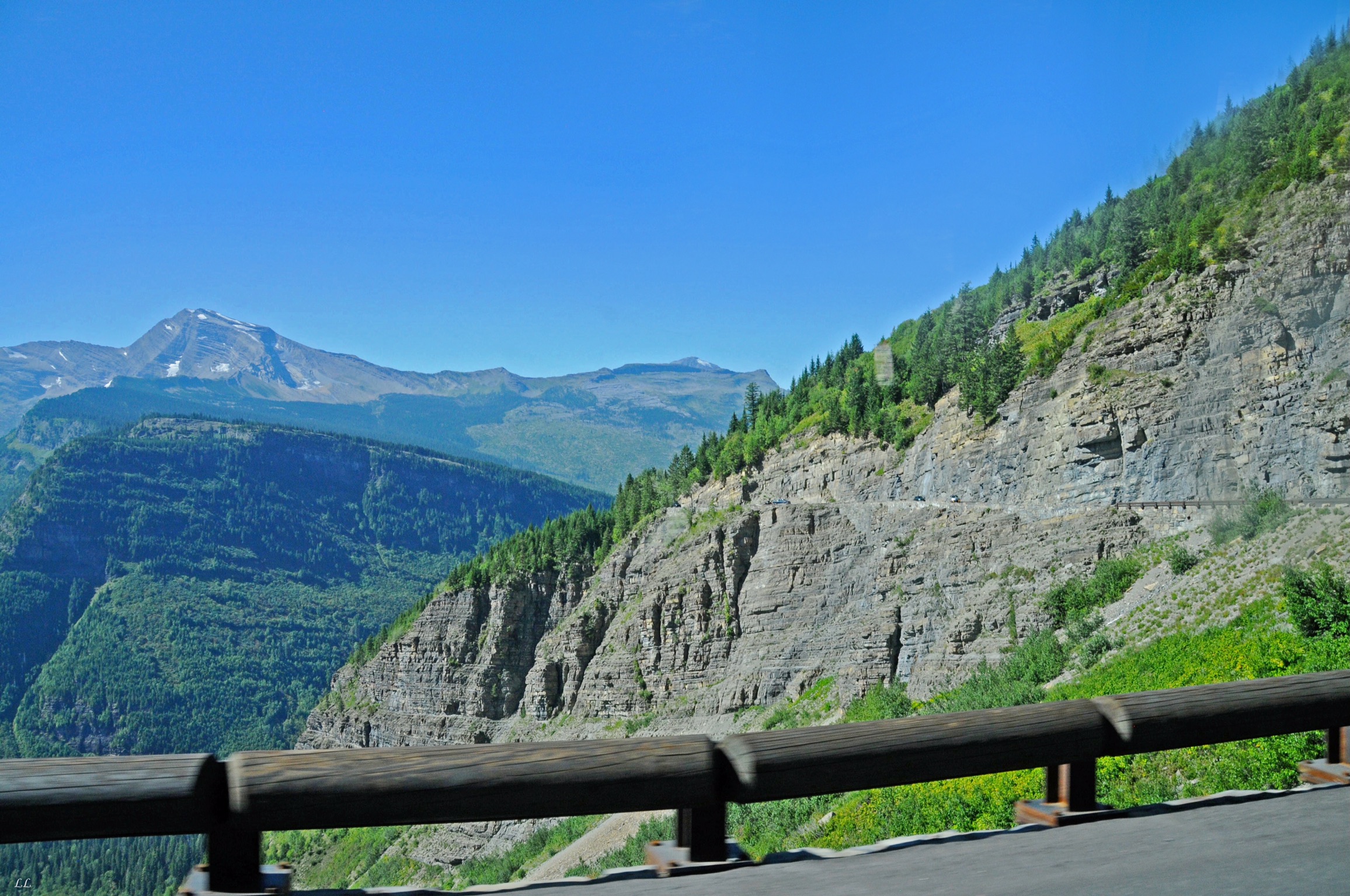
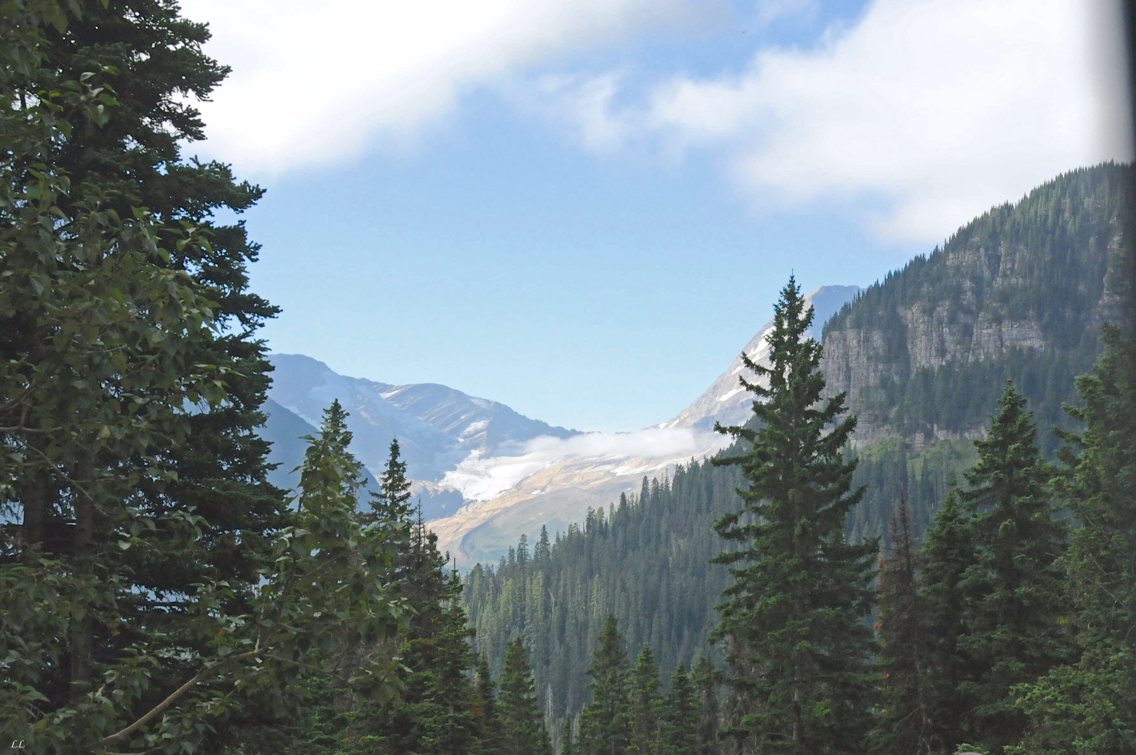
An example of the steep drop-offs along the road. Some were pretty spectacular.
But if not…
While we were in Alaska, we started looking at the atlas and pondering possible routes back across the country to get home. Needless to say, there are a lot of possibilities, most involving interstate highways. While those may be the fastest, they are not our favorites. We also didn’t want to dip too far south and get caught in the late summer heat. Then we noticed a little secondary highway, Route 2, that crossed from Seattle all the way to the Upper Peninsula of Michigan, staying fairly close to the Canada border and going through small towns. Perfect! Then we talked to folks who lived along Route 2 and all said the same thing – “Oh yeah, the 2. That’s a great route.” So we decided to take “the 2.”
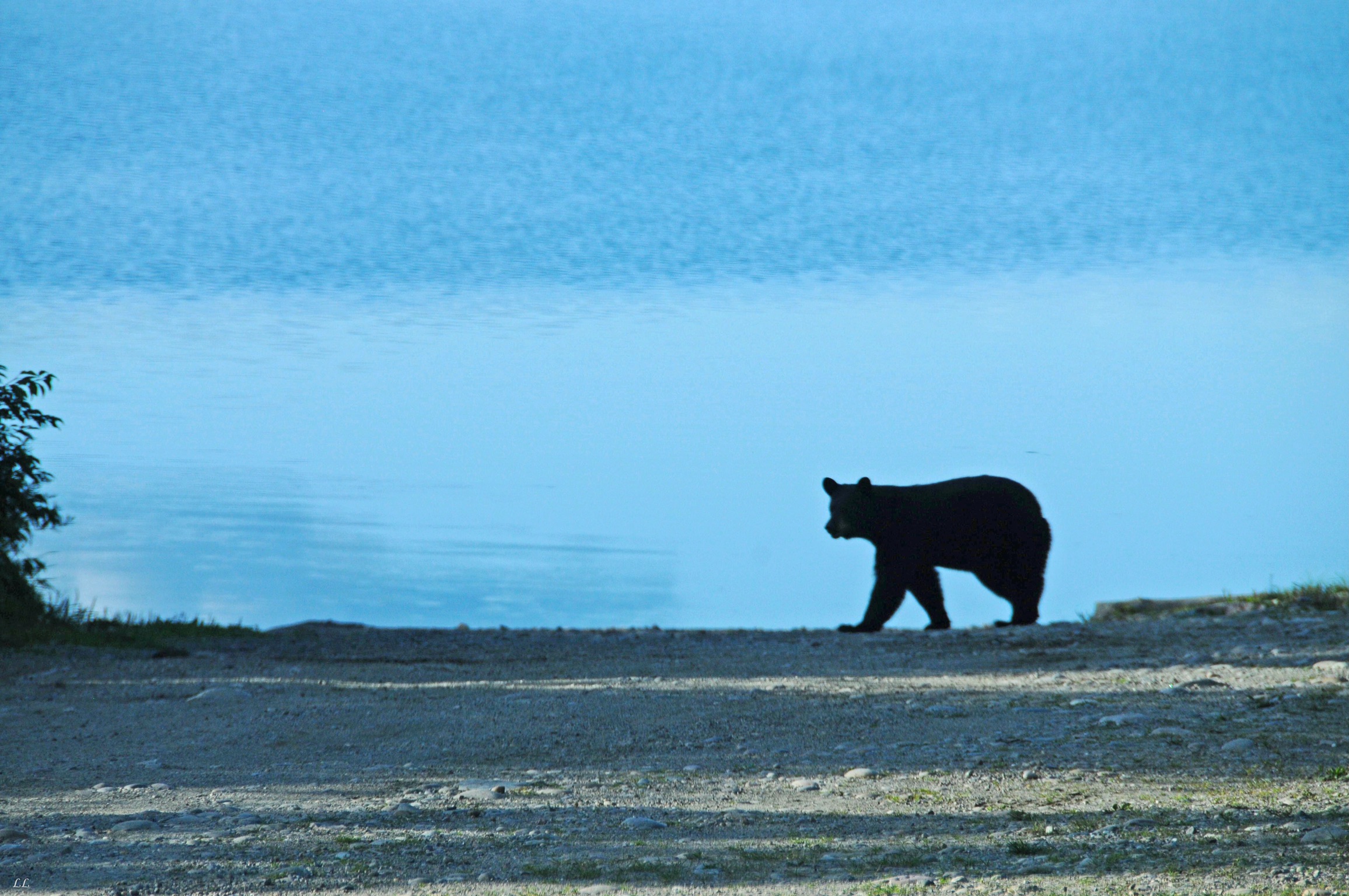
Another bear sighting! He was almost quick enough to miss out on getting his picture taken. But Lyn usually has one camera or the other in her hand and ready.
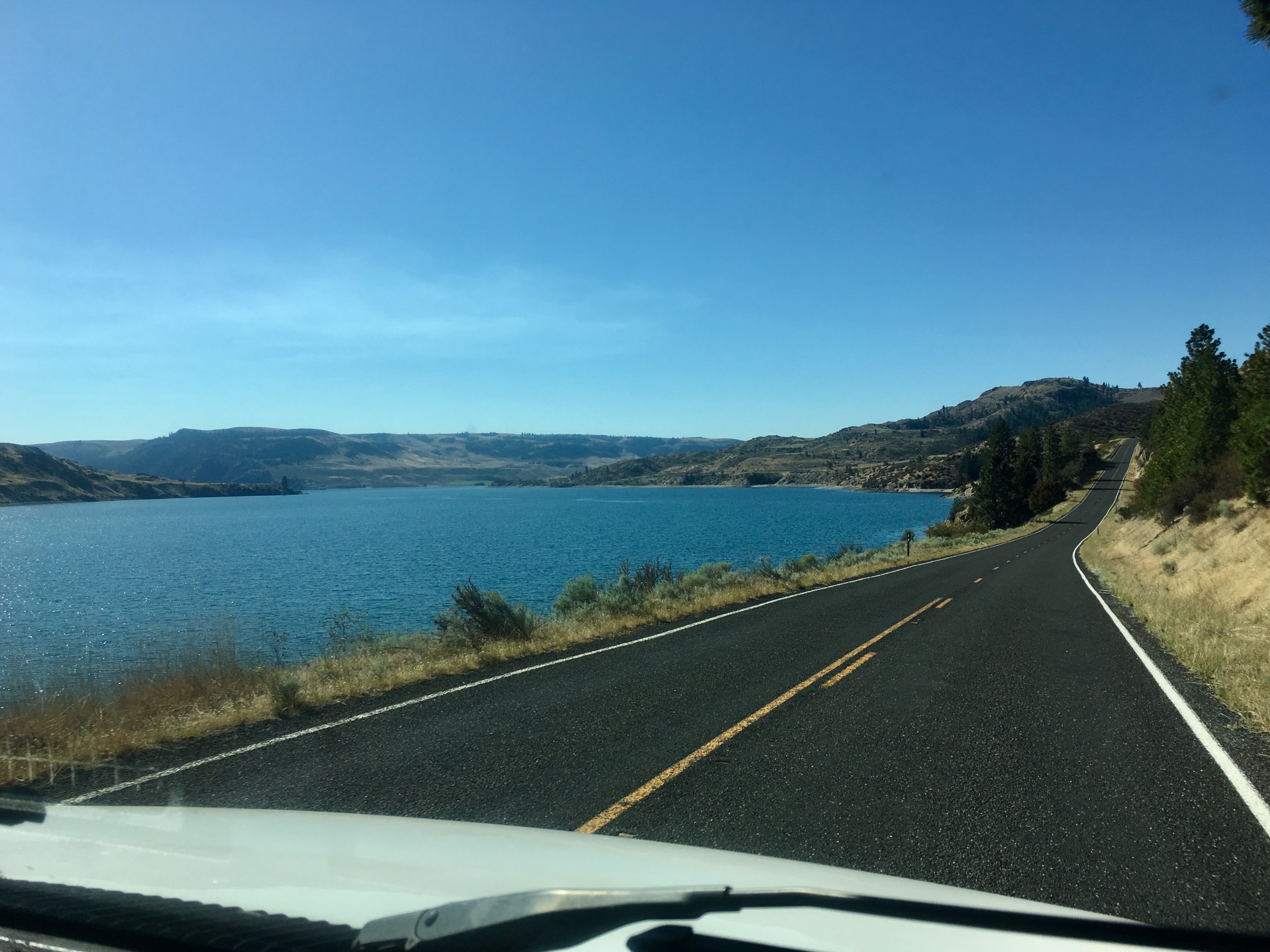
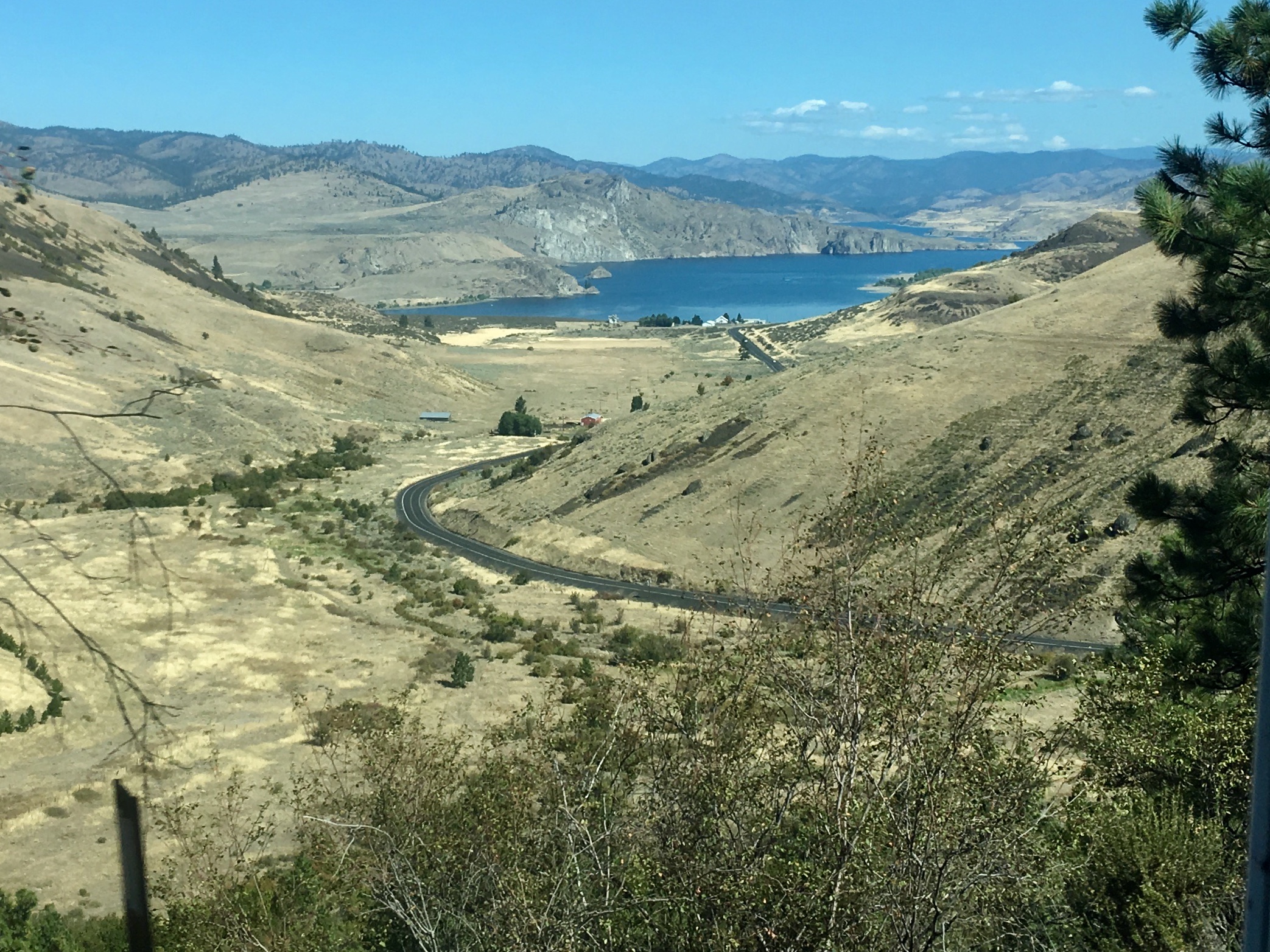
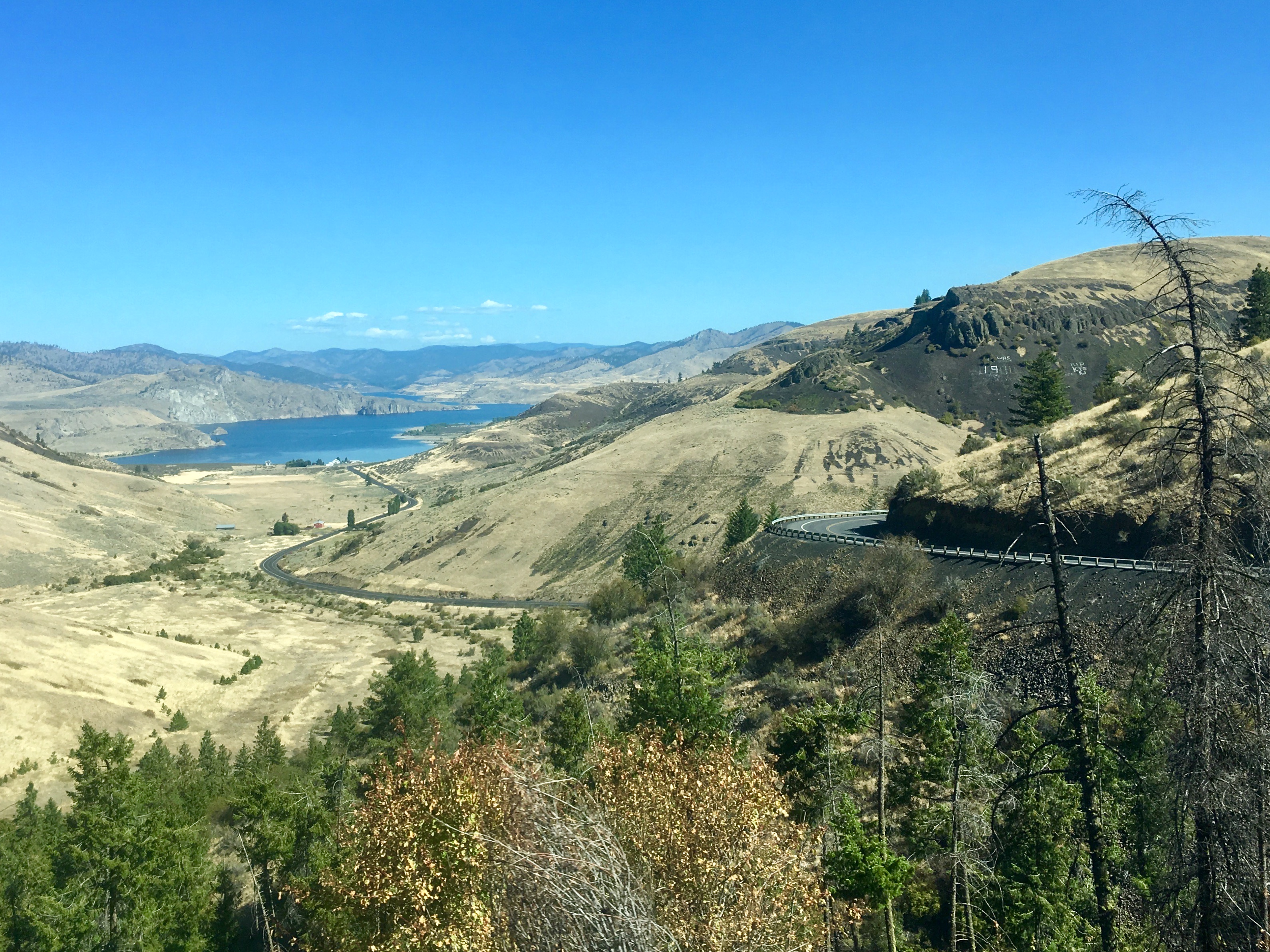
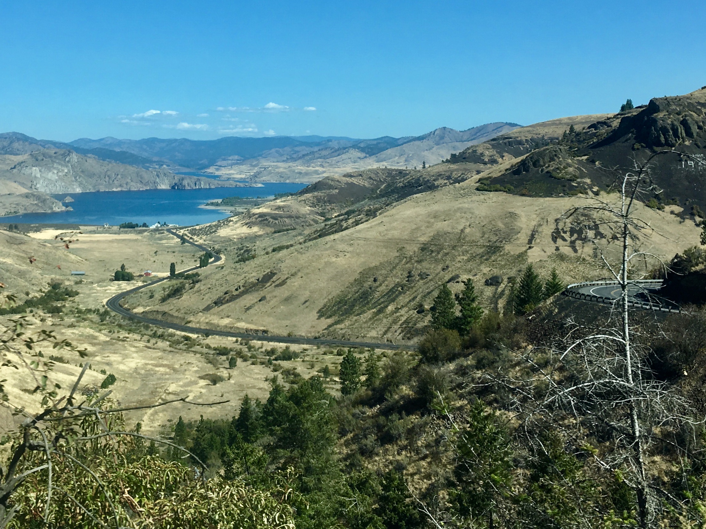
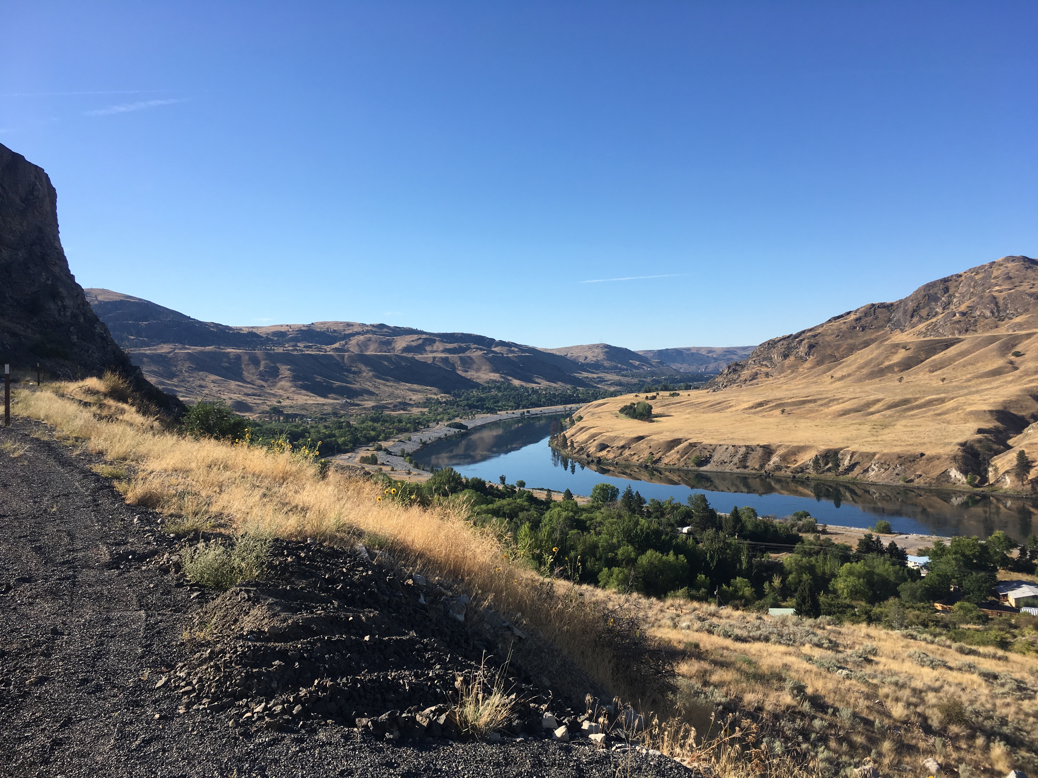
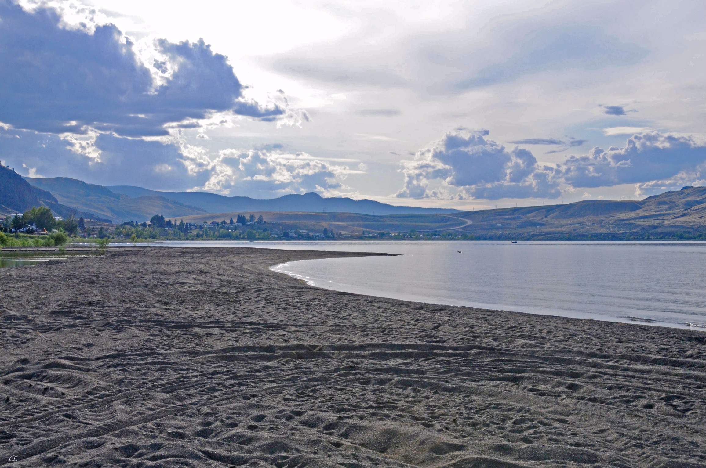
Driving along the Columbia River after leaving Curlew Lake.
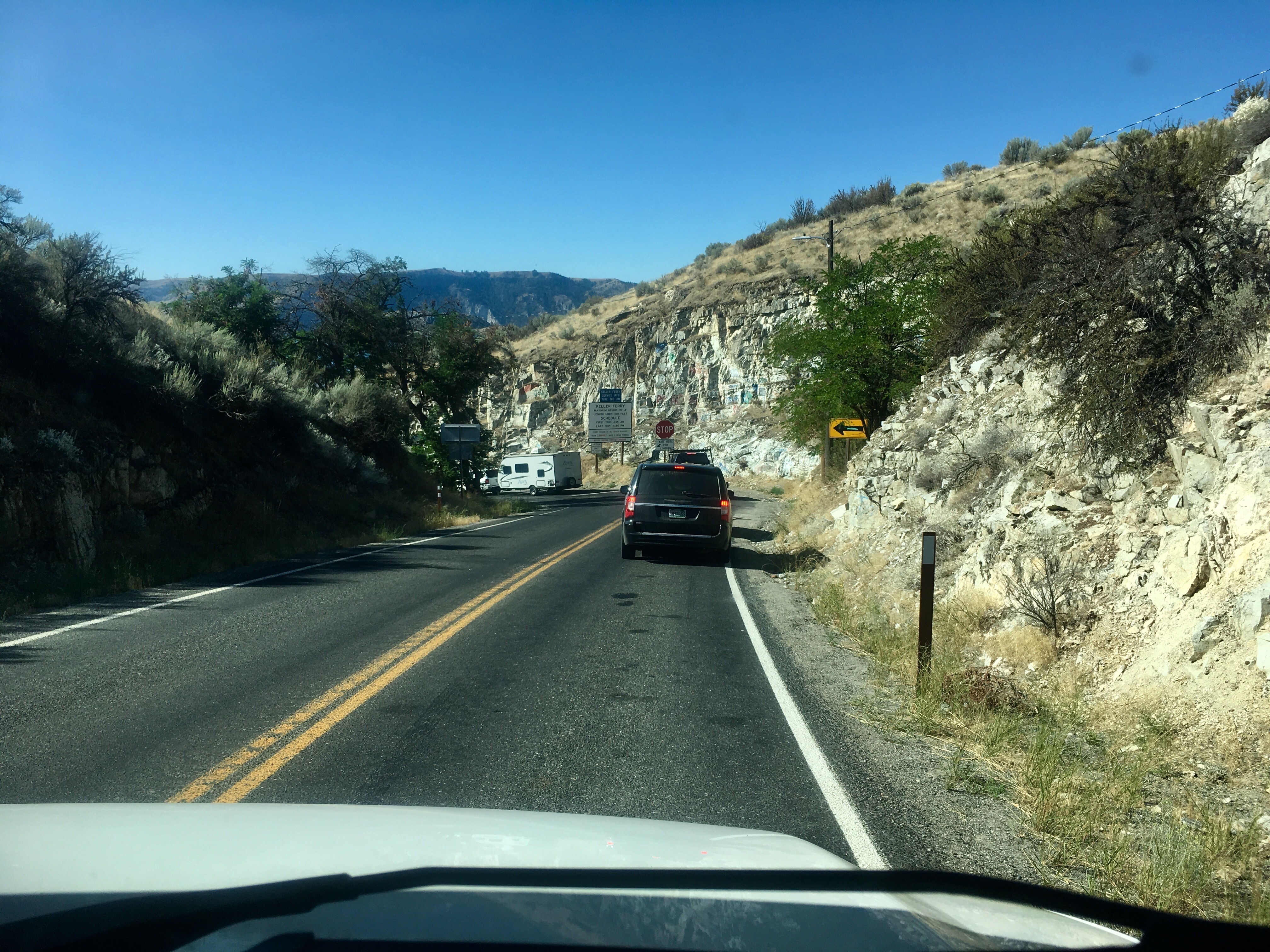
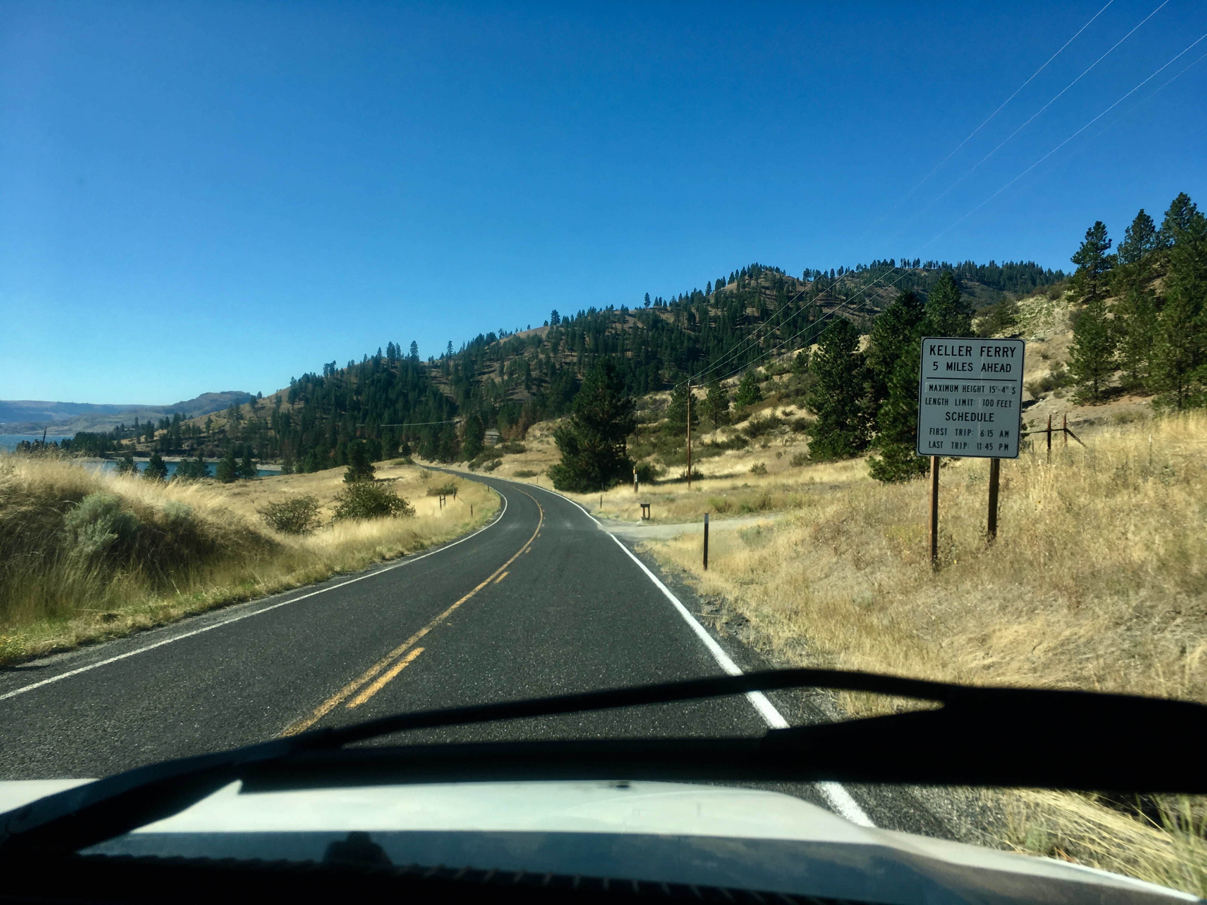
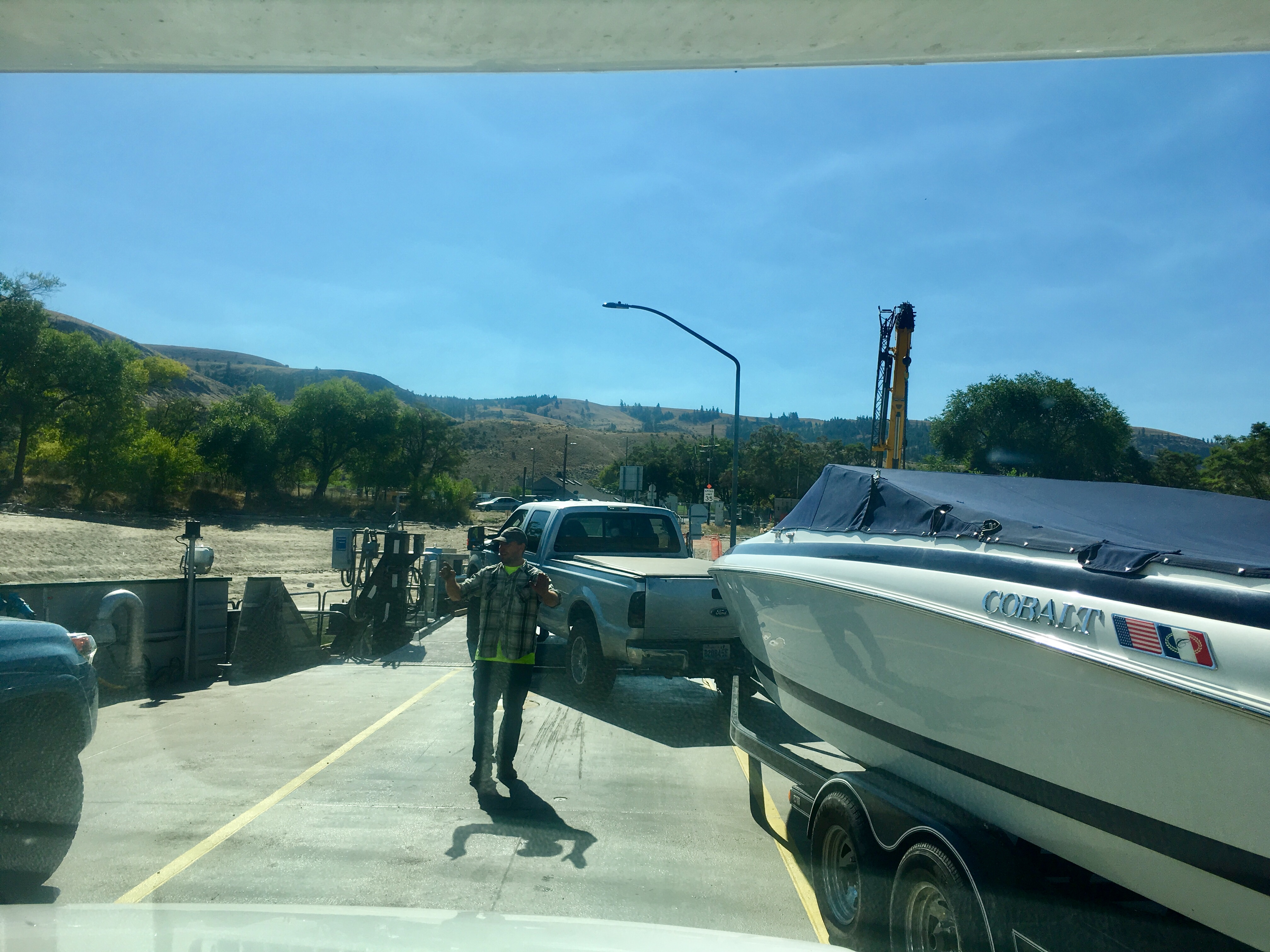
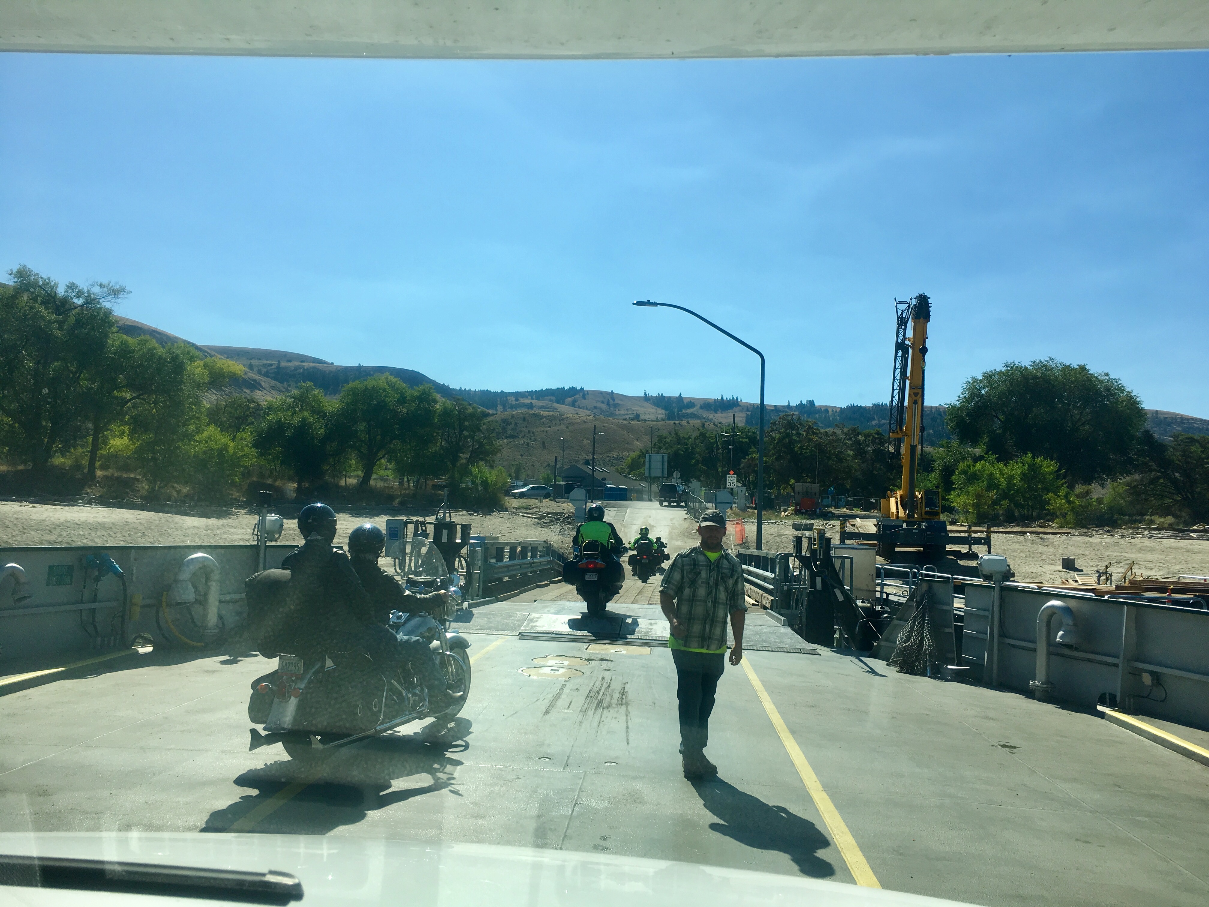
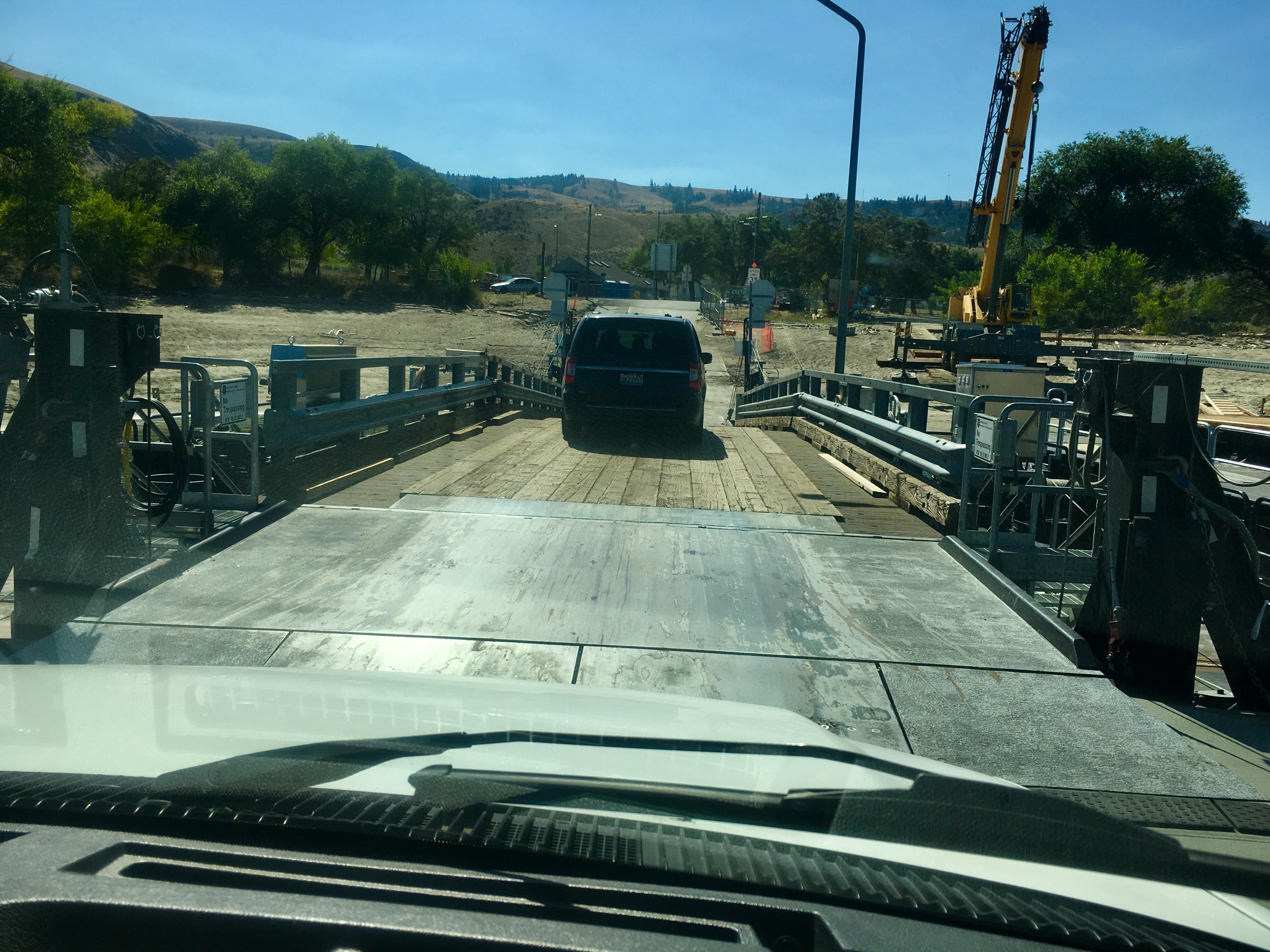
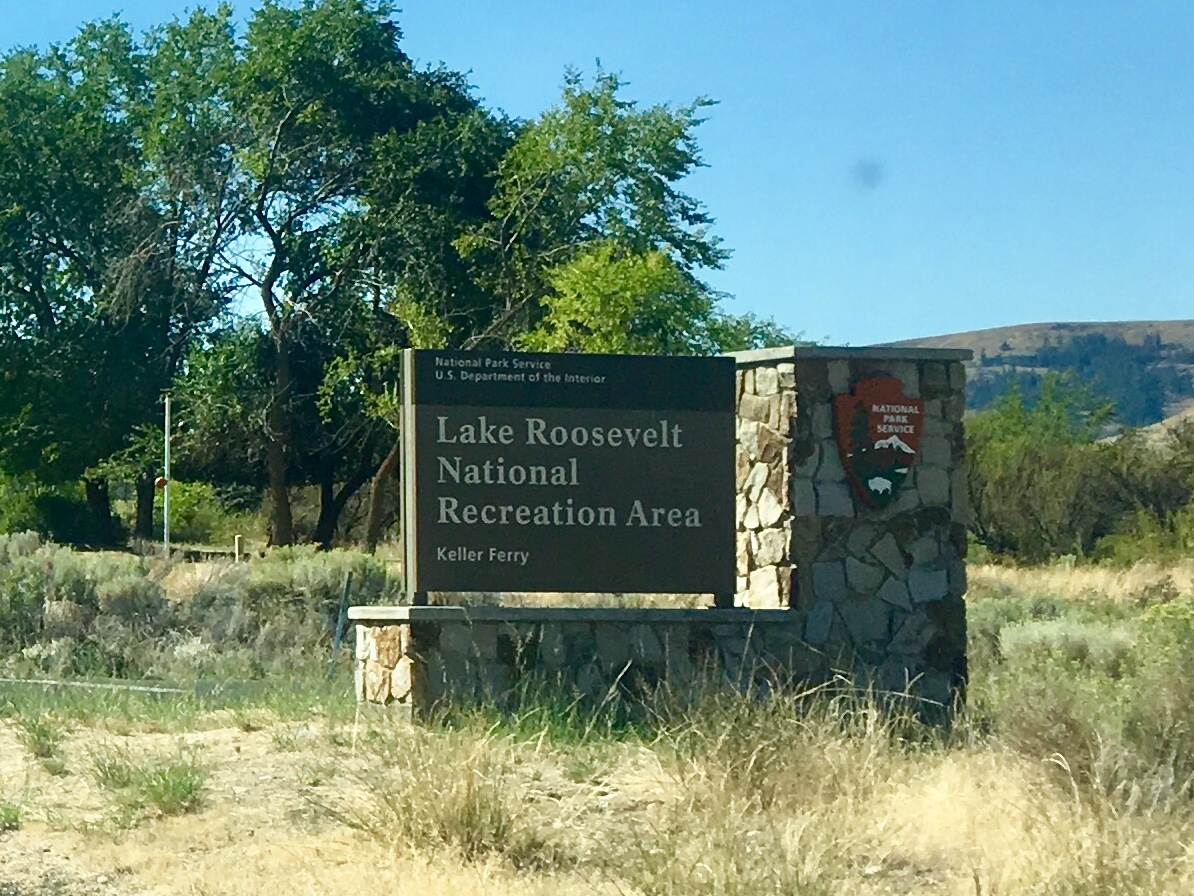
A steep downhill led to the small, free Keller ferry to cross the Columbia River. Leave it to us to go for another ferry ride in the middle of Washington State!
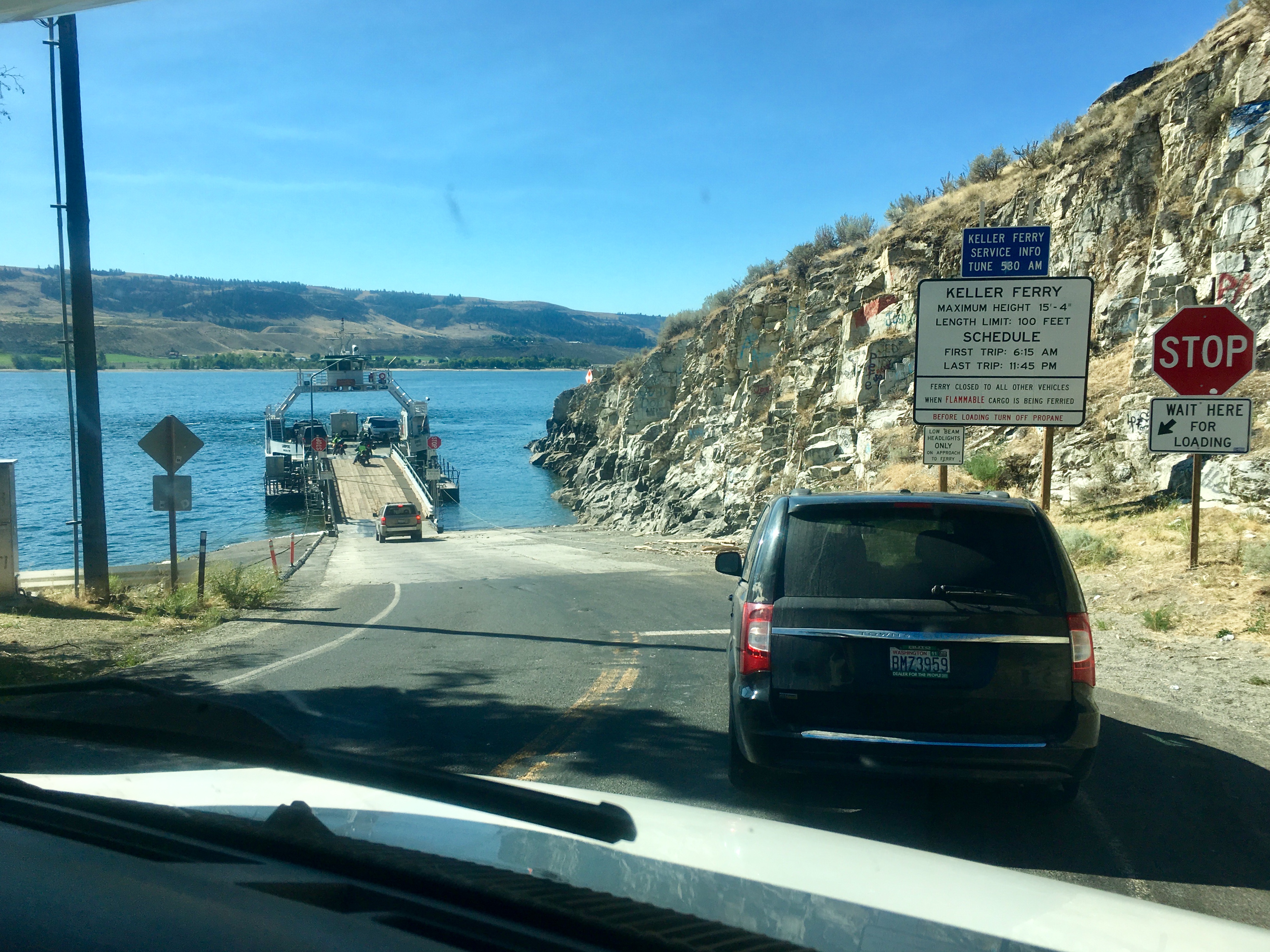
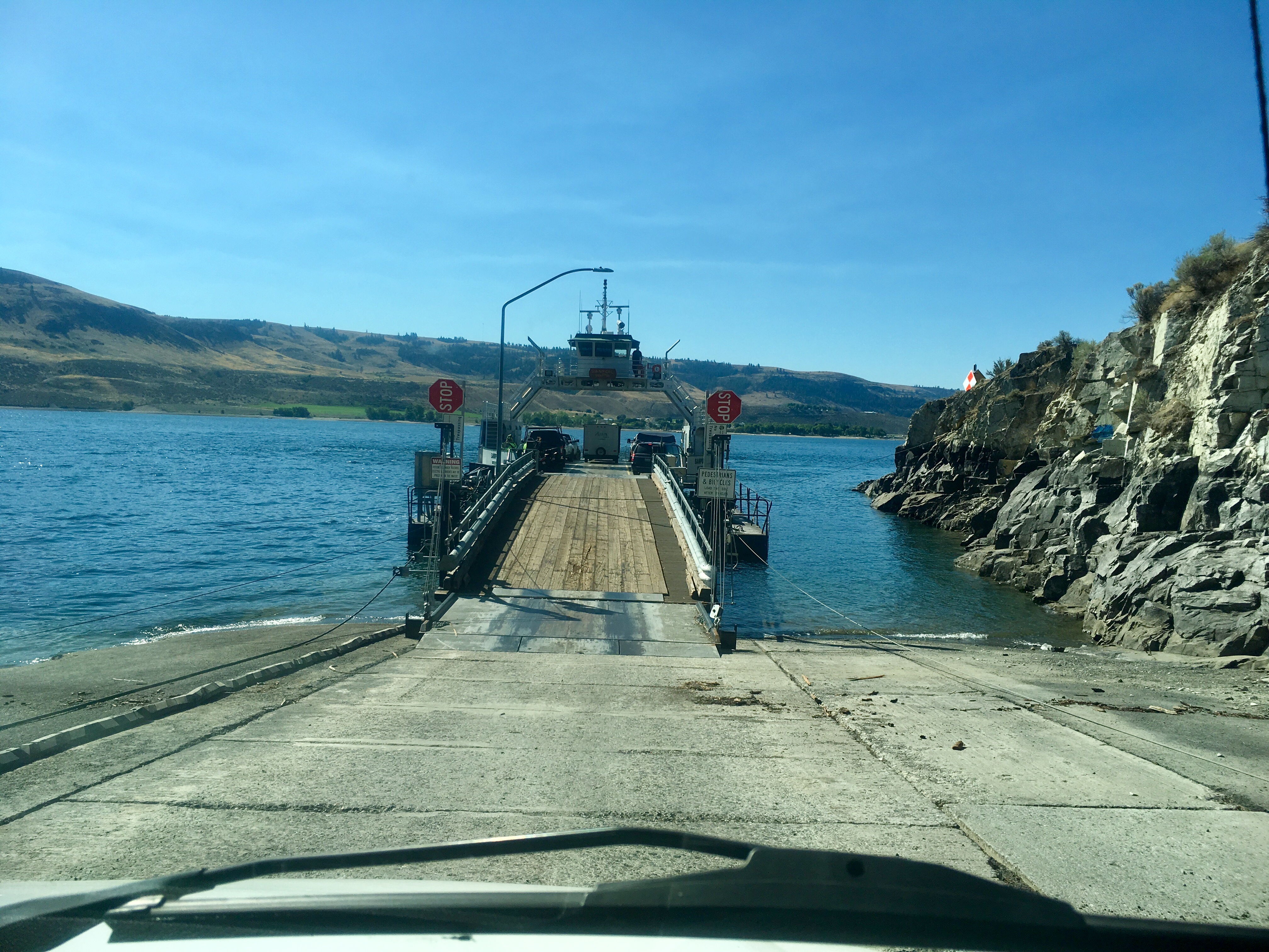
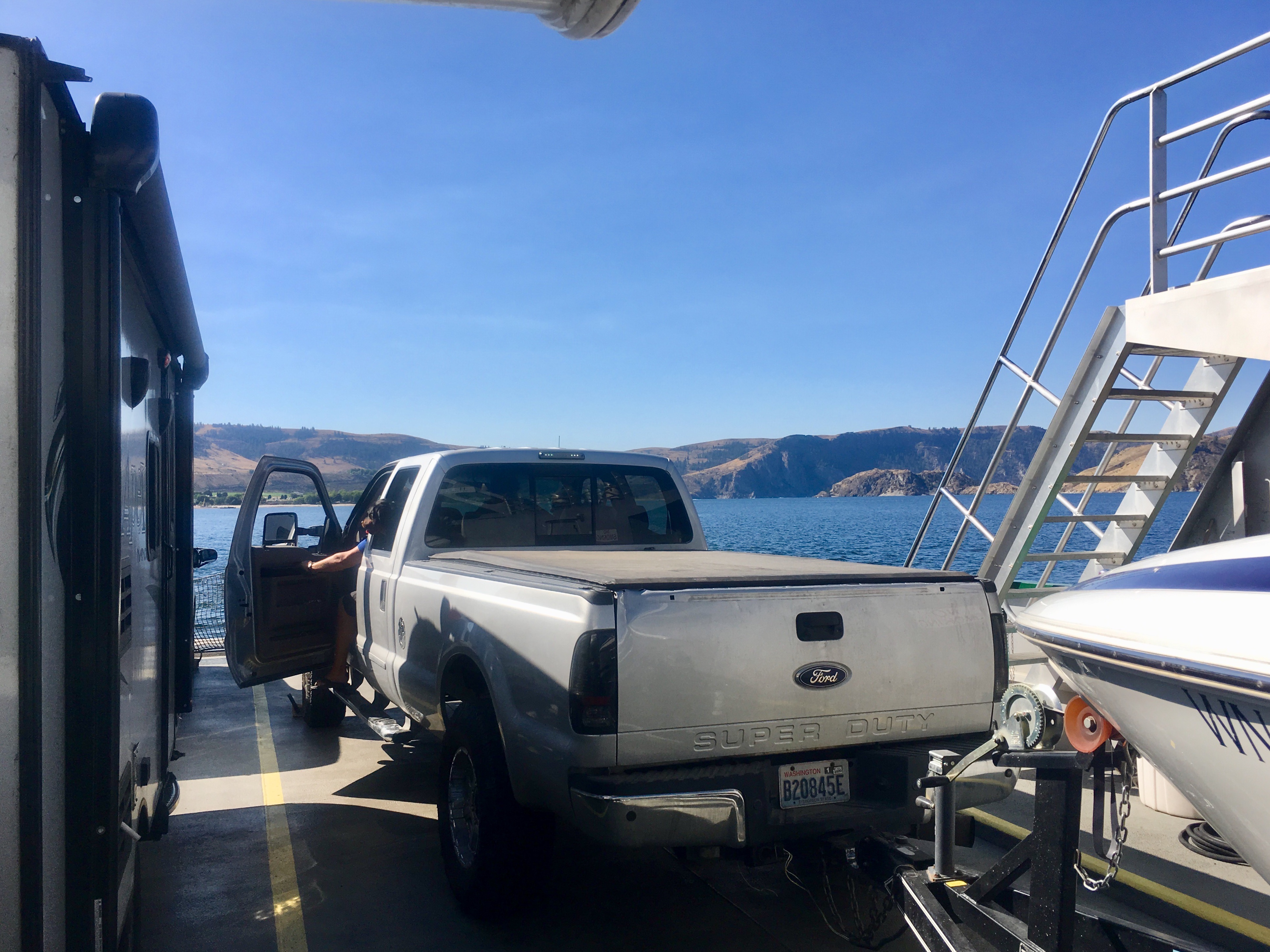
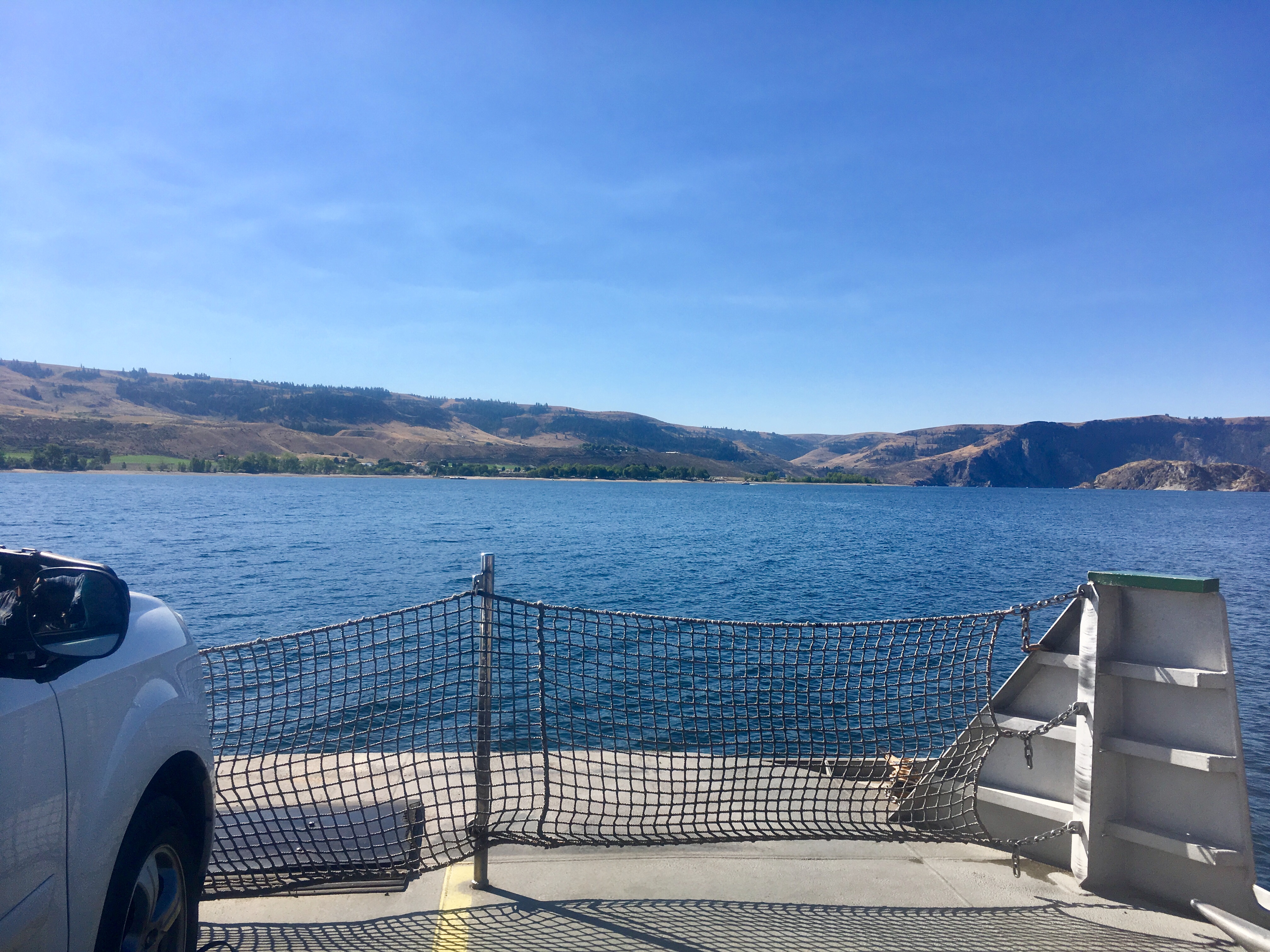
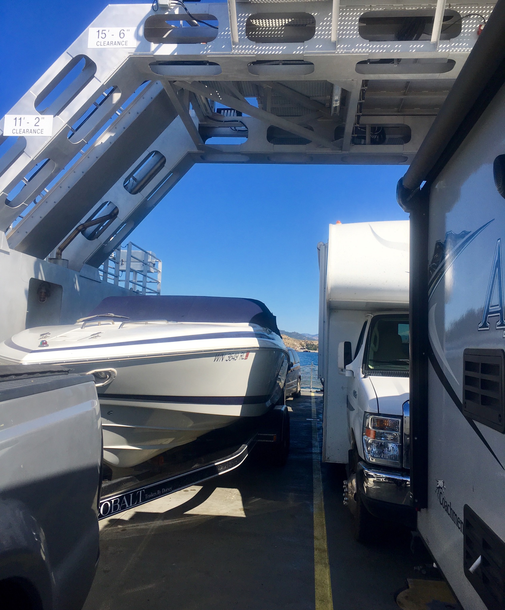
Packed in tight!
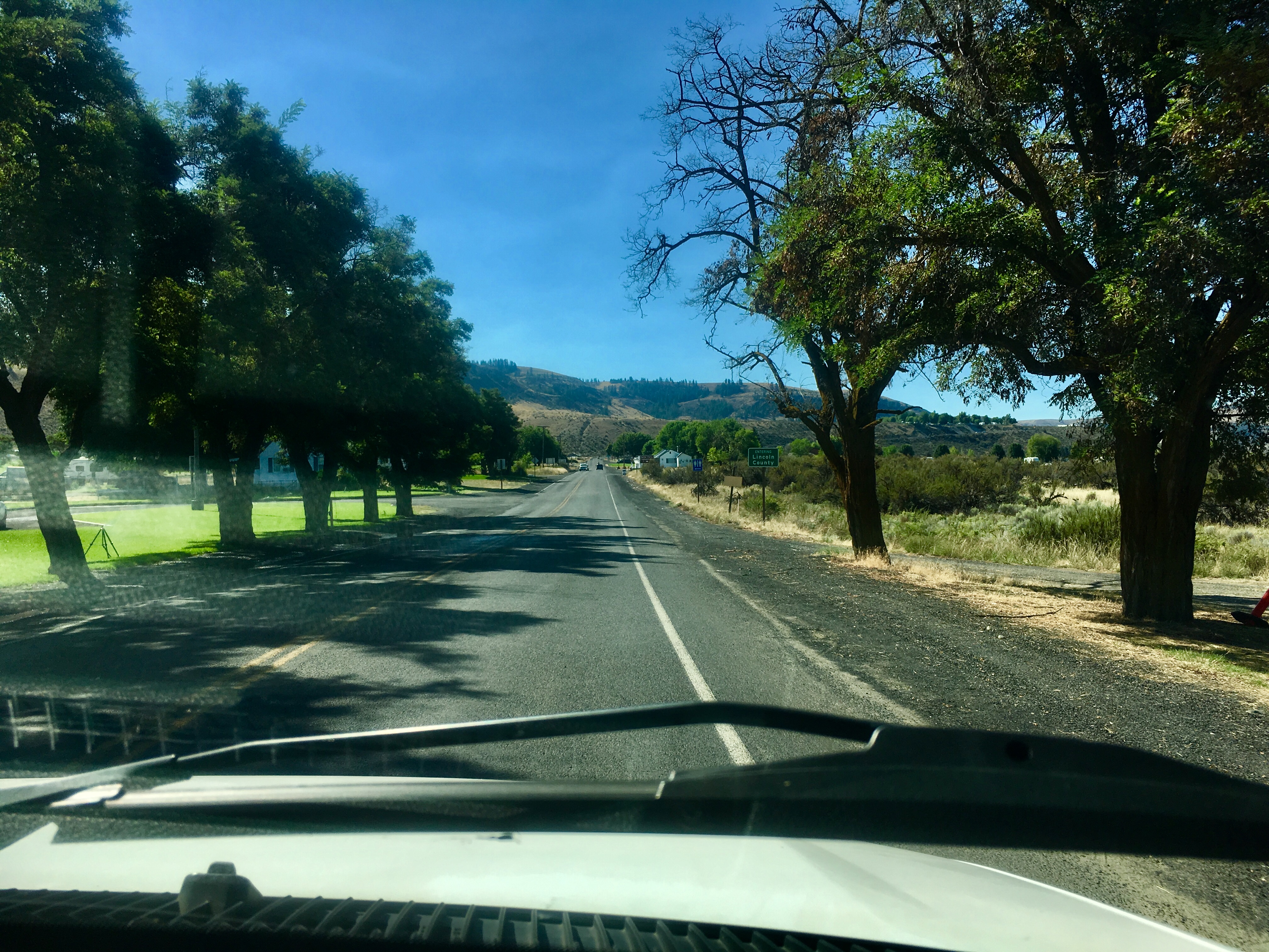
The road leading south from the river was just as steep or maybe steeper than the one leading down to it.
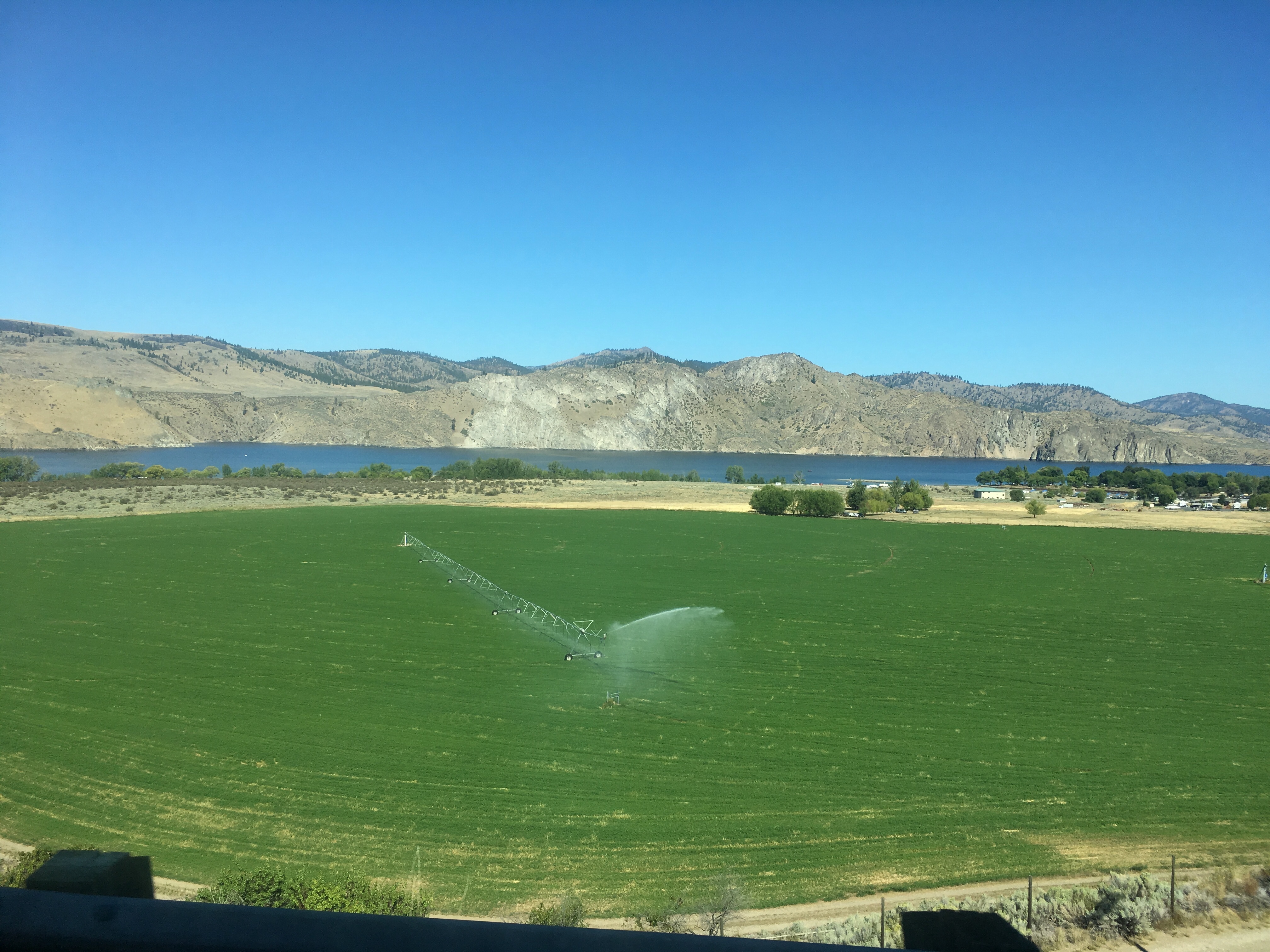
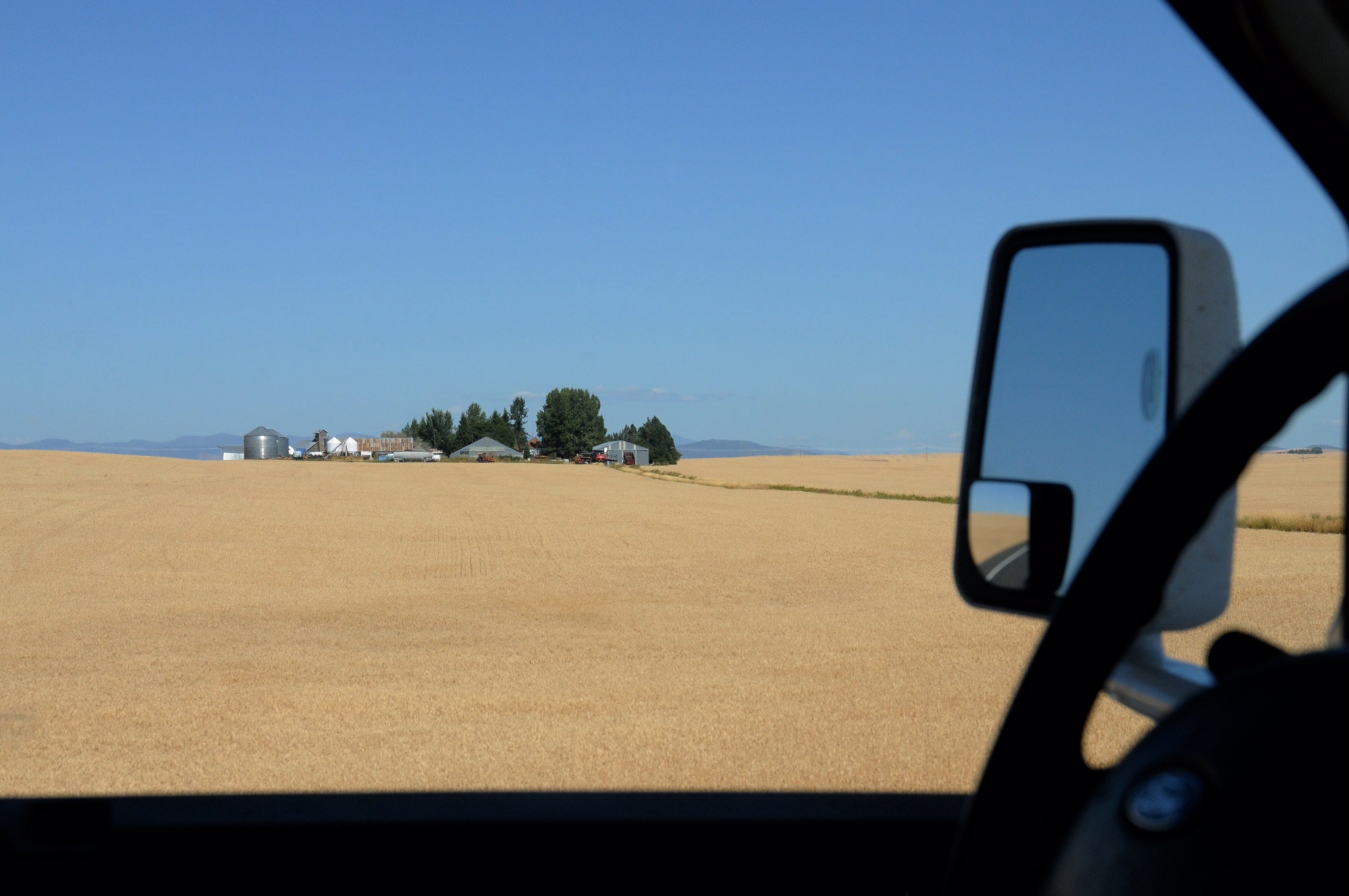
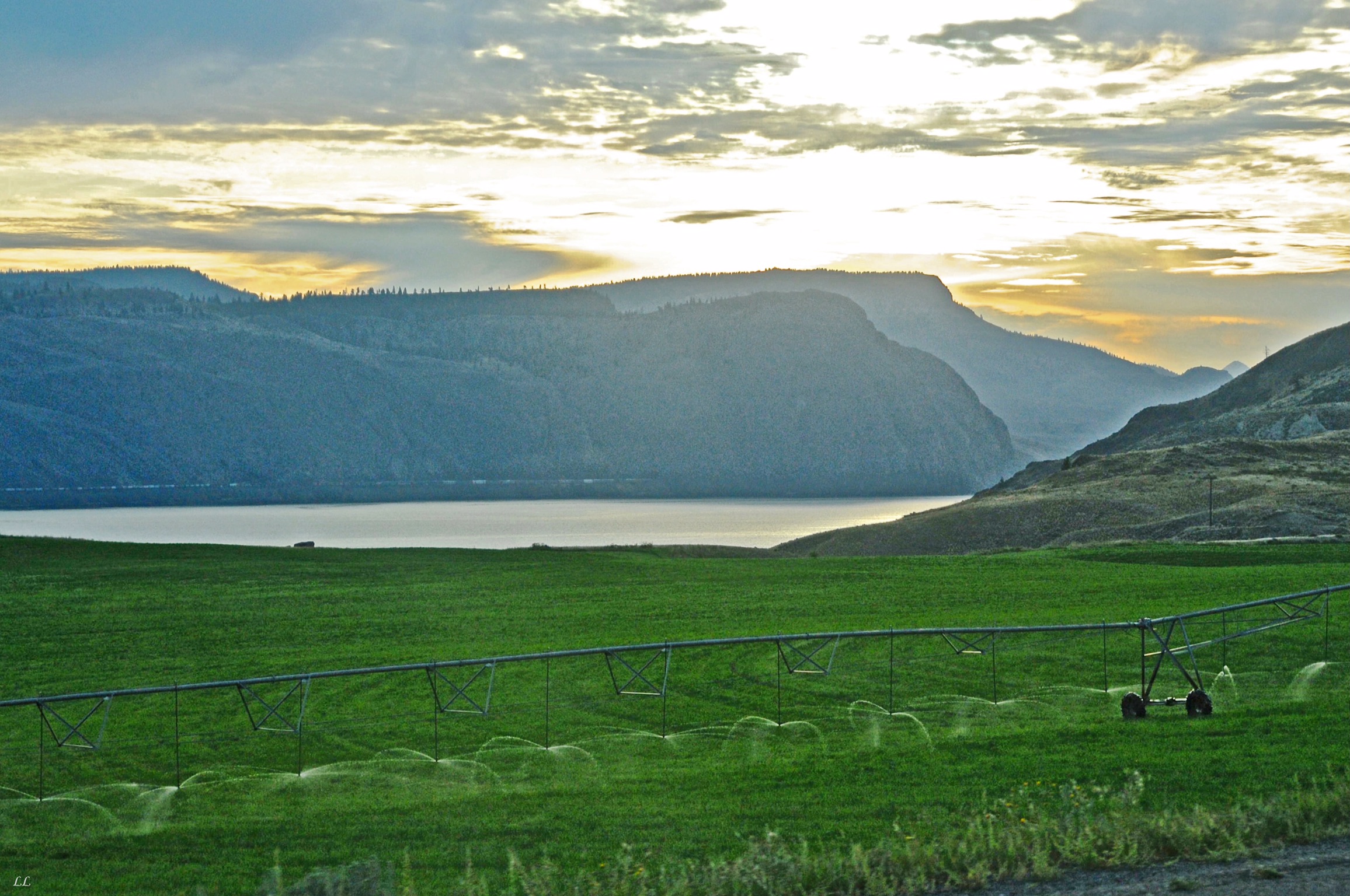
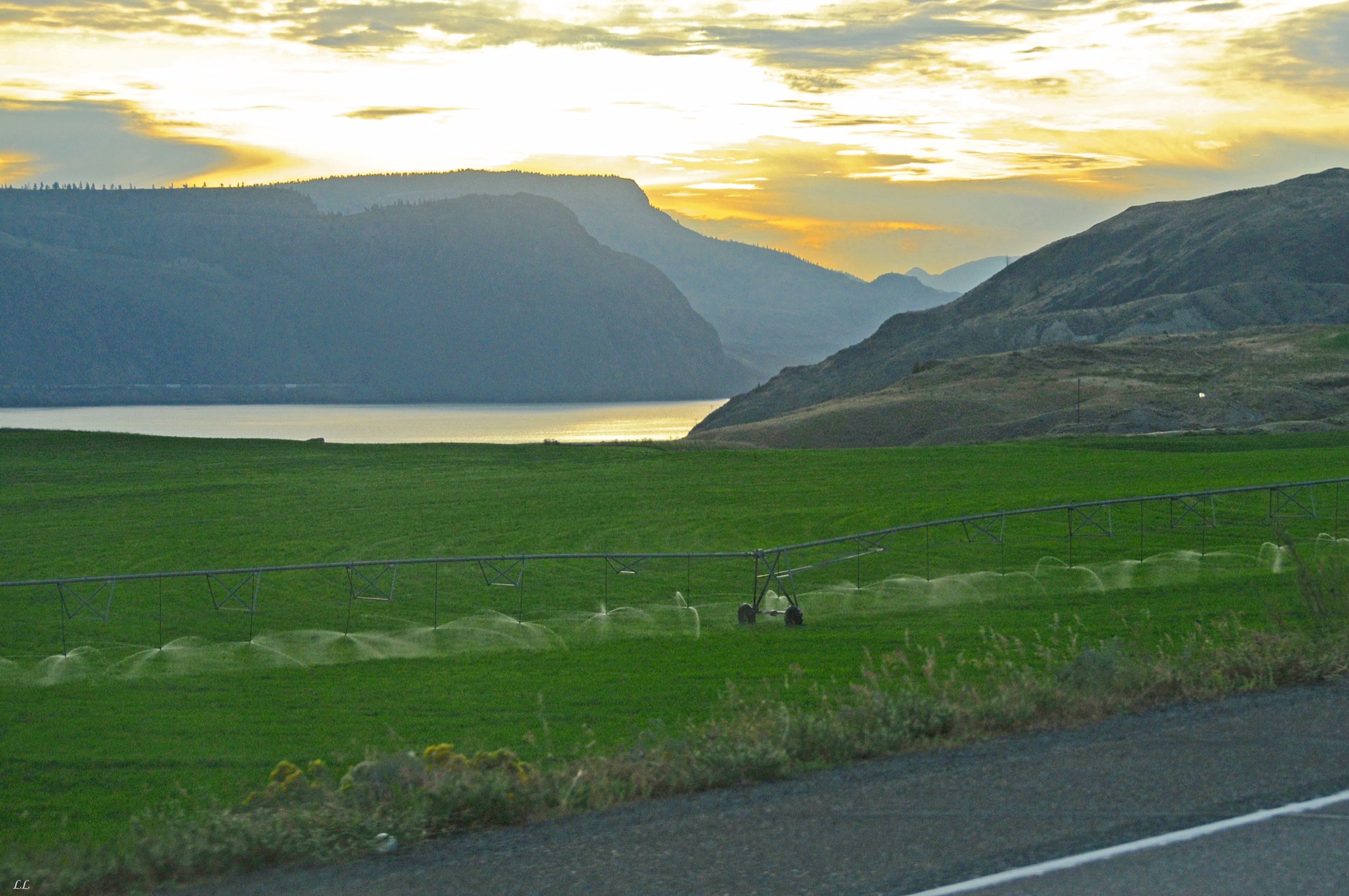
More irrigation. Everything in the region grows well, but only with a lot of help.
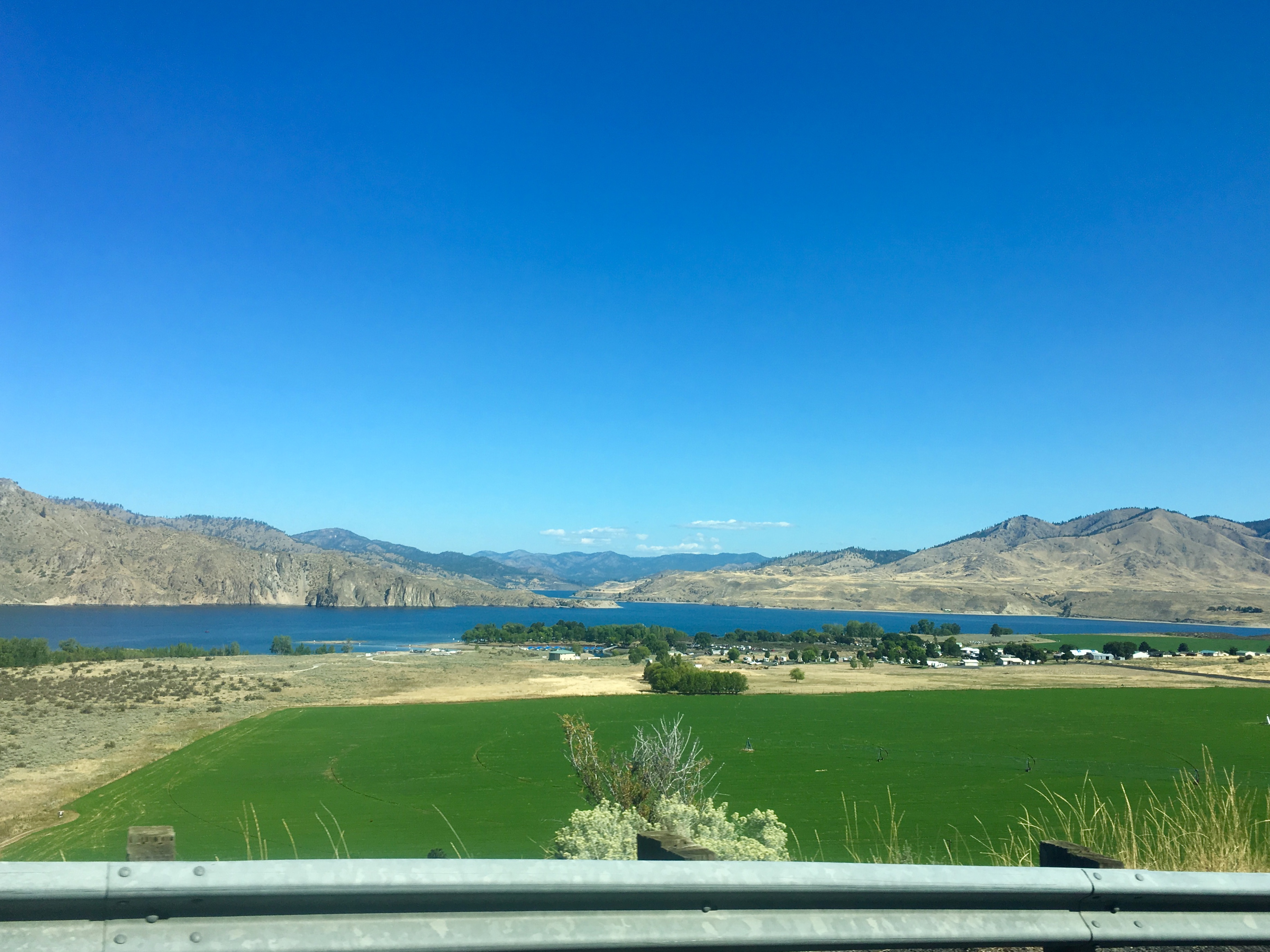
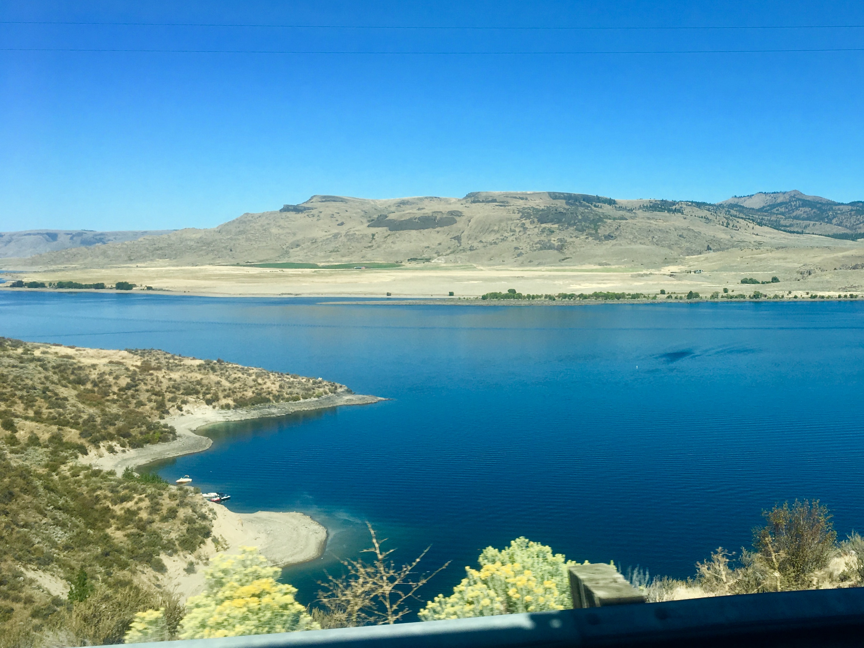
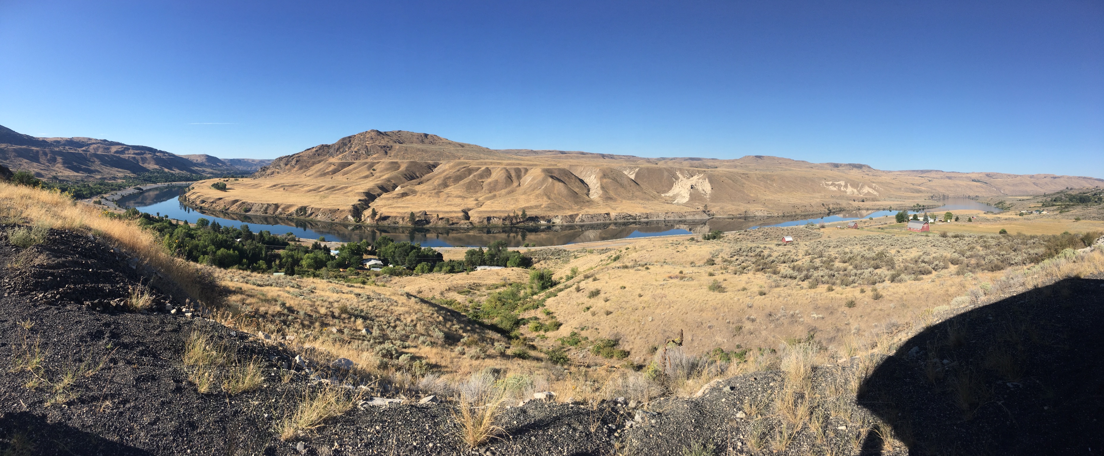
The view of Lake Roosevelt from partway up the climb out of the river gorge.
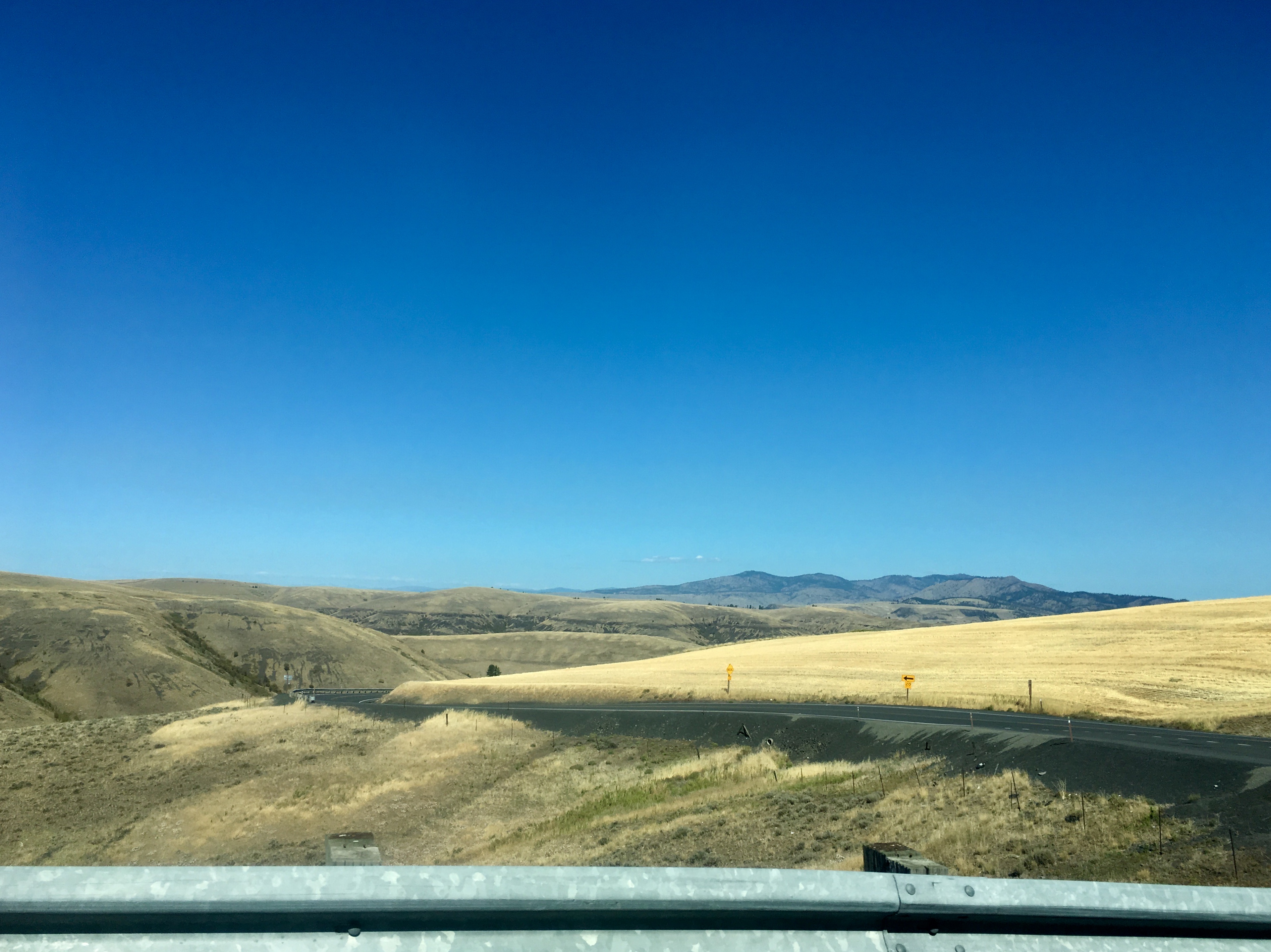
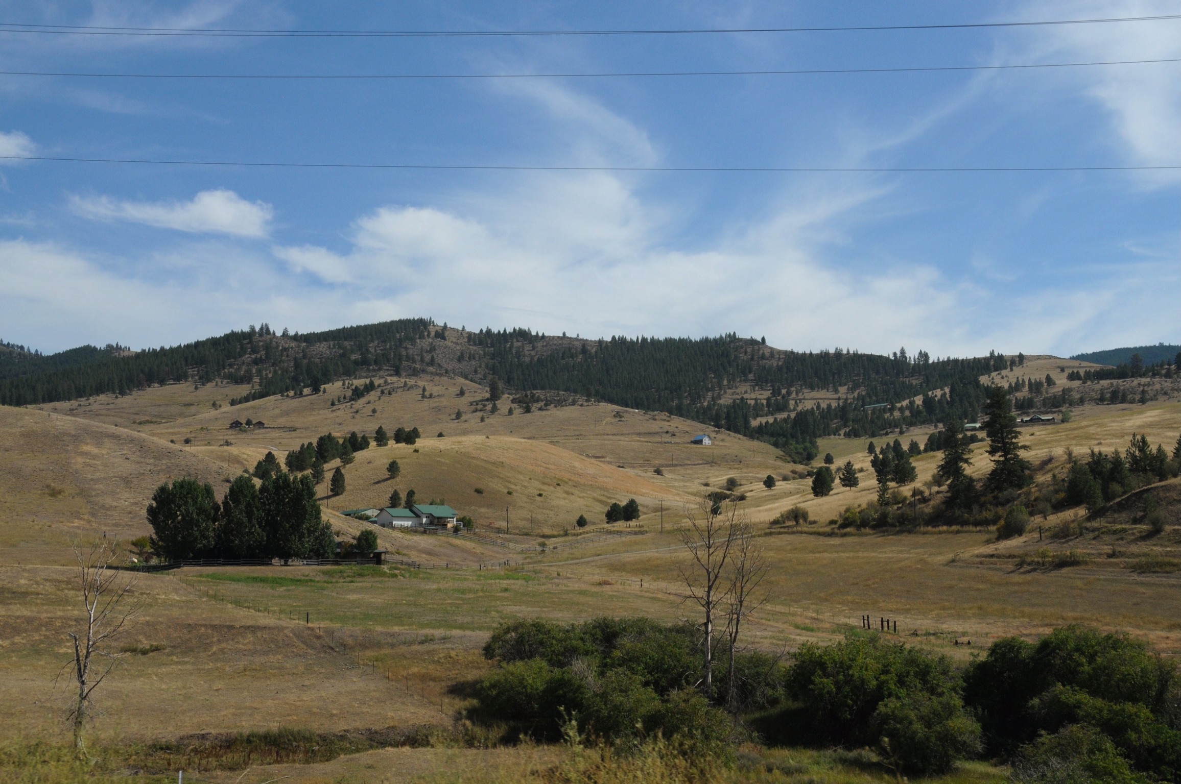
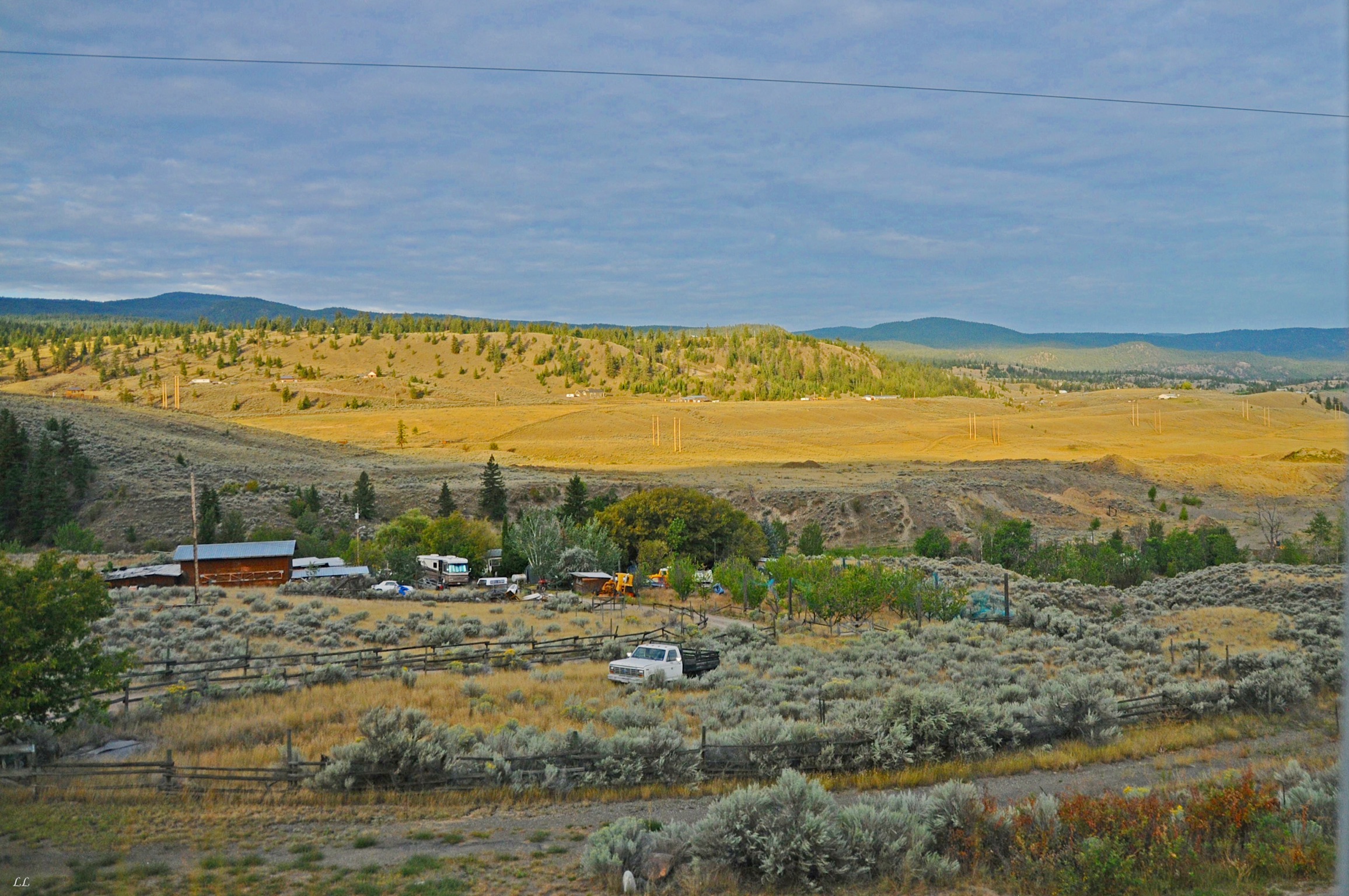
Once on top of the mesa leaving the river area, the landscape changed again. We were amazed at how many different types of landscapes we saw during our trip, ranging from dry and arid to lush and verdant. Out west, lots of climbs and descents. As we moved into the midwest, it turned flat.
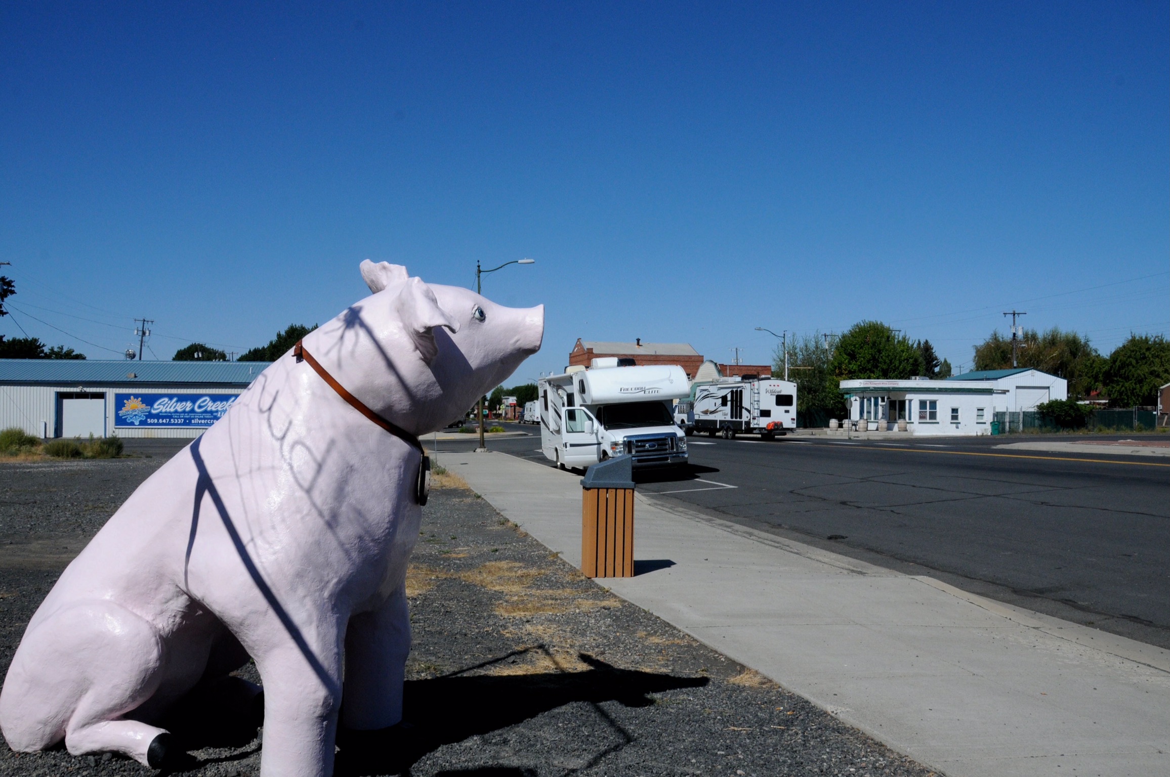
We couldn’t resist taking a picture of the larger than life Wilbur the pig standing watch over Main Street in Wilbur, Washington.

Hmm. Wonder how he gets that boat on and off the trailer? Or does the trailer have to come down first? The sign in the window of the truck listed a welding business, so our guess is that he built the rig himself.
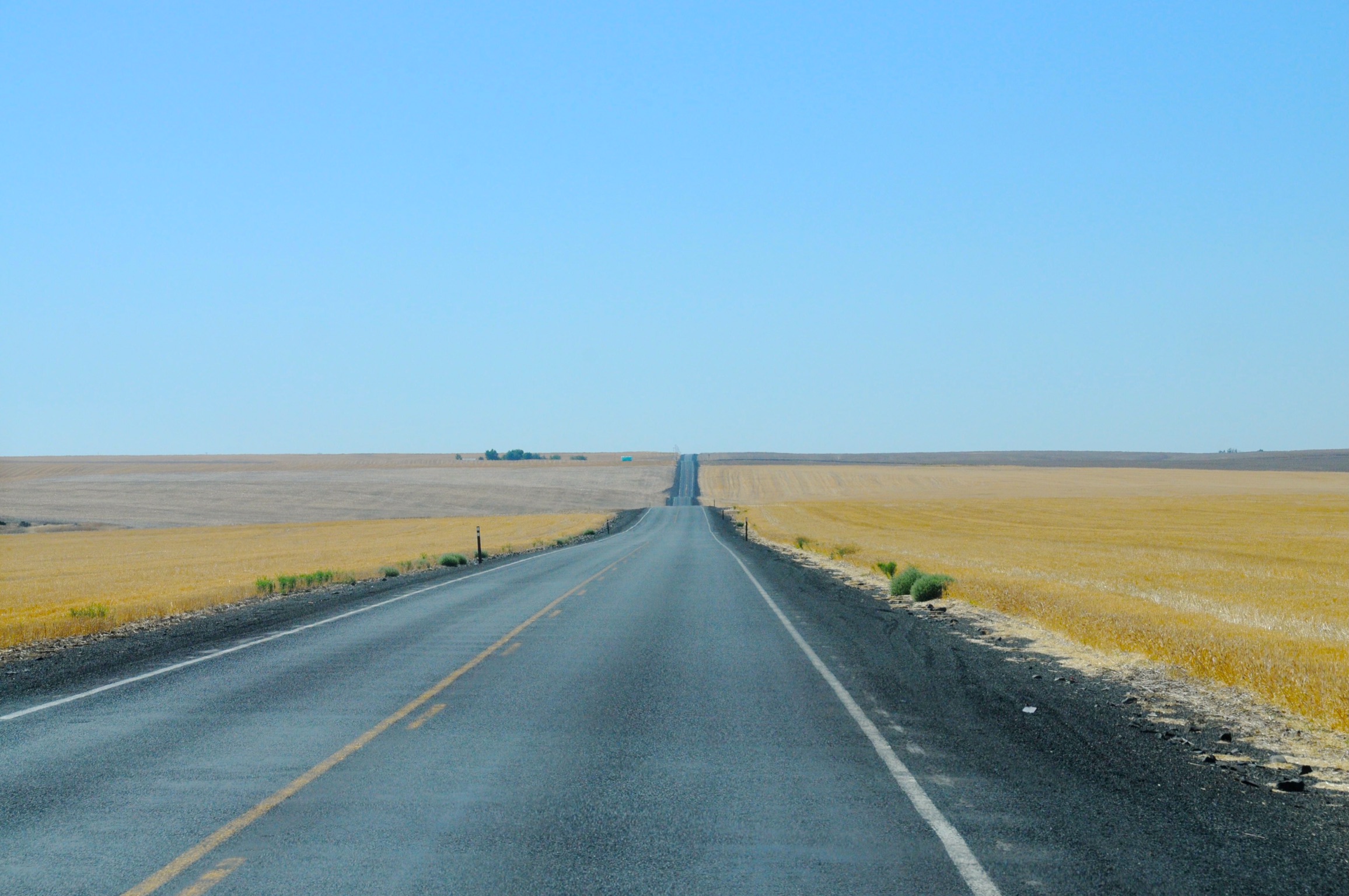
Amber waves of grain! We saw miles of fields just like this.
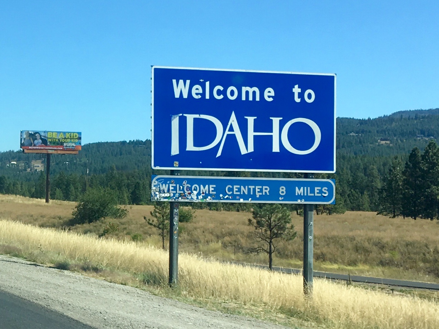
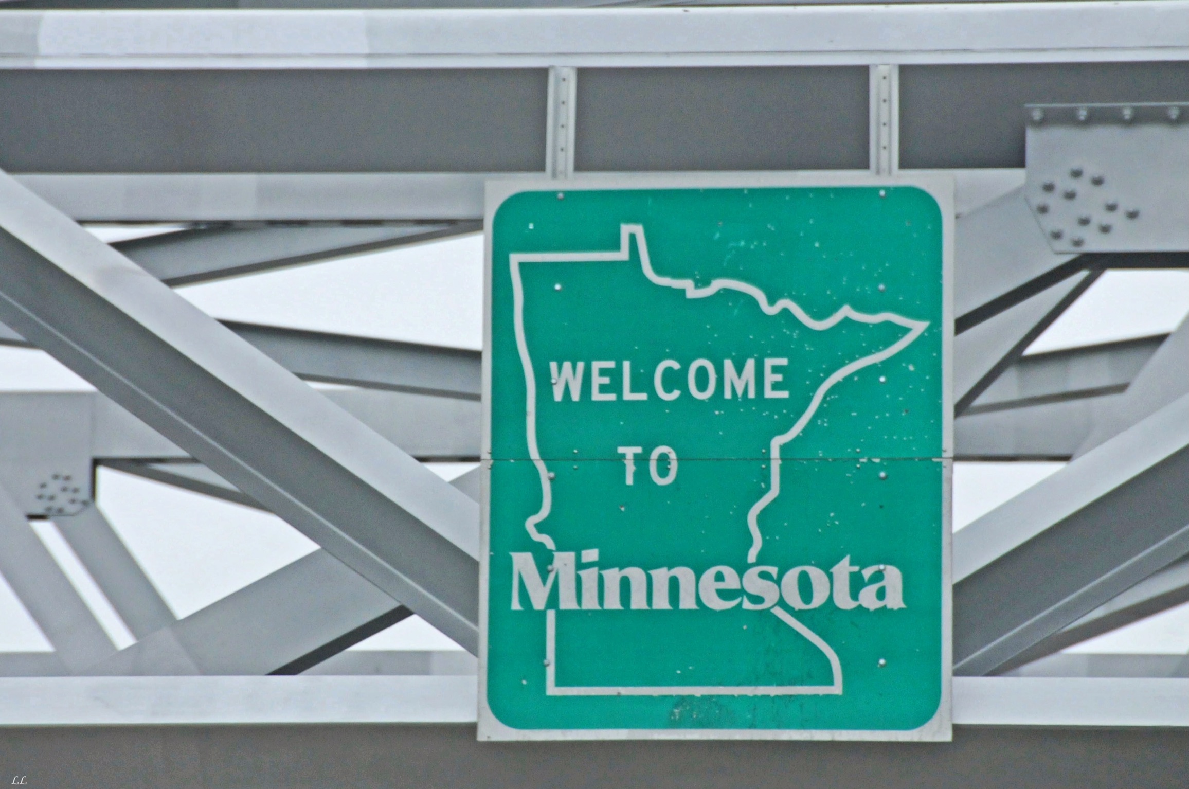
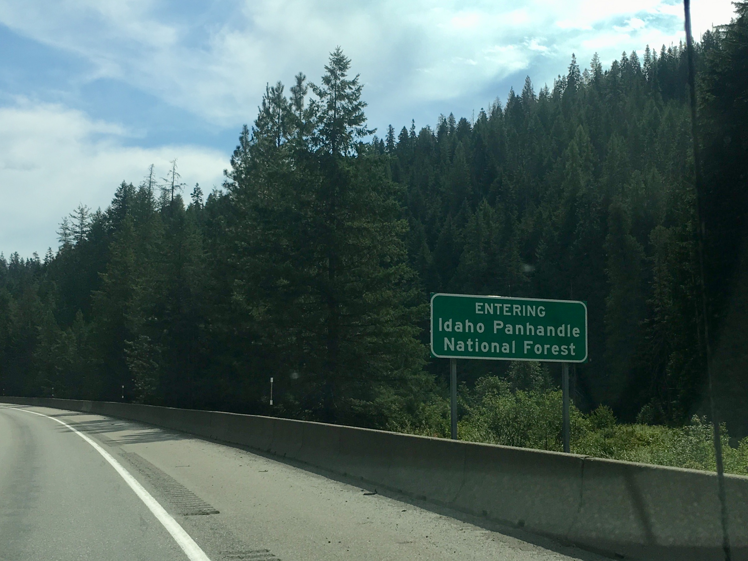
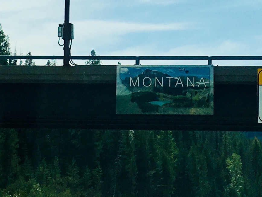
Another state checked off – out of Washington and into Idaho.

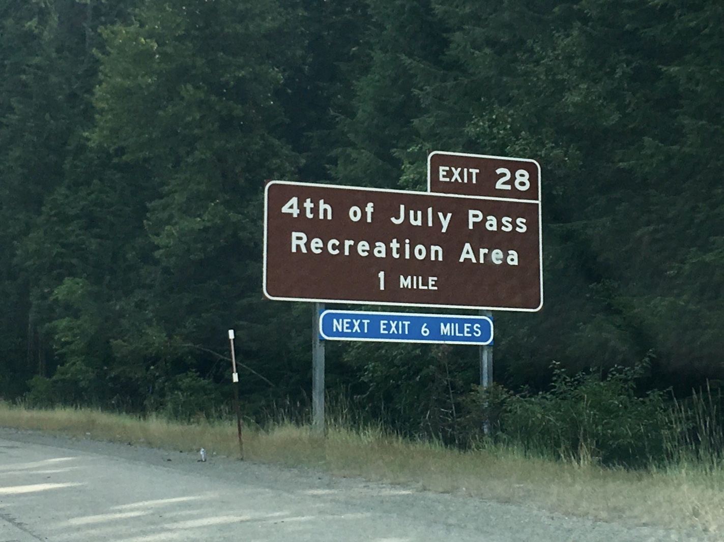
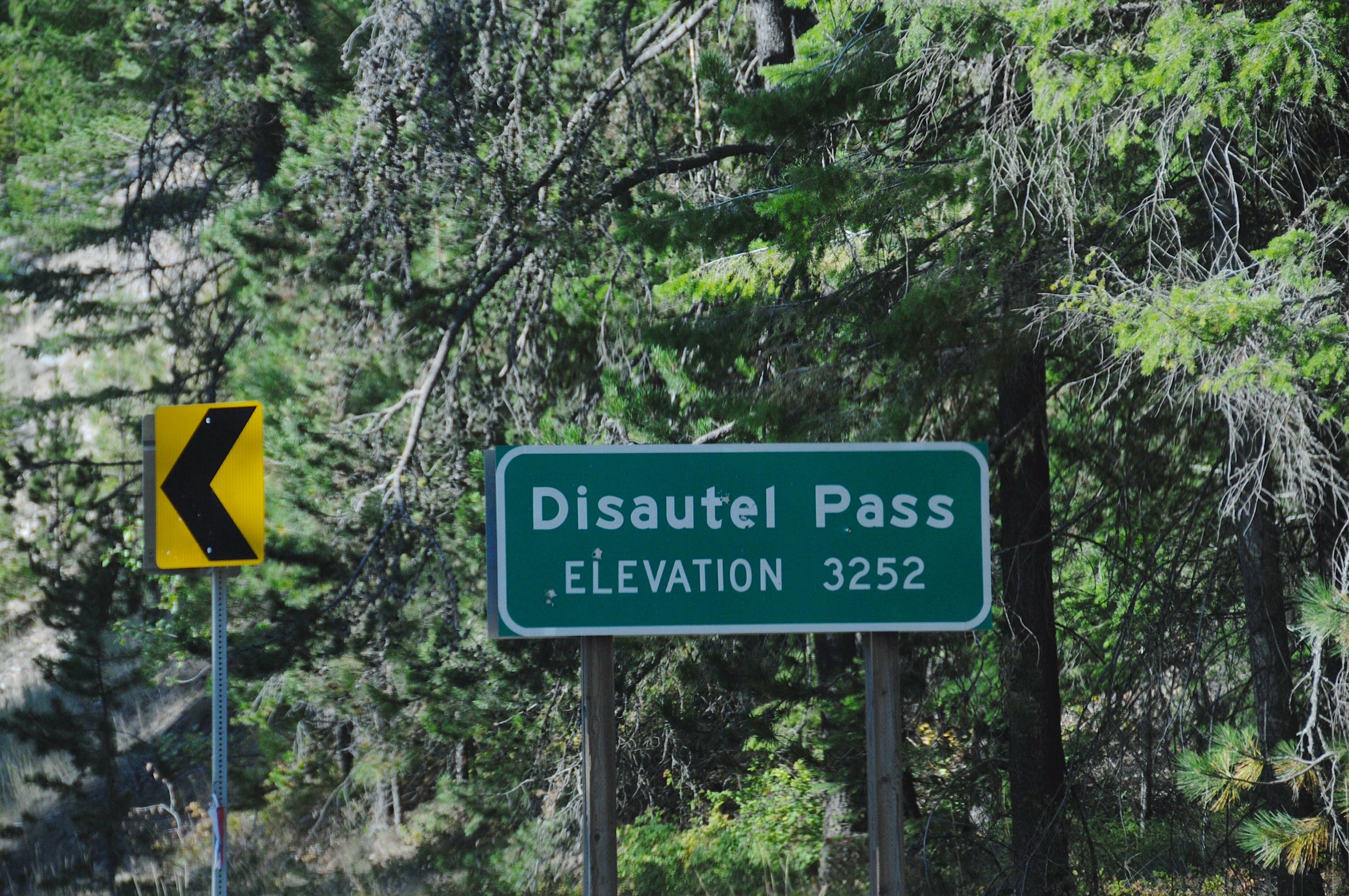
A very cool name for a mountain pass. We’re guessing they have a great July 4th celebration.


Out west, the roads are more open, the speed limits much higher and the trucks a lot longer! Just how does the driver look in the mirrors and know when the truck is safely past someone?
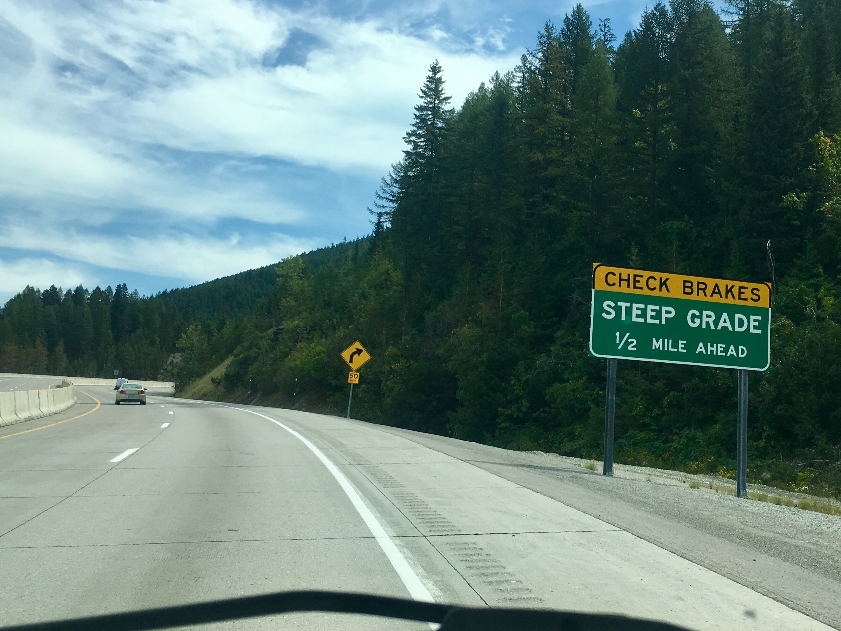
We never liked to see the “check brakes” notice on the signs. Although it’s better going down than up, maybe.
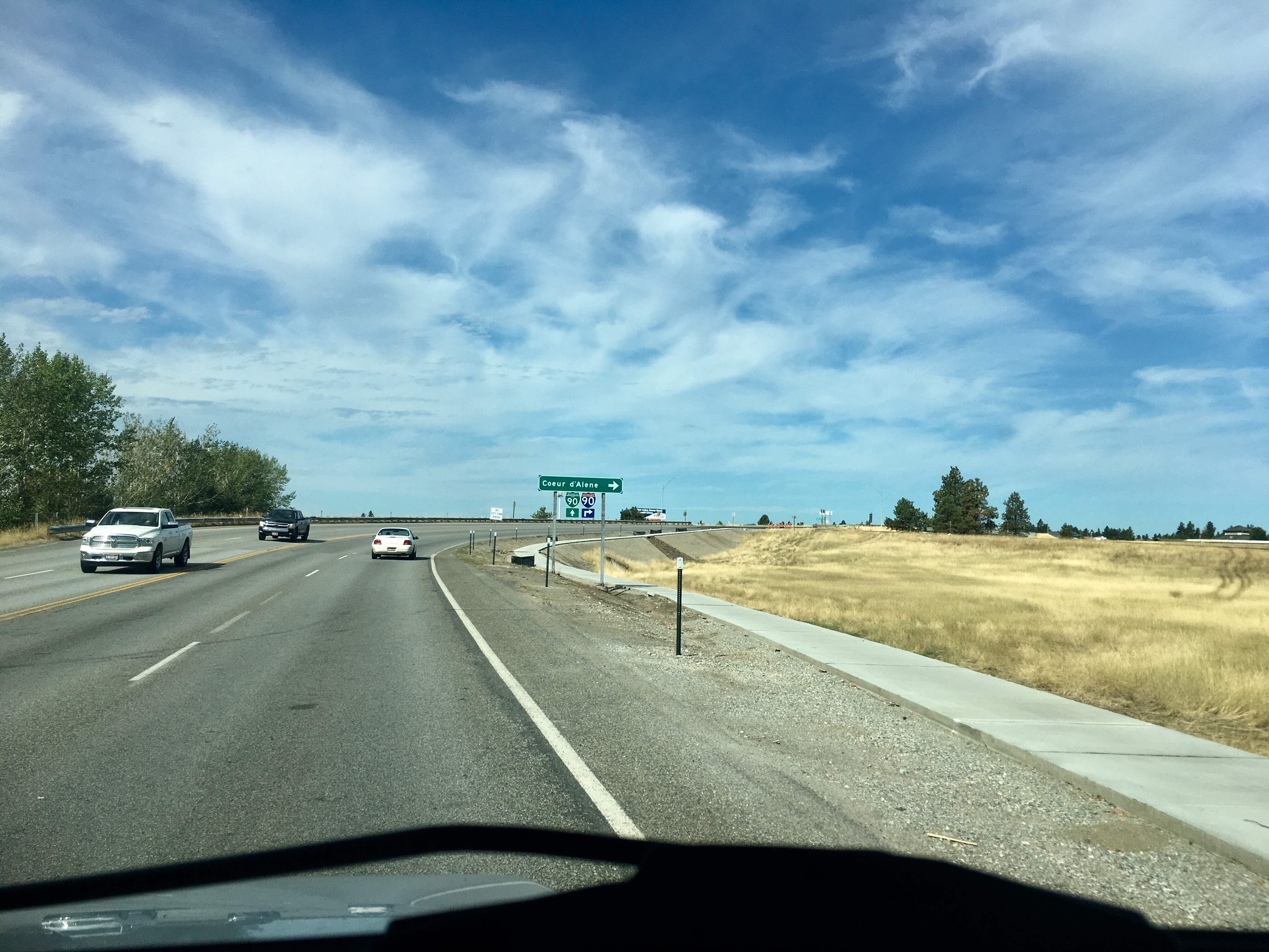
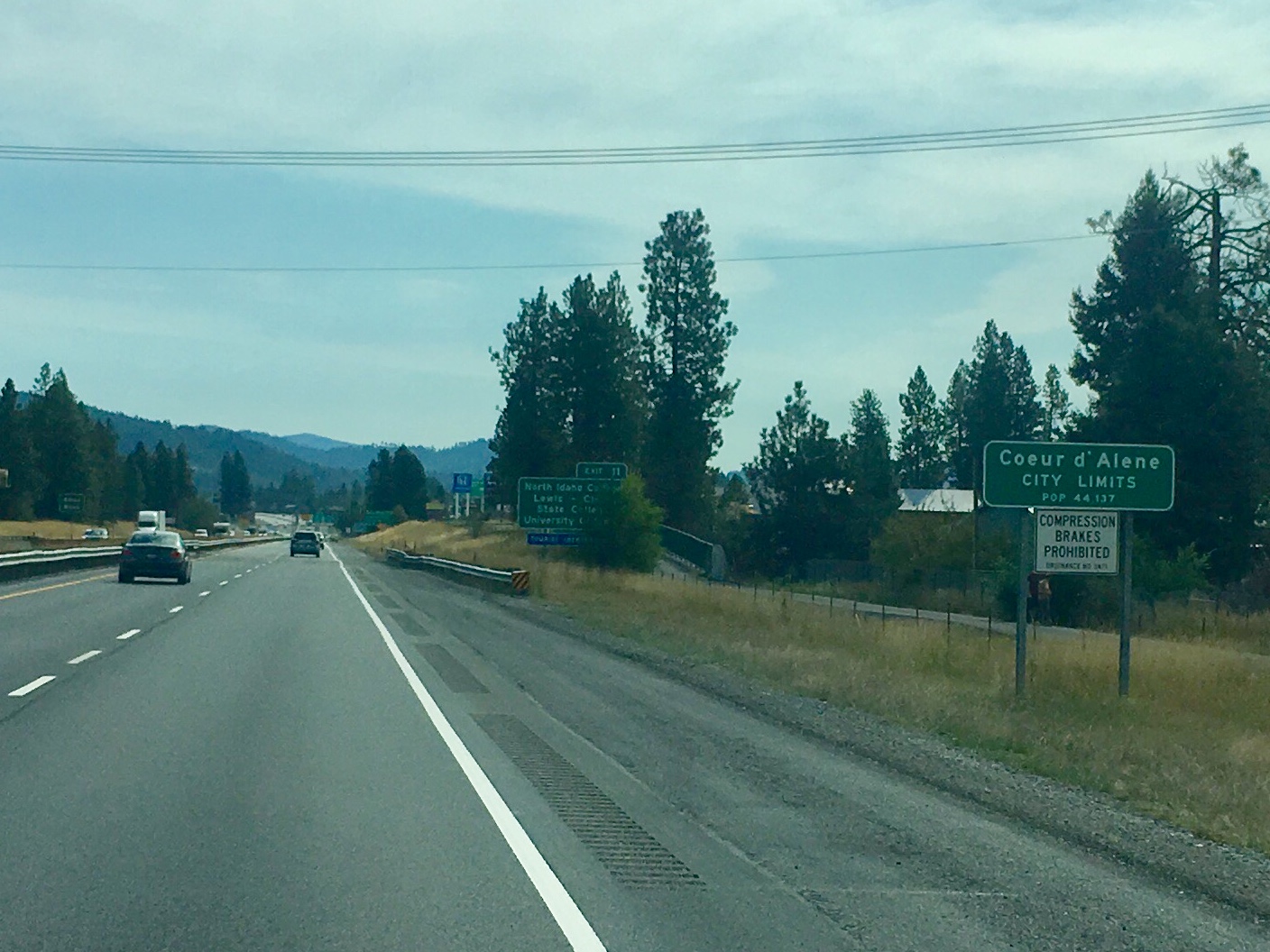
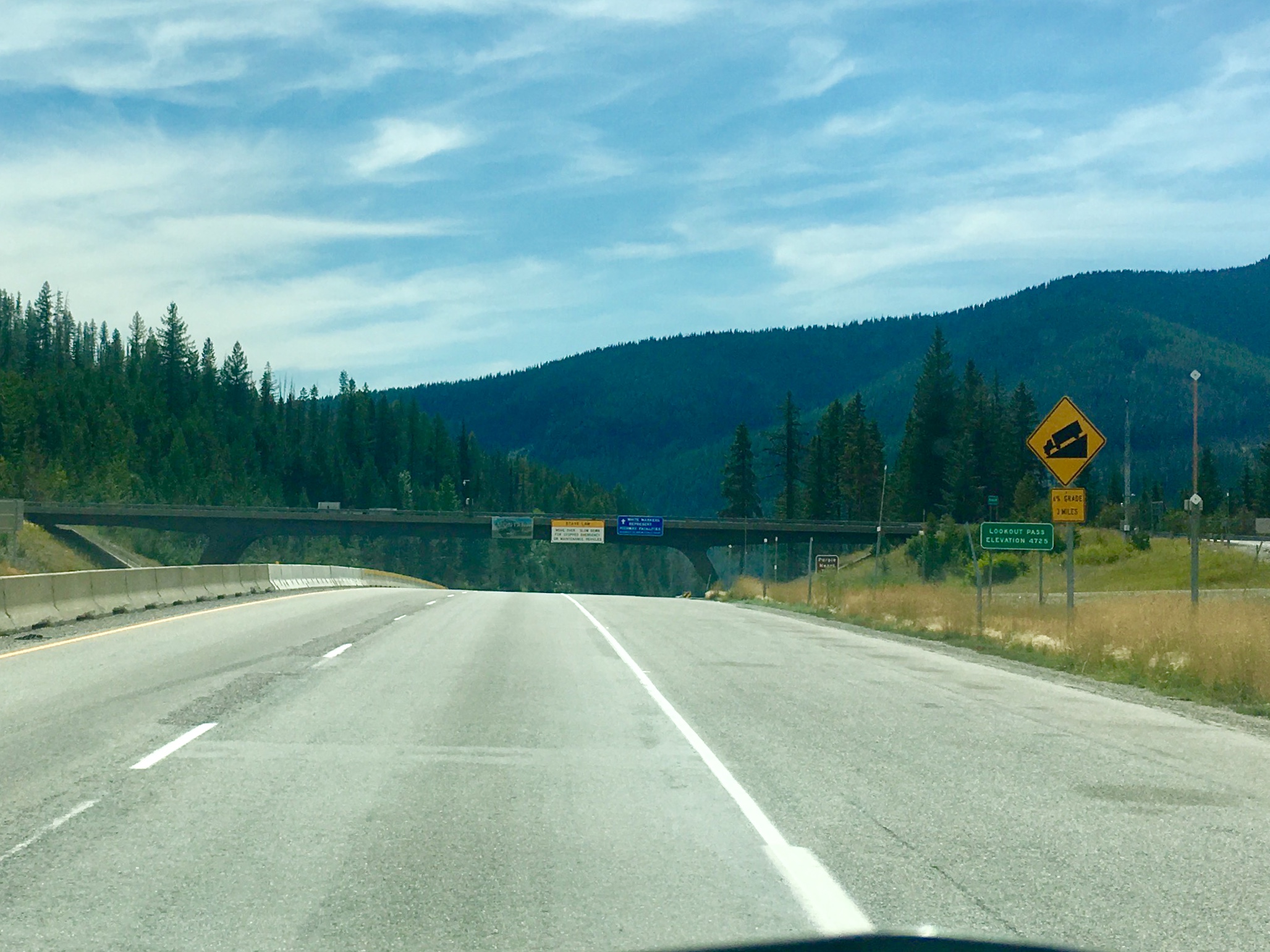
The northern neck of Idaho is pretty thin between Washington and Montana.
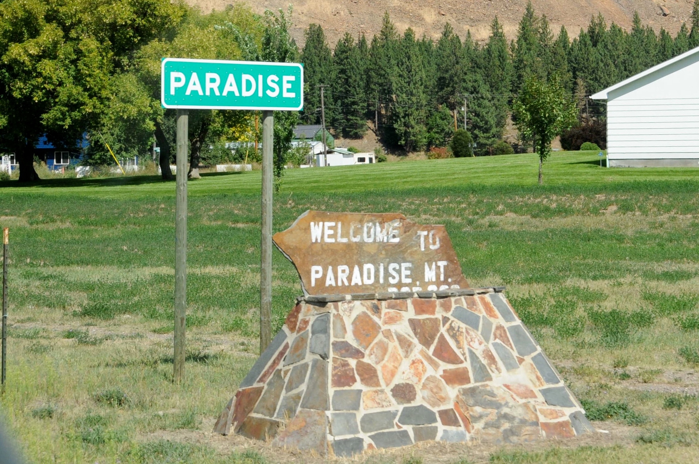
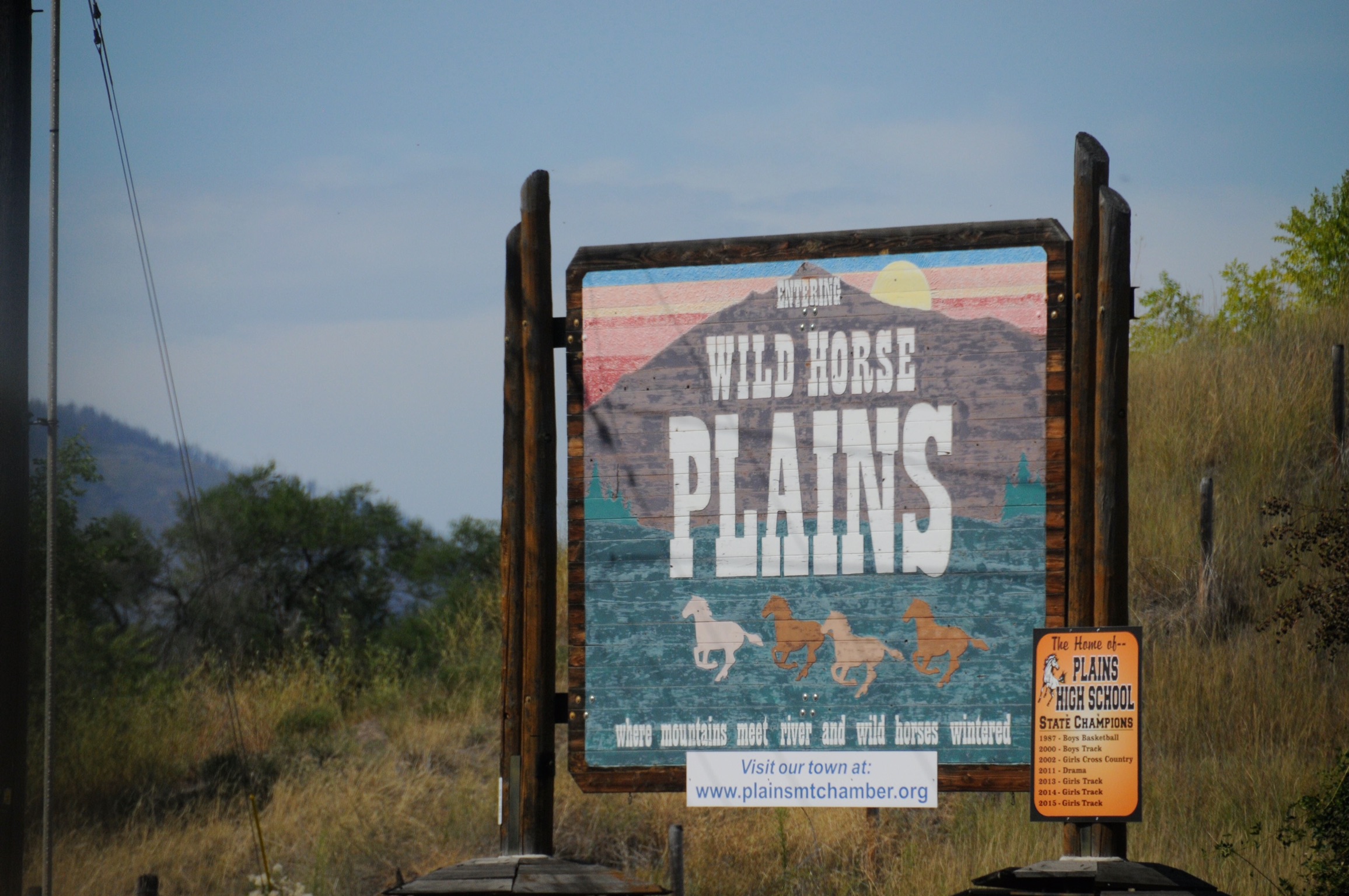
What a great name for a town!
Paradise has a church – a very photogenic one.
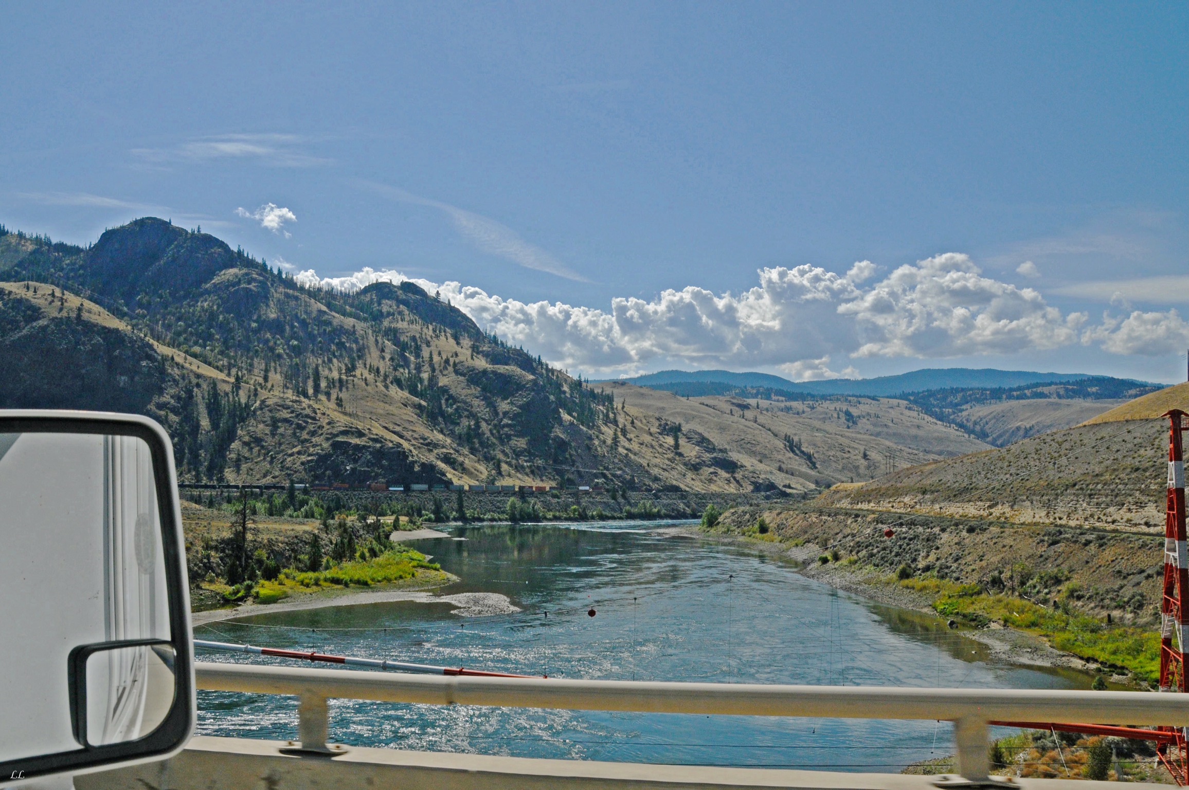
Off the mesa and back into mountains. Notice the train track running alongside the road. We never could escape the trains!
Just a reminder that we’re in the west! It’s actually the name of a small (very small) town in Montana.
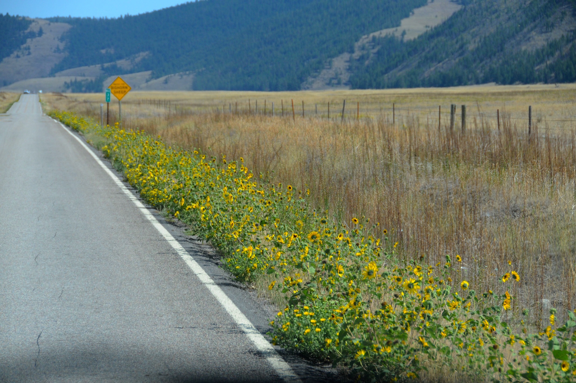
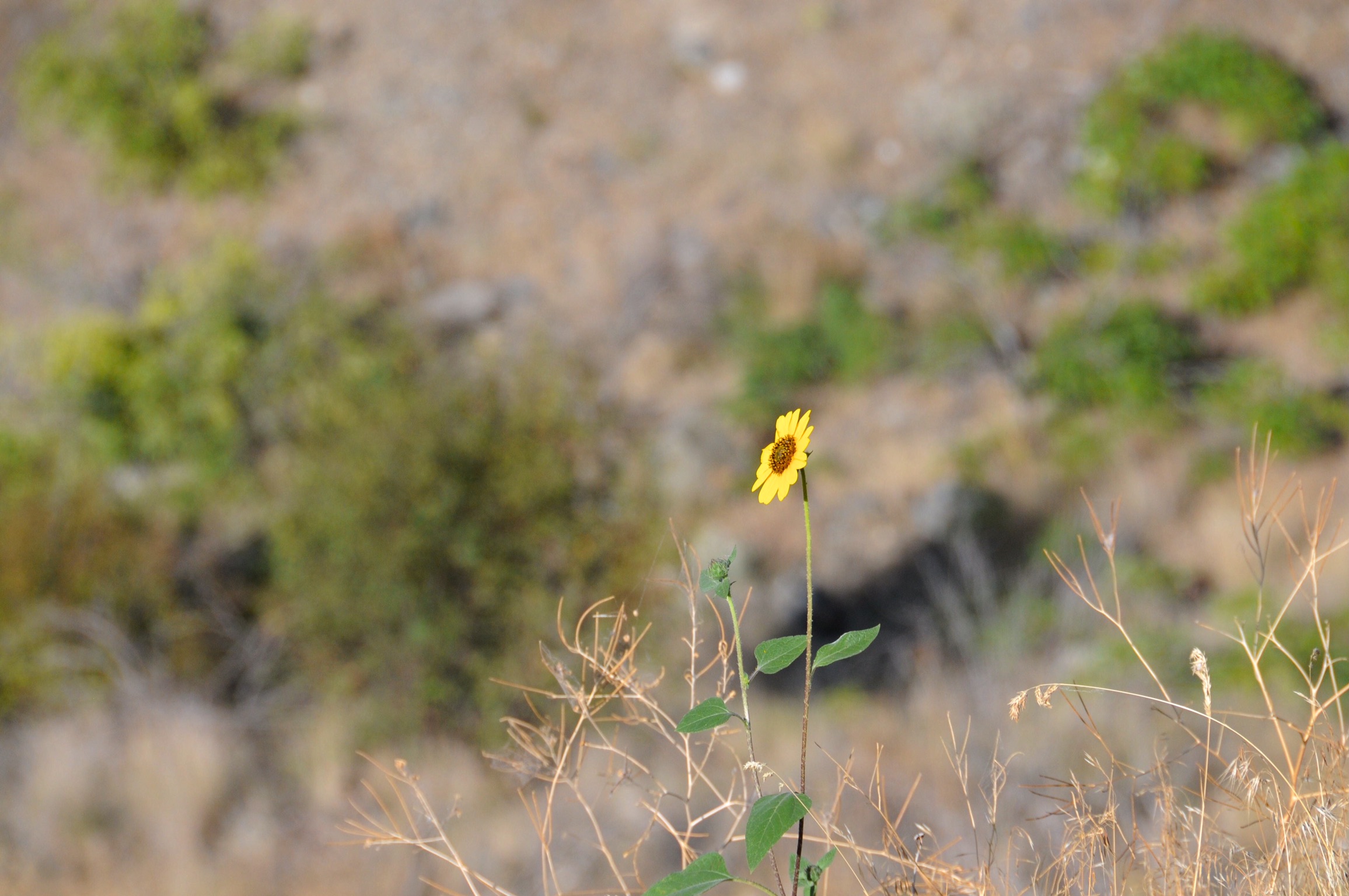
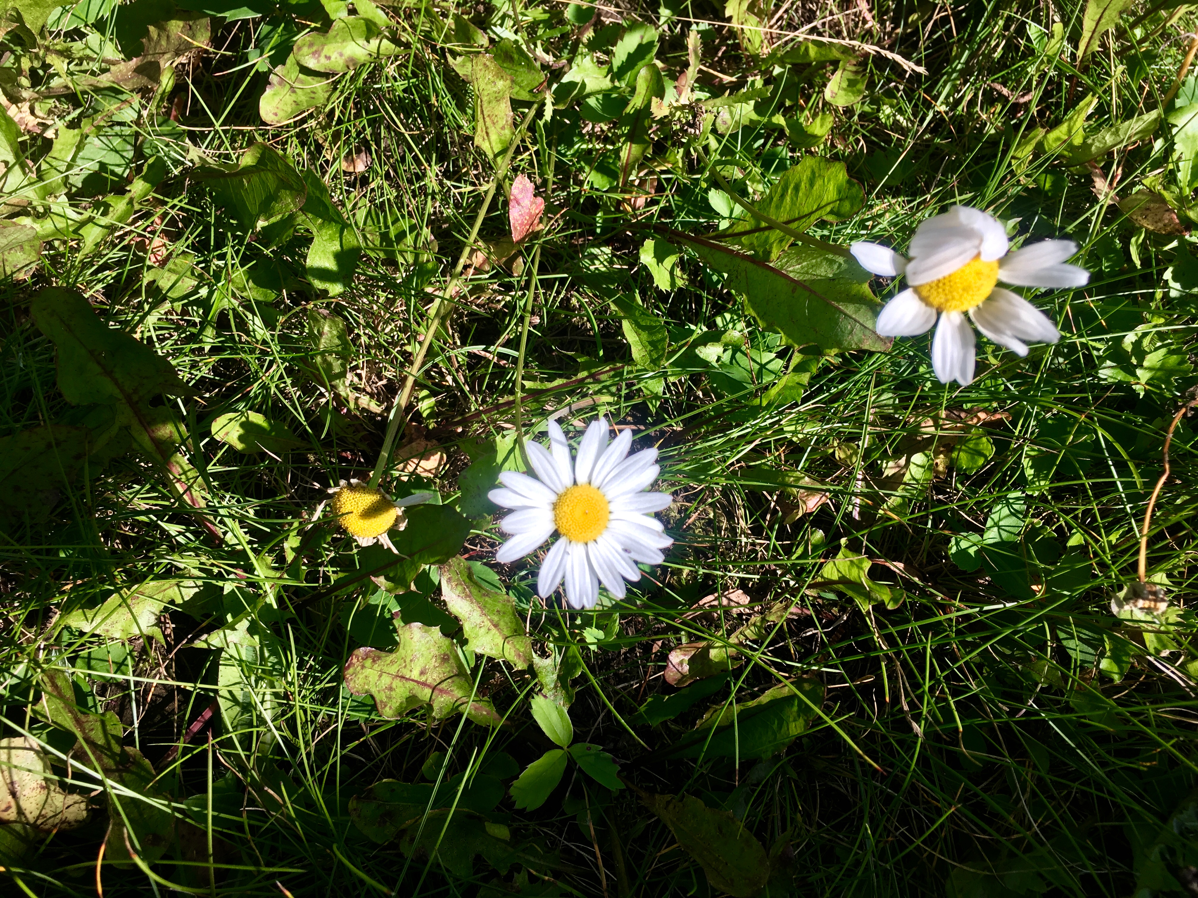
Wildflowers are always pretty. It’s like God decided to put a little color into the landscape every once in a while just to add a touch of beauty.

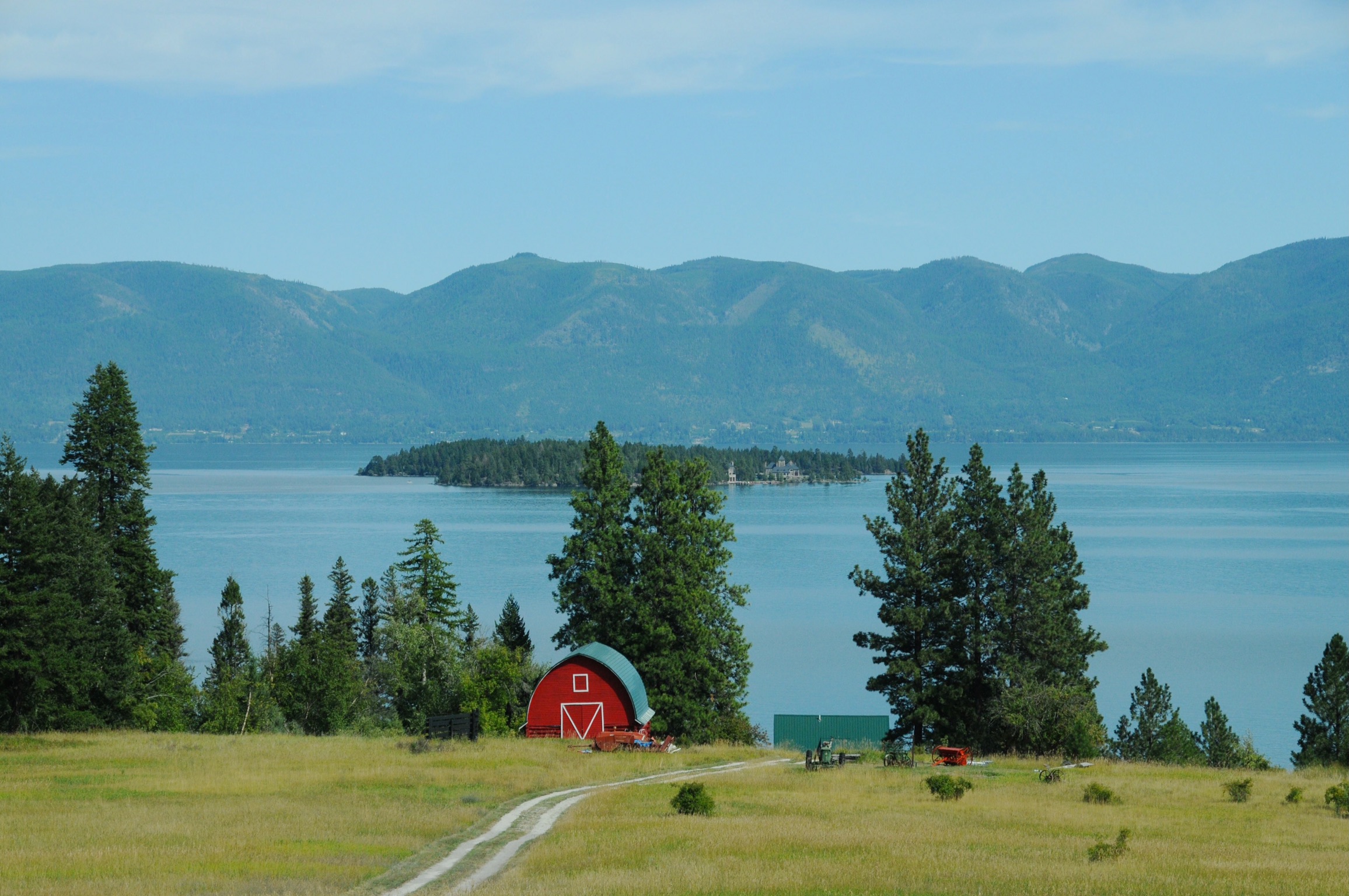
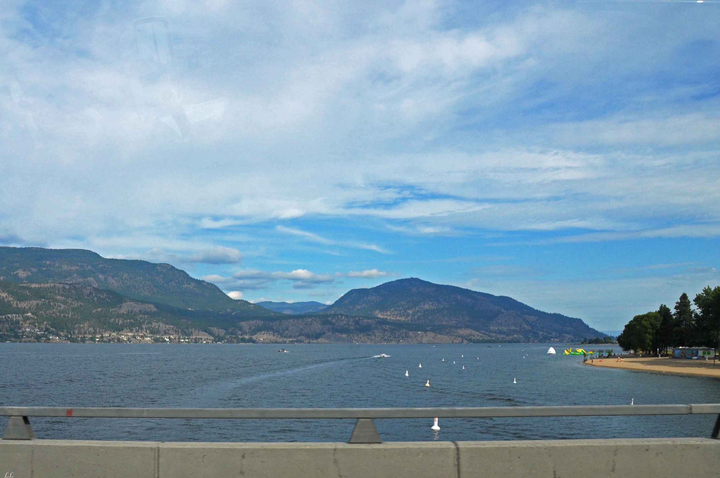
A beautiful lake. And big enough for lots of sailboats.
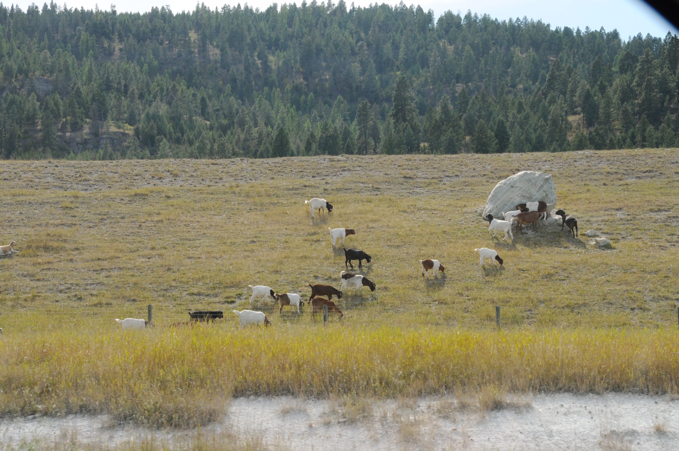
Wild goats along the side of the road.
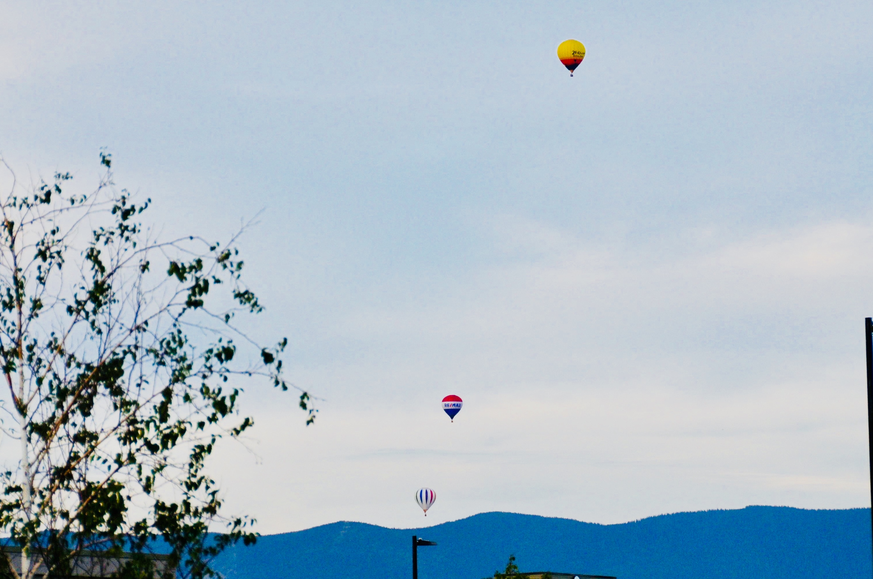
Balloons! Hot air balloons always look so graceful and peaceful. Maybe we’ll have to go to a balloon festival someday.
But if not…
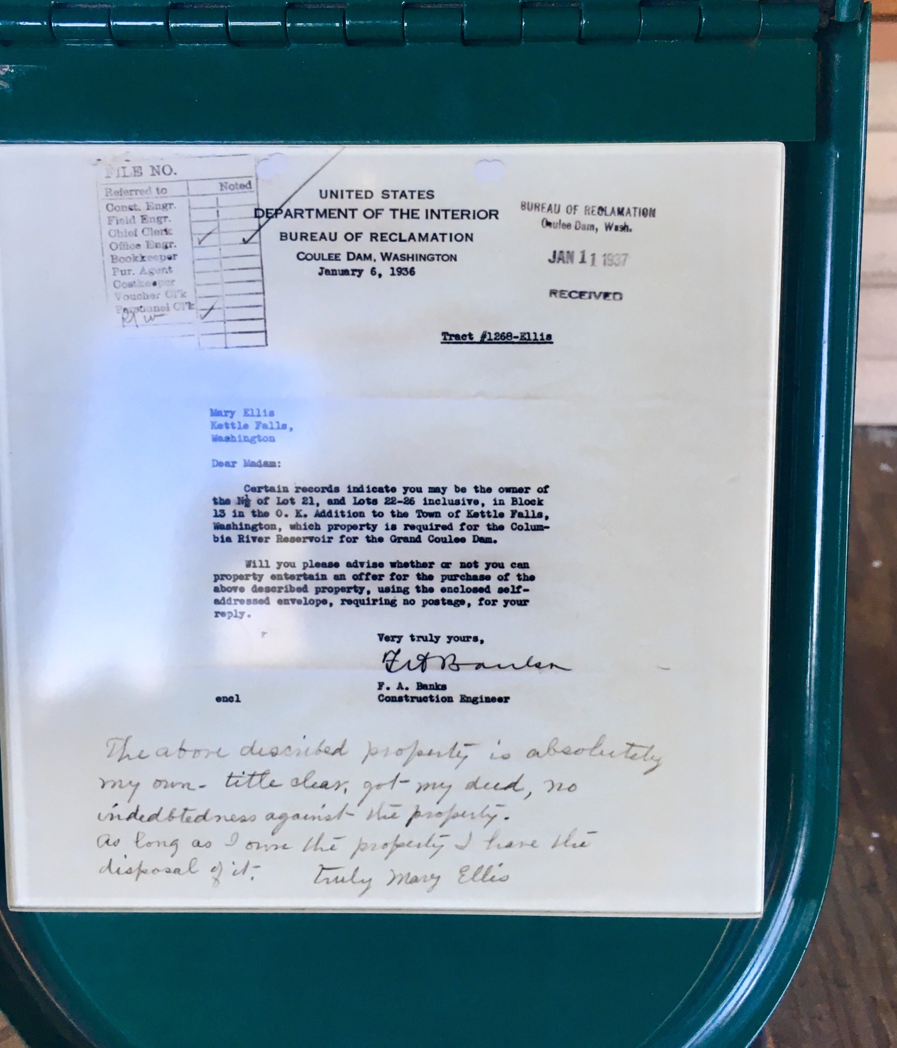
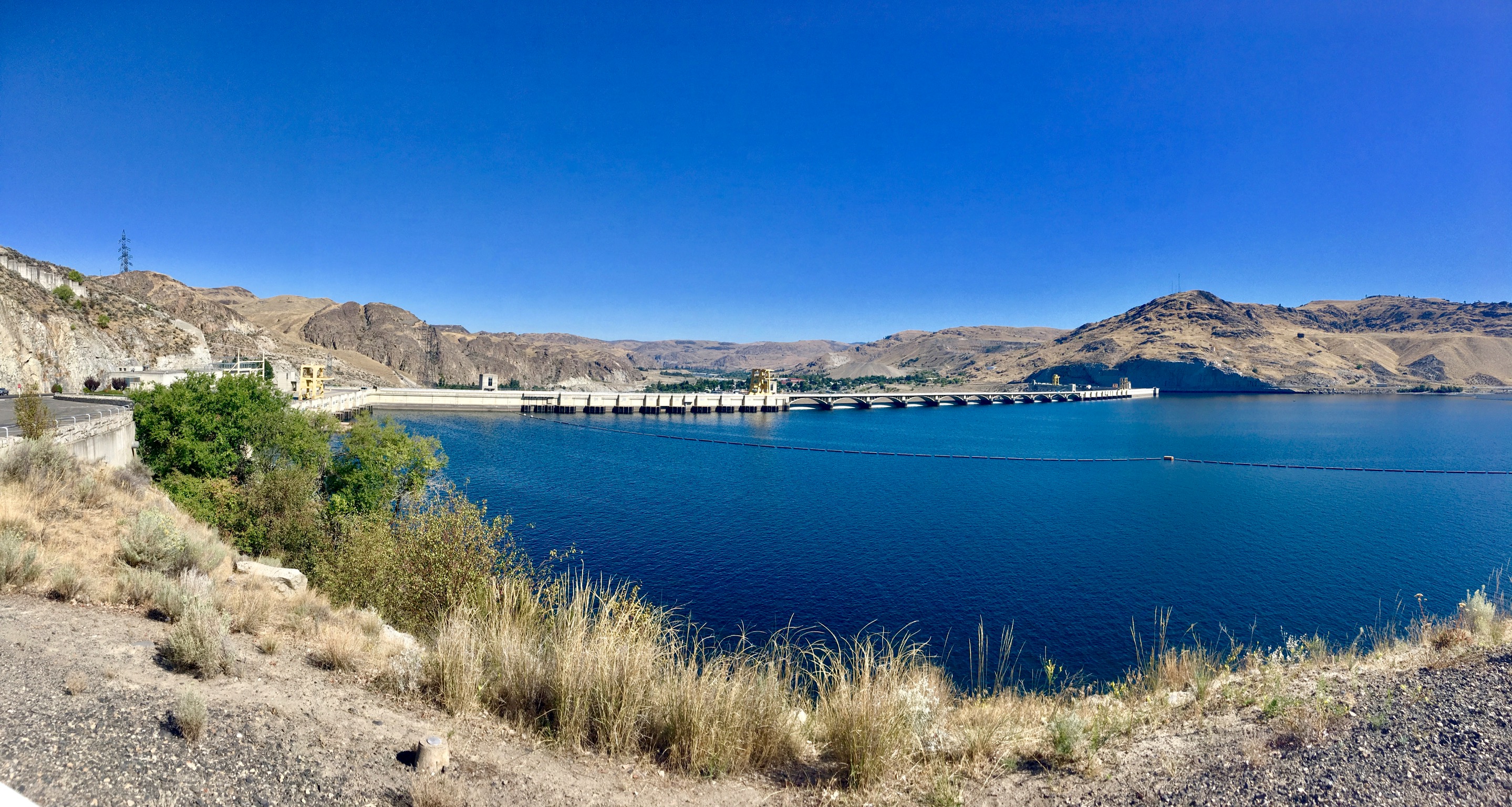
One of the stops on our list was the Grand Coulee dam on the Columbia River. Neither of us had ever seen it before and we were so close…


We followed this couple in their roadster until they turned around. Wonder if it was the steep climb up the mountain or if they were just at the end of their planned outing.

This was an impressive cut in the rock. It was obvious as we drove up to it that the roadway was cut right through the edge of the mountain. We stopped and looked around a bit and realized that cutting through really was the only option. There simply was no way to skirt the outcropping.
The view from the overlook just before the cut through the rock.
A lone sentinel.

The Columbia River gorge is beautiful! If it weren’t for that little thing called winter…
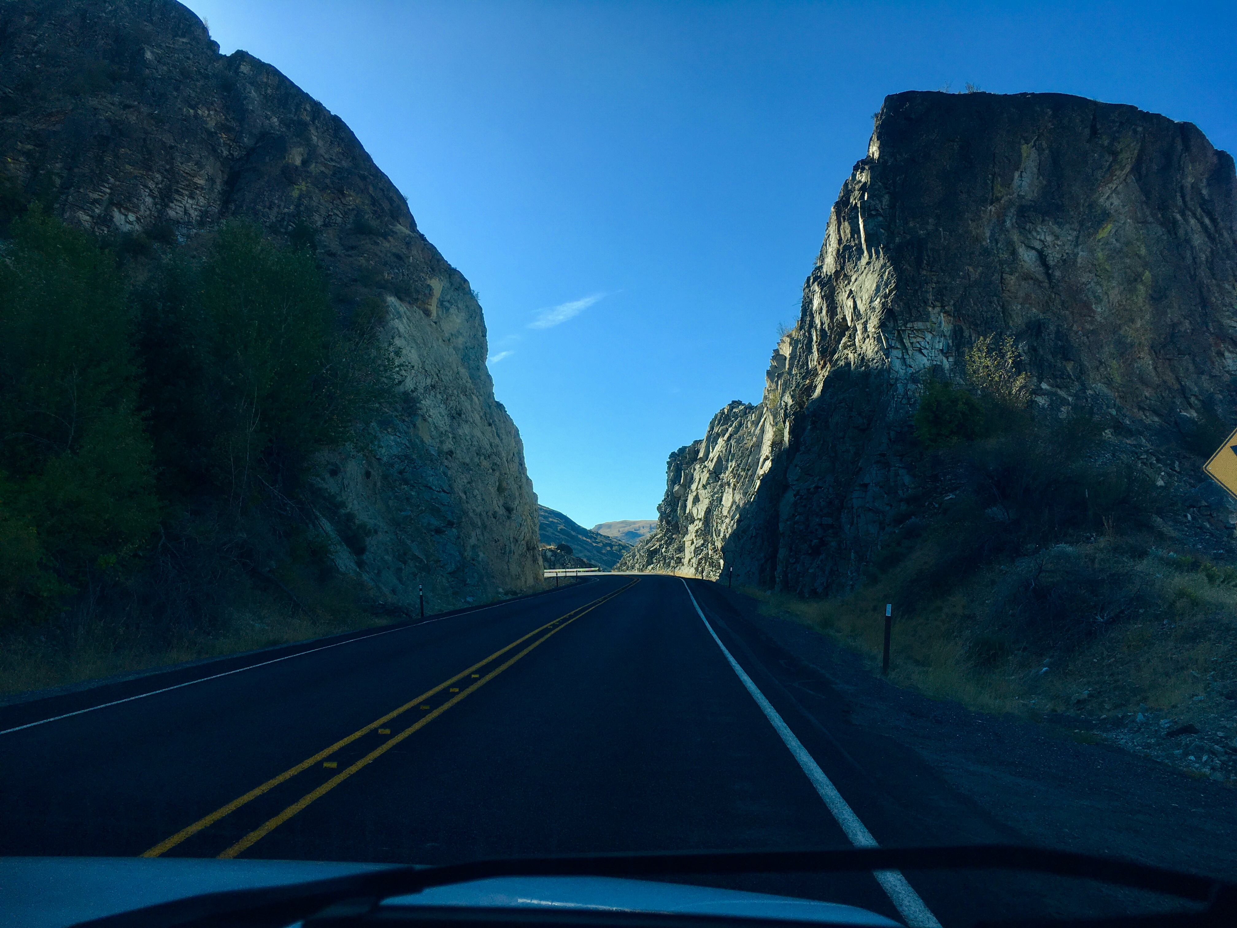
A close-up of the cut through the rock.
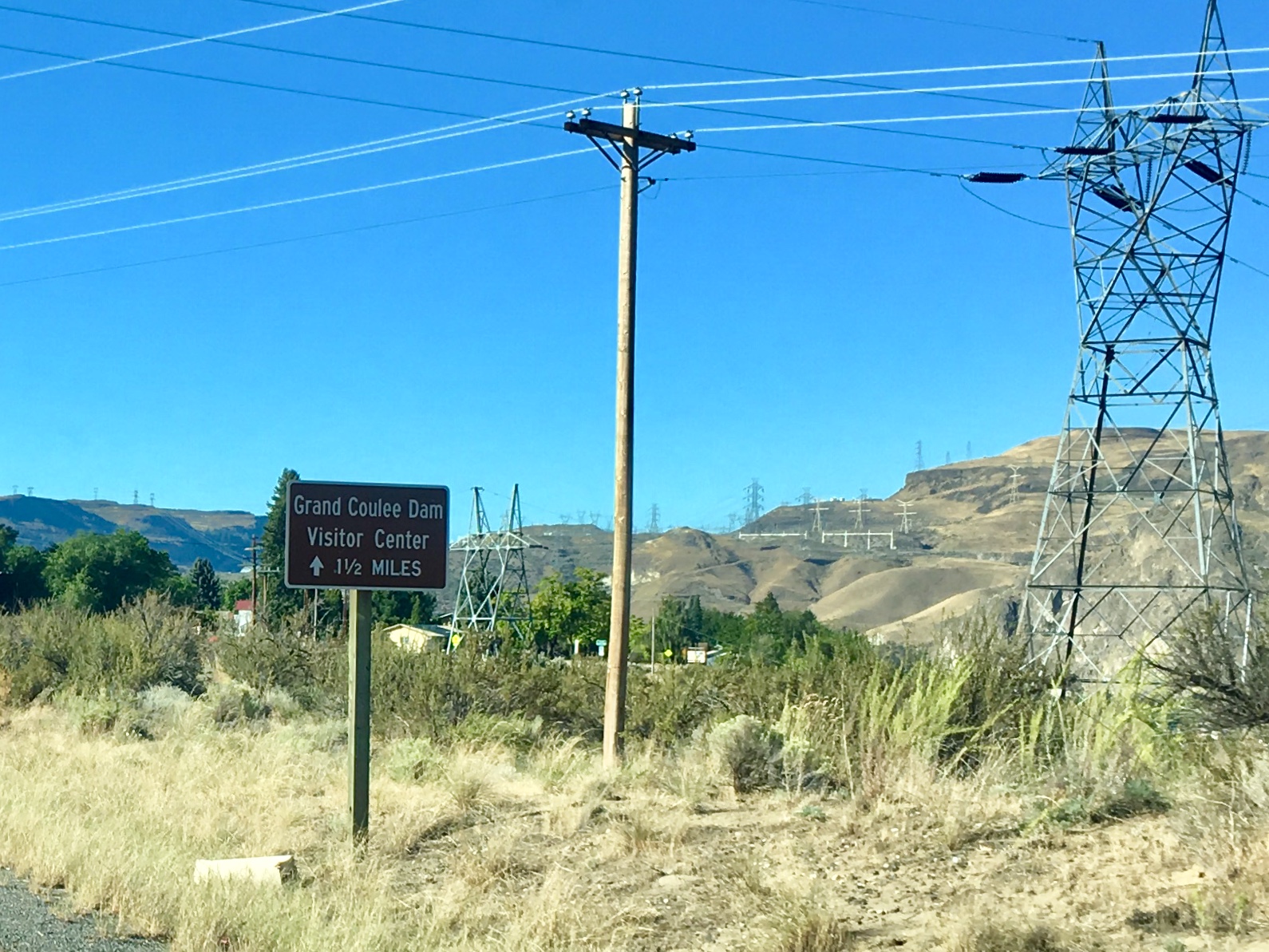
One of the signs we were getting close to the dam was the increasing number of power lines. The mountain ridge was covered in high voltage lines criss crossing the landscape.
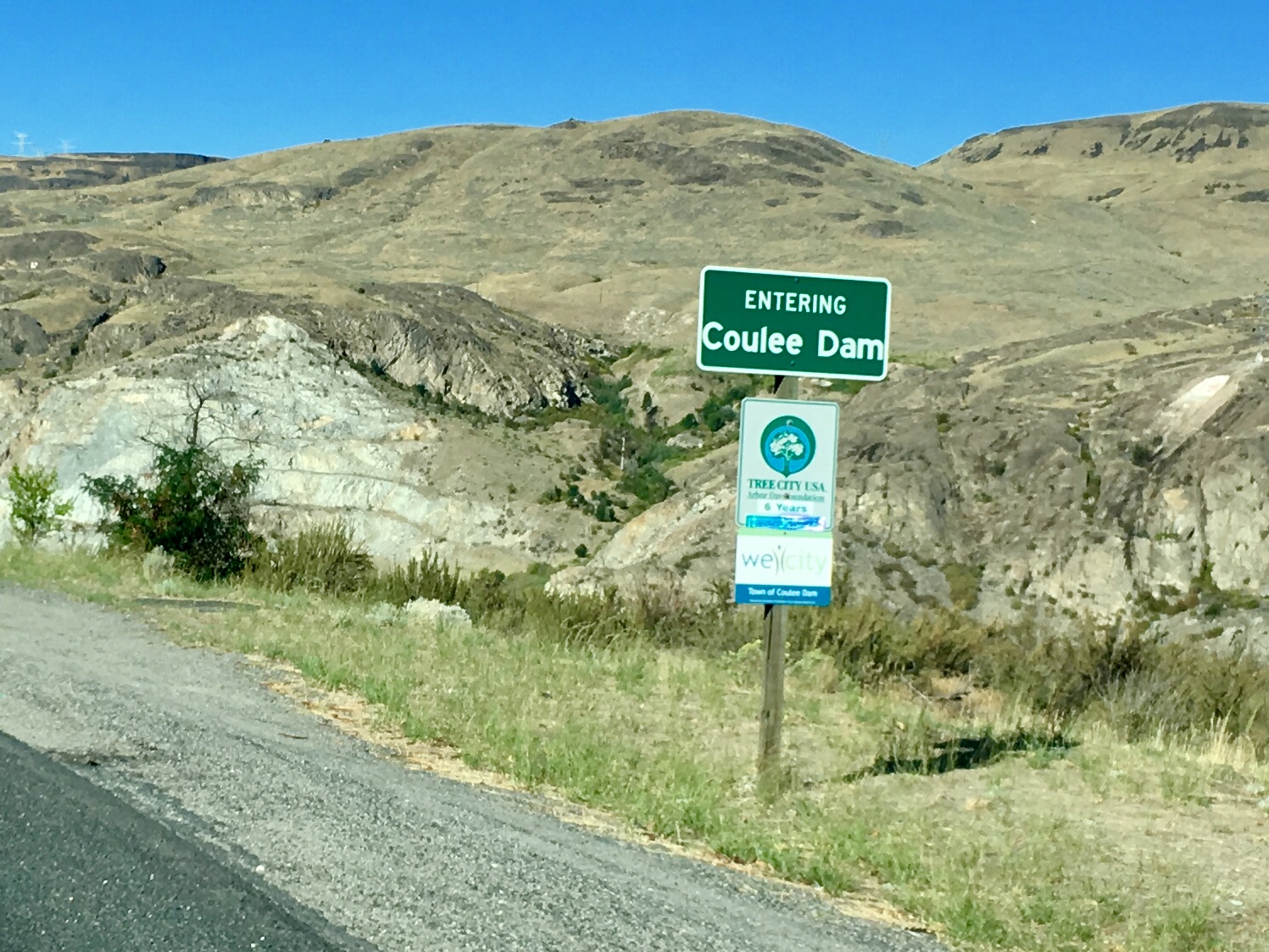
The town of Coulee was a bit of an oasis in an otherwise pretty barren landscape.
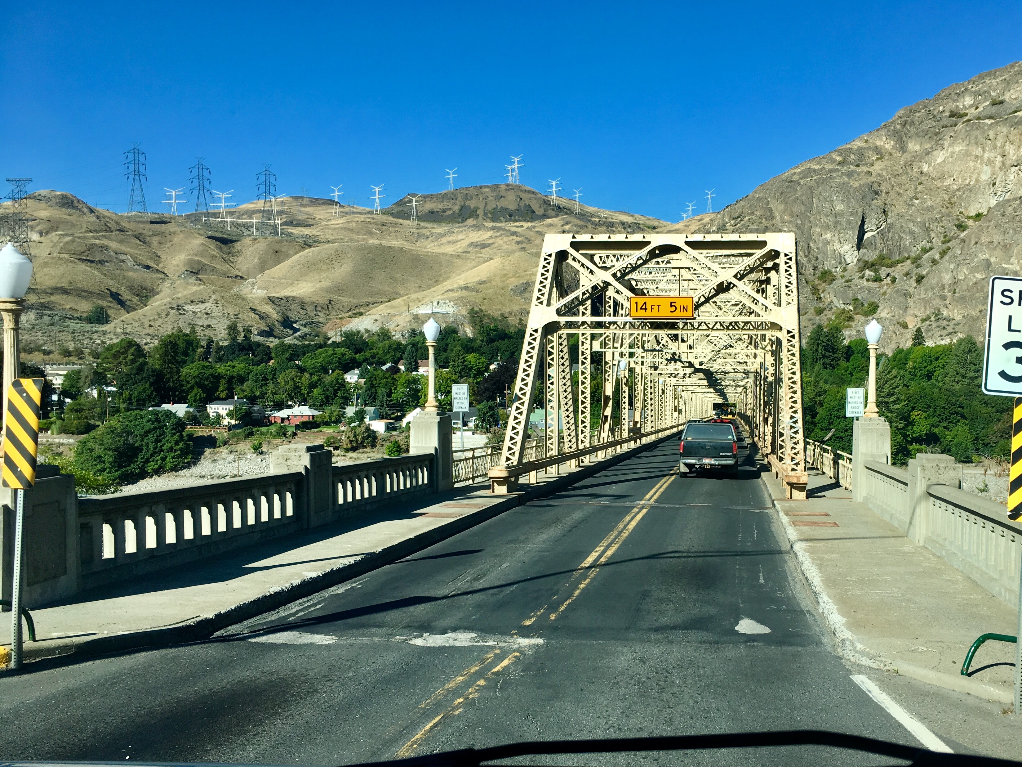
One of the narrower bridges we’ve crossed in the RV. Fortunately, we managed to time it when there were no large vehicles coming the other way.
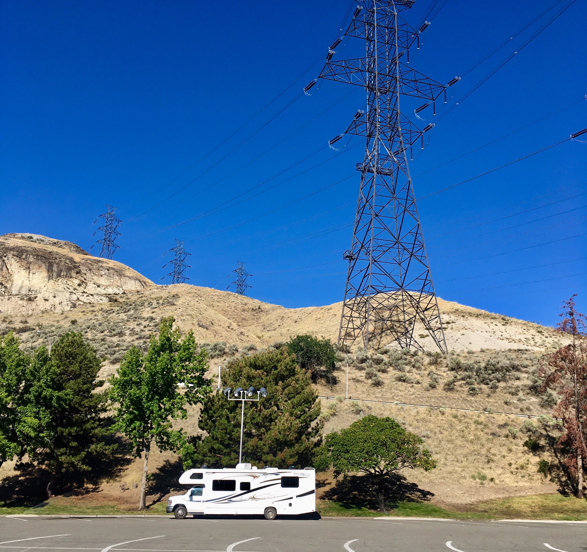
The power lines were very big!!
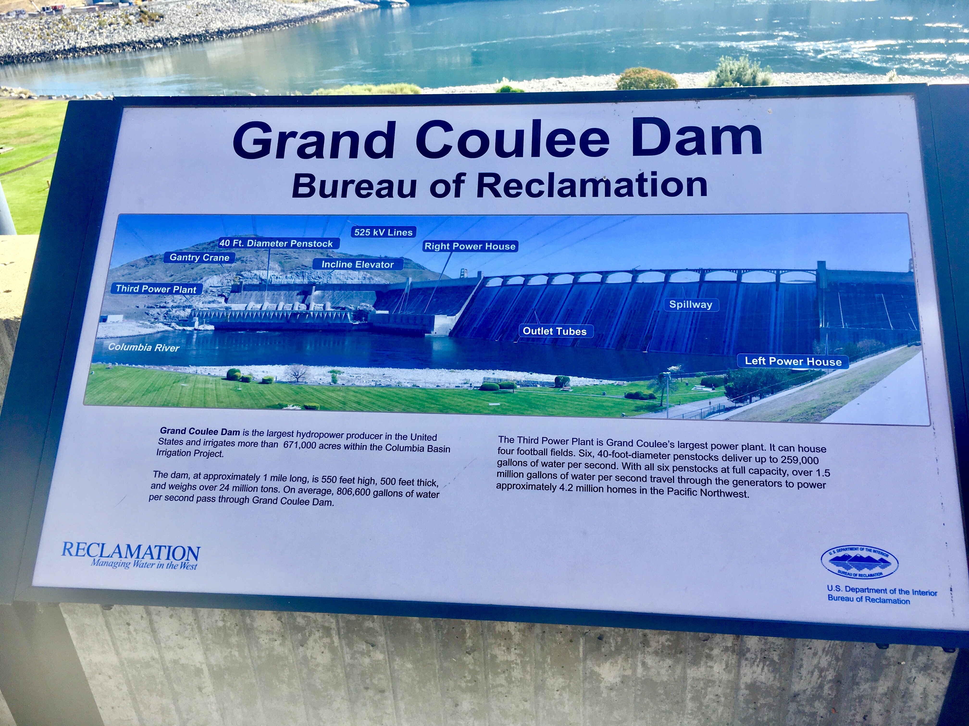
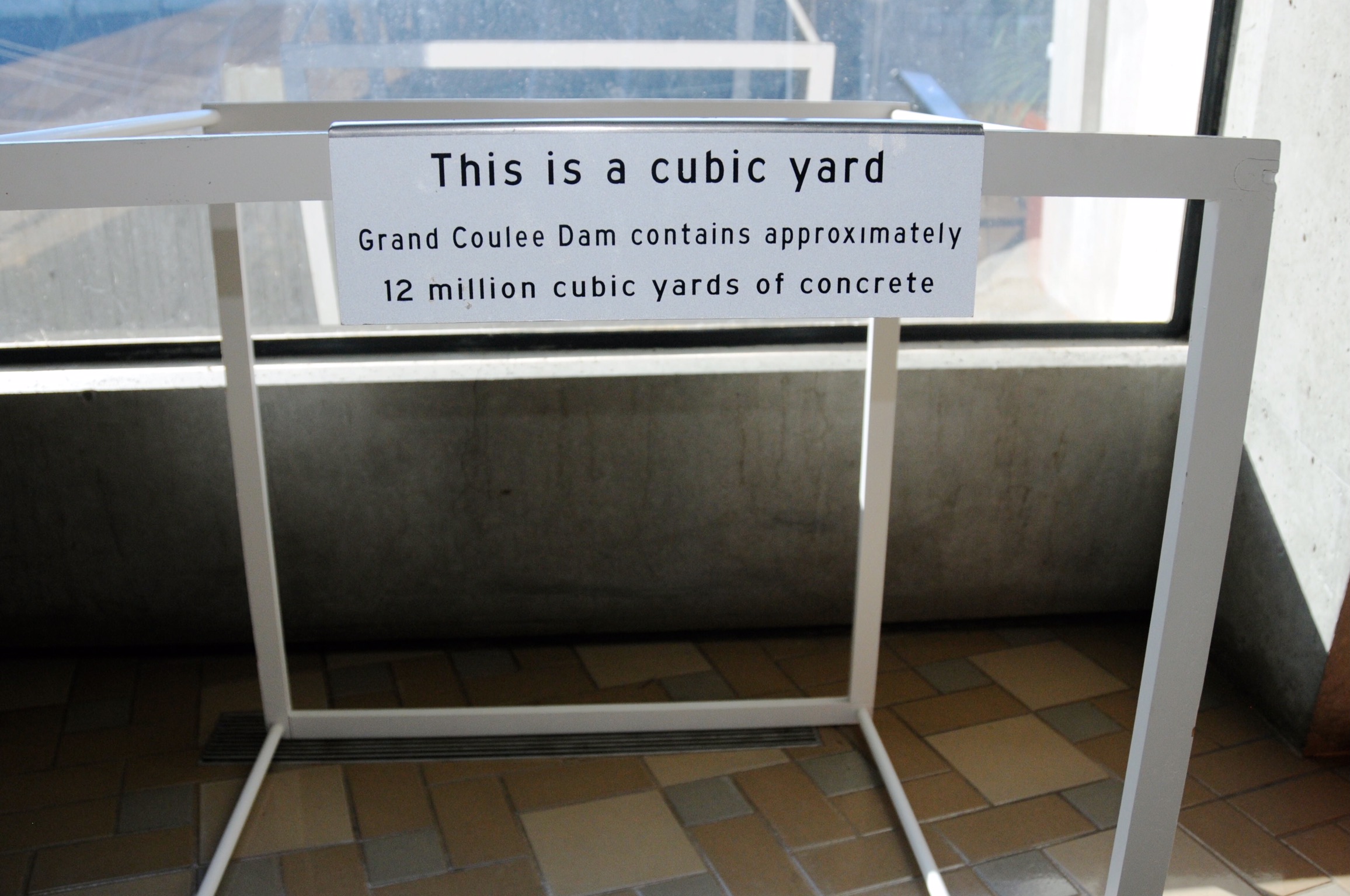
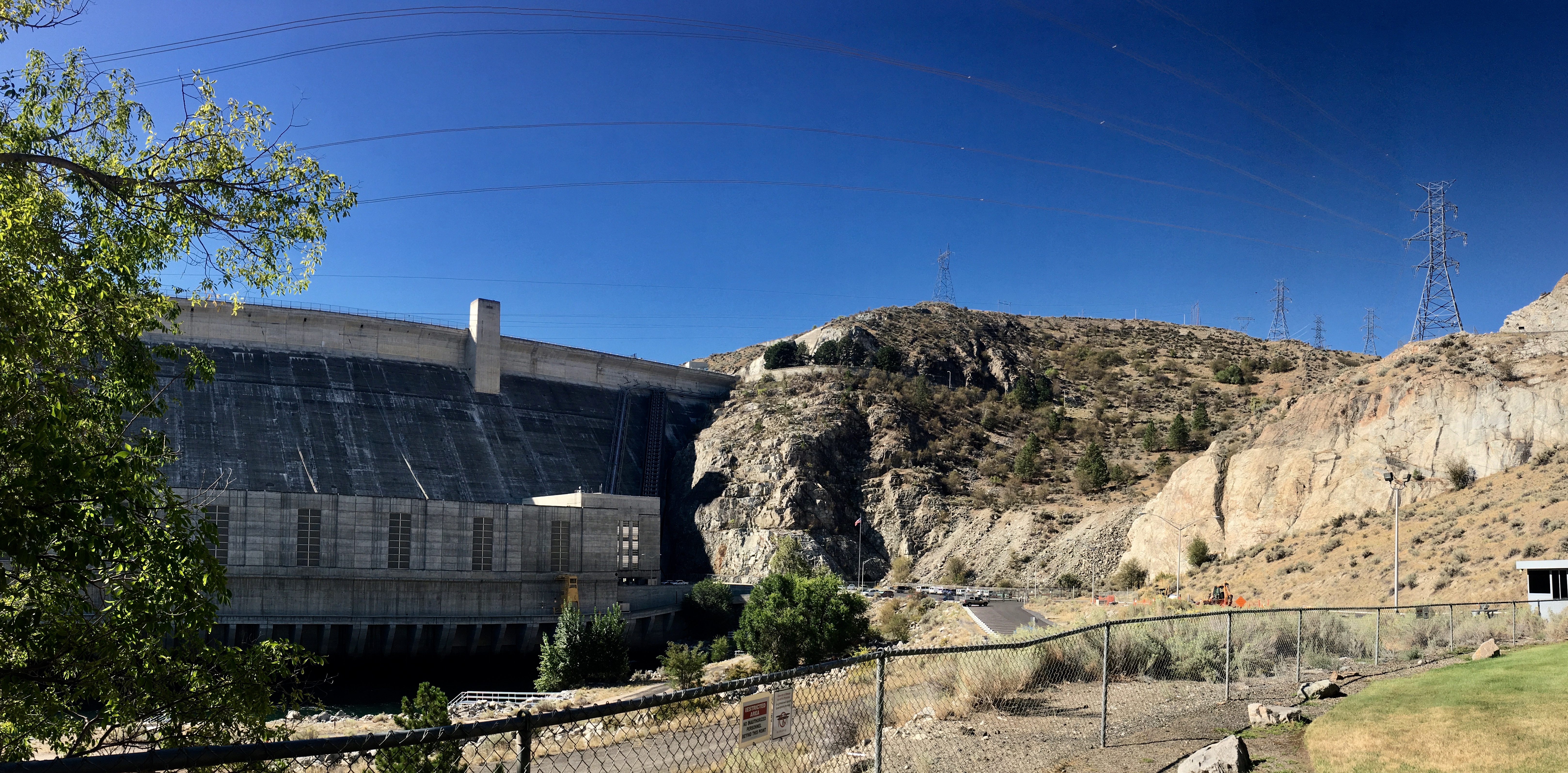
That’s a lot of concrete! We often wonder if it’s even possible anymore to build something as massive as the Grand Coulee dam. Between the increasing regulatory burdens and the vastly increased construction costs (8,000 workers on the GC dam received an average of $0.80/hr) contrasted with improved technology, it’s hard to know. Besides the dam, 4 bridges and worker housing were also part of the project. Overall, the construction took 9 years to build the original dam.

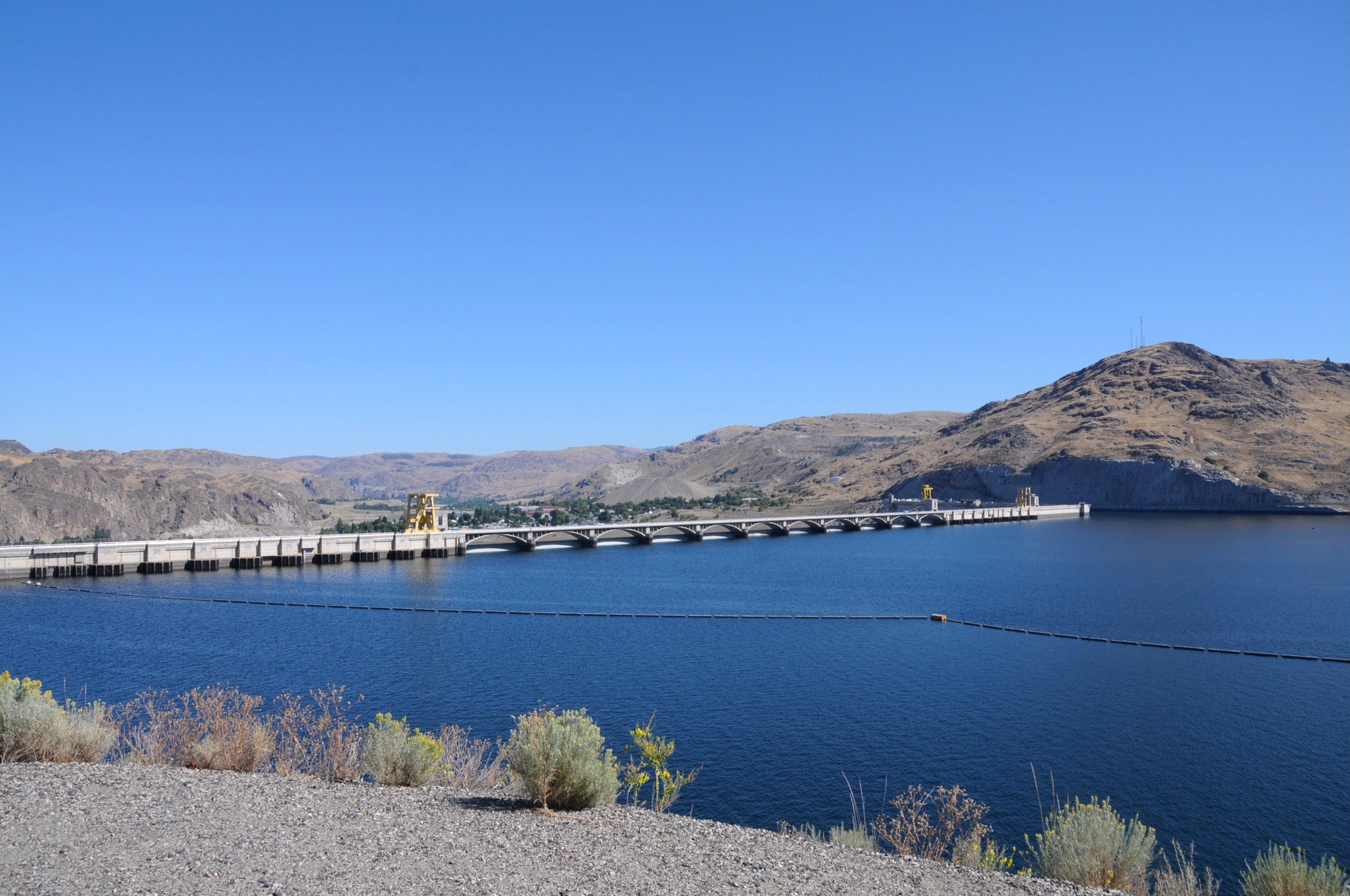
Lots of dam sites in this part of the country. So lots of power generation capacity.
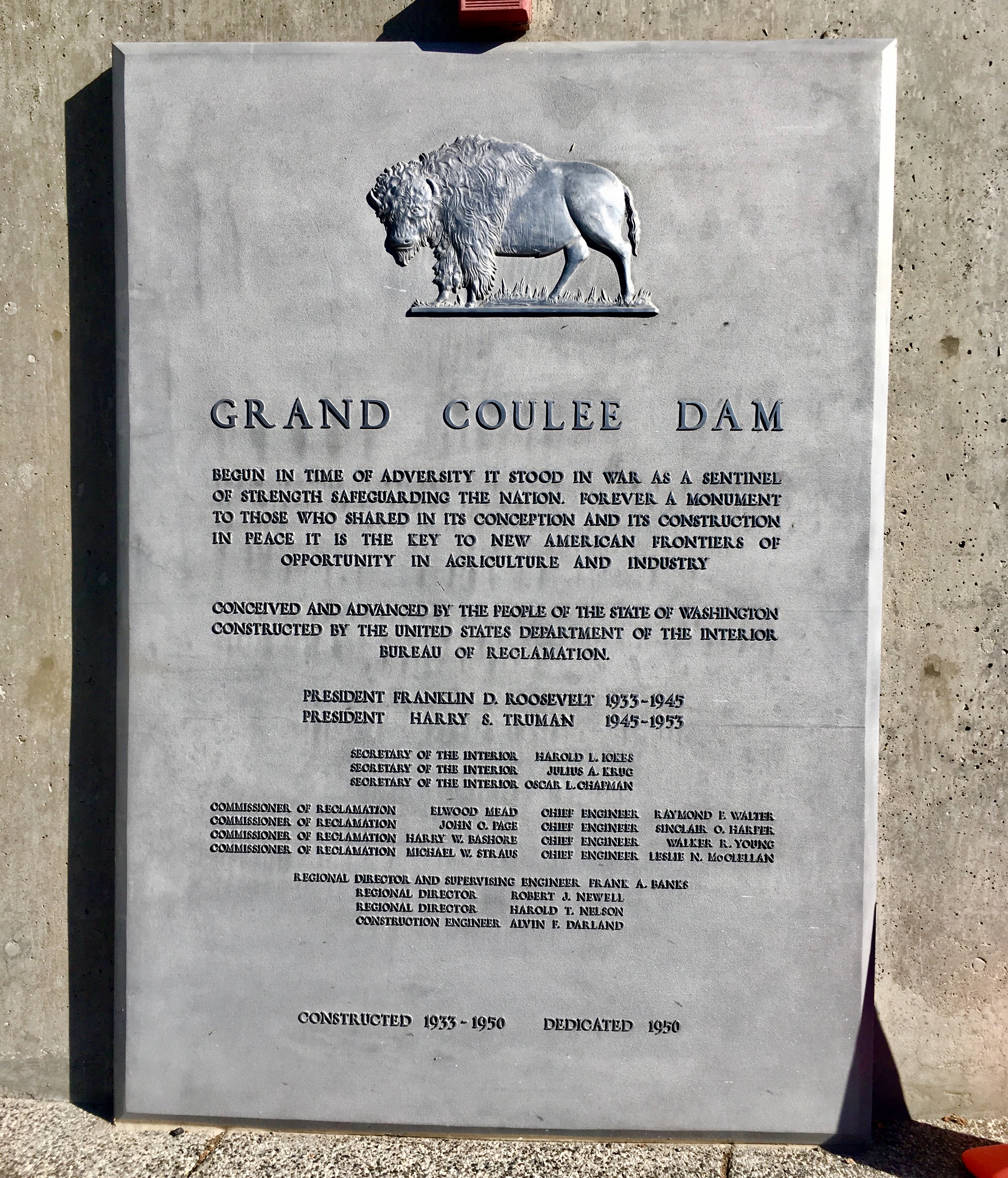
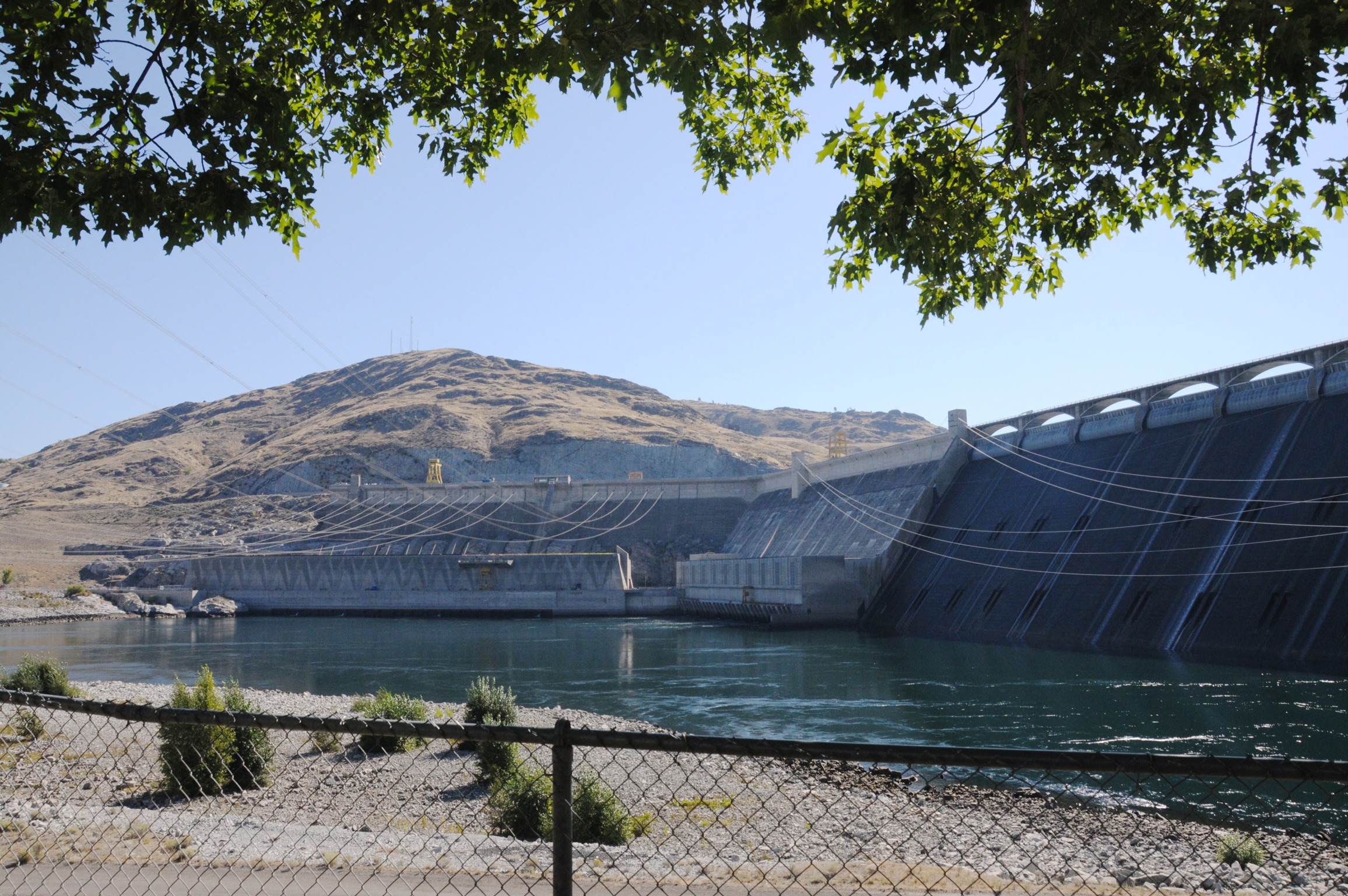

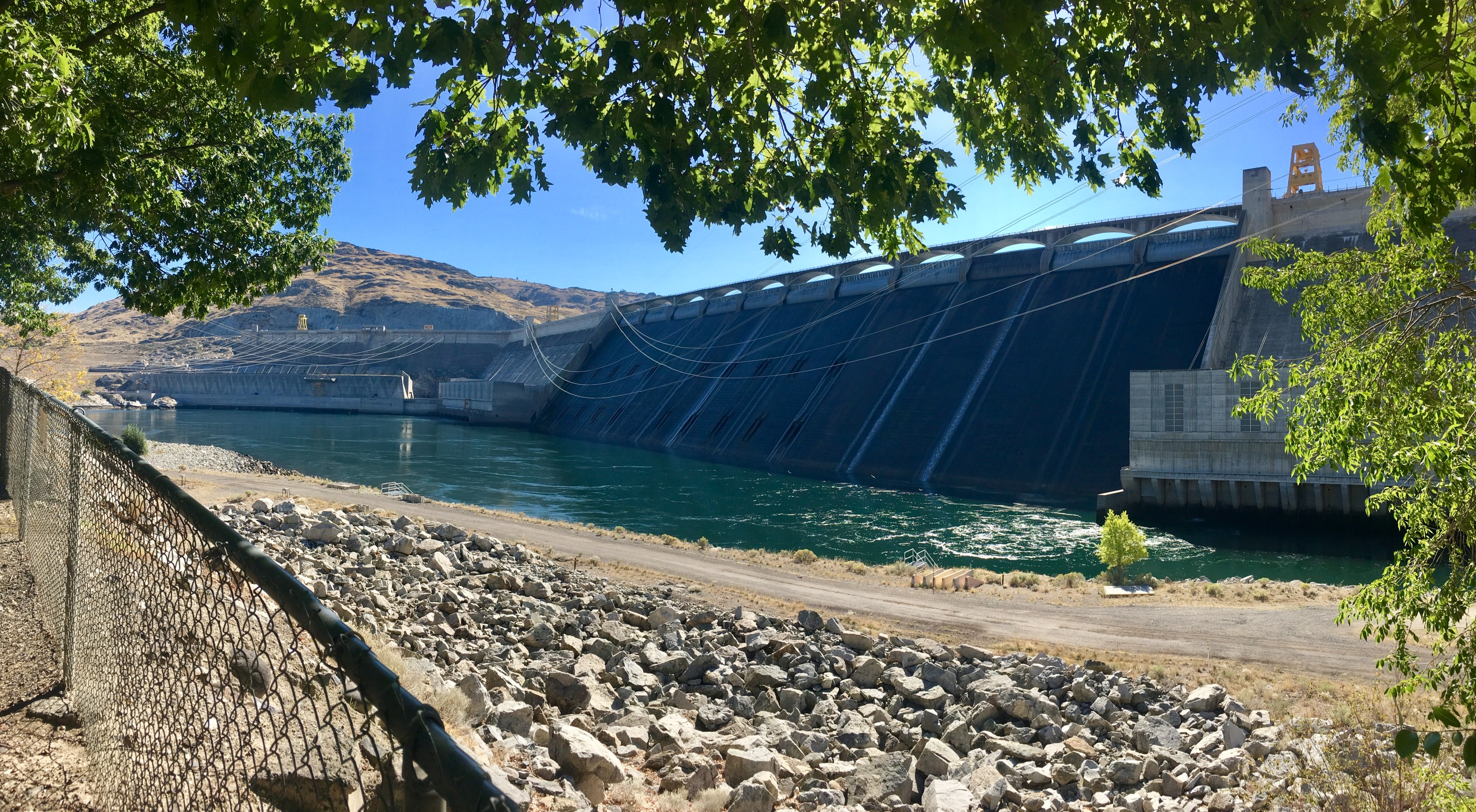
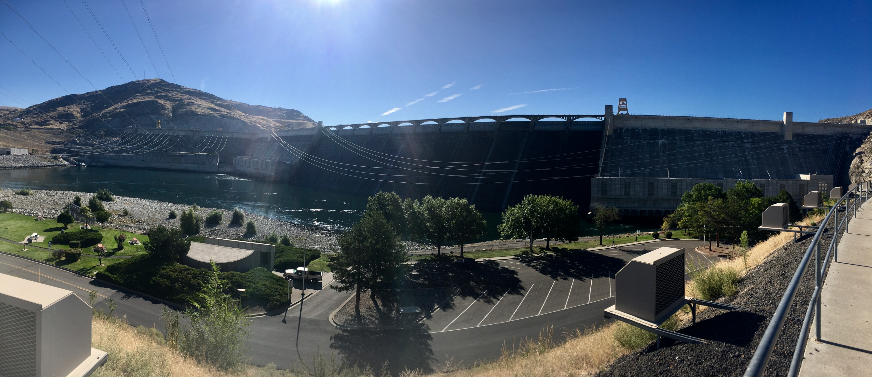
One interesting side note is that the 3rd powerhouse, the one on the far left, was built 30 years after the dam was completed (also taking about 9 years) and it generates about 60% of the total power output of the dam. Technology had improved that much in a short time. At about 7,000 megawatts, the Grand Coulee dam is the largest power producer in the country.

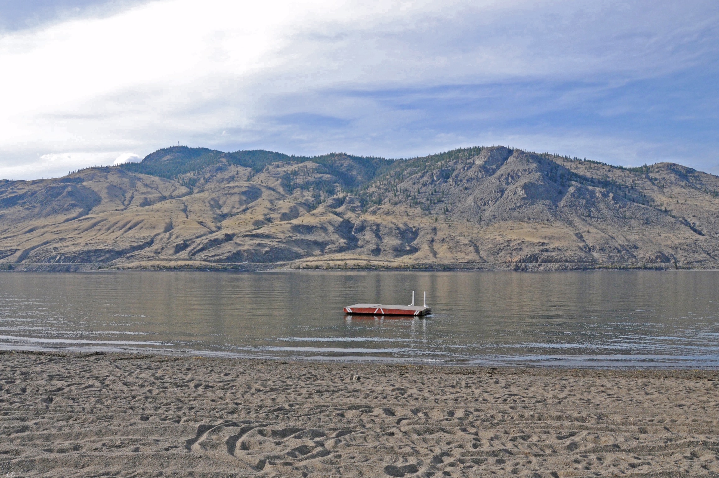
Upstream of the dam, the Franklin Delano Roosevelt lake was calm and placid..
Not a very crowded day. Of course, it was late in the season.

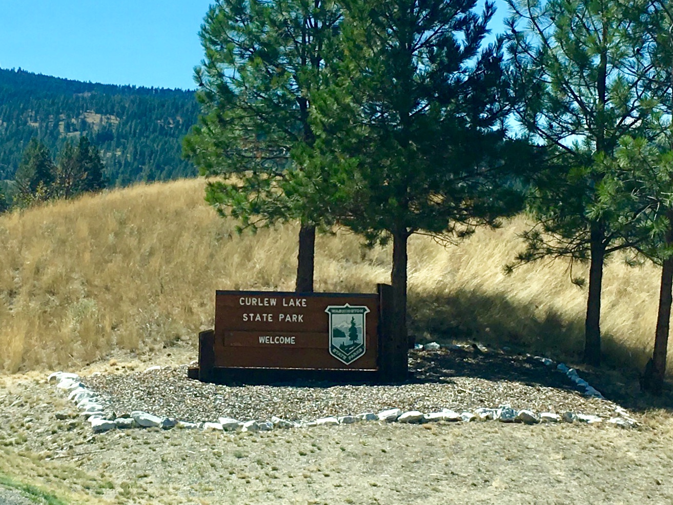
We found a little out of the way campground at Curlew Lake.
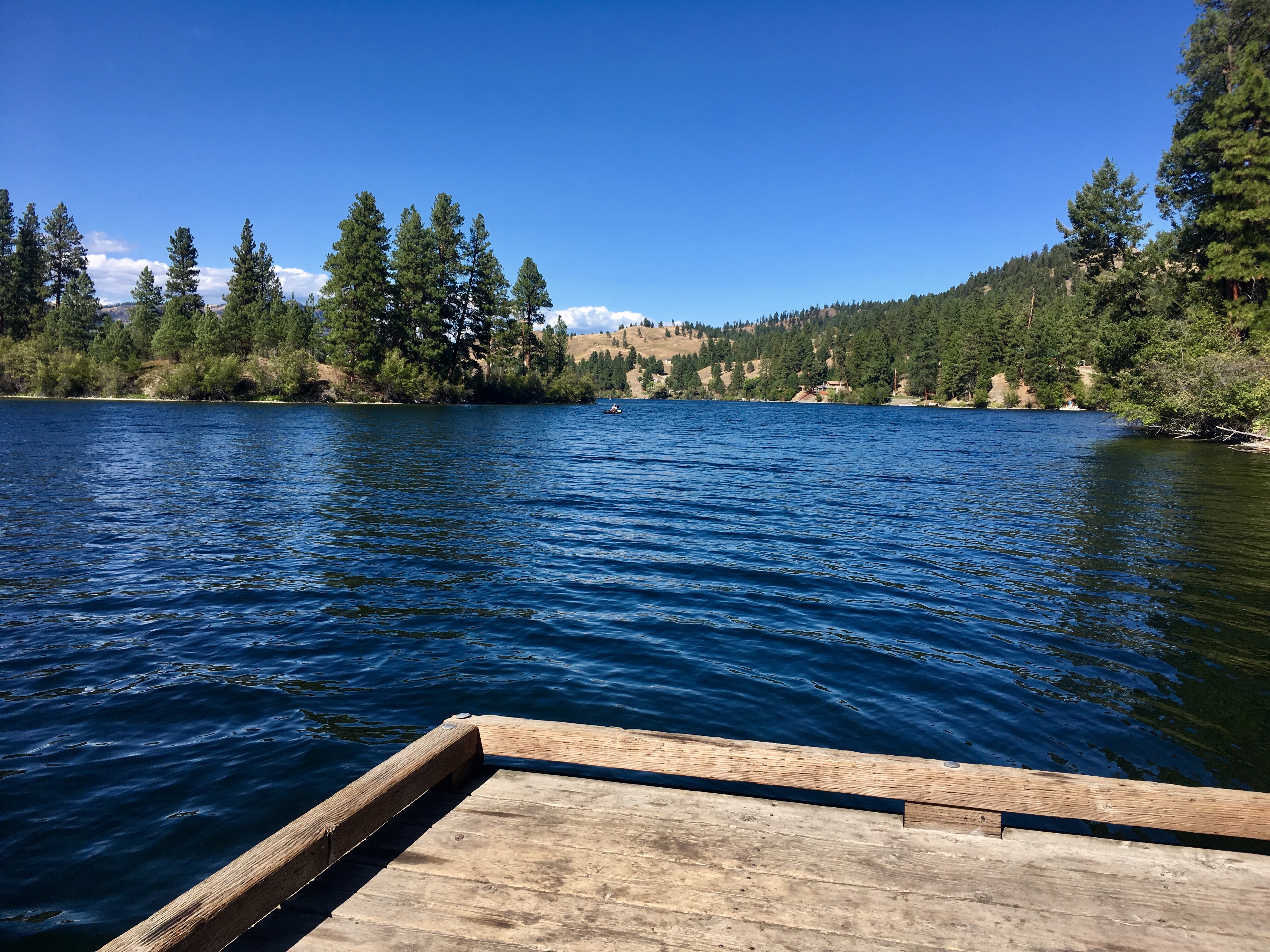
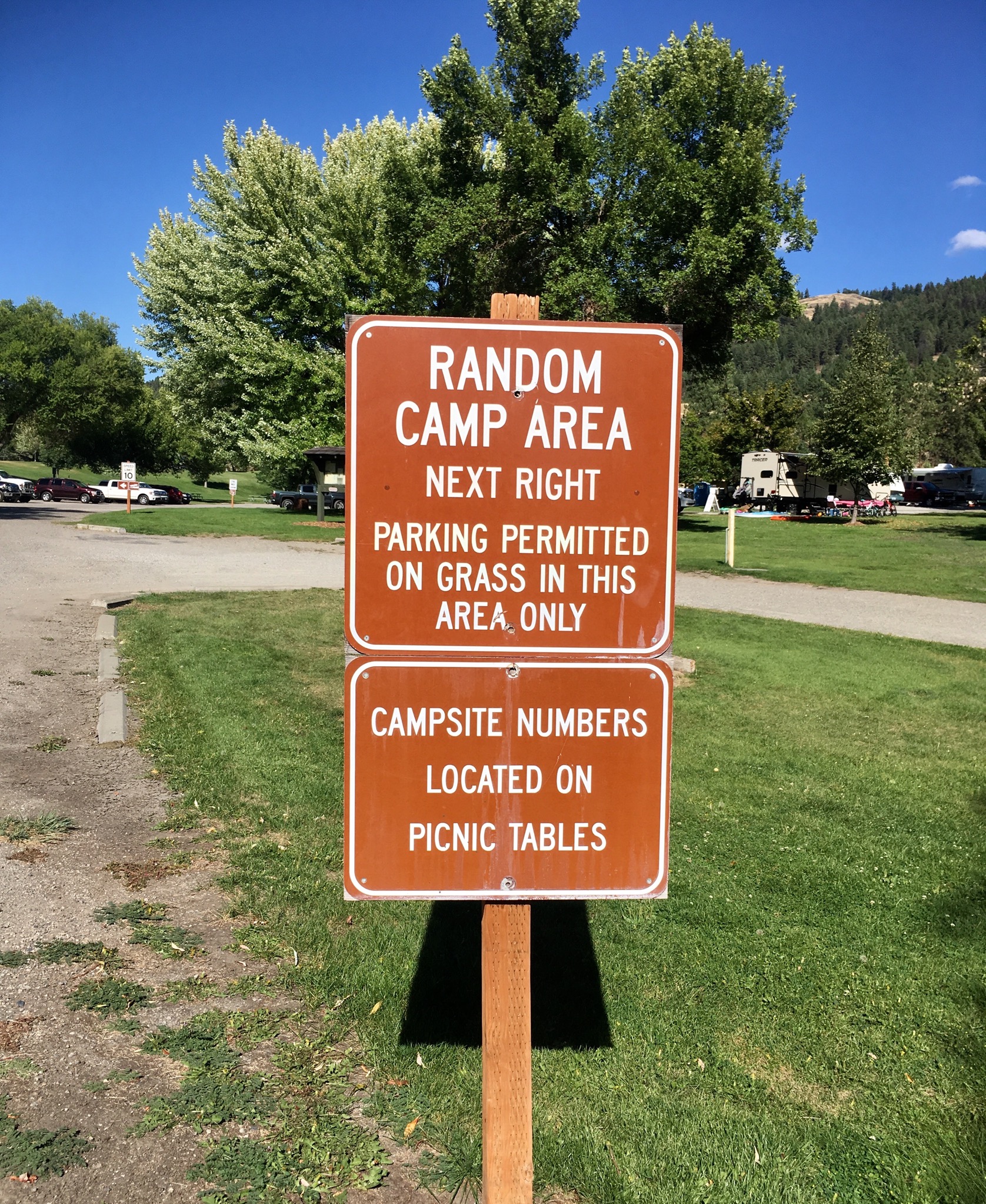
Surprisingly, most of the small campground was either full or reserved. But they had an area set aside called “Random,” for either tents or no-hookup RV’s. Since we’ve rarely had hook-ups anywhere we’ve been, that worked perfectly. The woman working at the camp office also took pity on us and gave us the senior discount even though it was state not national park, probably because we were OK with the Random area.
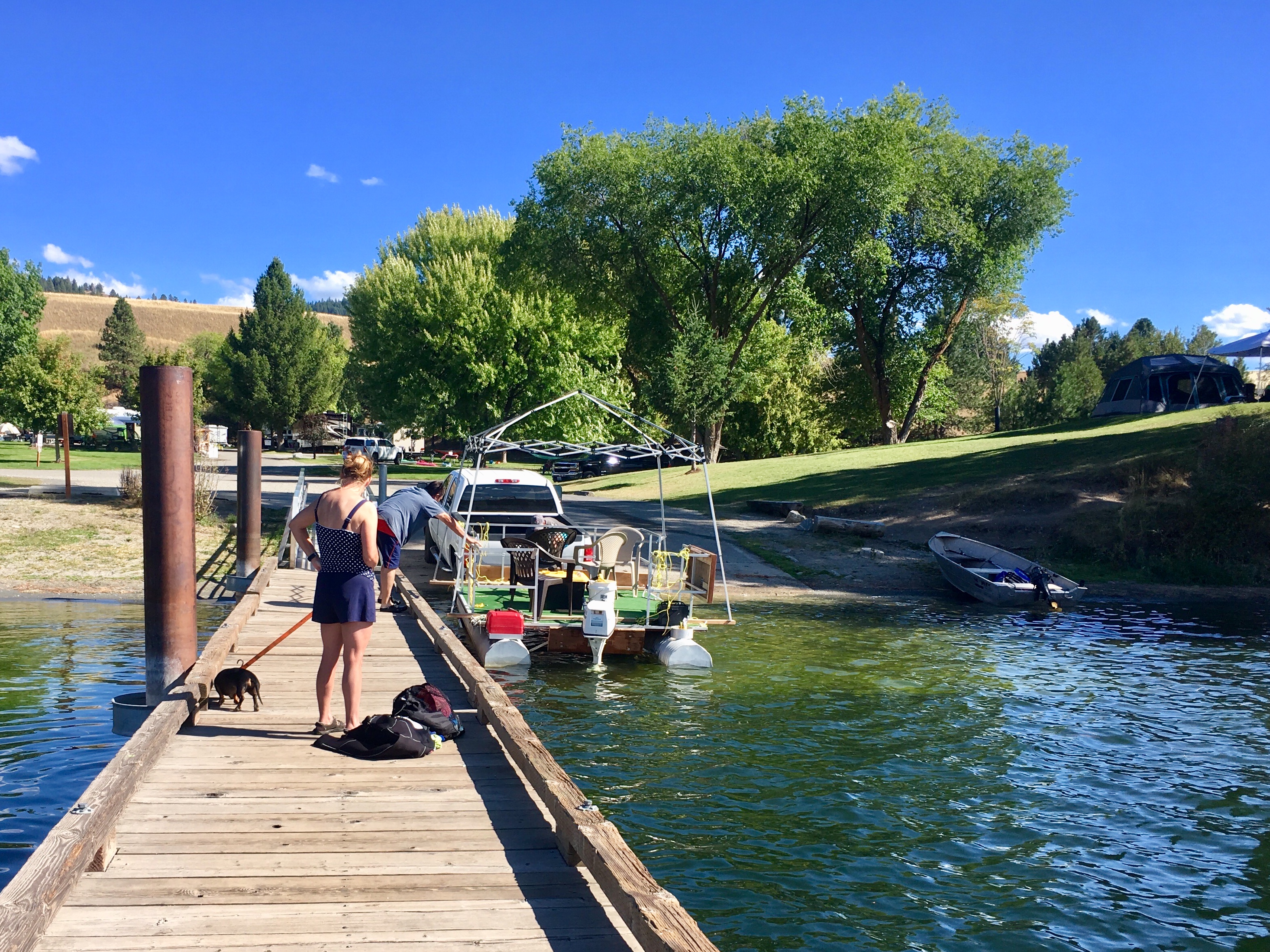
This might be the most interesting boat we’ve seen in a long time. It was a homebuilt pontoon boat with large corrugated pipes as the pontoons. A plywood platform covered with a backyard screen awning sat across the corrugated pipes. The driver steered by leaning down and pushing the outboard then sitting back up to see how much effect each shove of the outboard had. Needless to say, the trailer was also homemade. It was all excellent craftsmanship, just odd.

But if not…
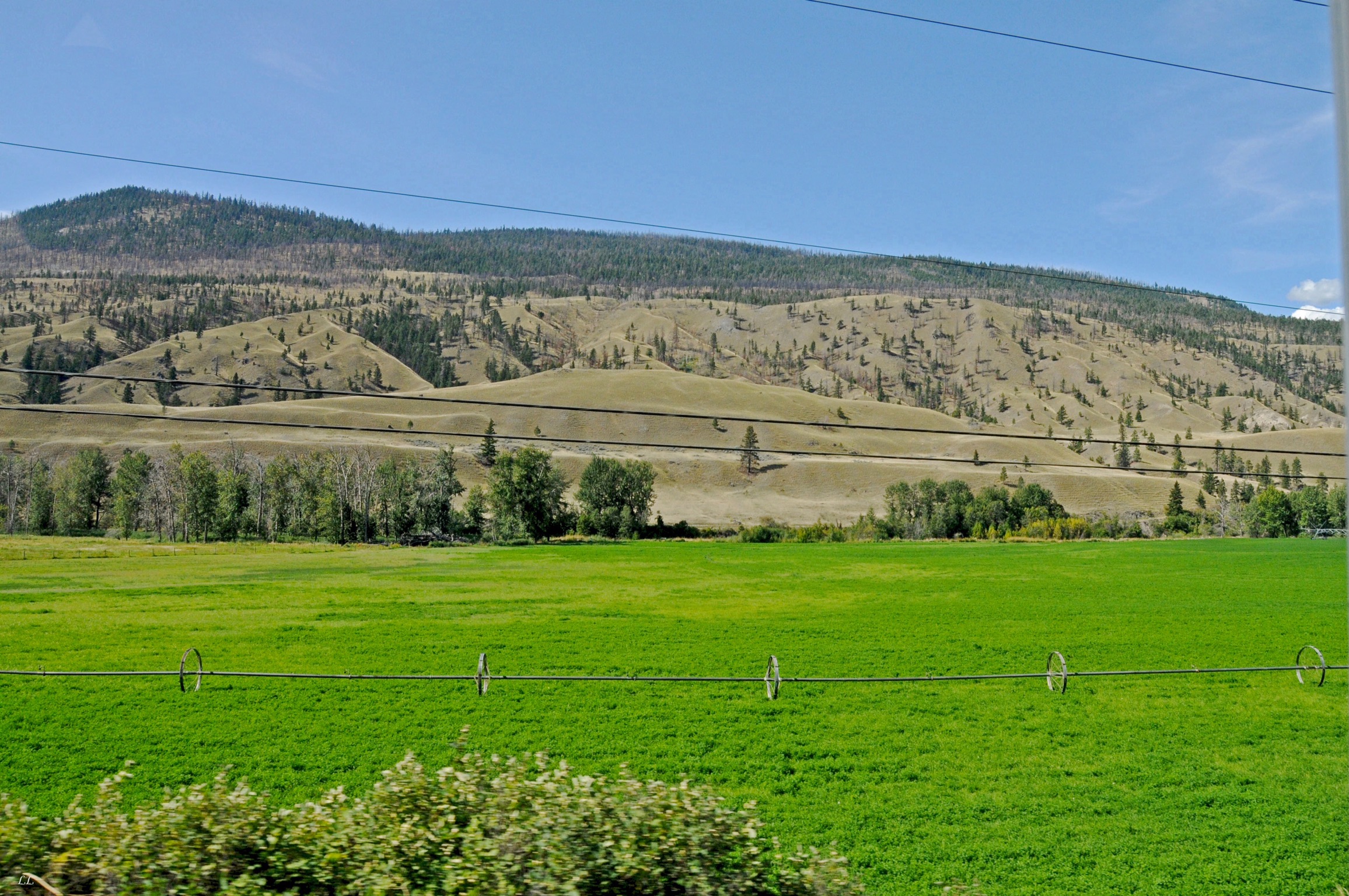
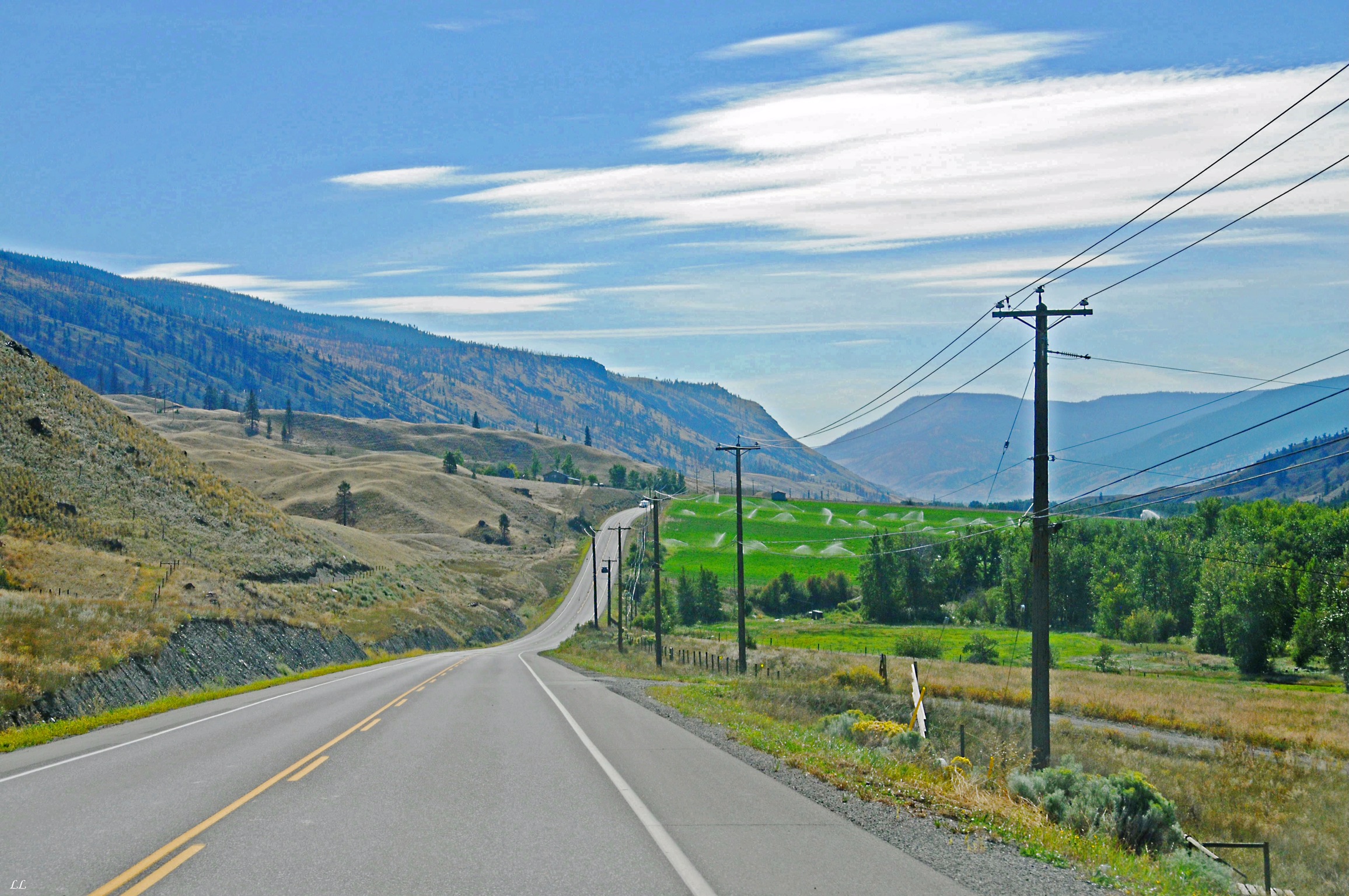
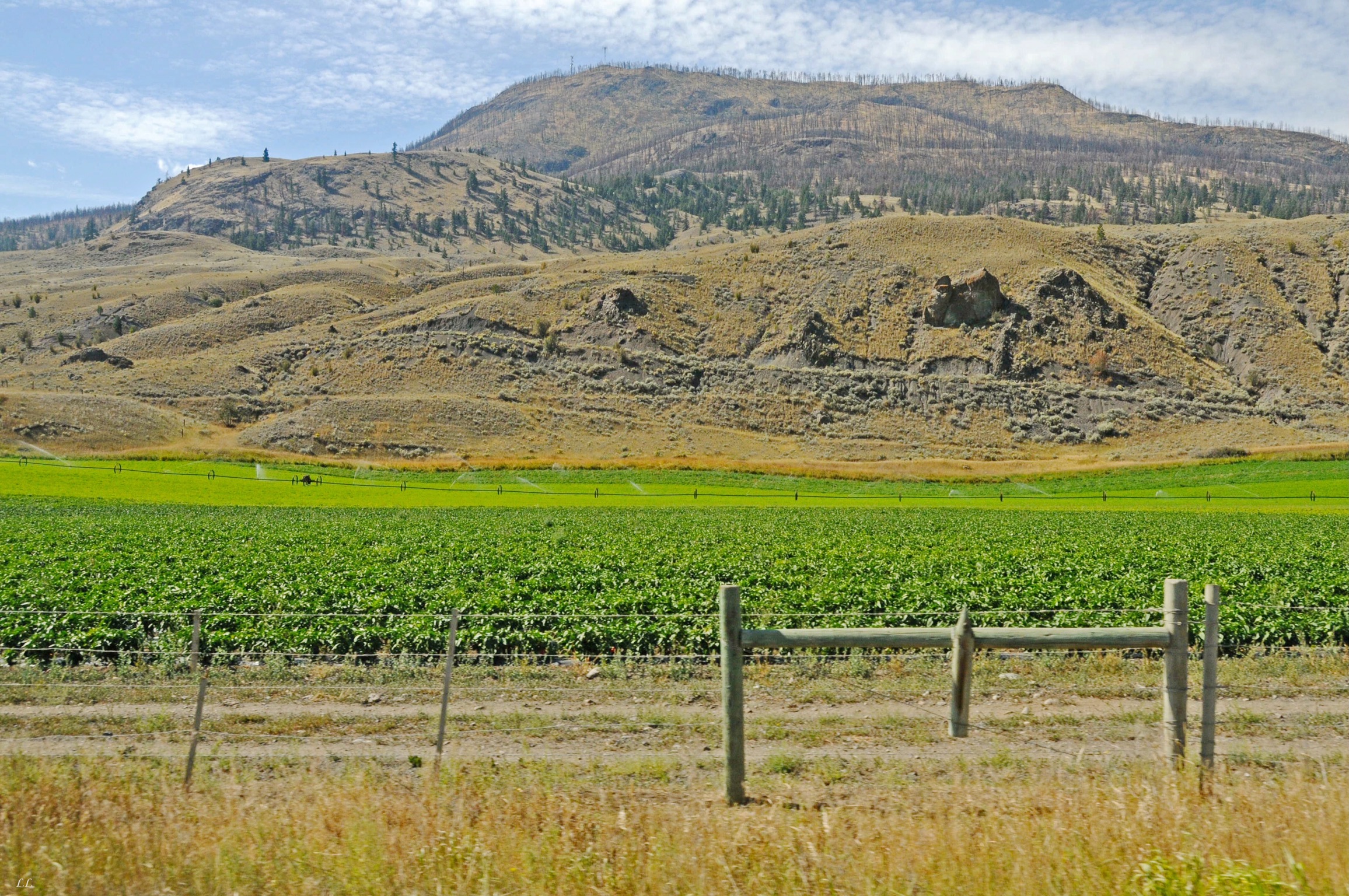
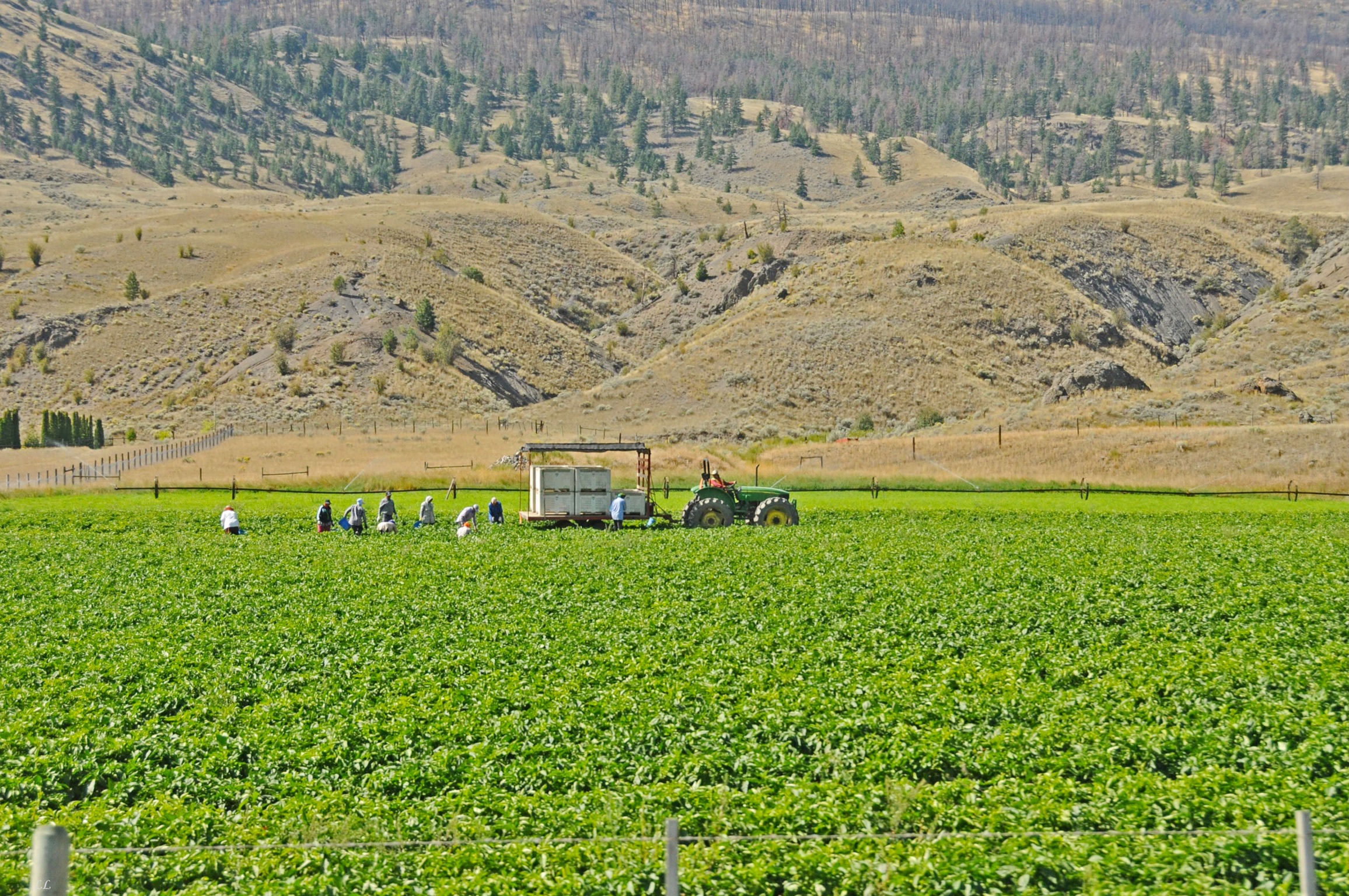
When people think of Canada, we’re sure that “desert” is not at the top of the list of descriptors. But there is in fact a desert in western Canada. And we found it. And it was beautiful!
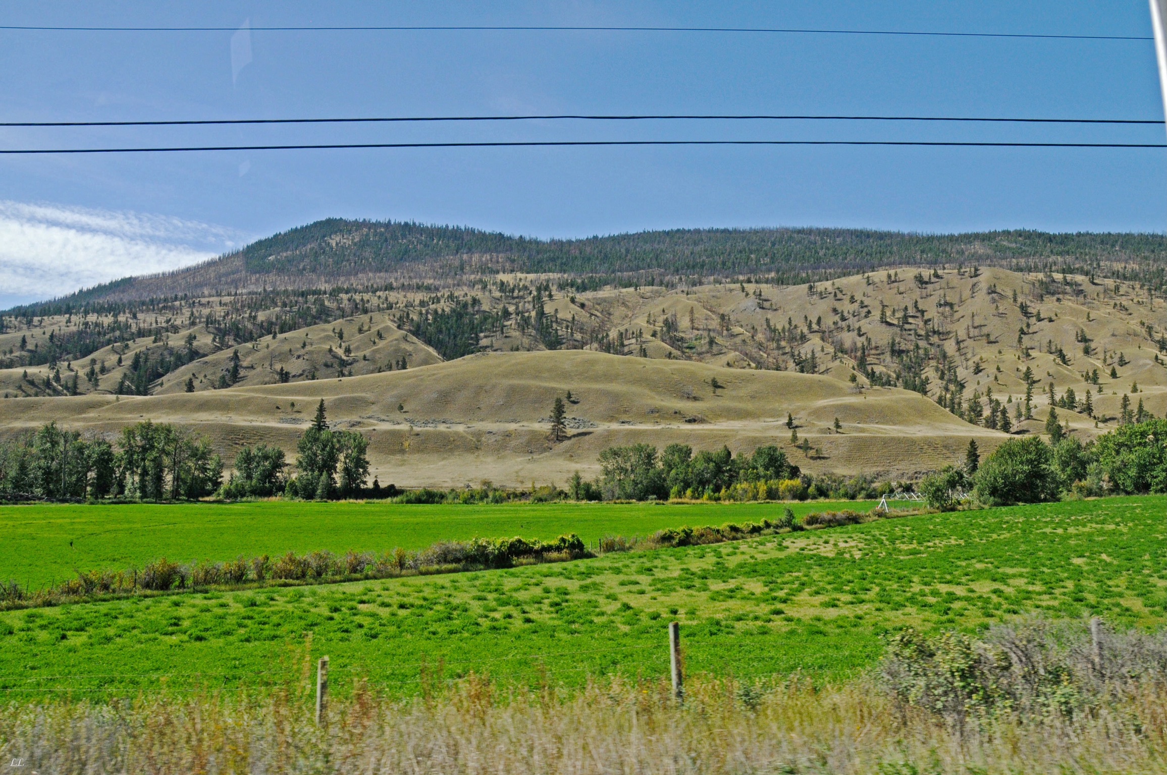
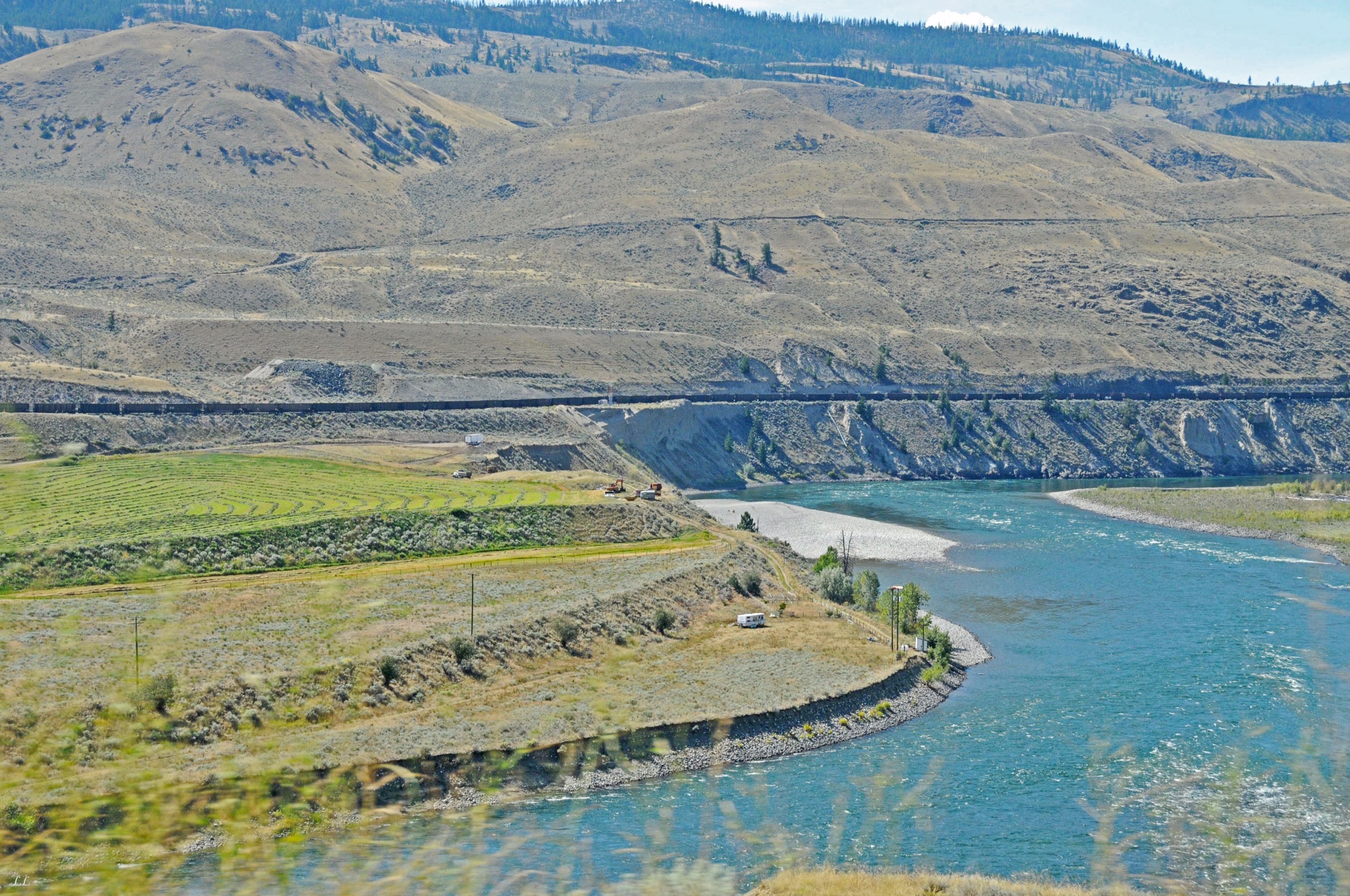
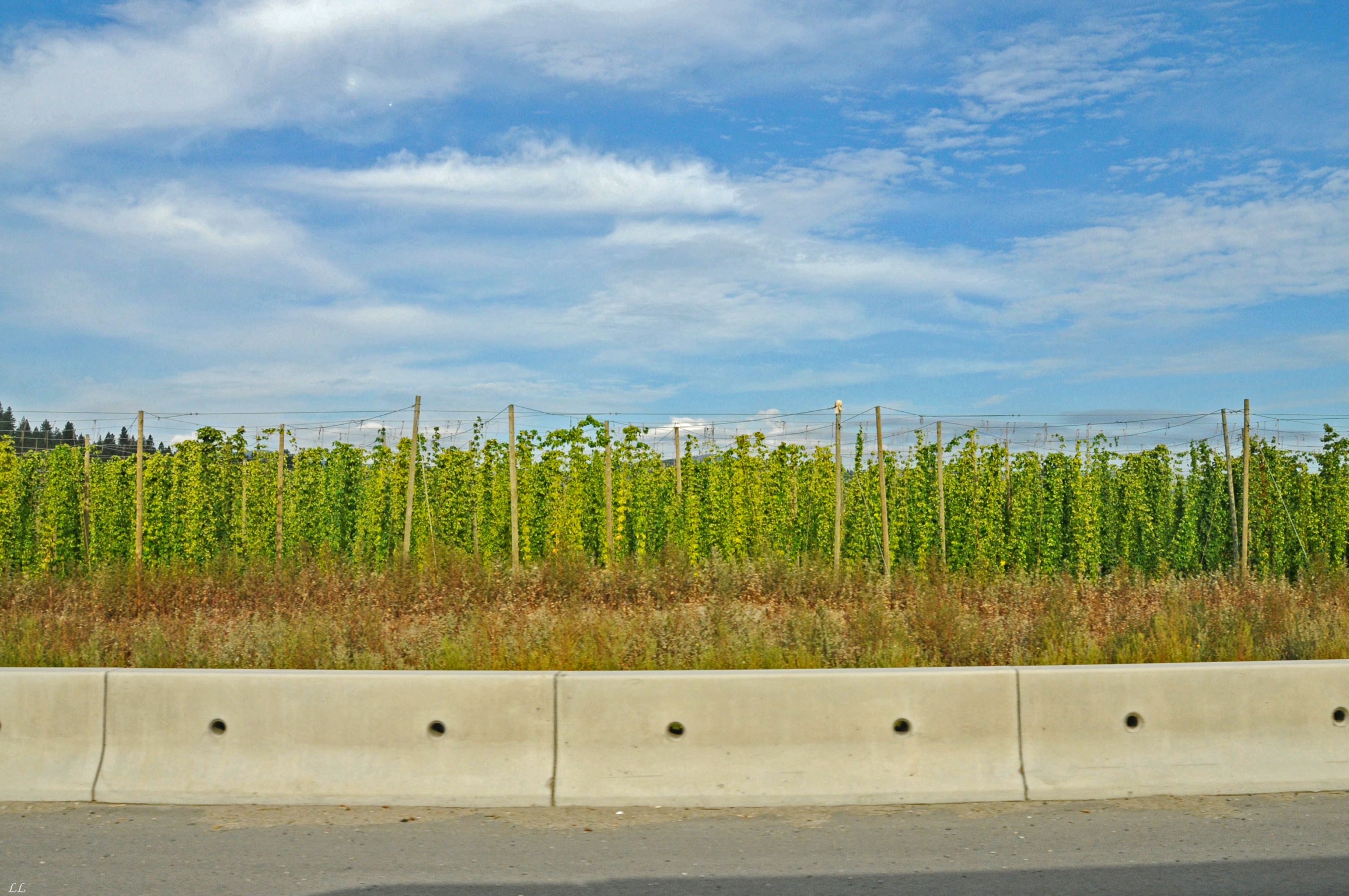
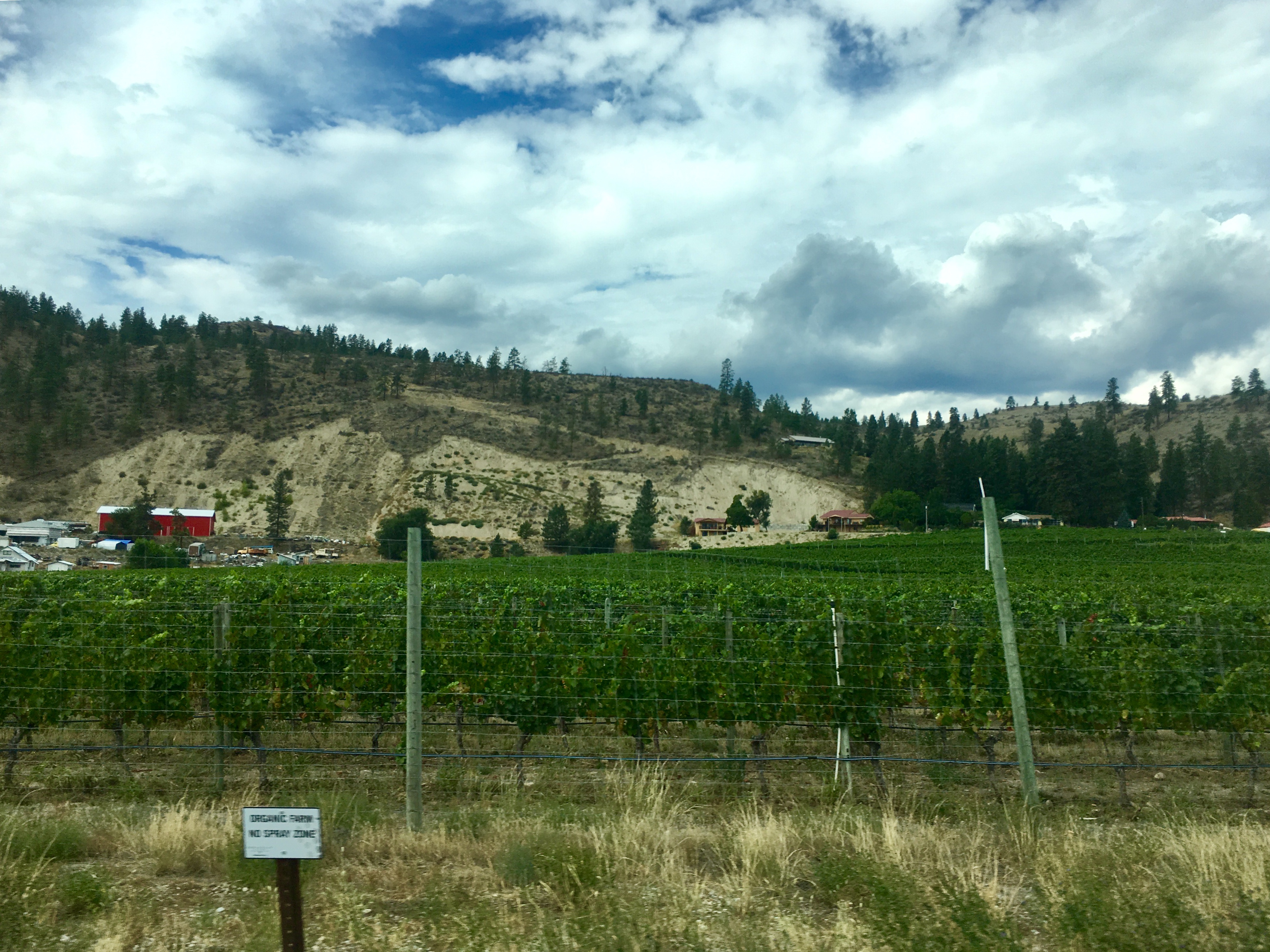
Not sure what these crops are, but the land is all fertile from the irrigation. They pull water from the lakes and rivers and then just about anything seems to grow fine. But it’s obvious where there is irrigation and where it stops. We were told that the irrigation systems are turned on several times each day.
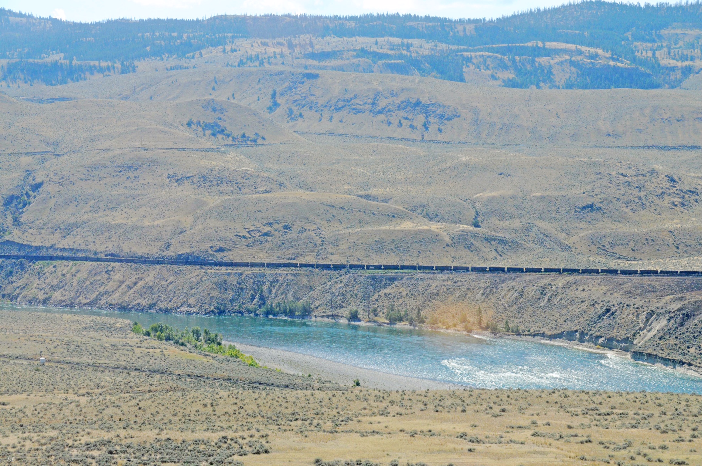
One constant on our trip south was trains. Not sure who’s following who, but the trains ran all the time!
Complete with mesas, steppes and very sparse vegetation

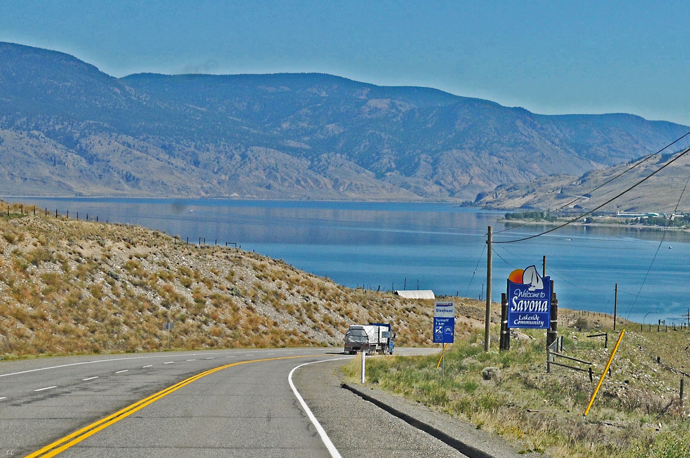
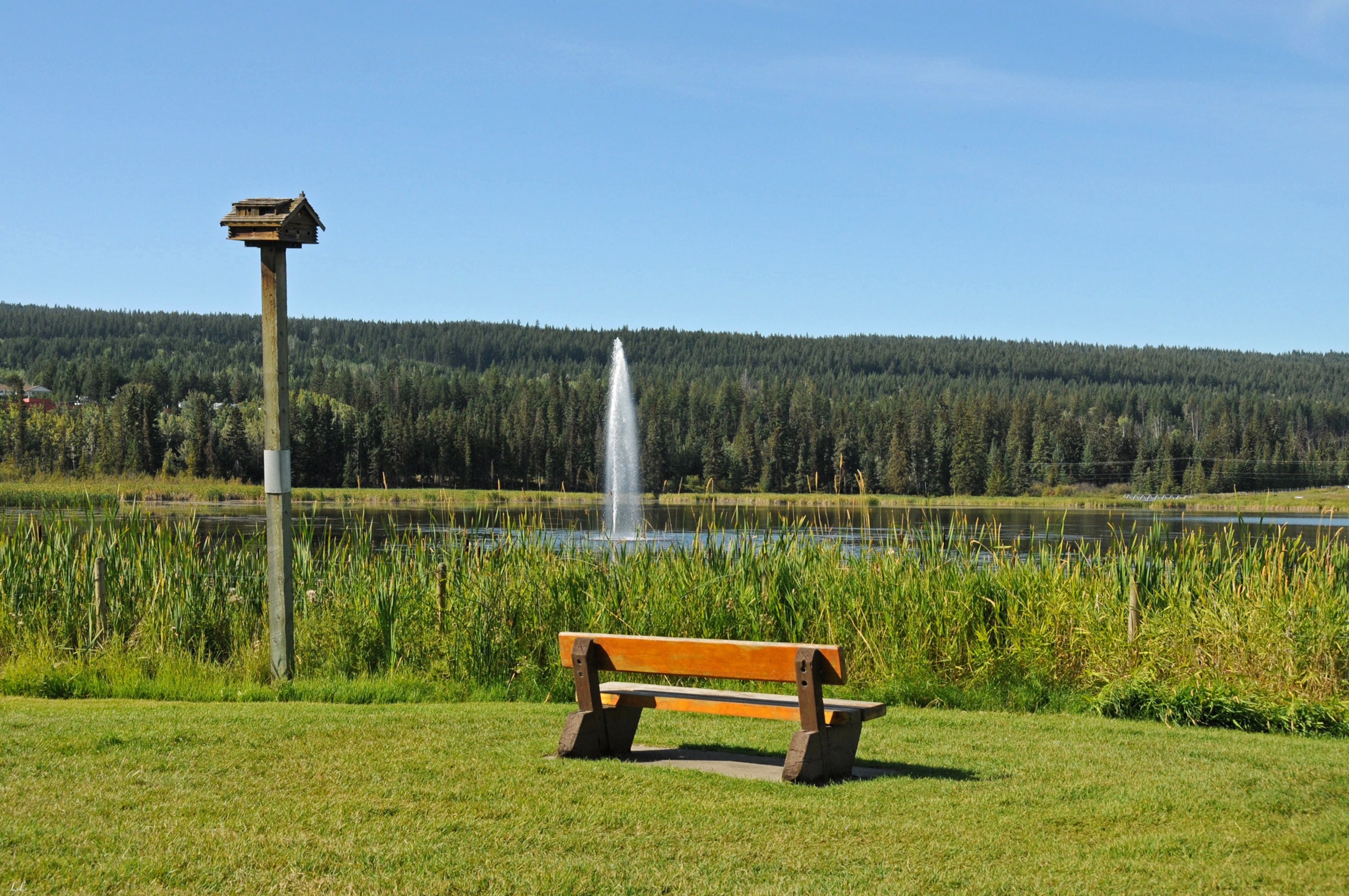
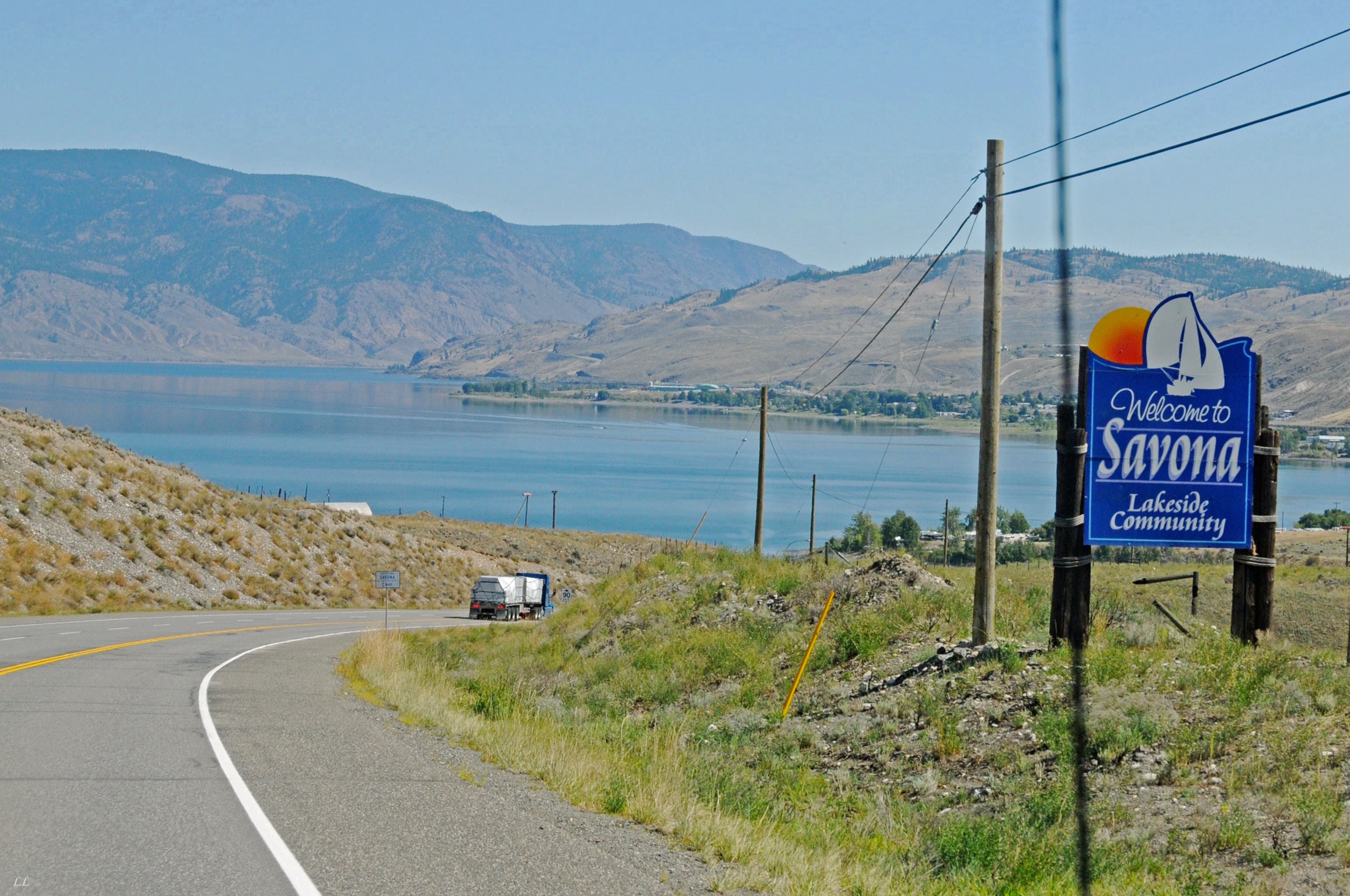
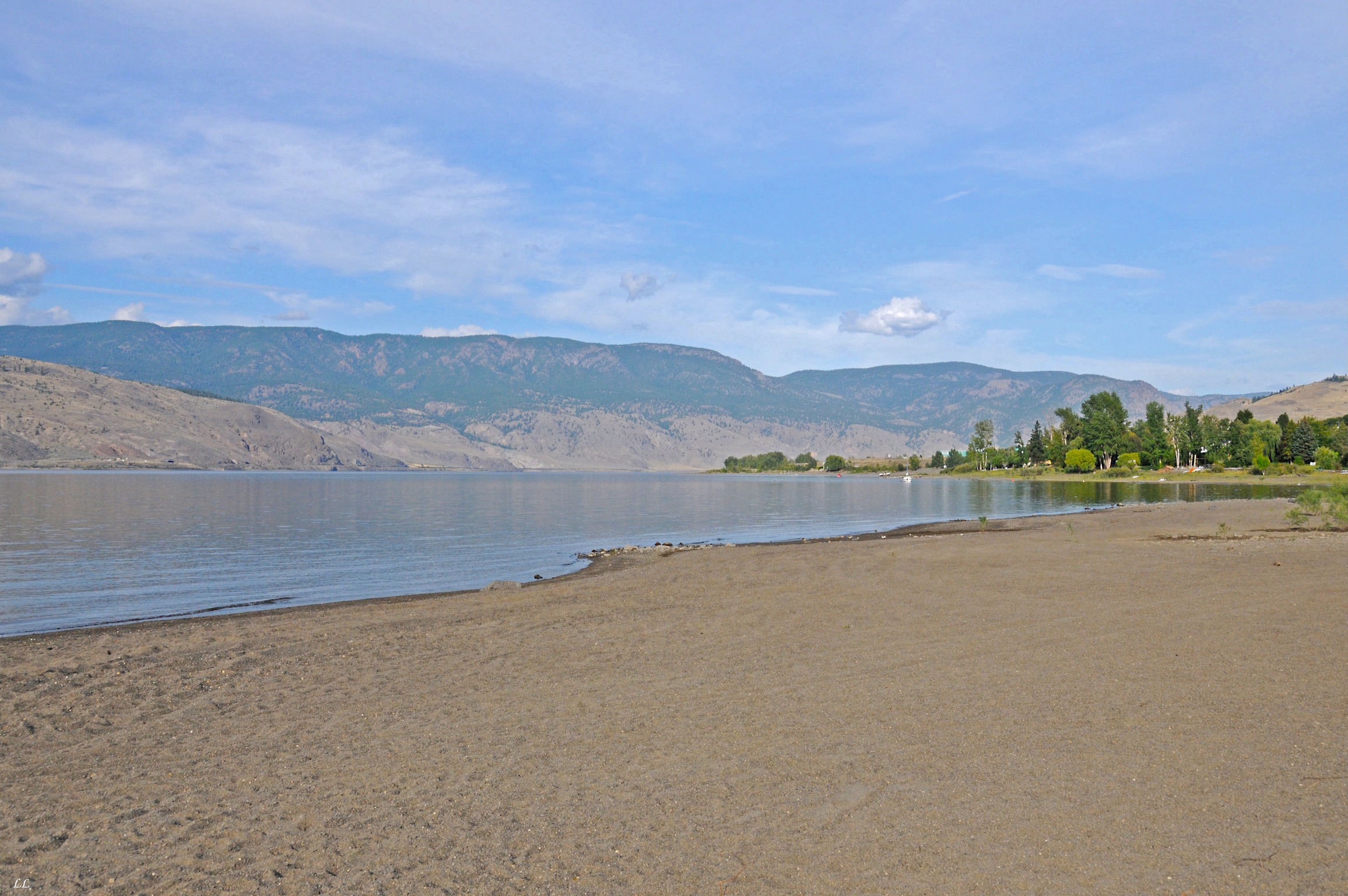
On the way North through BC, we stopped and camped at a small town named Terrace. We camped next to a couple from BC whose daughter had just moved to Terrace. After giving us lots of great advice about places to stay and routes to take, they offered us a place to park at their house on the way back south. They live in the town of Savona on Savona Lake. And it was beautiful!
Although they claimed the water was nice and warm, we decided that their thermostats were a little out of adjustment. Warm for Canada, maybe! But we did swim for the afternoon. After a while, the water felt good as a relief from the heat. Lyn and Louisa stayed in the water longer; I quit after a while and helped Bill do some wiring on their camper.
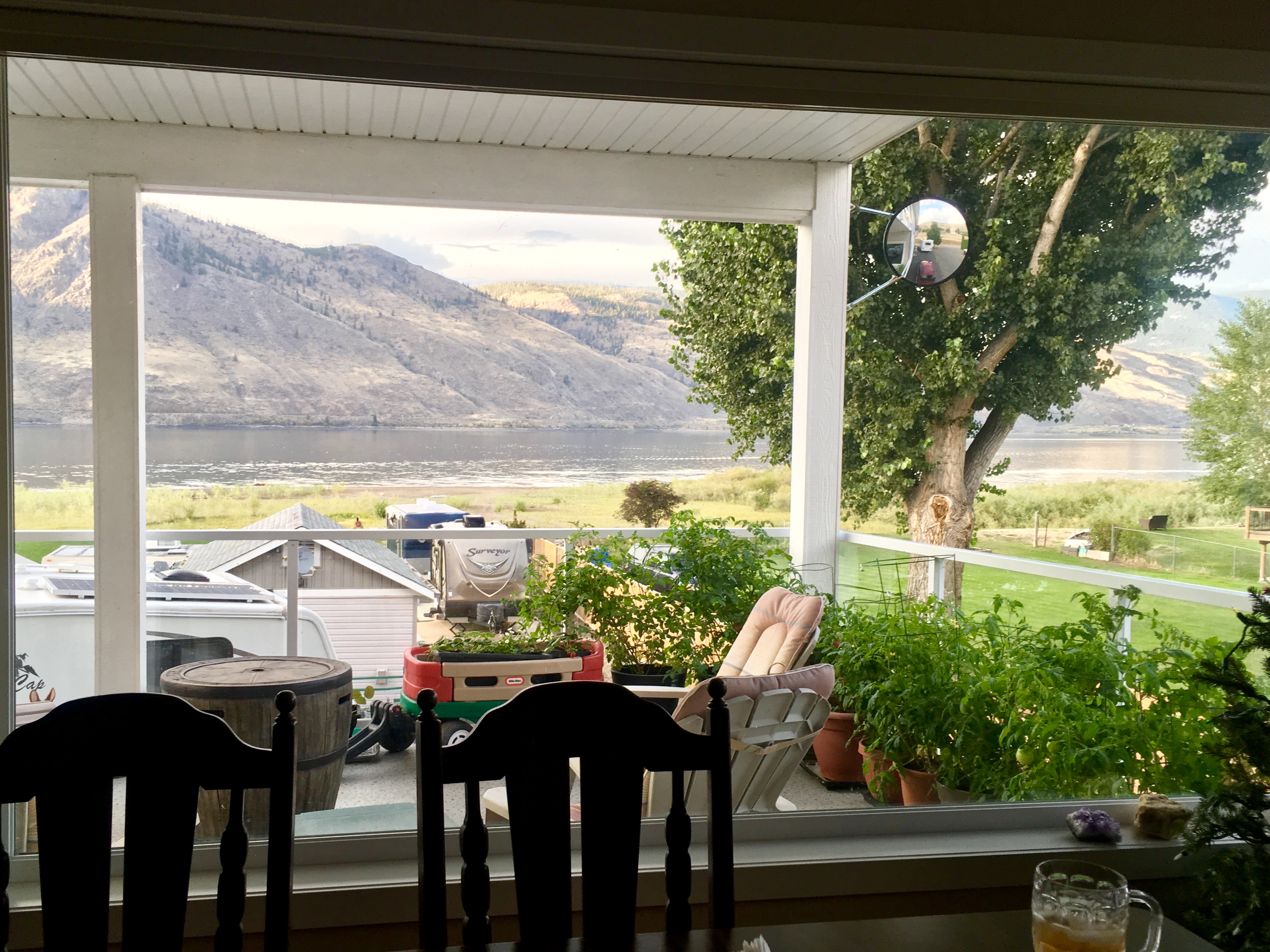
Nice view!
They have even installed a 30 amp RV outlet on the outside of their garage!
Hmm – thinking there might be a mosquito issue here?
The lake is huge!
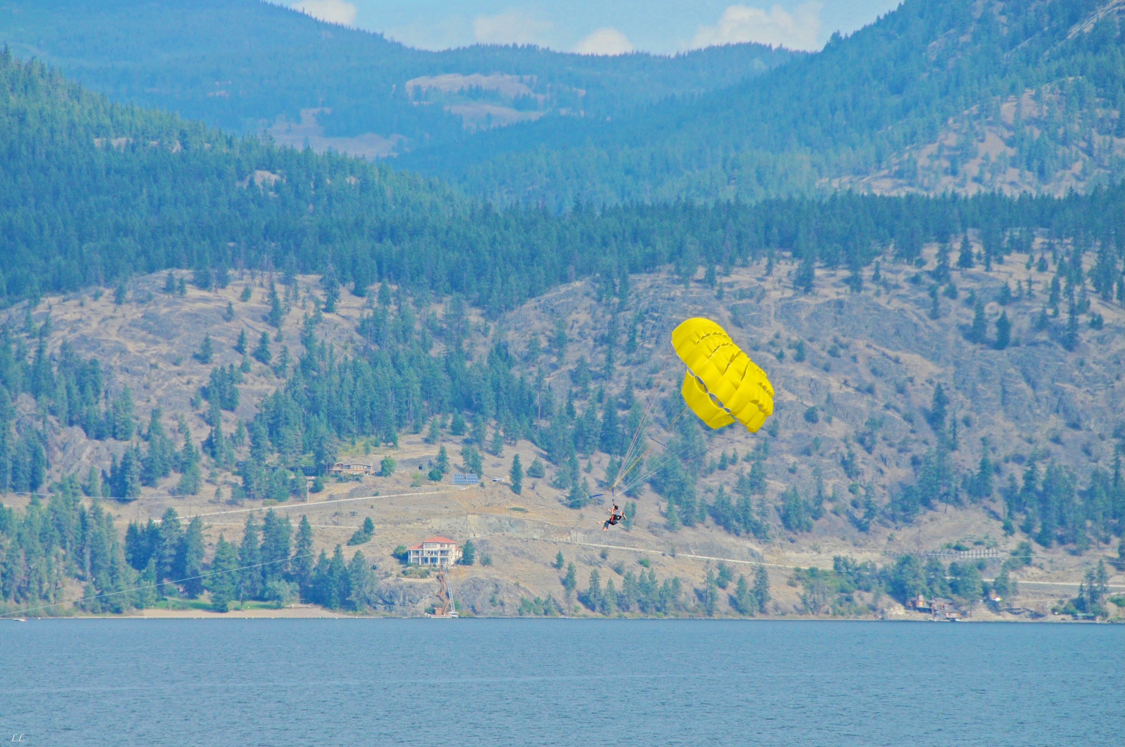
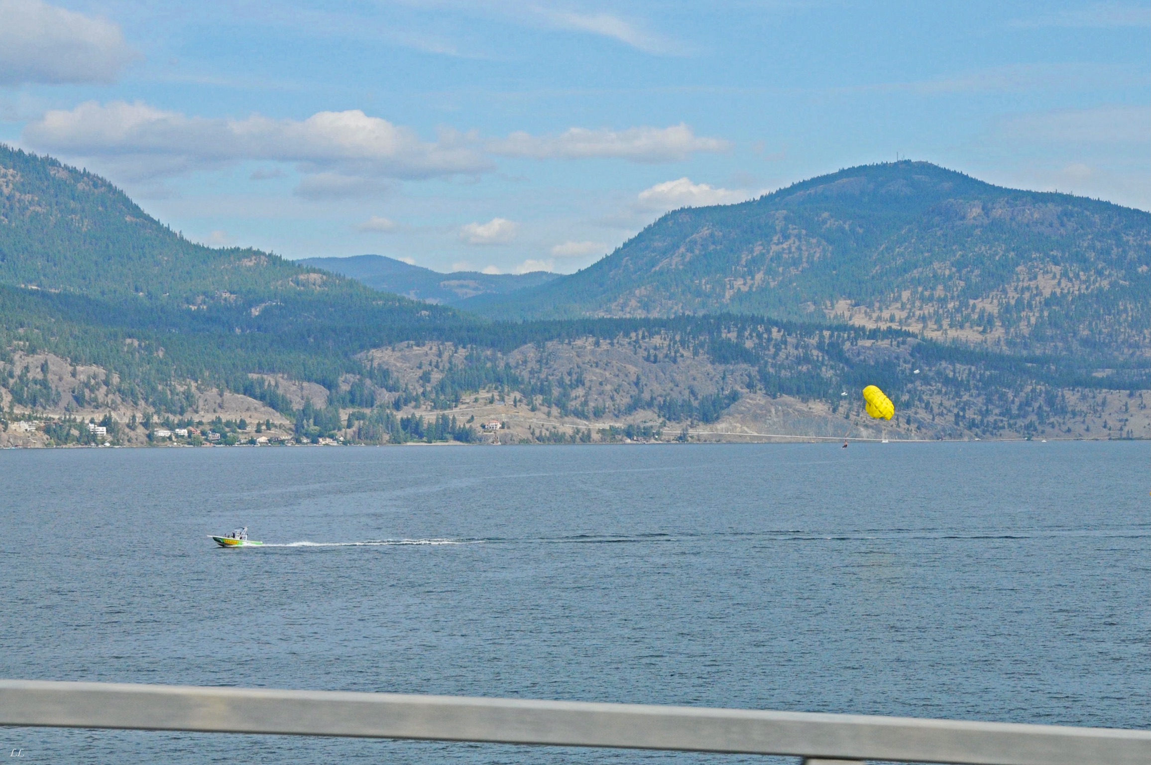
Lots of toys on the lake. We drove through here on the Saturday of Labor Day weekend. Canadians celebrate and it’s their last long weekend before winter starts so it seems like everyone was out camping. So we decided to make a run for the border rather than linger too long.
A large campground along the edge of the lake. We never saw a road leading down the hill but it looks like a nice spot!
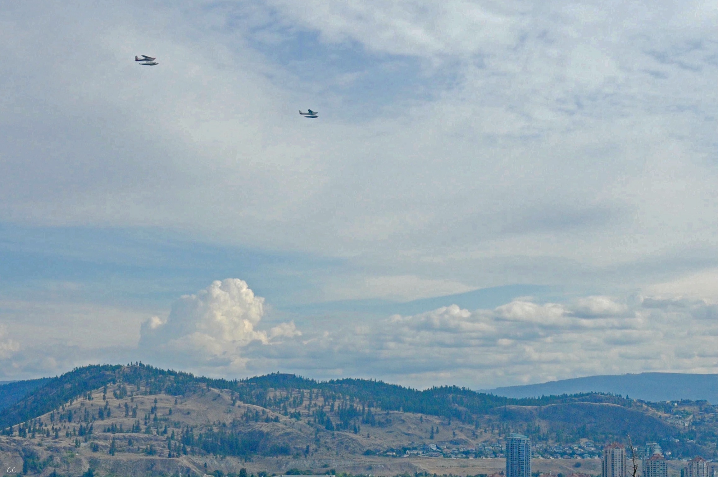
Float planes – they’re everywhere!
Lots of crops, all on irrigated land.

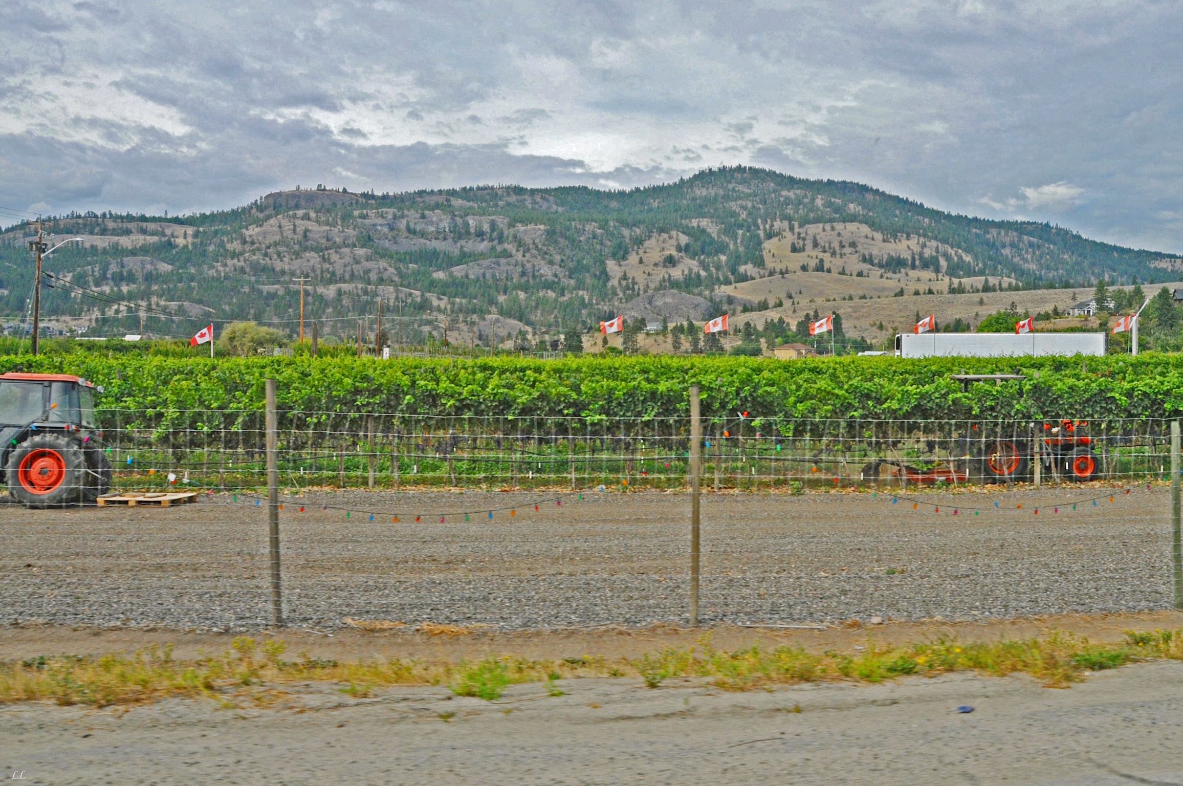
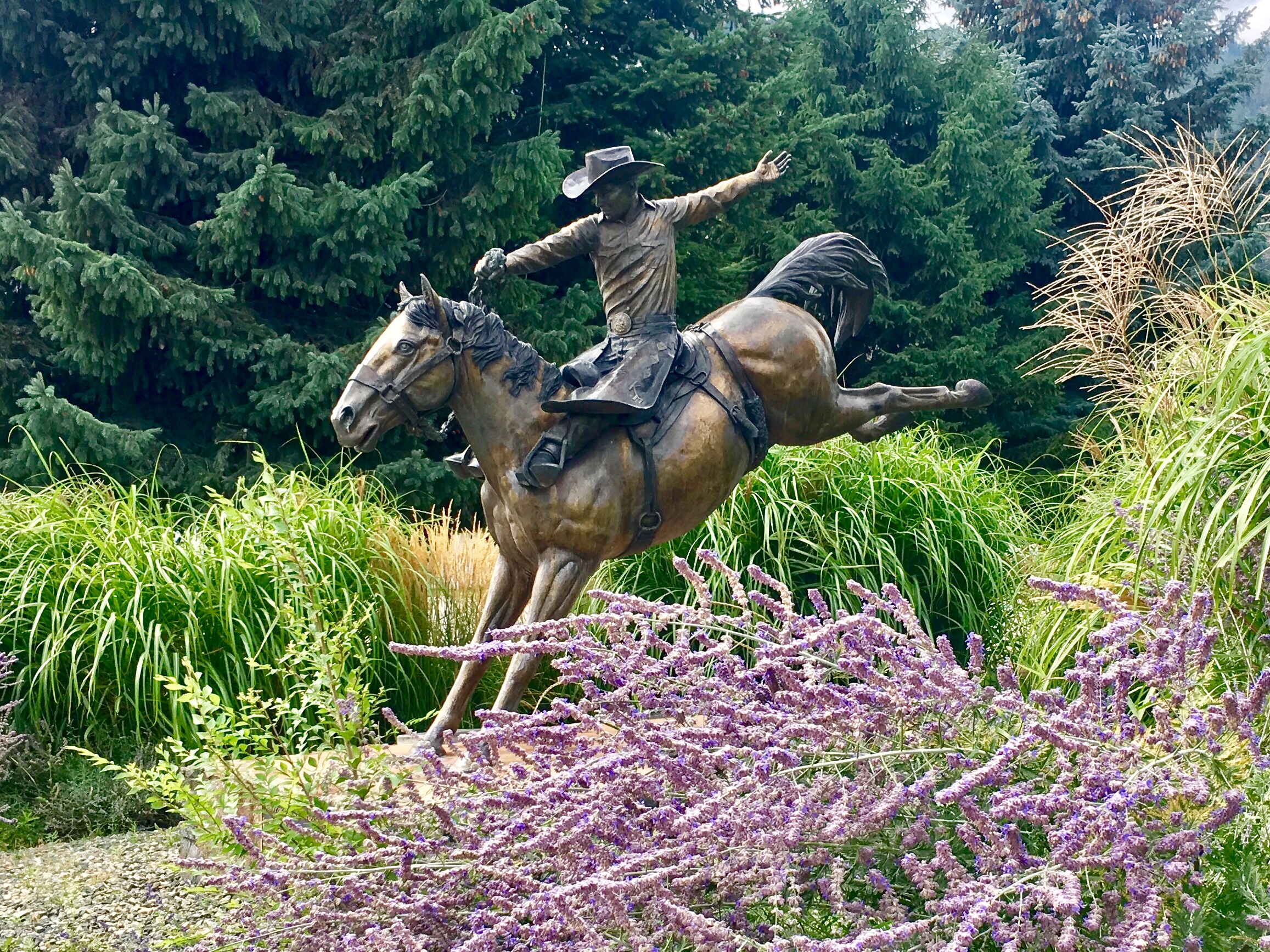
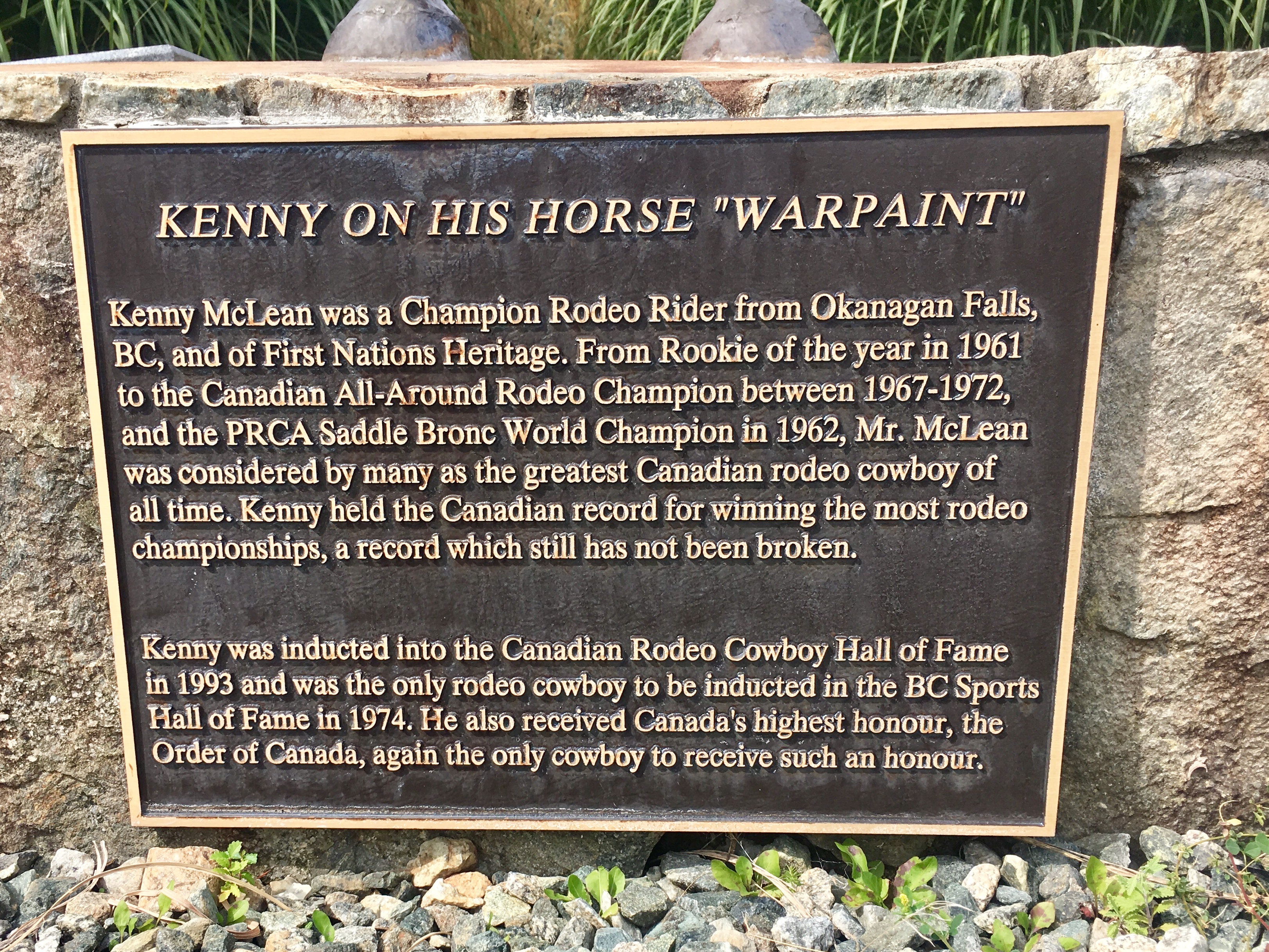
Given the desert conditions, it shouldn’t be too surprising that there is a strong rodeo culture in the area.
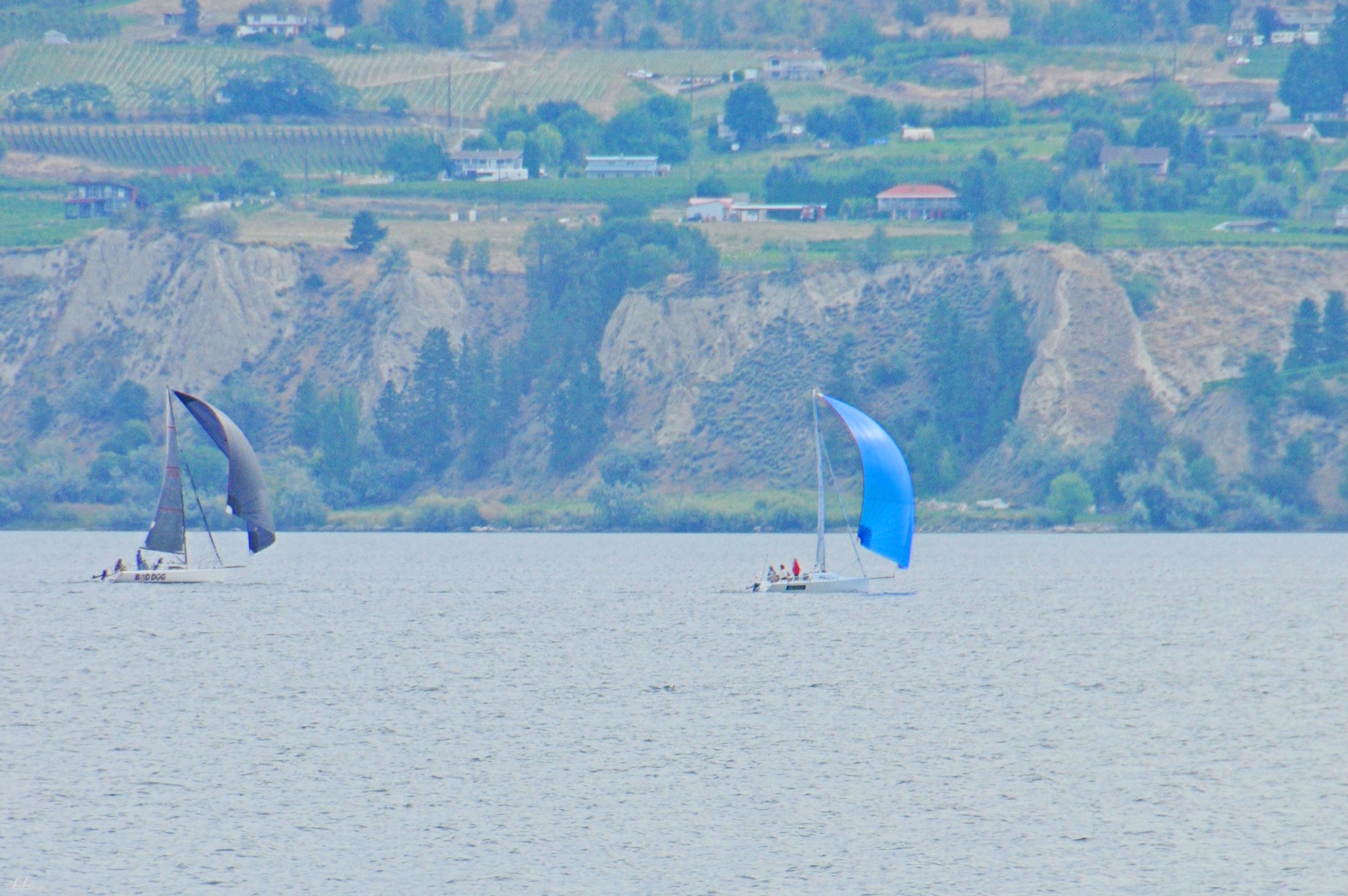
We didn’t see many sailboats on our trip. This was one of the few lakes large enough to make it attractive. Of course, several sailboats equals a race. In this case, it was a full on regatta.
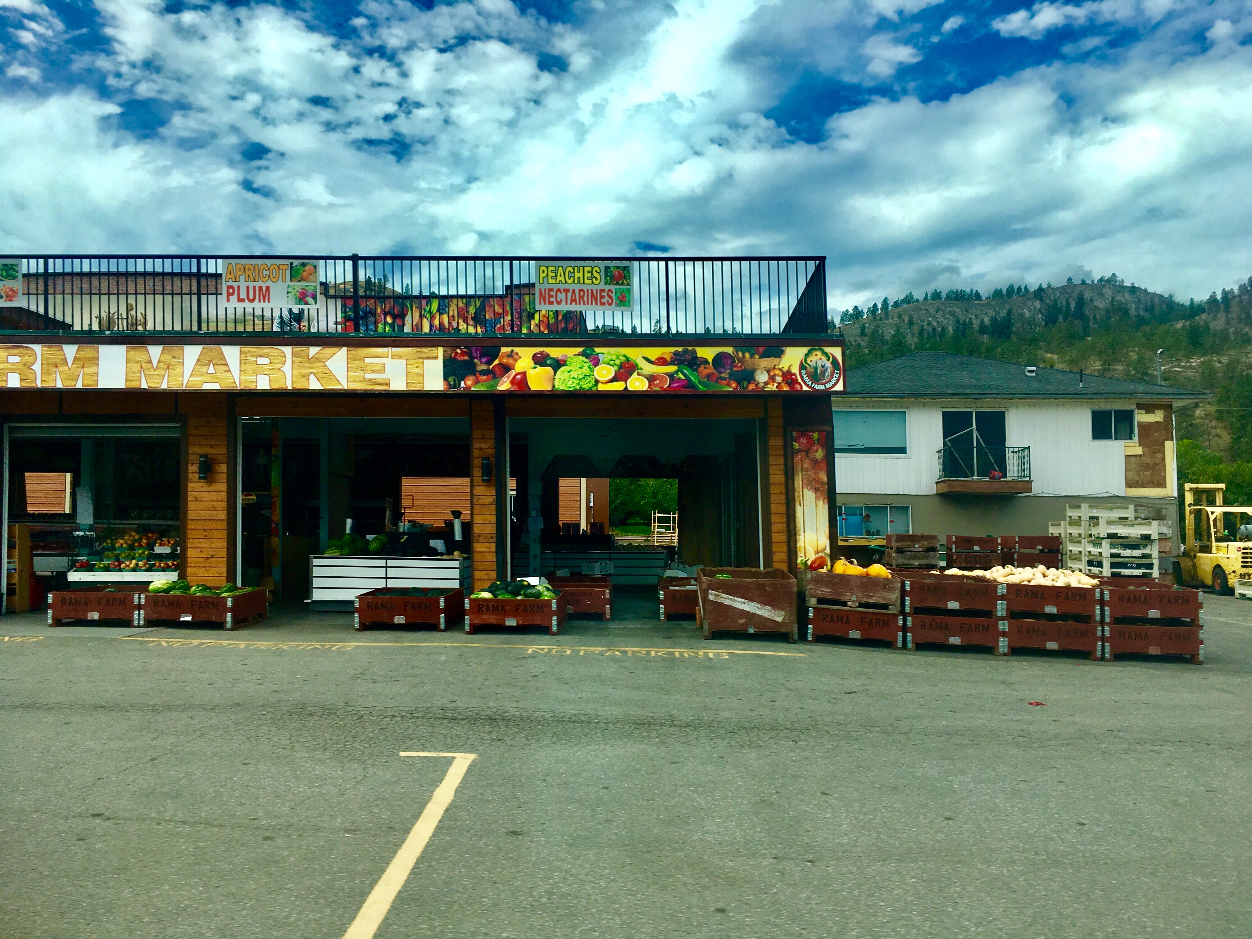
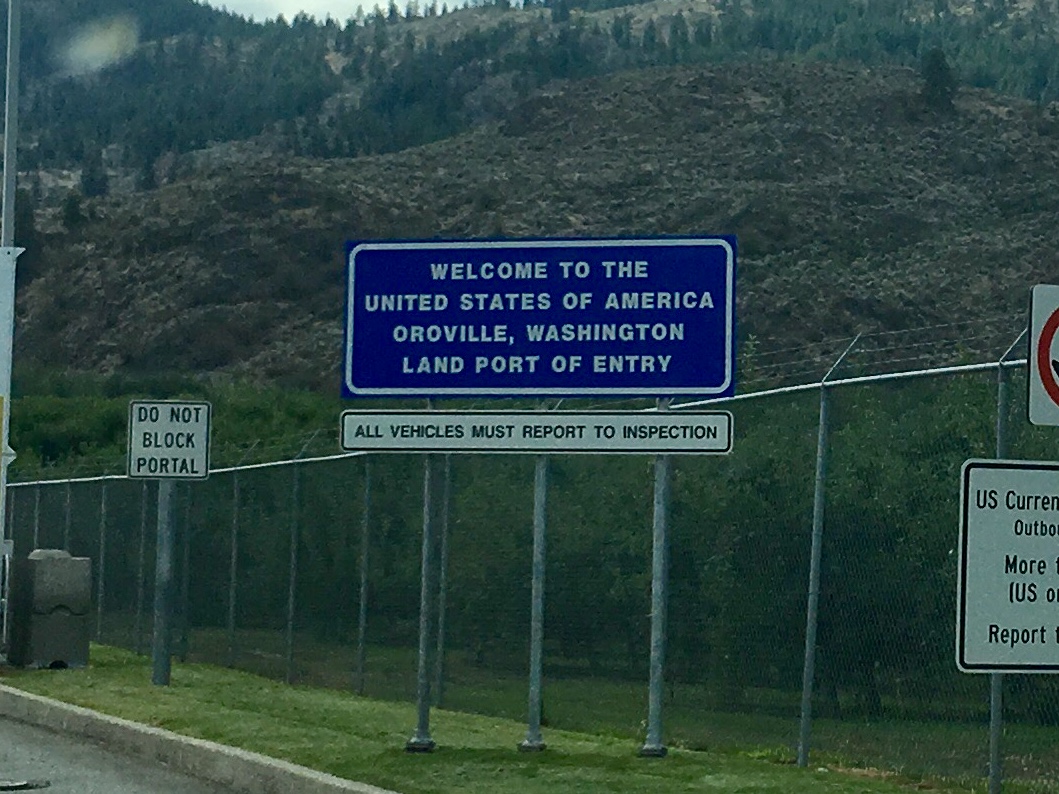
At the south end of the valley, the landscape turned lush with vineyards and orchards everywhere. One frustrating aspect is that we were headed to the border and no fresh fruits or vegetables are allowed across. So we passed up all the stands. And, like just about every other car and camper, we were stopped and searched for fruits and vegetables! Then on the US side of the border – no fruits, no vegetables. Bummer!
But if not…
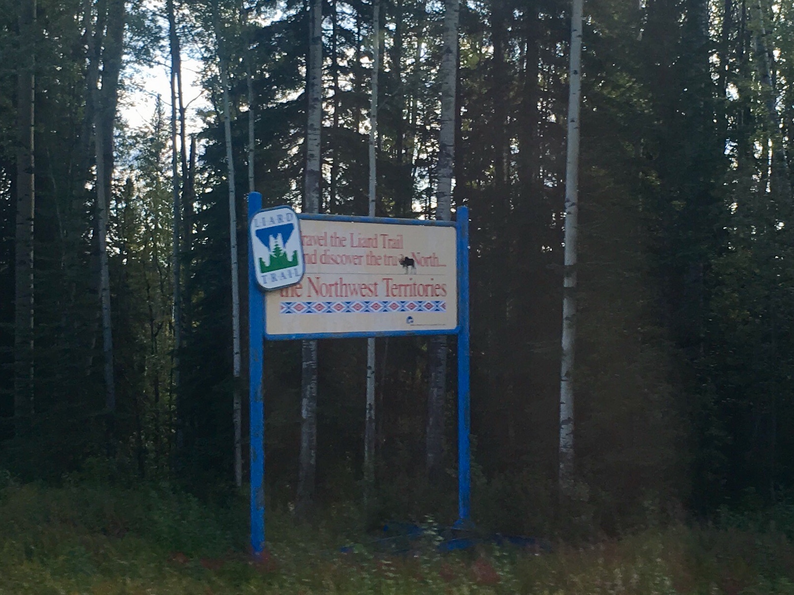
On our way north, we met a couple from BC and talked routes and places. They offered that we should make our return trip through the Lakes region west of the Rockies. After looking at the maps and pondering the various options, we agreed that it was a good plan. So we turned at Dawson Creek and headed down the valley.
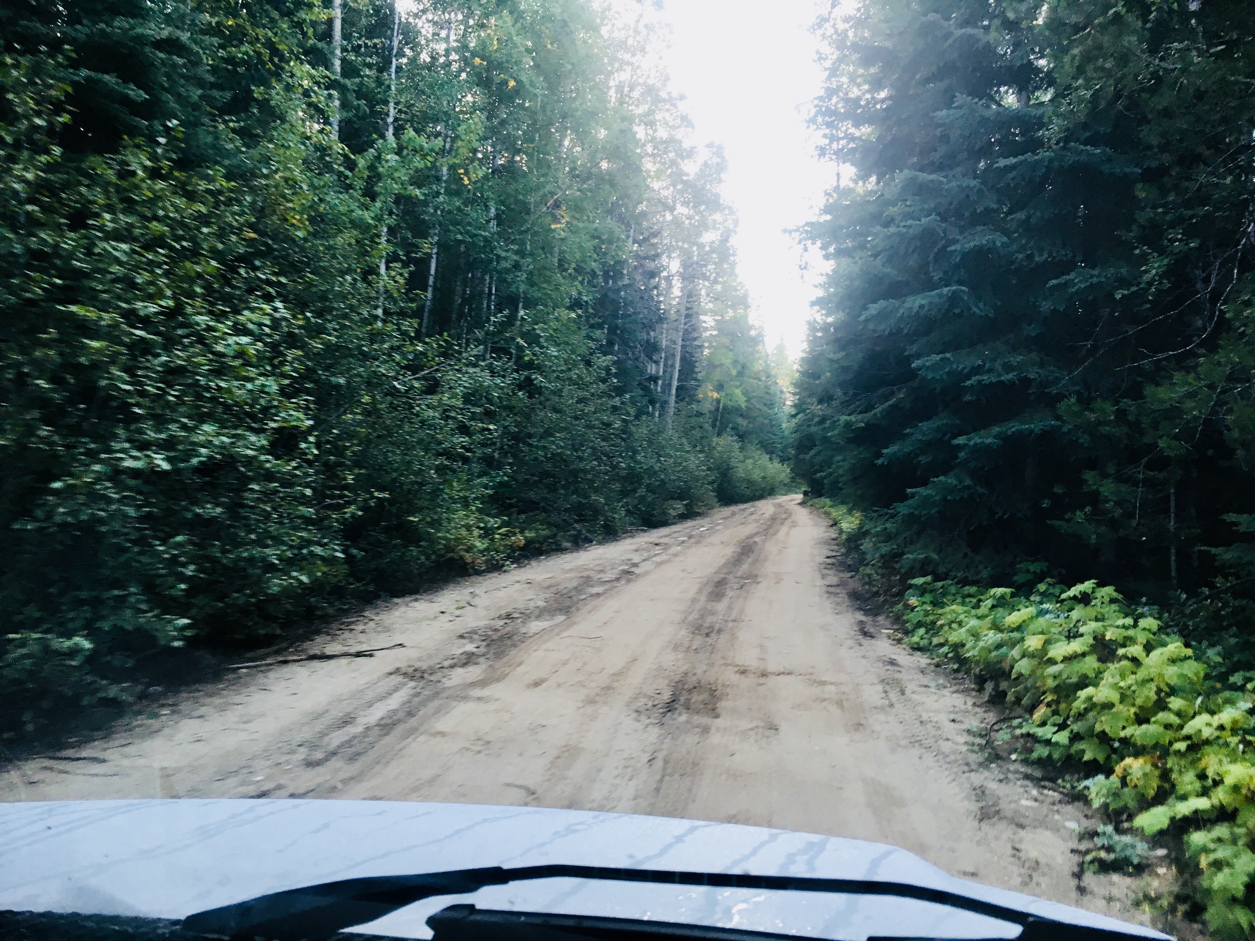
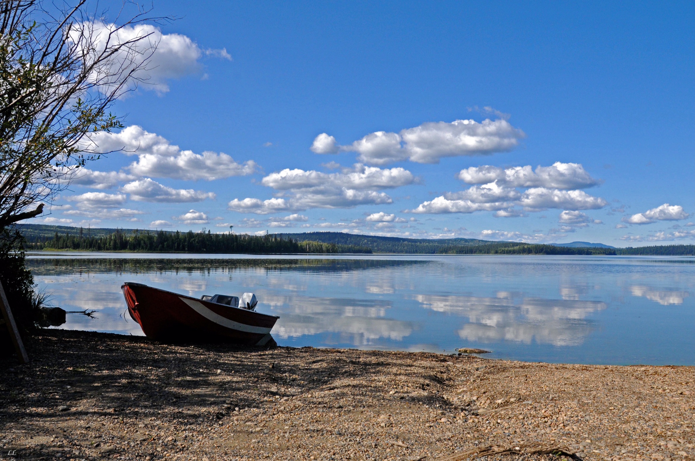
Our tolerance for challenging road conditions has slowly gotten laxer. Davie Lake was at the end of this stretch, most of which was driven at 5-10 mph to keep our teeth from getting jarred too badly. But the lake was beautiful.
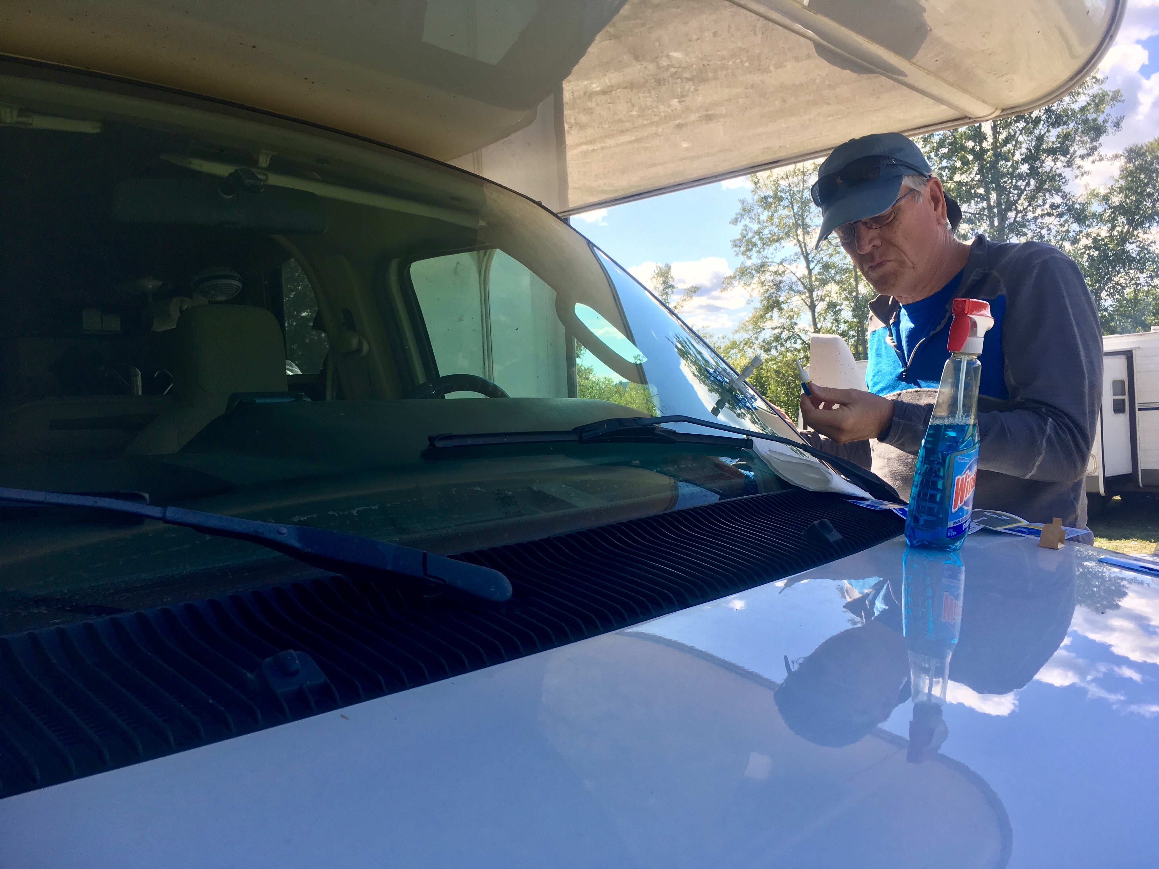
We took the opportunity to try and patch up the dings on the windshield. Although we were advised to expect that Alaska would claim our windshield, it was not to be. All three of our dings came after we crossed back into Canada!
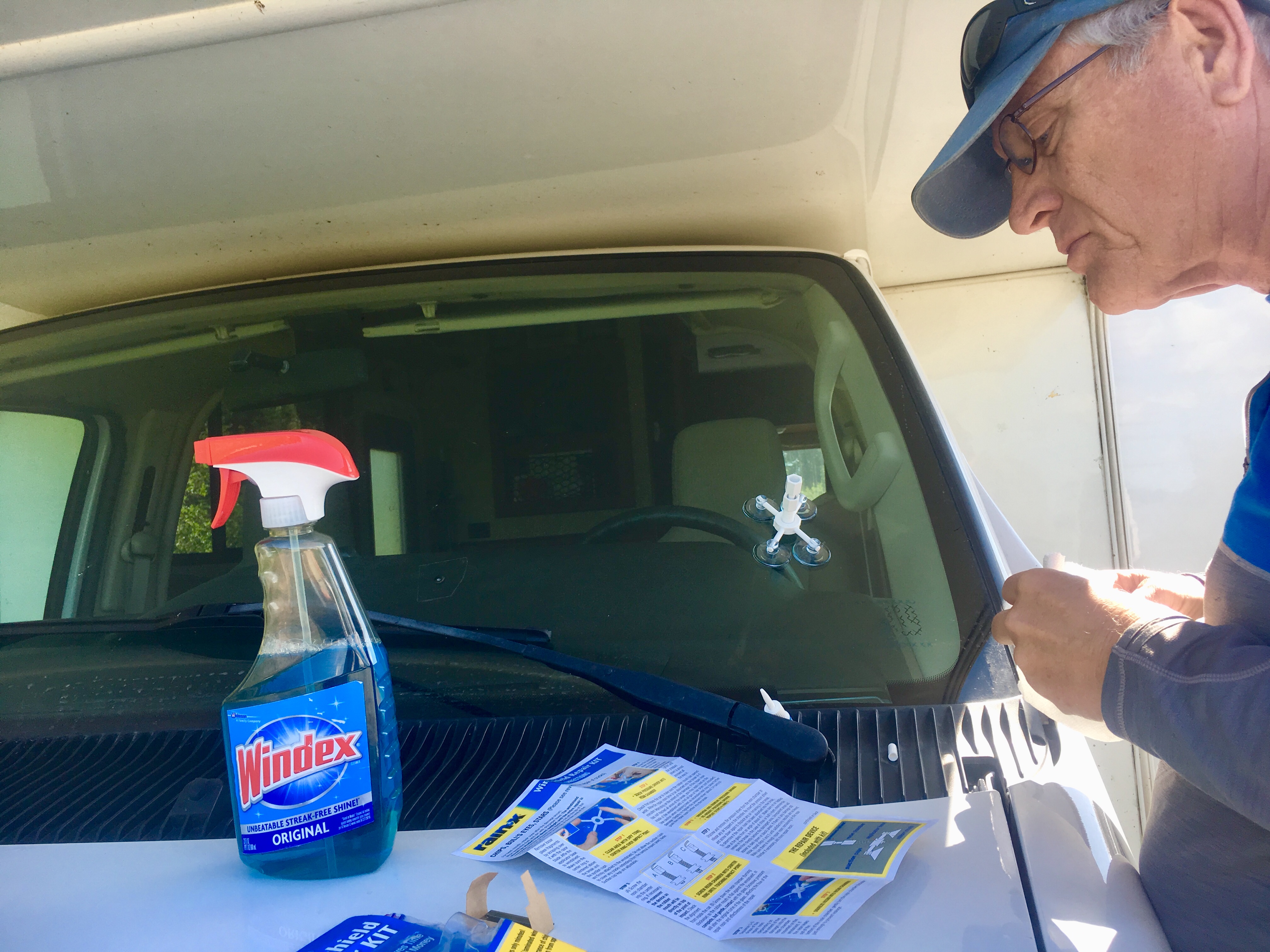
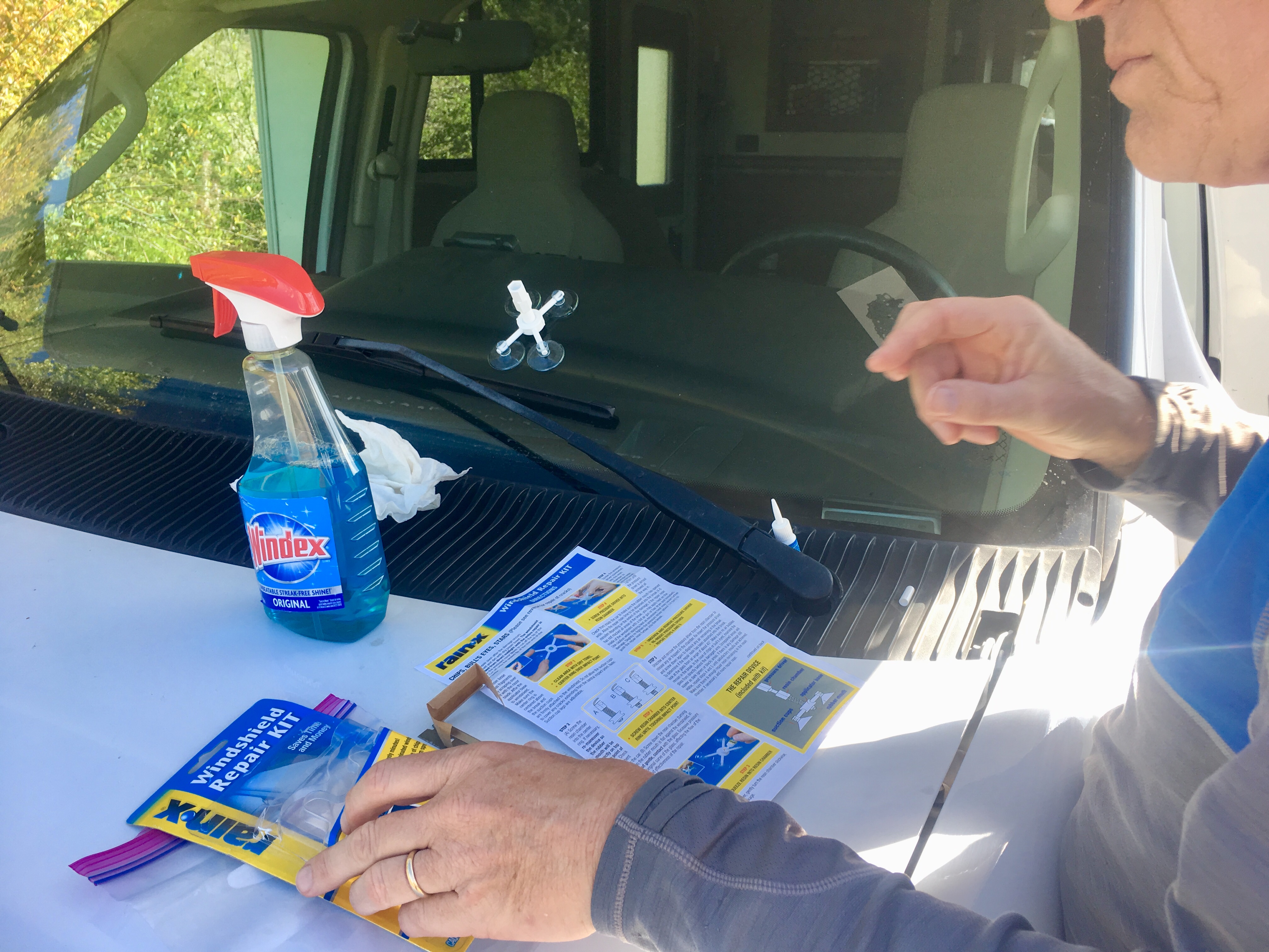
The instructions said that chips were pretty straightforward but that cracks were iffy at best. We had 2 chips and 1 crack. The instructions were right – the crack was not fixable and continues to slowly spread across the windshield.
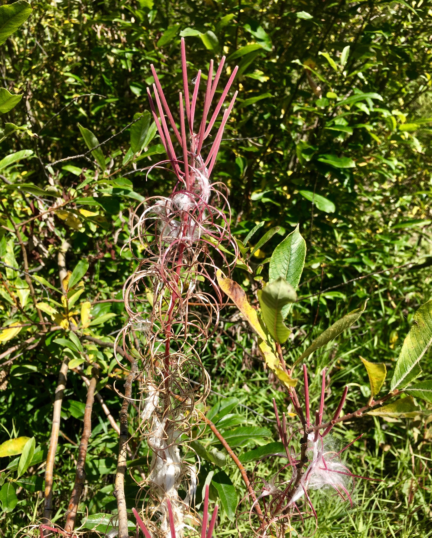
The fireweed is definitely done for the season. As one Alaskan told us: it does not mean that summer is over. It means that winter is here!


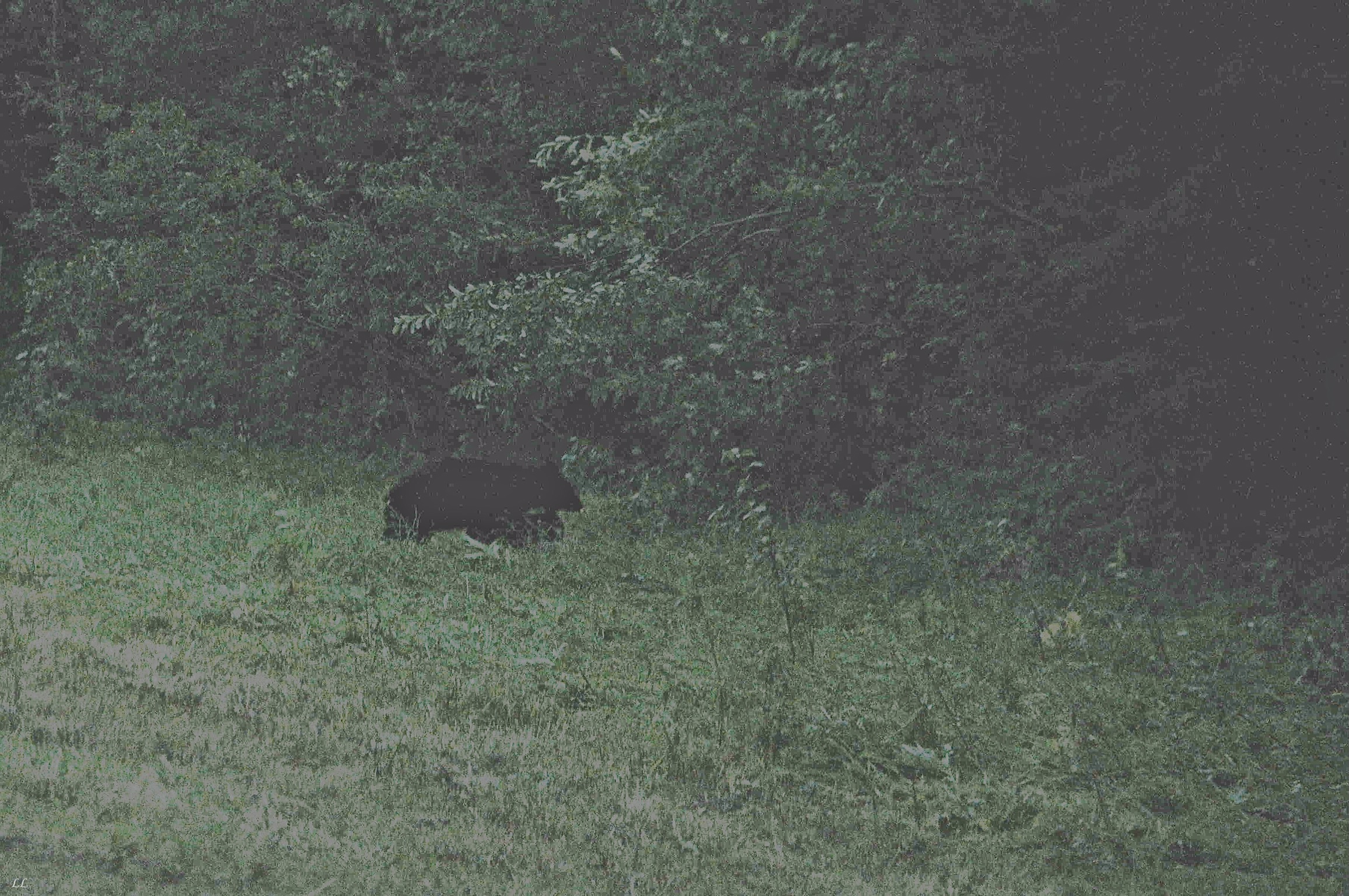
Davie Lake provided us with some fun evening entertainment. A fairly large black bear decided he liked the scent of several campers grilling and meandered into the campground. Fortunately, it turned out that he liked the berries in the bushes along the lake better and so wandered away. But, at least in our minds, he was never far away and we stayed cautious the rest of the evening.


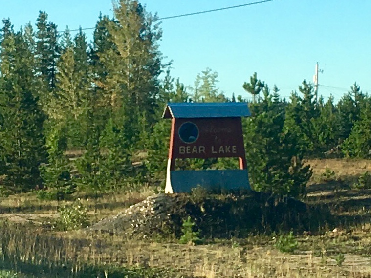
Hmm – why was the bear at Davie Lake and not Bear Lake? Actually, the road to Bear Lake was much longer and looked to be worse than the road into Davie Lake.
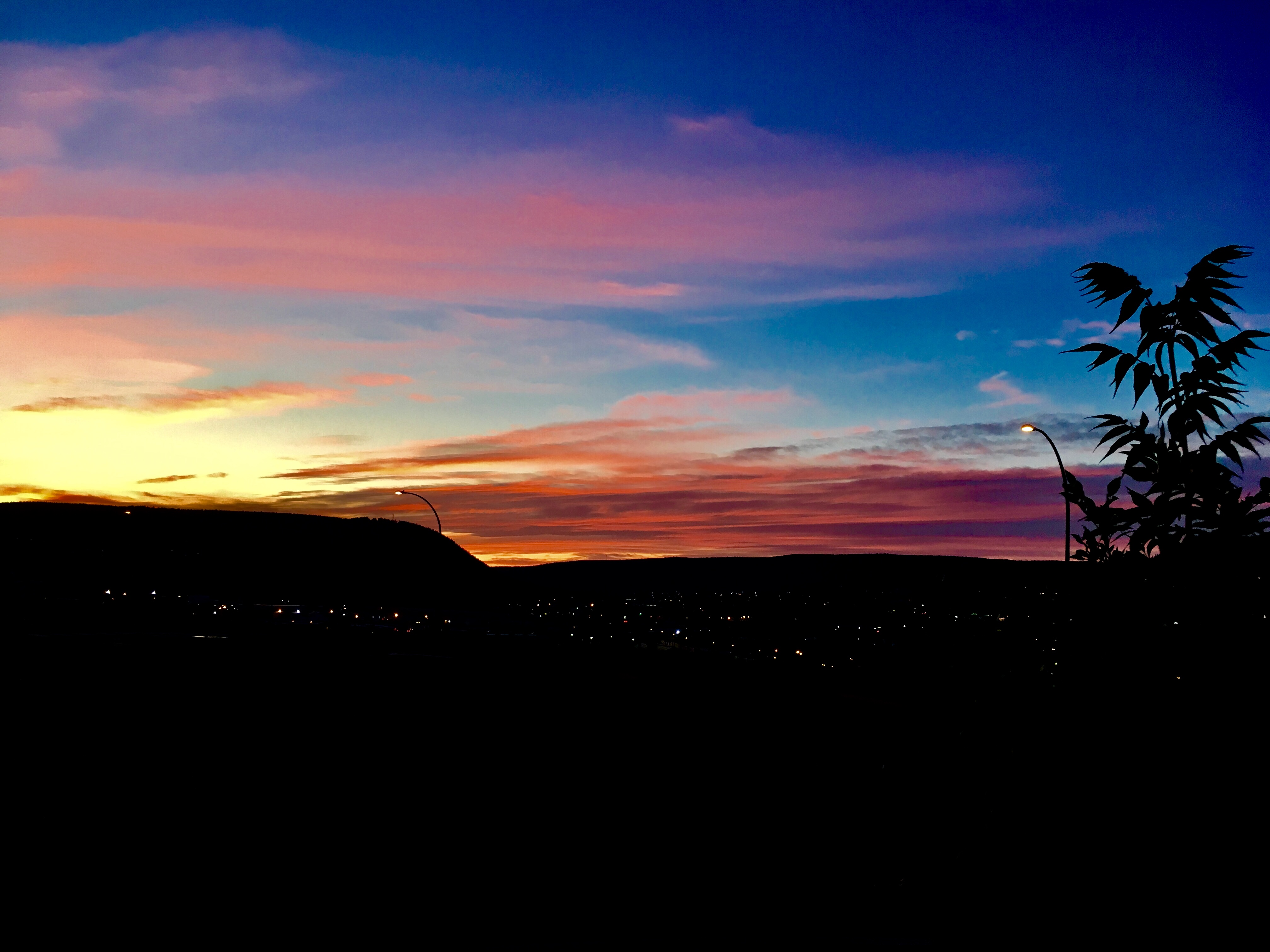
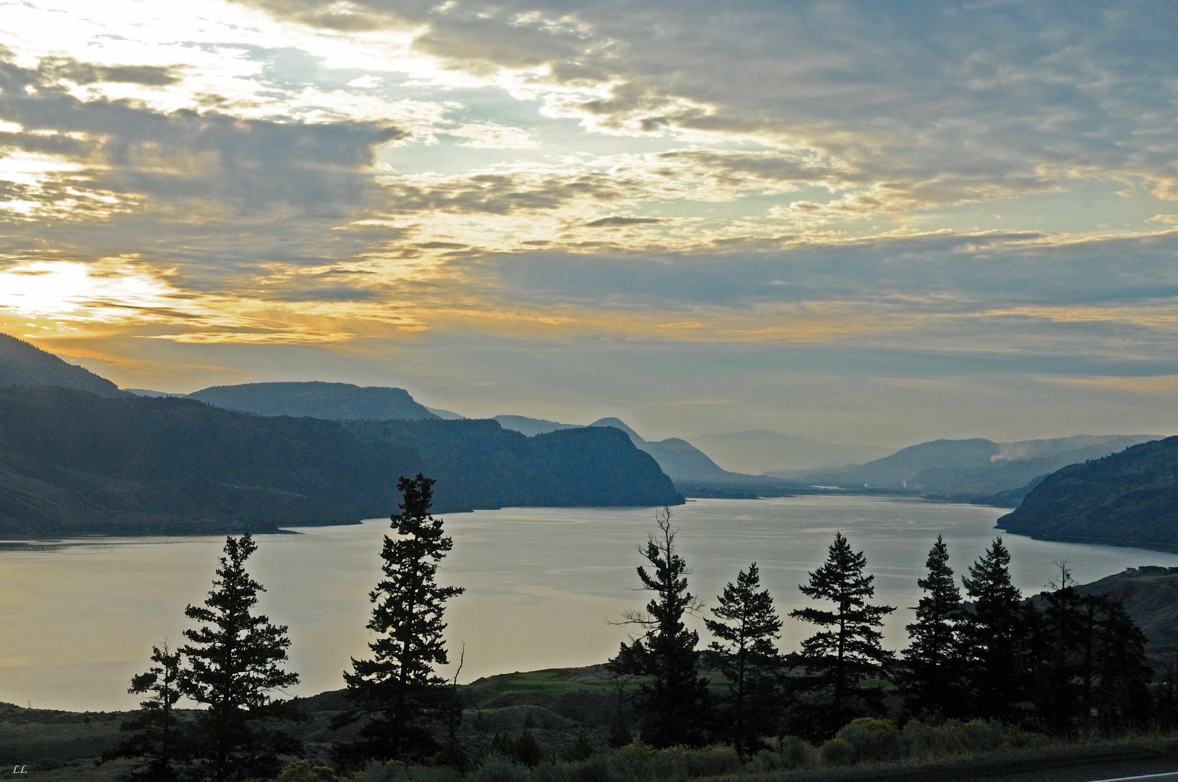
A gorgeous sunset over Williams Lake
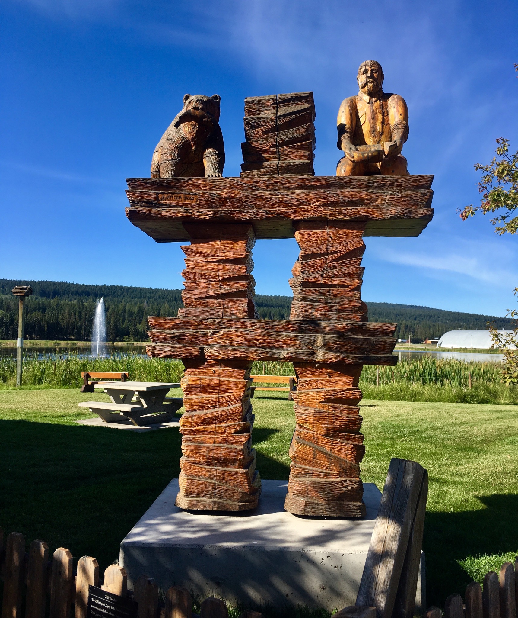
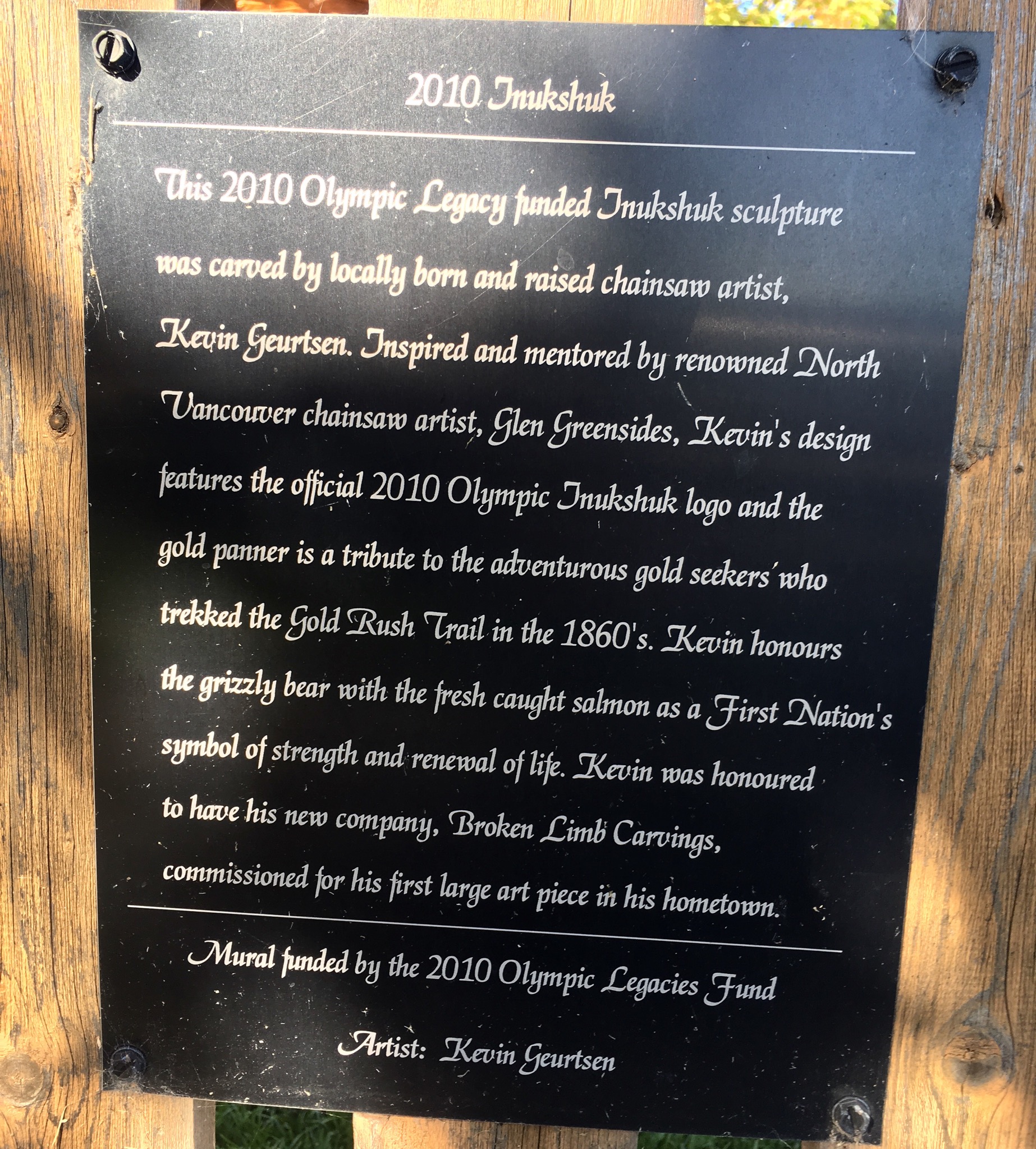
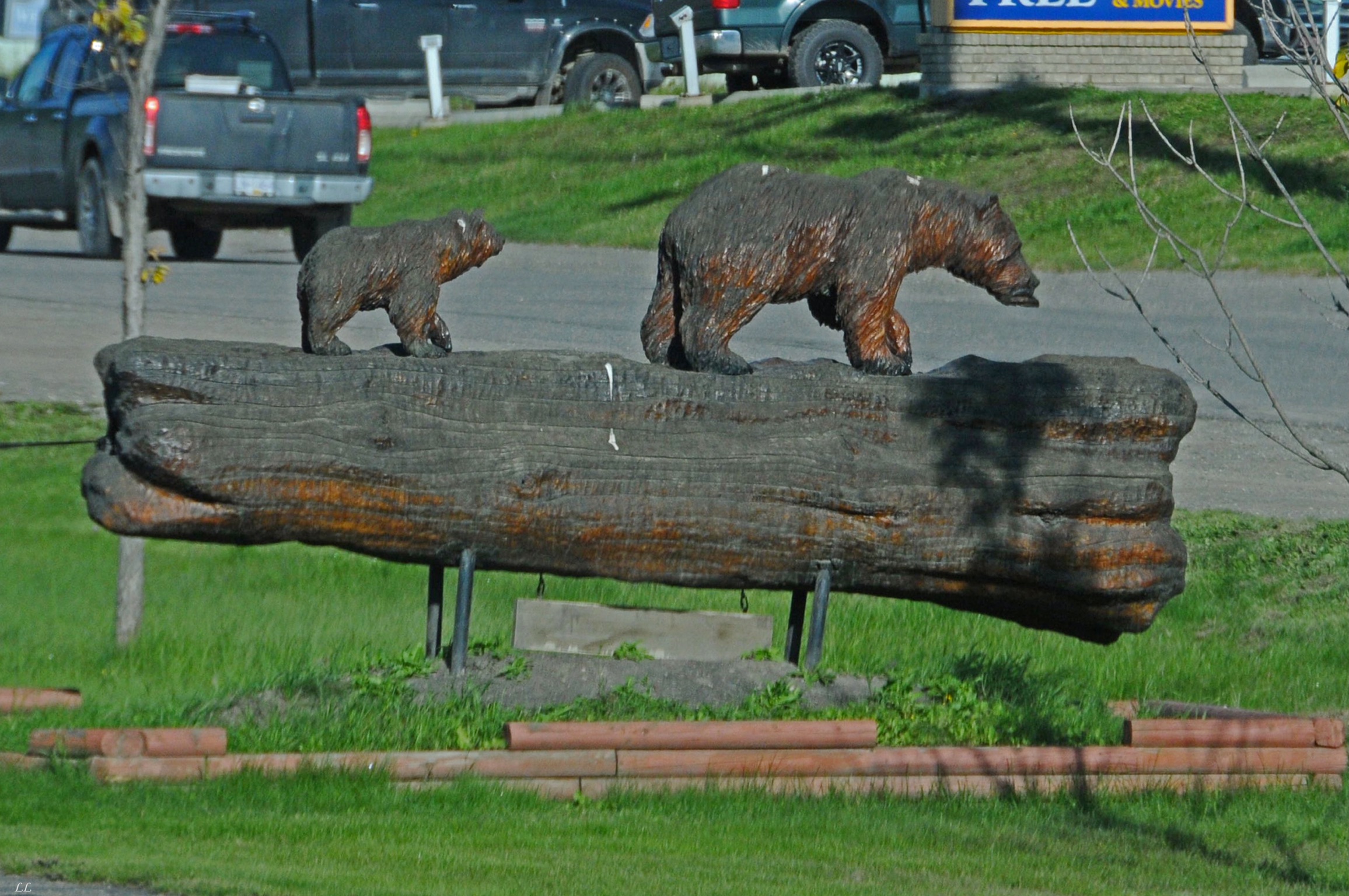
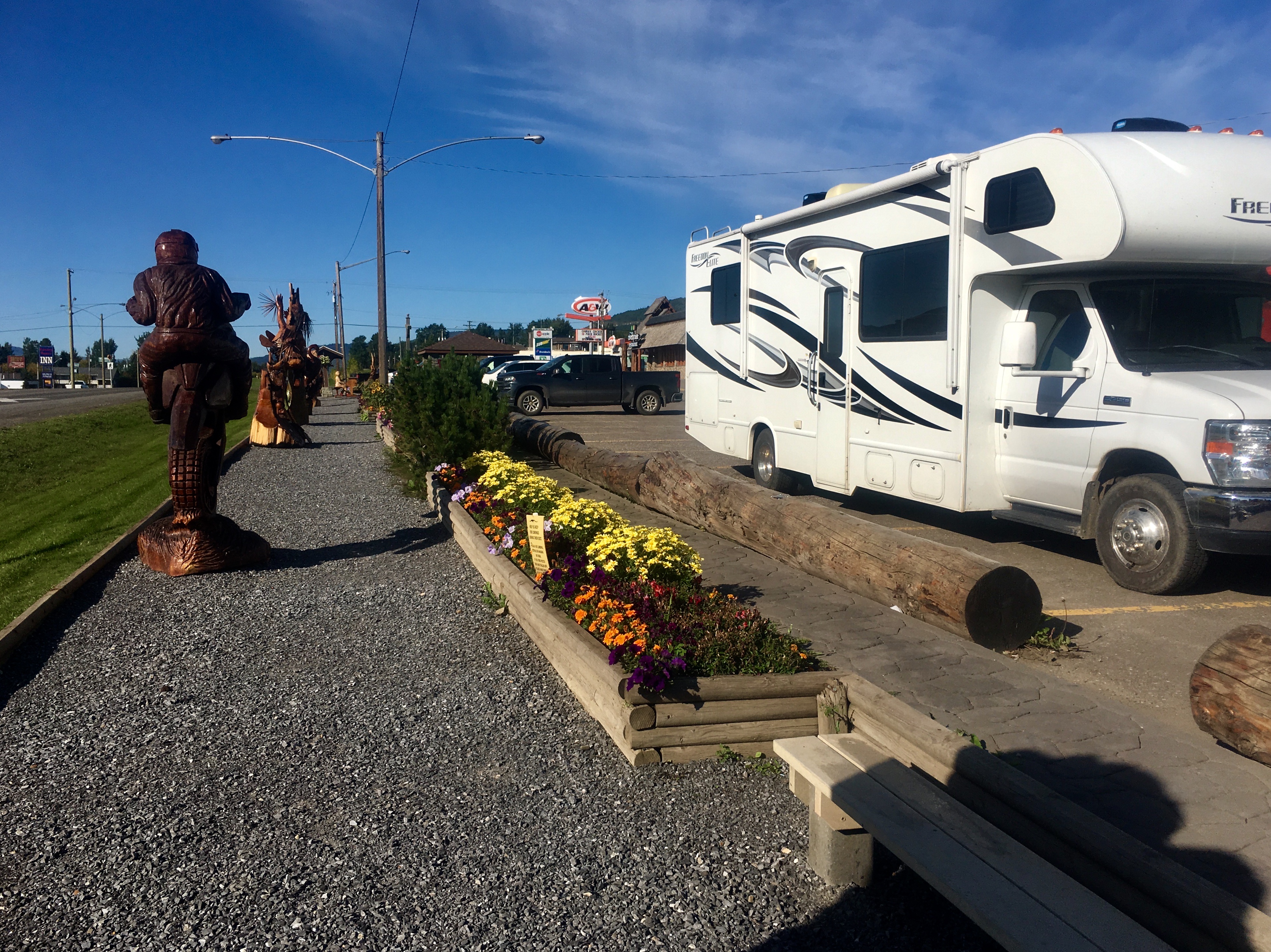
More chainsaw art. I guess people spend so much time with chainsaws as a normal part of life that their creative juices get flowing.
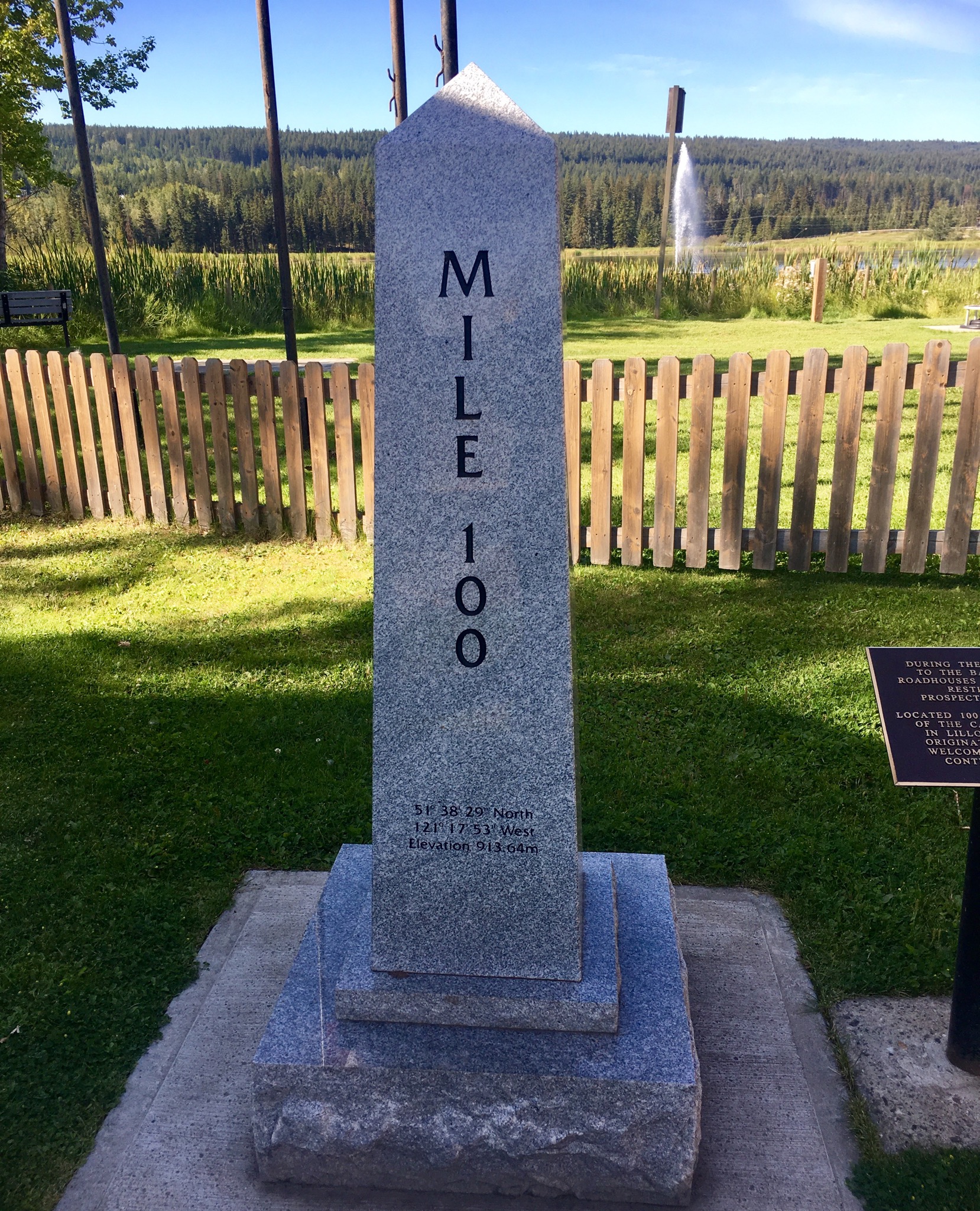
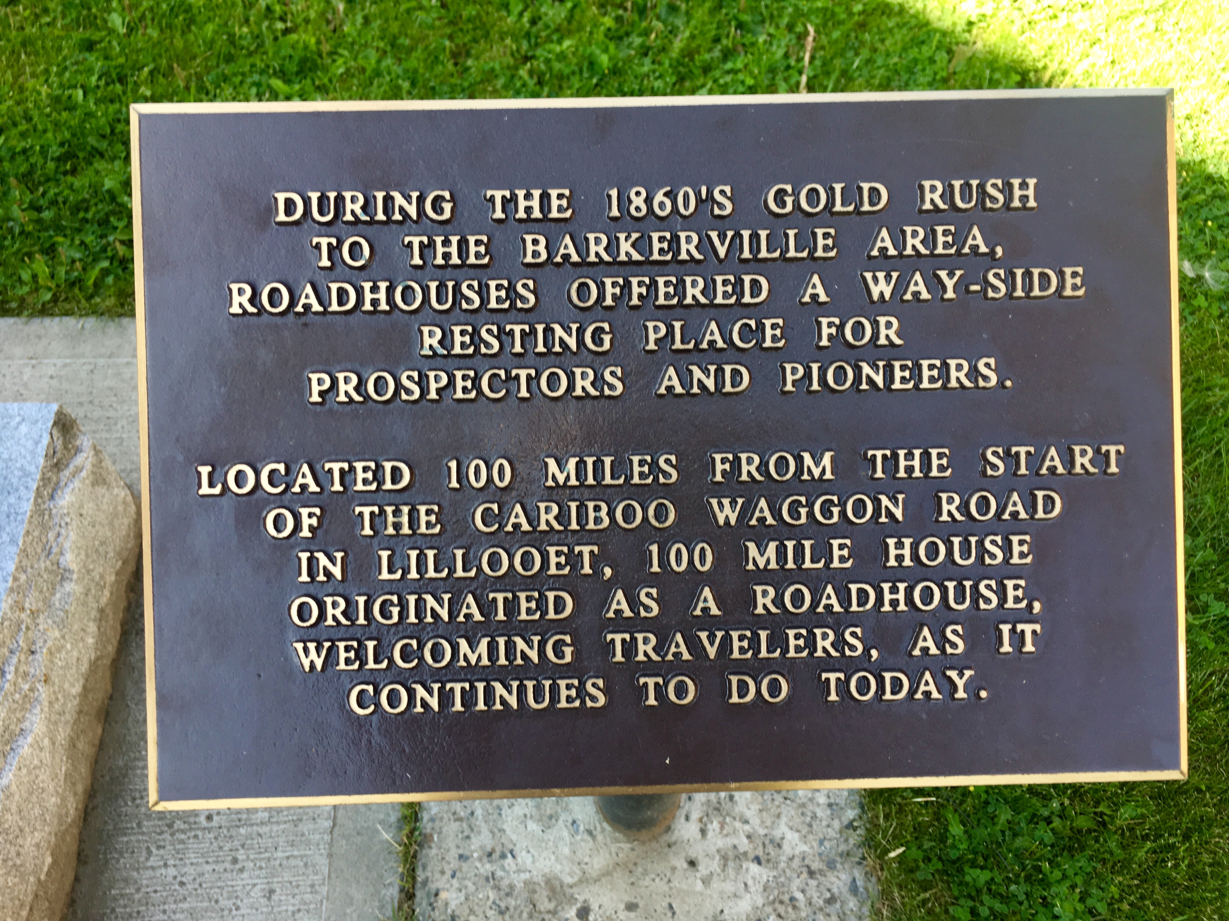
The naming of some of the places is interesting. Turns out that 100 mile House is the name of a town where, yep, a roadhouse was located 100 miles from where the river boats dropped people off and they started the overland trek. And – yes – there were several other places along that stretch with similar names with slightly different numbers at the front.
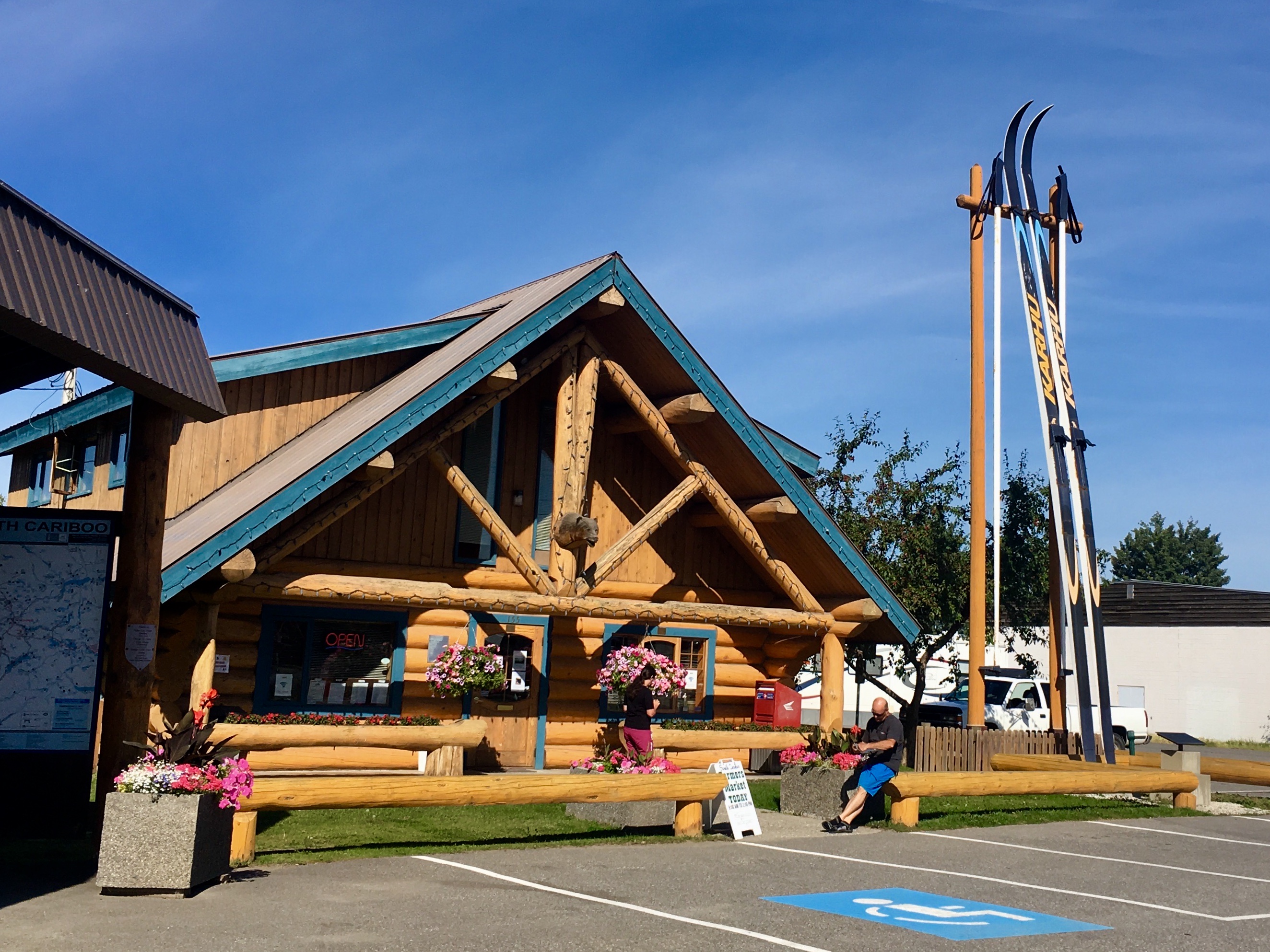
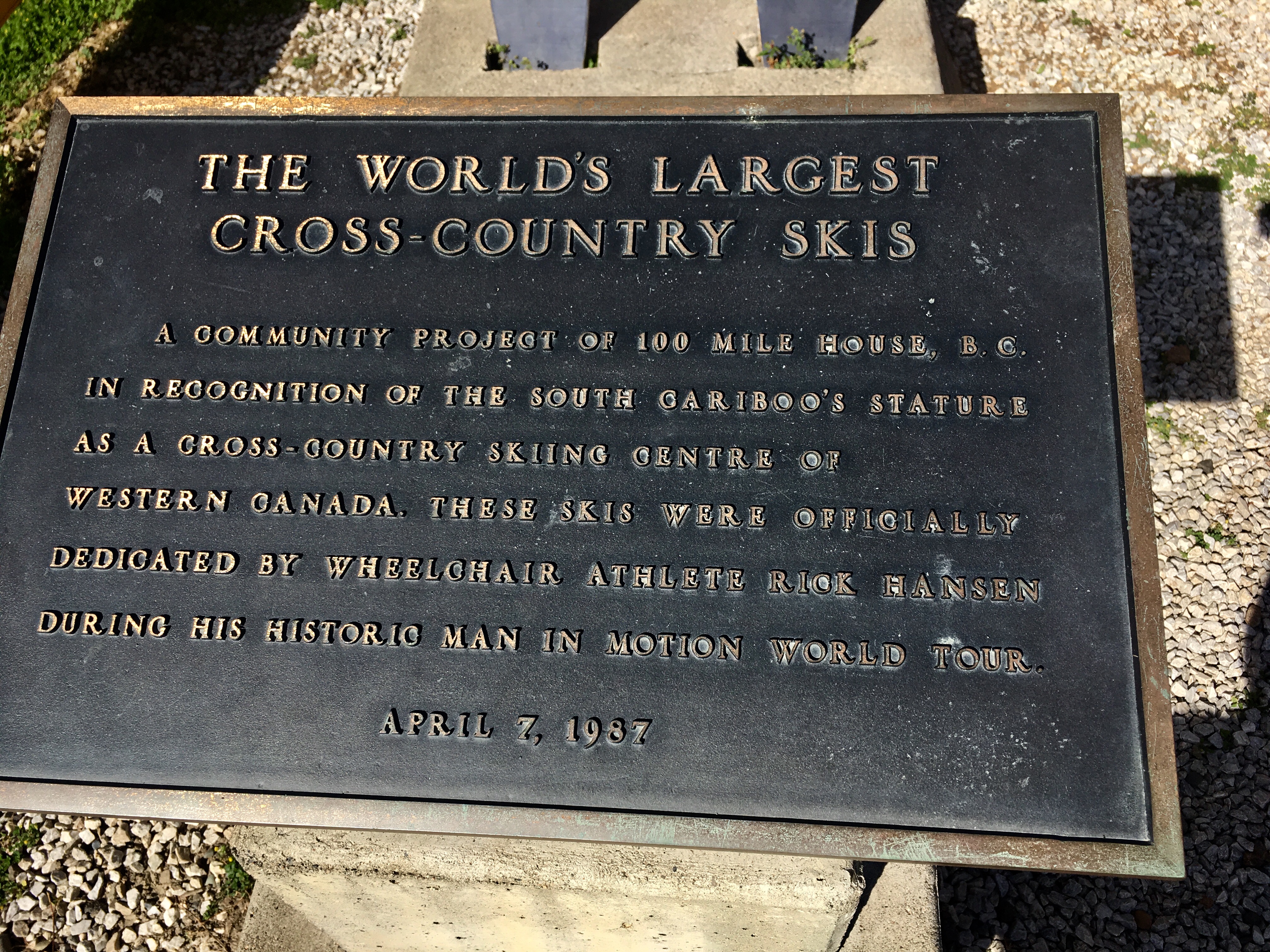
Every place wants to be famous for something. The worlds largest cross country skis is certainly a unique thing for which to be known.
All along this route, the research into the hardships of people during the gold rush kept coming coming back to us. Amazing stories of very hardy folks enduring incredible conditions.
But if not…
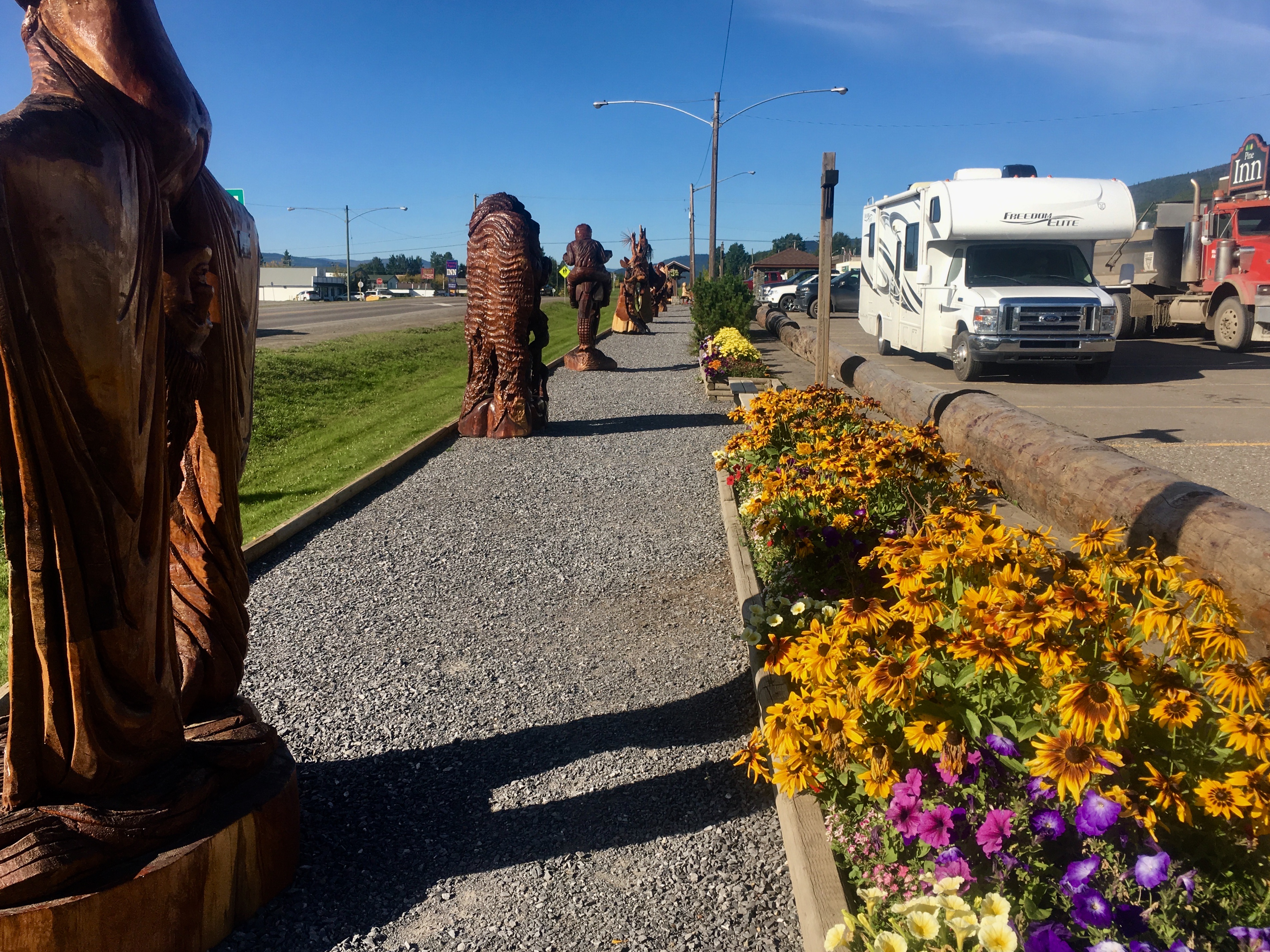
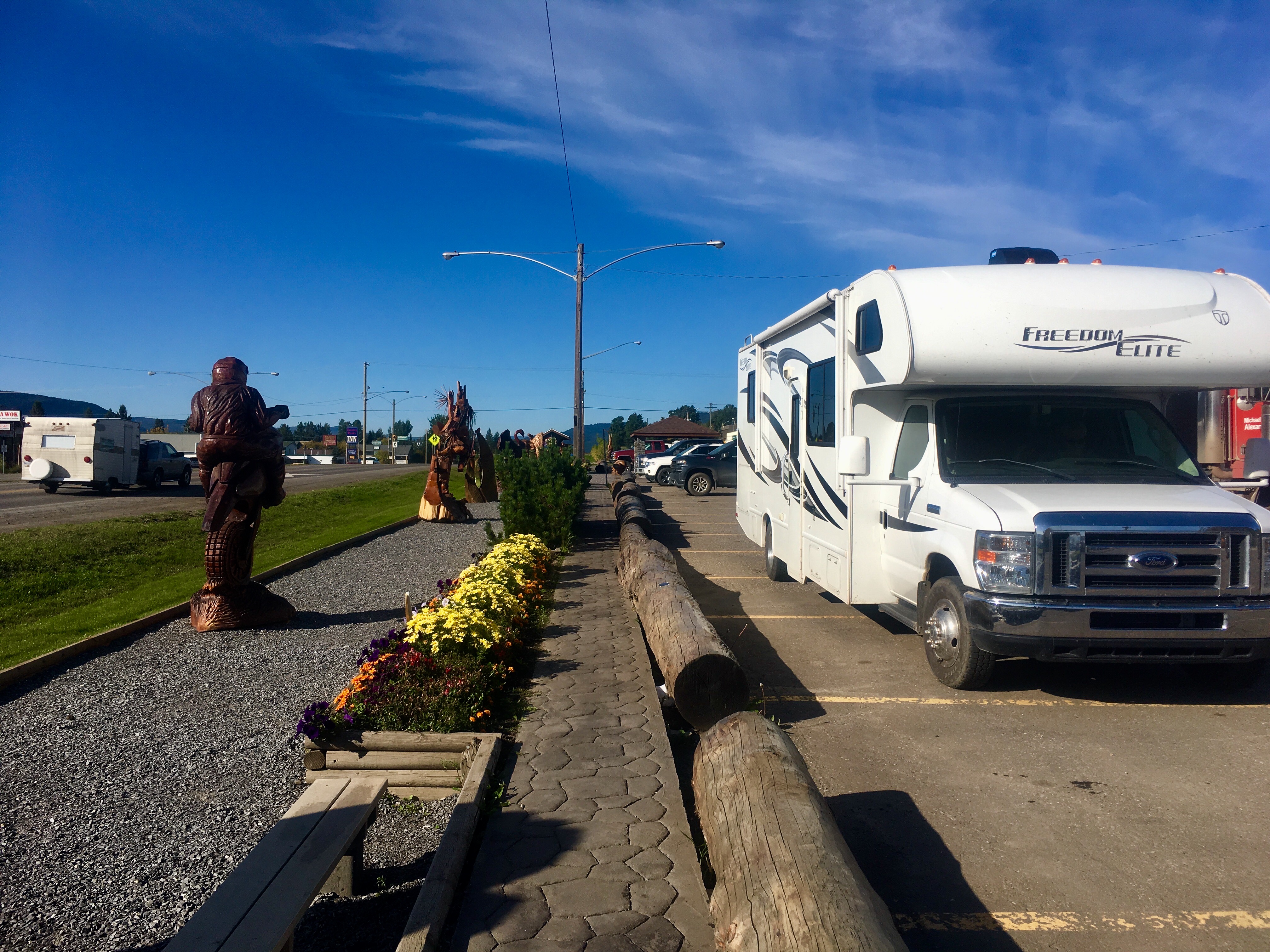
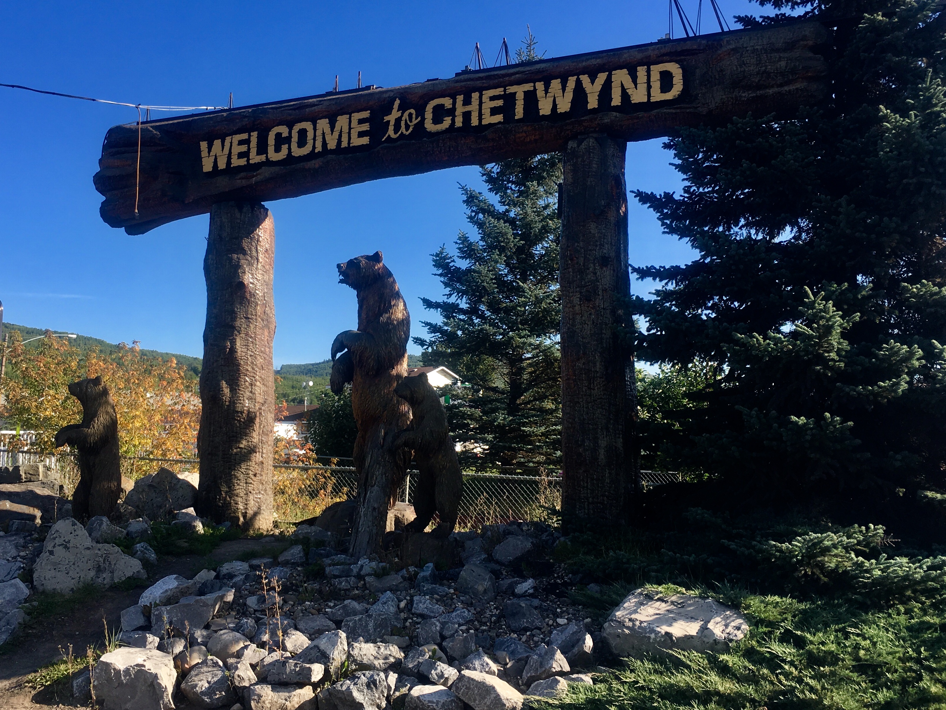
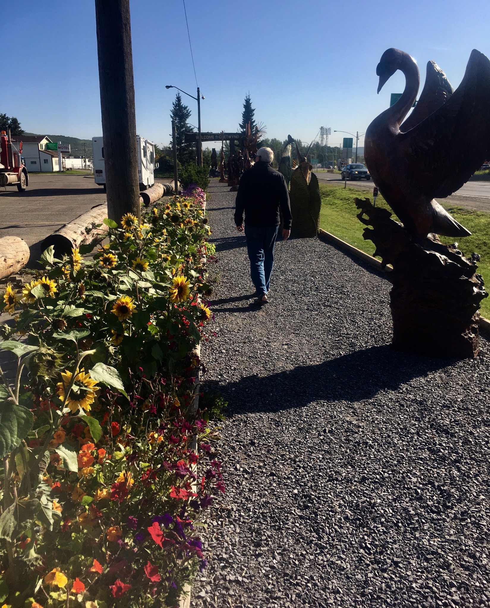
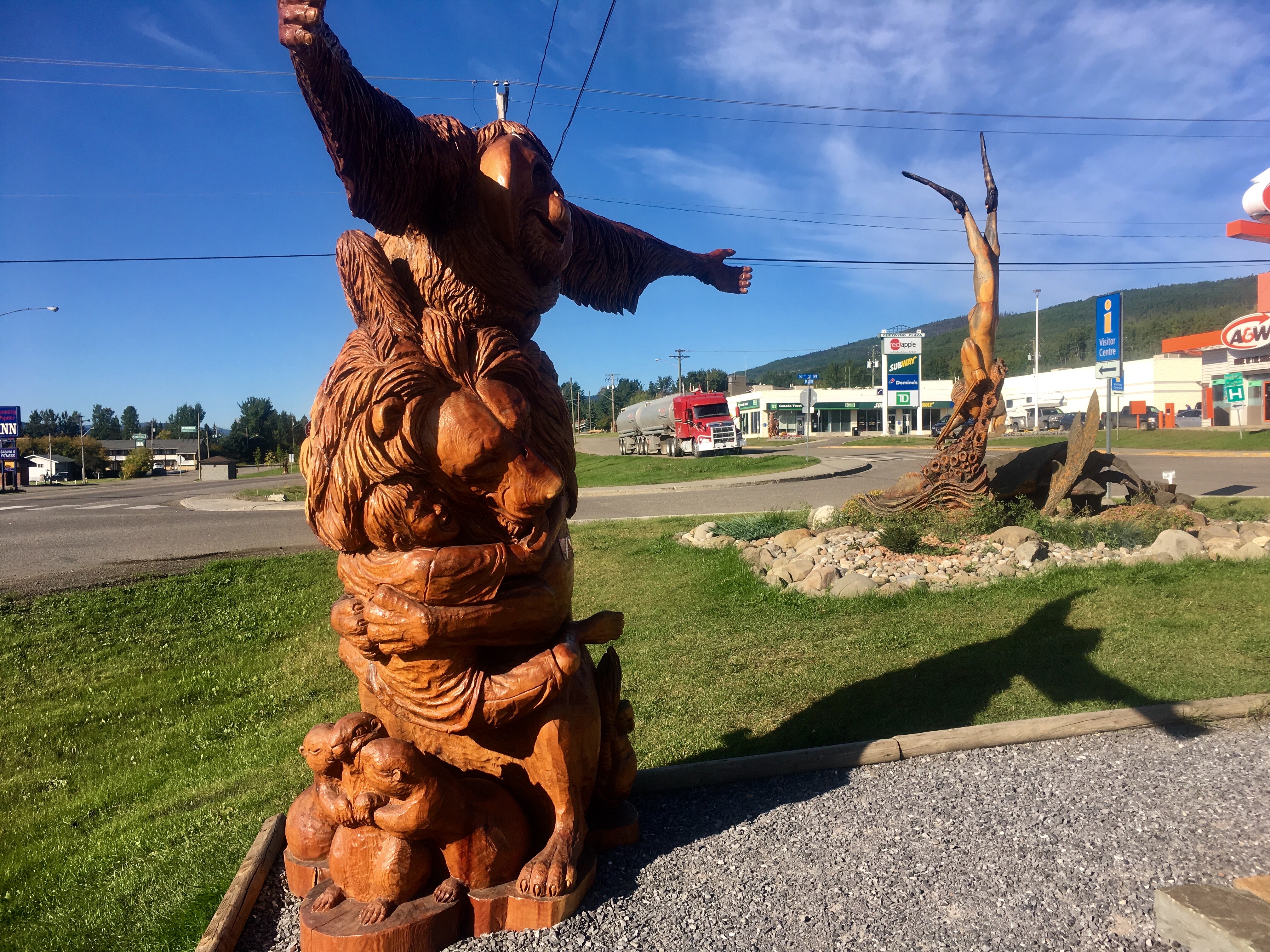
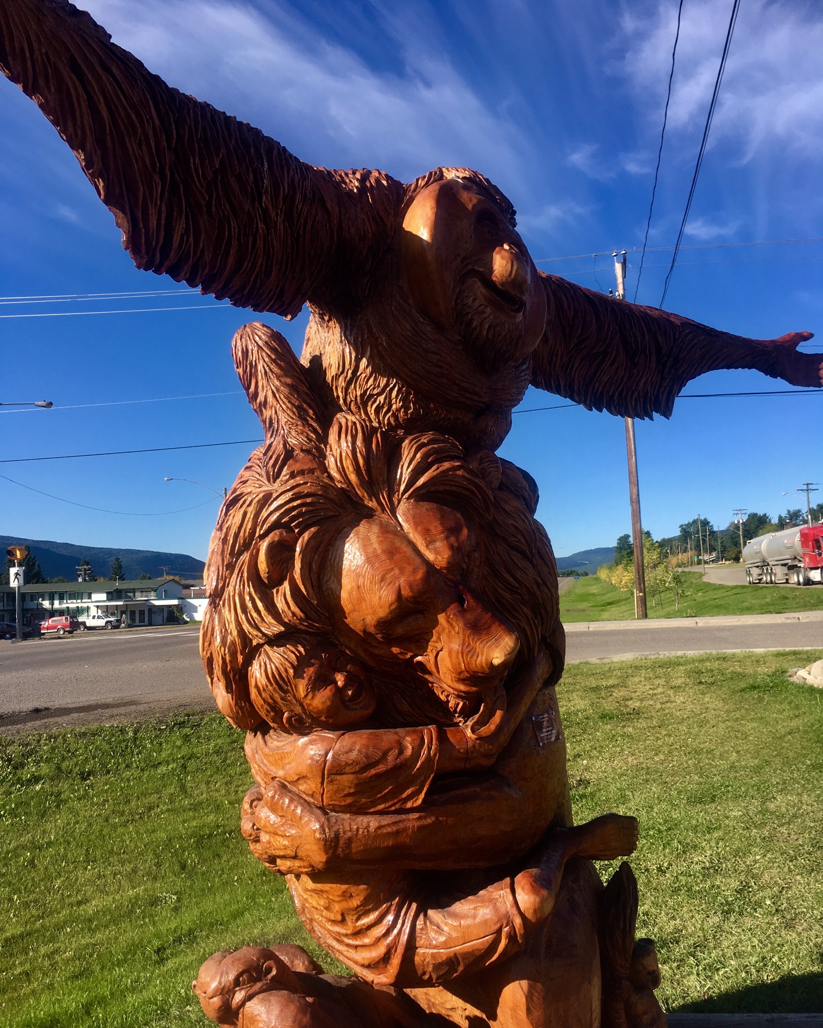
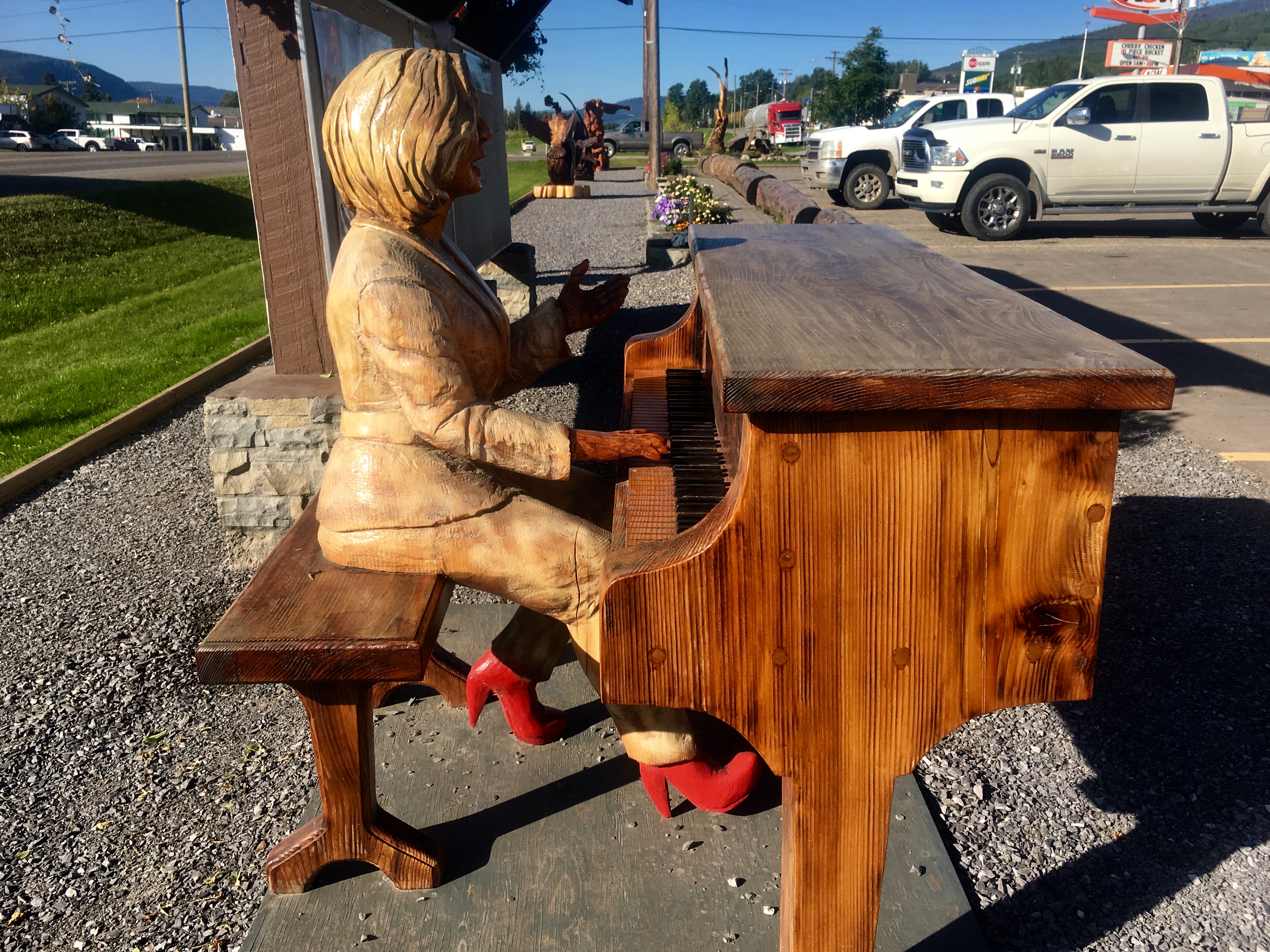
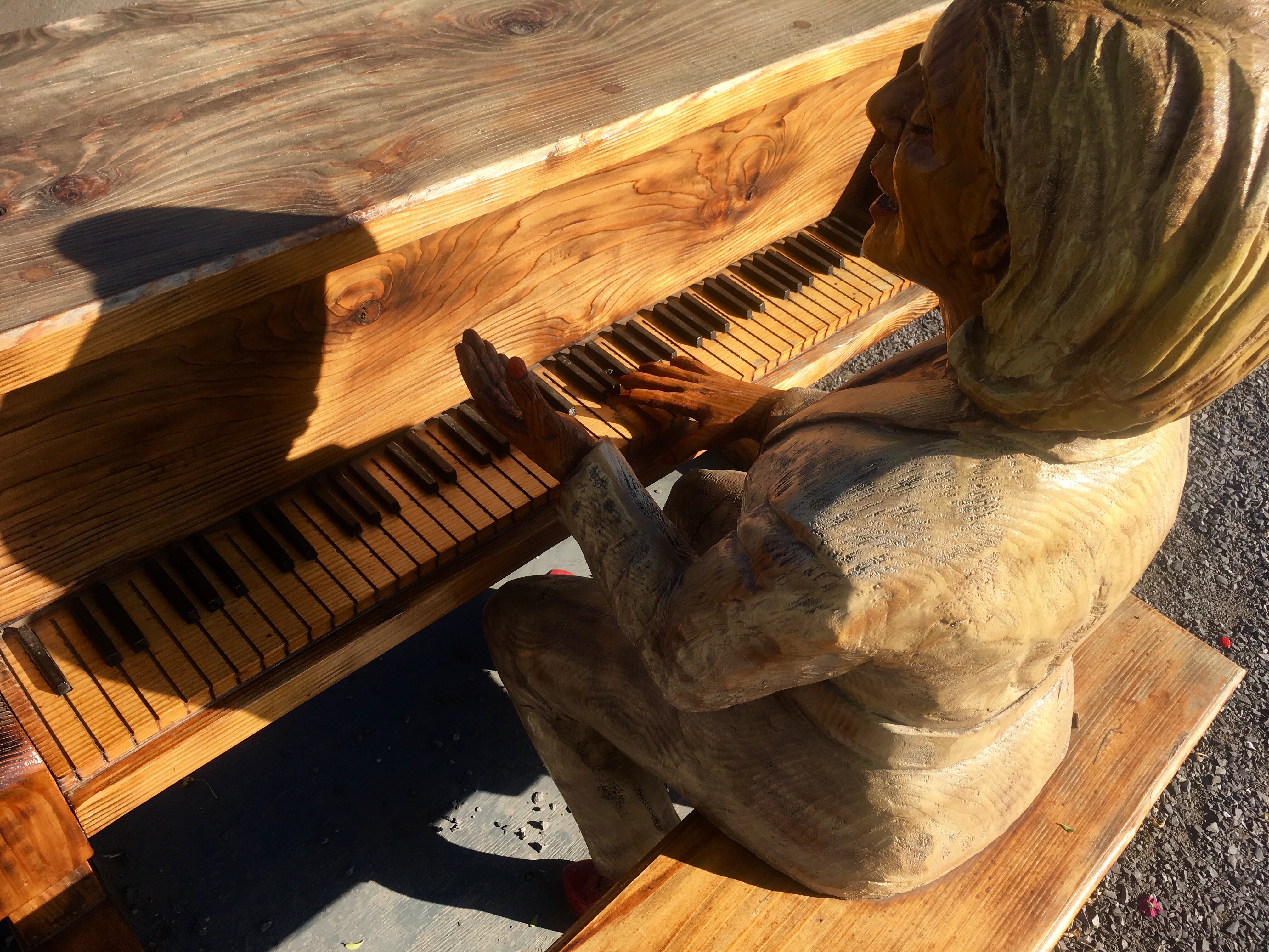
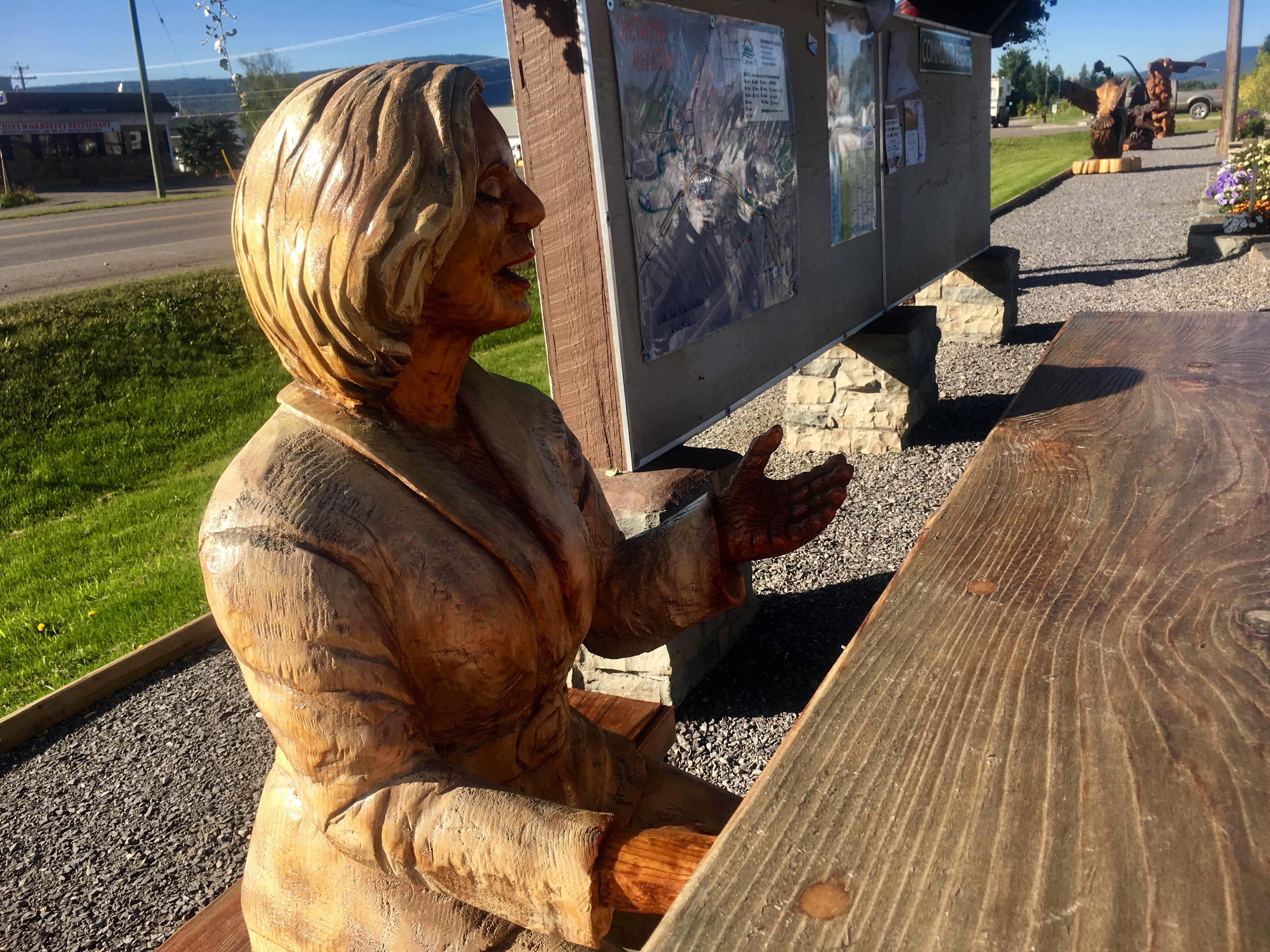
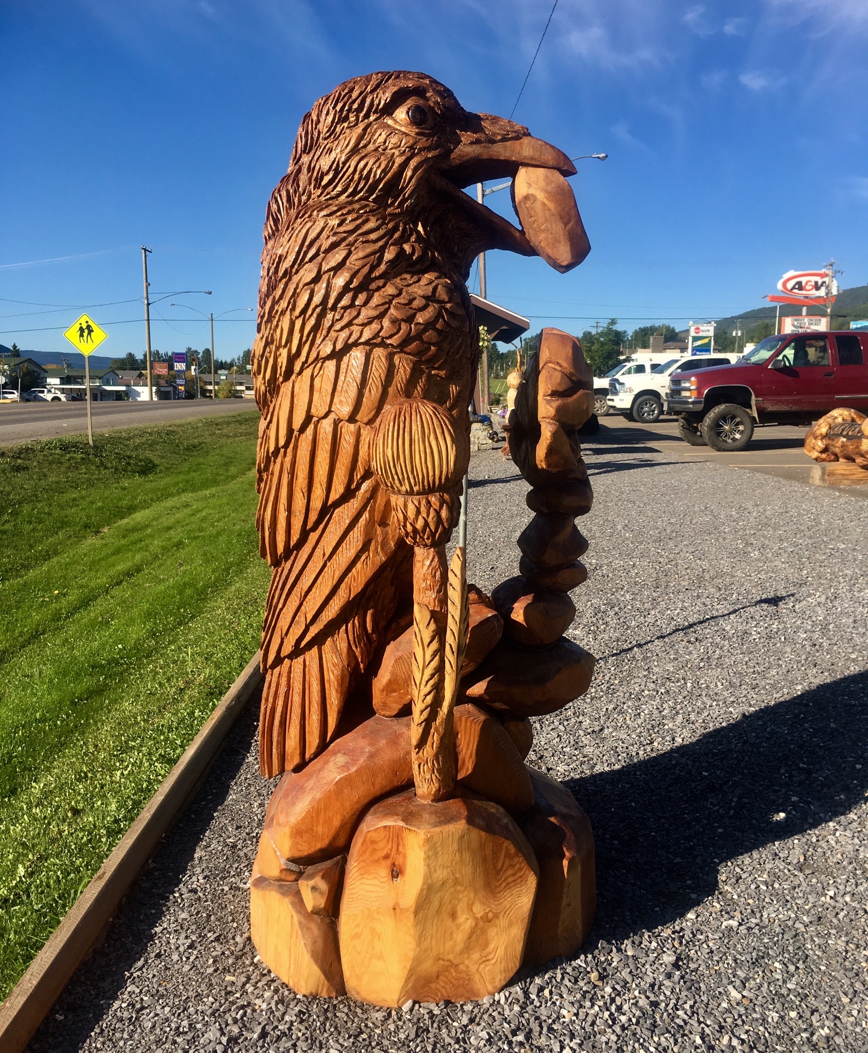
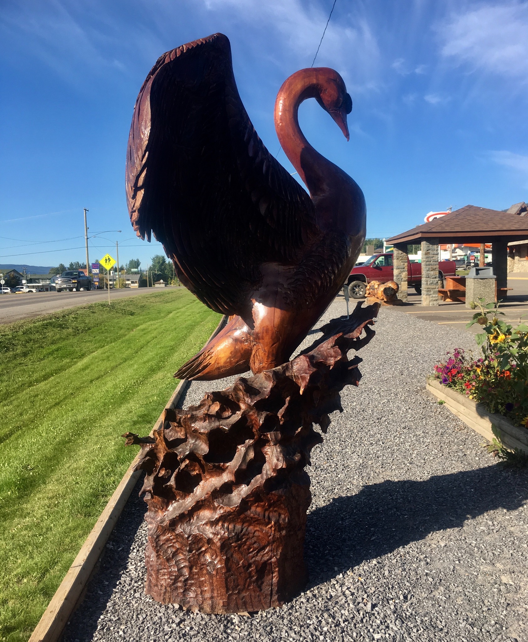
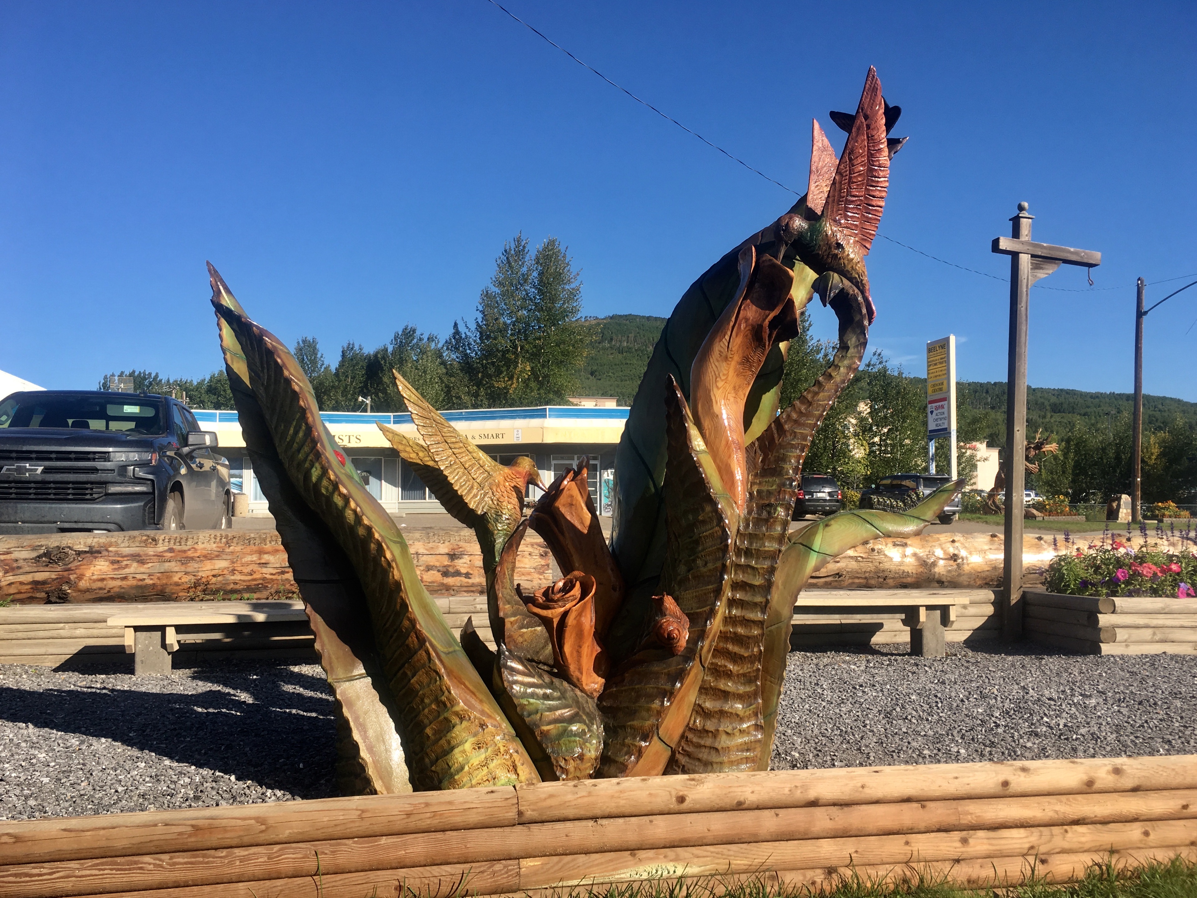
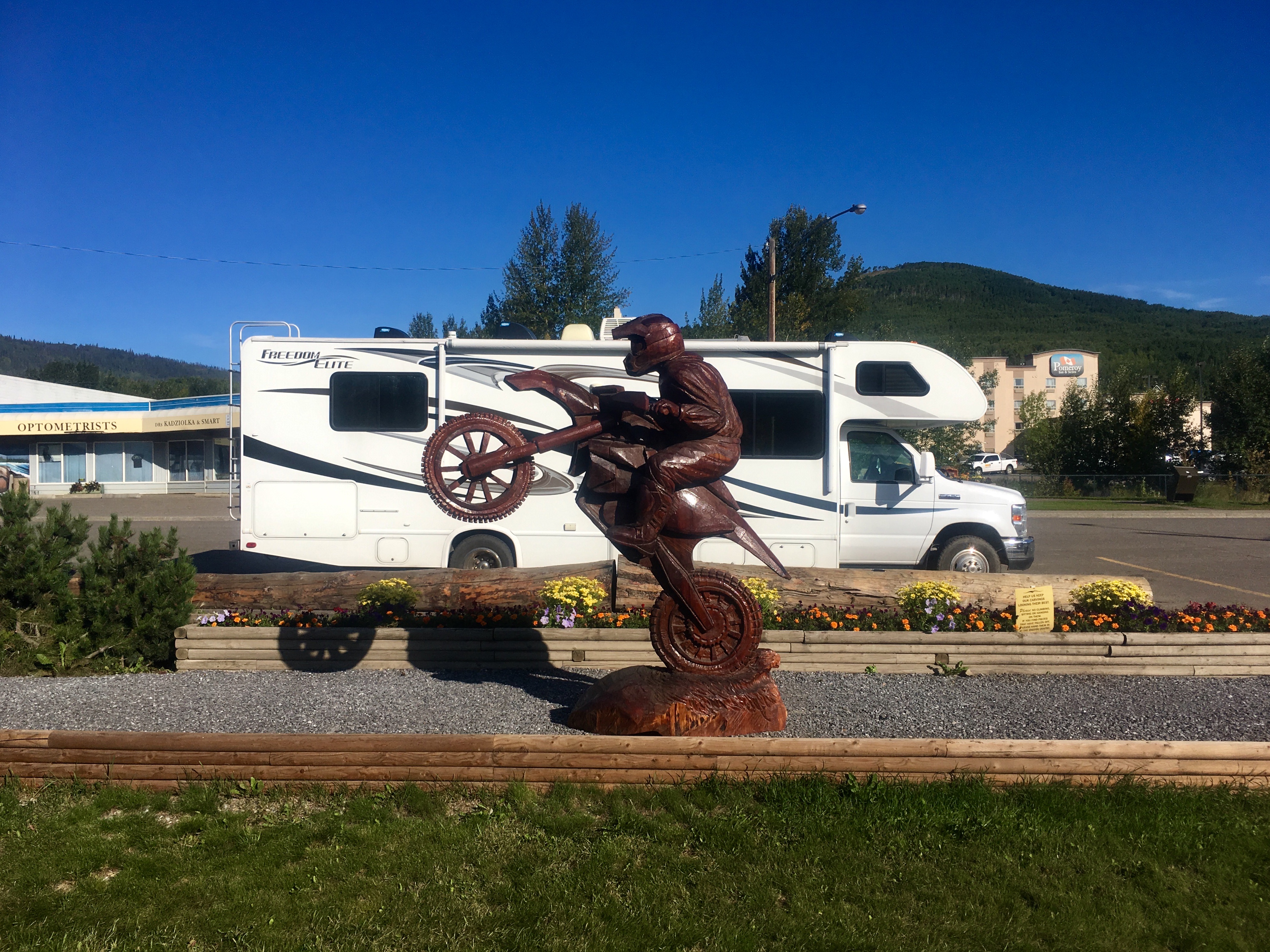
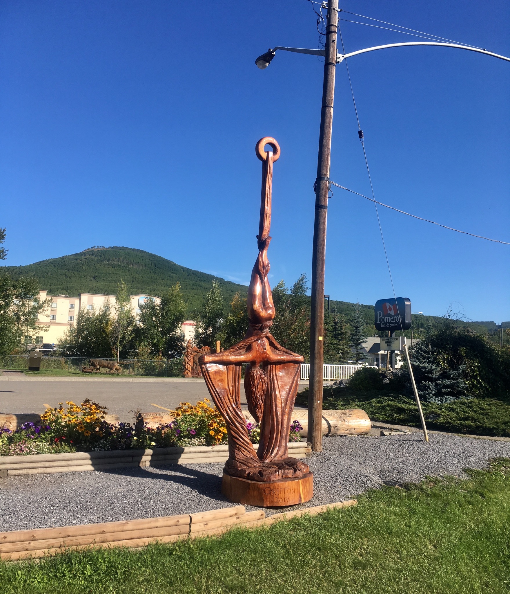
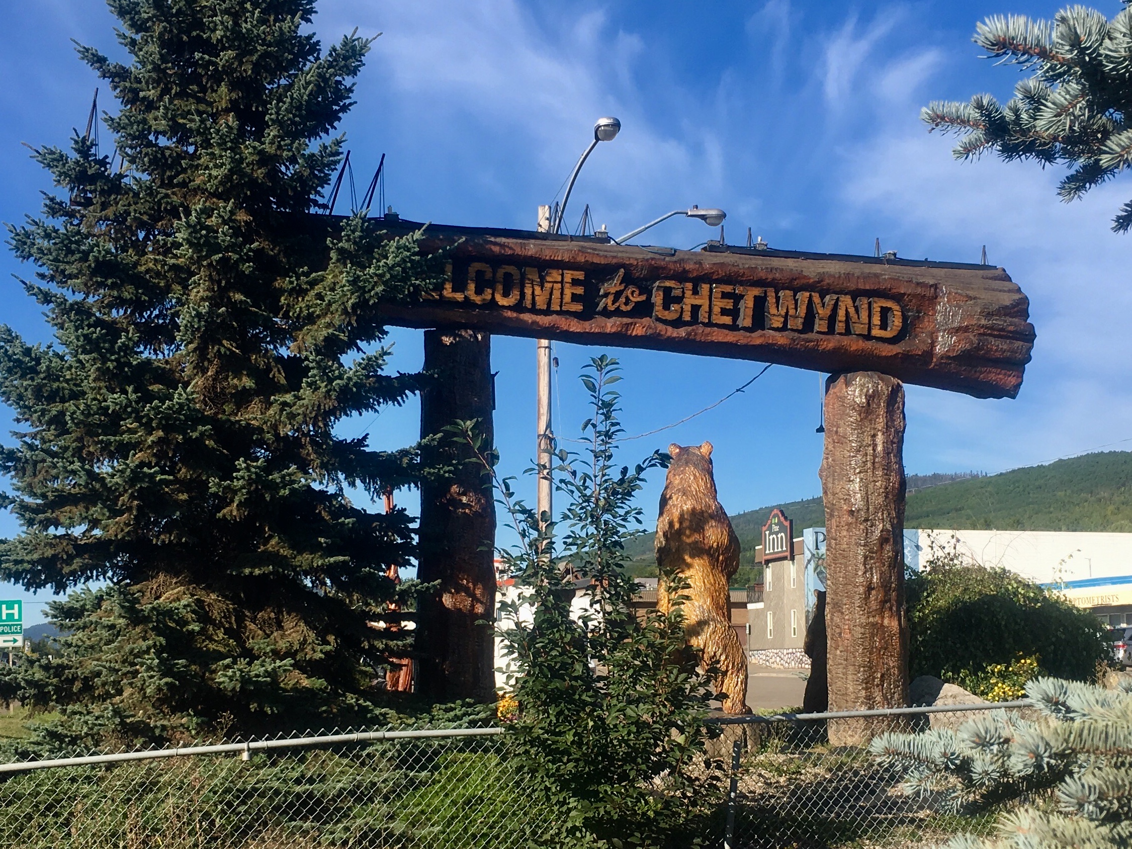
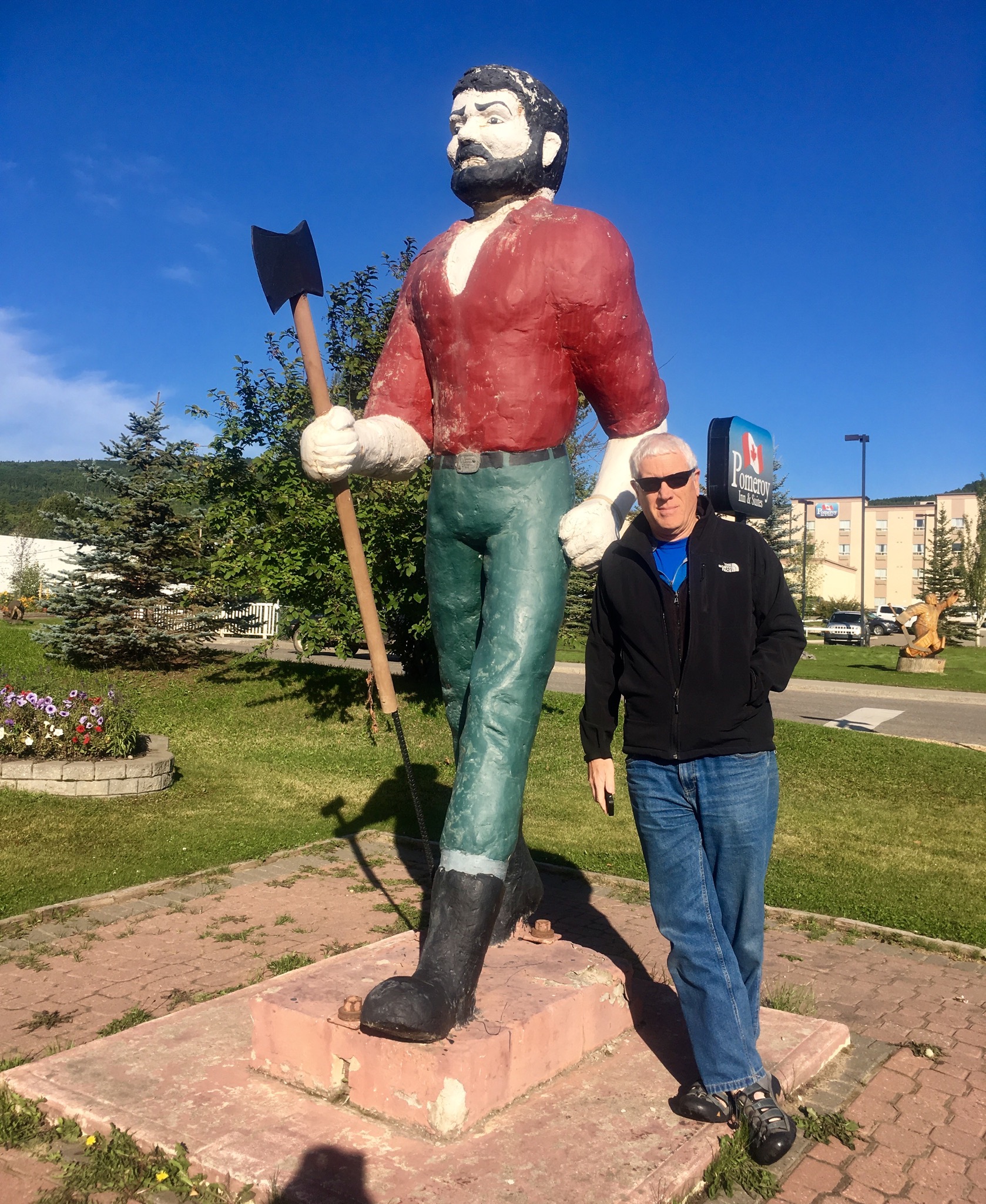
A lesson we learned from cruising that we carried over to the RV is to be as flexible as possible when traveling. Be open to what you find as you go and be prepared to be surprised. We hadn’t heard much about Chetwynd other than a brief recommendation to stop and see the chainsaw carvings. Then we drove into town and saw wooden sculptures everywhere. So we stopped. The extent of the carvings is incredible. Turns out that the town held a chainsaw carving contest in 1992 to mark the 5oth anniversary of the building of the Alaska Highway. Each year since then, they have held the contest and then the entries are put on display in various parts of the t0wn.

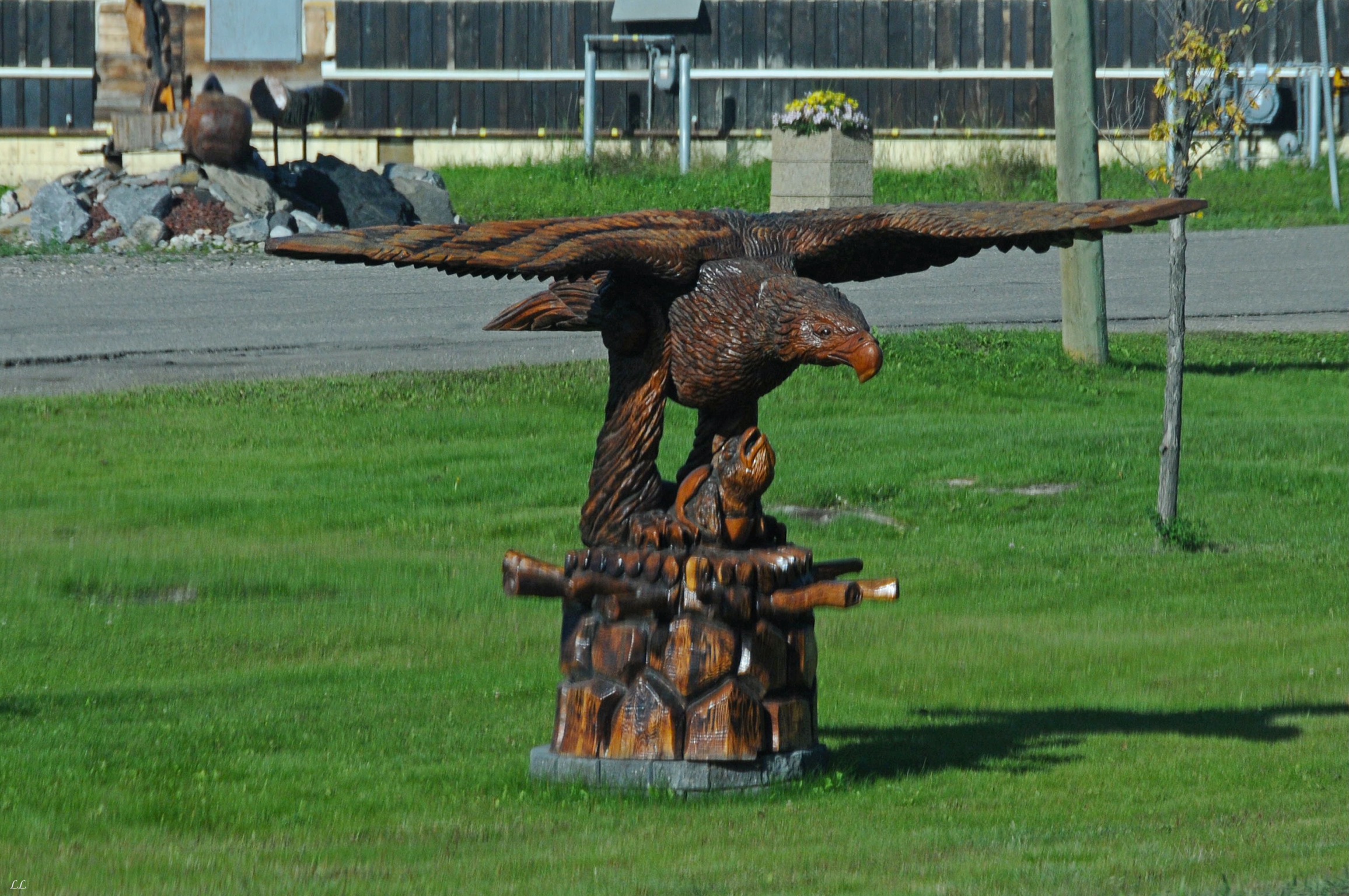
Some of the original sculptures kind of fit the expected themes of bears and eagles and other wildlife.
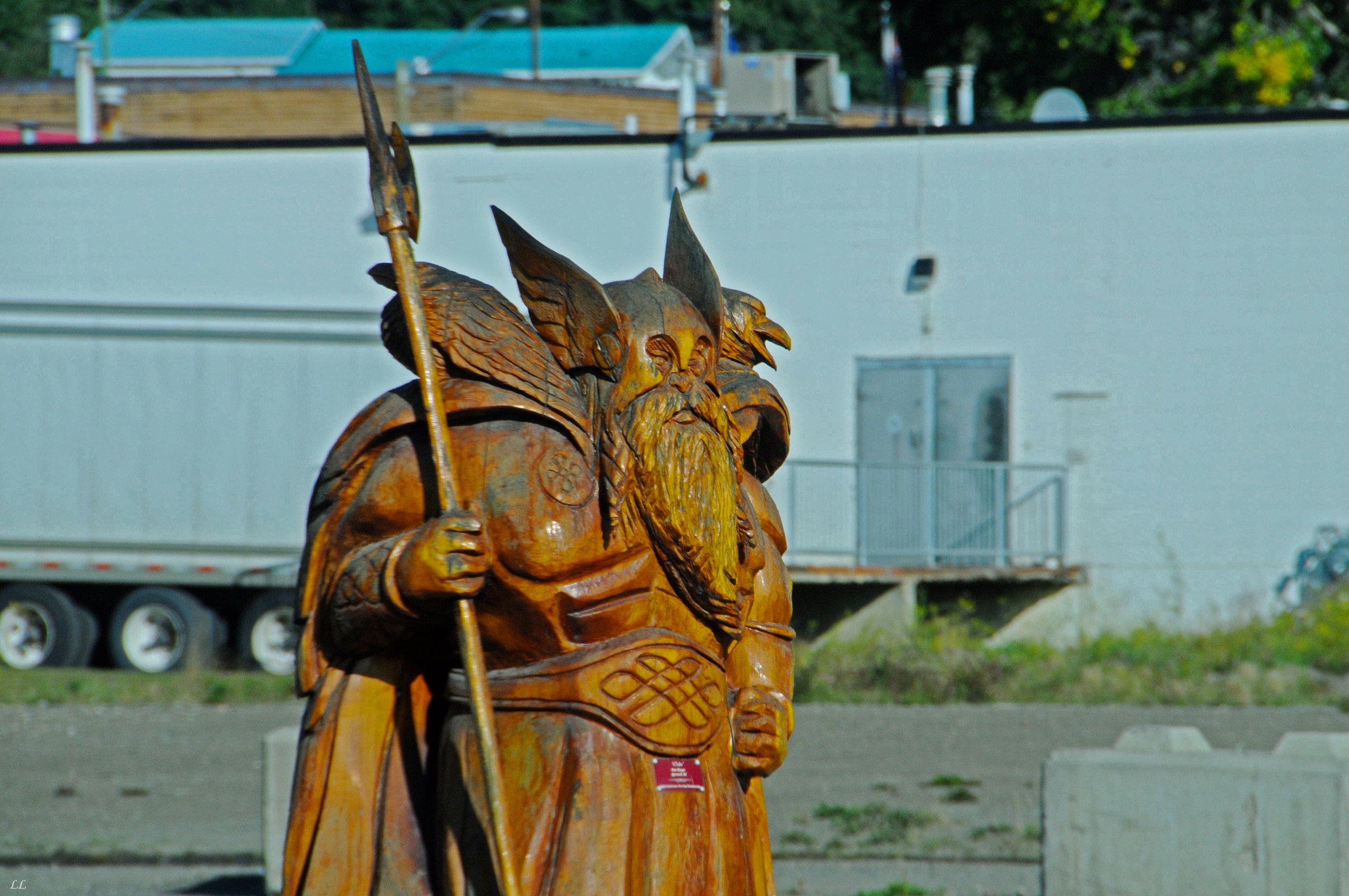
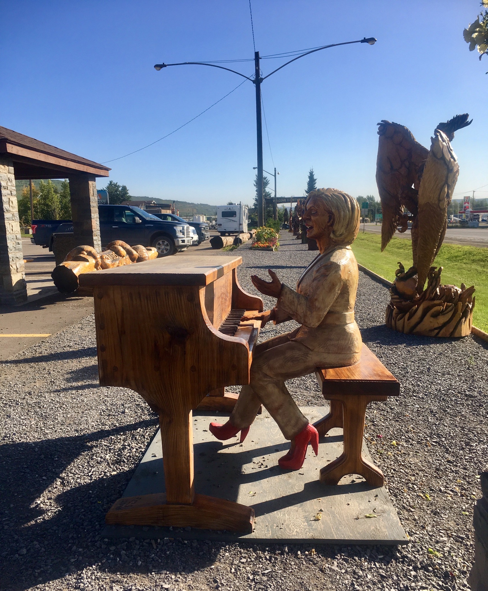
Some, however, are decidedly more unique.
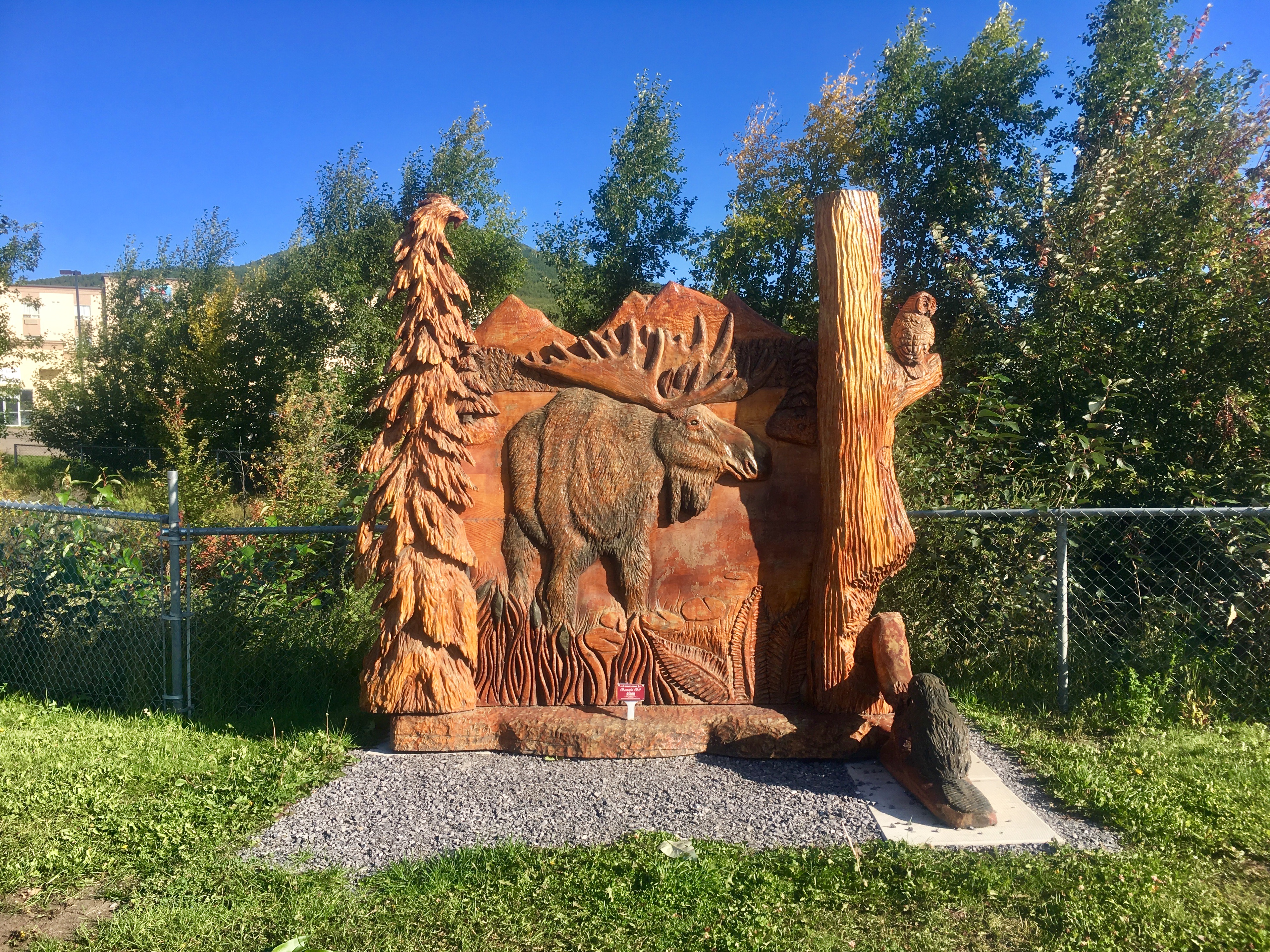

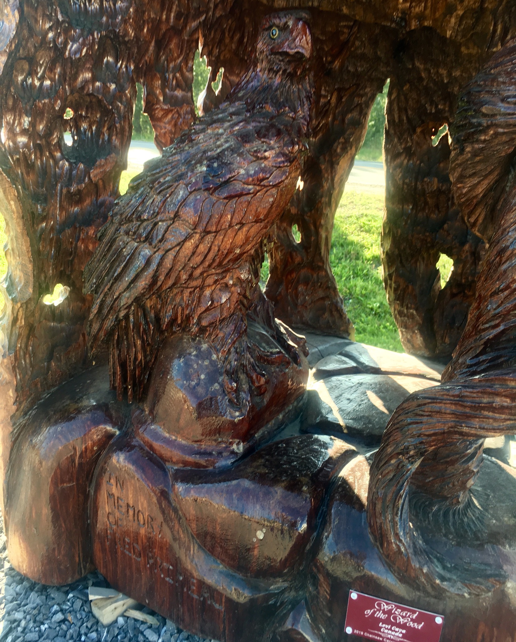
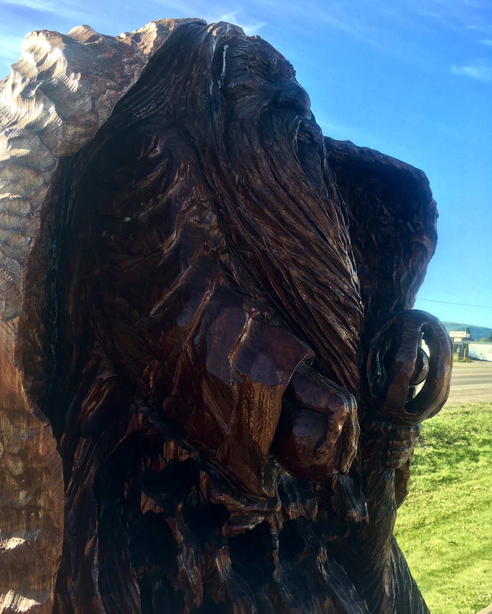
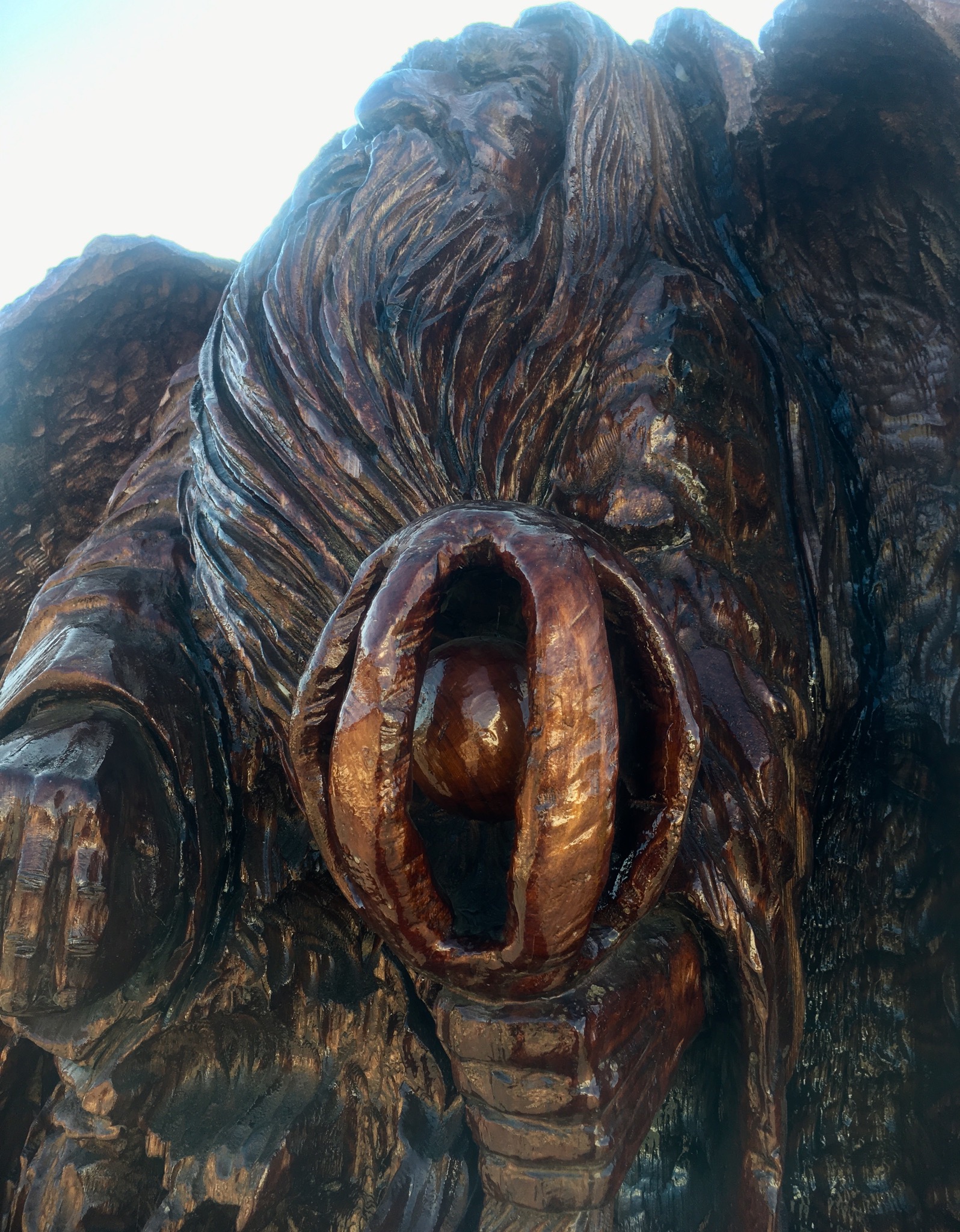
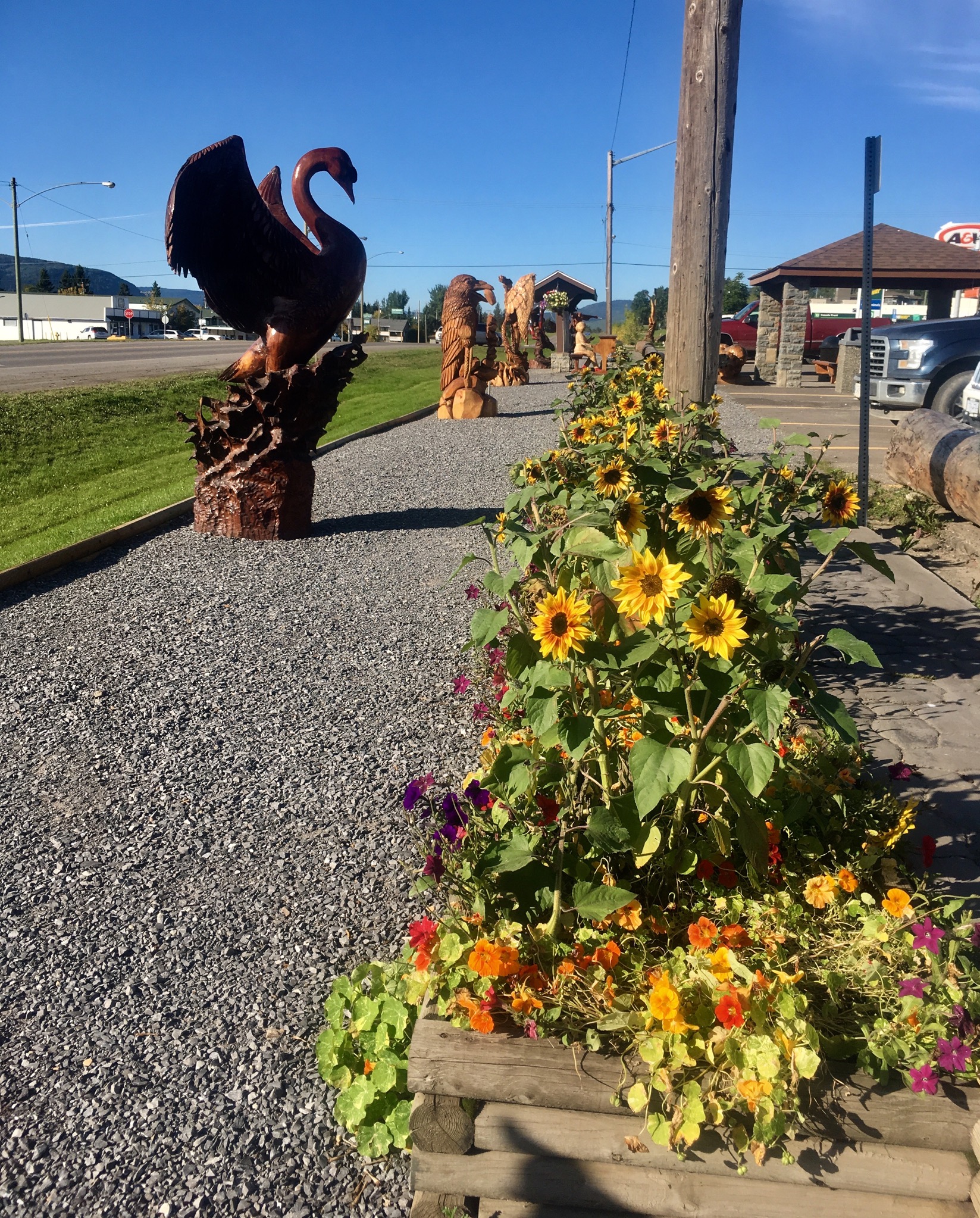
The level of detail and intricacy in the carvings make it easy to forget that these were all done by chainsaw!!
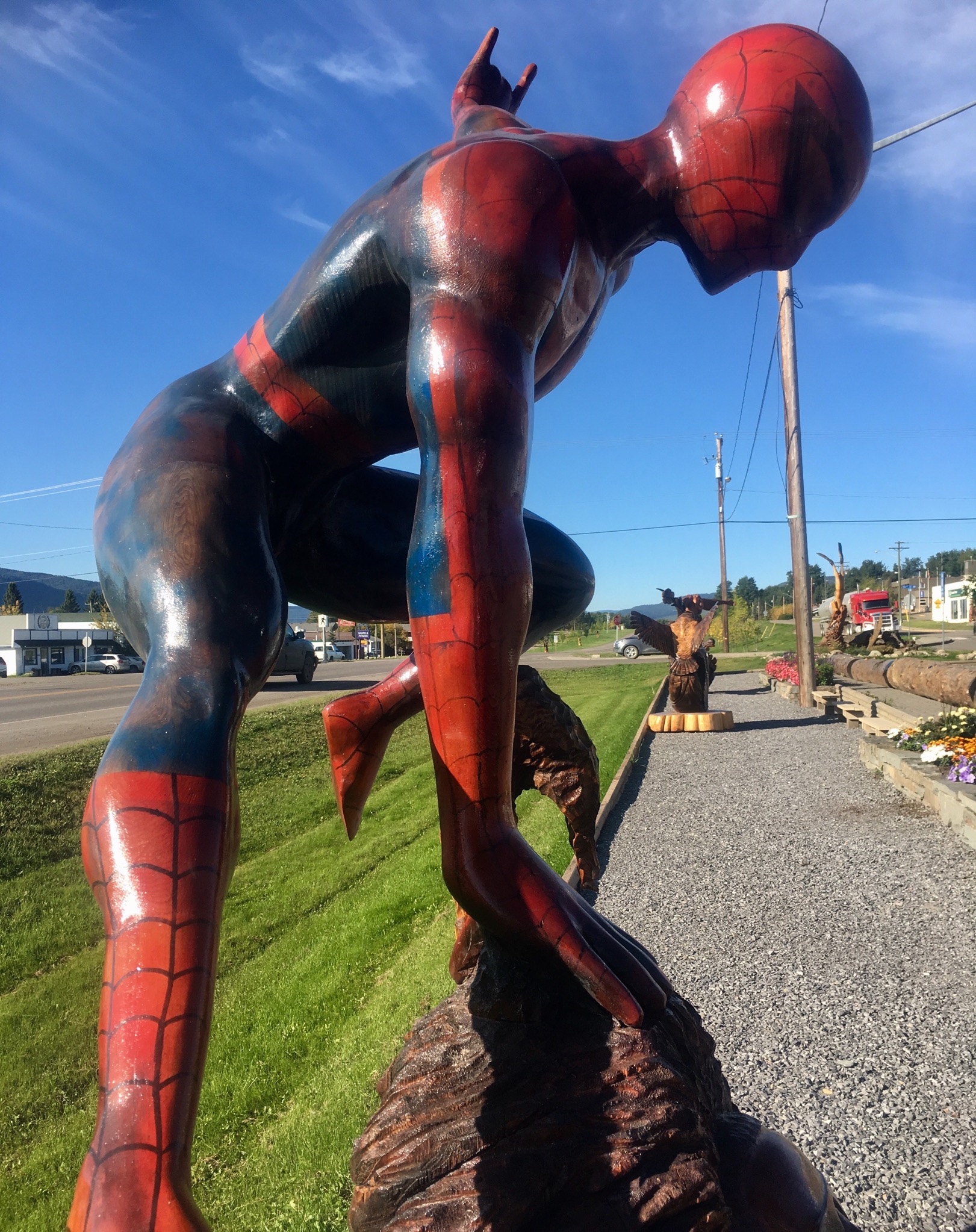
Even modern superheroes get into the act.
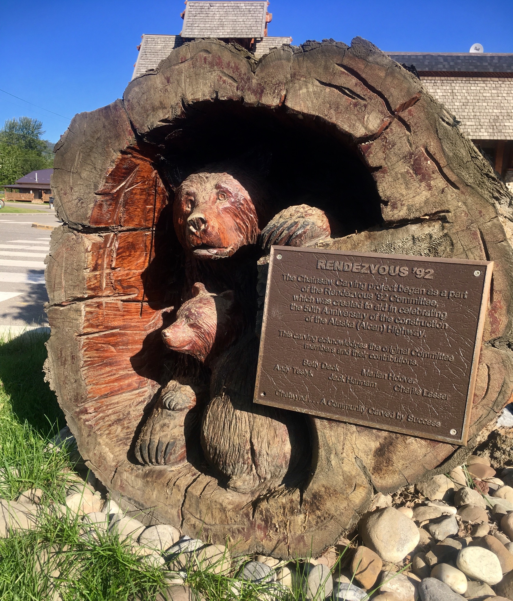
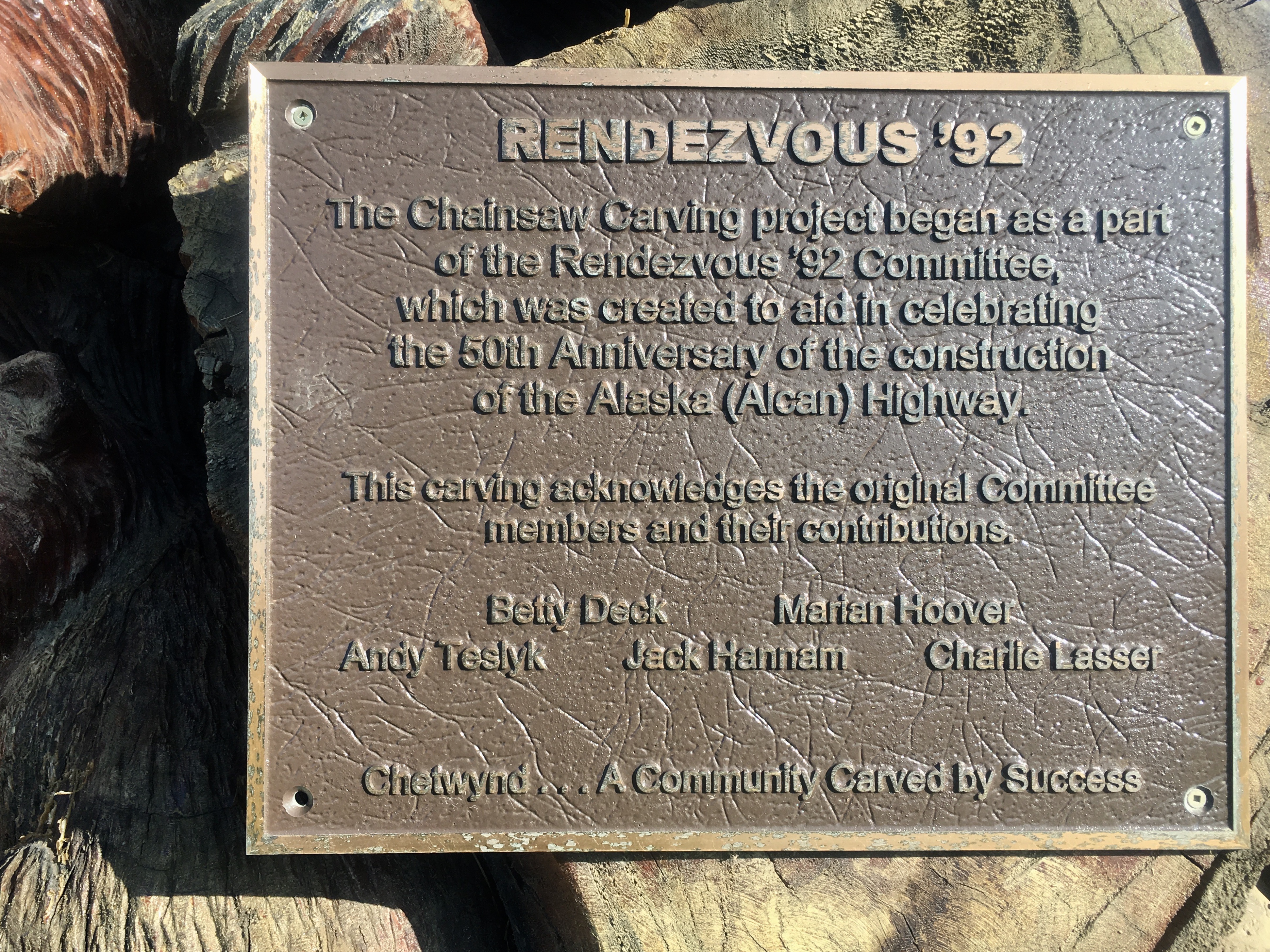
The sign describing the origins of the carvings.
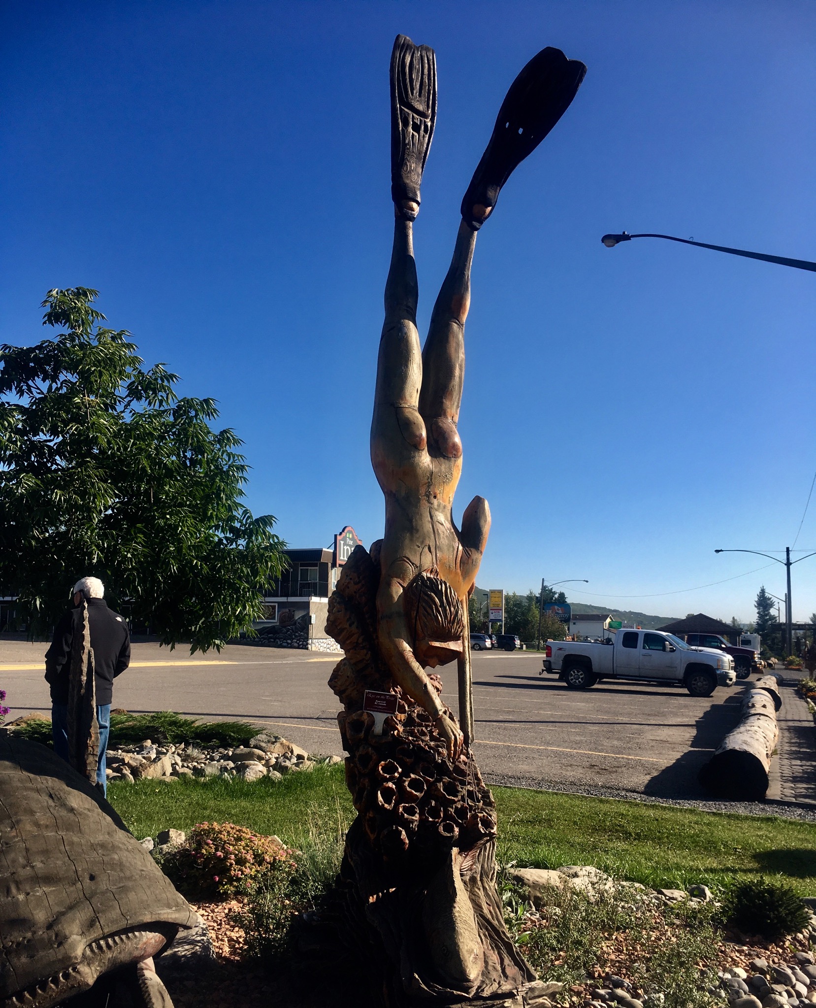
Spearfishing in the middle of British Columbia?
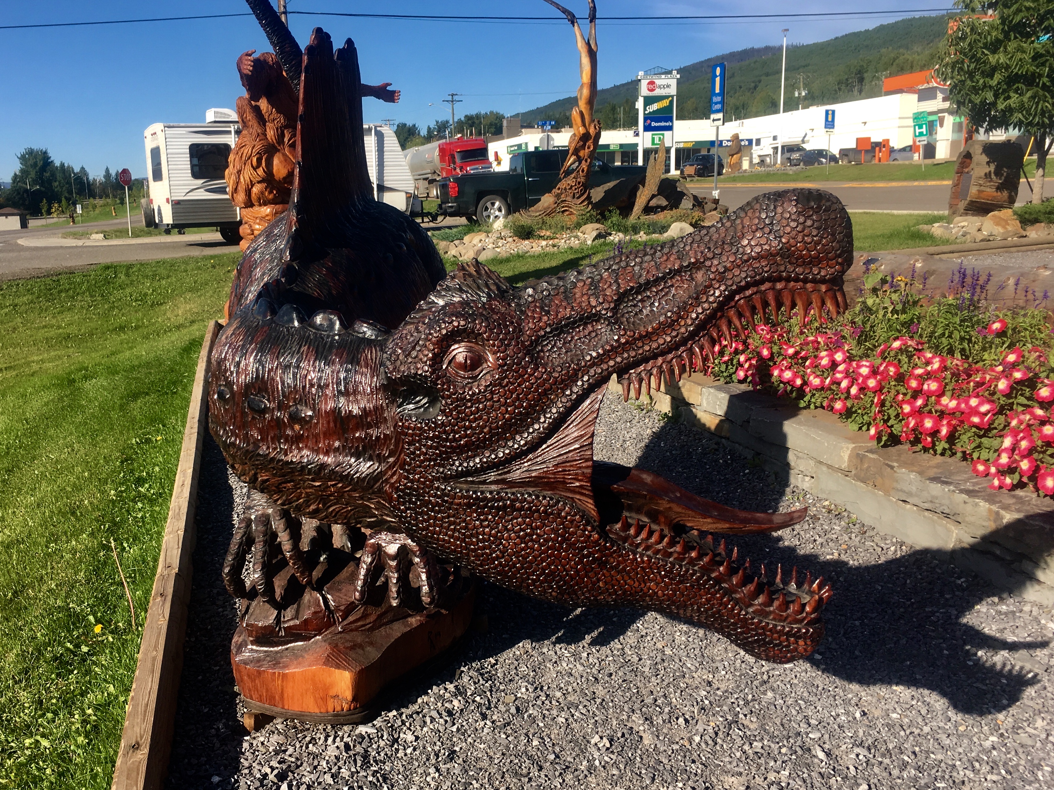
Fertile imagination or just weird?
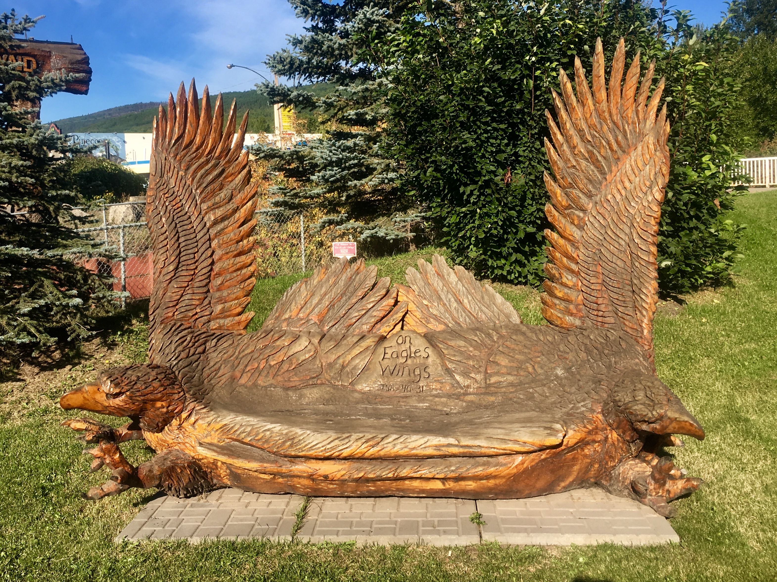
Even the benches are part of the exhibit.
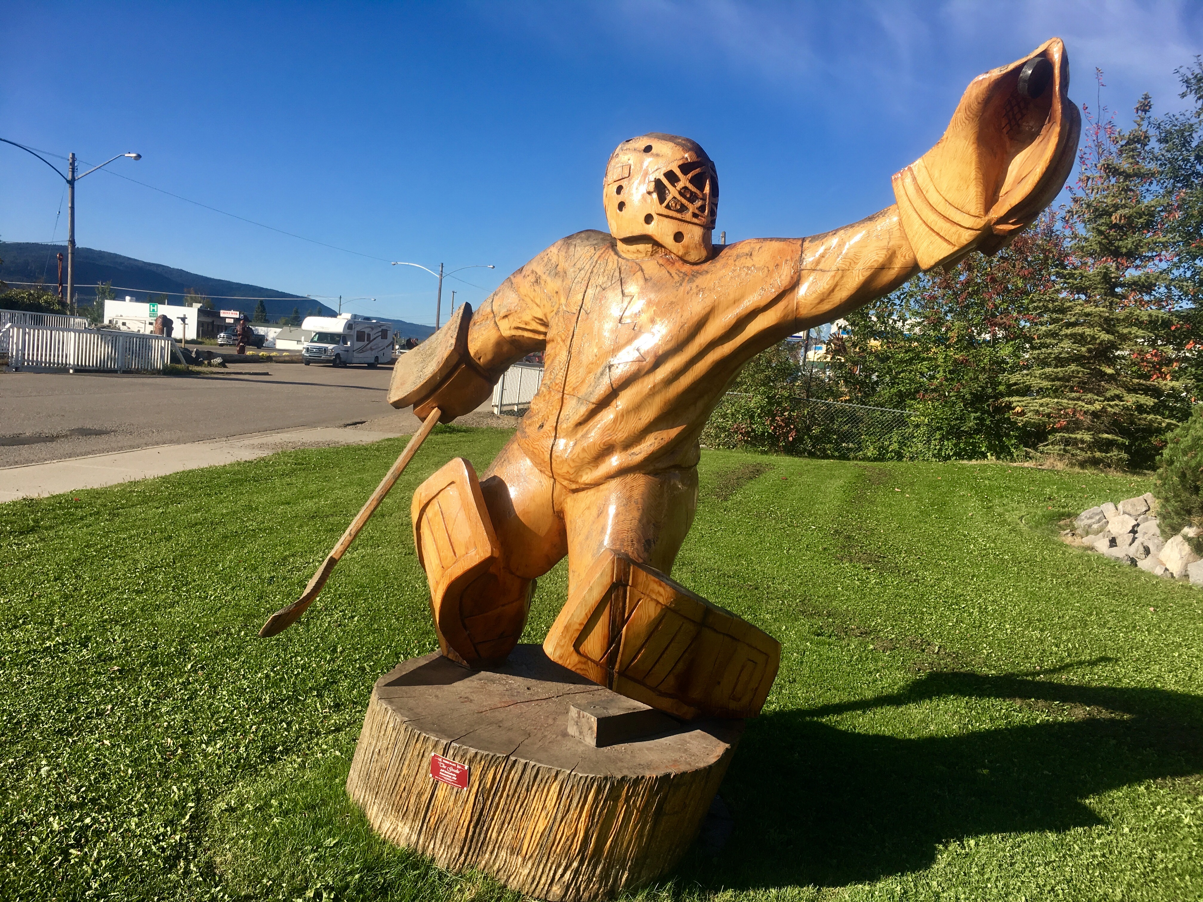
Hockey – not unexpected.
But if not…
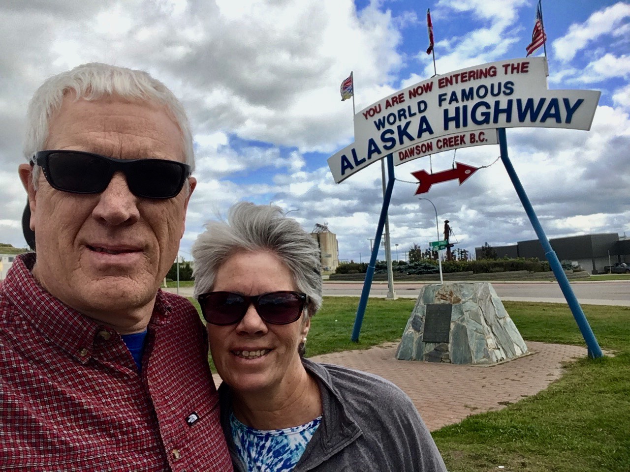
We made it! To the end of the road – actually the beginning of the road since we traveled it backwards from the terminus at Delta Junction.
We’ve talked about visiting Alaska and traveling the Alaska highway literally for decades. Finally getting the chance to do it was an amazing journey. One that we hope to do again!
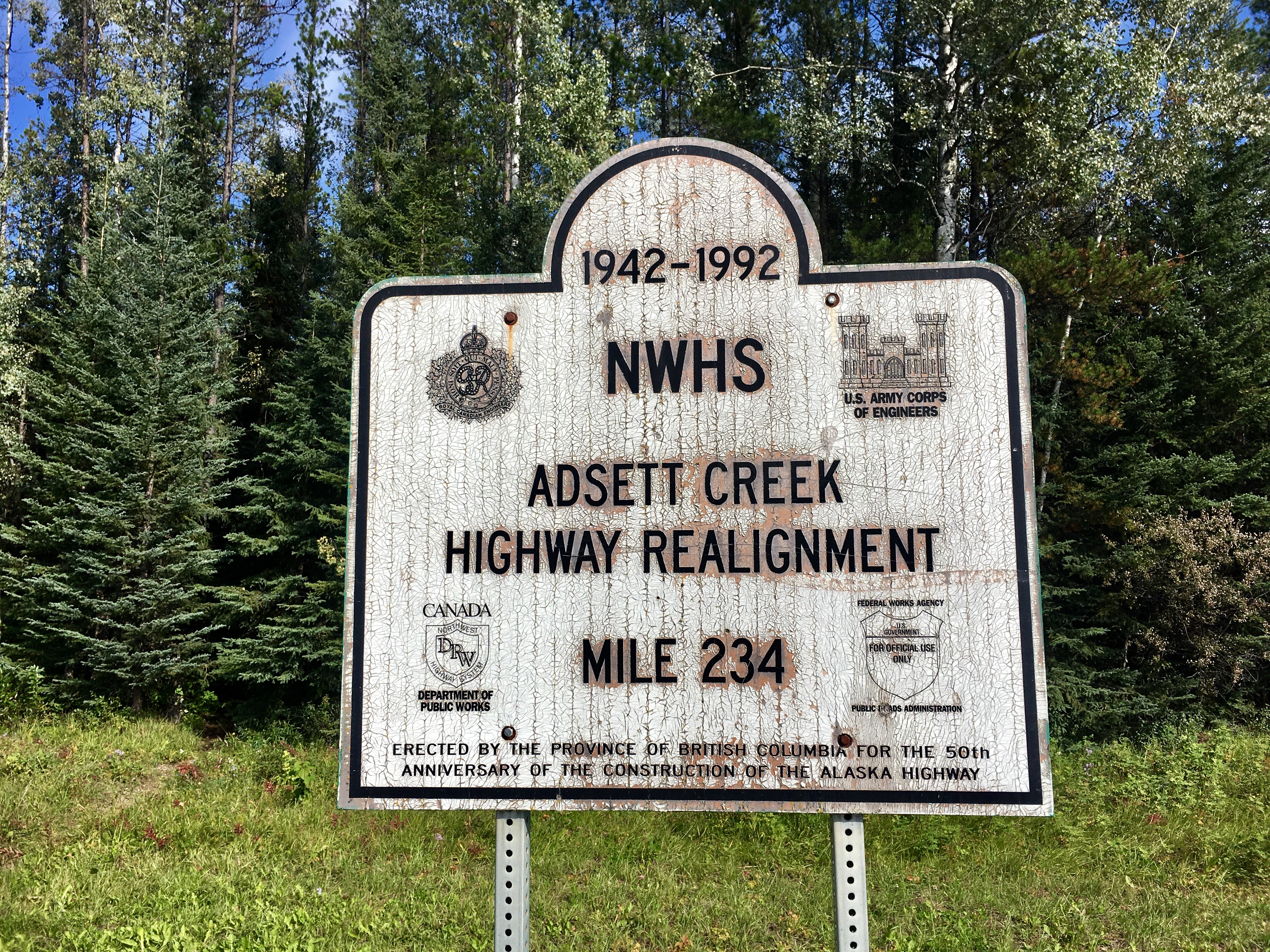
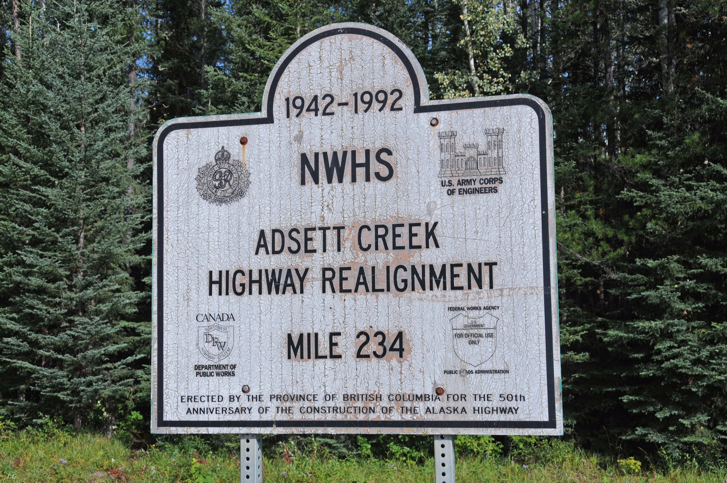
Another of the highway realignment sections.
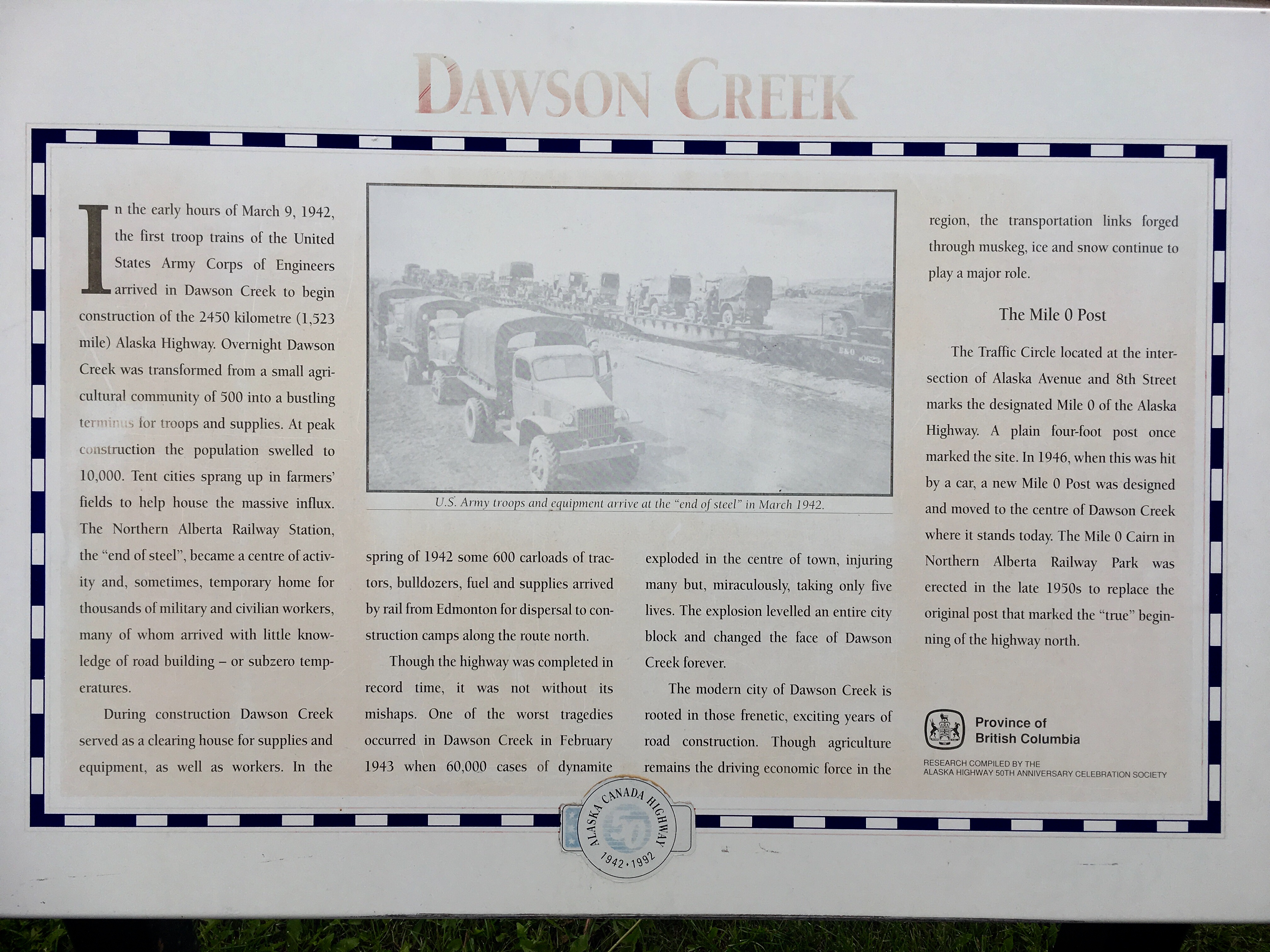
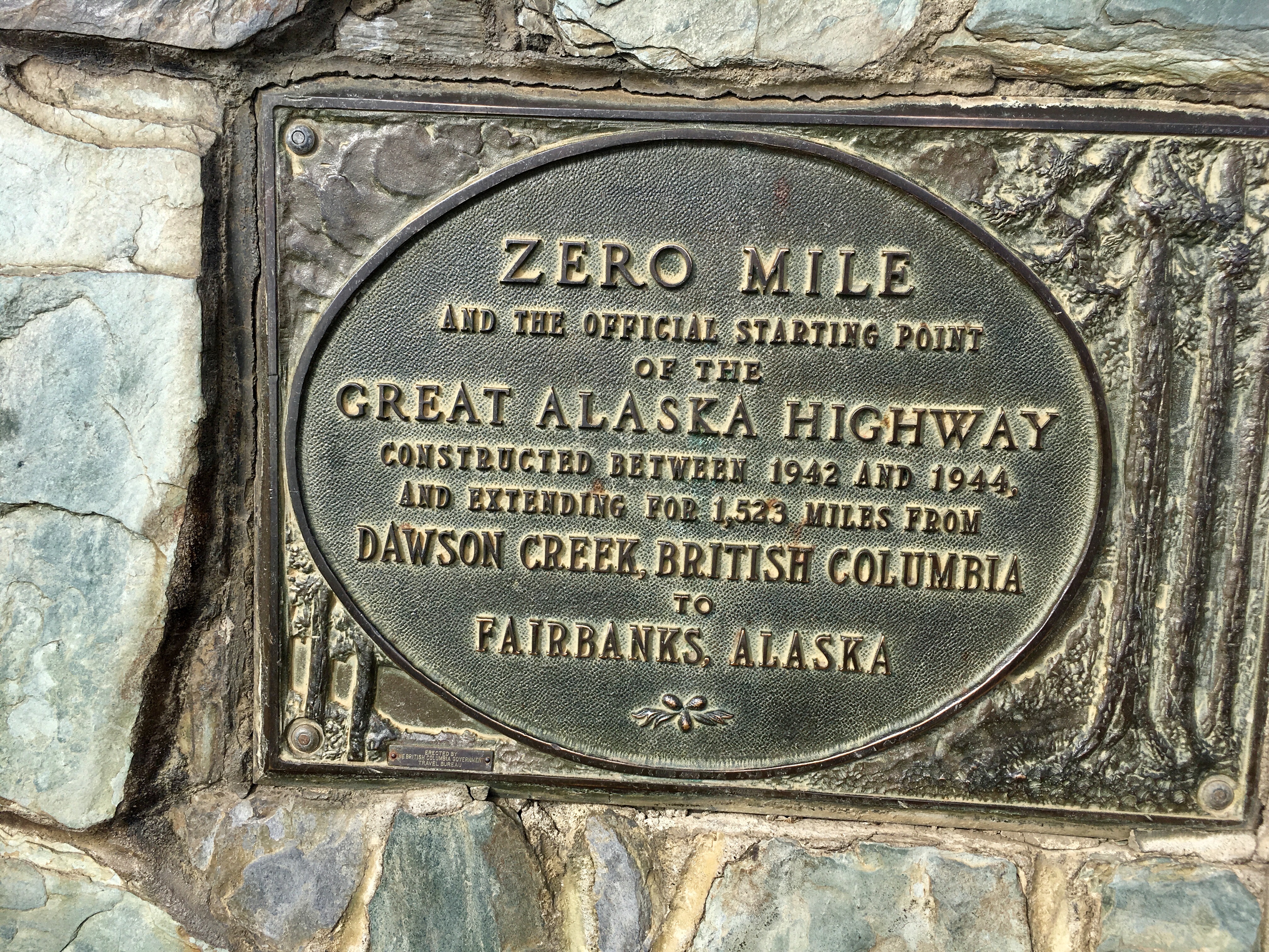
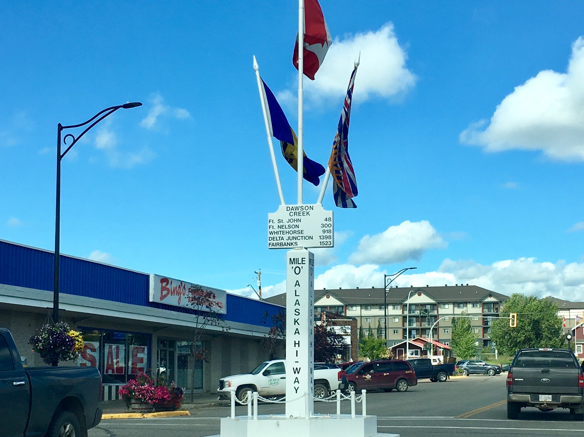
The place where it all started in 1942.

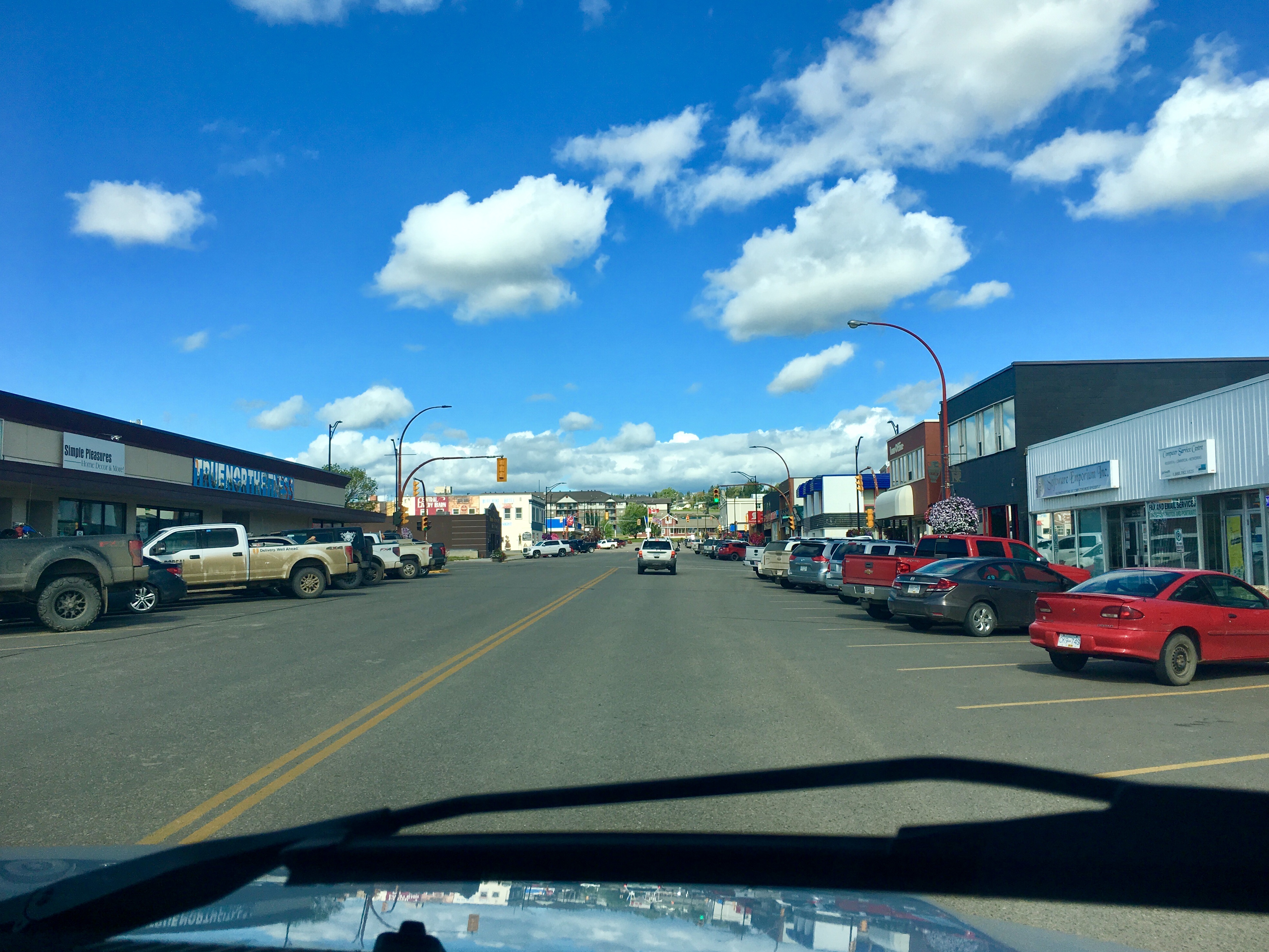
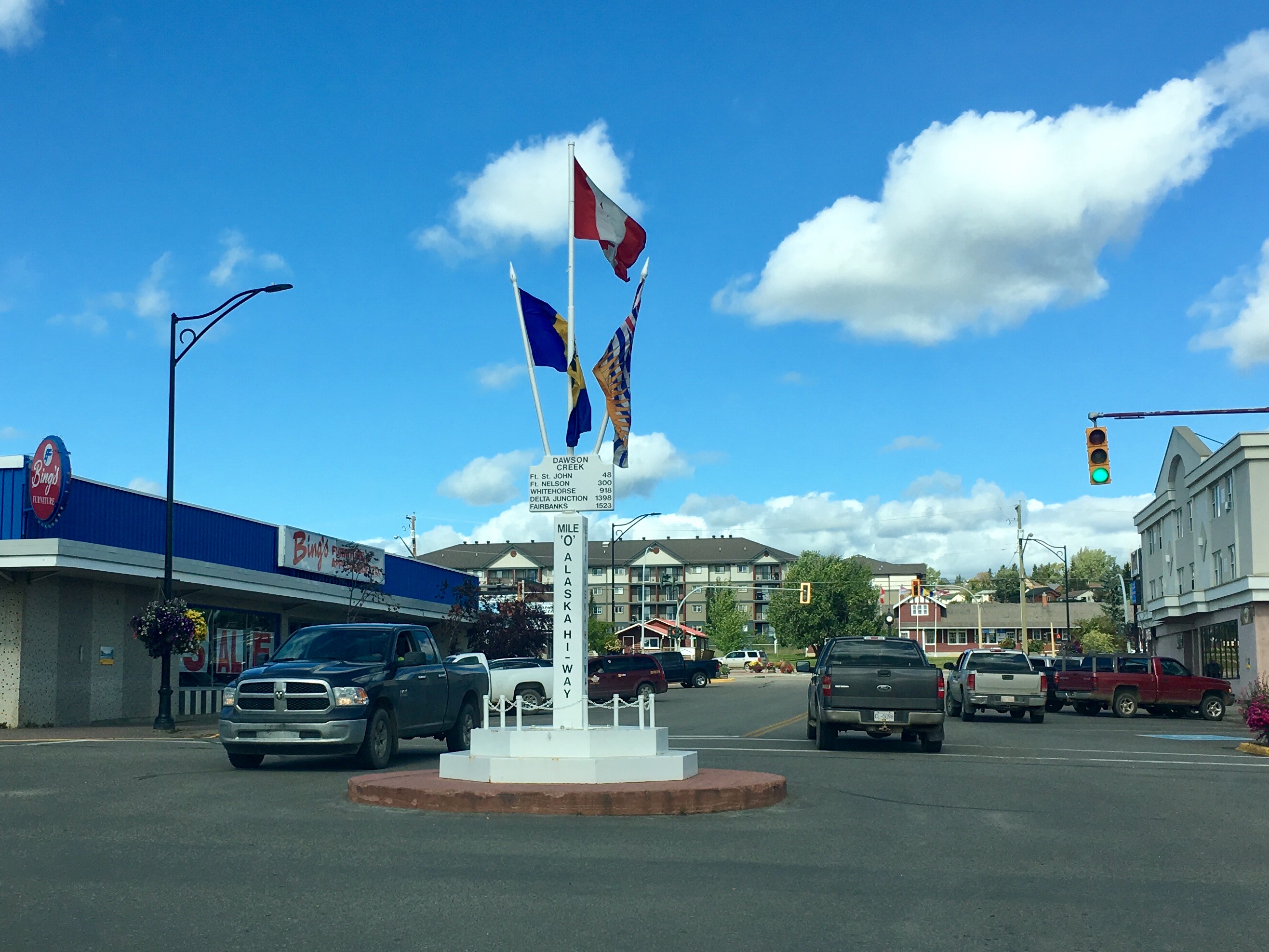
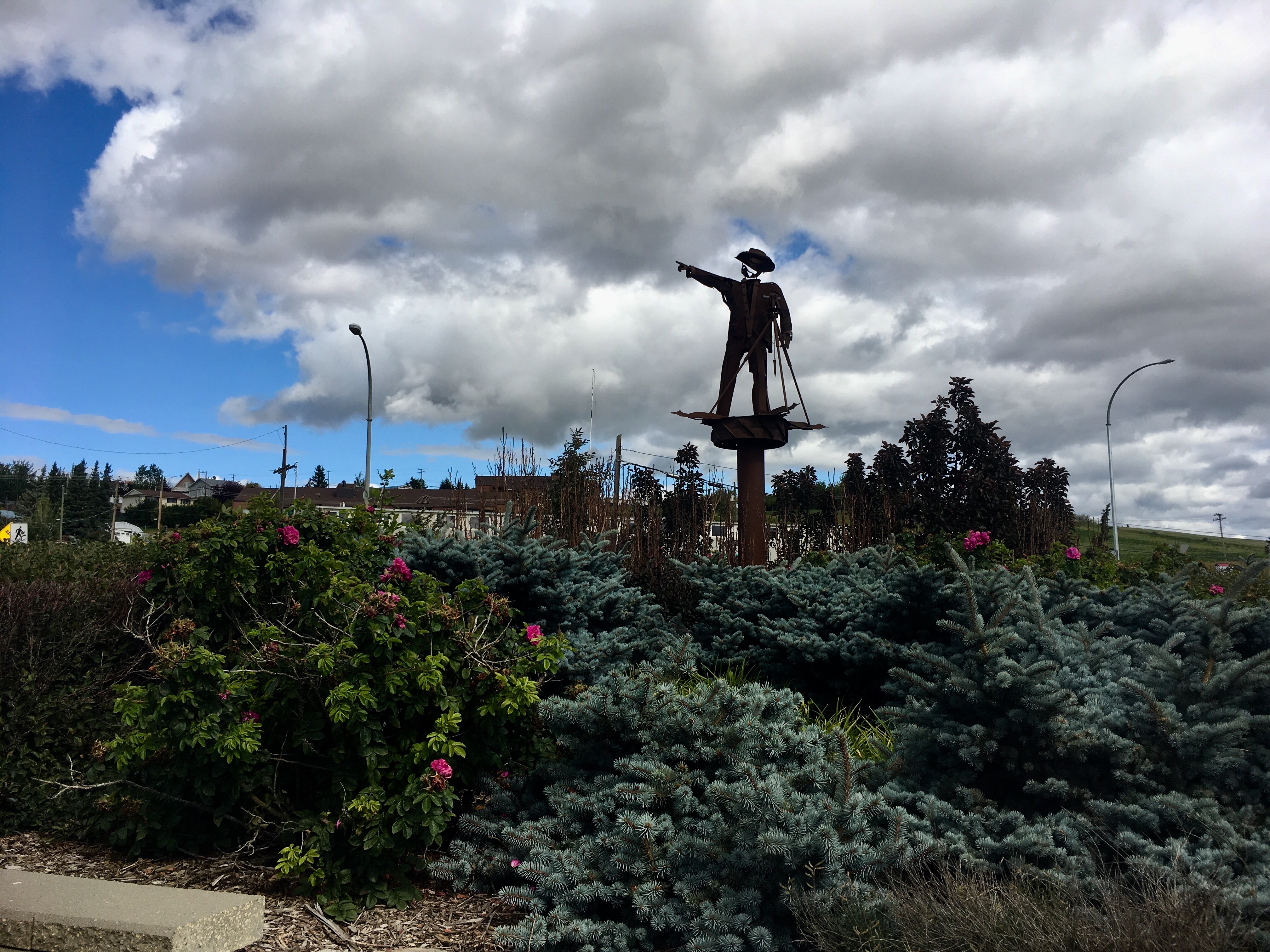
The official milepost 0 spot in the middle of town.
But if not…
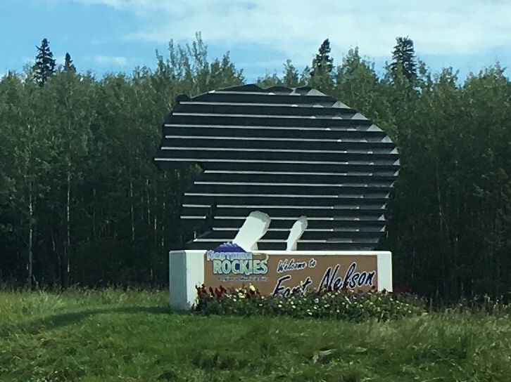
Fort Nelson was an interesting stop. We were looking for a place to camp for a couple nights away from too many lights so that we could see the Northern Lights. Fort Nelson seemed like a good candidate. The town is going through tough times with the loss of both the timber industry due to tax changes and a gas plant shutting down. People were nice and friendly but not very optimistic about the town’s prospects. Unfortunately, the aurora didn’t cooperate.
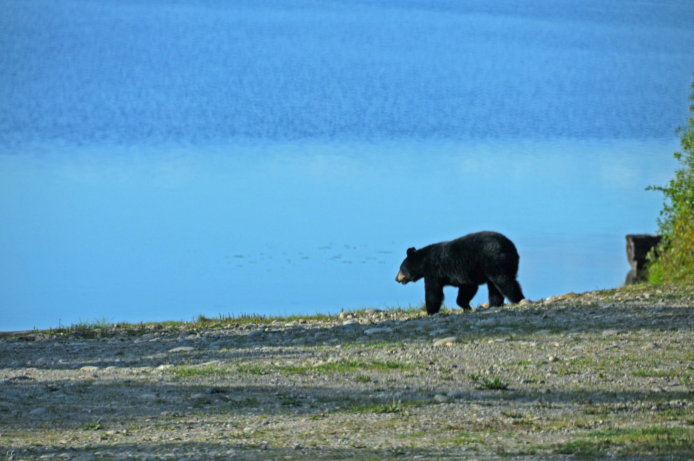
A black bear and her cub rushing across the road. The cub was slow, making it easier than usual to get a picture.
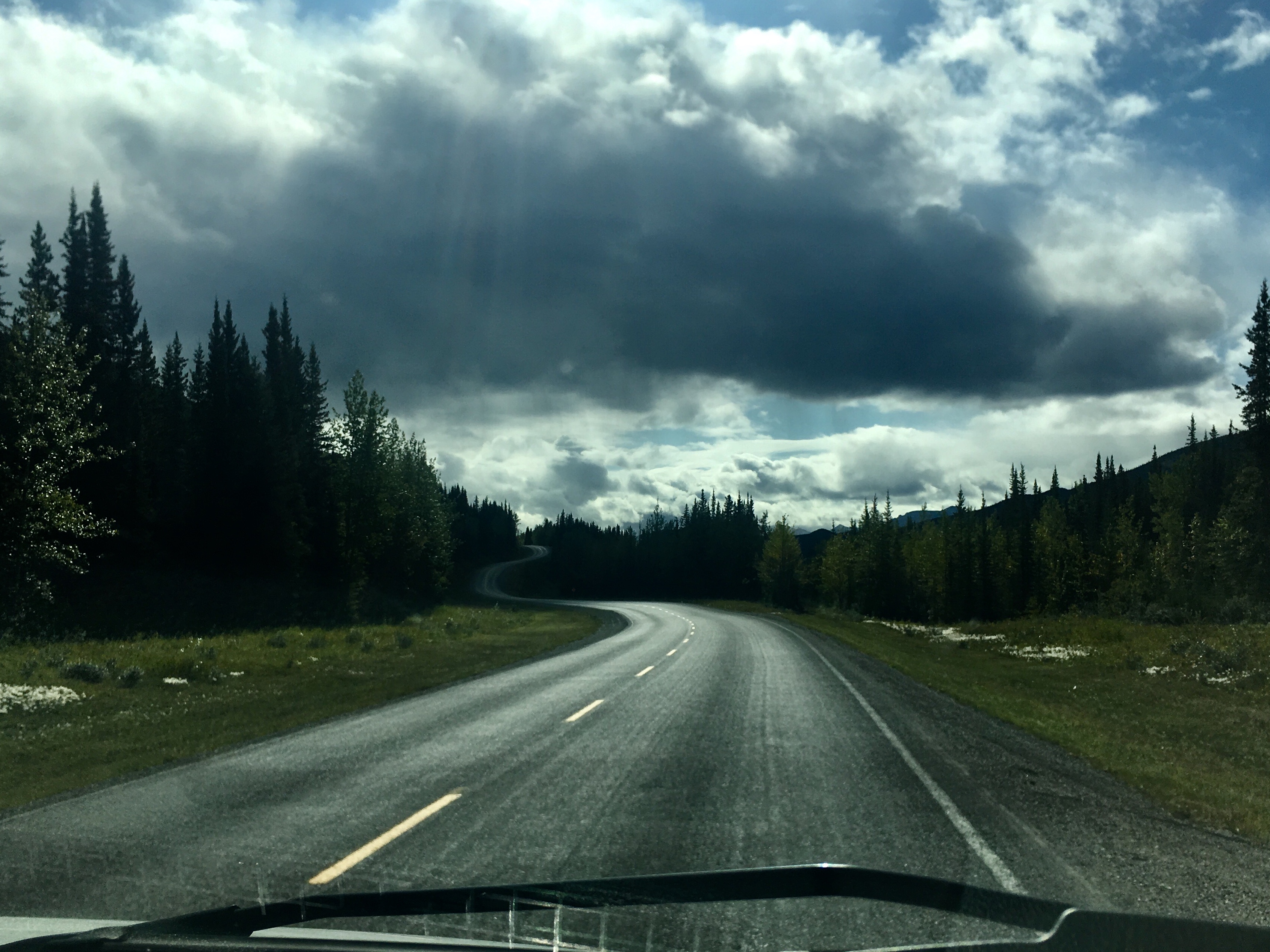
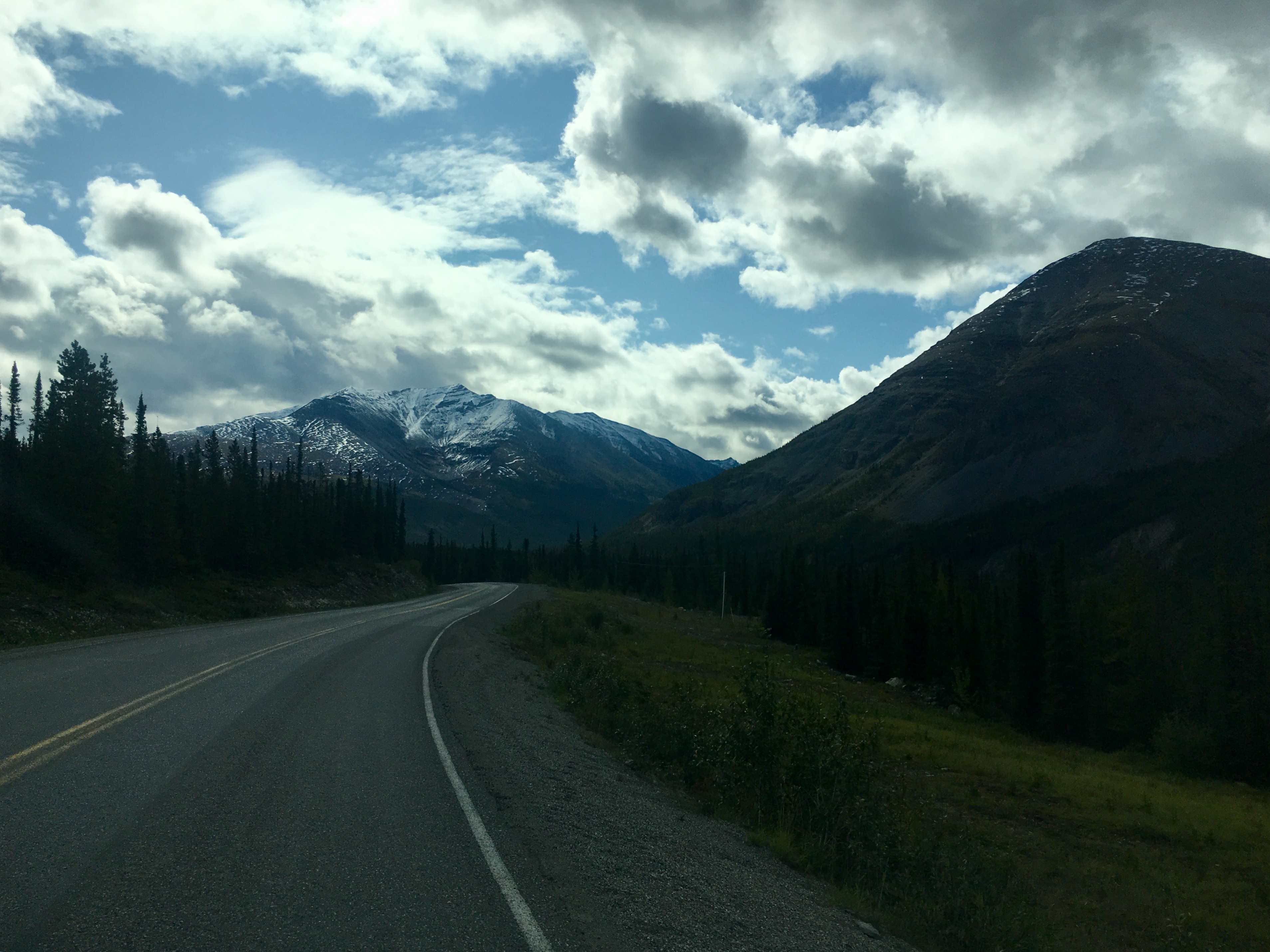
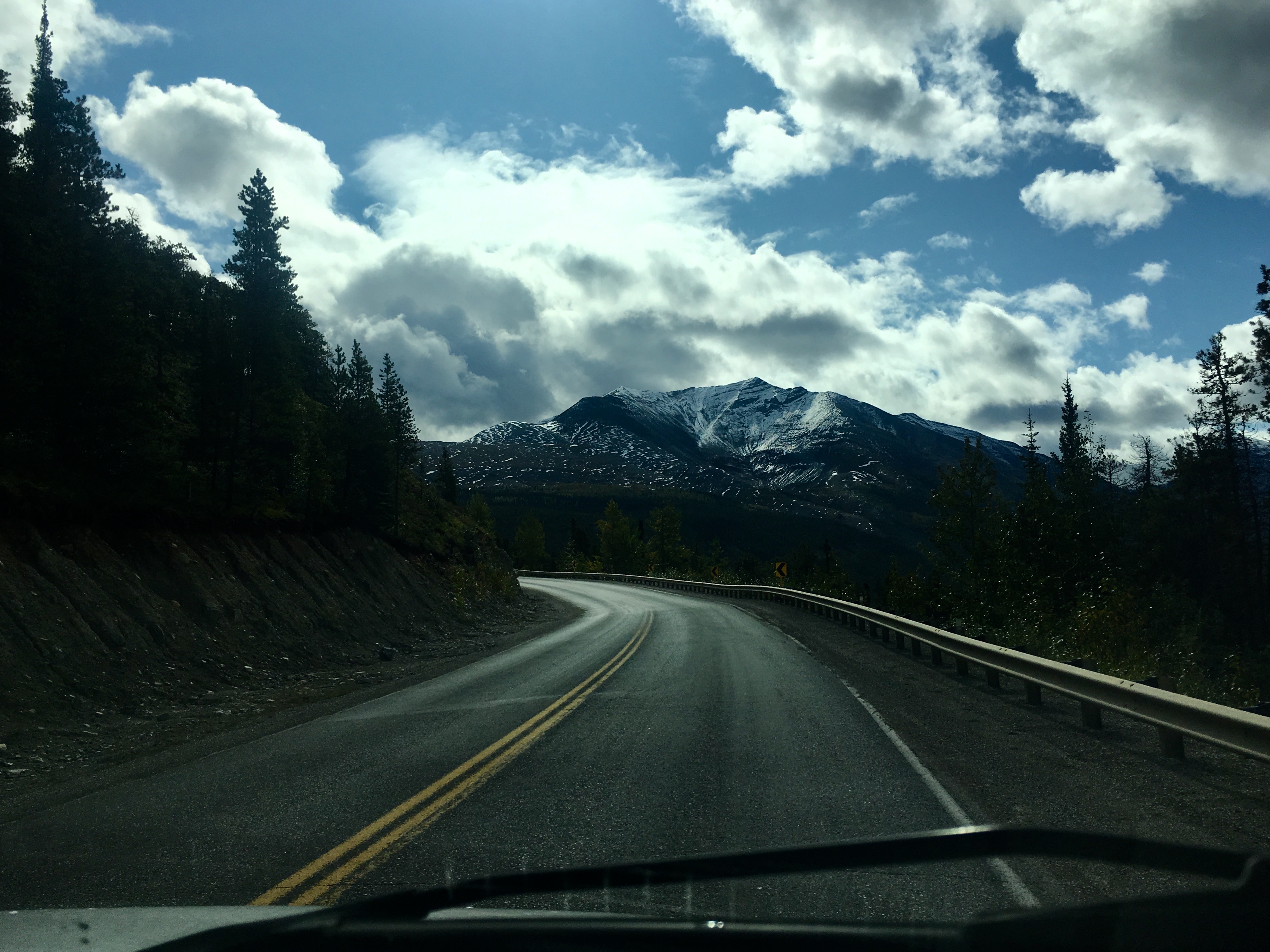
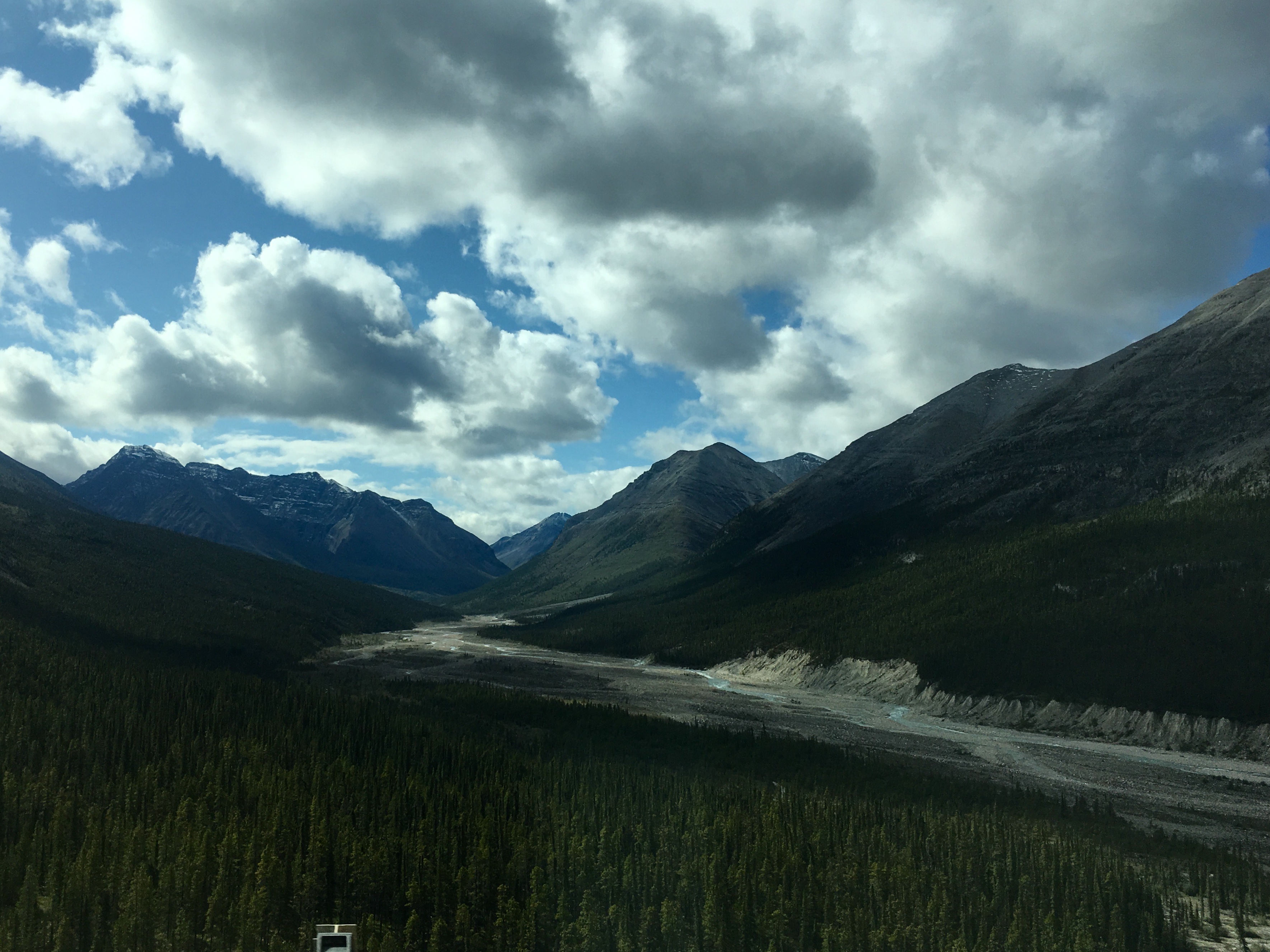
Still amazing scenery around every corner.
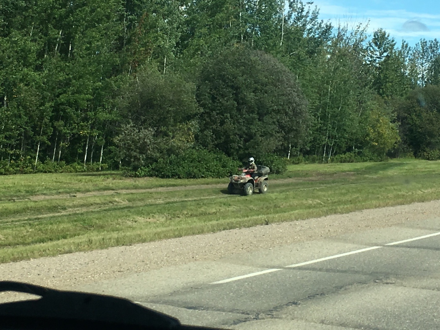
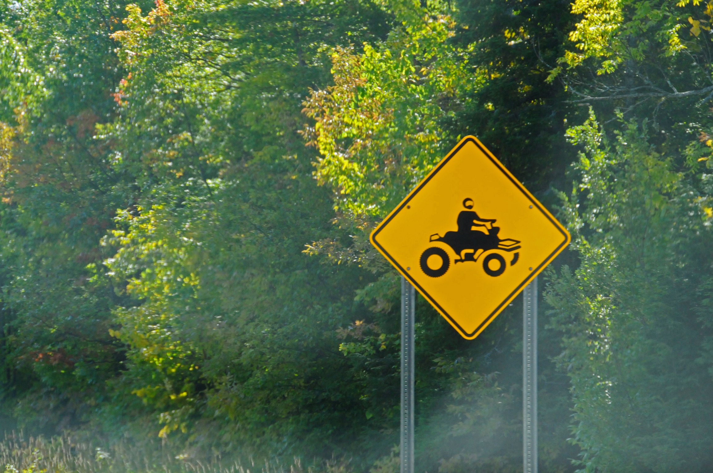
We saw quads everywhere. There are seemingly permanent trails alongside each road that are used for 4 wheelers in the summer and dog sleds in the winter.
Another black bear skedaddling across the road. They were always pretty quick and hard to get pictures of.
The weather seemed to add to the dramatic views!
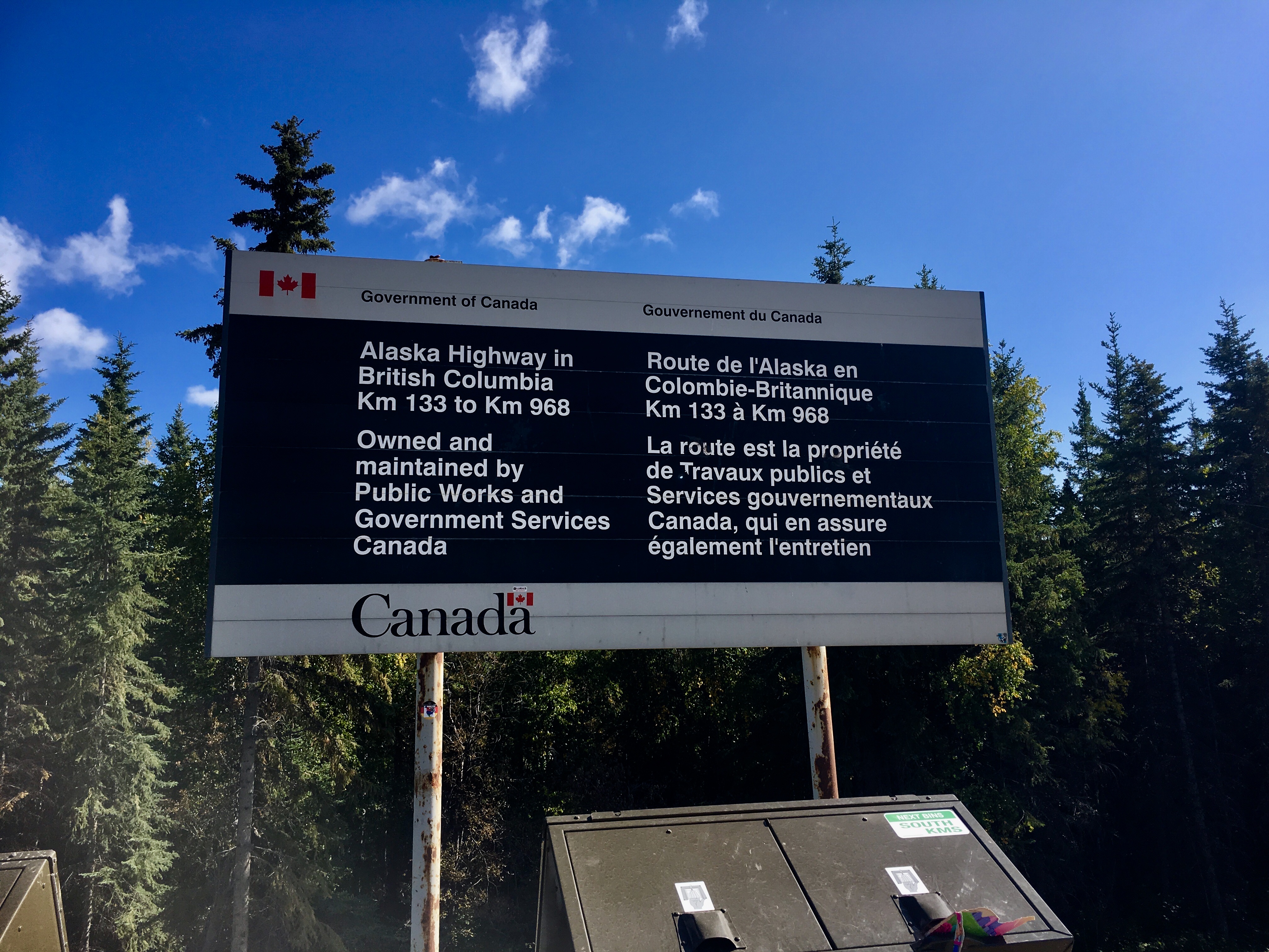
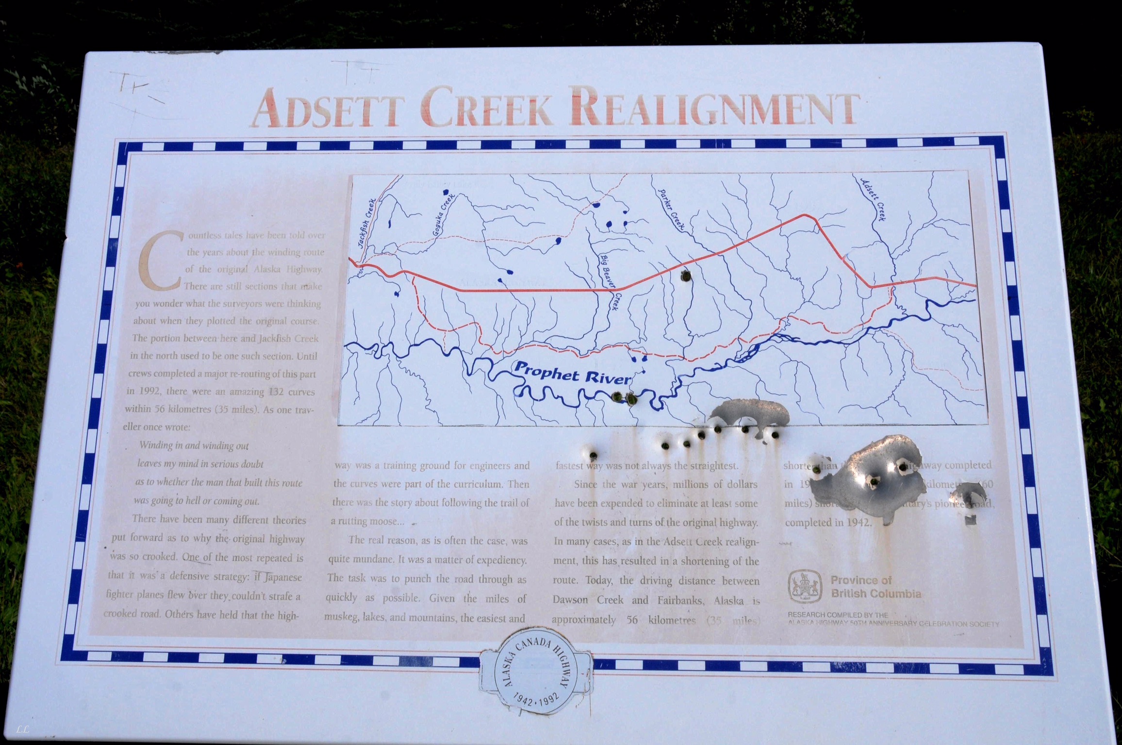
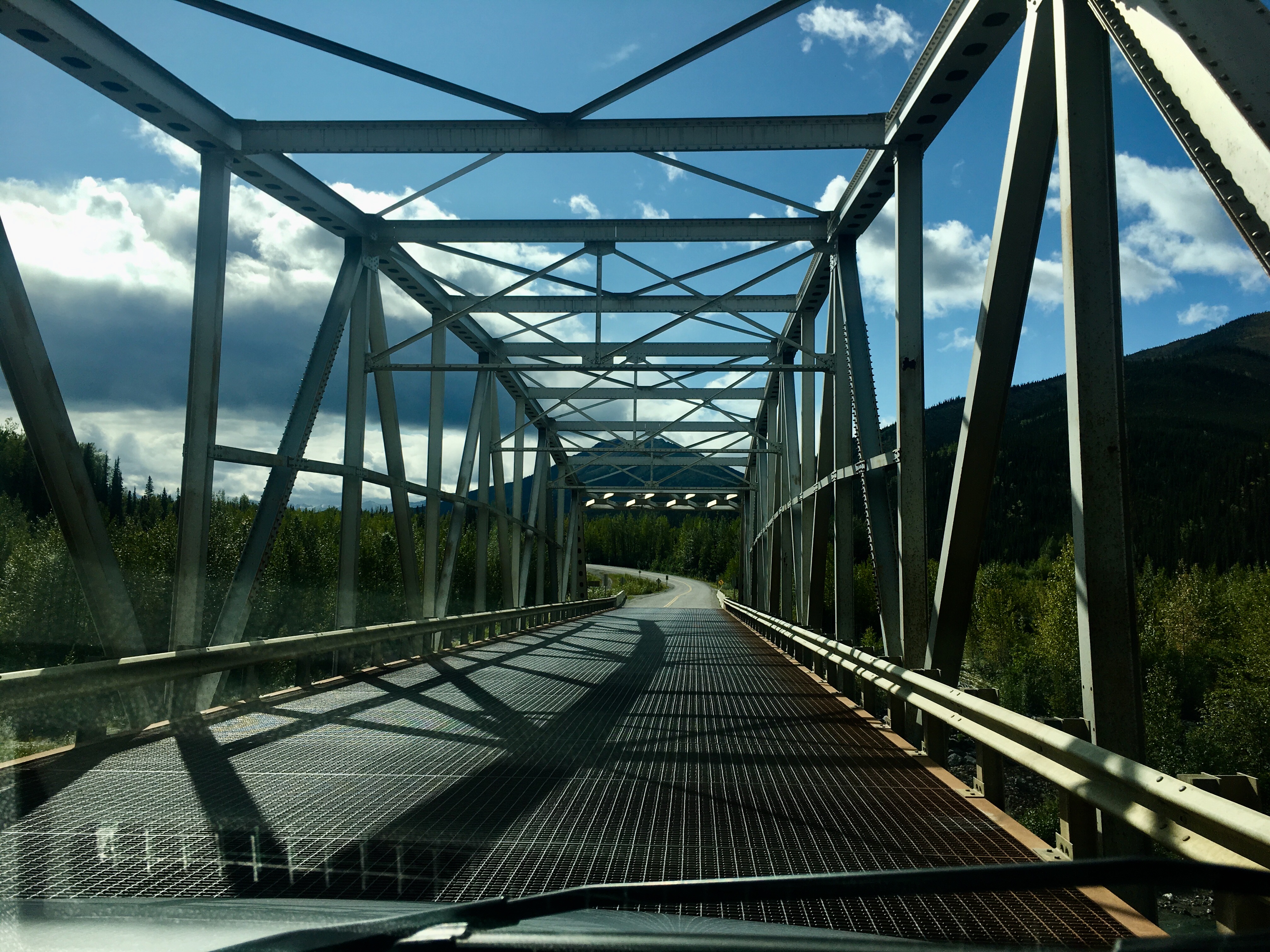
Over time, sections of the Alaska highway have been re-aligned to make them more easily traveled. Some of the new projects fixed the steep grades – some were initially as high as 25%, now down to 10%. Sometimes they went around small communities to avoid high traffic areas (at least high for the area) and sometimes they just looked for better conditions with less permafrost to contend with.
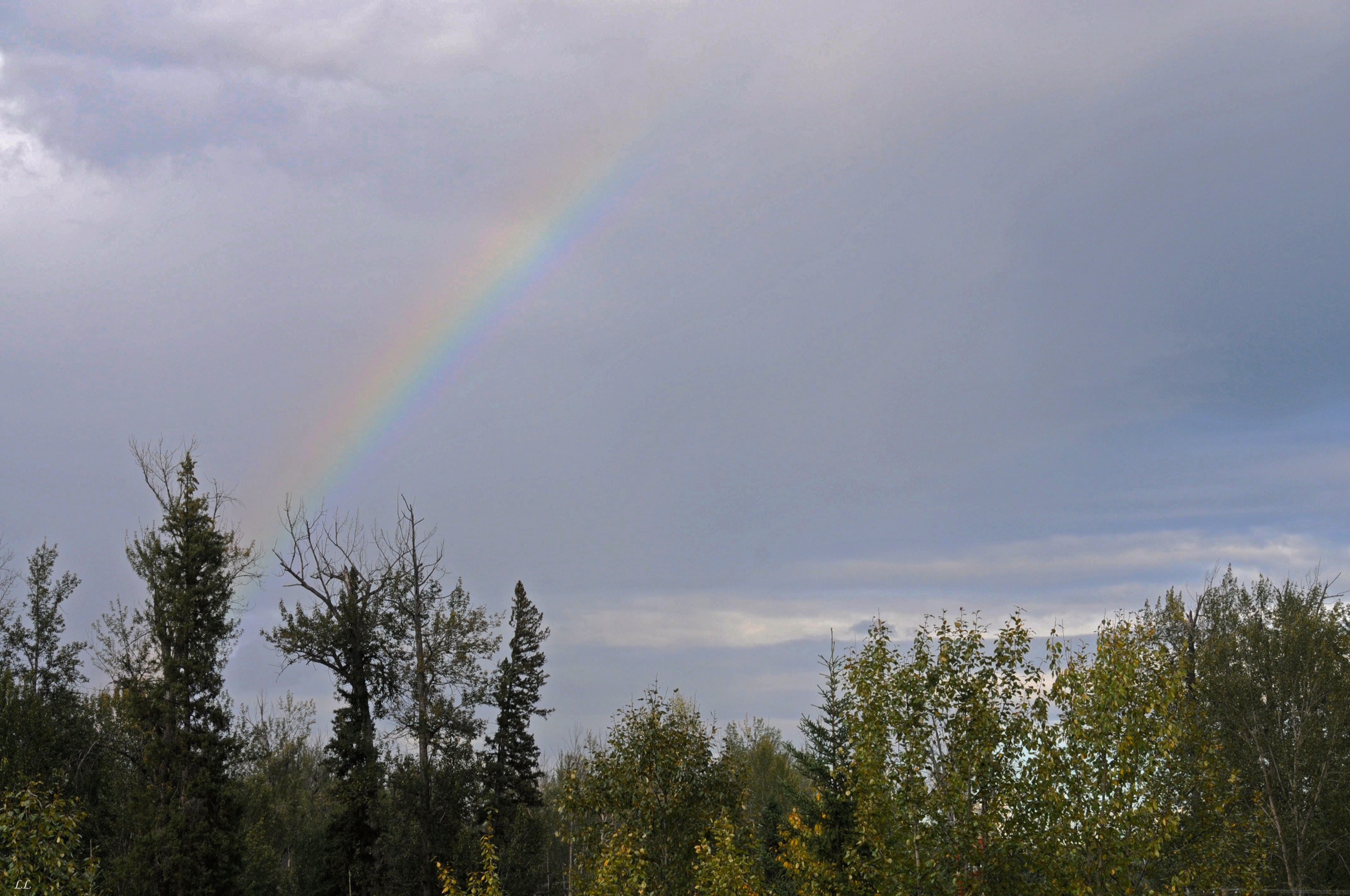
Rainbow!
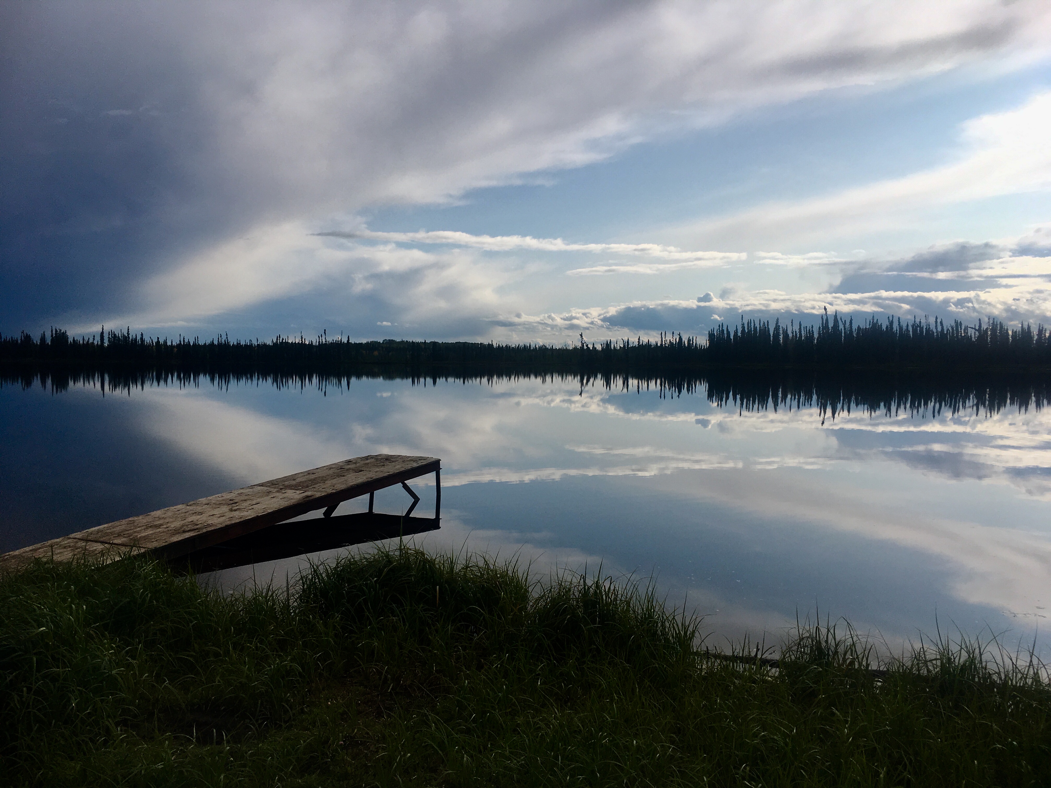
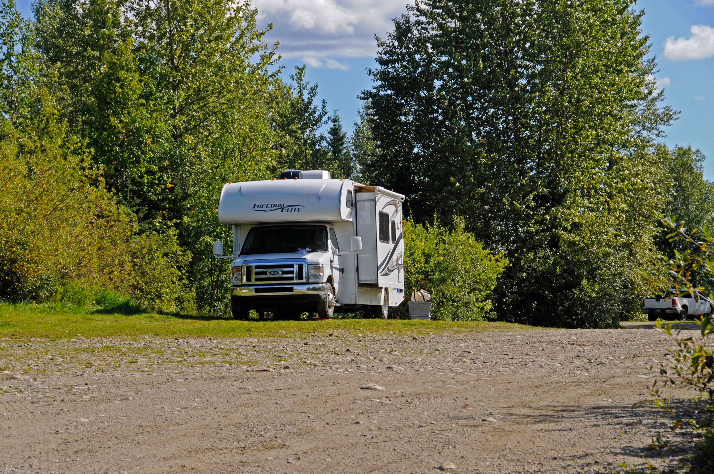
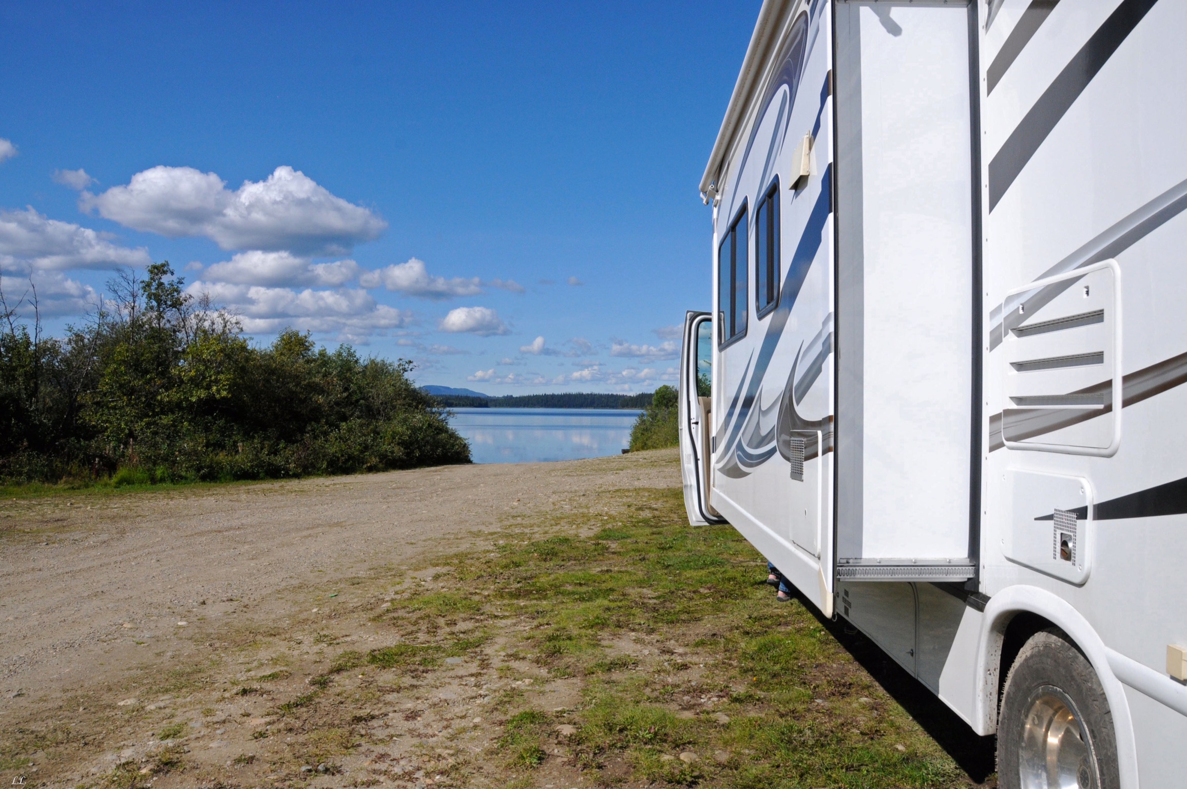
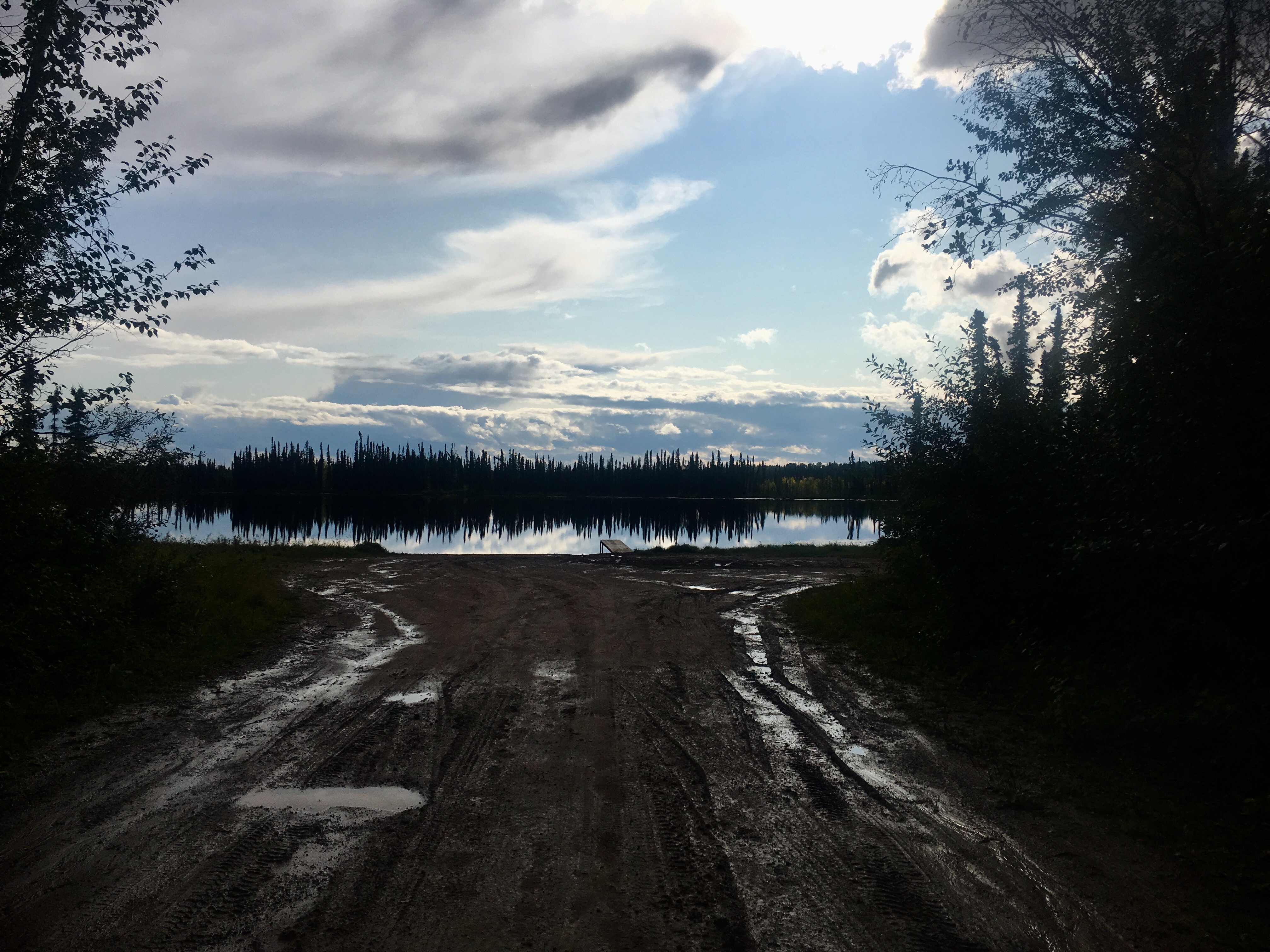
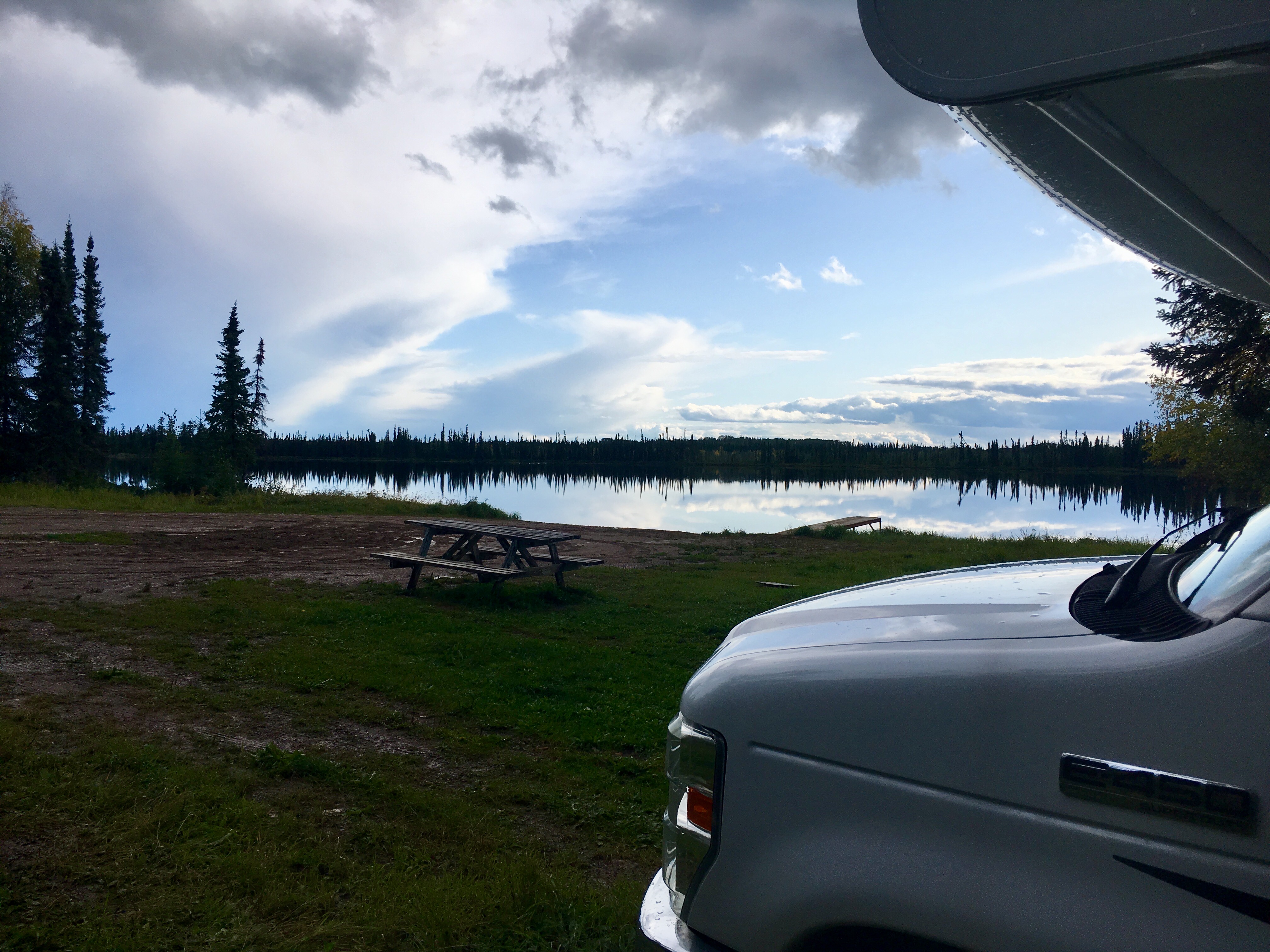
Another of the little out of the way campsites we found. Through the course of the summer, we rarely camped in places with any amenities like power or water. Most of our favorite spots were simply little spots like this one along the side of small lake or river.
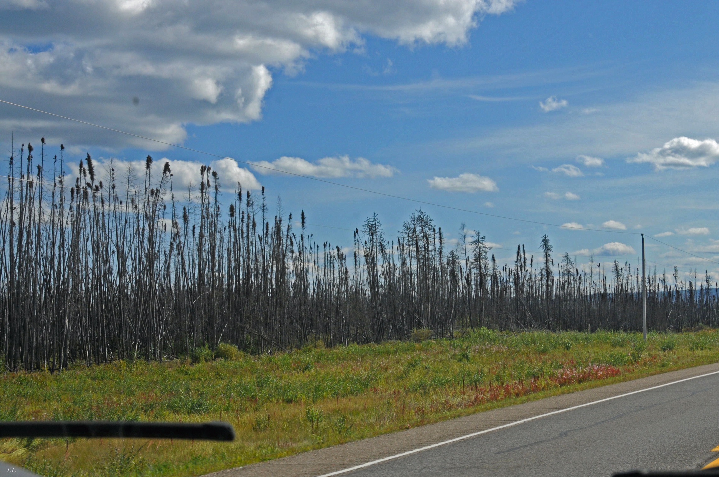
There is a major spruce beetle infestation problem in both Alaska and Canada. Apparently the beetles bore into the bark and kill the tree. There were miles of dead trees. One campground close to Denali was closed due to all the dead trees falling down.
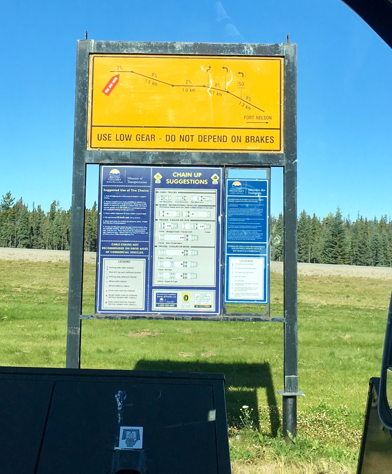
The grades were pretty steep in places. Steep enough that trucks had to worry about losing their brakes. Of course, there are no nifty runaway truck ramps for bailing out. More ominously, many of the steep grades had designated “chain-up” and “chain-off” areas on either end. Bet those sections are a lot of fun in ice and snow!
But if not…
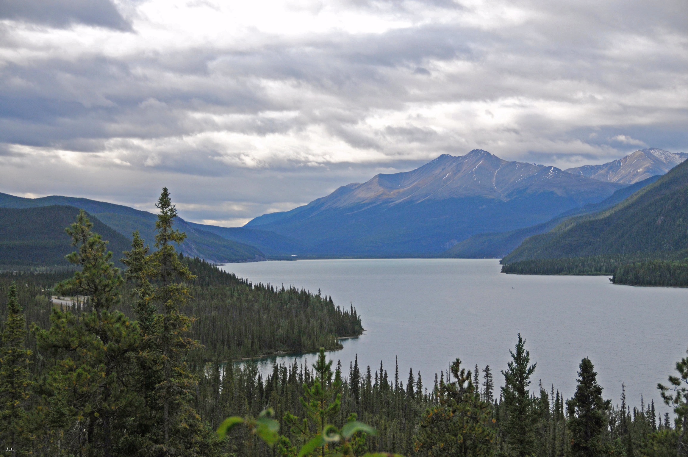
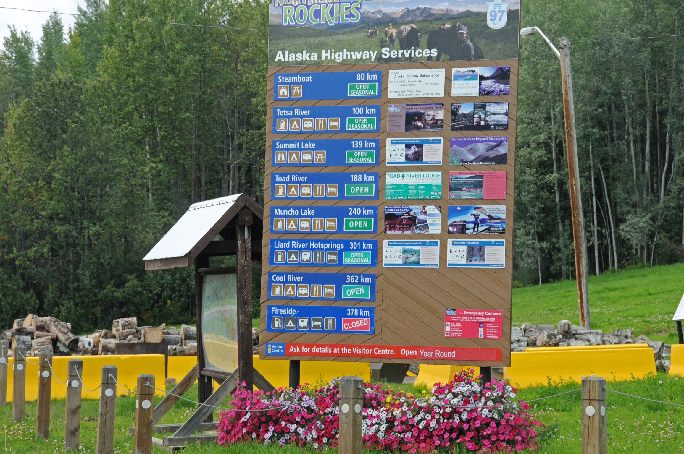
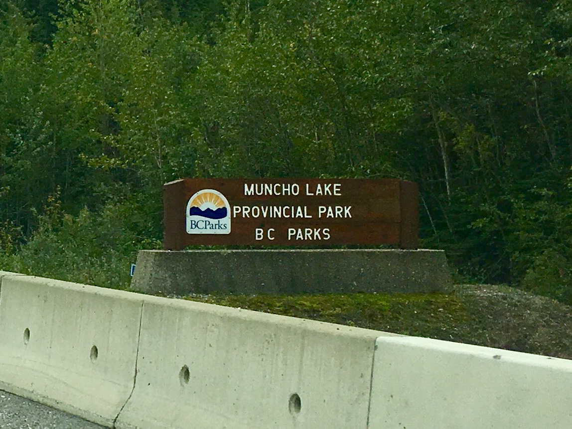
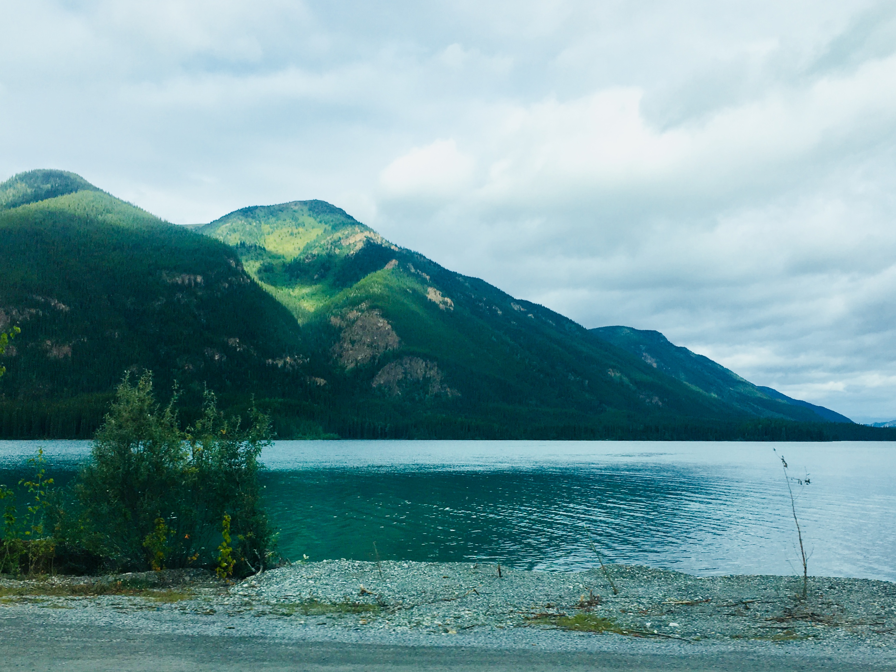
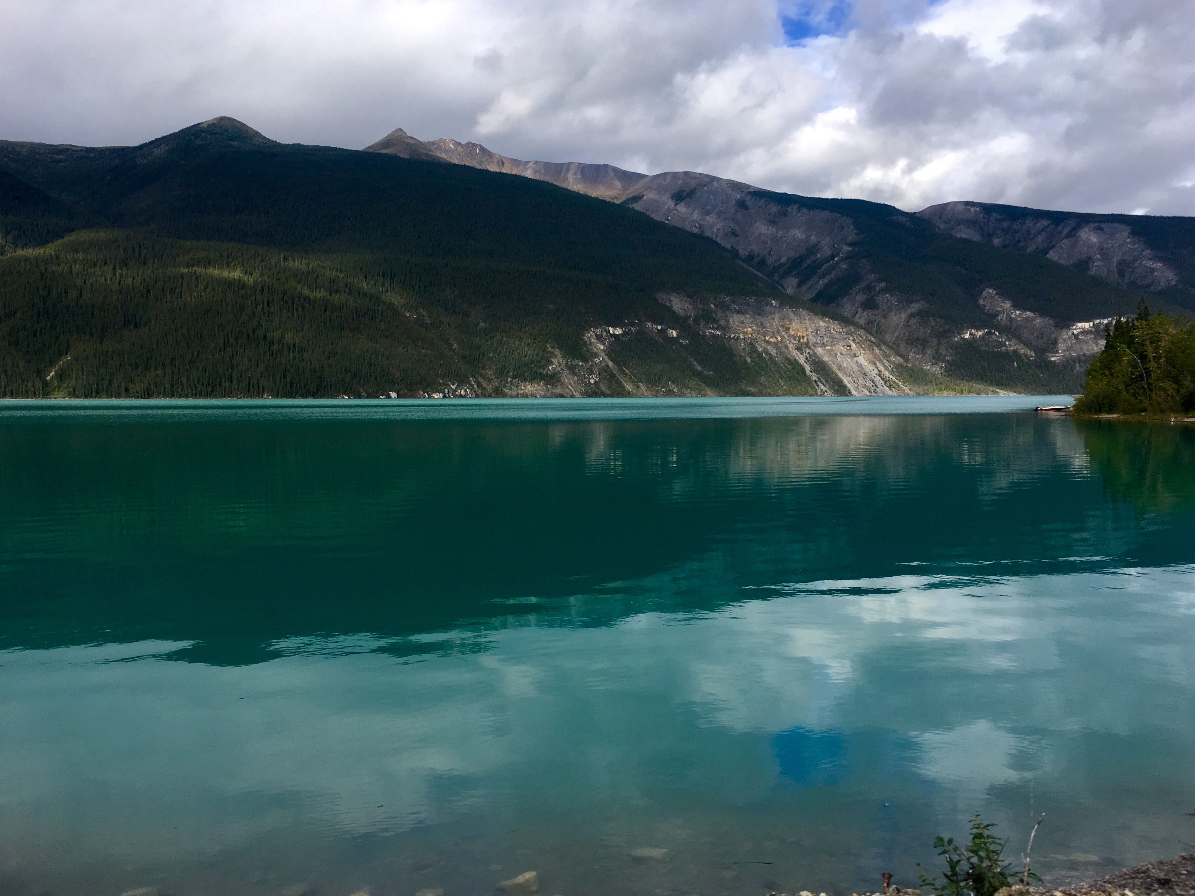
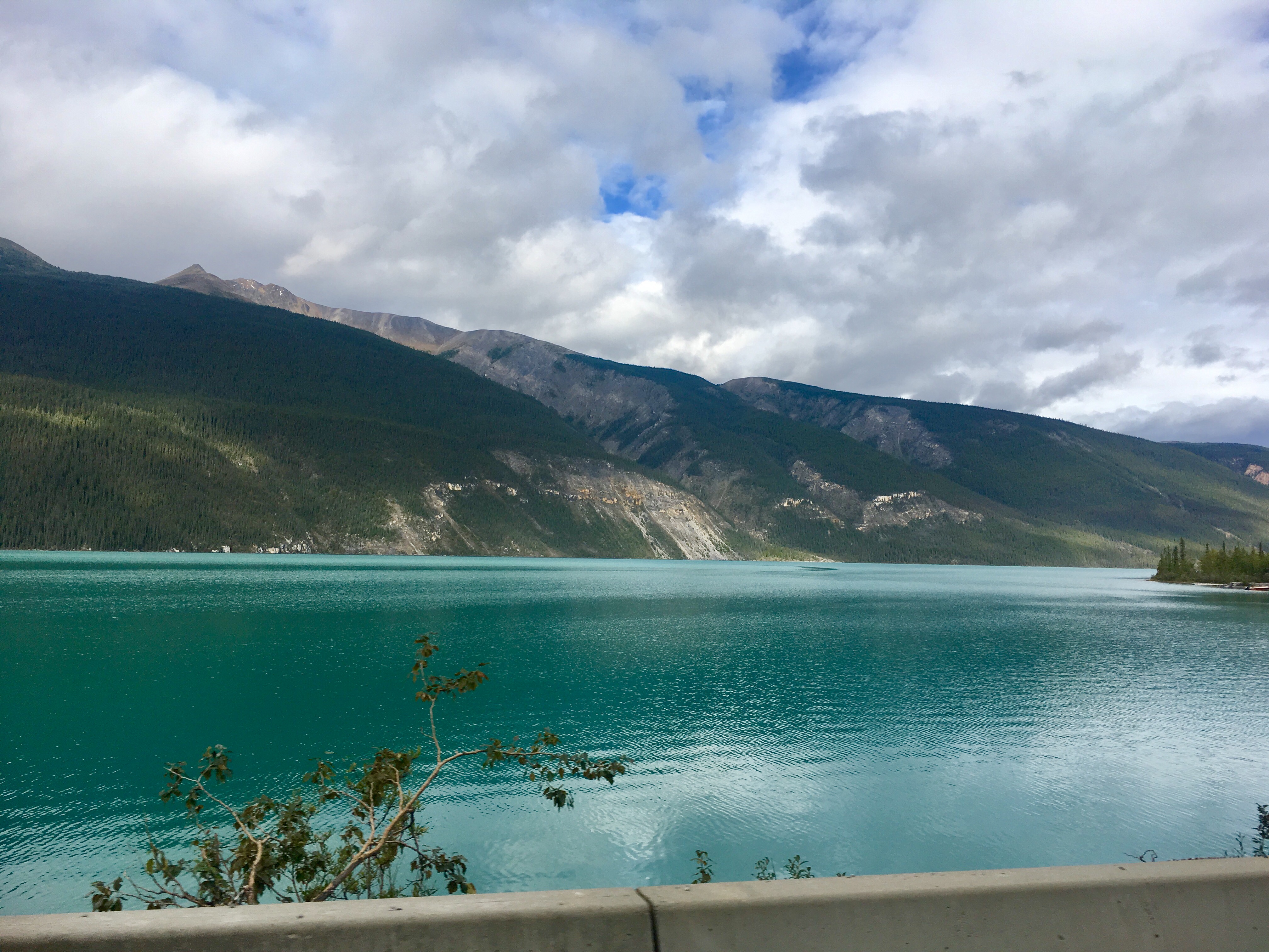
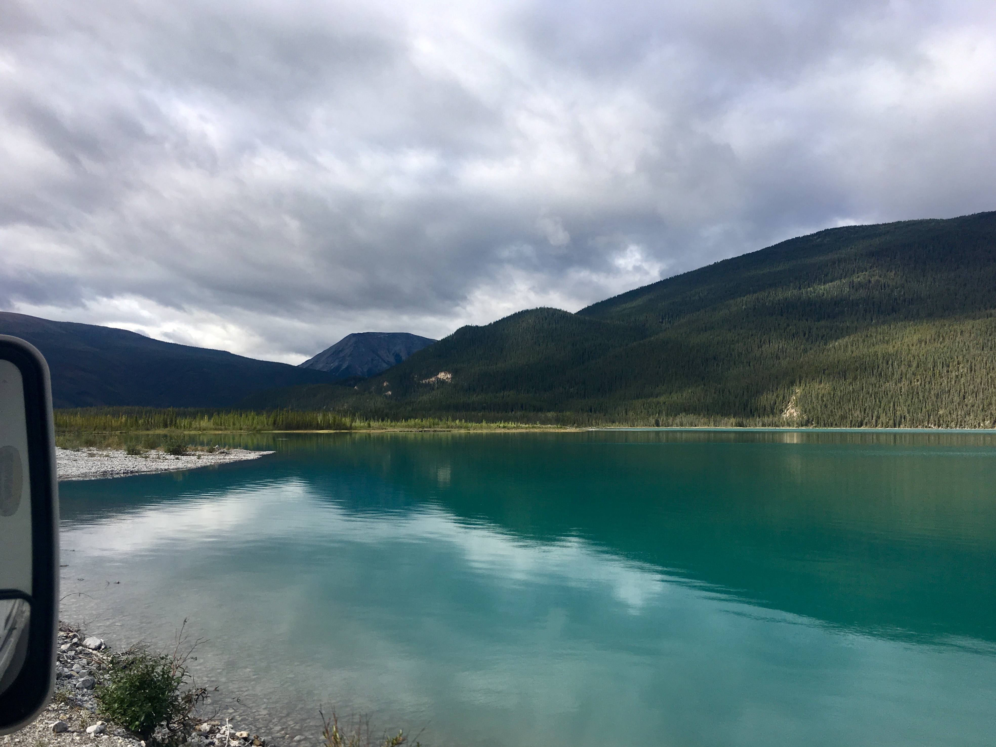
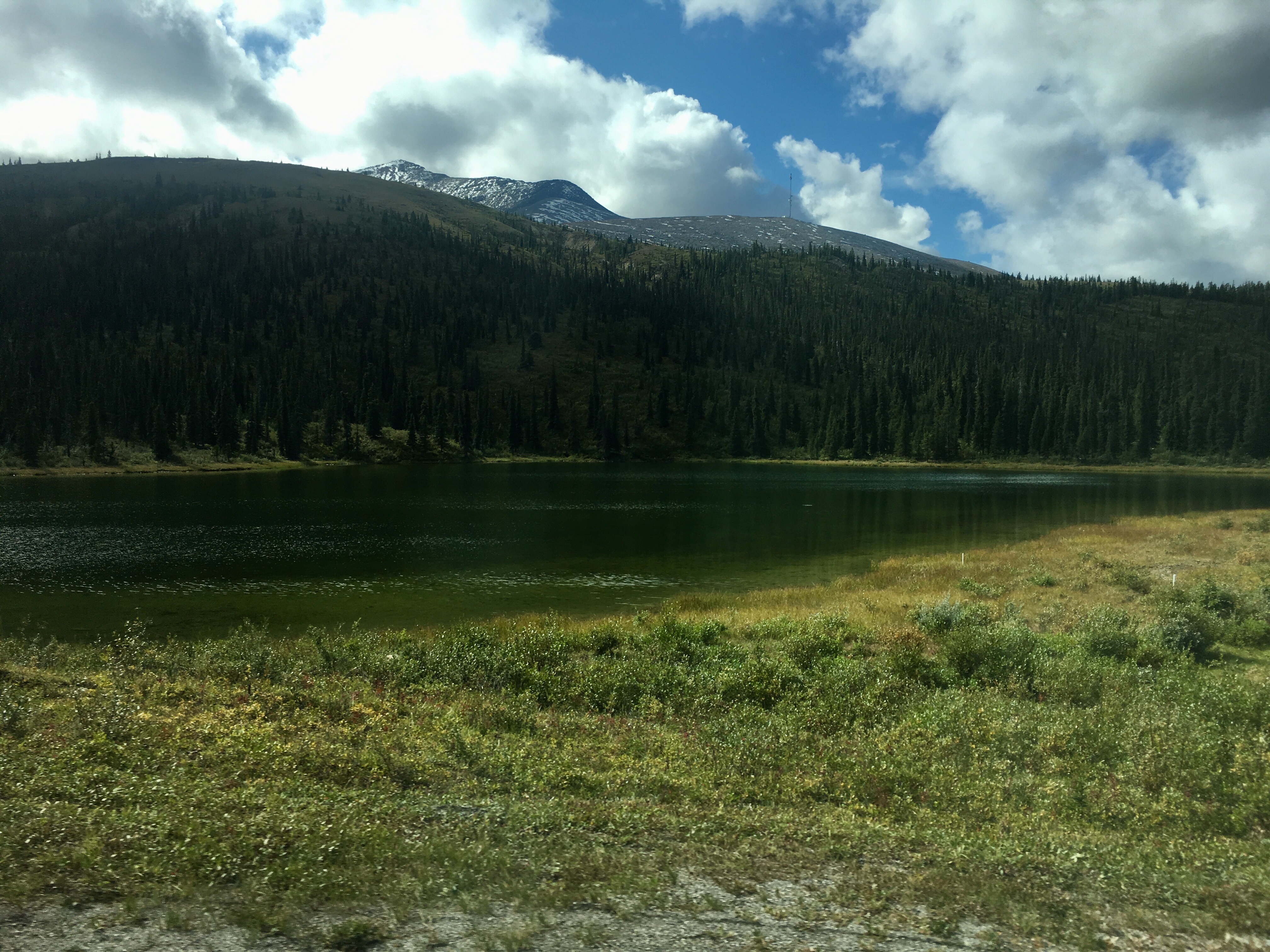
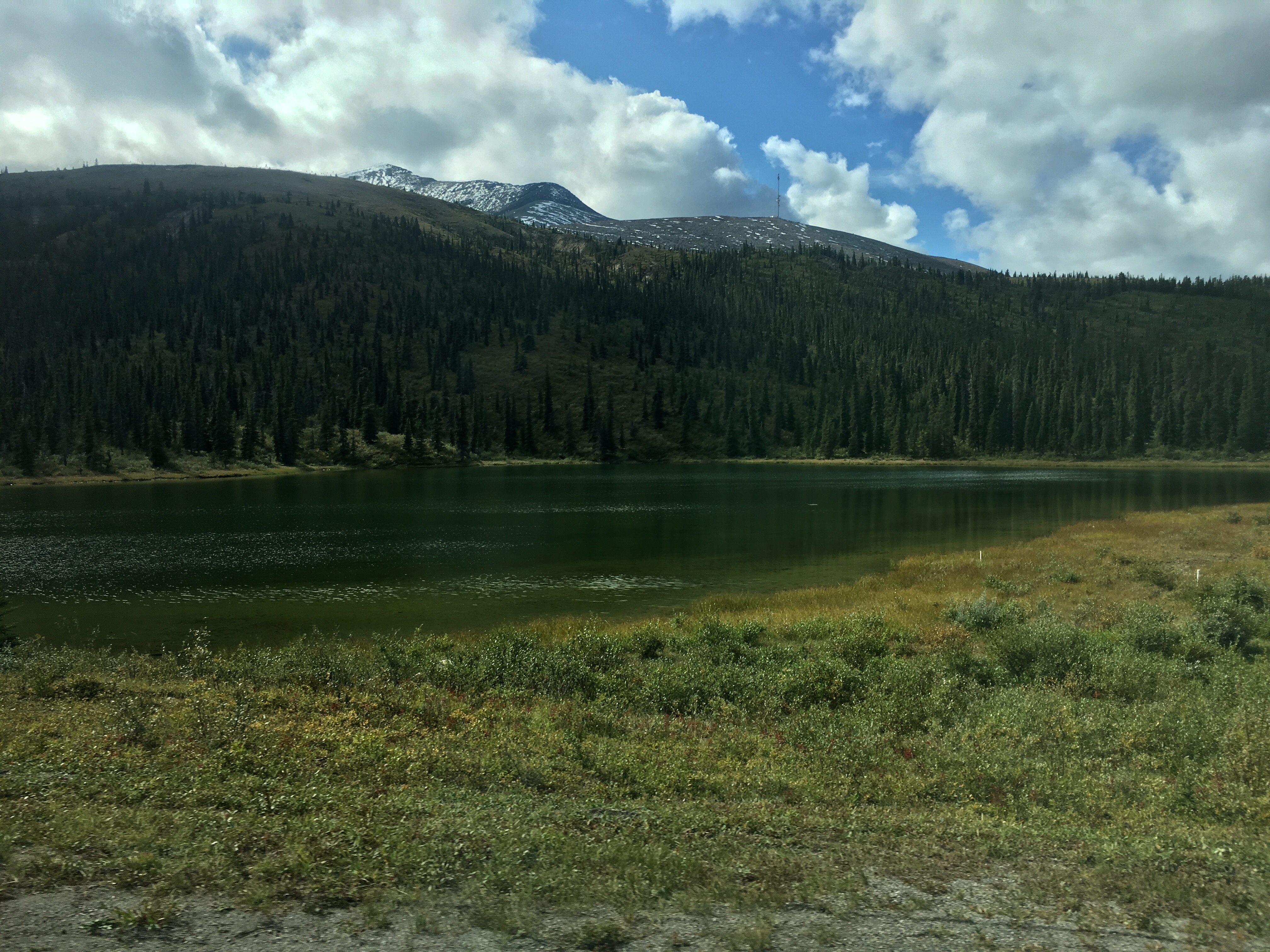
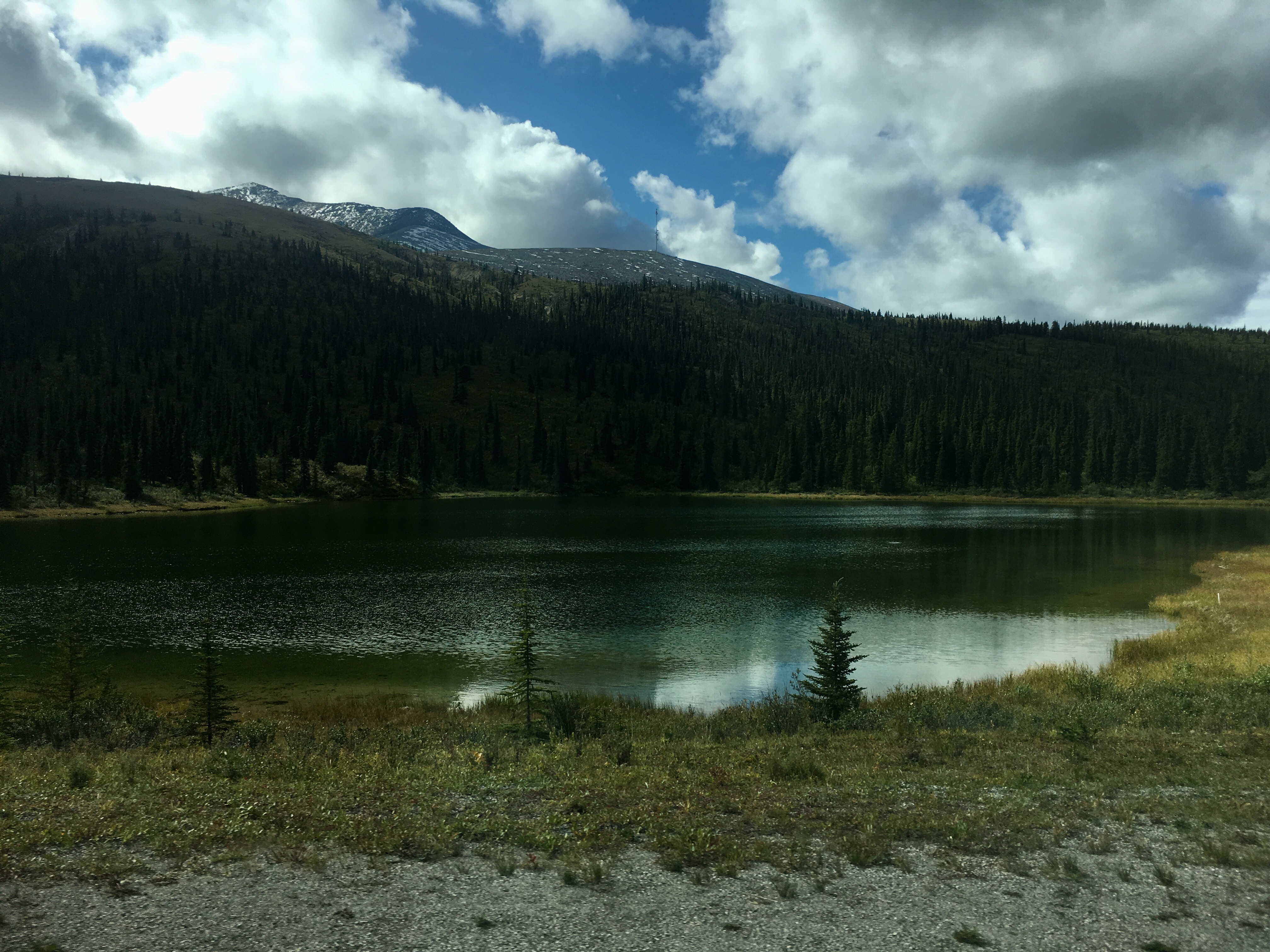
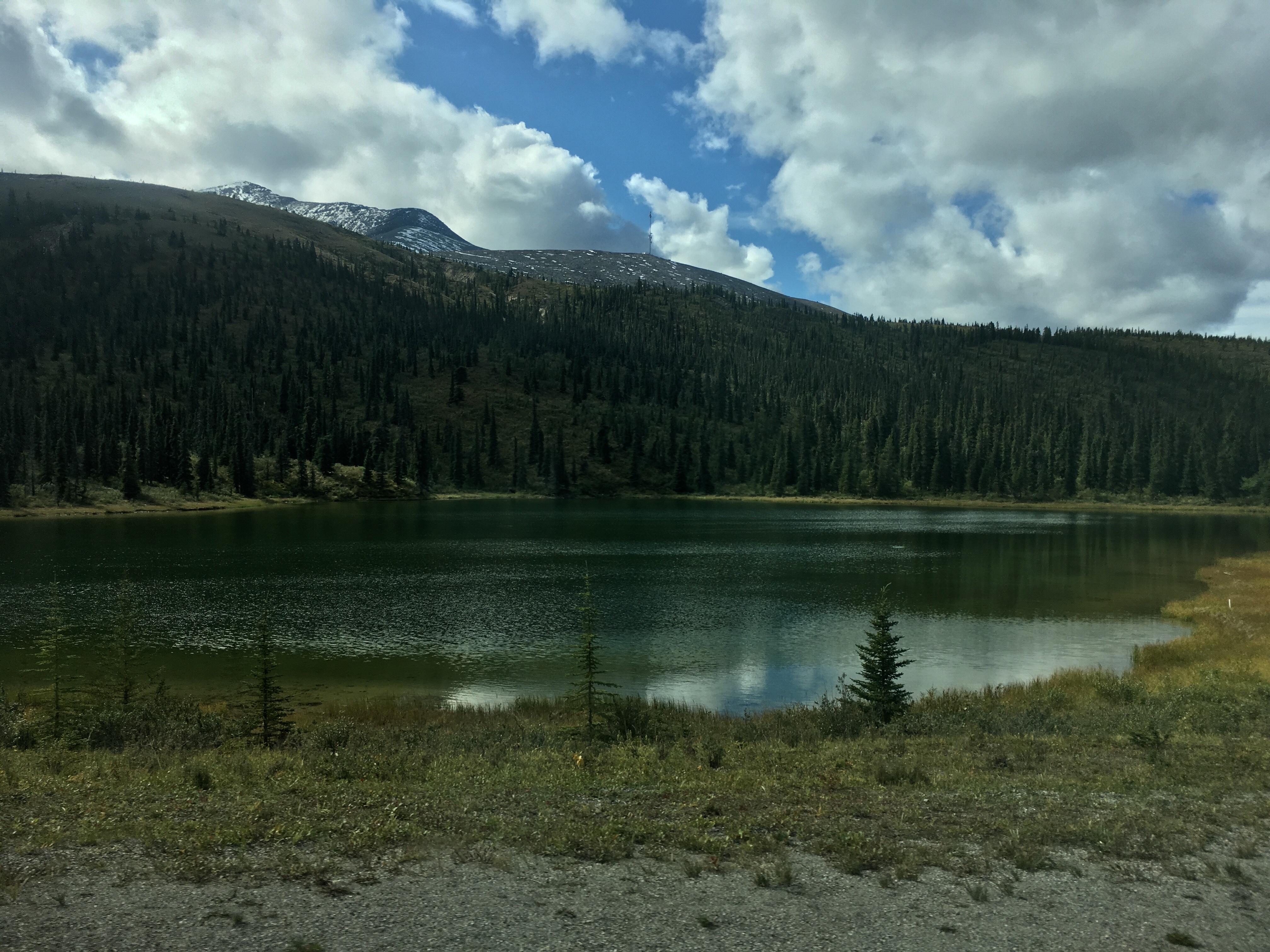
Muncho Lake & Stone Mountain Park
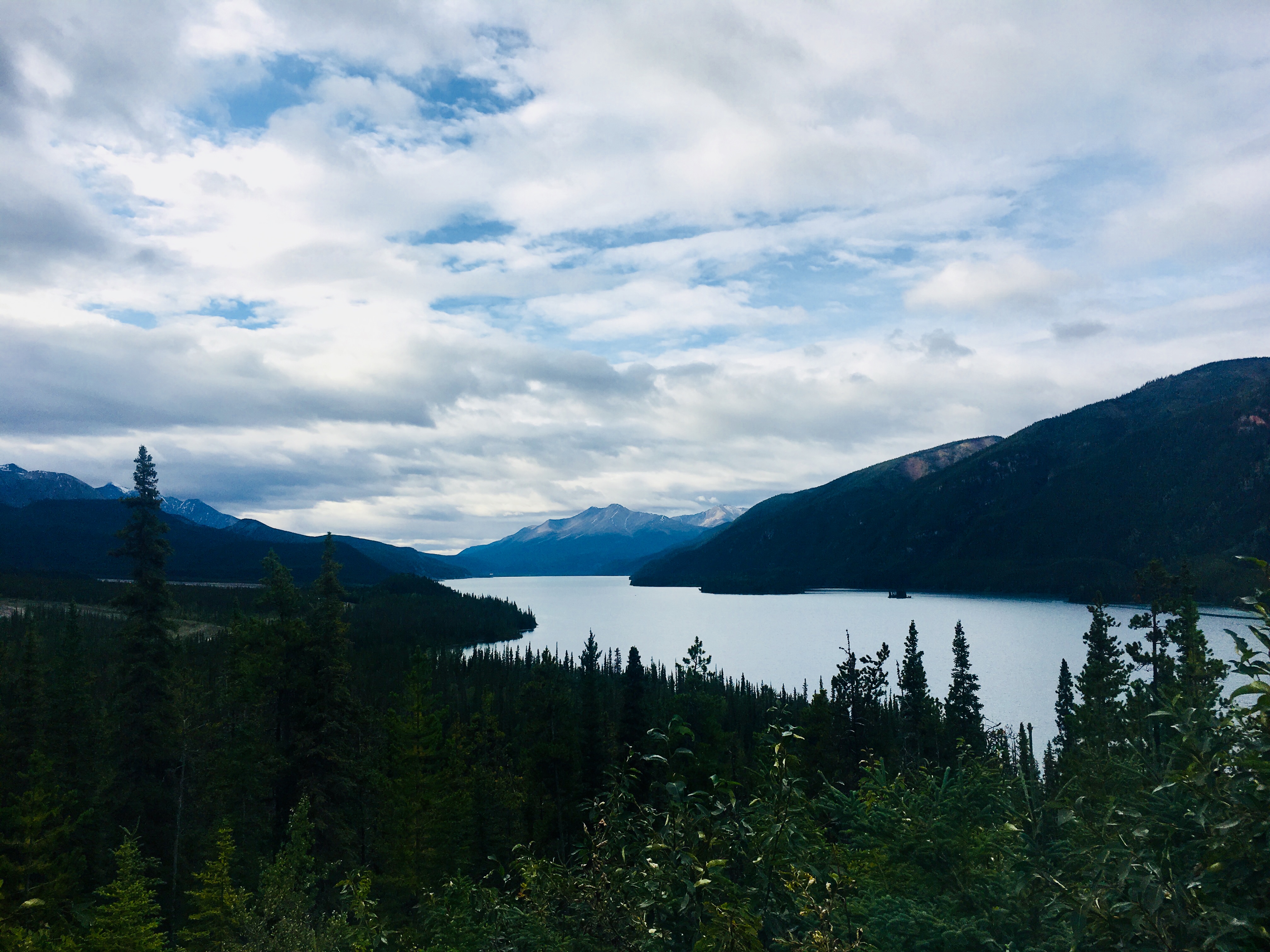
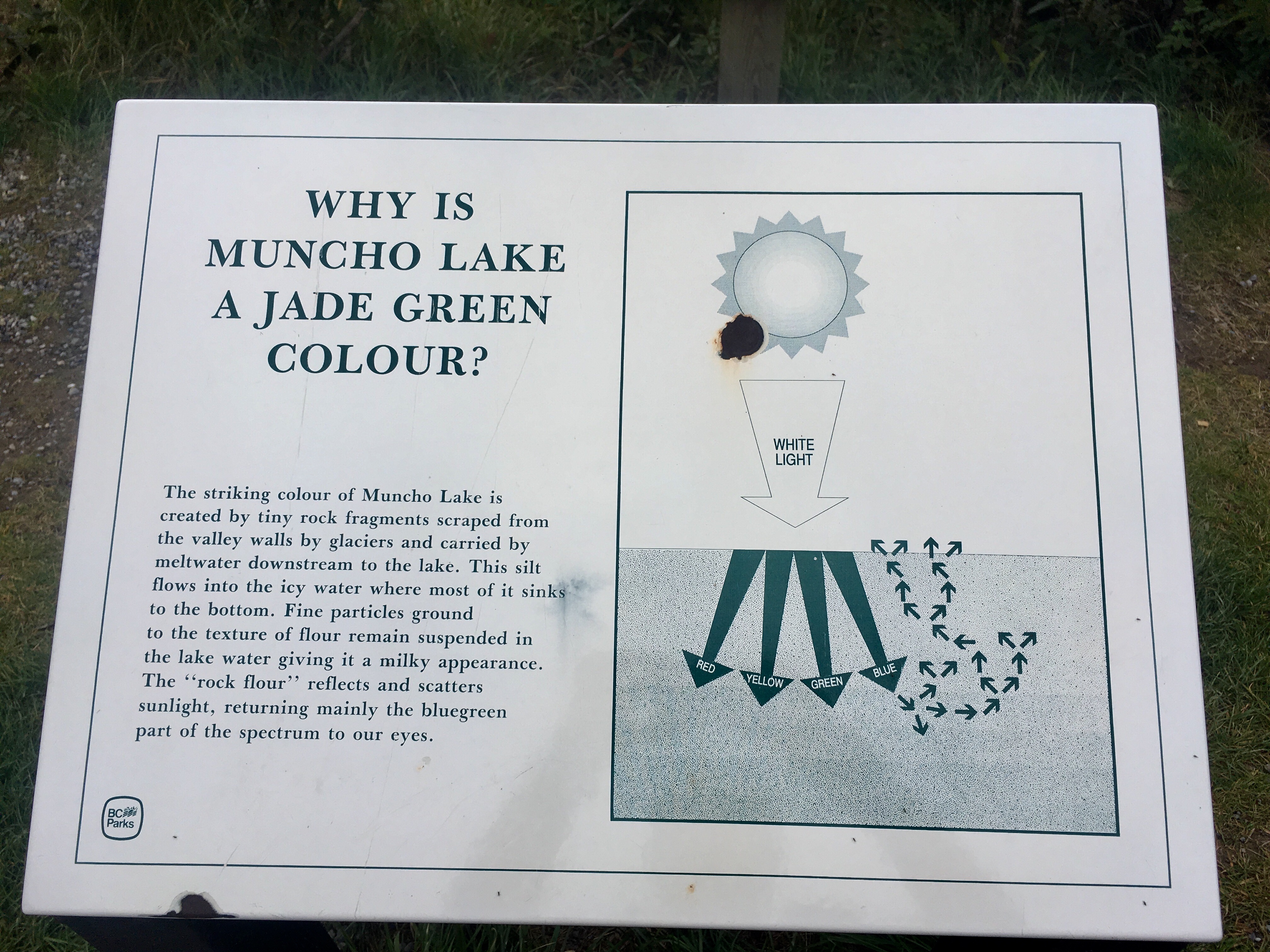
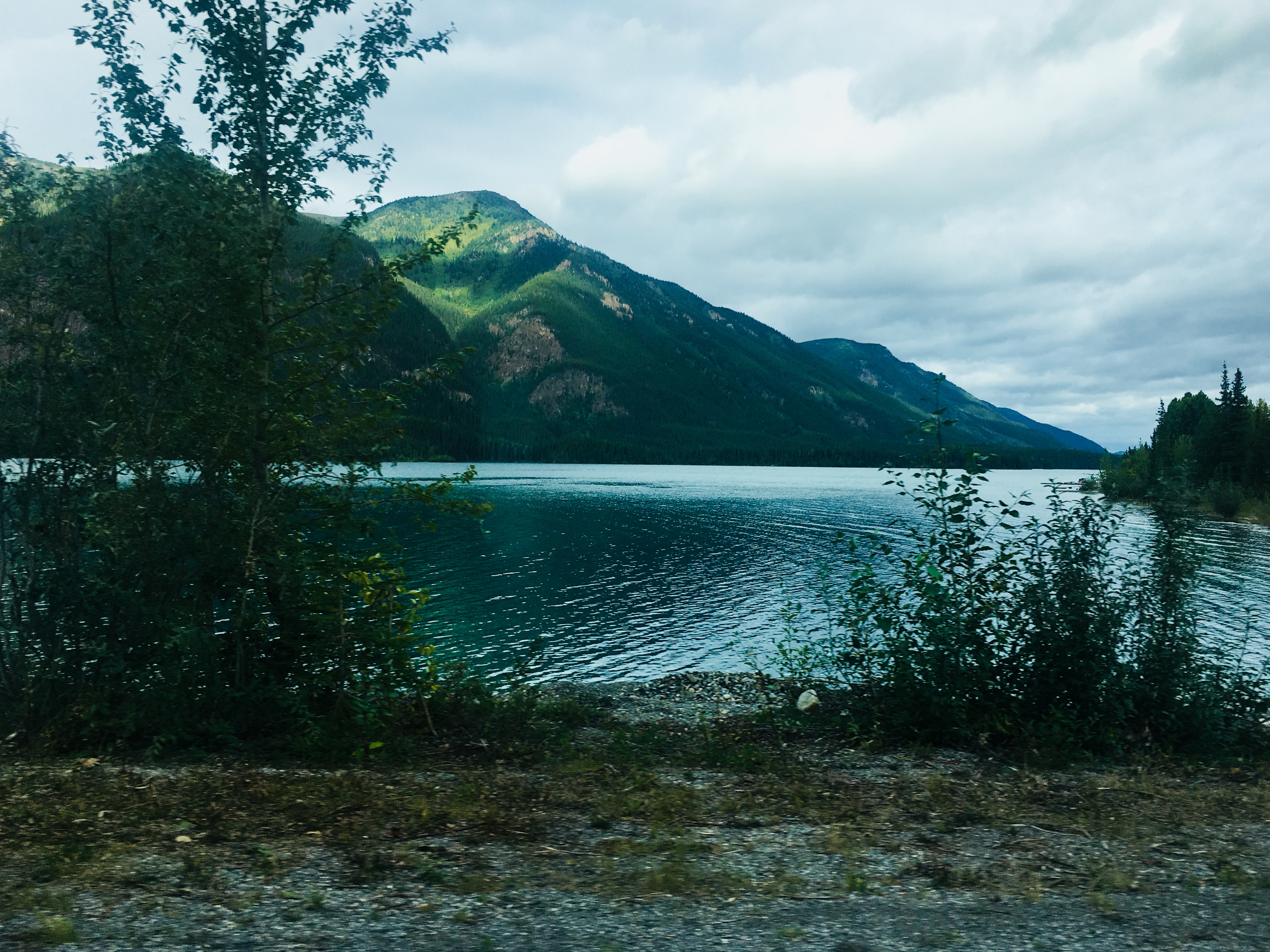
The stories from the building of the Alaska highway are incredible. Some of the details are pretty basic: it was originally intended for military transport in case of an invasion of Alaska during WWII, the road was finished (to a degree) in 1942 after 8 months of construction, something like 100,000 Army troops were deployed to build it, etc. It’s the little stories that are the most intriguing. One of those is Muncho Lake. Muncho is a glacial lake with steep rock slopes coming down from the mountains straight into the water. So building the road around the lake required carving a shelf all the way around the 7 1/2 mile length of the lake.
Driving around the lake today makes it apparent just how daunting the challenge must have been. The road is winding and narrow, often with the water on one edge and sheer rock walls on the other. It’s also a beautiful jade green color due to the glacial silt suspended in the water.
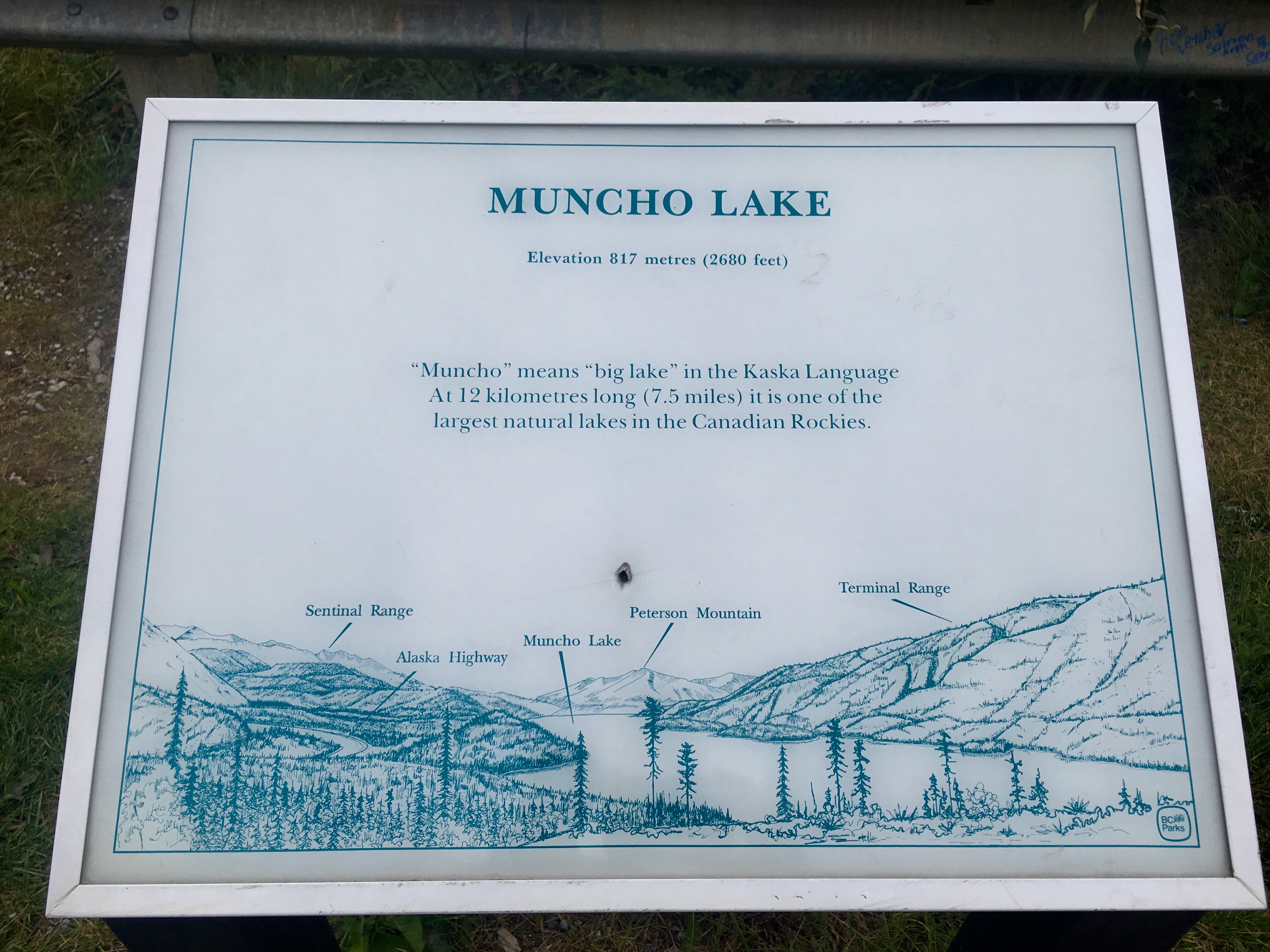
The sign showed some of the challenging spots of construction.
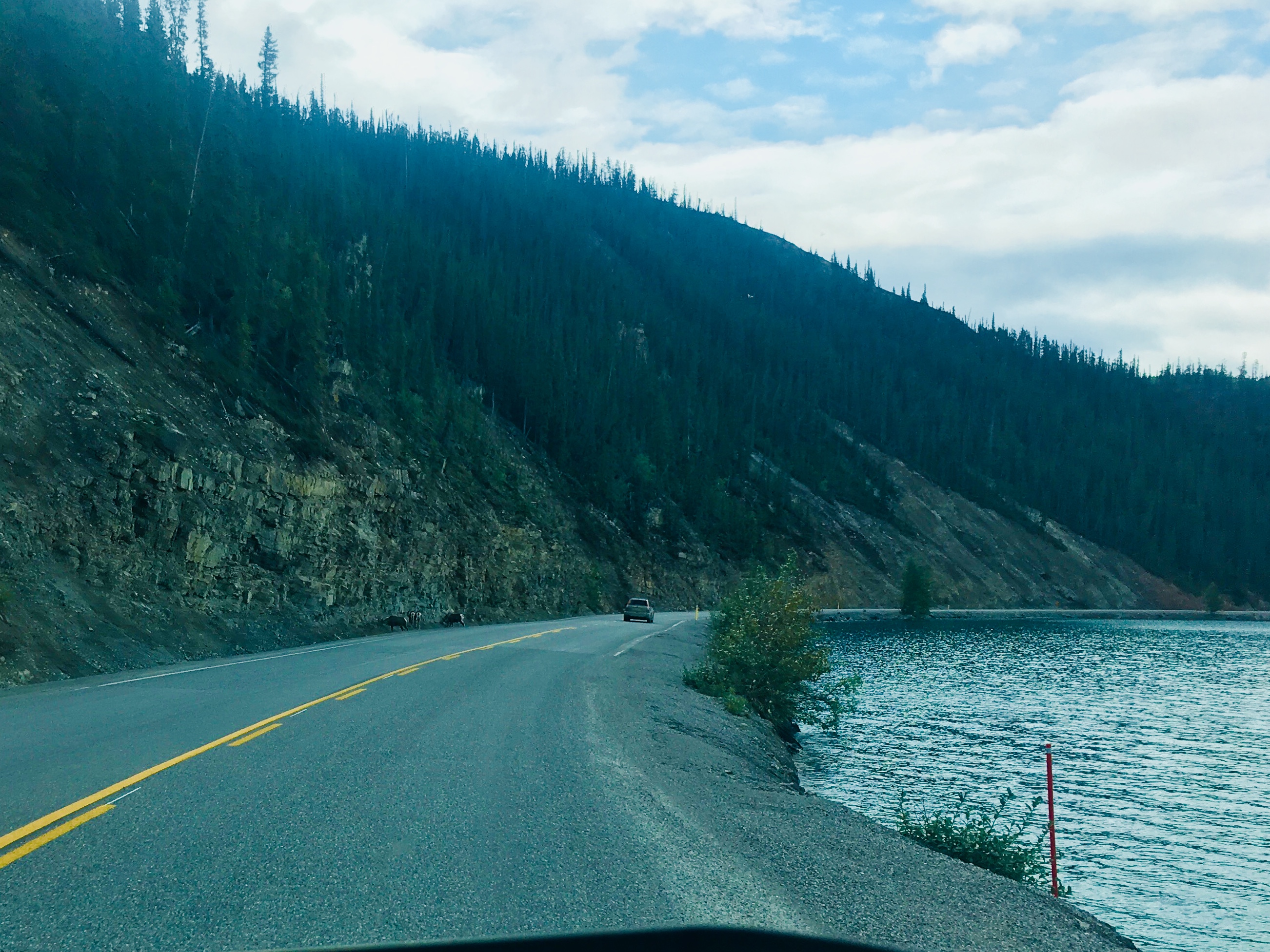
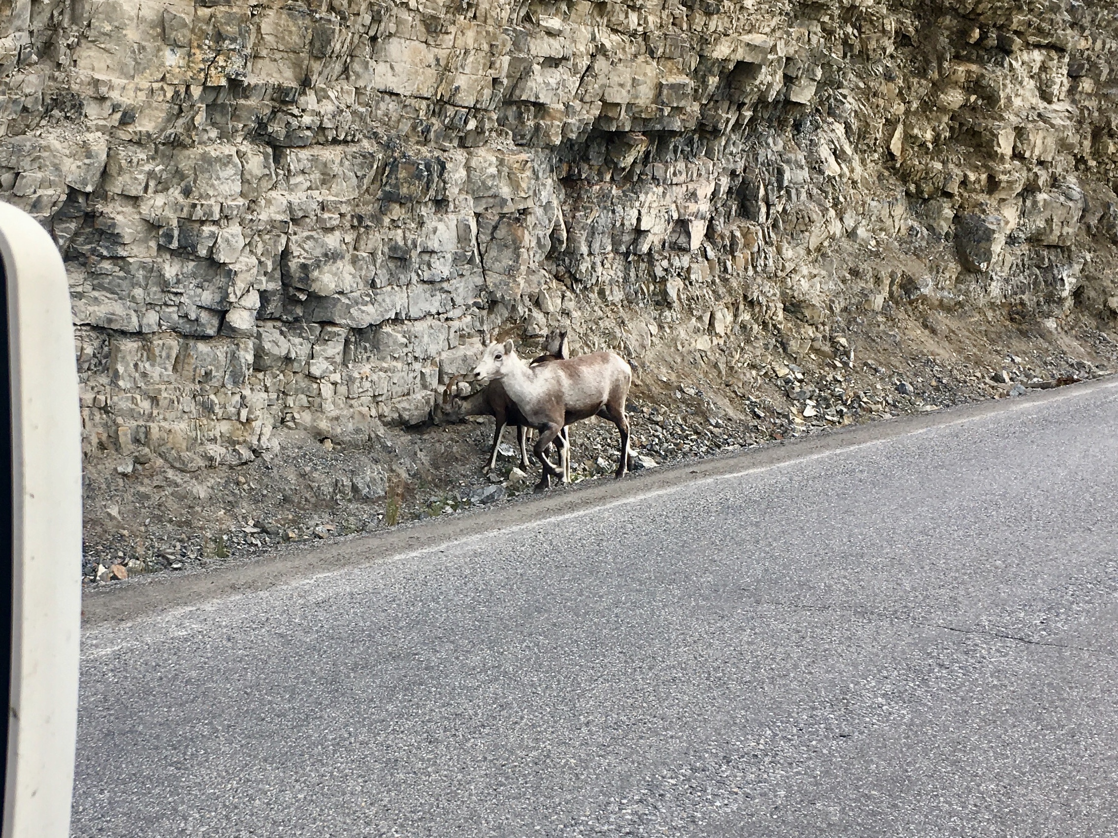
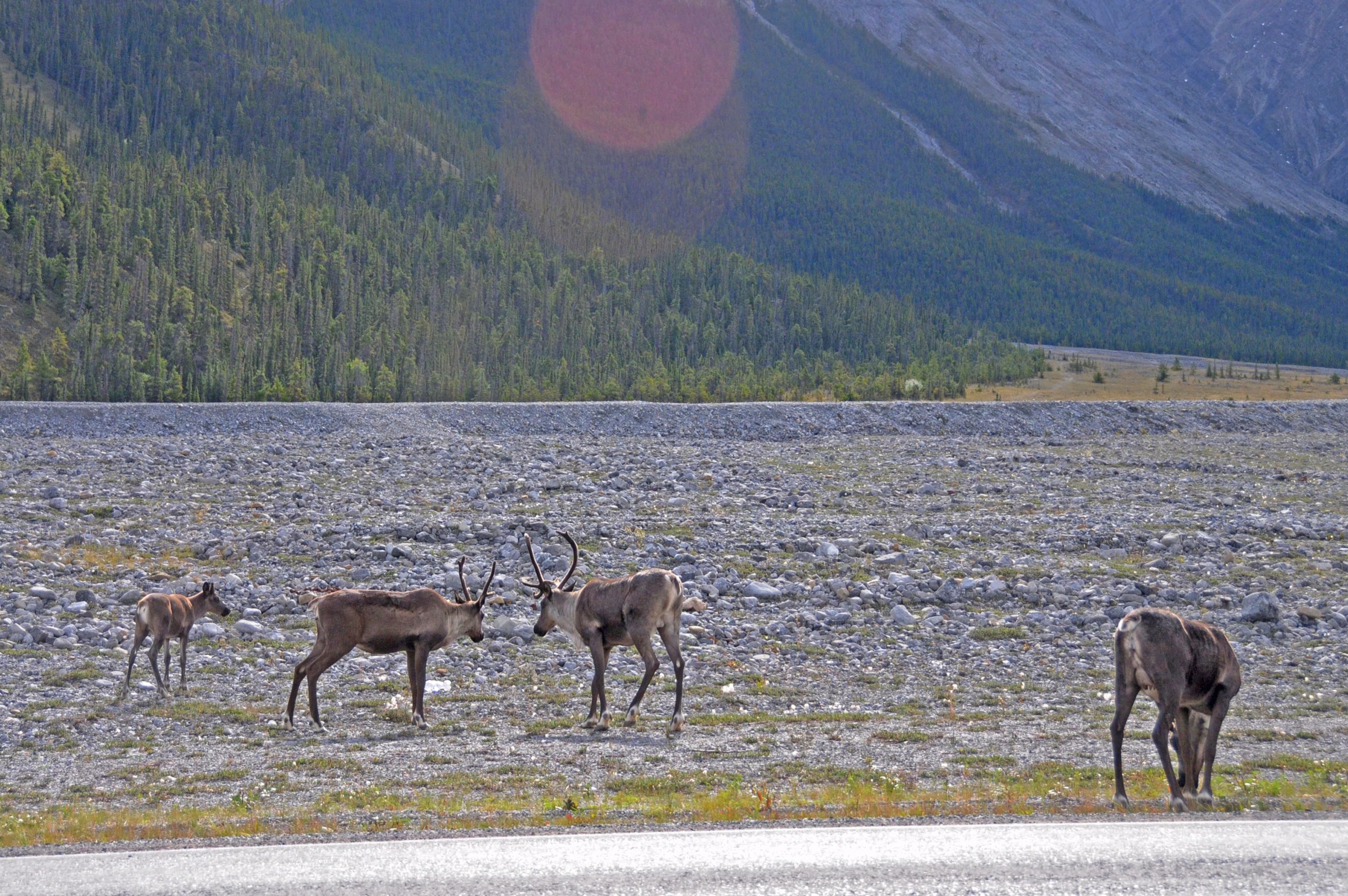
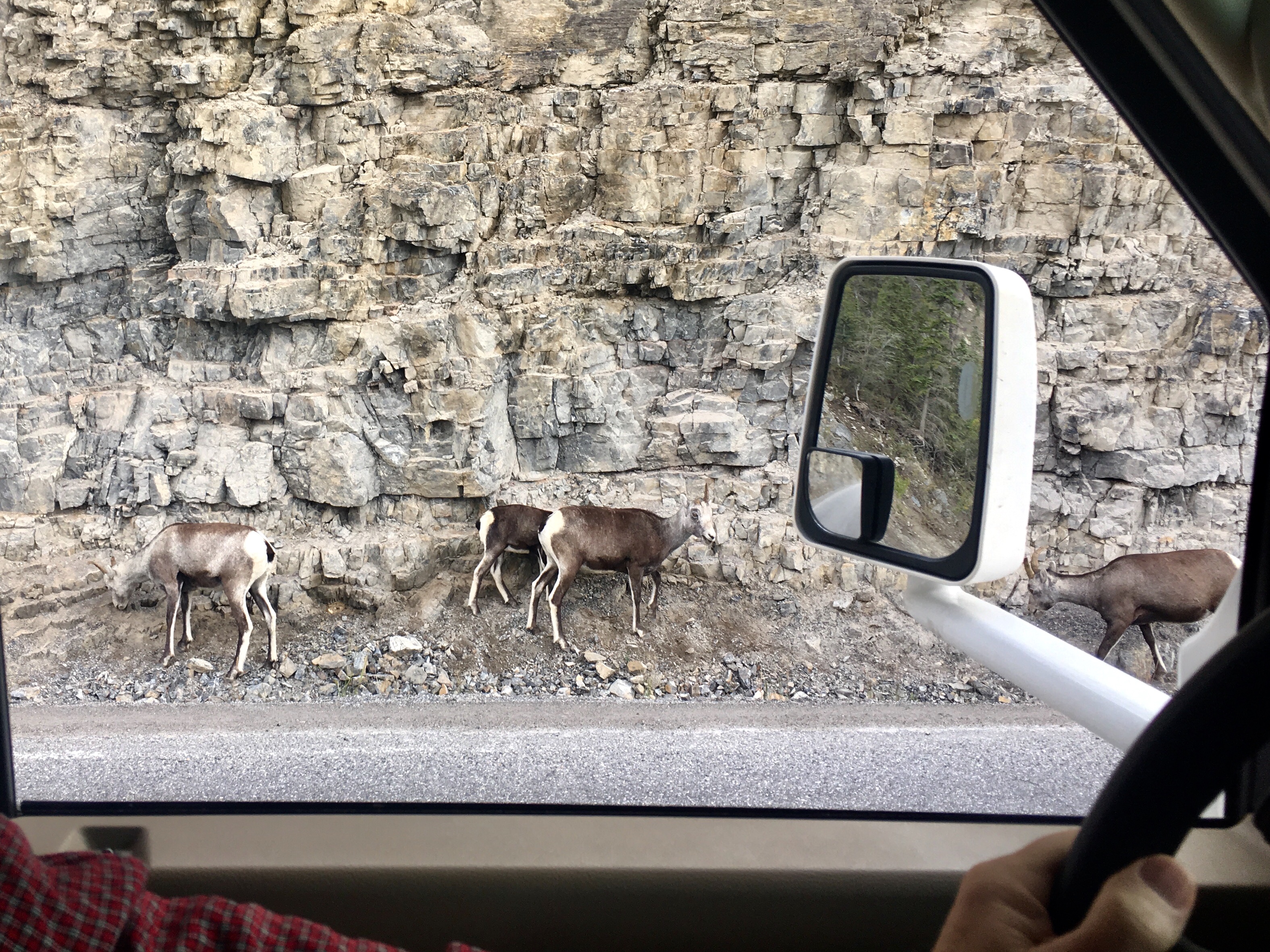
Stone sheep along the edge of the cliff. Native to western north America, primarily found in British Columbia – imagine that! It was amazing to watch them scramble around the steep rocks. Turns out they are typically licking the rocks to get minerals for their diets.
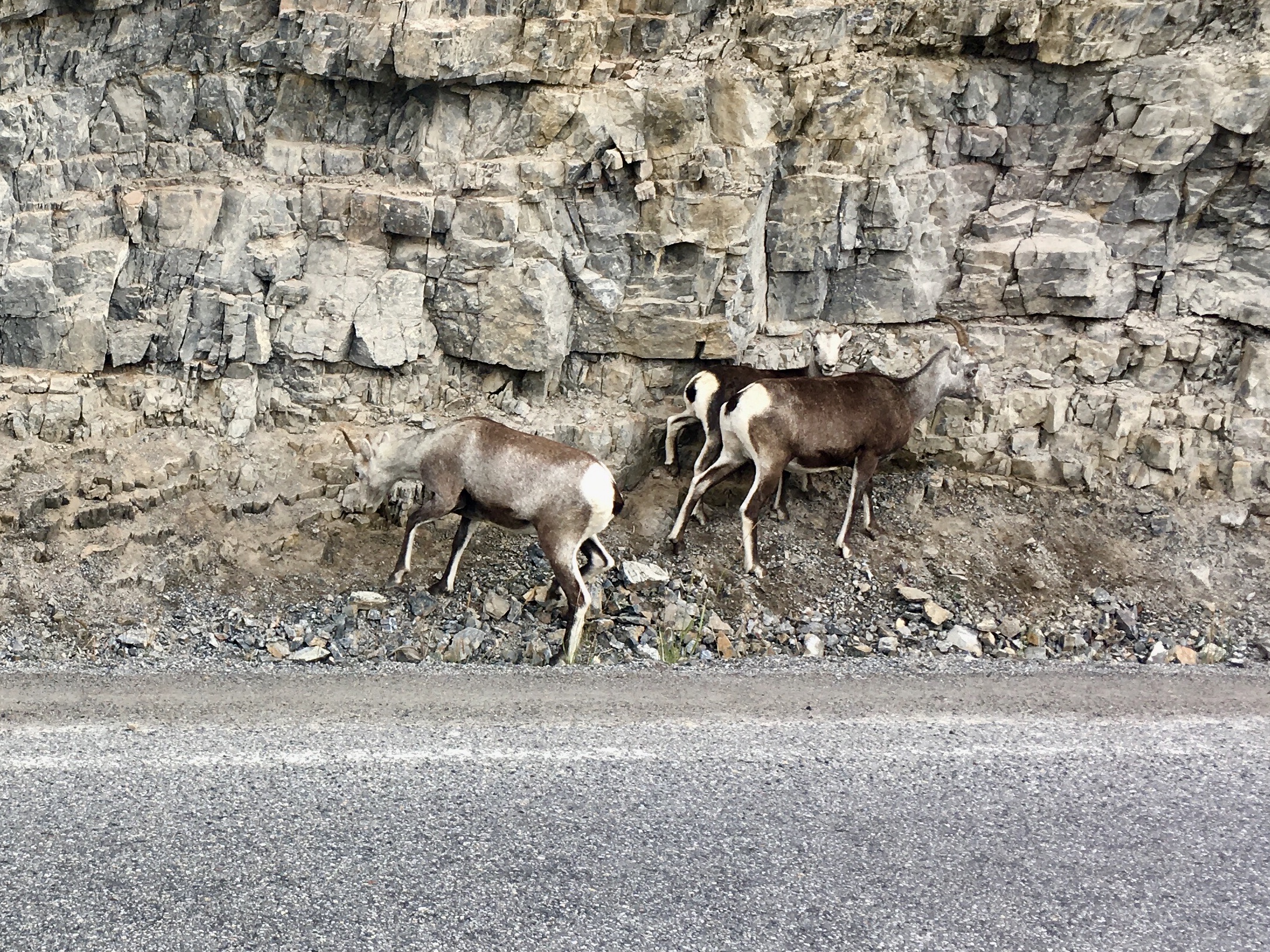
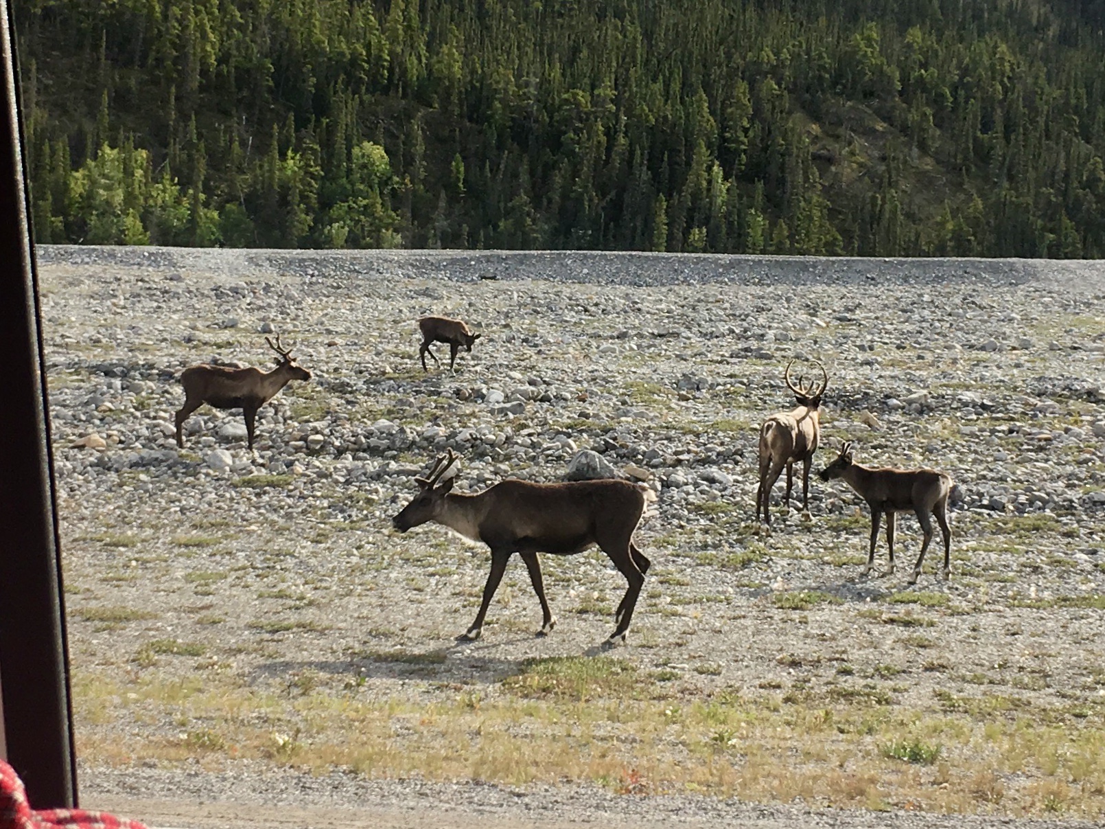
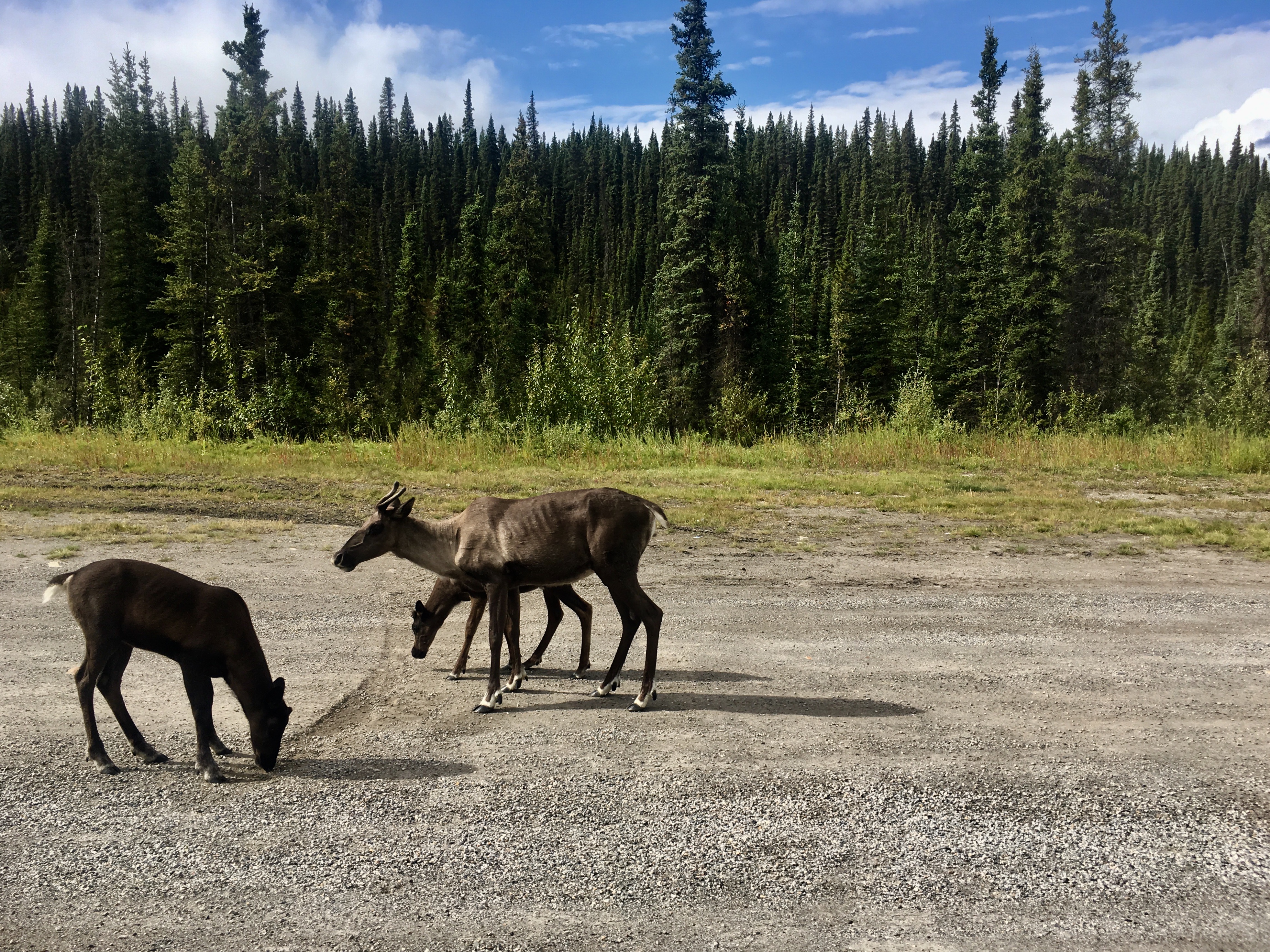
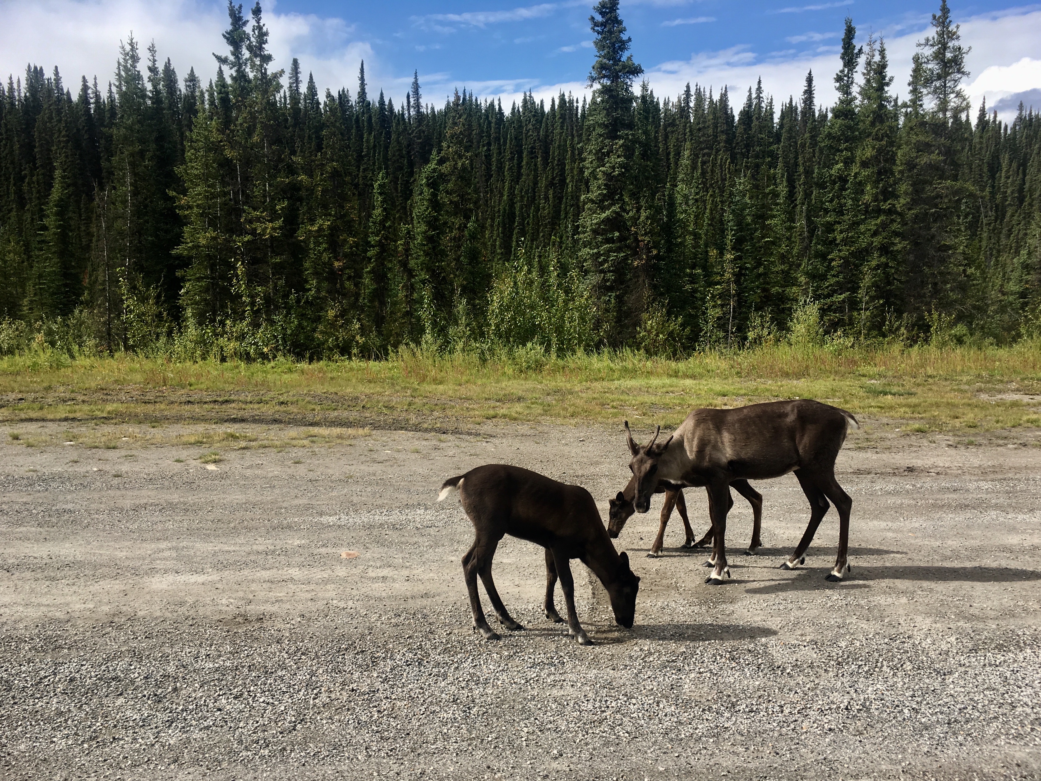
More wildlife – seems like they came in herds along this stretch!
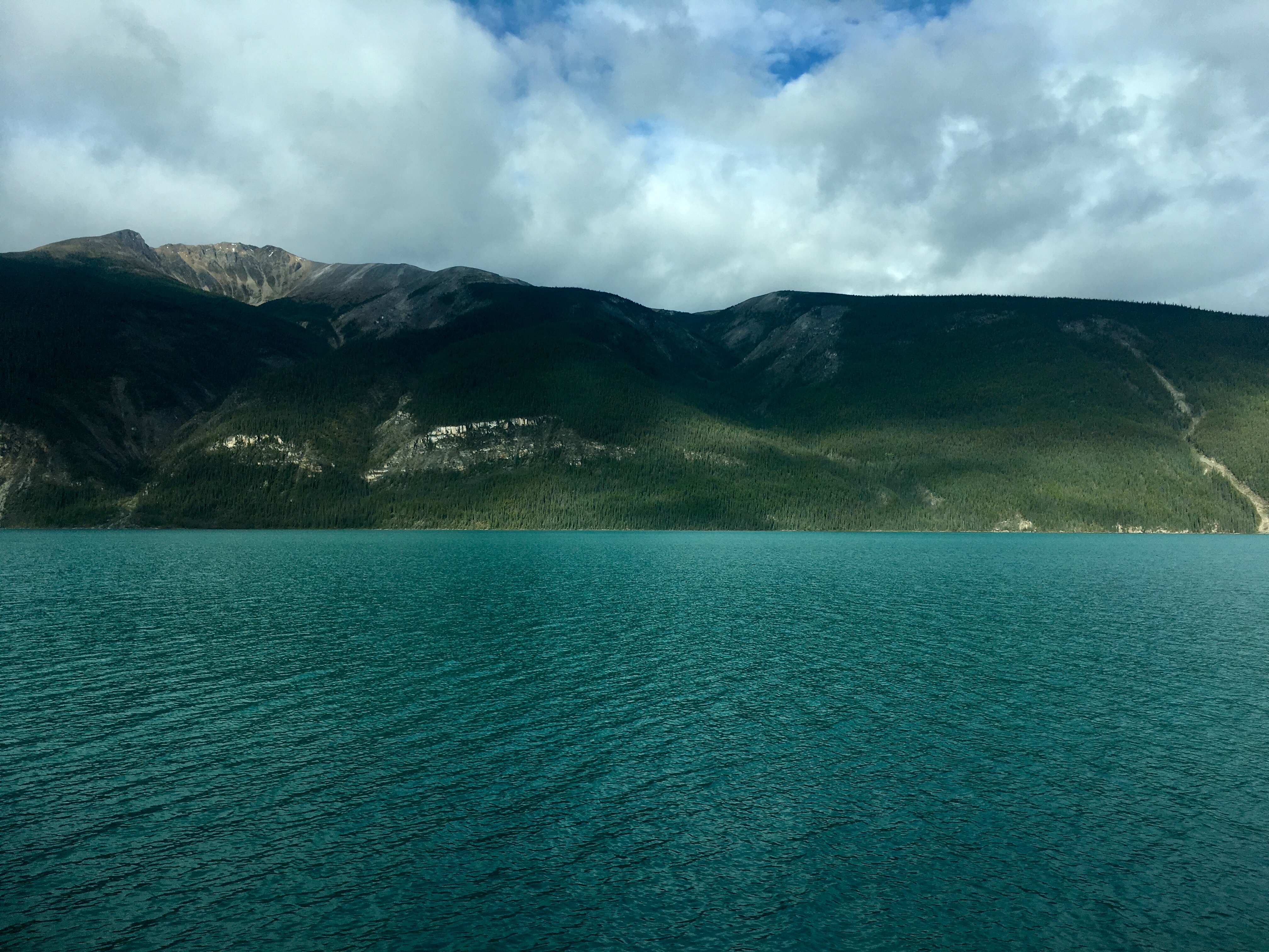
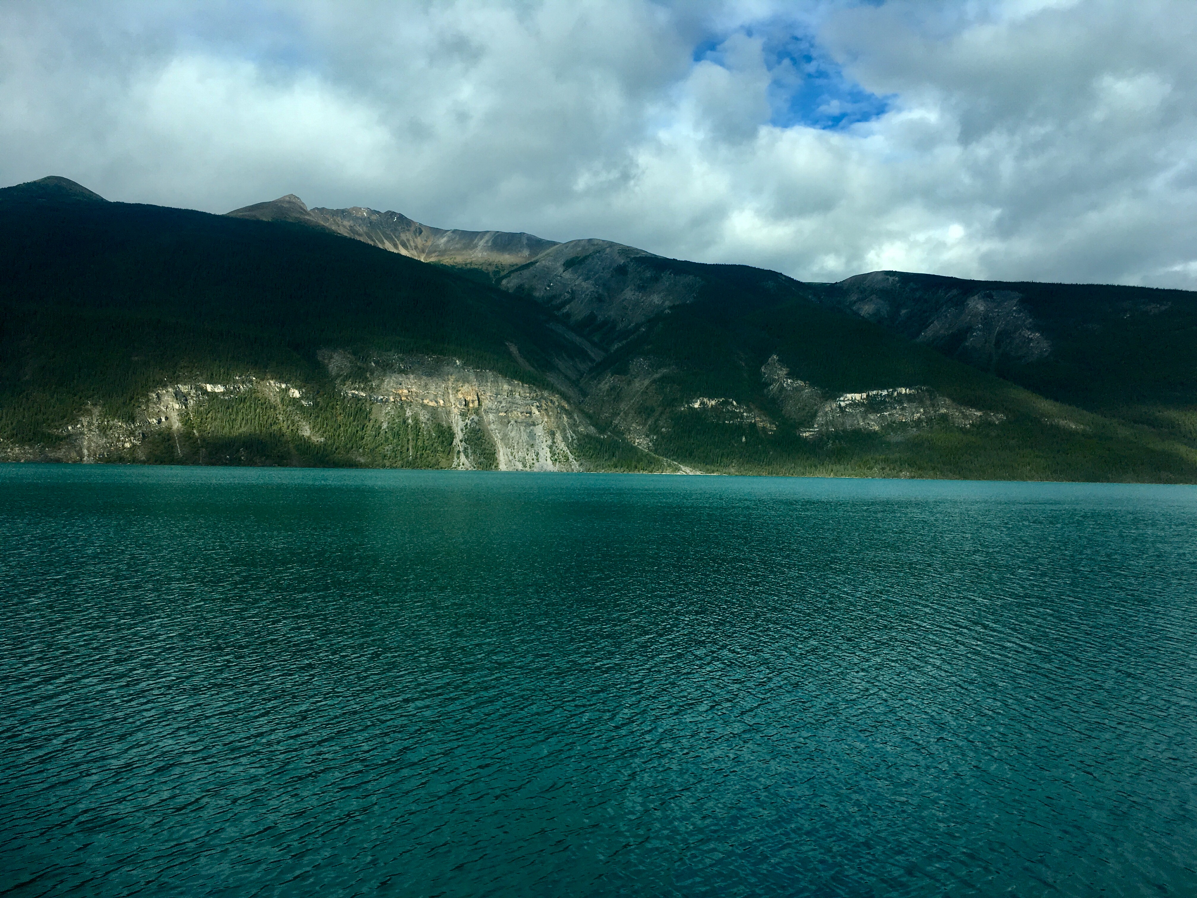
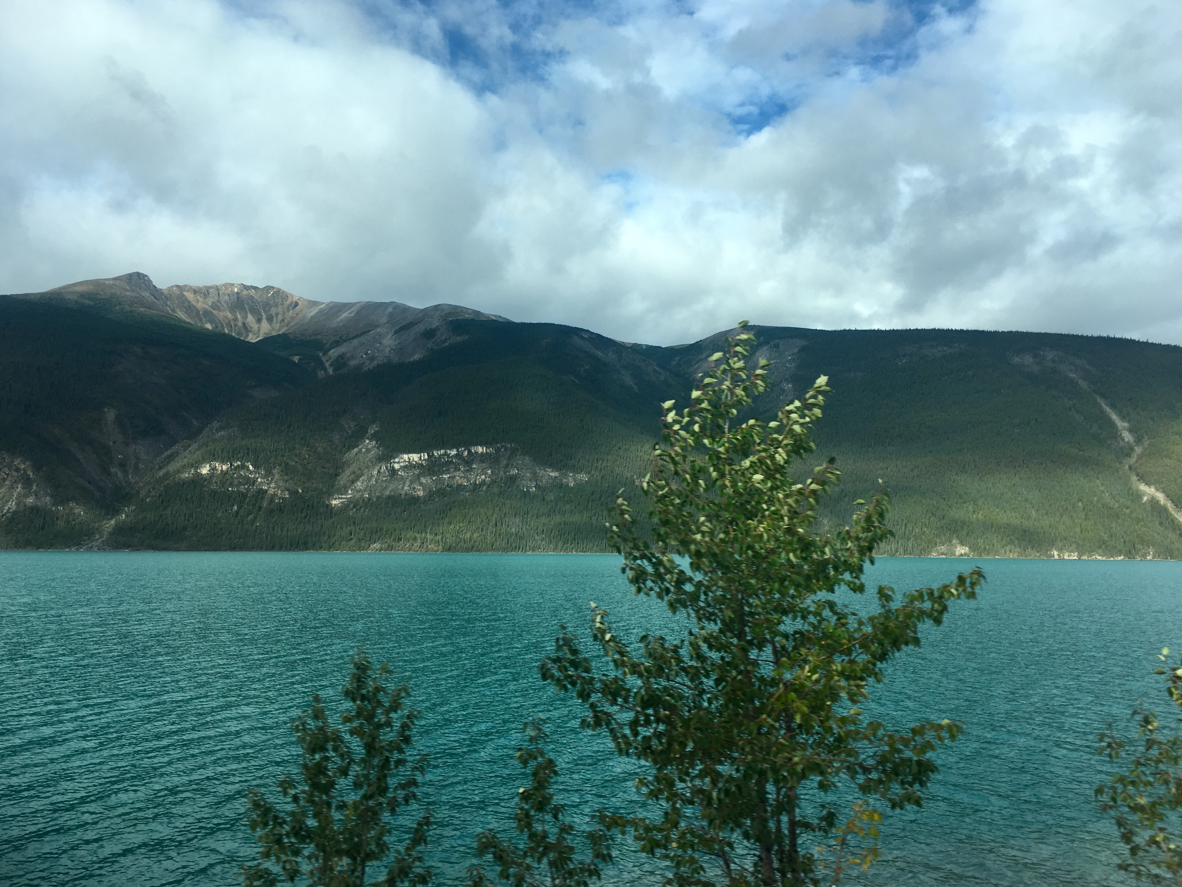
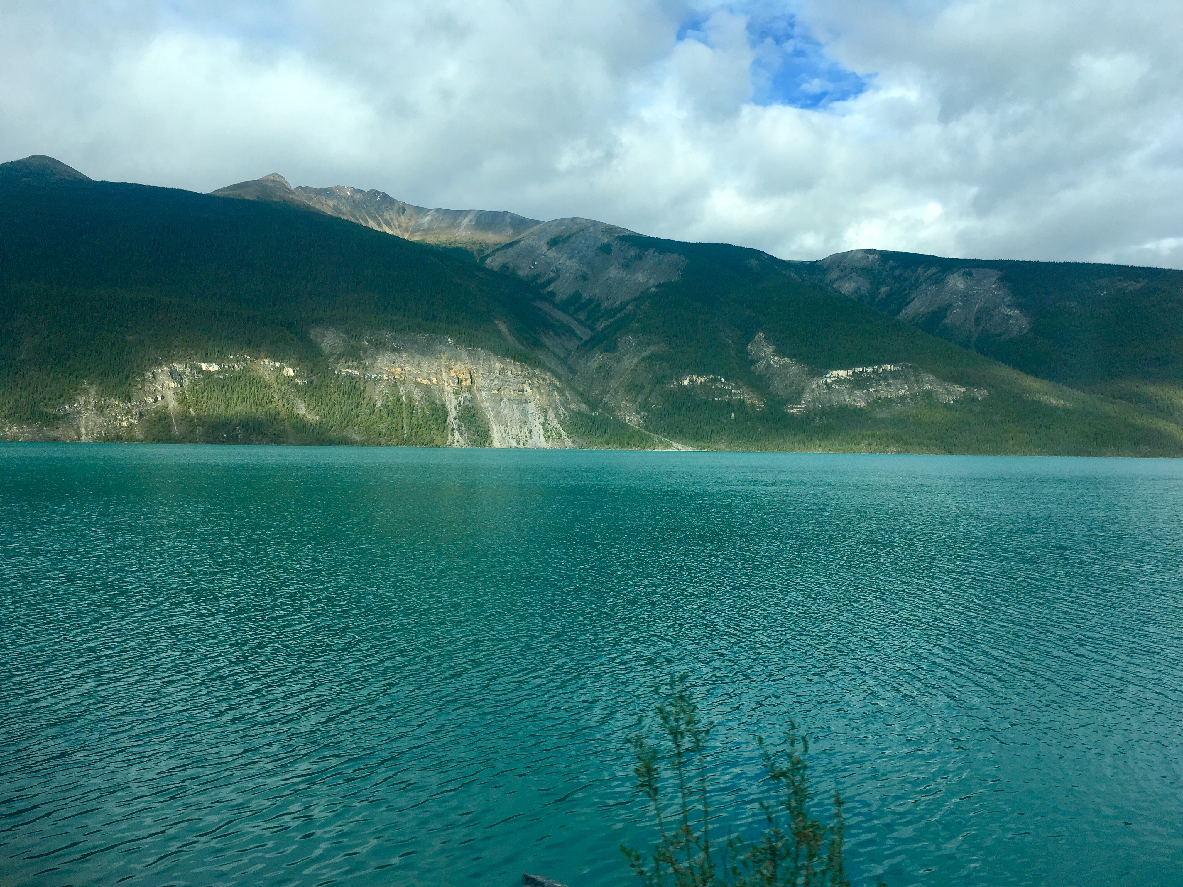
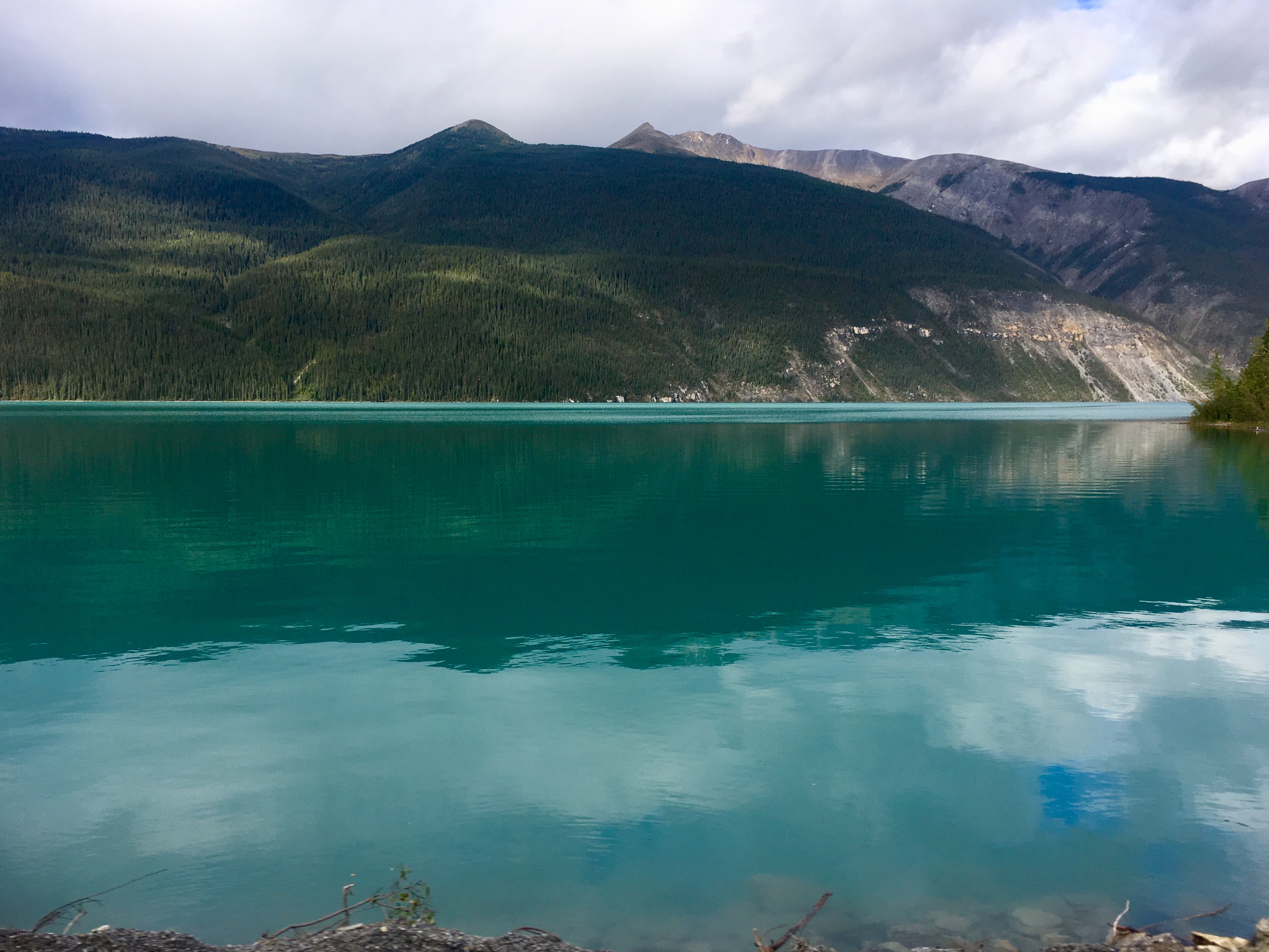
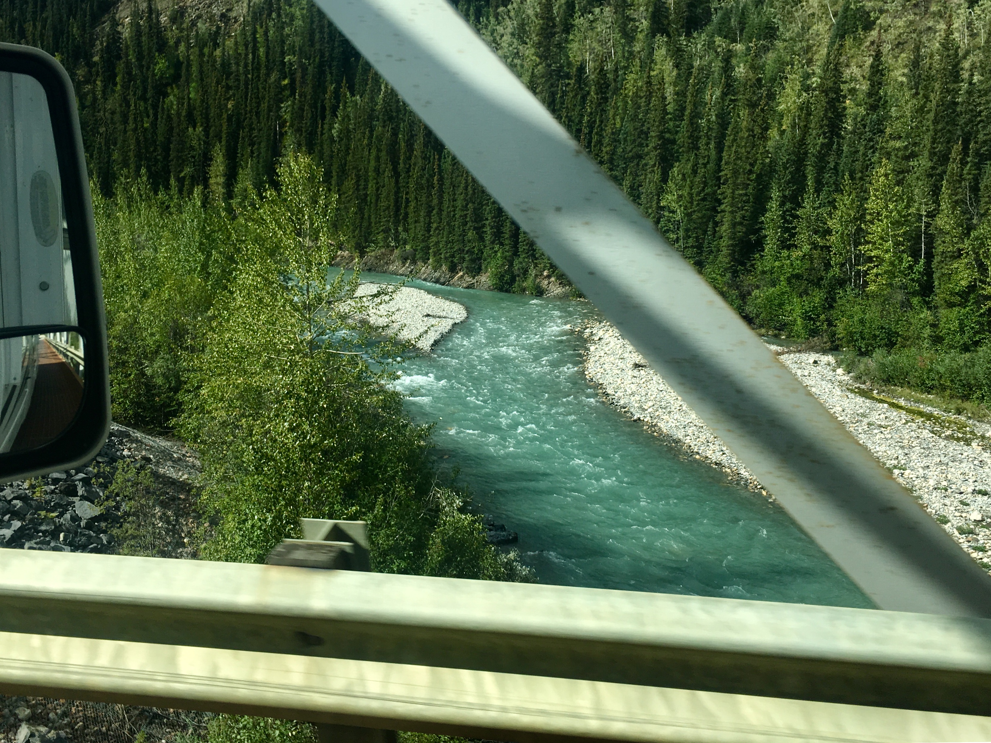
The jade color really stood out. Turns out the color is a result of the wavelengths of light that are either absorbed or reflected. The green is what gets reflected back off the water.
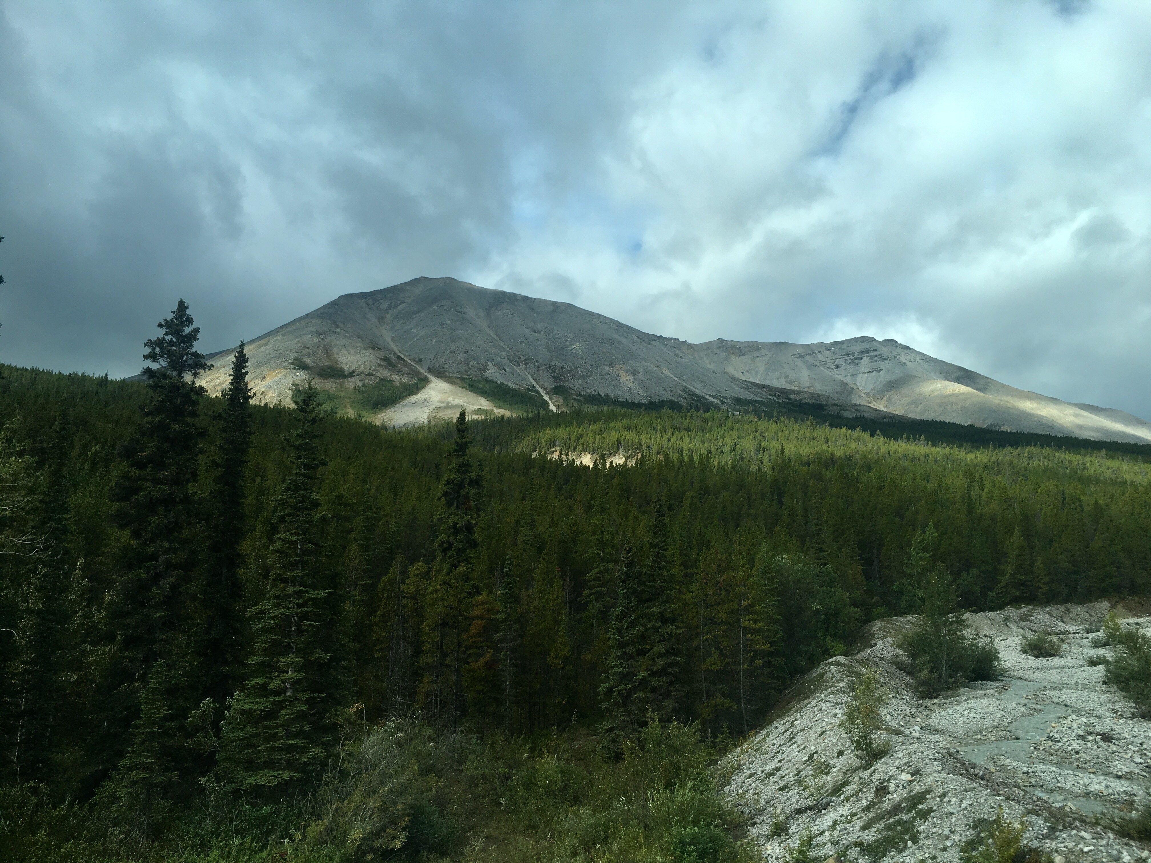

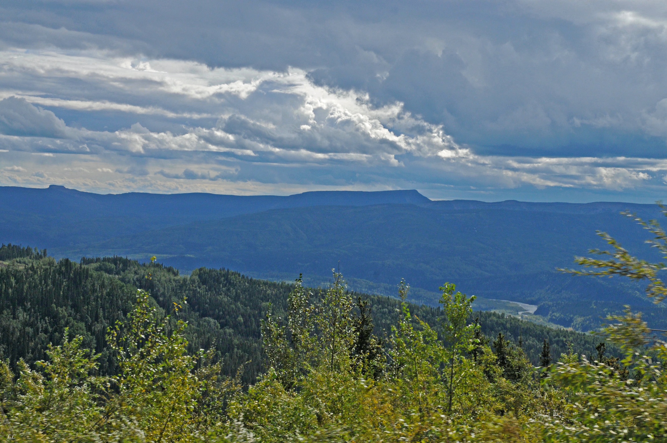
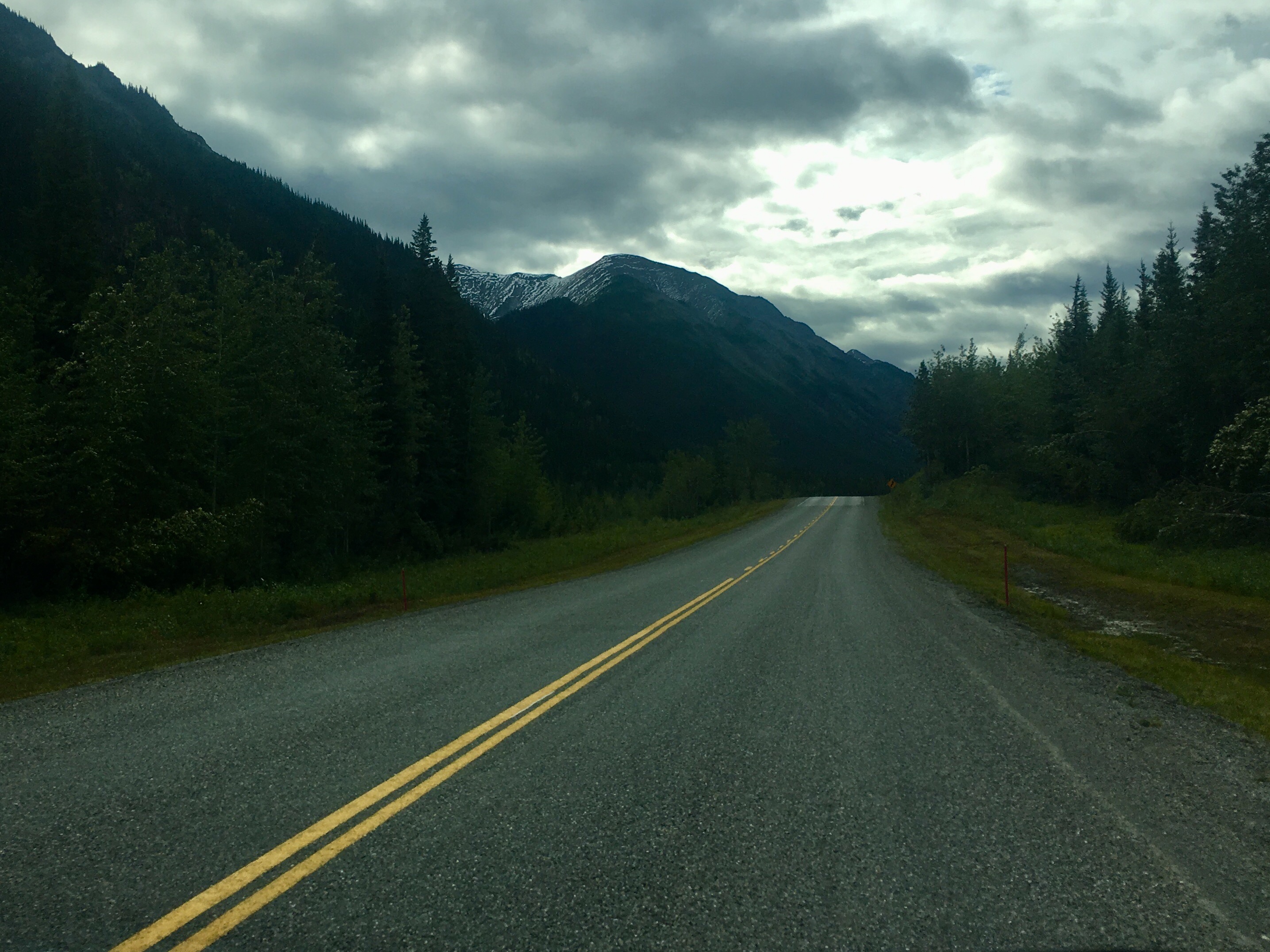
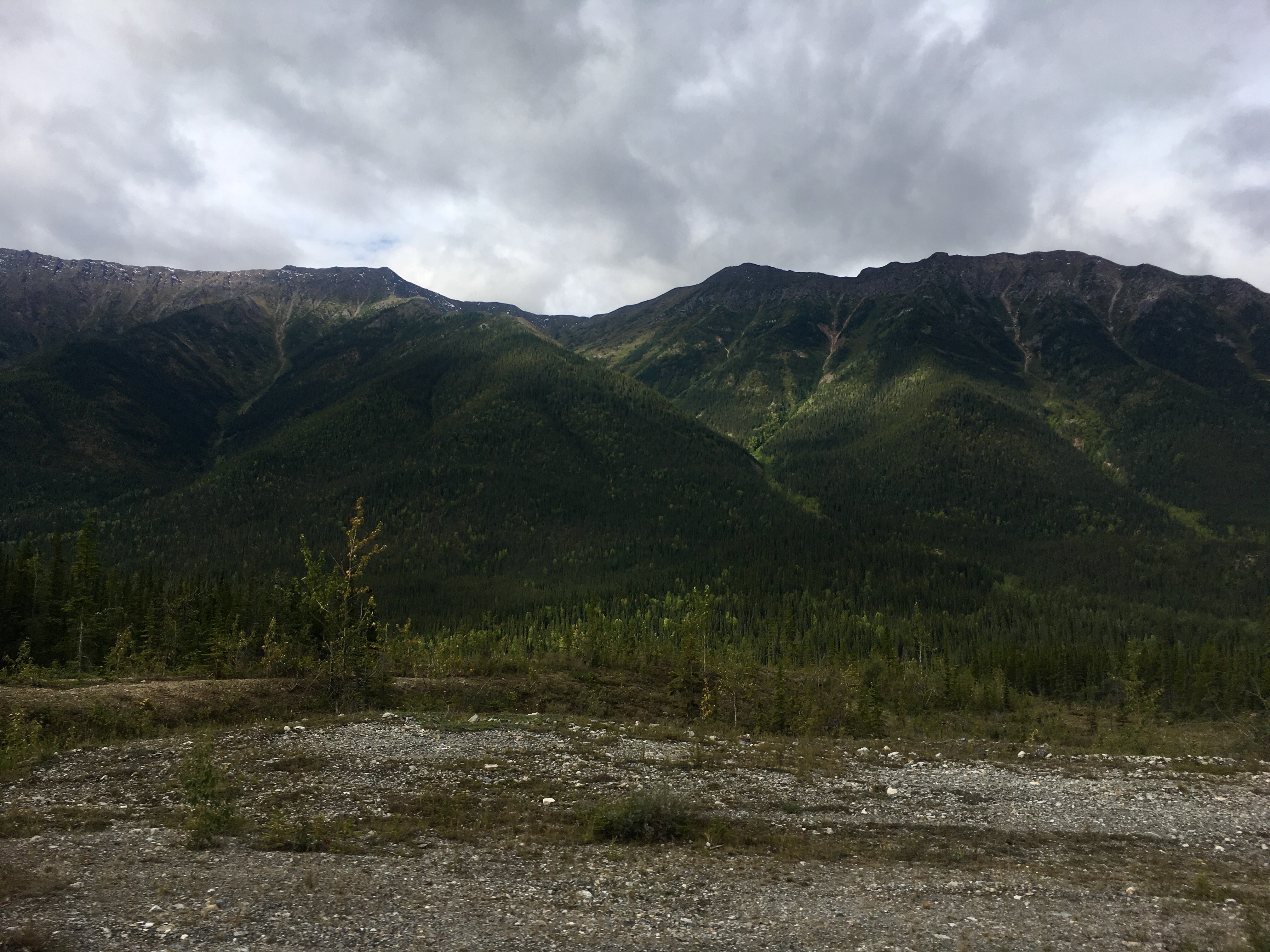
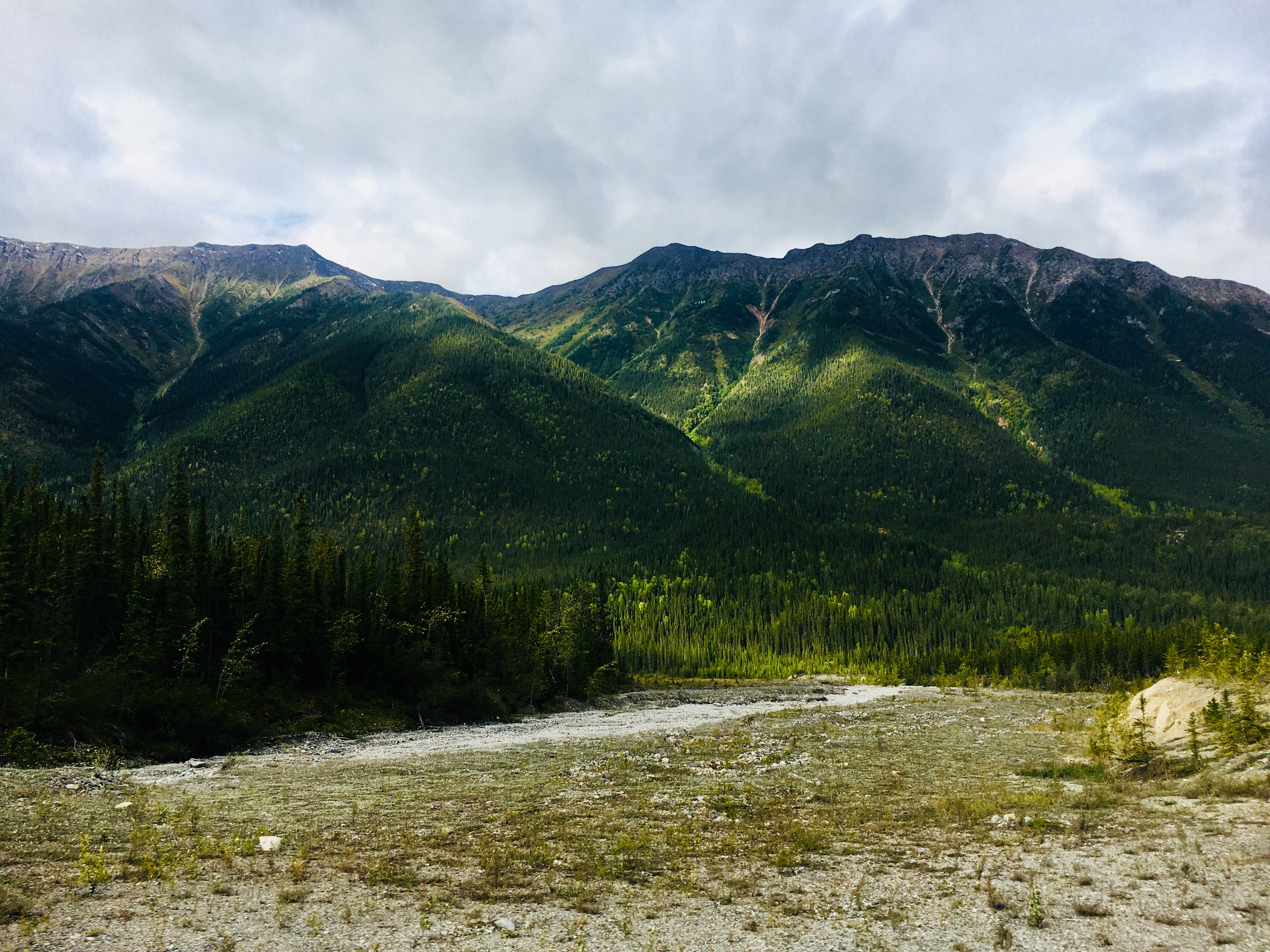
Leaving Muncho Lake and entering Stone Mountain Provincial Park in the northern Rockies of British Columbia.
Some of the drops were quite impressive. Best not to look down while driving!

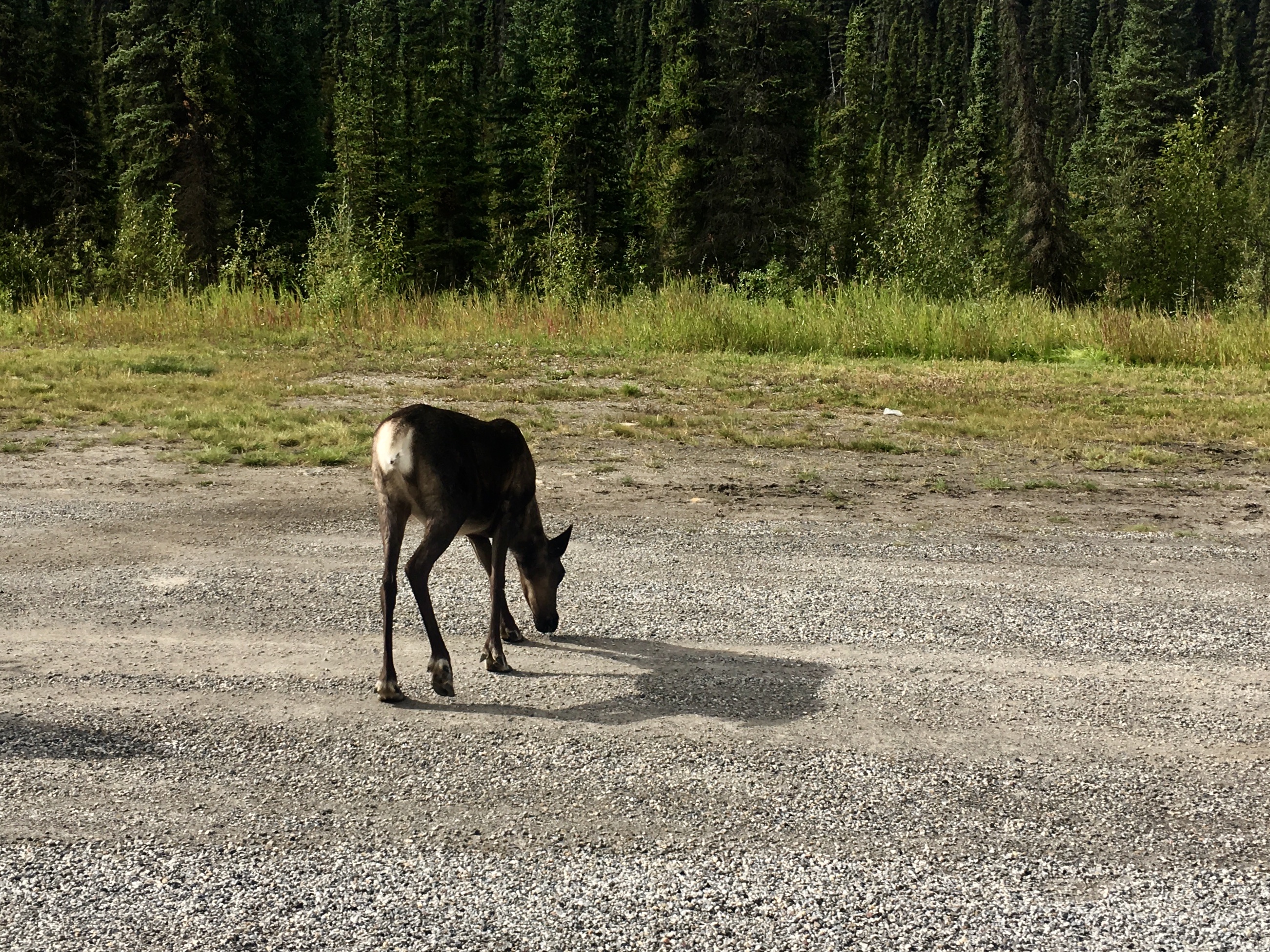
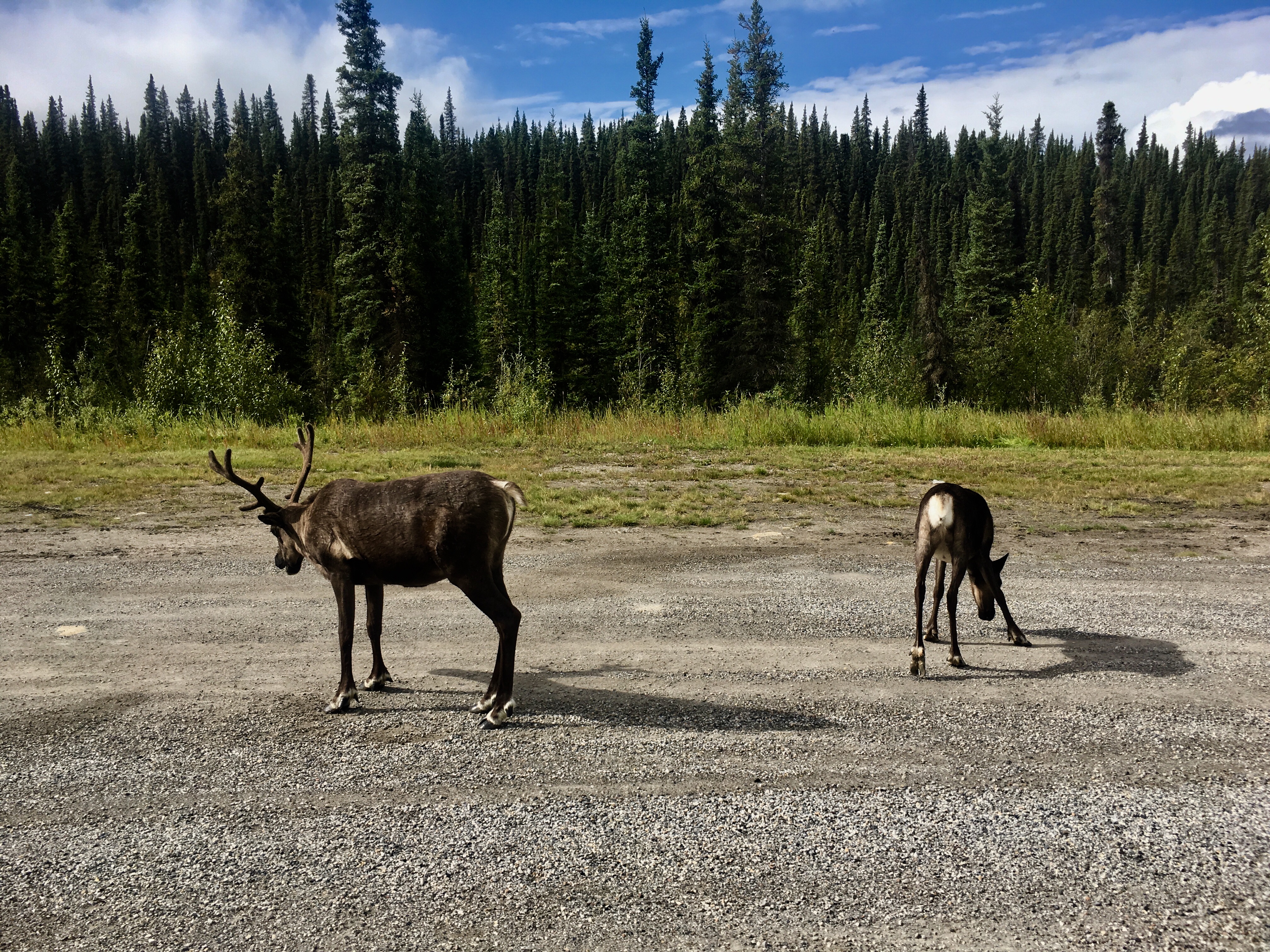
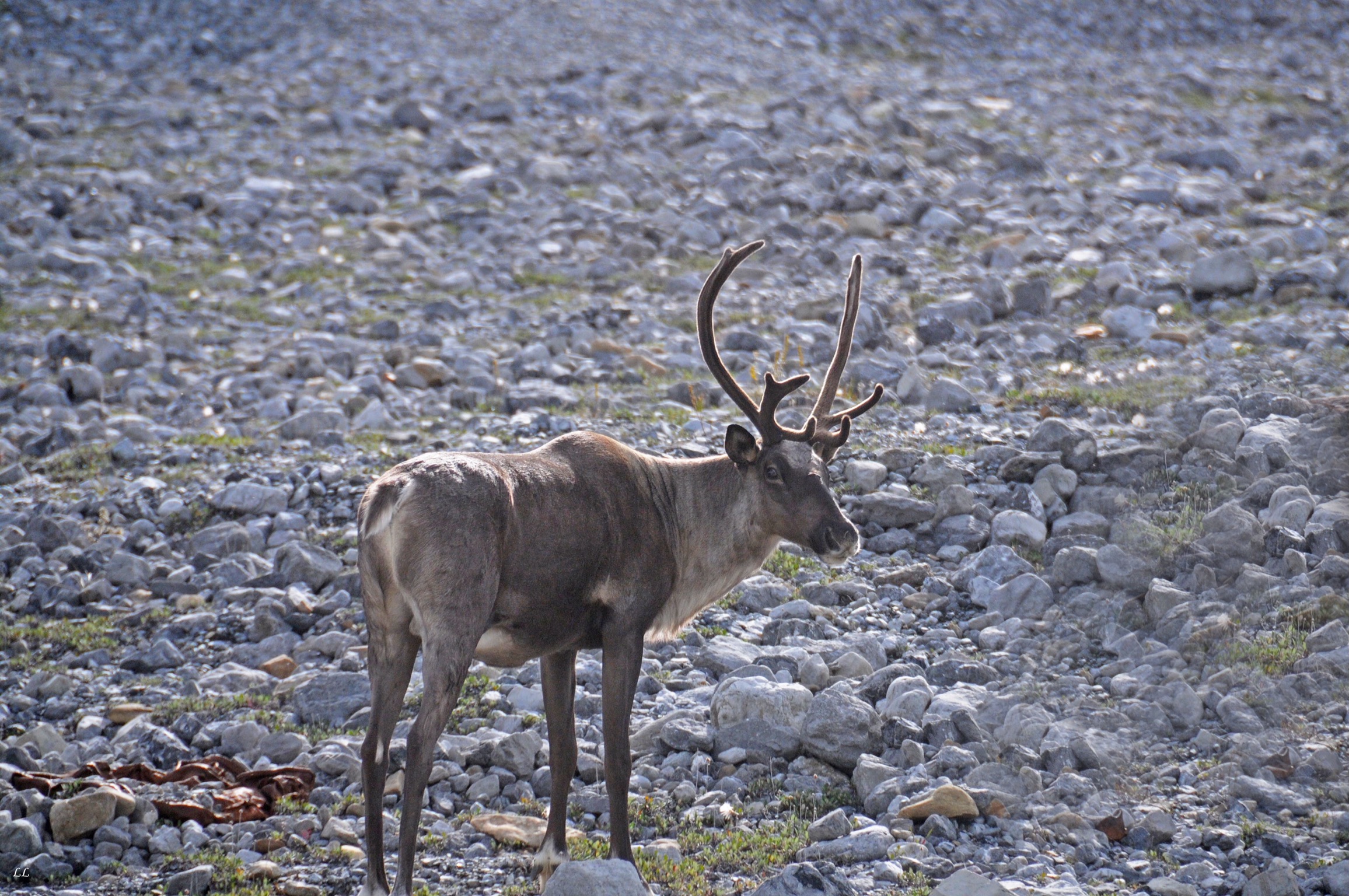
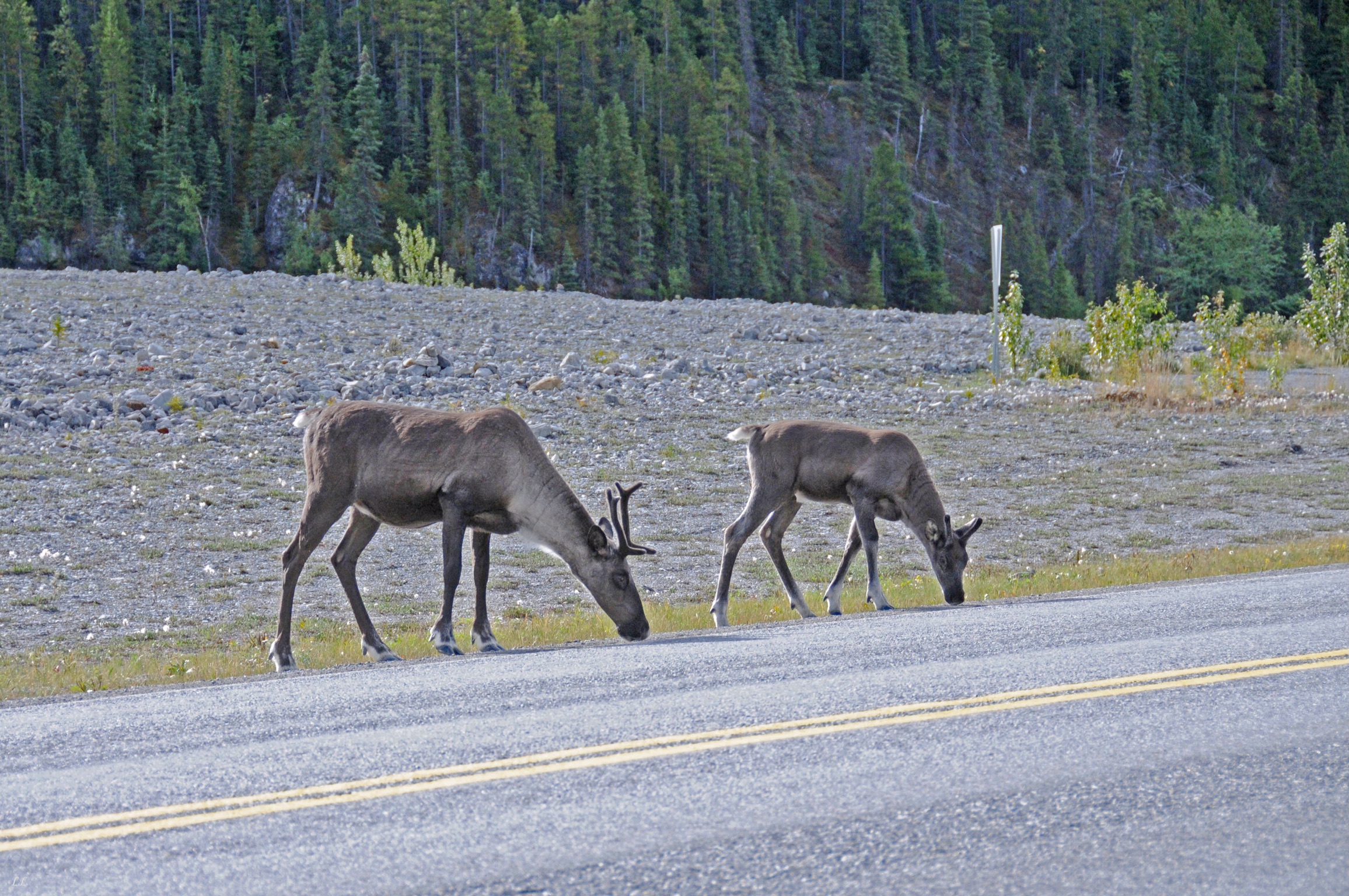
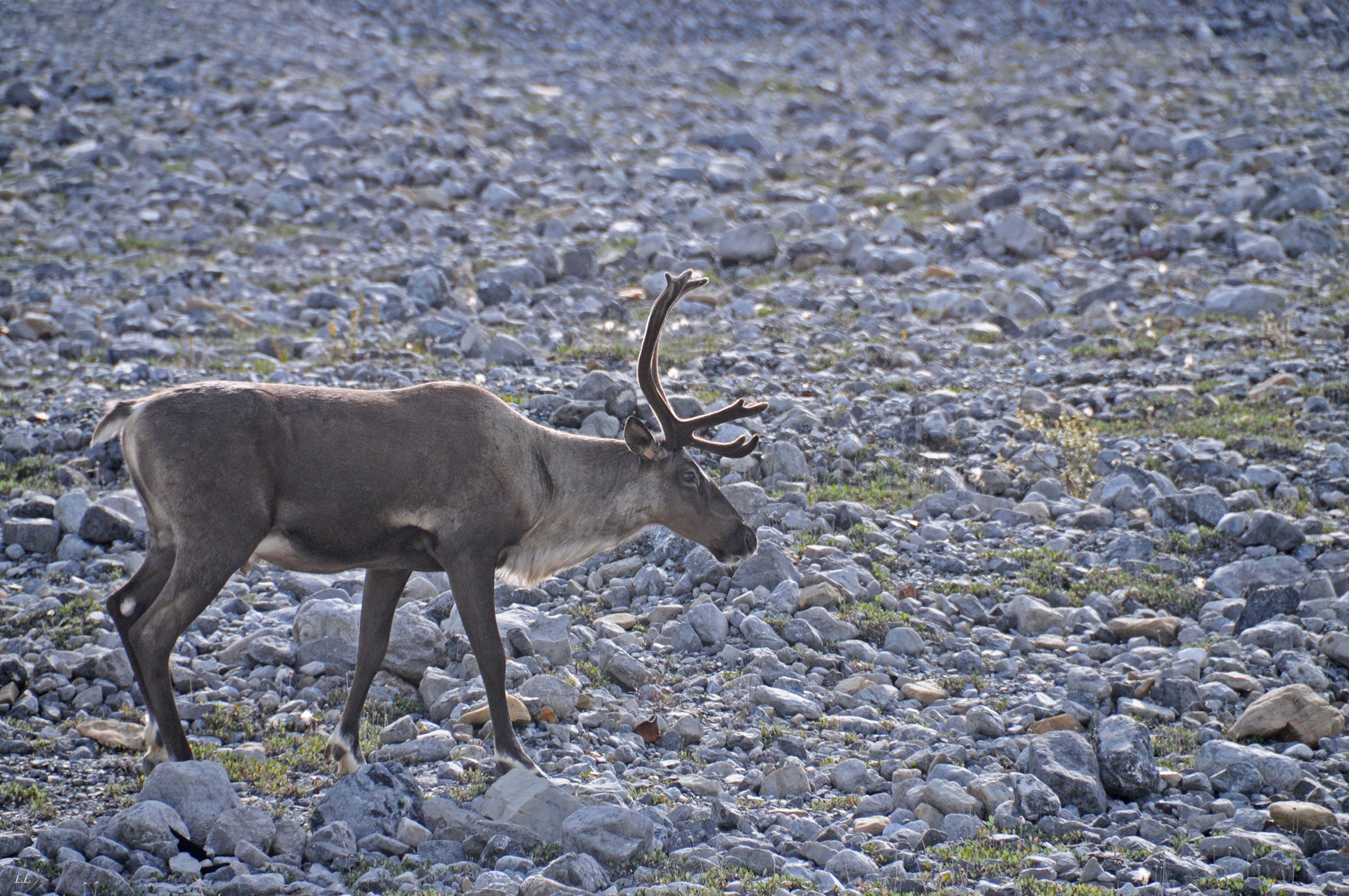
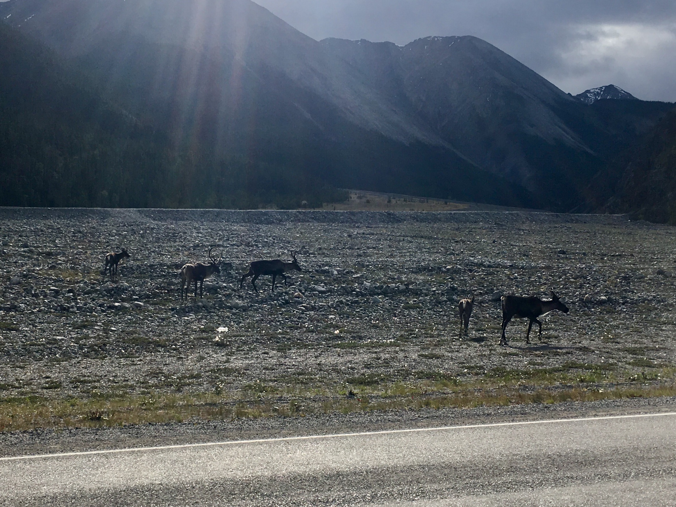
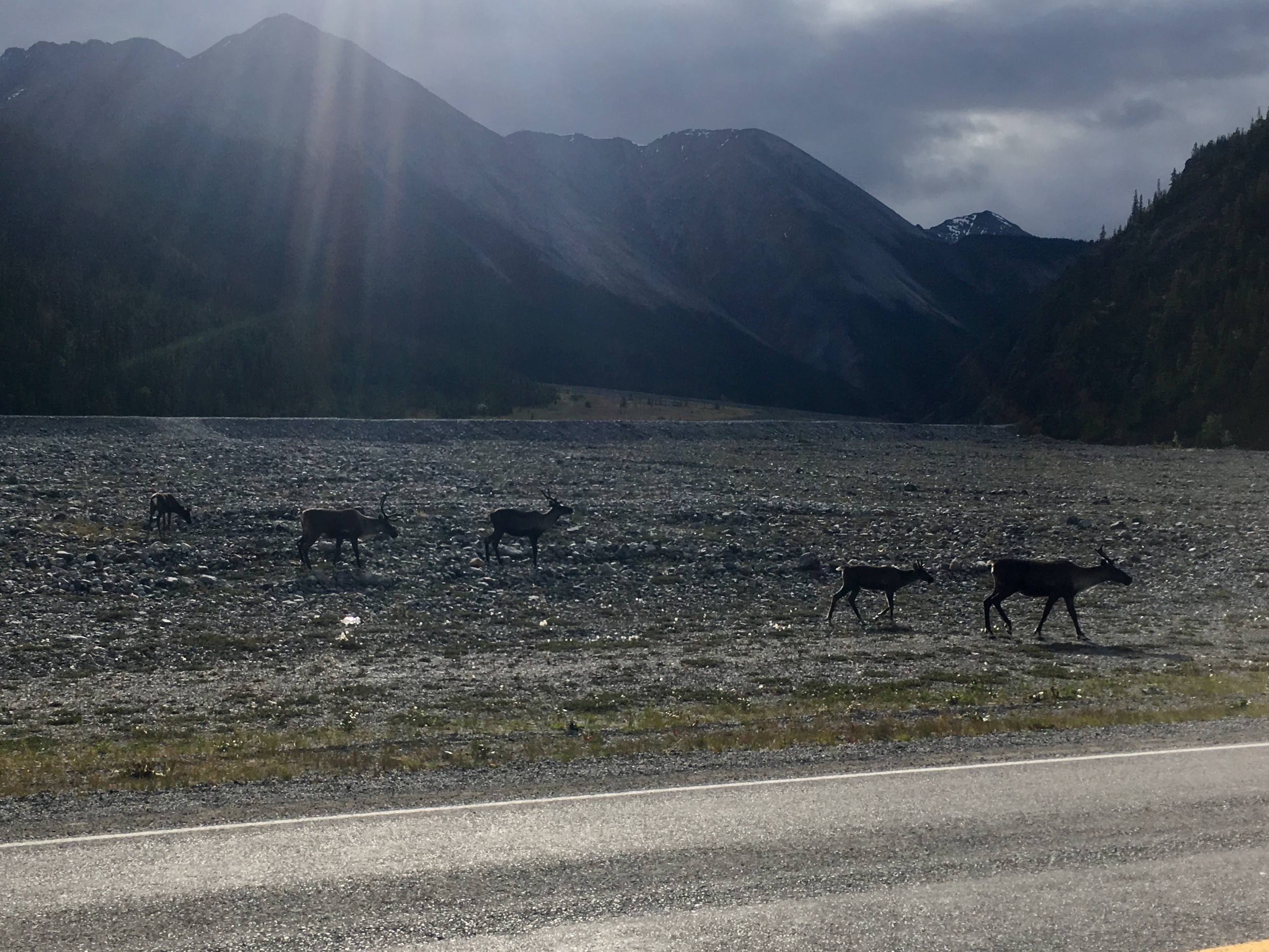
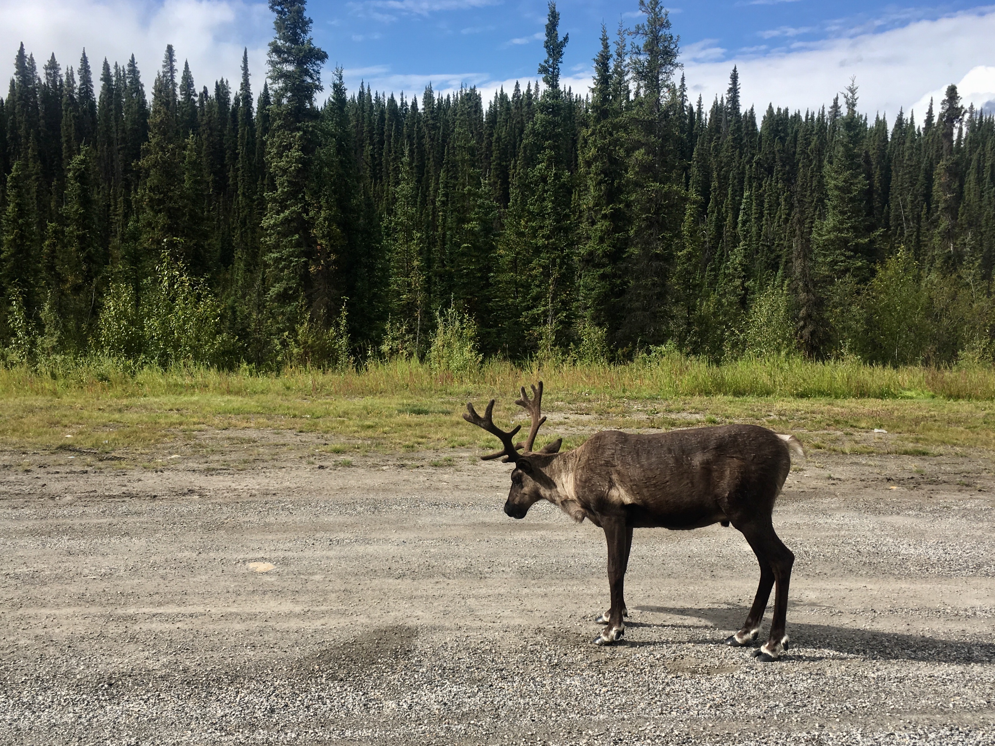
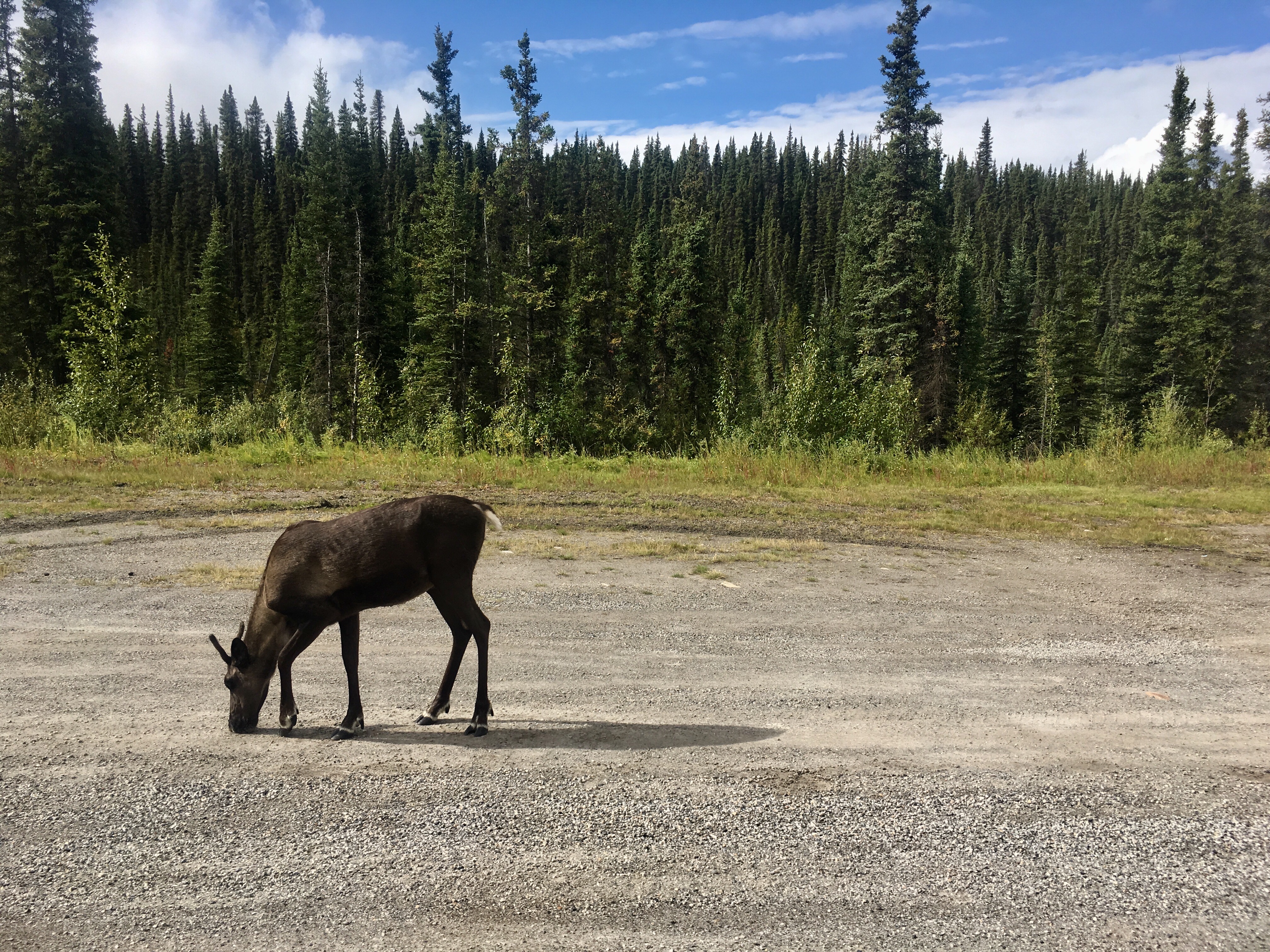
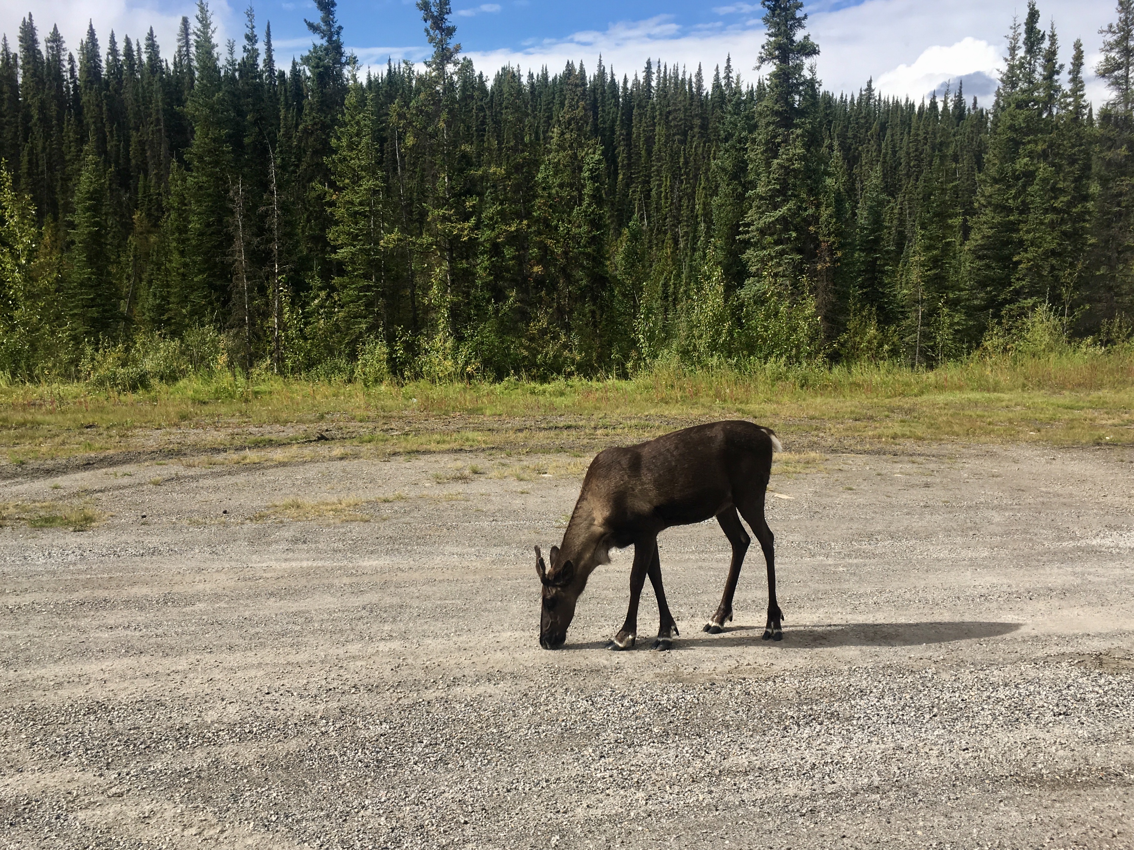
Caribou
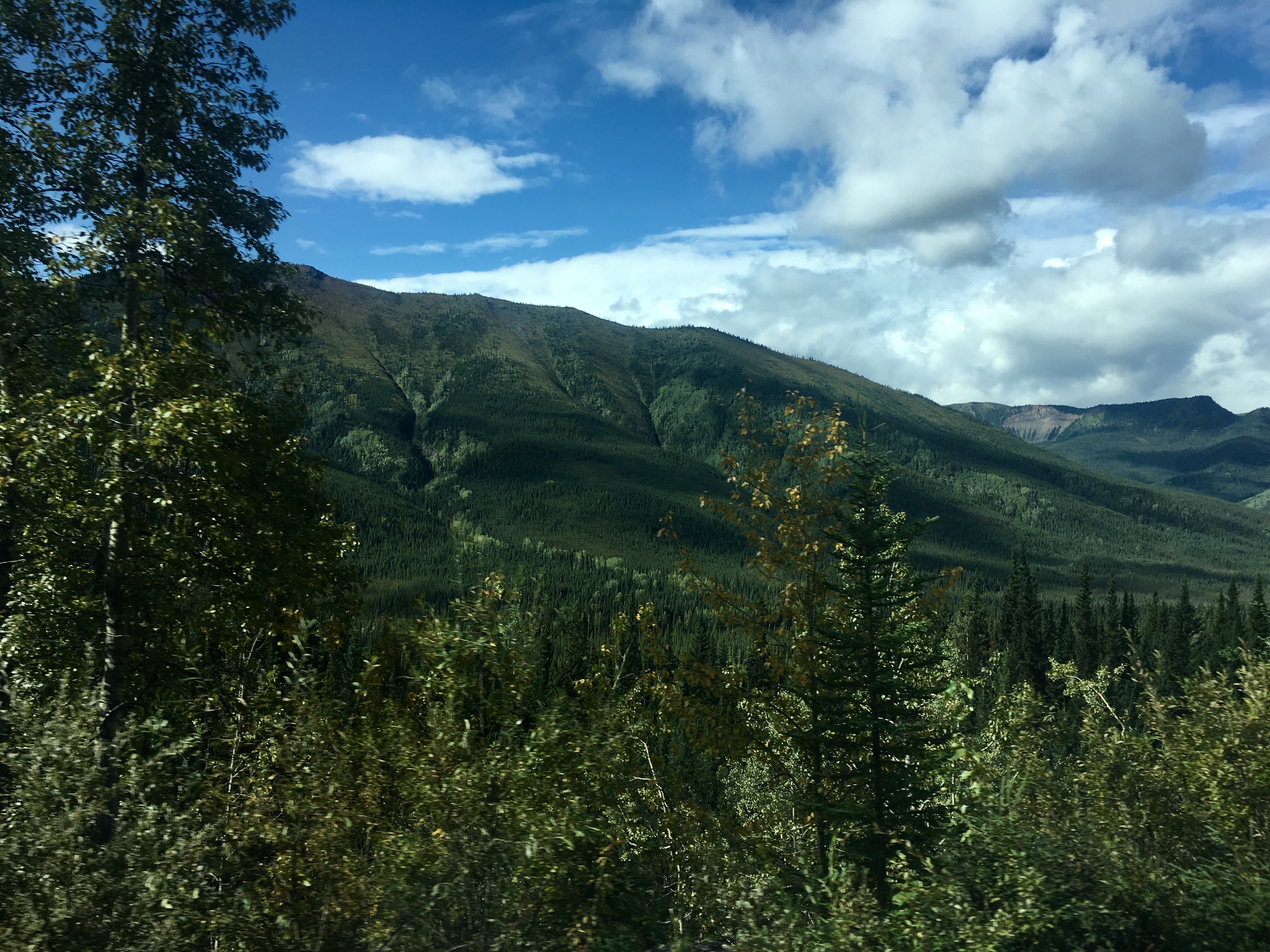
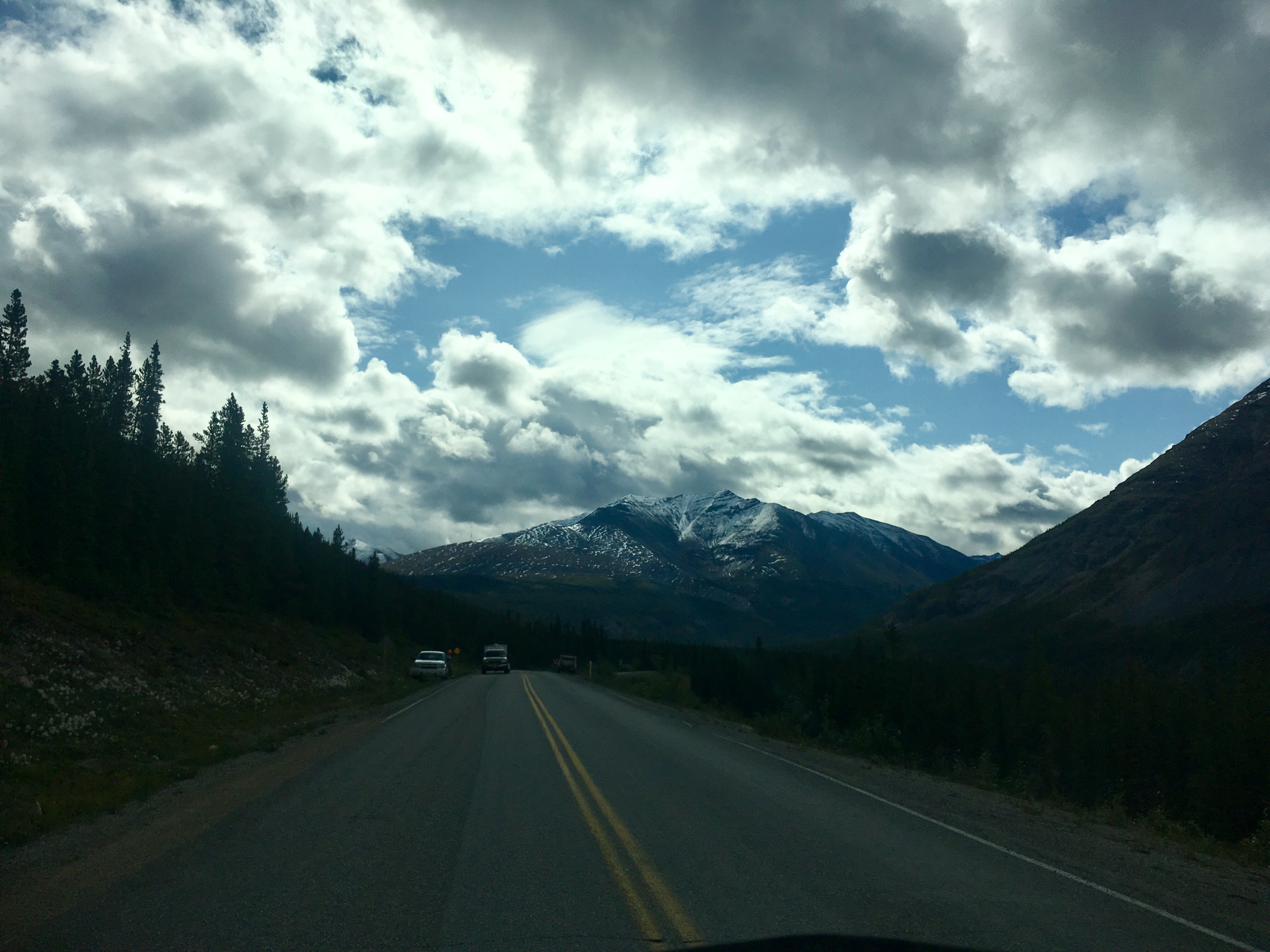
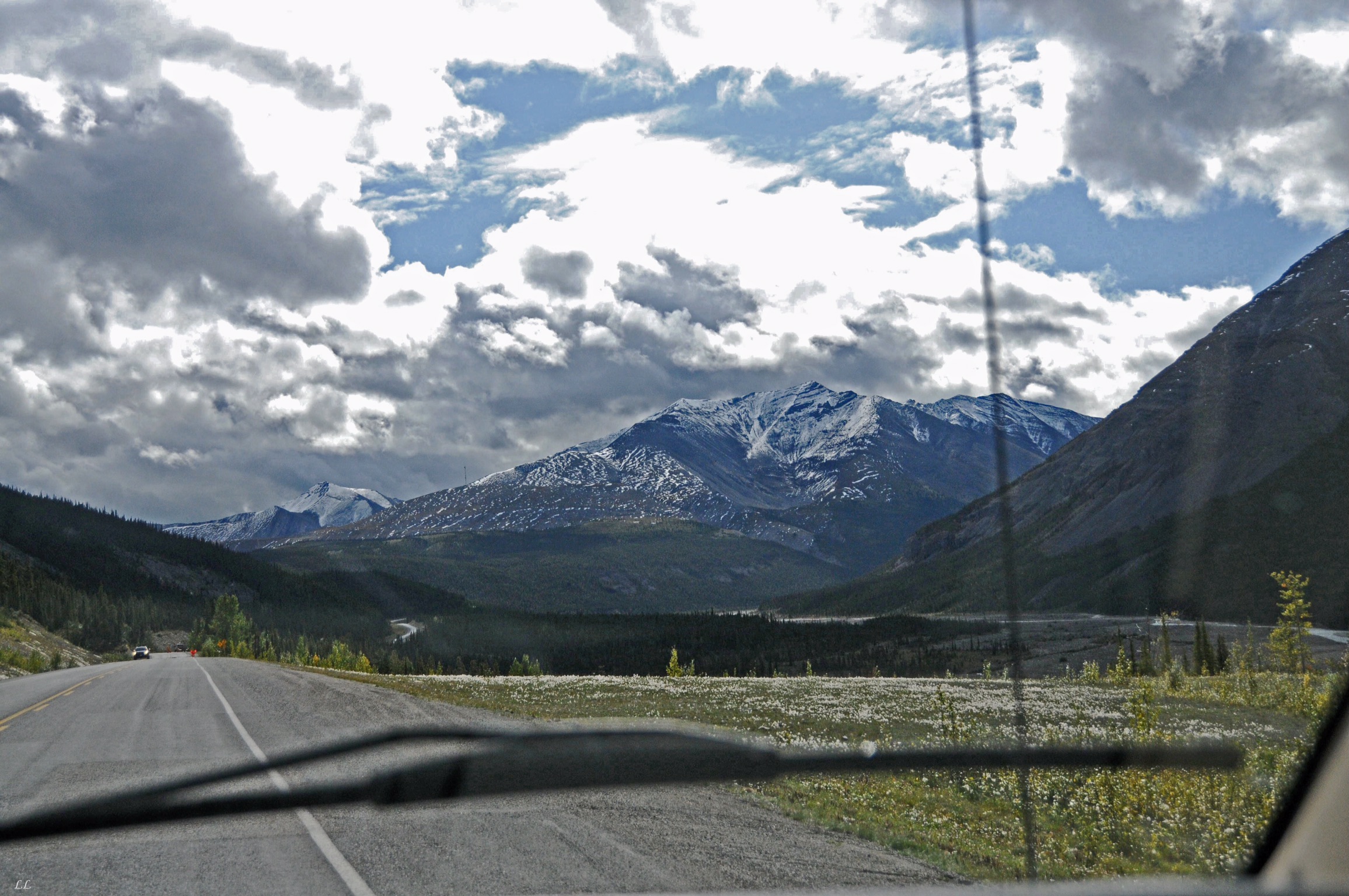
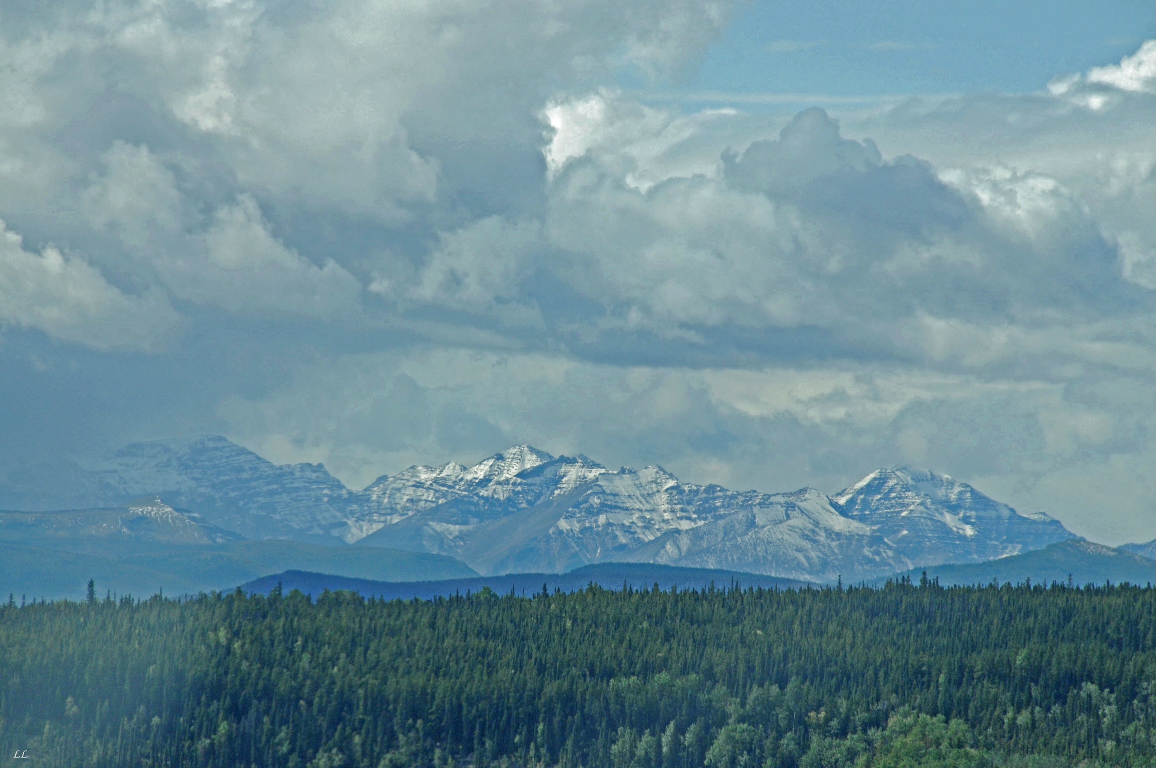
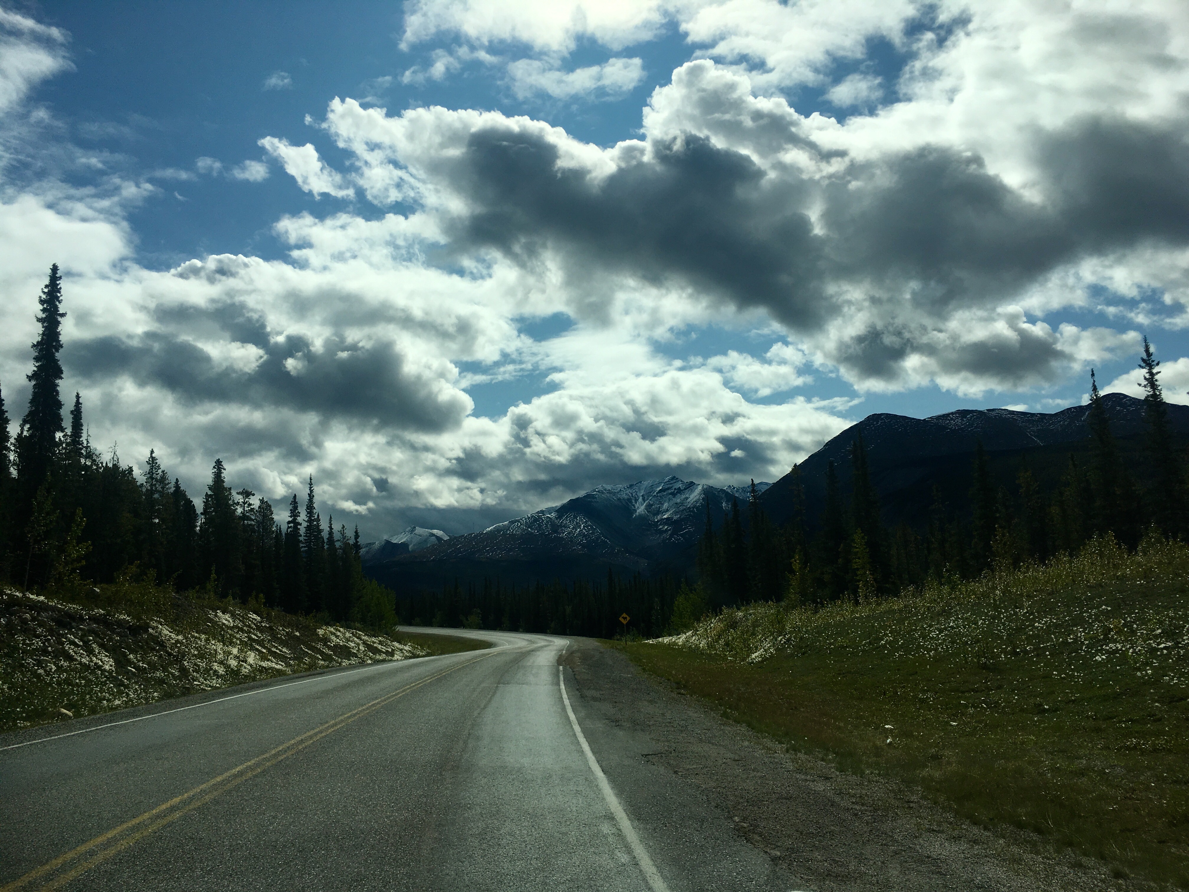
More snow capped mountains. People told us that the route through BC would get snow before Alaska. We are believers!
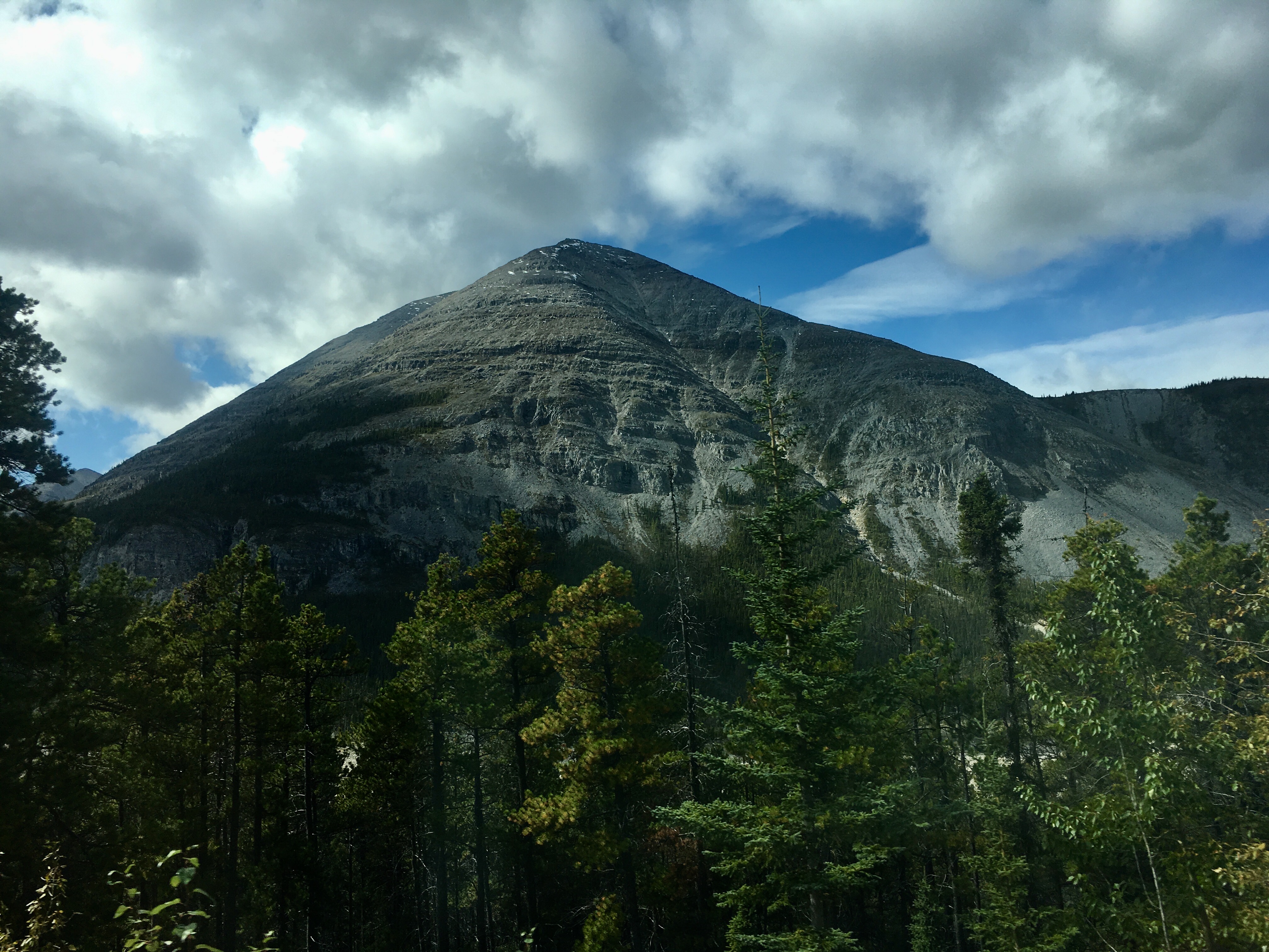
A great shot of Stone Mountain, the namesake of the park. Notice how close to the treeline we were.
Some people choose a very difficult mode of travel. We were miles from anywhere with lots of steep climbs in all directions. Ouch!
But if not…
